Catlins Conservation Park · Oceania · New Zealand
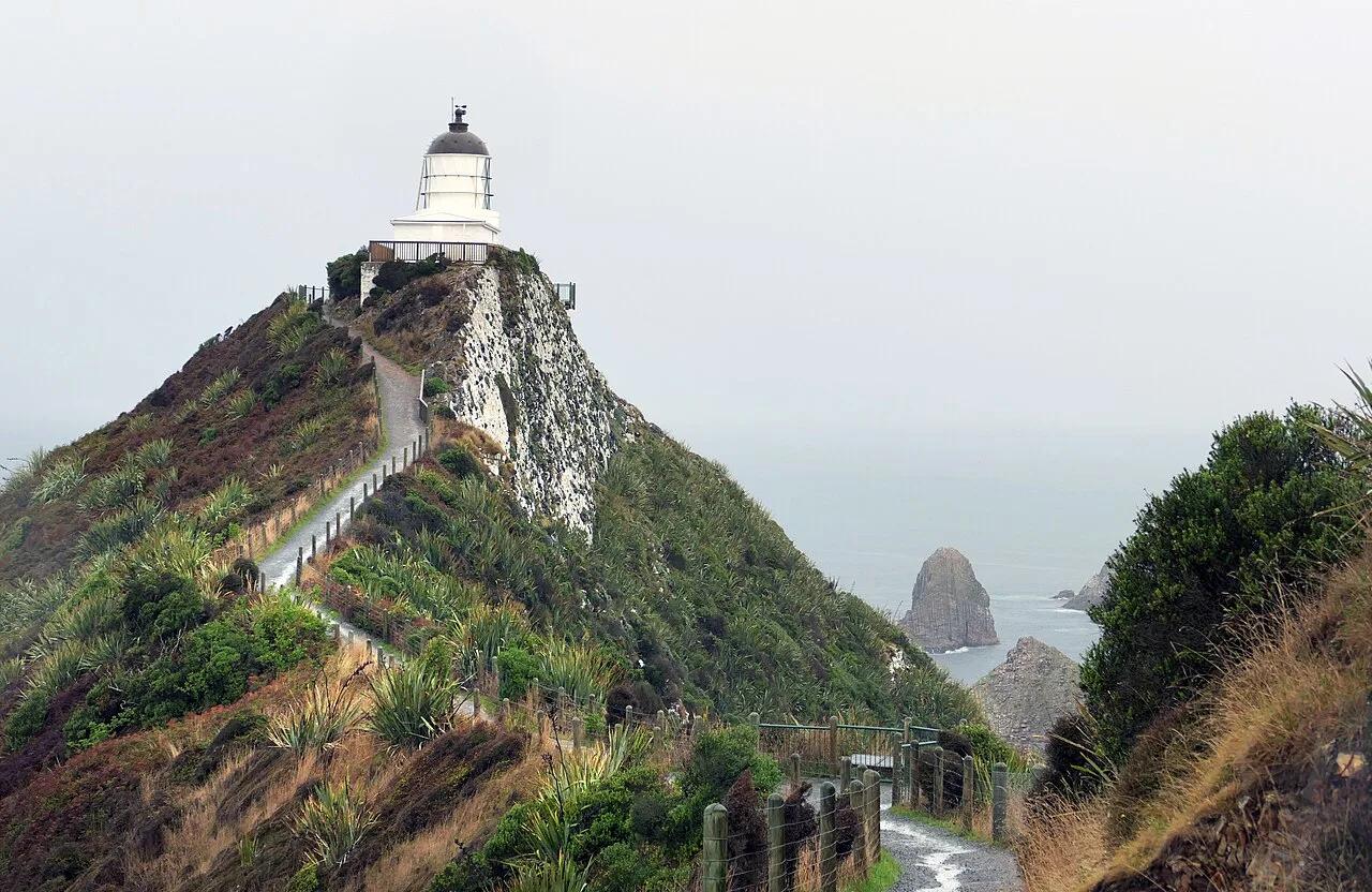
Nugget Point (Tokatā) Lighthouse & Sea Stacks
Knife-edge clifftop footpath to an 1869 stone lighthouse perched above wave-swept rocky 'nugget' islets and fur seal colonies.
- Route
- 1.4 mi
- Climb
- 164 ft
Browse & Discover
Canyon trails, waterfall walks, ridge traverses and high peaks.
1,159 of 2,051 places
Drag to pan. Double-click, pinch or scroll to zoom. Keyboard: arrow keys and +/−. Cards below remain available.
Loading map… Browse the spot cards below at any time.

Joshua Tree National Park
A granite arch in the White Tank monzogranite, reached by a short sandy trail from the Twin Tanks parking area.
John D. from Pasadena, USA · CC BY 2.0. Source & image licence

Joshua Tree National Park
A short desert trail to the historic Barker Dam water-storage structure in Joshua Tree National Park.
Hannah Schwalbe / NPS · Public domain. Source & image licence

Russian Ridge Open Space Preserve
The highest named summit in San Mateo County, an open grassland top on Russian Ridge with views from the ocean to the Bay.
Justin Dolske from Cupertino, USA · CC BY-SA 2.0. Source & image licence

Eaton Canyon Natural Area
The waterfall at the head of lower Eaton Canyon, reached by a wide wash walk from the Eaton Canyon Nature Center and a final creekside scramble.
[scott.medling or en:user:scott.medling user:scott.medling from California, United States] · CC BY-SA 2.0. Source & image licence

Escondido Canyon Park
A multi-tiered waterfall in Escondido Canyon above Malibu. The maintained trail ends at the base of the mossy lower tier.
Santa Monica Mountains National Recreation Area · Public domain. Source & image licence

Mount Tamalpais Watershed
A winter-and-spring cascade on Cataract Creek just below the Laurel Dell picnic area, reached downhill along the Cataract Trail from Rock Spring.
Richard Wood · CC BY-SA 3.0. Source & image licence

Joshua Tree National Park
One of the best-preserved stamp mills in Joshua Tree National Park, at the site of the Lost Horse gold mine.
Joseph from Cabin On The Road, USA · CC BY-SA 2.0. Source & image licence

Angeles National Forest
A waterfall of about fifty feet filling the head of a narrow, shaded canyon, a short walk upstream from Millard Campground.
Region 5 Photography · Public domain. Source & image licence

Mount Tamalpais State Park
The summit of Mount Tamalpais, a short plank-and-rock climb from the East Peak visitor area to the fire lookout above the whole Bay Area.
Chris Koerner from St. Louis, USA · CC BY-SA 2.0. Source & image licence

Inyo National Forest
A quiet lake in the Ansel Adams Wilderness beneath Parker Peak, reached through sage and an aspen-lined creek canyon off the June Lake Loop.
Mark Gunn from Novato, California, USA · CC BY 2.0. Source & image licence

Pfeiffer Big Sur State Park
A 60-foot waterfall on Pfeiffer-Redwood Creek, reached through the redwoods of Pfeiffer Big Sur State Park on a trail twice rebuilt — after the 2008 Basin Complex Fire and again after 2023 storm damage.
Joe Mabel · CC BY-SA 4.0. Source & image licence

Santa Monica Mountains National Recreation Area
The highest point in the Santa Monica Mountains, climbed from the Mishe Mokwa trailhead along the Backbone Trail at Circle X Ranch.
Wasquewhat · CC BY-SA 4.0. Source & image licence

Angeles National Forest
A 50-foot single drop into a shallow plunge pool, 1.7 mi up Big Santa Anita Canyon. Shaded the entire way in. The work is all on the walk out.
U.S. Department of Agriculture / USDA USFS · CC BY 2.0. Source & image licence

Santa Monica Mountains National Recreation Area
The ruins of the Roberts family ranch house at the end of the canyon-floor trail in Solstice Canyon, beside a small seasonal waterfall.
George Heras / Santa Monica Mountains National Recreation Area · Public domain. Source & image licence

Pfeiffer Big Sur State Park
An overlook above the Big Sur River valley, looking north over the redwoods toward Point Sur and the Pacific.
King of Hearts · CC BY-SA 3.0. Source & image licence

Catlins Conservation Park · Oceania · New Zealand
Knife-edge clifftop footpath to an 1869 stone lighthouse perched above wave-swept rocky 'nugget' islets and fur seal colonies.
Photo: Bernard Spragg. NZ from Christchurch, New Zealand · Public domain

Wrangell-St. Elias National Park & Preserve (McCarthy) · Alaska
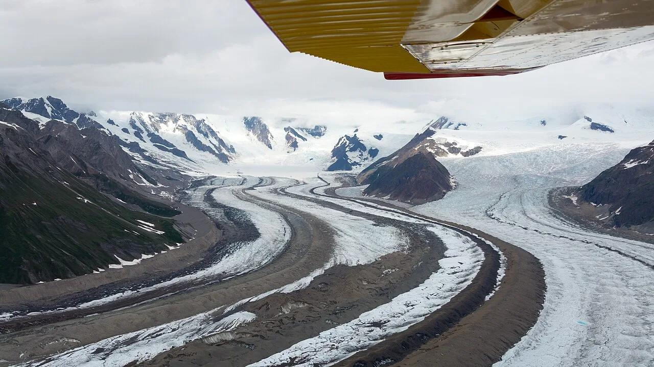
Walk directly onto the brilliant blue ice pools and moulins of the Root Glacier beneath 16,390-foot Mount Blackburn in America's largest national park.
Photo: Christoph Strässler from Oberdorf BL, Schweiz · CC BY-SA 2.0

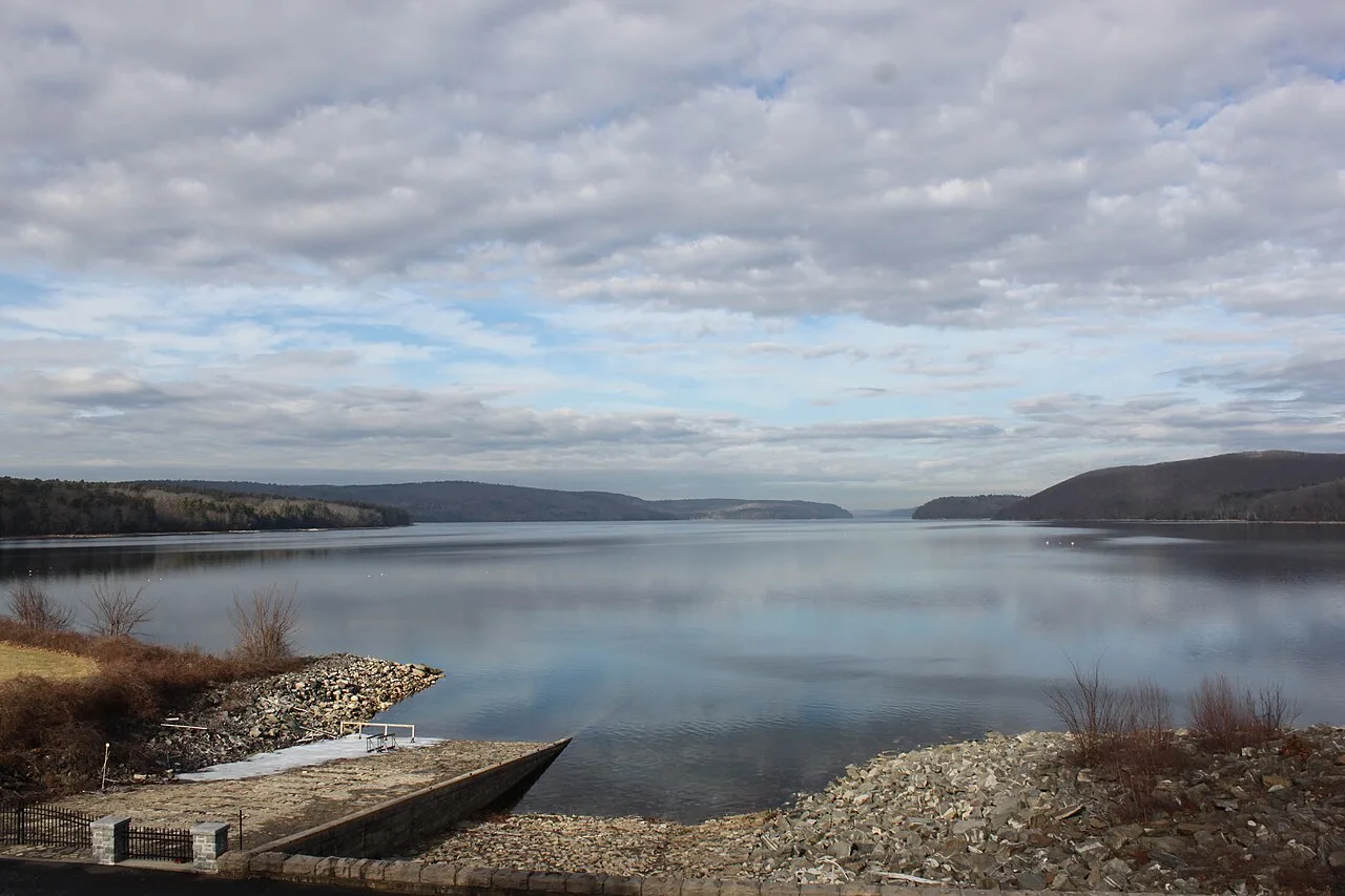
Quabbin Reservoir Reservation (DCR) · Central Massachusetts · Massachusetts
A 39-square-mile pristine drinking water reservoir surrounded by 80,000 acres of protected wilderness and nesting bald eagles.
Photo: engineerchange · CC BY 2.0

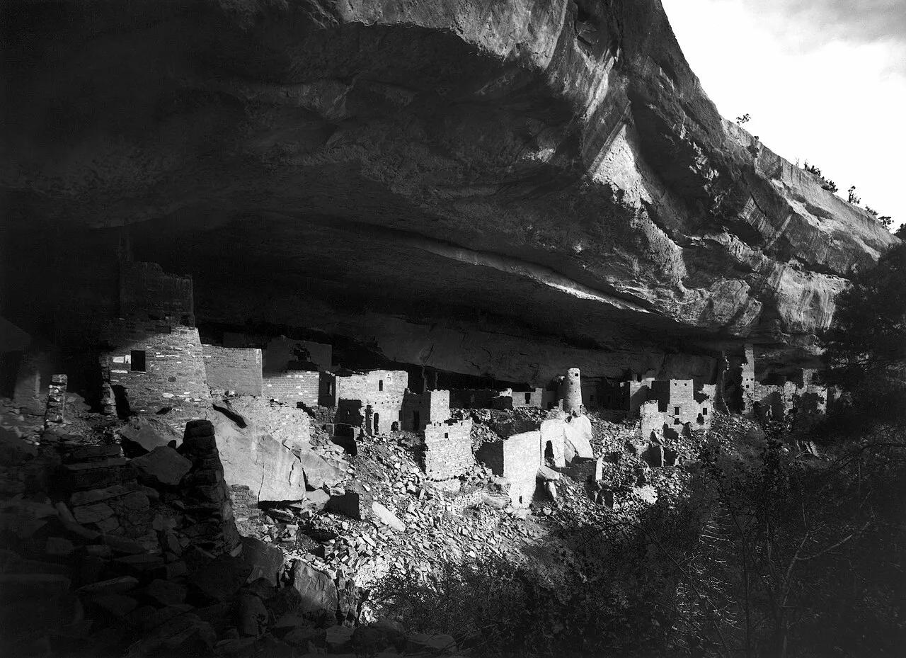
Mesa Verde National Park · American Southwest · Colorado
The largest ancestral Pueblo cliff dwelling in North America, tucked into a massive sandstone canyon alcove.
Photo: Gustaf Nordenskiöld, edit of en:Image:Mesa Verde - Cliff Palace in 1891.jpg b... · Public domain

Niagara Falls State Park · Western New York · New York
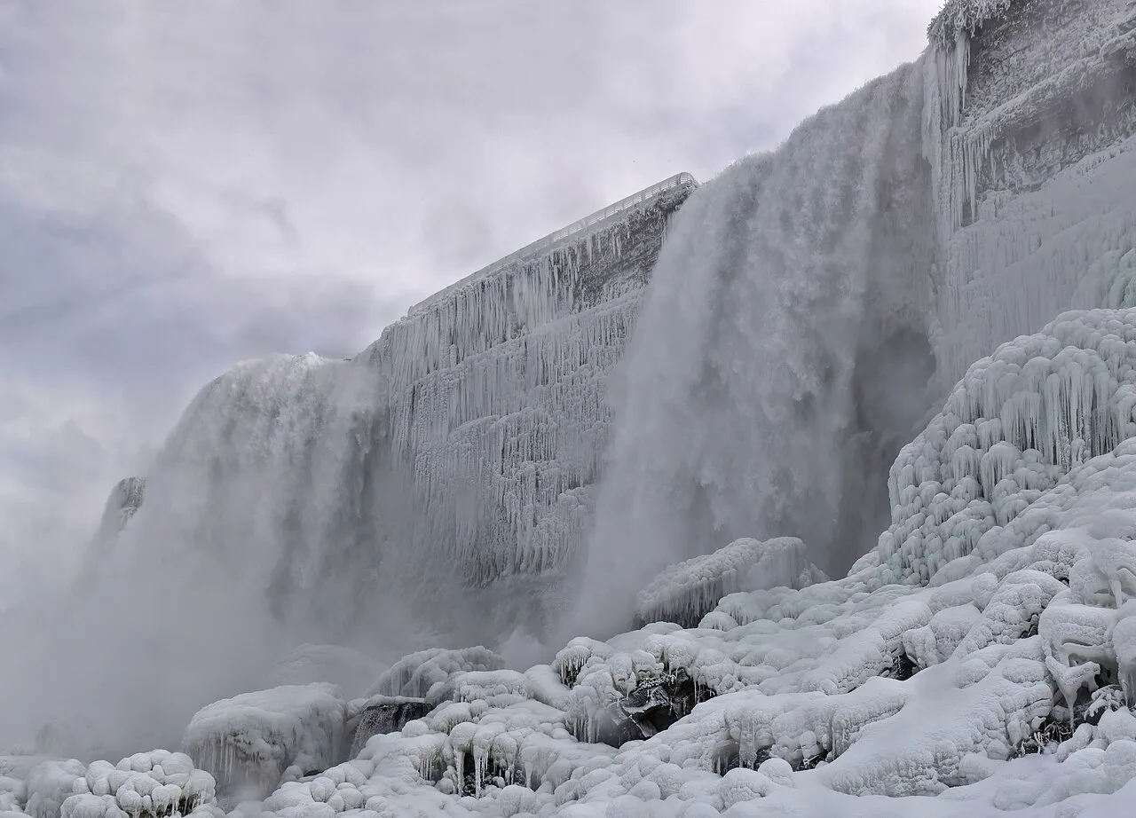
Stormy redwood decking stands feet from the roaring torrent of Bridal Veil Falls above the turbulent Class VI Niagara Gorge Whirlpool.
Photo: The Cosmonaut, editing by Wilfredor · CC BY-SA 2.5

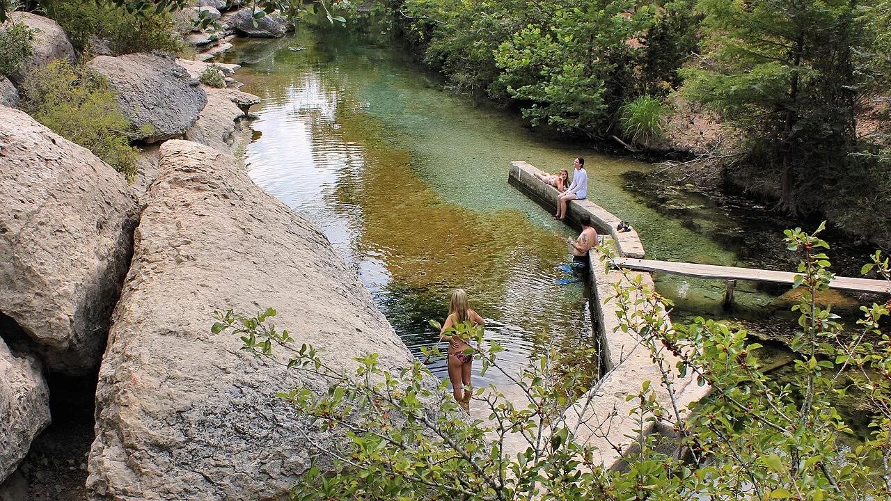
Jacob's Well Natural Area (Hays County) · Texas Hill Country · Texas
Artesian spring chamber where thousands of gallons per minute boil up from the Trinity Aquifer through a 140-foot deep submerged underwater cave system.
Photo: Larry D. Moore · CC BY 4.0

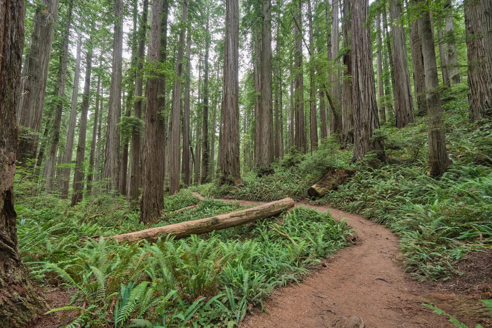
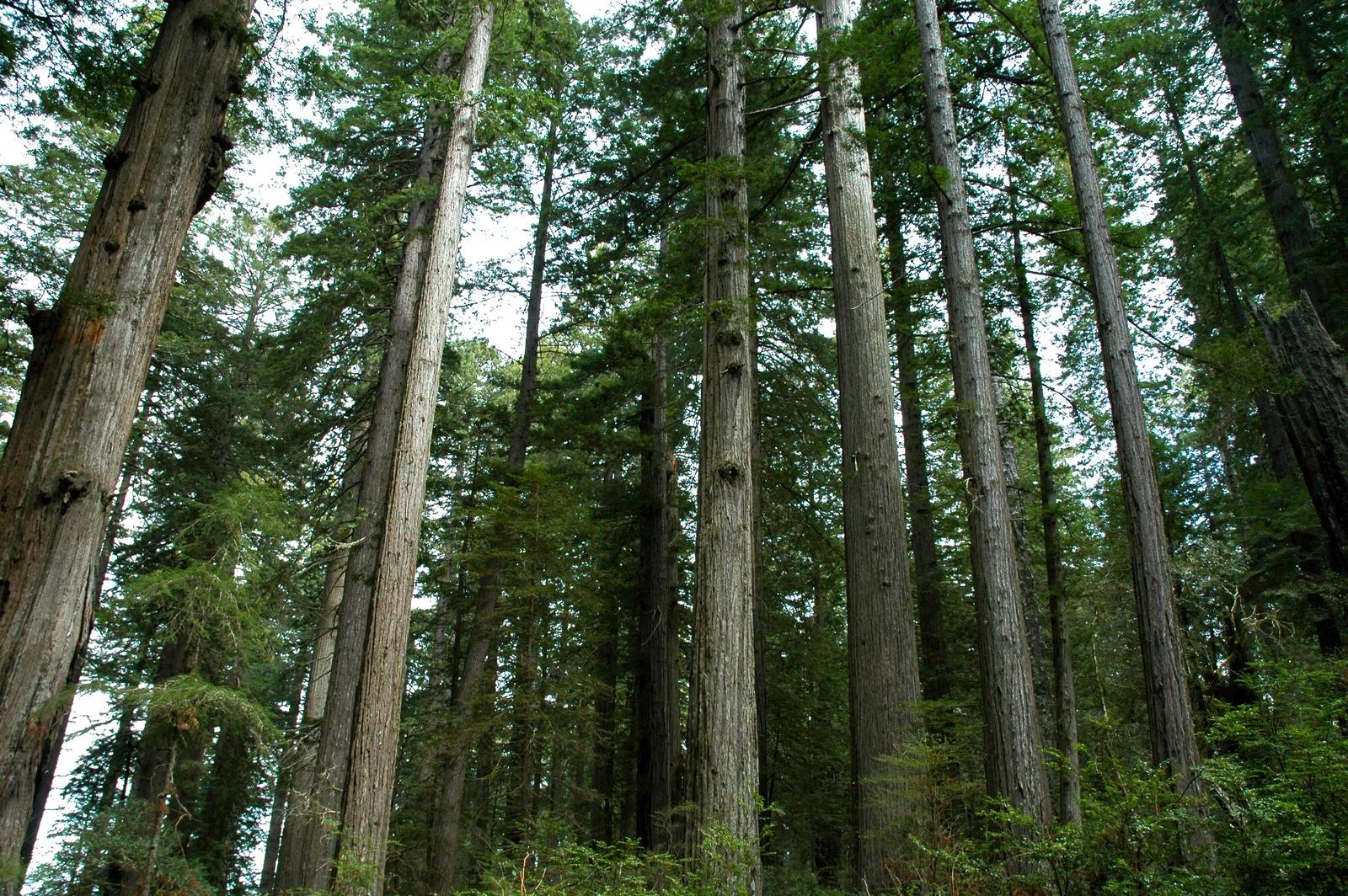
Jedediah Smith Redwoods State Park · Redwood Empire & North Coast
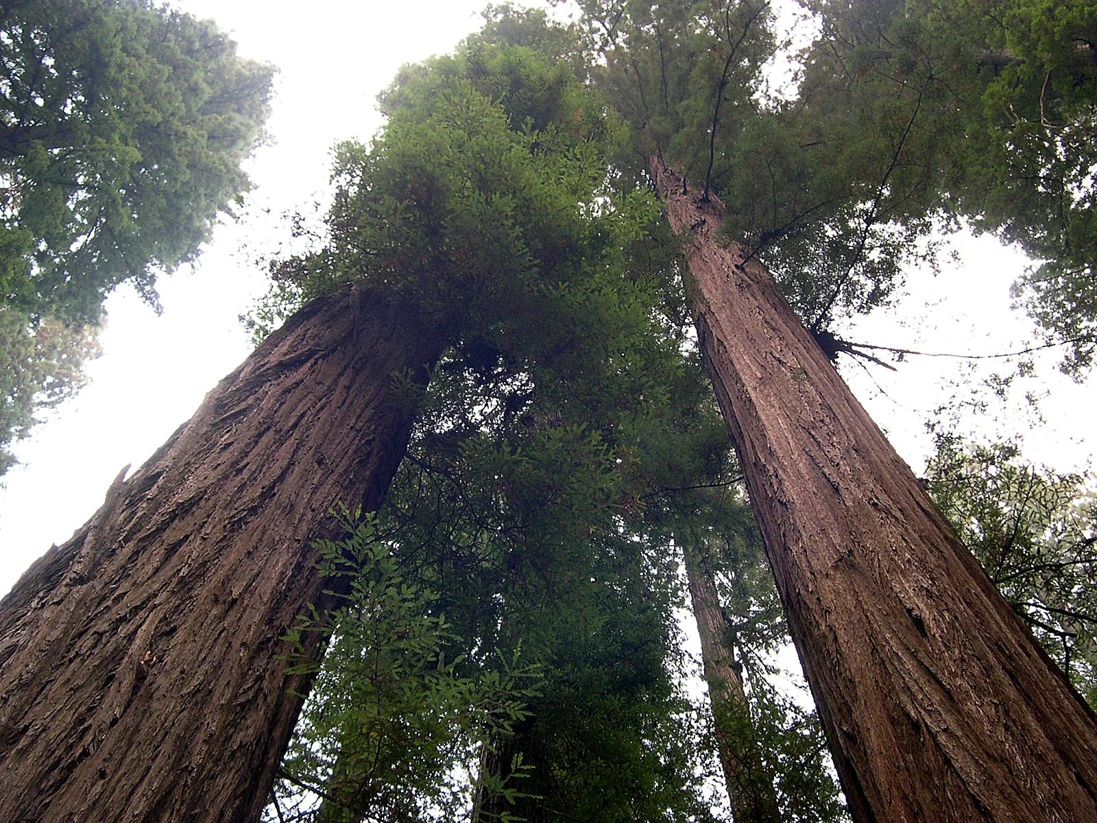
A breathtaking primeval trek through dense old-growth redwoods leading deep into ancient wilderness to a massive fused double tree.
Photo: Chris Rycroft from Madison, Wisconsin, United States · CC BY 2.0

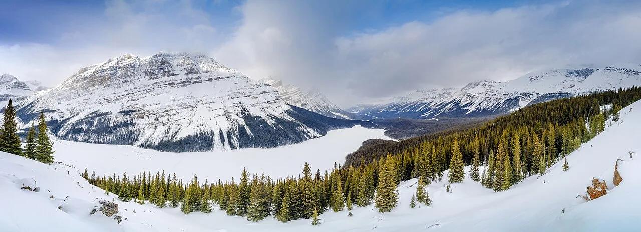
Banff National Park (Icefields Parkway) · Canadian Rockies & BC · Canada
The highest viewpoint on the Icefields Parkway overlooking wolf-head-shaped Peyto Lake glowing neon cyan from Peyto Glacier rock flour.
Photo: Jakub Fryš · CC BY-SA 4.0

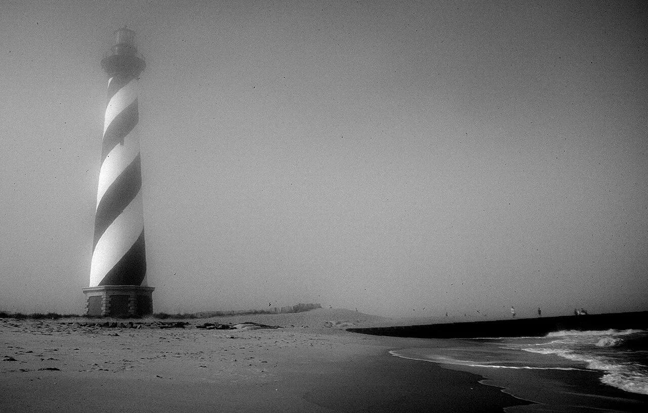
Cape Hatteras National Seashore (Outer Banks) · Atlantic & Gulf Coasts · North Carolina
America's tallest brick lighthouse (198 ft) standing above powerful Atlantic surf breaks and the maritime live-oak dunes of Buxton Woods.
Photo: Jon Gudorf Photography · CC BY-SA 2.0

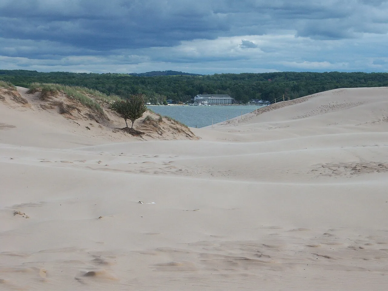
Silver Lake State Park · West Michigan · Michigan
Nearly 3,000 acres of rolling living Sahara-like sand dunes nestled between silver Lake and Lake Michigan, framed by the historic 1874 Little Sable lighthouse.
Photo: NOAA Great Lakes Environmental Research Laboratory · CC BY-SA 2.0

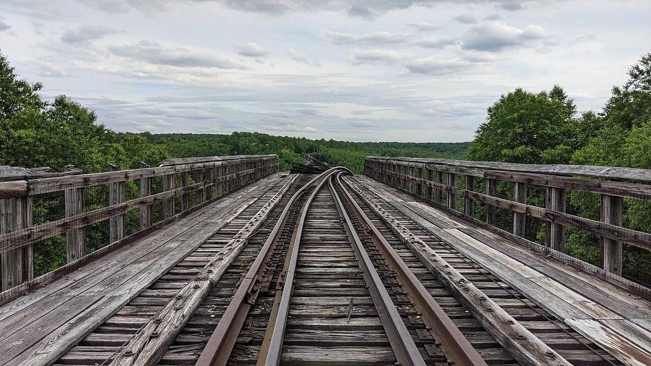
Kinzua Bridge State Park · PA Wilds / Allegheny Plateau · Pennsylvania
Walk 600 feet out onto a 225-foot-high historic railroad viaduct skywalk with a glass floor looking directly into the Kinzua Gorge.
Photo: MasterDoggo · CC BY-SA 4.0

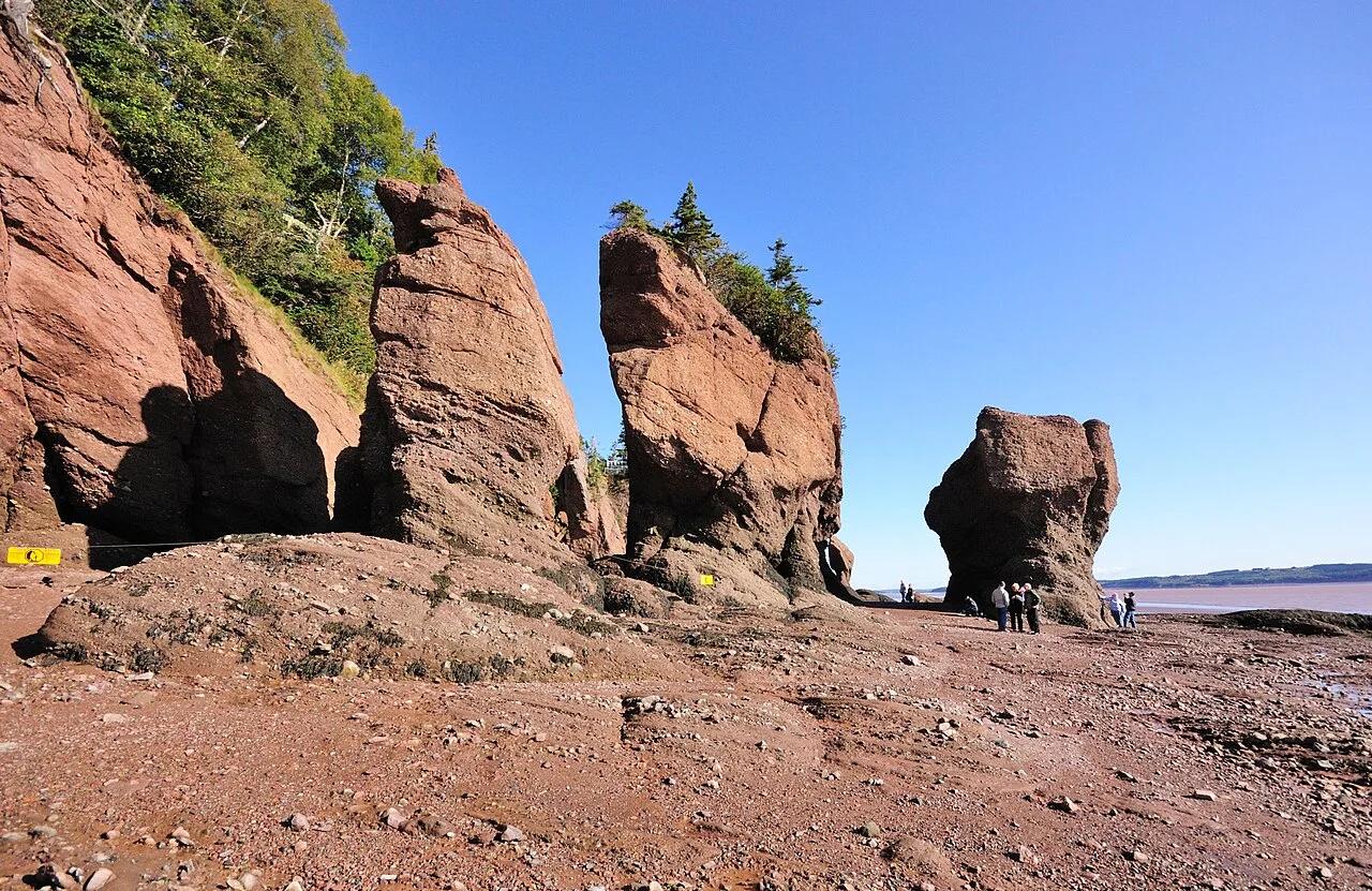
Hopewell Rocks Provincial Park (Bay of Fundy) · Atlantic Canada · Canada
Balsam-fir-topped sandstone sea stacks sculpted by the highest tides on Earth (up to 16 meters / 52 feet), explored by foot at low tide and kayak at high tide.
Photo: Wladyslaw · CC BY-SA 3.0

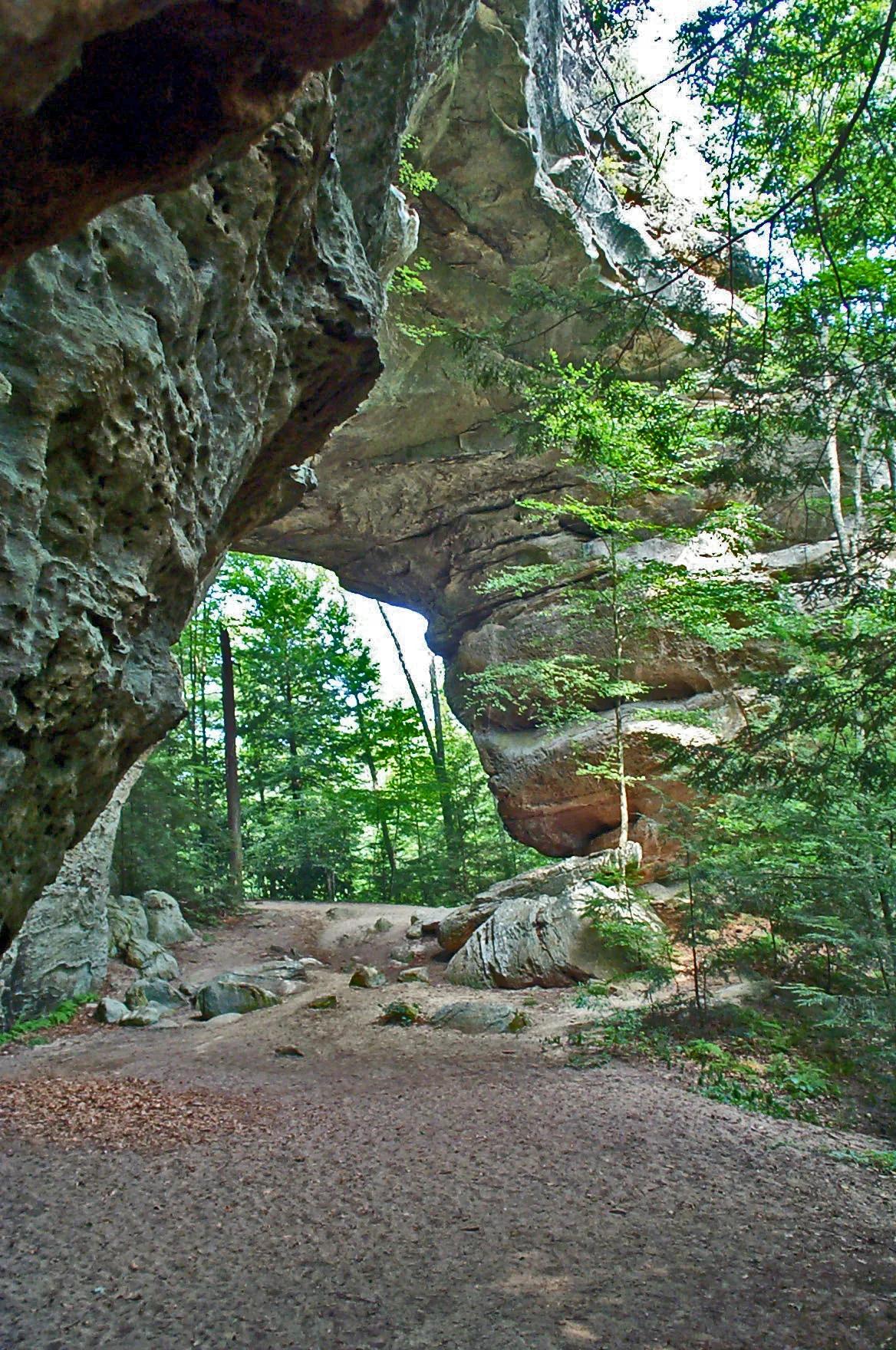
Big South Fork National River and Recreation Area · Appalachian & Blue Ridge · Tennessee
One of the largest natural sandstone bridge complexes in the Eastern United States, featuring 103-foot-high South Arch and 93-foot-wide North Arch.
Photo: NPS Staff · Public domain

California Coastal National Monument / BLM · Redwood Empire & North Coast
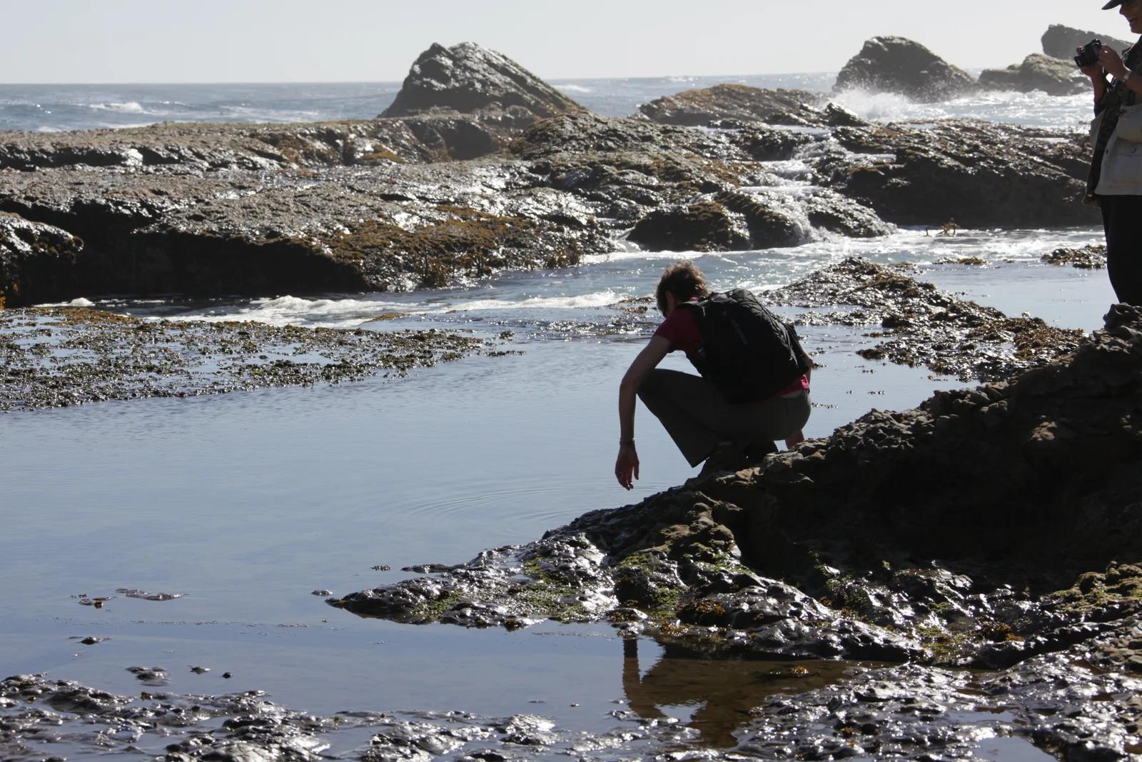
Windswept sea bluffs, blowholes, and offshore sea arches protecting diverse marine wildlife along the rugged Mendocino coastline.
Photo: U.S. Department of the Interior · CC BY-SA 2.0

Parque de Aventura Barrancas del Cobre (Sierra Tarahumara) · Mexico & Central America · Mexico
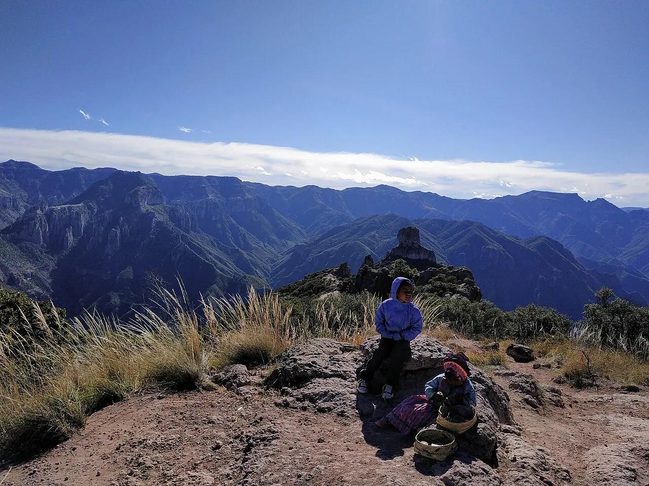
System of six interlocking Sierra Madre Occidental canyons deeper and four times larger in area than the Grand Canyon.
Photo: Adrian · CC BY-SA 4.0

Green Mountain National Forest (Warren) · Northeast & New England · Vermont
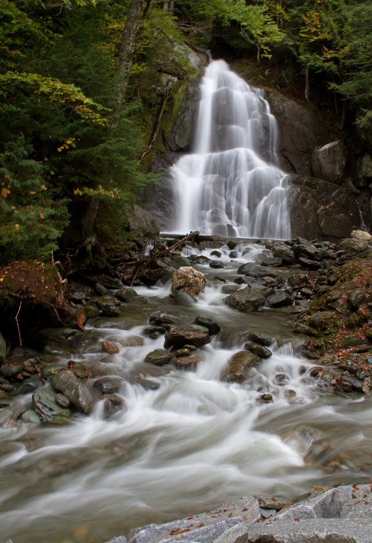
Sculpted green-schist bedrock chutes and deep emerald plunge pools along the Mad River in central Vermont.
Photo: Tony Hisgett from Birmingham, UK · CC BY 2.0

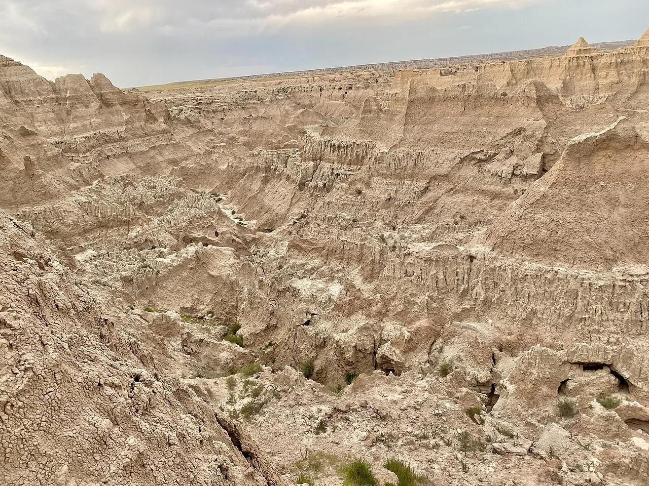
Badlands National Park · Great Plains & Heartland · South Dakota
Dramaticbadlands canyon hike climbing a 50-foot log-and-cable ladder to a cliff-edge 'Notch' window overlooking the White River Valley.
Photo: w_lemay · CC BY-SA 2.0

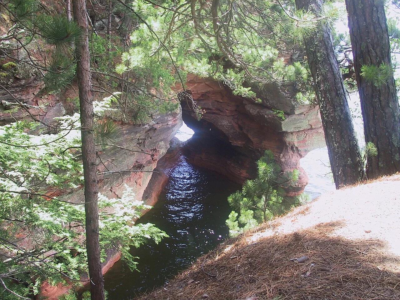
Apostle Islands National Lakeshore (Cornucopia) · Midwest & Great Lakes · Wisconsin
Wave-carved red Devils Island sandstone arches, vaulted chambers, and pillar caves along the crystal waters of Lake Superior.
Photo: Markheffron2 · CC BY-SA 3.0