Santa Catalina Island Conservancy · Southern California Coast
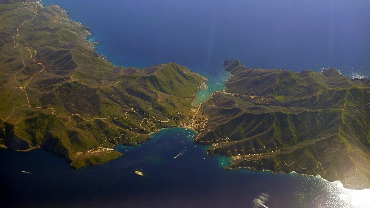
Two Harbors Ocean Bluff Campground (Catalina Island)
Palapa-shaded island bluff campsites overlooking Isthmus Cove and Cat Harbor on the Trans-Catalina Trail.
- Route
- 4 mi
- Climb
- 591 ft
Browse & Discover
Canyon trails, waterfall walks, ridge traverses and high peaks.
1,159 of 2,051 places
Drag to pan. Double-click, pinch or scroll to zoom. Keyboard: arrow keys and +/−. Cards below remain available.
Loading map… Browse the spot cards below at any time.

Joshua Tree National Park
A granite arch in the White Tank monzogranite, reached by a short sandy trail from the Twin Tanks parking area.
John D. from Pasadena, USA · CC BY 2.0. Source & image licence

Joshua Tree National Park
A short desert trail to the historic Barker Dam water-storage structure in Joshua Tree National Park.
Hannah Schwalbe / NPS · Public domain. Source & image licence

Russian Ridge Open Space Preserve
The highest named summit in San Mateo County, an open grassland top on Russian Ridge with views from the ocean to the Bay.
Justin Dolske from Cupertino, USA · CC BY-SA 2.0. Source & image licence

Eaton Canyon Natural Area
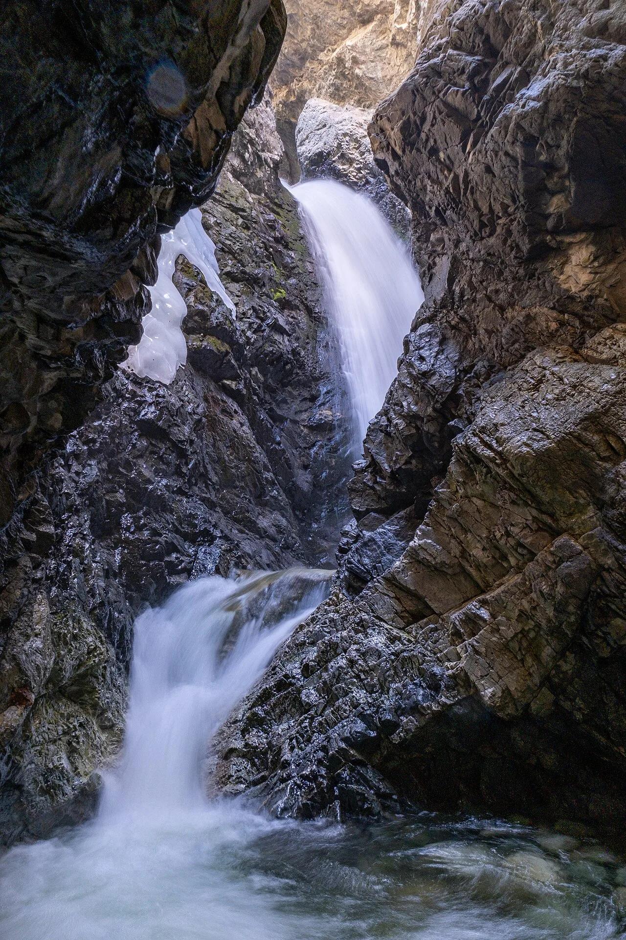
The waterfall at the head of lower Eaton Canyon, reached by a wide wash walk from the Eaton Canyon Nature Center and a final creekside scramble.
[scott.medling or en:user:scott.medling user:scott.medling from California, United States] · CC BY-SA 2.0. Source & image licence

Escondido Canyon Park
A multi-tiered waterfall in Escondido Canyon above Malibu. The maintained trail ends at the base of the mossy lower tier.
Santa Monica Mountains National Recreation Area · Public domain. Source & image licence

Mount Tamalpais Watershed
A winter-and-spring cascade on Cataract Creek just below the Laurel Dell picnic area, reached downhill along the Cataract Trail from Rock Spring.
Richard Wood · CC BY-SA 3.0. Source & image licence

Joshua Tree National Park
One of the best-preserved stamp mills in Joshua Tree National Park, at the site of the Lost Horse gold mine.
Joseph from Cabin On The Road, USA · CC BY-SA 2.0. Source & image licence

Angeles National Forest
A waterfall of about fifty feet filling the head of a narrow, shaded canyon, a short walk upstream from Millard Campground.
Region 5 Photography · Public domain. Source & image licence

Mount Tamalpais State Park
The summit of Mount Tamalpais, a short plank-and-rock climb from the East Peak visitor area to the fire lookout above the whole Bay Area.
Chris Koerner from St. Louis, USA · CC BY-SA 2.0. Source & image licence

Inyo National Forest
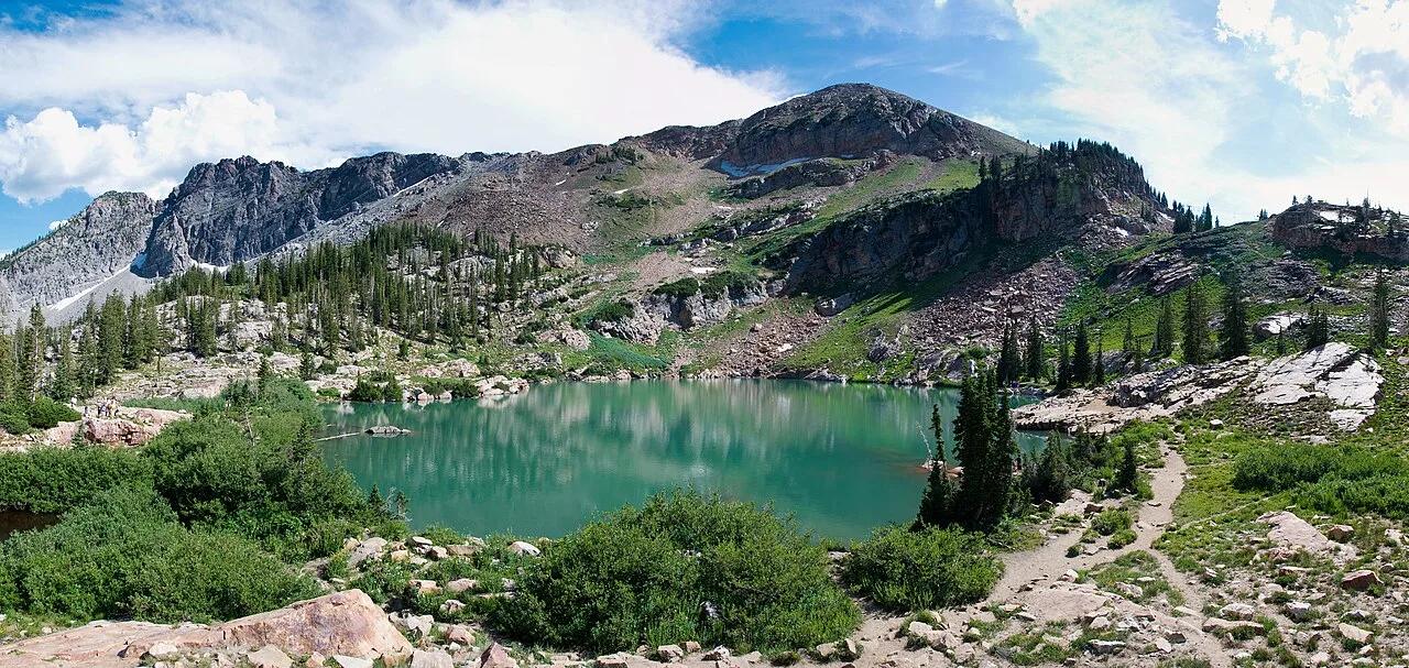
A quiet lake in the Ansel Adams Wilderness beneath Parker Peak, reached through sage and an aspen-lined creek canyon off the June Lake Loop.
Mark Gunn from Novato, California, USA · CC BY 2.0. Source & image licence

Pfeiffer Big Sur State Park
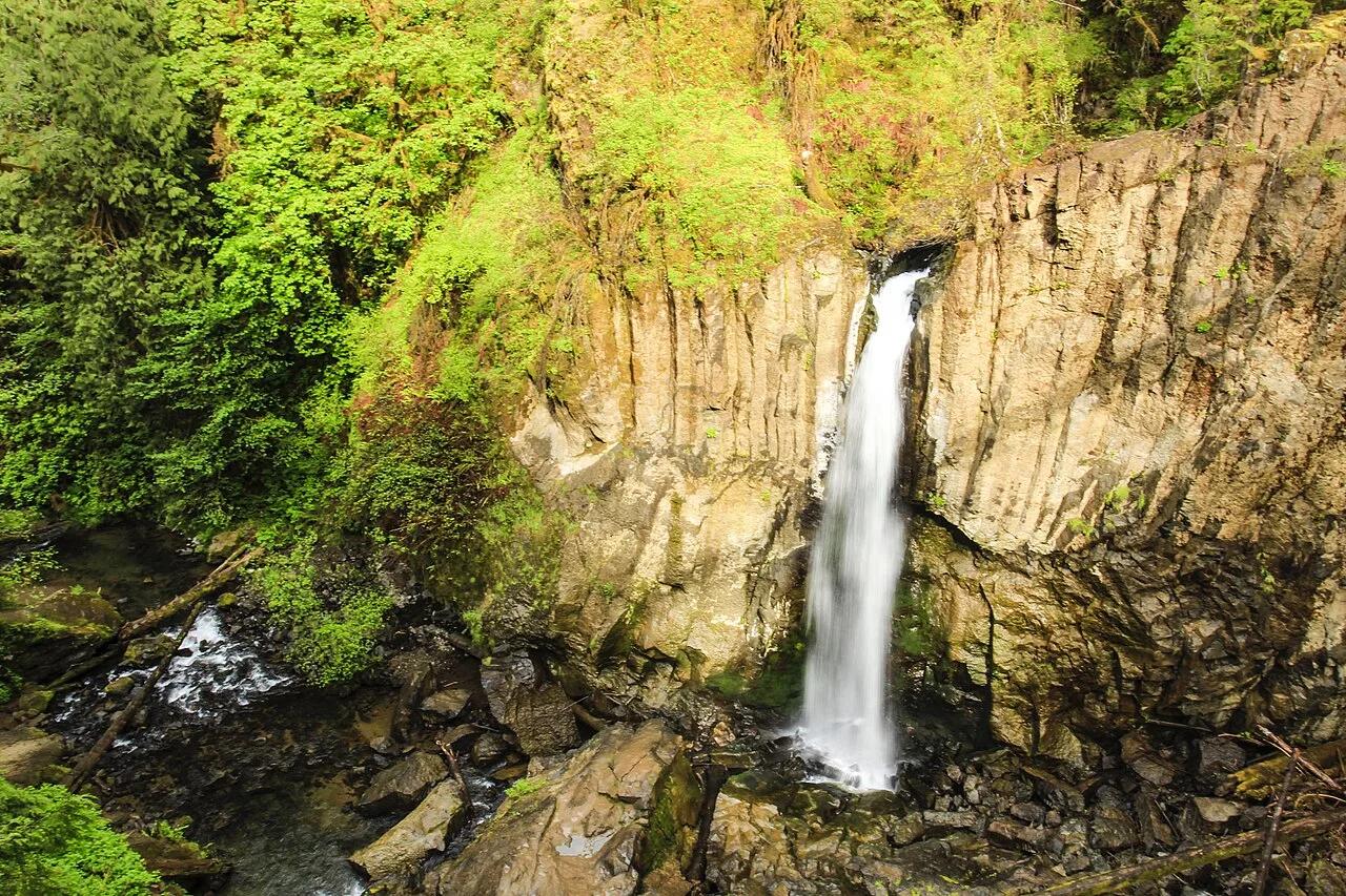
A 60-foot waterfall on Pfeiffer-Redwood Creek, reached through the redwoods of Pfeiffer Big Sur State Park on a trail twice rebuilt — after the 2008 Basin Complex Fire and again after 2023 storm damage.
Joe Mabel · CC BY-SA 4.0. Source & image licence

Santa Monica Mountains National Recreation Area
The highest point in the Santa Monica Mountains, climbed from the Mishe Mokwa trailhead along the Backbone Trail at Circle X Ranch.
Wasquewhat · CC BY-SA 4.0. Source & image licence

Angeles National Forest
A 50-foot single drop into a shallow plunge pool, 1.7 mi up Big Santa Anita Canyon. Shaded the entire way in. The work is all on the walk out.
U.S. Department of Agriculture / USDA USFS · CC BY 2.0. Source & image licence

Santa Monica Mountains National Recreation Area
The ruins of the Roberts family ranch house at the end of the canyon-floor trail in Solstice Canyon, beside a small seasonal waterfall.
George Heras / Santa Monica Mountains National Recreation Area · Public domain. Source & image licence

Pfeiffer Big Sur State Park
An overlook above the Big Sur River valley, looking north over the redwoods toward Point Sur and the Pacific.
King of Hearts · CC BY-SA 3.0. Source & image licence

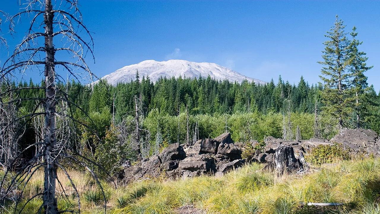
Mount St. Helens National Volcanic Monument · South Cascades · Washington
Contiguous United States' third-longest continuous basalt lava tube stretching over two miles through pitch-black subterranean conduits.
Photo: Greg Willis from Denver, CO, usa · CC BY-SA 2.0

Fire Island National Seashore · Long Island · New York
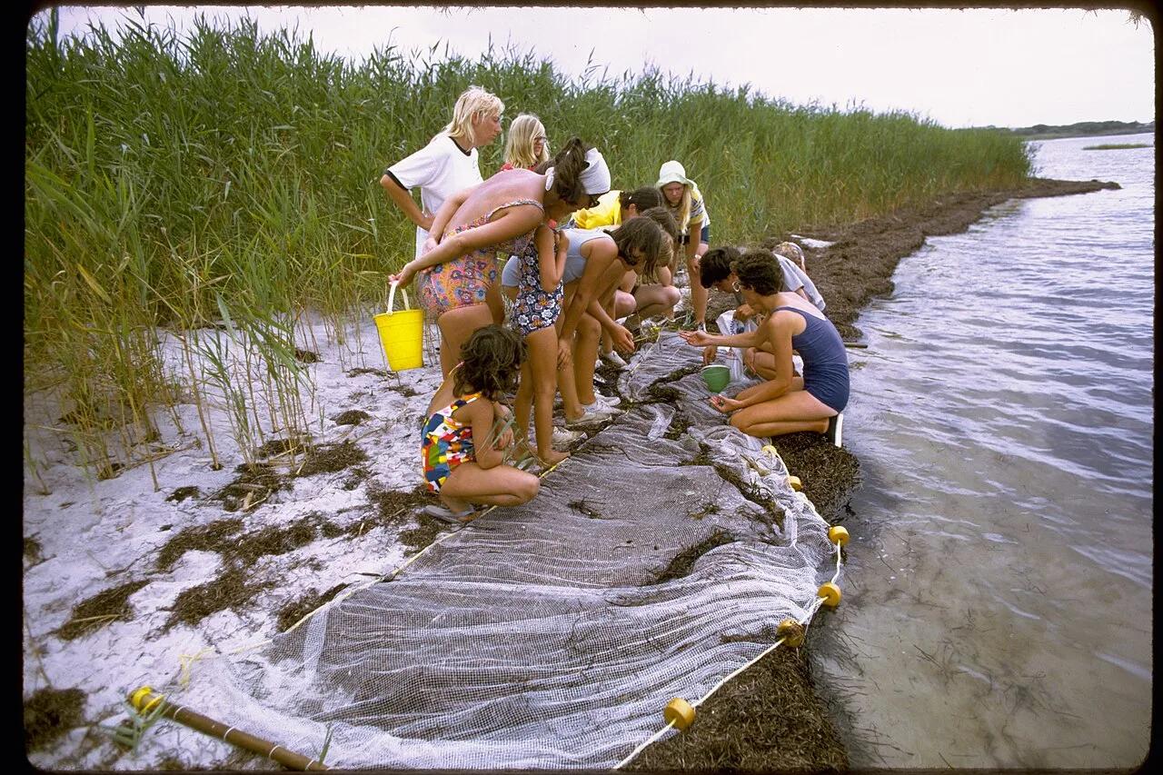
A 300-year-old maritime American holly canopy growing completely below sea level behind barrier dunes on the Atlantic shoreline.
Photo: National Park Service Digital Image Archives · Public domain

Al Hajar Eastern Coast (Tiwi) · Middle East & North Africa · Oman
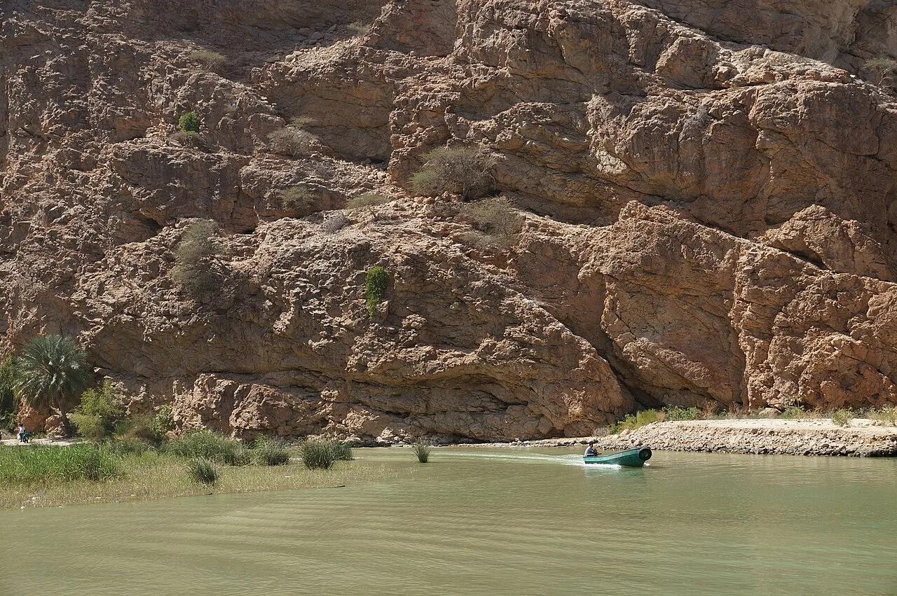
Date-palm limestone gorge leading to three crystal-clear turquoise swimming pools and a narrow keyhole slot opening into a subterranean waterfall cave.
Photo: albinfo · CC BY-SA 4.0

Wadi Ghul / Jebel Shams (Al Hajar Mountains) · Middle East & North Africa · Oman
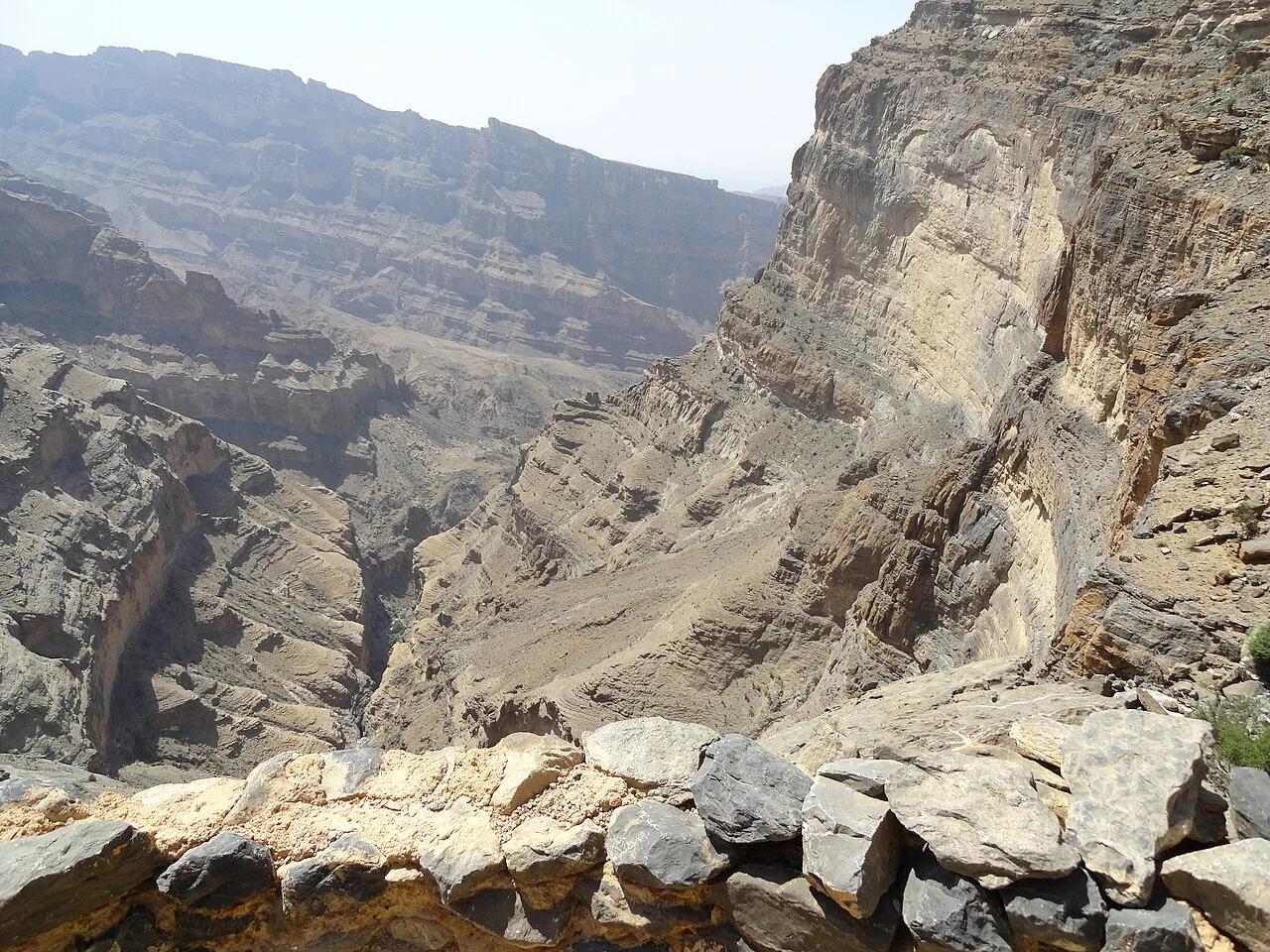
Dramatic cliff-ledge footpath carved mid-wall along the 1,000-meter-deep Wadi Ghul chasm to the abandoned stone village of As Sab.
Photo: Fabio Achilli from Milano, Italy · CC BY 2.0

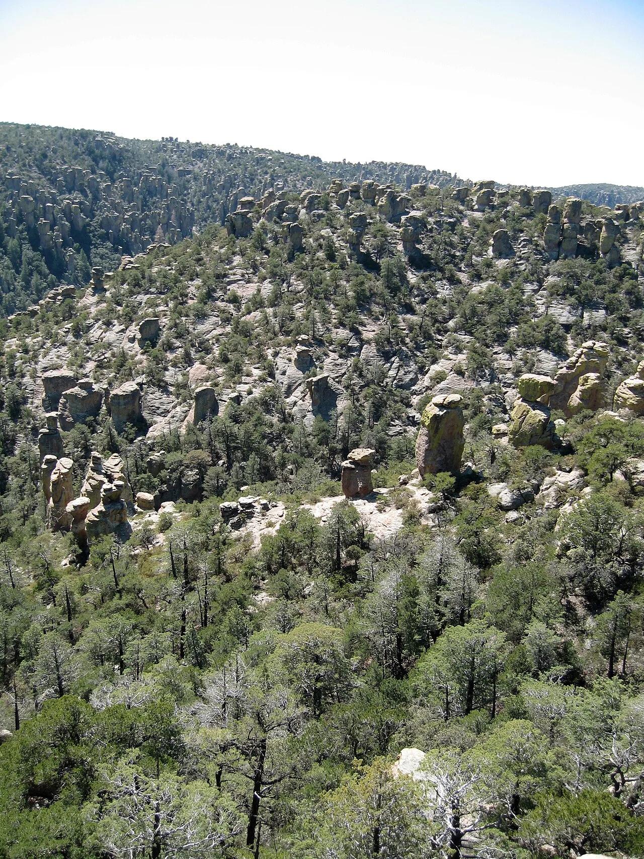
Chiricahua National Monument (Willcox) · Southwest & Sonoran Desert · Arizona
Labyrinth of towering volcanic rhyolite hoodoo pinnacles, balanced rocks, and narrow stone hallways in the Sky Islands of southeastern Arizona.
Photo: SonoranDesertNPS from Tucson, Arizona · CC BY 2.0

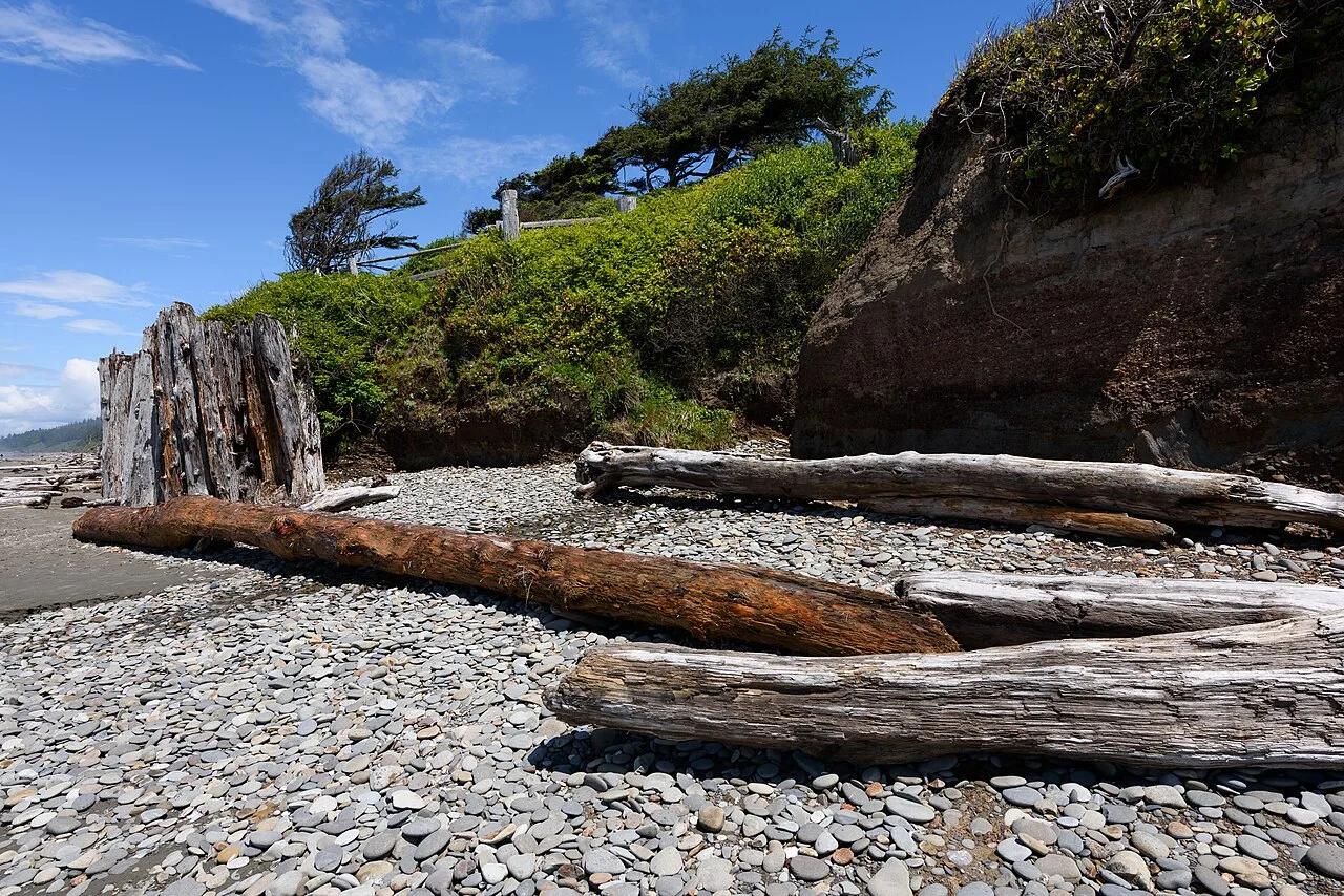
Olympic National Park · Olympic Peninsula · Washington
Coastal sandstone bluff campsites perched above pounding Pacific surf, giant Sitka spruce driftwood, and the Tree of Life root cave.
Photo: King of Hearts · CC BY-SA 4.0

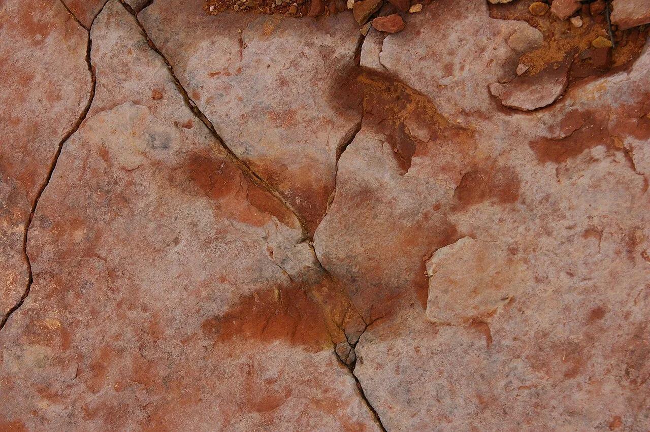
Coconino National Forest (Sedona) · Grand Canyon & Northern Arizona · Arizona
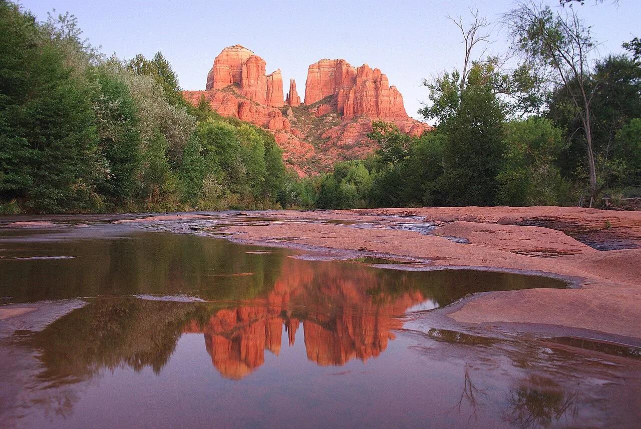
Steep red Schnebly Hill sandstone ledges and short rock-chimney scramble to a dramatic saddle framed by crimson spires.
Photo: Adam Baker from Houston / Moscow / Toulouse (travel a lot) · CC BY 2.0

Coron Island Ancestral Domain (Tagbanwa Reserve) · Southeast Asia · Philippines
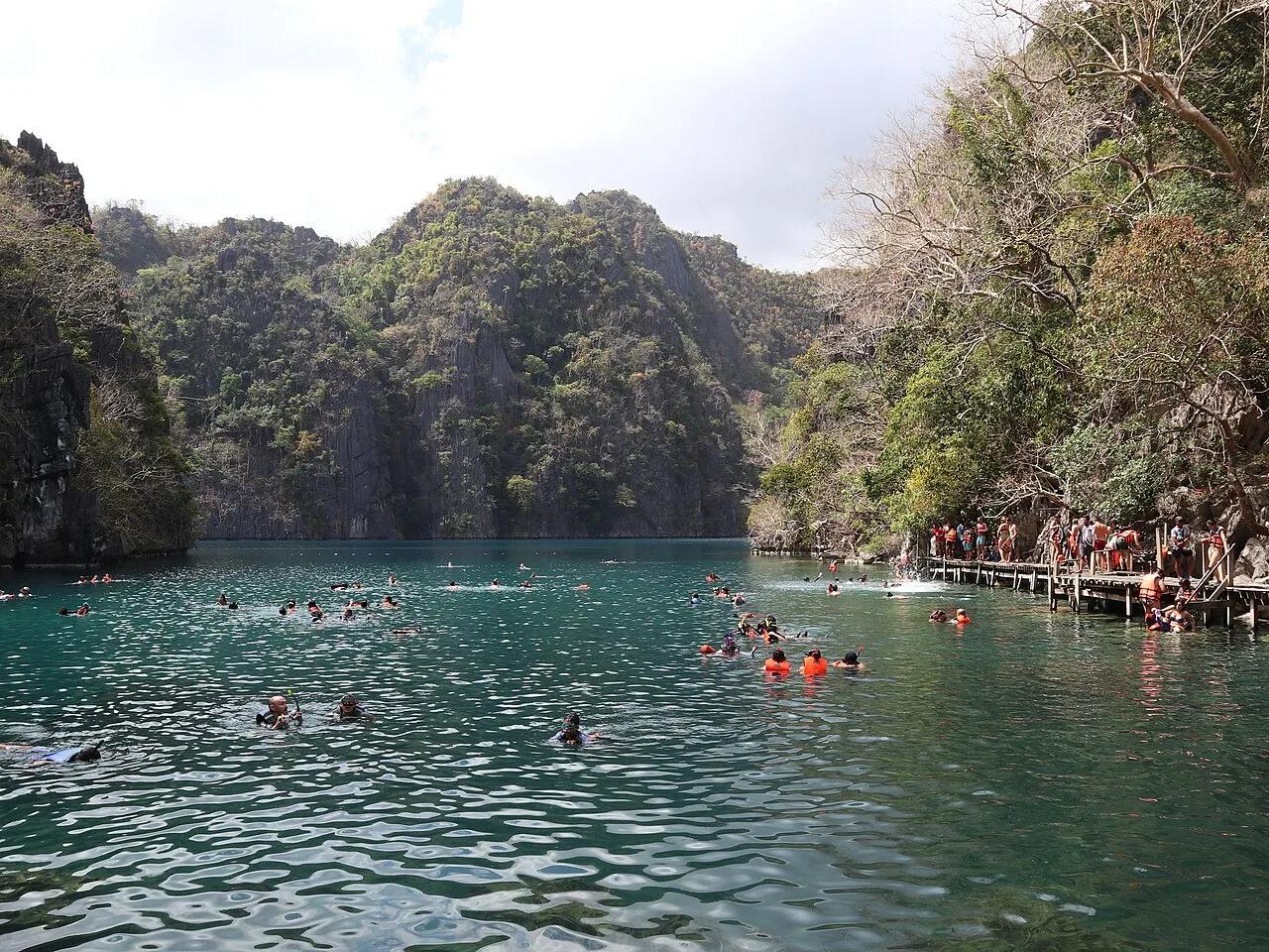
360 limestone steps over a jagged karst ridge to Asia's cleanest brackish crater lake and needle-like underwater pinnacles.
Photo: Patrickroque01 · CC BY-SA 4.0

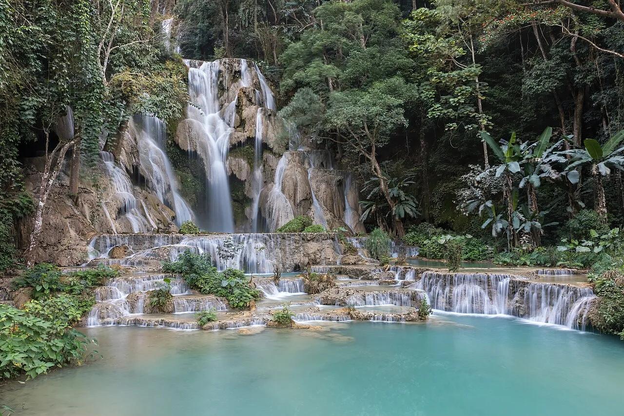
Tat Kuang Si Park & Jungle Reserve · Southeast Asia · Laos
60-meter vertical limestone cataract feeding a staircase of milky-turquoise calcium-carbonate swimming basins inside old-growth jungle.
Photo: Basile Morin · CC BY-SA 4.0

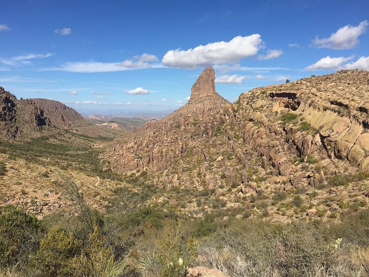
Tonto National Forest (Superstition Wilderness) · Southwest & Sonoran Desert · Arizona
Sonoran saguaro canyon climbing to a breezy volcanic tuff saddle directly facing the 4,555-foot spire of Weavers Needle.
Photo: Andrew Z. Colvin · CC BY-SA 4.0

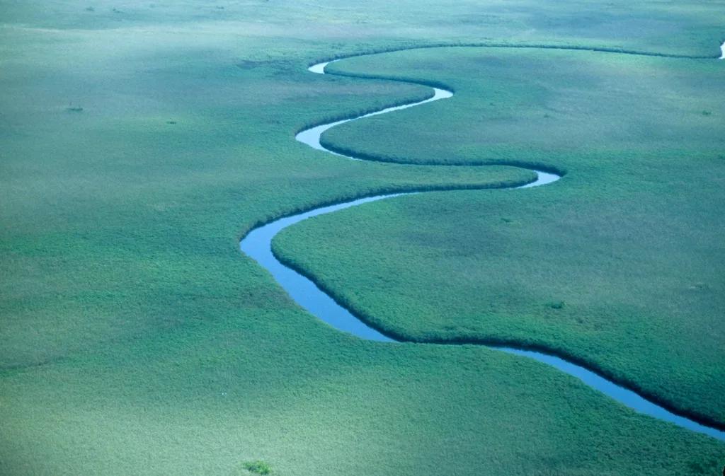
Moremi Game Reserve (Okavango Delta UNESCO) · Africa · Botswana
Vast inland alluvial fan of papyrus lagoons, water-lily channels, and palm islands explored by traditional dugout mokoro and guided bush walks.
Photo: lwh50 · CC BY 2.0

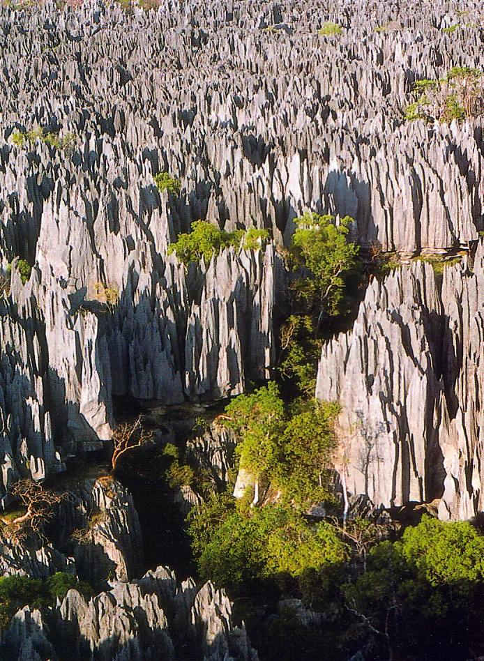
Tsingy de Bemaraha Strict Nature Reserve (UNESCO) · Africa · Madagascar
Cathedral-like forest of razor-sharp 100-meter Jurassic karst limestone pinnacles crossed via narrow caves and cliff-top suspension bridges.
Photo: My father (who approves of its use) · CC BY-SA 3.0

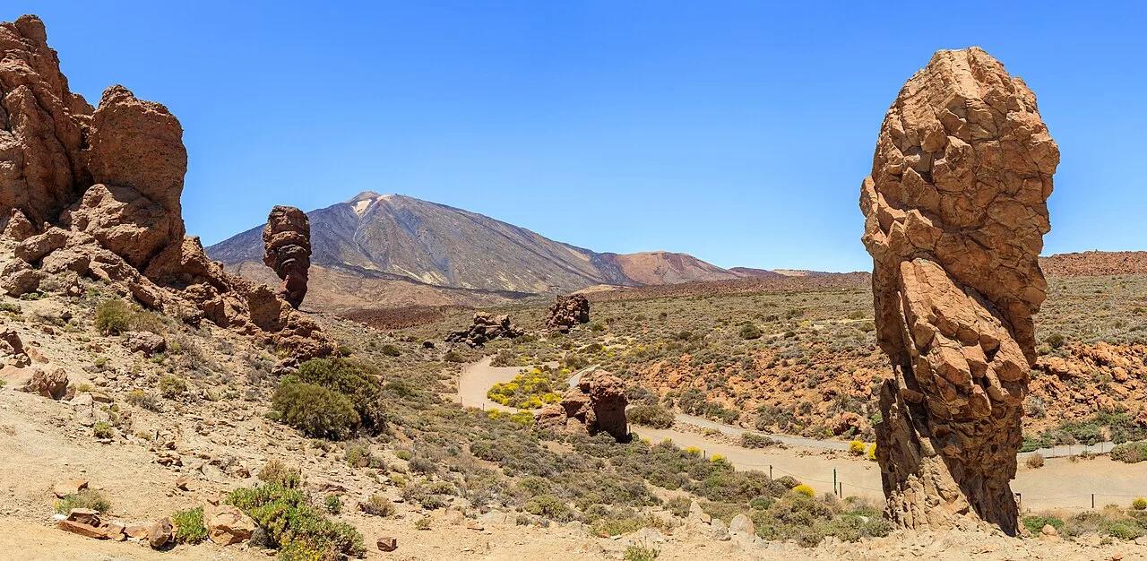
Parque Nacional del Teide (UNESCO World Heritage) · Mediterranean Europe · Spain
Sculptural volcanic phonolite towers (Roque Cinchado) and black lava flows beneath Spain's highest peak, 3,715-meter Mount Teide.
Photo: H. Zell · CC BY-SA 3.0

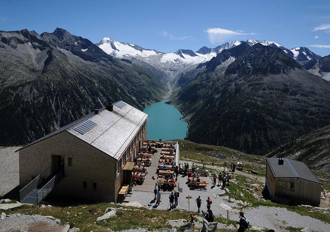
High Alps Nature Park Zillertal · European Alps · Austria
High-alpine suspension footbridge spanning a mountain stream at 2,389 meters with a dramatic vertical backdrop of turquoise Lake Schlegeis.
Photo: böhringer friedrich · CC BY-SA 2.5

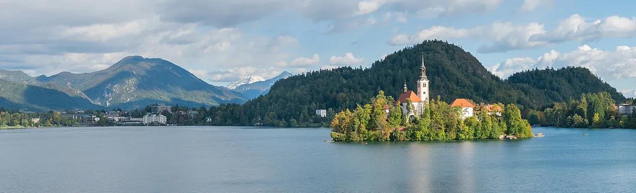
Julian Alps Biosphere Reserve (Bled) · Central Europe · Slovenia
Forest staircase to the 685-meter Mala Osojnica viewpoint overlooking Bled Island church and medieval clifftop castle against the Karawanks.
Photo: Krzysztof Golik · CC BY-SA 4.0

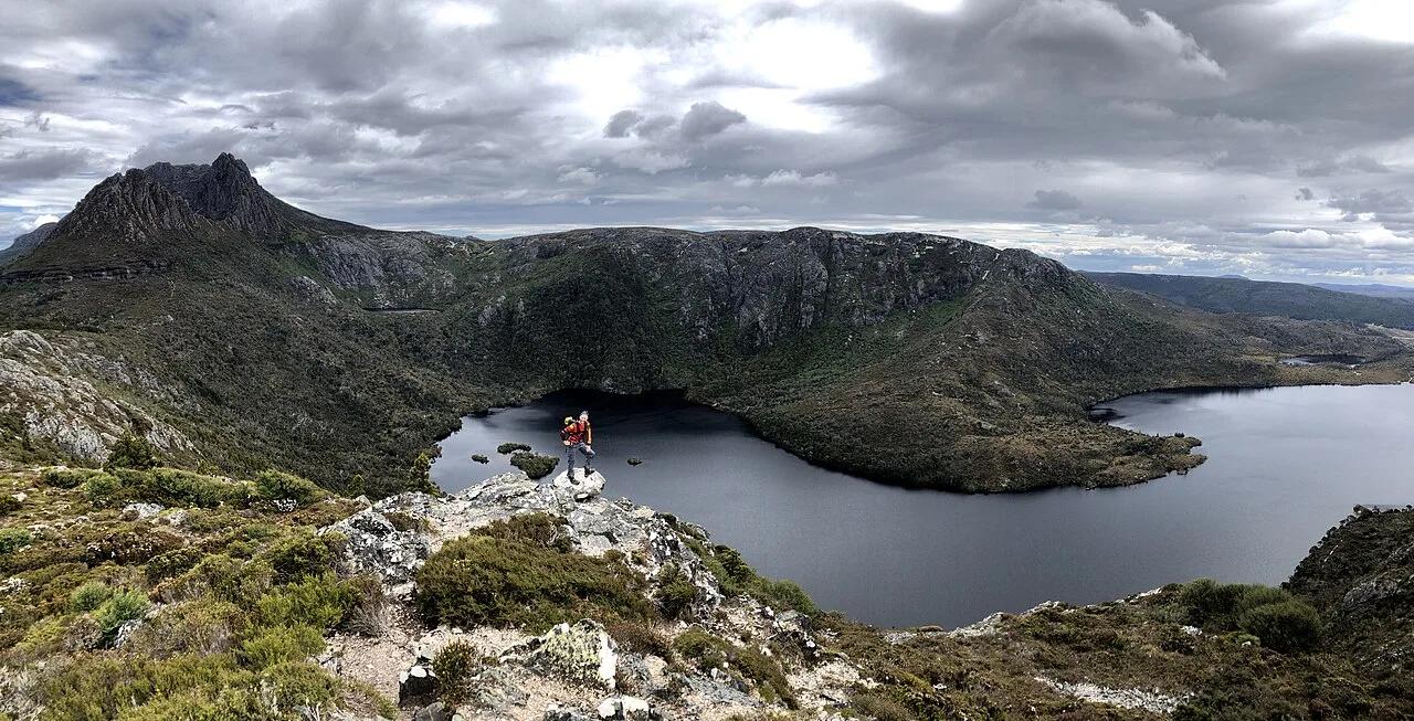
Cradle Mountain-Lake St Clair National Park (UNESCO) · Oceania · Australia
Jagged Jurassic dolerite spires rising above glacially carved Dove Lake, historic Boatshed, and ancient fagus (deciduous beech) rainforest.
Photo: Ovico · CC BY-SA 4.0

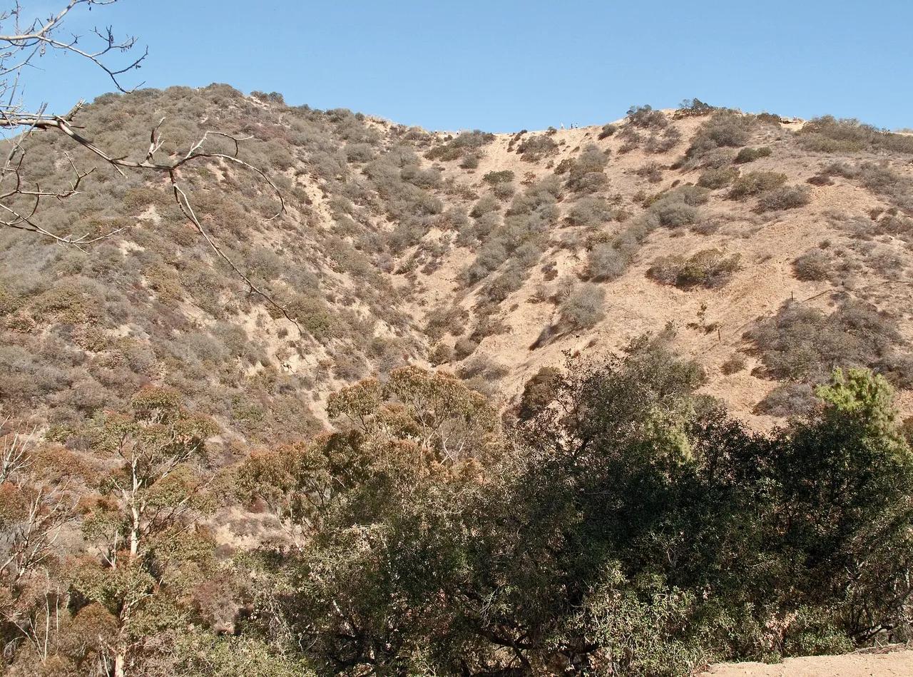
Runyon Canyon Park · Santa Monica Mountains
Park in Runyon Canyon Park (Santa Monica Mountains), about 7 miles northwest of downtown Los Angeles. Typical outing is 2.7 miles with 650 ft of climb. Popular with local hikers and Los Angeles hiking Meetup groups.
Photo: Downtowngal · CC BY-SA 3.0