Waterfall
Blackwater Falls State Park · Appalachian & Blue Ridge · West Virginia
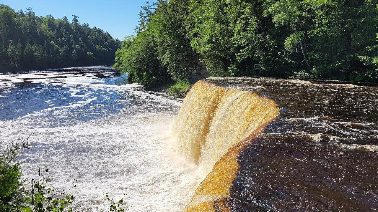
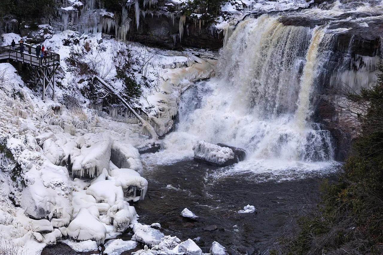
Blackwater Falls
Tannin-stained amber waters of the Blackwater River plunging 57 feet into a rugged Canaan Valley gorge.
- Route
- 0.7 mi
- Climb
- 213 ft
Browse & Discover
Canyon trails, waterfall walks, ridge traverses and high peaks.
1,159 of 2,051 places
Drag to pan. Double-click, pinch or scroll to zoom. Keyboard: arrow keys and +/−. Cards below remain available.
Loading map… Browse the spot cards below at any time.

Joshua Tree National Park
A granite arch in the White Tank monzogranite, reached by a short sandy trail from the Twin Tanks parking area.
John D. from Pasadena, USA · CC BY 2.0. Source & image licence

Joshua Tree National Park
A short desert trail to the historic Barker Dam water-storage structure in Joshua Tree National Park.
Hannah Schwalbe / NPS · Public domain. Source & image licence

Russian Ridge Open Space Preserve
The highest named summit in San Mateo County, an open grassland top on Russian Ridge with views from the ocean to the Bay.
Justin Dolske from Cupertino, USA · CC BY-SA 2.0. Source & image licence

Eaton Canyon Natural Area
The waterfall at the head of lower Eaton Canyon, reached by a wide wash walk from the Eaton Canyon Nature Center and a final creekside scramble.
[scott.medling or en:user:scott.medling user:scott.medling from California, United States] · CC BY-SA 2.0. Source & image licence

Escondido Canyon Park
A multi-tiered waterfall in Escondido Canyon above Malibu. The maintained trail ends at the base of the mossy lower tier.
Santa Monica Mountains National Recreation Area · Public domain. Source & image licence

Mount Tamalpais Watershed
A winter-and-spring cascade on Cataract Creek just below the Laurel Dell picnic area, reached downhill along the Cataract Trail from Rock Spring.
Richard Wood · CC BY-SA 3.0. Source & image licence

Joshua Tree National Park
One of the best-preserved stamp mills in Joshua Tree National Park, at the site of the Lost Horse gold mine.
Joseph from Cabin On The Road, USA · CC BY-SA 2.0. Source & image licence

Angeles National Forest
A waterfall of about fifty feet filling the head of a narrow, shaded canyon, a short walk upstream from Millard Campground.
Region 5 Photography · Public domain. Source & image licence

Mount Tamalpais State Park
The summit of Mount Tamalpais, a short plank-and-rock climb from the East Peak visitor area to the fire lookout above the whole Bay Area.
Chris Koerner from St. Louis, USA · CC BY-SA 2.0. Source & image licence

Inyo National Forest
A quiet lake in the Ansel Adams Wilderness beneath Parker Peak, reached through sage and an aspen-lined creek canyon off the June Lake Loop.
Mark Gunn from Novato, California, USA · CC BY 2.0. Source & image licence

Pfeiffer Big Sur State Park
A 60-foot waterfall on Pfeiffer-Redwood Creek, reached through the redwoods of Pfeiffer Big Sur State Park on a trail twice rebuilt — after the 2008 Basin Complex Fire and again after 2023 storm damage.
Joe Mabel · CC BY-SA 4.0. Source & image licence

Santa Monica Mountains National Recreation Area
The highest point in the Santa Monica Mountains, climbed from the Mishe Mokwa trailhead along the Backbone Trail at Circle X Ranch.
Wasquewhat · CC BY-SA 4.0. Source & image licence

Angeles National Forest
A 50-foot single drop into a shallow plunge pool, 1.7 mi up Big Santa Anita Canyon. Shaded the entire way in. The work is all on the walk out.
U.S. Department of Agriculture / USDA USFS · CC BY 2.0. Source & image licence

Santa Monica Mountains National Recreation Area
The ruins of the Roberts family ranch house at the end of the canyon-floor trail in Solstice Canyon, beside a small seasonal waterfall.
George Heras / Santa Monica Mountains National Recreation Area · Public domain. Source & image licence

Pfeiffer Big Sur State Park
An overlook above the Big Sur River valley, looking north over the redwoods toward Point Sur and the Pacific.
King of Hearts · CC BY-SA 3.0. Source & image licence
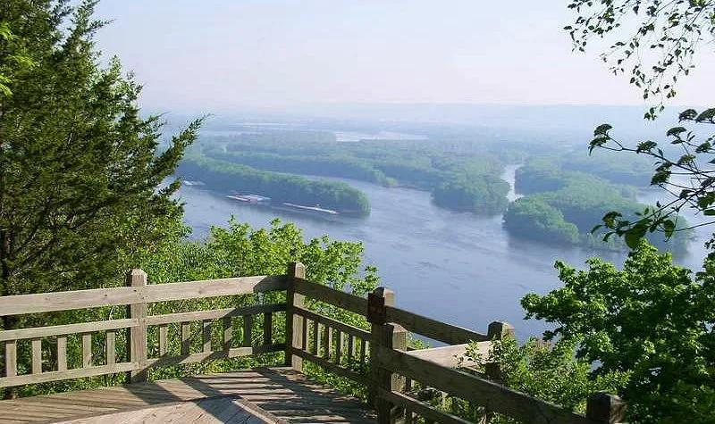
Pikes Peak State Park (McGregor) · Driftless Area · Iowa
Soaring 500-foot dolomite bluff delivering magnificent panoramas of the Wisconsin and Mississippi River confluence, paired with Bridal Veil Falls boardwalk.
Photo: McGhiever · CC BY-SA 3.0
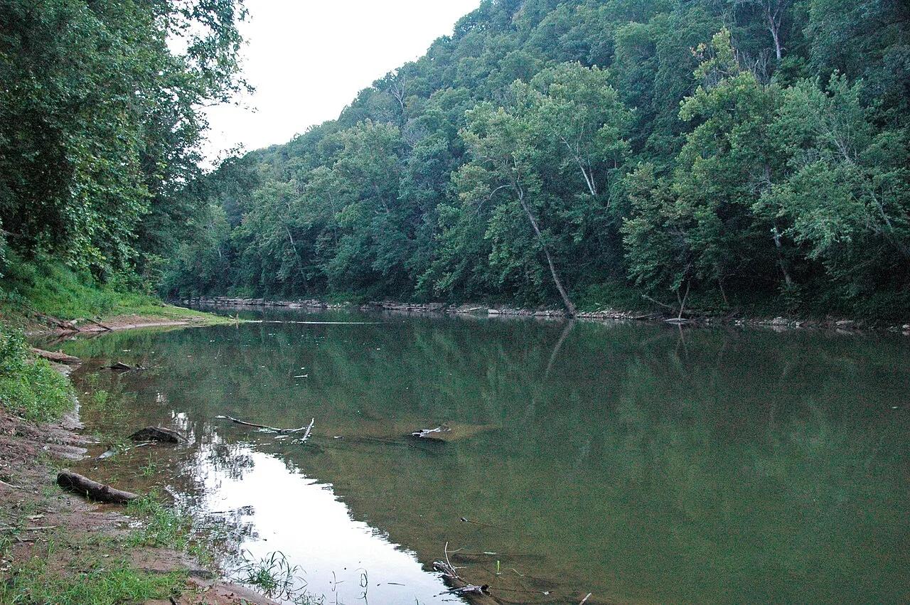
Mammoth Cave National Park · Appalachian & Blue Ridge · Kentucky
300-foot-deep collapsed karst sinkhole where an underground river surfaces briefly between limestone cliffs before vanishing back into the earth.
Photo: James St. John · CC BY 2.0
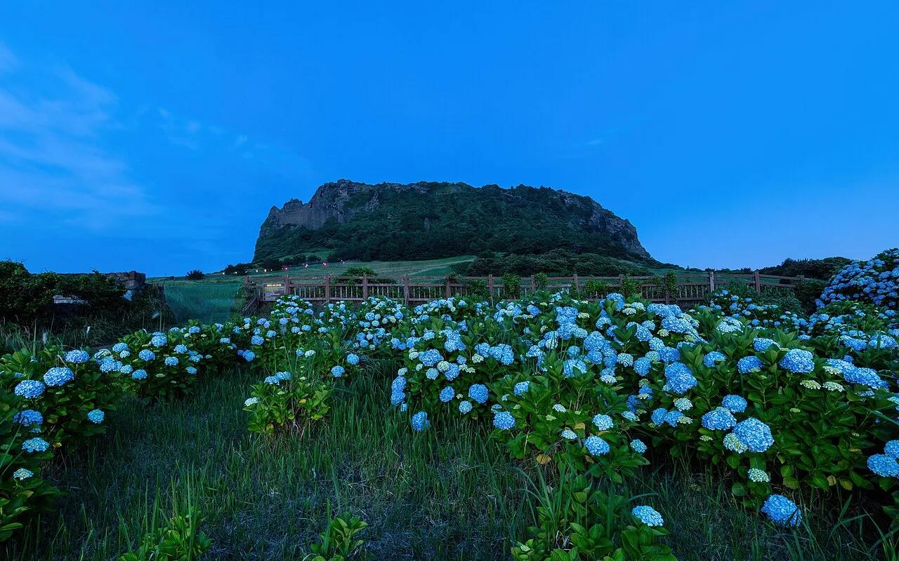
Jeju Volcanic Island and Lava Tubes UNESCO Site · East Asia · South Korea
5,000-year-old hydrovolcanic tuff crater rising like a fortress crown from the turquoise East China Sea along the Jeju Olle Trail.
Photo: Basile Morin · CC BY-SA 4.0
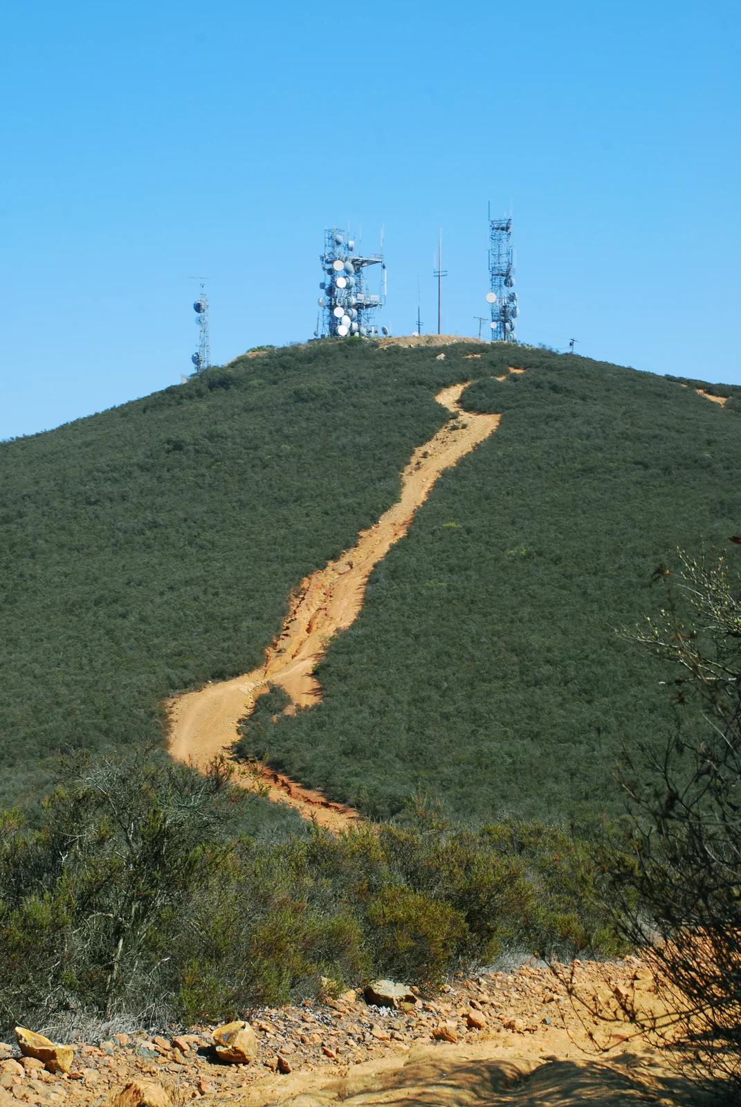
San Diego Coast & Mountains
Verified California peak at 1,558 ft in San Diego Coast & Mountains.
Photo: Lisa Brewster from San Francisco, USA · CC BY-SA 2.0
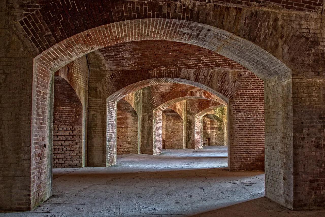
Gulf Islands National Seashore (11 Miles Offshore Gulfport) · Atlantic & Gulf Coasts · Mississippi
Undeveloped barrier island of white quartz dunes, emerald Gulf of Mexico swimming beaches, and an 1860s brick coastal fort.
Photo: Reweaver33 · CC BY-SA 4.0
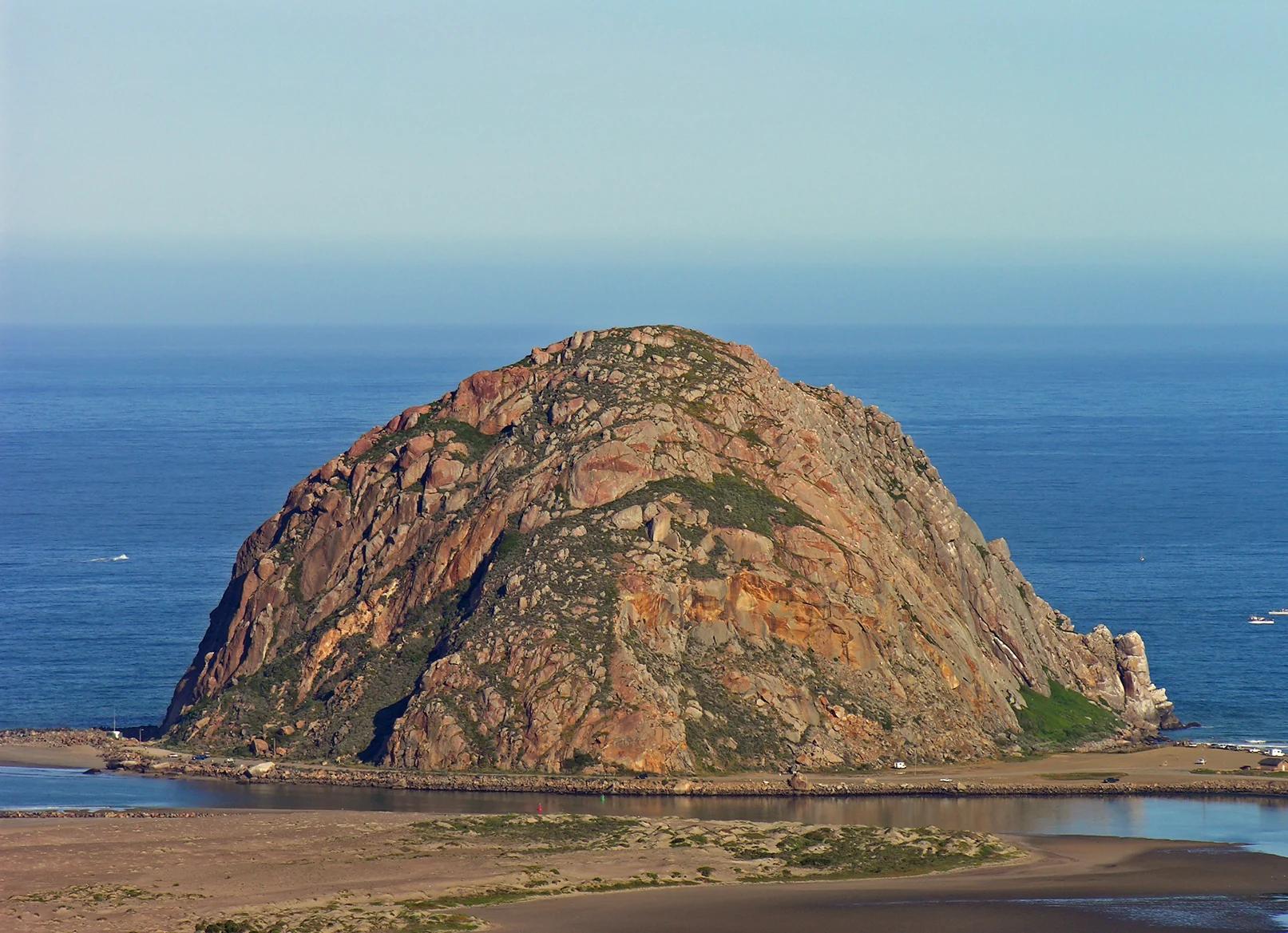
Central Coast
Verified California peak at 581 ft in Central Coast.
Photo: No machine-readable author provided. Kjkolb assumed (based on copyright claims). · CC BY 2.5
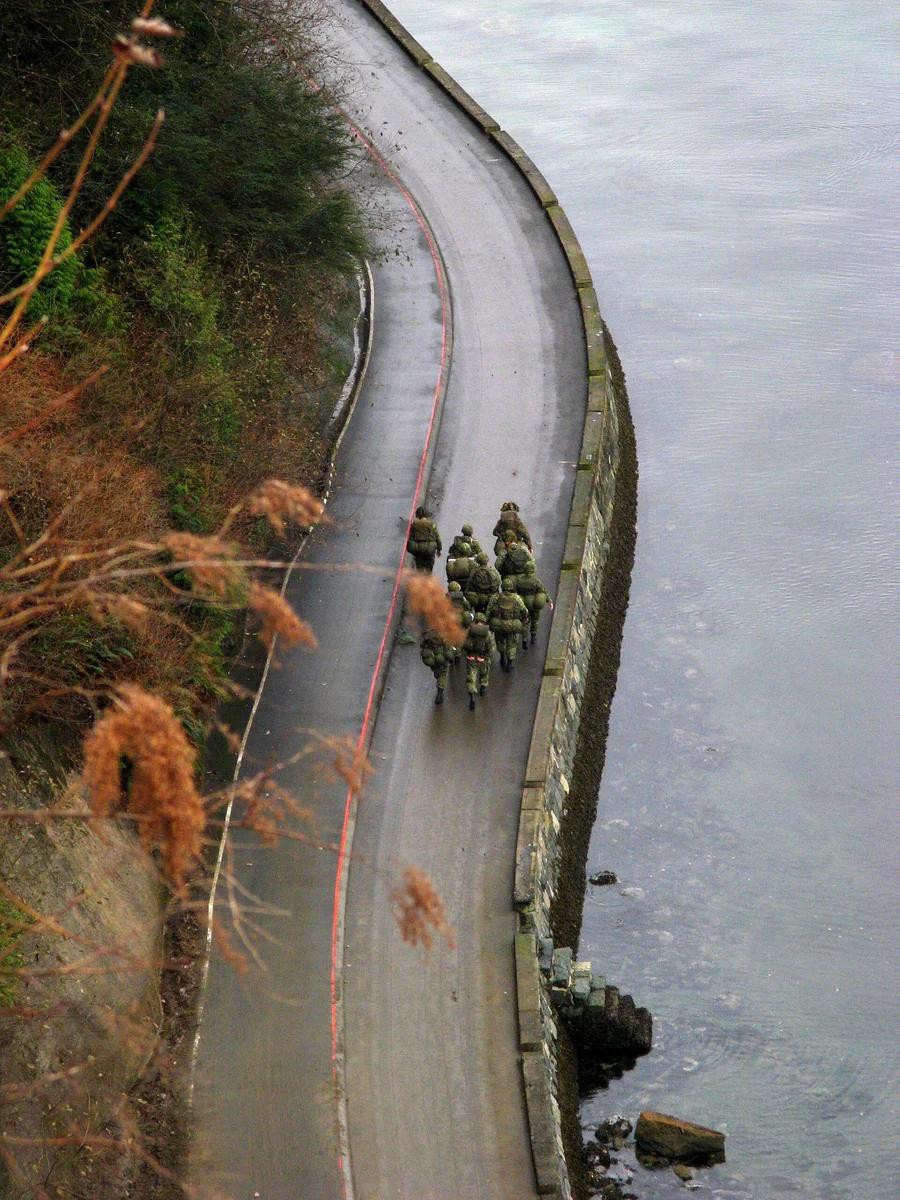
Stanley Park · Canadian Rockies & British Columbia · Canada
The world's longest uninterrupted waterfront path hugging temperate coastal rainforest, Lion's Gate Bridge, and Burrard Inlet.
Photo: No machine-readable author provided. Bobanny assumed (based on copyright claims). · Public domain
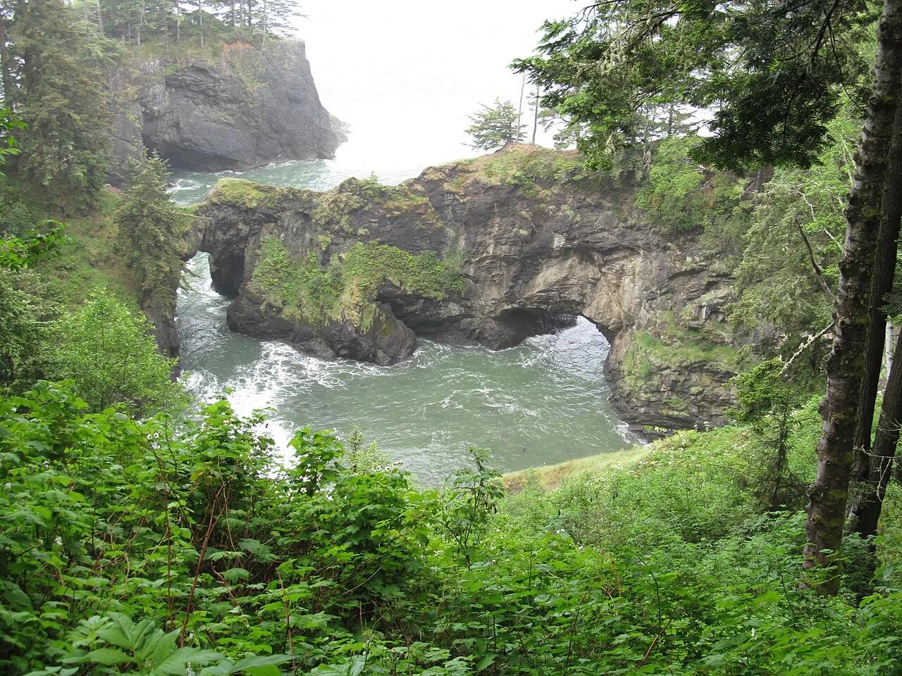
Samuel H. Boardman State Scenic Corridor (Brookings) · Pacific Northwest · Oregon
Twin Sitka-spruce-crowned sea arches spanning an emerald Pacific blowhole cove along Oregon's rugged southern coast.
Photo: Dougtone · CC BY-SA 2.0
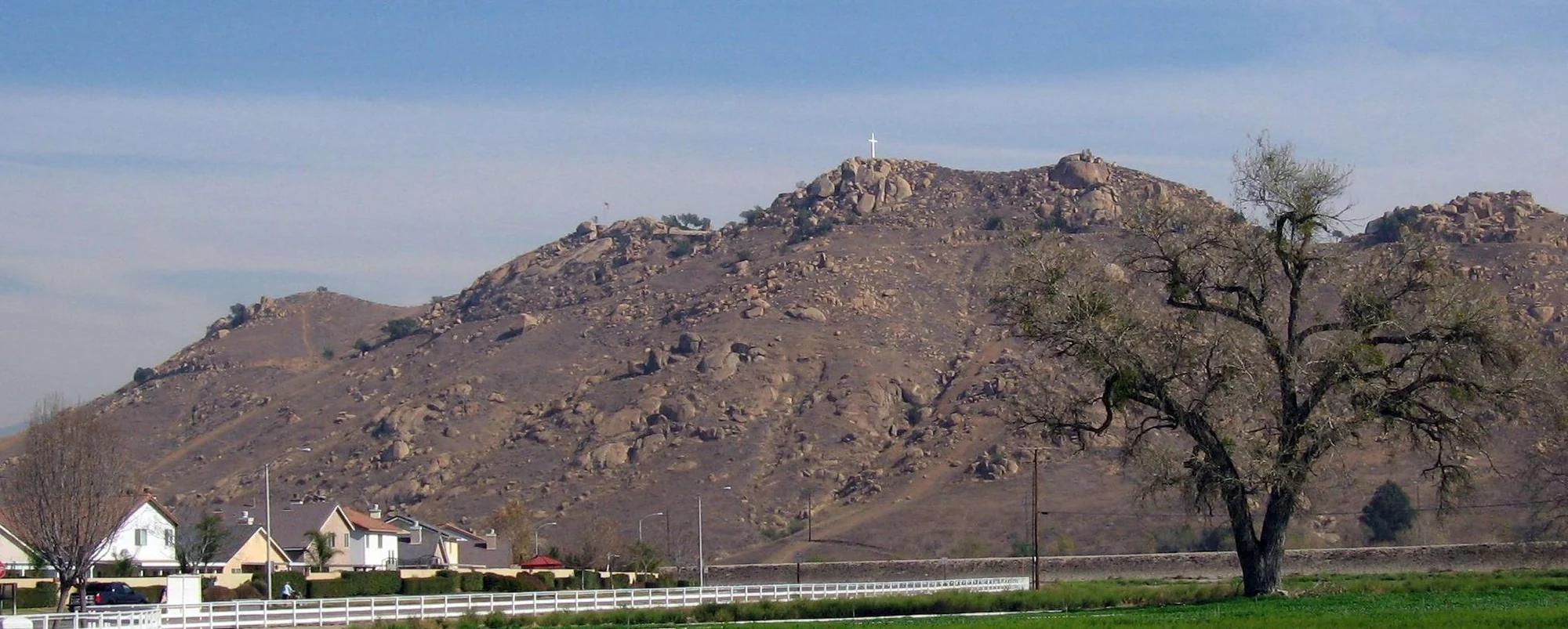
Southern California Mountains
Verified California peak at 1,329 ft in Southern California Mountains.
Photo: No machine-readable author provided. Takwish assumed (based on copyright claims). · CC BY-SA 2.5
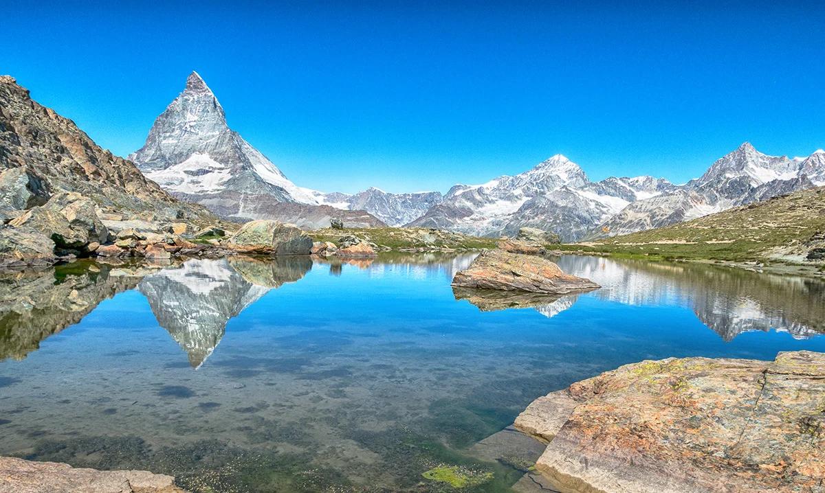
Zermatt-Matterhorn Alpine Reserve · European Alps (France & Switzerland) · Switzerland
Still alpine pool famed for its flawless mirror reflection of the Matterhorn's East and North faces along the Gornergrat ridge.
Photo: Axel Ebert · CC BY-SA 4.0
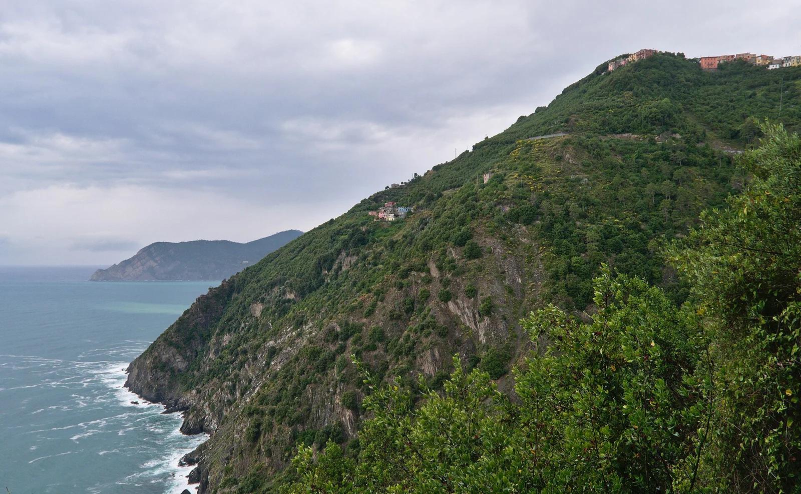
Cinque Terre National Park · Mediterranean & Iberia · Italy
Centuries-old mule track linking five vibrant cliffside fishing villages through terraced olive groves and fragrant Mediterranean maquis over the Ligurian Sea.
Photo: СССР · CC BY-SA 2.5
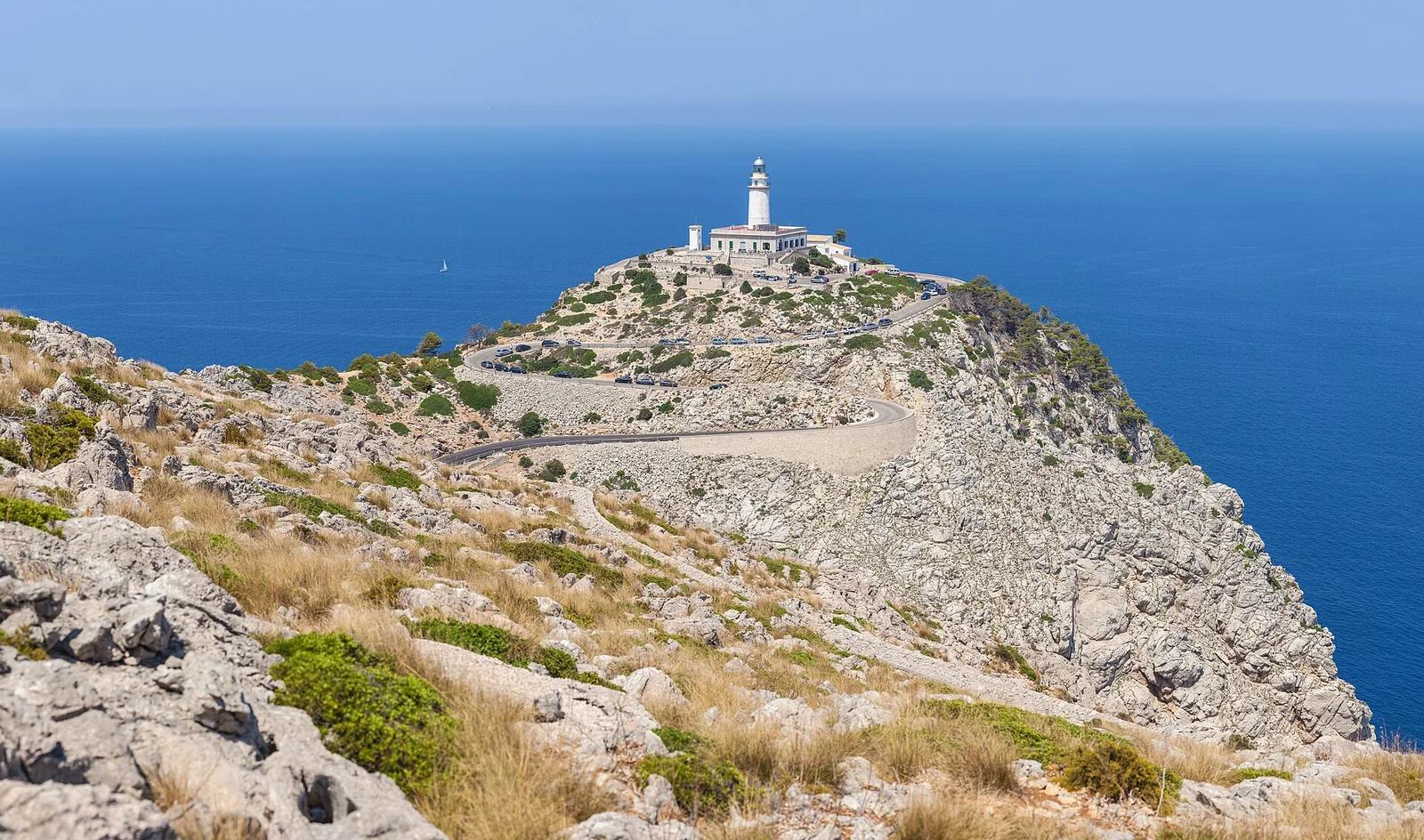
Serra de Tramuntana UNESCO World Heritage · Mediterranean & Iberia · Spain
One of the Mediterranean's premier road cycling roads, twisting along precipitous limestone capes from Port de Pollença out to the isolated lighthouse.
Photo: Thomas Wolf, www.foto-tw.de · CC BY-SA 3.0
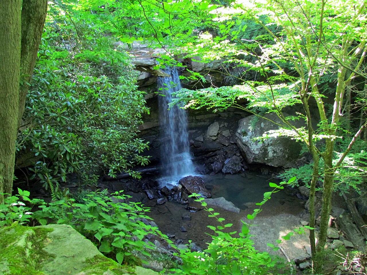
Ohiopyle State Park (Laurel Highlands) · Northeast & New England · Pennsylvania
30-foot bridal-veil waterfall you can walk behind, alongside Youghiogheny River whitewater and the Great Allegheny Passage bike trail.
Photo: bobistraveling · CC BY 2.0