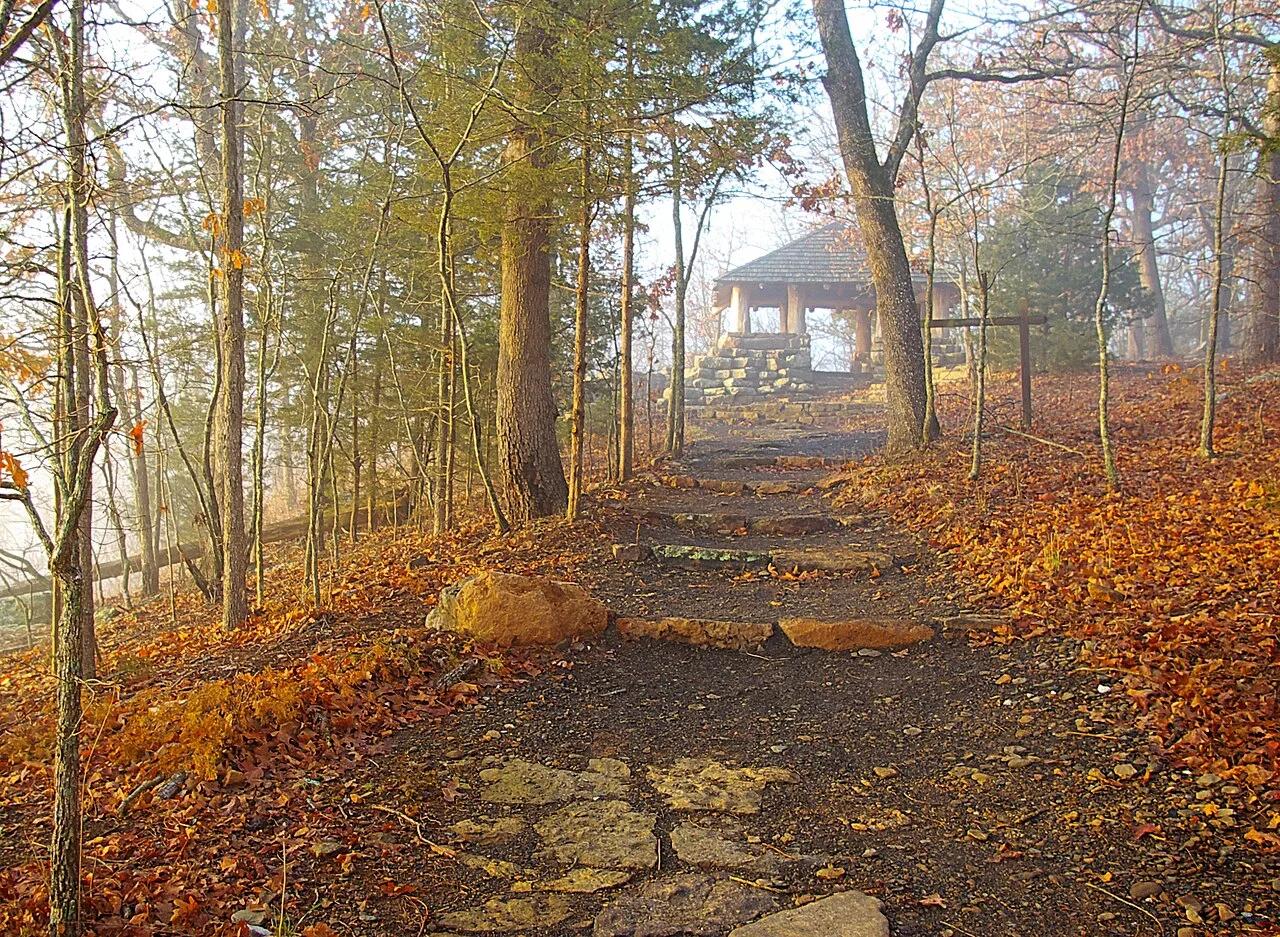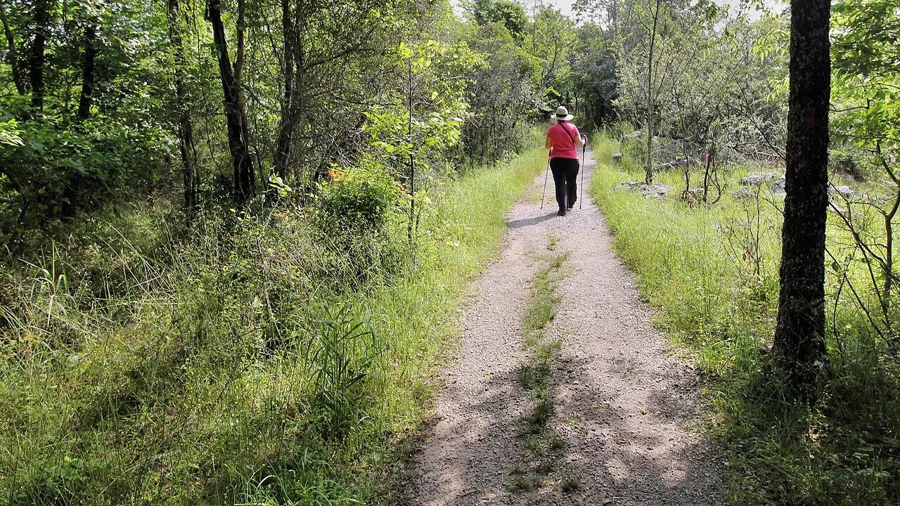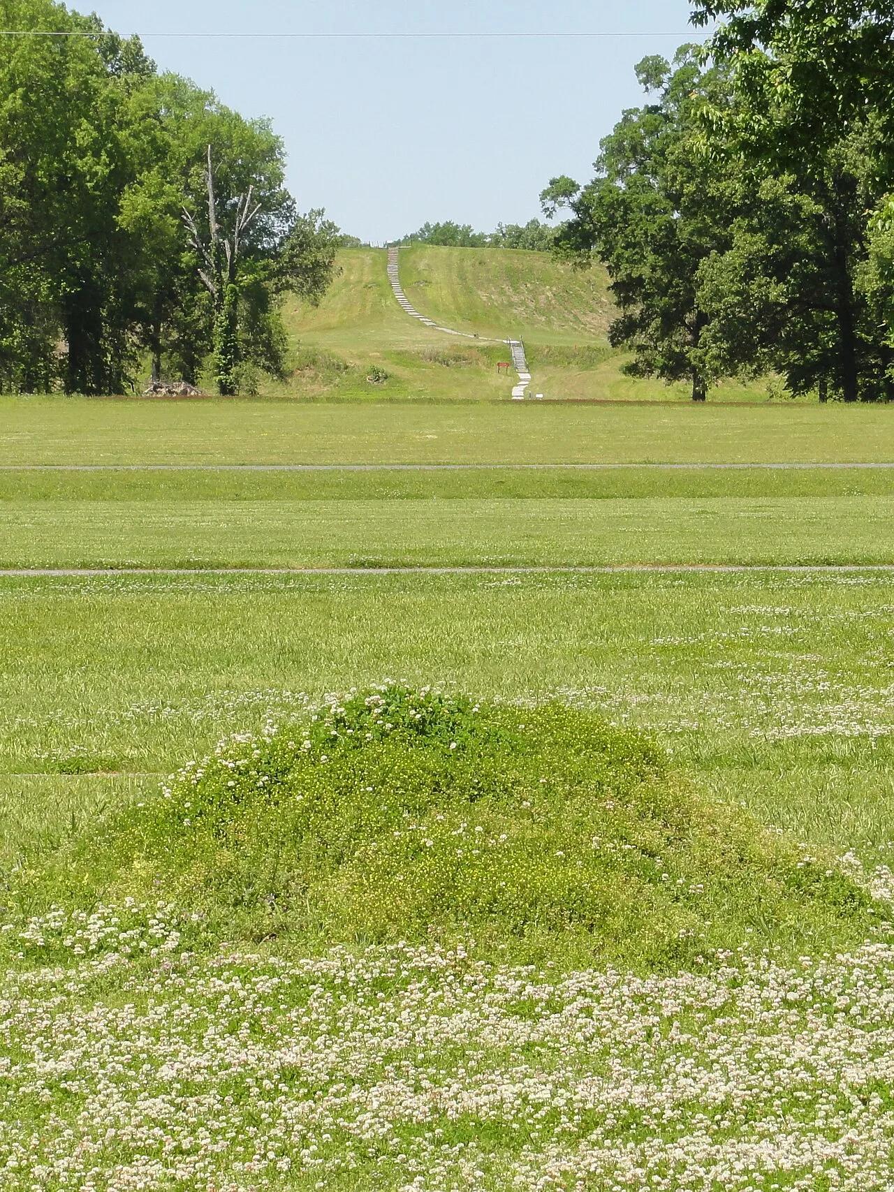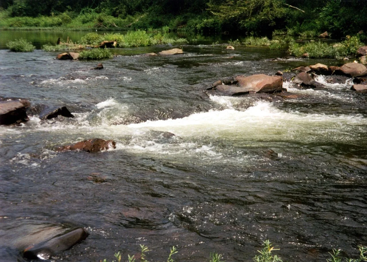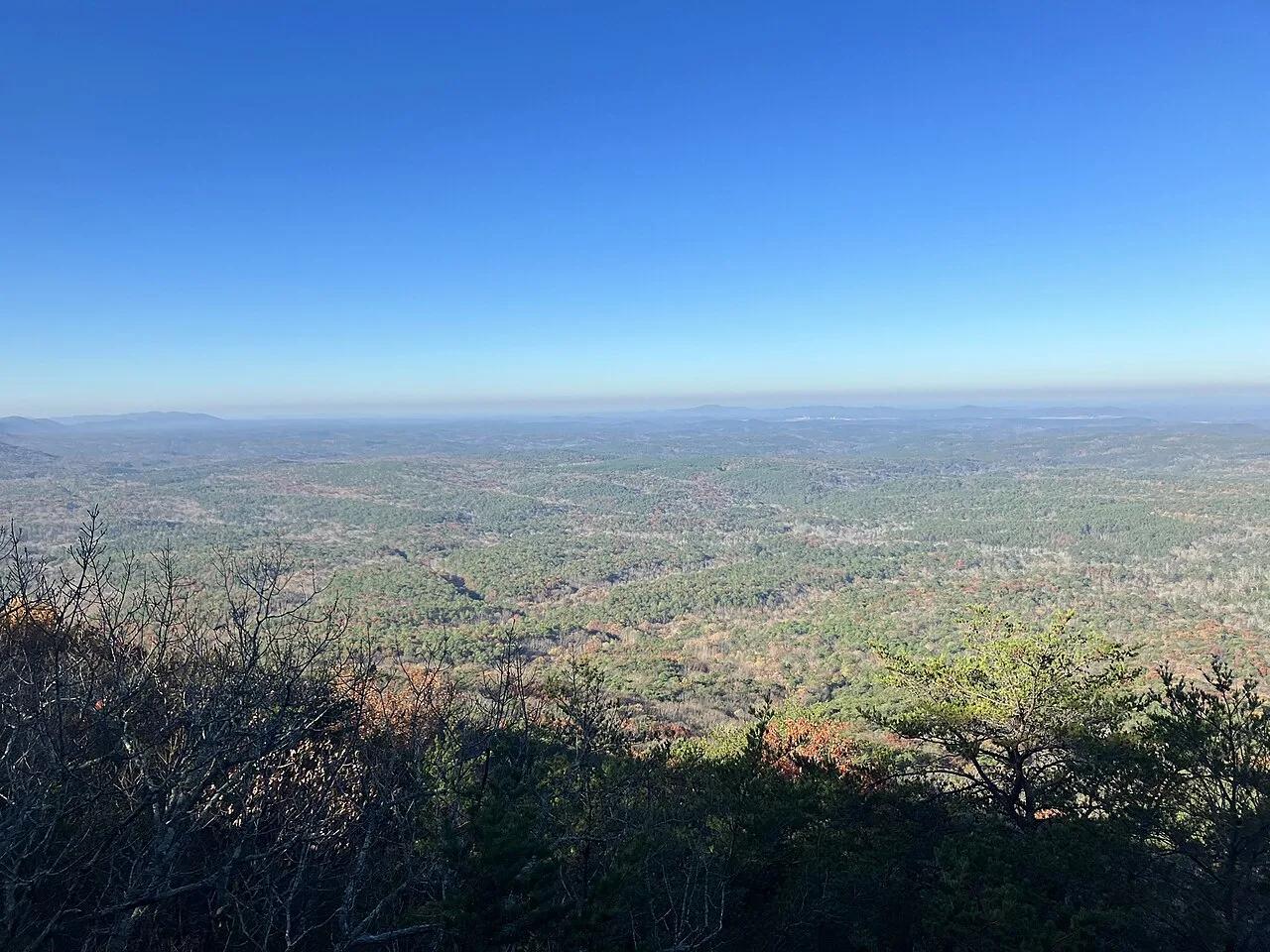
Cheaha State Park / Talladega National Forest · South & Gulf Coast · Alabama
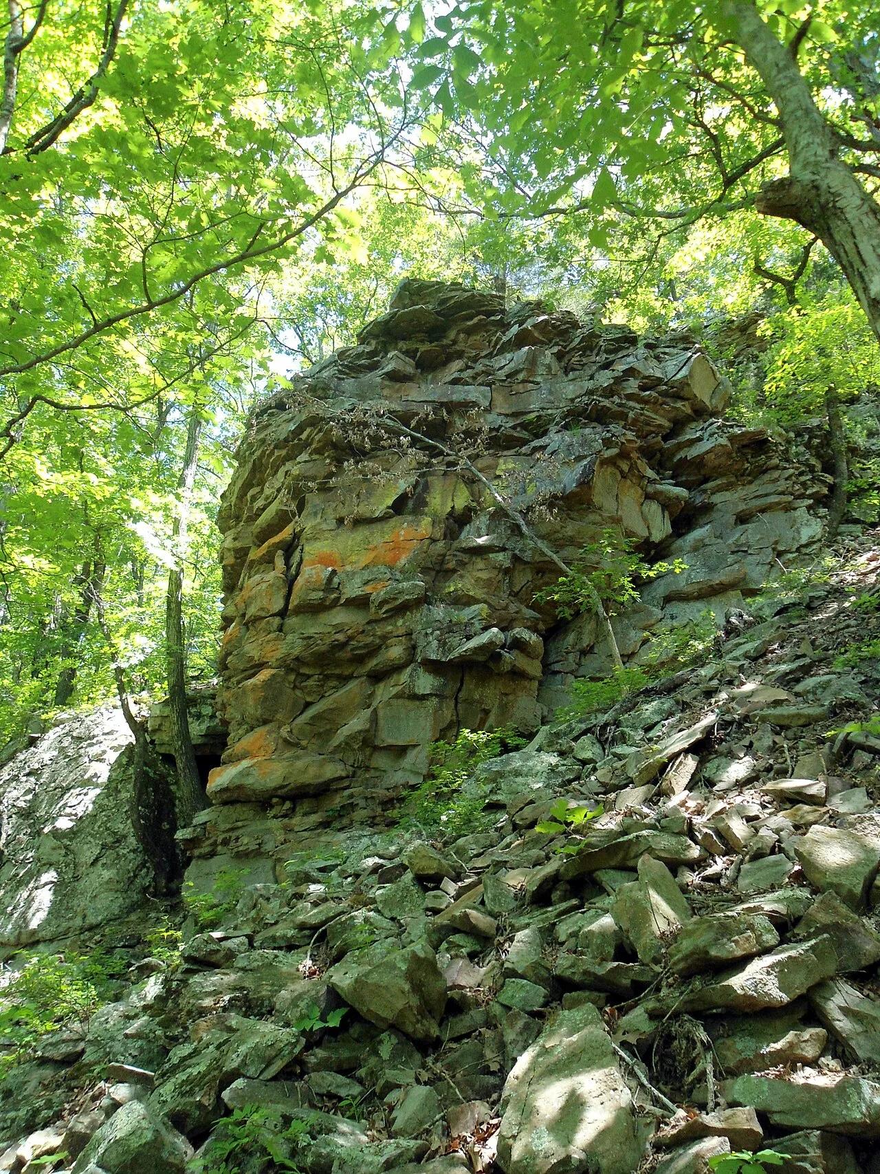
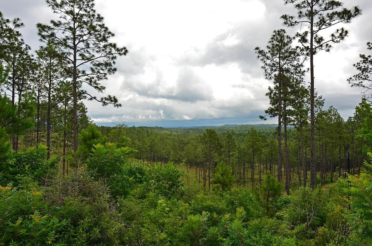
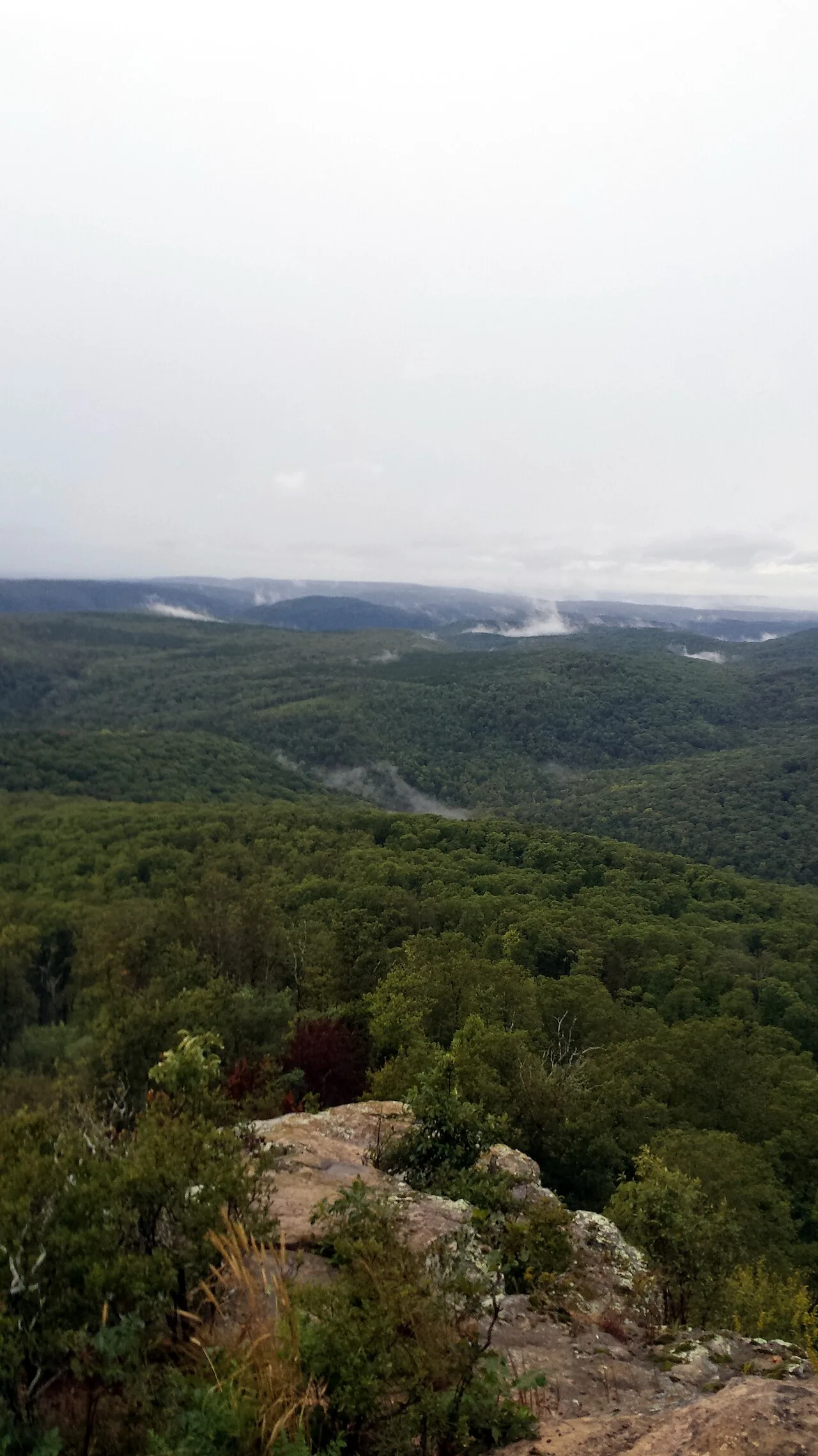
Mount Cheaha & Pulpit Rock Overlook
The highest point in Alabama—quartzite cliff ledges looking out across the unbroken Talladega National Forest.
- Route
- 1.4 mi
- Climb
- 213 ft
Browse & Discover
Canyon trails, waterfall walks, ridge traverses and high peaks.
26 of 2,051 places
Drag to pan. Double-click, pinch or scroll to zoom. Keyboard: arrow keys and +/−. Cards below remain available.
Loading map… Browse the spot cards below at any time.

Ozark-St. Francis National Forest · South & Gulf Coast · Arkansas
Iconic beak-shaped sandstone prow jutting 100 feet out over the forested Upper Buffalo Wilderness of the Ozark Mountains.
Photo: Tony Webster from Minneapolis, Minnesota, United States · CC BY-SA 2.0

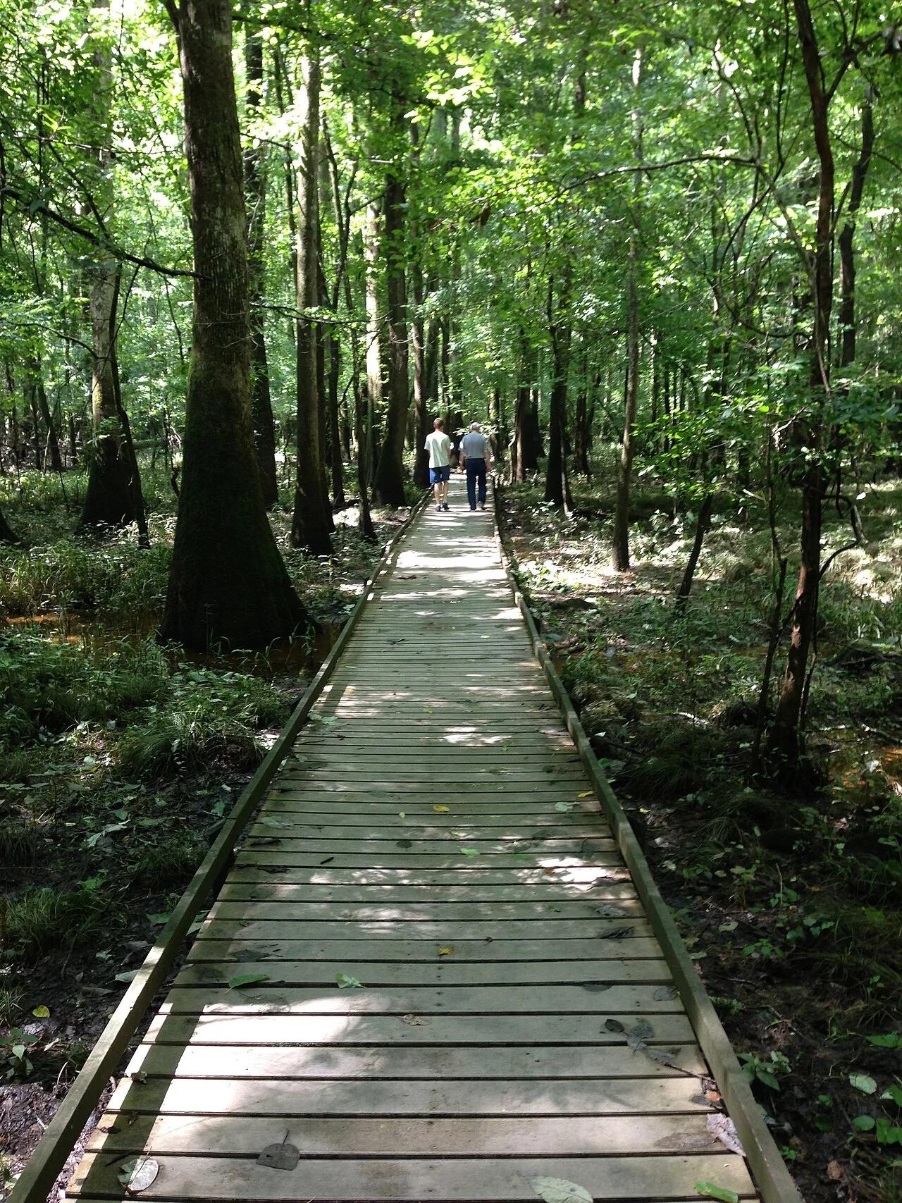
Jean Lafitte National Historical Park and Preserve · South & Gulf Coast · Louisiana
Cypress-tupelo swamp boardwalks and bayou paddling trails teeming with alligators, ibis, and Spanish moss just south of New Orleans.
Photo: Bart Everson · CC BY 2.0

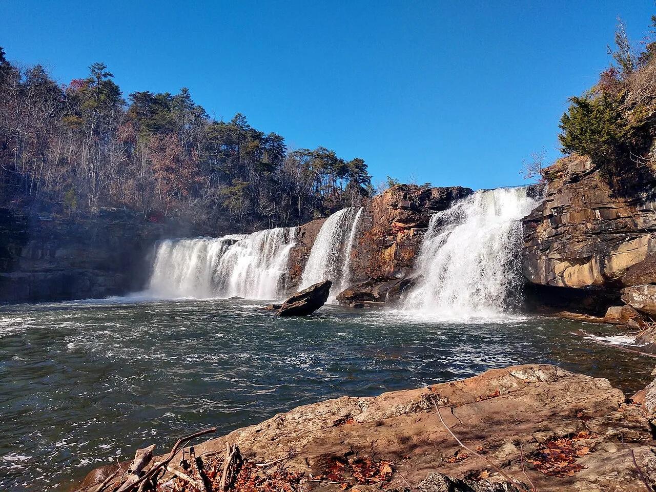
Beavers Bend State Park (Ouachita Mountains) · South & Gulf Coast · Oklahoma
Clear turquoise stair-stepped trout and kayak river winding beneath bald cypress and Ouachita pine ridges.
Photo: U.S. Department of Agriculture Lance Cheung/Photographer/USDA photo by Lance ... · Public domain

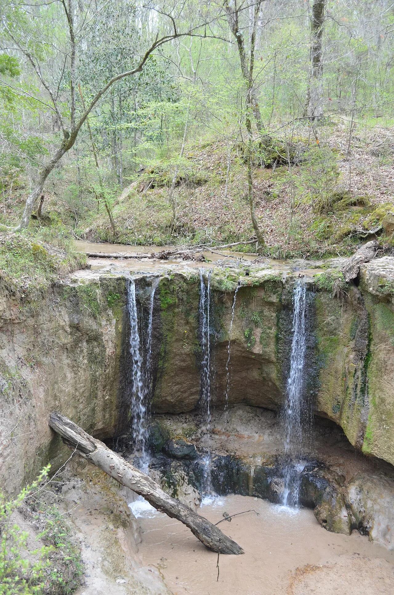
Clark Creek Natural Area (Pond / Woodville) · South & Gulf Coast · Mississippi
Over 50 waterfalls from 10 to 30 feet high tucked inside steep beech-magnolia loess bluff canyons bordering the Mississippi River floodplain.
Photo: Mac H. Alford · CC BY-SA 4.0

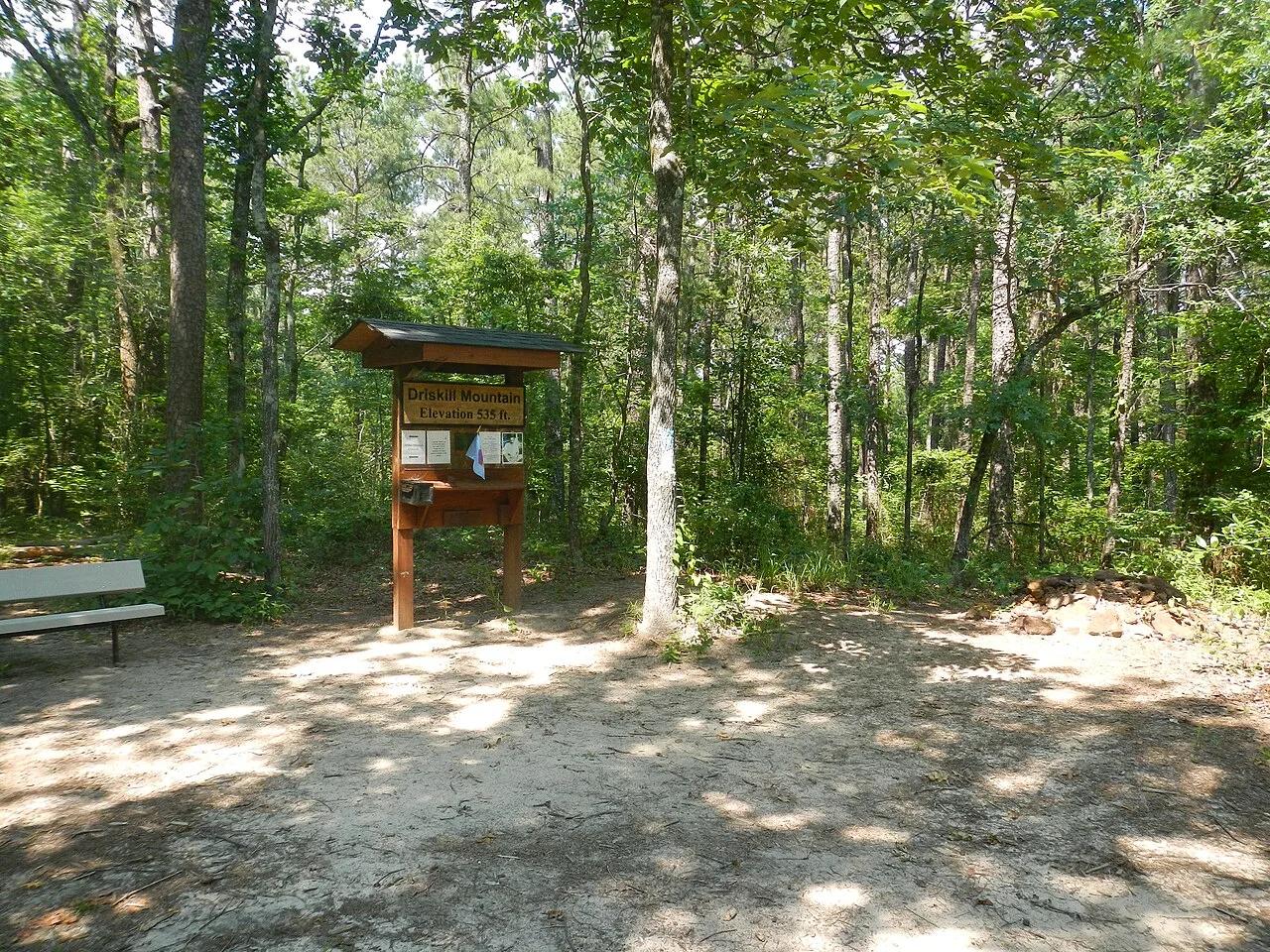
Bienville Parish Rolling Hills (Bryceland) · South & Gulf Coast · Louisiana
Highest natural elevation in Louisiana (535 ft)—a wooded Eocene ferricrete sandstone ridge ablaze with wild native azaleas in spring.
Photo: Fredlyfish4 · CC BY-SA 3.0

Pinnacle Mountain State Park (Little Rock) · South & Gulf Coast · Arkansas
Steep Jackfork Sandstone boulder cone rising 1,011 feet directly above the Arkansas River and Lake Maumelle, accompanied by Monument Trails mountain biking.
Photo: Jason Ronza · CC BY-SA 4.0

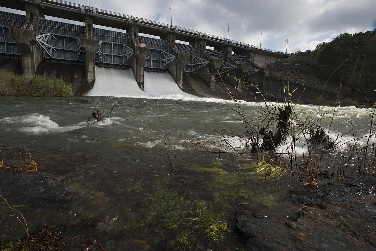
Cossatot River State Park-Natural Area (Ouachita Mountains) · South & Gulf Coast · Arkansas
Upturned vertical slabs of Arkansas novaculite creating six consecutive Class IV ledges and crystal-clear turquoise bedrock swimming pools.
Photo: Jamie Camp, U.S. Army Corps of Engineers · Public domain

Ozark-St. Francis National Forest · South & Gulf Coast · Arkansas
2,300-foot flat-topped sandstone mesa ringed by sheer 200-foot bluffs and historic 1930s CCC stone cabins at the western terminus of the Ozark Highlands Trail.
Photo: Brandonrush · CC BY-SA 3.0

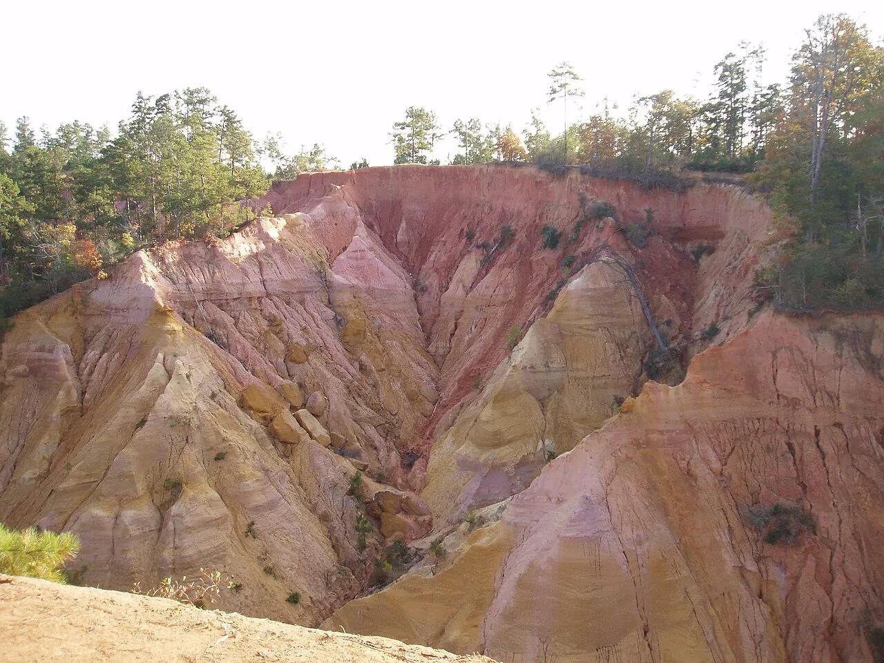
Bogue Chitto State Park (Franklinton) · South & Gulf Coast · Louisiana
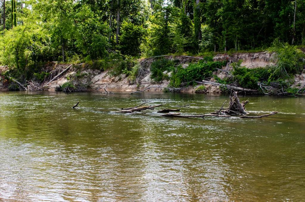
Eroded sandstone spires resembling miniature badlands tucked inside a bamboo and hardwood ravine beside the Bogue Chitto River.
Photo: mcandrus · CC BY 2.0

Mount Magazine State Park (Ozark-St. Francis NF) · South & Gulf Coast · Arkansas
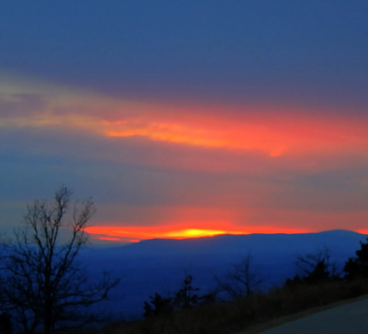
Highest point in Arkansas (2,753 ft) crowned by sheer sandstone hang-gliding cliffs overlooking the Petit Jean River Valley.
Photo: Yinan Chen · Public domain

Ozark-St. Francis National Forest (Fifty-Six) · South & Gulf Coast · Arkansas
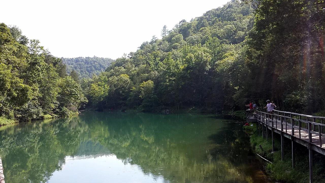
Turquoise spring emerging from a living limestone cavern and cascading over a historic 1930s CCC stone mill dam into trout-filled Mirror Lake.
Photo: Brandonrush · CC BY-SA 4.0