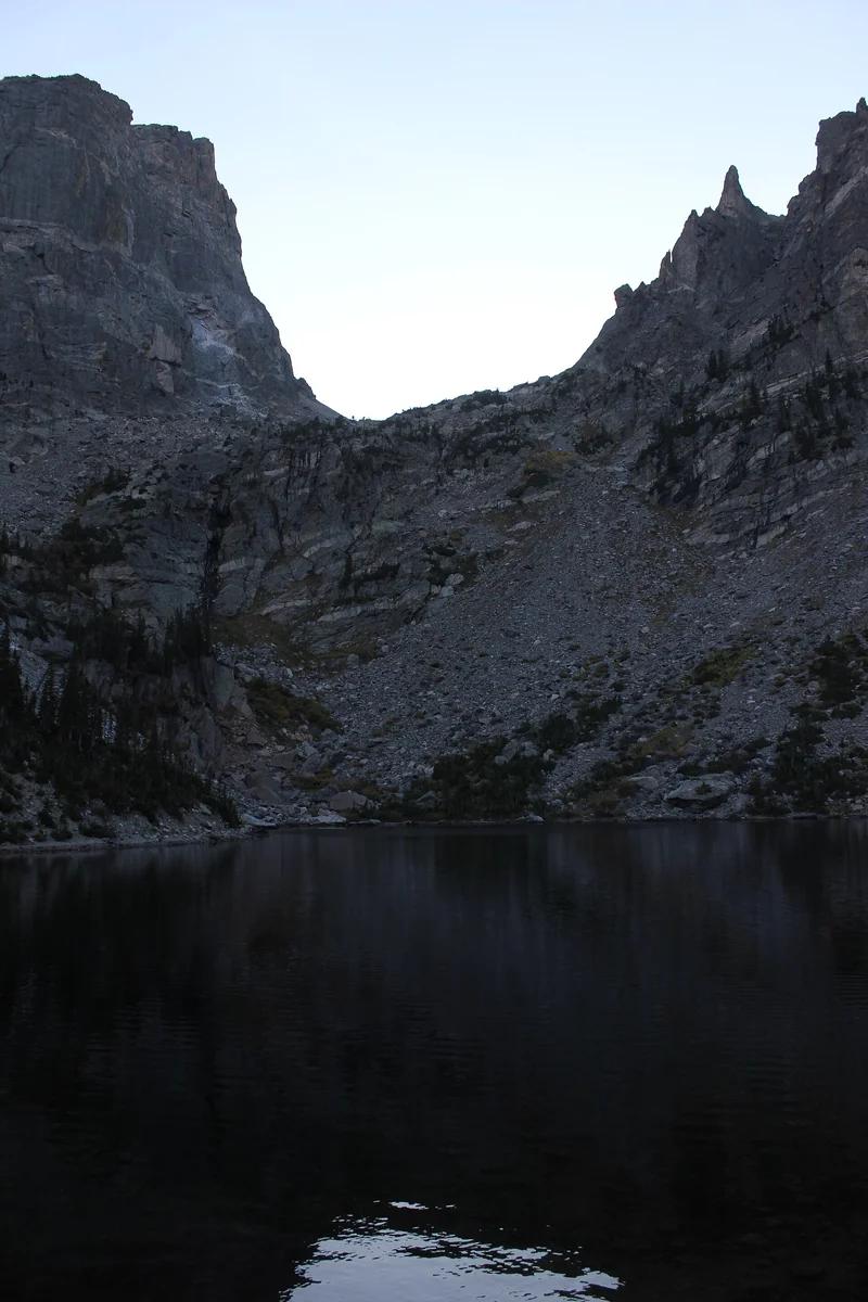
Rocky Mountain National Park · Colorado & Rocky Mountains · Colorado
Emerald Lake Trail
A quintessential subalpine lake trail in Tyndall Gorge, visiting Nymph, Dream, and Emerald Lakes beneath Hallett Peak.
- Route
- 3.2 mi
- Climb
- 705 ft
Browse & Discover
Filter by activity, state, region, dog policy, or route effort — or use the interactive map below to find waterfalls, trails, beaches, bikeways, skateparks, and campgrounds near any location.
1,226 of 2,051 places
Drag to pan. Double-click, pinch or scroll to zoom. Keyboard: arrow keys and +/−. Cards below remain available.
Loading map… Browse the spot cards below at any time.

Joshua Tree National Park
A granite arch in the White Tank monzogranite, reached by a short sandy trail from the Twin Tanks parking area.
John D. from Pasadena, USA · CC BY 2.0. Source & image licence

Joshua Tree National Park
A short desert trail to the historic Barker Dam water-storage structure in Joshua Tree National Park.
Hannah Schwalbe / NPS · Public domain. Source & image licence

Russian Ridge Open Space Preserve
The highest named summit in San Mateo County, an open grassland top on Russian Ridge with views from the ocean to the Bay.
Justin Dolske from Cupertino, USA · CC BY-SA 2.0. Source & image licence

Eaton Canyon Natural Area
The waterfall at the head of lower Eaton Canyon, reached by a wide wash walk from the Eaton Canyon Nature Center and a final creekside scramble.
[scott.medling or en:user:scott.medling user:scott.medling from California, United States] · CC BY-SA 2.0. Source & image licence

Escondido Canyon Park
A multi-tiered waterfall in Escondido Canyon above Malibu. The maintained trail ends at the base of the mossy lower tier.
Santa Monica Mountains National Recreation Area · Public domain. Source & image licence

Mount Tamalpais Watershed
A winter-and-spring cascade on Cataract Creek just below the Laurel Dell picnic area, reached downhill along the Cataract Trail from Rock Spring.
Richard Wood · CC BY-SA 3.0. Source & image licence

Joshua Tree National Park
One of the best-preserved stamp mills in Joshua Tree National Park, at the site of the Lost Horse gold mine.
Joseph from Cabin On The Road, USA · CC BY-SA 2.0. Source & image licence

Angeles National Forest
A waterfall of about fifty feet filling the head of a narrow, shaded canyon, a short walk upstream from Millard Campground.
Region 5 Photography · Public domain. Source & image licence

Mount Tamalpais State Park
The summit of Mount Tamalpais, a short plank-and-rock climb from the East Peak visitor area to the fire lookout above the whole Bay Area.
Chris Koerner from St. Louis, USA · CC BY-SA 2.0. Source & image licence

Inyo National Forest
A quiet lake in the Ansel Adams Wilderness beneath Parker Peak, reached through sage and an aspen-lined creek canyon off the June Lake Loop.
Mark Gunn from Novato, California, USA · CC BY 2.0. Source & image licence

Pfeiffer Big Sur State Park
A 60-foot waterfall on Pfeiffer-Redwood Creek, reached through the redwoods of Pfeiffer Big Sur State Park on a trail twice rebuilt — after the 2008 Basin Complex Fire and again after 2023 storm damage.
Joe Mabel · CC BY-SA 4.0. Source & image licence

Santa Monica Mountains National Recreation Area
The highest point in the Santa Monica Mountains, climbed from the Mishe Mokwa trailhead along the Backbone Trail at Circle X Ranch.
Wasquewhat · CC BY-SA 4.0. Source & image licence

Angeles National Forest
A 50-foot single drop into a shallow plunge pool, 1.7 mi up Big Santa Anita Canyon. Shaded the entire way in. The work is all on the walk out.
U.S. Department of Agriculture / USDA USFS · CC BY 2.0. Source & image licence

Santa Monica Mountains National Recreation Area
The ruins of the Roberts family ranch house at the end of the canyon-floor trail in Solstice Canyon, beside a small seasonal waterfall.
George Heras / Santa Monica Mountains National Recreation Area · Public domain. Source & image licence

Pfeiffer Big Sur State Park
An overlook above the Big Sur River valley, looking north over the redwoods toward Point Sur and the Pacific.
King of Hearts · CC BY-SA 3.0. Source & image licence

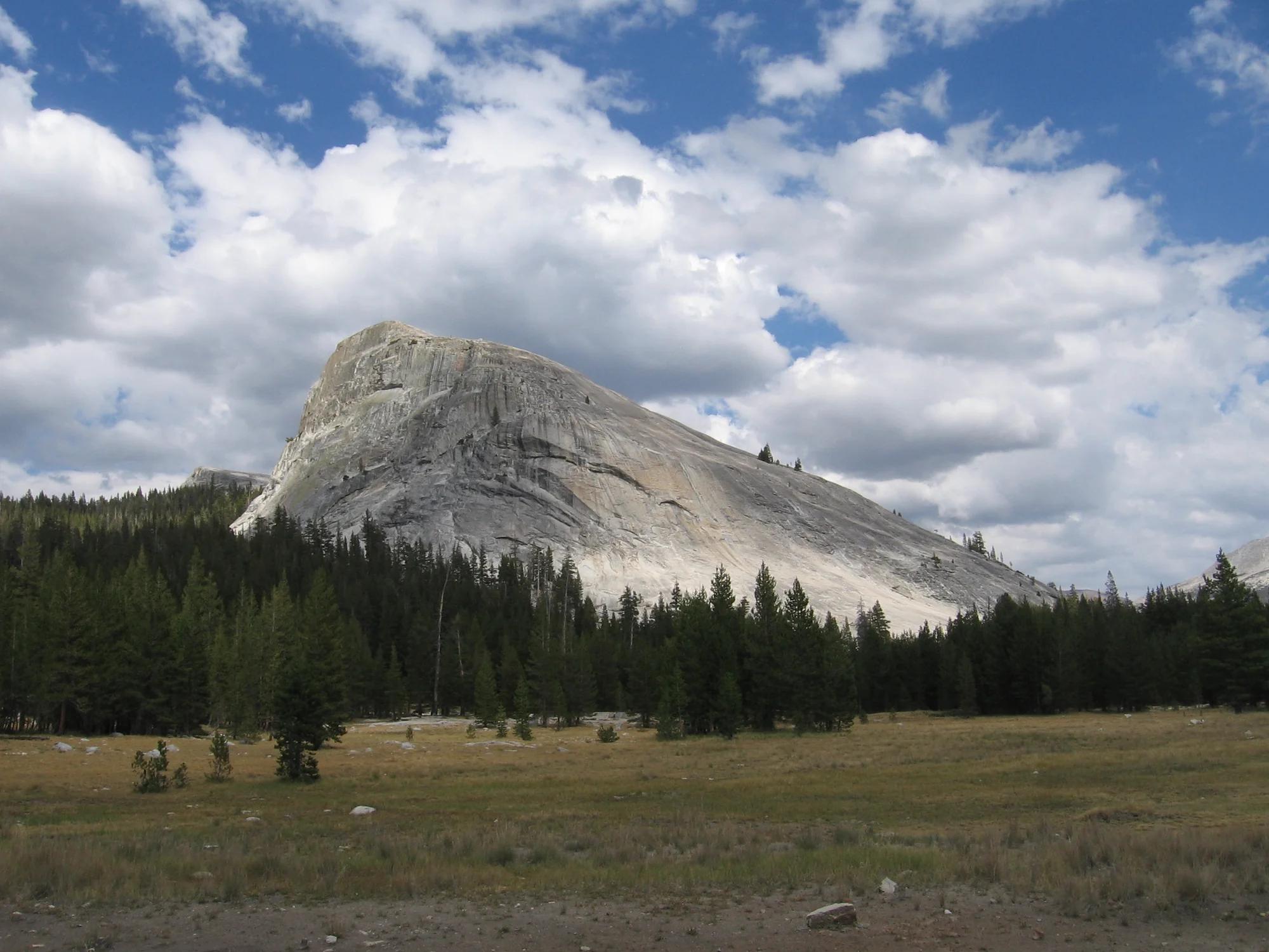
Rocky Mountain National Park · Colorado & Rocky Mountains · Colorado
A quintessential subalpine lake trail in Tyndall Gorge, visiting Nymph, Dream, and Emerald Lakes beneath Hallett Peak.
Photo: Nicolas Henderson from Coppell, Texas · CC BY 2.0

Humboldt-Toiyabe National Forest · Lake Tahoe & Northern Sierra
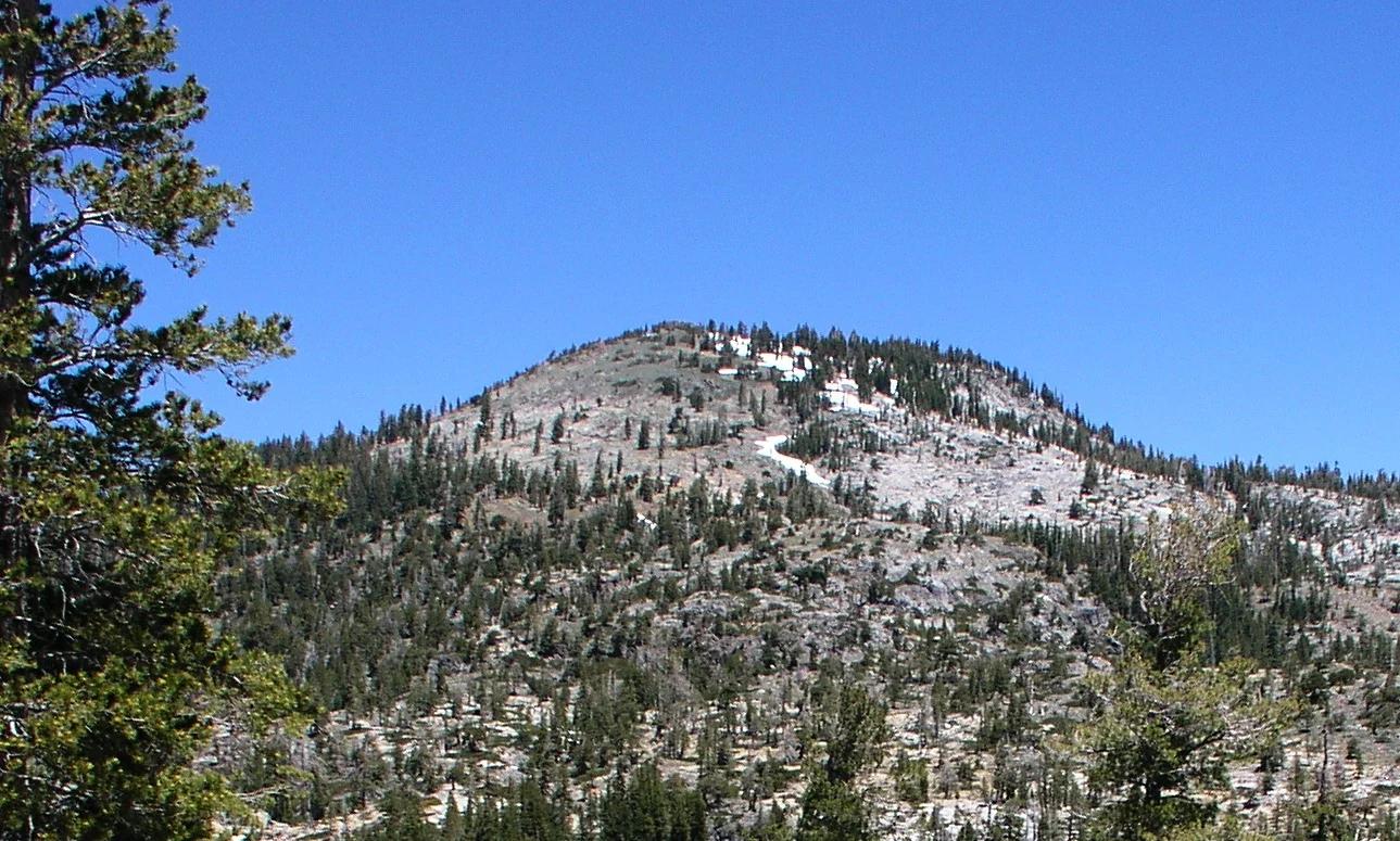
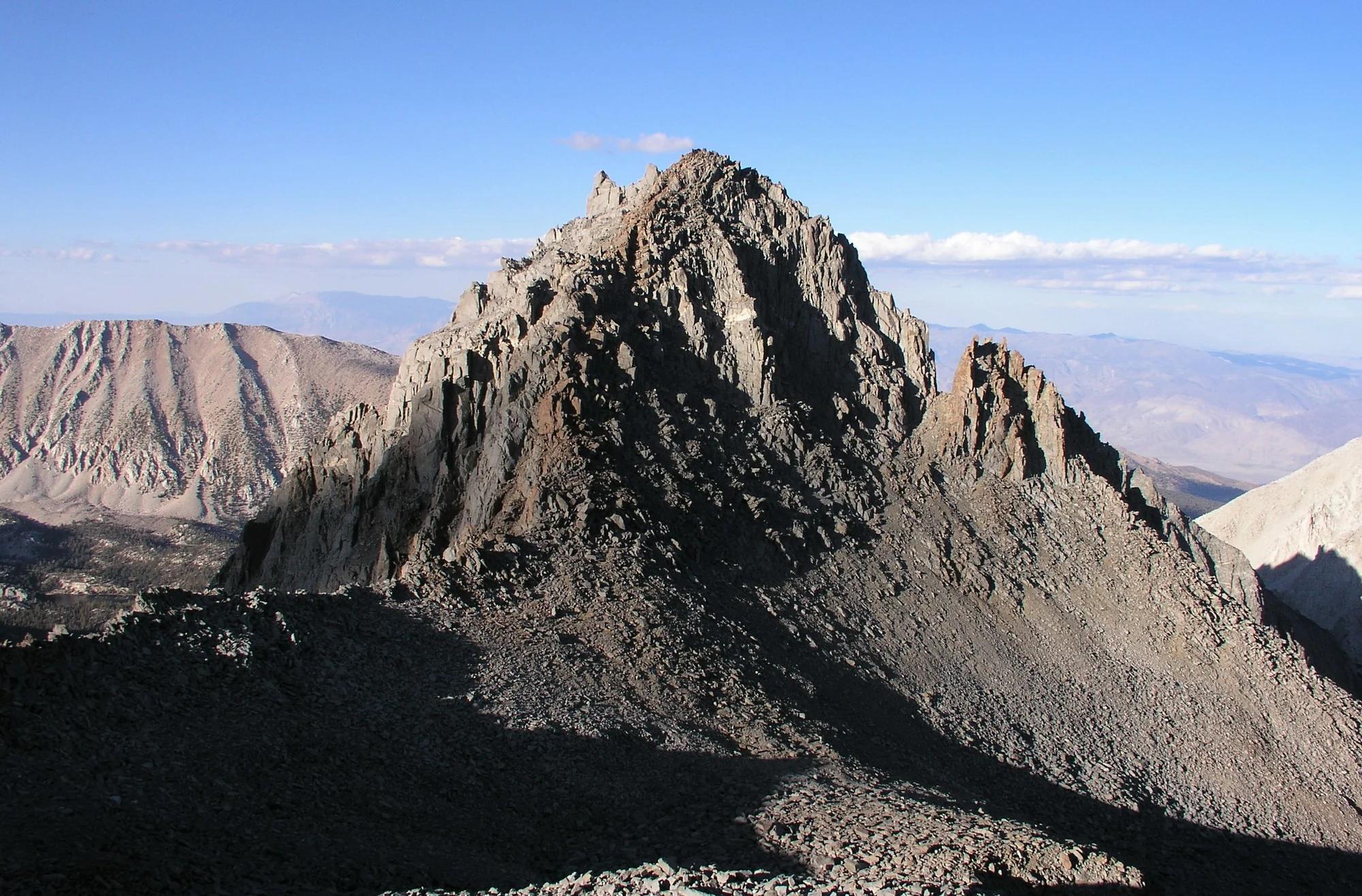
Verified California saddle at 9,643 ft in Humboldt-Toiyabe National Forest (Lake Tahoe & Northern Sierra). Linked to Pct: Sonora Pass - Dorothy Lk.
Photo: Eric in SF · CC BY-SA 3.0

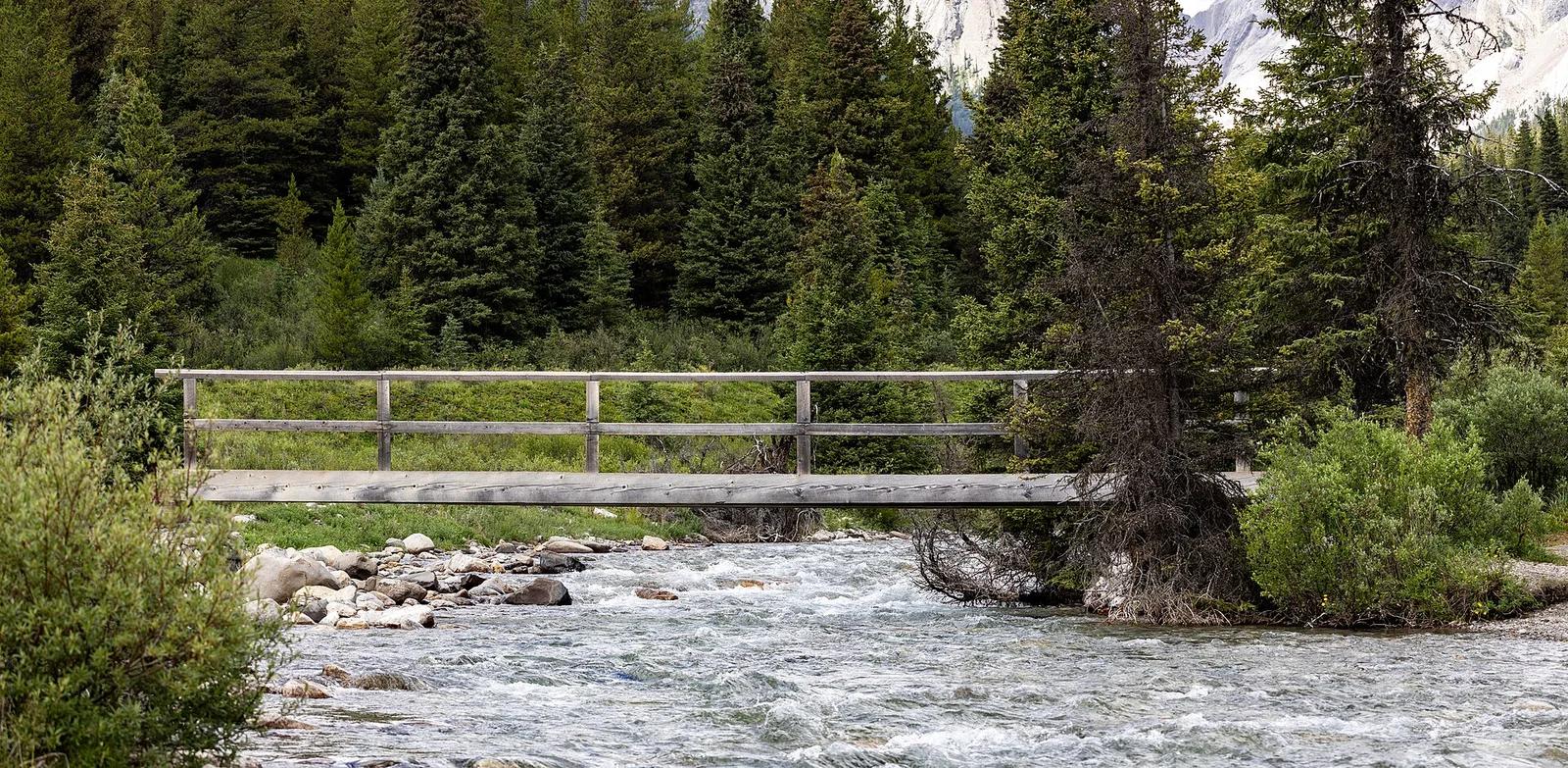
Banff National Park · Canadian Rockies & British Columbia · Canada
Dramatic limestone chasm carved by roaring glacial rapids, traversed by cantilevered catwalks leading to Lower and Upper Falls and the Ink Pots springs.
Photo: Chris Woodrich · CC BY-SA 4.0

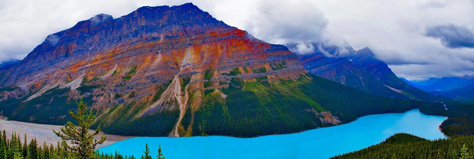
Banff National Park · Canadian Rockies & British Columbia · Canada
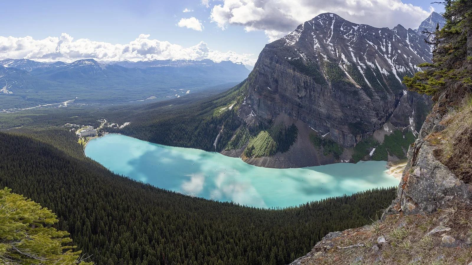
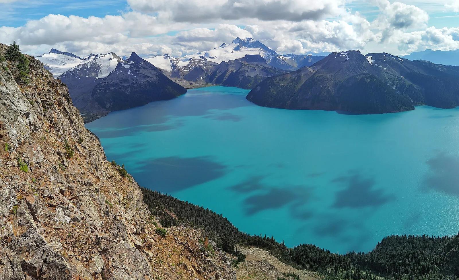
Wolf-head-shaped vibrant azure glacial basin viewed from Bow Summit, the highest highway pass in Banff along the Icefields Parkway.
Photo: Ron Cogswell from Arlington, Virginia, USA · CC BY 2.0

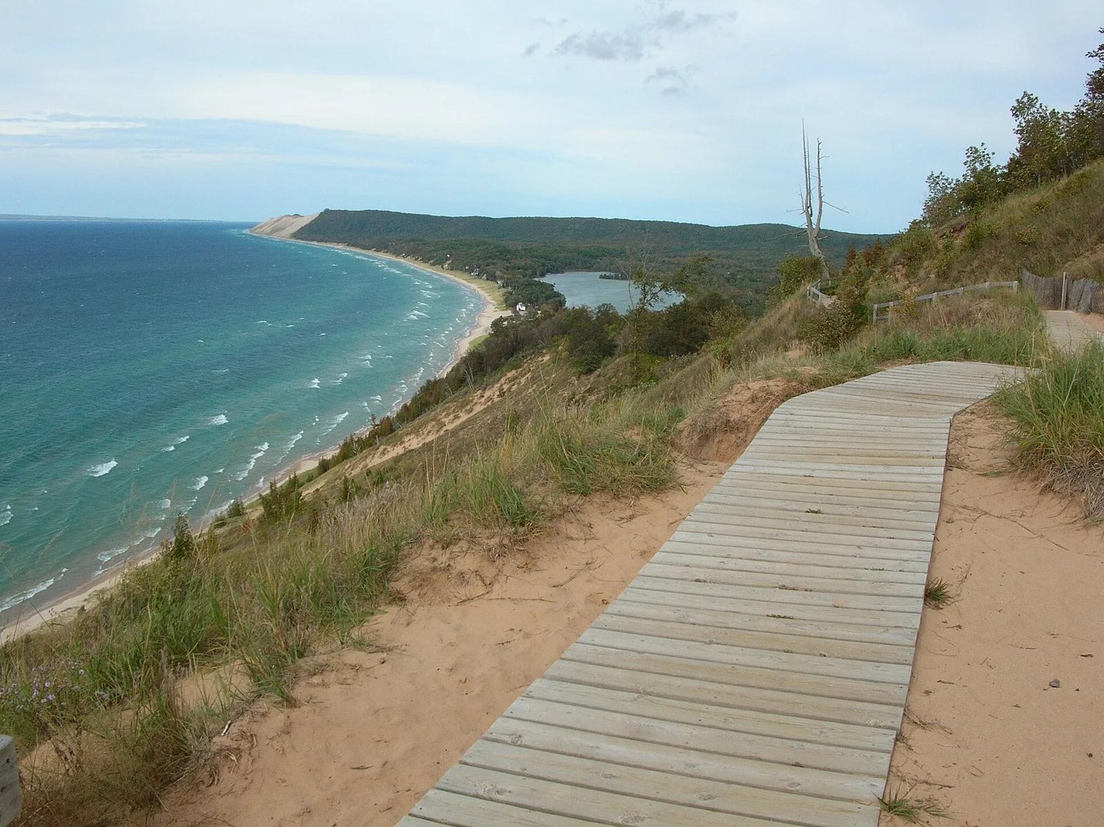
Sleeping Bear Dunes National Lakeshore · Midwest & Great Lakes · Michigan
Winds through a tranquil beech-maple hardwood forest to an elevated wooden boardwalk over 400-foot bluffs above Lake Michigan.
Photo: NOAA Great Lakes Environmental Research Laboratory · CC BY-SA 2.0

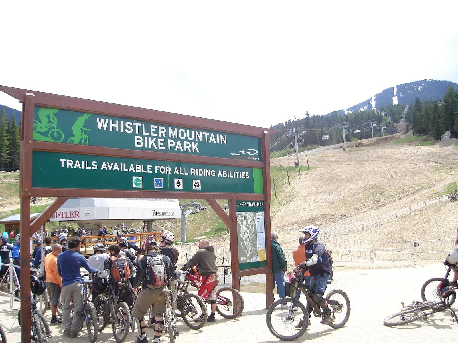
Whistler Blackcomb · Canadian Rockies & British Columbia · Canada
The global benchmark for lift-accessed gravity mountain biking with over 80 kilometres of downhill flow trails, rock slabs, and technical berms.
Photo: XMAG (talk) (Uploads) · Public domain

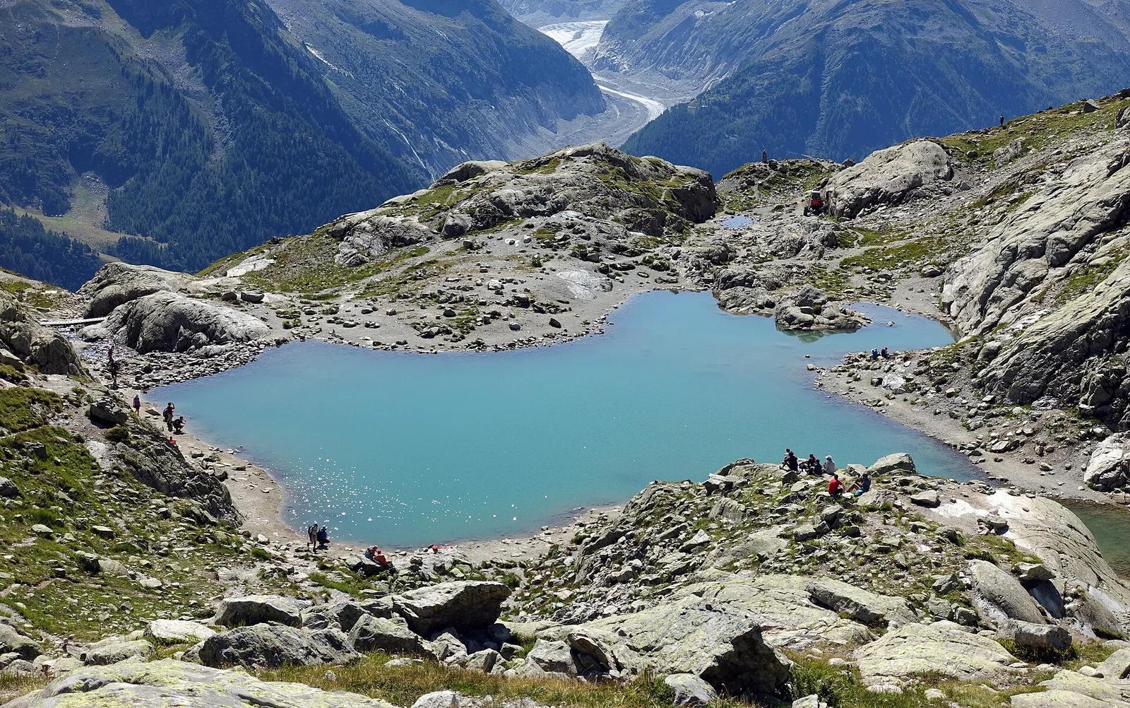
Aiguilles Rouges National Nature Reserve · European Alps (France & Switzerland) · France
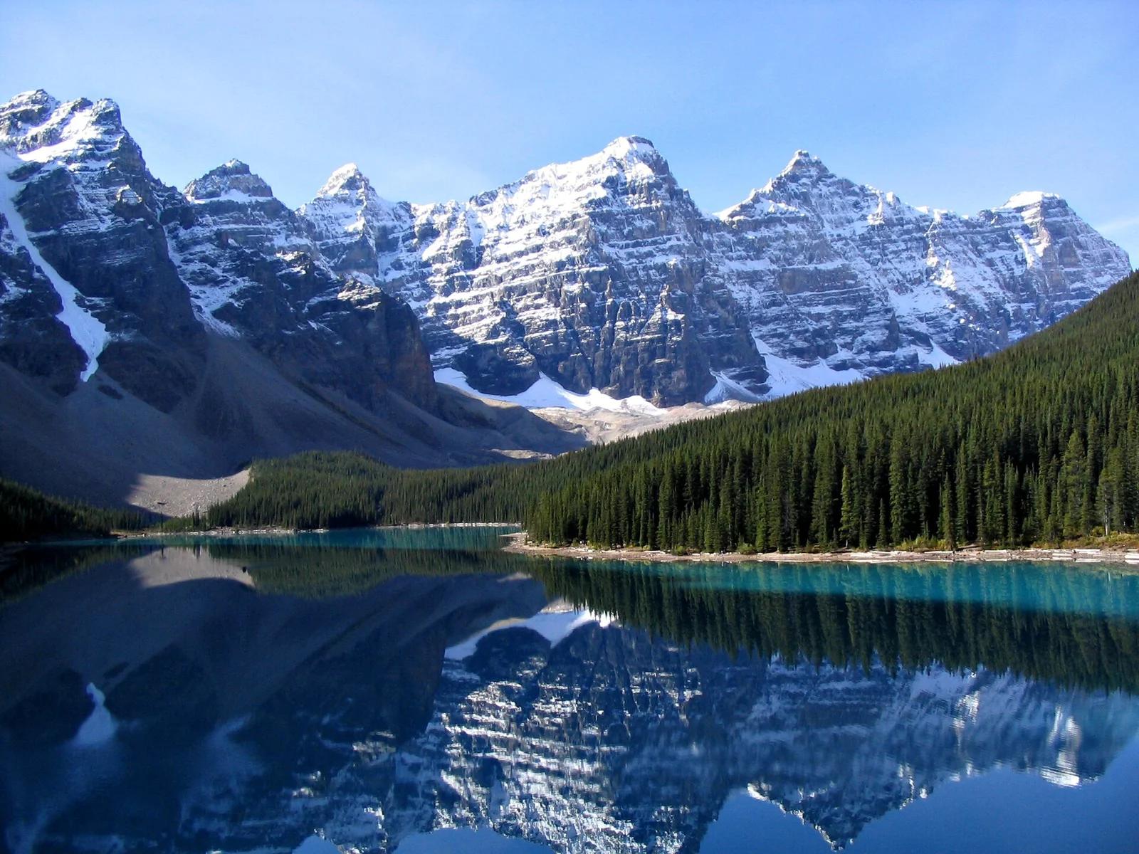
High-alpine glacial tarn perched on granite benches offering the premier mirrored panoramic view of the entire Mont Blanc massif.
Photo: Tiia Monto · CC BY-SA 3.0

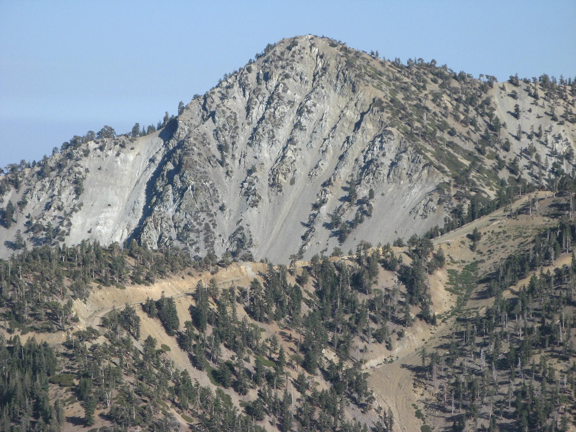
Angeles National Forest · San Gabriel Mountains
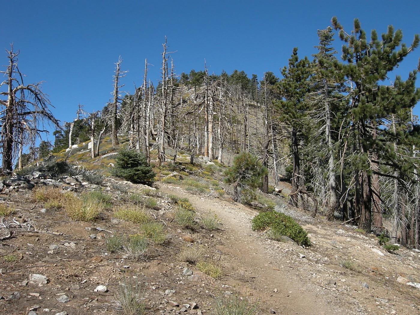
Verified California peak at 5,699 ft in Angeles National Forest (San Gabriel Mountains). Linked to Rim Trail.
Photo: The original uploader was Geographer at English Wikipedia . · CC BY 1.0

Ozark-St. Francis National Forest · South & Gulf Coast · Arkansas
Iconic beak-shaped sandstone prow jutting 100 feet out over the forested Upper Buffalo Wilderness of the Ozark Mountains.
Photo: Tony Webster from Minneapolis, Minnesota, United States · CC BY-SA 2.0

Jungfrau-Aletsch UNESCO World Heritage · European Alps (France & Switzerland) · Switzerland
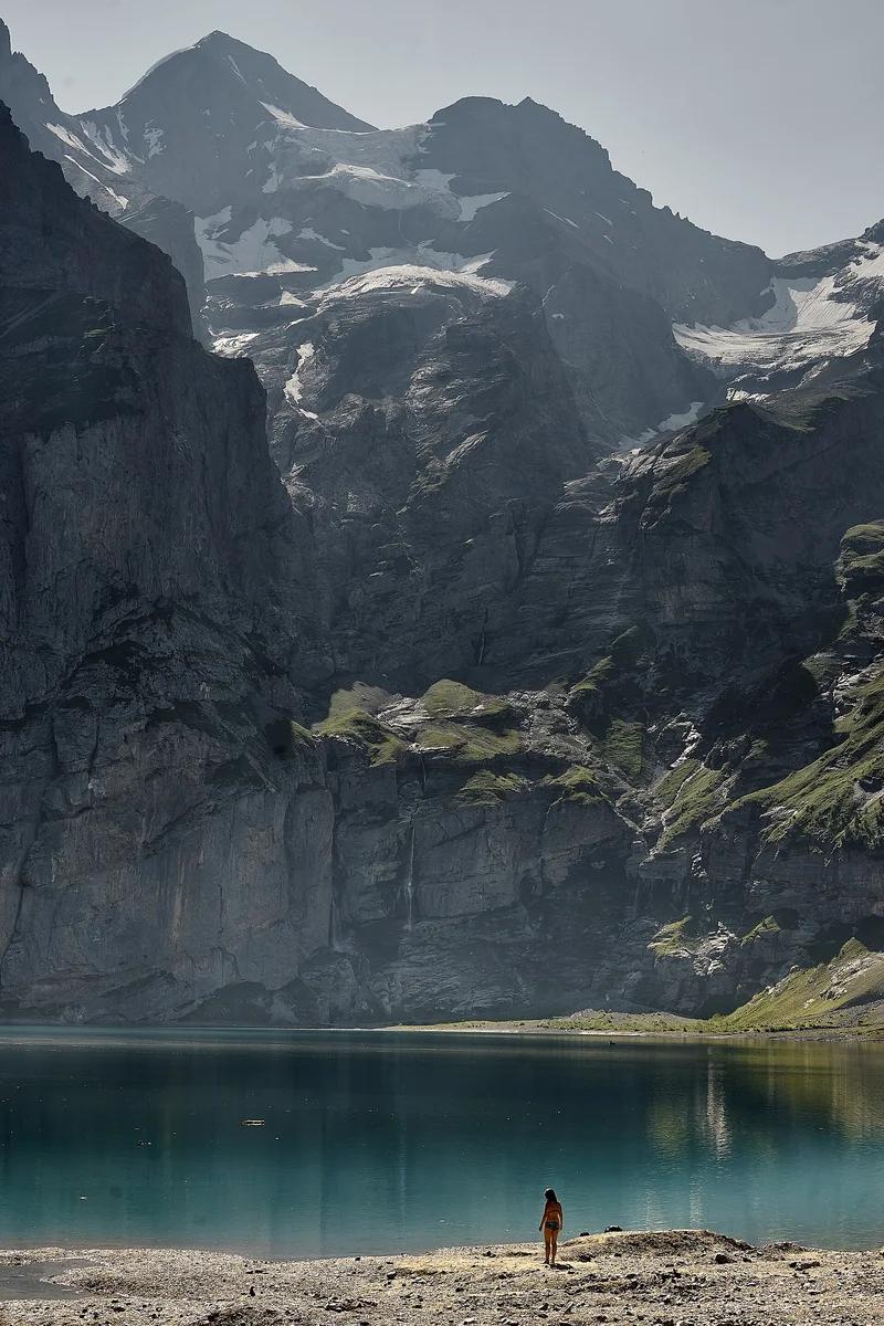
Deep cobalt glacial cirque beneath sheer 3,000-metre limestone cliffs of Blüemlisalp, fed by subterranean waterfall streams.
Photo: Günter Seggebäing, Coesfeld · CC BY-SA 3.0

Cataract Falls State Recreation Area (Cagles Mill Lake) · Central Indiana · Indiana
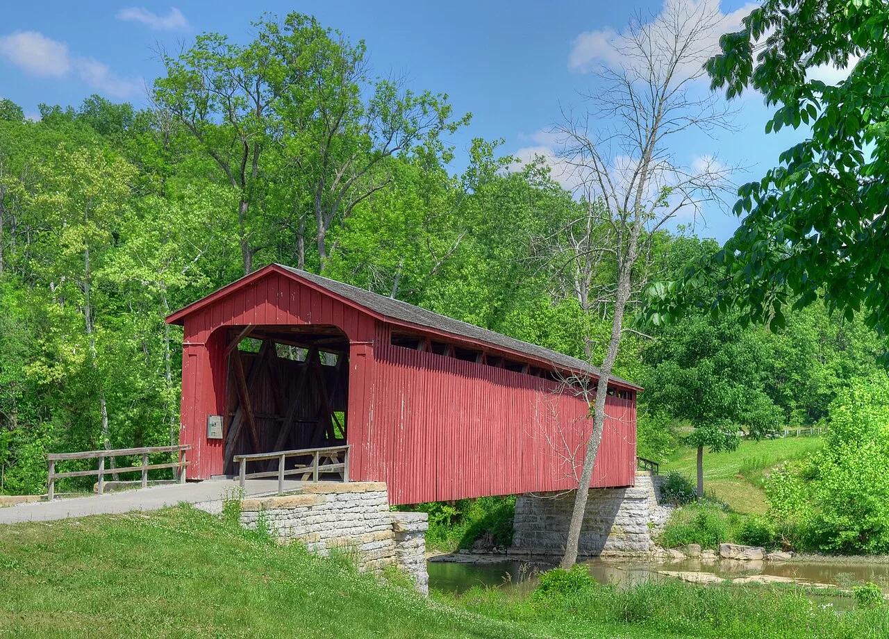
The largest waterfall by water volume in Indiana, dropping over Upper and Lower tiered limestone ledges spanned by a historic 1876 covered bridge.
Photo: Rodney Campbell · CC BY 2.0