Island Beach State Park · Jersey Shore · New Jersey
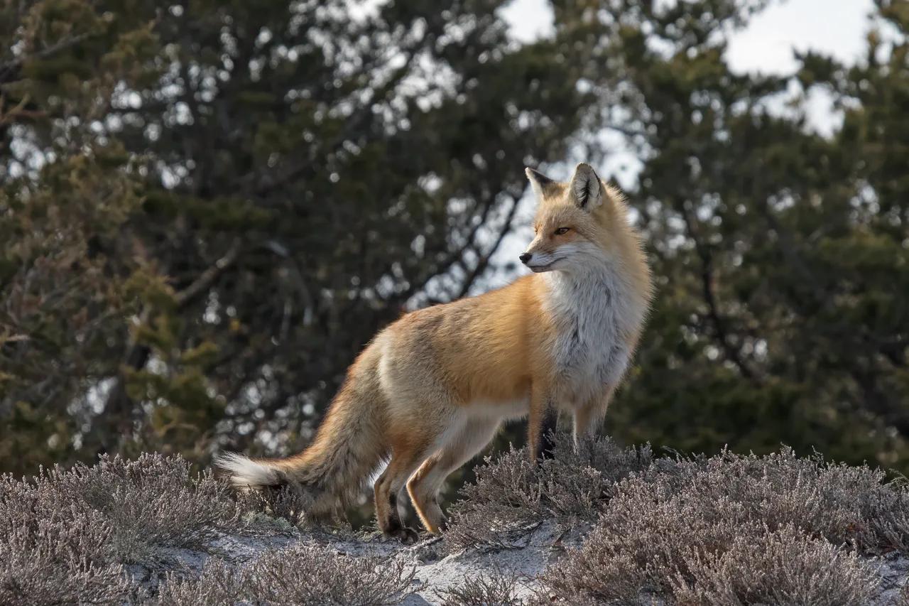
Island Beach State Park Maritime Dune Trail
Ten miles of pristine, completely undeveloped barrier island with primary dunes, thick maritime holly forests, and rolling surf.
- Route
- 2 mi
- Climb
- 33 ft
Browse & Discover
Filter by activity, state, region, dog policy, or route effort — or use the interactive map below to find waterfalls, trails, beaches, bikeways, skateparks, and campgrounds near any location.
1,048 of 2,051 places
Drag to pan. Double-click, pinch or scroll to zoom. Keyboard: arrow keys and +/−. Cards below remain available.
Loading map… Browse the spot cards below at any time.

Joshua Tree National Park
A granite arch in the White Tank monzogranite, reached by a short sandy trail from the Twin Tanks parking area.
John D. from Pasadena, USA · CC BY 2.0. Source & image licence

Joshua Tree National Park
A short desert trail to the historic Barker Dam water-storage structure in Joshua Tree National Park.
Hannah Schwalbe / NPS · Public domain. Source & image licence

Russian Ridge Open Space Preserve
The highest named summit in San Mateo County, an open grassland top on Russian Ridge with views from the ocean to the Bay.
Justin Dolske from Cupertino, USA · CC BY-SA 2.0. Source & image licence

Eaton Canyon Natural Area
The waterfall at the head of lower Eaton Canyon, reached by a wide wash walk from the Eaton Canyon Nature Center and a final creekside scramble.
[scott.medling or en:user:scott.medling user:scott.medling from California, United States] · CC BY-SA 2.0. Source & image licence

Escondido Canyon Park
A multi-tiered waterfall in Escondido Canyon above Malibu. The maintained trail ends at the base of the mossy lower tier.
Santa Monica Mountains National Recreation Area · Public domain. Source & image licence

Mount Tamalpais Watershed
A winter-and-spring cascade on Cataract Creek just below the Laurel Dell picnic area, reached downhill along the Cataract Trail from Rock Spring.
Richard Wood · CC BY-SA 3.0. Source & image licence

Joshua Tree National Park
One of the best-preserved stamp mills in Joshua Tree National Park, at the site of the Lost Horse gold mine.
Joseph from Cabin On The Road, USA · CC BY-SA 2.0. Source & image licence

Angeles National Forest
A waterfall of about fifty feet filling the head of a narrow, shaded canyon, a short walk upstream from Millard Campground.
Region 5 Photography · Public domain. Source & image licence

Mount Tamalpais State Park
The summit of Mount Tamalpais, a short plank-and-rock climb from the East Peak visitor area to the fire lookout above the whole Bay Area.
Chris Koerner from St. Louis, USA · CC BY-SA 2.0. Source & image licence

Inyo National Forest
A quiet lake in the Ansel Adams Wilderness beneath Parker Peak, reached through sage and an aspen-lined creek canyon off the June Lake Loop.
Mark Gunn from Novato, California, USA · CC BY 2.0. Source & image licence

Pfeiffer Big Sur State Park
A 60-foot waterfall on Pfeiffer-Redwood Creek, reached through the redwoods of Pfeiffer Big Sur State Park on a trail twice rebuilt — after the 2008 Basin Complex Fire and again after 2023 storm damage.
Joe Mabel · CC BY-SA 4.0. Source & image licence

Santa Monica Mountains National Recreation Area
The highest point in the Santa Monica Mountains, climbed from the Mishe Mokwa trailhead along the Backbone Trail at Circle X Ranch.
Wasquewhat · CC BY-SA 4.0. Source & image licence

Angeles National Forest
A 50-foot single drop into a shallow plunge pool, 1.7 mi up Big Santa Anita Canyon. Shaded the entire way in. The work is all on the walk out.
U.S. Department of Agriculture / USDA USFS · CC BY 2.0. Source & image licence

Santa Monica Mountains National Recreation Area
The ruins of the Roberts family ranch house at the end of the canyon-floor trail in Solstice Canyon, beside a small seasonal waterfall.
George Heras / Santa Monica Mountains National Recreation Area · Public domain. Source & image licence

Pfeiffer Big Sur State Park
An overlook above the Big Sur River valley, looking north over the redwoods toward Point Sur and the Pacific.
King of Hearts · CC BY-SA 3.0. Source & image licence

Headlands Dunes State Nature Preserve / State Park · Lake Erie Shore · Ohio
Ohio's longest natural sand beach along Lake Erie, protecting rare coastal sand dunes, migrating monarch butterflies, and Fairport Harbor West Breakwater Light.
Photo: Pbalson8204 at English Wikipedia · Public domain

Devils Fork State Park (Salem) · Appalachian & Blue Ridge · South Carolina
7,500-acre mountain-rimmed emerald reservoir fed by four Appalachian rivers and waterfall coves accessible only by kayak or boat.
Photo: P. Hughes · CC BY 4.0

Summersville Lake State Park · Appalachian & Blue Ridge · West Virginia
The 'Little Bahamas of the East'—crystal-clear emerald reservoir framed by 100-foot golden Nuttall sandstone cliffs explored by kayak and cliff trail.
Photo: Jarek Tuszyński · CC BY-SA 4.0

Golden Gate Park · San Francisco Bay Area
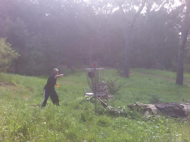
Premier 18-hole championship disc golf course weaving through Monterey cypress and eucalyptus groves in San Francisco's flagship park.
Photo: Steve Ganz · CC BY 2.0

Shawnee National Forest (Ozark) · Southern Illinois / Shawnee · Illinois
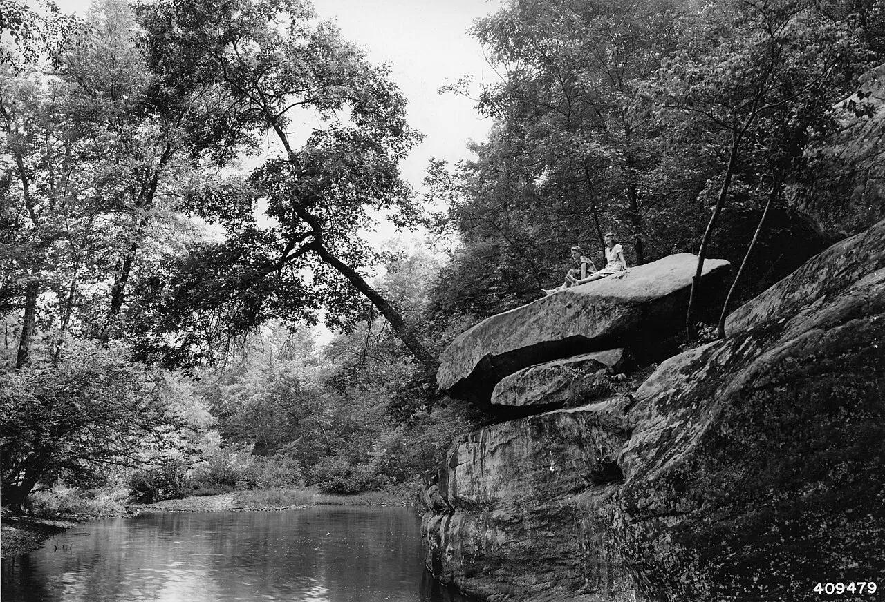
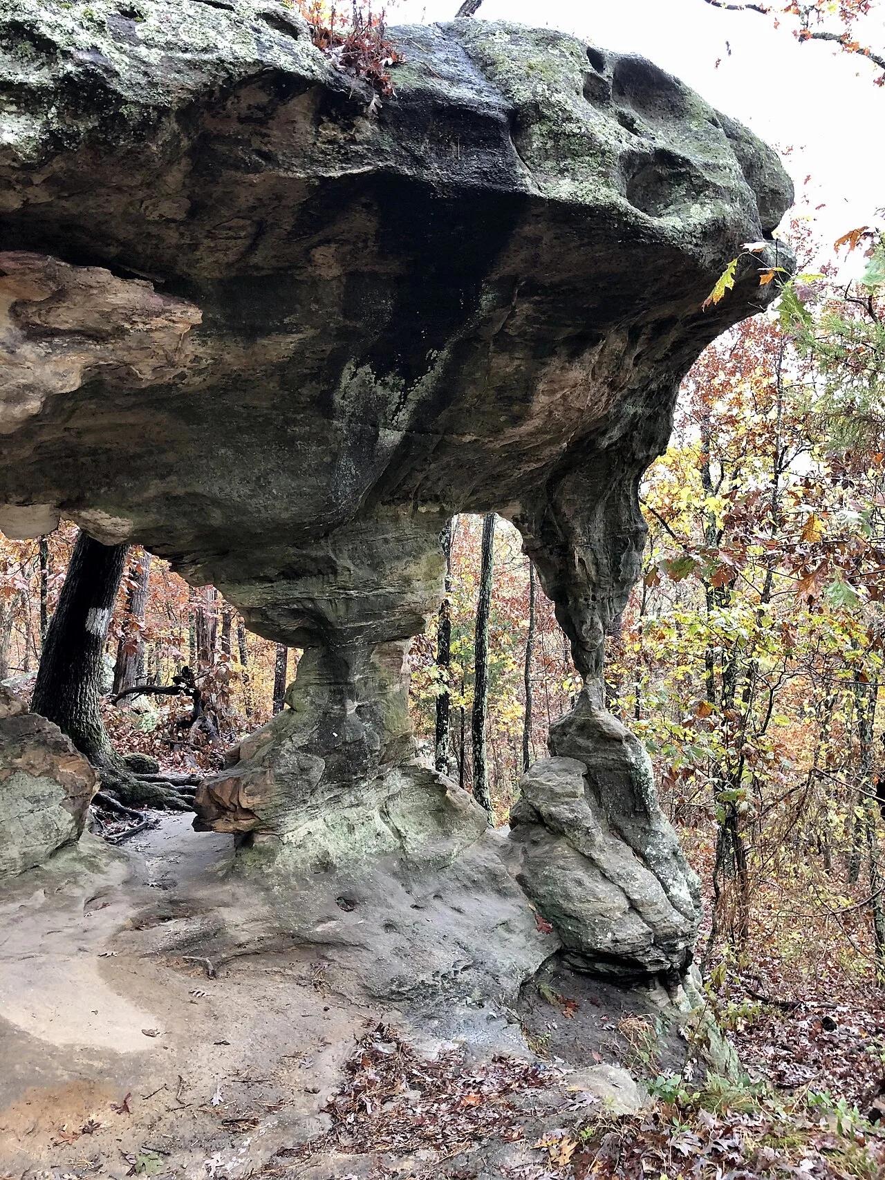
Spectacular sandstone canyon featuring clear stream swimming pools, a 125-foot natural stone bridge, and the soaring fin of Devil's Backbone.
Photo: Unknown authorUnknown author or not provided · Public domain

Hitchcock Nature Center (Pottawattamie County) · Loess Hills · Iowa
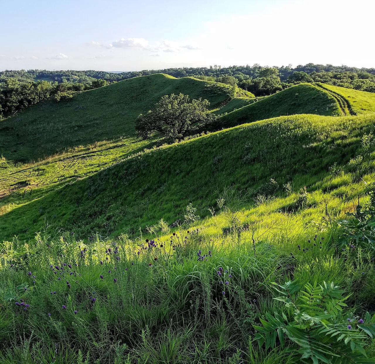
Knife-edge windblown silt ridges rising 200 feet above the Missouri River floodplain, famous for fall raptor migrations and HawkWatch tower views.
Photo: cassi saari · CC BY-SA 4.0

Upper Bidwell Park · Sacramento Valley
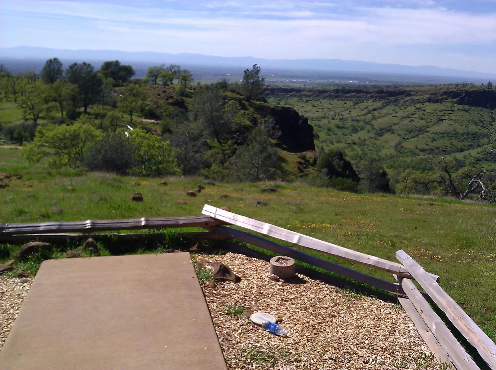
Dramatic cliffside course perched on the volcanic rims of Upper Bidwell Park, overlooking Iron Canyon and Big Chico Creek.
Photo: Doug Orleans from Somerville, MA, USA · CC BY-SA 2.0

Grand Isle State Park · Atlantic & Gulf Coasts · Louisiana
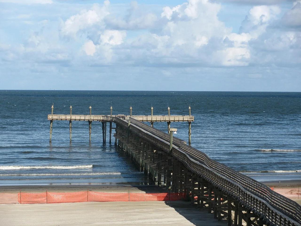
Louisiana's only inhabited barrier island, offering a mile of Gulf of Mexico surf beach, live-oak chenier birding trails, and a 400-foot fishing pier.
Photo: Rebecca Milby · CC BY 2.0

Moraga Commons Park · San Francisco Bay Area
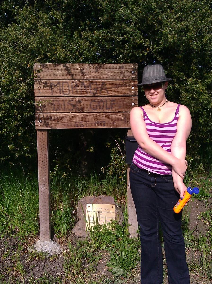
Scenic rolling East Bay hills course with challenging elevation changes, heritage eucalyptus, and oak-lined grassy fairways.
Photo: Doug Orleans from Somerville, MA, USA · CC BY-SA 2.0

Ford Park · Inland Empire
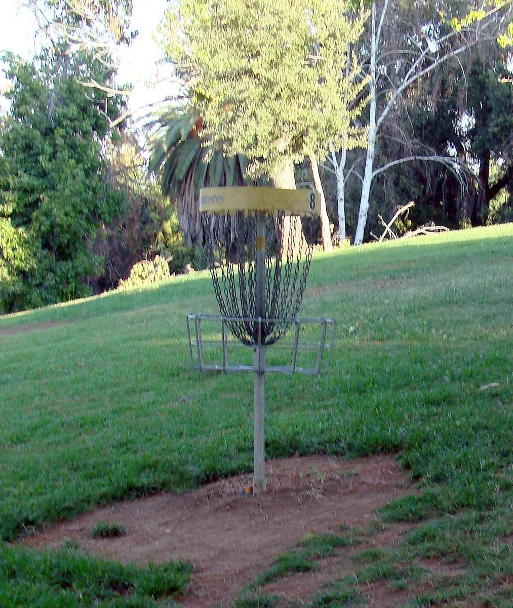
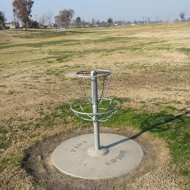
Inland Empire city course featuring mature shaded shade trees, gentle grass slopes, and water hazards flanking two serene duck ponds.
Photo: inkknife_2000 (7.5 million views +) · CC BY-SA 2.0

Black Butte Lake Recreation Area · Sacramento Valley
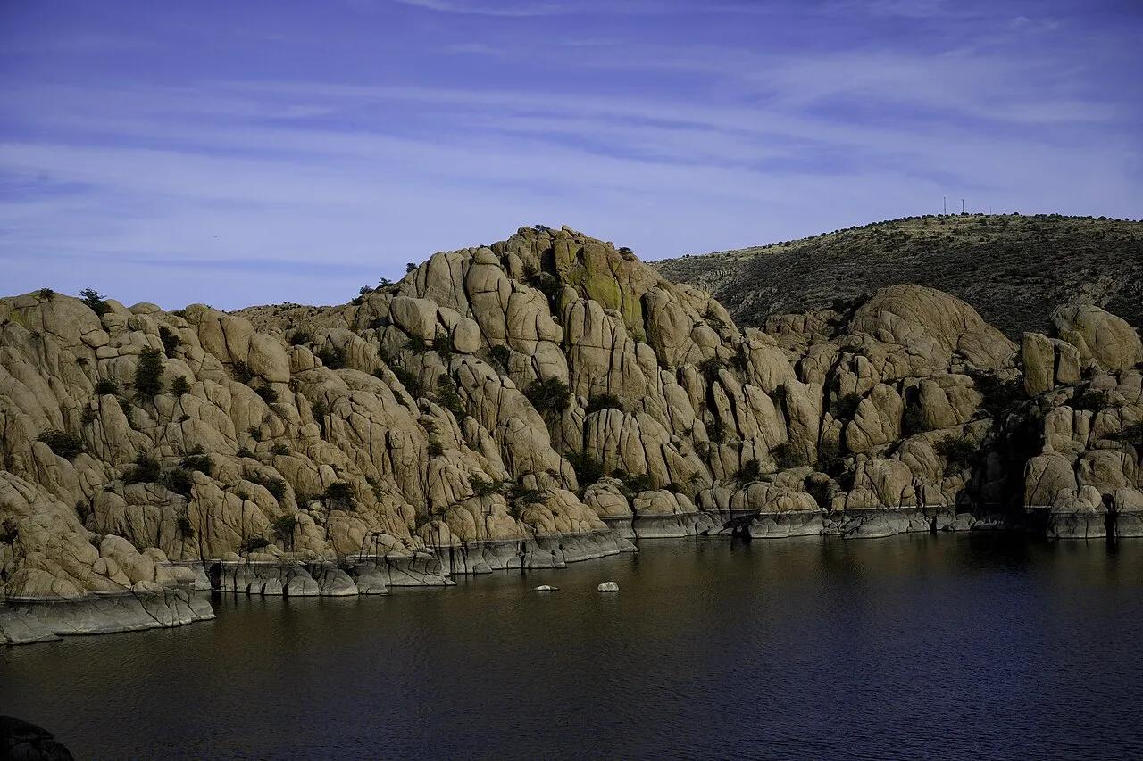
Challenging wilderness course situated along the volcanic basalt shores and blue oak woodlands of Black Butte Lake.
Photo: Michael Nevins, U.S. Army Corps of Engineers · Public domain

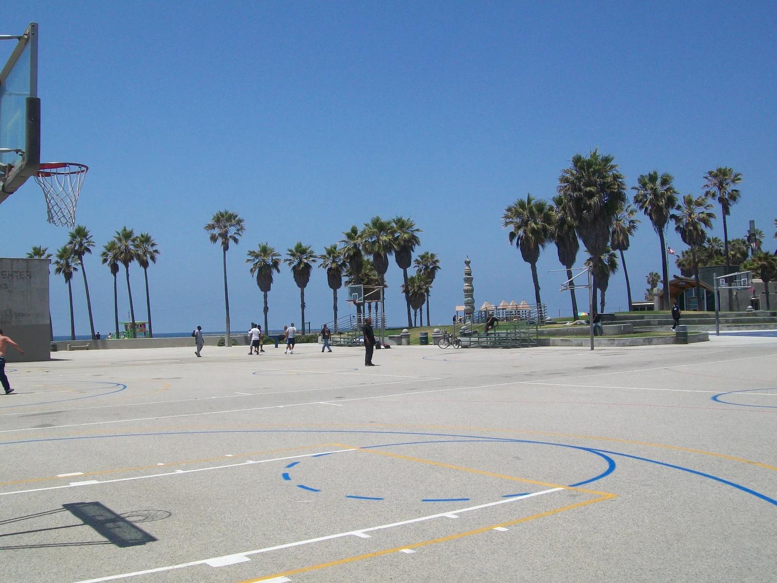
Venice Beach Recreation Center · Los Angeles
The legendary outdoor streetball mecca celebrated in films and sports history, situated right on the Venice Boardwalk oceanfront.
Photo: Clotee Pridgen Alloc… · CC BY-SA 3.0

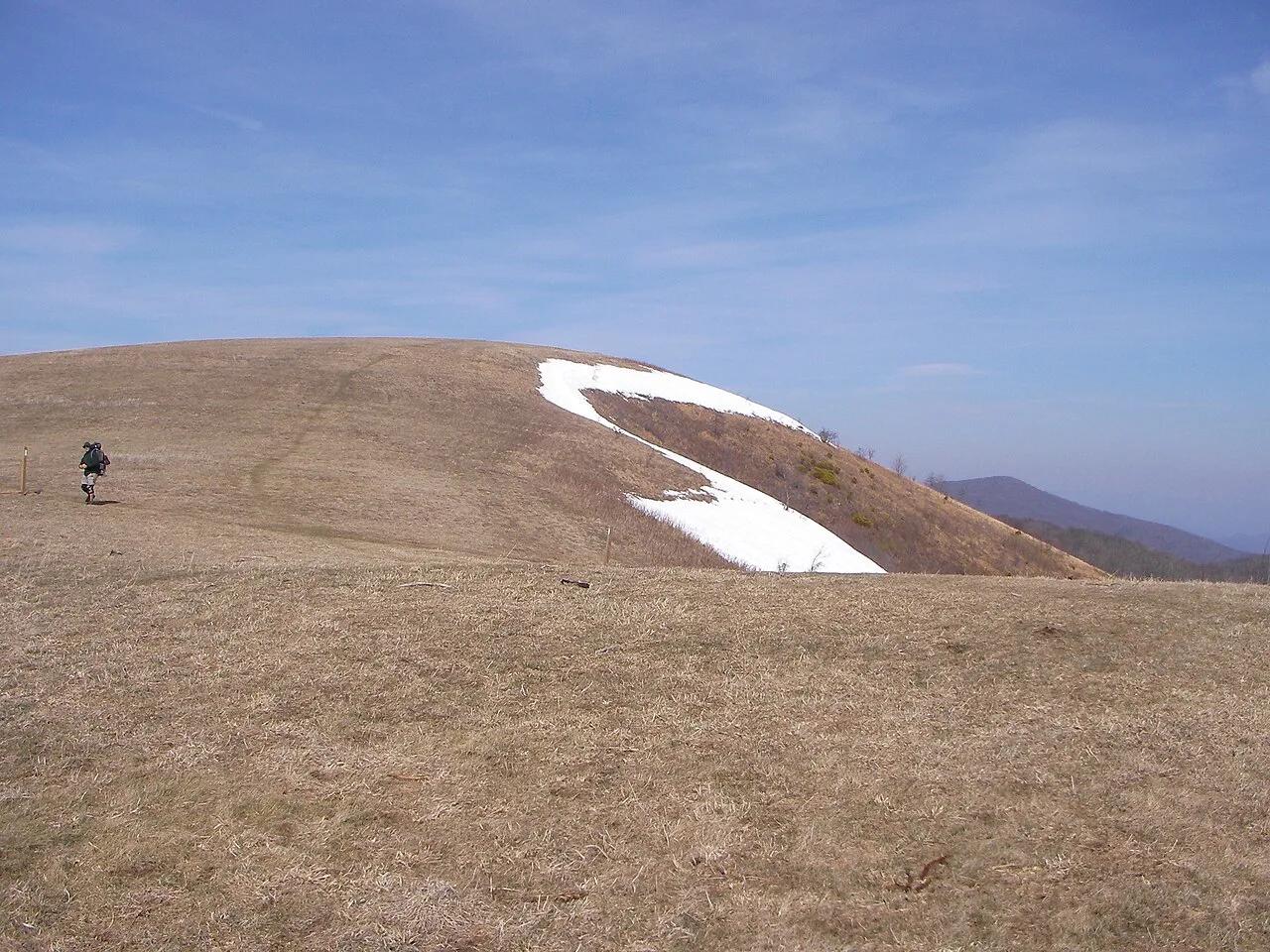
Pisgah National Forest · Appalachian & Blue Ridge · North Carolina
350-acre open mountaintop meadow along the Appalachian Trail offering unobstructed views from Mount Mitchell to the Great Smoky Mountains.
Photo: User:Washedwithblood7 · Public domain

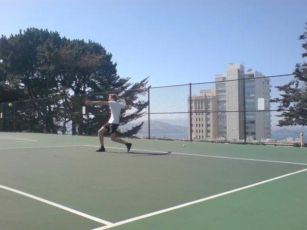
George Sterling Park · San Francisco Bay Area
Stunning rooftop-style public courts on Russian Hill named for the tennis champion, offering unmatched views of Alcatraz and San Francisco Bay.
Photo: Stefan.soderlindh · CC BY-SA 3.0

Anastasia State Park (St. Augustine) · Atlantic & Gulf Coasts · Florida
Four miles of pristine Atlantic surf beach, tidal Salt Run kayaking lagoon, and 1670s coquina shellrock quarries shaded by maritime hammocks.
Photo: w_lemay · CC BY-SA 2.0

Santa Monica State Beach · Los Angeles
Expansive array of public beach volleyball courts stretched between the Santa Monica Pier and Ocean Park along the bike trail.
Photo: Julie, Dave & Family from Toronto,Canada, Canada · CC BY-SA 2.0