Cave
Pinnacles National Park · Central Coast & Big Sur
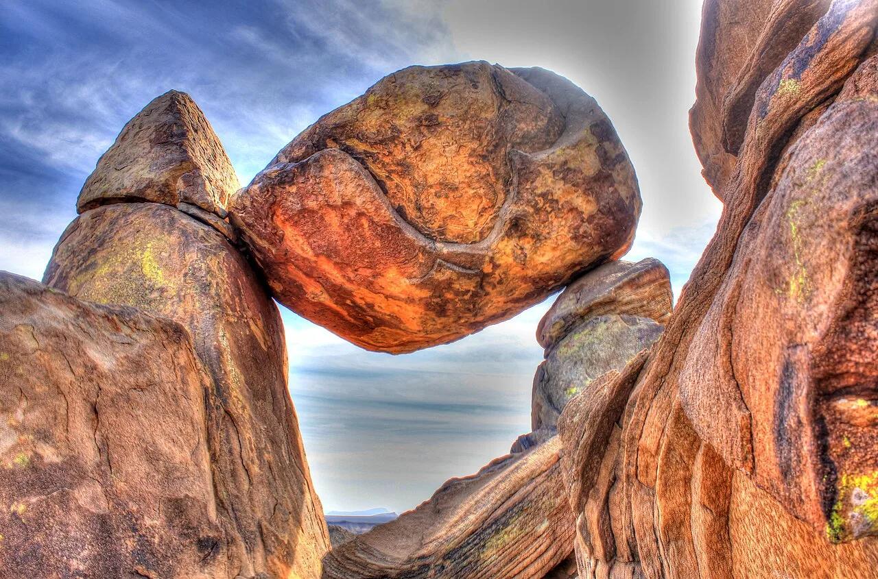
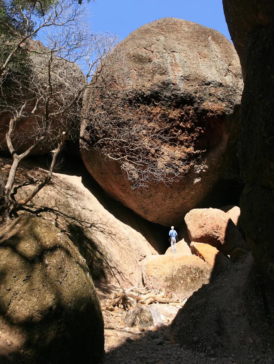
Balconies Cave
A rugged talus cave on the west side of Pinnacles where hikers scramble through pitch-black boulder chambers with headlamps.
- Route
- 2.4 mi
- Climb
- 299 ft
Browse & Discover
Filter by activity, state, region, dog policy, or route effort — or use the interactive map below to find waterfalls, trails, beaches, bikeways, skateparks, and campgrounds near any location.
1,048 of 2,051 places
Drag to pan. Double-click, pinch or scroll to zoom. Keyboard: arrow keys and +/−. Cards below remain available.
Loading map… Browse the spot cards below at any time.

Joshua Tree National Park
A granite arch in the White Tank monzogranite, reached by a short sandy trail from the Twin Tanks parking area.
John D. from Pasadena, USA · CC BY 2.0. Source & image licence

Joshua Tree National Park
A short desert trail to the historic Barker Dam water-storage structure in Joshua Tree National Park.
Hannah Schwalbe / NPS · Public domain. Source & image licence

Russian Ridge Open Space Preserve
The highest named summit in San Mateo County, an open grassland top on Russian Ridge with views from the ocean to the Bay.
Justin Dolske from Cupertino, USA · CC BY-SA 2.0. Source & image licence

Eaton Canyon Natural Area
The waterfall at the head of lower Eaton Canyon, reached by a wide wash walk from the Eaton Canyon Nature Center and a final creekside scramble.
[scott.medling or en:user:scott.medling user:scott.medling from California, United States] · CC BY-SA 2.0. Source & image licence

Escondido Canyon Park
A multi-tiered waterfall in Escondido Canyon above Malibu. The maintained trail ends at the base of the mossy lower tier.
Santa Monica Mountains National Recreation Area · Public domain. Source & image licence

Mount Tamalpais Watershed
A winter-and-spring cascade on Cataract Creek just below the Laurel Dell picnic area, reached downhill along the Cataract Trail from Rock Spring.
Richard Wood · CC BY-SA 3.0. Source & image licence

Joshua Tree National Park
One of the best-preserved stamp mills in Joshua Tree National Park, at the site of the Lost Horse gold mine.
Joseph from Cabin On The Road, USA · CC BY-SA 2.0. Source & image licence

Angeles National Forest
A waterfall of about fifty feet filling the head of a narrow, shaded canyon, a short walk upstream from Millard Campground.
Region 5 Photography · Public domain. Source & image licence

Mount Tamalpais State Park
The summit of Mount Tamalpais, a short plank-and-rock climb from the East Peak visitor area to the fire lookout above the whole Bay Area.
Chris Koerner from St. Louis, USA · CC BY-SA 2.0. Source & image licence

Inyo National Forest
A quiet lake in the Ansel Adams Wilderness beneath Parker Peak, reached through sage and an aspen-lined creek canyon off the June Lake Loop.
Mark Gunn from Novato, California, USA · CC BY 2.0. Source & image licence

Pfeiffer Big Sur State Park
A 60-foot waterfall on Pfeiffer-Redwood Creek, reached through the redwoods of Pfeiffer Big Sur State Park on a trail twice rebuilt — after the 2008 Basin Complex Fire and again after 2023 storm damage.
Joe Mabel · CC BY-SA 4.0. Source & image licence

Santa Monica Mountains National Recreation Area
The highest point in the Santa Monica Mountains, climbed from the Mishe Mokwa trailhead along the Backbone Trail at Circle X Ranch.
Wasquewhat · CC BY-SA 4.0. Source & image licence

Angeles National Forest
A 50-foot single drop into a shallow plunge pool, 1.7 mi up Big Santa Anita Canyon. Shaded the entire way in. The work is all on the walk out.
U.S. Department of Agriculture / USDA USFS · CC BY 2.0. Source & image licence

Santa Monica Mountains National Recreation Area
The ruins of the Roberts family ranch house at the end of the canyon-floor trail in Solstice Canyon, beside a small seasonal waterfall.
George Heras / Santa Monica Mountains National Recreation Area · Public domain. Source & image licence

Pfeiffer Big Sur State Park
An overlook above the Big Sur River valley, looking north over the redwoods toward Point Sur and the Pacific.
King of Hearts · CC BY-SA 3.0. Source & image licence
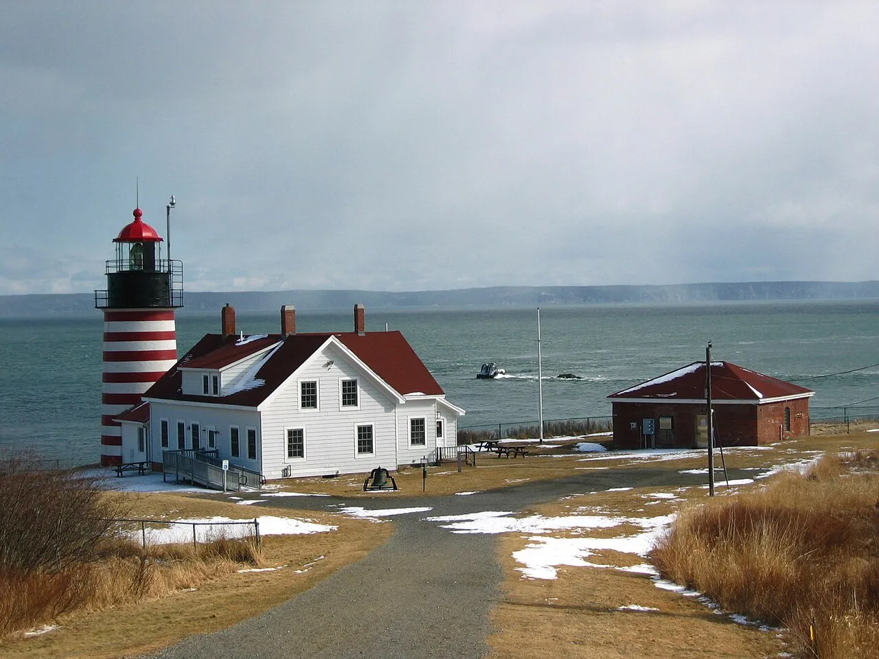
Quoddy Head State Park (Lubec) · Northeast & New England · Maine
Candy-striped lighthouse at the easternmost point of the United States, with basalt cliff trails above the Bay of Fundy tides and a sub-arctic coastal plateau bog.
Photo: M. Trindade Deramo · Public domain
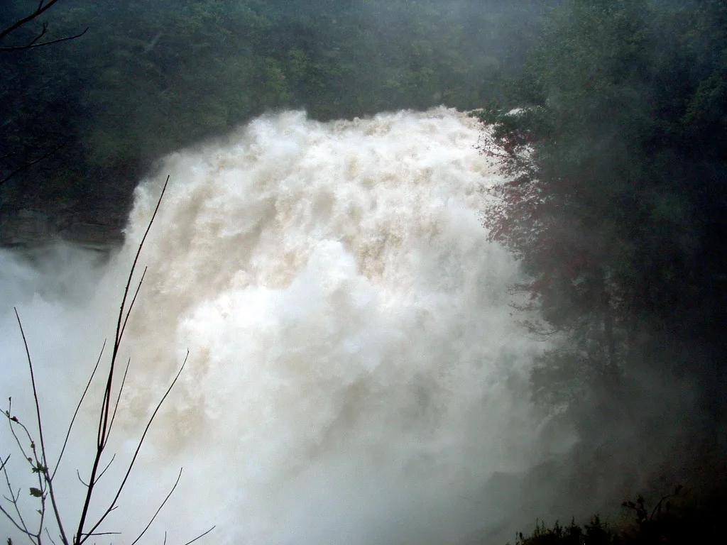
Gorges State Park / Pisgah National Forest · Appalachian & Blue Ridge · North Carolina
150-foot thundering granite cataract throwing permanent rainbow mist across a temperate rainforest gorge, upstream from a natural rock waterslide.
Photo: Wncoutdoors · CC BY-SA 3.0
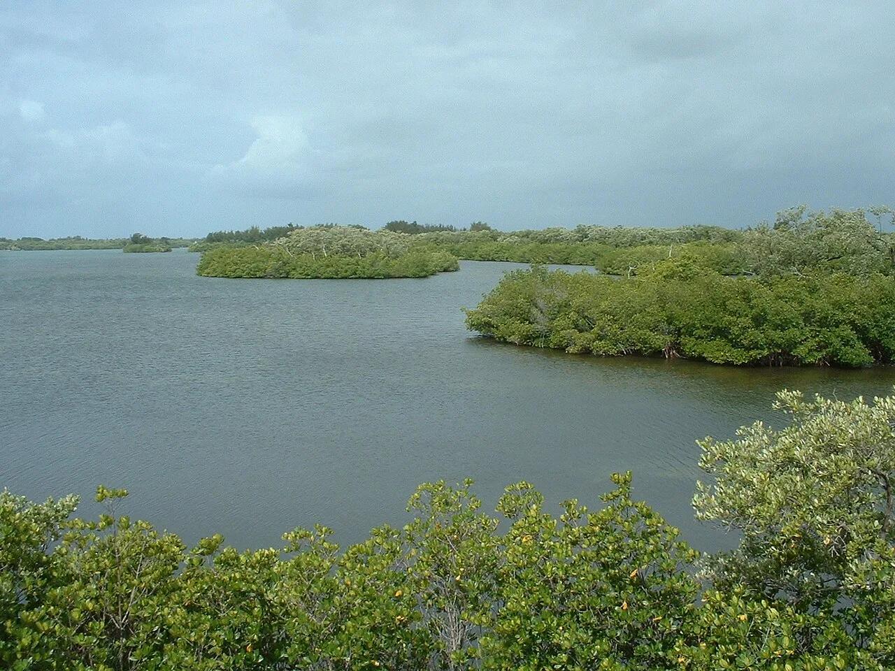
Sebastian Inlet State Park (Melbourne Beach) · Atlantic & Gulf Coasts · Florida
East Coast surfing mecca where Atlantic groundswells refract off the north jetty into powerful First Peak wedges and Indian River Lagoon kayak flats.
Photo: Stephen Lea · CC BY-SA 3.0
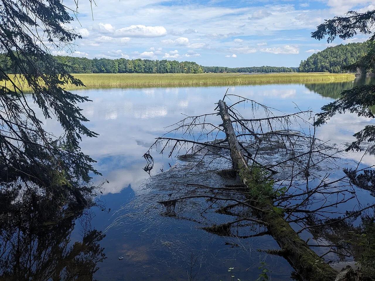
Huron-Manistee National Forests (Oscoda) · Midwest & Great Lakes · Michigan
300-step boardwalk descending 200-foot glacial sand bluffs to natural coldwater springs feeding the Au Sable River canoe corridor.
Photo: Mtn-graphic · CC BY-SA 4.0
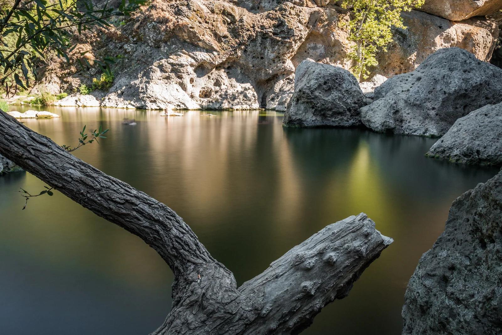
Malibu Creek State Park · Southern California
A freshwater swimming basin surrounded by dramatic volcanic cliffs in the heart of the Santa Monica Mountains.
Photo: Santa Monica Mountains National Recreation Area · Public domain
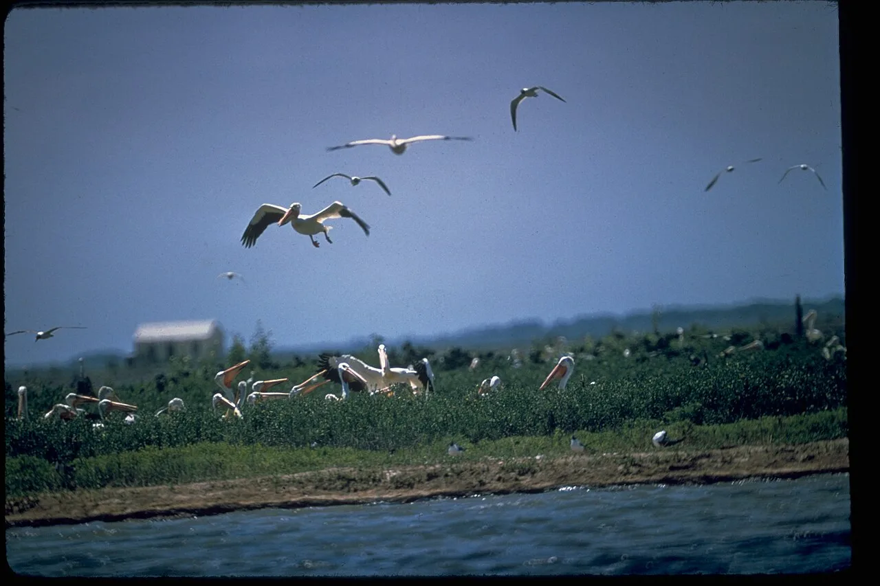
Padre Island National Seashore · Gulf Coast · Texas
The longest undeveloped barrier island in the world, featuring 70 miles of protected Gulf dunes, sea turtle nesting grounds, and shell-strewn sandbars.
Photo: National Park Service Digital Image Archives · Public domain
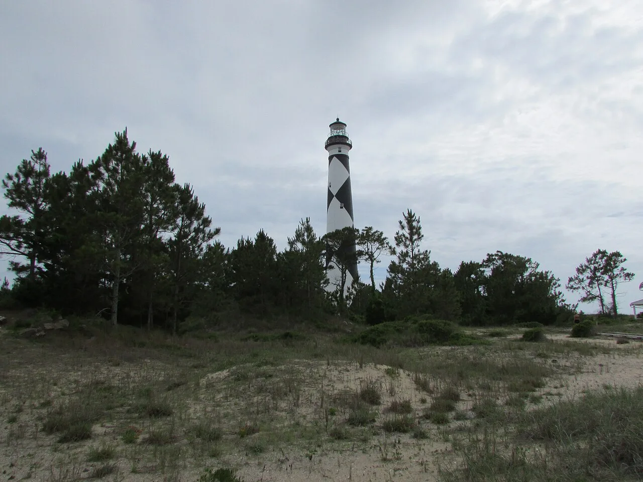
Cape Lookout National Seashore (Outer Banks) · Atlantic & Gulf Coasts · North Carolina
56 miles of undeveloped boat-access barrier island beaches beneath the iconic black-and-white diamond Cape Lookout Lighthouse.
Photo: DrStew82 · CC BY-SA 4.0