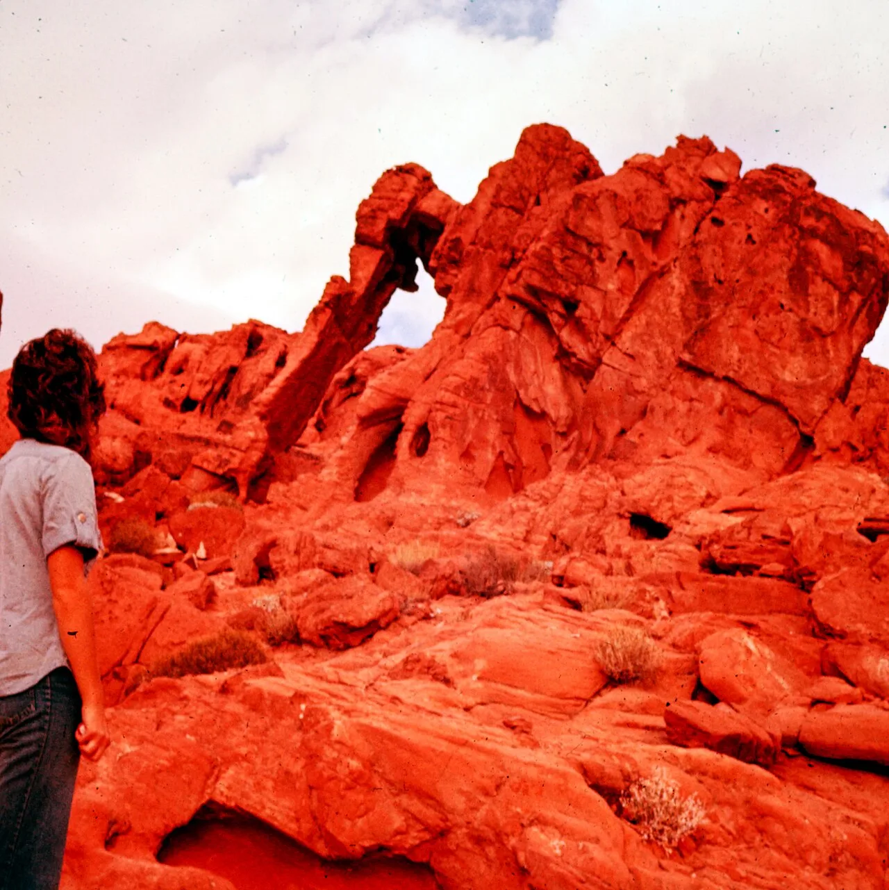
Arch
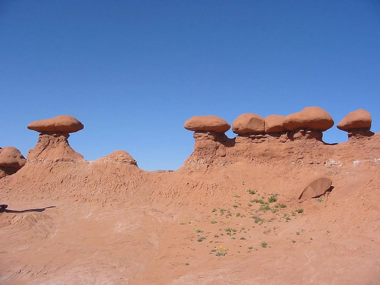
Valley of Fire State Park · Mojave Desert · Nevada
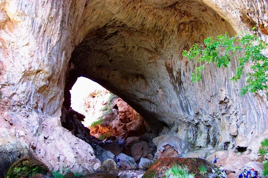
Valley of Fire Elephant Rock & Atlatl Rock
Remarkable natural sandstone elephant arch formation and prehistoric ancient petroglyph panels on Aztec Sandstone cliffs.
- Route
- 1.4 mi
- Climb
- 148 ft
Browse & Discover
Filter by activity, state, region, dog policy, or route effort — or use the interactive map below to find waterfalls, trails, beaches, bikeways, skateparks, and campgrounds near any location.
729 of 2,051 places
Drag to pan. Double-click, pinch or scroll to zoom. Keyboard: arrow keys and +/−. Cards below remain available.
Loading map… Browse the spot cards below at any time.
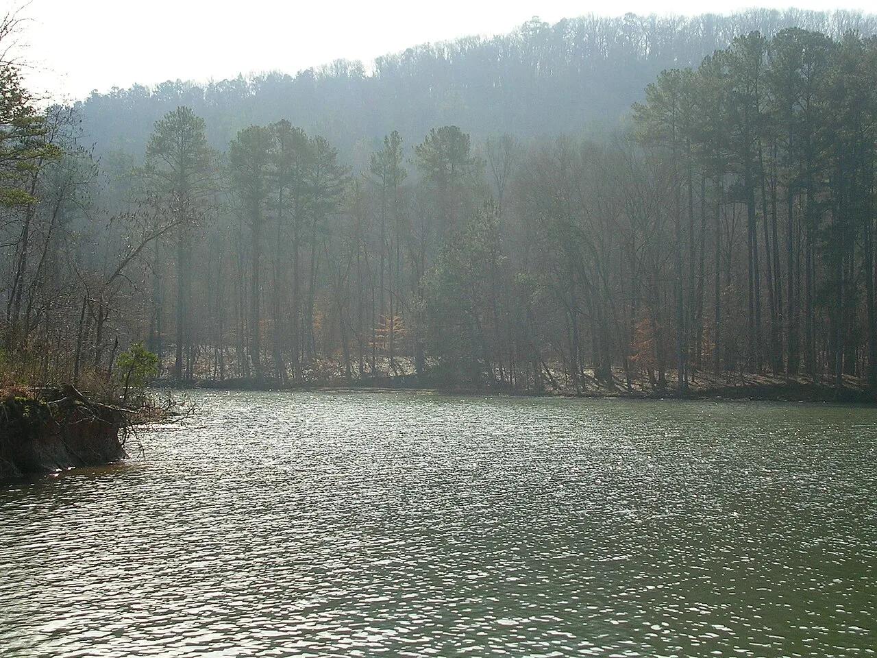
Buck's Pocket State Park (Sand Mountain) · Appalachian & Blue Ridge · Alabama
800-foot sheer sandstone pocket canyon carved into the edge of Sand Mountain overlooking Little Sauty Creek and Lake Guntersville.
Photo: benuski from Richmond, VA, USA · CC BY-SA 2.0
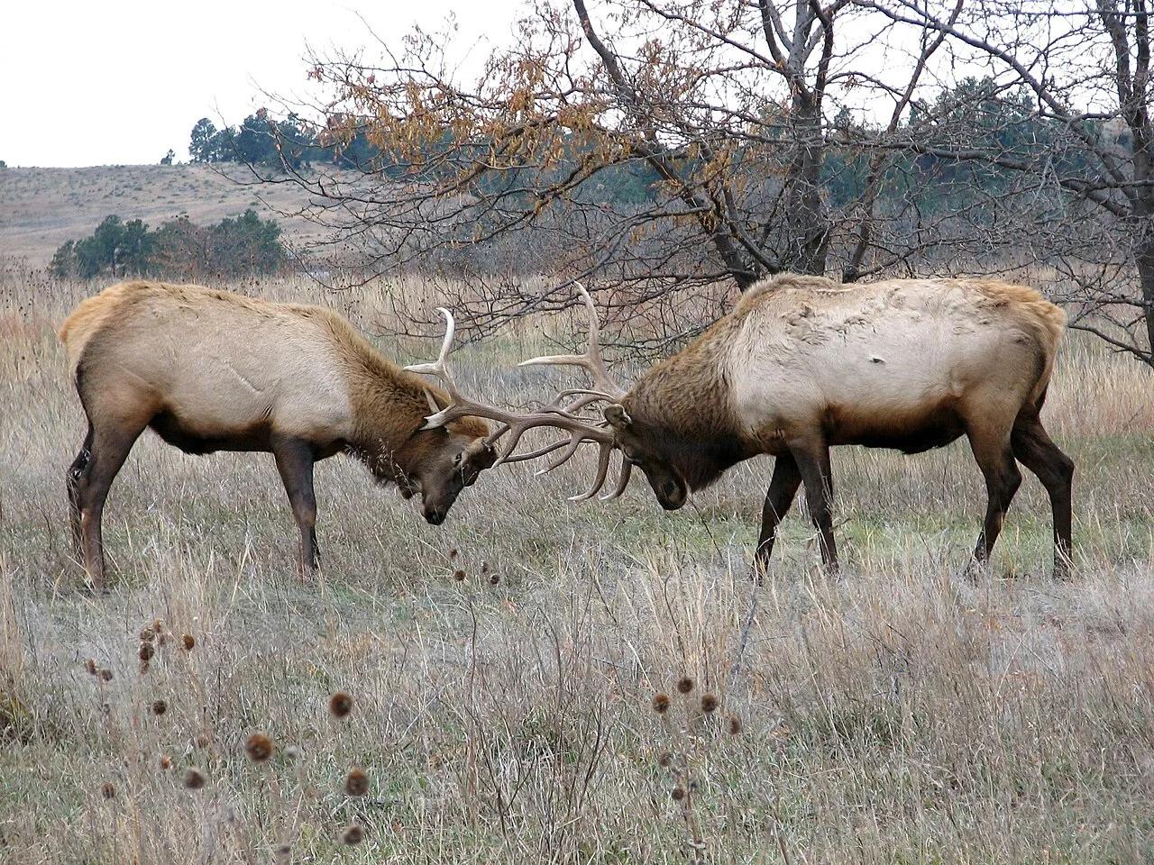
Fort Niobrara National Wildlife Refuge (Valentine) · Great Plains & Heartland · Nebraska
Spring-fed canyon waterfall and easy 9-mile scenic river float past Brule clay cliffs, ponderosa pines, and paper birches.
Photo: U.S. Fish and Wildlife Service Headquarters · Public domain
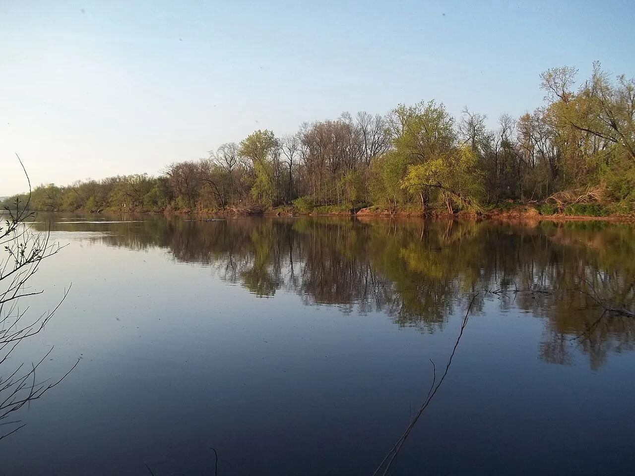
D&R Canal State Park (Princeton to Frenchtown) · Northeast & New England · New Jersey
70-mile crushed-stone linear park bikeway and flatwater canoe canal tracing historic 1830s stone locktender houses.
Photo: Gary Miotla · CC BY 3.0
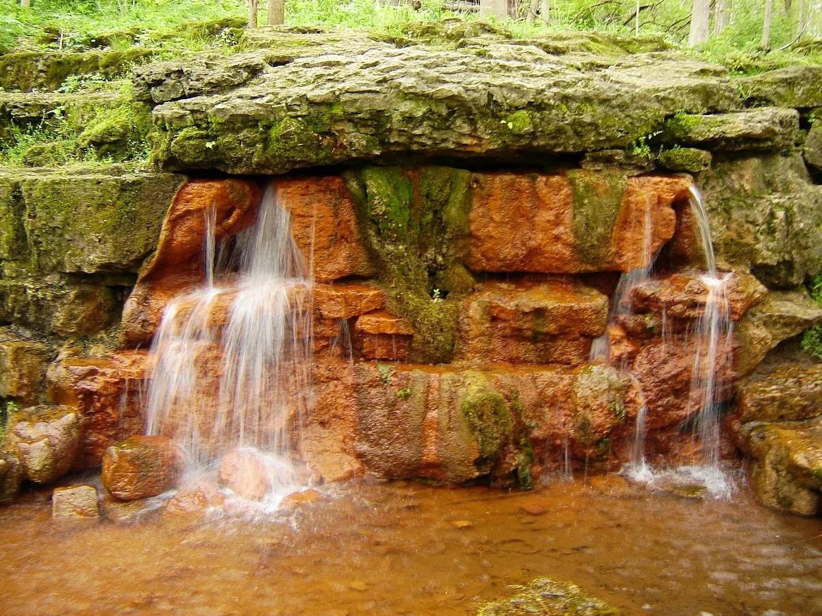
Glen Helen Nature Preserve & John Bryan State Park · Midwest & Great Lakes · Ohio
Iron-rich orange travertine spring mound, Talus Trail limestone cliffs, and Little Miami Scenic Bikeway through a 1,000-acre gorge.
Photo: Ilona Loser · CC BY-SA 3.0
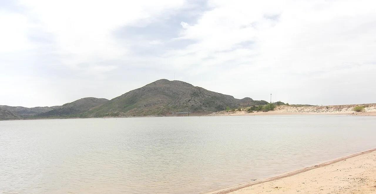
Quartz Mountain State Park (Lone Wolf) · Great Plains & Heartland · Oklahoma
500-million-year-old Cambrian pink granite dome rising above southwestern Oklahoma plains and the sparkling waters of Lake Altus-Lugert.
Photo: Geotechnogeek · CC BY-SA 3.0
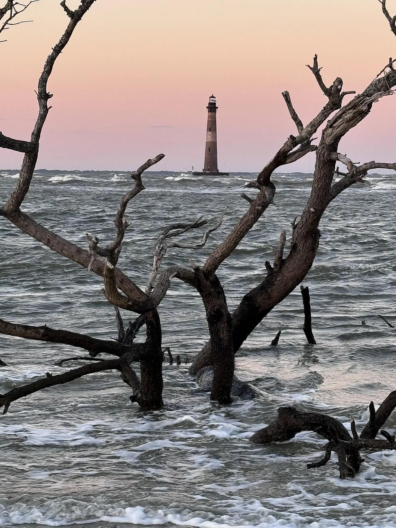
Folly Beach County Park (Charleston) · Atlantic & Gulf Coasts · South Carolina
Charleston's premier surf break paired with a graffiti-art boardwalk walk to an offshore 1876 brick lighthouse.
Photo: DDD1981 · CC BY-SA 4.0
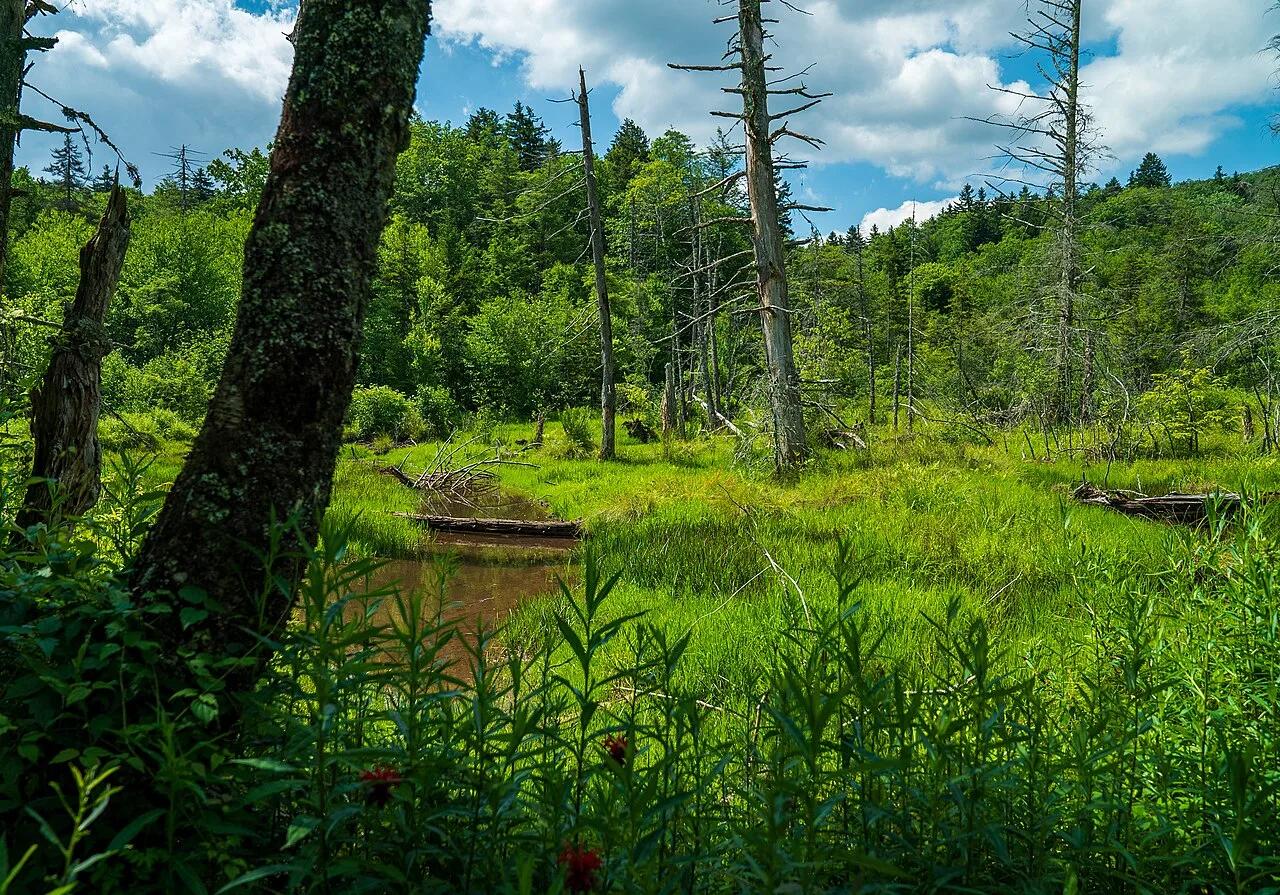
Monongahela National Forest · Appalachian & Blue Ridge · West Virginia
Half-mile raised boardwalk across four boreal-relic sphagnum peat bogs filled with pitcher plants, sundews, and orchids at 3,400 feet.
Photo: Forest Service Photography · Public domain
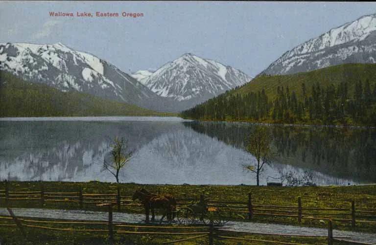
Wallowa Lake State Park / Eagle Cap Wilderness · Pacific Northwest · Oregon
Perfect ribbon lake dammed by textbook lateral glacial moraines beneath the 9,800-foot peaks of the Wallowa Mountains.
Photo: Unknown authorUnknown author · Public domain
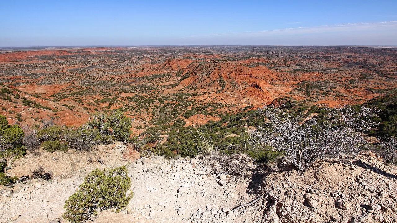
Caprock Canyons State Park · Texas Panhandle · Texas
Challenging climb along the high red sandstone escarpment overlooking the canyon rim, home to the official Texas State Bison Herd and secluded Fern Cave.
Photo: Larry D. Moore · CC BY 4.0
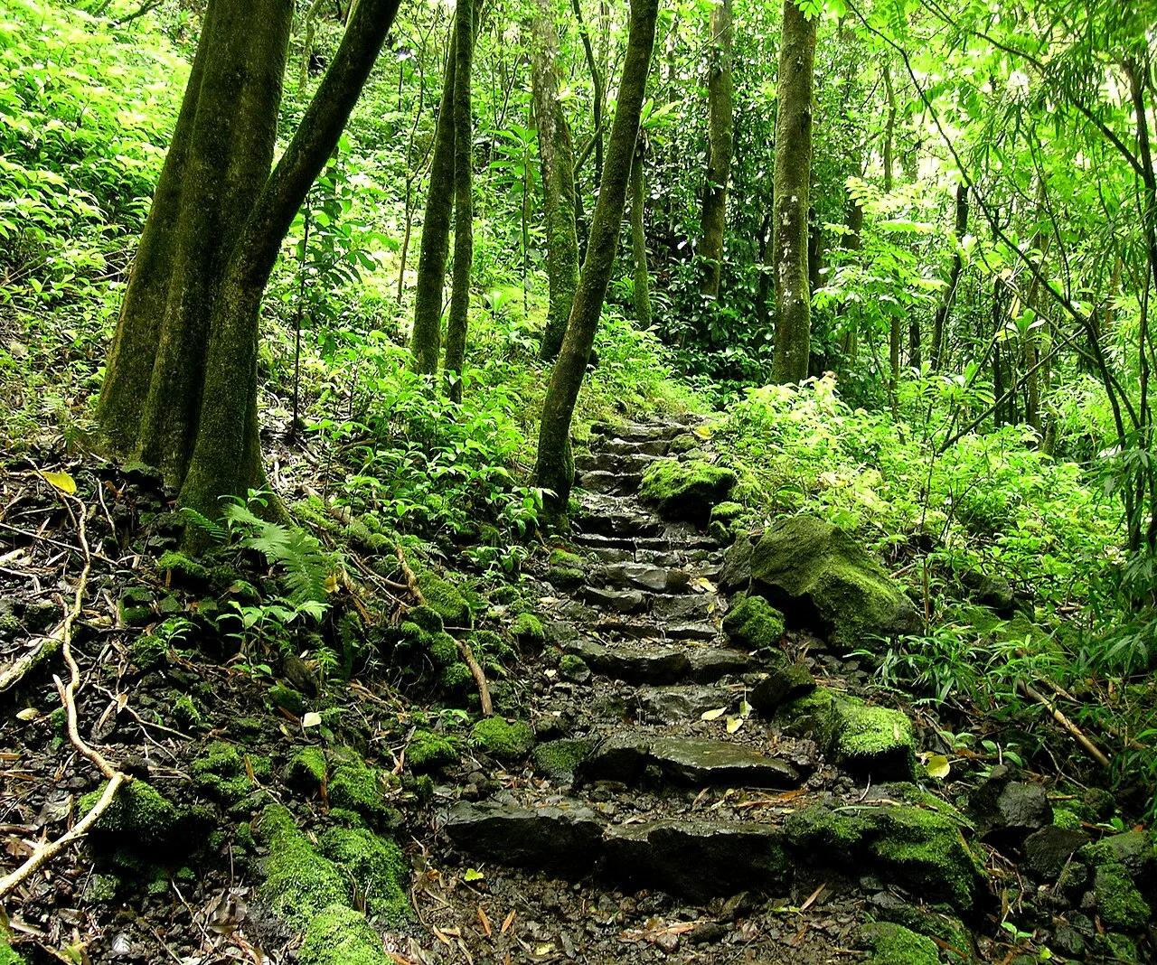
Haleakalā National Park (Kīpahulu District, Maui) · Hawaiian Islands · Hawaii
Boardwalk through a singing giant bamboo forest above Ohe'o Gulch to the 400-foot sheer lava cliff of Waimoku Falls.
Photo: Angela Sevin from SF Bay Area, US · CC BY 2.0
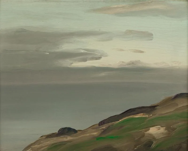
Monhegan Island Associates Wilderness Preserve · Midcoast Maine · Maine
Dramatic 160-foot headland cliffs crash against open North Atlantic swells 10 miles out to sea, legendary among maritime painters.
Photo: Robert Henri · Public domain
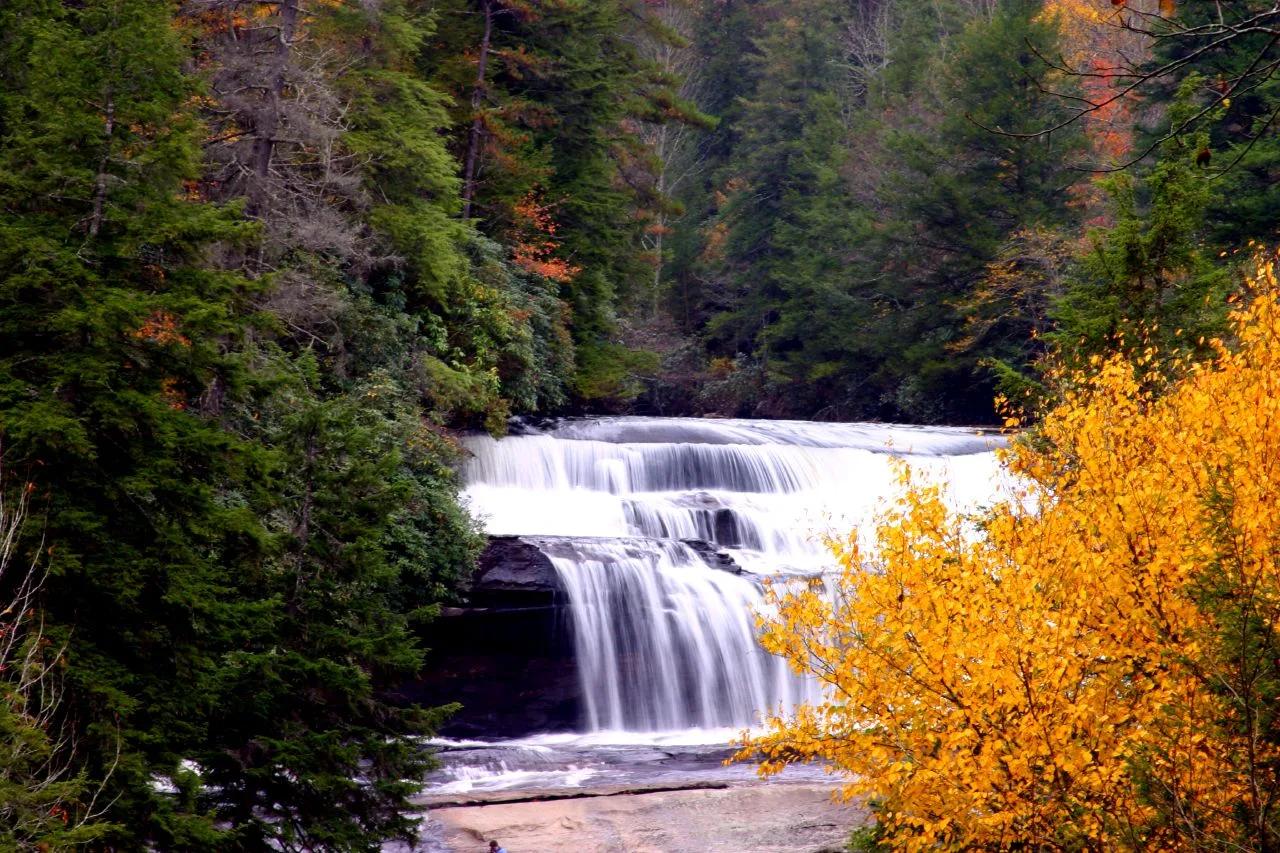
DuPont State Recreational Forest · Appalachian & Blue Ridge · North Carolina
Three major waterfalls along the Little River within three miles—a 125-foot three-step cascade, a 120-foot granite slide, and a wide swimming basin.
Photo: Gary Stevens from Asheville NC · CC BY 2.0
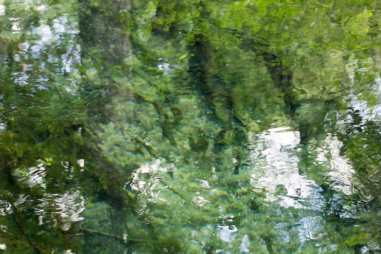
Edward Ball Wakulla Springs State Park · Atlantic & Gulf Coasts · Florida
One of the world's largest and deepest freshwater artesian springs, featuring a historic 22-foot wooden diving tower, West Indian manatees, and cypress swamp trails.
Photo: hayden.dunsel · CC BY 4.0
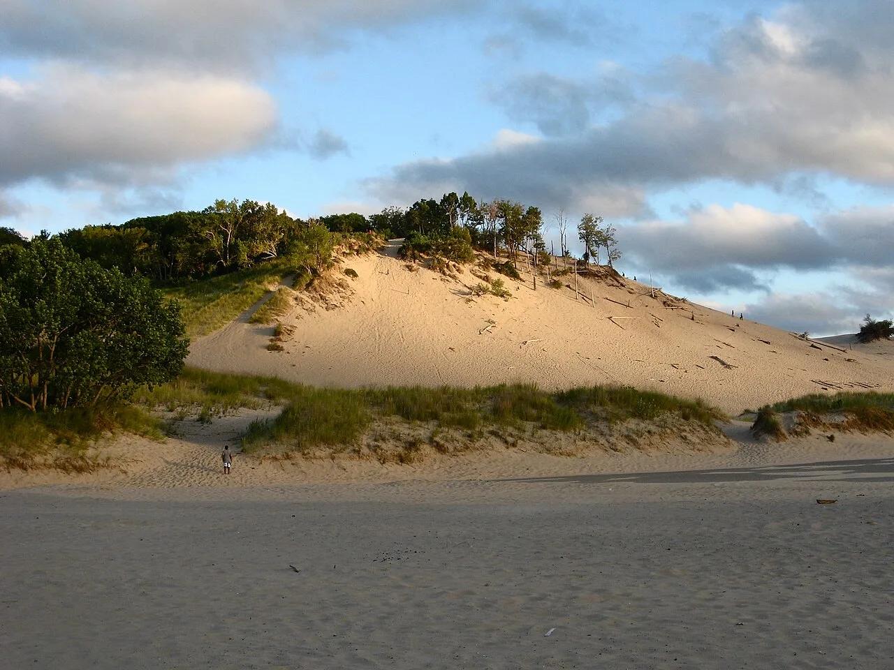
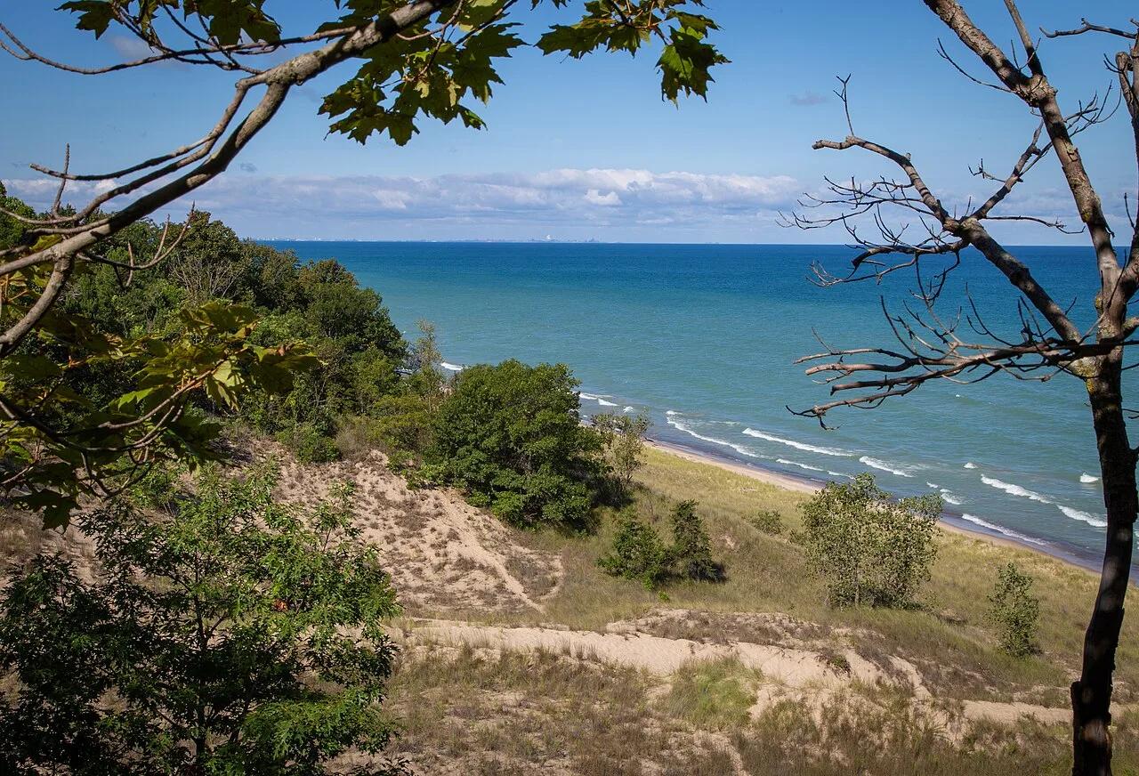
Warren Dunes State Park · Southwest Michigan · Michigan
Massive 240-foot open sand dunes rising steeply from three miles of Lake Michigan shoreline, famous for the exhilarating Tower Hill sprint and sandboarding.
Photo: hakkun · CC BY-SA 3.0
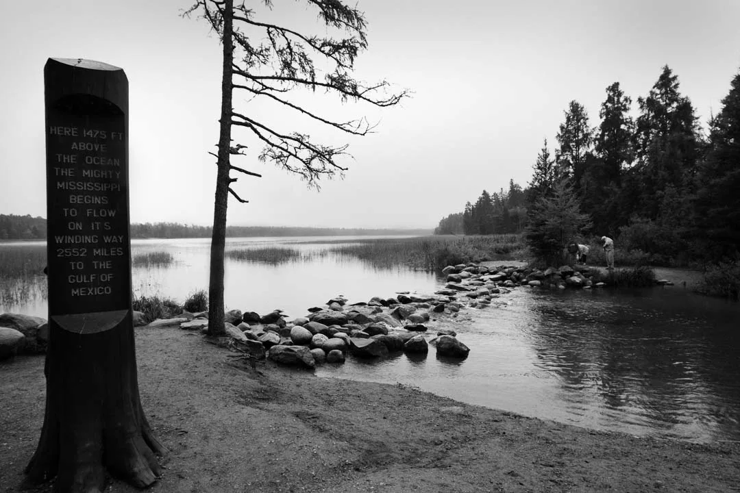
Itasca State Park · North Central · Minnesota
The historic geographical birthplace of North America's greatest river, where visitors step across knee-deep rock ripples leaving pristine Lake Itasca.
Photo: Steve Evans from Citizen of the World · CC BY 2.0
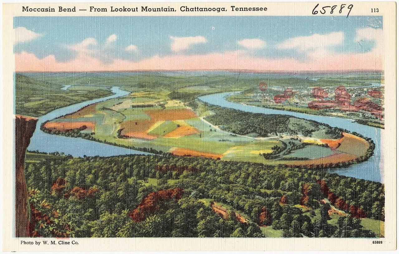
Chickamauga and Chattanooga National Military Park · Appalachian & Blue Ridge · Tennessee
West-facing sandstone cliff ledge high atop Lookout Mountain looking down on the Moccasin Bend horseshoe of the Tennessee River.
Photo: Pub. by W. M. Cline Co., Chattanooga, Tennessee · Public domain
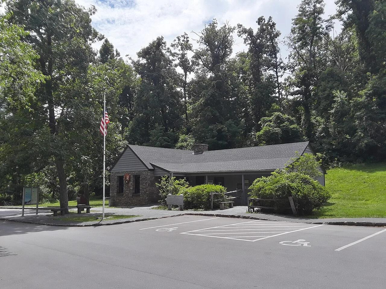
George Washington National Forest / Blue Ridge Parkway · Appalachian & Blue Ridge · Virginia
Jagged greenstone cliff outcrop at the northern gateway of the Blue Ridge Parkway overlooking both the Shenandoah and Rockfish valleys.
Photo: Ser Amantio di Nicolao · Public domain
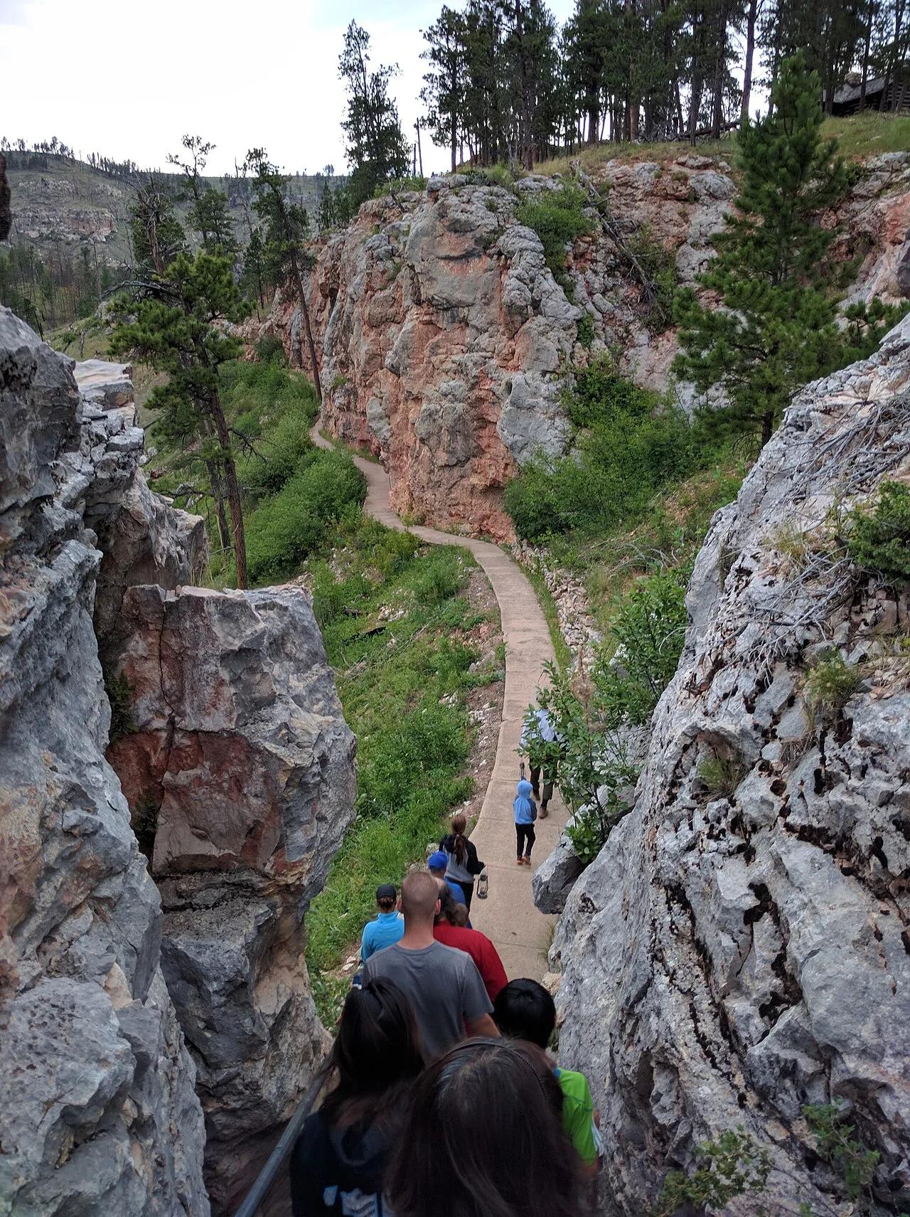
Jewel Cave National Monument (Custer) · Black Hills · South Dakota
The world's third longest cave system with over 215 surveyed miles of calcite spar crystals, framed above ground by Ponderosa pine canyon trails.
Photo: Runner1928 · CC BY-SA 4.0
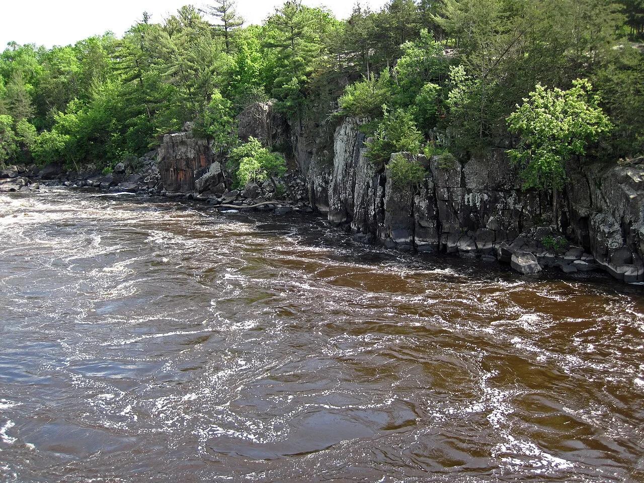
Interstate State Park (St. Croix Falls) · Midwest & Great Lakes · Wisconsin
World's deepest concentration of glacial whirlpool potholes drilled into billion-year-old black basalt lava cliffs above the St. Croix National Scenic Riverway.
Photo: James St. John · CC BY 2.0
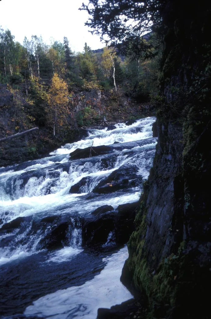
Chugach National Forest · Kenai Peninsula · Alaska
Broad canyon cascade where thousands of sockeye salmon leap up raging rapids while brown and black bears fish the falls.
Photo: Department of the Interior. U.S. Fish and Wildlife Service. National Conserva... · Public domain
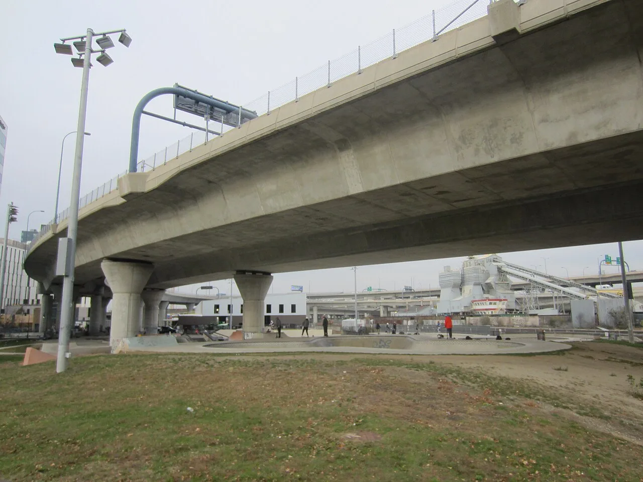
Charles River Basin / North Point Park · Greater Boston · Massachusetts
A premier 40,000-square-foot street plaza and deep bowl skatepark nestled beneath the monumental Zakim Bunker Hill Bridge ramps.
Photo: Another Believer · CC BY-SA 4.0
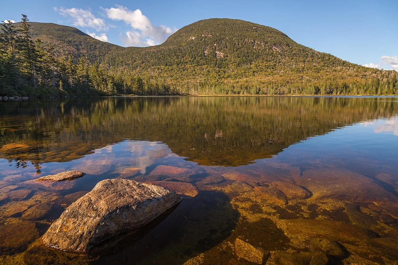
Franconia Notch State Park (White Mountain NF) · Northeast & New England · New Hampshire
High-elevation bog-ringed mountain tarn with a classic AMC backcountry hut reflecting the sweeping granite crest of Franconia Ridge.
Photo: Christian Collins · CC BY-SA 2.0
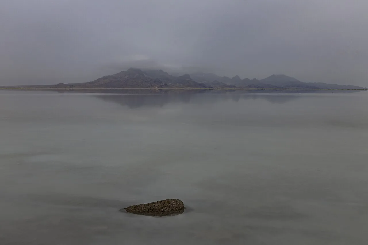
Bonneville Salt Flats Special Recreation Management Area · American Southwest · Utah
30,000-acre expanse of blinding-white polygonal halite salt crust left behind by Pleistocene Lake Bonneville.
Photo: Janusz Sobolewski from Mississauga, Ontario, Canada · CC BY 2.0