Peak
3 photosZion National Park · Utah & Mighty 5 · Utah
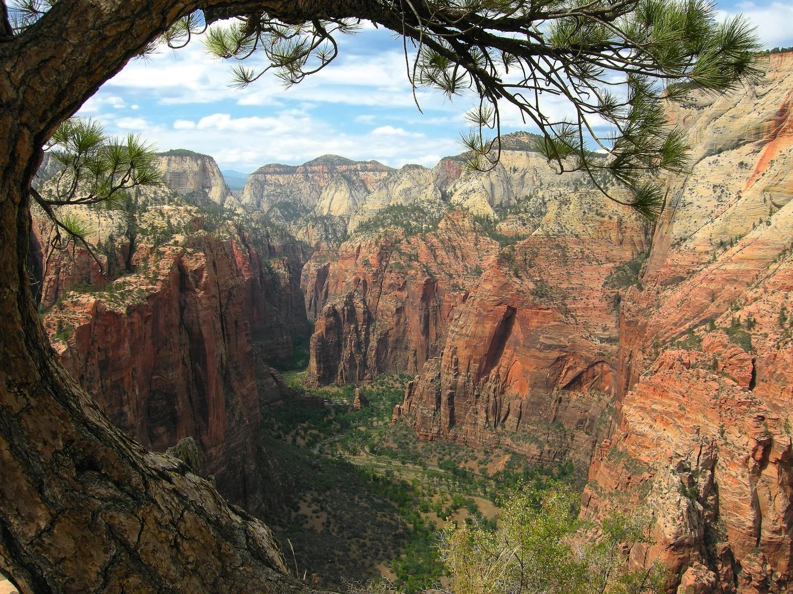
Angels Landing
A sheer sandstone fin rising 1,488 feet above the Virgin River with an iconic chained ridge traverse.
- Route
- 5.4 mi
- Climb
- 1,486 ft
Browse & Discover
Filter by activity, state, region, dog policy, or route effort — or use the interactive map below to find waterfalls, trails, beaches, bikeways, skateparks, and campgrounds near any location.
667 of 2,051 places
Drag to pan. Double-click, pinch or scroll to zoom. Keyboard: arrow keys and +/−. Cards below remain available.
Loading map… Browse the spot cards below at any time.
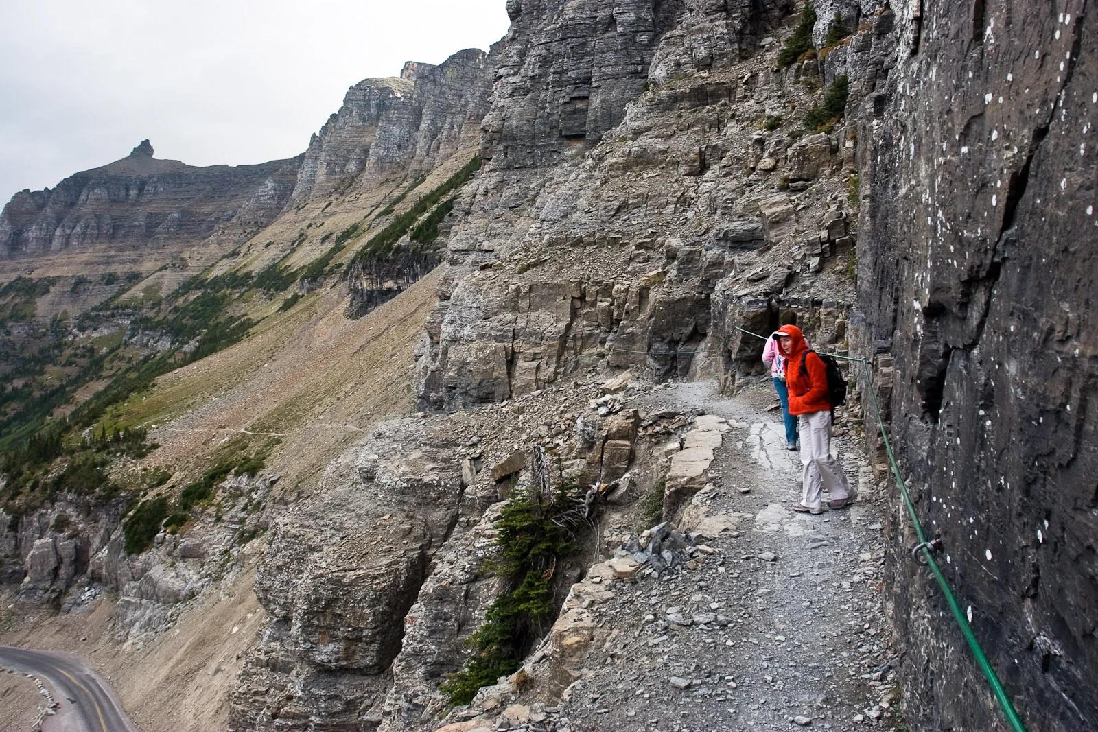
Glacier National Park · Yellowstone, Tetons & Northern Rockies · Montana
An exhilarating cliffside alpine traverse along the Garden Wall carved high above Going-to-the-Sun Road to Granite Park Chalet.
Photo: Greg Willis from Denver, CO, usa · CC BY-SA 2.0
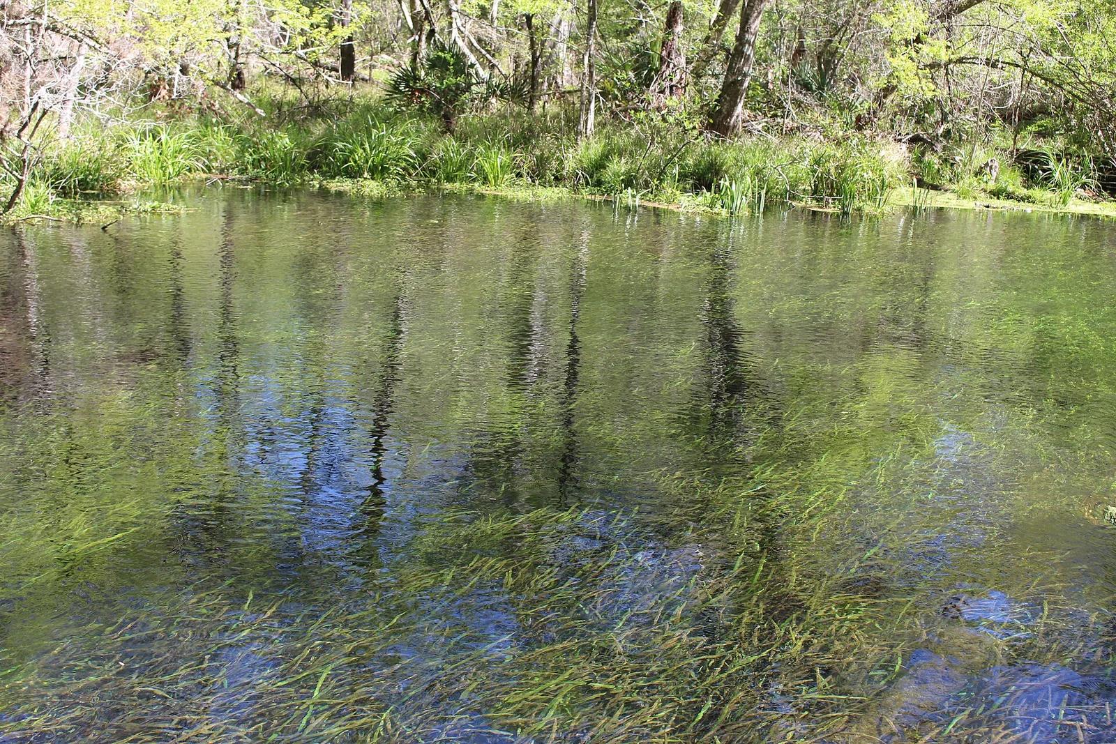
Ichetucknee Springs State Park · Florida & Southeast · Florida
A crystal-clear spring-fed river maintaining a constant 72 degrees year-round, shaded by cypress trees and home to Florida manatees.
Photo: Michael Rivera · CC BY-SA 4.0
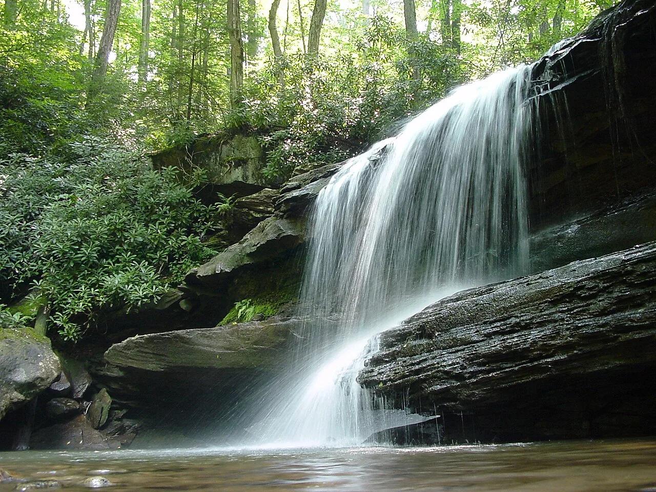
Ohiopyle State Park (Laurel Highlands) · Northeast & New England · Pennsylvania
20-foot waterfall spanning the entire Youghiogheny River beside the high trestle bridges of the Great Allegheny Passage bikeway.
Photo: Hubert Stoffels from Pittsburgh, USA · CC BY 2.0
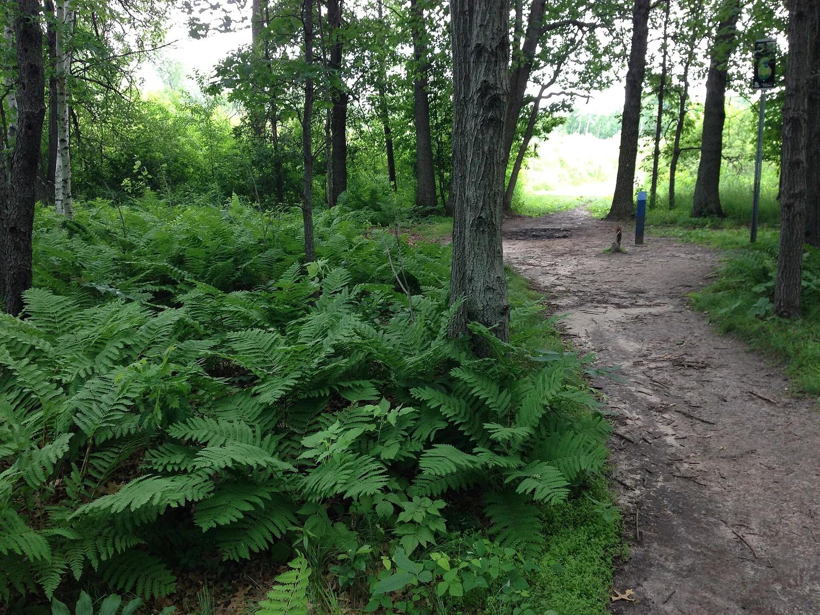
Blue Ribbon Pines · Midwest & Great Lakes · Minnesota
Consistently ranked in the world's top courses, famous for its tunnel shots through towering red pines and manicured fairways.
Photo: Runner1928 · CC BY-SA 4.0
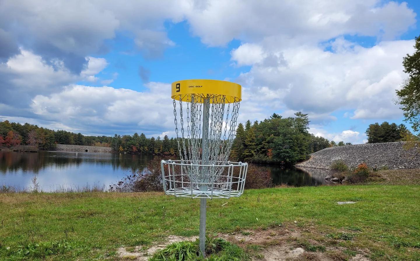
Maple Hill Disc Golf · New England & Adirondacks · Massachusetts
Widely recognized as the greatest disc golf course on planet earth, featuring historic water carries and Christmas tree fairways.
Photo: N. Giles, USACE · Public domain
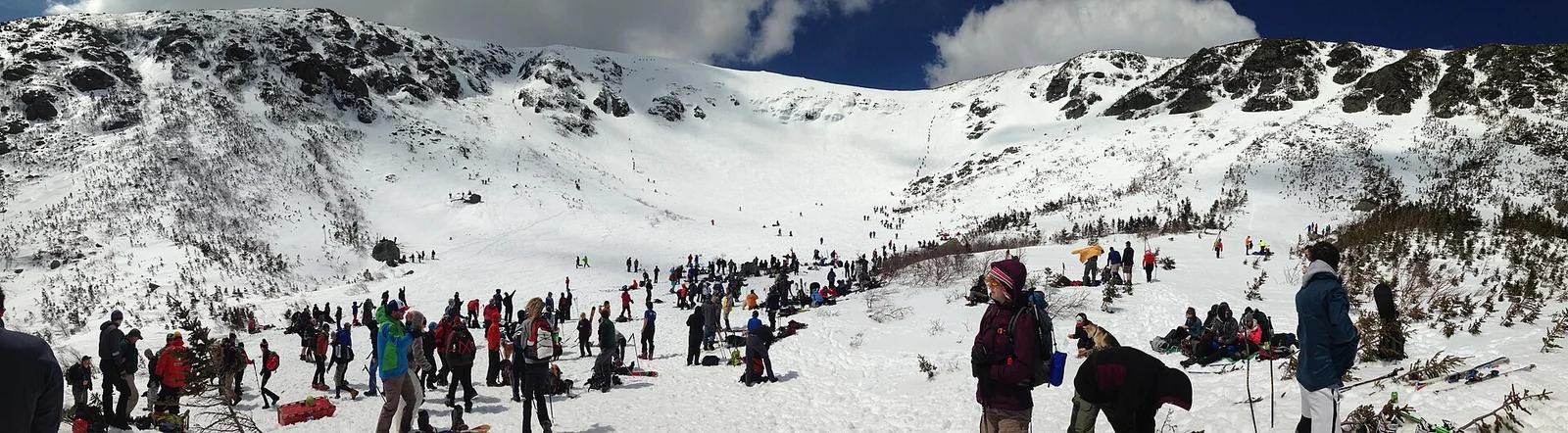
White Mountain National Forest · New England & Adirondacks · New Hampshire
Climbs through the legendary glacial cirque of Tuckerman Ravine to the wind-battered 6,288-foot summit of Mount Washington.
Photo: jjvoll · CC BY-SA 3.0
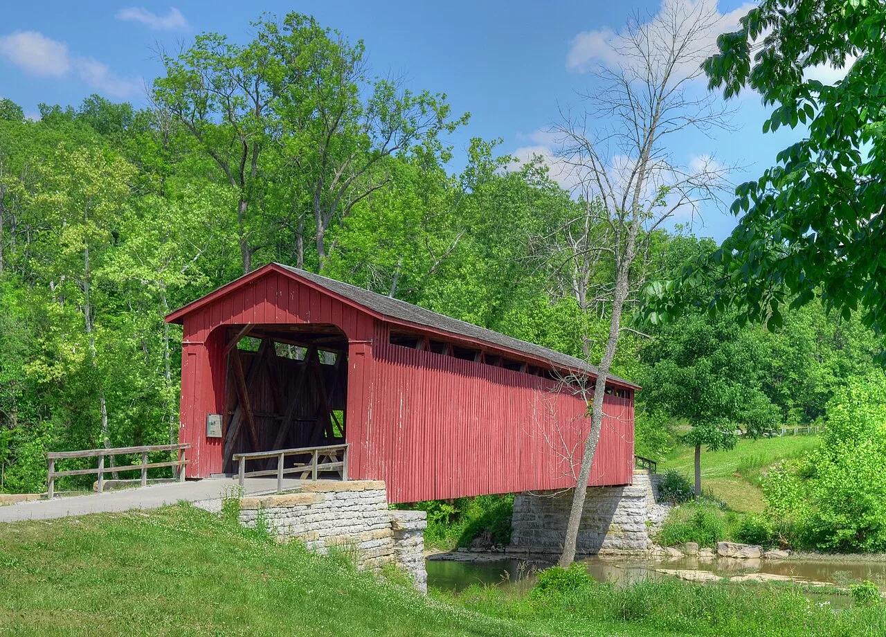
Cataract Falls State Recreation Area (Cagles Mill Lake) · Central Indiana · Indiana
The largest waterfall by water volume in Indiana, dropping over Upper and Lower tiered limestone ledges spanned by a historic 1876 covered bridge.
Photo: Rodney Campbell · CC BY 2.0
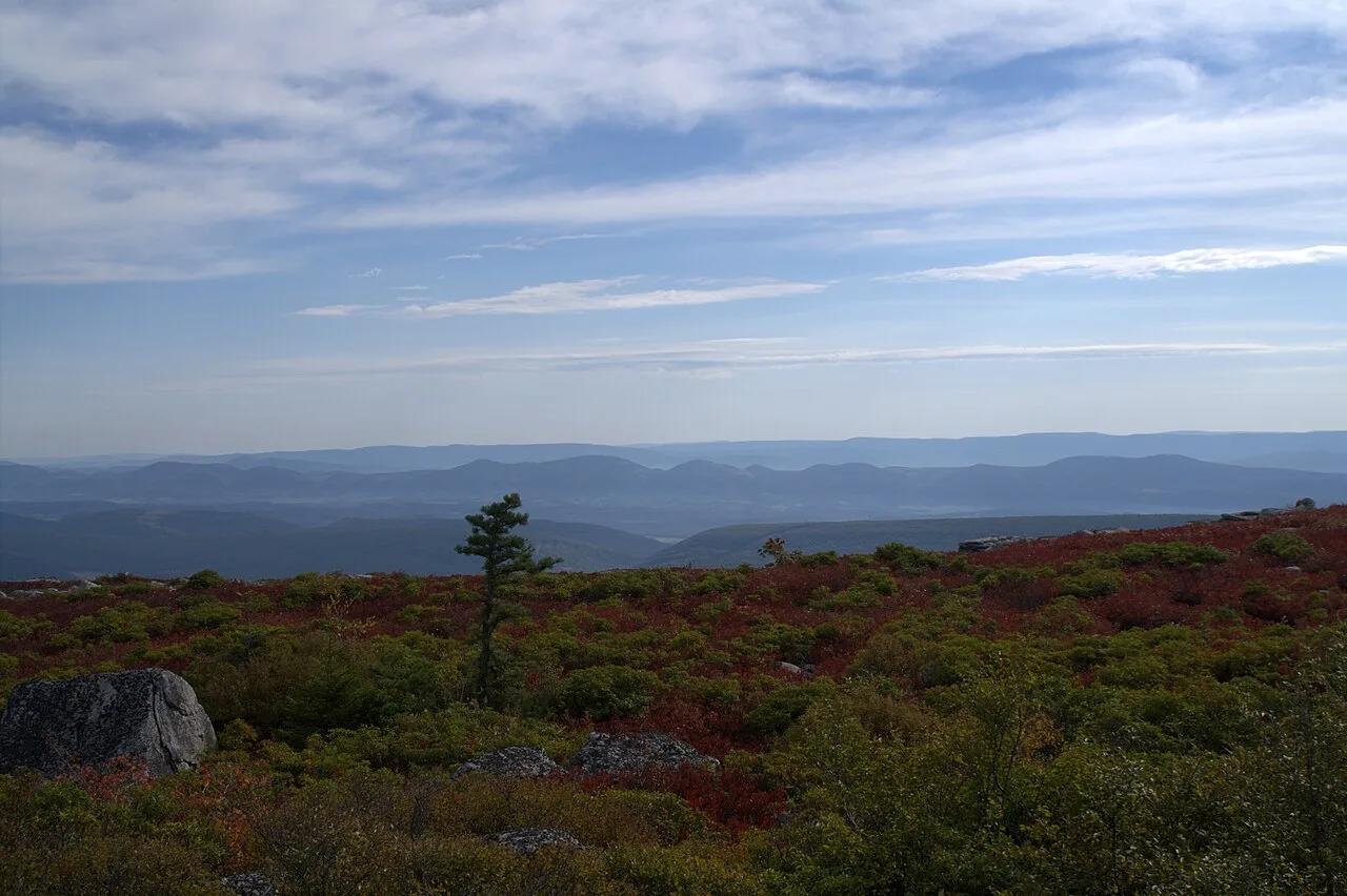
Dolly Sods Wilderness (Monongahela NF) · Appalachian & Blue Ridge · West Virginia
Sub-arctic Canadian tundra plateau at 4,000 feet featuring wind-flagged one-sided red spruces, blueberry barrens, and puddingstone boulders.
Photo: Aneta Kaluzna · CC BY-SA 2.5