Beach
Golden Gate National Recreation Area · San Francisco Bay Area
Stinson Beach
Marin County's premier wide sandy beach, stretching for 3.5 miles beneath the steep redwood-cloaked slopes of Mount Tamalpais.
- Route
- 2.4 mi
- Climb
- 82 ft
Browse & Discover
Filter by activity, state, region, dog policy, or route effort — or use the interactive map below to find waterfalls, trails, beaches, bikeways, skateparks, and campgrounds near any location.
108 of 2,051 places
Drag to pan. Double-click, pinch or scroll to zoom. Keyboard: arrow keys and +/−. Cards below remain available.
Loading map… Browse the spot cards below at any time.
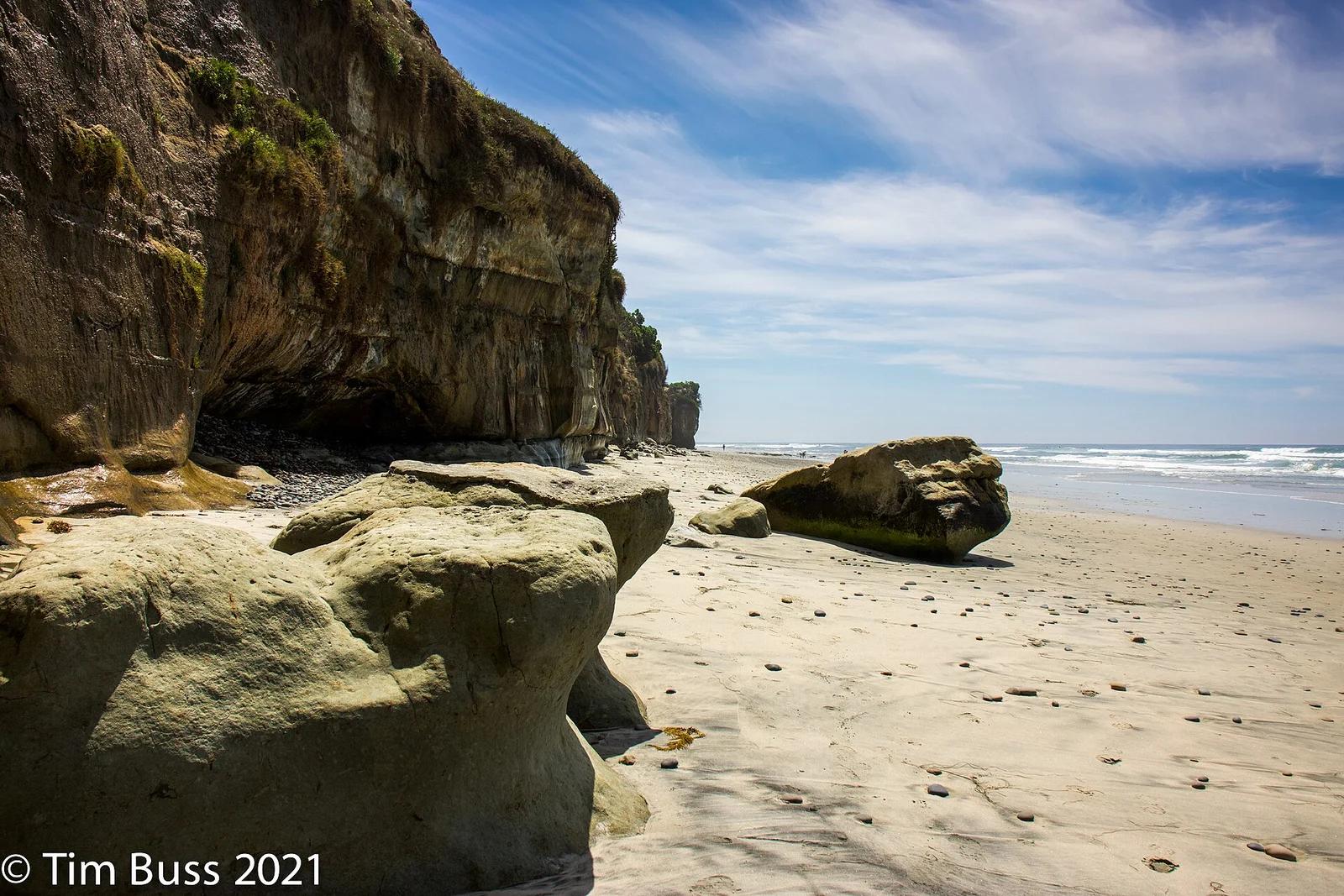
Swami's State Marine Conservation Area · San Diego
Internationally famous right-hand point break named after the clifftop Self-Realization Fellowship hermitage, immortalized in the Beach Boys' 'Surfin' U.S.A.'
Photo: Tim Buss from North County, San Diego, California, USA · CC BY 2.0
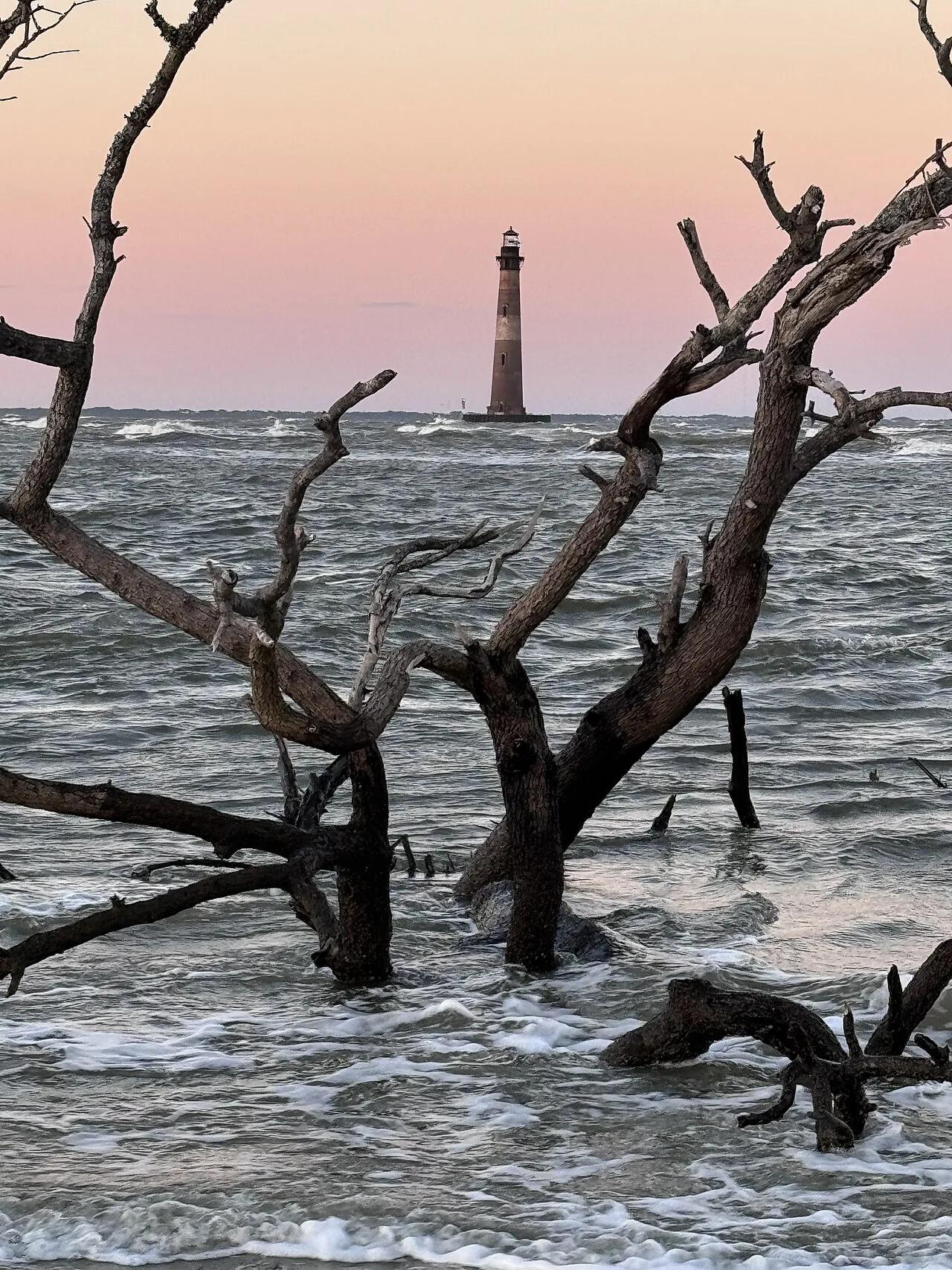
Folly Beach County Park (Charleston) · Atlantic & Gulf Coasts · South Carolina
Charleston's premier surf break paired with a graffiti-art boardwalk walk to an offshore 1876 brick lighthouse.
Photo: DDD1981 · CC BY-SA 4.0
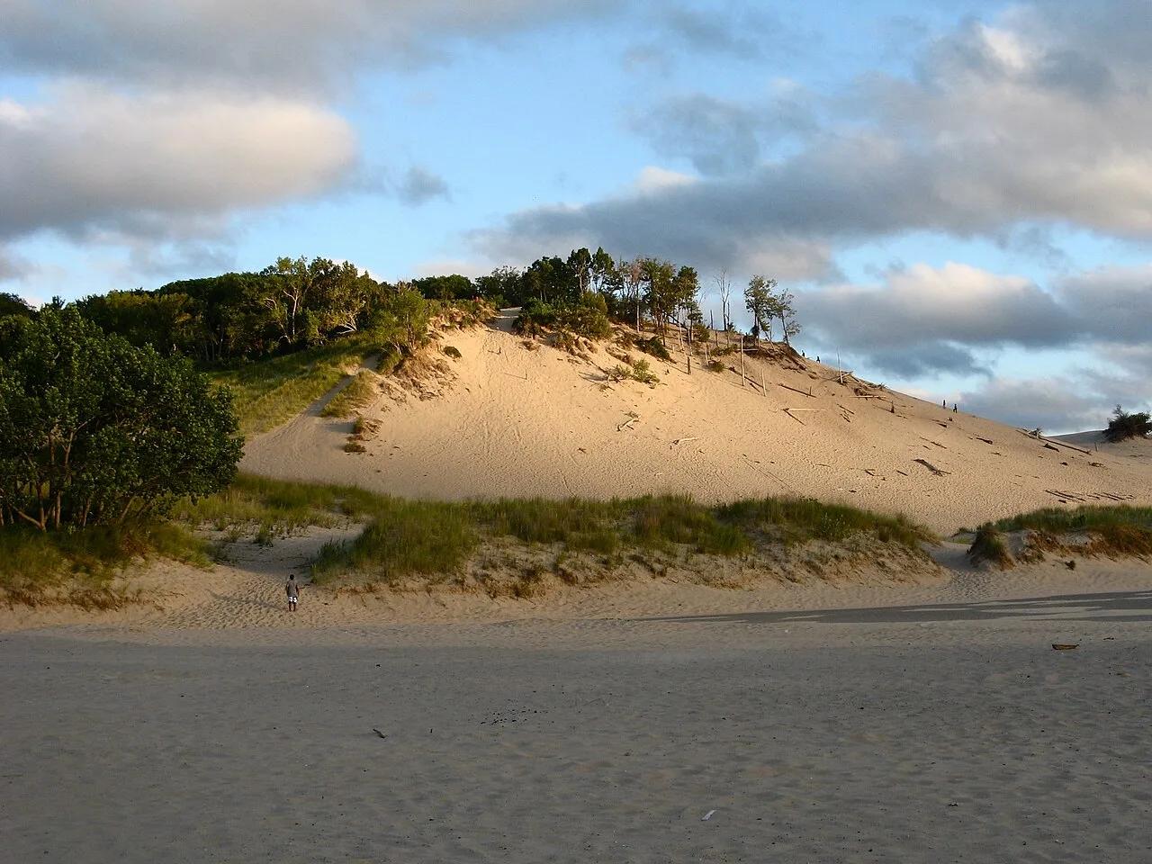
Warren Dunes State Park · Southwest Michigan · Michigan
Massive 240-foot open sand dunes rising steeply from three miles of Lake Michigan shoreline, famous for the exhilarating Tower Hill sprint and sandboarding.
Photo: hakkun · CC BY-SA 3.0
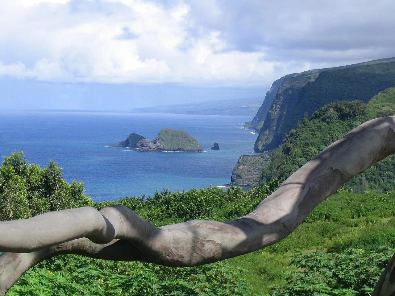
North Kohala Coast (Hawai'i Island) · Hawaiian Islands · Hawaii
Steep coastal cliff trail descending into the northernmost Kohala amphitheater valley and ironwood-fringed black sand surf beach.
Photo: Mickaw2 at English Wikipedia · Public domain
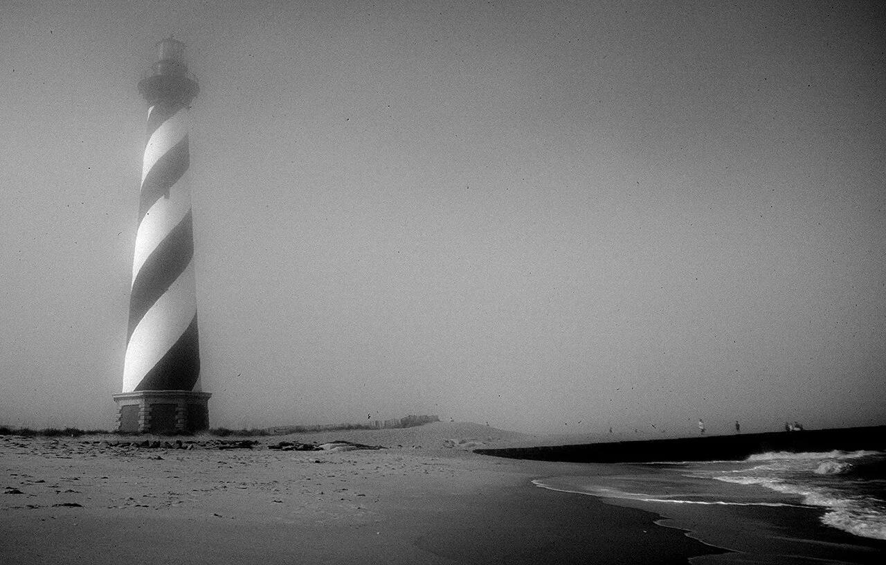
Cape Hatteras National Seashore (Outer Banks) · Atlantic & Gulf Coasts · North Carolina
America's tallest brick lighthouse (198 ft) standing above powerful Atlantic surf breaks and the maritime live-oak dunes of Buxton Woods.
Photo: Jon Gudorf Photography · CC BY-SA 2.0
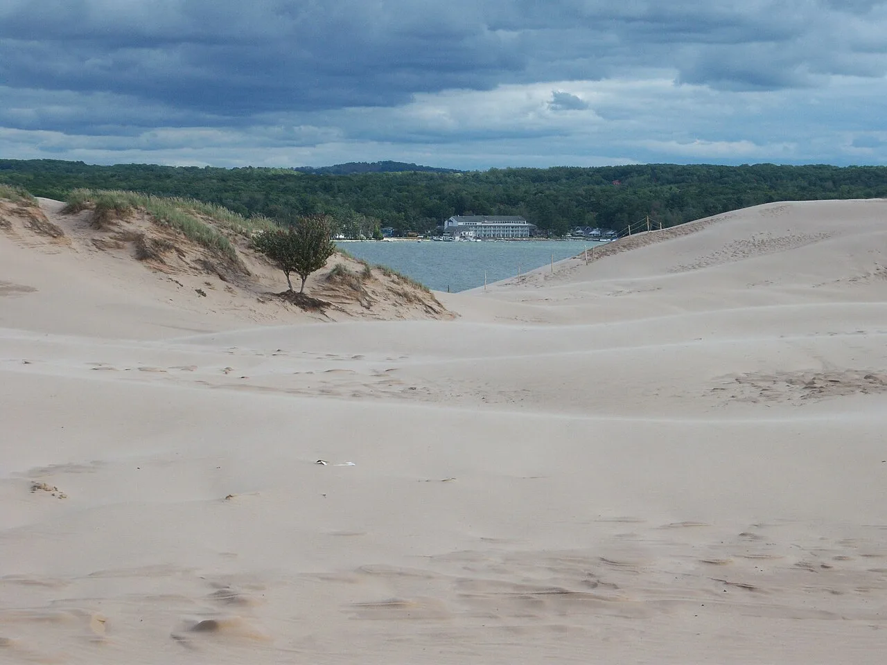
Silver Lake State Park · West Michigan · Michigan
Nearly 3,000 acres of rolling living Sahara-like sand dunes nestled between silver Lake and Lake Michigan, framed by the historic 1874 Little Sable lighthouse.
Photo: NOAA Great Lakes Environmental Research Laboratory · CC BY-SA 2.0
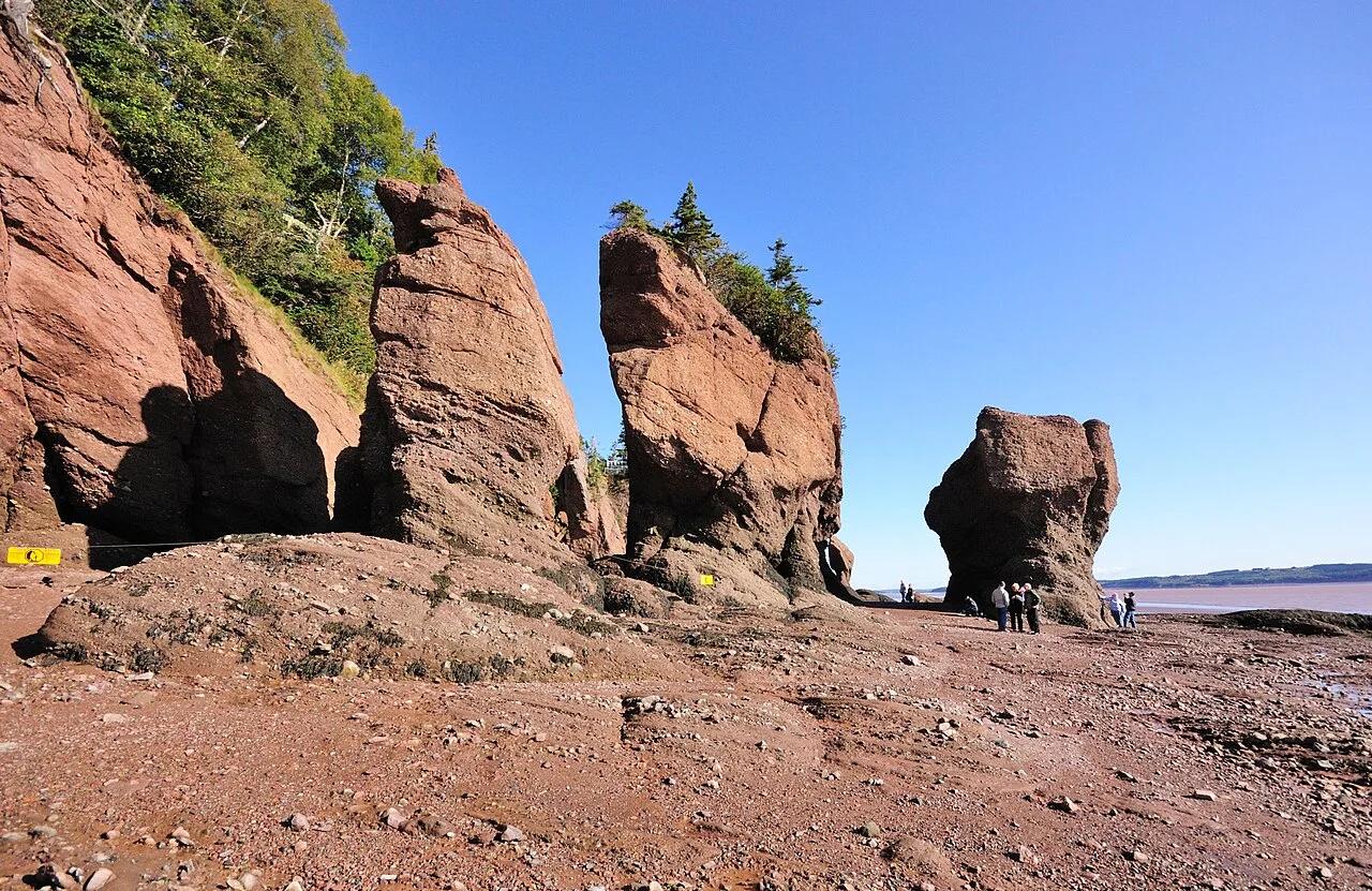
Hopewell Rocks Provincial Park (Bay of Fundy) · Atlantic Canada · Canada
Balsam-fir-topped sandstone sea stacks sculpted by the highest tides on Earth (up to 16 meters / 52 feet), explored by foot at low tide and kayak at high tide.
Photo: Wladyslaw · CC BY-SA 3.0
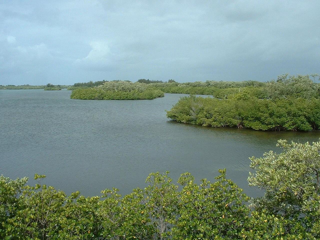
Sebastian Inlet State Park (Melbourne Beach) · Atlantic & Gulf Coasts · Florida
East Coast surfing mecca where Atlantic groundswells refract off the north jetty into powerful First Peak wedges and Indian River Lagoon kayak flats.
Photo: Stephen Lea · CC BY-SA 3.0
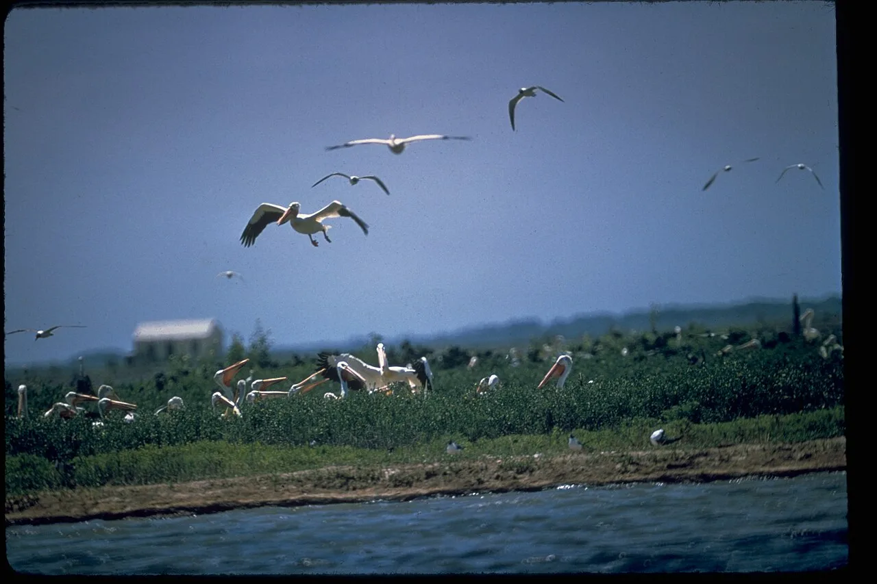
Padre Island National Seashore · Gulf Coast · Texas
The longest undeveloped barrier island in the world, featuring 70 miles of protected Gulf dunes, sea turtle nesting grounds, and shell-strewn sandbars.
Photo: National Park Service Digital Image Archives · Public domain
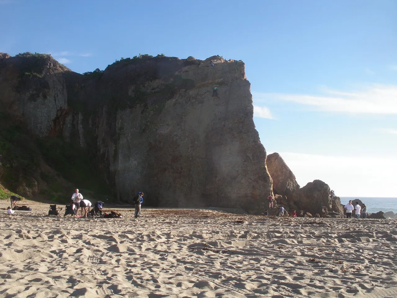
Point Dume State Beach · Santa Monica Mountains
Beach in Point Dume State Beach (Santa Monica Mountains), about 32 miles west of downtown Los Angeles. Typical outing is 1.6 miles with 210 ft of climb. Popular with local hikers and Los Angeles hiking Meetup groups.
Photo: OMCV · Public domain
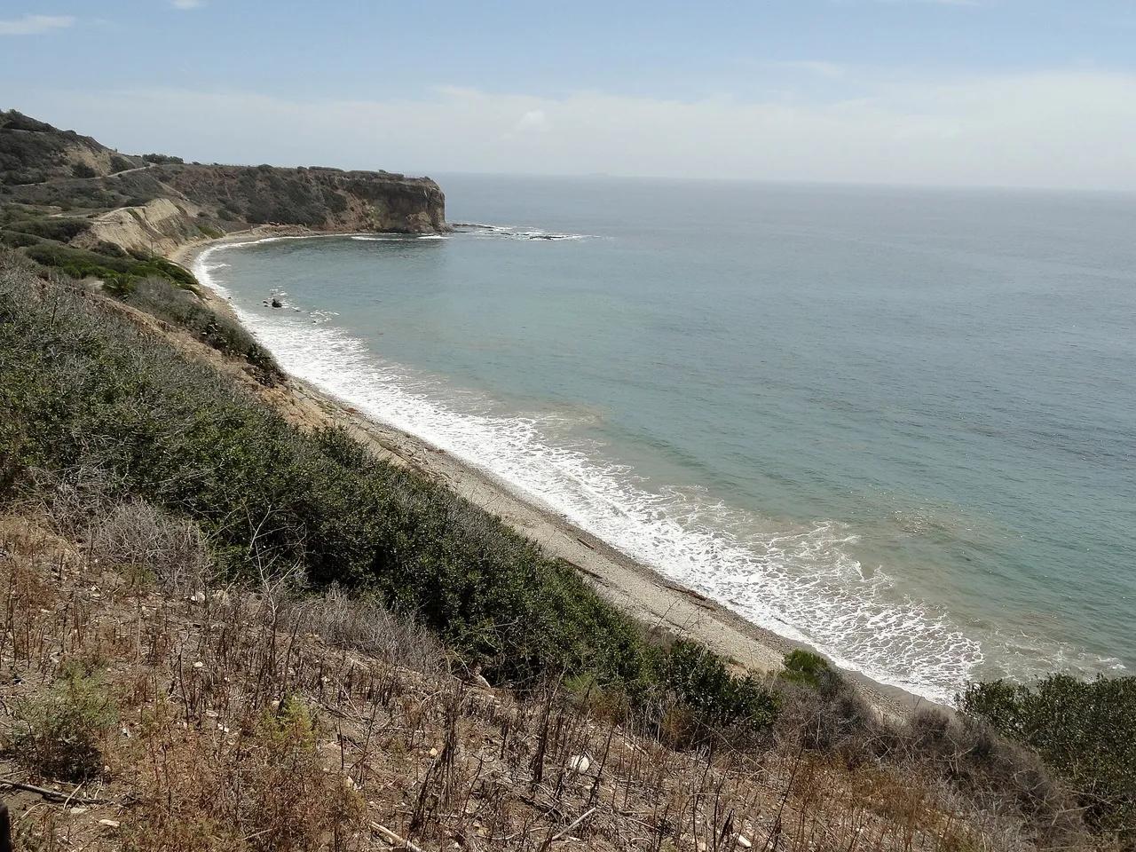
Palos Verdes Nature Preserve · Greater Los Angeles
Beach in Palos Verdes Nature Preserve (Greater Los Angeles), about 23 miles south of downtown Los Angeles. Typical outing is 2.8 miles with 390 ft of climb. Popular with local hikers and Los Angeles hiking Meetup groups.
Photo: Fabio Achilli from Milano, Italy · CC BY 2.0
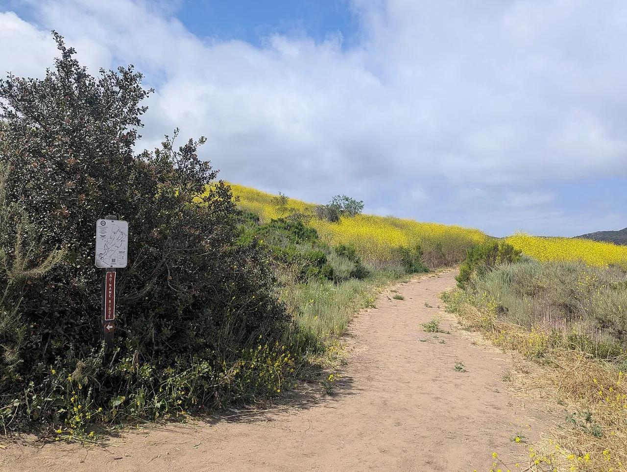
Crystal Cove State Park · Greater Los Angeles
Beach in Crystal Cove State Park (Greater Los Angeles), about 41 miles southeast of downtown Los Angeles. Typical outing is 5.2 miles with 690 ft of climb. Popular with local hikers and Los Angeles hiking Meetup groups.
Photo: Roller Coaster Philosophy · CC BY 2.0