Golden Gate National Recreation Area · Bay Area & Peninsula
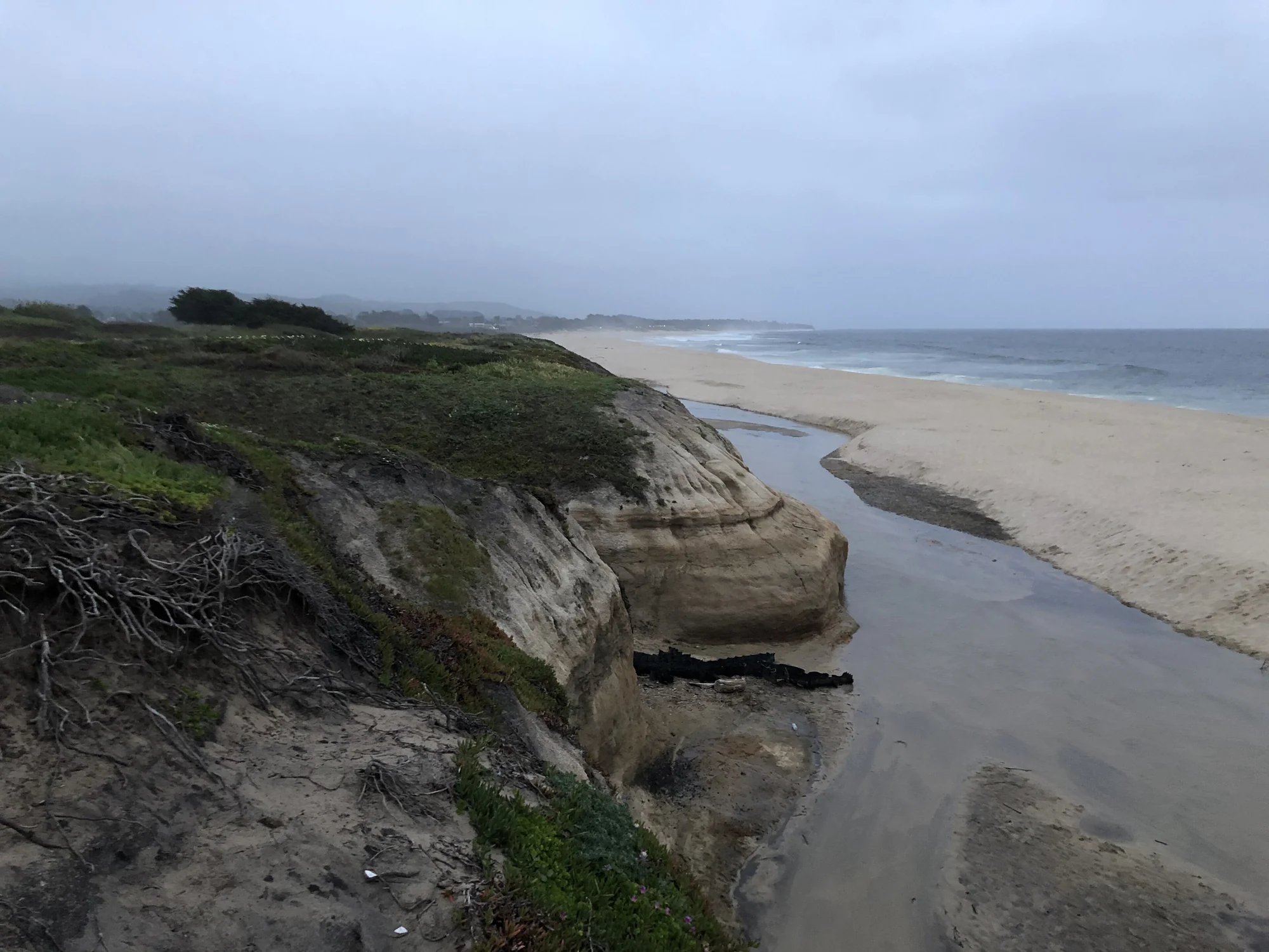
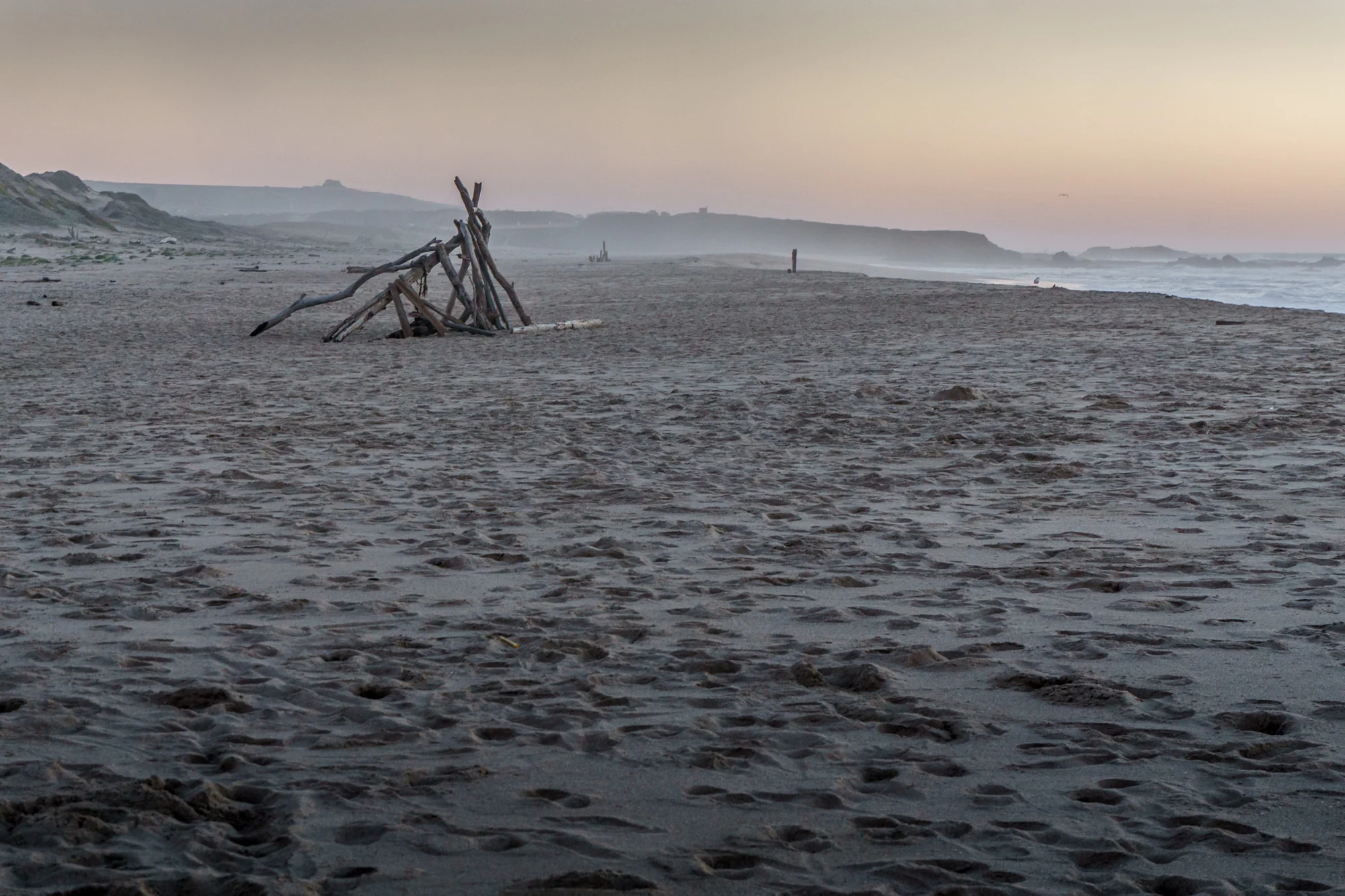
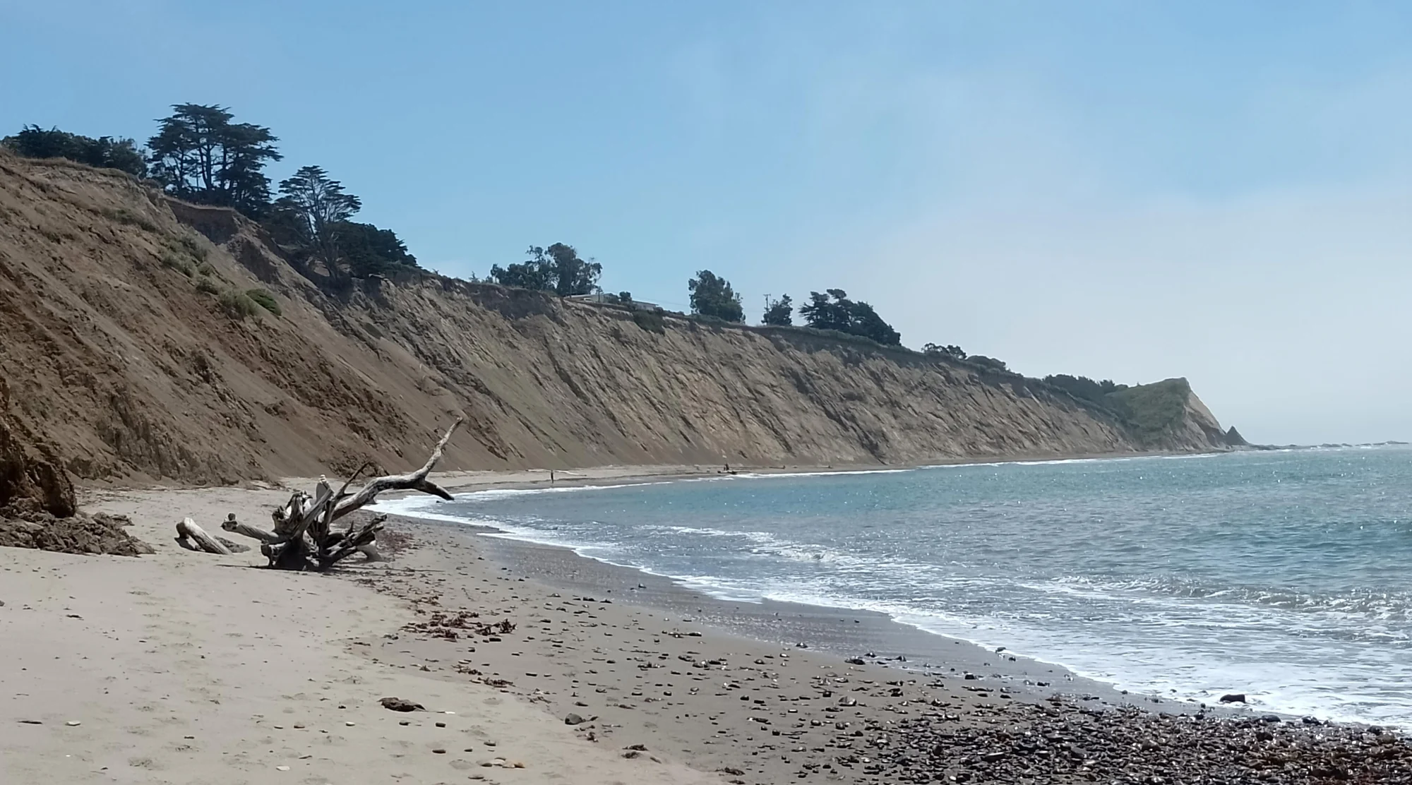
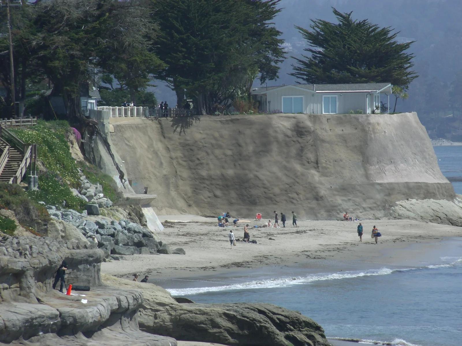
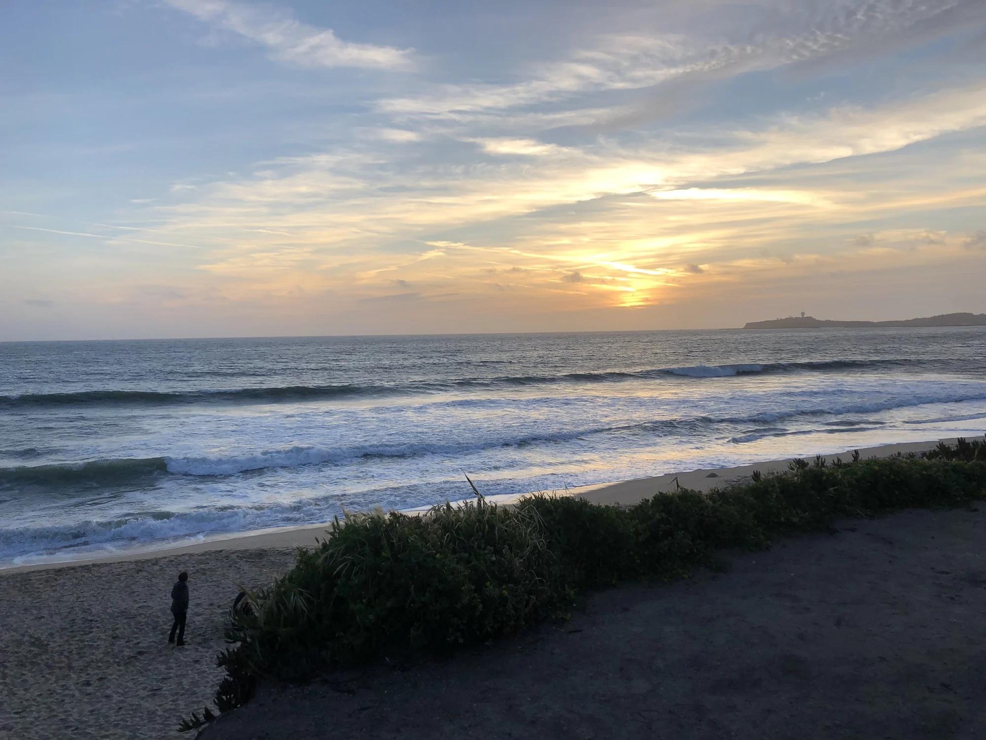
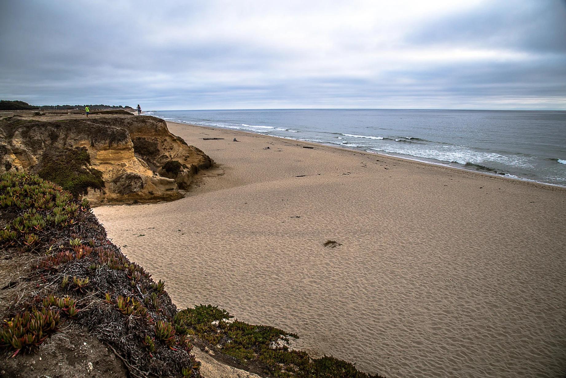
Dunes Beach
Verified California beach at 26 ft in Golden Gate National Recreation Area (Bay Area & Peninsula). Linked to California Coastal Trail.
- Route
- 7.6 mi
- Elevation
- 26 ft
Browse & Discover
Filter by activity, state, region, dog policy, or route effort — or use the interactive map below to find waterfalls, trails, beaches, bikeways, skateparks, and campgrounds near any location.
32 of 2,051 places
Drag to pan. Double-click, pinch or scroll to zoom. Keyboard: arrow keys and +/−. Cards below remain available.
Loading map… Browse the spot cards below at any time.

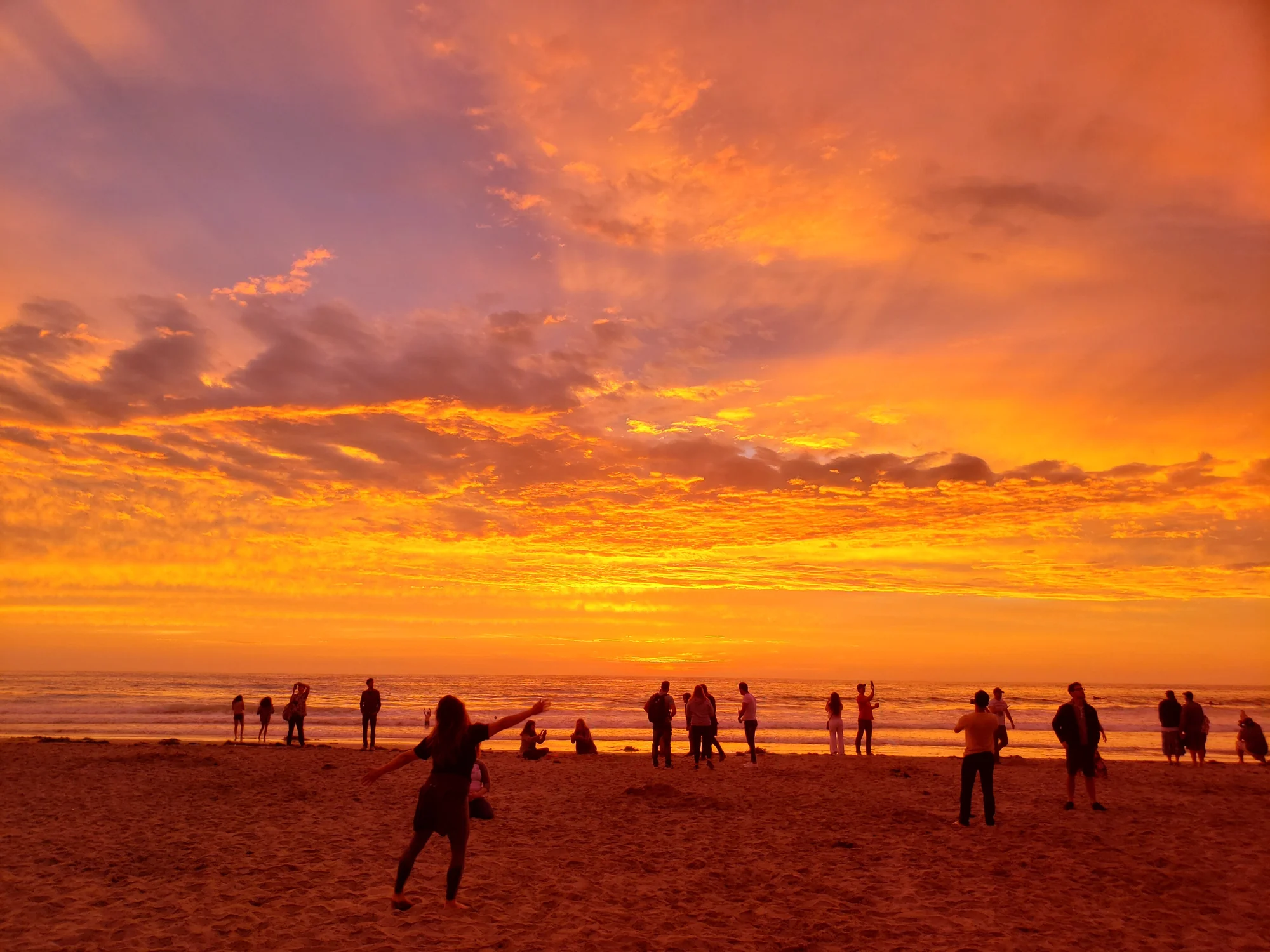
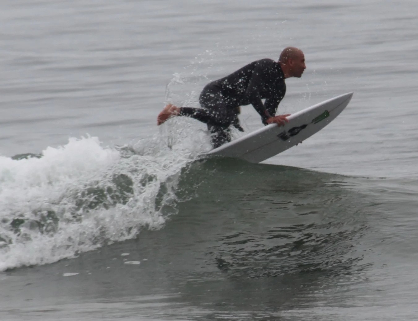
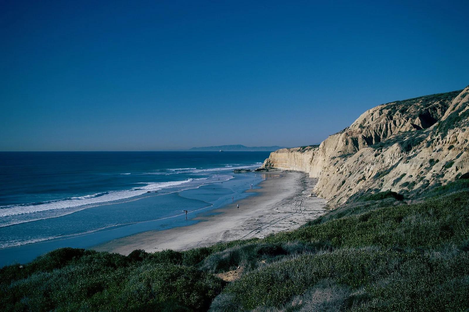
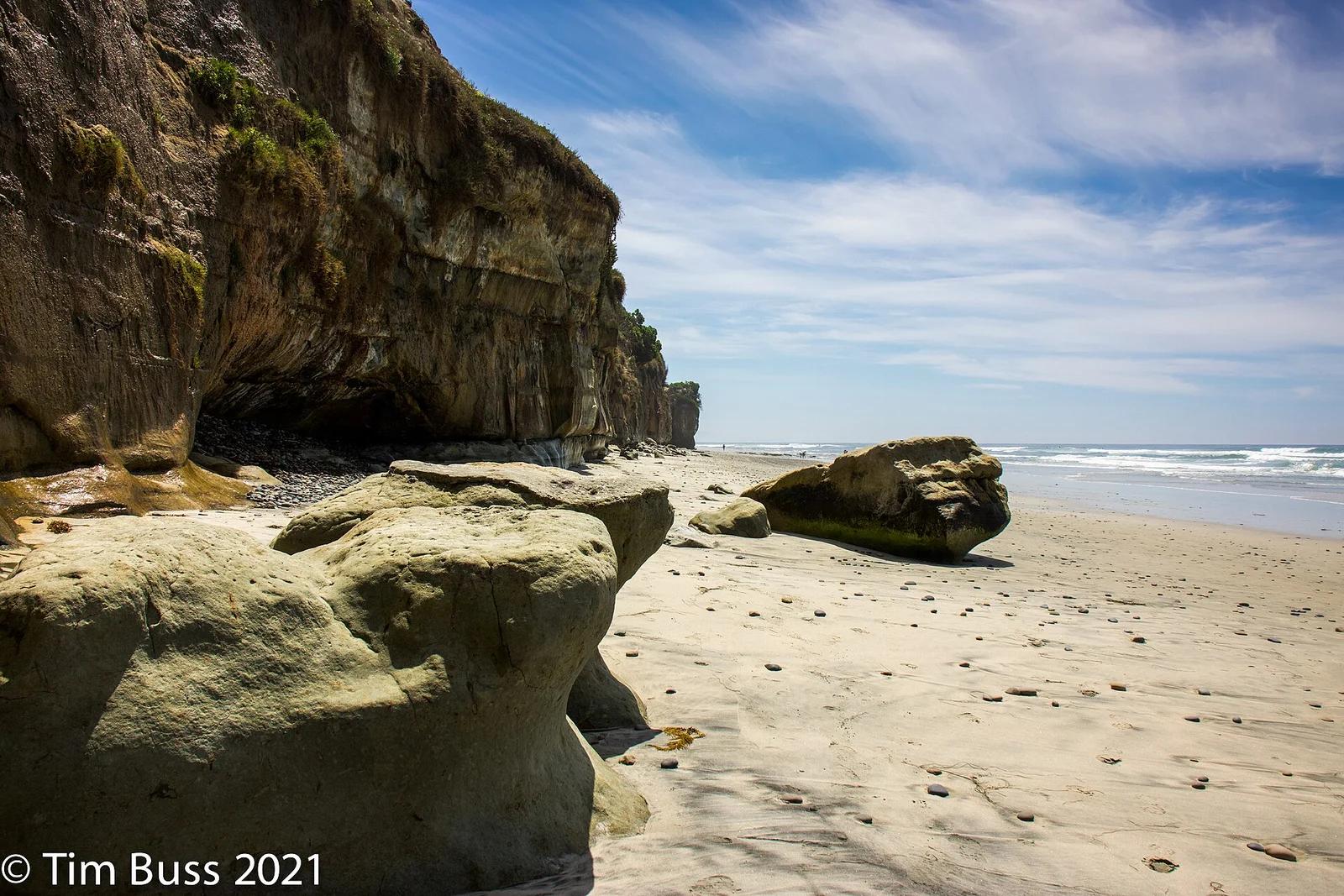
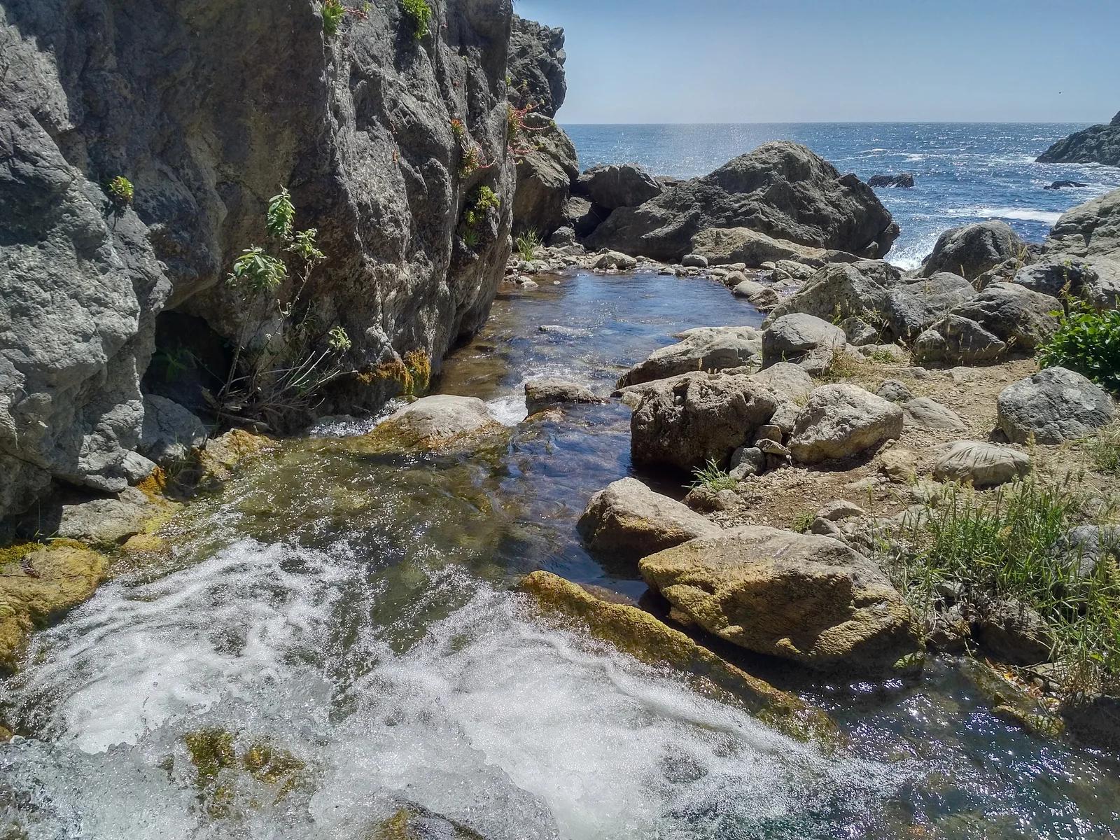
Swami's State Marine Conservation Area · San Diego
Internationally famous right-hand point break named after the clifftop Self-Realization Fellowship hermitage, immortalized in the Beach Boys' 'Surfin' U.S.A.'
Photo: Tim Buss from North County, San Diego, California, USA · CC BY 2.0

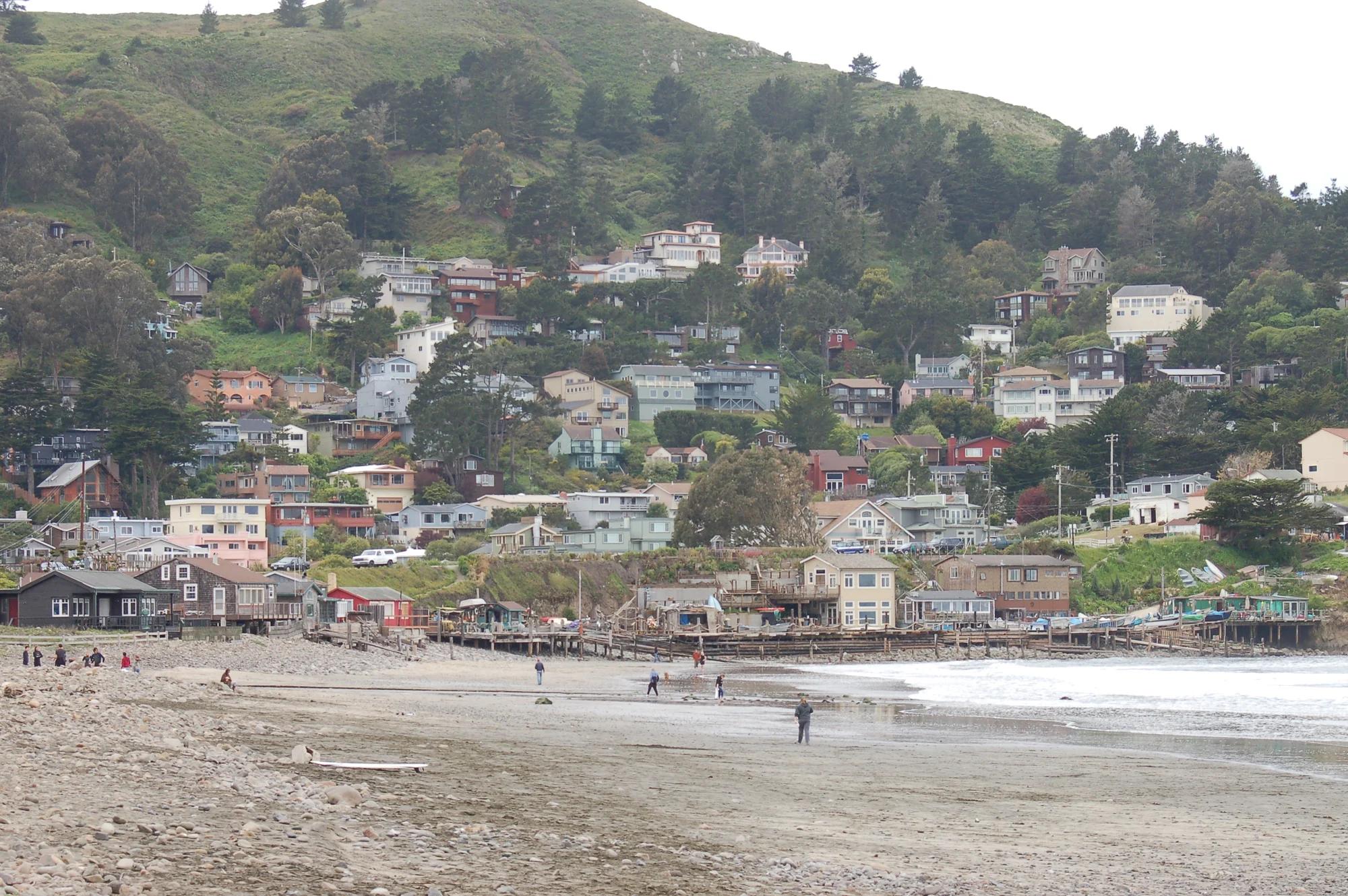
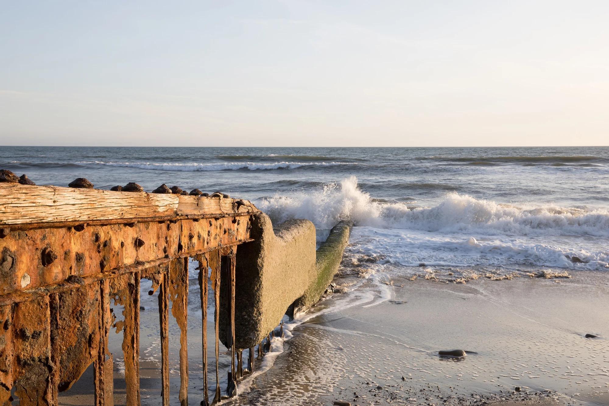
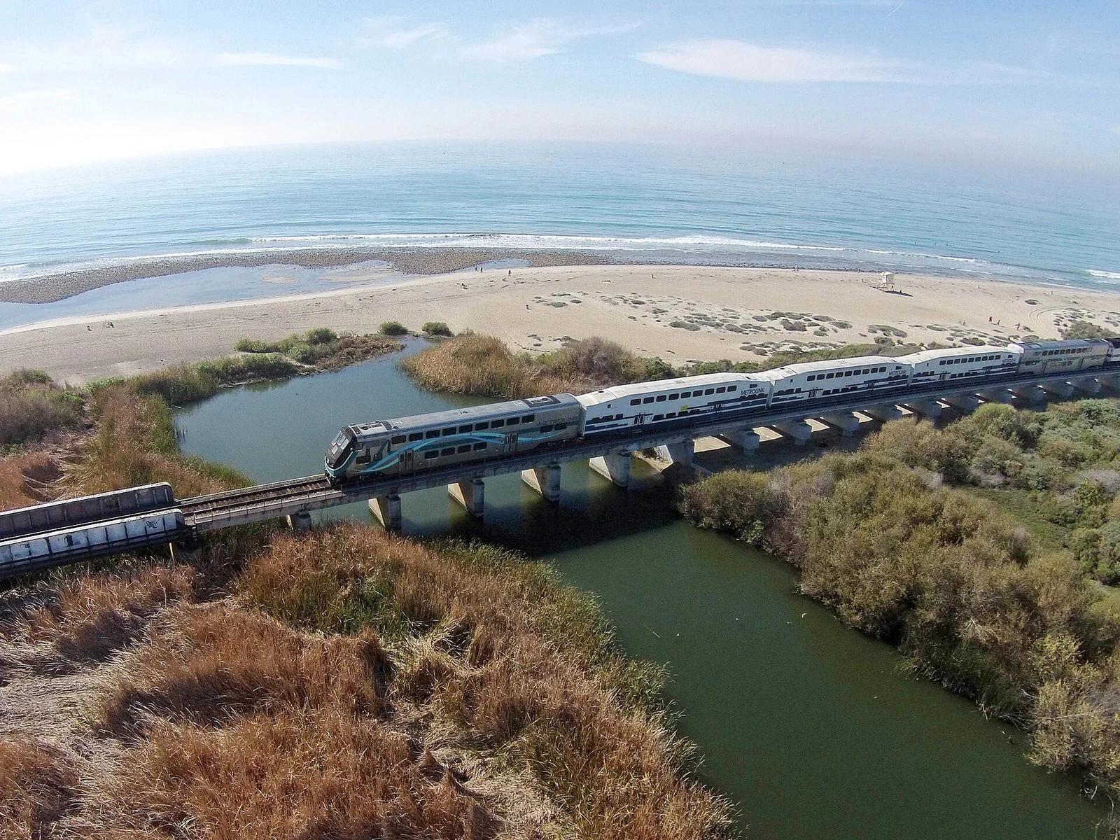
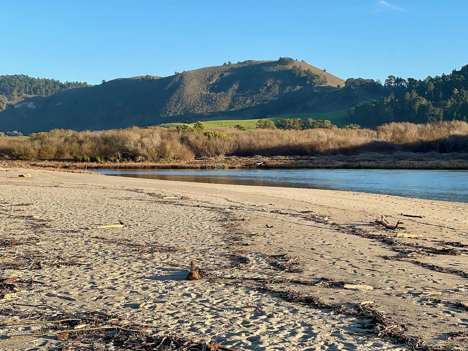
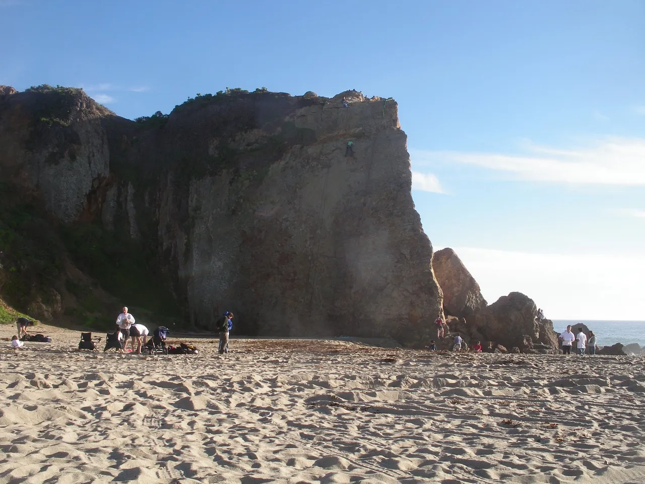
Point Dume State Beach · Santa Monica Mountains
Beach in Point Dume State Beach (Santa Monica Mountains), about 32 miles west of downtown Los Angeles. Typical outing is 1.6 miles with 210 ft of climb. Popular with local hikers and Los Angeles hiking Meetup groups.
Photo: OMCV · Public domain

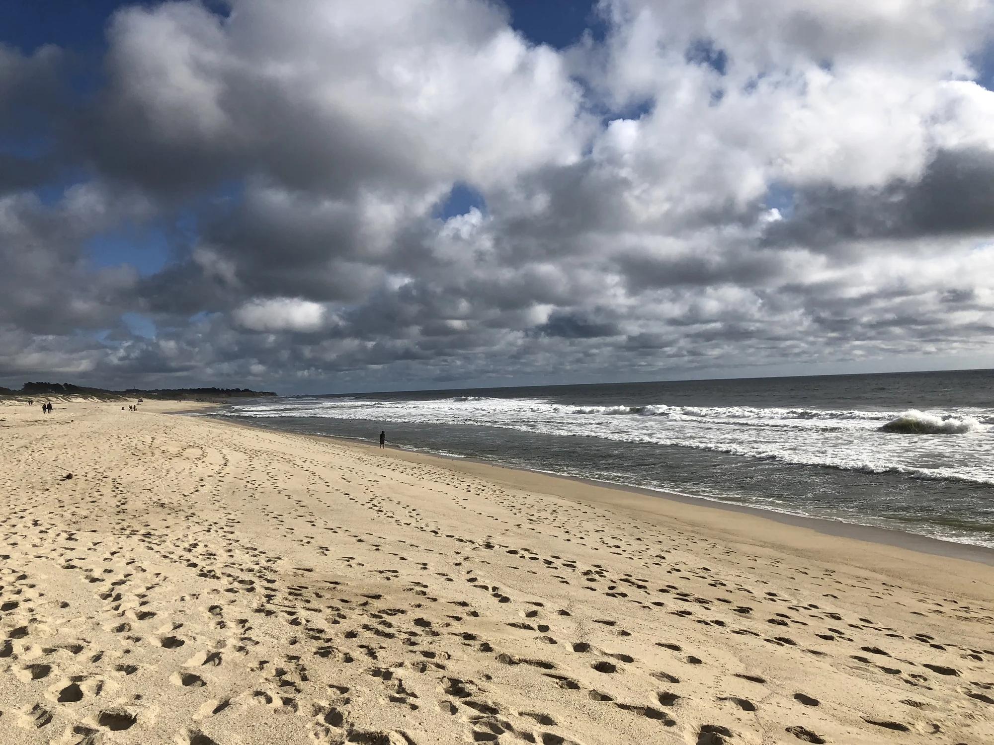
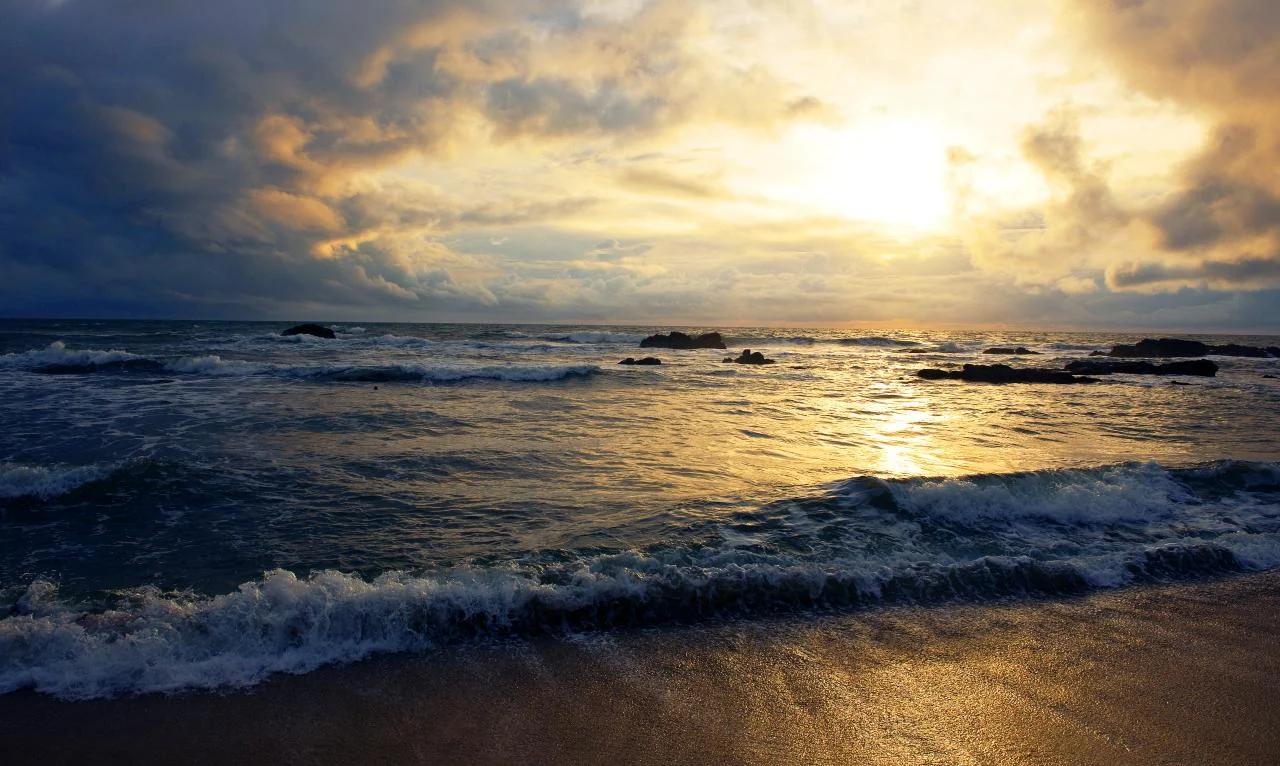
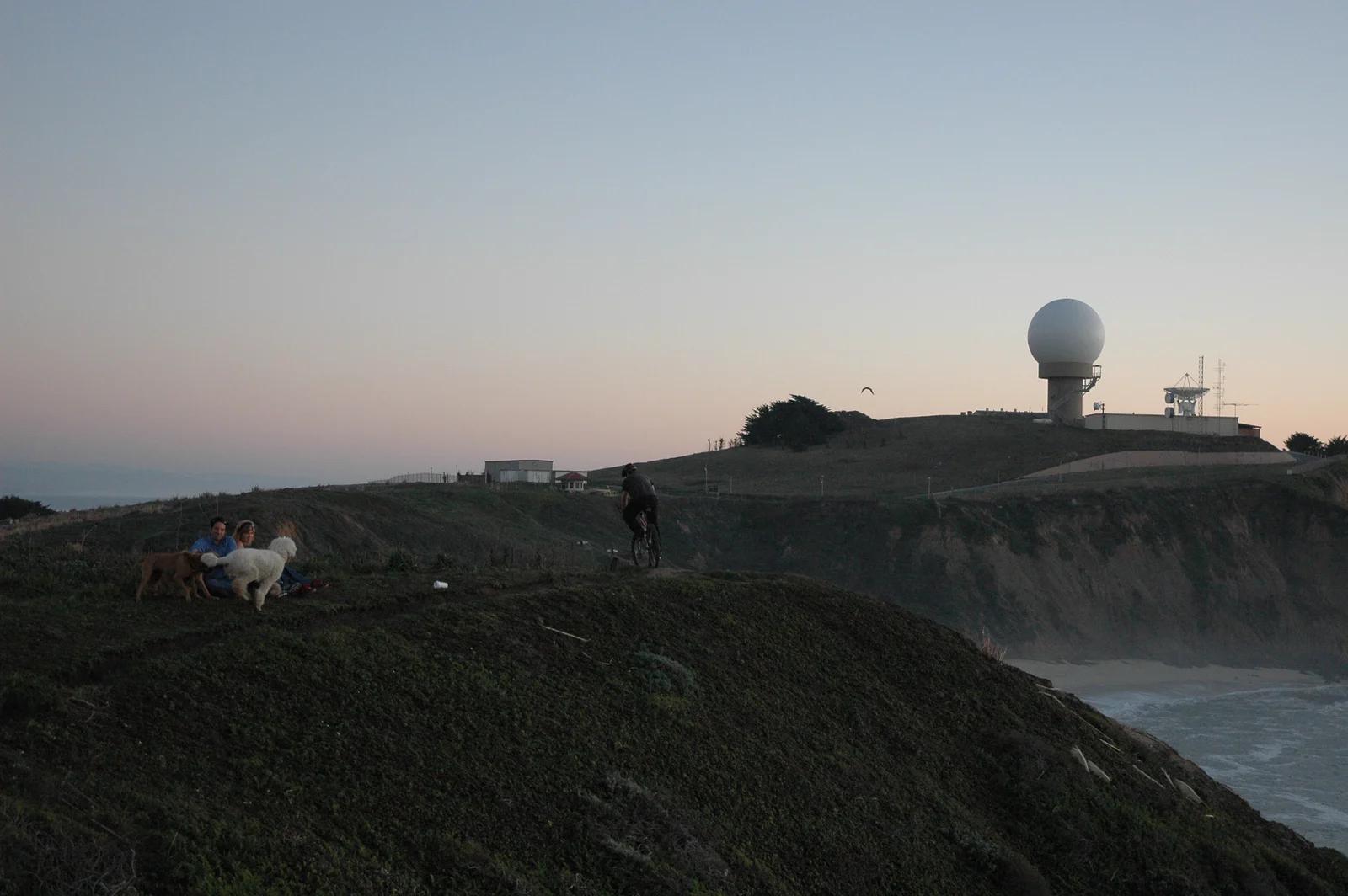
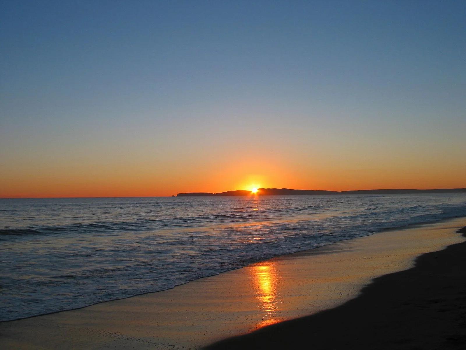
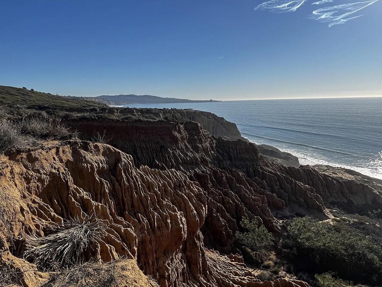
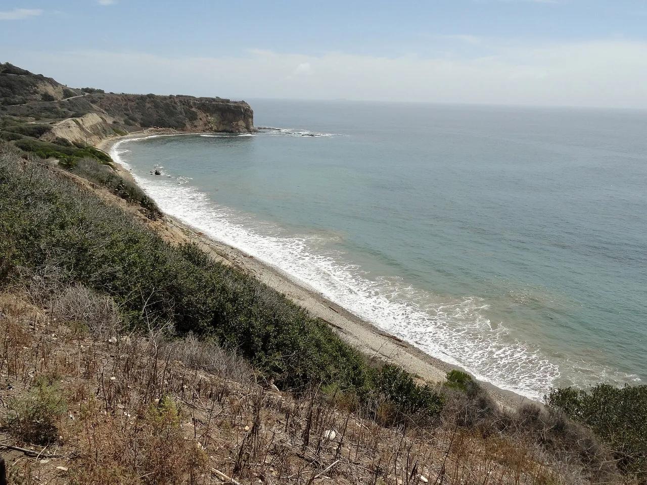
Palos Verdes Nature Preserve · Greater Los Angeles
Beach in Palos Verdes Nature Preserve (Greater Los Angeles), about 23 miles south of downtown Los Angeles. Typical outing is 2.8 miles with 390 ft of climb. Popular with local hikers and Los Angeles hiking Meetup groups.
Photo: Fabio Achilli from Milano, Italy · CC BY 2.0

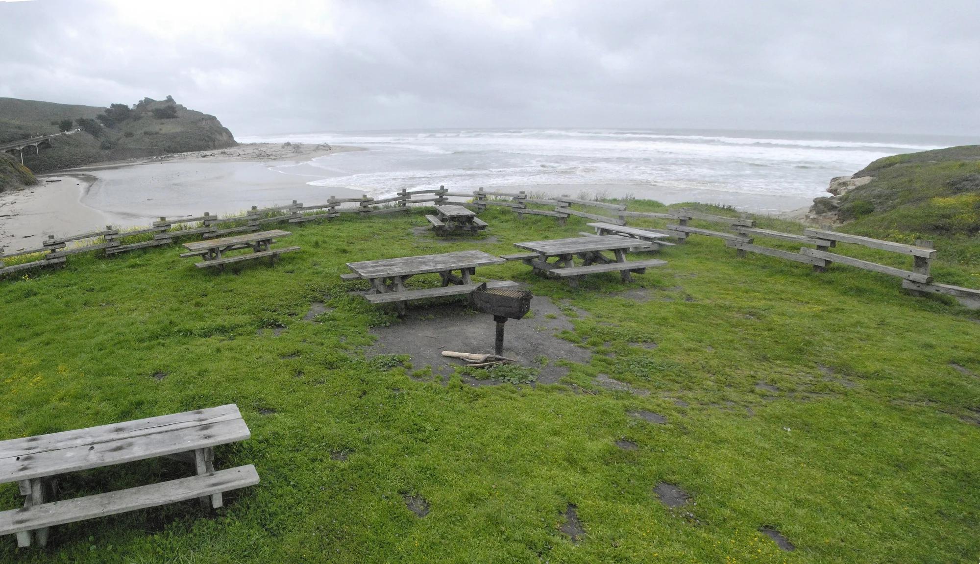
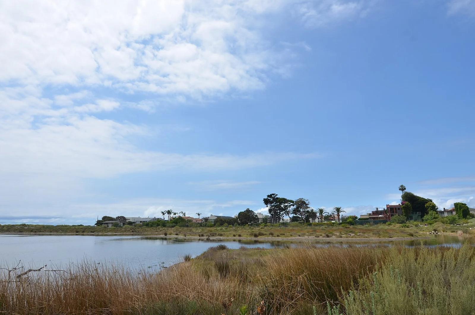
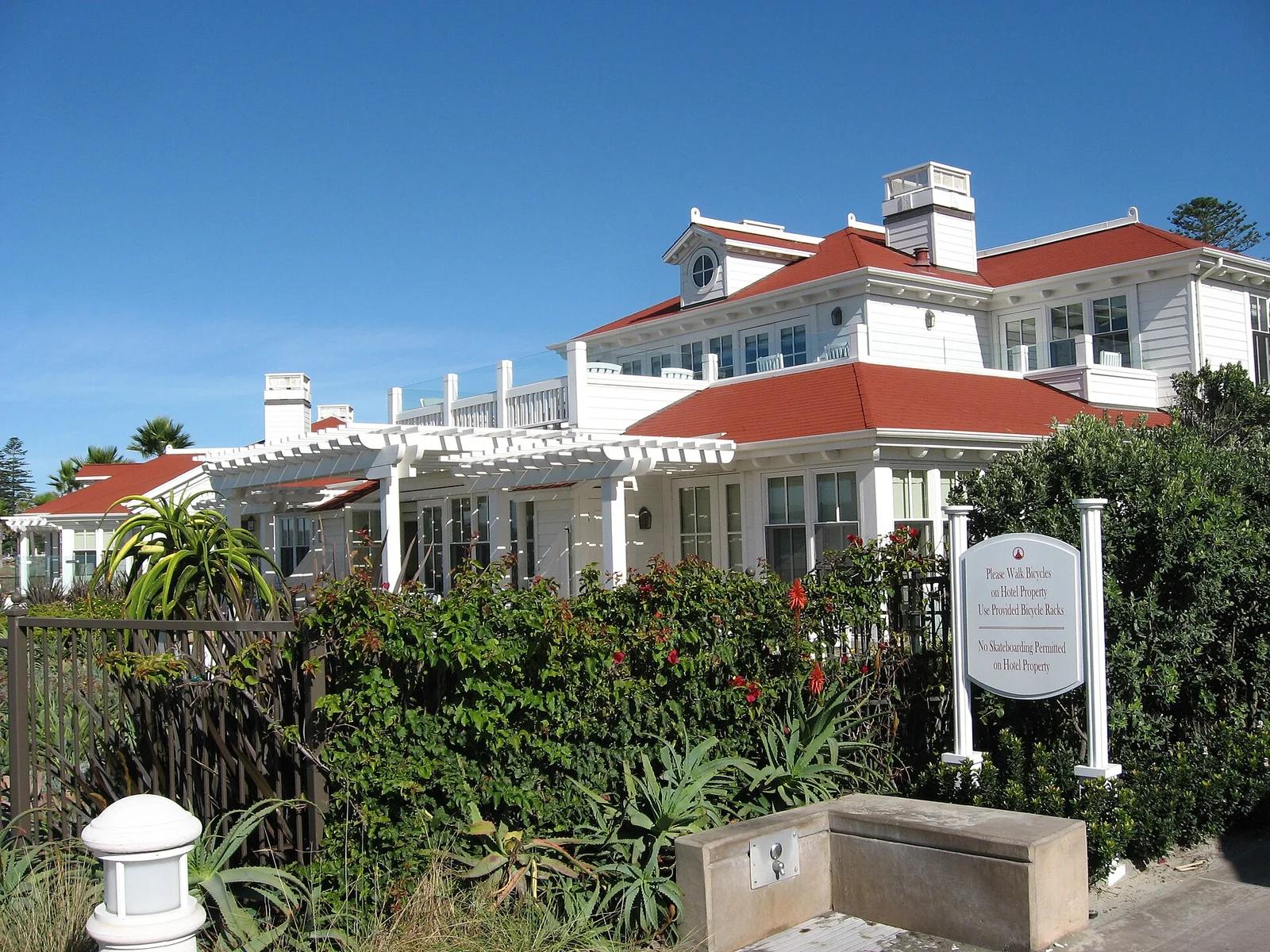
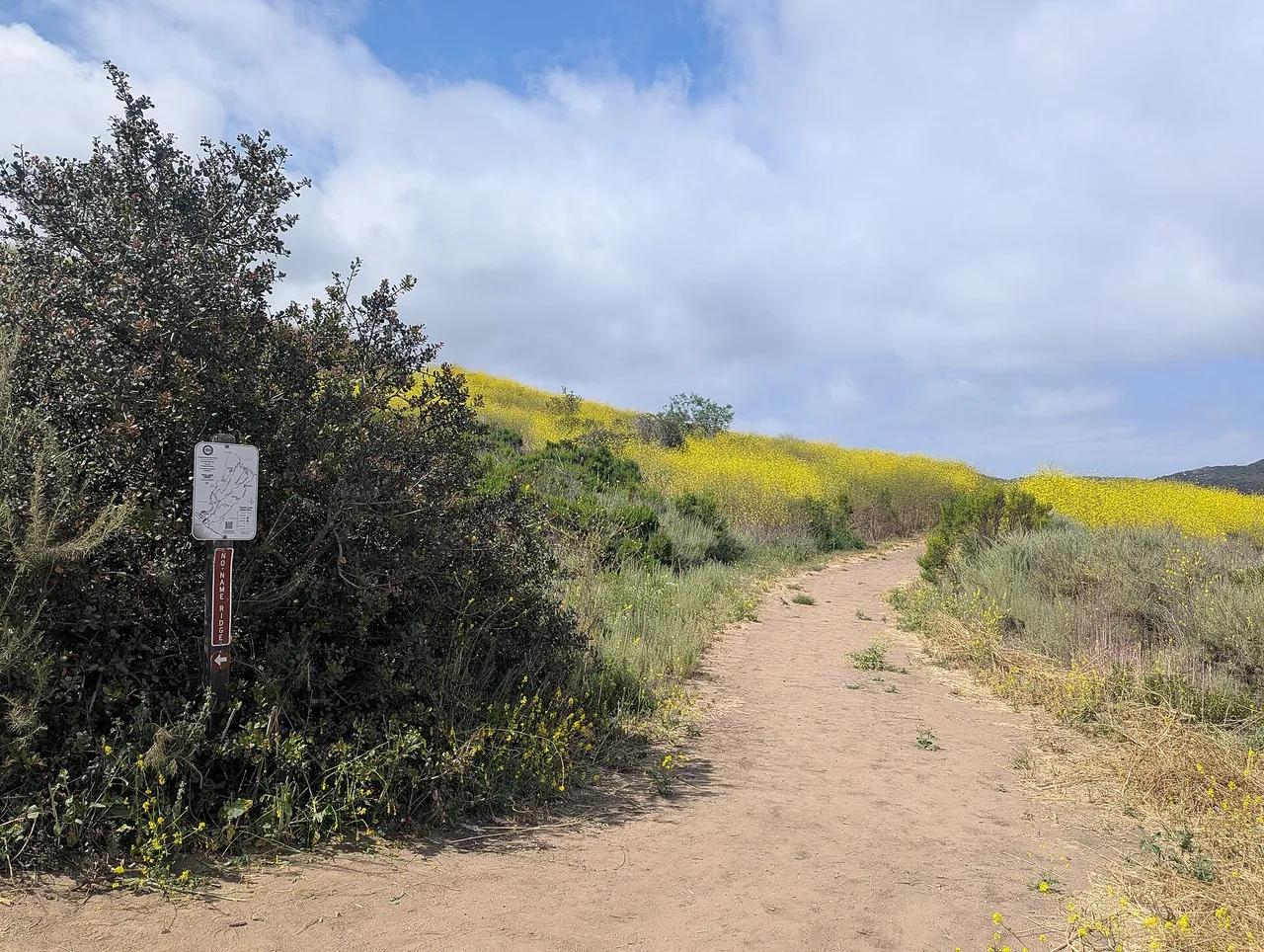
Crystal Cove State Park · Greater Los Angeles
Beach in Crystal Cove State Park (Greater Los Angeles), about 41 miles southeast of downtown Los Angeles. Typical outing is 5.2 miles with 690 ft of climb. Popular with local hikers and Los Angeles hiking Meetup groups.
Photo: Roller Coaster Philosophy · CC BY 2.0