Golden Gate National Recreation Area · Bay Area & Peninsula
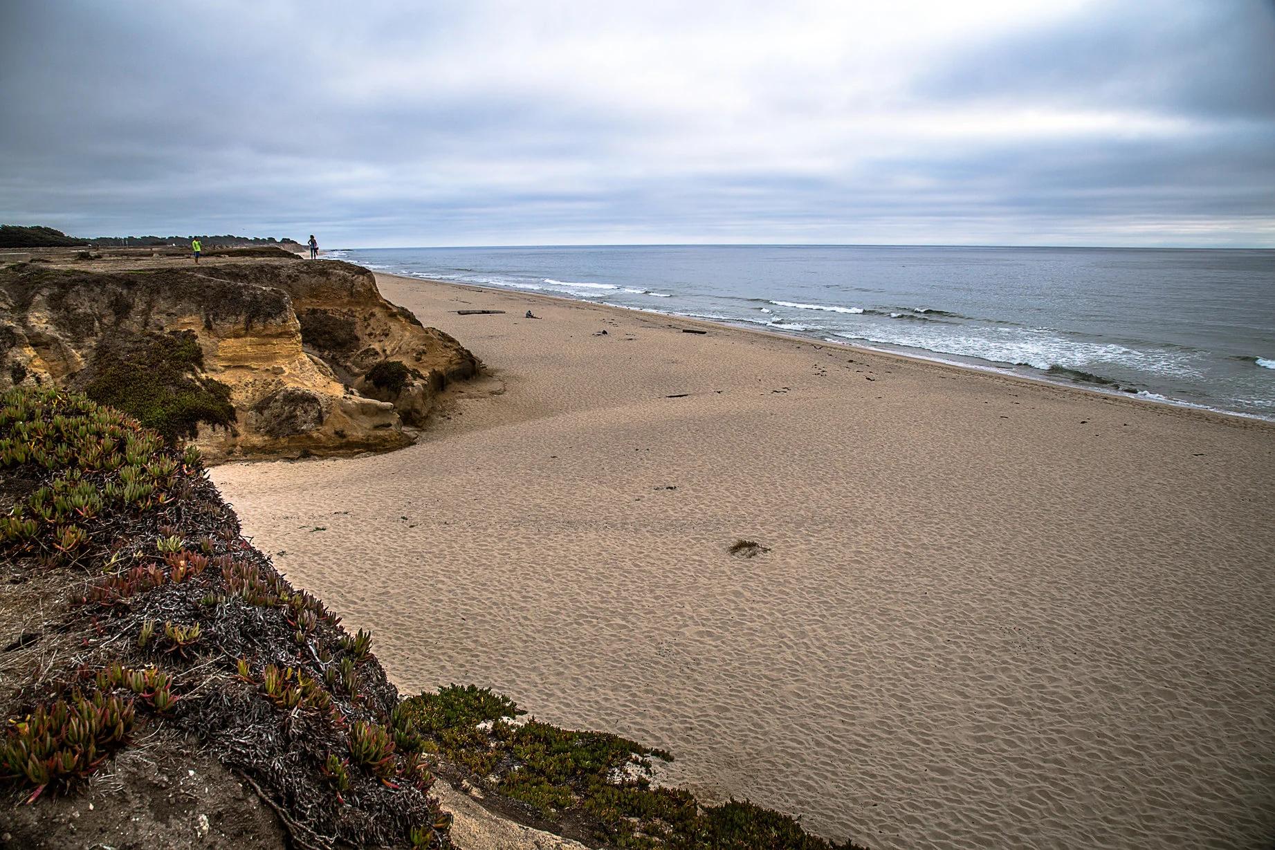
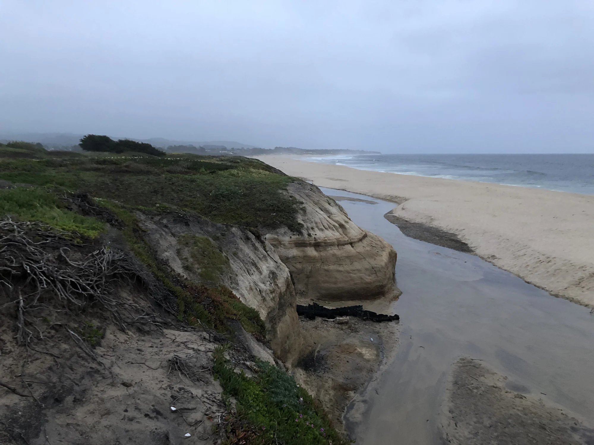
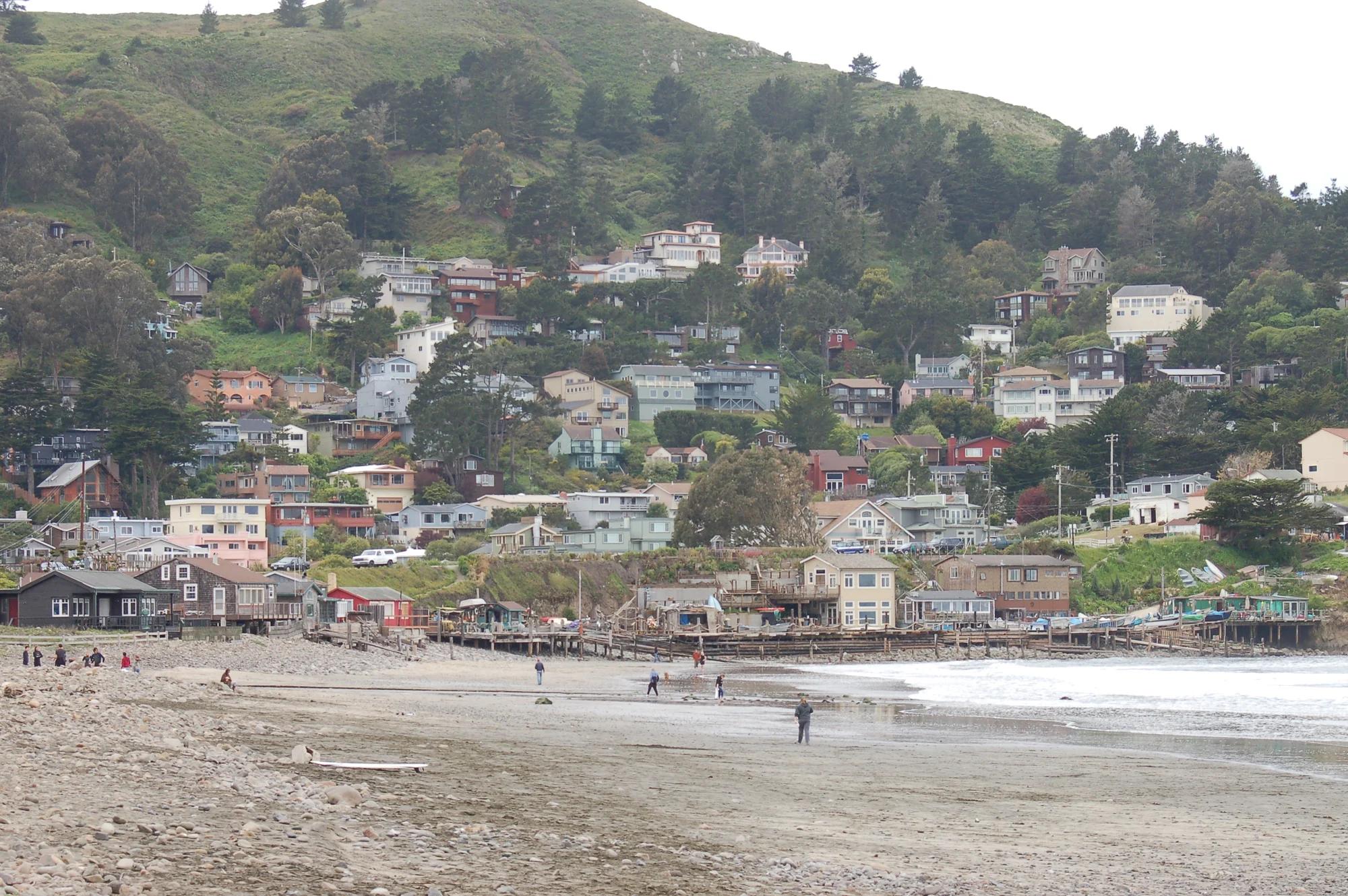
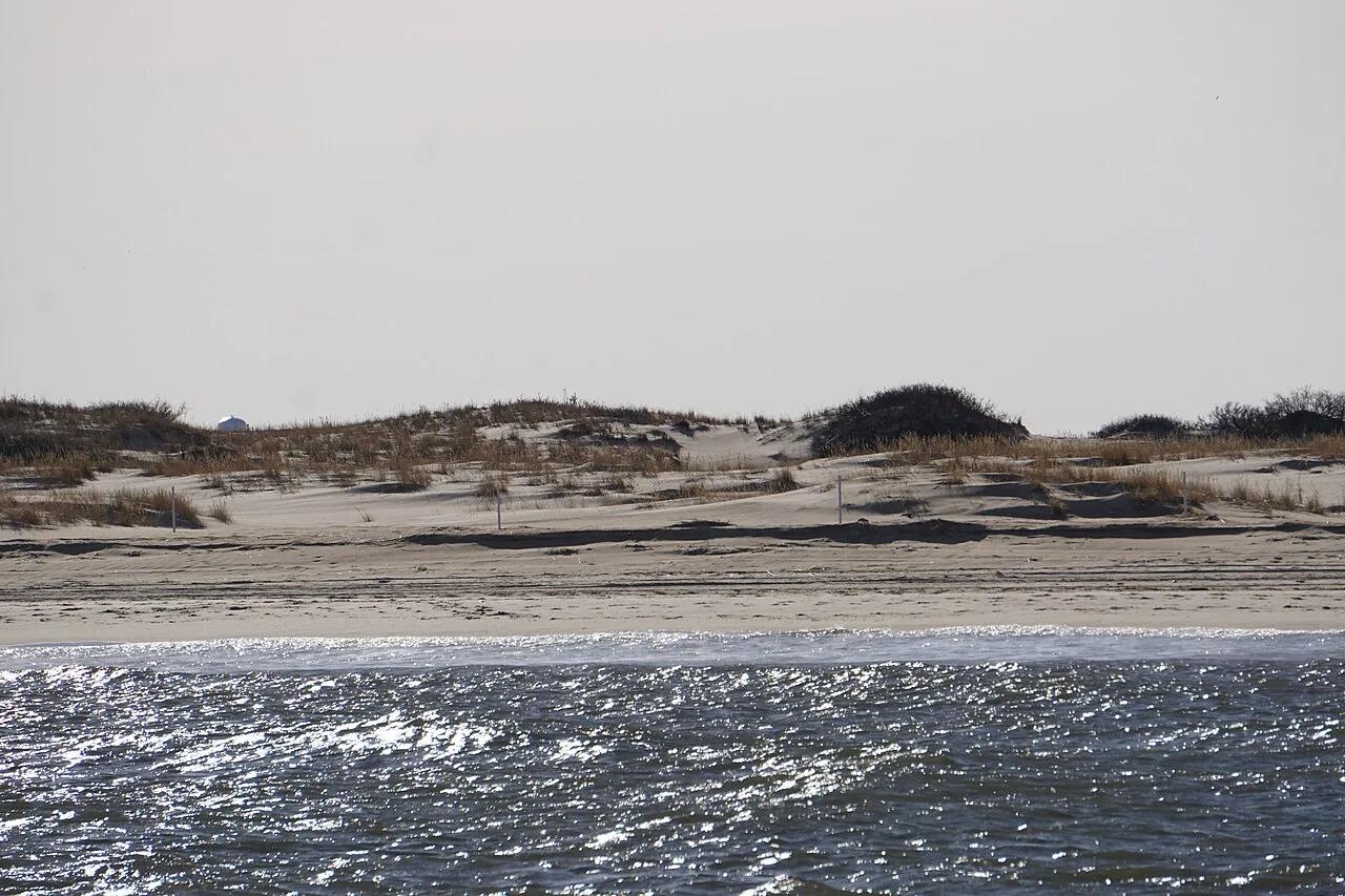
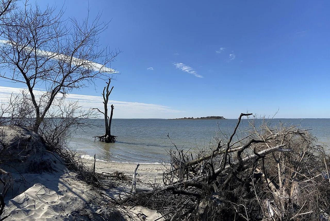
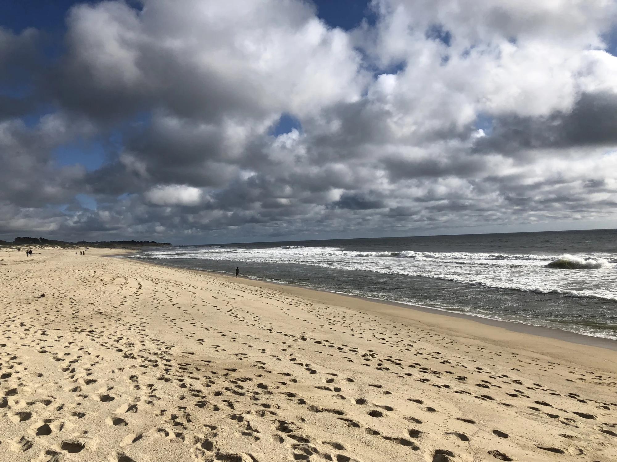
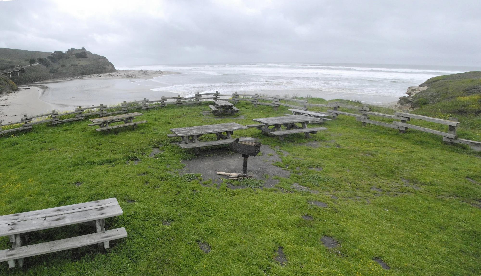
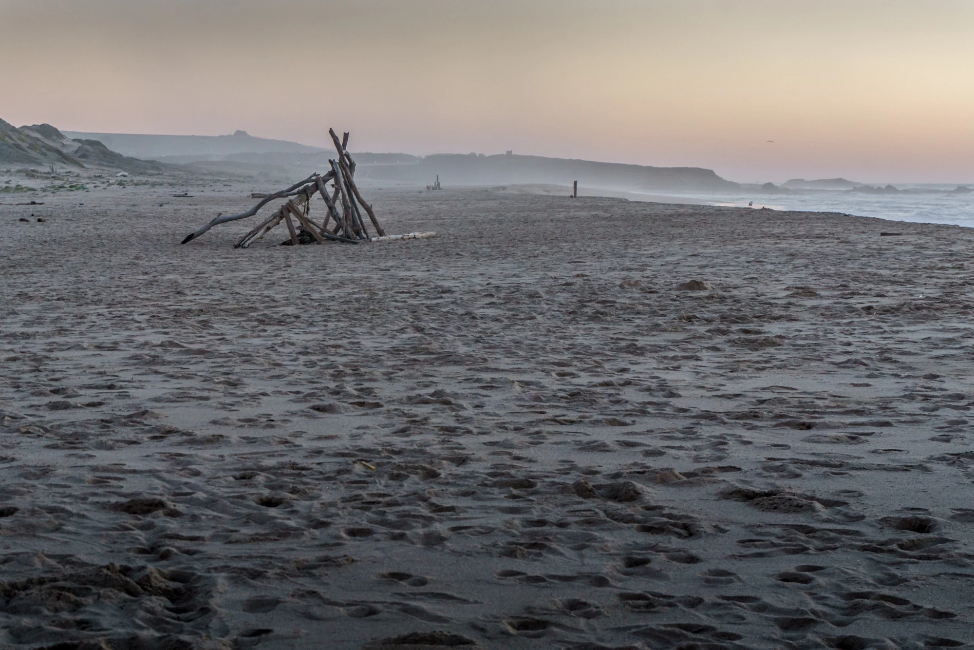
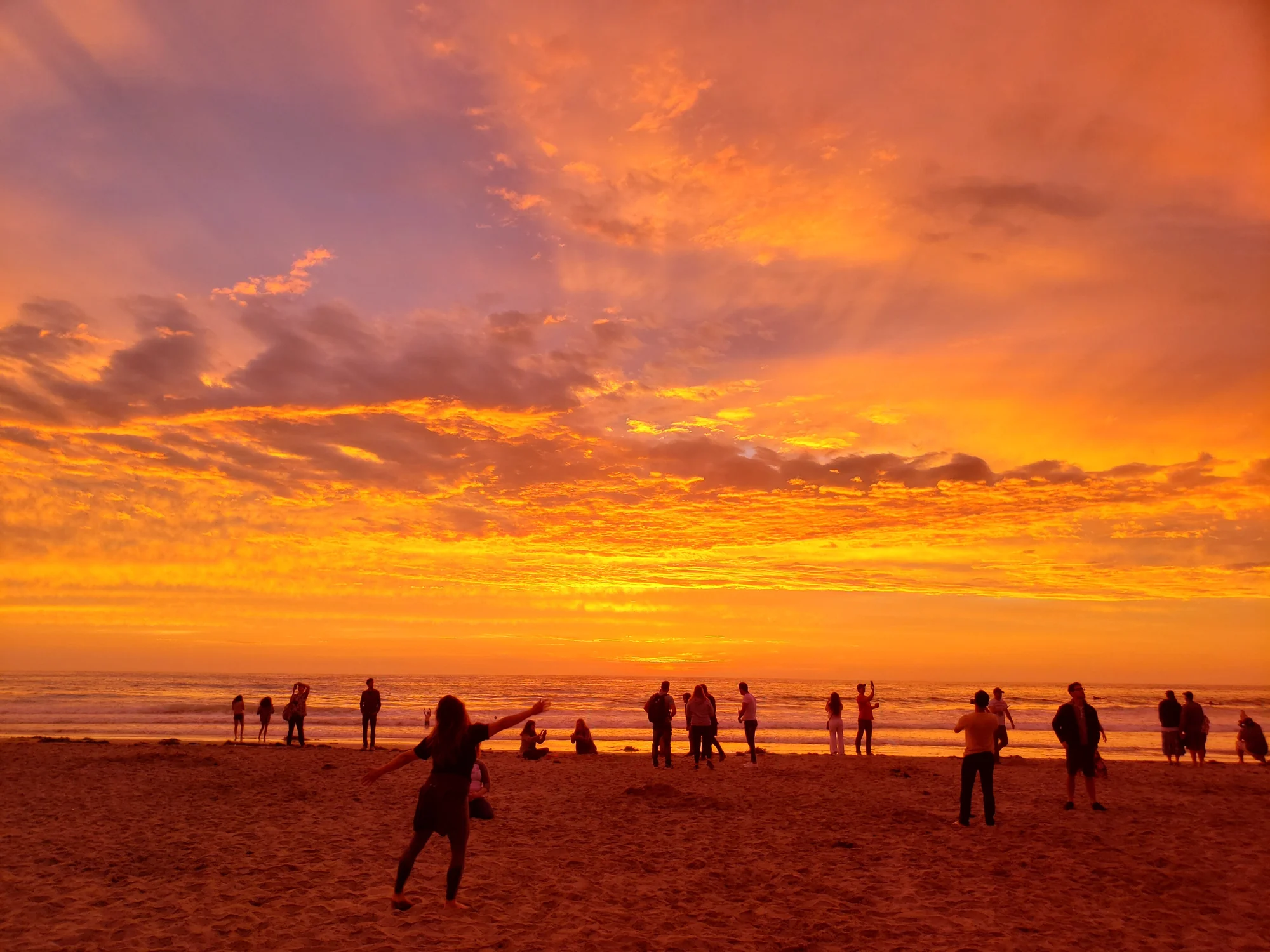
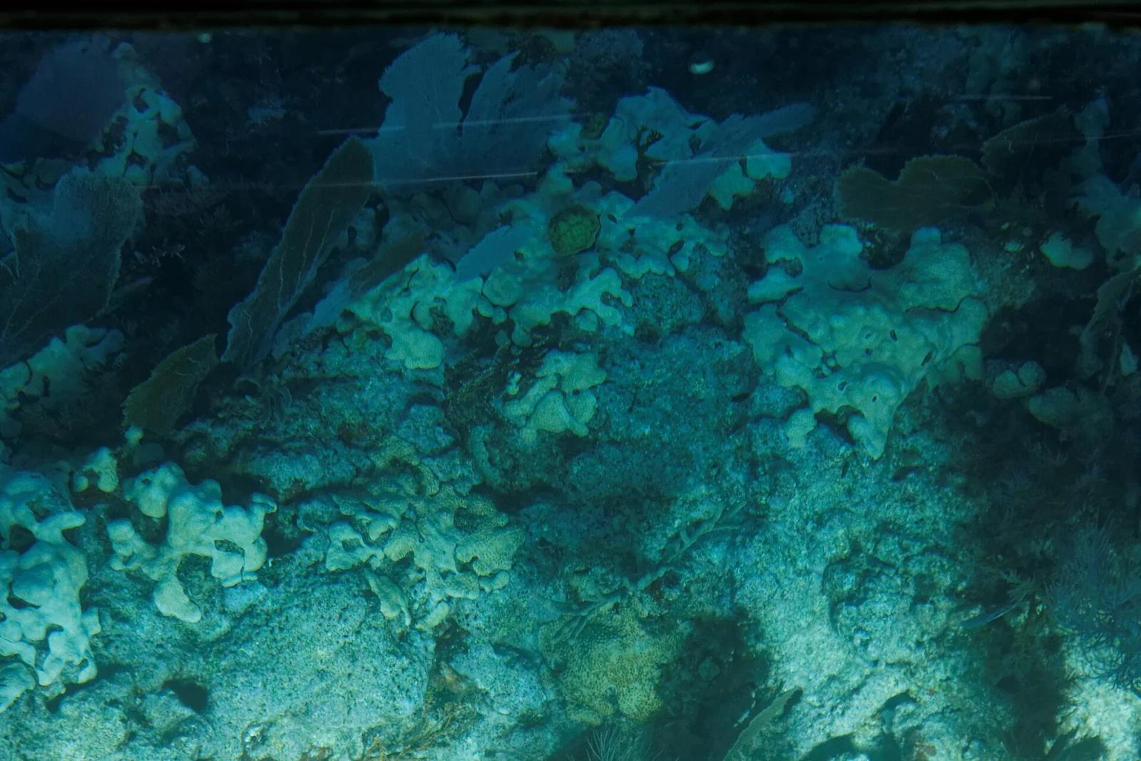
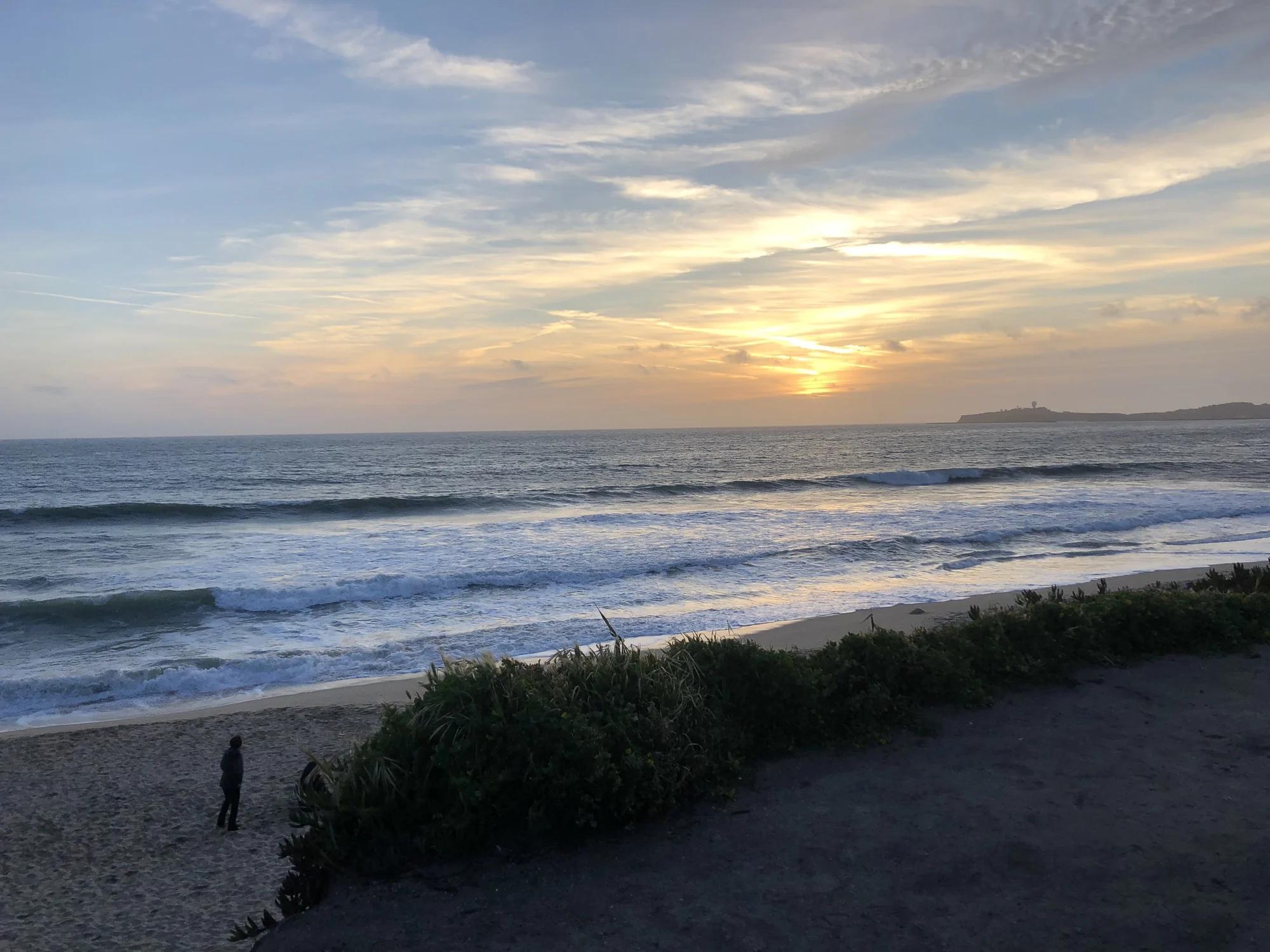
Dunes Beach
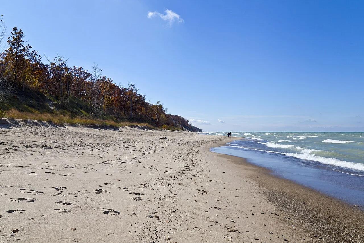
Verified California beach at 26 ft in Golden Gate National Recreation Area (Bay Area & Peninsula). Linked to California Coastal Trail.
- Route
- 7.6 mi
- Elevation
- 26 ft
Browse & Discover
Ocean-bluff campgrounds, desert boulders and redwood picnic groves.
205 of 2,051 places
Drag to pan. Double-click, pinch or scroll to zoom. Keyboard: arrow keys and +/−. Cards below remain available.
Loading map… Browse the spot cards below at any time.

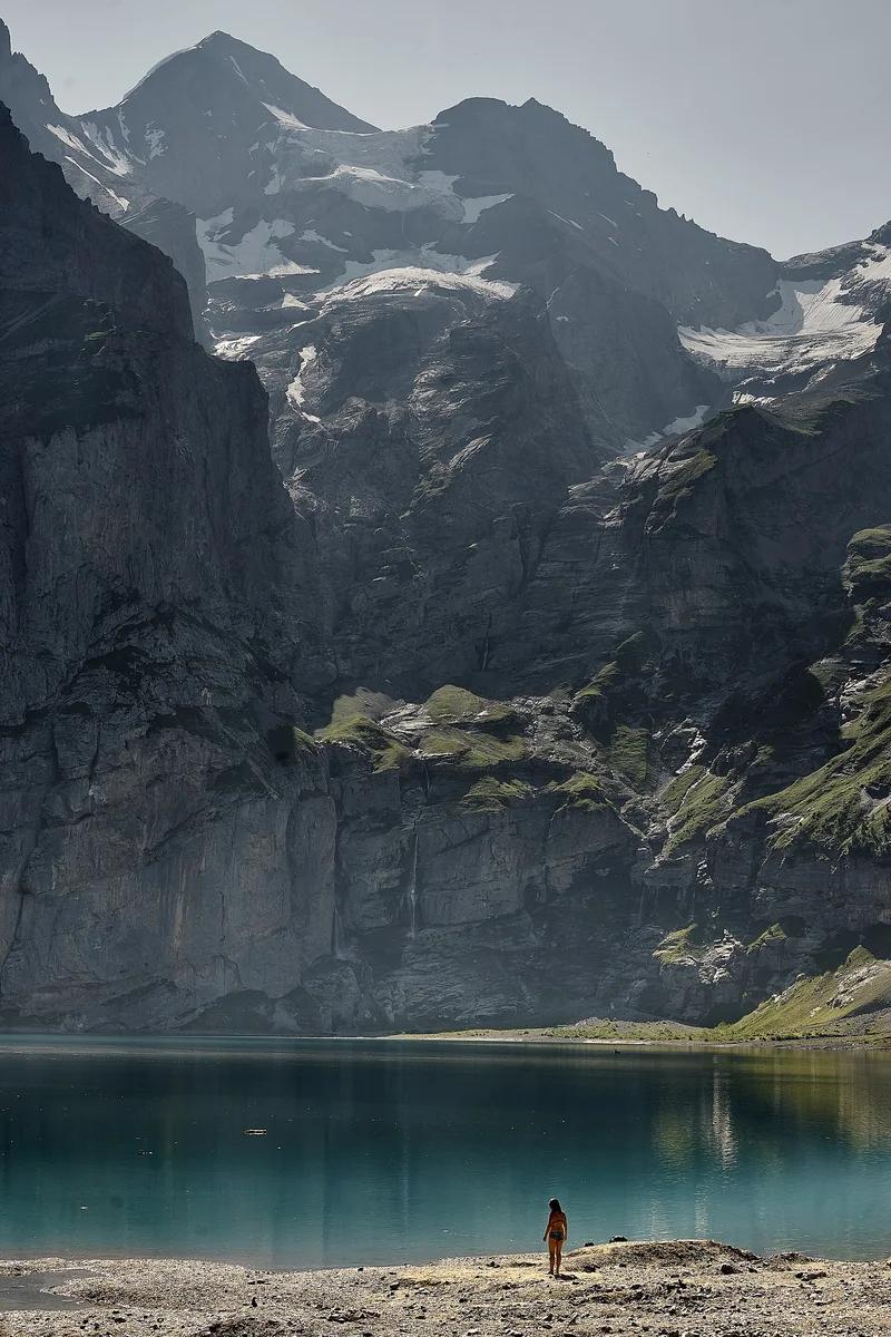
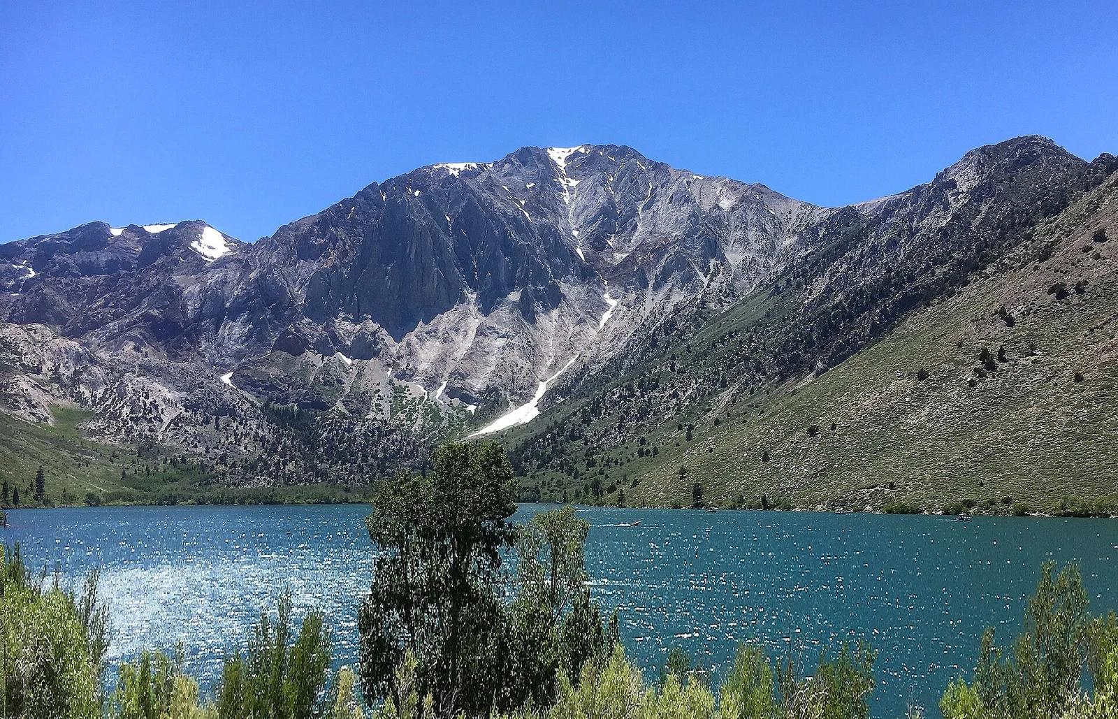
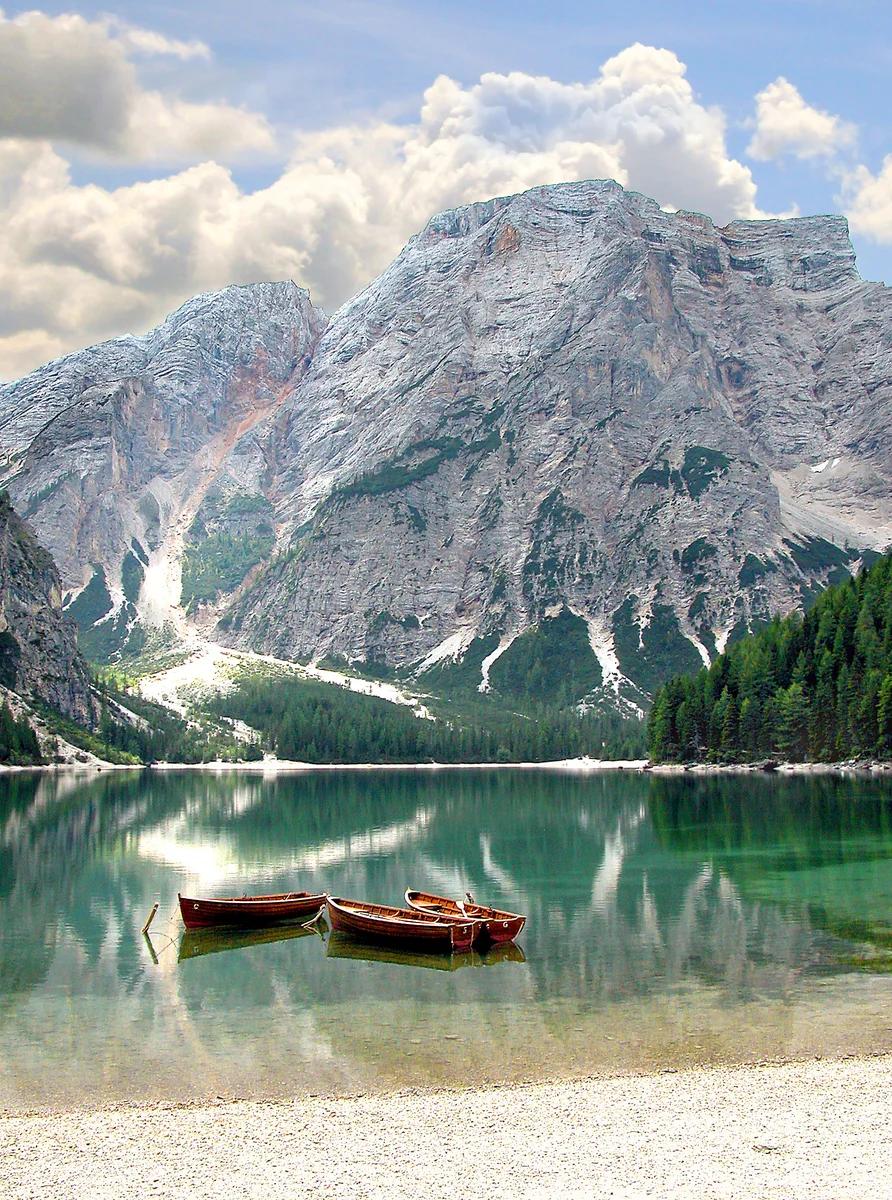
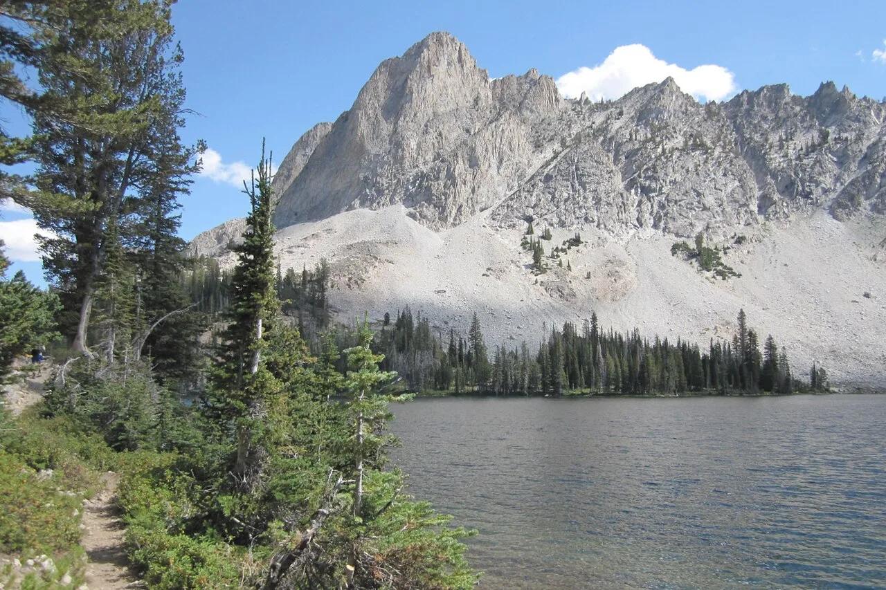
Jungfrau-Aletsch UNESCO World Heritage · European Alps (France & Switzerland) · Switzerland
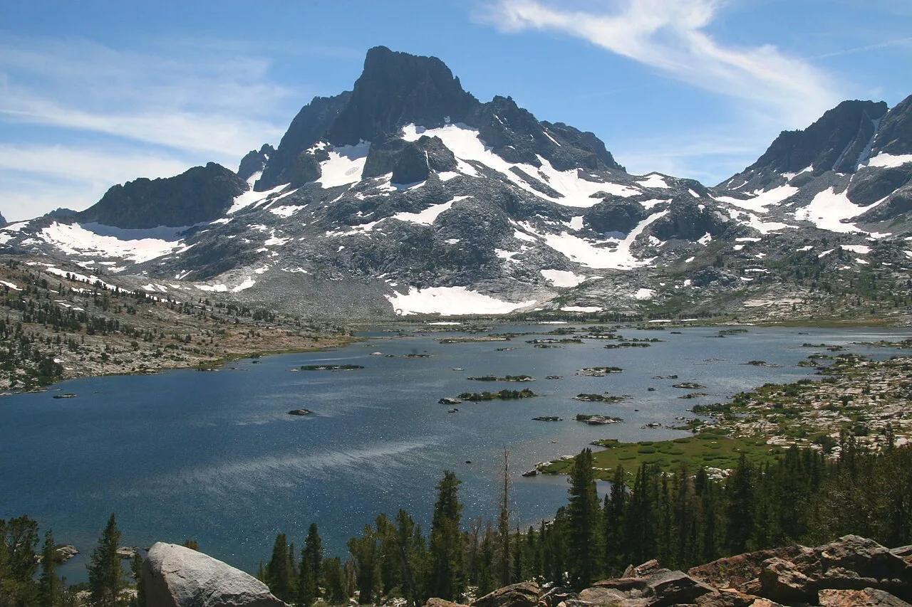
Deep cobalt glacial cirque beneath sheer 3,000-metre limestone cliffs of Blüemlisalp, fed by subterranean waterfall streams.
Photo: Günter Seggebäing, Coesfeld · CC BY-SA 3.0

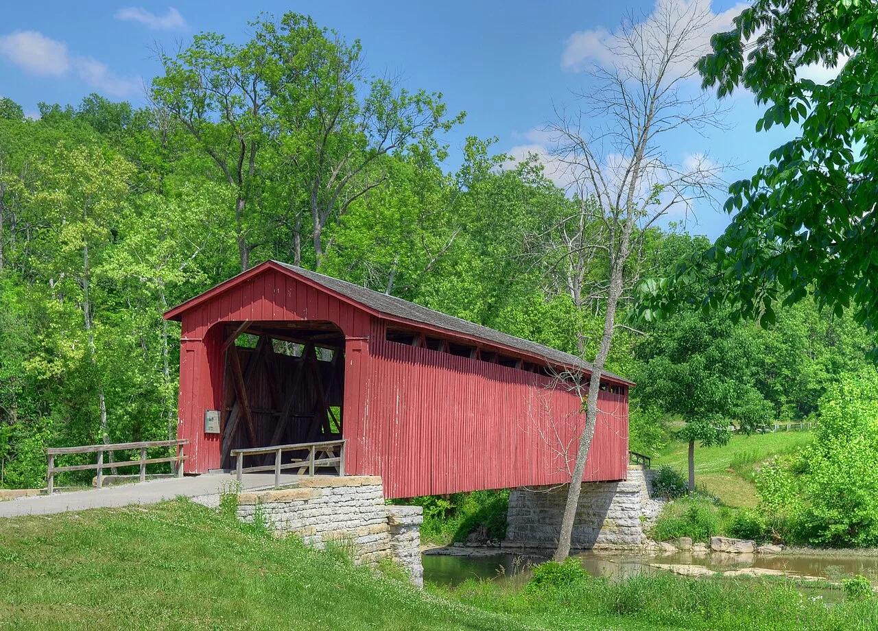
Cataract Falls State Recreation Area (Cagles Mill Lake) · Central Indiana · Indiana
The largest waterfall by water volume in Indiana, dropping over Upper and Lower tiered limestone ledges spanned by a historic 1876 covered bridge.
Photo: Rodney Campbell · CC BY 2.0

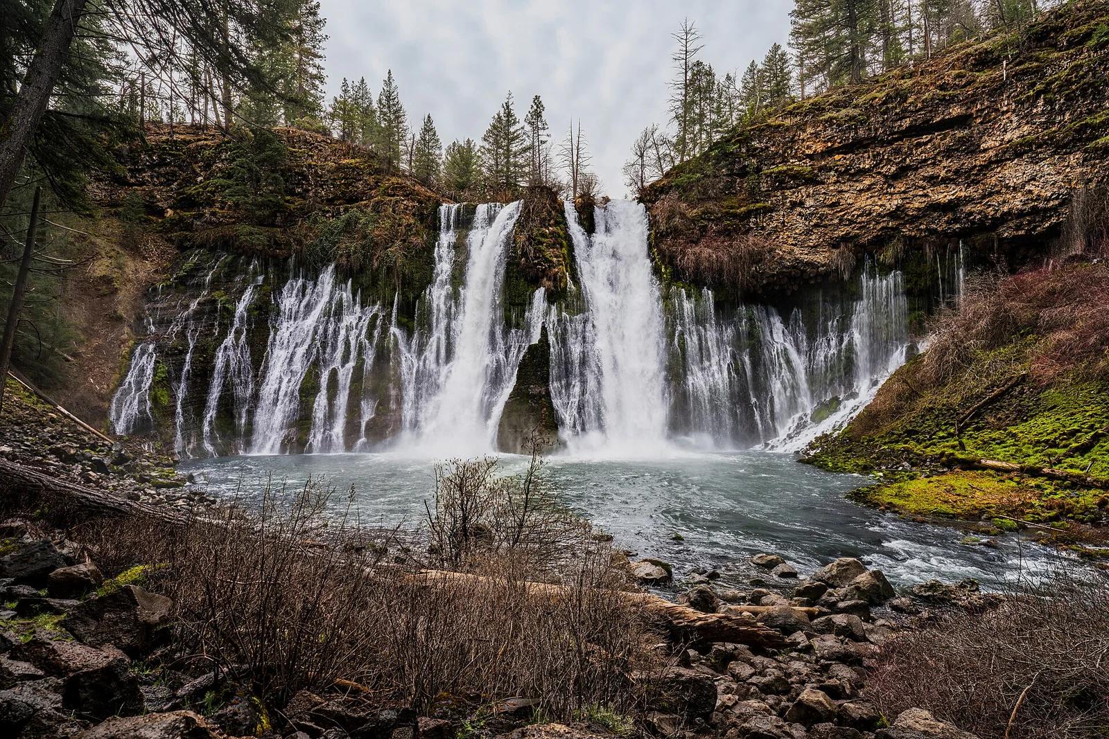
McArthur-Burney Falls Memorial State Park · Shasta Cascade
The 'Eighth Wonder of the World' (Teddy Roosevelt): a spectacular 129-foot spring-fed waterfall surrounded by pine campgrounds and picnic areas.
Photo: JonMallard10 · CC BY 4.0

Mount Rogers National Recreation Area · Appalachian & Blue Ridge · Virginia
17-mile downhill rail-trail ride across 30 wooden trestle bridges along rushing Whitetop Laurel Creek from Whitetop Station to Damascus.
Photo: Virginia State Parks staff · CC BY 2.0

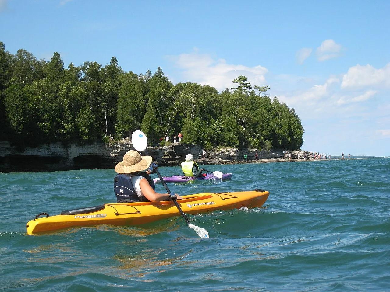
Cave Point County Park & Whitefish Dunes State Park (Door County) · Midwest & Great Lakes · Wisconsin
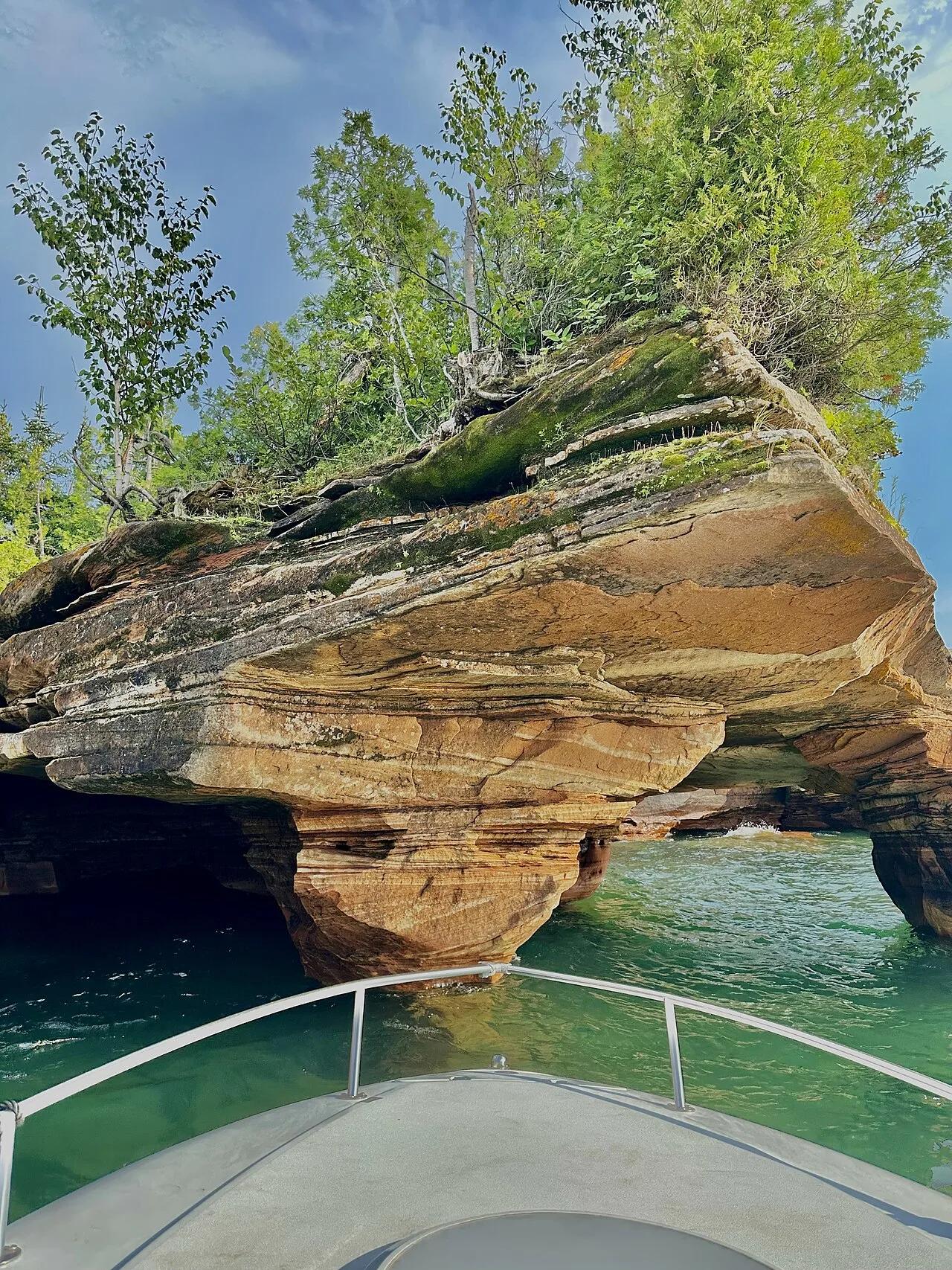
Wave-undercut Niagara Dolomite sea ledges booming with Lake Michigan spray next to Wisconsin's highest coastal sand dunes.
Photo: David Thomas · CC BY 2.0

Worthington State Forest / Delaware Water Gap · Skylands / Kittatinny Ridge · New Jersey
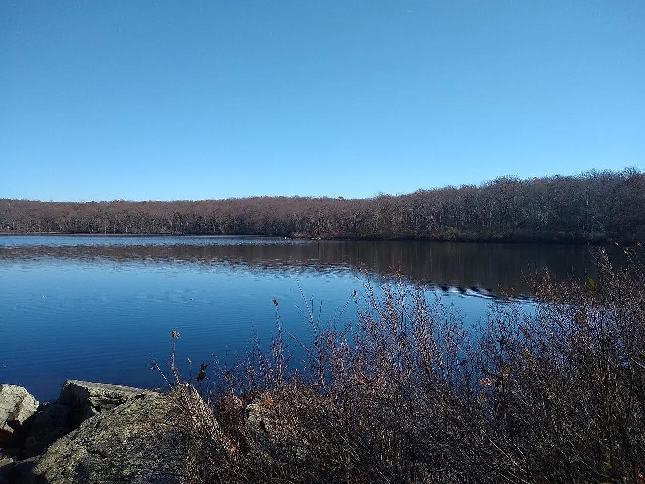
A 28-acre pristine glacial tarn perched 1,000 feet above the Delaware River on the Appalachian National Scenic Trail.
Photo: Vanalii · CC BY-SA 4.0

Chicot State Park (Ville Platte) · South & Gulf Coast · Louisiana
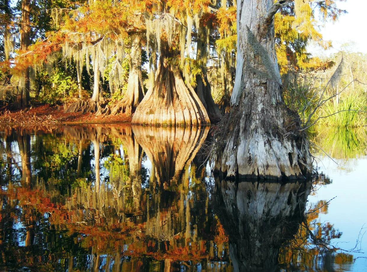
20-mile Circumferential hiking/mountain-bike trail and 8-mile marked canoe loop encircling a 2,000-acre cypress-tupelo lake and beech-magnolia hills.
Photo: jillian.e · CC BY 2.0

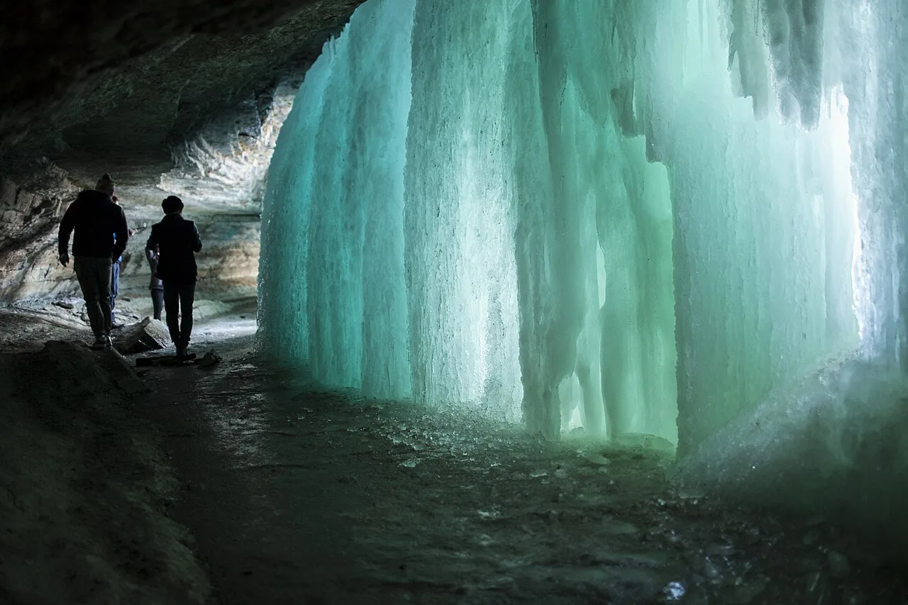
Minnehaha Regional Park (Grand Rounds Scenic Byway) · Midwest & Great Lakes · Minnesota
53-foot urban limestone waterfall where Minnehaha Creek joins the Mississippi River along Minneapolis's 51-mile Grand Rounds bikeway.
Photo: Albert Leung from MPLS · CC BY 2.0

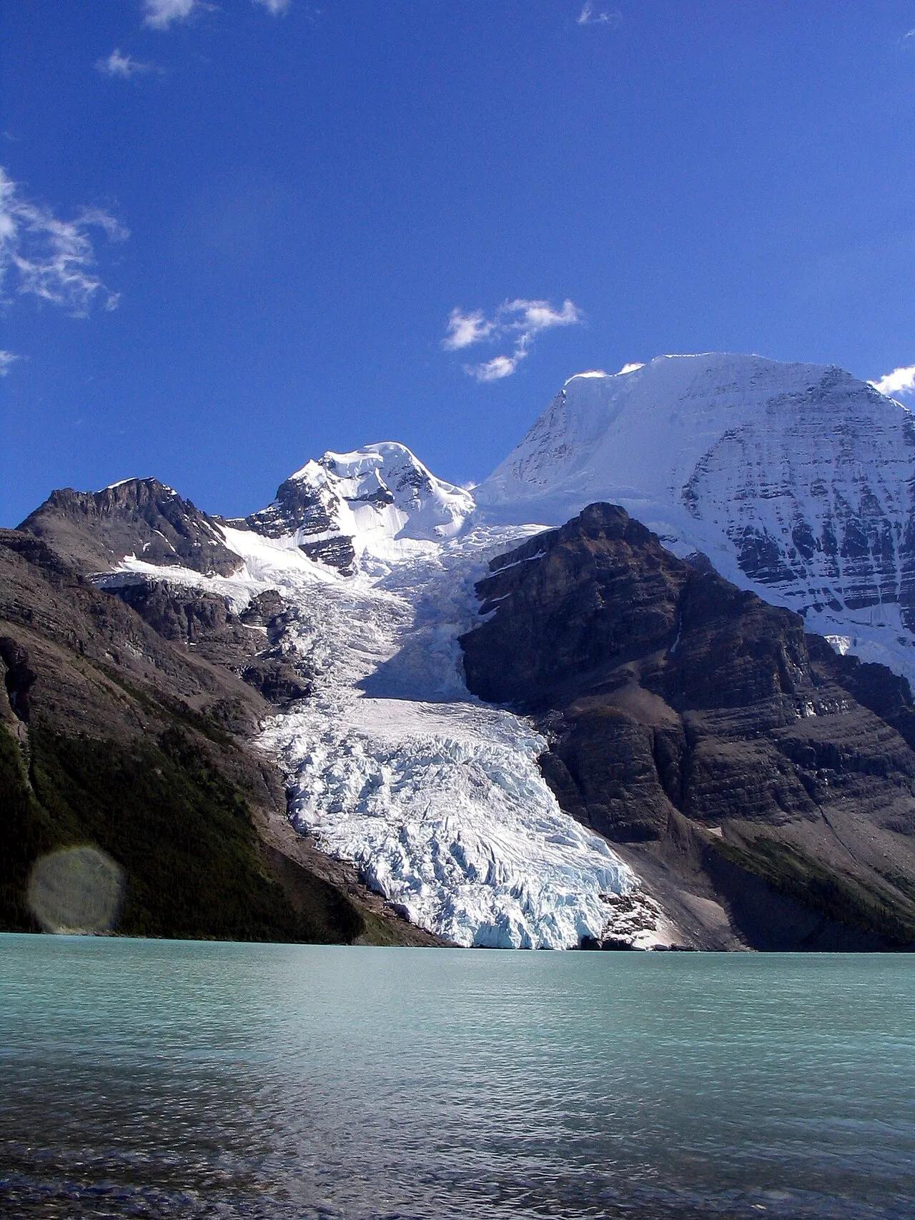
Mount Robson Provincial Park · Canadian Rockies & BC · Canada
Iceberg-calving Berg Glacier and 144-foot Emperor Falls beneath the 3,954-meter north face of Mount Robson, highest peak in the Canadian Rockies.
Photo: Airj1012 at English Wikipedia · CC BY 3.0