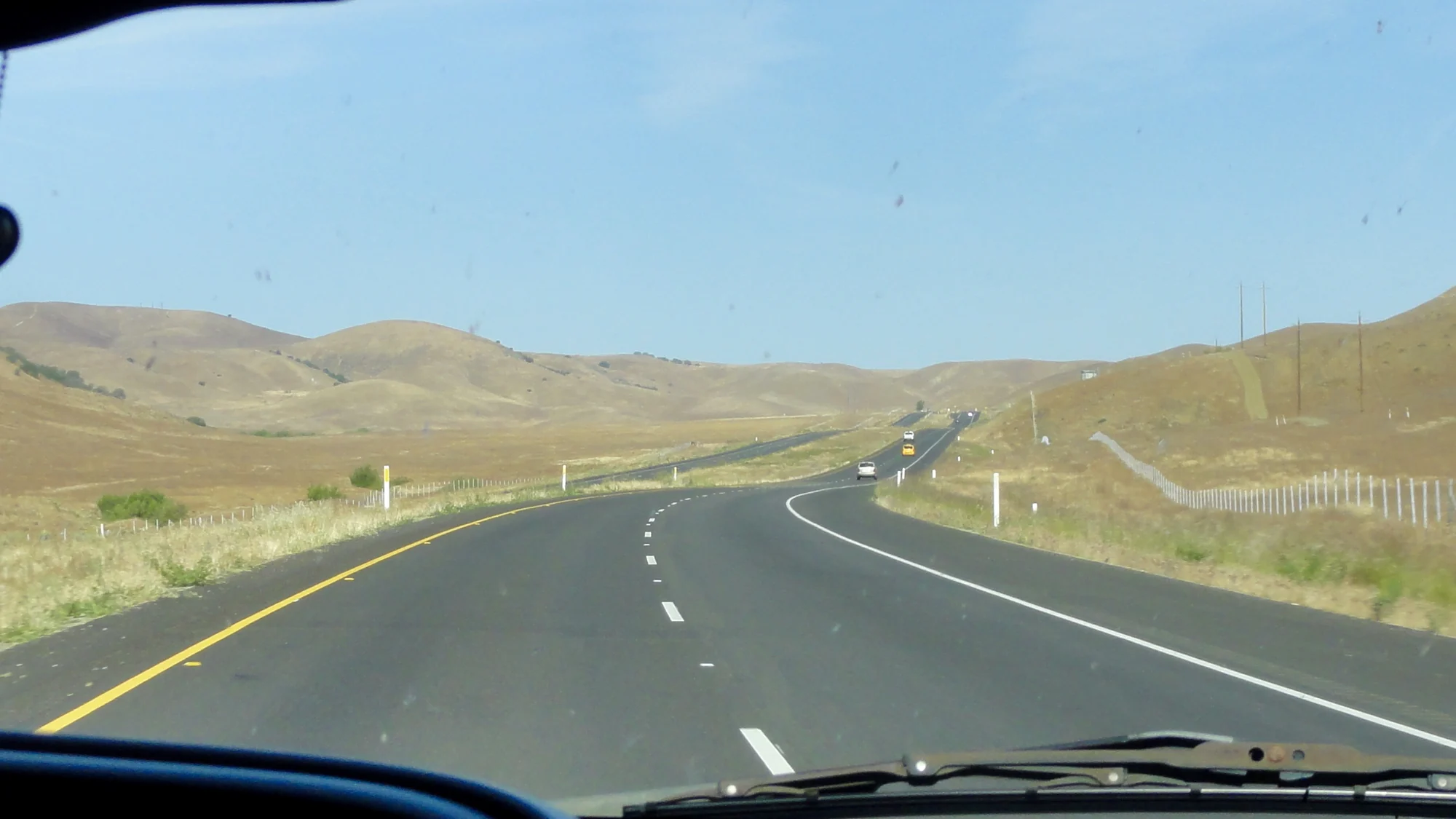
Mountain pass
Central Coast
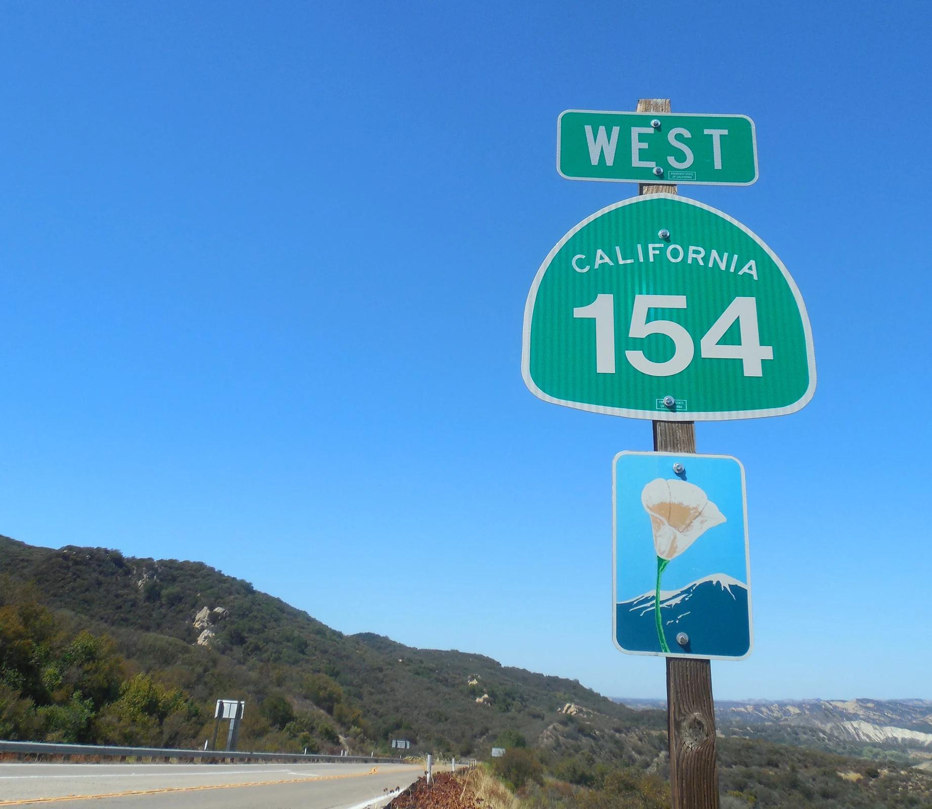
Polonio Pass
Verified California saddle at 1,407 ft in Central Coast.
- Route
- 2.9 mi
- Climb
- 361 ft
Browse & Discover
Overlooks, natural arches, sea caves, groves and wildlife reserves.
820 of 2,051 places
Drag to pan. Double-click, pinch or scroll to zoom. Keyboard: arrow keys and +/−. Cards below remain available.
Loading map… Browse the spot cards below at any time.

Eaton Canyon Natural Area
The waterfall at the head of lower Eaton Canyon, reached by a wide wash walk from the Eaton Canyon Nature Center and a final creekside scramble.
[scott.medling or en:user:scott.medling user:scott.medling from California, United States] · CC BY-SA 2.0. Source & image licence

Angeles National Forest
The ruined mountain resort of the Mount Lowe Railway, on a front-range promontory above Altadena at the top of the Lower Sam Merrill Trail.
Lennonrodgers at en.wikipedia · Public domain. Source & image licence

Escondido Canyon Park
A multi-tiered waterfall in Escondido Canyon above Malibu. The maintained trail ends at the base of the mossy lower tier.
Santa Monica Mountains National Recreation Area · Public domain. Source & image licence

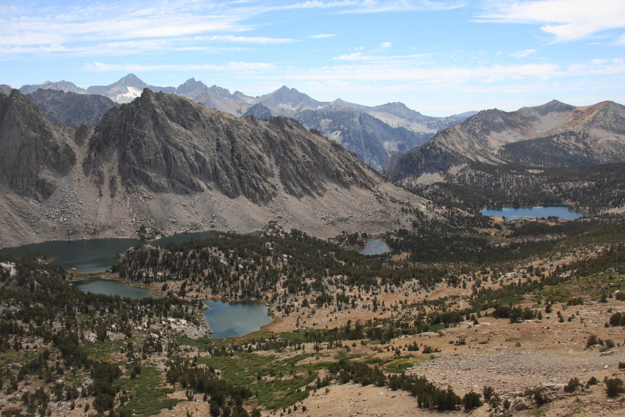
Inyo National Forest
A chain of small alpine lakes at the head of Little Lakes Valley in the John Muir Wilderness, below the 13,000-foot peaks of the Bear Creek Spire cirque.
Jane S. Richardson (talk · contribs) · CC BY-SA 3.0. Source & image licence

Angeles National Forest
A high saddle and five-way trail junction on the Cucamonga Wilderness ridge, at the top of the steady climb up Icehouse Canyon.
Jason Hollinger · CC BY 2.0. Source & image licence

Mount Tamalpais Watershed
A winter-and-spring cascade on Cataract Creek just below the Laurel Dell picnic area, reached downhill along the Cataract Trail from Rock Spring.
Richard Wood · CC BY-SA 3.0. Source & image licence

Angeles National Forest
A waterfall of about fifty feet filling the head of a narrow, shaded canyon, a short walk upstream from Millard Campground.
Region 5 Photography · Public domain. Source & image licence

Mission Peak Regional Preserve
The bare grassland summit above Fremont, marked by the Mission Peeker sighting pole and climbed by the Hidden Valley Trail from Stanford Avenue.
Oleg Alexandrov · CC BY-SA 3.0. Source & image licence

Angeles National Forest
The highest summit of the San Gabriel Mountains, reached from Baldy Notch along the exposed Devils Backbone ridge.
Darkest tree · CC BY-SA 4.0. Source & image licence

Inyo National Forest
A quiet lake in the Ansel Adams Wilderness beneath Parker Peak, reached through sage and an aspen-lined creek canyon off the June Lake Loop.
Mark Gunn from Novato, California, USA · CC BY 2.0. Source & image licence

Santa Monica Mountains National Recreation Area
The highest point in the Santa Monica Mountains, climbed from the Mishe Mokwa trailhead along the Backbone Trail at Circle X Ranch.
Wasquewhat · CC BY-SA 4.0. Source & image licence

Angeles National Forest
A 50-foot single drop into a shallow plunge pool, 1.7 mi up Big Santa Anita Canyon. Shaded the entire way in. The work is all on the walk out.
U.S. Department of Agriculture / USDA USFS · CC BY 2.0. Source & image licence

Santa Monica Mountains National Recreation Area
The ruins of the Roberts family ranch house at the end of the canyon-floor trail in Solstice Canyon, beside a small seasonal waterfall.
George Heras / Santa Monica Mountains National Recreation Area · Public domain. Source & image licence
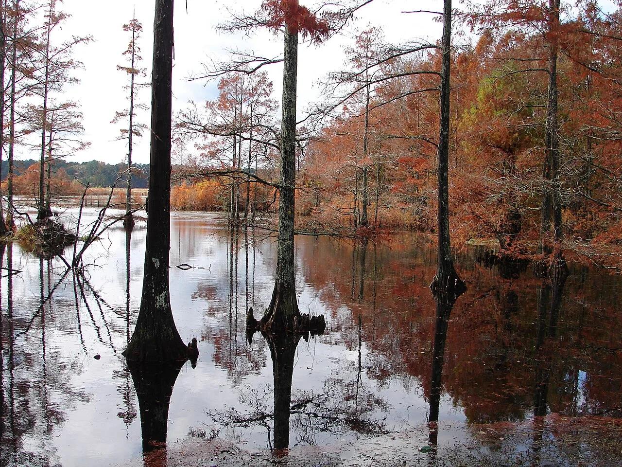
Sam D. Hamilton Noxubee National Wildlife Refuge · South & Gulf Coast · Mississippi
1,200-acre cypress-ringed wildlife refuge lake with overwater boardwalks, osprey platforms, and bottomland hardwood trails.
Photo: U.S. Fish and Wildlife Service Southeast Region · Public domain
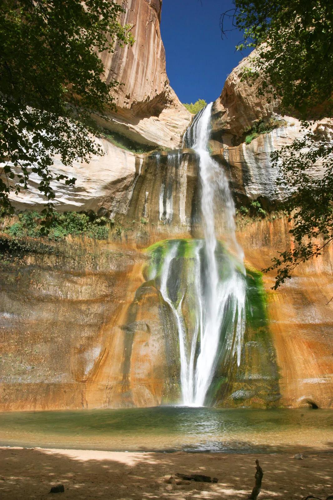
Grand Staircase-Escalante National Monument · Colorado Plateau · Utah
126-foot perennial desert waterfall plunging into a shaded emerald swimming pool streaked with desert varnish and mineral tapestry.
Photo: Greg Willis from Denver, CO, usa · CC BY-SA 2.0
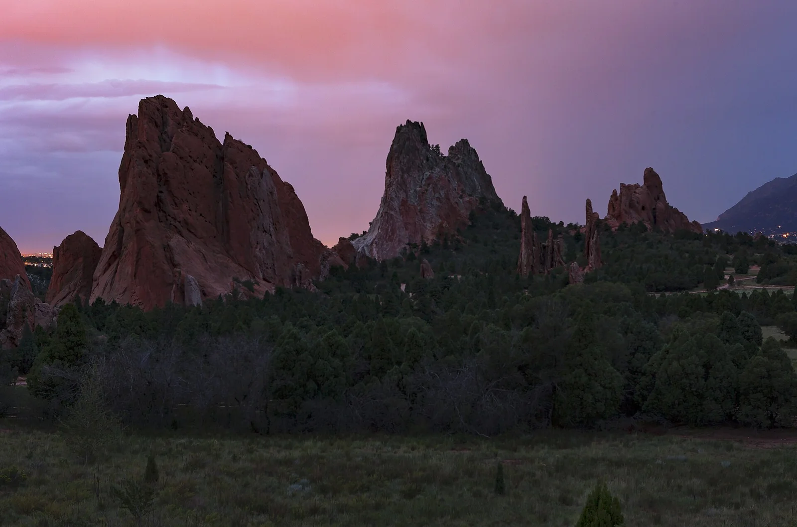
Garden of the Gods · Colorado & Rocky Mountains · Colorado
Towering 300-foot vertical sandstone rock spires framing Pikes Peak along a paved accessible garden pathway.
Photo: Janusz Sobolewski from Mississauga, Ontario, Canada · CC BY 2.0
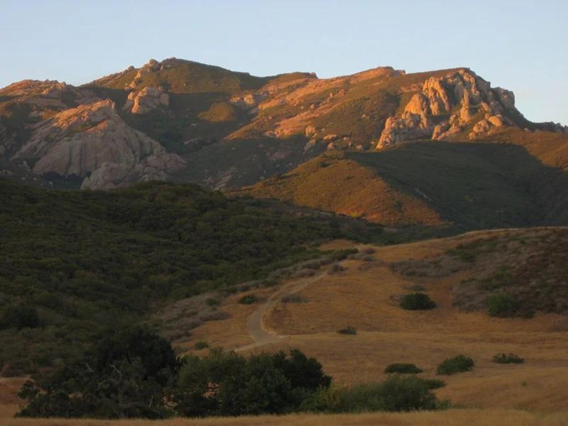
Santa Monica Mountains National Recreation Area · Santa Monica Mountains
Verified California saddle at 2,103 ft in Santa Monica Mountains National Recreation Area (Santa Monica Mountains). Linked to Backbone Trail.
Photo: Randy from Newbury Park, California, USA · CC BY 2.0
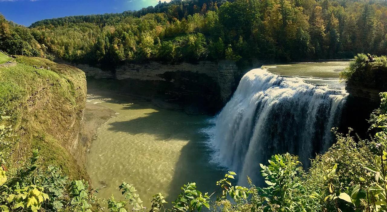
Letchworth State Park · Finger Lakes · New York
Known as the Grand Canyon of the East, the 550-foot gorge carved by the Genesee River roars past the 107-foot Middle Falls and Inspiration Point.
Photo: Andre Carrotflower · CC BY-SA 4.0
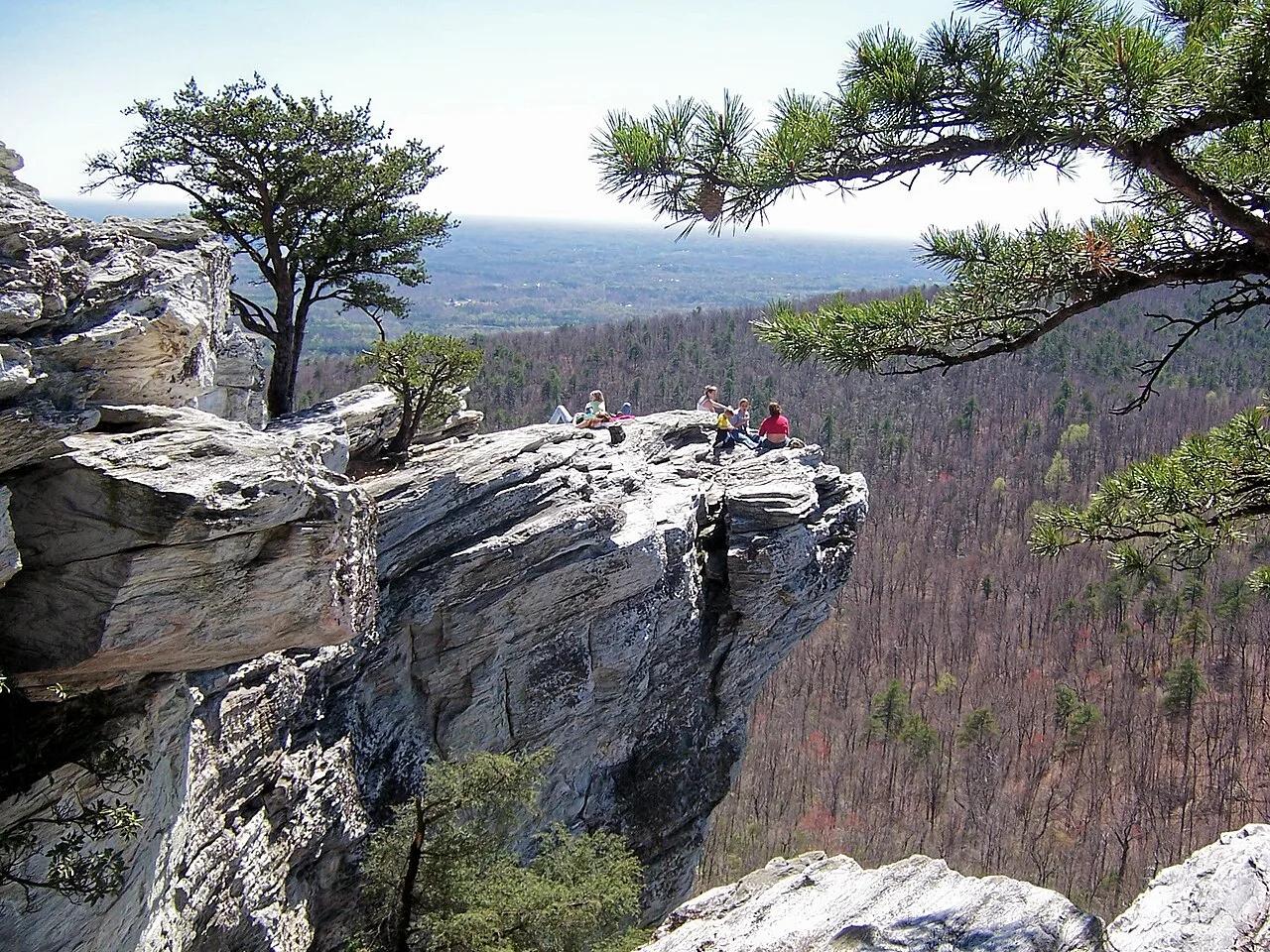
Hanging Rock State Park (Sauratown Mountains) · Appalachian & Blue Ridge · North Carolina
Isolated quartzite monadnock cliffs rising above the Piedmont with five spring-fed mountain waterfalls including Lower Cascades and Tory's Den.
Photo: Jacalyn Engler from Greensboro, United States · CC BY-SA 2.0
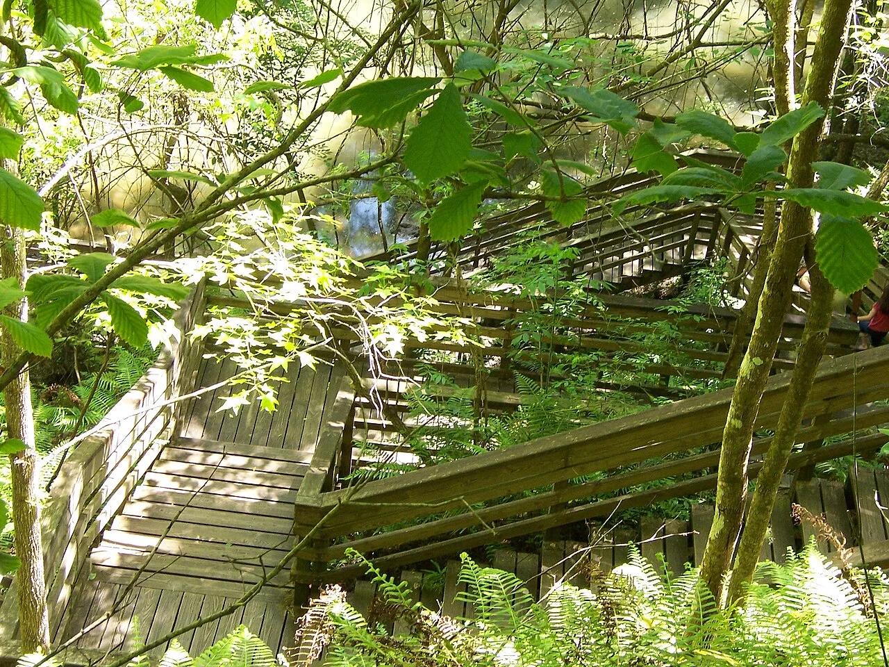
Devil's Millhopper Geological State Park (Gainesville) · Atlantic & Gulf Coasts · Florida
120-foot-deep, 500-foot-wide collapsed limestone karst sinkhole harboring a cool Appalachian-style miniature rainforest fed by 12 rim waterfalls.
Photo: Ken Watford · Public domain
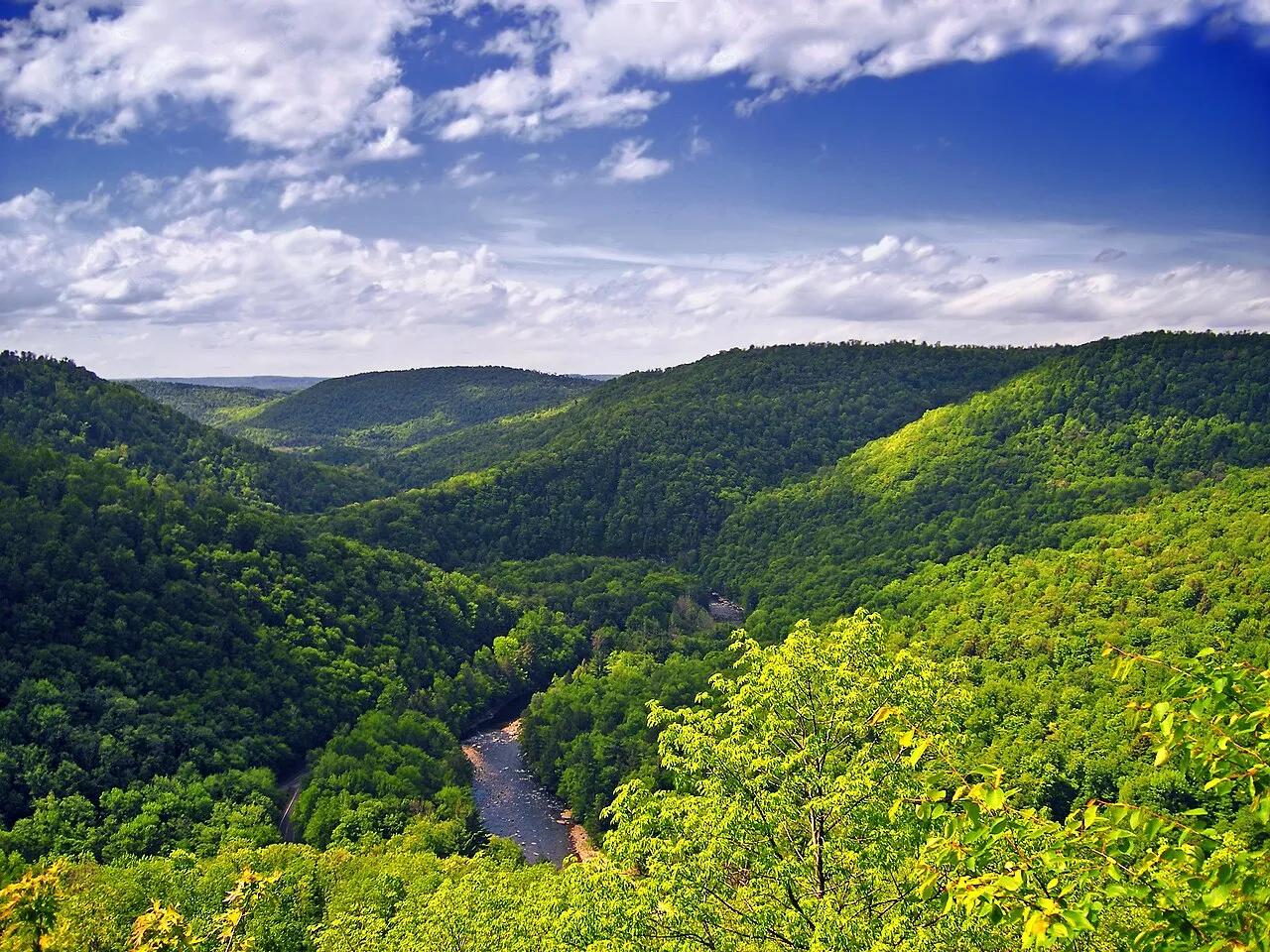
Worlds End State Park / Loyalsock State Forest · Endless Mountains · Pennsylvania
An S-shaped canyon carved 1,000 feet deep through the Endless Mountains plateau by the rushing waters of Loyalsock Creek.
Photo: Nicholas · CC BY 2.0
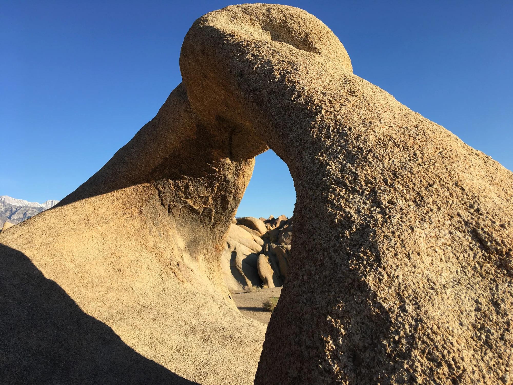
Eastern Sierra
Verified California arch in Eastern Sierra.
Photo: Clyde Charles Brown · CC BY-SA 4.0
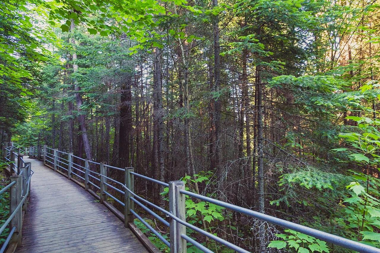
Grand Portage State Park · Arrowhead · Minnesota
Thunderous 120-foot waterfall roaring across a diabase sill on the US-Canada international border, navigated by an accessible riverside boardwalk.
Photo: Tony Webster from Minneapolis, Minnesota, United States · CC BY-SA 2.0
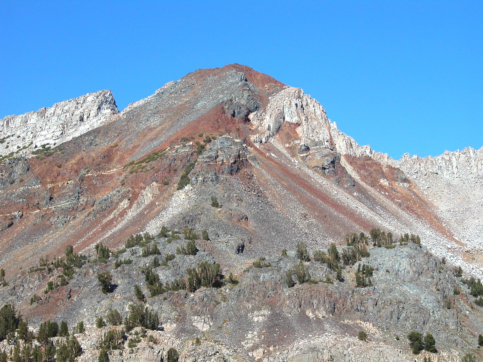
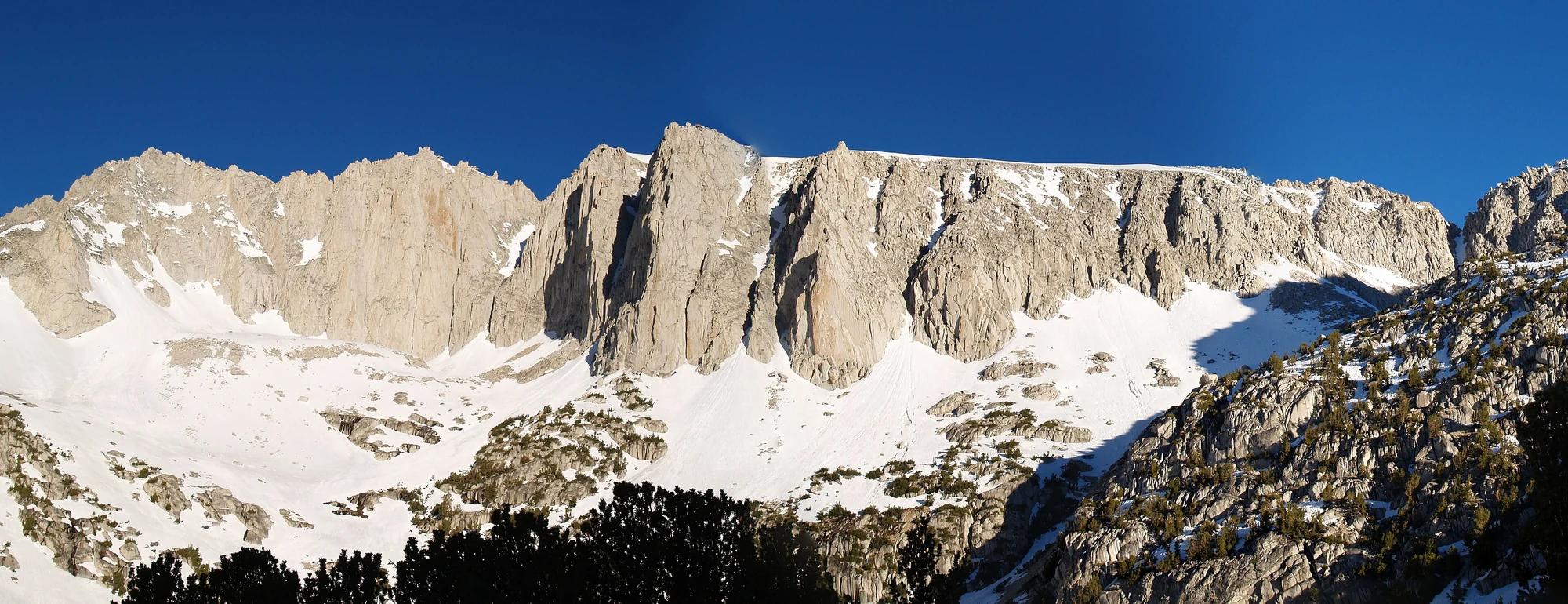
Inyo National Forest · Yosemite & Central Sierra
Verified California peak at 11,759 ft in Inyo National Forest (Yosemite & Central Sierra).
Photo: Feist, Michael - FunnyFence - catchthefuture · CC BY-SA 2.0
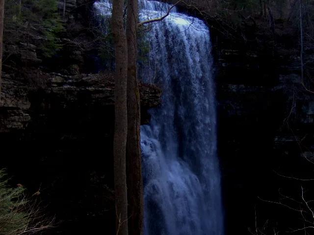
Virgin Falls State Natural Area · Appalachian & Blue Ridge · Tennessee
110-foot underground stream that emerges from a sandstone cave, plunges over a cliff, and disappears directly into another cave at the bottom.
Photo: Brian Stansberry · CC BY 3.0
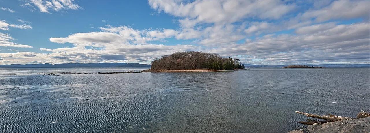
Island Line Rail Trail / Colchester Causeway Park · Lake Champlain Valley · Vermont
A 3-mile historic marble-block railroad causeway extending straight into open waters across Lake Champlain with a seasonal bike ferry.
Photo: Chris Rycroft from Madison, Wisconsin, United States · CC BY 2.0
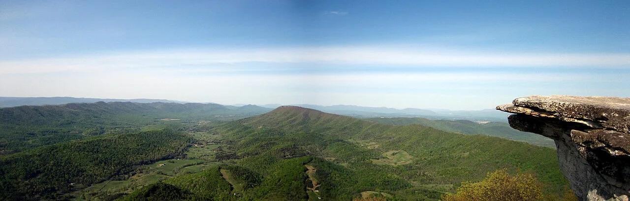
Jefferson National Forest (Catawba) · Appalachian & Blue Ridge · Virginia
35-foot vertical spire of Tuscarora quartzite jutting from the knife-edge crest of Cove Mountain along Virginia's Triple Crown.
Photo: Something Original (talk) · CC BY-SA 3.0
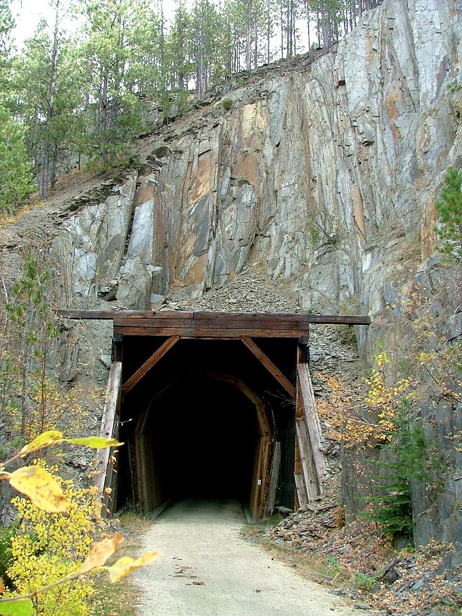
George S. Mickelson Trail (Black Hills NF) · Black Hills · South Dakota
Hall of Fame 109-mile rail-trail through the heart of the Black Hills, crossing over 100 converted railroad trestles and four hard-rock tunnels.
Photo: Jeff Goetz · CC BY-SA 3.0
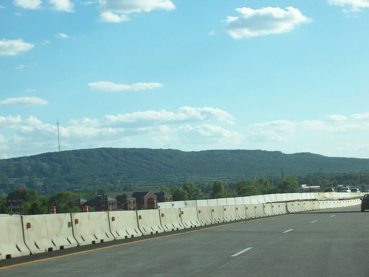
Rib Mountain State Park · Central Wisconsin · Wisconsin
Ancient 1.7-billion-year-old quartzite monadnock rising 800 feet above the Wisconsin River plains, offering 30-mile vistas from its historic observation tower.
Photo: User:Royalbroil · CC BY-SA 2.5
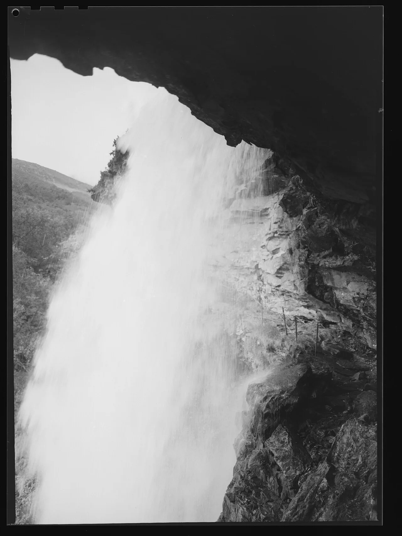
West Norwegian Fjords UNESCO World Heritage · Nordic & Arctic · Norway
Sherpa-built stone steps above Geirangerfjord leading to a thundering alpine waterfall with a safe rock ledge directly behind the curtain.
Photo: Jac Brun · Public domain
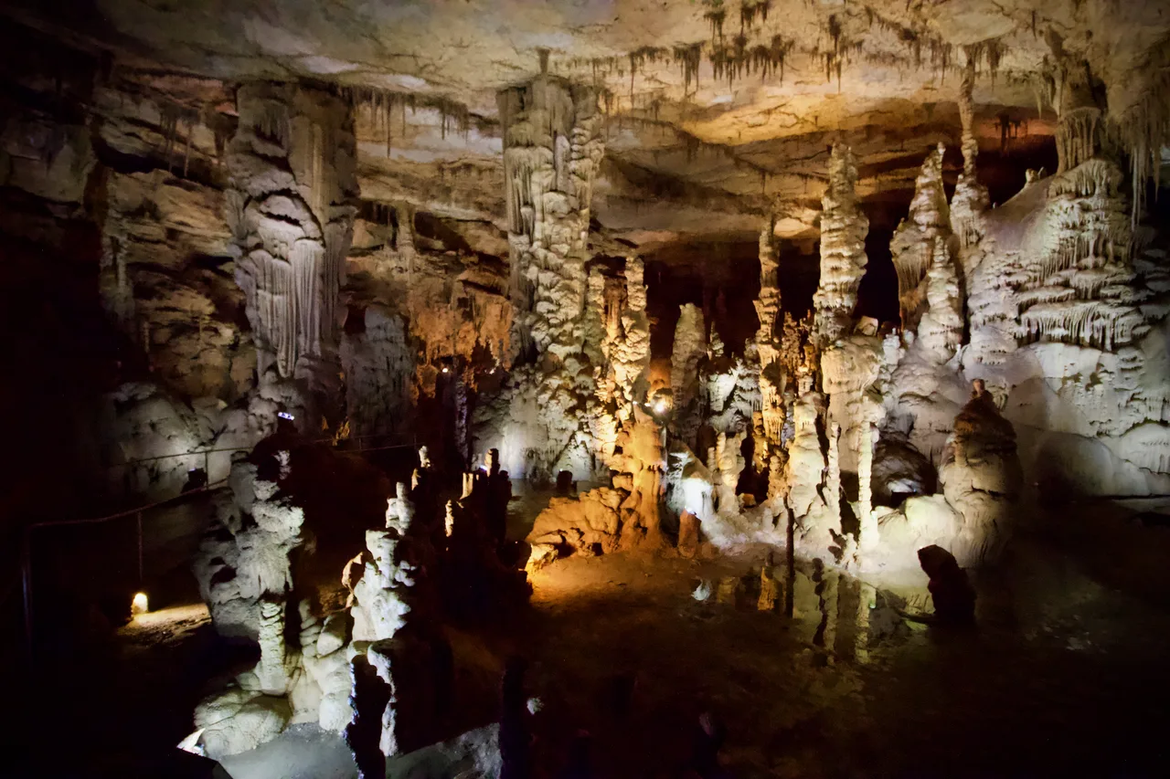
Cathedral Caverns State Park (Woodville) · Appalachian & Blue Ridge · Alabama
Massive 126-foot-wide, 25-foot-high cavern entrance opening into a subterranean limestone canyon housing a 45-foot stalagmite and underground waterfall.
Photo: Diegoandrade · CC BY-SA 4.0
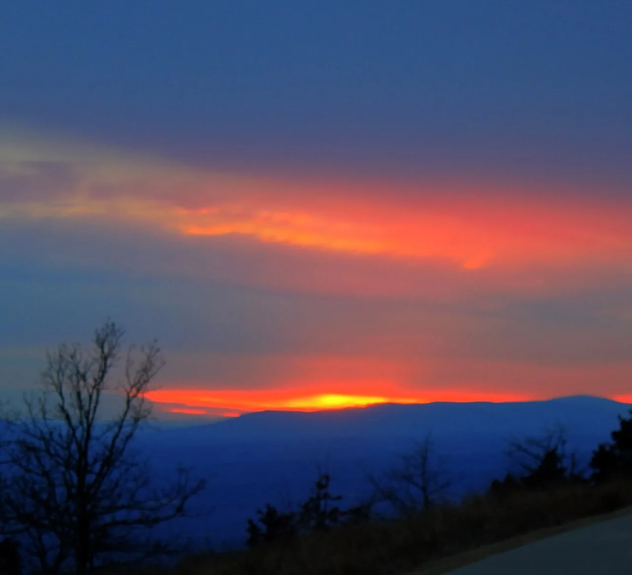
Mount Magazine State Park (Ozark-St. Francis NF) · South & Gulf Coast · Arkansas
Highest point in Arkansas (2,753 ft) crowned by sheer sandstone hang-gliding cliffs overlooking the Petit Jean River Valley.
Photo: Yinan Chen · Public domain
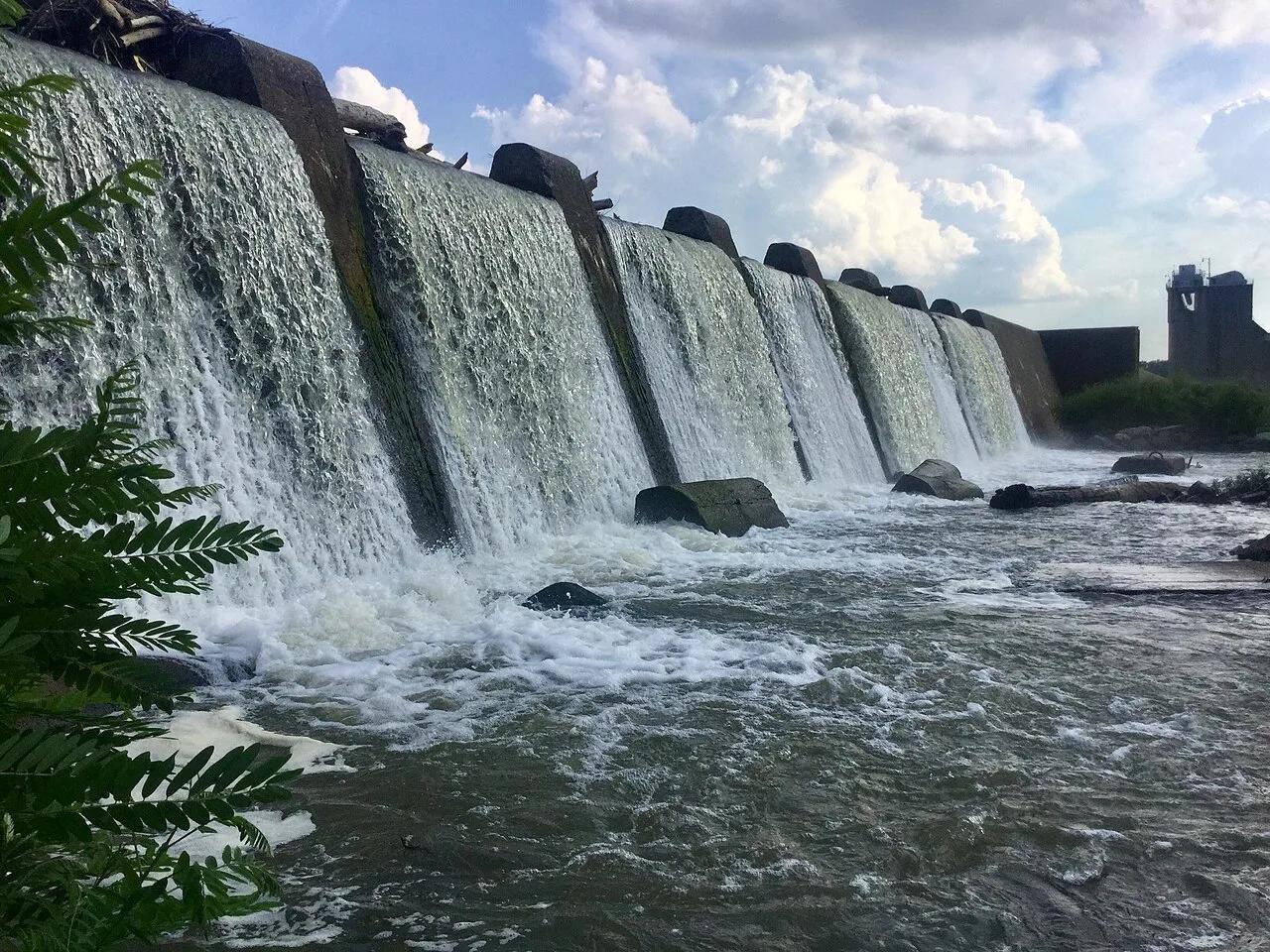
Falls of the Ohio State Park · Ohio River / Clarksville · Indiana
One of the world's largest naturally exposed 390-million-year-old Devonian fossil coral beds, accessible directly on foot across Ohio River limestone ledges.
Photo: Darkstarcrashes · CC BY-SA 4.0
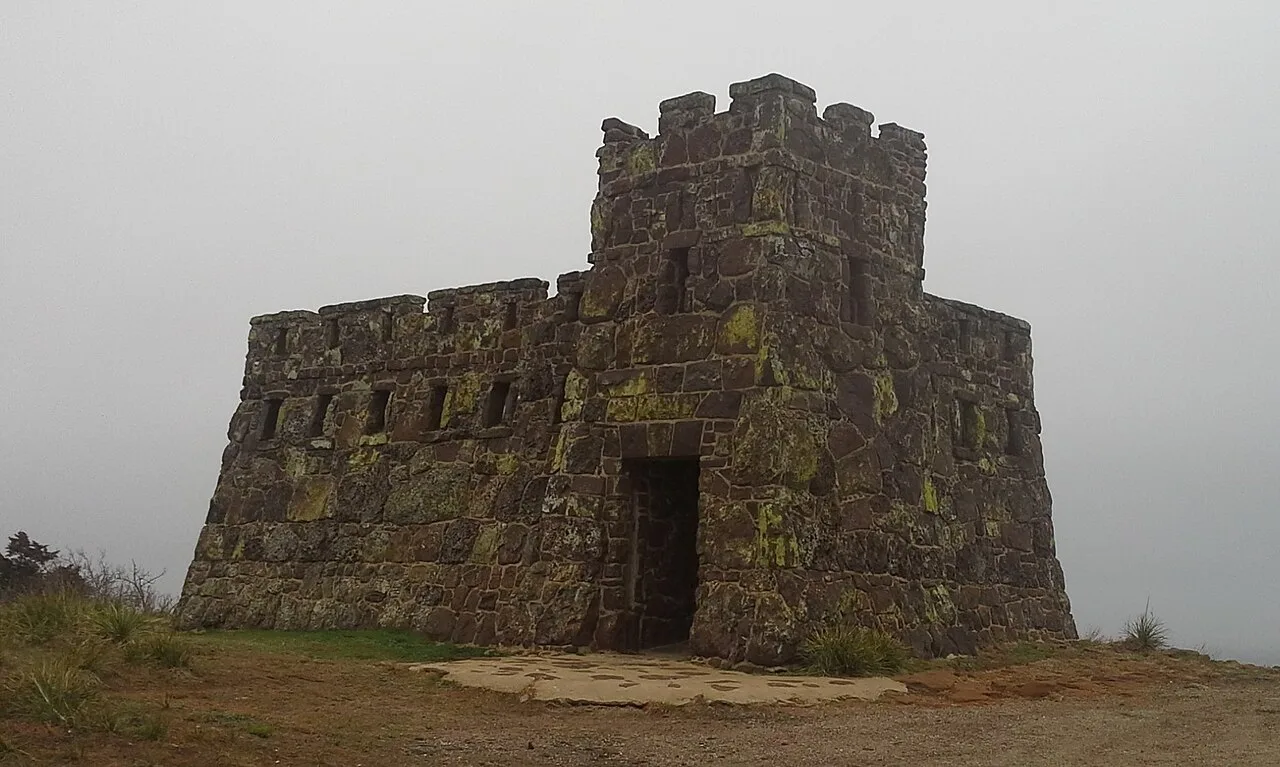
Coronado Heights Park (Lindsborg) · Smoky Hills · Kansas
WPA sandstone castle perched 300 feet above the Smoky Hill River valley where Spanish explorer Coronado looked in vain for the golden Seven Cities of Cíbola.
Photo: Swampyank · CC BY-SA 3.0
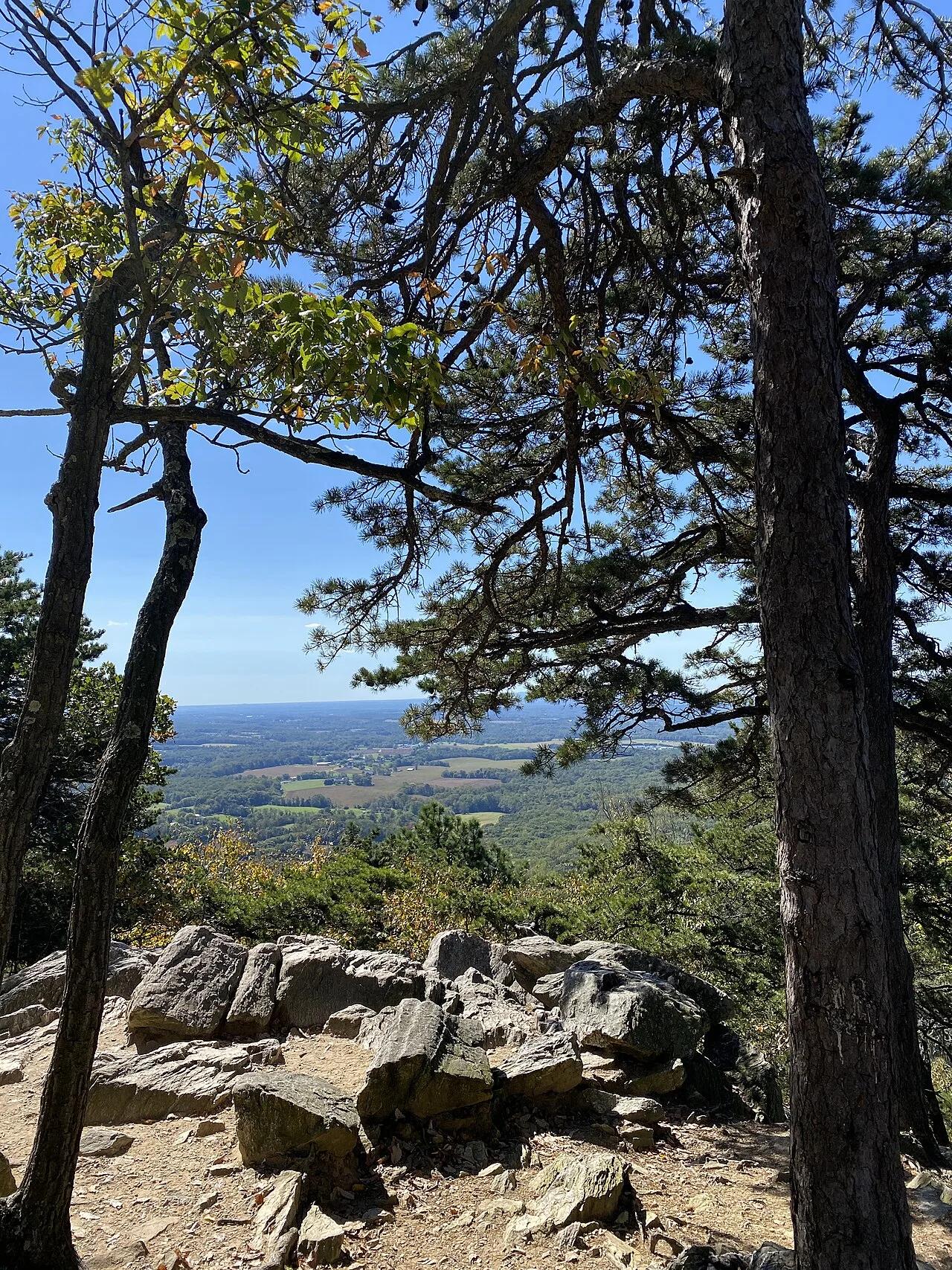
Sugarloaf Mountain Natural Landmark · Piedmont / Frederick County · Maryland
An isolated quartzite monadnock rising 800 feet above the surrounding farmland with sweeping views of the Blue Ridge and Monocacy River.
Photo: TheTurducken · CC BY 2.0
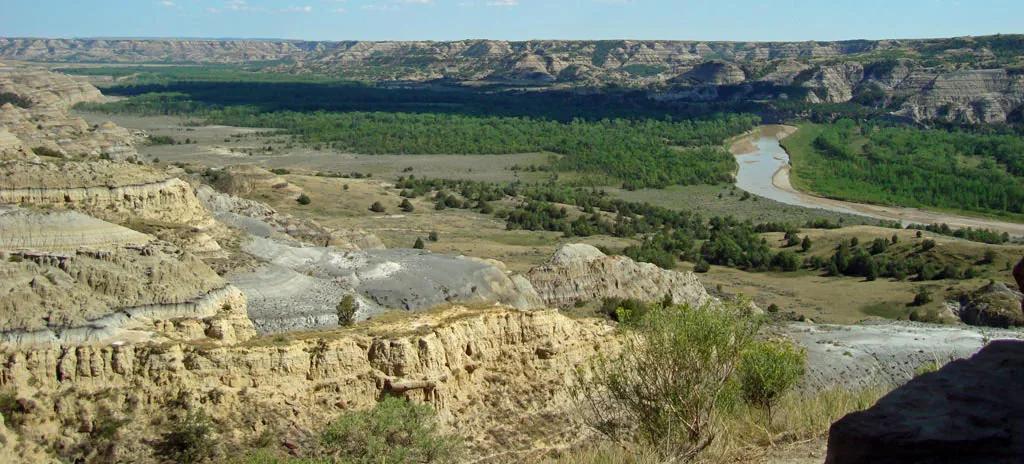
Little Missouri State Park (Killdeer) · Great Plains & Heartland · North Dakota
6,400 acres of rugged badlands hoodoos, bentonite clay domes, and juniper coulees overlooking the winding Little Missouri River.
Photo: National Park Service; uploaded by User:Finetooth · Public domain