Waterfall
Willamette National Forest · Central Cascades · Oregon
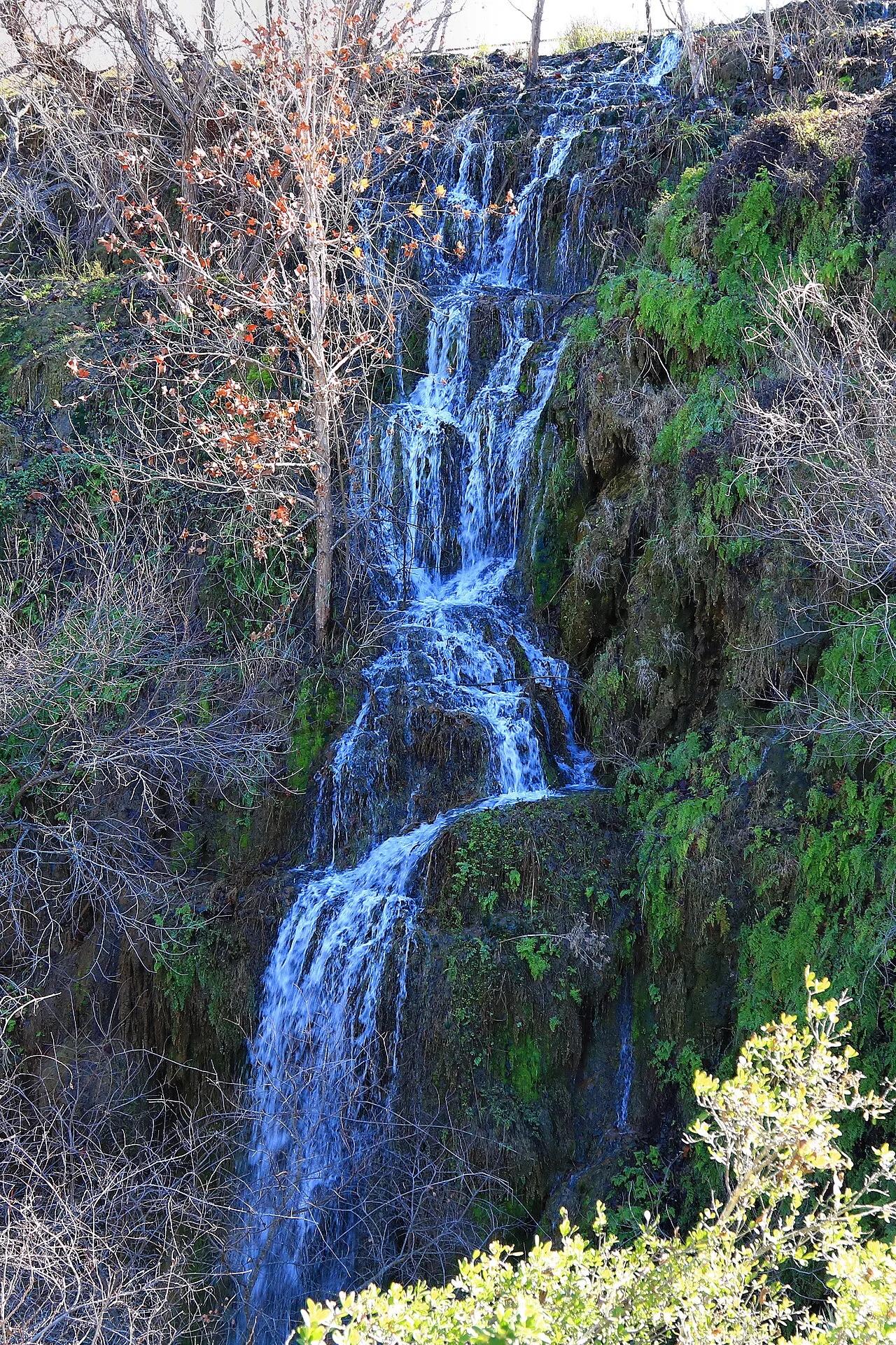
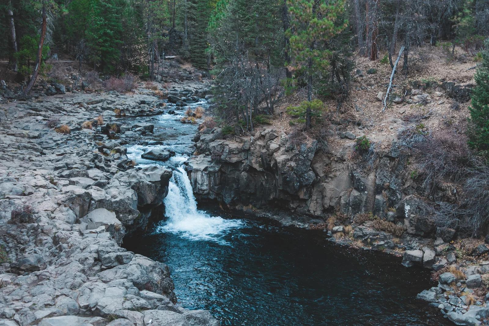
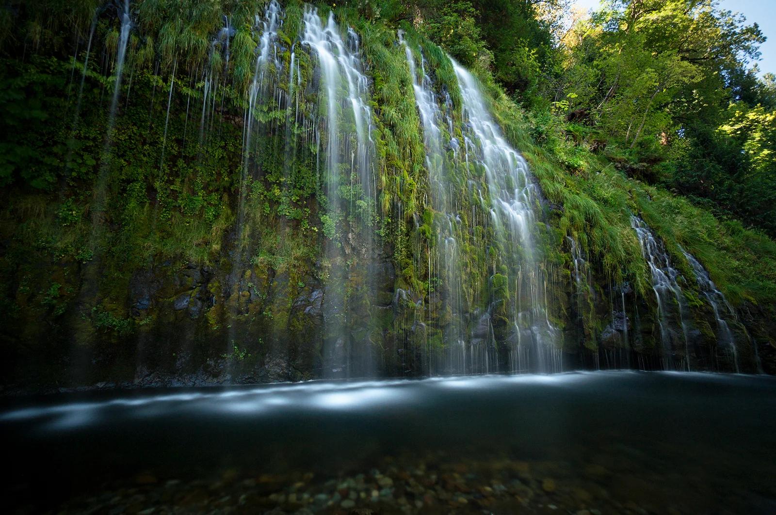
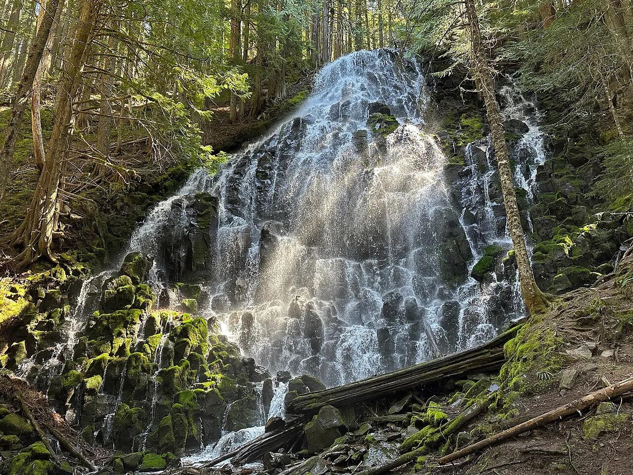
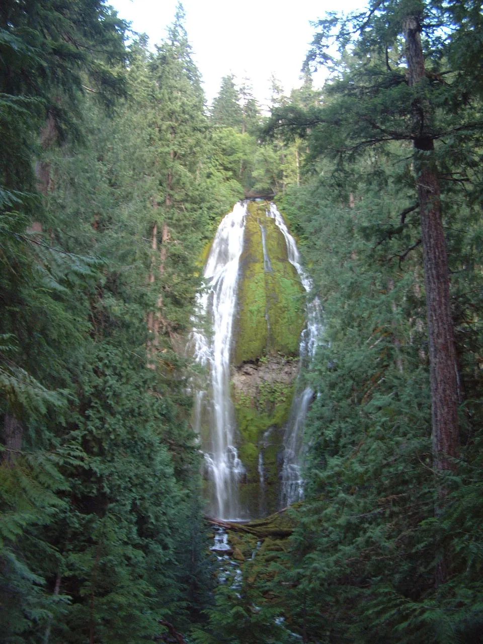
Proxy Falls
Delicate veil of spring water cascading 226 feet across moss-draped basalt amphitheaters in the Three Sisters Wilderness.
- Route
- 1.6 mi
- Climb
- 148 ft
Browse & Discover
Overlooks, natural arches, sea caves, groves and wildlife reserves.
820 of 2,051 places
Drag to pan. Double-click, pinch or scroll to zoom. Keyboard: arrow keys and +/−. Cards below remain available.
Loading map… Browse the spot cards below at any time.

Eaton Canyon Natural Area
The waterfall at the head of lower Eaton Canyon, reached by a wide wash walk from the Eaton Canyon Nature Center and a final creekside scramble.
[scott.medling or en:user:scott.medling user:scott.medling from California, United States] · CC BY-SA 2.0. Source & image licence

Angeles National Forest
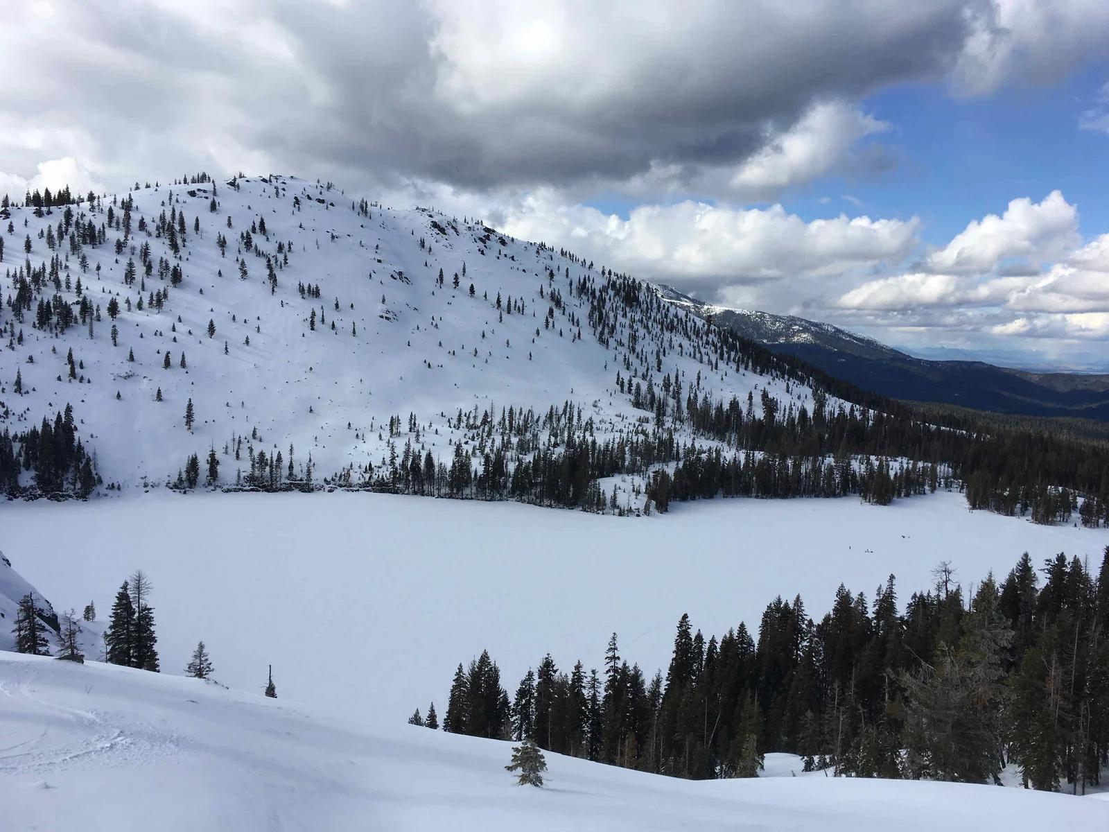
The ruined mountain resort of the Mount Lowe Railway, on a front-range promontory above Altadena at the top of the Lower Sam Merrill Trail.
Lennonrodgers at en.wikipedia · Public domain. Source & image licence

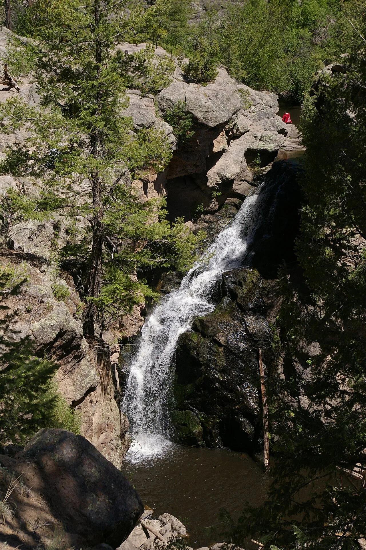
Escondido Canyon Park
A multi-tiered waterfall in Escondido Canyon above Malibu. The maintained trail ends at the base of the mossy lower tier.
Santa Monica Mountains National Recreation Area · Public domain. Source & image licence

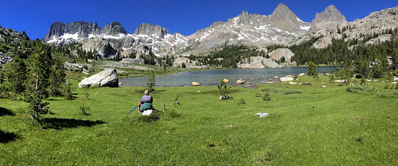
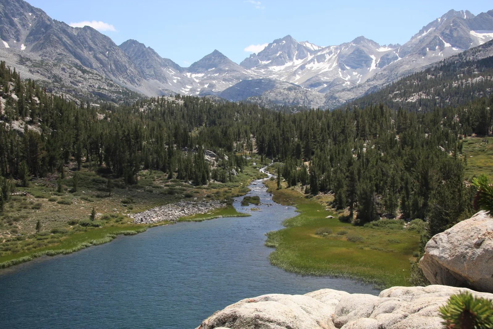
Inyo National Forest
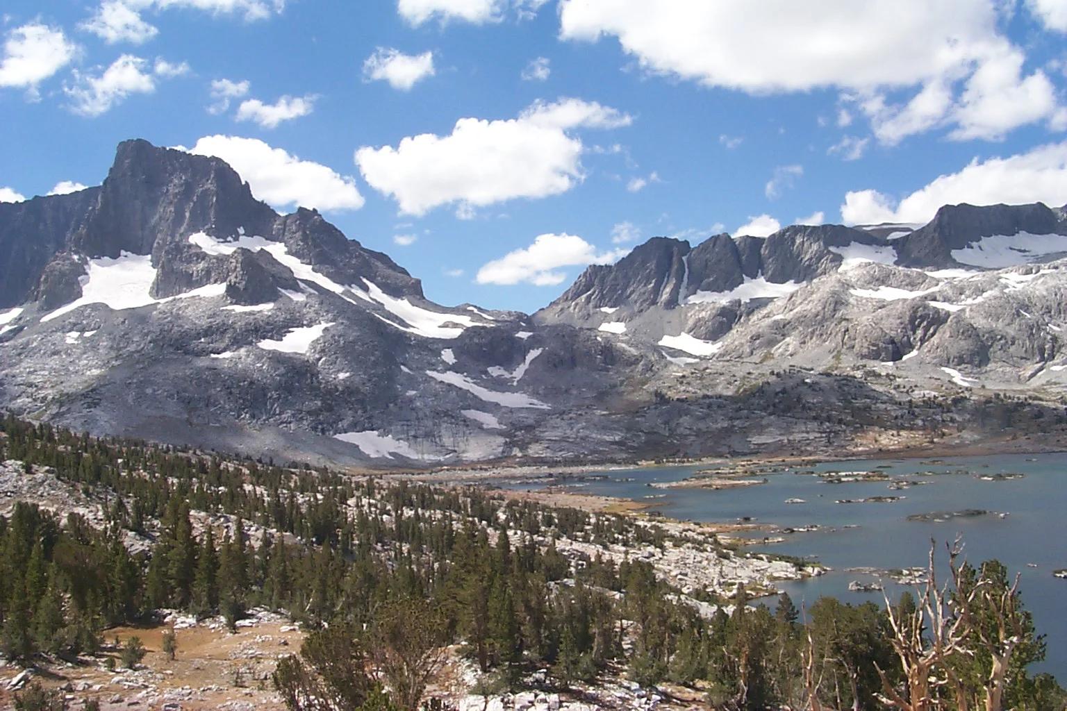
A chain of small alpine lakes at the head of Little Lakes Valley in the John Muir Wilderness, below the 13,000-foot peaks of the Bear Creek Spire cirque.
Jane S. Richardson (talk · contribs) · CC BY-SA 3.0. Source & image licence

Angeles National Forest
A high saddle and five-way trail junction on the Cucamonga Wilderness ridge, at the top of the steady climb up Icehouse Canyon.
Jason Hollinger · CC BY 2.0. Source & image licence

Mount Tamalpais Watershed
A winter-and-spring cascade on Cataract Creek just below the Laurel Dell picnic area, reached downhill along the Cataract Trail from Rock Spring.
Richard Wood · CC BY-SA 3.0. Source & image licence

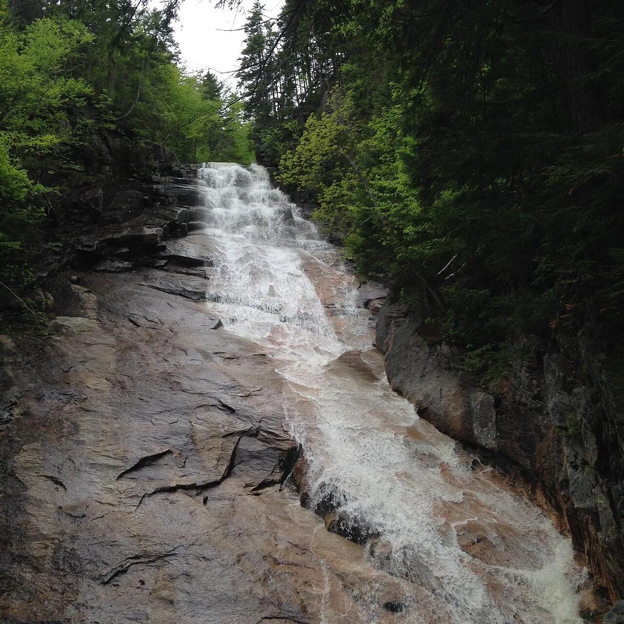
Angeles National Forest
A waterfall of about fifty feet filling the head of a narrow, shaded canyon, a short walk upstream from Millard Campground.
Region 5 Photography · Public domain. Source & image licence

Mission Peak Regional Preserve
The bare grassland summit above Fremont, marked by the Mission Peeker sighting pole and climbed by the Hidden Valley Trail from Stanford Avenue.
Oleg Alexandrov · CC BY-SA 3.0. Source & image licence

Angeles National Forest
The highest summit of the San Gabriel Mountains, reached from Baldy Notch along the exposed Devils Backbone ridge.
Darkest tree · CC BY-SA 4.0. Source & image licence

Inyo National Forest
A quiet lake in the Ansel Adams Wilderness beneath Parker Peak, reached through sage and an aspen-lined creek canyon off the June Lake Loop.
Mark Gunn from Novato, California, USA · CC BY 2.0. Source & image licence

Santa Monica Mountains National Recreation Area
The highest point in the Santa Monica Mountains, climbed from the Mishe Mokwa trailhead along the Backbone Trail at Circle X Ranch.
Wasquewhat · CC BY-SA 4.0. Source & image licence

Angeles National Forest
A 50-foot single drop into a shallow plunge pool, 1.7 mi up Big Santa Anita Canyon. Shaded the entire way in. The work is all on the walk out.
U.S. Department of Agriculture / USDA USFS · CC BY 2.0. Source & image licence

Santa Monica Mountains National Recreation Area
The ruins of the Roberts family ranch house at the end of the canyon-floor trail in Solstice Canyon, beside a small seasonal waterfall.
George Heras / Santa Monica Mountains National Recreation Area · Public domain. Source & image licence
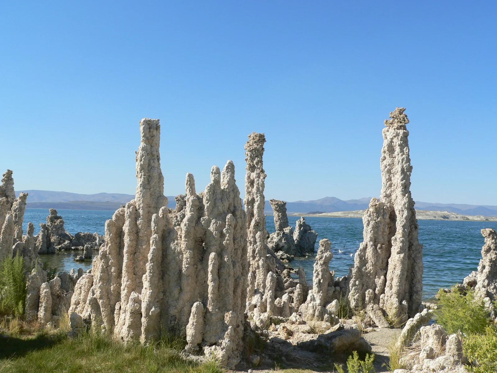
Mono Lake Tufa State Natural Reserve · Eastern Sierra
Surreal limestone tufa spires rising like alien towers from an ancient hyper-saline lake against the backdrop of the Sierra Nevada escarpment.
Photo: Yukinobu Zengame from Cupertino, United States · CC BY 2.0
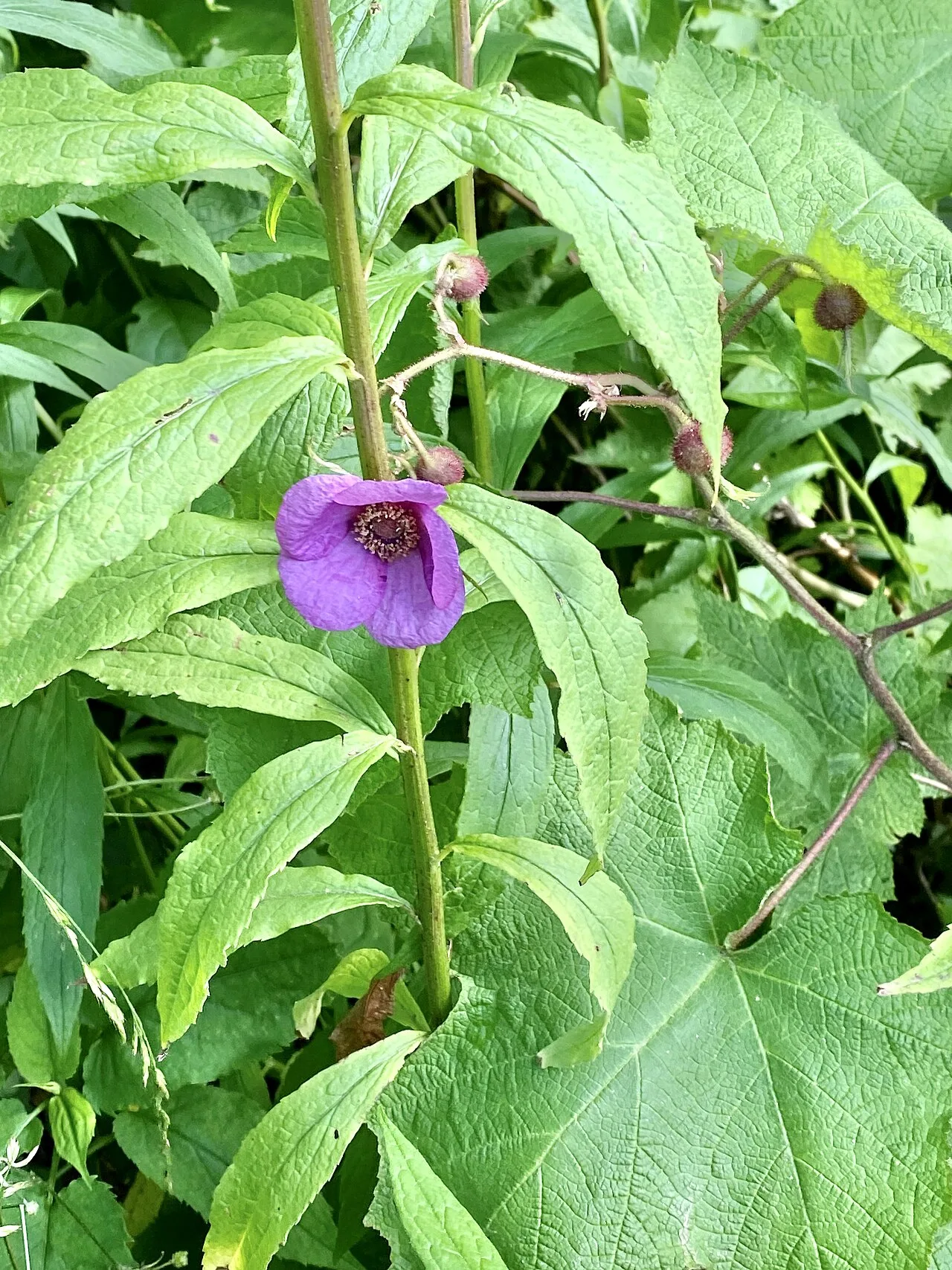
Blue Ridge Parkway / Grandfather Mountain · Appalachian & Blue Ridge · North Carolina
Cantilevered wooden boardwalk protecting rare high-altitude sedge and heller's blazing star across jagged Grandfather Mountain rocky crags.
Photo: w_lemay · CC BY-SA 2.0
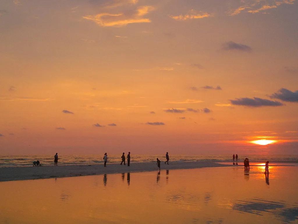
Honeymoon Island State Park (Dunedin) · Atlantic & Gulf Coasts · Florida
Paved Gulf Coast rail-trail and turquoise causeway crossing St. Joseph Sound to osprey-nested slash pine forests and shell beaches.
Photo: jonathan c. wheeler · CC BY-SA 3.0
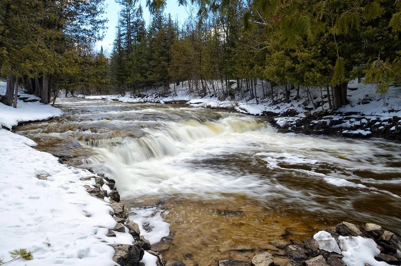
Ocqueoc Falls State Forest Campground · Northern Lower Peninsula · Michigan
The only universally accessible waterfall in the United States and the largest waterfall in Michigan's Lower Peninsula, cascading over limestone bedrock ledges.
Photo: Tony Faiola from Mid-Michigan, U.S.A. · CC BY 2.0
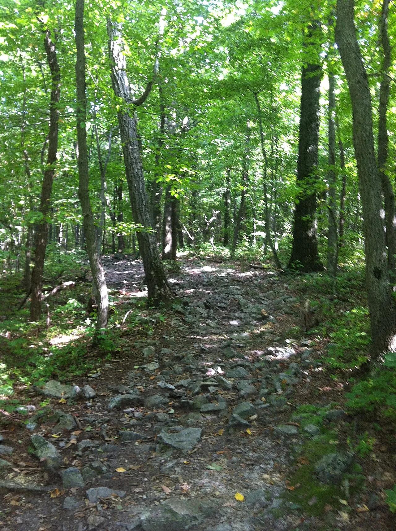
Appalachian National Scenic Trail (Hamburg) · Berks County / Blue Mountain · Pennsylvania
One of the most famous vistas on the Pennsylvania Appalachian Trail, jutting over the Lehigh Valley on a dramatic quartzite ledge.
Photo: Relock2 · CC BY-SA 4.0
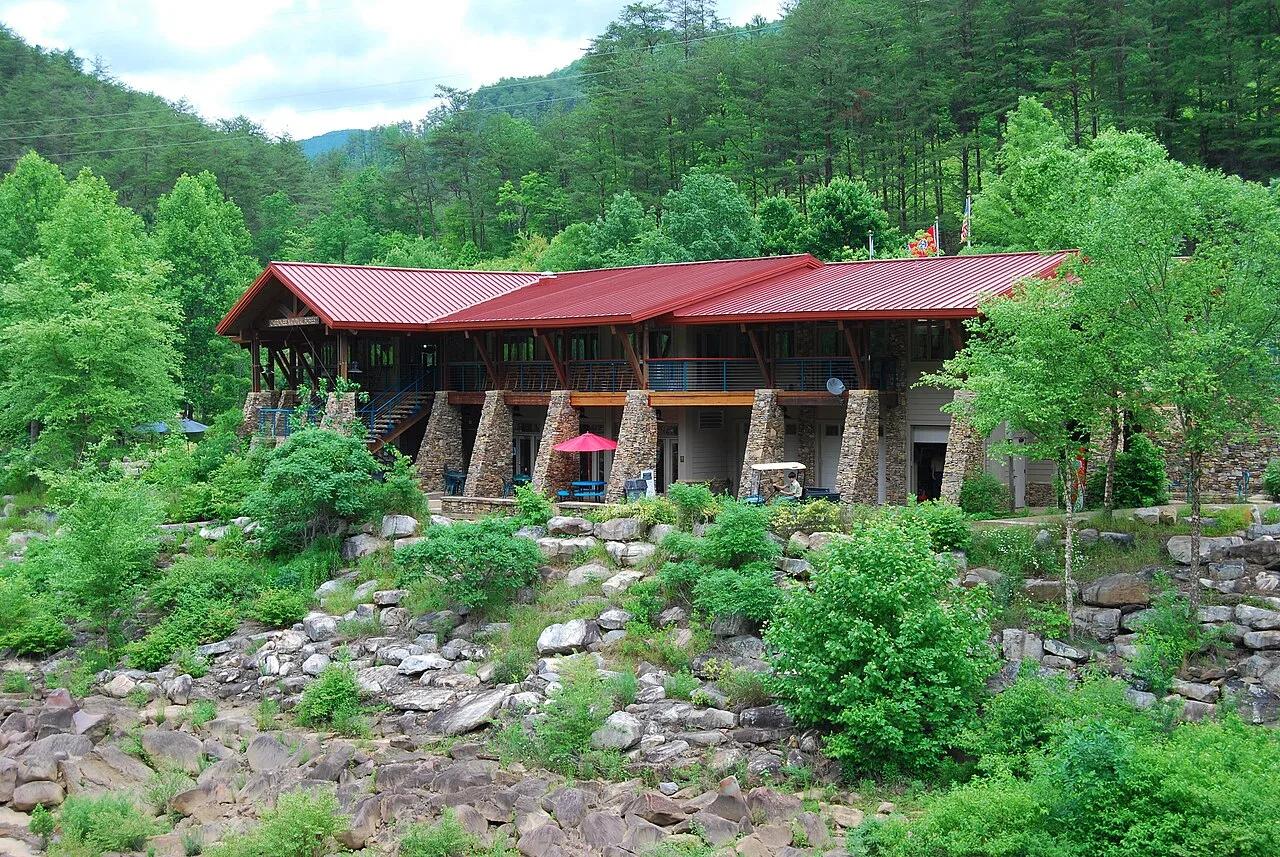
Cherokee National Forest (Ocoee River Gorge) · Appalachian & Blue Ridge · Tennessee
1996 Olympic slalom boulder rapids and suspension footbridge in the copper-walled Ocoee River Gorge, linked to the Tanasi mountain bike network.
Photo: Parkerdr · CC BY-SA 3.0
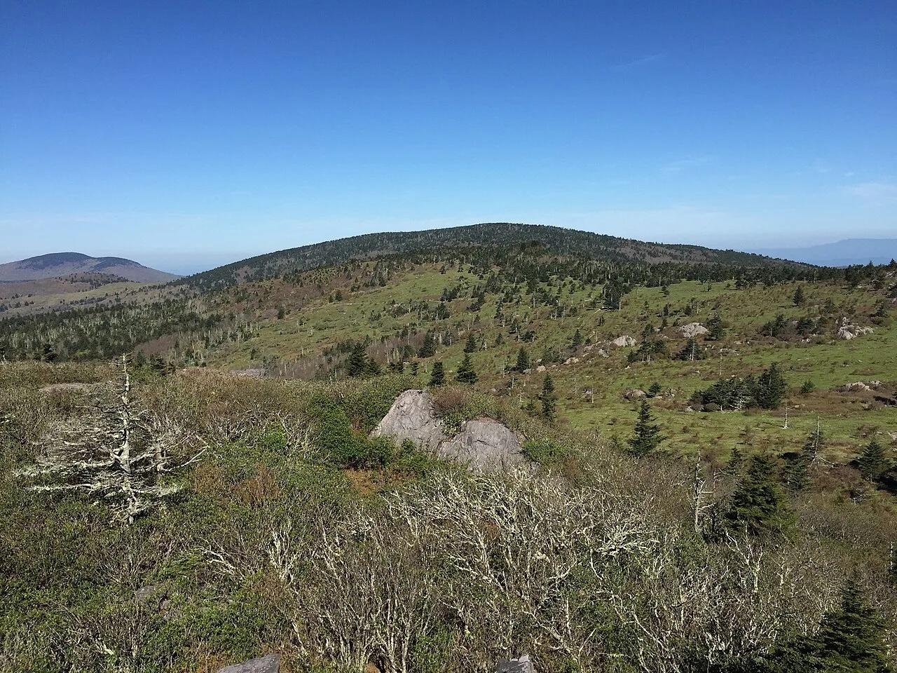
Mount Rogers National Recreation Area · Appalachian & Blue Ridge · Virginia
High-elevation red spruce-Fraser fir sky island and rhyolite boulder balds grazed by wild Grayson Highlands ponies along the Appalachian Trail.
Photo: Famartin · CC BY-SA 4.0
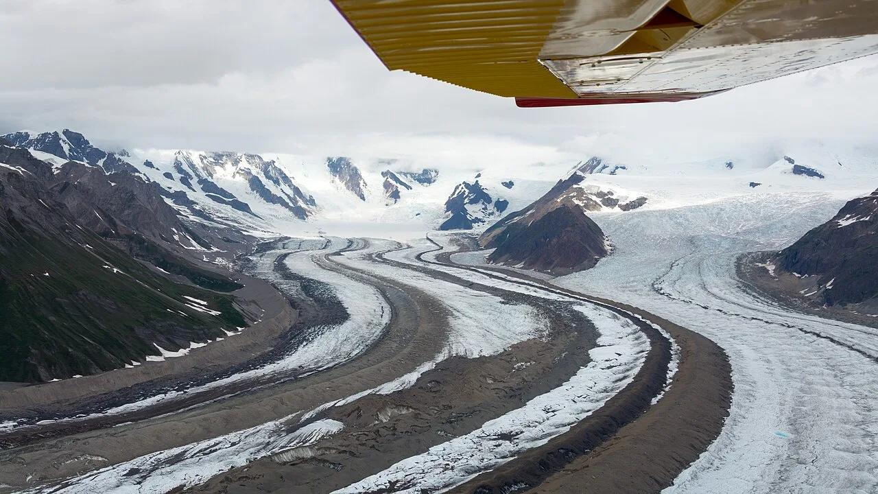
Wrangell-St. Elias National Park & Preserve (McCarthy) · Alaska
Walk directly onto the brilliant blue ice pools and moulins of the Root Glacier beneath 16,390-foot Mount Blackburn in America's largest national park.
Photo: Christoph Strässler from Oberdorf BL, Schweiz · CC BY-SA 2.0
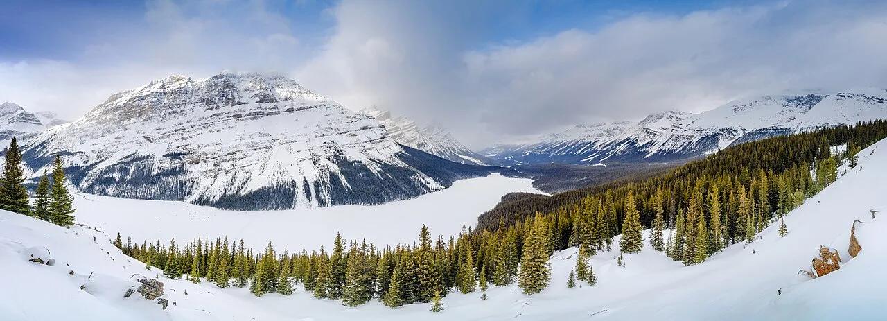
Banff National Park (Icefields Parkway) · Canadian Rockies & BC · Canada
The highest viewpoint on the Icefields Parkway overlooking wolf-head-shaped Peyto Lake glowing neon cyan from Peyto Glacier rock flour.
Photo: Jakub Fryš · CC BY-SA 4.0
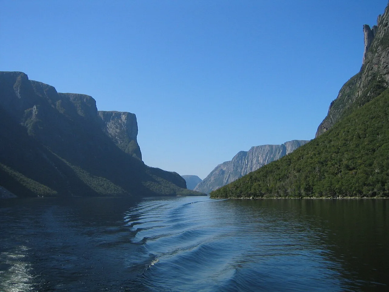
Gros Morne National Park (UNESCO World Heritage) · Atlantic Canada · Canada
Exposed ochre peridotite Earth-mantle mountains and a landlocked 600-meter-walled freshwater fjord carved by continental glaciers.
Photo: Jcmurphy at English Wikipedia · Public domain
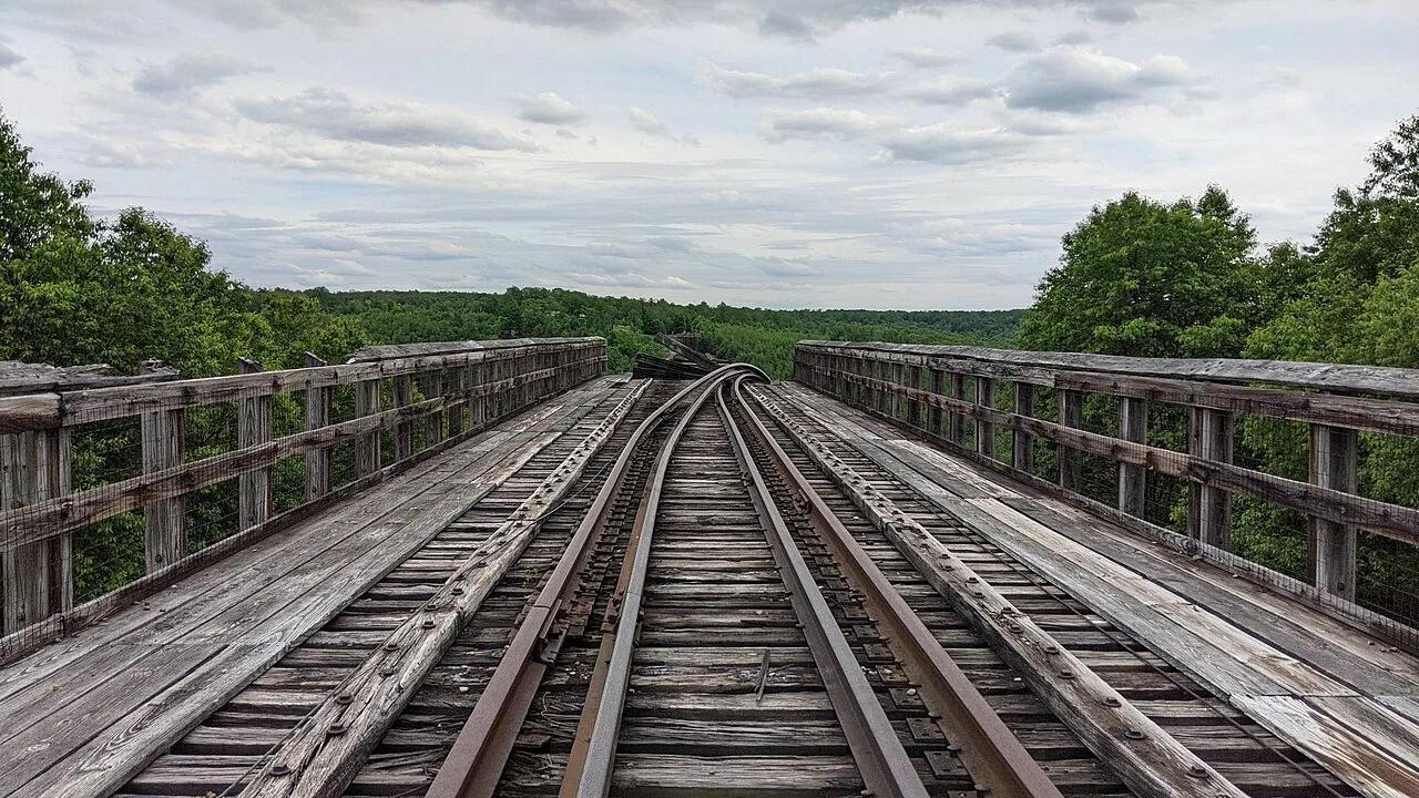
Kinzua Bridge State Park · PA Wilds / Allegheny Plateau · Pennsylvania
Walk 600 feet out onto a 225-foot-high historic railroad viaduct skywalk with a glass floor looking directly into the Kinzua Gorge.
Photo: MasterDoggo · CC BY-SA 4.0
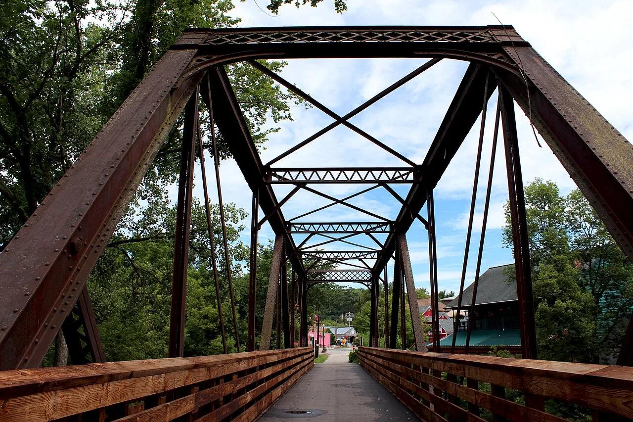
Driftless Area Karst Valley · Midwest & Great Lakes · Minnesota
42-mile paved rail-trail winding beneath 300-foot unglaciated limestone bluffs, Amish farms, and coldwater trout streams along the Root River.
Photo: Lanesboro Arts · CC BY-SA 4.0
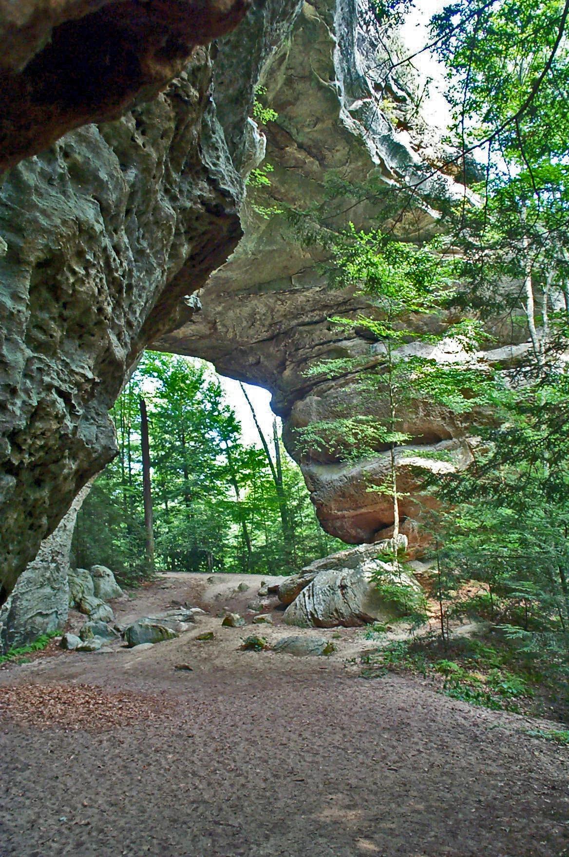
Big South Fork National River and Recreation Area · Appalachian & Blue Ridge · Tennessee
One of the largest natural sandstone bridge complexes in the Eastern United States, featuring 103-foot-high South Arch and 93-foot-wide North Arch.
Photo: NPS Staff · Public domain
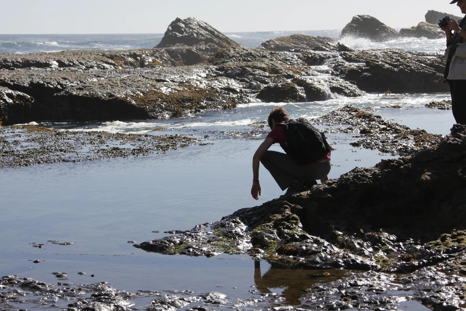
California Coastal National Monument / BLM · Redwood Empire & North Coast
Windswept sea bluffs, blowholes, and offshore sea arches protecting diverse marine wildlife along the rugged Mendocino coastline.
Photo: U.S. Department of the Interior · CC BY-SA 2.0
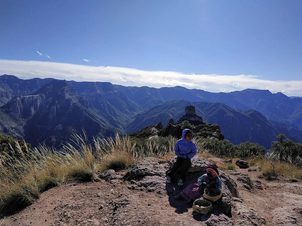
Parque de Aventura Barrancas del Cobre (Sierra Tarahumara) · Mexico & Central America · Mexico
System of six interlocking Sierra Madre Occidental canyons deeper and four times larger in area than the Grand Canyon.
Photo: Adrian · CC BY-SA 4.0
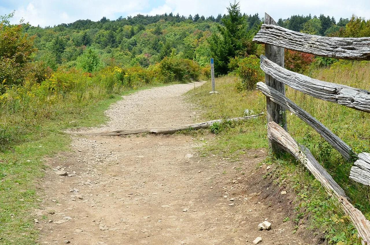
Grayson Highlands State Park / Jefferson NF · Appalachian & Blue Ridge · Virginia
High-elevation granite outcrops and wind-swept subalpine meadows where wild herds of ponies graze along the Appalachian Trail.
Photo: Virginia State Parks · CC BY 2.0