Beach
Haystack Rock Marine Garden · Pacific Northwest · Oregon
Cannon Beach & Haystack Rock
A monumental 235-foot basalt sea stack rising from broad sandy tidal flats, home to tufted puffins and thriving tide pools.
- Route
- 3 mi
- Climb
- 16 ft
Browse & Discover
Overlooks, natural arches, sea caves, groves and wildlife reserves.
919 of 2,051 places
Drag to pan. Double-click, pinch or scroll to zoom. Keyboard: arrow keys and +/−. Cards below remain available.
Loading map… Browse the spot cards below at any time.

Joshua Tree National Park
A granite arch in the White Tank monzogranite, reached by a short sandy trail from the Twin Tanks parking area.
John D. from Pasadena, USA · CC BY 2.0. Source & image licence

Joshua Tree National Park
A short desert trail to the historic Barker Dam water-storage structure in Joshua Tree National Park.
Hannah Schwalbe / NPS · Public domain. Source & image licence

Russian Ridge Open Space Preserve
The highest named summit in San Mateo County, an open grassland top on Russian Ridge with views from the ocean to the Bay.
Justin Dolske from Cupertino, USA · CC BY-SA 2.0. Source & image licence

Eaton Canyon Natural Area
The waterfall at the head of lower Eaton Canyon, reached by a wide wash walk from the Eaton Canyon Nature Center and a final creekside scramble.
[scott.medling or en:user:scott.medling user:scott.medling from California, United States] · CC BY-SA 2.0. Source & image licence

Escondido Canyon Park
A multi-tiered waterfall in Escondido Canyon above Malibu. The maintained trail ends at the base of the mossy lower tier.
Santa Monica Mountains National Recreation Area · Public domain. Source & image licence

Mount Tamalpais Watershed
A winter-and-spring cascade on Cataract Creek just below the Laurel Dell picnic area, reached downhill along the Cataract Trail from Rock Spring.
Richard Wood · CC BY-SA 3.0. Source & image licence

Joshua Tree National Park
One of the best-preserved stamp mills in Joshua Tree National Park, at the site of the Lost Horse gold mine.
Joseph from Cabin On The Road, USA · CC BY-SA 2.0. Source & image licence

Angeles National Forest
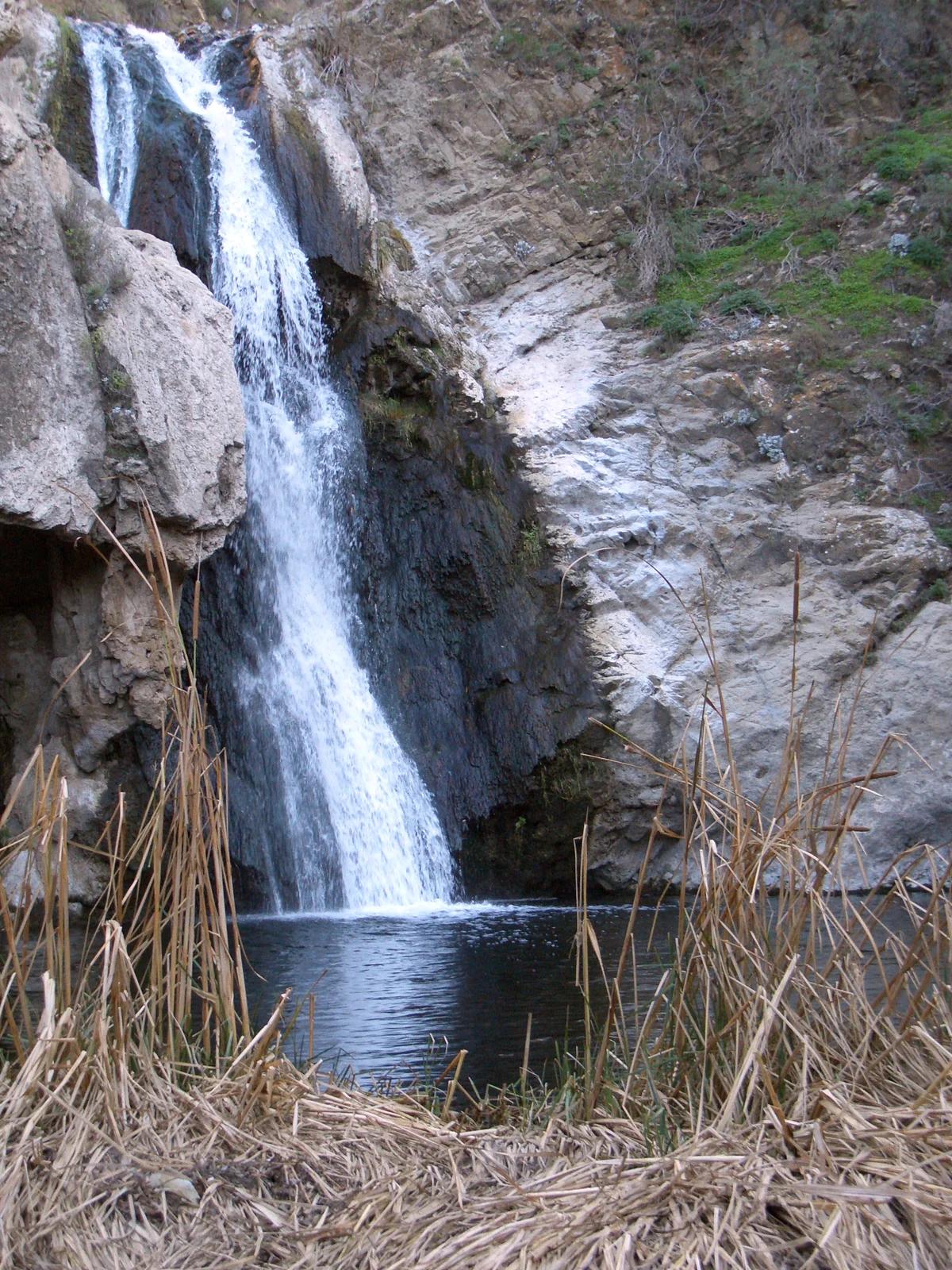
A waterfall of about fifty feet filling the head of a narrow, shaded canyon, a short walk upstream from Millard Campground.
Region 5 Photography · Public domain. Source & image licence

Mount Tamalpais State Park
The summit of Mount Tamalpais, a short plank-and-rock climb from the East Peak visitor area to the fire lookout above the whole Bay Area.
Chris Koerner from St. Louis, USA · CC BY-SA 2.0. Source & image licence

Inyo National Forest
A quiet lake in the Ansel Adams Wilderness beneath Parker Peak, reached through sage and an aspen-lined creek canyon off the June Lake Loop.
Mark Gunn from Novato, California, USA · CC BY 2.0. Source & image licence

Pfeiffer Big Sur State Park
A 60-foot waterfall on Pfeiffer-Redwood Creek, reached through the redwoods of Pfeiffer Big Sur State Park on a trail twice rebuilt — after the 2008 Basin Complex Fire and again after 2023 storm damage.
Joe Mabel · CC BY-SA 4.0. Source & image licence

Santa Monica Mountains National Recreation Area
The highest point in the Santa Monica Mountains, climbed from the Mishe Mokwa trailhead along the Backbone Trail at Circle X Ranch.
Wasquewhat · CC BY-SA 4.0. Source & image licence

Angeles National Forest
A 50-foot single drop into a shallow plunge pool, 1.7 mi up Big Santa Anita Canyon. Shaded the entire way in. The work is all on the walk out.
U.S. Department of Agriculture / USDA USFS · CC BY 2.0. Source & image licence

Santa Monica Mountains National Recreation Area
The ruins of the Roberts family ranch house at the end of the canyon-floor trail in Solstice Canyon, beside a small seasonal waterfall.
George Heras / Santa Monica Mountains National Recreation Area · Public domain. Source & image licence

Pfeiffer Big Sur State Park
An overlook above the Big Sur River valley, looking north over the redwoods toward Point Sur and the Pacific.
King of Hearts · CC BY-SA 3.0. Source & image licence
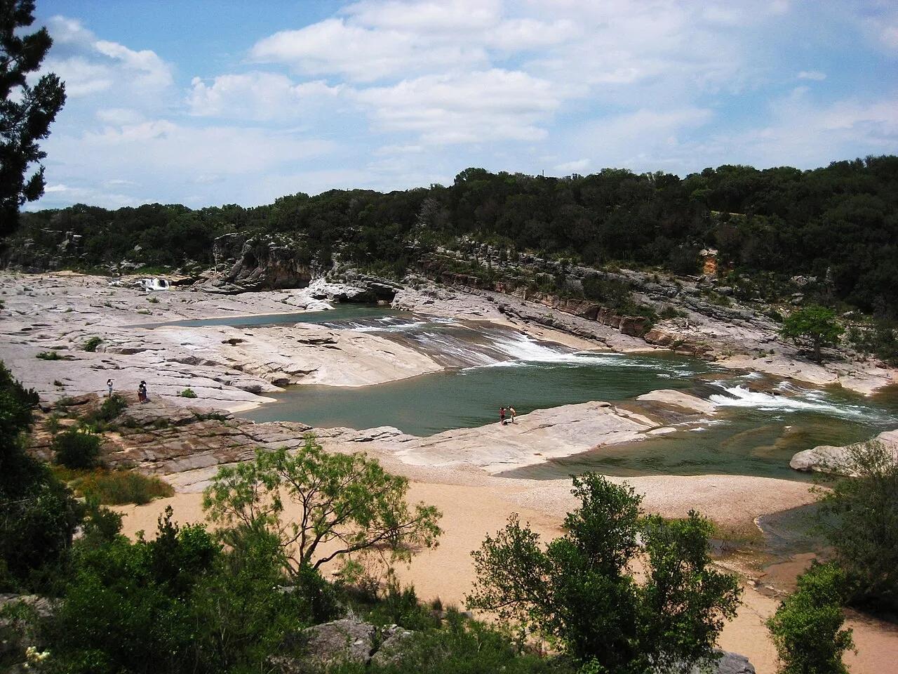
Pedernales Falls State Park (Texas Hill Country) · American Southwest · Texas
300-million-year-old tilted slabs of Marble Falls limestone channeling the Pedernales River through stair-stepped chutes and potholes.
Photo: Liveon001 ©Travis Witt · CC BY-SA 3.0
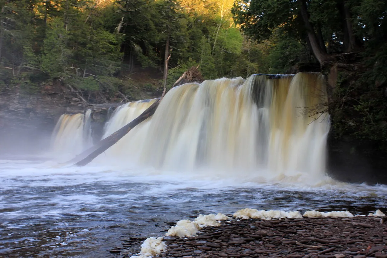
Porcupine Mountains Wilderness State Park · Upper Peninsula · Michigan
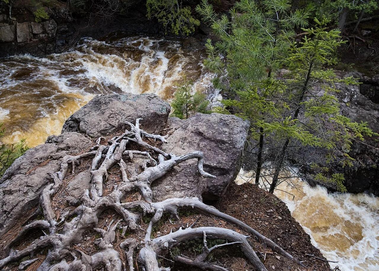
Roaring trio of amber-colored cataracts—Manabezho, Manido, and Nawadaha Falls—racing through a deep hemlock gorge into Lake Superior.
Photo: Yinan Chen · Public domain

Devil's Gulch Park (Garretson) · Eastern South Dakota · South Dakota
Dramatic 60-foot deep red Sioux quartzite canyon where outlaw Jesse James famously jumped his horse 18 feet across the chasm to escape a posse in 1876.
Photo: ToxicFlame427 · CC BY-SA 4.0
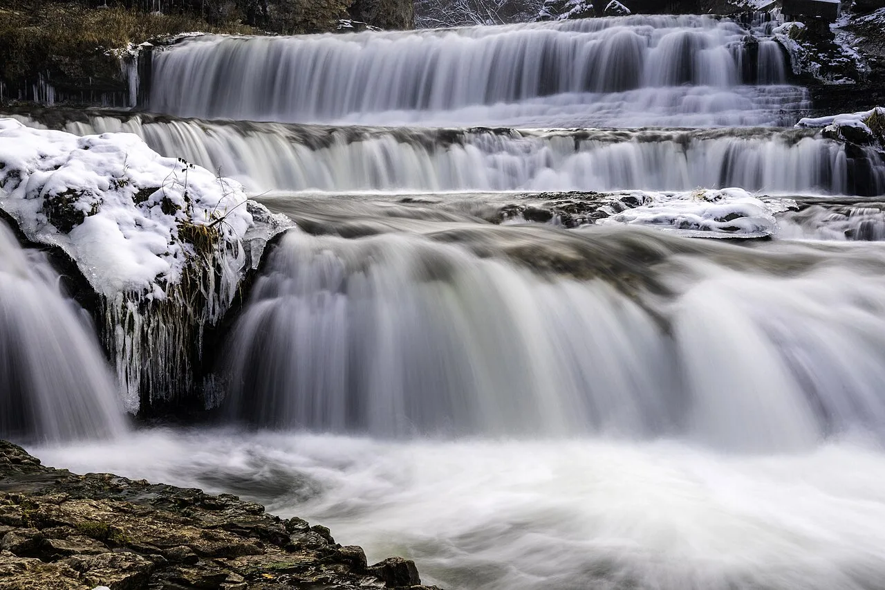
Willow River State Park · St. Croix River Valley · Wisconsin
Tiered 45-foot cascade thundering over layered limestone shelves within a 200-foot deep river gorge just across the St. Croix border from the Twin Cities.
Photo: Lorie Shaull · CC BY-SA 2.0
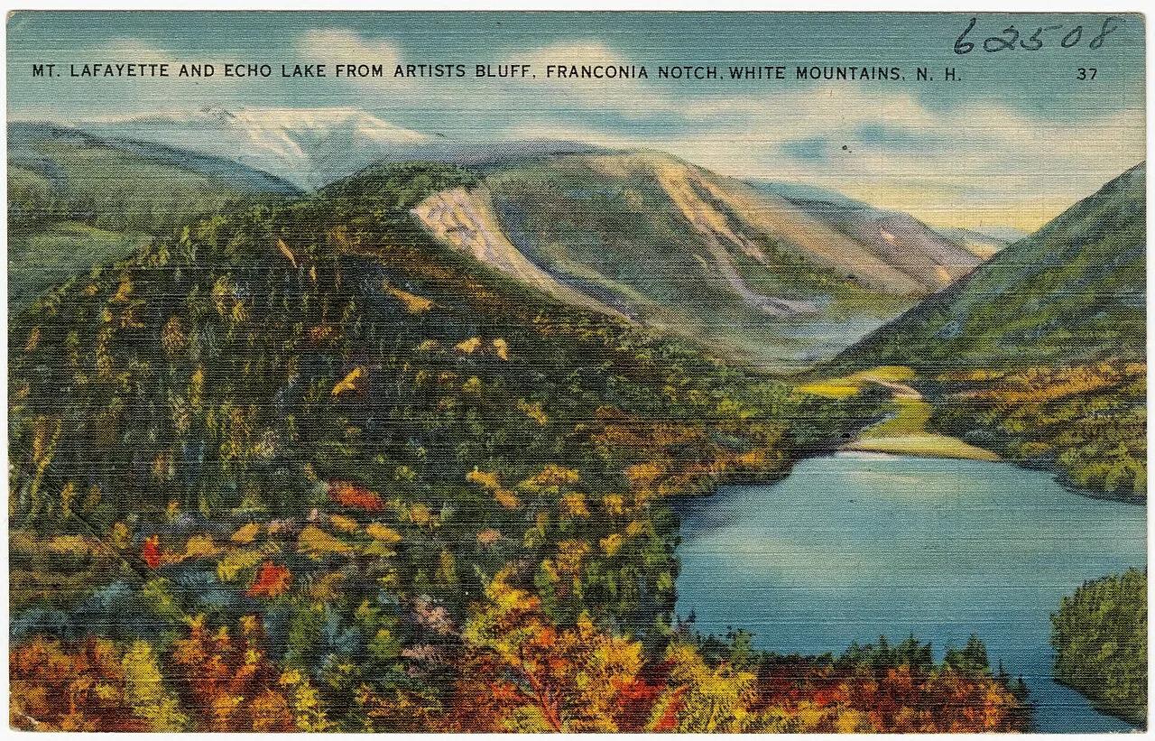
Franconia Notch State Park · White Mountains · New Hampshire
Perched granite cliffs frame a postcard-perfect view overlooking Echo Lake and the rugged vertical walls of Franconia Notch.
Photo: Tichnor Brothers, Publisher · Public domain
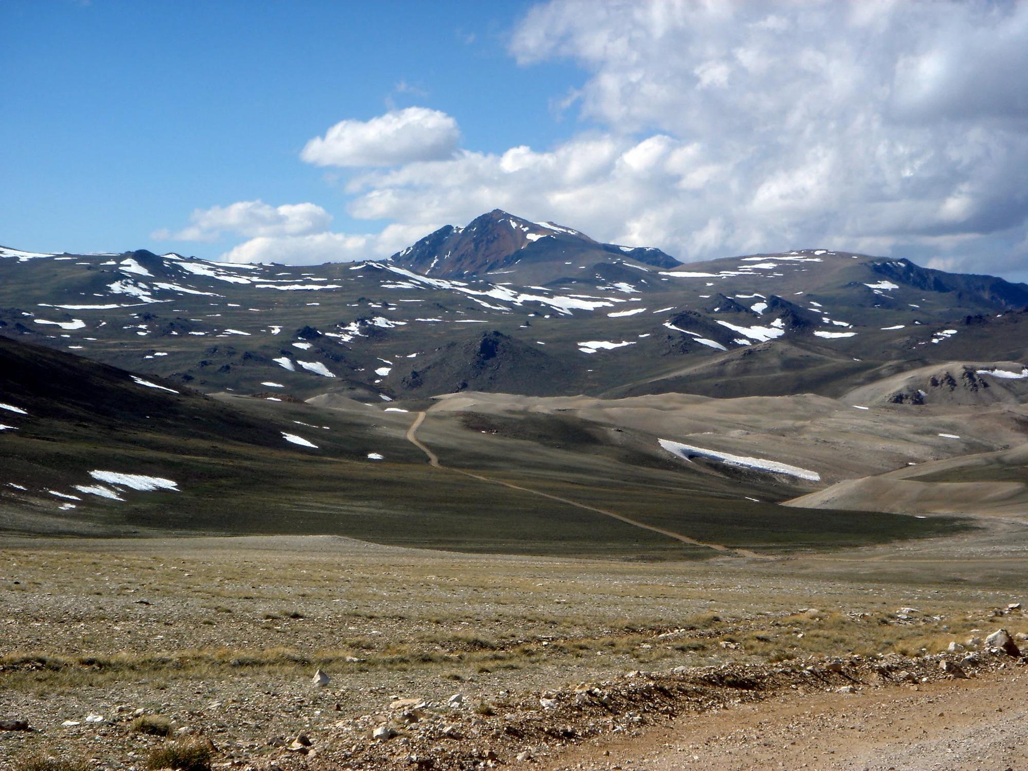
Eastern Sierra
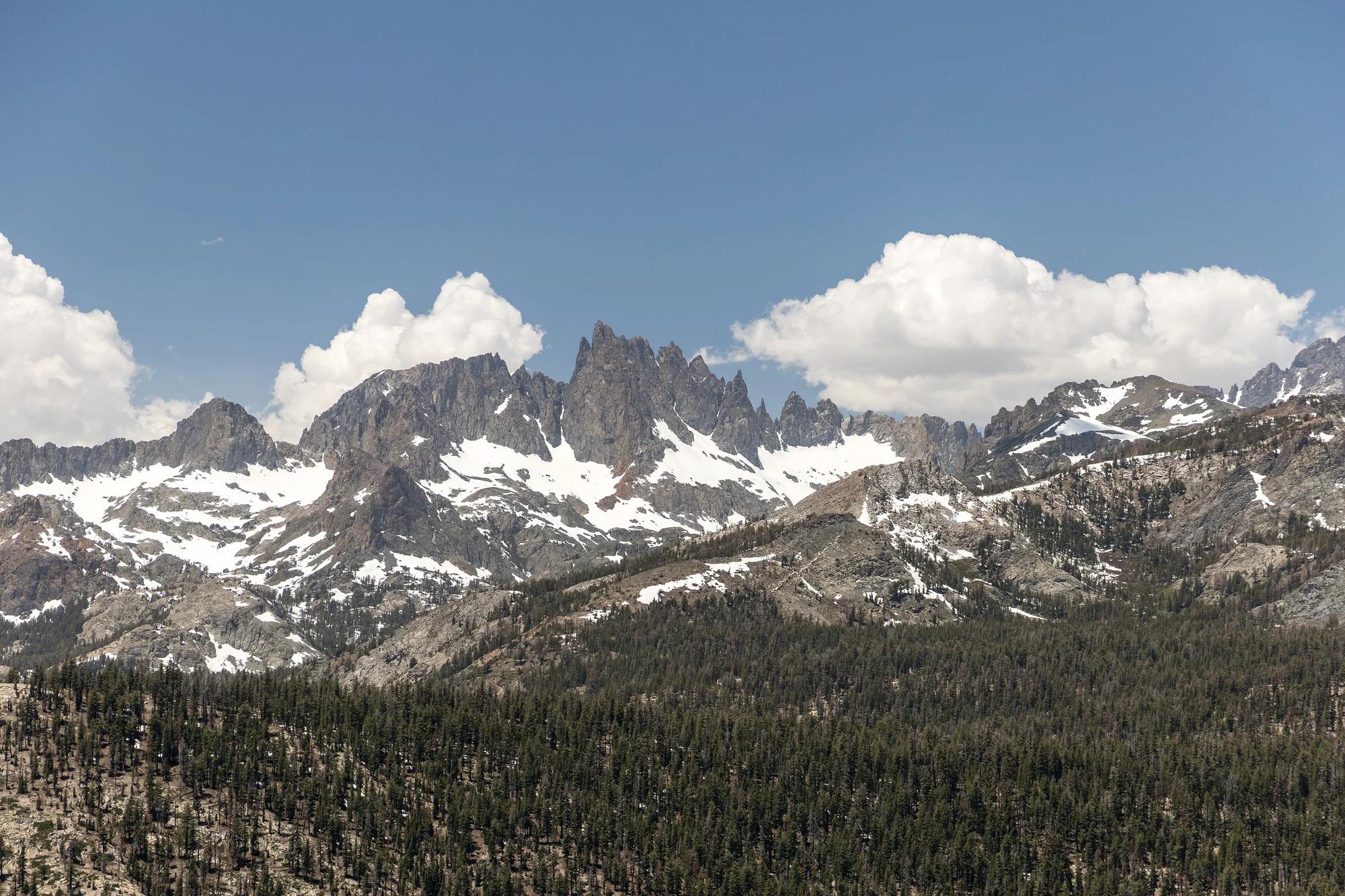
Verified California peak at 14,252 ft in Eastern Sierra.
Photo: JonathanLamb ( talk · contribs ) · CC BY 3.0
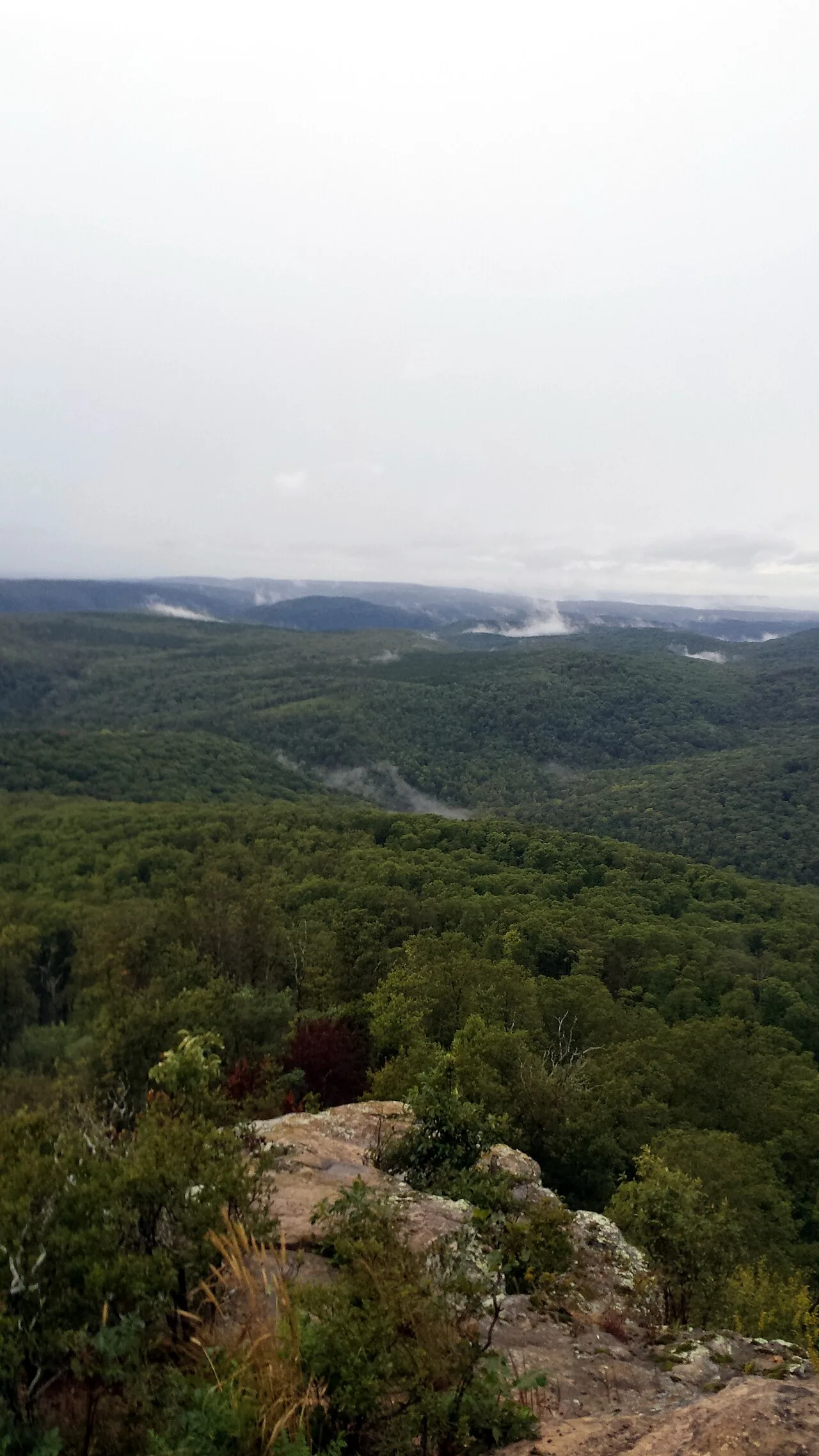
Ozark-St. Francis National Forest · South & Gulf Coast · Arkansas
2,300-foot flat-topped sandstone mesa ringed by sheer 200-foot bluffs and historic 1930s CCC stone cabins at the western terminus of the Ozark Highlands Trail.
Photo: Brandonrush · CC BY-SA 3.0
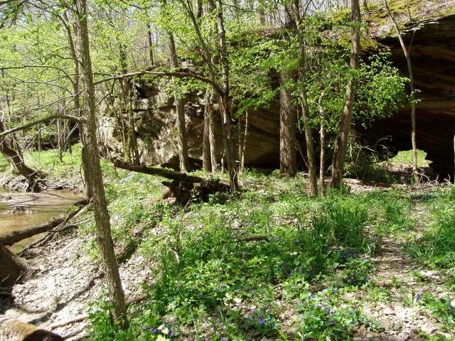
Portland Arch Nature Preserve · Wabash River Valley · Indiana
Rare natural sandstone arch carved through Mansfield sandstone by a meandering tributary of Bear Creek, surrounded by moss-draped canyon walls.
Photo: Chris Light (talk) · CC BY-SA 3.0
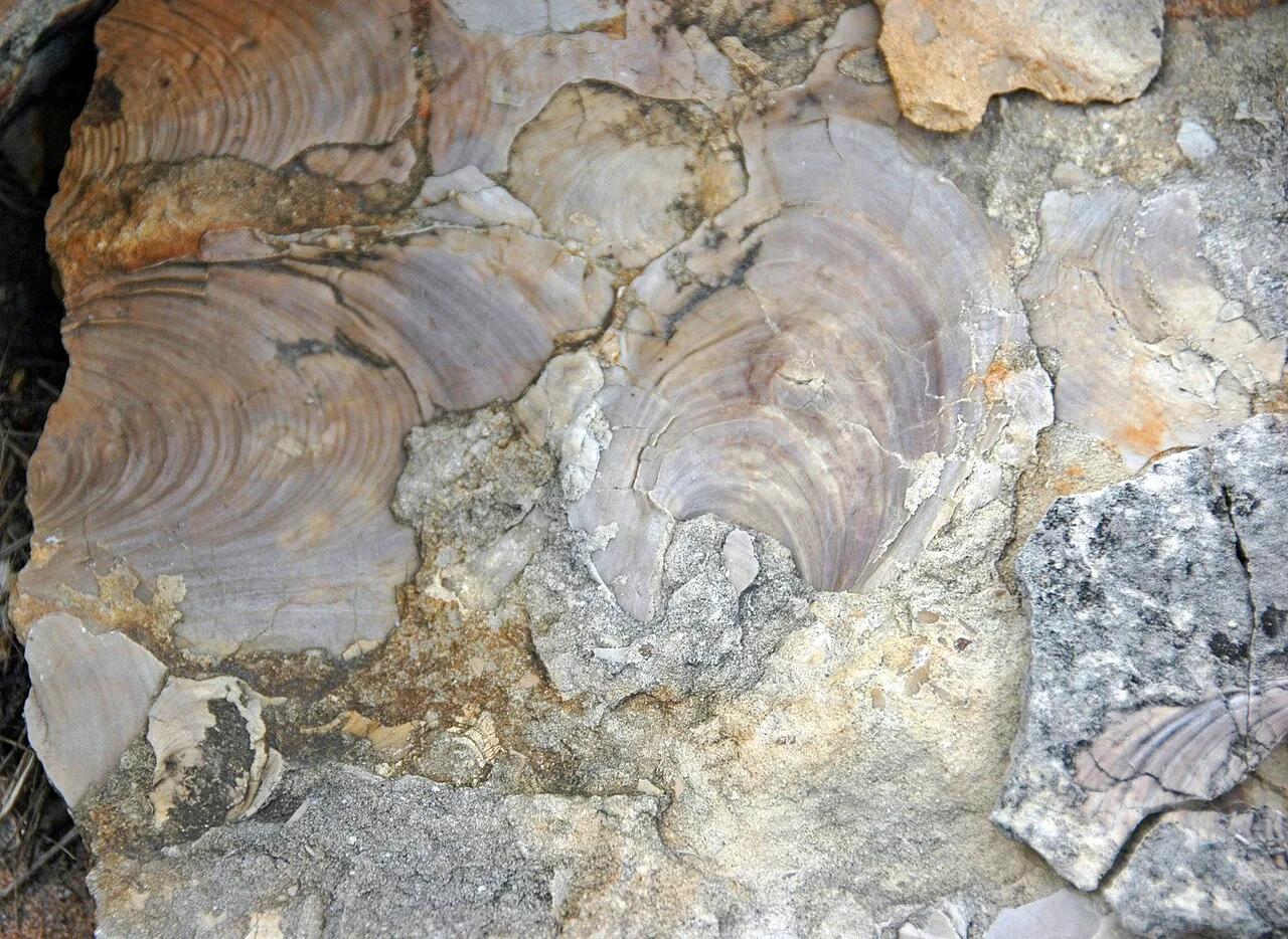
Ponca State Park · Northeast Nebraska · Nebraska
Heavily forested bluffs overlooking the unchannelized Missouri National Recreational River, where three ancient oak trees have stood for over 300 years.
Photo: James St. John · CC BY 2.0
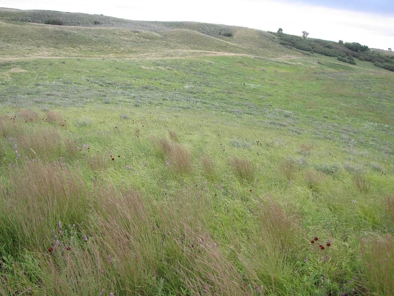
White Horse Hill National Game Preserve (Fort Totten) · Devils Lake Basin · North Dakota
Historic glacial terminal moraine hill rising above Devils Lake, sheltering wild bison and elk herds with an observation tower looking across Spirit Lake.
Photo: U.S. Fish and Wildlife Service Headquarters · Public domain
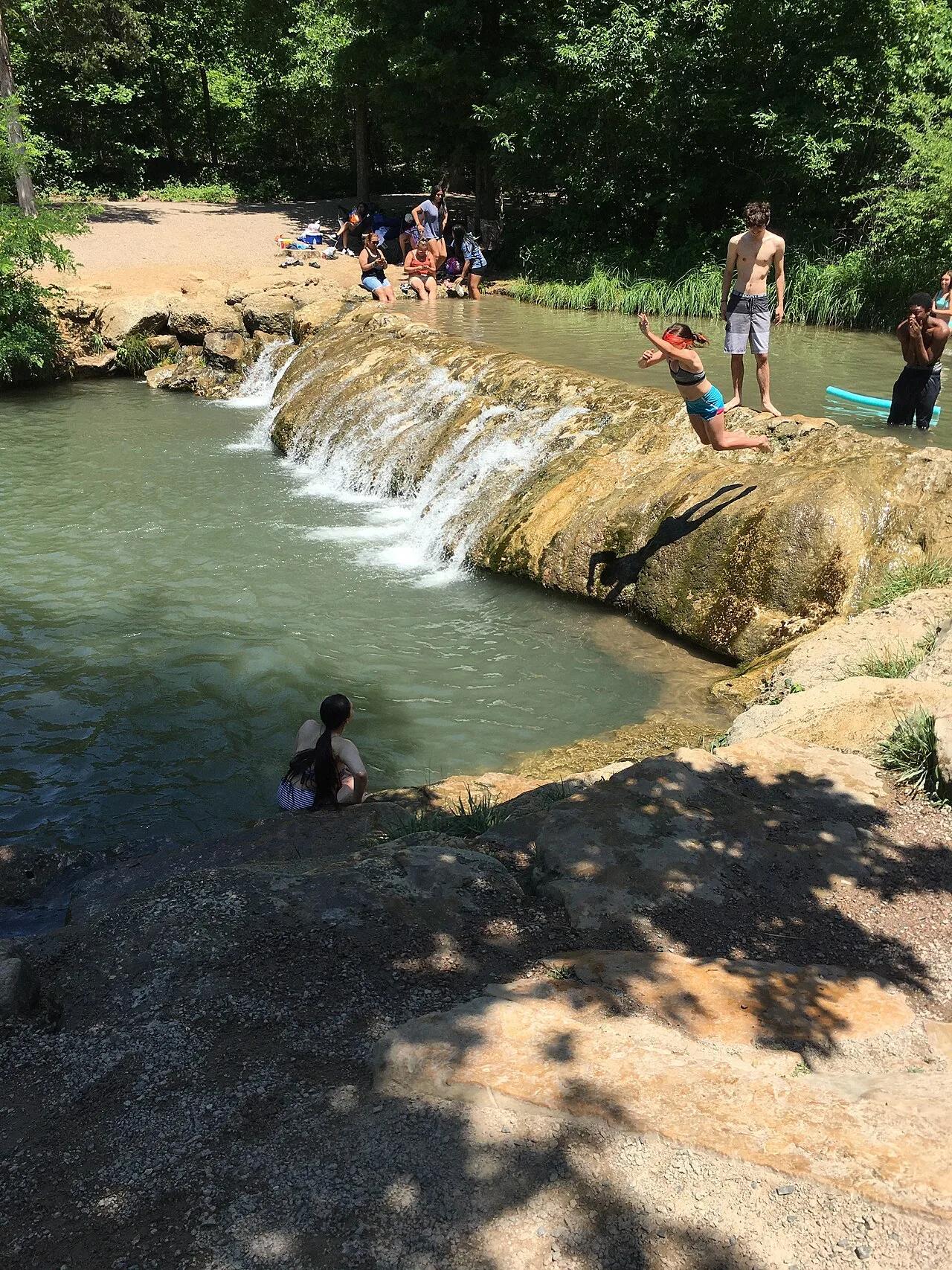
Chickasaw National Recreation Area (Sulphur) · Arbuckle Mountains · Oklahoma
Idyllic turquoise swimming hole fed by cold, mineral-rich artesian springs bubbling over travertine limestone waterfalls in Platt Historic District.
Photo: Jonathan Schilling · CC BY-SA 4.0