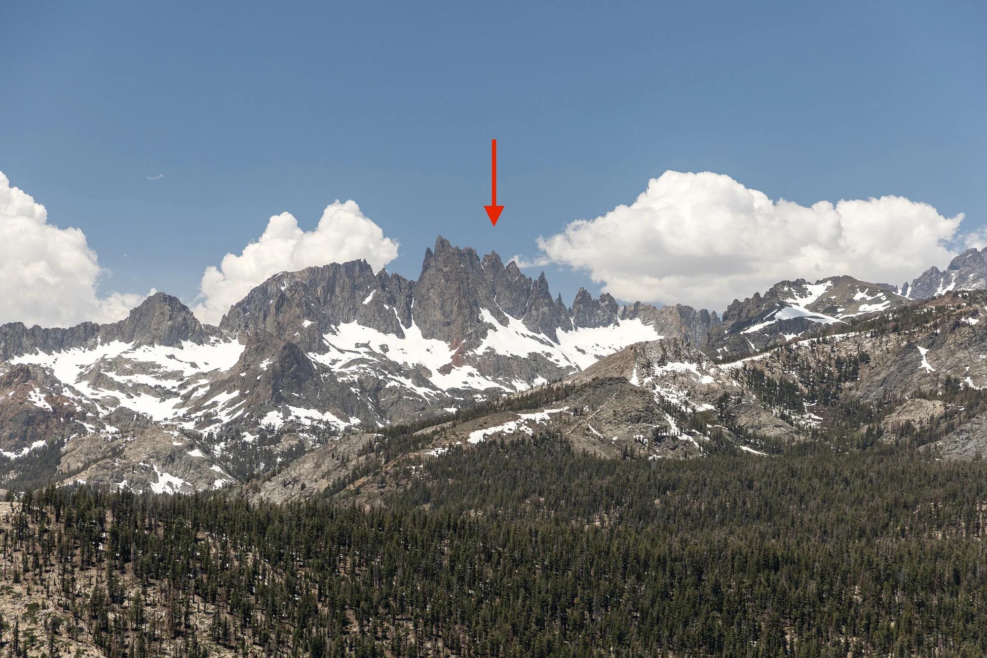
Peak
Inyo National Forest · Yosemite & Central Sierra
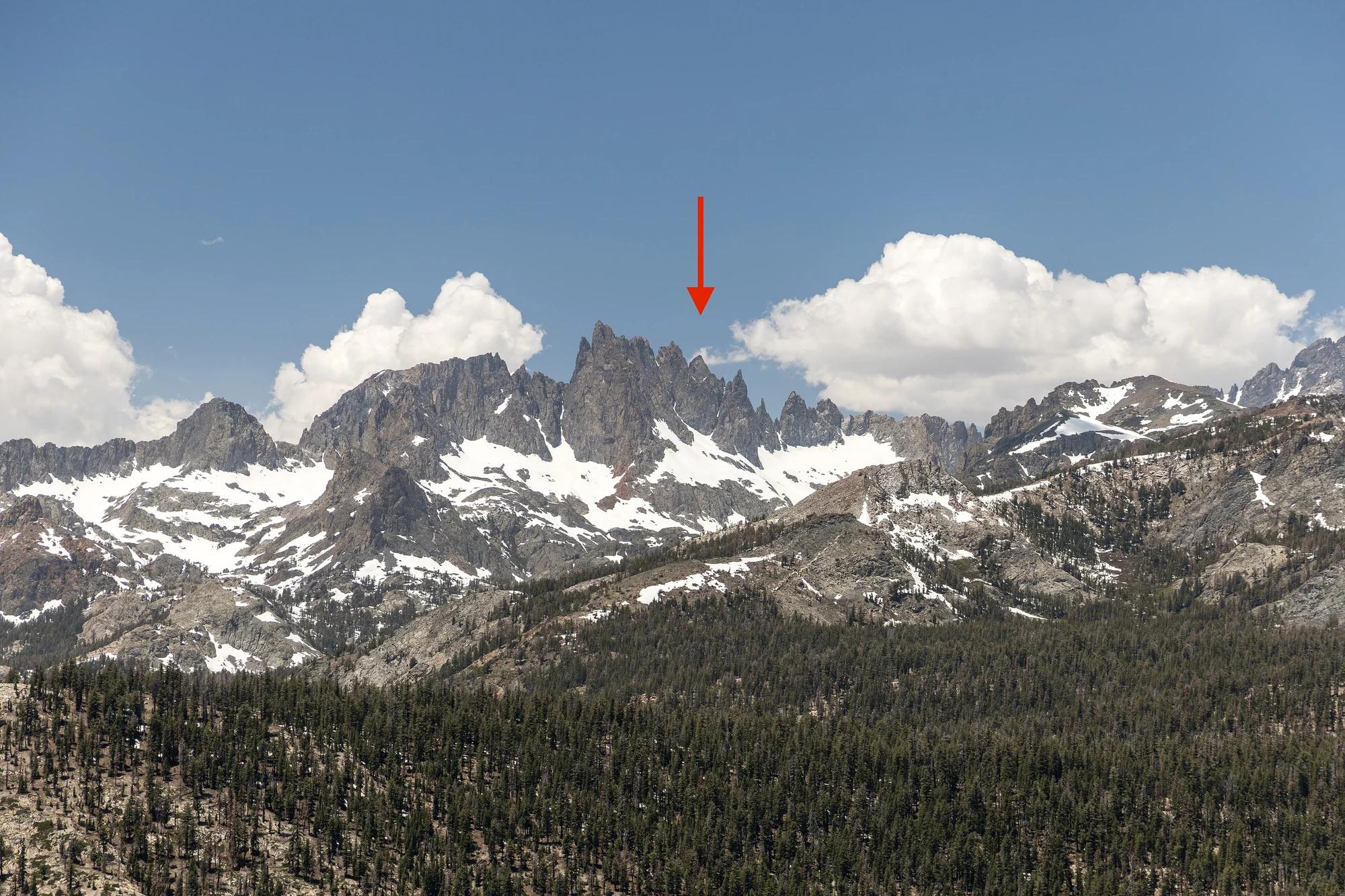
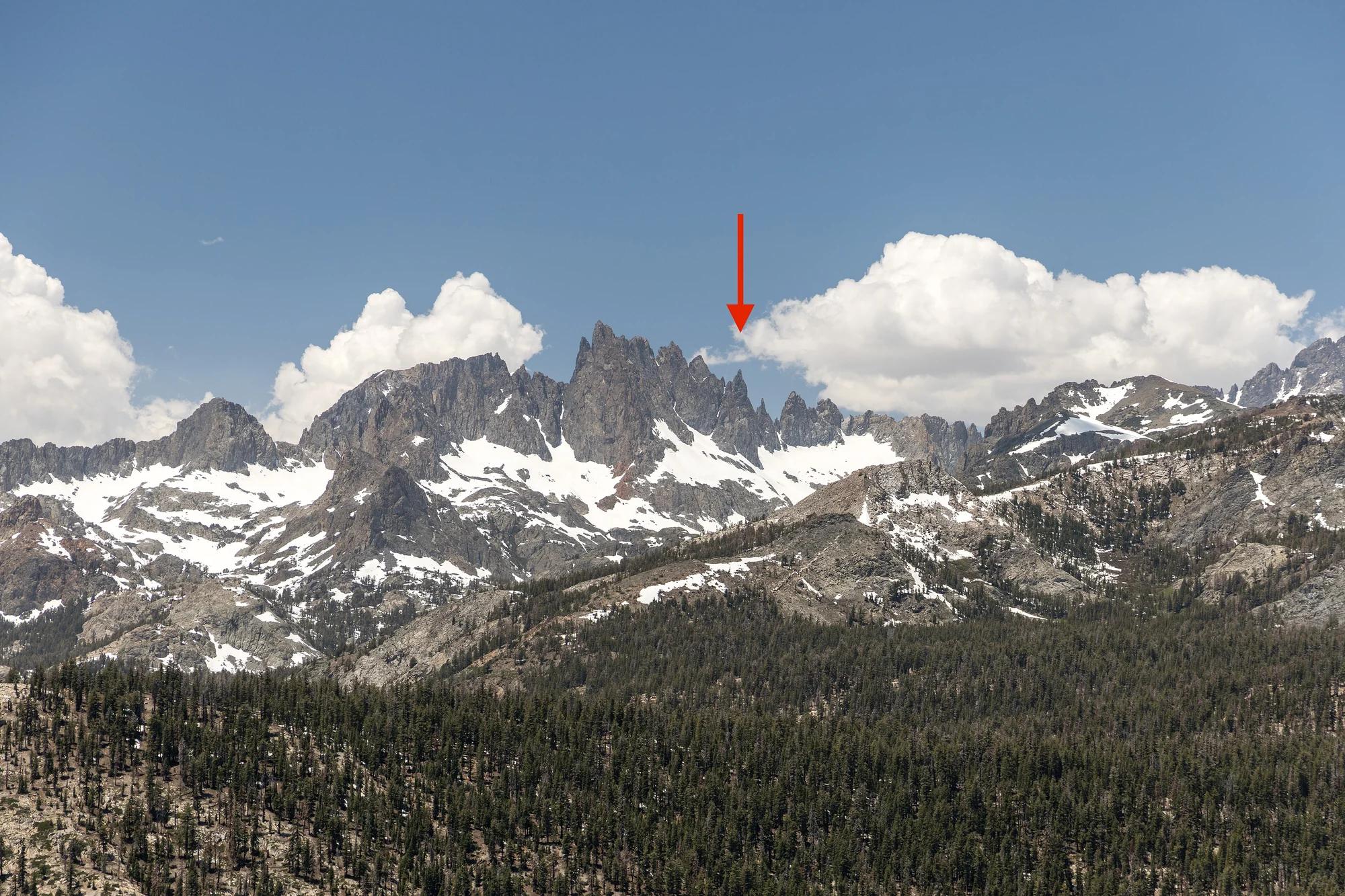
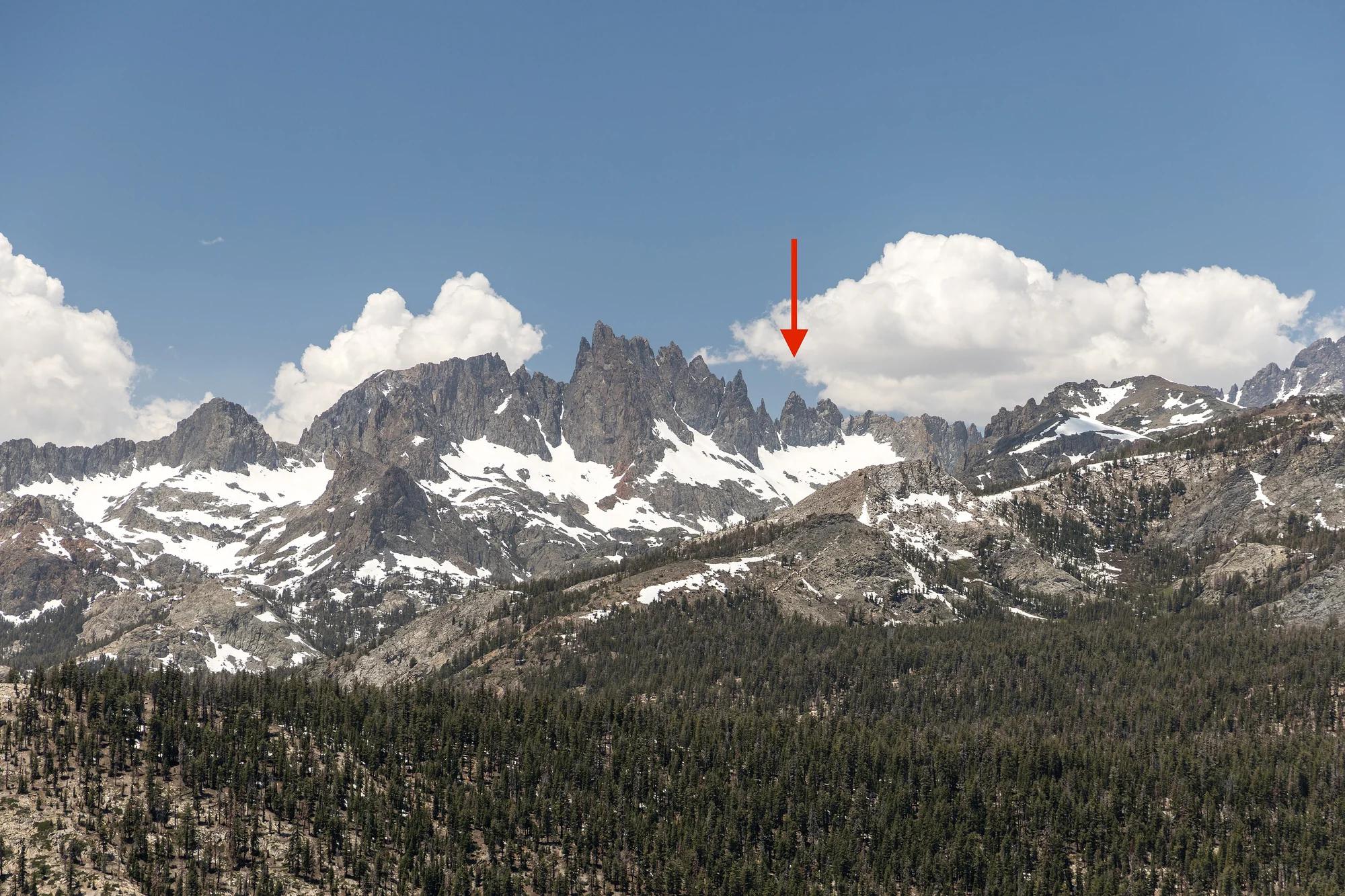
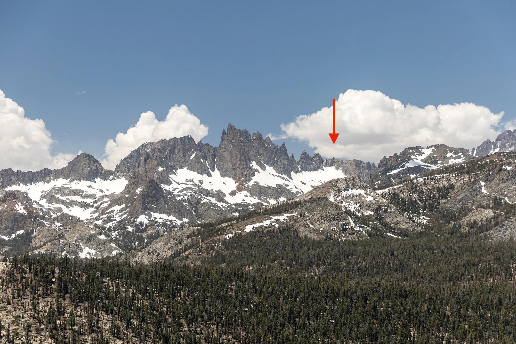
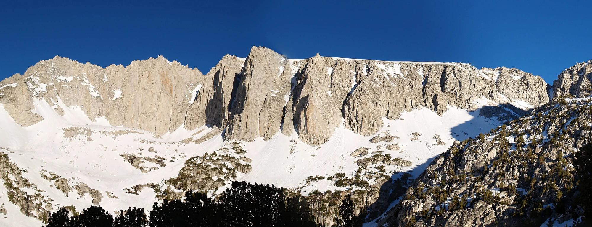
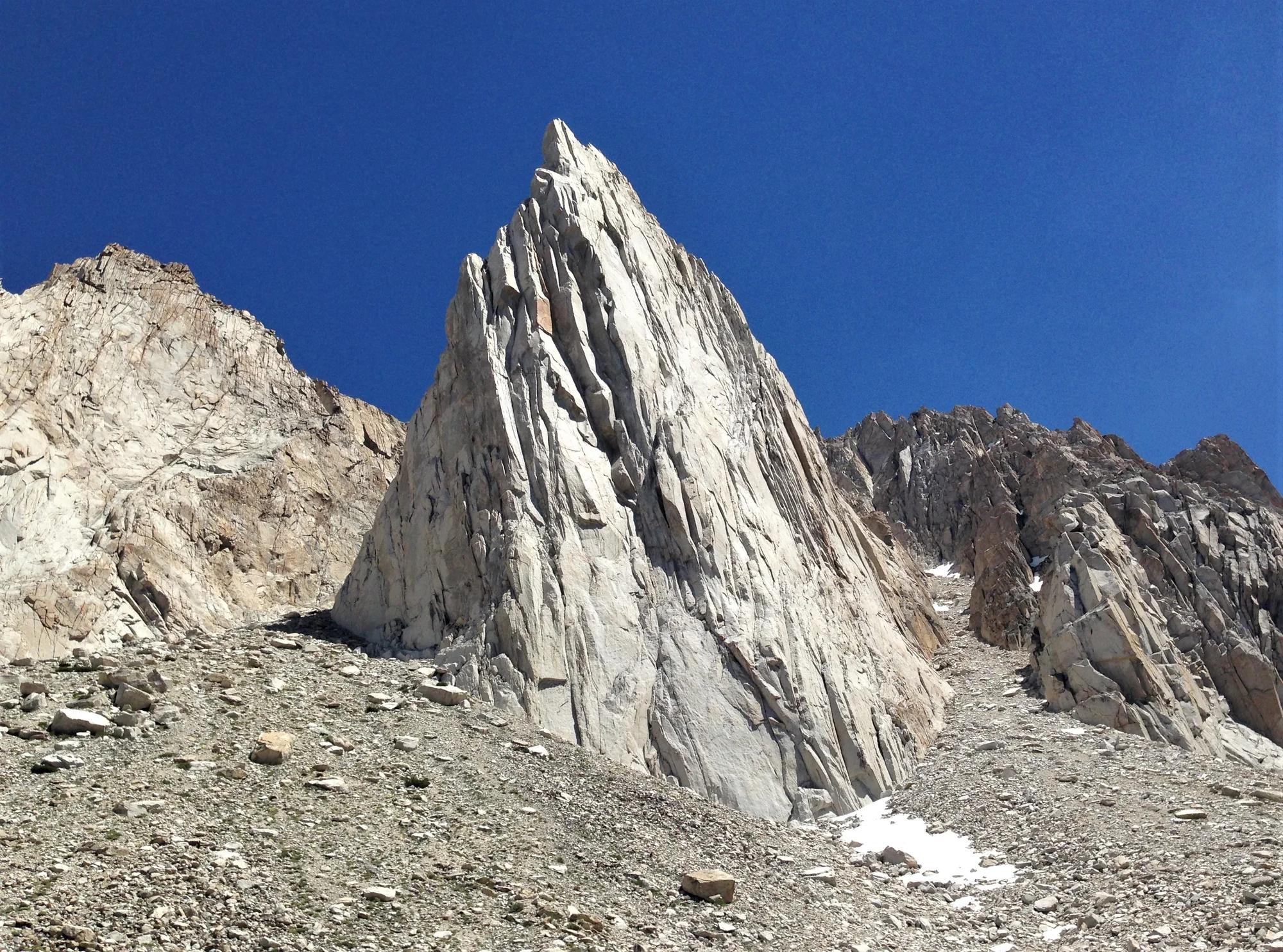
Rice Minaret
Verified California peak at 12,238 ft in Inyo National Forest (Yosemite & Central Sierra).
- Route
- 2.9 mi
- Climb
- 361 ft
Browse & Discover
Overlooks, natural arches, sea caves, groves and wildlife reserves.
919 of 2,051 places
Drag to pan. Double-click, pinch or scroll to zoom. Keyboard: arrow keys and +/−. Cards below remain available.
Loading map… Browse the spot cards below at any time.

Joshua Tree National Park
A granite arch in the White Tank monzogranite, reached by a short sandy trail from the Twin Tanks parking area.
John D. from Pasadena, USA · CC BY 2.0. Source & image licence

Joshua Tree National Park
A short desert trail to the historic Barker Dam water-storage structure in Joshua Tree National Park.
Hannah Schwalbe / NPS · Public domain. Source & image licence

Russian Ridge Open Space Preserve
The highest named summit in San Mateo County, an open grassland top on Russian Ridge with views from the ocean to the Bay.
Justin Dolske from Cupertino, USA · CC BY-SA 2.0. Source & image licence

Eaton Canyon Natural Area
The waterfall at the head of lower Eaton Canyon, reached by a wide wash walk from the Eaton Canyon Nature Center and a final creekside scramble.
[scott.medling or en:user:scott.medling user:scott.medling from California, United States] · CC BY-SA 2.0. Source & image licence

Escondido Canyon Park
A multi-tiered waterfall in Escondido Canyon above Malibu. The maintained trail ends at the base of the mossy lower tier.
Santa Monica Mountains National Recreation Area · Public domain. Source & image licence

Mount Tamalpais Watershed
A winter-and-spring cascade on Cataract Creek just below the Laurel Dell picnic area, reached downhill along the Cataract Trail from Rock Spring.
Richard Wood · CC BY-SA 3.0. Source & image licence

Joshua Tree National Park
One of the best-preserved stamp mills in Joshua Tree National Park, at the site of the Lost Horse gold mine.
Joseph from Cabin On The Road, USA · CC BY-SA 2.0. Source & image licence

Angeles National Forest
A waterfall of about fifty feet filling the head of a narrow, shaded canyon, a short walk upstream from Millard Campground.
Region 5 Photography · Public domain. Source & image licence

Mount Tamalpais State Park
The summit of Mount Tamalpais, a short plank-and-rock climb from the East Peak visitor area to the fire lookout above the whole Bay Area.
Chris Koerner from St. Louis, USA · CC BY-SA 2.0. Source & image licence

Inyo National Forest
A quiet lake in the Ansel Adams Wilderness beneath Parker Peak, reached through sage and an aspen-lined creek canyon off the June Lake Loop.
Mark Gunn from Novato, California, USA · CC BY 2.0. Source & image licence

Pfeiffer Big Sur State Park
A 60-foot waterfall on Pfeiffer-Redwood Creek, reached through the redwoods of Pfeiffer Big Sur State Park on a trail twice rebuilt — after the 2008 Basin Complex Fire and again after 2023 storm damage.
Joe Mabel · CC BY-SA 4.0. Source & image licence

Santa Monica Mountains National Recreation Area
The highest point in the Santa Monica Mountains, climbed from the Mishe Mokwa trailhead along the Backbone Trail at Circle X Ranch.
Wasquewhat · CC BY-SA 4.0. Source & image licence

Angeles National Forest
A 50-foot single drop into a shallow plunge pool, 1.7 mi up Big Santa Anita Canyon. Shaded the entire way in. The work is all on the walk out.
U.S. Department of Agriculture / USDA USFS · CC BY 2.0. Source & image licence

Santa Monica Mountains National Recreation Area
The ruins of the Roberts family ranch house at the end of the canyon-floor trail in Solstice Canyon, beside a small seasonal waterfall.
George Heras / Santa Monica Mountains National Recreation Area · Public domain. Source & image licence

Pfeiffer Big Sur State Park
An overlook above the Big Sur River valley, looking north over the redwoods toward Point Sur and the Pacific.
King of Hearts · CC BY-SA 3.0. Source & image licence
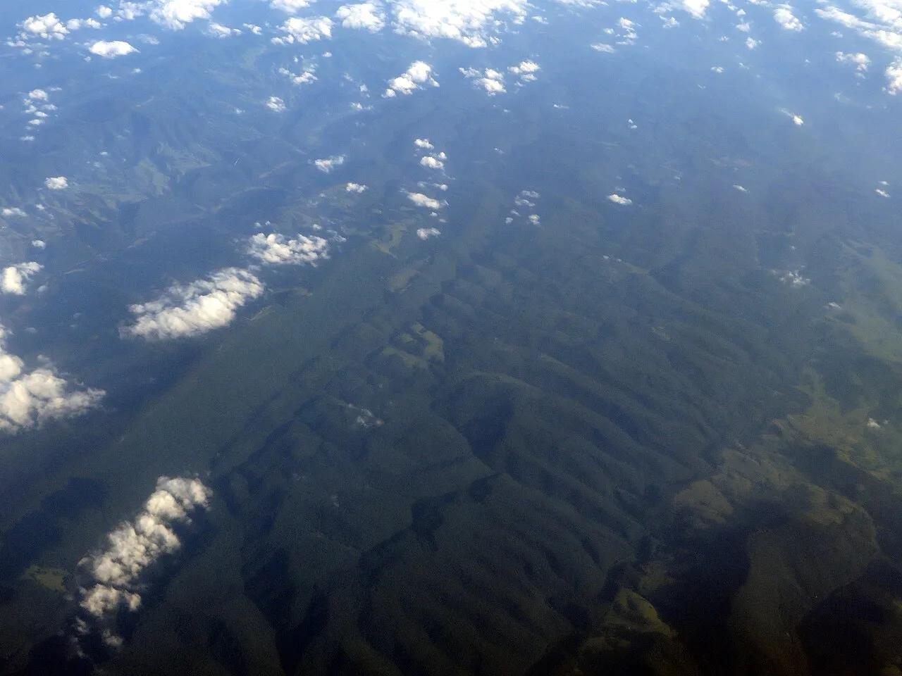
Spruce Knob-Seneca Rocks National Recreation Area · Appalachian & Blue Ridge · West Virginia
Highest point in West Virginia (4,863 ft), crowned by a stone observation tower, quartzite boulder fields, and wind-sculpted red spruce groves.
Photo: Ken Lund from Reno, Nevada, USA · CC BY-SA 2.0
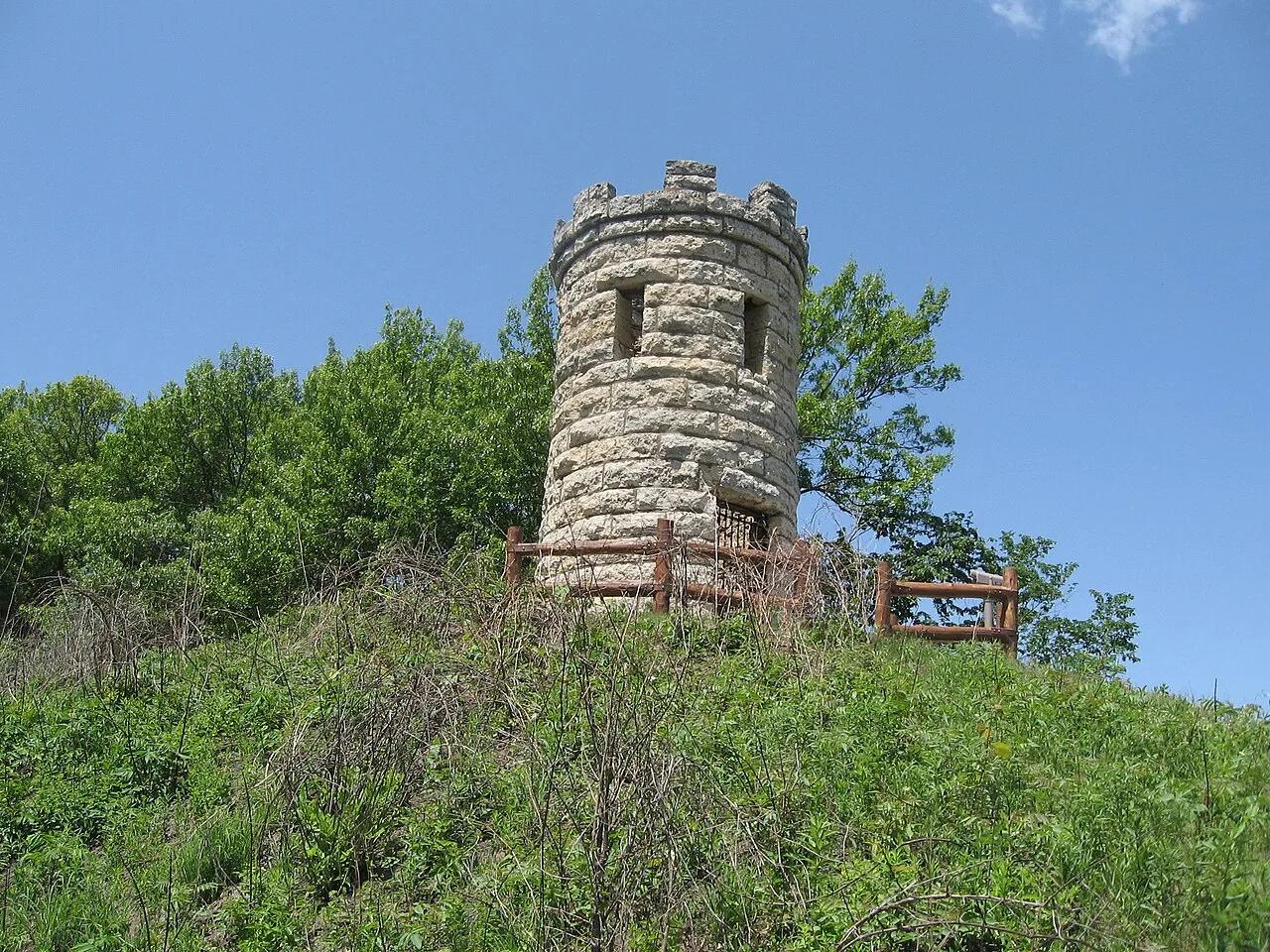
Mines of Spain State Recreation Area · Dubuque & Mississippi River · Iowa
Dramatic 200-foot Silurian dolomite quarry bluffs along the Mississippi River, featuring lead-mining history and the historic Julien Dubuque stone monument.
Photo: Bill Whittaker · CC BY-SA 3.0
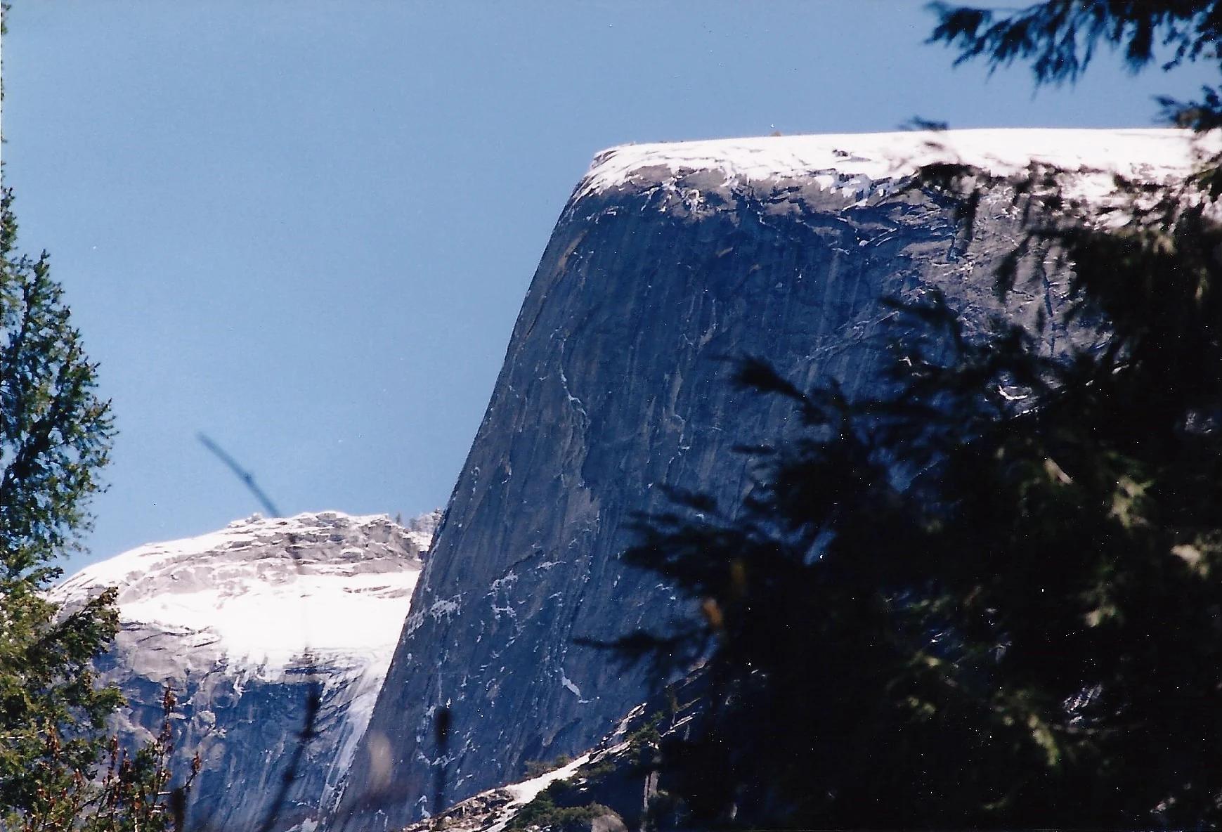
Yosemite National Park · Yosemite & Central Sierra
Verified California peak at 8,169 ft in Yosemite National Park (Yosemite & Central Sierra).
Photo: Glenn Scofield Williams from Portland, Oregon, USA · CC BY 2.0
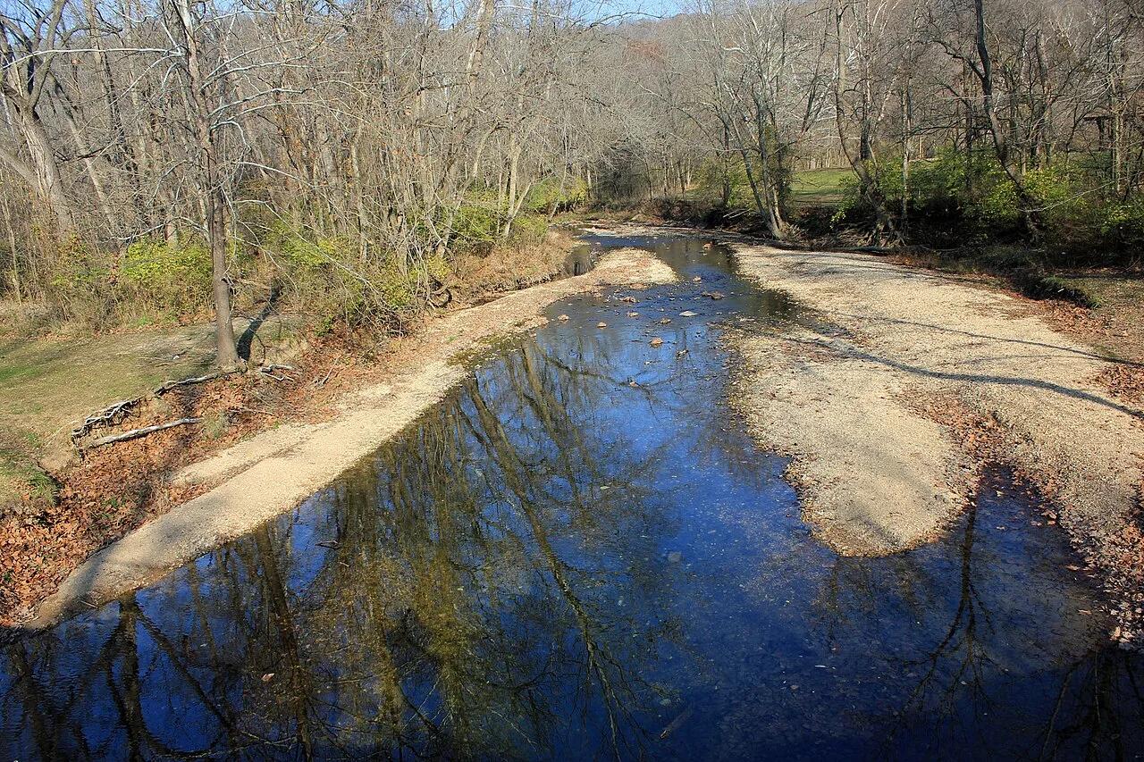
Castlewood State Park · St. Louis Metro · Missouri
Steep staircase climb to panoramic 250-foot limestone bluffs towering over the serpentine sweep of the Meramec River, popular with hikers and trail runners.
Photo: Yinan Chen · Public domain
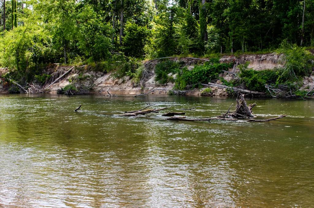
Bogue Chitto State Park (Franklinton) · South & Gulf Coast · Louisiana
Eroded sandstone spires resembling miniature badlands tucked inside a bamboo and hardwood ravine beside the Bogue Chitto River.
Photo: mcandrus · CC BY 2.0
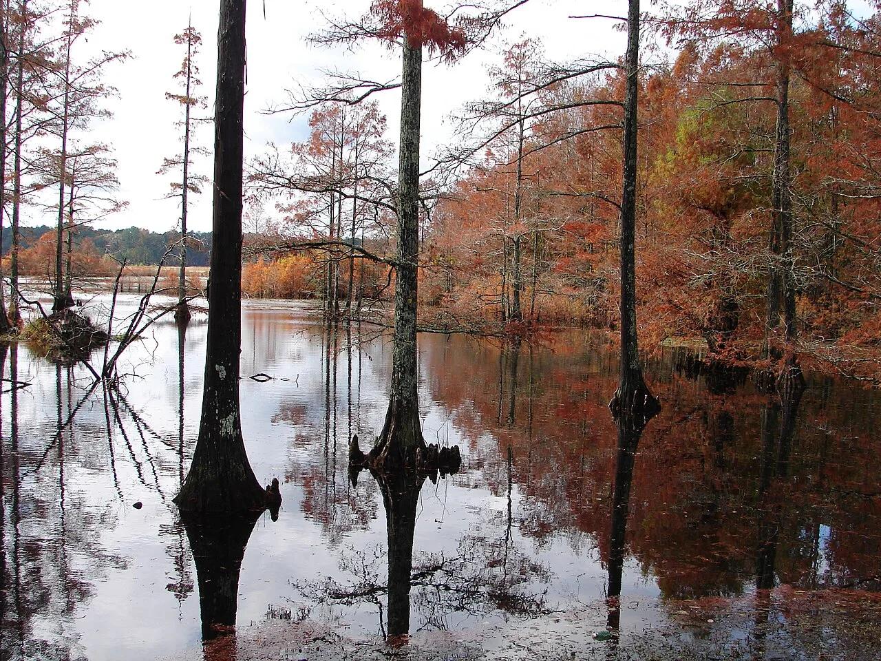
Sam D. Hamilton Noxubee National Wildlife Refuge · South & Gulf Coast · Mississippi
1,200-acre cypress-ringed wildlife refuge lake with overwater boardwalks, osprey platforms, and bottomland hardwood trails.
Photo: U.S. Fish and Wildlife Service Southeast Region · Public domain
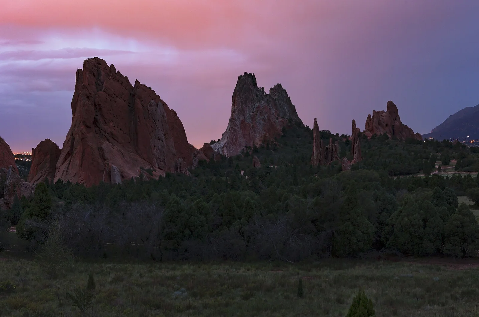
Garden of the Gods · Colorado & Rocky Mountains · Colorado
Towering 300-foot vertical sandstone rock spires framing Pikes Peak along a paved accessible garden pathway.
Photo: Janusz Sobolewski from Mississauga, Ontario, Canada · CC BY 2.0
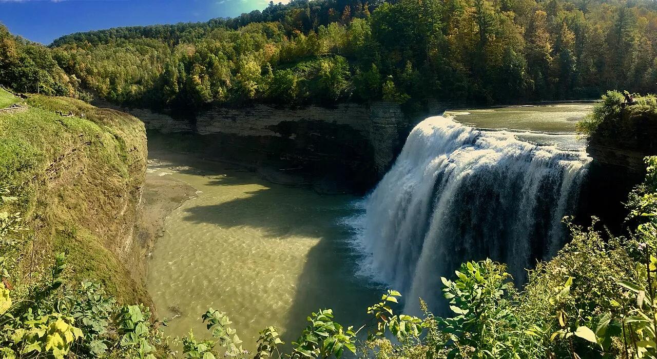
Letchworth State Park · Finger Lakes · New York
Known as the Grand Canyon of the East, the 550-foot gorge carved by the Genesee River roars past the 107-foot Middle Falls and Inspiration Point.
Photo: Andre Carrotflower · CC BY-SA 4.0
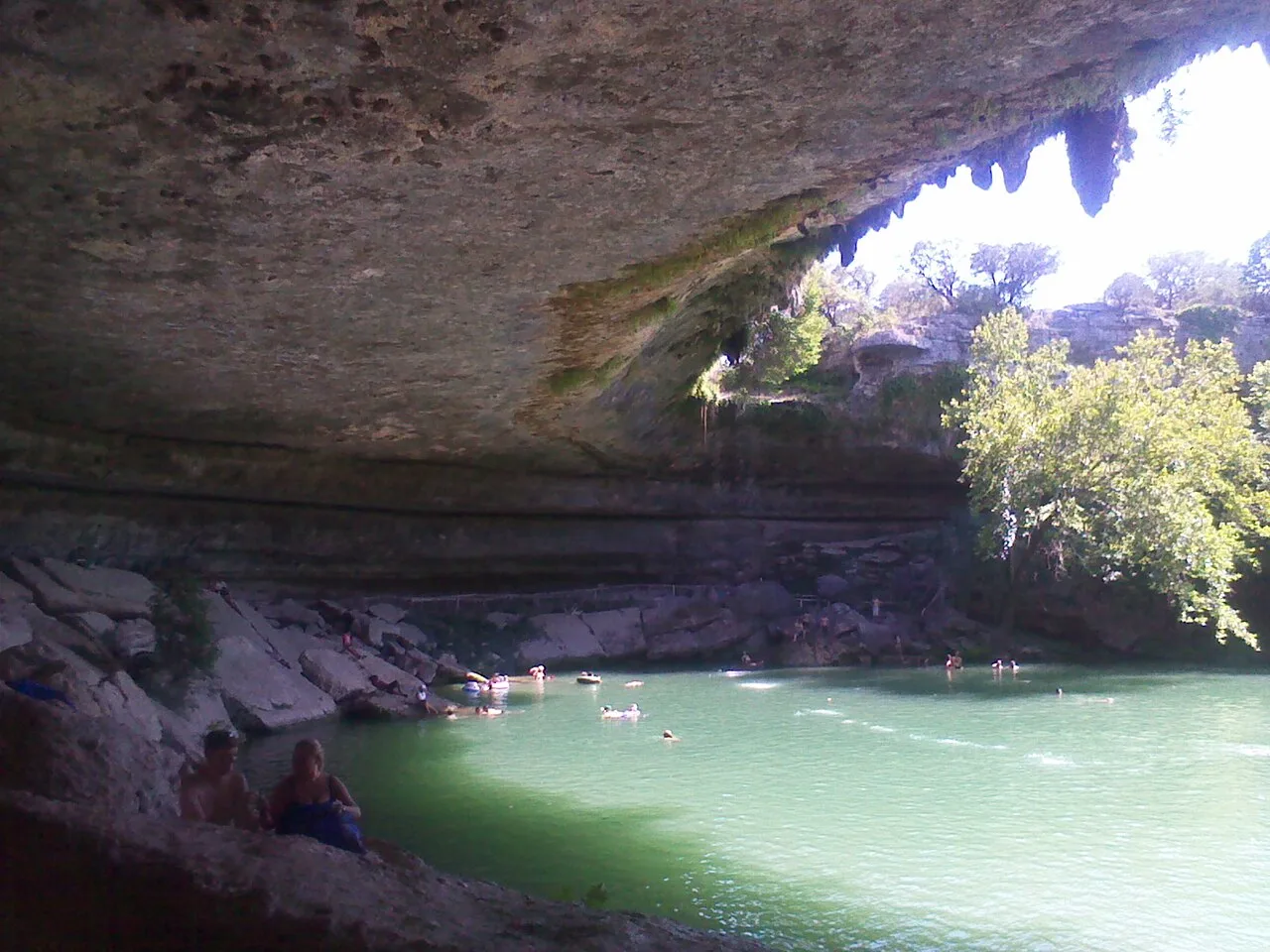
Hamilton Pool Preserve (Travis County) · Texas Hill Country · Texas
Spectacular 50-foot waterfall spilling over a massive collapsed limestone grotto into a jade-green box canyon pool surrounded by maidenhair ferns.
Photo: Alex Garrido · CC BY 3.0
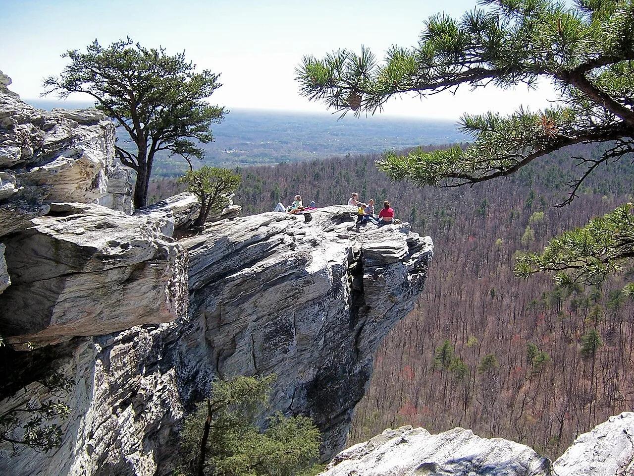
Hanging Rock State Park (Sauratown Mountains) · Appalachian & Blue Ridge · North Carolina
Isolated quartzite monadnock cliffs rising above the Piedmont with five spring-fed mountain waterfalls including Lower Cascades and Tory's Den.
Photo: Jacalyn Engler from Greensboro, United States · CC BY-SA 2.0
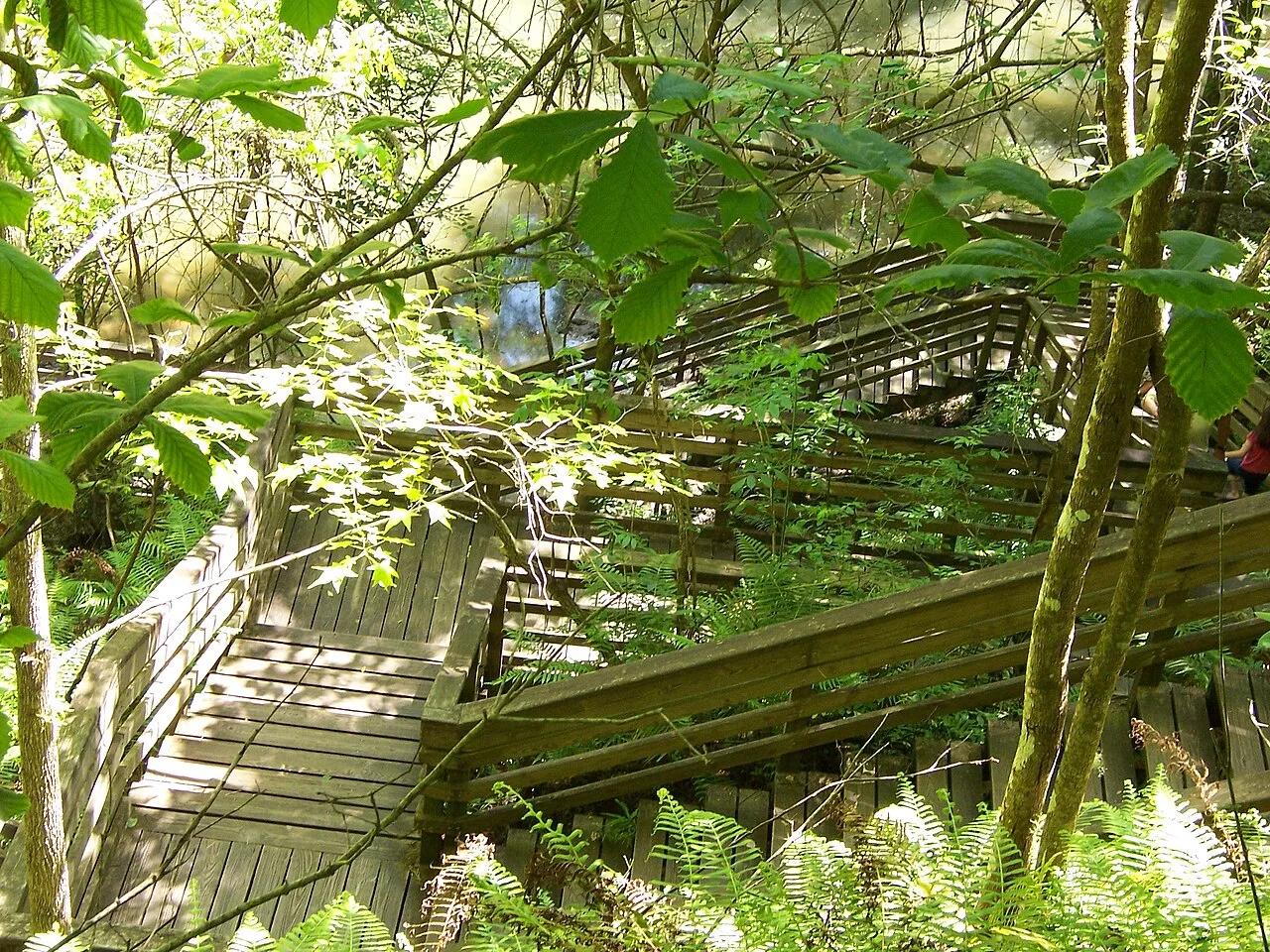
Devil's Millhopper Geological State Park (Gainesville) · Atlantic & Gulf Coasts · Florida
120-foot-deep, 500-foot-wide collapsed limestone karst sinkhole harboring a cool Appalachian-style miniature rainforest fed by 12 rim waterfalls.
Photo: Ken Watford · Public domain
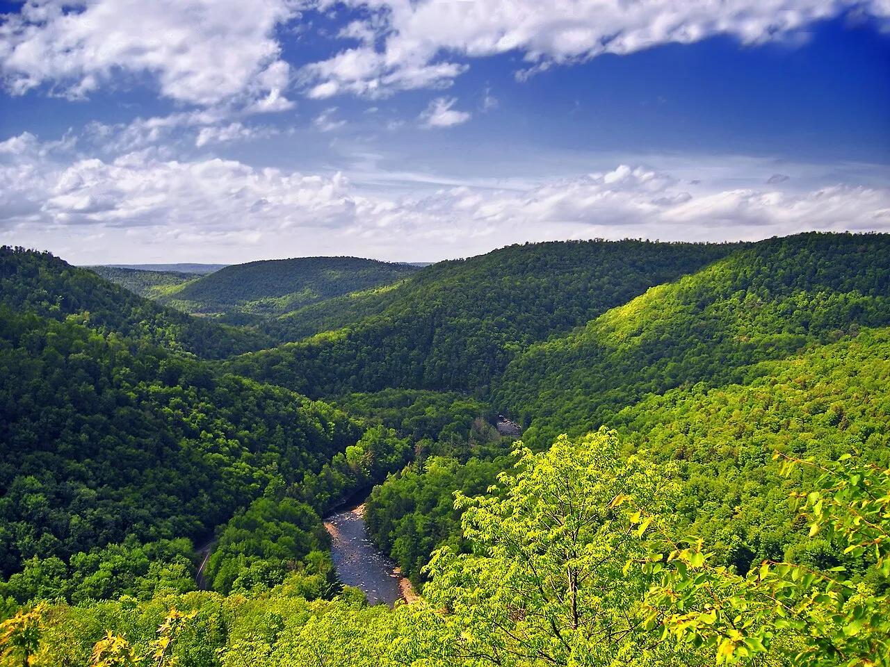
Worlds End State Park / Loyalsock State Forest · Endless Mountains · Pennsylvania
An S-shaped canyon carved 1,000 feet deep through the Endless Mountains plateau by the rushing waters of Loyalsock Creek.
Photo: Nicholas · CC BY 2.0
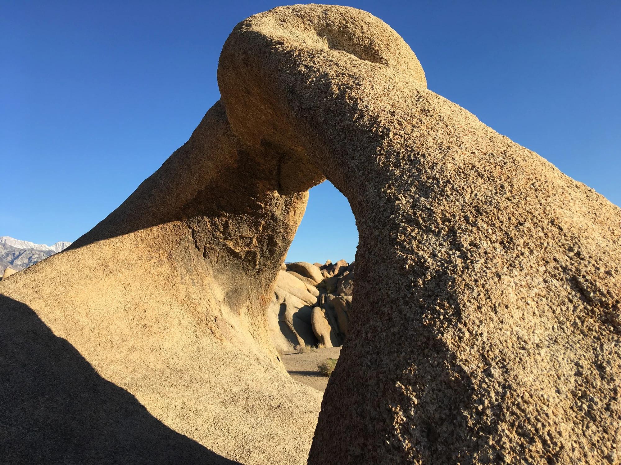
Eastern Sierra
Verified California arch in Eastern Sierra.
Photo: Clyde Charles Brown · CC BY-SA 4.0
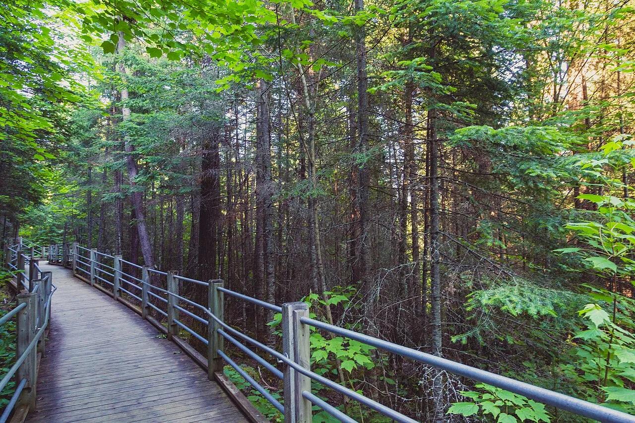
Grand Portage State Park · Arrowhead · Minnesota
Thunderous 120-foot waterfall roaring across a diabase sill on the US-Canada international border, navigated by an accessible riverside boardwalk.
Photo: Tony Webster from Minneapolis, Minnesota, United States · CC BY-SA 2.0
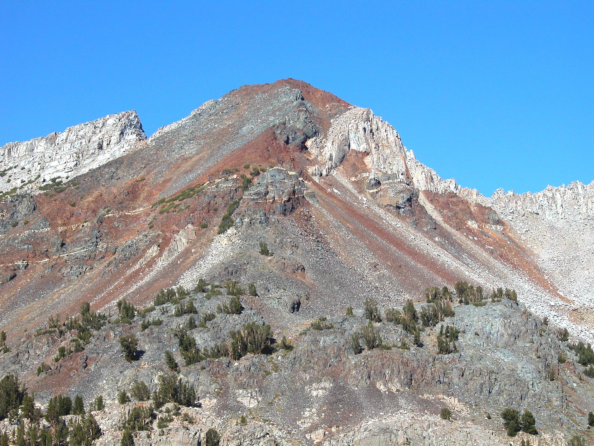
Inyo National Forest · Yosemite & Central Sierra
Verified California peak at 11,759 ft in Inyo National Forest (Yosemite & Central Sierra).
Photo: Feist, Michael - FunnyFence - catchthefuture · CC BY-SA 2.0