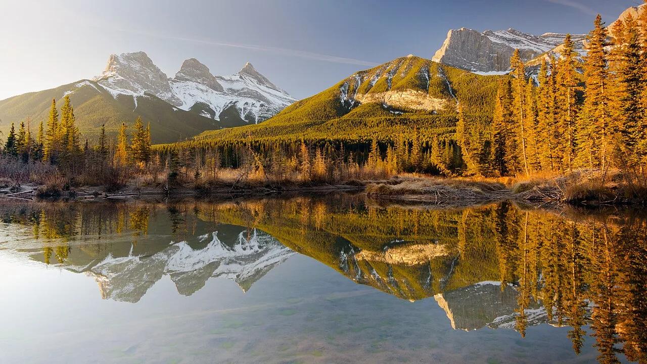
Canyon
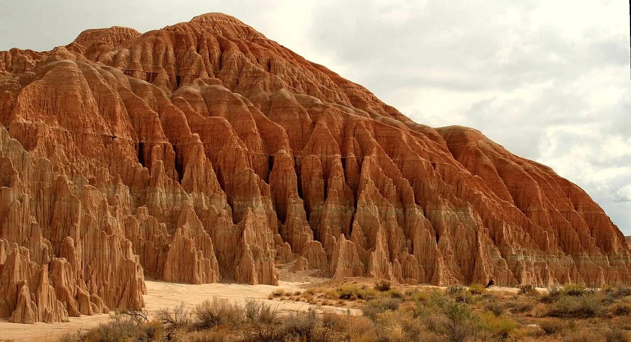
Cathedral Gorge State Park · Eastern Nevada · Nevada
Cathedral Gorge Slot Caves & Miller Point
Dramatic bentonite clay spires and narrow, twisting slot canyon fissures carved into a prehistoric Pliocene lakebed.
- Route
- 3 mi
- Climb
- 262 ft
Browse & Discover
Canyon trails, waterfall walks, ridge traverses and high peaks.
1,014 of 2,051 places
Drag to pan. Double-click, pinch or scroll to zoom. Keyboard: arrow keys and +/−. Cards below remain available.
Loading map… Browse the spot cards below at any time.

Eaton Canyon Natural Area
The waterfall at the head of lower Eaton Canyon, reached by a wide wash walk from the Eaton Canyon Nature Center and a final creekside scramble.
[scott.medling or en:user:scott.medling user:scott.medling from California, United States] · CC BY-SA 2.0. Source & image licence

Angeles National Forest
The ruined mountain resort of the Mount Lowe Railway, on a front-range promontory above Altadena at the top of the Lower Sam Merrill Trail.
Lennonrodgers at en.wikipedia · Public domain. Source & image licence

Escondido Canyon Park
A multi-tiered waterfall in Escondido Canyon above Malibu. The maintained trail ends at the base of the mossy lower tier.
Santa Monica Mountains National Recreation Area · Public domain. Source & image licence

Inyo National Forest
A chain of small alpine lakes at the head of Little Lakes Valley in the John Muir Wilderness, below the 13,000-foot peaks of the Bear Creek Spire cirque.
Jane S. Richardson (talk · contribs) · CC BY-SA 3.0. Source & image licence

Angeles National Forest
A high saddle and five-way trail junction on the Cucamonga Wilderness ridge, at the top of the steady climb up Icehouse Canyon.
Jason Hollinger · CC BY 2.0. Source & image licence

Mount Tamalpais Watershed
A winter-and-spring cascade on Cataract Creek just below the Laurel Dell picnic area, reached downhill along the Cataract Trail from Rock Spring.
Richard Wood · CC BY-SA 3.0. Source & image licence

Angeles National Forest
A waterfall of about fifty feet filling the head of a narrow, shaded canyon, a short walk upstream from Millard Campground.
Region 5 Photography · Public domain. Source & image licence

Mission Peak Regional Preserve
The bare grassland summit above Fremont, marked by the Mission Peeker sighting pole and climbed by the Hidden Valley Trail from Stanford Avenue.
Oleg Alexandrov · CC BY-SA 3.0. Source & image licence

Angeles National Forest
The highest summit of the San Gabriel Mountains, reached from Baldy Notch along the exposed Devils Backbone ridge.
Darkest tree · CC BY-SA 4.0. Source & image licence

Inyo National Forest
A quiet lake in the Ansel Adams Wilderness beneath Parker Peak, reached through sage and an aspen-lined creek canyon off the June Lake Loop.
Mark Gunn from Novato, California, USA · CC BY 2.0. Source & image licence

Santa Monica Mountains National Recreation Area
The highest point in the Santa Monica Mountains, climbed from the Mishe Mokwa trailhead along the Backbone Trail at Circle X Ranch.
Wasquewhat · CC BY-SA 4.0. Source & image licence

Angeles National Forest
A 50-foot single drop into a shallow plunge pool, 1.7 mi up Big Santa Anita Canyon. Shaded the entire way in. The work is all on the walk out.
U.S. Department of Agriculture / USDA USFS · CC BY 2.0. Source & image licence

Santa Monica Mountains National Recreation Area
The ruins of the Roberts family ranch house at the end of the canyon-floor trail in Solstice Canyon, beside a small seasonal waterfall.
George Heras / Santa Monica Mountains National Recreation Area · Public domain. Source & image licence
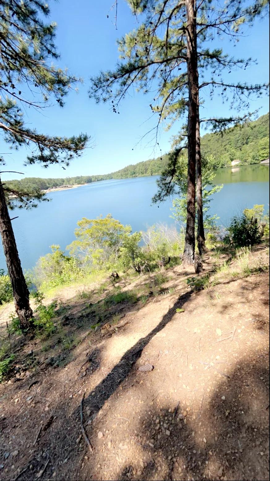
Oak Mountain State Park (Pelham) · Appalachian & Blue Ridge · Alabama
Spring-fed 65-foot sandstone waterfall and high Double Oak Mountain cliff overlook in Alabama's largest state park, paired with IMBA Red Trail singletrack.
Photo: Ghyoungb01 · Public domain
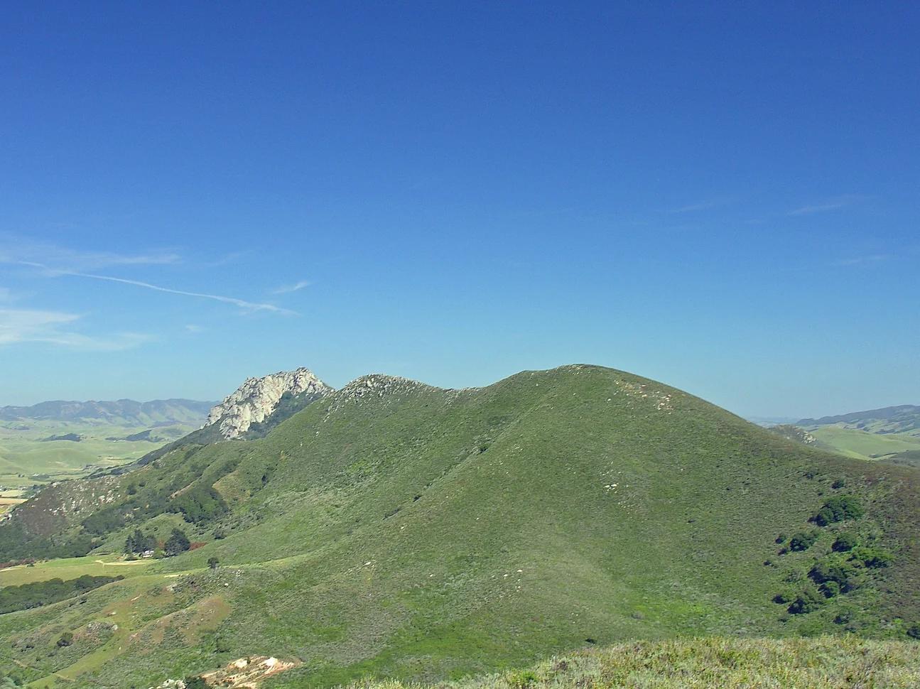
Central Coast
Verified California peak at 902 ft in Central Coast.
Photo: No machine-readable author provided. Kjkolb assumed (based on copyright claims). · CC BY 2.5
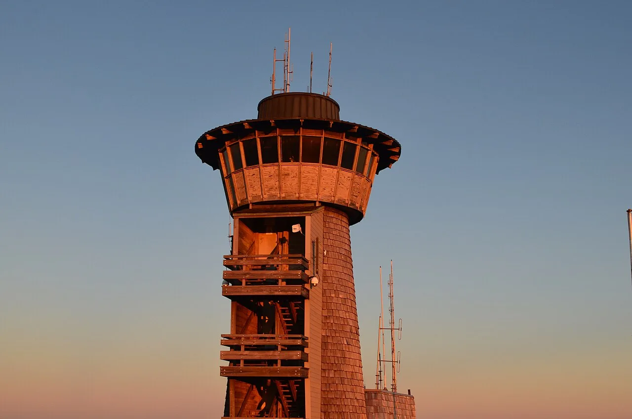
Chattahoochee-Oconee National Forest · Appalachian & Blue Ridge · Georgia
Highest natural point in Georgia (4,784 ft), where a steep stunted-oak and rhododendron trail climbs to a 360-degree four-state observation deck.
Photo: Anthony Rizzo · CC BY-SA 4.0
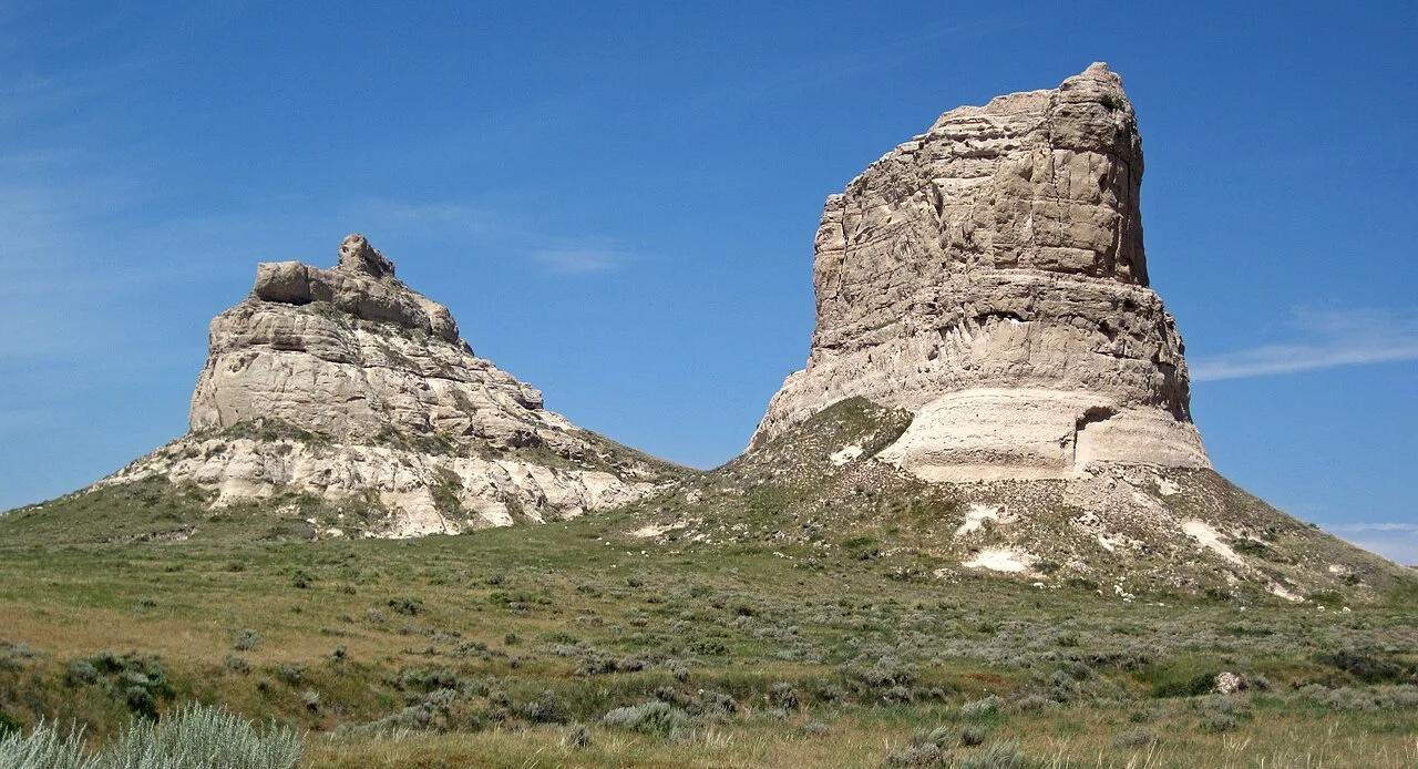
Courthouse and Jail Rocks State Historical Site (Bridgeport) · Panhandle · Nebraska
Monumental 400-foot Brule clay and sandstone monoliths visible for 40 miles that served as celebrated milestones for Oregon and Mormon Trail pioneers.
Photo: James St. John · CC BY 2.0
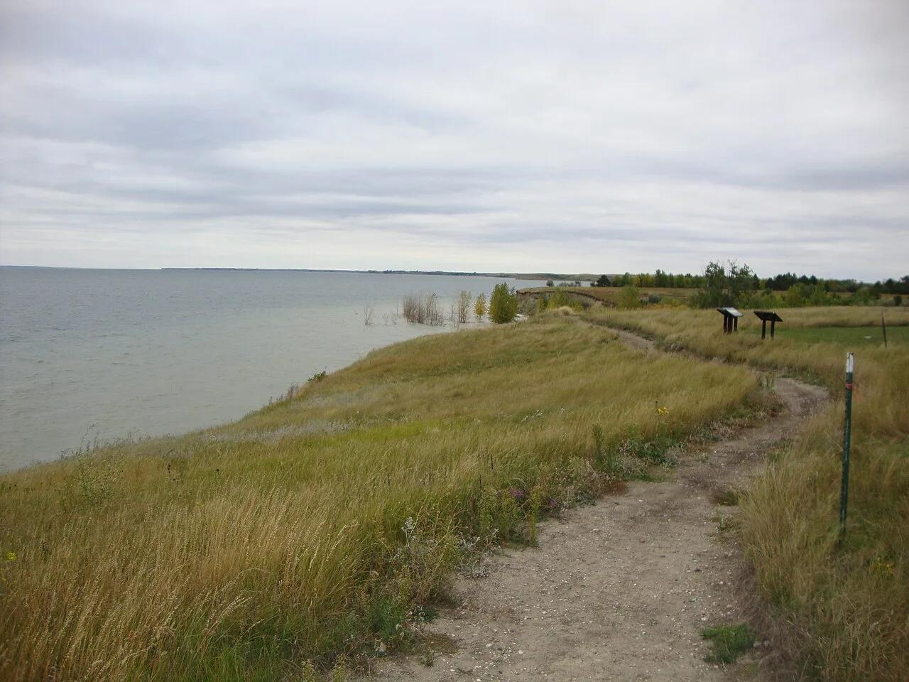
Lake Sakakawea State Park (Riverdale) · Central North Dakota · North Dakota
The official western terminus of the 4,800-mile North Country National Scenic Trail, tracing rocky bluffs over the massive blue waters of Lake Sakakawea.
Photo: David Becker · CC BY 2.0
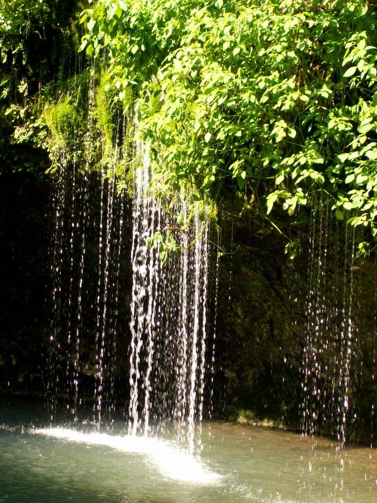
Natural Falls State Park (Colcord) · Ozark Plateau · Oklahoma
A 77-foot waterfall tumbling down a moss- and fern-draped chasm into a turquoise pool, featured in the 1974 film 'Where the Red Fern Grows'.
Photo: friggy_30 from s.w. missouri, USA · CC BY 2.0
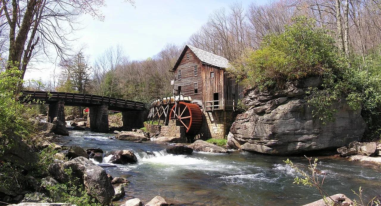
Babcock State Park · Appalachian & Blue Ridge · West Virginia
Operating waterwheel grist mill beside cascading Glade Creek waterfalls, linked to the cliffside 'Island in the Sky' rock steps.
Photo: Gabor Eszes (UED77) · CC BY-SA 3.0
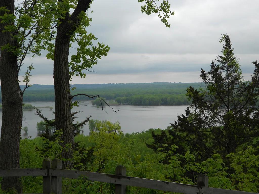
Mississippi Palisades State Park · Upper Mississippi Valley · Illinois
Towering dolomite sea-palisades overlooking the Mississippi and Apple River confluence, framed by eroded pillars Sentinel Rock and Twin Sisters.
Photo: moistpics3 · CC BY 2.0
Ozark National Scenic Riverways · Ozarks · Missouri
Missouri's deepest spring at over 310 feet, producing an unearthly cobalt-blue pool revered by the Osage as 'Spring of the Summer Sky'.
Photo: Ken Lund from Reno, Nevada, USA · CC BY-SA 2.0
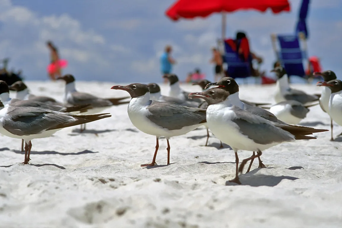
Gulf Islands National Seashore (Ocean Springs) · Atlantic & Gulf Coasts · Mississippi
Live-oak maritime forest boardwalks and calm salt-marsh bayou kayak loops along the Mississippi Sound.
Photo: LASZLO ILYES from Cleveland, Ohio, USA · CC BY 2.0