Viewpoint
Inyo National Forest · Yosemite & Central Sierra
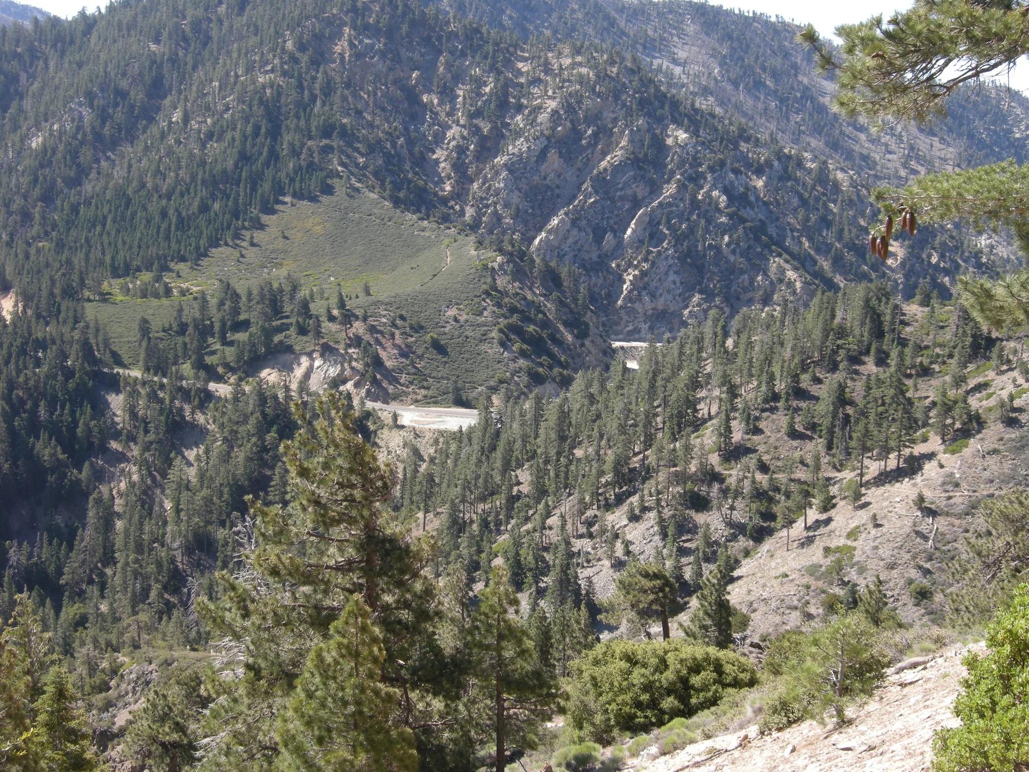
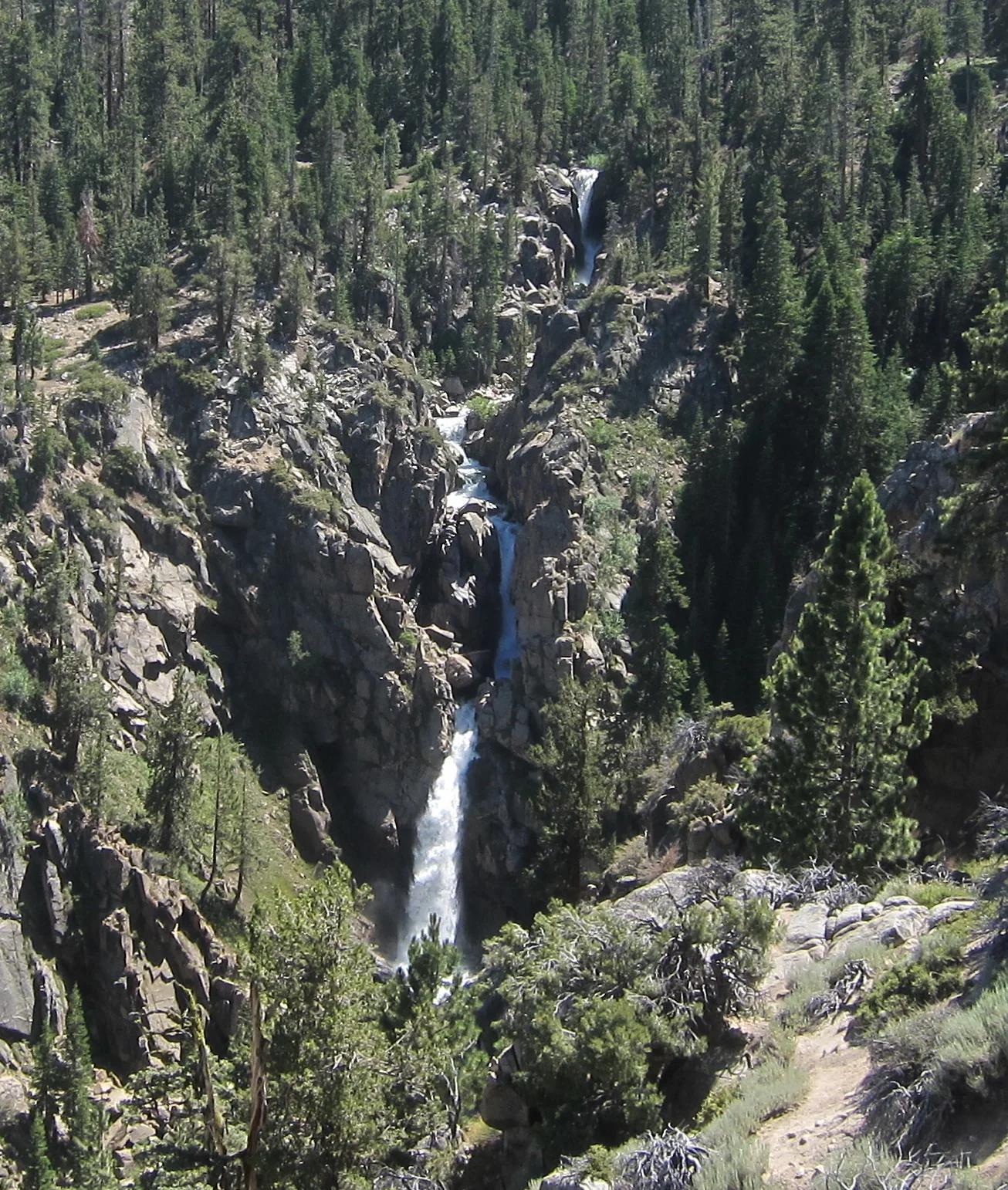
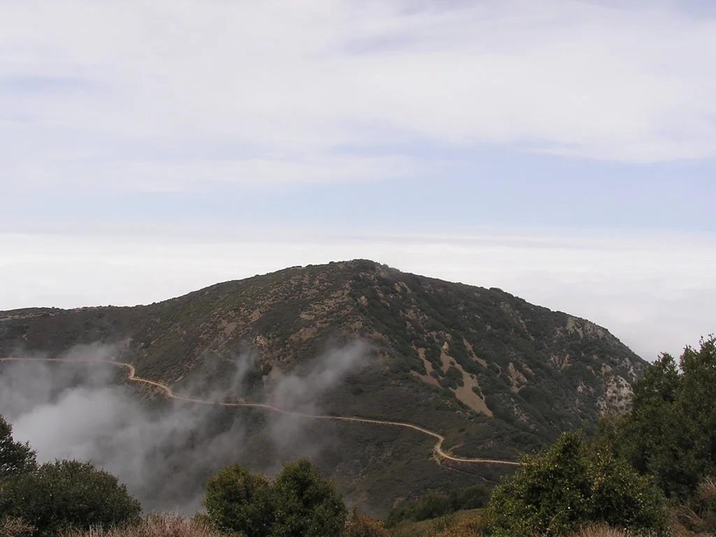
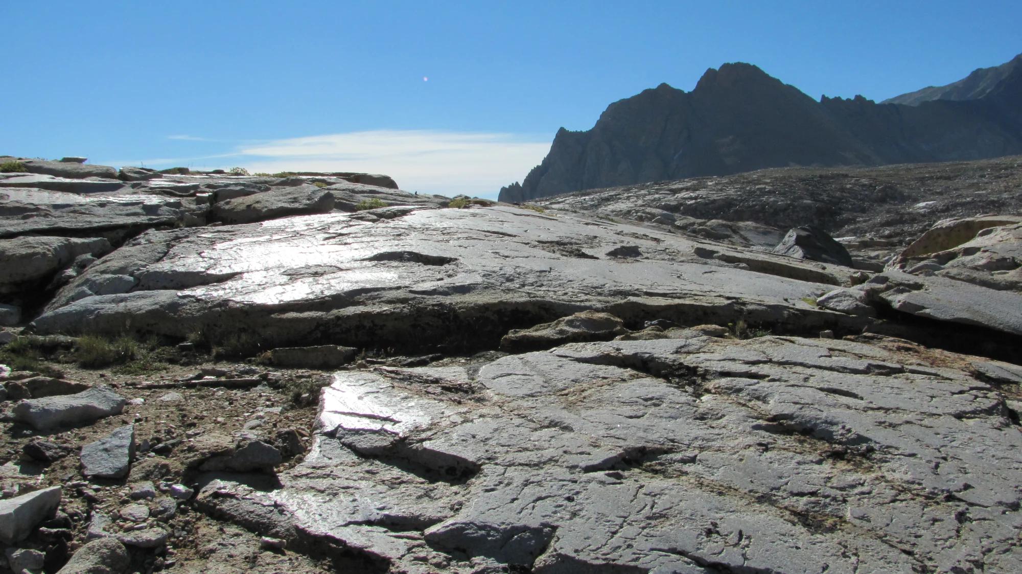
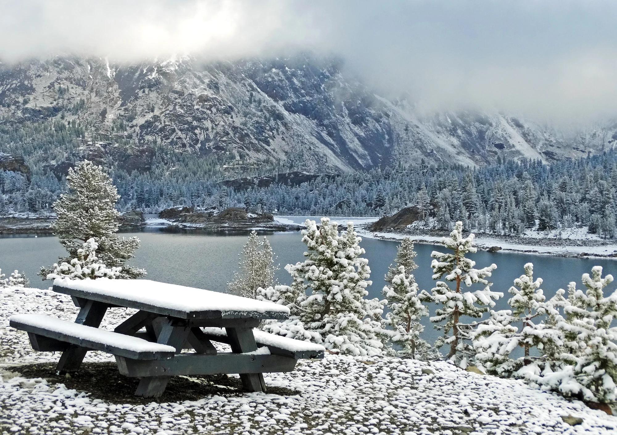
Tioga Lake Overlook
Verified California viewpoint at 9,551 ft in Inyo National Forest (Yosemite & Central Sierra). Linked to Glacier Canyon.
- Route
- 0.1 mi
- Elevation
- 9,551 ft
Browse & Discover
Canyon trails, waterfall walks, ridge traverses and high peaks.
1,014 of 2,051 places
Drag to pan. Double-click, pinch or scroll to zoom. Keyboard: arrow keys and +/−. Cards below remain available.
Loading map… Browse the spot cards below at any time.

Eaton Canyon Natural Area
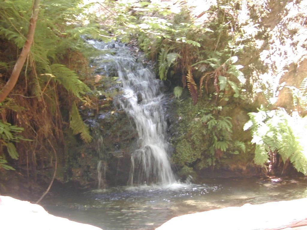
The waterfall at the head of lower Eaton Canyon, reached by a wide wash walk from the Eaton Canyon Nature Center and a final creekside scramble.
[scott.medling or en:user:scott.medling user:scott.medling from California, United States] · CC BY-SA 2.0. Source & image licence

Angeles National Forest
The ruined mountain resort of the Mount Lowe Railway, on a front-range promontory above Altadena at the top of the Lower Sam Merrill Trail.
Lennonrodgers at en.wikipedia · Public domain. Source & image licence

Escondido Canyon Park
A multi-tiered waterfall in Escondido Canyon above Malibu. The maintained trail ends at the base of the mossy lower tier.
Santa Monica Mountains National Recreation Area · Public domain. Source & image licence

Inyo National Forest
A chain of small alpine lakes at the head of Little Lakes Valley in the John Muir Wilderness, below the 13,000-foot peaks of the Bear Creek Spire cirque.
Jane S. Richardson (talk · contribs) · CC BY-SA 3.0. Source & image licence

Angeles National Forest
A high saddle and five-way trail junction on the Cucamonga Wilderness ridge, at the top of the steady climb up Icehouse Canyon.
Jason Hollinger · CC BY 2.0. Source & image licence

Mount Tamalpais Watershed
A winter-and-spring cascade on Cataract Creek just below the Laurel Dell picnic area, reached downhill along the Cataract Trail from Rock Spring.
Richard Wood · CC BY-SA 3.0. Source & image licence

Angeles National Forest
A waterfall of about fifty feet filling the head of a narrow, shaded canyon, a short walk upstream from Millard Campground.
Region 5 Photography · Public domain. Source & image licence

Mission Peak Regional Preserve
The bare grassland summit above Fremont, marked by the Mission Peeker sighting pole and climbed by the Hidden Valley Trail from Stanford Avenue.
Oleg Alexandrov · CC BY-SA 3.0. Source & image licence

Angeles National Forest
The highest summit of the San Gabriel Mountains, reached from Baldy Notch along the exposed Devils Backbone ridge.
Darkest tree · CC BY-SA 4.0. Source & image licence

Inyo National Forest
A quiet lake in the Ansel Adams Wilderness beneath Parker Peak, reached through sage and an aspen-lined creek canyon off the June Lake Loop.
Mark Gunn from Novato, California, USA · CC BY 2.0. Source & image licence

Santa Monica Mountains National Recreation Area
The highest point in the Santa Monica Mountains, climbed from the Mishe Mokwa trailhead along the Backbone Trail at Circle X Ranch.
Wasquewhat · CC BY-SA 4.0. Source & image licence

Angeles National Forest
A 50-foot single drop into a shallow plunge pool, 1.7 mi up Big Santa Anita Canyon. Shaded the entire way in. The work is all on the walk out.
U.S. Department of Agriculture / USDA USFS · CC BY 2.0. Source & image licence

Santa Monica Mountains National Recreation Area
The ruins of the Roberts family ranch house at the end of the canyon-floor trail in Solstice Canyon, beside a small seasonal waterfall.
George Heras / Santa Monica Mountains National Recreation Area · Public domain. Source & image licence
Inyo National Forest · Yosemite & Central Sierra
Verified California viewpoint at 9,551 ft in Inyo National Forest (Yosemite & Central Sierra). Linked to Glacier Canyon.
Photo: Don Graham from Redlands, CA, USA - God bless it! · CC BY-SA 2.0
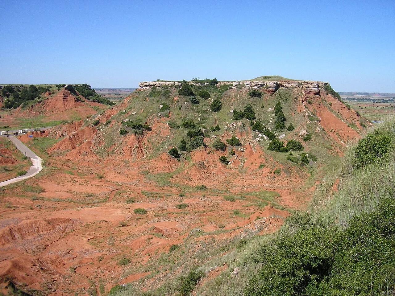
Gloss Mountain State Park (Fairview) · Northwest Oklahoma · Oklahoma
Dramatic red clay and gypsum mesas sparkling with selenite crystals like glass, scaled by a wooden staircase to views across the Cimarron Valley.
Photo: Okiefromokla at English Wikipedia · Public domain
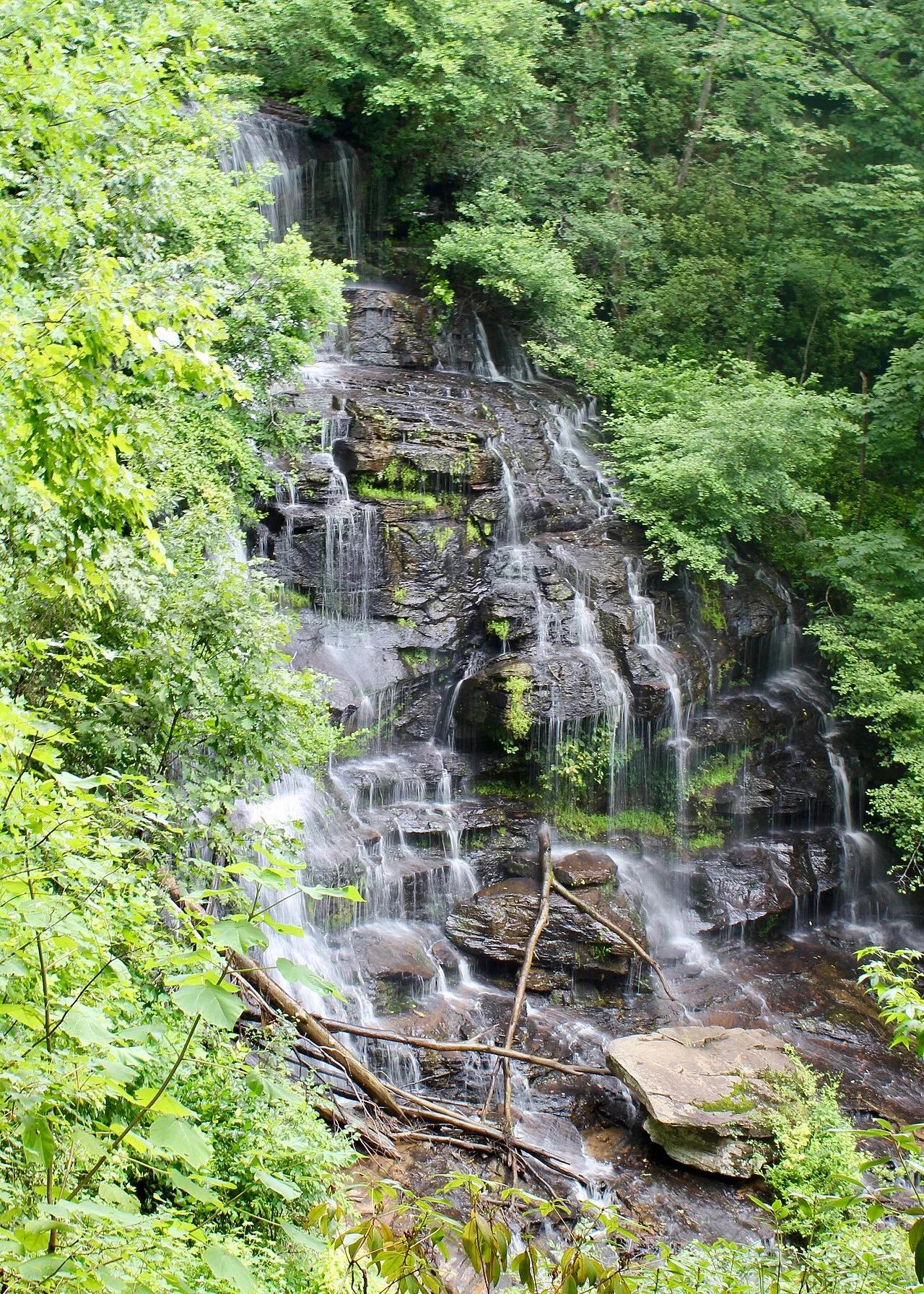
Stumphouse Park / Sumter National Forest (Walhalla) · Appalachian & Blue Ridge · South Carolina
100-foot cascading waterfall over stepped metamorphic ledges paired with an unfinished 1850s hand-chiseled blue-granite railroad tunnel and mountain bike park.
Photo: John Foxe · CC BY-SA 4.0
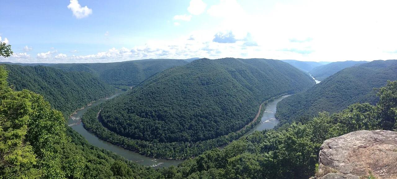
New River Gorge National Park (Grandview) · Appalachian & Blue Ridge · West Virginia
1,400-foot high cliff above the Quinnimont horseshoe bend of the New River, paired with a shaded path beneath 100-foot coal-seamed sandstone walls.
Photo: Aparkswv · CC BY-SA 4.0
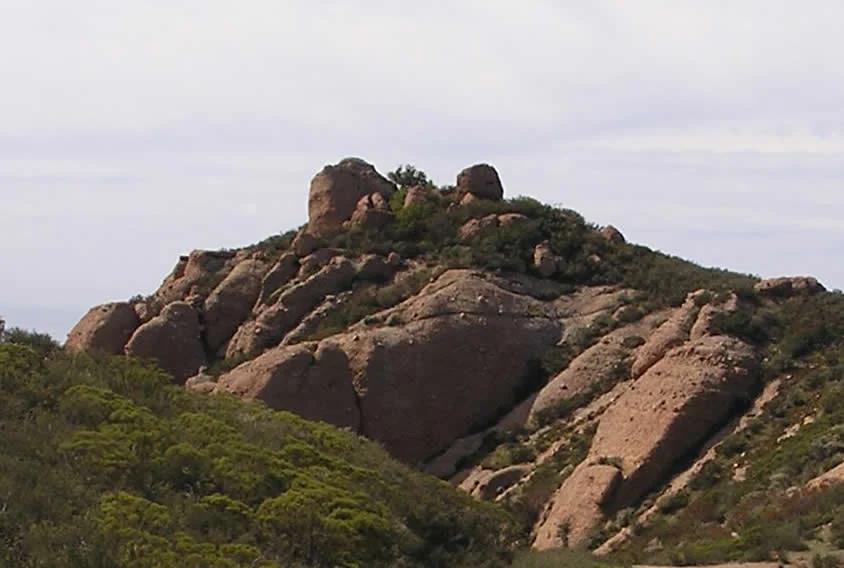
Santa Monica Mountains
Verified California peak in Santa Monica Mountains. Linked to Backbone Trail.
Photo: Justin Johnsen ( Justin.Johnsen ) · CC BY-SA 3.0
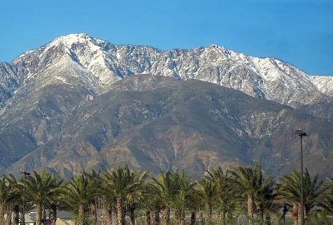
Angeles National Forest · San Gabriel Mountains
Verified California peak at 8,842 ft in Angeles National Forest (San Gabriel Mountains).
Photo: Cliff Hutson ; later cropping and color editing by Daniel Case . · CC BY 2.0
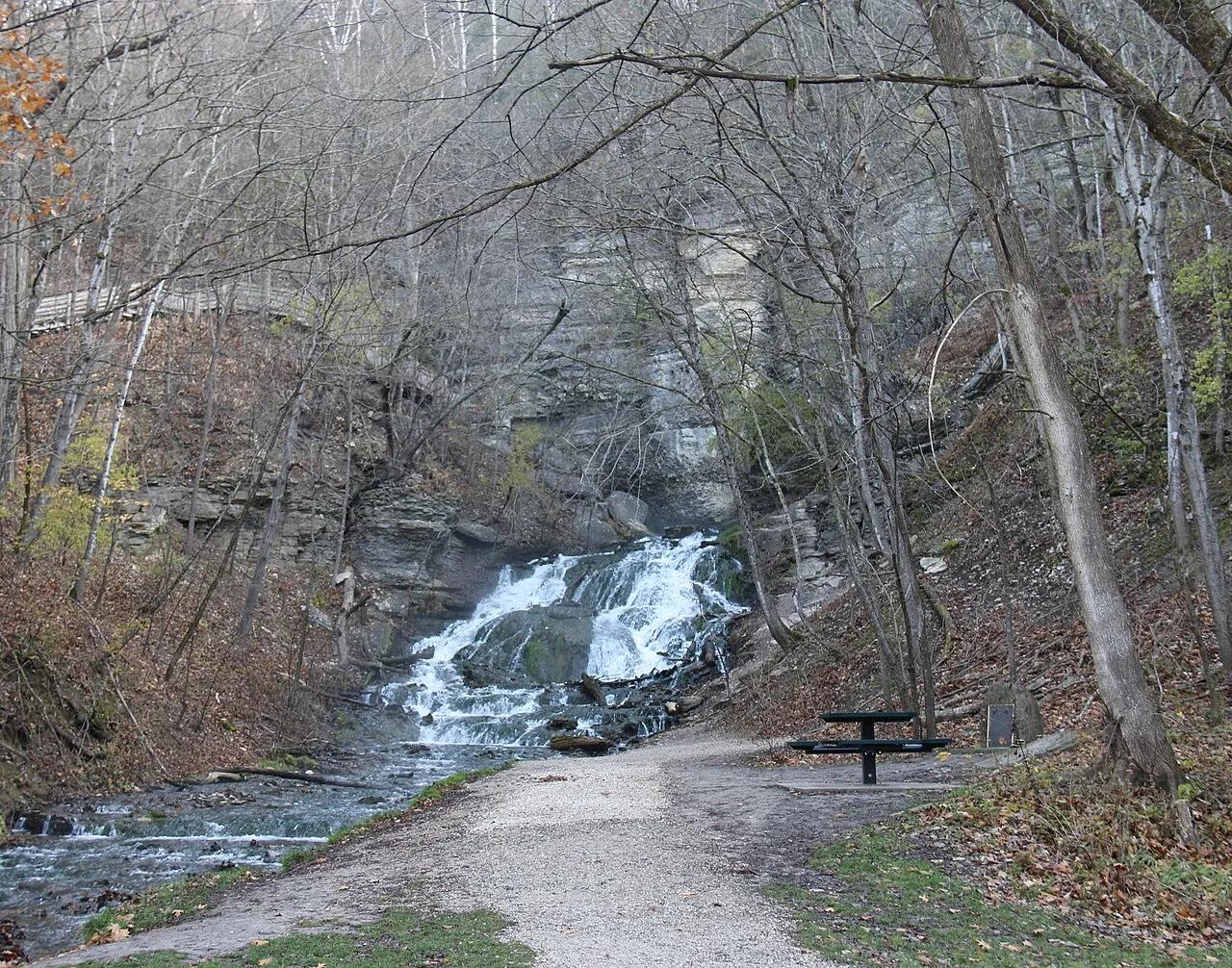
Dunning's Spring Park / Decorah City Parks · Driftless Area · Iowa
Spectacular 200-foot spring-fed cascade tumbling over limestone shelves surrounded by cold-water trout streams and nearby Decorah Ice Cave.
Photo: Tomruen · CC BY-SA 4.0
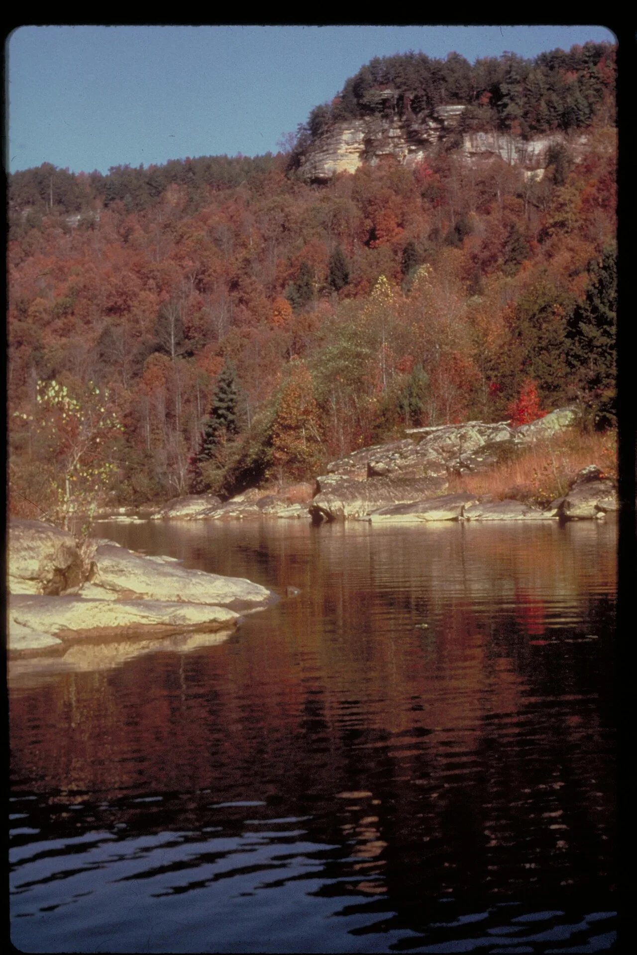
Cumberland Falls State Resort Park (Corbin) · Appalachian & Blue Ridge · Kentucky
44-foot waterfall plunging into a rocky gorge directly across the river from 125-foot-wide Cumberland Falls, offering the best side-by-side view of both cascades.
Photo: NPS staff · Public domain
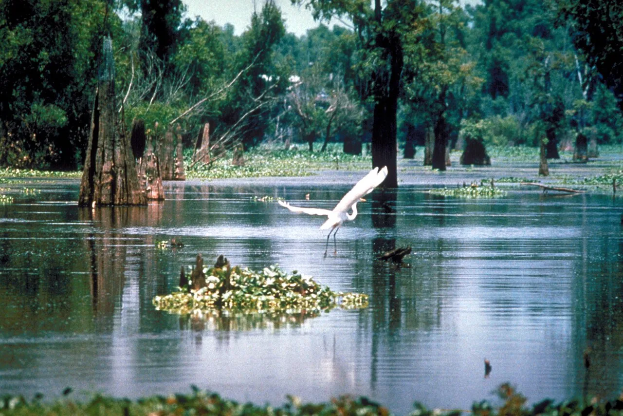
Lake Fausse Pointe State Park (St. Martinville) · South & Gulf Coast · Louisiana
6,000-acre wilderness inside the Atchafalaya Basin featuring backwater cypress canoe trails and elevated swamp boardwalks.
Photo: U.S. Army Corps of Engineers, photographer not specified or unknown · Public domain
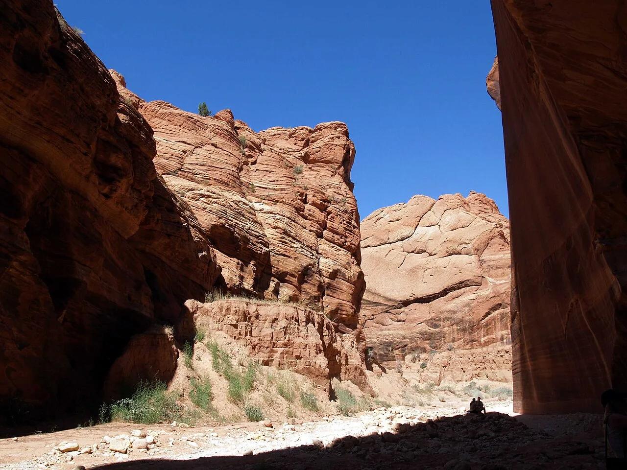
Vermilion Cliffs National Monument (Kanab) · Colorado Plateau · Utah
Sculpted wave-like Navajo sandstone narrows leading into the longest and deepest contiguous slot canyon in the American Southwest.
Photo: Philkon Phil Konstantin · Public domain
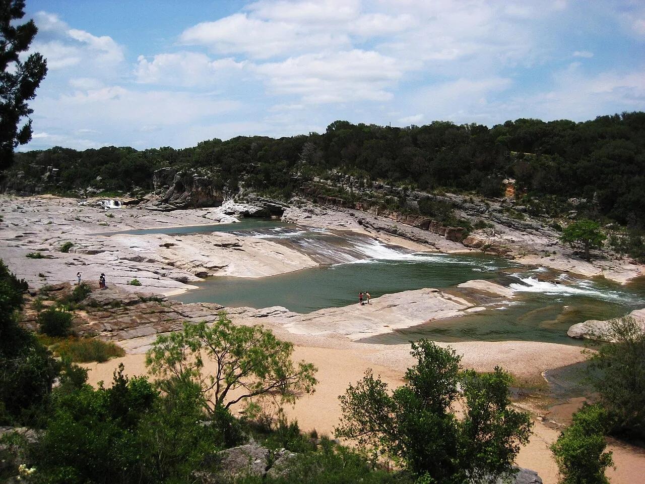
Pedernales Falls State Park (Texas Hill Country) · American Southwest · Texas
300-million-year-old tilted slabs of Marble Falls limestone channeling the Pedernales River through stair-stepped chutes and potholes.
Photo: Liveon001 ©Travis Witt · CC BY-SA 3.0
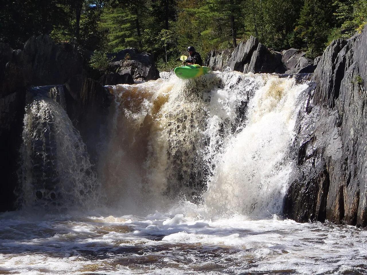
Appalachian Trail Corridor / KI Jo-Mary Multiple Use Forest · Maine Highlands · Maine
Known as the Grand Canyon of Maine, this 400-foot deep slate gorge features roaring screw-auger waterfalls and 200-year-old virgin white pines.
Photo: Tcpx36 · CC BY-SA 3.0
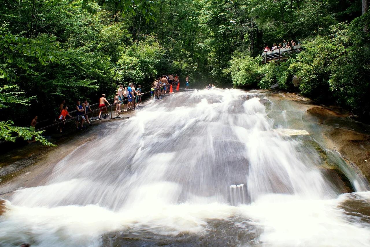
Pisgah National Forest (Brevard) · Appalachian & Blue Ridge · North Carolina
Natural 60-foot smooth granite waterslide fed by 11,000 gallons per minute of Looking Glass Creek, paired with a walk-behind 50-foot forest waterfall.
Photo: Lincolnh · CC BY-SA 3.0
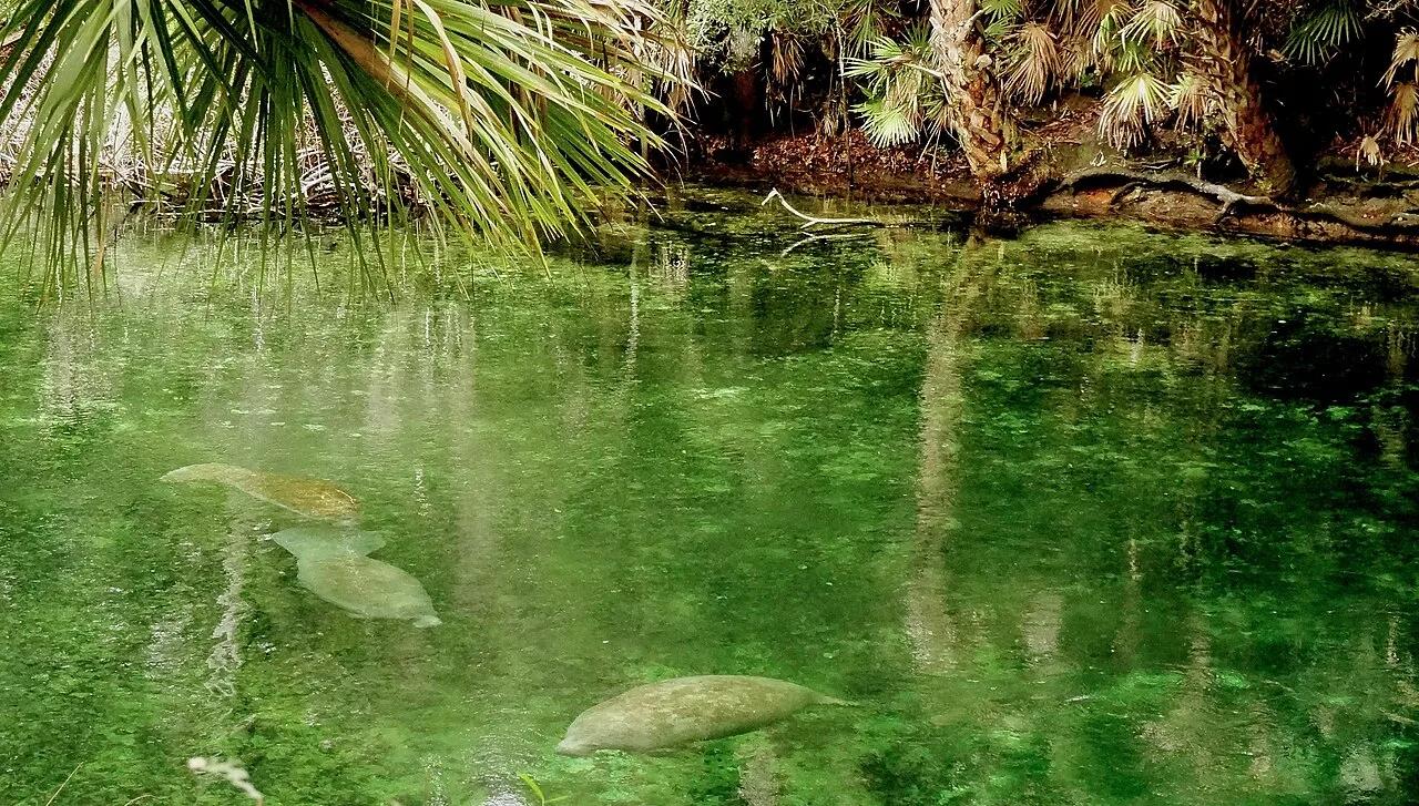
Blue Spring State Park (Orange City) · Atlantic & Gulf Coasts · Florida
Designated winter refuge for over 700 West Indian manatees along a crystal-clear emerald spring run feeding the St. Johns River.
Photo: Rizka · CC BY-SA 4.0
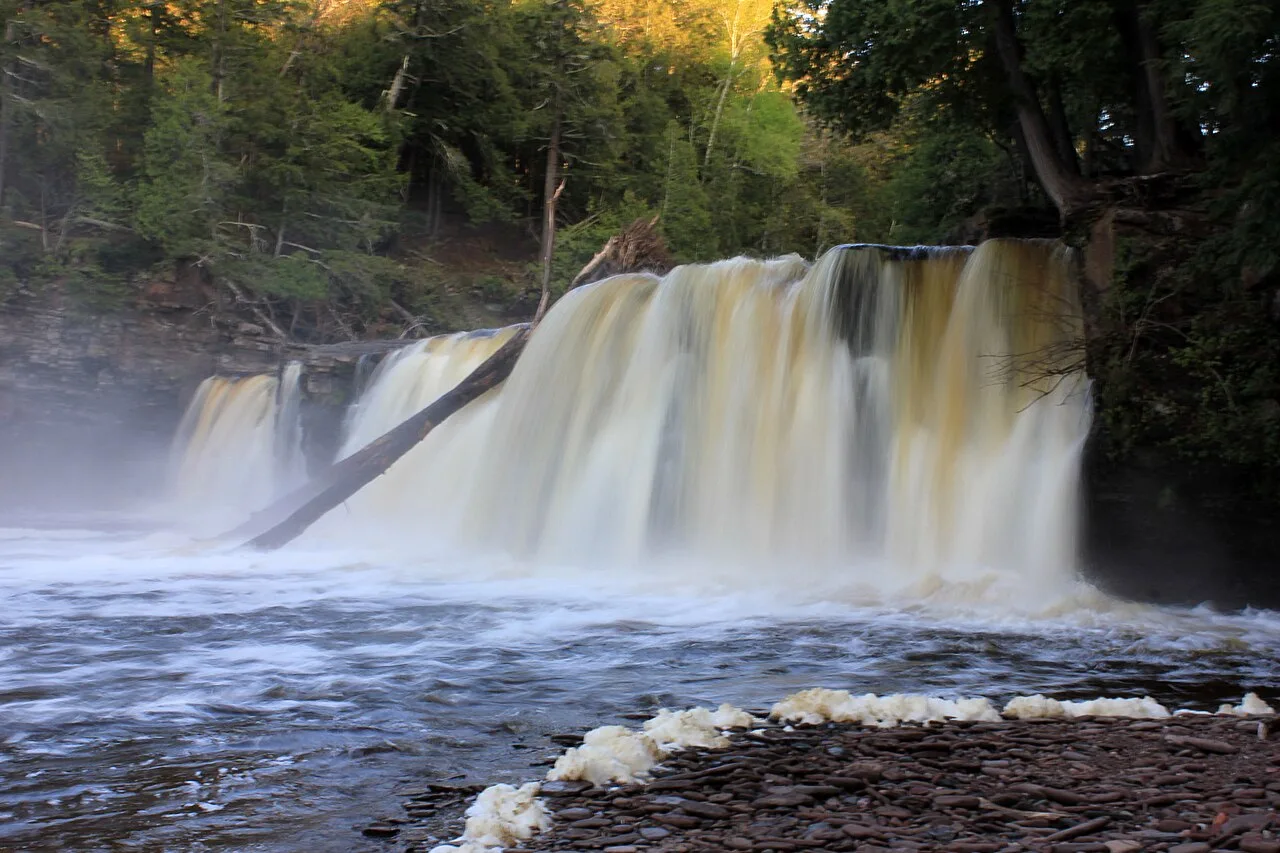
Porcupine Mountains Wilderness State Park · Upper Peninsula · Michigan
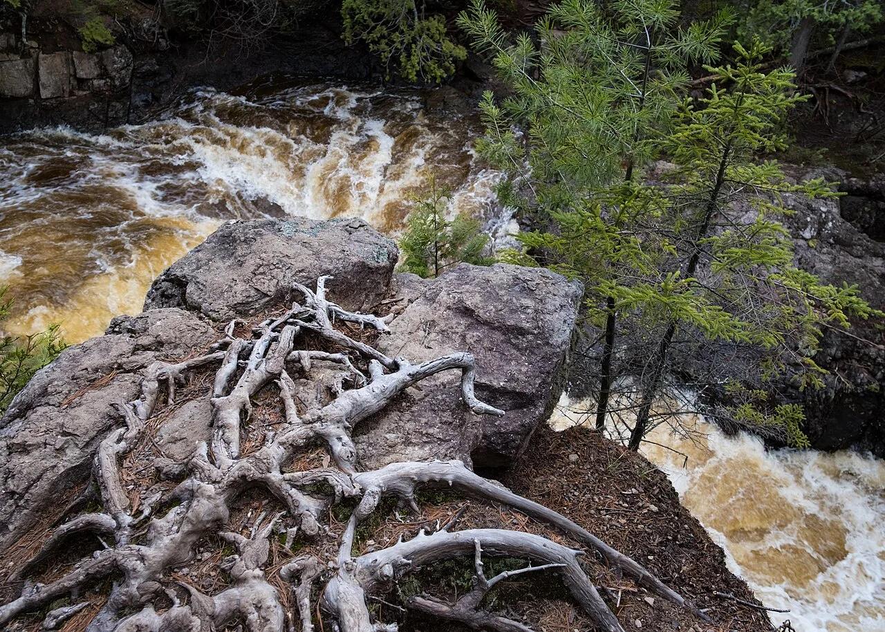
Roaring trio of amber-colored cataracts—Manabezho, Manido, and Nawadaha Falls—racing through a deep hemlock gorge into Lake Superior.
Photo: Yinan Chen · Public domain
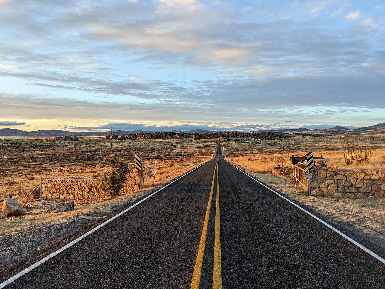
City of Rocks State Park · American Southwest · New Mexico
34-million-year-old Kneeling Nun rhyolite tuff monoliths arranged like city blocks across the Chihuahuan Desert grassland, with campsites tucked into the rocks.
Photo: Matthew.kowal · CC BY-SA 4.0