Wichita Mountains Wildlife Refuge · Great Plains & Heartland · Oklahoma
Elk Mountain & Charons Garden Wilderness
Pink granite boulder fields, summit slabs, and prairie canyons shared with bison and Rocky Mountain elk.
- Route
- 2.4 mi
- Climb
- 541 ft
Browse & Discover
Canyon trails, waterfall walks, ridge traverses and high peaks.
1,159 of 2,051 places
Drag to pan. Double-click, pinch or scroll to zoom. Keyboard: arrow keys and +/−. Cards below remain available.
Loading map… Browse the spot cards below at any time.

Joshua Tree National Park
A granite arch in the White Tank monzogranite, reached by a short sandy trail from the Twin Tanks parking area.
John D. from Pasadena, USA · CC BY 2.0. Source & image licence

Joshua Tree National Park
A short desert trail to the historic Barker Dam water-storage structure in Joshua Tree National Park.
Hannah Schwalbe / NPS · Public domain. Source & image licence

Russian Ridge Open Space Preserve
The highest named summit in San Mateo County, an open grassland top on Russian Ridge with views from the ocean to the Bay.
Justin Dolske from Cupertino, USA · CC BY-SA 2.0. Source & image licence

Eaton Canyon Natural Area
The waterfall at the head of lower Eaton Canyon, reached by a wide wash walk from the Eaton Canyon Nature Center and a final creekside scramble.
[scott.medling or en:user:scott.medling user:scott.medling from California, United States] · CC BY-SA 2.0. Source & image licence

Escondido Canyon Park
A multi-tiered waterfall in Escondido Canyon above Malibu. The maintained trail ends at the base of the mossy lower tier.
Santa Monica Mountains National Recreation Area · Public domain. Source & image licence

Mount Tamalpais Watershed
A winter-and-spring cascade on Cataract Creek just below the Laurel Dell picnic area, reached downhill along the Cataract Trail from Rock Spring.
Richard Wood · CC BY-SA 3.0. Source & image licence

Joshua Tree National Park
One of the best-preserved stamp mills in Joshua Tree National Park, at the site of the Lost Horse gold mine.
Joseph from Cabin On The Road, USA · CC BY-SA 2.0. Source & image licence

Angeles National Forest
A waterfall of about fifty feet filling the head of a narrow, shaded canyon, a short walk upstream from Millard Campground.
Region 5 Photography · Public domain. Source & image licence

Mount Tamalpais State Park
The summit of Mount Tamalpais, a short plank-and-rock climb from the East Peak visitor area to the fire lookout above the whole Bay Area.
Chris Koerner from St. Louis, USA · CC BY-SA 2.0. Source & image licence

Inyo National Forest
A quiet lake in the Ansel Adams Wilderness beneath Parker Peak, reached through sage and an aspen-lined creek canyon off the June Lake Loop.
Mark Gunn from Novato, California, USA · CC BY 2.0. Source & image licence

Pfeiffer Big Sur State Park
A 60-foot waterfall on Pfeiffer-Redwood Creek, reached through the redwoods of Pfeiffer Big Sur State Park on a trail twice rebuilt — after the 2008 Basin Complex Fire and again after 2023 storm damage.
Joe Mabel · CC BY-SA 4.0. Source & image licence

Santa Monica Mountains National Recreation Area
The highest point in the Santa Monica Mountains, climbed from the Mishe Mokwa trailhead along the Backbone Trail at Circle X Ranch.
Wasquewhat · CC BY-SA 4.0. Source & image licence

Angeles National Forest
A 50-foot single drop into a shallow plunge pool, 1.7 mi up Big Santa Anita Canyon. Shaded the entire way in. The work is all on the walk out.
U.S. Department of Agriculture / USDA USFS · CC BY 2.0. Source & image licence

Santa Monica Mountains National Recreation Area
The ruins of the Roberts family ranch house at the end of the canyon-floor trail in Solstice Canyon, beside a small seasonal waterfall.
George Heras / Santa Monica Mountains National Recreation Area · Public domain. Source & image licence

Pfeiffer Big Sur State Park
An overlook above the Big Sur River valley, looking north over the redwoods toward Point Sur and the Pacific.
King of Hearts · CC BY-SA 3.0. Source & image licence

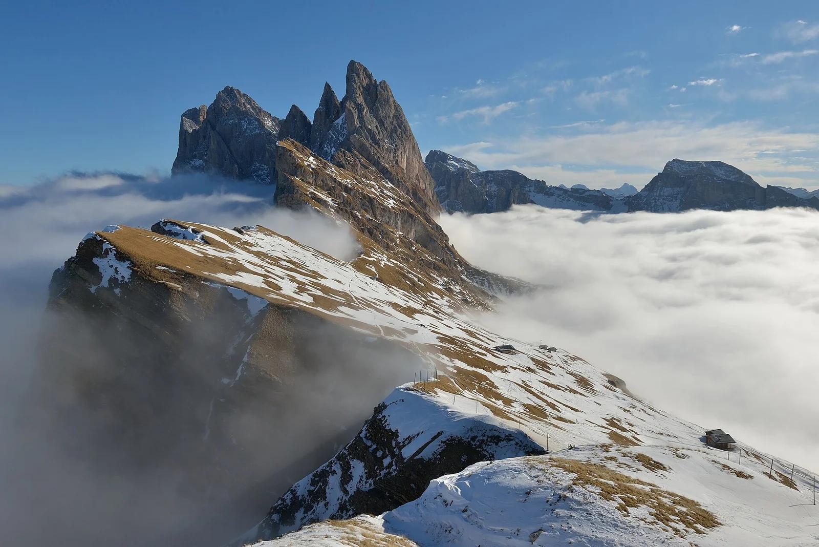
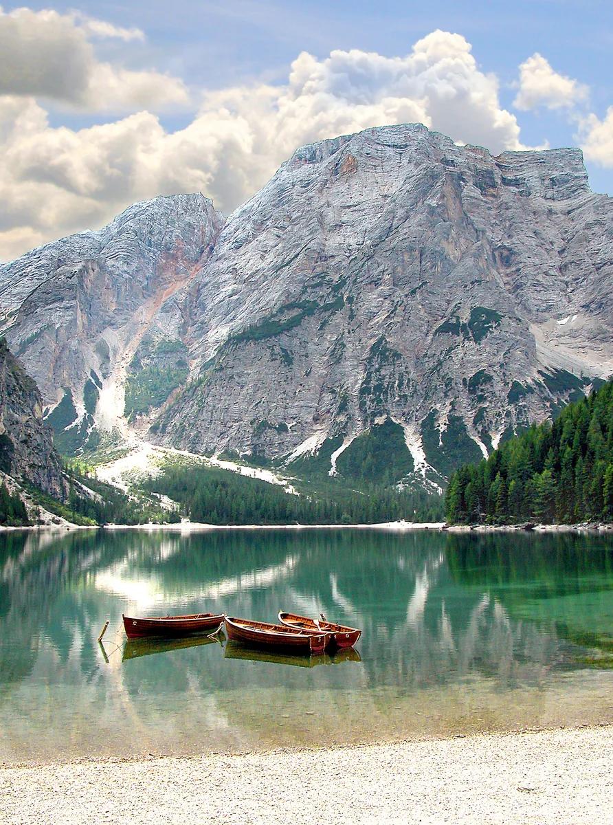
Puez-Geisler Nature Park · Dolomites & Italy · Italy
Staggering angled knife-edge escarpment dropping precipitously down to Val di Funes, with serrated Geisler / Odle peaks piercing the sky.
Photo: This Photo was taken by Wolfgang Moroder. Feel free to use my photos, but please mention me as the author and send me a message. This image is not in the public domain. Please respect the copyright protection. It may only be used according to the rules mentioned here. This specifically excludes use in social media, if applicable terms of the licenses listed here are not appropriate. Please do not upload an updated image here without consultation with the Author. The author would like to make corrections only at his own source. This ensures that the changes are preserved.Please if you think that any changes should be required, please inform the author.Otherwise you can upload a new image with a new name. Please use one of the templates derivative or extract. · CC BY-SA 3.0

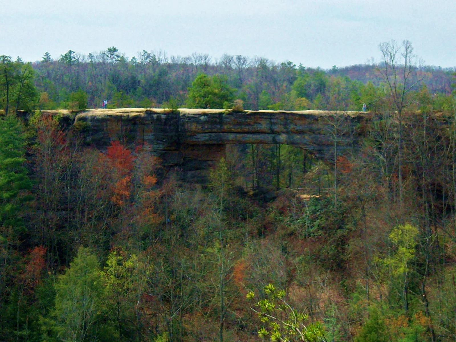
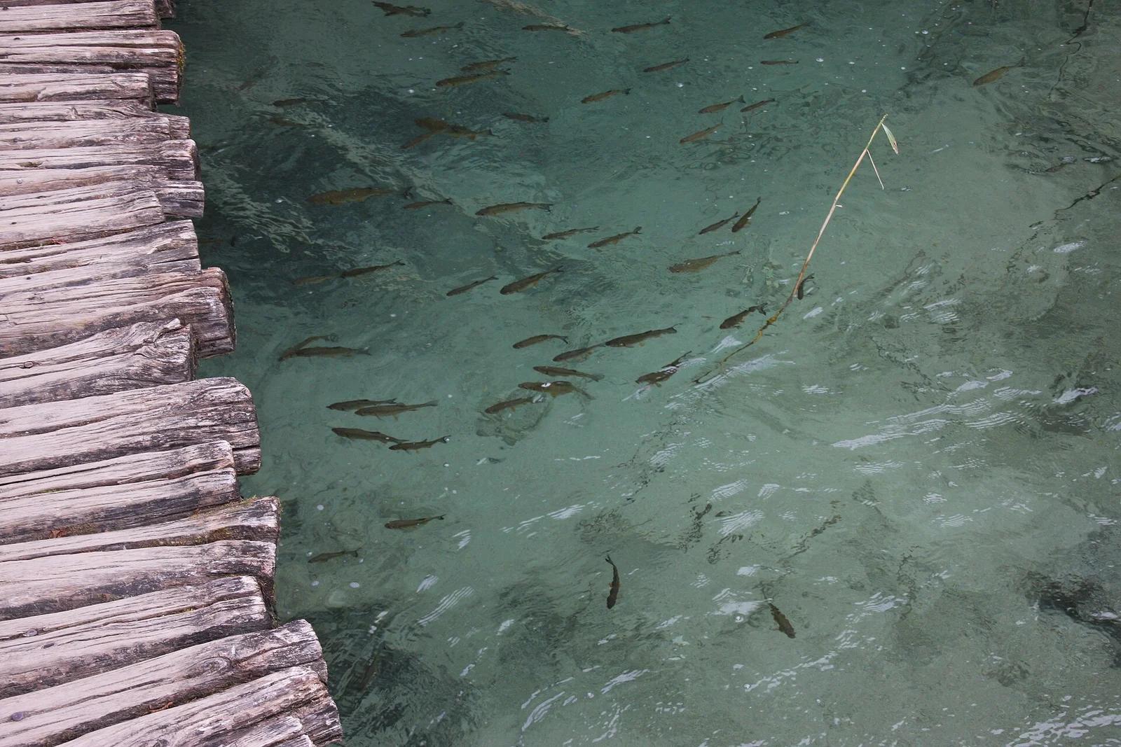
Ha Ha Tonka State Park · Midwest & Great Lakes · Missouri
Turquoise Ozark karst spring, sinkholes, natural bridge, and stone castle ruins perched 250 feet above the Lake of the Ozarks.
Photo: Paul Knittel from St. Louis, United States · CC BY 2.0

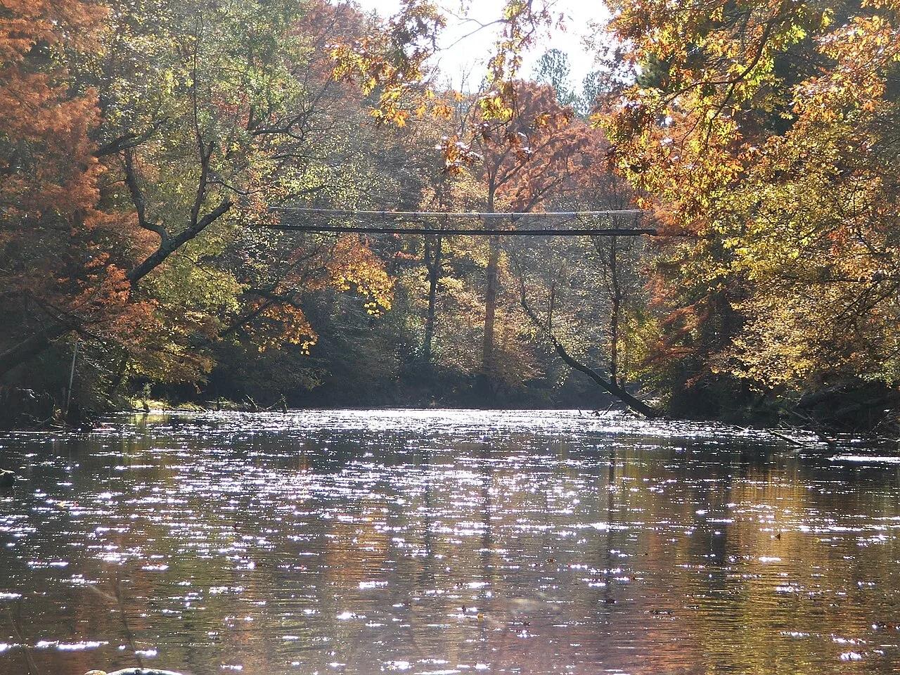
Jean Lafitte National Historical Park and Preserve · South & Gulf Coast · Louisiana
Cypress-tupelo swamp boardwalks and bayou paddling trails teeming with alligators, ibis, and Spanish moss just south of New Orleans.
Photo: Bart Everson · CC BY 2.0

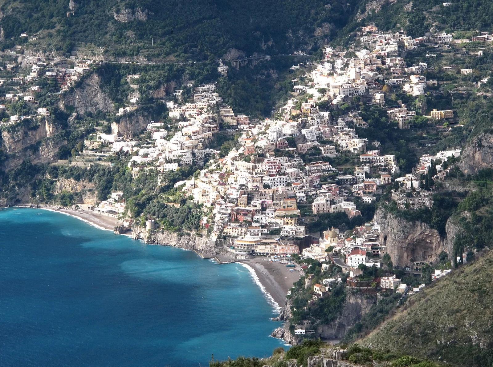
Amalfi Coast Protected Area · Mediterranean & Iberia · Italy
Breathtaking high cliff path carved into the Lattari Mountains, giving sweeping bird's-eye views over Positano, the Gulf of Salerno, and Capri.
Photo: Gilbert Bochenek · CC BY-SA 3.0

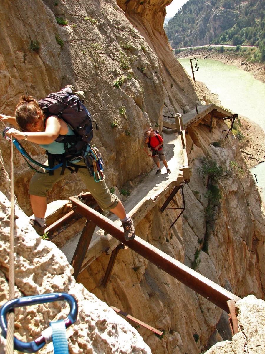
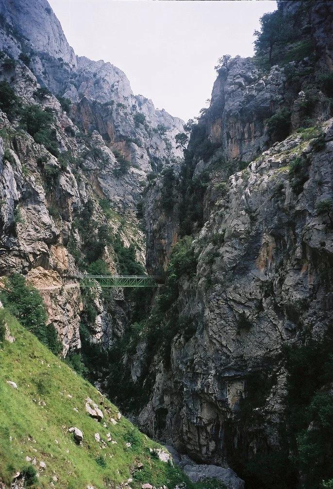
Desfiladero de los Gaitanes Natural Area · Mediterranean & Iberia · Spain
Aerial boardwalk pinned 100 metres above the churning Guadalhorce River through a razor-thin limestone gorge, concluding on a thrilling suspension bridge.
Photo: User Gabirulo on Flickr · CC BY-SA 2.0

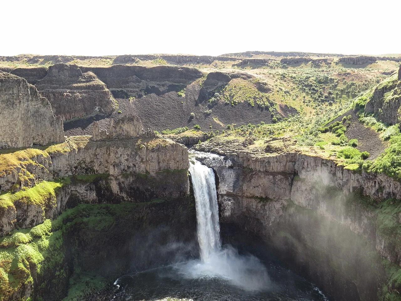
Palouse Falls State Park (LaCrosse) · Pacific Northwest · Washington
Washington's official state waterfall—a 198-foot cataract plunging into a circular Missoula Floods columnar basalt amphitheater.
Photo: Mcjenkins · CC BY-SA 4.0

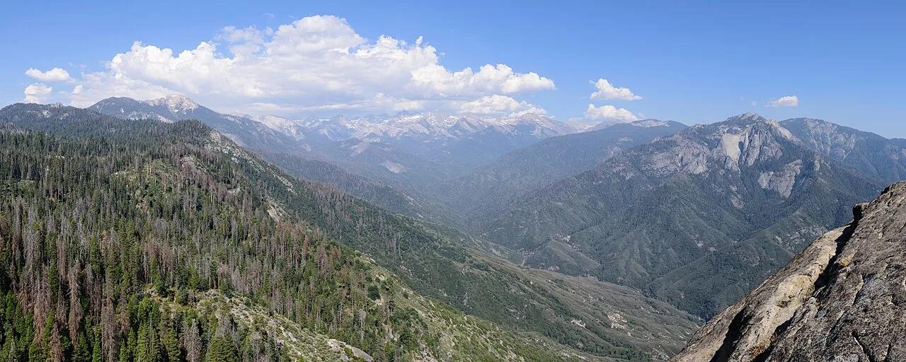
Sequoia National Park · Southern Sierra
350 stone-carved steps ascending a monolithic granite fin above the Kaweah River gorge, paired with giant sequoia groves around General Sherman.
Photo: King of Hearts · CC BY-SA 4.0

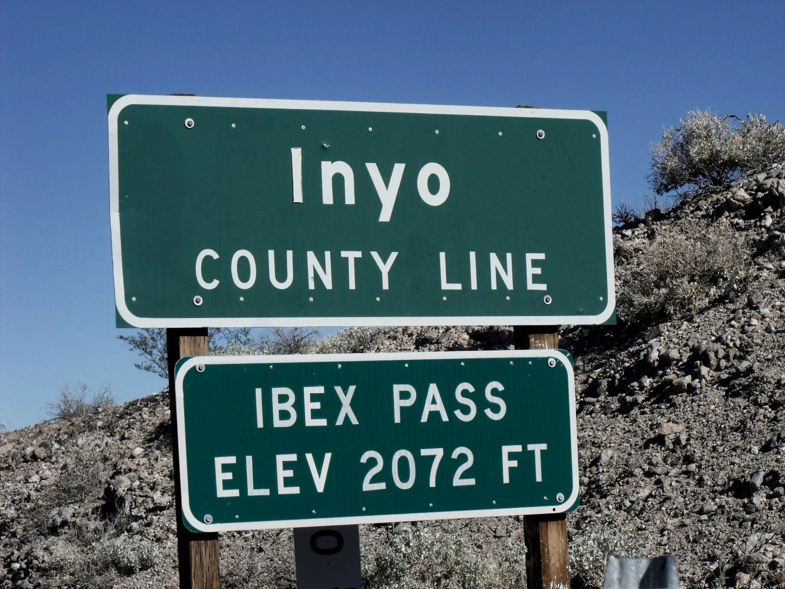
Eastern Sierra
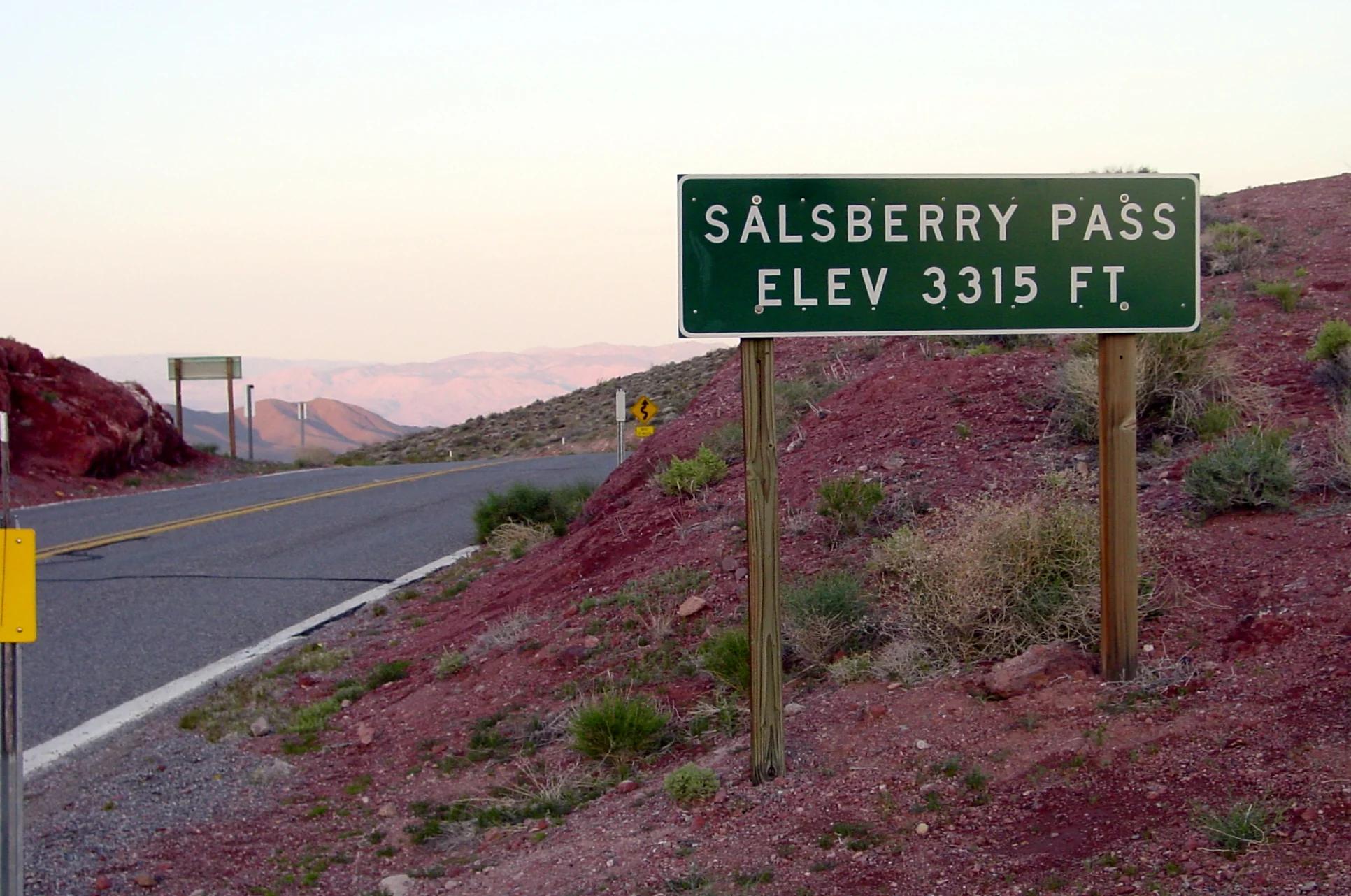
Verified California saddle at 2,072 ft in Eastern Sierra.
Photo: Scottthezombie ( talk ) · CC BY-SA 3.0

Acadia National Park · New England & Adirondacks · Maine
Traces pink granite coastal headlands from Sand Beach past the booming sea-surge of Thunder Hole to Otter Cliff.
Photo: w:User:Michael180 (User:ThePlaz on Commons) · CC BY-SA 2.5

Samaria National Park · Mediterranean & Iberia · Greece
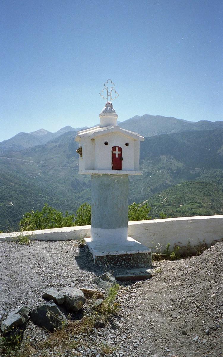
Europe's longest limestone canyon, descending from the Omalos plateau through the famous 'Iron Gates' pinch to the Libyan Sea at Agia Roumeli.
Photo: Robert Linsdell from St. Andrews, Canada · CC BY 2.0

Dry Tortugas National Park (70 Miles West of Key West) · Atlantic & Gulf Coasts · Florida
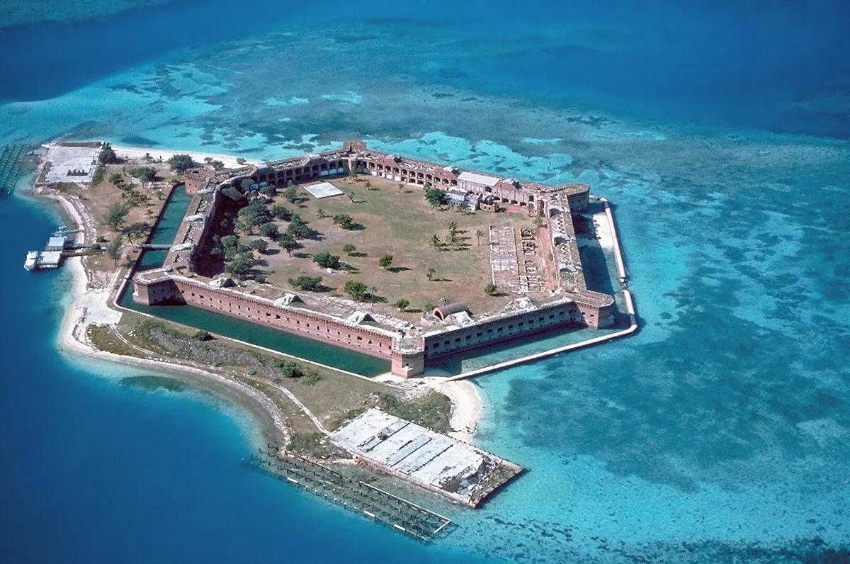
Remote coral atoll and turquoise snorkeling moat encircling 19th-century Fort Jefferson in the Gulf of Mexico.
Photo: U.S. National Park Service · Public domain

Craters of the Moon National Monument and Preserve · Rocky Mountains · Idaho
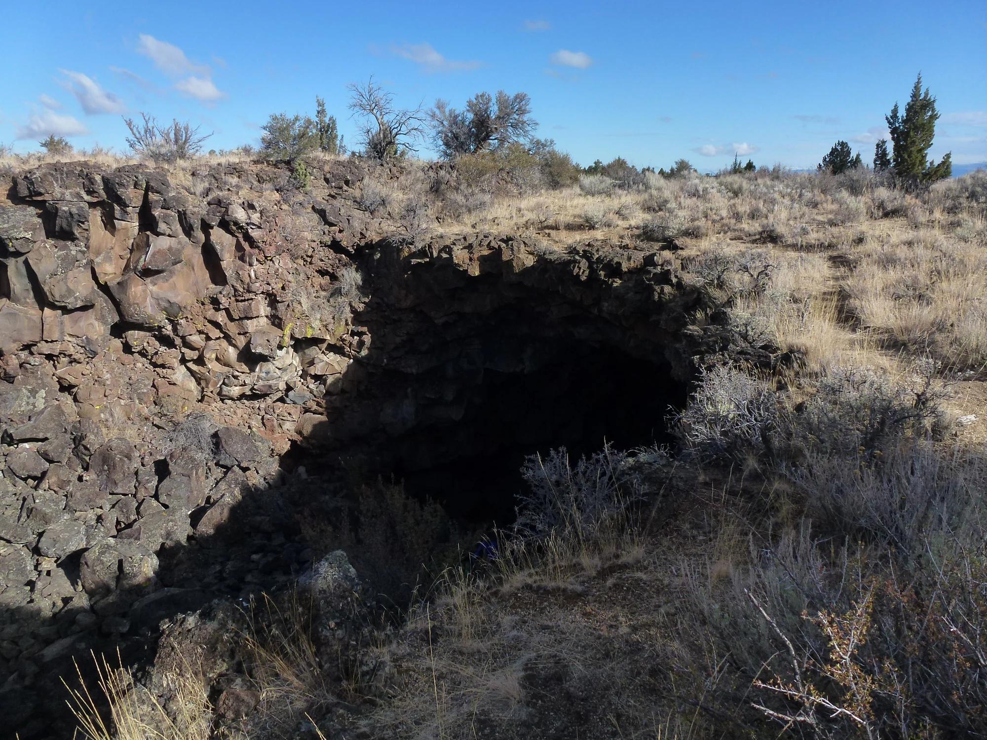
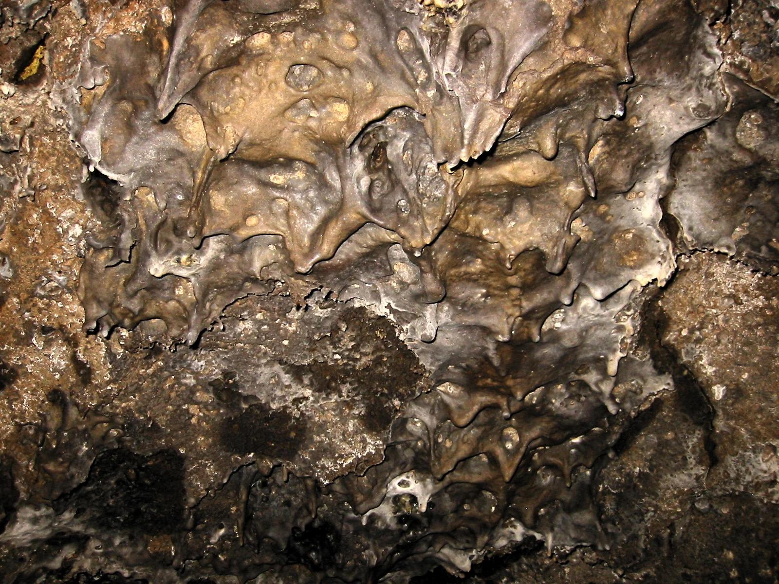
Vast ocean of Holocene pahoehoe and a'a basalt lava flows, cinder cones, spatter cones, and walk-in lava tubes.
Photo: AndrewKPepper · CC BY-SA 4.0