Peak
Eldorado National Forest · Lake Tahoe & Northern Sierra
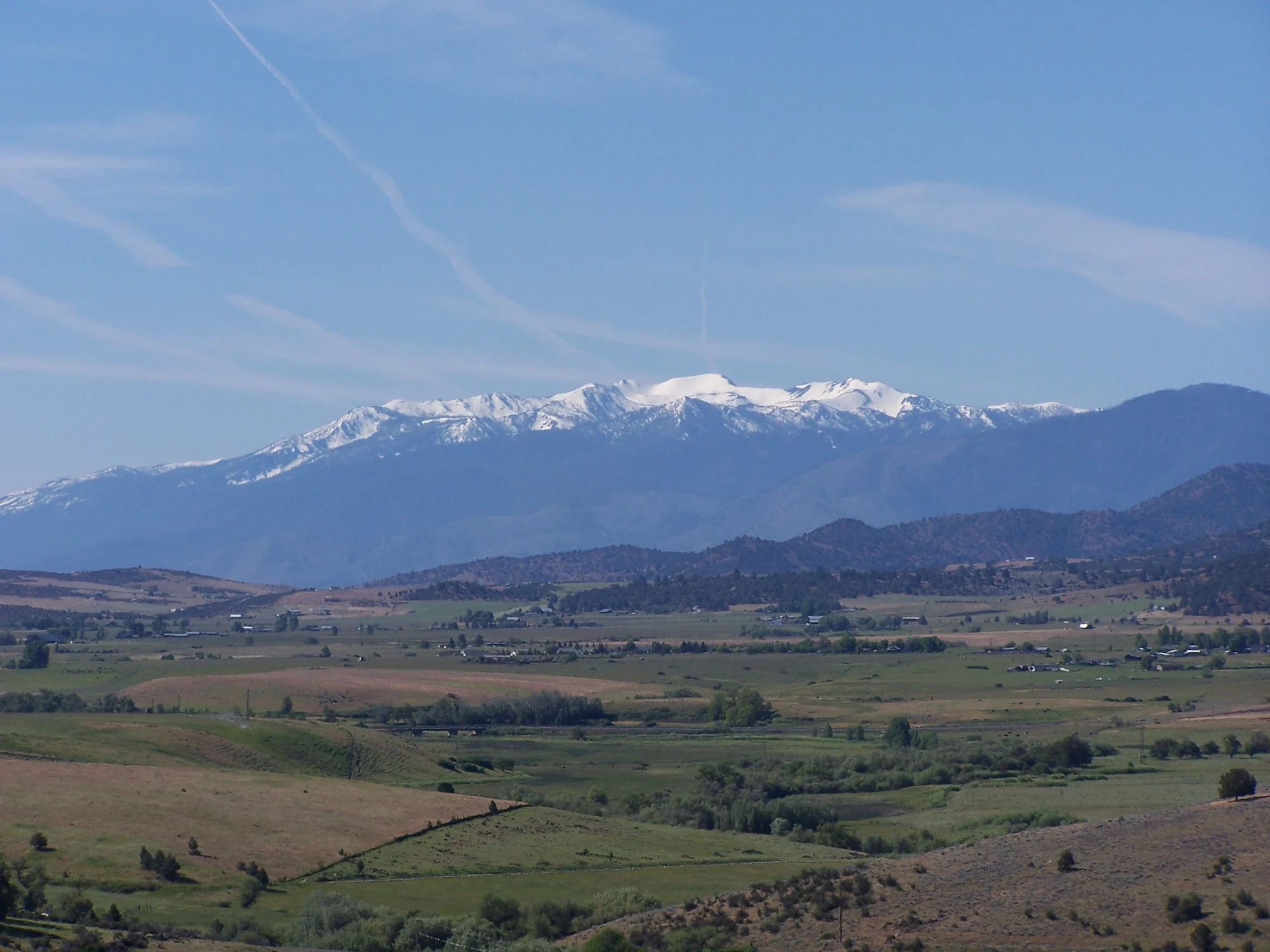
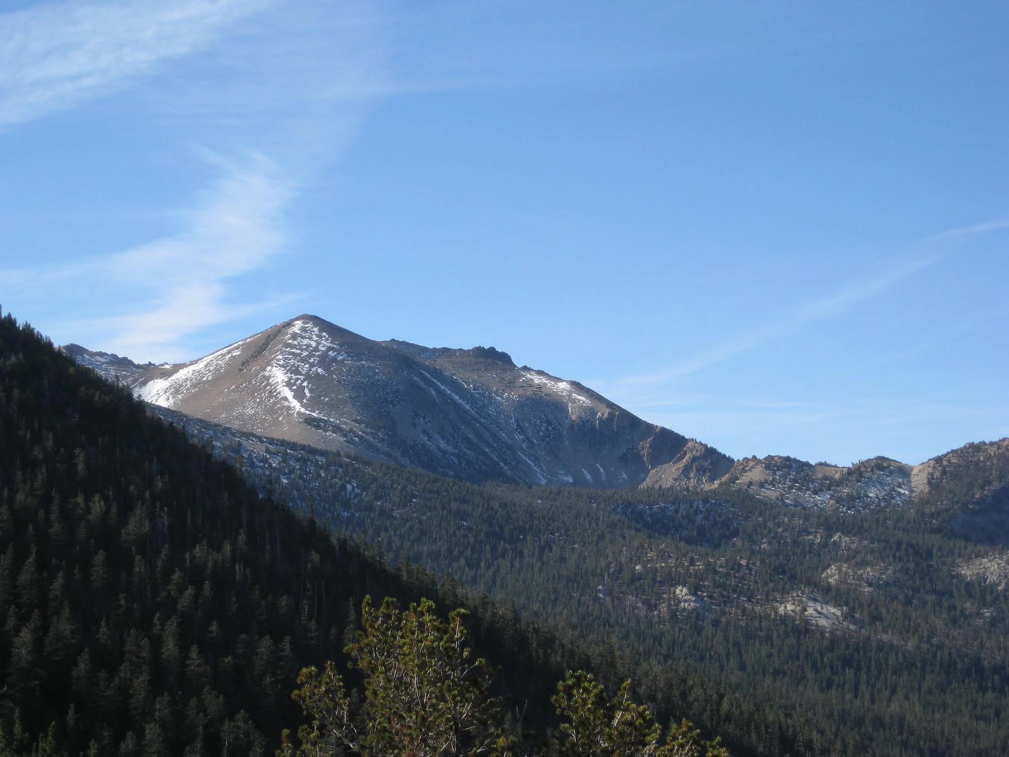
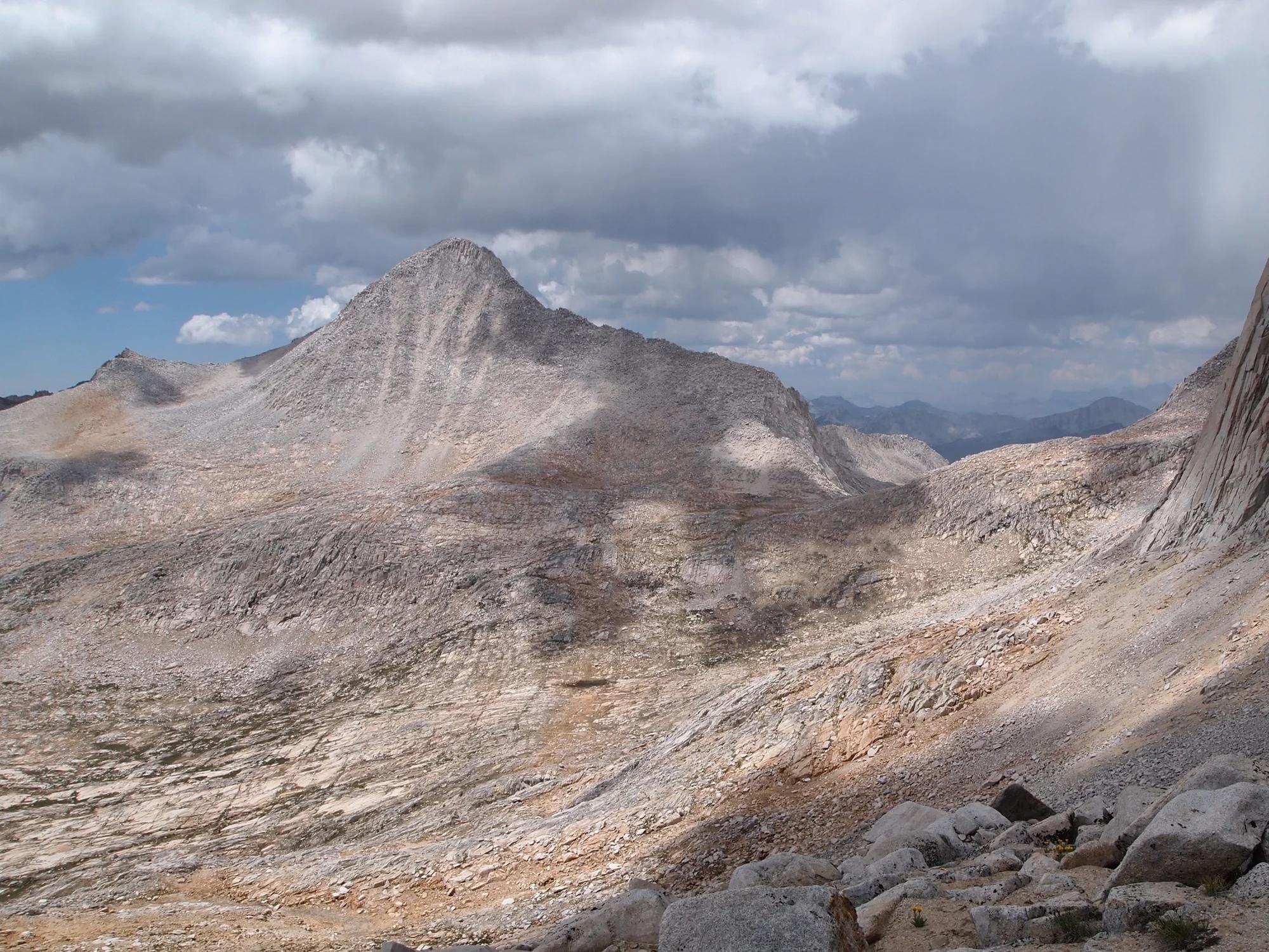
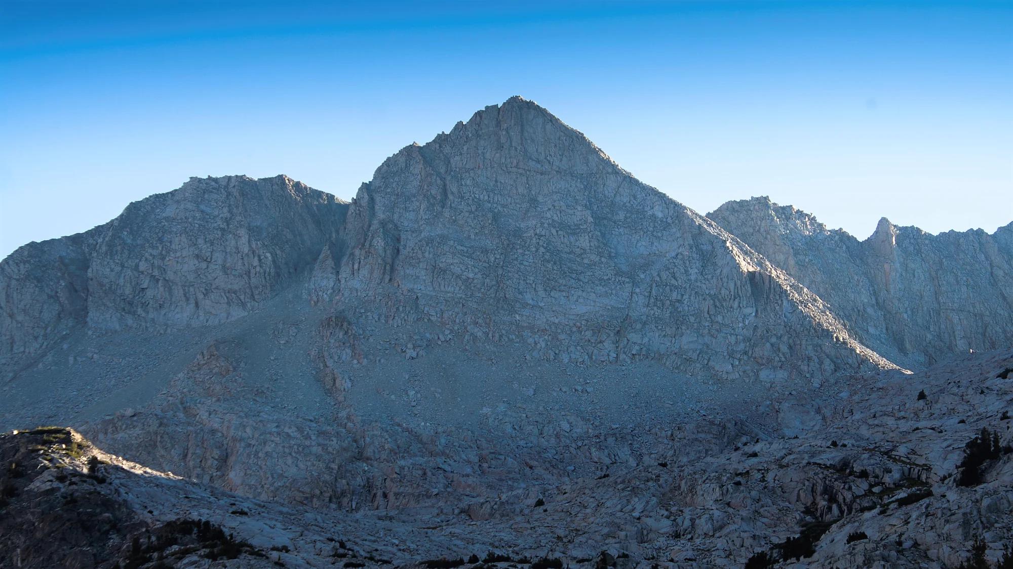
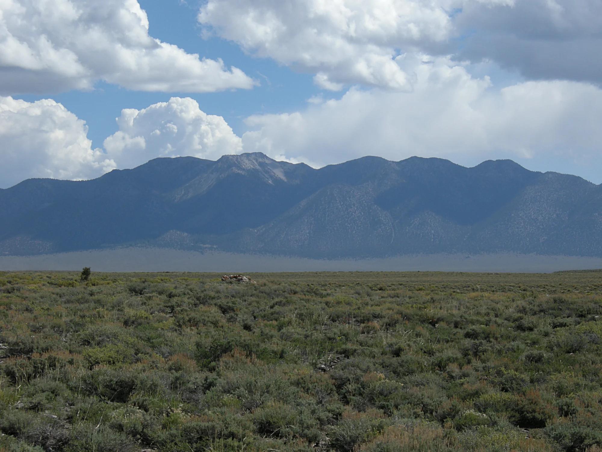
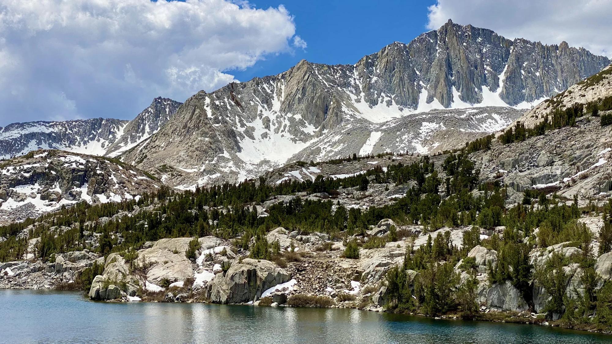
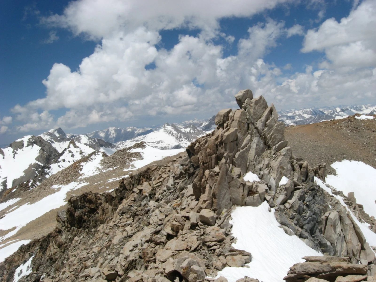
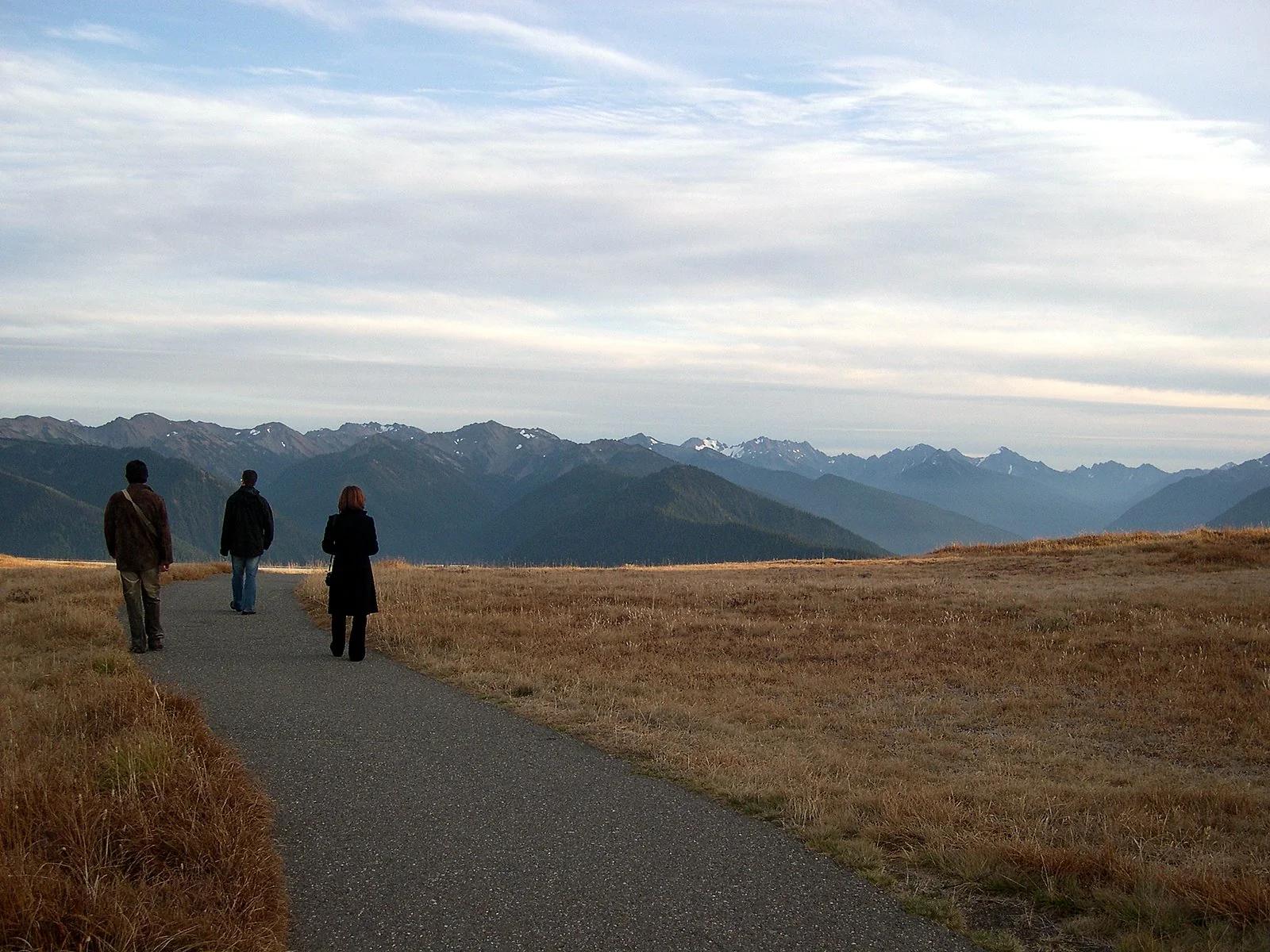
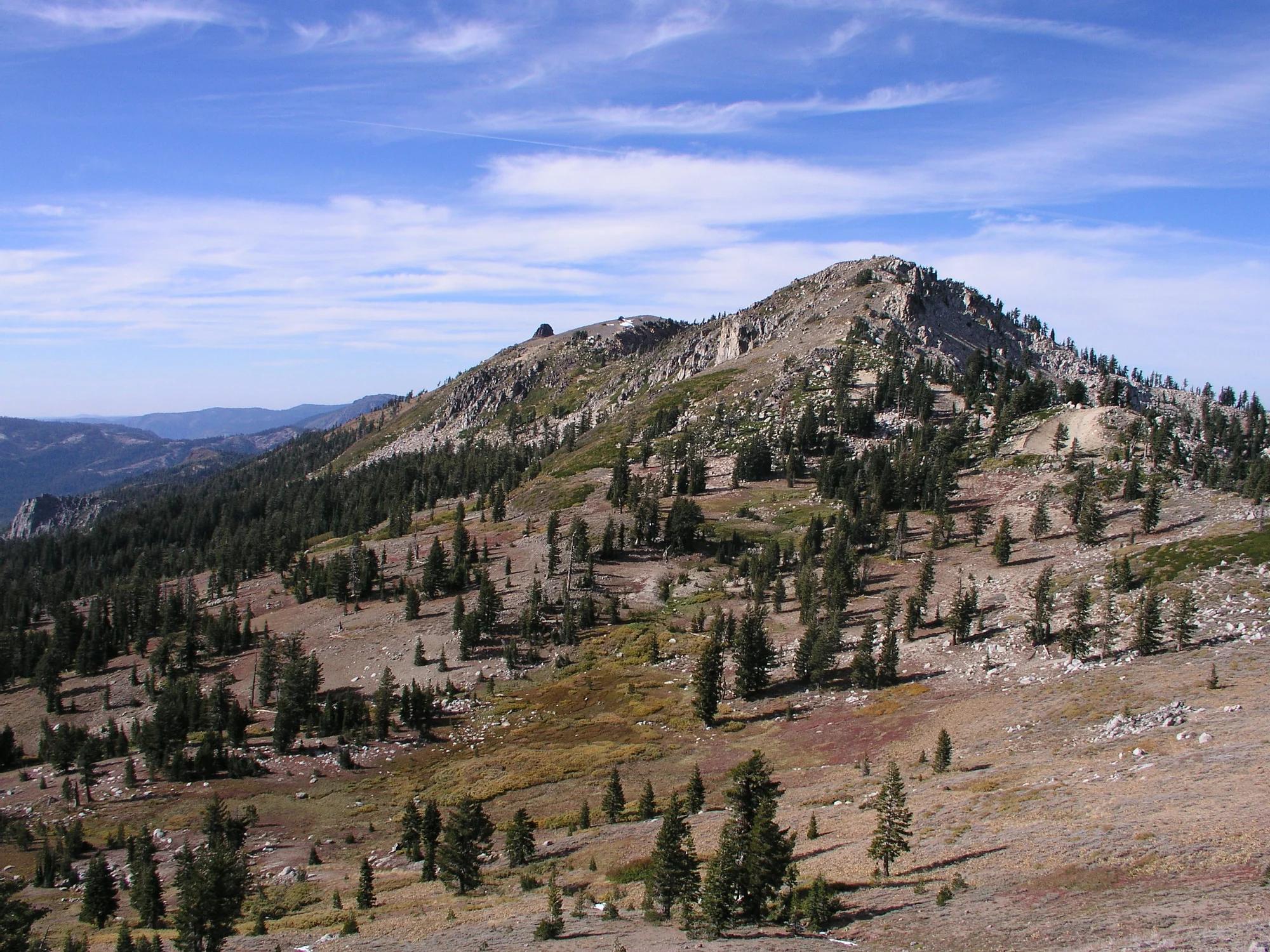
Echo Peak
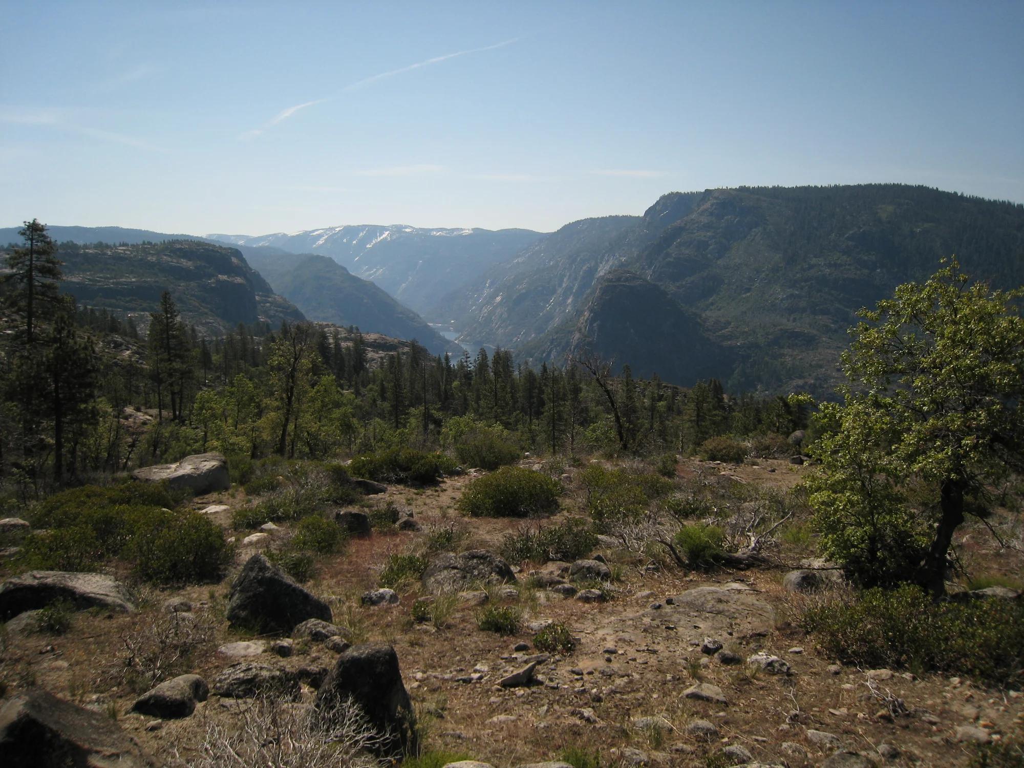
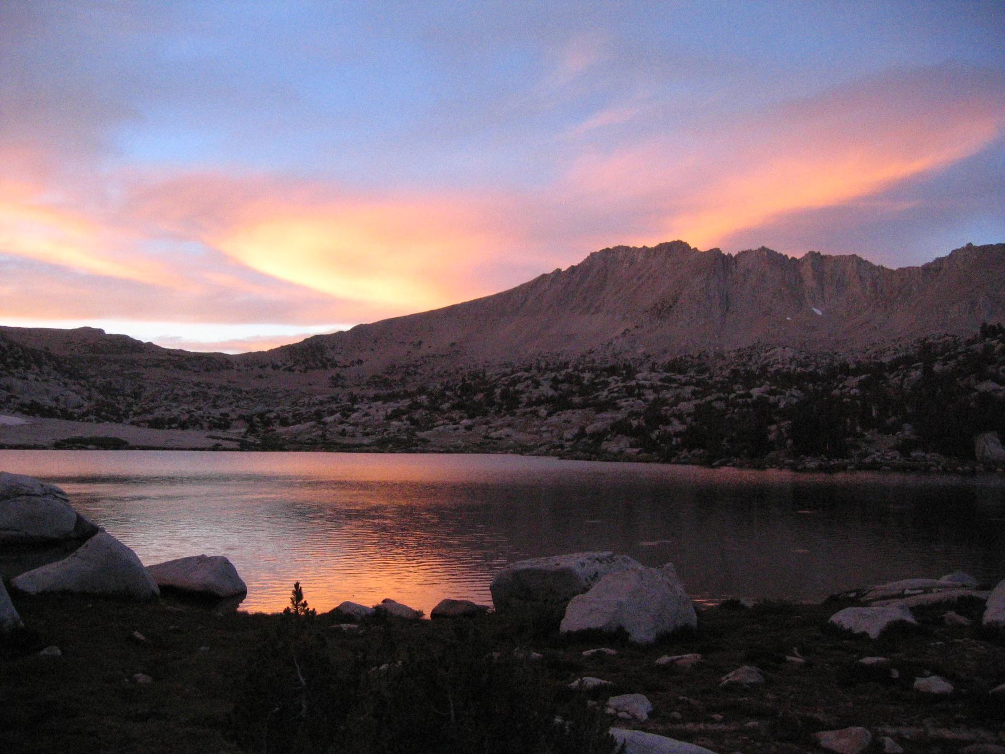
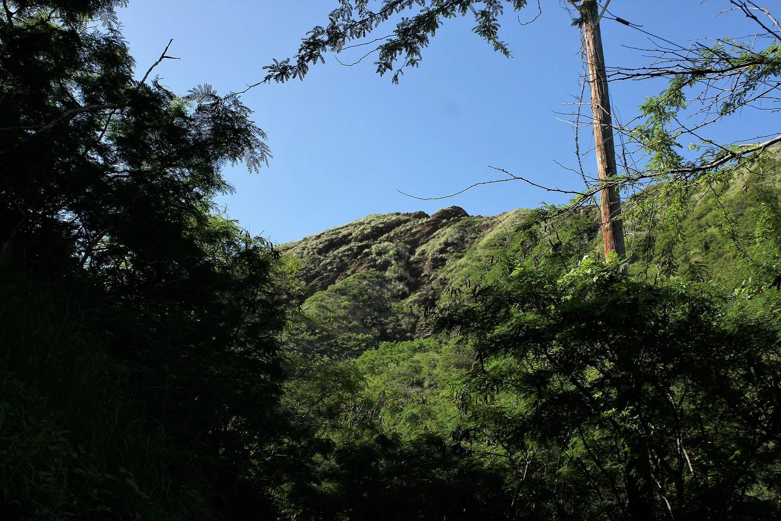
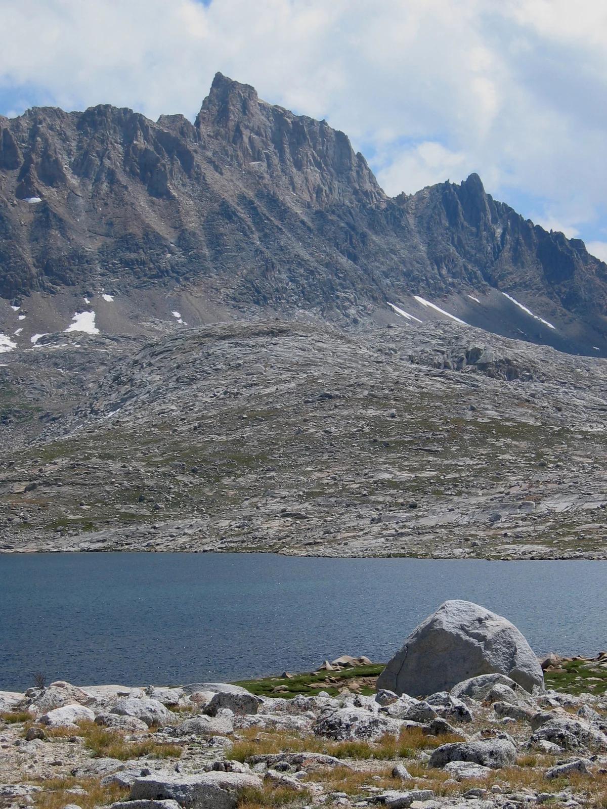
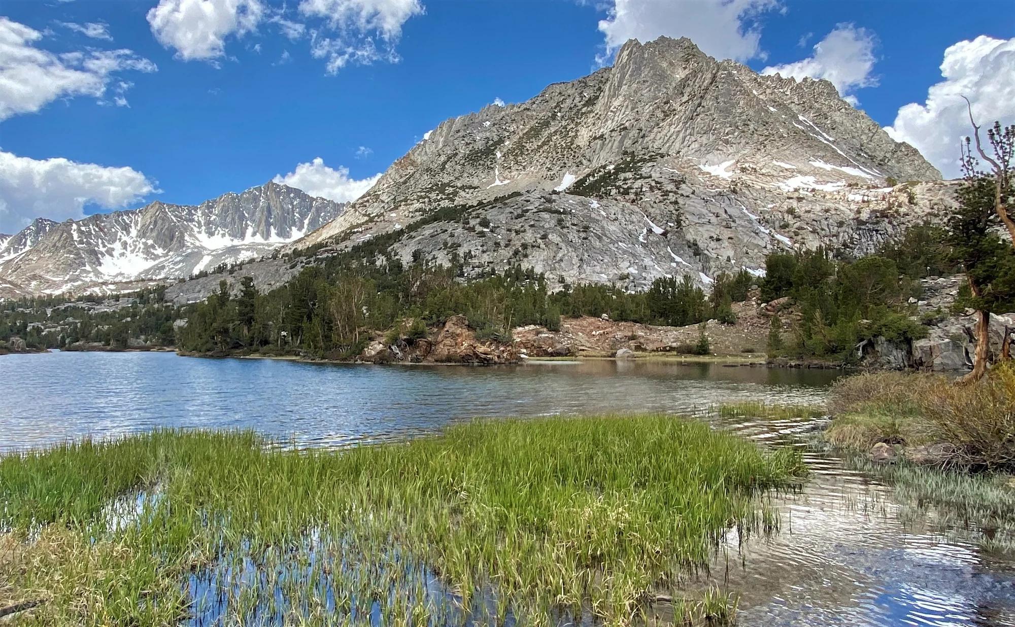
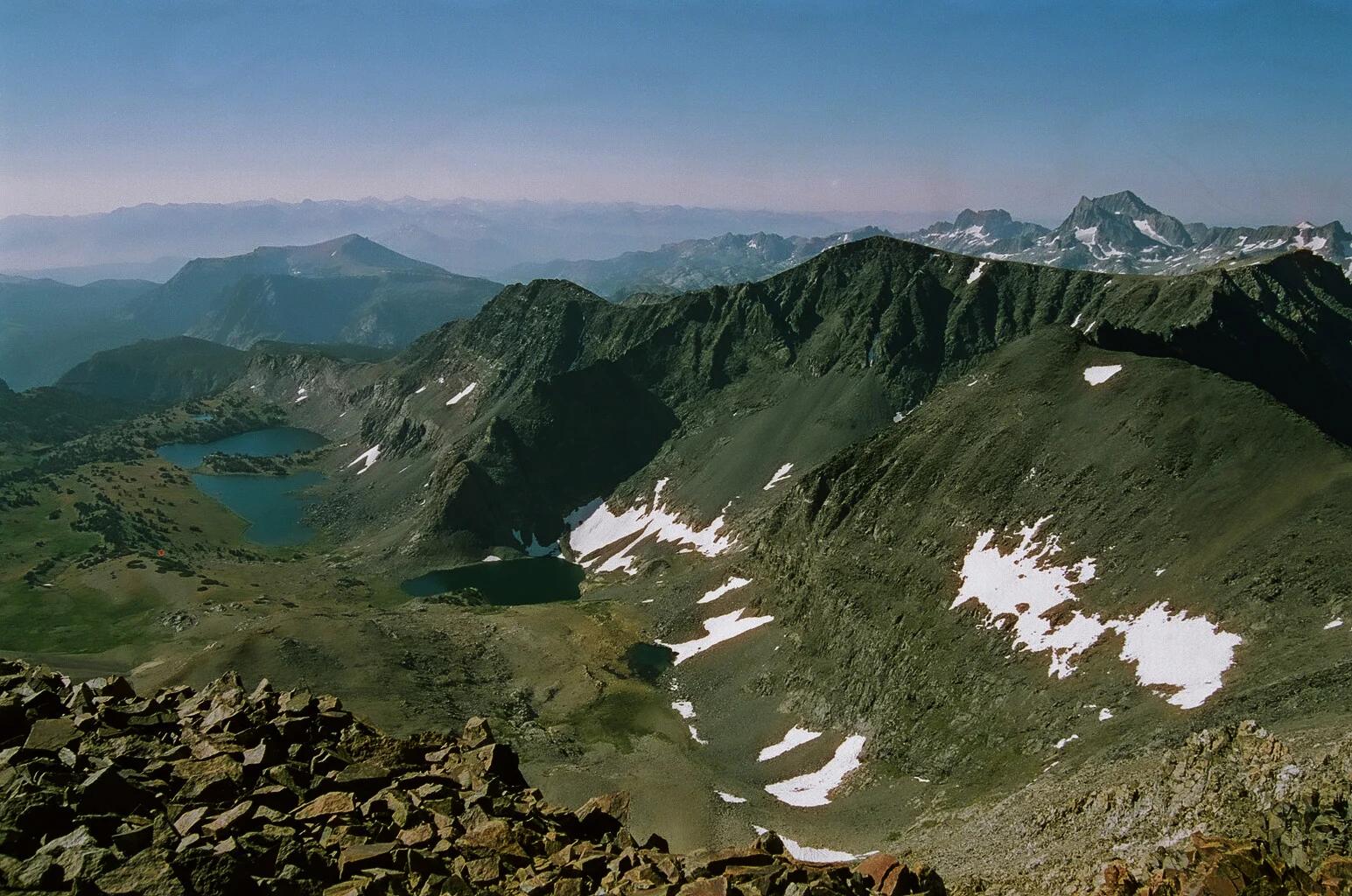
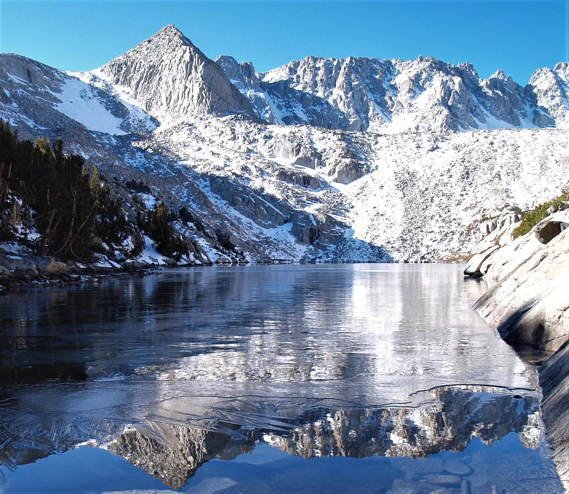
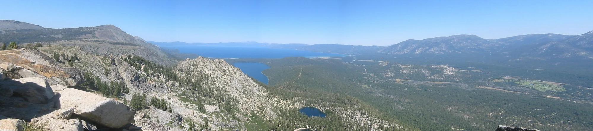
Verified California peak at 8,852 ft in Eldorado National Forest (Lake Tahoe & Northern Sierra).
- Route
- 2.9 mi
- Climb
- 361 ft
Browse & Discover
Canyon trails, waterfall walks, ridge traverses and high peaks.
1,330 of 2,051 places
Drag to pan. Double-click, pinch or scroll to zoom. Keyboard: arrow keys and +/−. Cards below remain available.
Loading map… Browse the spot cards below at any time.

Joshua Tree National Park
A granite arch in the White Tank monzogranite, reached by a short sandy trail from the Twin Tanks parking area.
John D. from Pasadena, USA · CC BY 2.0. Source & image licence

Russian Ridge Open Space Preserve
The highest named summit in San Mateo County, an open grassland top on Russian Ridge with views from the ocean to the Bay.
Justin Dolske from Cupertino, USA · CC BY-SA 2.0. Source & image licence

Eaton Canyon Natural Area
The waterfall at the head of lower Eaton Canyon, reached by a wide wash walk from the Eaton Canyon Nature Center and a final creekside scramble.
[scott.medling or en:user:scott.medling user:scott.medling from California, United States] · CC BY-SA 2.0. Source & image licence

Escondido Canyon Park
A multi-tiered waterfall in Escondido Canyon above Malibu. The maintained trail ends at the base of the mossy lower tier.
Santa Monica Mountains National Recreation Area · Public domain. Source & image licence

Inyo National Forest
A chain of small alpine lakes at the head of Little Lakes Valley in the John Muir Wilderness, below the 13,000-foot peaks of the Bear Creek Spire cirque.
Jane S. Richardson (talk · contribs) · CC BY-SA 3.0. Source & image licence

Mount Tamalpais Watershed
A winter-and-spring cascade on Cataract Creek just below the Laurel Dell picnic area, reached downhill along the Cataract Trail from Rock Spring.
Richard Wood · CC BY-SA 3.0. Source & image licence

Angeles National Forest
A waterfall of about fifty feet filling the head of a narrow, shaded canyon, a short walk upstream from Millard Campground.
Region 5 Photography · Public domain. Source & image licence

Mission Peak Regional Preserve
The bare grassland summit above Fremont, marked by the Mission Peeker sighting pole and climbed by the Hidden Valley Trail from Stanford Avenue.
Oleg Alexandrov · CC BY-SA 3.0. Source & image licence

Angeles National Forest
The highest summit of the San Gabriel Mountains, reached from Baldy Notch along the exposed Devils Backbone ridge.
Darkest tree · CC BY-SA 4.0. Source & image licence

Mount Tamalpais State Park
The summit of Mount Tamalpais, a short plank-and-rock climb from the East Peak visitor area to the fire lookout above the whole Bay Area.
Chris Koerner from St. Louis, USA · CC BY-SA 2.0. Source & image licence

Inyo National Forest
A quiet lake in the Ansel Adams Wilderness beneath Parker Peak, reached through sage and an aspen-lined creek canyon off the June Lake Loop.
Mark Gunn from Novato, California, USA · CC BY 2.0. Source & image licence

Pfeiffer Big Sur State Park
A 60-foot waterfall on Pfeiffer-Redwood Creek, reached through the redwoods of Pfeiffer Big Sur State Park on a trail twice rebuilt — after the 2008 Basin Complex Fire and again after 2023 storm damage.
Joe Mabel · CC BY-SA 4.0. Source & image licence
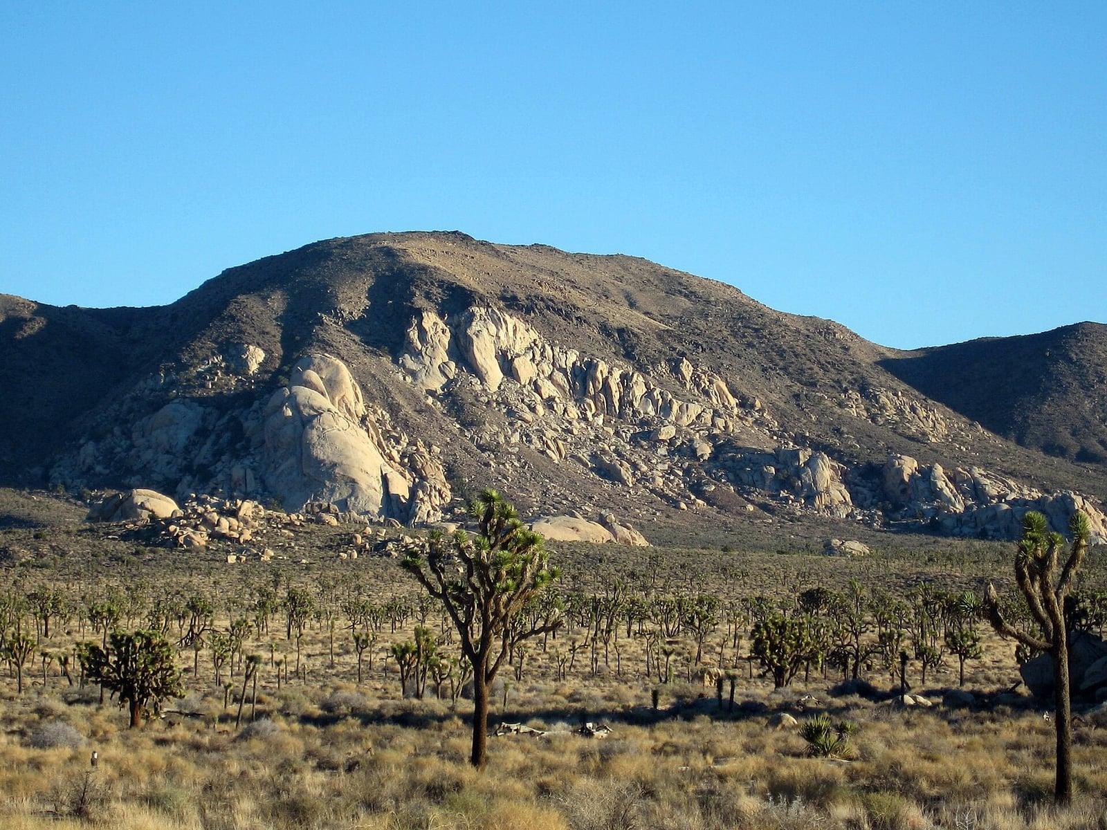
Joshua Tree National Park
A signed summit trail in Joshua Tree National Park, climbing from Park Boulevard to Ryan Mountain.
Robb Hannawacker / National Park Service · Public domain. Source & image licence

Santa Monica Mountains National Recreation Area
The highest point in the Santa Monica Mountains, climbed from the Mishe Mokwa trailhead along the Backbone Trail at Circle X Ranch.
Wasquewhat · CC BY-SA 4.0. Source & image licence

Angeles National Forest
A 50-foot single drop into a shallow plunge pool, 1.7 mi up Big Santa Anita Canyon. Shaded the entire way in. The work is all on the walk out.
U.S. Department of Agriculture / USDA USFS · CC BY 2.0. Source & image licence
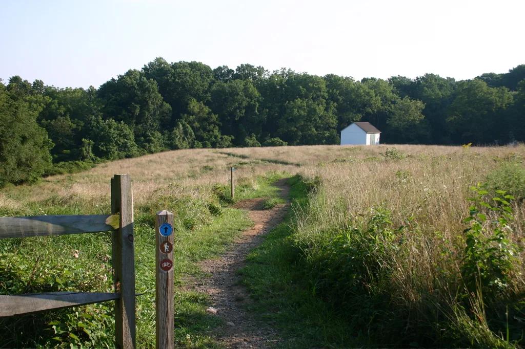
White Clay Creek State Park · Piedmont / New Castle County · Delaware
Piedmont stream valleys and hemlock ravines leading to the historic 1892 stone monument marking the DE-PA-MD boundary point.
Photo: Pixelguru at English Wikipedia · Public domain
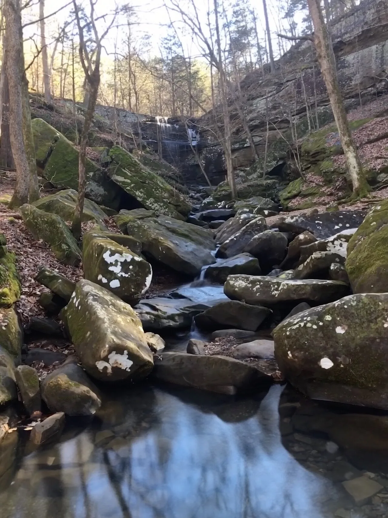
Shawnee National Forest (Burden Falls Wilderness) · Southern Illinois / Shawnee · Illinois
Illinois's largest waterfall complex, dropping over a series of sandstone ledges including an upper 20-foot drop and a thunderous 80-foot gorge plunge.
Photo: Mrostrichman · CC BY-SA 4.0

Backbone State Park (Dundee) · Northeast Iowa · Iowa
Iowa's oldest state park (1919), centering on a dramatic narrow bedrock ridge of Silurian dolomite flanked on three sides by the Maquoketa River loop.
Photo: Kevin Schuchmann · CC BY-SA 3.0
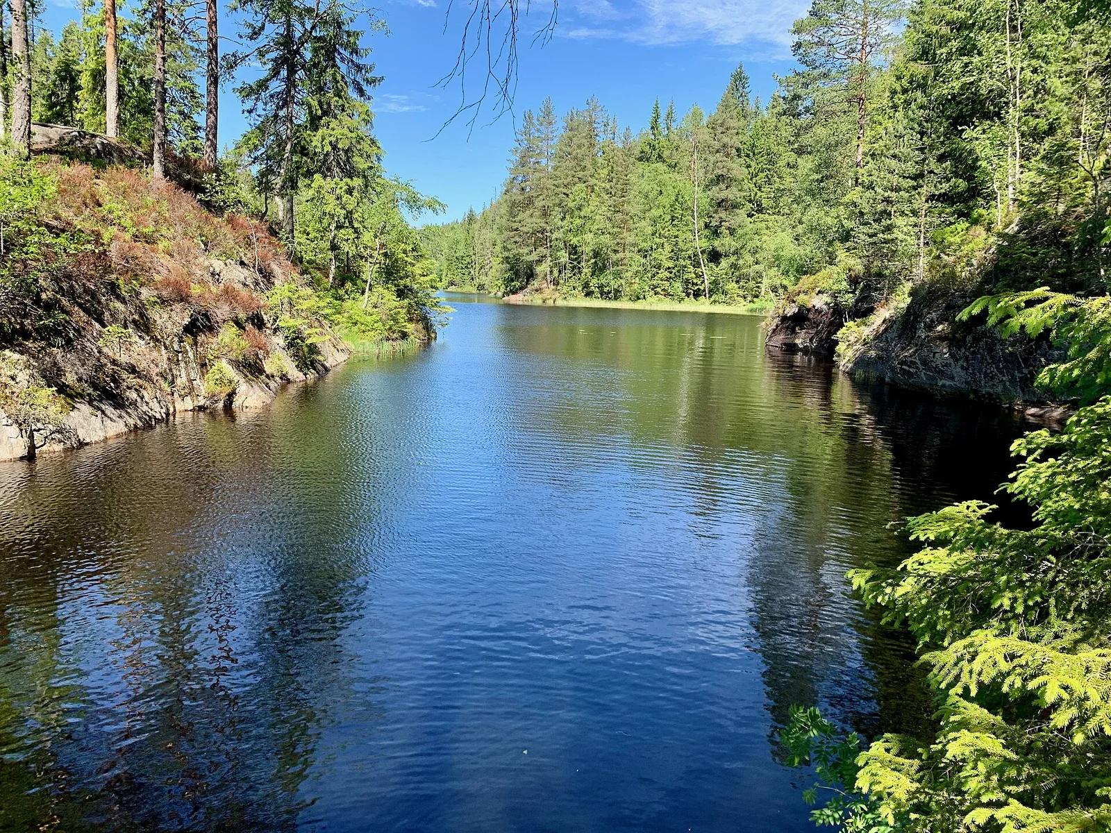
Østmarka Nature Reserve · Nordic & Iceland · Norway
Rated among the top disc golf courses on Earth, carved through majestic Norwegian spruce forests, rolling fairways, and rugged granite outcroppings in Østmarka.
Photo: Kjetil Ree · CC BY-SA 3.0
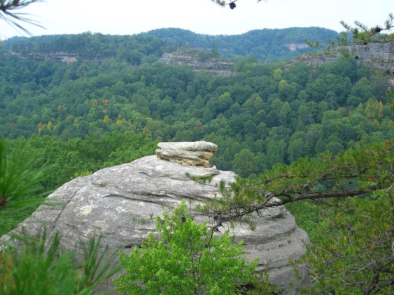
Red River Gorge Geological Area (Daniel Boone NF) · Appalachian & Blue Ridge · Kentucky
Open sandstone knife-edge ridge walk looking across at Raven's Rock, Double Arch, and the isolated monolith of Courthouse Rock.
Photo: Mrherbalwarrior at English Wikipedia · CC BY 3.0
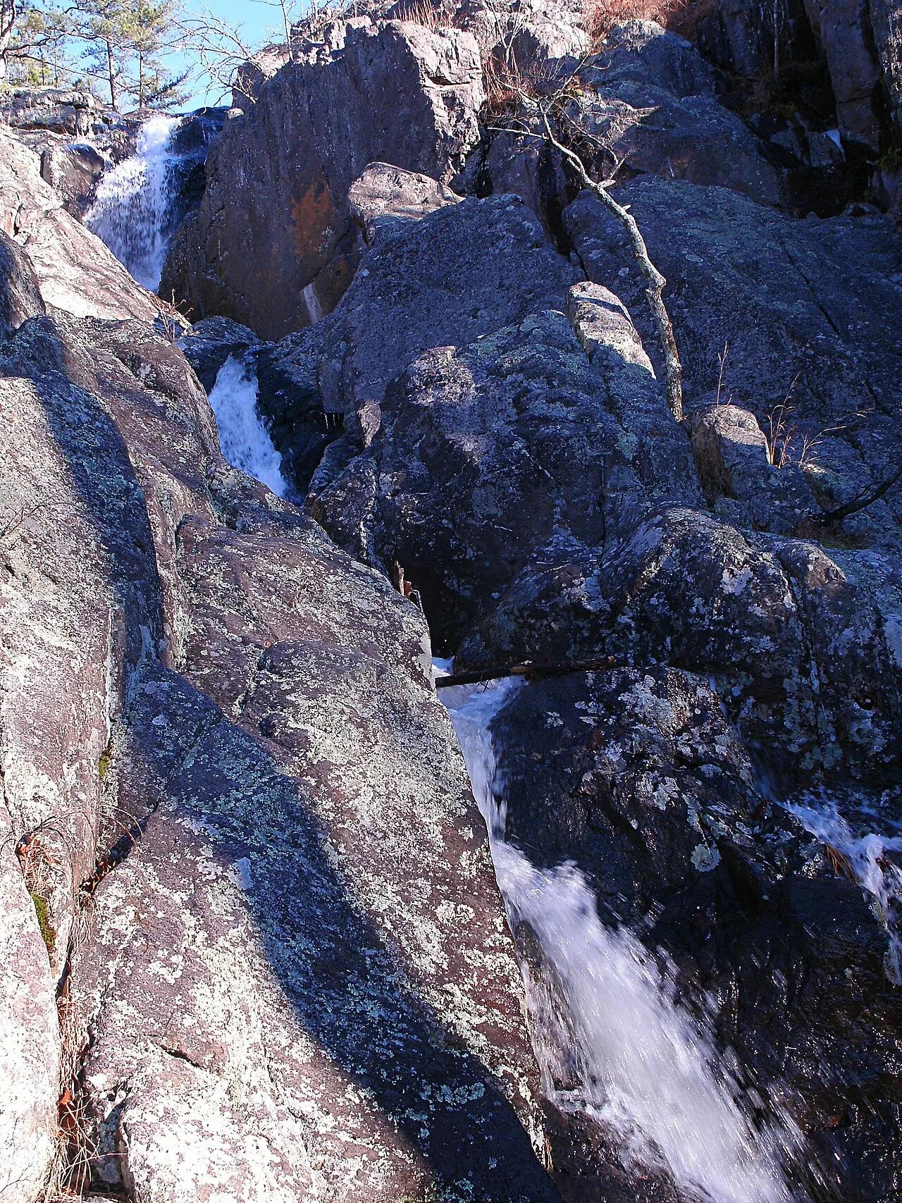
Taum Sauk Mountain State Park · St. Francois Mountains · Missouri
Missouri's highest point (1,772 feet) paired with its tallest wet-weather waterfall, plunging 132 feet over ancient Precambrian volcanic rhyolite ledges.
Photo: Kbh3rd · CC BY-SA 3.0
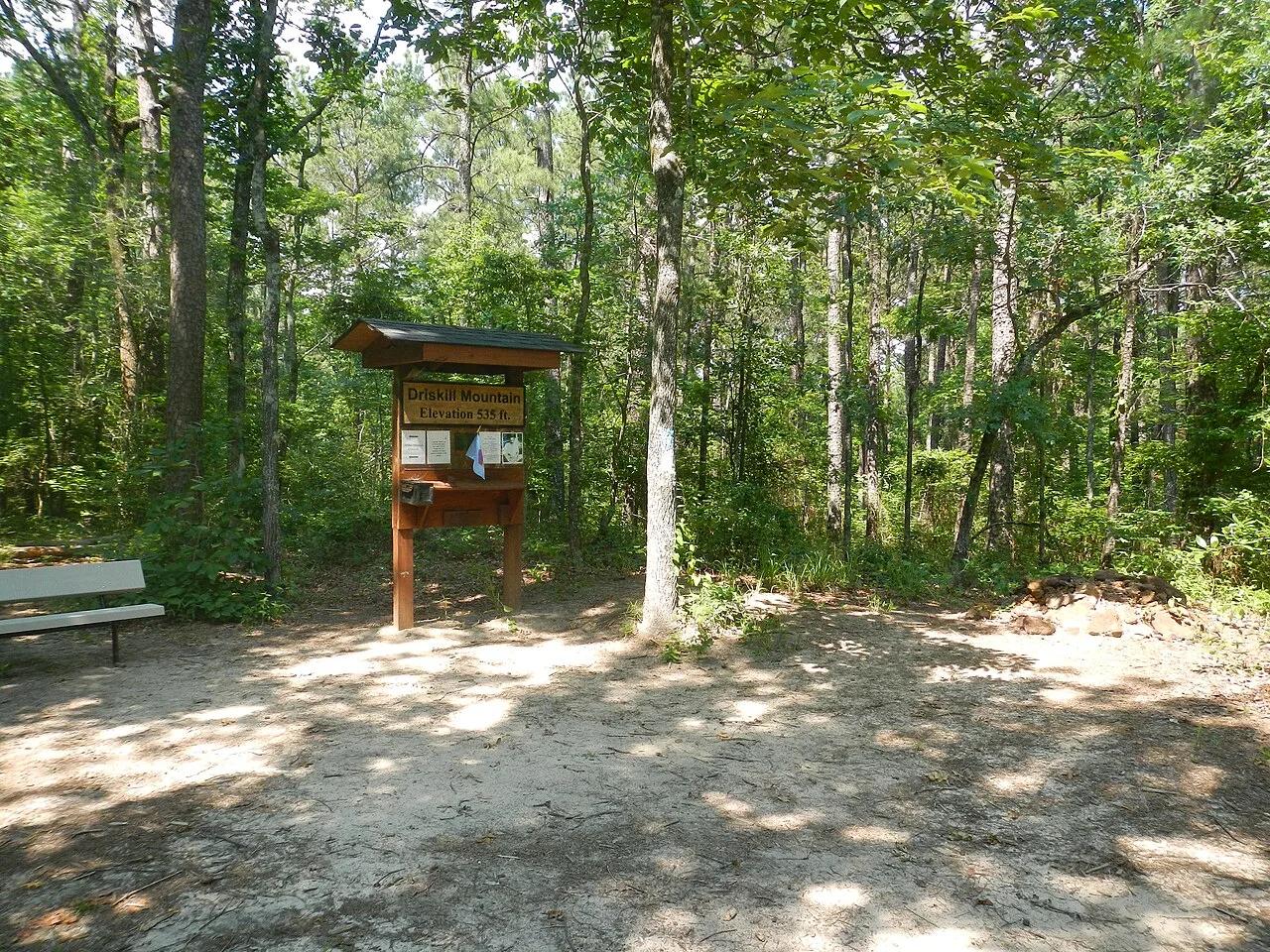
Bienville Parish Rolling Hills (Bryceland) · South & Gulf Coast · Louisiana
Highest natural elevation in Louisiana (535 ft)—a wooded Eocene ferricrete sandstone ridge ablaze with wild native azaleas in spring.
Photo: Fredlyfish4 · CC BY-SA 3.0
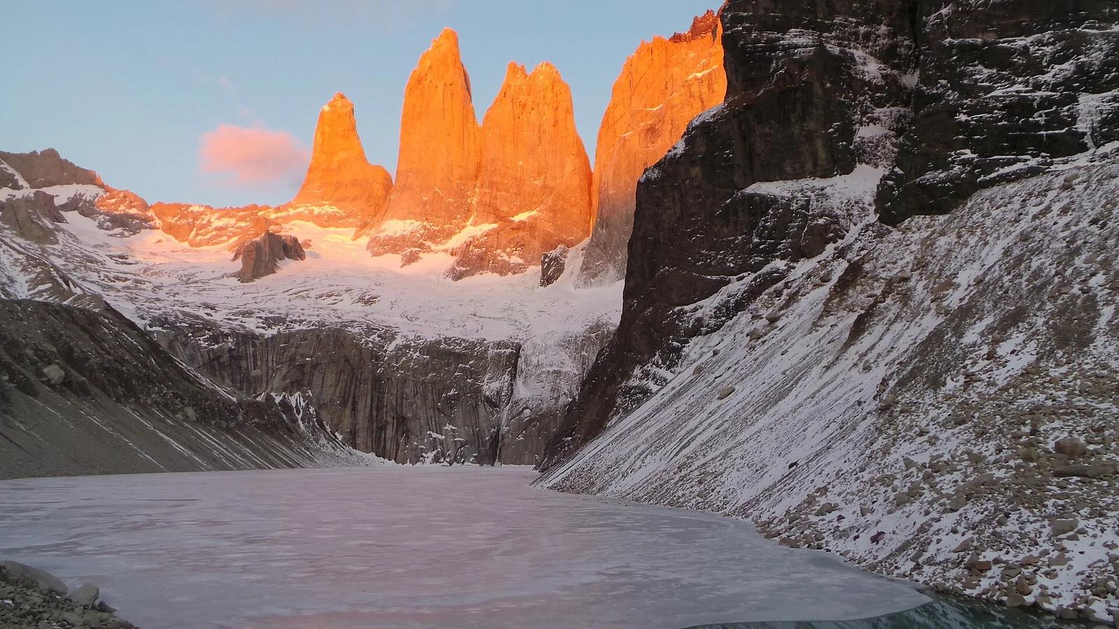
Torres del Paine National Park · Patagonia & Southern Andes · Chile
The crowning trek of Patagonia, climbing past the Ascencio Valley and glacial moraine to a glowing turquoise lake beneath three vertical granite monoliths.
Photo: Luchomunozm · CC BY-SA 4.0
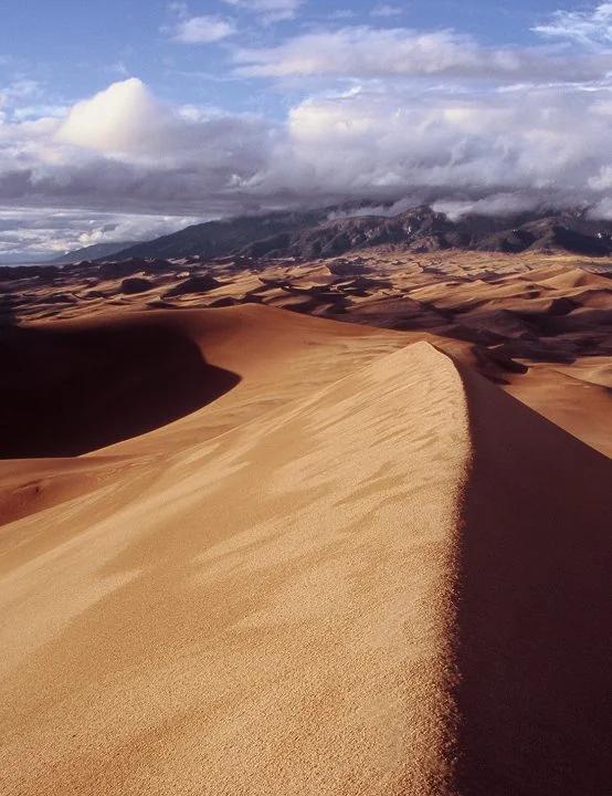
Great Sand Dunes National Park · Colorado & Rocky Mountains · Colorado
Trek across Medano Creek into the tallest sand dunes in North America, rising nearly 750 feet against the Sangre de Cristo Mountains.
Photo: Phil Armitage Landscape Photography · Public domain
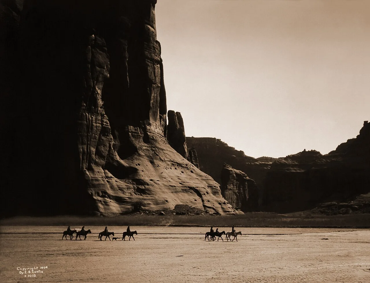
Canyon de Chelly National Monument (Chinle) · Grand Canyon & Northern Arizona · Arizona
800-foot sheer red De Chelly sandstone walls and ancient Ancestral Puebloan cliff dwellings above the cottonwood-lined Chinle Wash.
Photo: Edward S. Curtis · Public domain
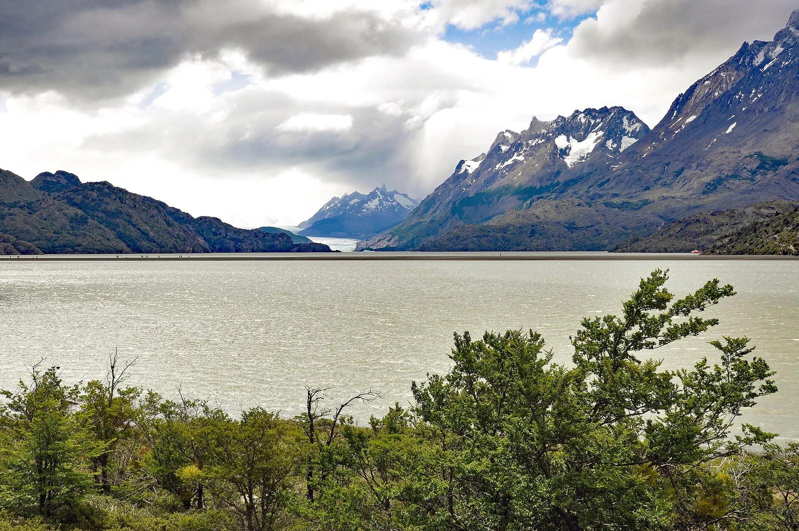
Torres del Paine National Park · Patagonia & Southern Andes · Chile
Colossal tongue of the Southern Patagonian Ice Field calving giant azure icebergs into Lago Grey, traversed by high swaying canyon suspension bridges.
Photo: P. Hughes · CC BY 4.0
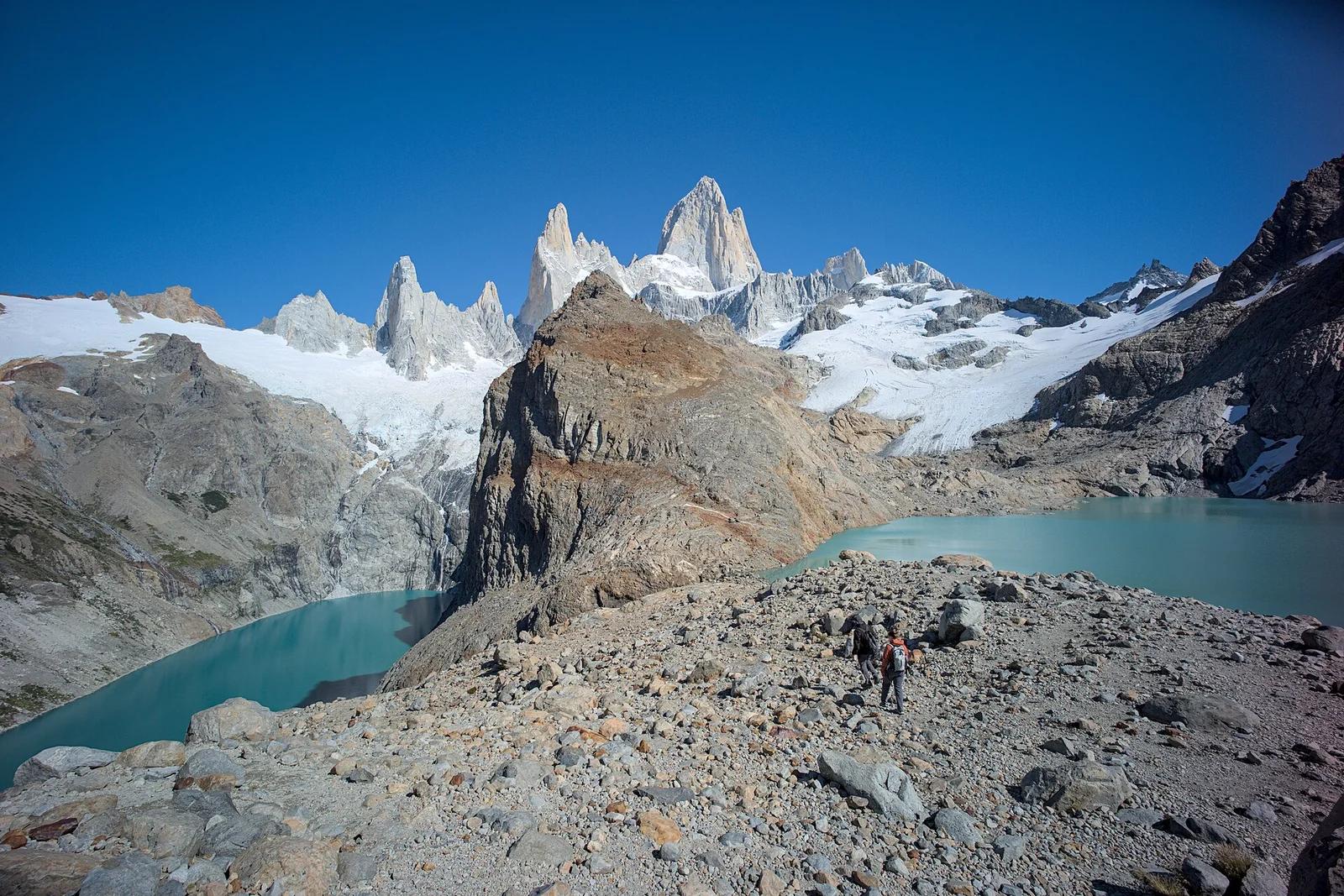
Los Glaciares National Park · Patagonia & Southern Andes · Argentina
The holy grail of Patagonian hiking: an alpine glacial tarn resting at the direct foot of Monte Fitz Roy's fang-like 3,405-metre granite towers.
Photo: Gedankenstuecke · CC BY-SA 4.0
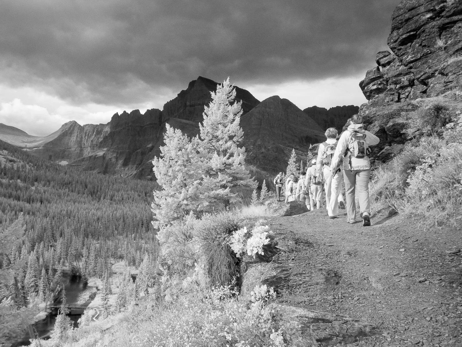
Glacier National Park · Yellowstone, Tetons & Northern Rockies · Montana
Ascends the Many Glacier Valley past emerald lakes to the terminus moraine and floating icebergs of Upper Grinnell Lake.
Photo: Greg Willis from Denver, CO, usa · CC BY-SA 2.0
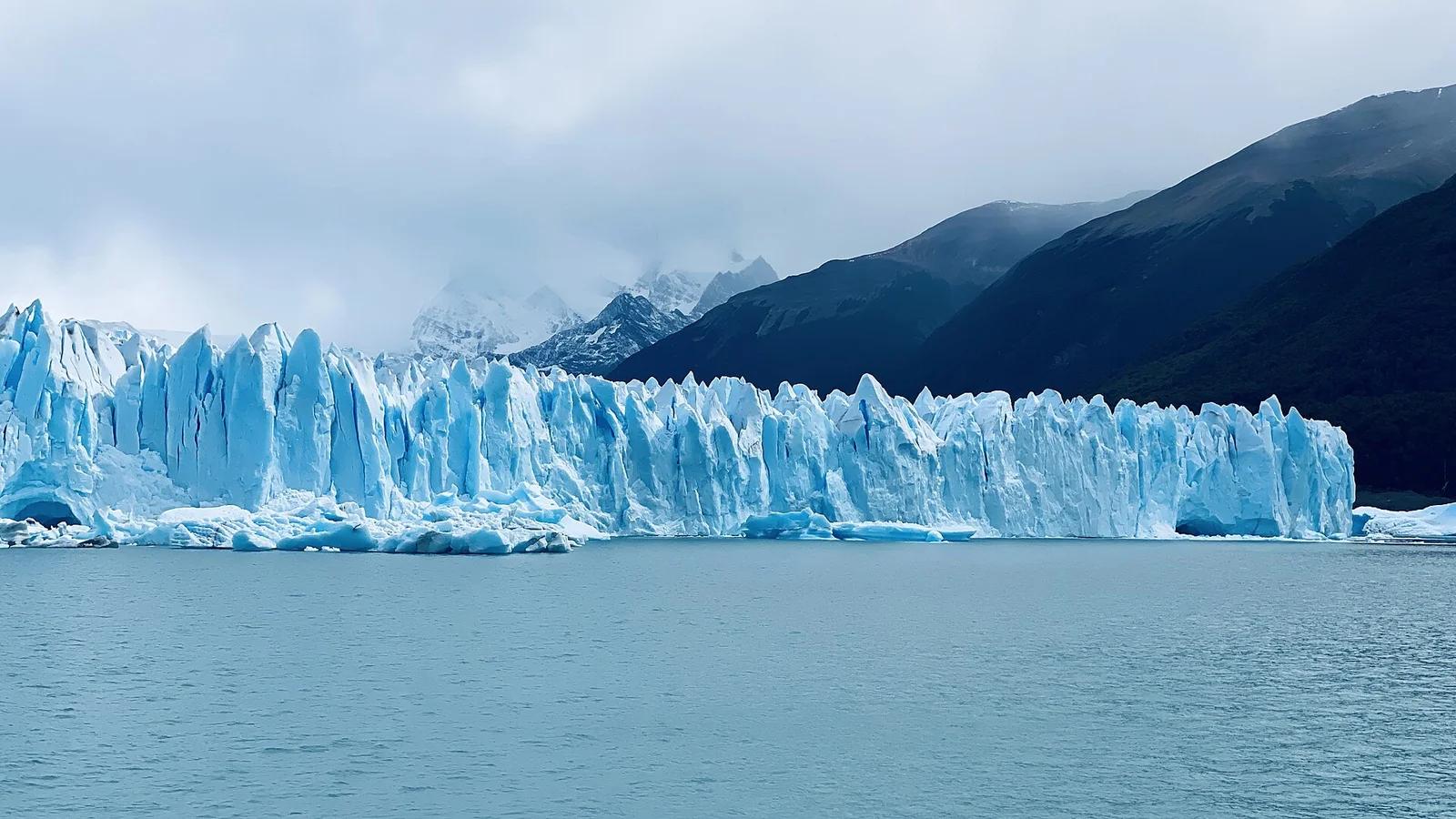
Los Glaciares National Park · Patagonia & Southern Andes · Argentina
A roaring 30-kilometre advancing ice river with a 70-metre front wall, watched from multi-tiered steel catwalks where towering ice seracs crash into Lago Argentino.
Photo: lamblukas · CC BY 2.0
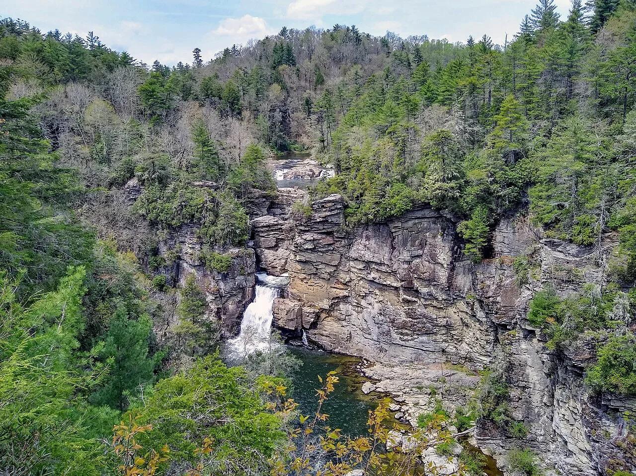
Blue Ridge Parkway / Pisgah National Forest · Appalachian & Blue Ridge · North Carolina
Three-tiered waterfall roaring into the 2,000-foot-deep Linville Gorge—the 'Grand Canyon of the Southern Appalachians.'
Photo: P. Hughes · CC BY-SA 4.0