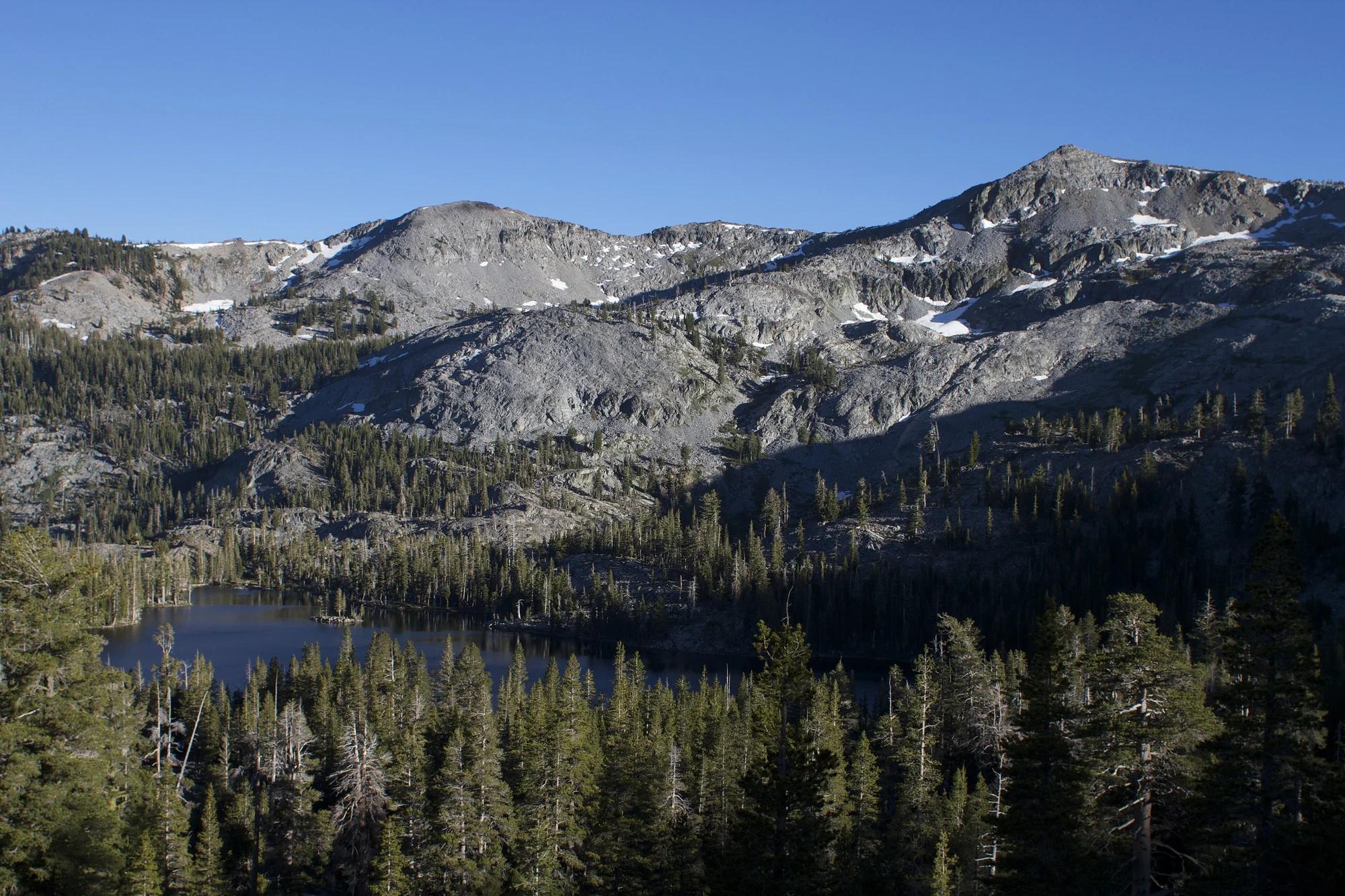
Peak
Eldorado National Forest · Lake Tahoe & Northern Sierra
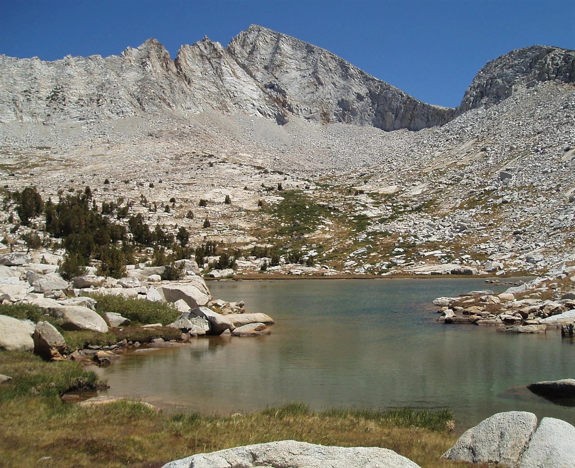
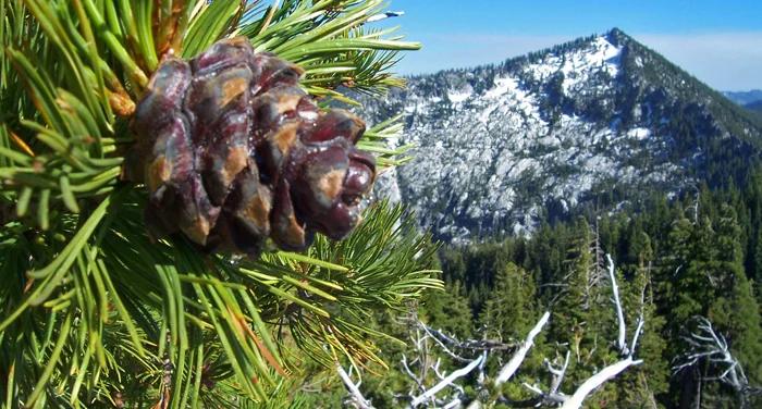
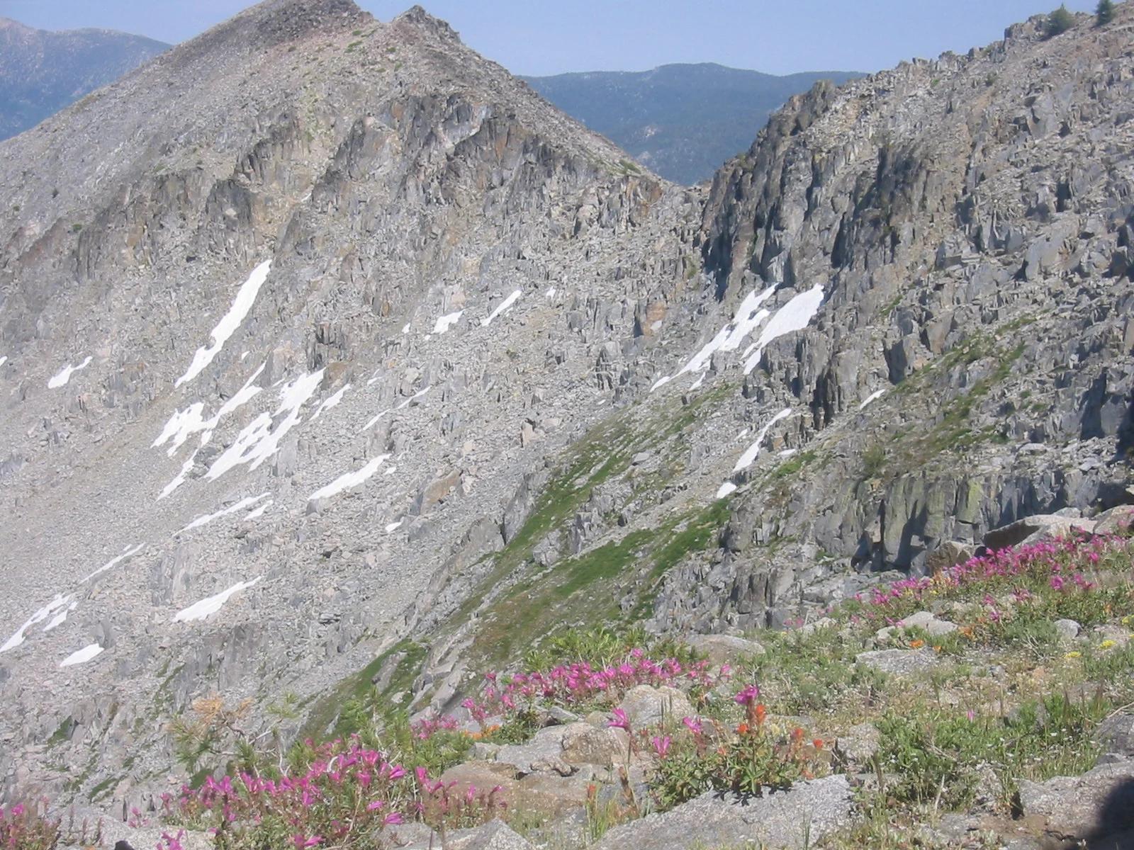
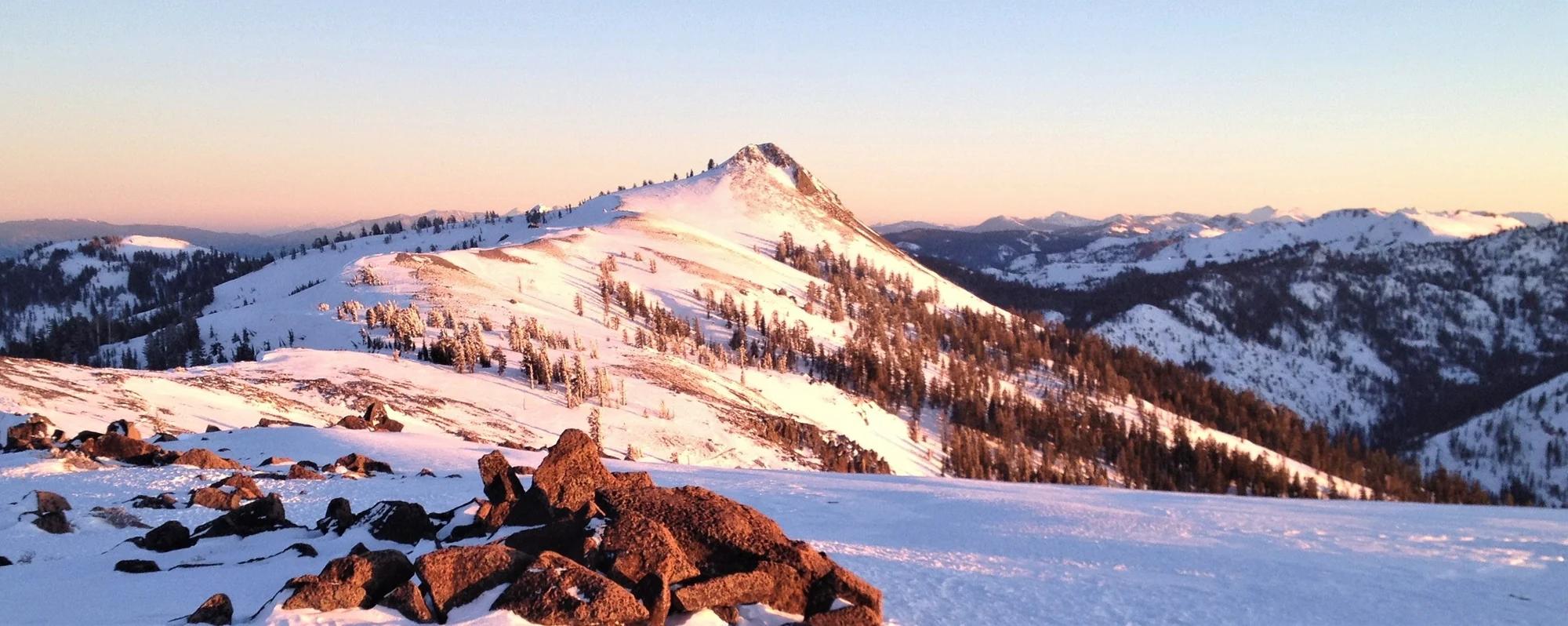
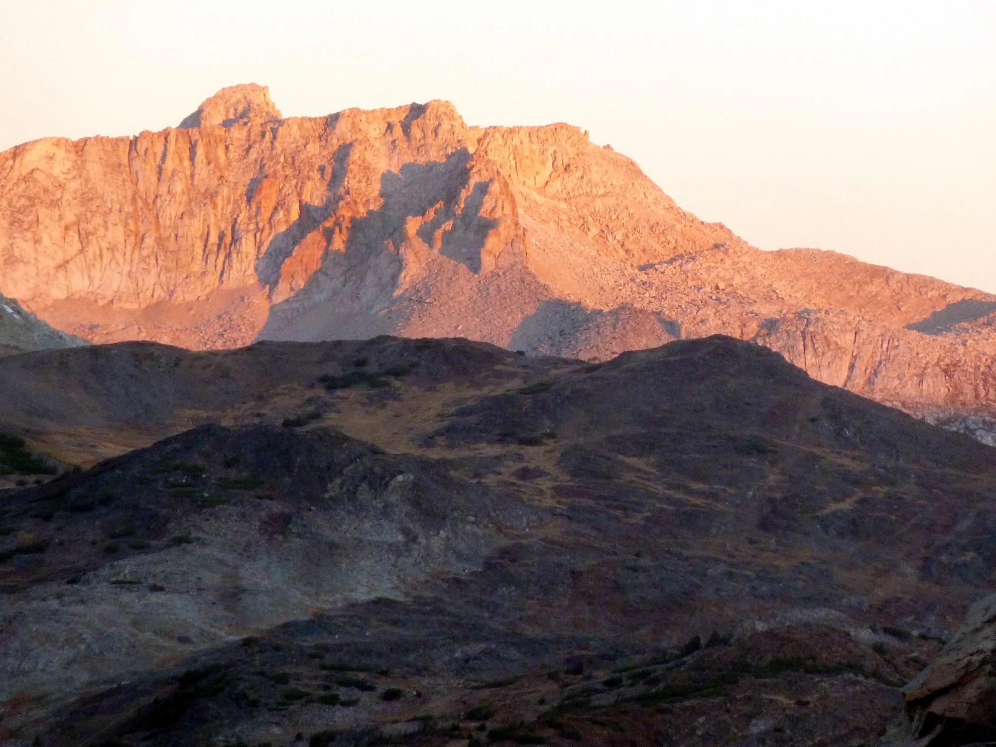
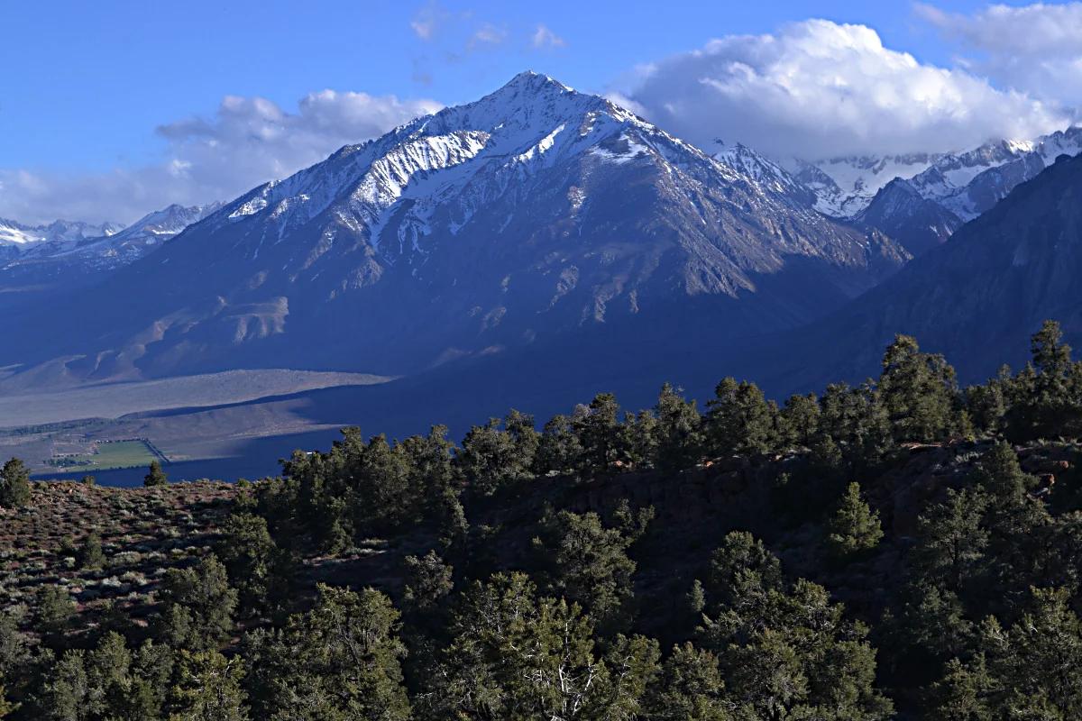
Ralston Peak
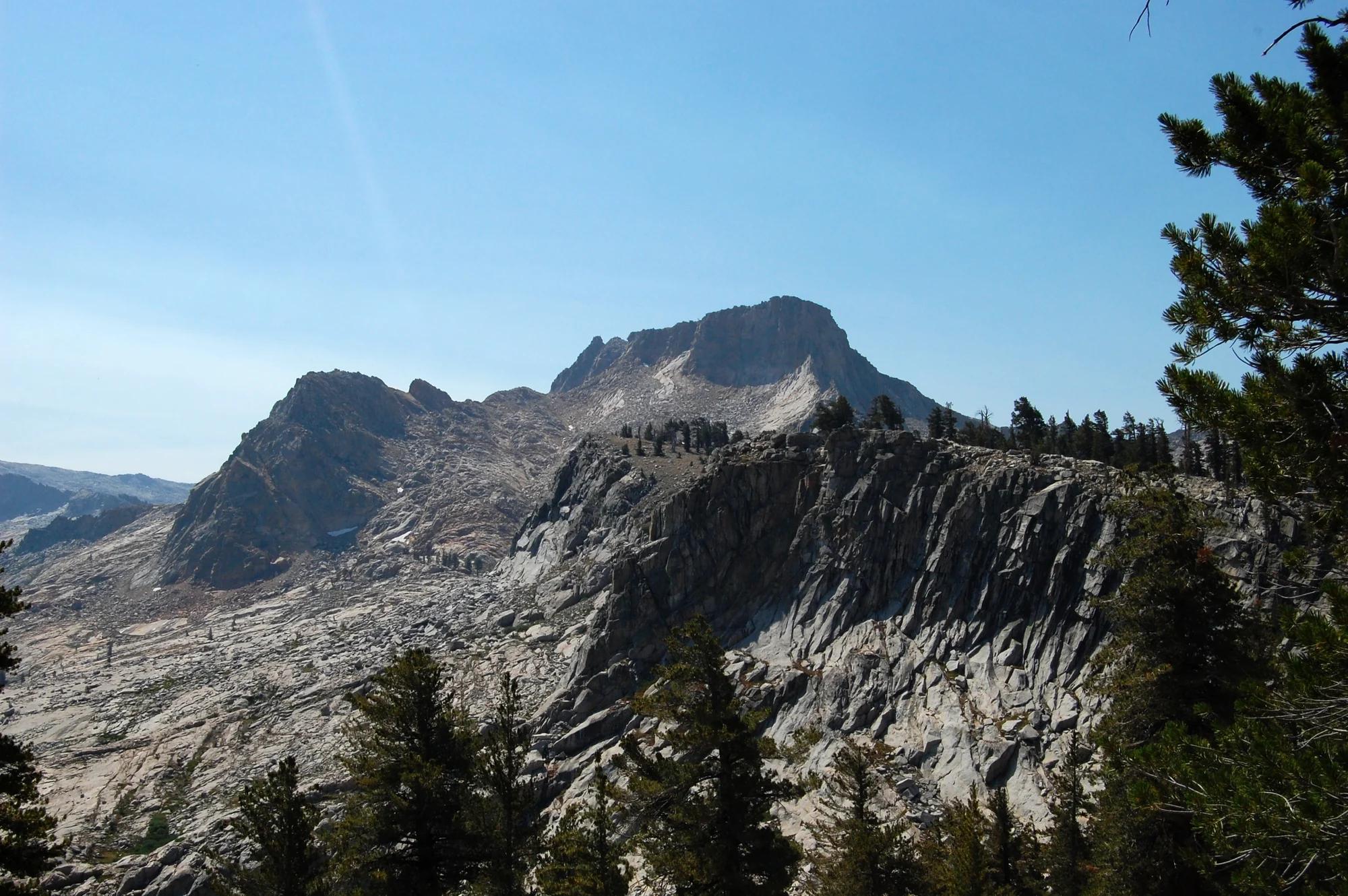
Verified California peak at 9,209 ft in Eldorado National Forest (Lake Tahoe & Northern Sierra). Linked to Ralston Peak.
- Route
- 0.6 mi
- Elevation
- 9,209 ft
Browse & Discover
Canyon trails, waterfall walks, ridge traverses and high peaks.
1,330 of 2,051 places
Drag to pan. Double-click, pinch or scroll to zoom. Keyboard: arrow keys and +/−. Cards below remain available.
Loading map… Browse the spot cards below at any time.

Joshua Tree National Park
A granite arch in the White Tank monzogranite, reached by a short sandy trail from the Twin Tanks parking area.
John D. from Pasadena, USA · CC BY 2.0. Source & image licence

Russian Ridge Open Space Preserve
The highest named summit in San Mateo County, an open grassland top on Russian Ridge with views from the ocean to the Bay.
Justin Dolske from Cupertino, USA · CC BY-SA 2.0. Source & image licence

Eaton Canyon Natural Area
The waterfall at the head of lower Eaton Canyon, reached by a wide wash walk from the Eaton Canyon Nature Center and a final creekside scramble.
[scott.medling or en:user:scott.medling user:scott.medling from California, United States] · CC BY-SA 2.0. Source & image licence

Escondido Canyon Park
A multi-tiered waterfall in Escondido Canyon above Malibu. The maintained trail ends at the base of the mossy lower tier.
Santa Monica Mountains National Recreation Area · Public domain. Source & image licence

Inyo National Forest
A chain of small alpine lakes at the head of Little Lakes Valley in the John Muir Wilderness, below the 13,000-foot peaks of the Bear Creek Spire cirque.
Jane S. Richardson (talk · contribs) · CC BY-SA 3.0. Source & image licence

Mount Tamalpais Watershed
A winter-and-spring cascade on Cataract Creek just below the Laurel Dell picnic area, reached downhill along the Cataract Trail from Rock Spring.
Richard Wood · CC BY-SA 3.0. Source & image licence

Angeles National Forest
A waterfall of about fifty feet filling the head of a narrow, shaded canyon, a short walk upstream from Millard Campground.
Region 5 Photography · Public domain. Source & image licence

Mission Peak Regional Preserve
The bare grassland summit above Fremont, marked by the Mission Peeker sighting pole and climbed by the Hidden Valley Trail from Stanford Avenue.
Oleg Alexandrov · CC BY-SA 3.0. Source & image licence

Angeles National Forest
The highest summit of the San Gabriel Mountains, reached from Baldy Notch along the exposed Devils Backbone ridge.
Darkest tree · CC BY-SA 4.0. Source & image licence

Mount Tamalpais State Park
The summit of Mount Tamalpais, a short plank-and-rock climb from the East Peak visitor area to the fire lookout above the whole Bay Area.
Chris Koerner from St. Louis, USA · CC BY-SA 2.0. Source & image licence

Inyo National Forest
A quiet lake in the Ansel Adams Wilderness beneath Parker Peak, reached through sage and an aspen-lined creek canyon off the June Lake Loop.
Mark Gunn from Novato, California, USA · CC BY 2.0. Source & image licence

Pfeiffer Big Sur State Park
A 60-foot waterfall on Pfeiffer-Redwood Creek, reached through the redwoods of Pfeiffer Big Sur State Park on a trail twice rebuilt — after the 2008 Basin Complex Fire and again after 2023 storm damage.
Joe Mabel · CC BY-SA 4.0. Source & image licence
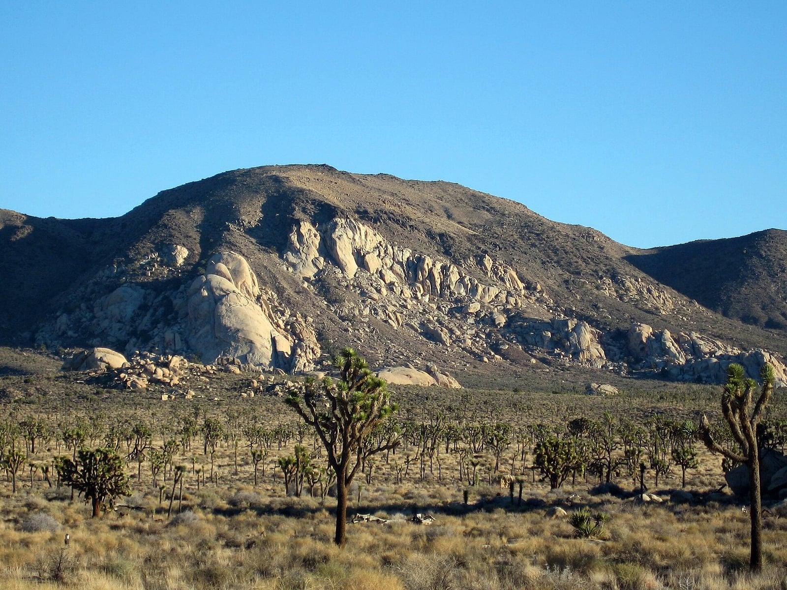
Joshua Tree National Park
A signed summit trail in Joshua Tree National Park, climbing from Park Boulevard to Ryan Mountain.
Robb Hannawacker / National Park Service · Public domain. Source & image licence

Santa Monica Mountains National Recreation Area
The highest point in the Santa Monica Mountains, climbed from the Mishe Mokwa trailhead along the Backbone Trail at Circle X Ranch.
Wasquewhat · CC BY-SA 4.0. Source & image licence

Angeles National Forest
A 50-foot single drop into a shallow plunge pool, 1.7 mi up Big Santa Anita Canyon. Shaded the entire way in. The work is all on the walk out.
U.S. Department of Agriculture / USDA USFS · CC BY 2.0. Source & image licence
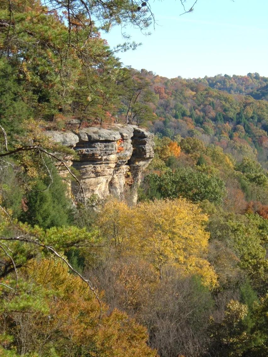
Conkles Hollow State Nature Preserve · Hocking Hills · Ohio
Sheer 200-foot Black Hand sandstone cliffs bounding one of the deepest ravines in Ohio, traversed by an exhilarating cliff-edge rim trail.
Photo: Analogue Kid at English Wikipedia · CC BY 2.5
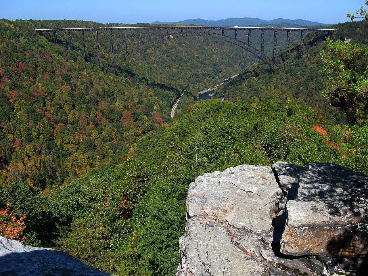
New River Gorge National Park and Preserve · Appalachian & Blue Ridge · West Virginia
Narrow Nuttall sandstone rock finger jutting into the gorge with a dead-center profile view of the 3,030-foot New River Gorge steel arch bridge.
Photo: NPS photo/Dave Bieri · Public domain
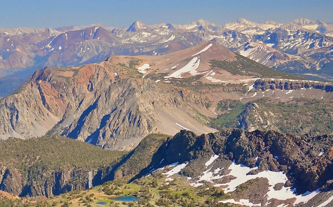
Inyo National Forest · Yosemite & Central Sierra
Verified California peak at 11,555 ft in Inyo National Forest (Yosemite & Central Sierra).
Photo: File:Alger Lakes Ansel Adams Wilderness.jpg : Steve Dunleavy from Lake Tahoe, NV, United States cropping: Hike395 · CC BY 2.0
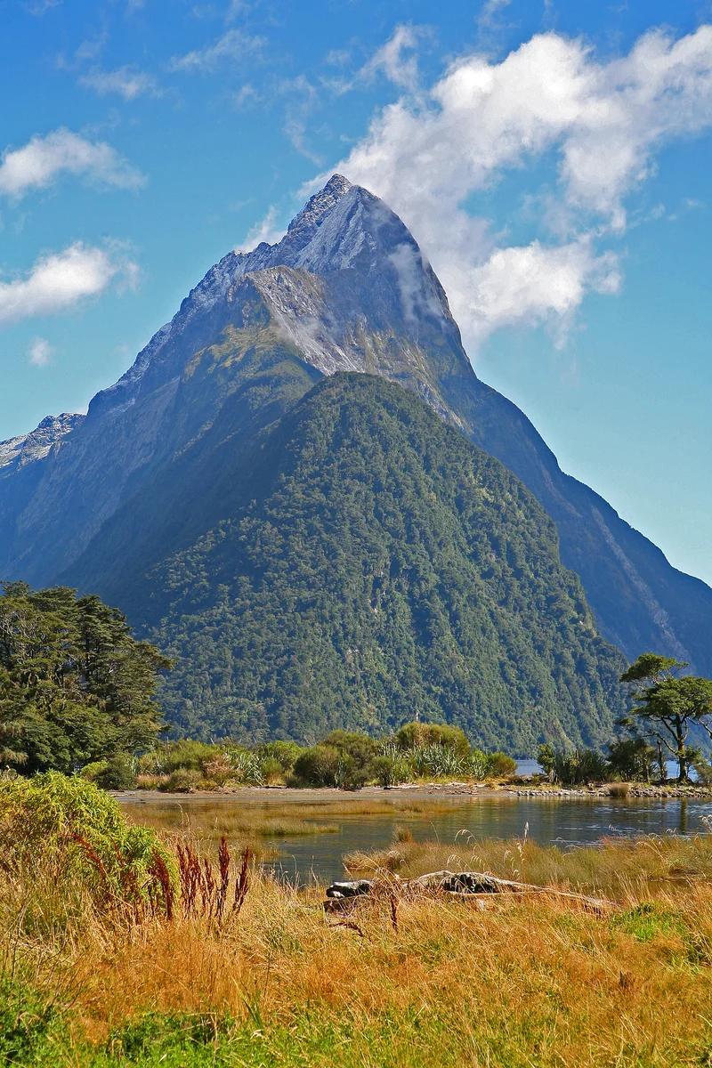
Fiordland National Park · New Zealand
Glacial carved fjord framed by the soaring 1,692-metre triangular pyramid of Mitre Peak, cascading Stirling Falls, and deep dark fjord waters frequented by seals.
Photo: W. Bulach · CC BY-SA 4.0
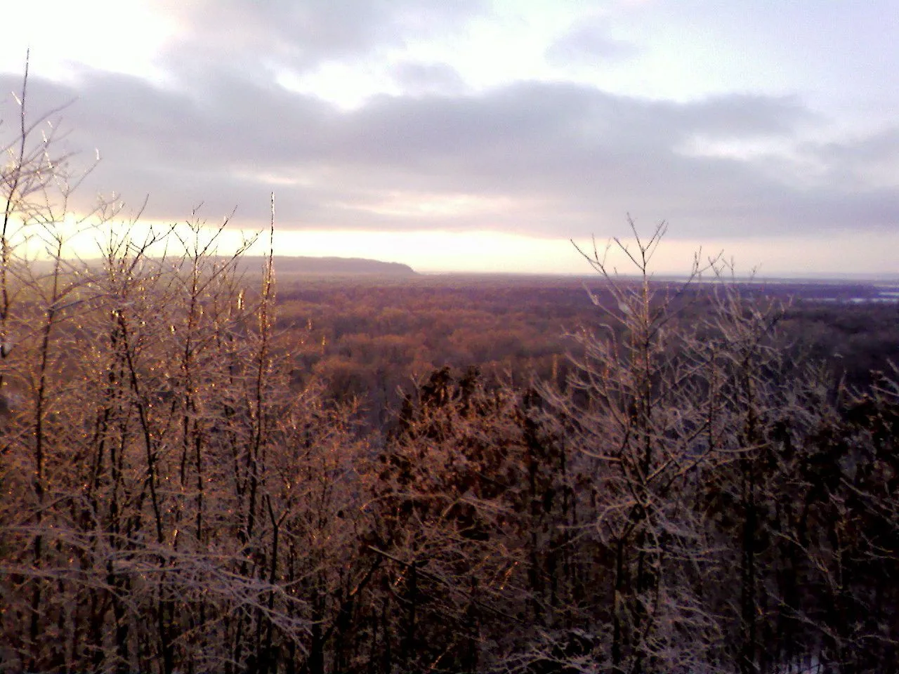
Shawnee National Forest (Murphysboro) · Southern Illinois / Shawnee · Illinois
Adventurous descent through a steep box canyon where ancient creek waters have carved foot-holds directly into slick sandstone beneath 300-foot bluffs.
Photo: randwill · CC BY 2.0
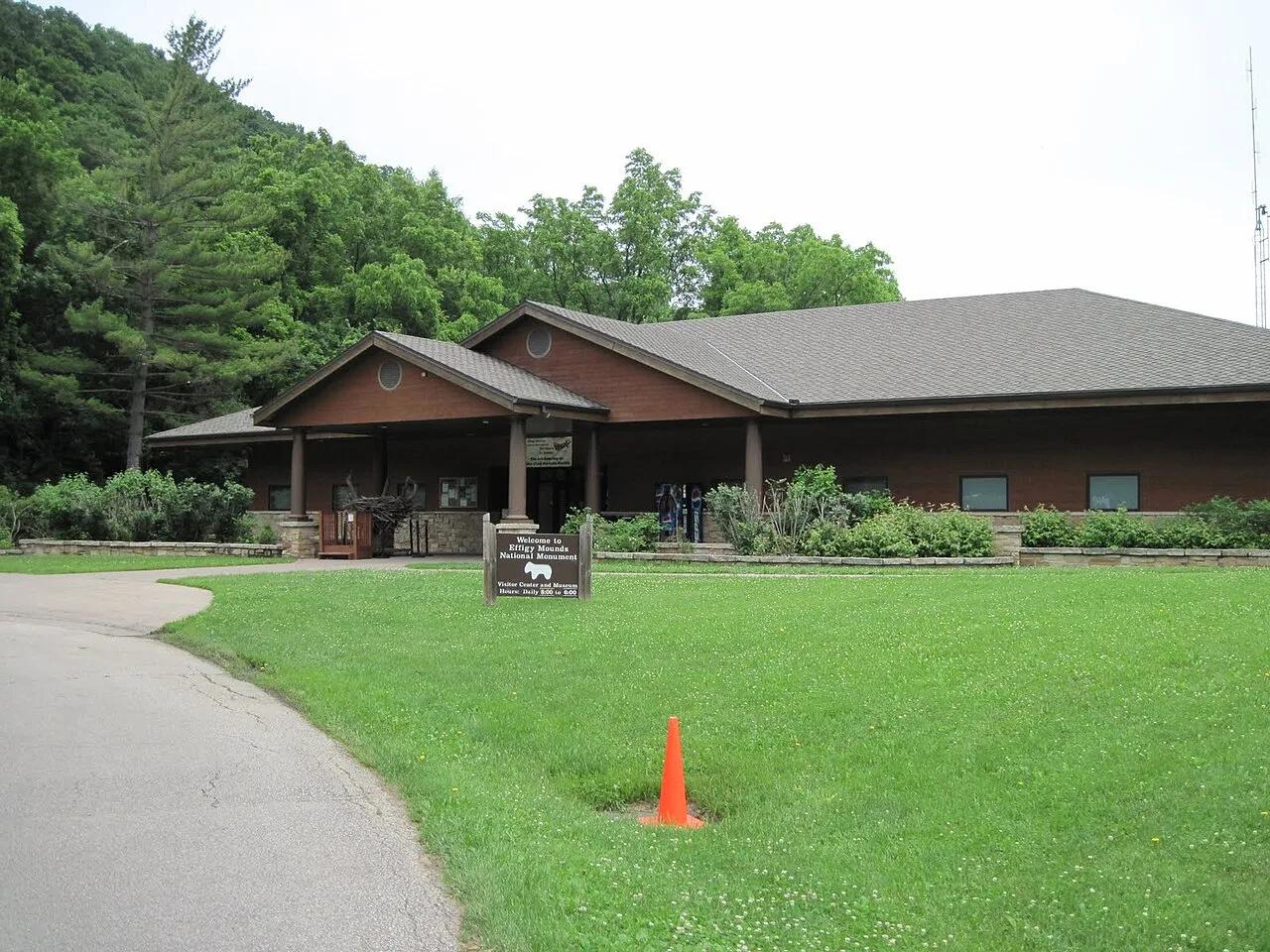
Effigy Mounds National Monument · Upper Mississippi Valley · Iowa
Sacred American Indian effigy earthworks shaped like bears and birds atop forested Mississippi River bluffs overlooking the Yellow River delta.
Photo: SkybirdForever · CC BY-SA 3.0
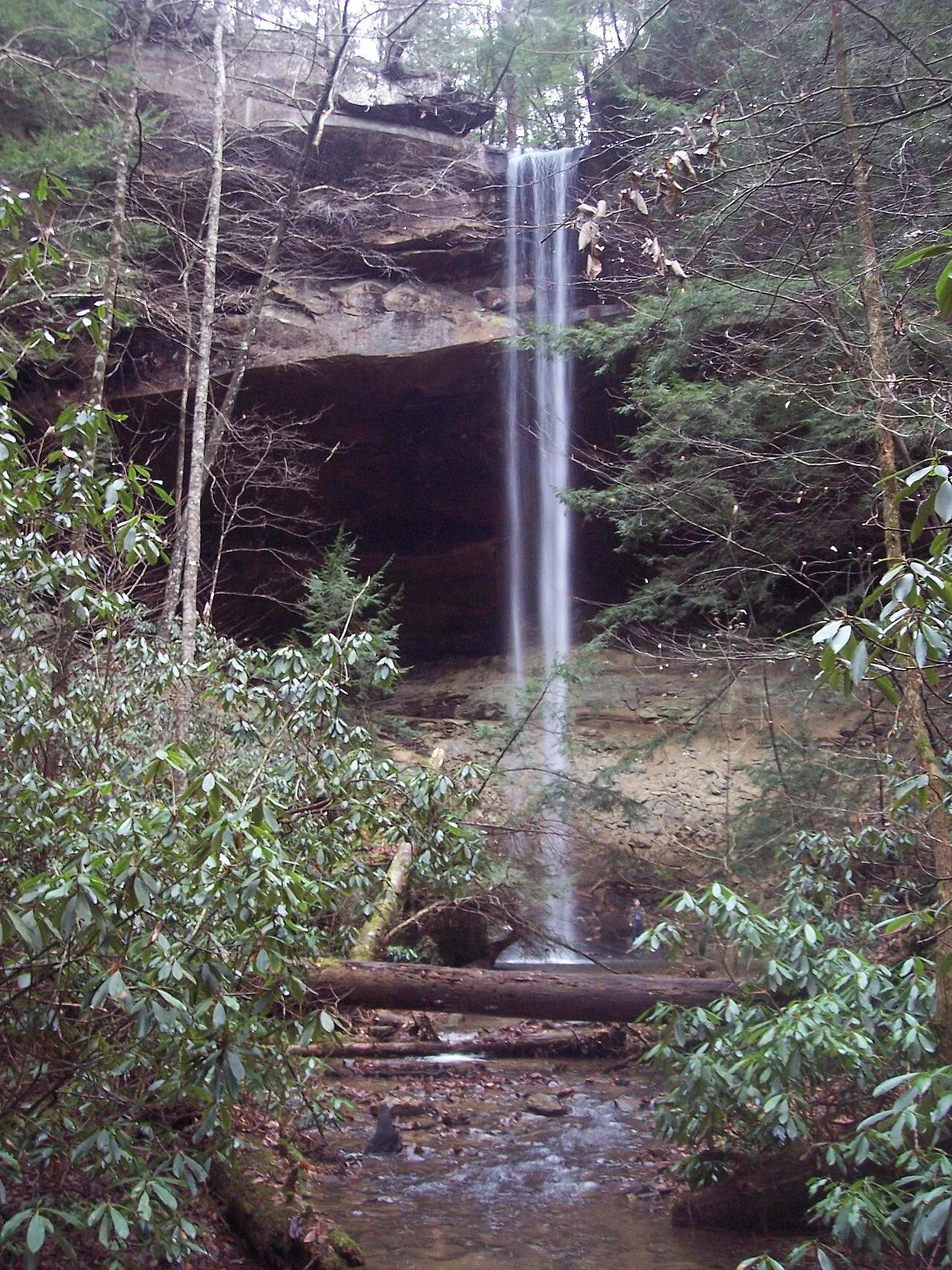
Big South Fork National River and Recreation Area (Whitley City) · Appalachian & Blue Ridge · Kentucky
Kentucky's highest waterfall—a 113-foot plunge framed by a massive sandstone rock shelter you can walk completely behind.
Photo: Mason Brock (Masebrock) · Public domain
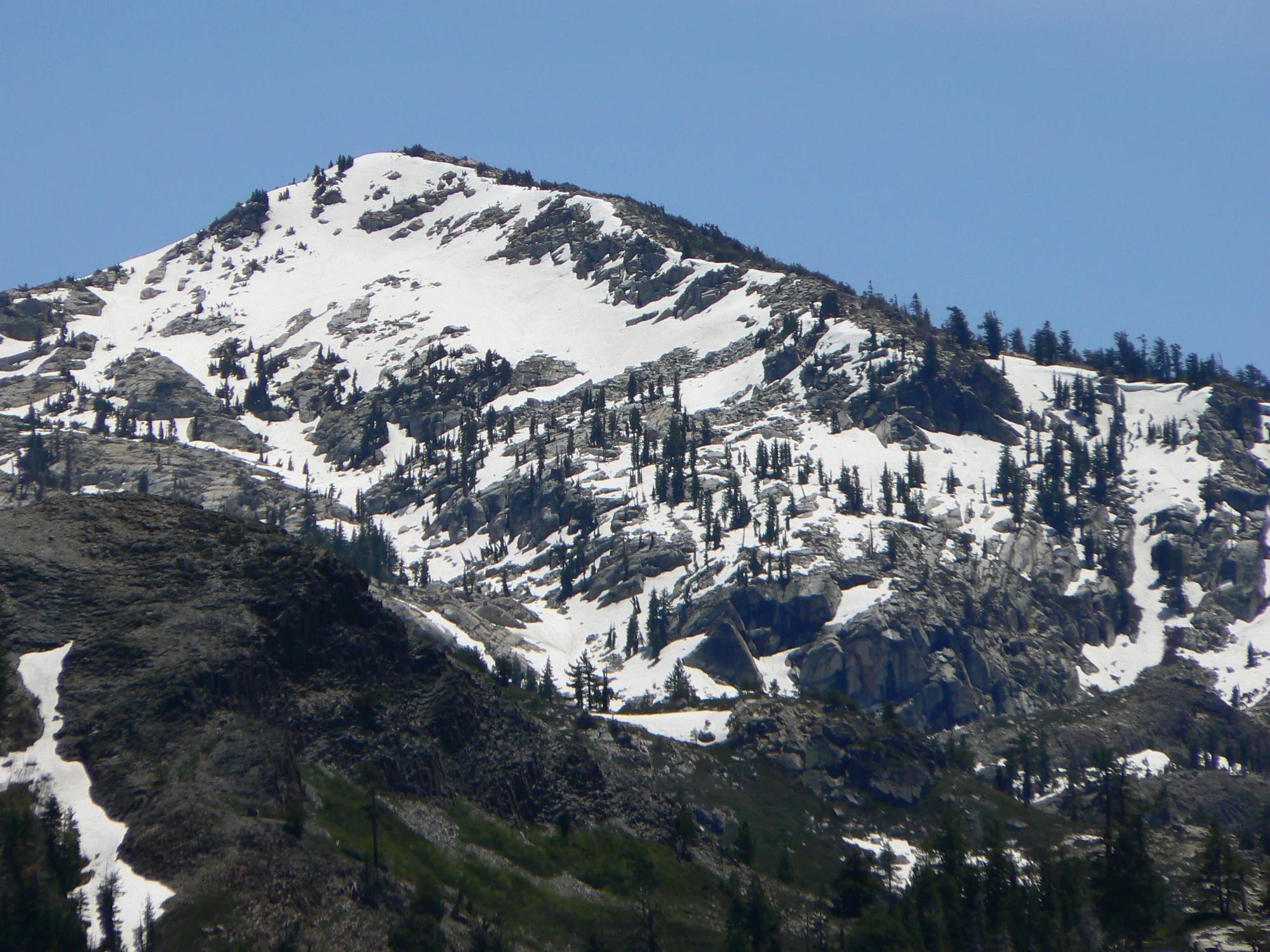
Eldorado National Forest · Lake Tahoe & Northern Sierra
Verified California peak at 8,855 ft in Eldorado National Forest (Lake Tahoe & Northern Sierra).
Photo: Nick Ares from Auburn, CA, United States · CC BY-SA 2.0
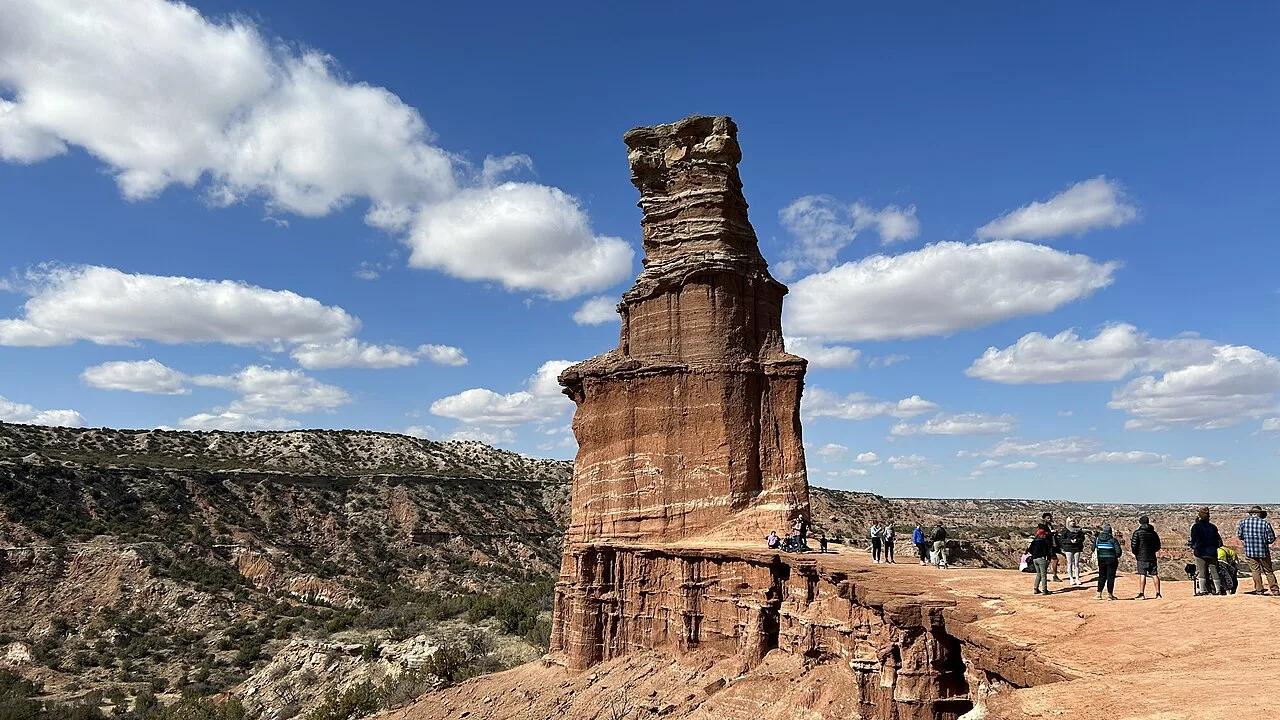
Palo Duro Canyon State Park (Canyon / Amarillo) · Texas & Southwest · Texas
310-foot multicolored Quartermaster formation hoodoo rising inside the second-largest canyon system in the United States.
Photo: Patrickhuber100 · CC BY-SA 4.0