Peak
Sequoia and Kings Canyon National Parks · Yosemite & Central Sierra
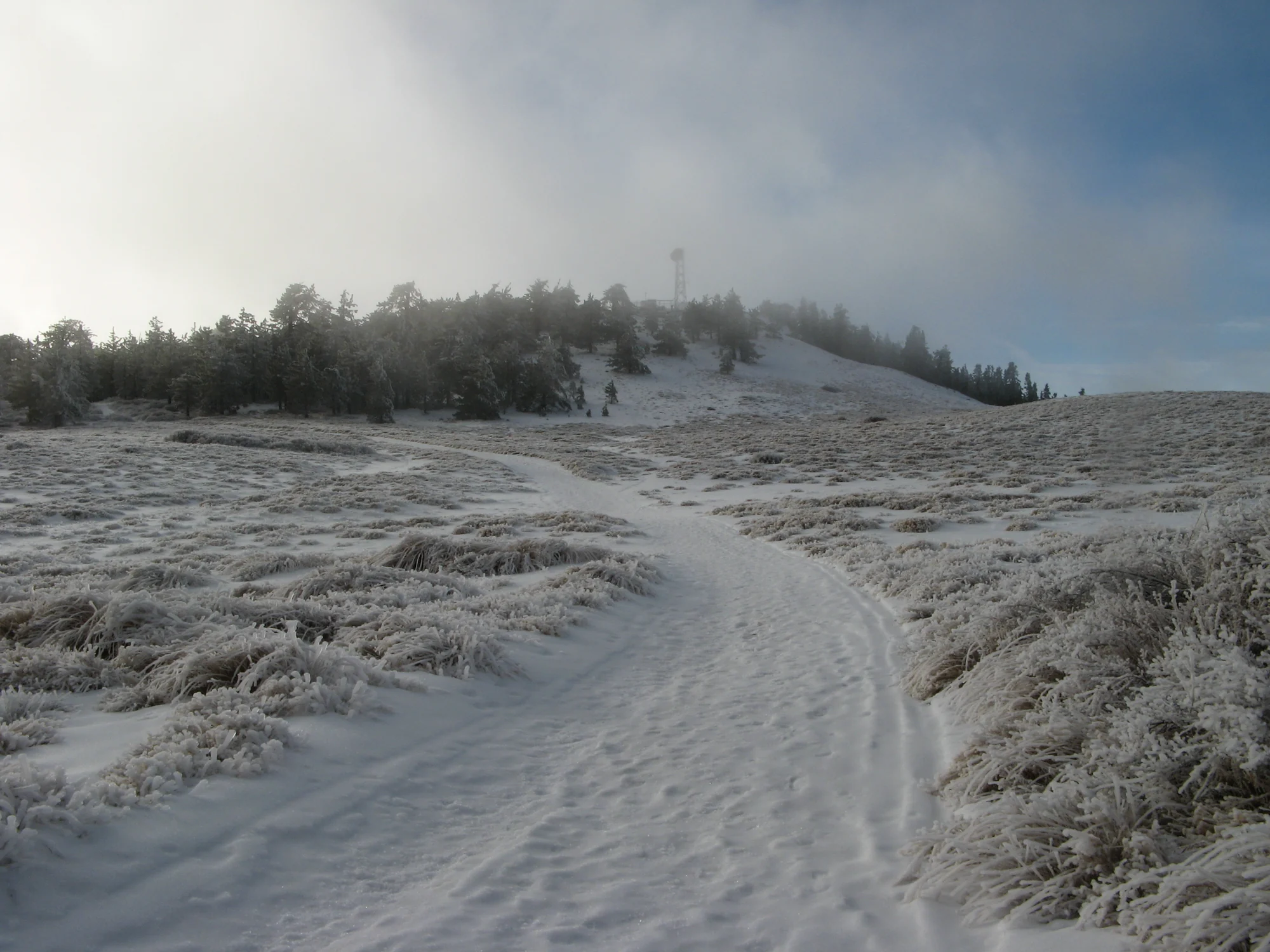
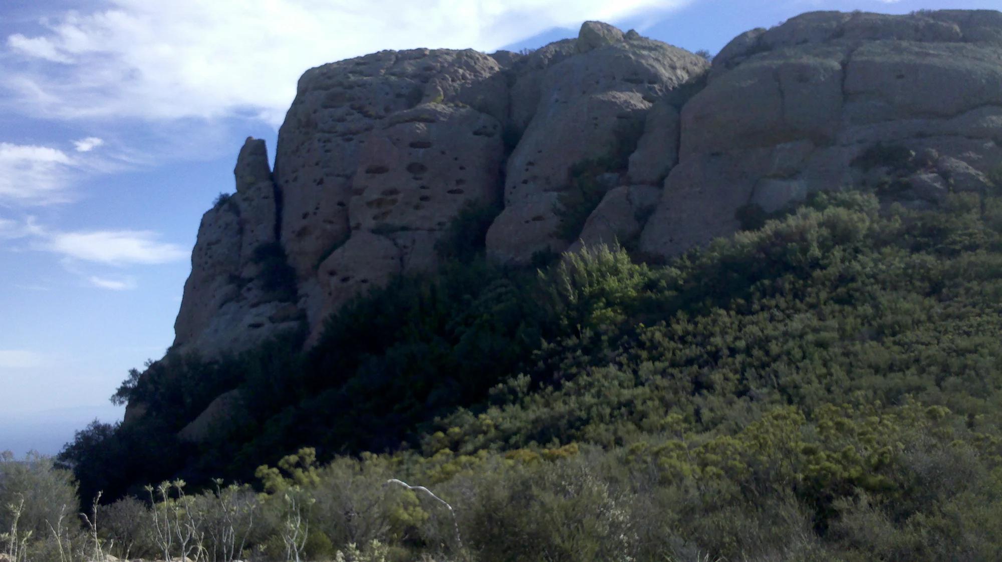
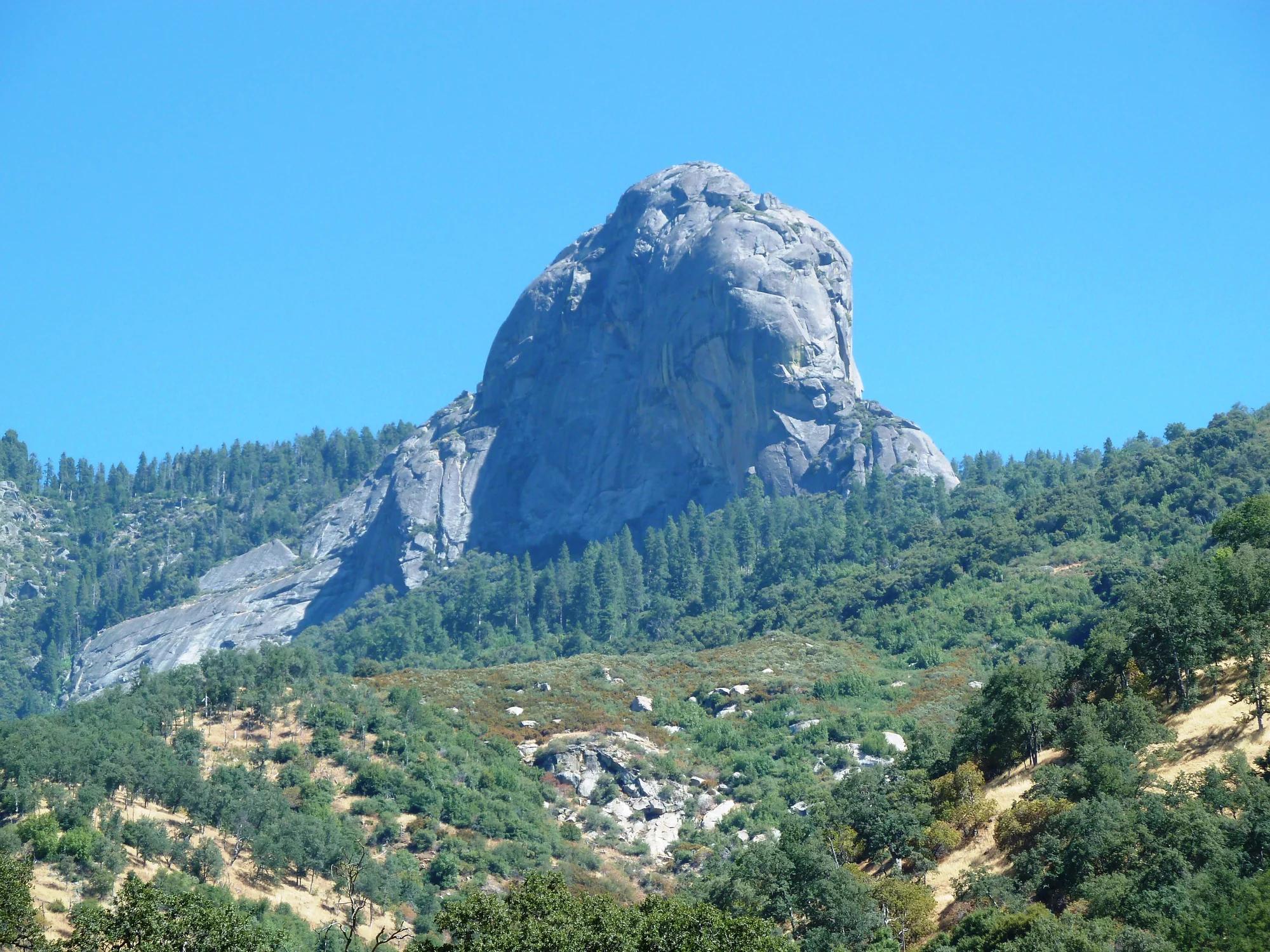
Moro Rock
Verified California peak at 6,726 ft in Sequoia and Kings Canyon National Parks (Yosemite & Central Sierra).
- Route
- 2.9 mi
- Climb
- 361 ft
Browse & Discover
Canyon trails, waterfall walks, ridge traverses and high peaks.
1,330 of 2,051 places
Drag to pan. Double-click, pinch or scroll to zoom. Keyboard: arrow keys and +/−. Cards below remain available.
Loading map… Browse the spot cards below at any time.

Joshua Tree National Park
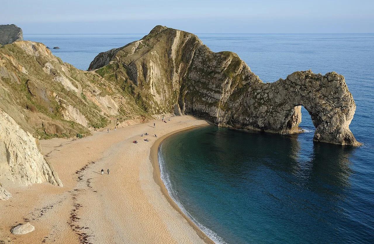
A granite arch in the White Tank monzogranite, reached by a short sandy trail from the Twin Tanks parking area.
John D. from Pasadena, USA · CC BY 2.0. Source & image licence

Russian Ridge Open Space Preserve
The highest named summit in San Mateo County, an open grassland top on Russian Ridge with views from the ocean to the Bay.
Justin Dolske from Cupertino, USA · CC BY-SA 2.0. Source & image licence

Eaton Canyon Natural Area
The waterfall at the head of lower Eaton Canyon, reached by a wide wash walk from the Eaton Canyon Nature Center and a final creekside scramble.
[scott.medling or en:user:scott.medling user:scott.medling from California, United States] · CC BY-SA 2.0. Source & image licence

Escondido Canyon Park
A multi-tiered waterfall in Escondido Canyon above Malibu. The maintained trail ends at the base of the mossy lower tier.
Santa Monica Mountains National Recreation Area · Public domain. Source & image licence

Inyo National Forest
A chain of small alpine lakes at the head of Little Lakes Valley in the John Muir Wilderness, below the 13,000-foot peaks of the Bear Creek Spire cirque.
Jane S. Richardson (talk · contribs) · CC BY-SA 3.0. Source & image licence

Mount Tamalpais Watershed
A winter-and-spring cascade on Cataract Creek just below the Laurel Dell picnic area, reached downhill along the Cataract Trail from Rock Spring.
Richard Wood · CC BY-SA 3.0. Source & image licence

Angeles National Forest
A waterfall of about fifty feet filling the head of a narrow, shaded canyon, a short walk upstream from Millard Campground.
Region 5 Photography · Public domain. Source & image licence

Mission Peak Regional Preserve
The bare grassland summit above Fremont, marked by the Mission Peeker sighting pole and climbed by the Hidden Valley Trail from Stanford Avenue.
Oleg Alexandrov · CC BY-SA 3.0. Source & image licence

Angeles National Forest
The highest summit of the San Gabriel Mountains, reached from Baldy Notch along the exposed Devils Backbone ridge.
Darkest tree · CC BY-SA 4.0. Source & image licence

Mount Tamalpais State Park
The summit of Mount Tamalpais, a short plank-and-rock climb from the East Peak visitor area to the fire lookout above the whole Bay Area.
Chris Koerner from St. Louis, USA · CC BY-SA 2.0. Source & image licence

Inyo National Forest
A quiet lake in the Ansel Adams Wilderness beneath Parker Peak, reached through sage and an aspen-lined creek canyon off the June Lake Loop.
Mark Gunn from Novato, California, USA · CC BY 2.0. Source & image licence

Pfeiffer Big Sur State Park
A 60-foot waterfall on Pfeiffer-Redwood Creek, reached through the redwoods of Pfeiffer Big Sur State Park on a trail twice rebuilt — after the 2008 Basin Complex Fire and again after 2023 storm damage.
Joe Mabel · CC BY-SA 4.0. Source & image licence
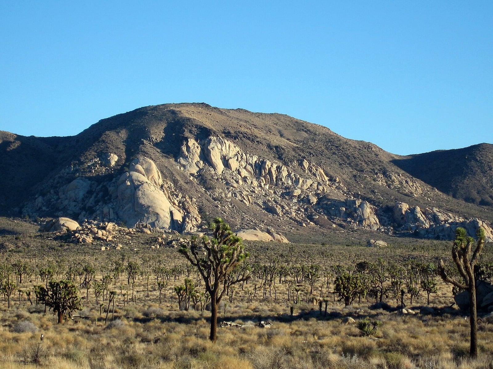
Joshua Tree National Park
A signed summit trail in Joshua Tree National Park, climbing from Park Boulevard to Ryan Mountain.
Robb Hannawacker / National Park Service · Public domain. Source & image licence

Santa Monica Mountains National Recreation Area
The highest point in the Santa Monica Mountains, climbed from the Mishe Mokwa trailhead along the Backbone Trail at Circle X Ranch.
Wasquewhat · CC BY-SA 4.0. Source & image licence

Angeles National Forest
A 50-foot single drop into a shallow plunge pool, 1.7 mi up Big Santa Anita Canyon. Shaded the entire way in. The work is all on the walk out.
U.S. Department of Agriculture / USDA USFS · CC BY 2.0. Source & image licence
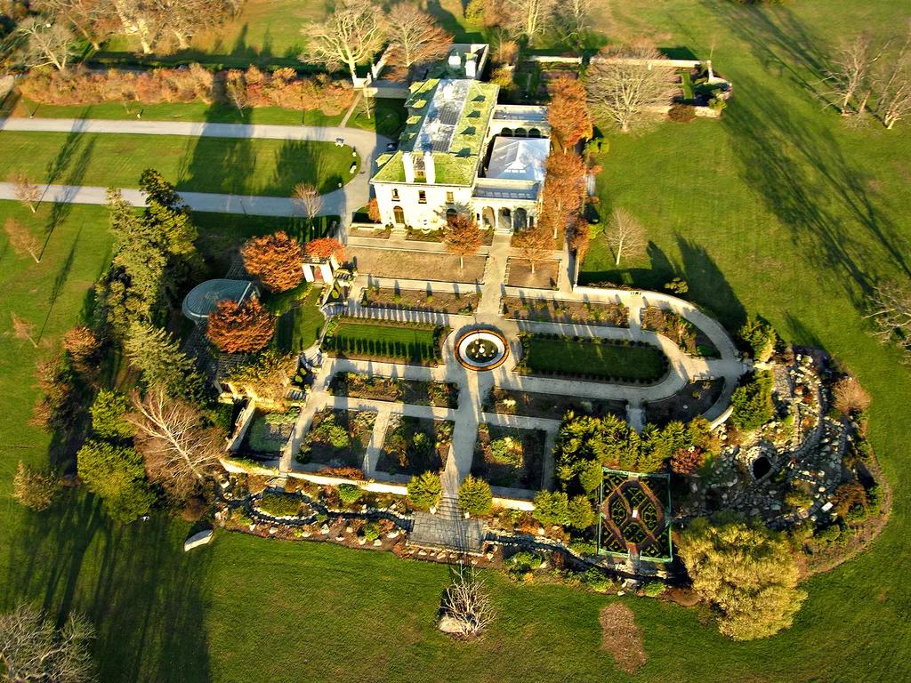
Harkness Memorial State Park · Mystic Country / Sound Shoreline · Connecticut
A grand 230-acre coastal estate on Long Island Sound featuring historic formal Italian gardens, sprawling lawns, and sand beaches.
Photo: PostMan1107 · CC BY 2.5
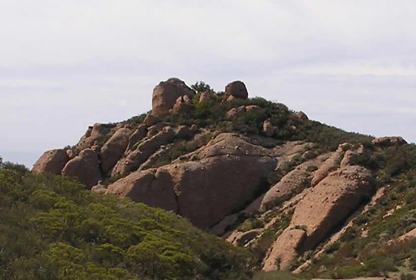
Santa Monica Mountains
Verified California peak in Santa Monica Mountains. Linked to Backbone Trail.
Photo: Justin Johnsen ( Justin.Johnsen ) · CC BY-SA 3.0
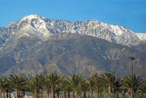
Angeles National Forest · San Gabriel Mountains
Verified California peak at 8,842 ft in Angeles National Forest (San Gabriel Mountains).
Photo: Cliff Hutson ; later cropping and color editing by Daniel Case . · CC BY 2.0
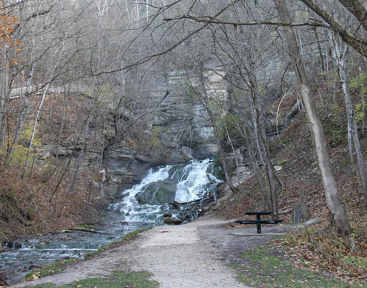
Dunning's Spring Park / Decorah City Parks · Driftless Area · Iowa
Spectacular 200-foot spring-fed cascade tumbling over limestone shelves surrounded by cold-water trout streams and nearby Decorah Ice Cave.
Photo: Tomruen · CC BY-SA 4.0
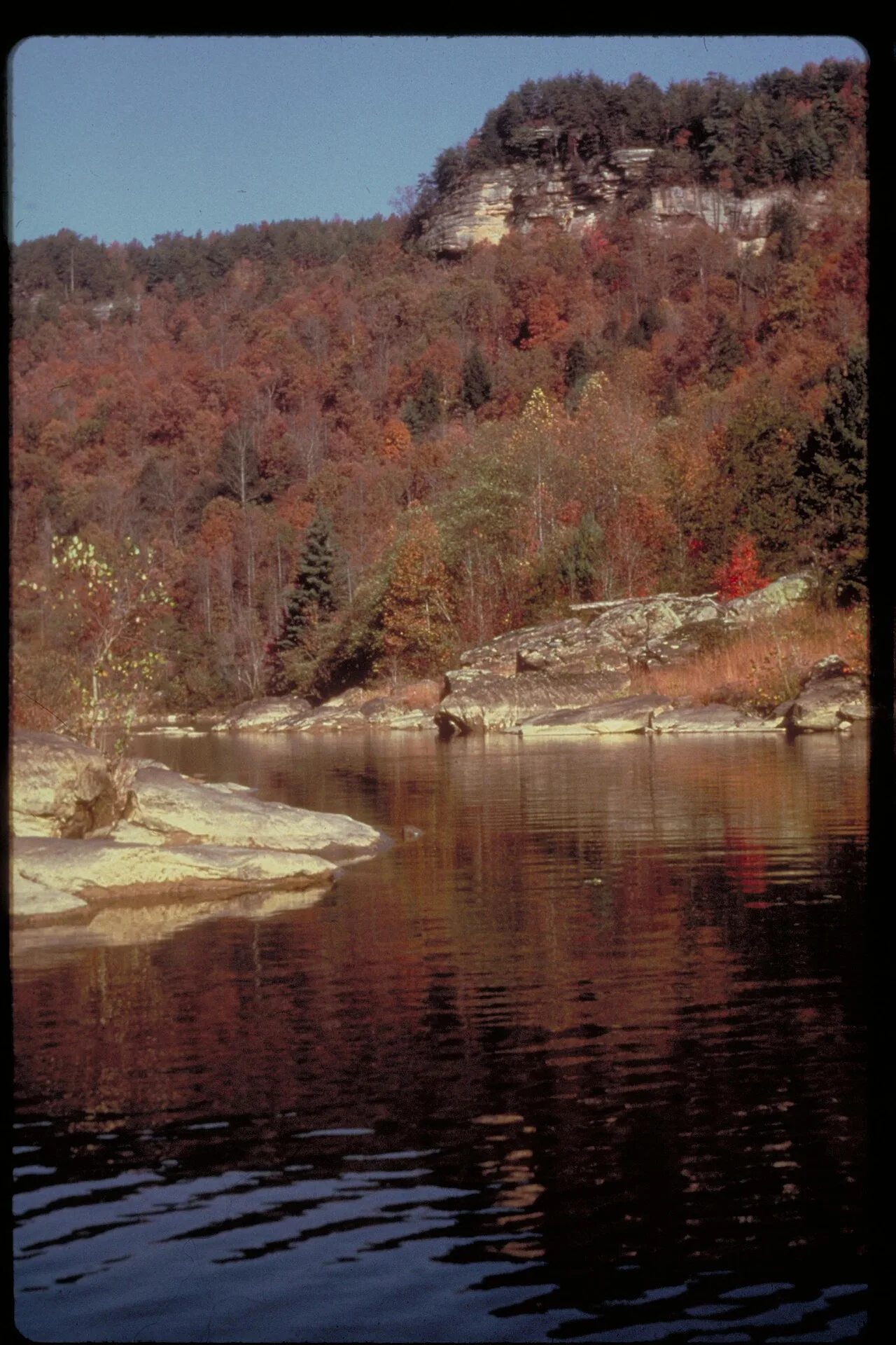
Cumberland Falls State Resort Park (Corbin) · Appalachian & Blue Ridge · Kentucky
44-foot waterfall plunging into a rocky gorge directly across the river from 125-foot-wide Cumberland Falls, offering the best side-by-side view of both cascades.
Photo: NPS staff · Public domain
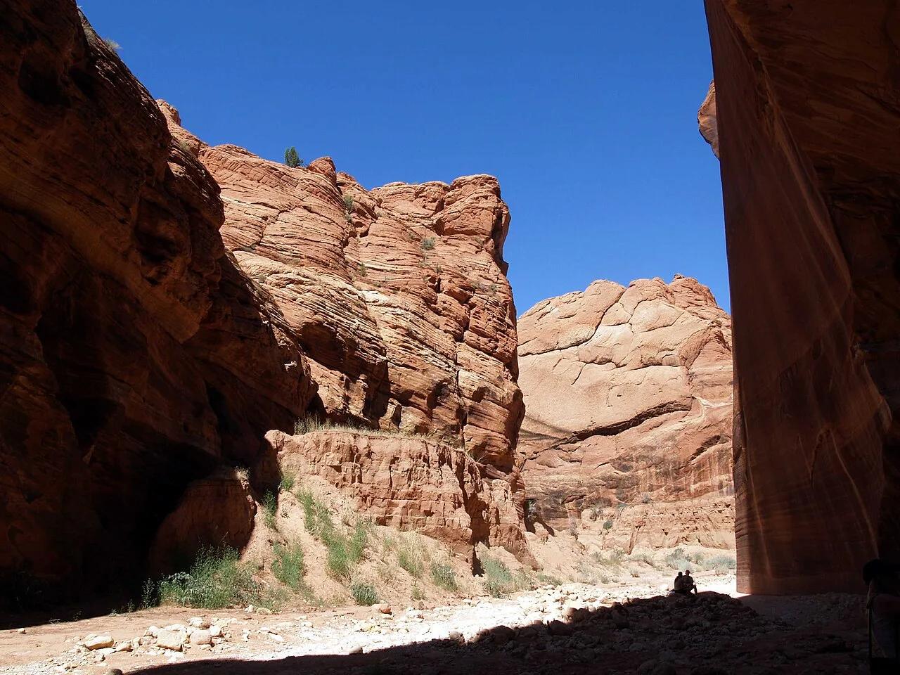
Vermilion Cliffs National Monument (Kanab) · Colorado Plateau · Utah
Sculpted wave-like Navajo sandstone narrows leading into the longest and deepest contiguous slot canyon in the American Southwest.
Photo: Philkon Phil Konstantin · Public domain
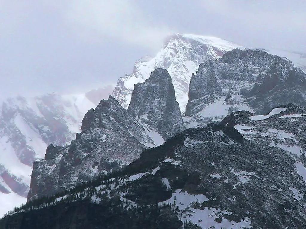
Rocky Mountain National Park · Rocky Mountains · Colorado
Scramble beside freezing Timberline Falls to a pair of subalpine glacial tarns ringed by the vertical granite Sharkstooth and Taylor Peak spires.
Photo: NPS Natural Resources · Public domain
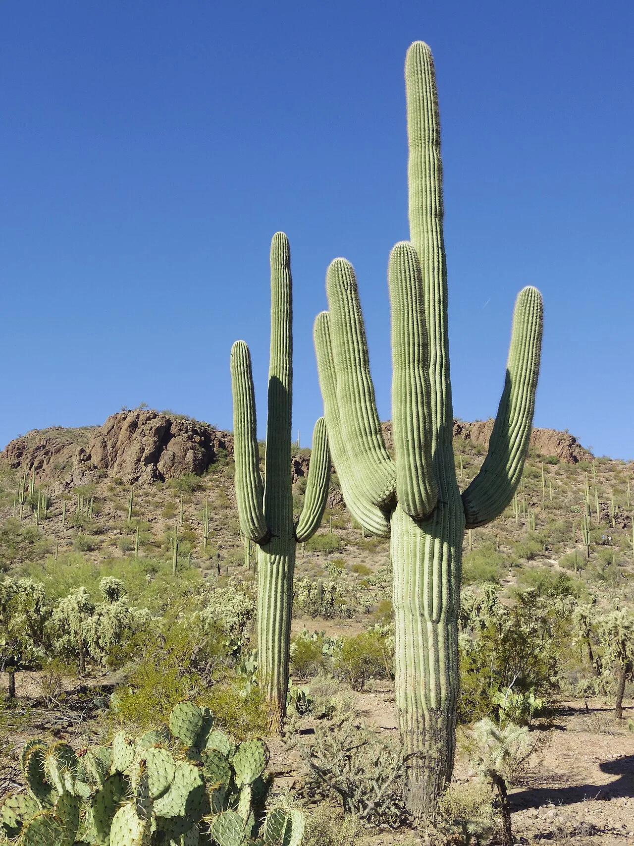
Saguaro National Park (Tucson Mountain District) · American Southwest · Arizona
Highest summit in the Tucson Mountains surrounded by dense forests of giant multi-armed saguaro cacti and prehistoric petroglyphs.
Photo: WClarke · CC BY-SA 3.0
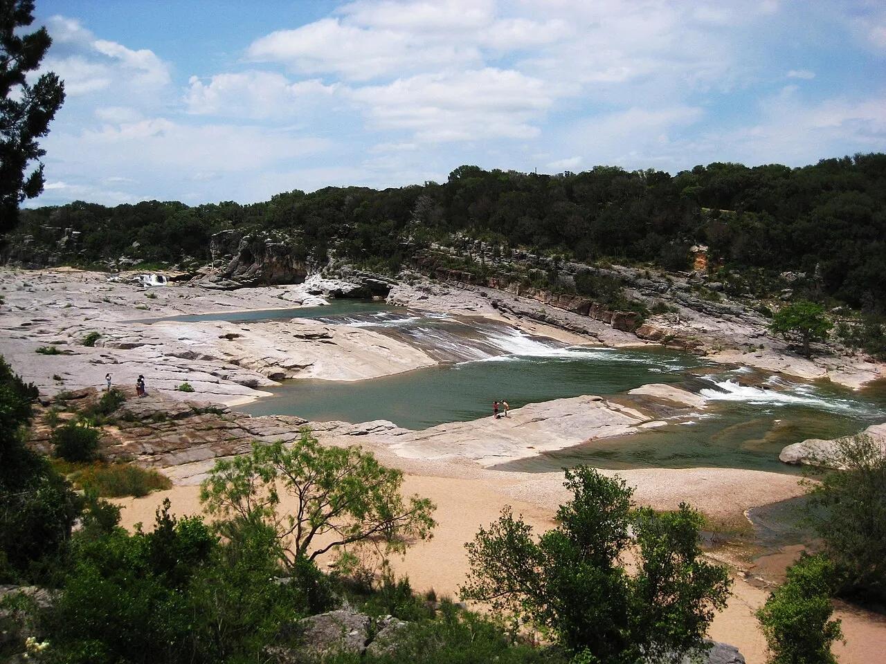
Pedernales Falls State Park (Texas Hill Country) · American Southwest · Texas
300-million-year-old tilted slabs of Marble Falls limestone channeling the Pedernales River through stair-stepped chutes and potholes.
Photo: Liveon001 ©Travis Witt · CC BY-SA 3.0
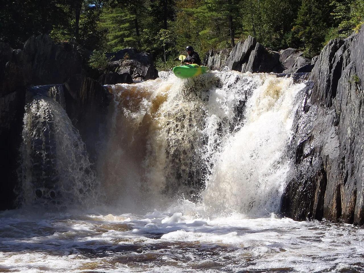
Appalachian Trail Corridor / KI Jo-Mary Multiple Use Forest · Maine Highlands · Maine
Known as the Grand Canyon of Maine, this 400-foot deep slate gorge features roaring screw-auger waterfalls and 200-year-old virgin white pines.
Photo: Tcpx36 · CC BY-SA 3.0
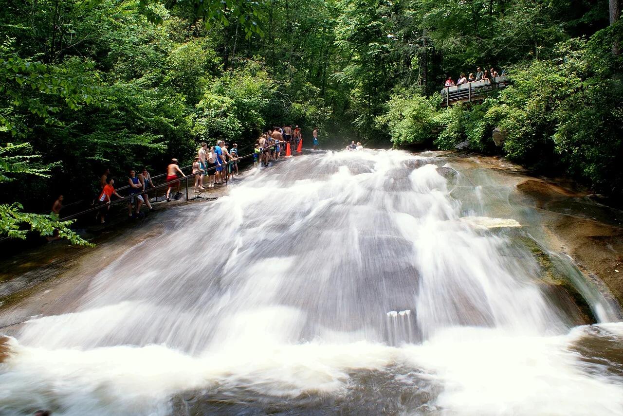
Pisgah National Forest (Brevard) · Appalachian & Blue Ridge · North Carolina
Natural 60-foot smooth granite waterslide fed by 11,000 gallons per minute of Looking Glass Creek, paired with a walk-behind 50-foot forest waterfall.
Photo: Lincolnh · CC BY-SA 3.0
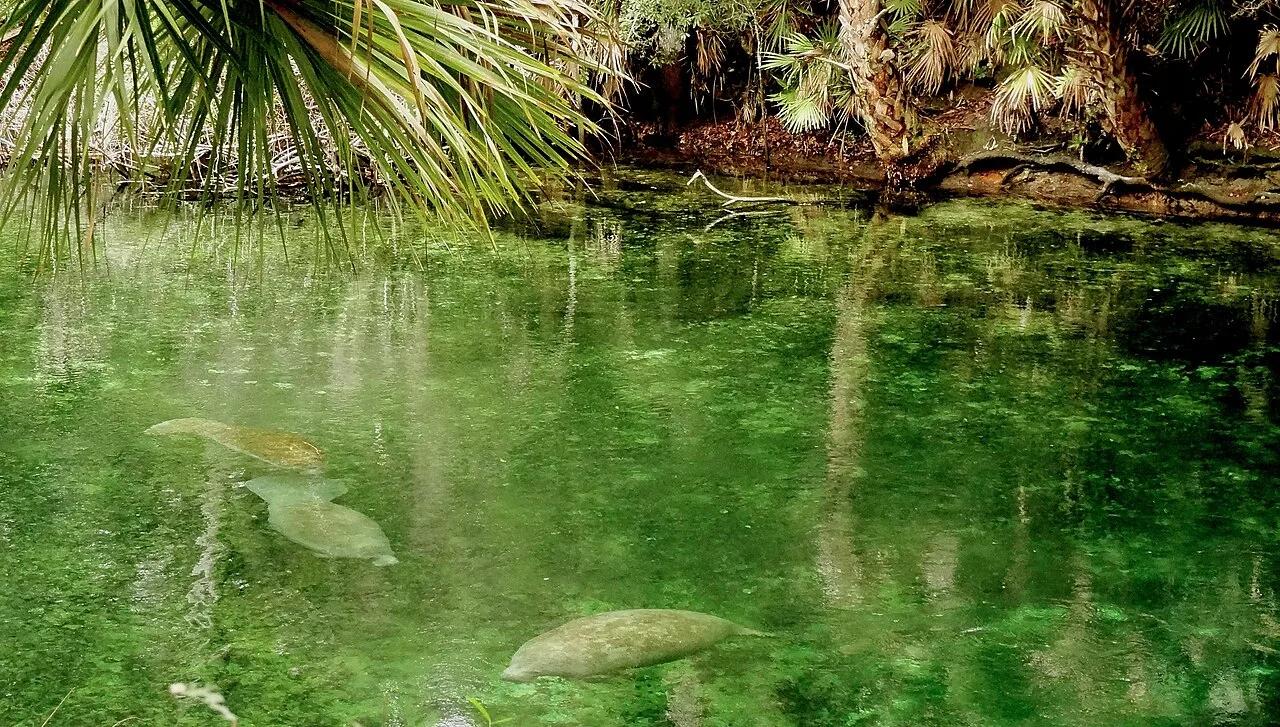
Blue Spring State Park (Orange City) · Atlantic & Gulf Coasts · Florida
Designated winter refuge for over 700 West Indian manatees along a crystal-clear emerald spring run feeding the St. Johns River.
Photo: Rizka · CC BY-SA 4.0
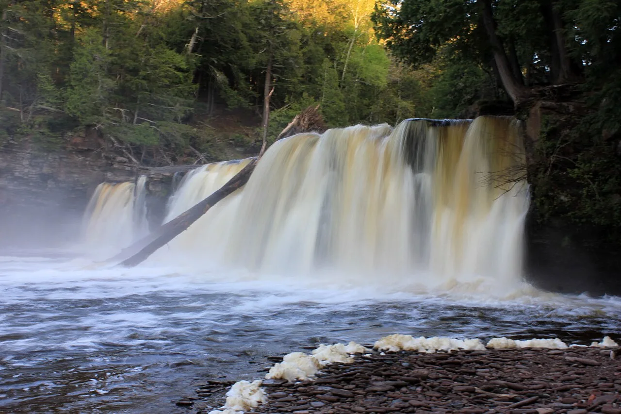
Porcupine Mountains Wilderness State Park · Upper Peninsula · Michigan
Roaring trio of amber-colored cataracts—Manabezho, Manido, and Nawadaha Falls—racing through a deep hemlock gorge into Lake Superior.
Photo: Yinan Chen · Public domain
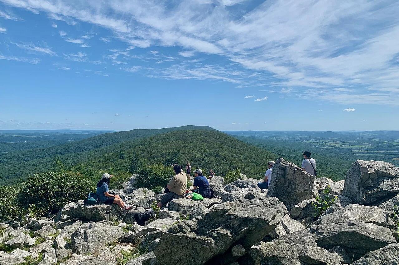
Hawk Mountain Sanctuary · Lehigh Valley / Blue Mountain · Pennsylvania
The world's first raptor sanctuary offers clifftop lookouts over migrating hawks and an ancient 1-mile periglacial sandstone boulder sea.
Photo: Zeete · CC BY-SA 4.0