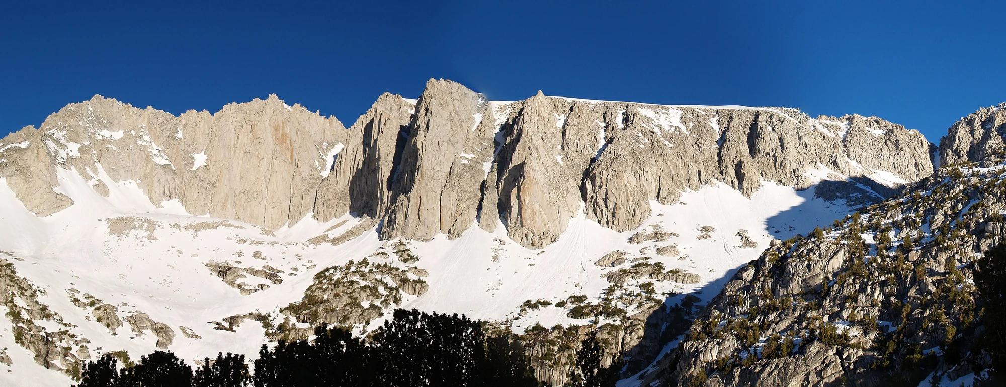
Peak
Yosemite National Park · Yosemite & Central Sierra
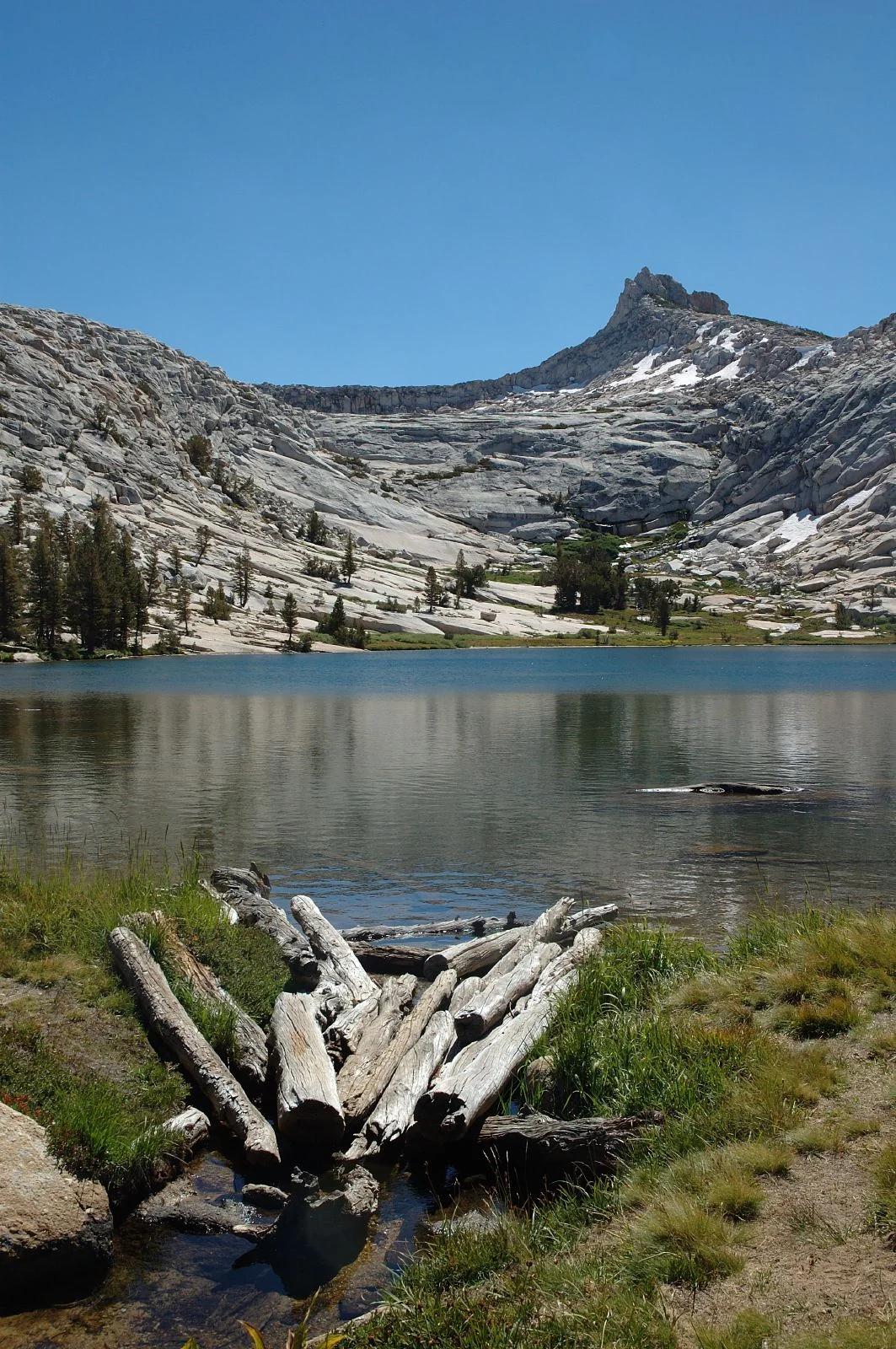
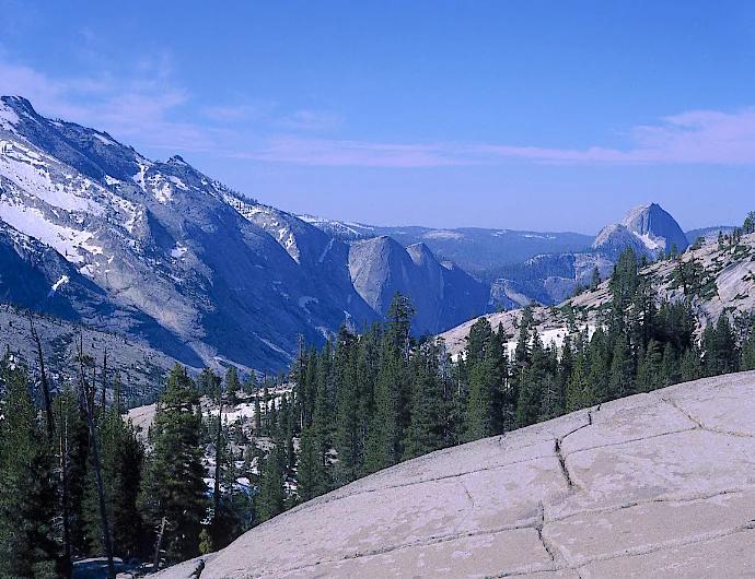
Olmsted Point
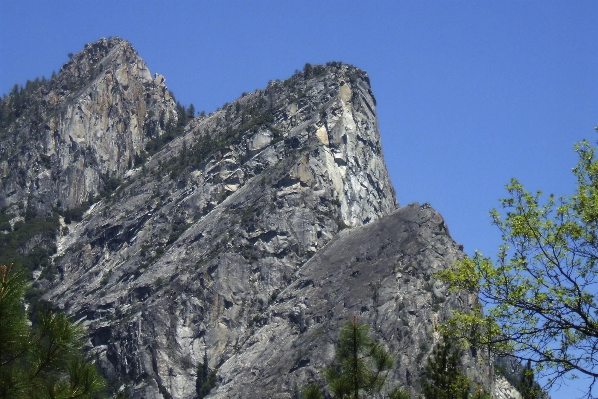
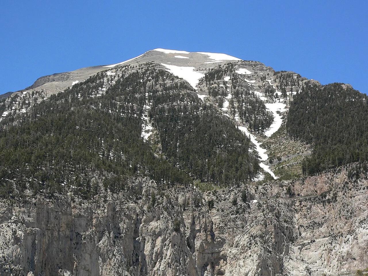
Verified California peak at 8,419 ft in Yosemite National Park (Yosemite & Central Sierra). Linked to Snow Creek Trail.
- Route
- 9.2 mi
- Elevation
- 8,419 ft
Browse & Discover
Canyon trails, waterfall walks, ridge traverses and high peaks.
1,330 of 2,051 places
Drag to pan. Double-click, pinch or scroll to zoom. Keyboard: arrow keys and +/−. Cards below remain available.
Loading map… Browse the spot cards below at any time.

Joshua Tree National Park
A granite arch in the White Tank monzogranite, reached by a short sandy trail from the Twin Tanks parking area.
John D. from Pasadena, USA · CC BY 2.0. Source & image licence

Russian Ridge Open Space Preserve
The highest named summit in San Mateo County, an open grassland top on Russian Ridge with views from the ocean to the Bay.
Justin Dolske from Cupertino, USA · CC BY-SA 2.0. Source & image licence

Eaton Canyon Natural Area
The waterfall at the head of lower Eaton Canyon, reached by a wide wash walk from the Eaton Canyon Nature Center and a final creekside scramble.
[scott.medling or en:user:scott.medling user:scott.medling from California, United States] · CC BY-SA 2.0. Source & image licence

Escondido Canyon Park
A multi-tiered waterfall in Escondido Canyon above Malibu. The maintained trail ends at the base of the mossy lower tier.
Santa Monica Mountains National Recreation Area · Public domain. Source & image licence

Inyo National Forest
A chain of small alpine lakes at the head of Little Lakes Valley in the John Muir Wilderness, below the 13,000-foot peaks of the Bear Creek Spire cirque.
Jane S. Richardson (talk · contribs) · CC BY-SA 3.0. Source & image licence

Mount Tamalpais Watershed
A winter-and-spring cascade on Cataract Creek just below the Laurel Dell picnic area, reached downhill along the Cataract Trail from Rock Spring.
Richard Wood · CC BY-SA 3.0. Source & image licence

Angeles National Forest
A waterfall of about fifty feet filling the head of a narrow, shaded canyon, a short walk upstream from Millard Campground.
Region 5 Photography · Public domain. Source & image licence

Mission Peak Regional Preserve
The bare grassland summit above Fremont, marked by the Mission Peeker sighting pole and climbed by the Hidden Valley Trail from Stanford Avenue.
Oleg Alexandrov · CC BY-SA 3.0. Source & image licence

Angeles National Forest
The highest summit of the San Gabriel Mountains, reached from Baldy Notch along the exposed Devils Backbone ridge.
Darkest tree · CC BY-SA 4.0. Source & image licence

Mount Tamalpais State Park
The summit of Mount Tamalpais, a short plank-and-rock climb from the East Peak visitor area to the fire lookout above the whole Bay Area.
Chris Koerner from St. Louis, USA · CC BY-SA 2.0. Source & image licence

Inyo National Forest
A quiet lake in the Ansel Adams Wilderness beneath Parker Peak, reached through sage and an aspen-lined creek canyon off the June Lake Loop.
Mark Gunn from Novato, California, USA · CC BY 2.0. Source & image licence

Pfeiffer Big Sur State Park
A 60-foot waterfall on Pfeiffer-Redwood Creek, reached through the redwoods of Pfeiffer Big Sur State Park on a trail twice rebuilt — after the 2008 Basin Complex Fire and again after 2023 storm damage.
Joe Mabel · CC BY-SA 4.0. Source & image licence
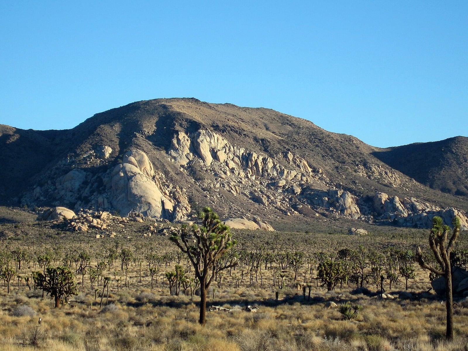
Joshua Tree National Park
A signed summit trail in Joshua Tree National Park, climbing from Park Boulevard to Ryan Mountain.
Robb Hannawacker / National Park Service · Public domain. Source & image licence

Santa Monica Mountains National Recreation Area
The highest point in the Santa Monica Mountains, climbed from the Mishe Mokwa trailhead along the Backbone Trail at Circle X Ranch.
Wasquewhat · CC BY-SA 4.0. Source & image licence

Angeles National Forest
A 50-foot single drop into a shallow plunge pool, 1.7 mi up Big Santa Anita Canyon. Shaded the entire way in. The work is all on the walk out.
U.S. Department of Agriculture / USDA USFS · CC BY 2.0. Source & image licence
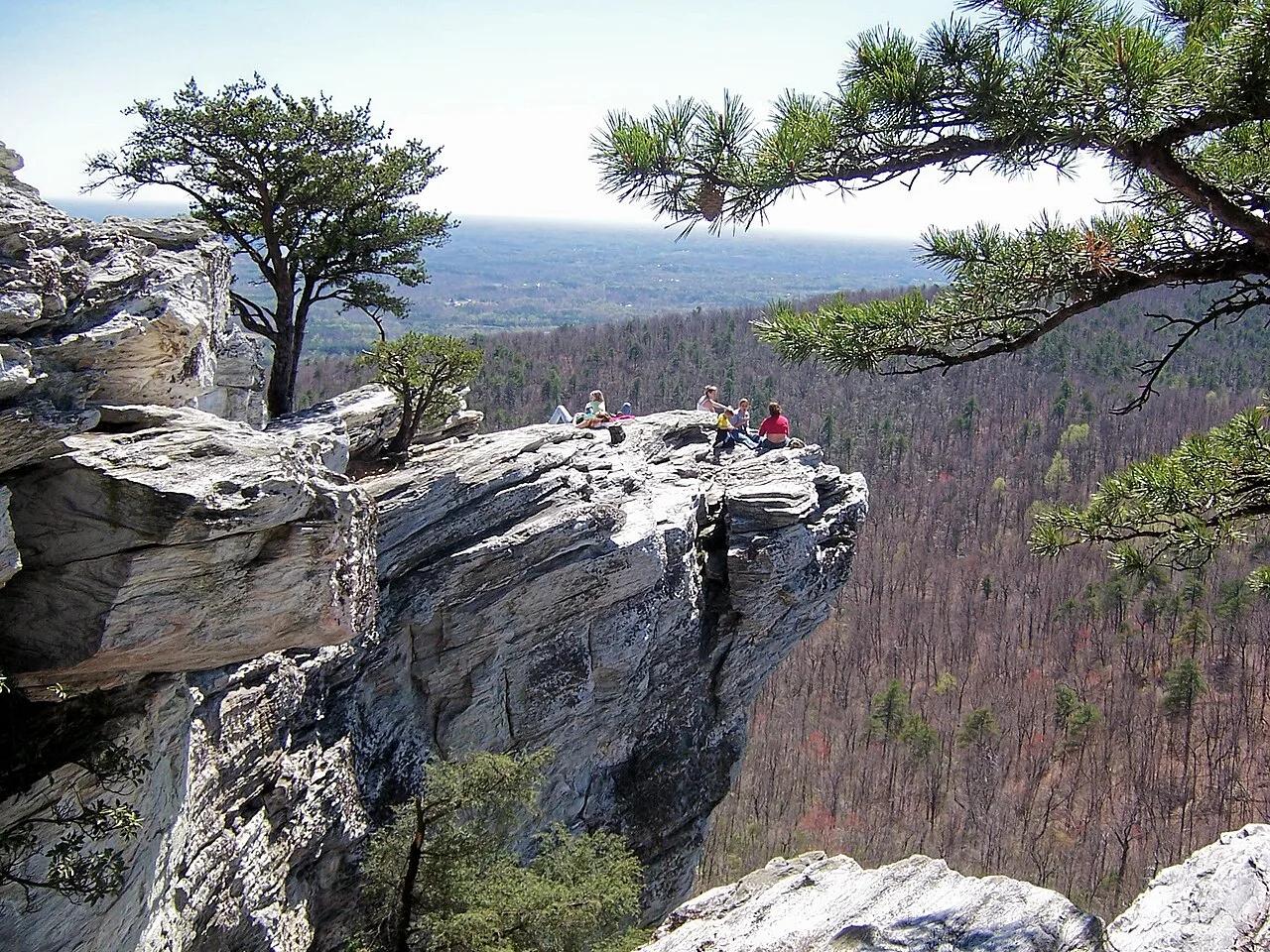
Hanging Rock State Park (Sauratown Mountains) · Appalachian & Blue Ridge · North Carolina
Isolated quartzite monadnock cliffs rising above the Piedmont with five spring-fed mountain waterfalls including Lower Cascades and Tory's Den.
Photo: Jacalyn Engler from Greensboro, United States · CC BY-SA 2.0
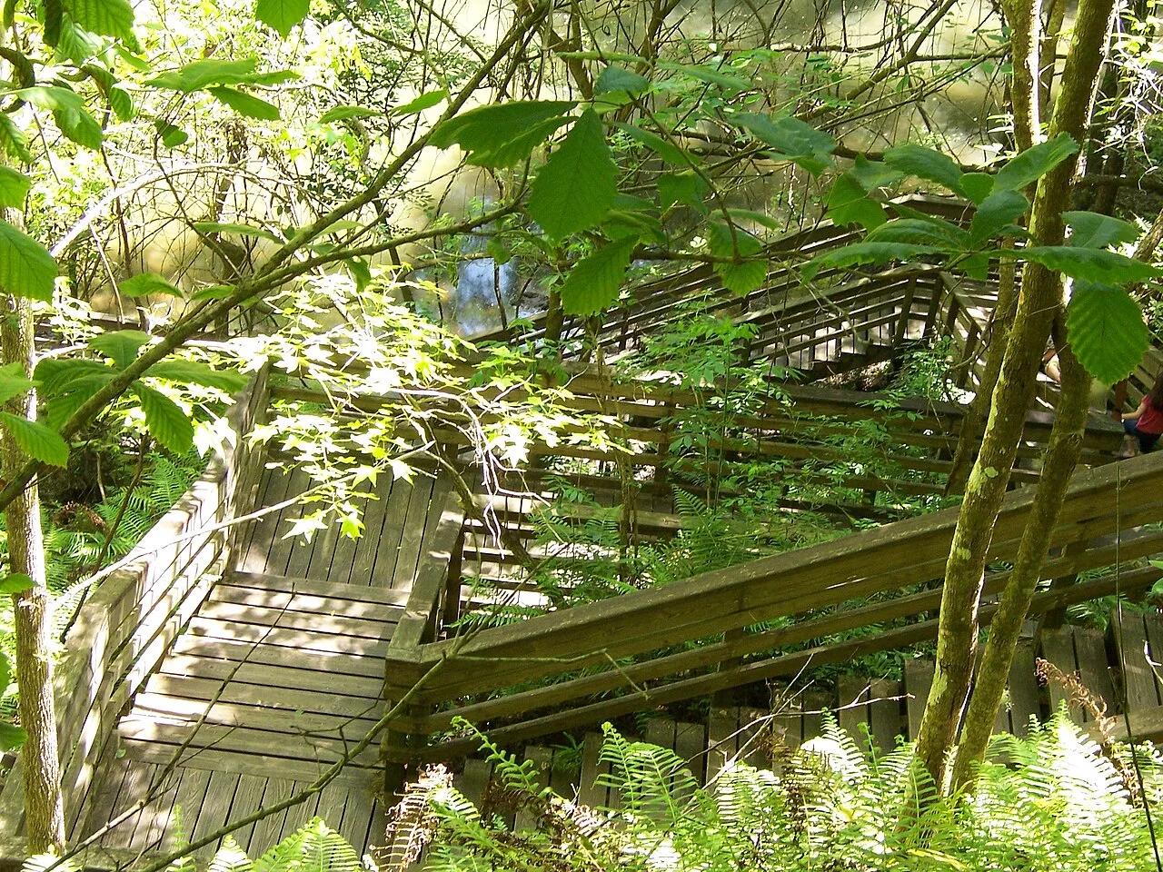
Devil's Millhopper Geological State Park (Gainesville) · Atlantic & Gulf Coasts · Florida
120-foot-deep, 500-foot-wide collapsed limestone karst sinkhole harboring a cool Appalachian-style miniature rainforest fed by 12 rim waterfalls.
Photo: Ken Watford · Public domain
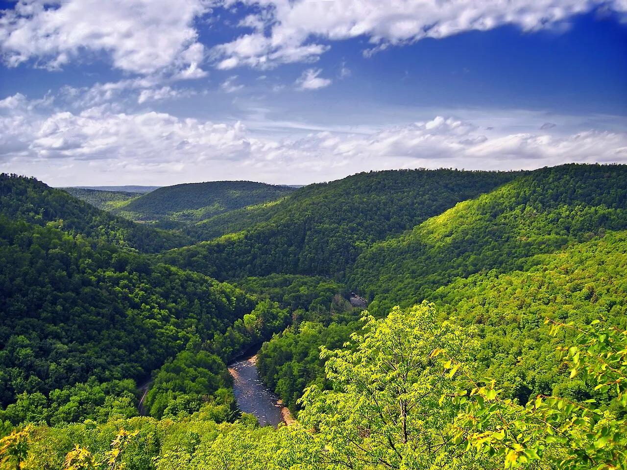
Worlds End State Park / Loyalsock State Forest · Endless Mountains · Pennsylvania
An S-shaped canyon carved 1,000 feet deep through the Endless Mountains plateau by the rushing waters of Loyalsock Creek.
Photo: Nicholas · CC BY 2.0
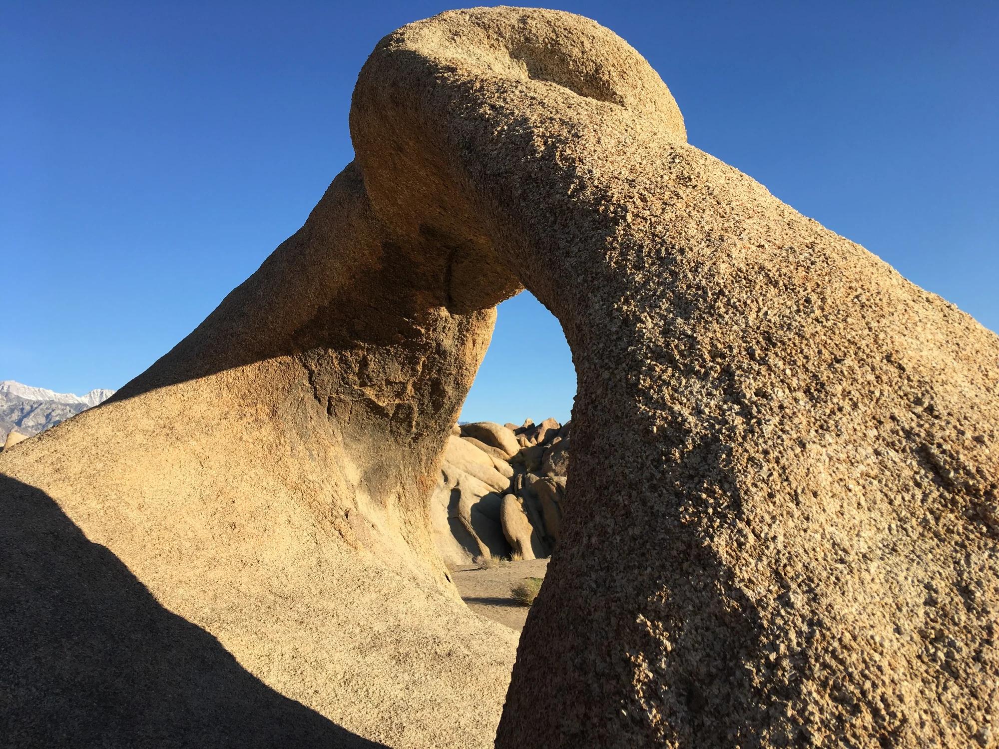
Eastern Sierra
Verified California arch in Eastern Sierra.
Photo: Clyde Charles Brown · CC BY-SA 4.0
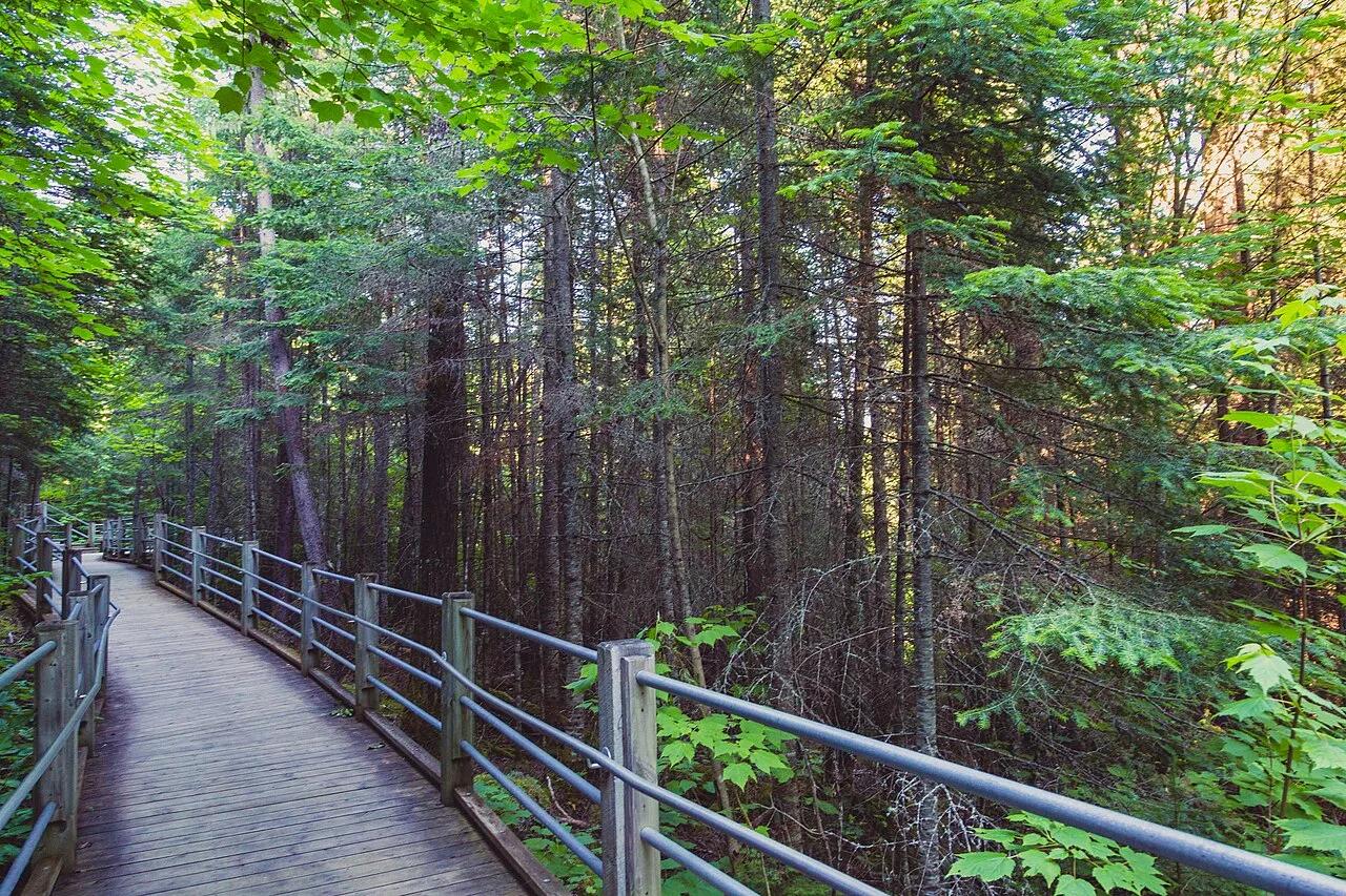
Grand Portage State Park · Arrowhead · Minnesota
Thunderous 120-foot waterfall roaring across a diabase sill on the US-Canada international border, navigated by an accessible riverside boardwalk.
Photo: Tony Webster from Minneapolis, Minnesota, United States · CC BY-SA 2.0
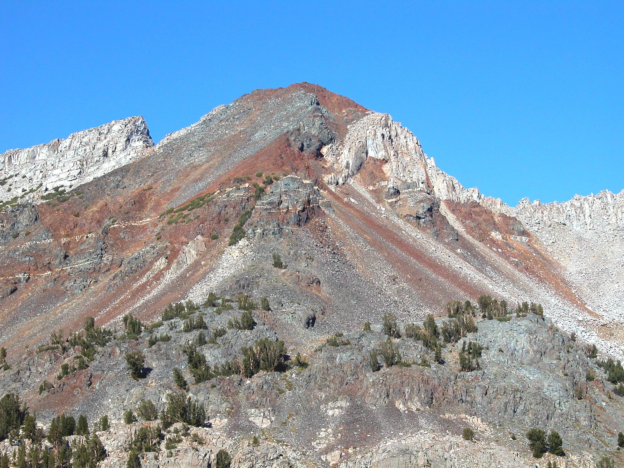
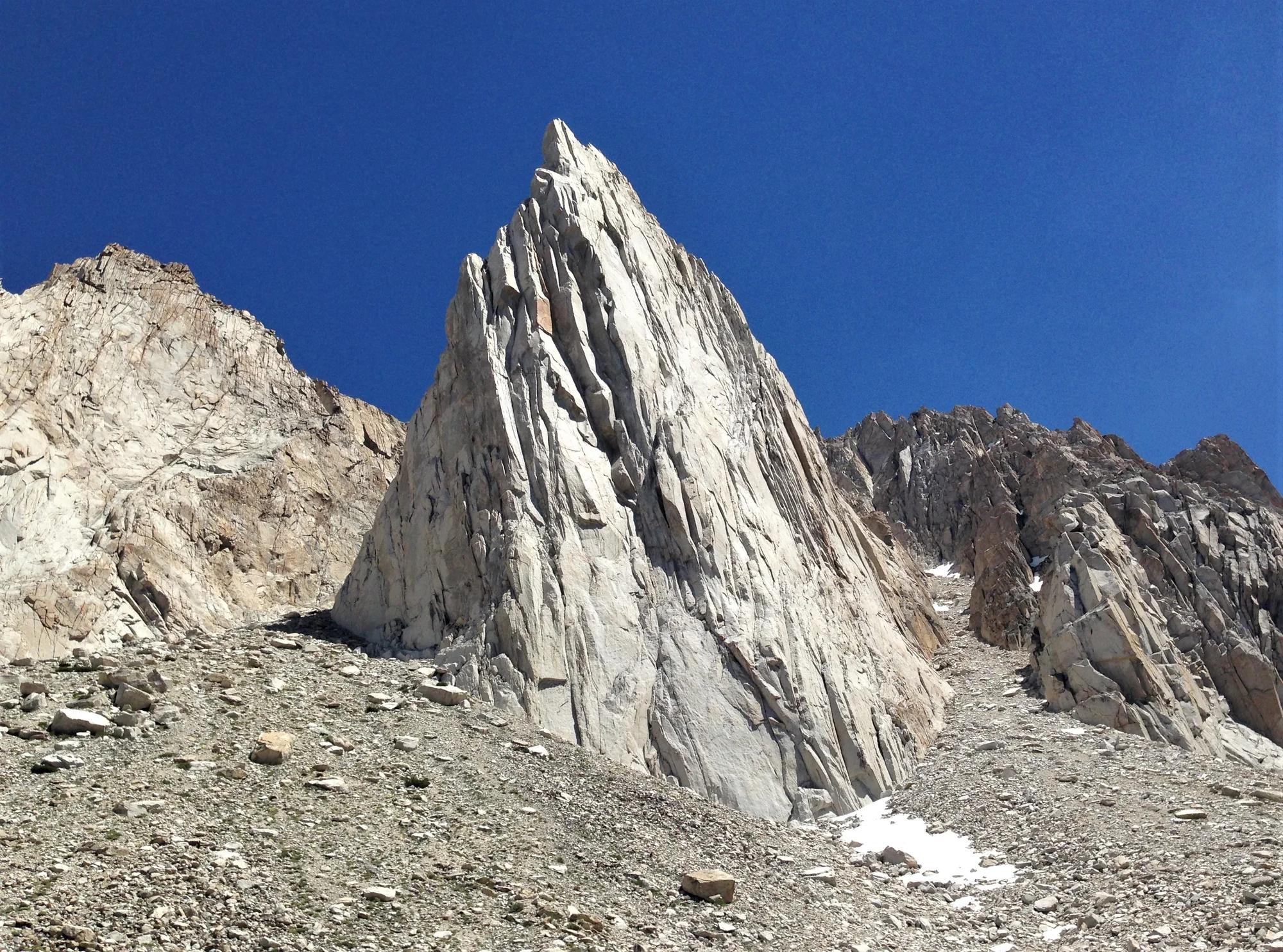
Inyo National Forest · Yosemite & Central Sierra
Verified California peak at 11,759 ft in Inyo National Forest (Yosemite & Central Sierra).
Photo: Feist, Michael - FunnyFence - catchthefuture · CC BY-SA 2.0
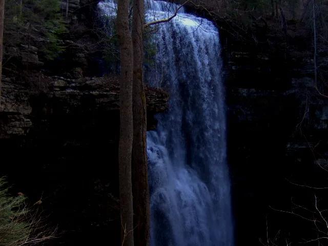
Virgin Falls State Natural Area · Appalachian & Blue Ridge · Tennessee
110-foot underground stream that emerges from a sandstone cave, plunges over a cliff, and disappears directly into another cave at the bottom.
Photo: Brian Stansberry · CC BY 3.0
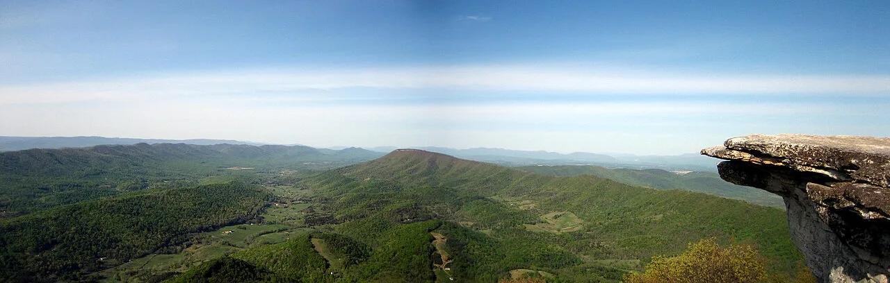
Jefferson National Forest (Catawba) · Appalachian & Blue Ridge · Virginia
35-foot vertical spire of Tuscarora quartzite jutting from the knife-edge crest of Cove Mountain along Virginia's Triple Crown.
Photo: Something Original (talk) · CC BY-SA 3.0
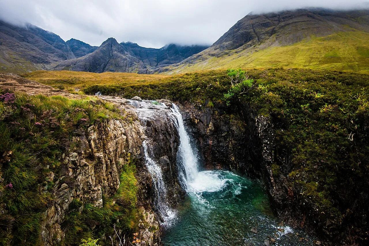
Glen Brittle (Black Cuillin Mountains) · UK & Ireland · United Kingdom
Crystal-clear blue and green cold-water waterfalls and natural rock pools fed by the River Brittle beneath the jagged Black Cuillin.
Photo: Wojtek Szkutnik · CC BY 3.0
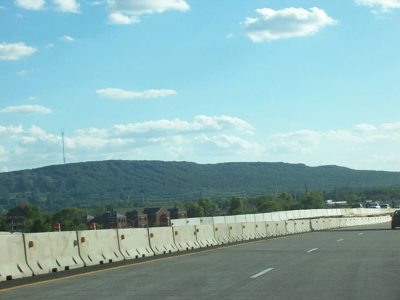
Rib Mountain State Park · Central Wisconsin · Wisconsin
Ancient 1.7-billion-year-old quartzite monadnock rising 800 feet above the Wisconsin River plains, offering 30-mile vistas from its historic observation tower.
Photo: User:Royalbroil · CC BY-SA 2.5
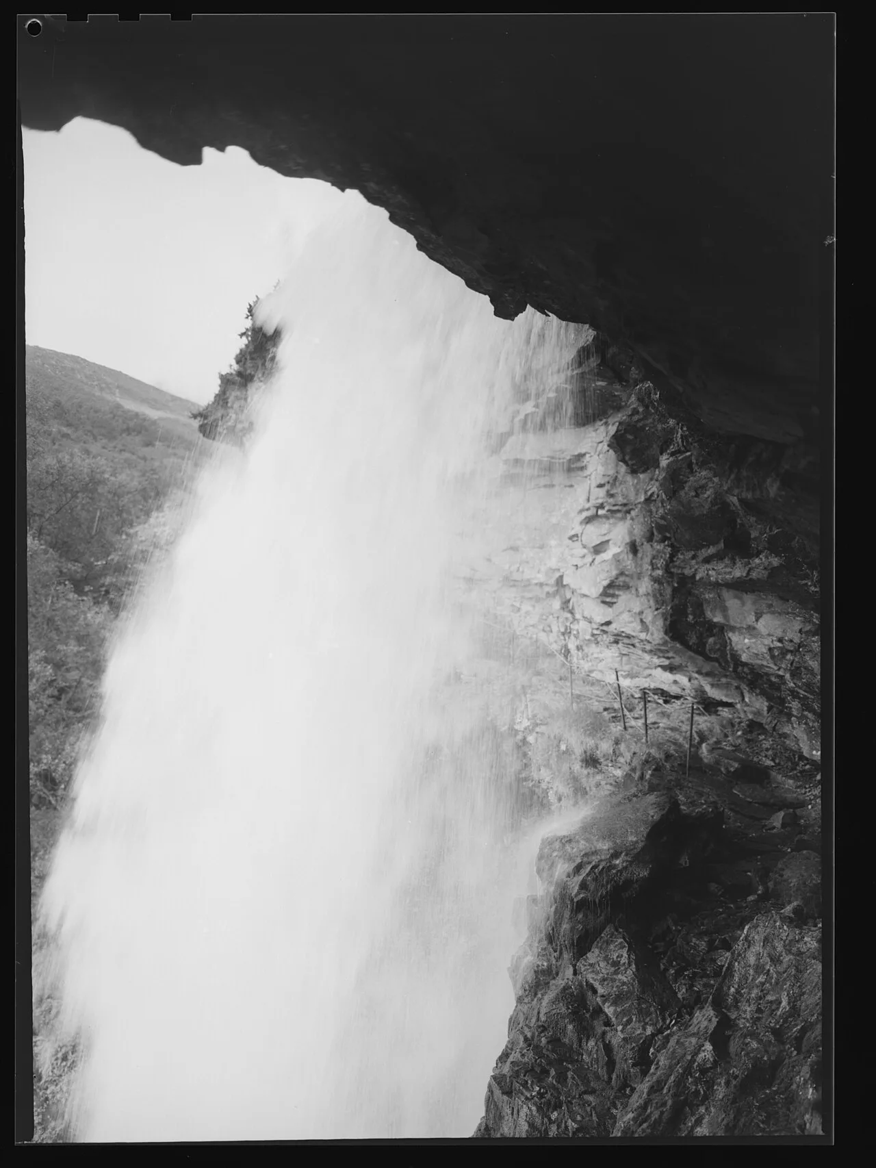
West Norwegian Fjords UNESCO World Heritage · Nordic & Arctic · Norway
Sherpa-built stone steps above Geirangerfjord leading to a thundering alpine waterfall with a safe rock ledge directly behind the curtain.
Photo: Jac Brun · Public domain
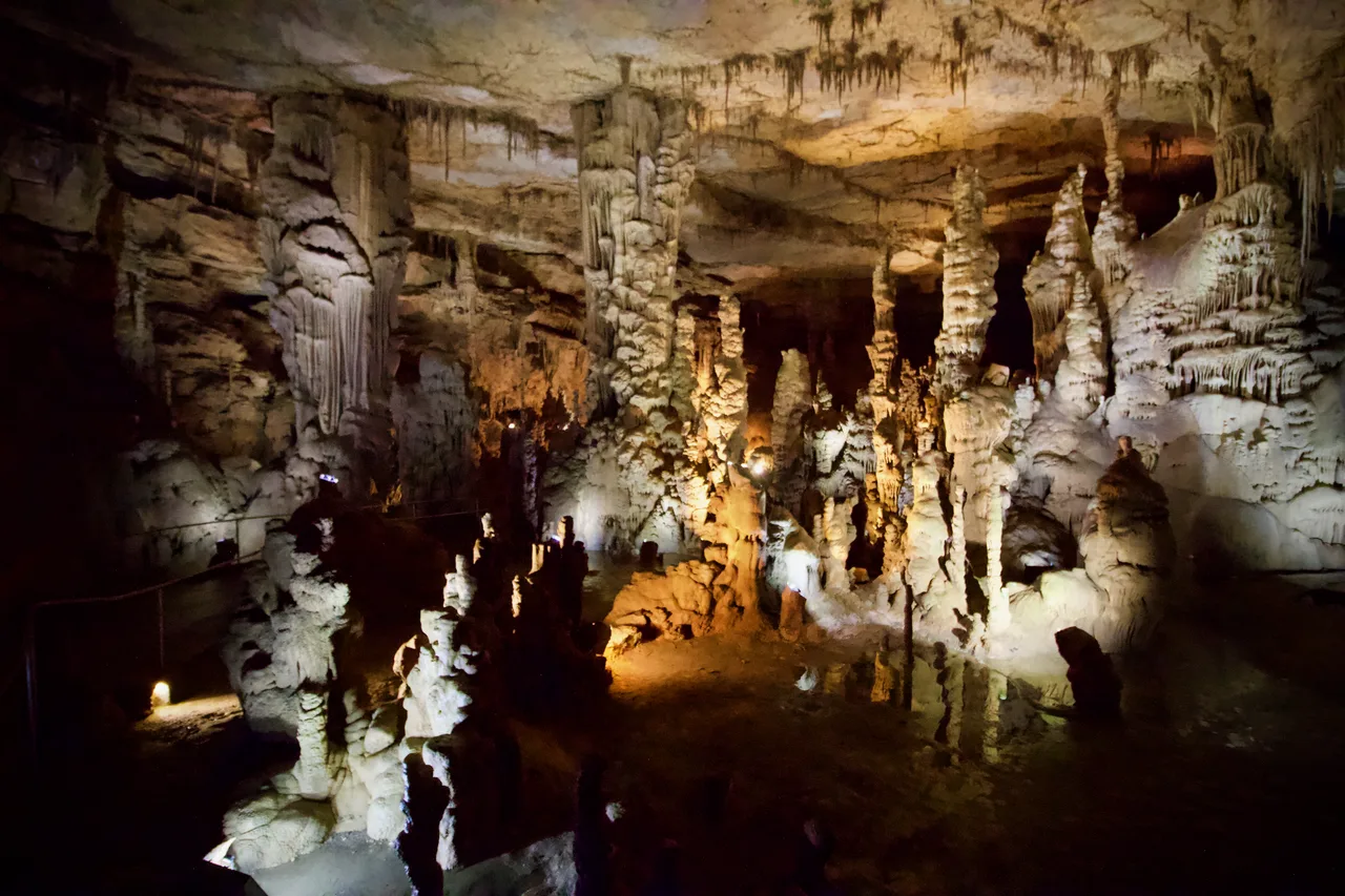
Cathedral Caverns State Park (Woodville) · Appalachian & Blue Ridge · Alabama
Massive 126-foot-wide, 25-foot-high cavern entrance opening into a subterranean limestone canyon housing a 45-foot stalagmite and underground waterfall.
Photo: Diegoandrade · CC BY-SA 4.0
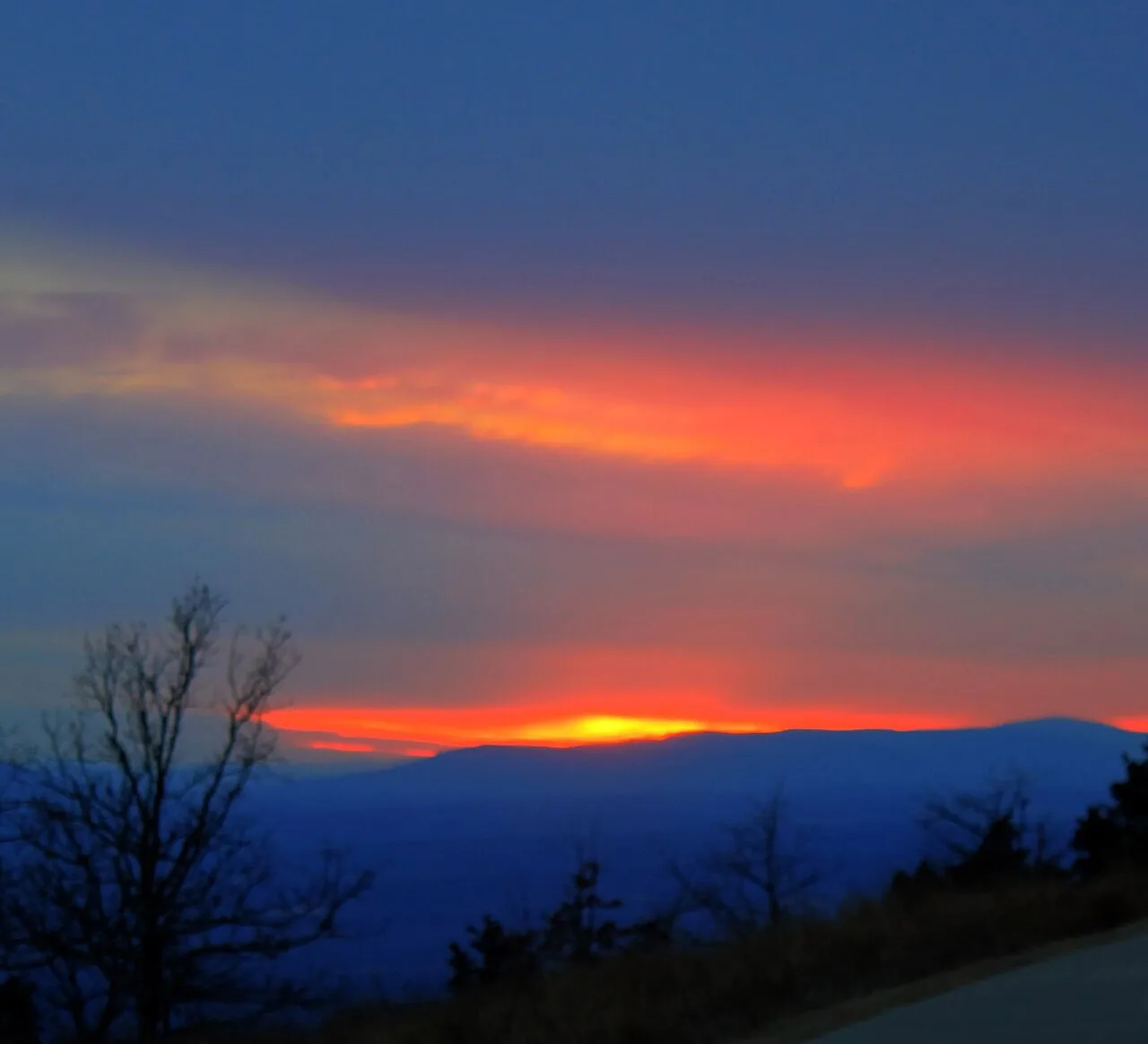
Mount Magazine State Park (Ozark-St. Francis NF) · South & Gulf Coast · Arkansas
Highest point in Arkansas (2,753 ft) crowned by sheer sandstone hang-gliding cliffs overlooking the Petit Jean River Valley.
Photo: Yinan Chen · Public domain