

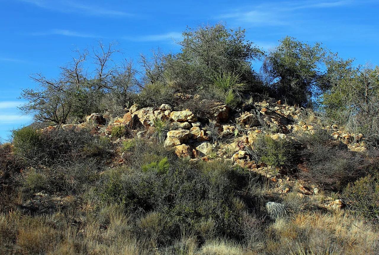
Big Bend National Park · Big Bend · Texas
The Window Trail (Chisos Basin)
Scenic descent through Oak Creek Canyon to a dramatic slickrock V-notch that frames panoramic desert sunset vistas across the Chihuahuan Desert.
- Route
- 5.5 mi
- Climb
- 951 ft
Browse & Discover
Canyon trails, waterfall walks, ridge traverses and high peaks.
694 of 2,051 places
Drag to pan. Double-click, pinch or scroll to zoom. Keyboard: arrow keys and +/−. Cards below remain available.
Loading map… Browse the spot cards below at any time.

Joshua Tree National Park
A short desert trail to the historic Barker Dam water-storage structure in Joshua Tree National Park.
Hannah Schwalbe / NPS · Public domain. Source & image licence

Angeles National Forest
The ruined mountain resort of the Mount Lowe Railway, on a front-range promontory above Altadena at the top of the Lower Sam Merrill Trail.
Lennonrodgers at en.wikipedia · Public domain. Source & image licence

Angeles National Forest
A high saddle and five-way trail junction on the Cucamonga Wilderness ridge, at the top of the steady climb up Icehouse Canyon.
Jason Hollinger · CC BY 2.0. Source & image licence

Joshua Tree National Park
One of the best-preserved stamp mills in Joshua Tree National Park, at the site of the Lost Horse gold mine.
Joseph from Cabin On The Road, USA · CC BY-SA 2.0. Source & image licence

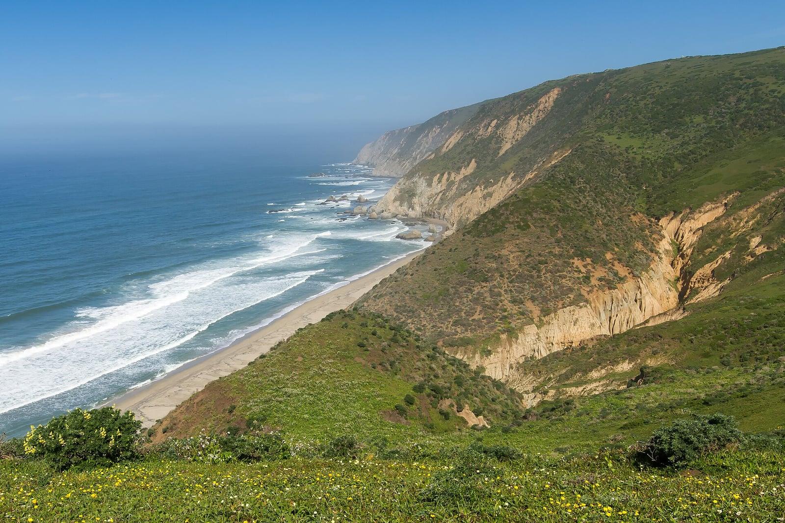
Point Reyes National Seashore
The northern tip of the Point Reyes peninsula, reached across the open bluffs of the Tomales Point Tule Elk Reserve.
Frank Schulenburg · CC BY-SA 4.0. Source & image licence

Santa Monica Mountains National Recreation Area
The ruins of the Roberts family ranch house at the end of the canyon-floor trail in Solstice Canyon, beside a small seasonal waterfall.
George Heras / Santa Monica Mountains National Recreation Area · Public domain. Source & image licence

Pfeiffer Big Sur State Park
An overlook above the Big Sur River valley, looking north over the redwoods toward Point Sur and the Pacific.
King of Hearts · CC BY-SA 3.0. Source & image licence

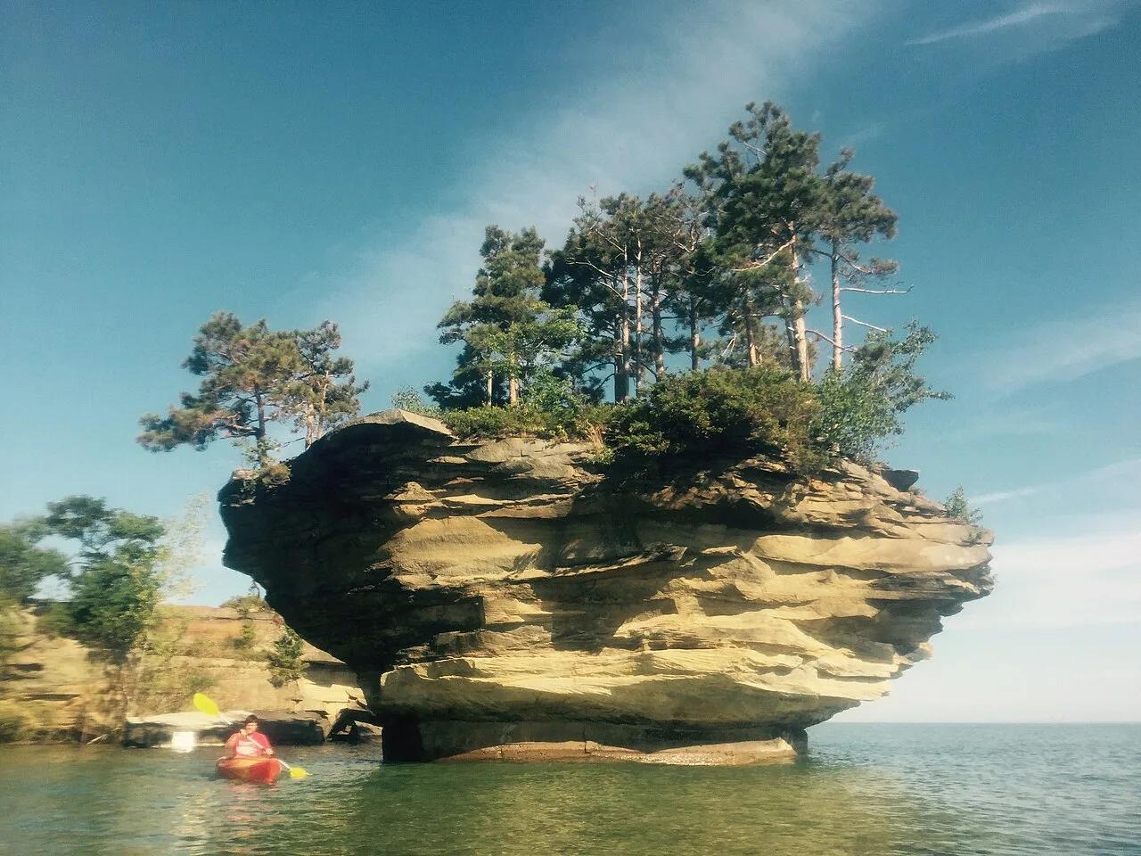
Pointe Aux Barques / Port Austin Waters · The Thumb · Michigan
Spectacular mushroom-shaped sea stack carved by Lake Huron wave action, crowned with 20-foot trees and reachable only by kayak along limestone sea caves.
Photo: thumbwind · CC BY 2.0

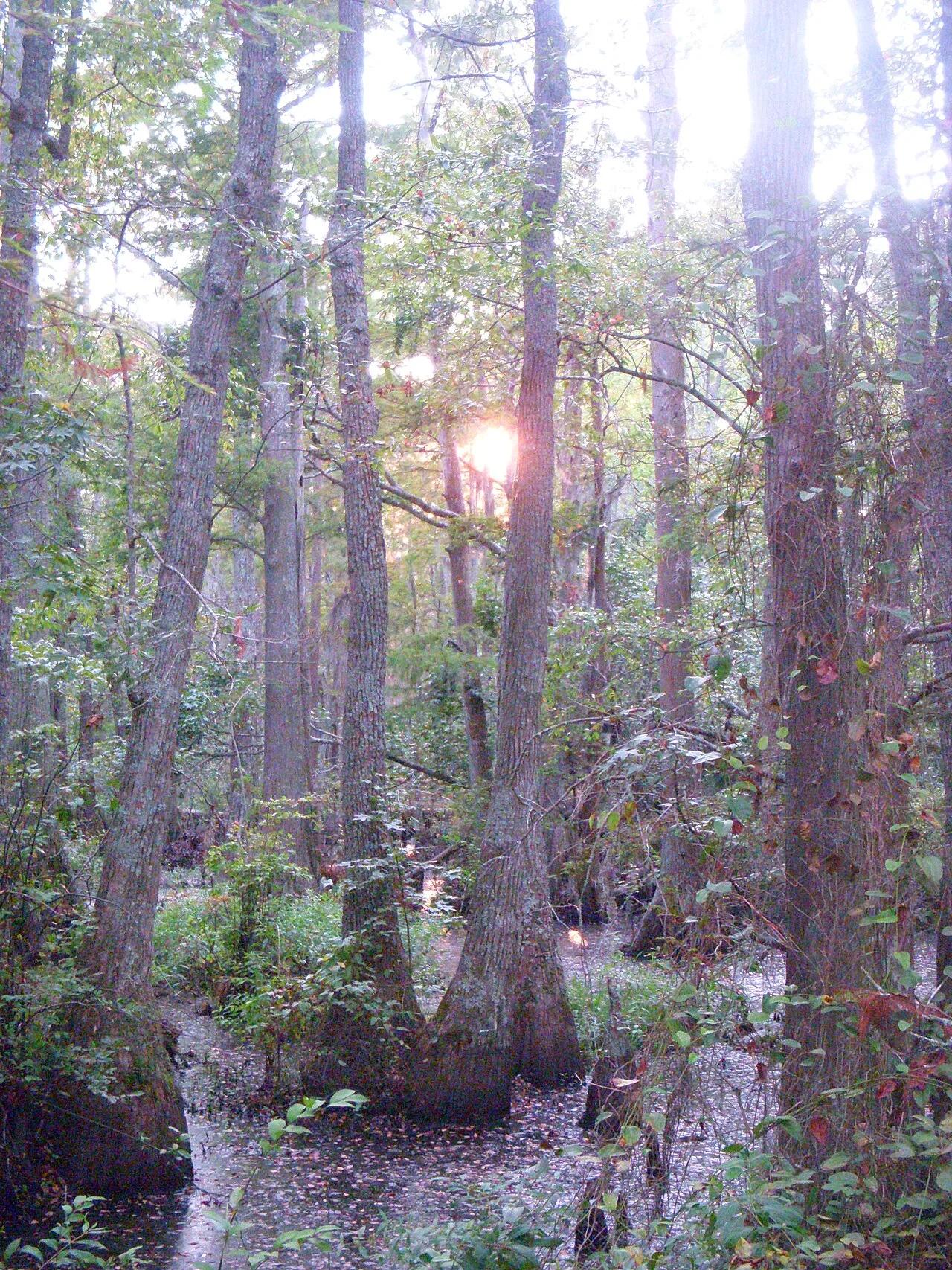
First Landing State Park (Virginia Beach) · Atlantic & Gulf Coasts · Virginia
Spanish-moss-draped bald cypress lagoons, Chesapeake Bay sand beaches, and the 6-mile Cape Henry bike trail at the mouth of the bay.
Photo: Virginia State Parks staff · CC BY 2.0

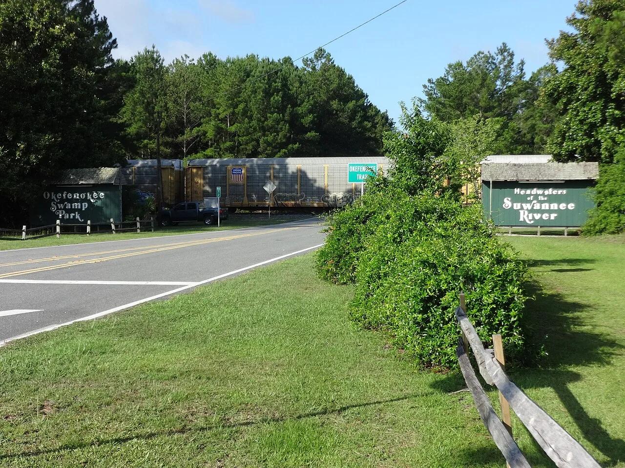
Okefenokee National Wildlife Refuge (Folkston) · Atlantic & Gulf Coasts · Georgia
402,000-acre blackwater peat bog wilderness explored via a 0.75-mile cypress boardwalk to a 40-foot observation tower and marked water trails.
Photo: Michael Rivera · CC BY-SA 4.0

Cheyenne Bottoms Wildlife Area (Great Bend) · Central Kansas · Kansas
The largest inland marsh in the contiguous United States (41,000 acres), serving as a globally crucial migration stop for hundreds of thousands of shorebirds.
Photo: Raymond M. Coveney, … · CC BY-SA 3.0

Ashfall Fossil Beds State Historical Park (Royal) · Northeast Nebraska · Nebraska
World-renowned 'Pompeii of North American wildlife' where complete skeletons of three-toed horses and rhinos lie preserved in volcanic ash.
Photo: James St. John · CC BY 2.0

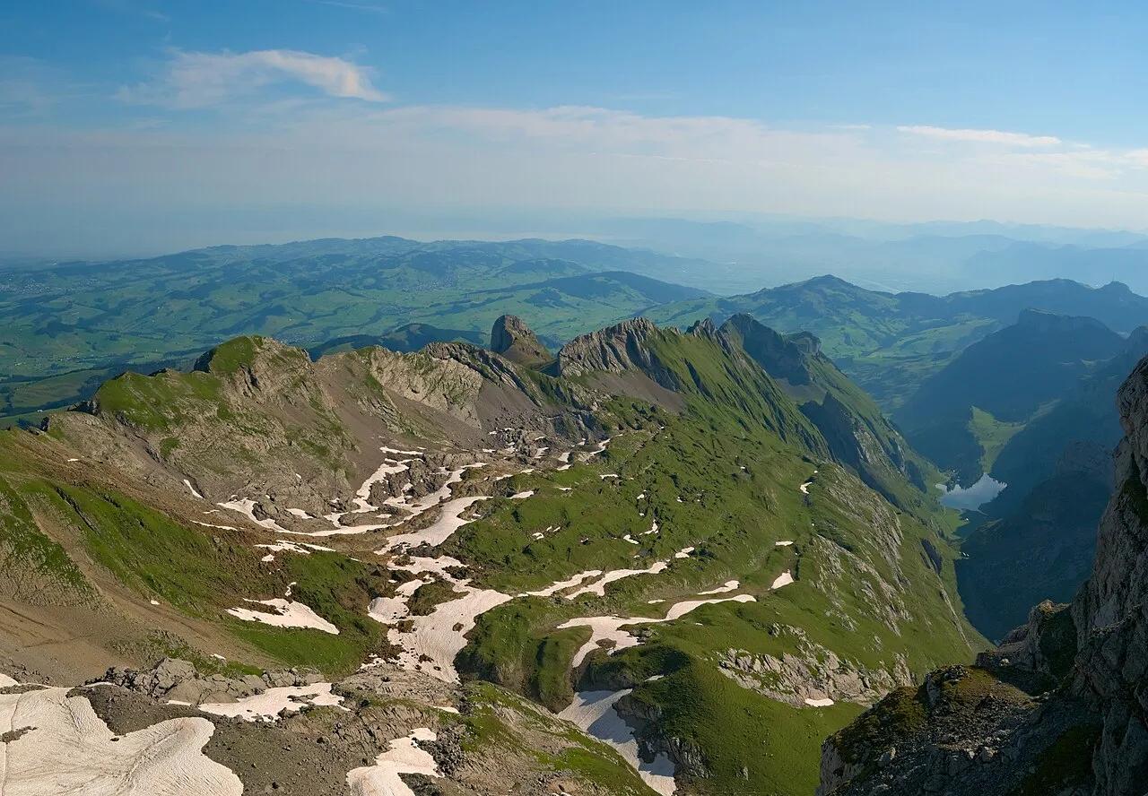
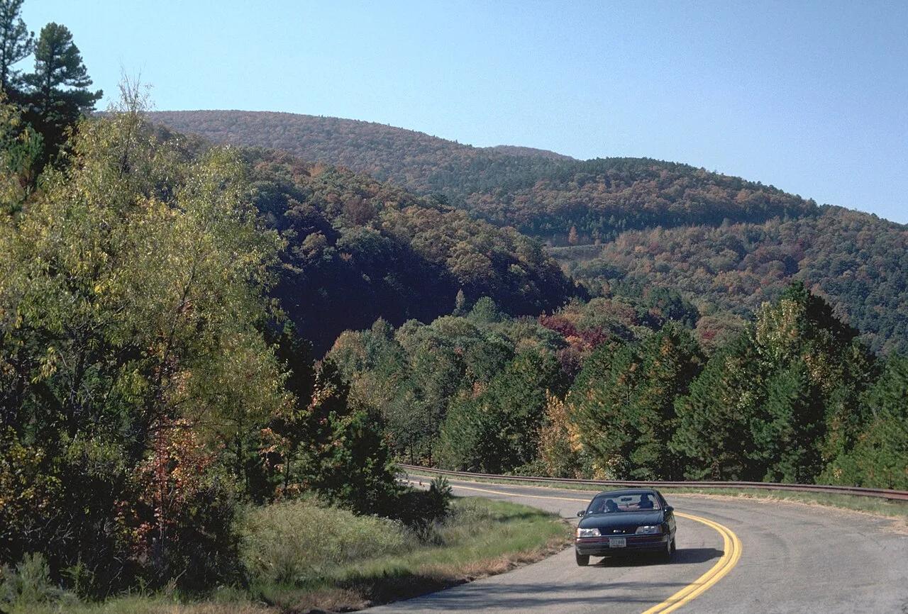
Ouachita National Forest (Talihina) · Ouachita Mountains · Oklahoma
Panoramic ridgecrest spine of the ancient Ouachita Mountains along the Talimena National Scenic Byway, commanding vistas across emerald oak-pine valleys.
Photo: Unknown authorUnknown author or not provided · Public domain

Cache River State Natural Area (Belknap) · Midwest & Great Lakes · Illinois
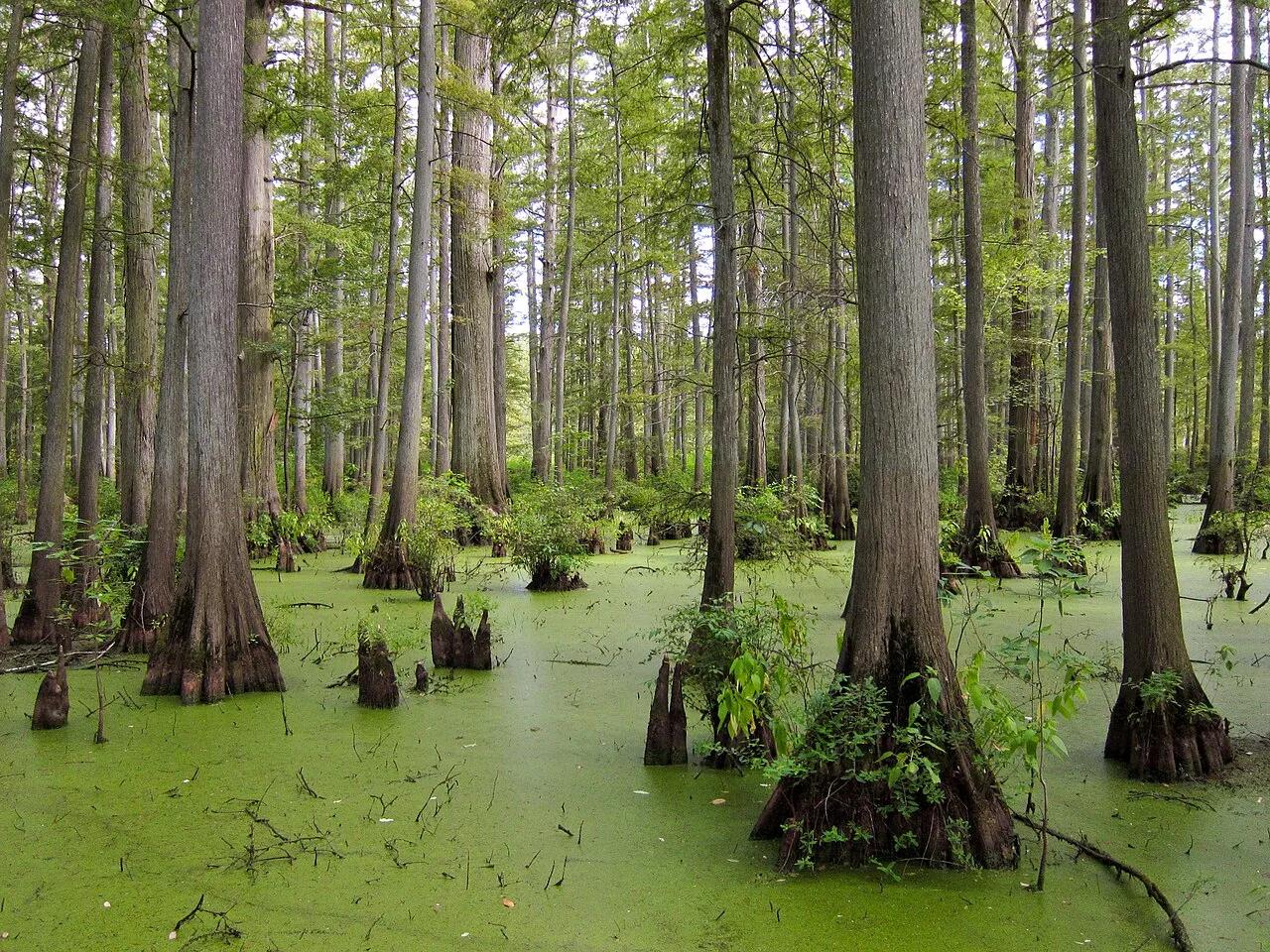
Floating boardwalk into a 1,000-year-old Tupelo and Bald Cypress wetland sanctuary at the northernmost edge of the Gulf Coastal Plain.
Photo: Miguel.v · CC BY-SA 3.0

Preparation Canyon State Park (Moorhead) · Great Plains & Heartland · Iowa
Knife-edge windblown glacial silt ridges rising 200 feet above the Missouri River Valley—a landform rare outside China's Yellow River plateau.
Photo: Unknown authorUnknown author or not provided · Public domain

Barn Bluff Park (Red Wing) · Mississippi River Valley · Minnesota
Iconic 340-foot limestone bluff soaring above the Mississippi River with native goat prairie slopes, falcon nesting ledges, and views of Lake Pepin.
Photo: JJ Harrison (https://www.jjharrison.com.au/) · CC BY-SA 3.0

Radnor Lake State Natural Area (Nashville) · Appalachian & Blue Ridge · Tennessee
1,368-acre protected Class II Natural Area sanctuary of car-free lakeside boardwalks, bald eagle observation decks, and steep Overton Hills ridges.
Photo: Brian Stansberry · CC BY 3.0

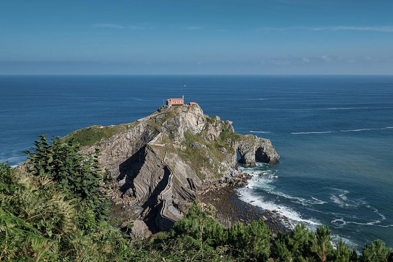
Biotopo Protegido de Gaztelugatxe (Bermeo) · Mediterranean Europe · Spain
241-step stone causeway snaking across wave-battered Bay of Biscay sea arches to a 10th-century island hermitage.
Photo: Jules Verne Times Two · CC BY-SA 4.0

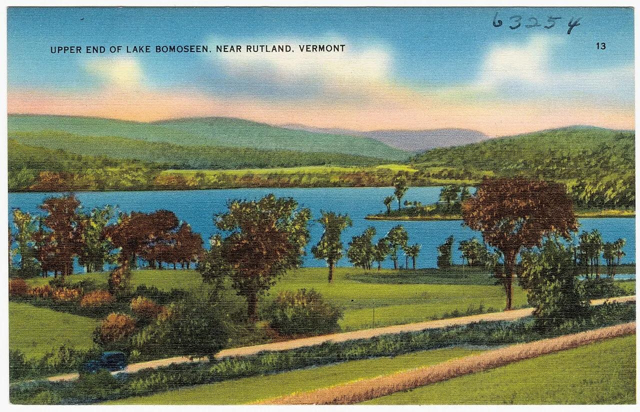
Lake Bomoseen State Park · Rutland & Slate Valley · Vermont
Vermont's largest lake contained entirely within its borders features historic 19th-century slate quarries and quiet kayak waterways.
Photo: Tichnor Brothers, Publisher · Public domain

The Trustees of Reservations (Chesterfield Gorge) · Berkshires · Massachusetts
Thirty-foot sheer metamorphic granite canyon walls carved by the East Branch of the Westfield River, Massachusetts's first National Wild and Scenic River.
Photo: Tom Walsh · CC BY-SA 3.0

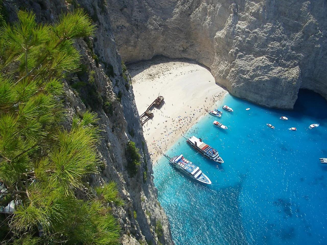
Volimes Northwest Coast · Mediterranean Europe · Greece
650-foot sheer white limestone sea cliffs encircling an electric-blue Ionian cove accessible by clifftop footpath.
Photo: No machine-readable author provided. MGD assumed (based on copyright claims). · Public domain