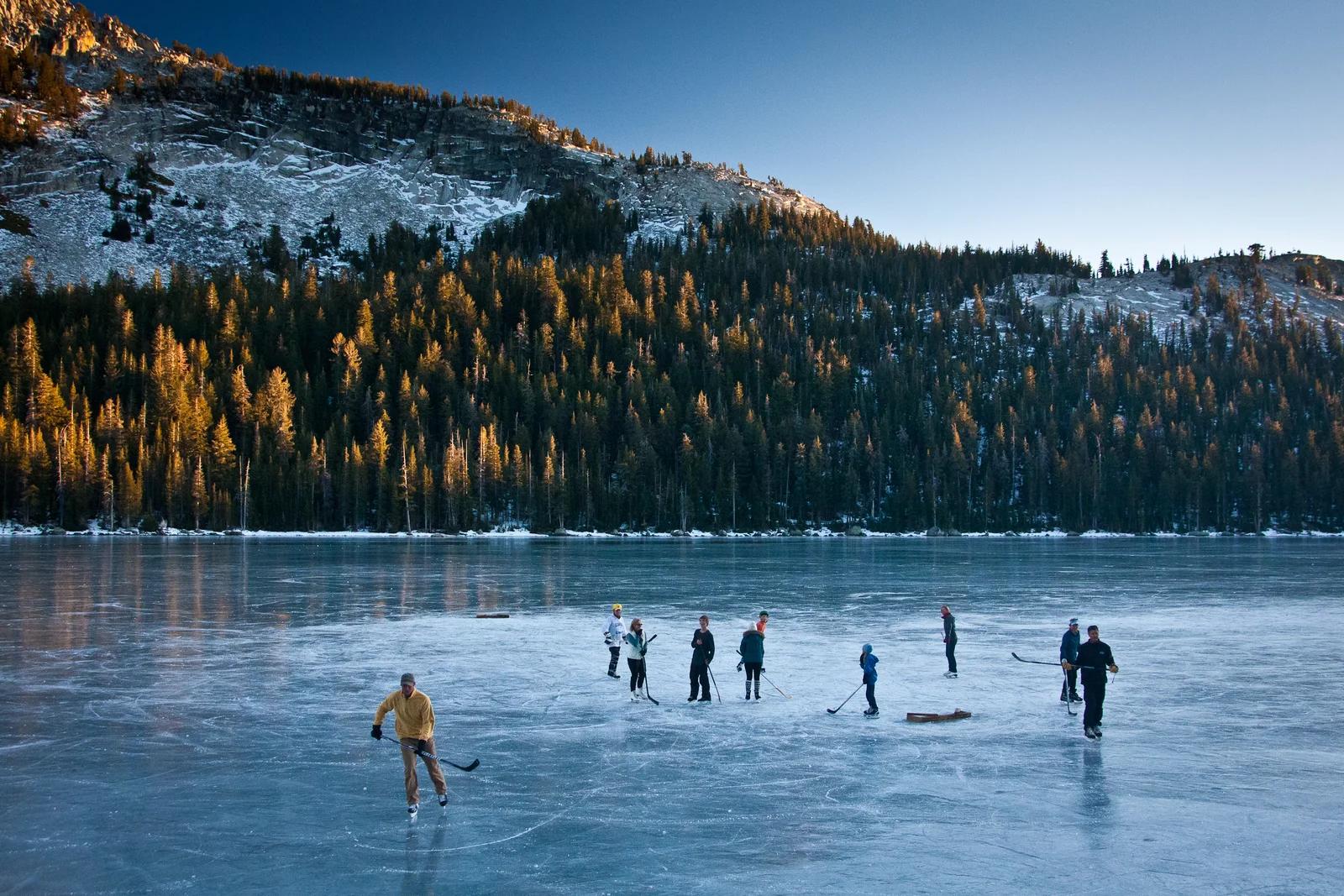
Lake
Yosemite National Park · Yosemite & Central Sierra
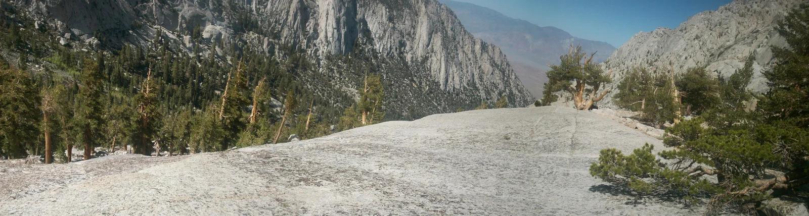
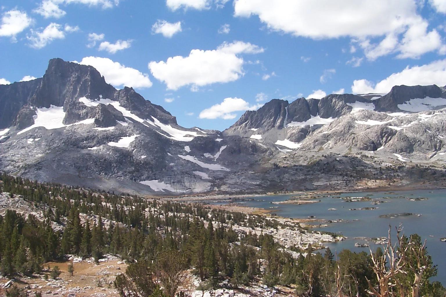
Tenaya Lake
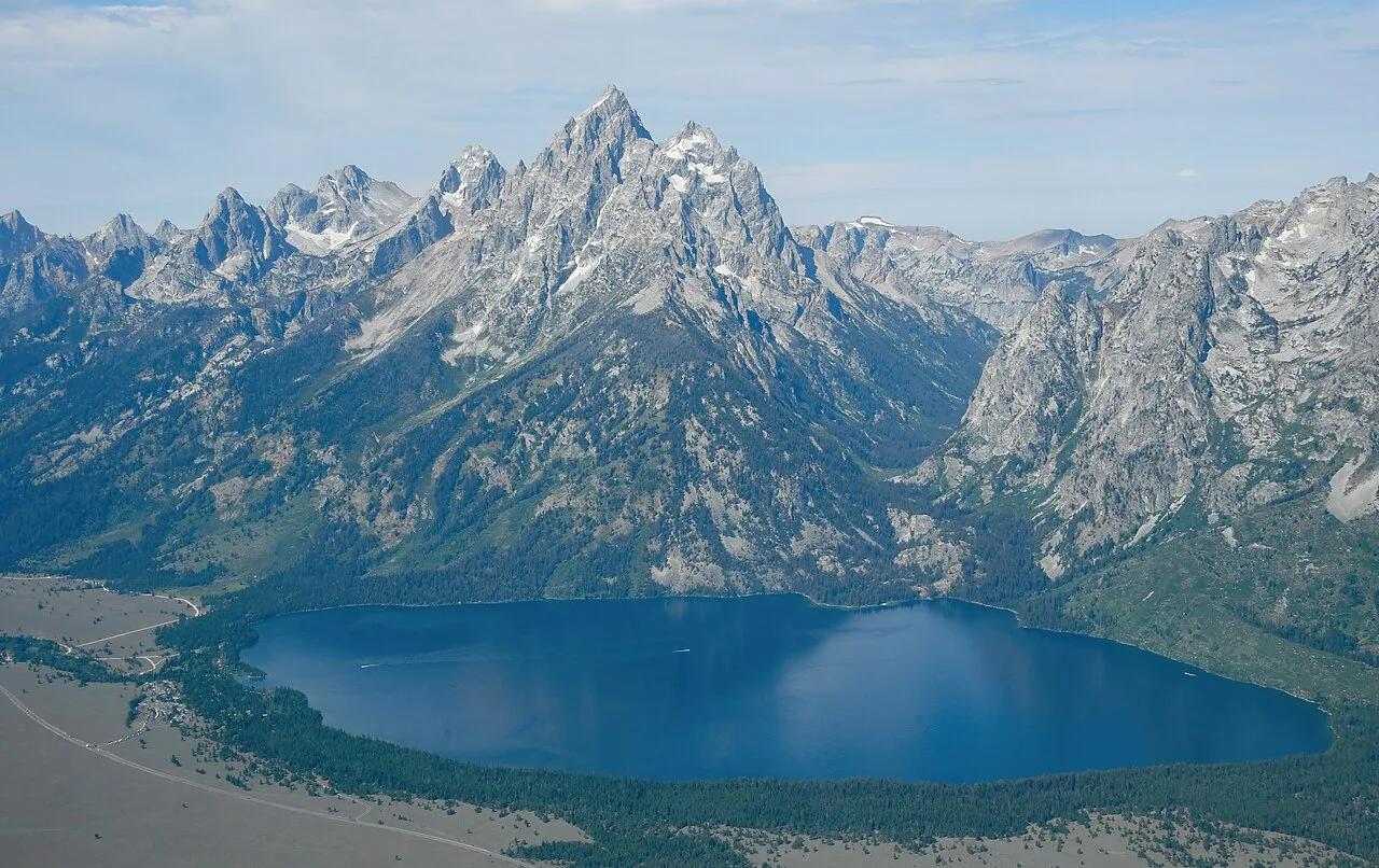
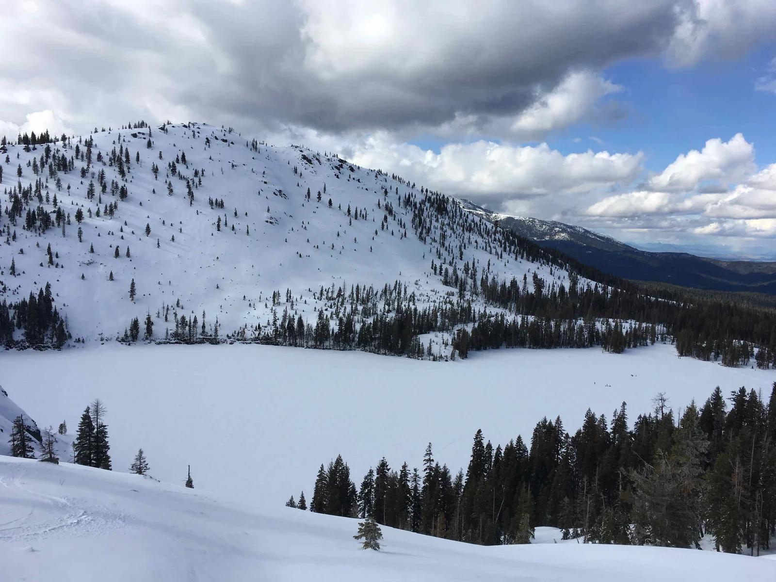
The famed 'Jewel of the High Country' in Yosemite, framed by gleaming granite domes and sandy alpine beaches along Tioga Pass.
- Route
- 2.5 mi
- Climb
- 98 ft
Browse & Discover
Canyon trails, waterfall walks, ridge traverses and high peaks.
694 of 2,051 places
Drag to pan. Double-click, pinch or scroll to zoom. Keyboard: arrow keys and +/−. Cards below remain available.
Loading map… Browse the spot cards below at any time.

Joshua Tree National Park
A short desert trail to the historic Barker Dam water-storage structure in Joshua Tree National Park.
Hannah Schwalbe / NPS · Public domain. Source & image licence

Angeles National Forest
The ruined mountain resort of the Mount Lowe Railway, on a front-range promontory above Altadena at the top of the Lower Sam Merrill Trail.
Lennonrodgers at en.wikipedia · Public domain. Source & image licence

Angeles National Forest
A high saddle and five-way trail junction on the Cucamonga Wilderness ridge, at the top of the steady climb up Icehouse Canyon.
Jason Hollinger · CC BY 2.0. Source & image licence

Joshua Tree National Park
One of the best-preserved stamp mills in Joshua Tree National Park, at the site of the Lost Horse gold mine.
Joseph from Cabin On The Road, USA · CC BY-SA 2.0. Source & image licence
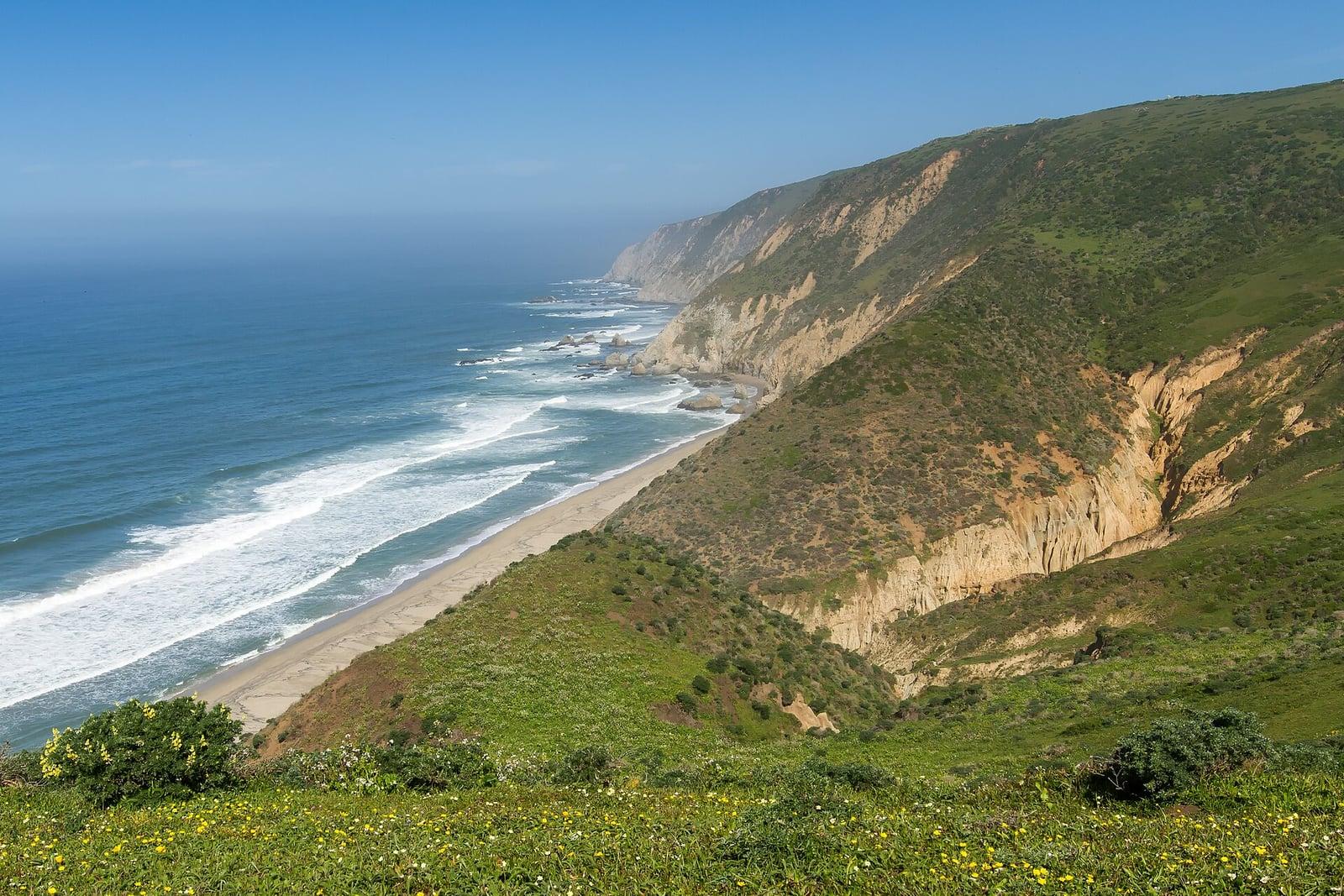
Point Reyes National Seashore
The northern tip of the Point Reyes peninsula, reached across the open bluffs of the Tomales Point Tule Elk Reserve.
Frank Schulenburg · CC BY-SA 4.0. Source & image licence

Santa Monica Mountains National Recreation Area
The ruins of the Roberts family ranch house at the end of the canyon-floor trail in Solstice Canyon, beside a small seasonal waterfall.
George Heras / Santa Monica Mountains National Recreation Area · Public domain. Source & image licence

Pfeiffer Big Sur State Park
An overlook above the Big Sur River valley, looking north over the redwoods toward Point Sur and the Pacific.
King of Hearts · CC BY-SA 3.0. Source & image licence
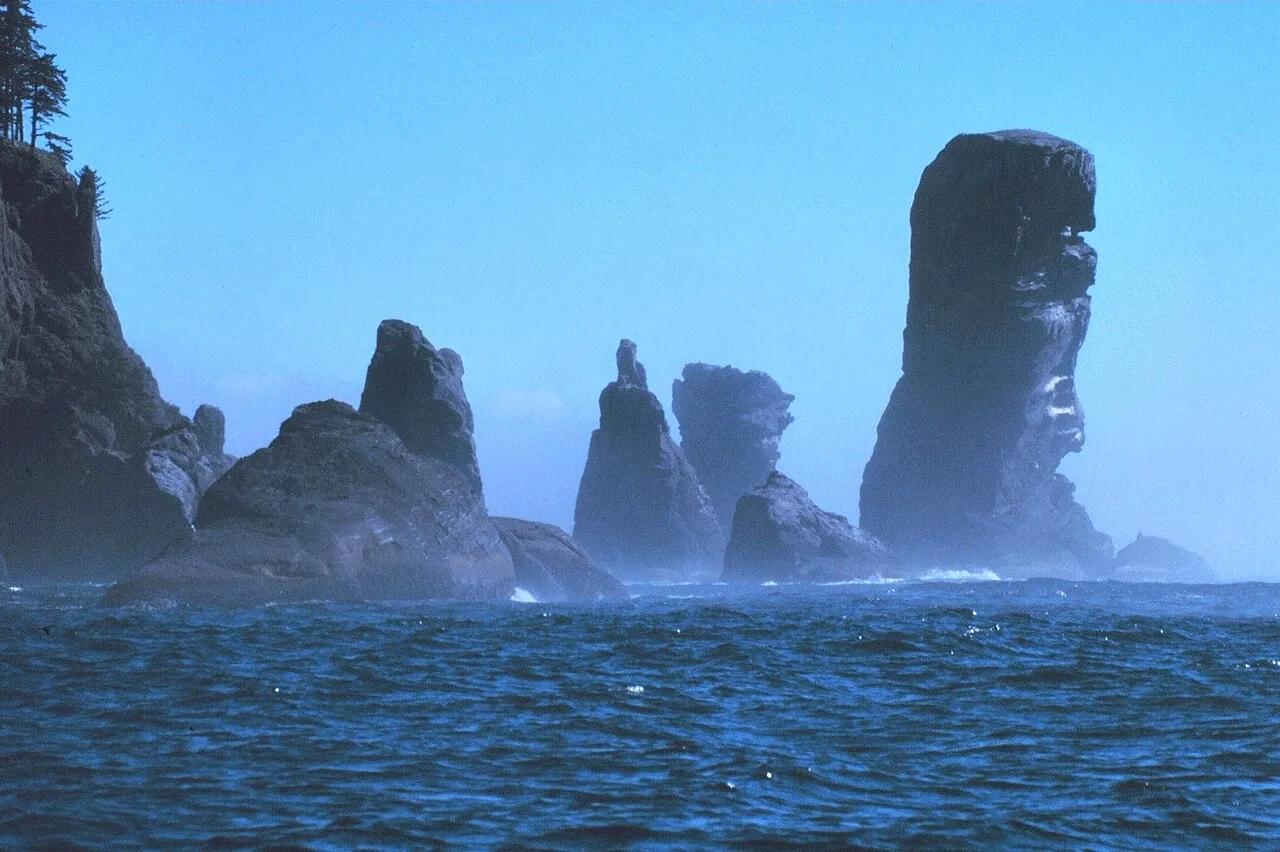
Makah Reservation · Pacific Northwest · Washington
Cedar boardwalk through Sitka spruce rainforest to sea caves and Tatoosh Island at the entrance to the Strait of Juan de Fuca.
Photo: National Oceanic and Atmospheric Administraion · Public domain
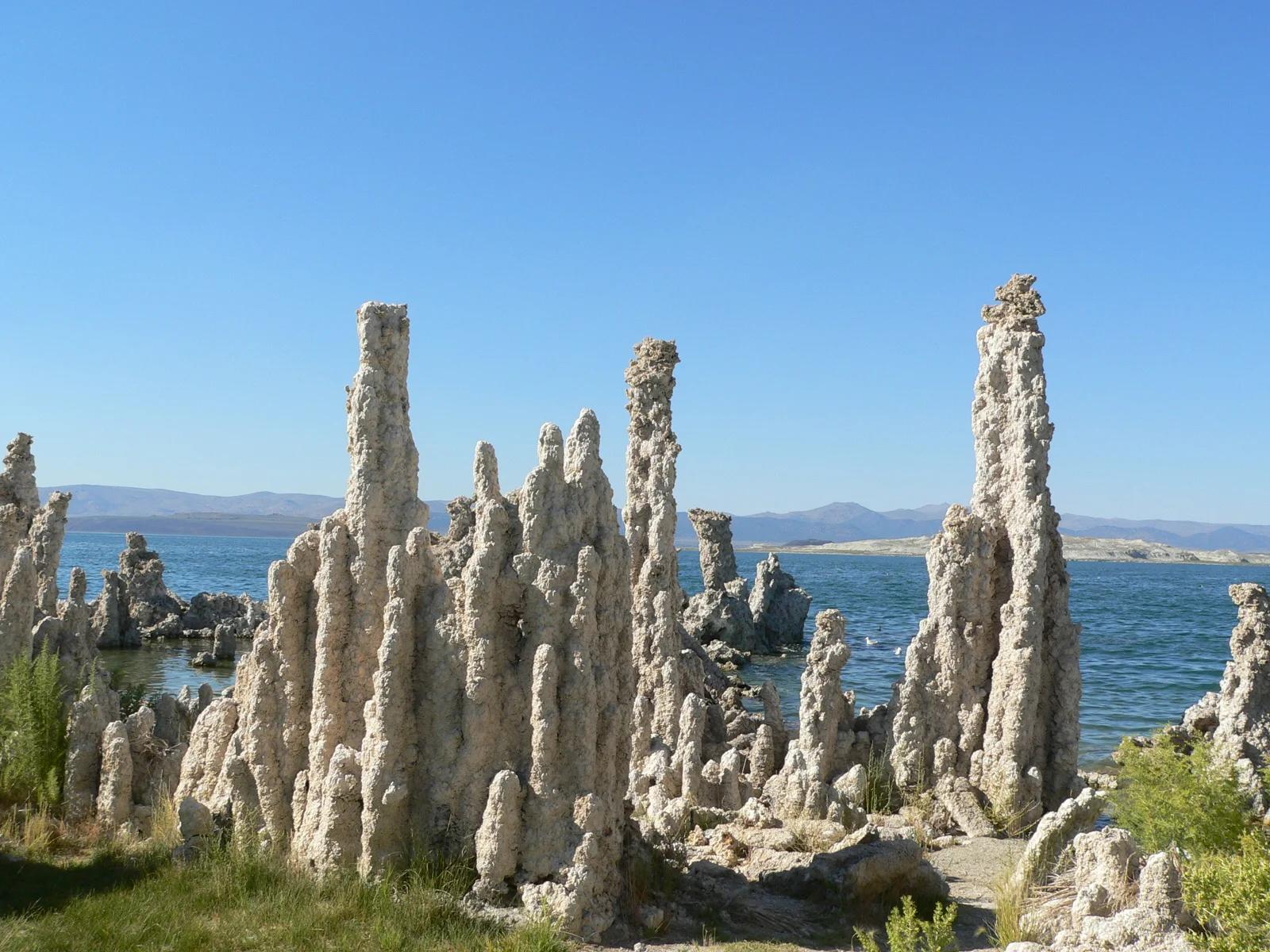
Mono Lake Tufa State Natural Reserve · Eastern Sierra
Surreal limestone tufa spires rising like alien towers from an ancient hyper-saline lake against the backdrop of the Sierra Nevada escarpment.
Photo: Yukinobu Zengame from Cupertino, United States · CC BY 2.0
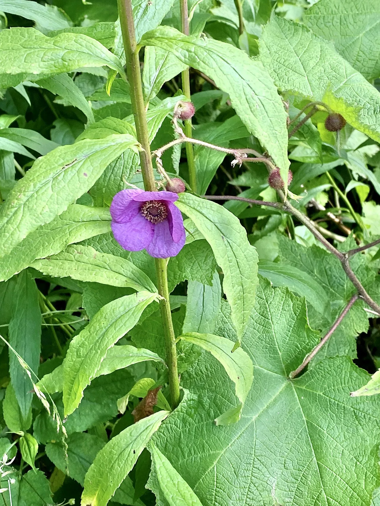
Blue Ridge Parkway / Grandfather Mountain · Appalachian & Blue Ridge · North Carolina
Cantilevered wooden boardwalk protecting rare high-altitude sedge and heller's blazing star across jagged Grandfather Mountain rocky crags.
Photo: w_lemay · CC BY-SA 2.0
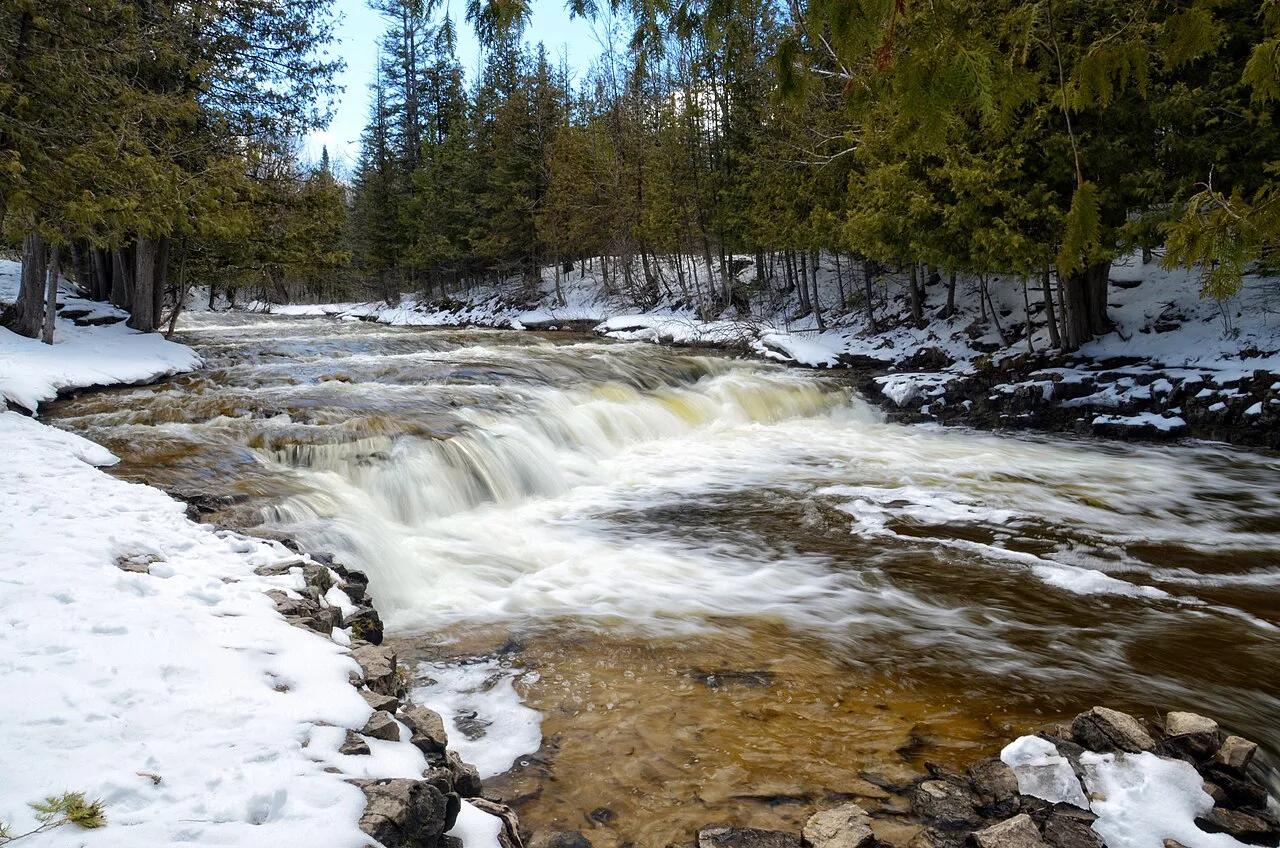
Ocqueoc Falls State Forest Campground · Northern Lower Peninsula · Michigan
The only universally accessible waterfall in the United States and the largest waterfall in Michigan's Lower Peninsula, cascading over limestone bedrock ledges.
Photo: Tony Faiola from Mid-Michigan, U.S.A. · CC BY 2.0
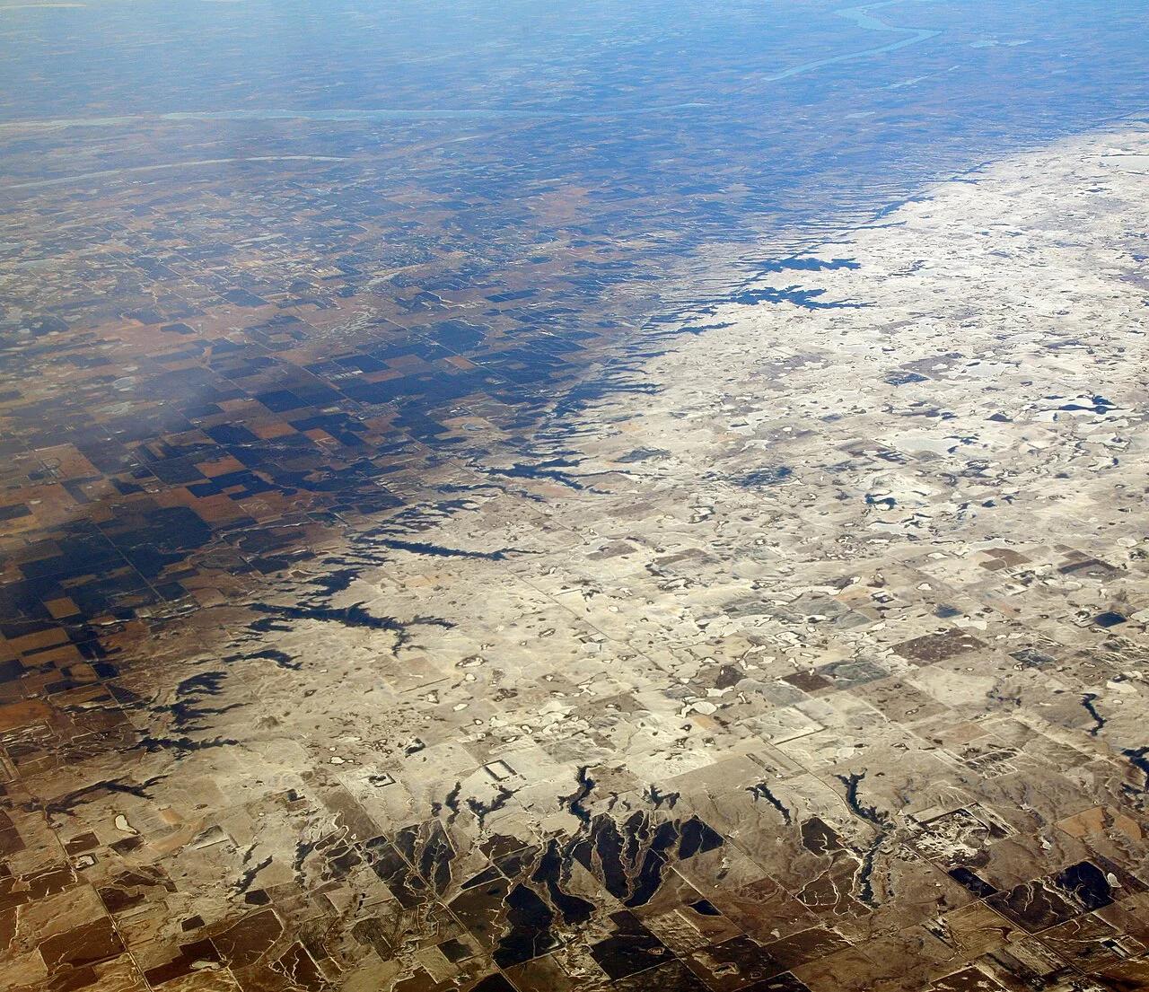
Sica Hollow State Park (Coteau des Prairies) · Great Plains & Heartland · South Dakota
Iron-oxide-stained crimson springs and maple-basswood ravines cutting into the eastern escarpment of the Coteau des Prairies plateau.
Photo: Doc Searls · CC BY 2.0
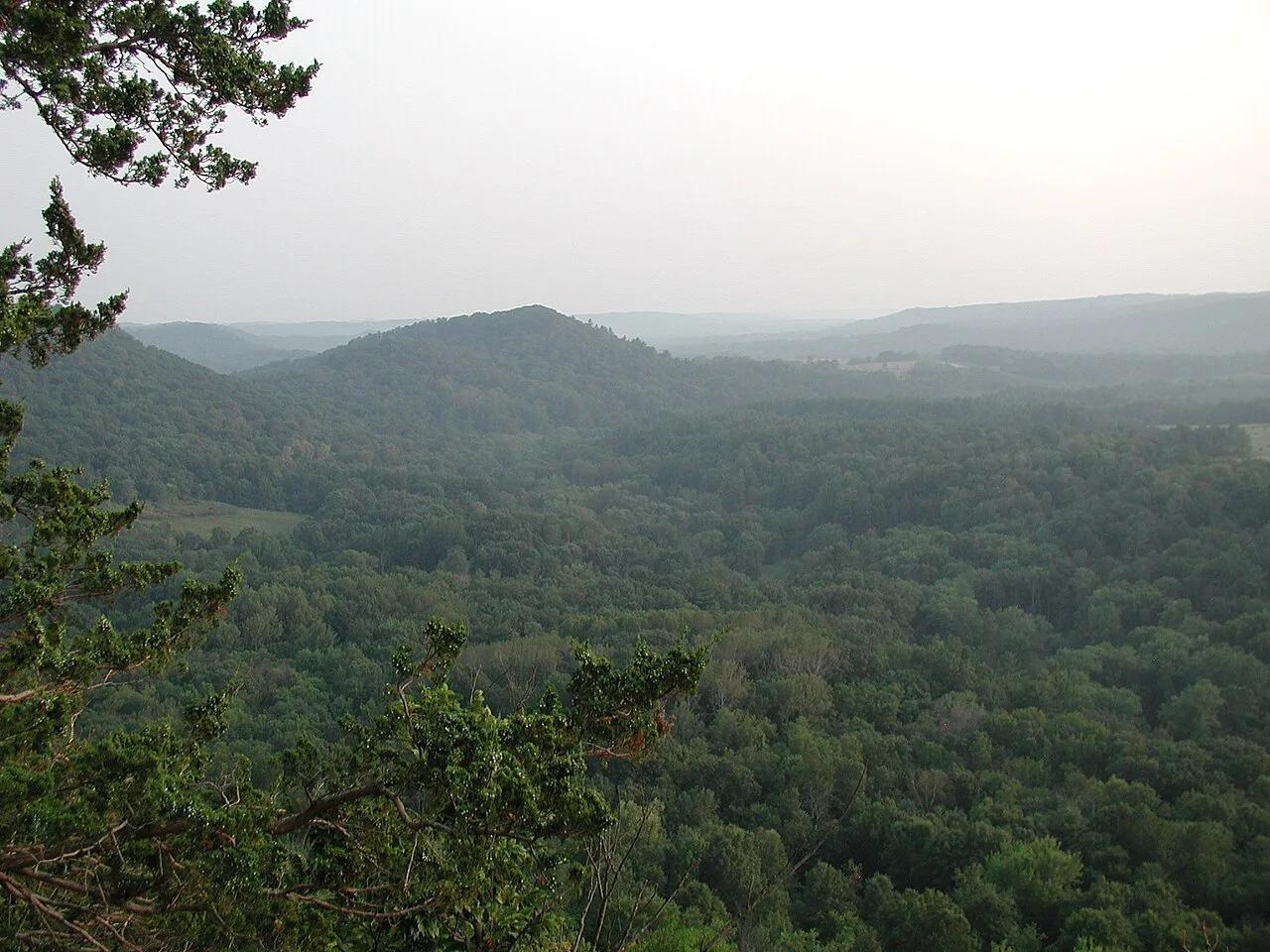
Wildcat Mountain State Park & Kickapoo Valley Reserve (Ontario) · Midwest & Great Lakes · Wisconsin
The crookedest river in the Midwest, meandering through Driftless sandstone overhangs, maidenhair fern cliffs, and red pine ledges.
Photo: Dandog77 · CC BY-SA 3.0
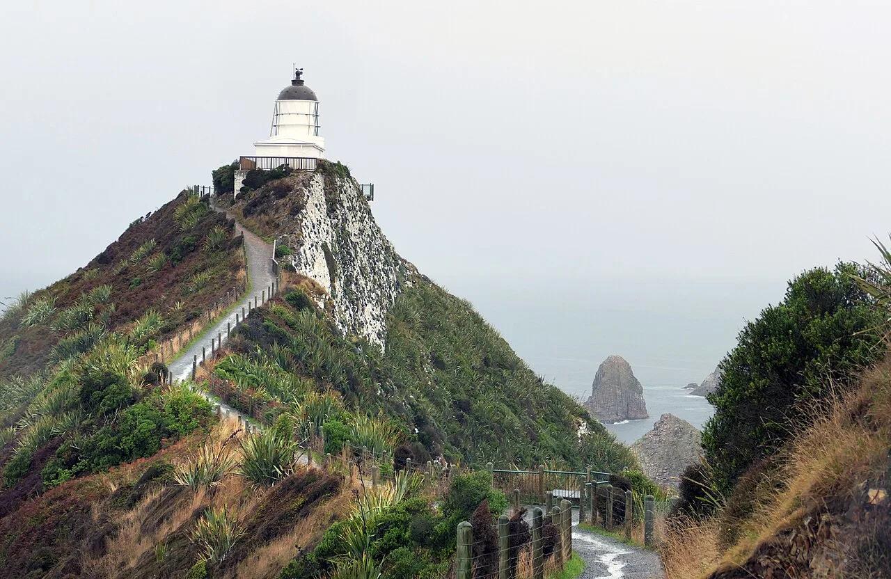
Catlins Conservation Park · Oceania · New Zealand
Knife-edge clifftop footpath to an 1869 stone lighthouse perched above wave-swept rocky 'nugget' islets and fur seal colonies.
Photo: Bernard Spragg. NZ from Christchurch, New Zealand · Public domain
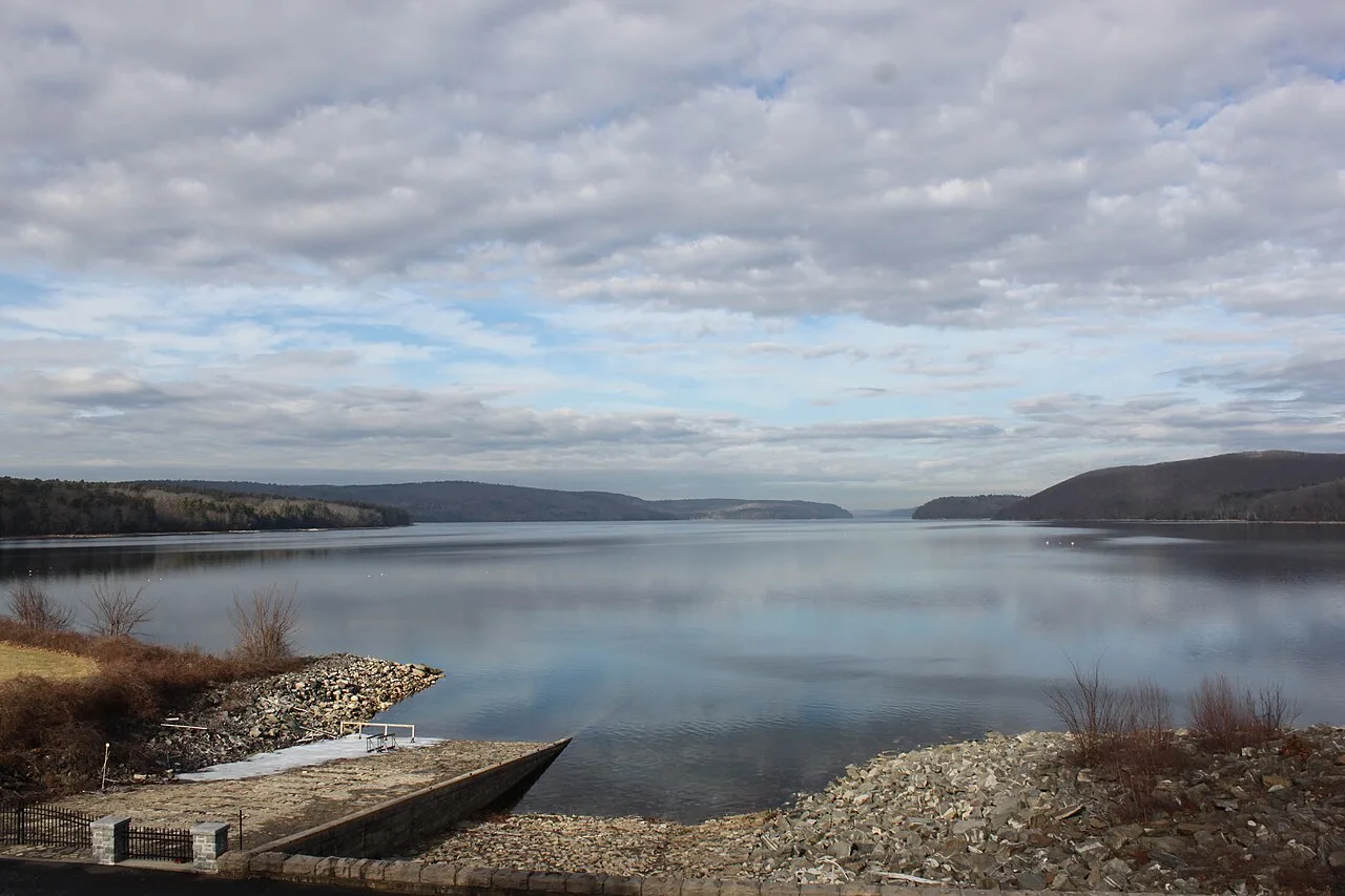
Quabbin Reservoir Reservation (DCR) · Central Massachusetts · Massachusetts
A 39-square-mile pristine drinking water reservoir surrounded by 80,000 acres of protected wilderness and nesting bald eagles.
Photo: engineerchange · CC BY 2.0
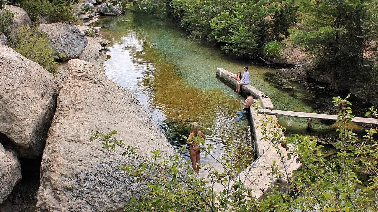
Jacob's Well Natural Area (Hays County) · Texas Hill Country · Texas
Artesian spring chamber where thousands of gallons per minute boil up from the Trinity Aquifer through a 140-foot deep submerged underwater cave system.
Photo: Larry D. Moore · CC BY 4.0
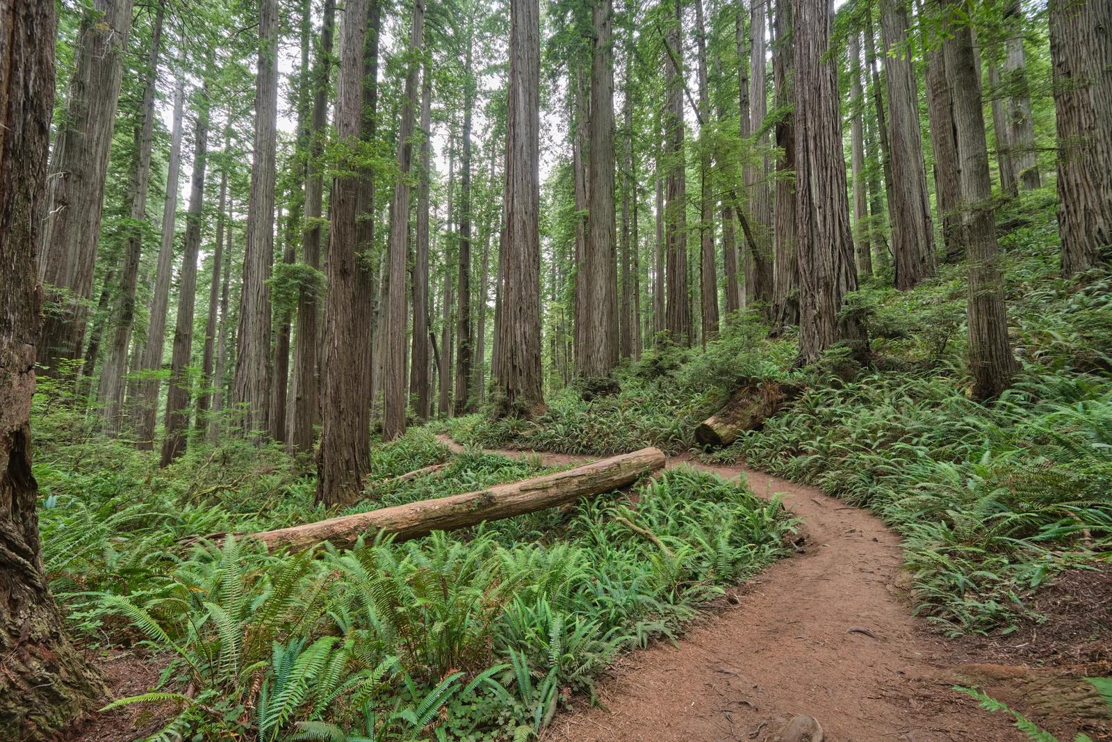
Jedediah Smith Redwoods State Park · Redwood Empire & North Coast
A breathtaking primeval trek through dense old-growth redwoods leading deep into ancient wilderness to a massive fused double tree.
Photo: Chris Rycroft from Madison, Wisconsin, United States · CC BY 2.0
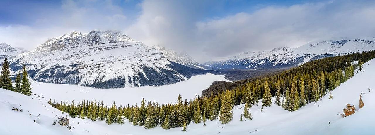
Banff National Park (Icefields Parkway) · Canadian Rockies & BC · Canada
The highest viewpoint on the Icefields Parkway overlooking wolf-head-shaped Peyto Lake glowing neon cyan from Peyto Glacier rock flour.
Photo: Jakub Fryš · CC BY-SA 4.0
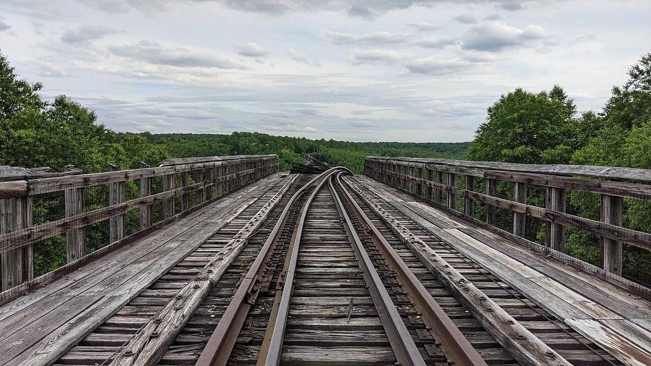
Kinzua Bridge State Park · PA Wilds / Allegheny Plateau · Pennsylvania
Walk 600 feet out onto a 225-foot-high historic railroad viaduct skywalk with a glass floor looking directly into the Kinzua Gorge.
Photo: MasterDoggo · CC BY-SA 4.0
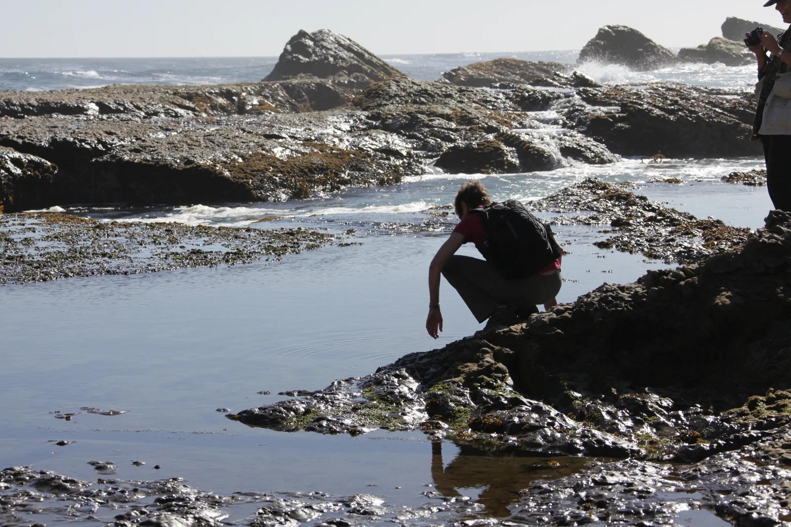
California Coastal National Monument / BLM · Redwood Empire & North Coast
Windswept sea bluffs, blowholes, and offshore sea arches protecting diverse marine wildlife along the rugged Mendocino coastline.
Photo: U.S. Department of the Interior · CC BY-SA 2.0