Viewpoint
3 photosYosemite National Park · Yosemite & Central Sierra
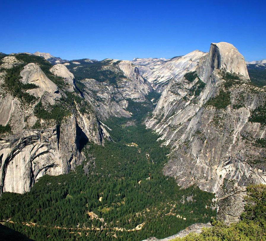
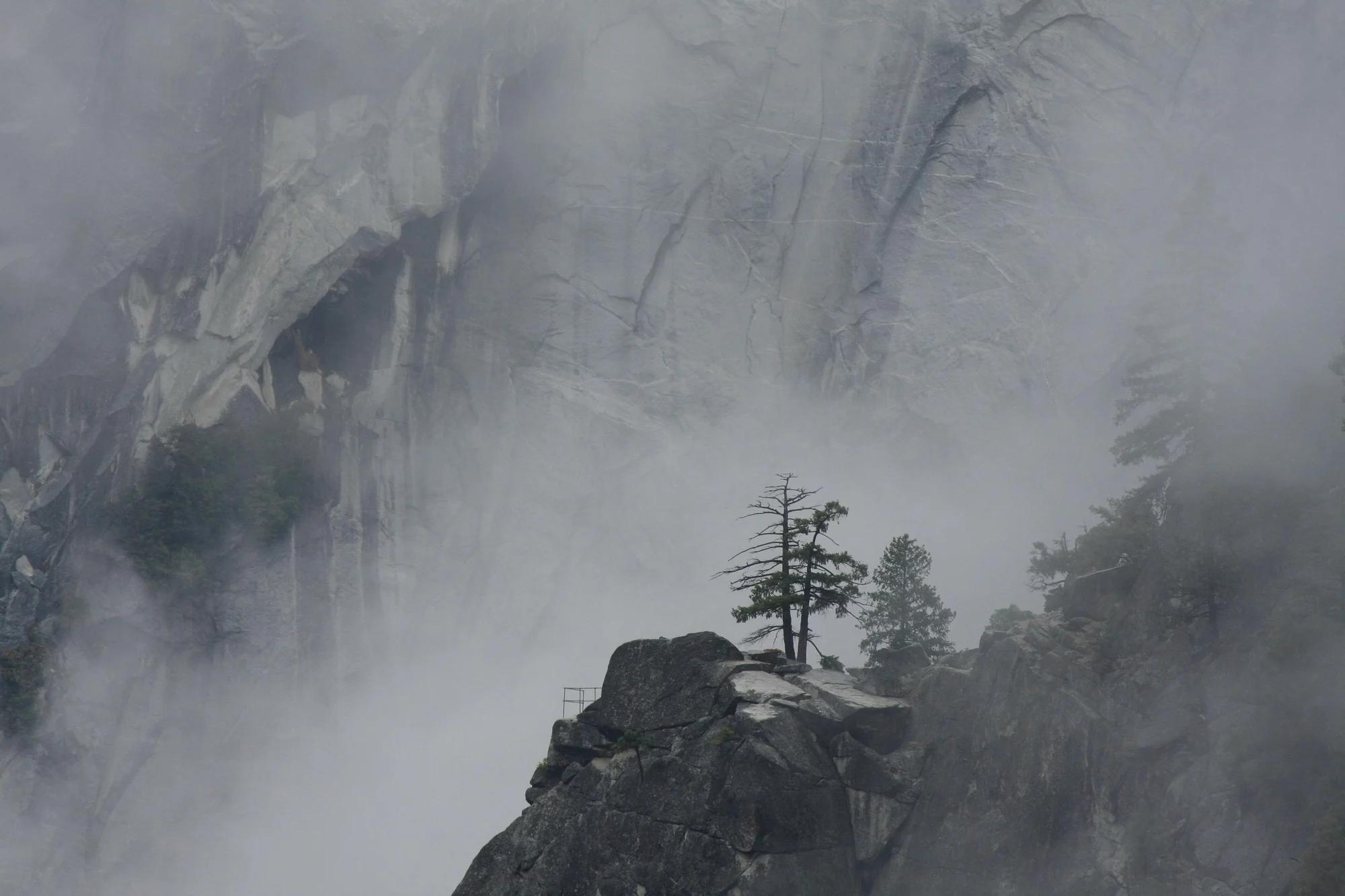
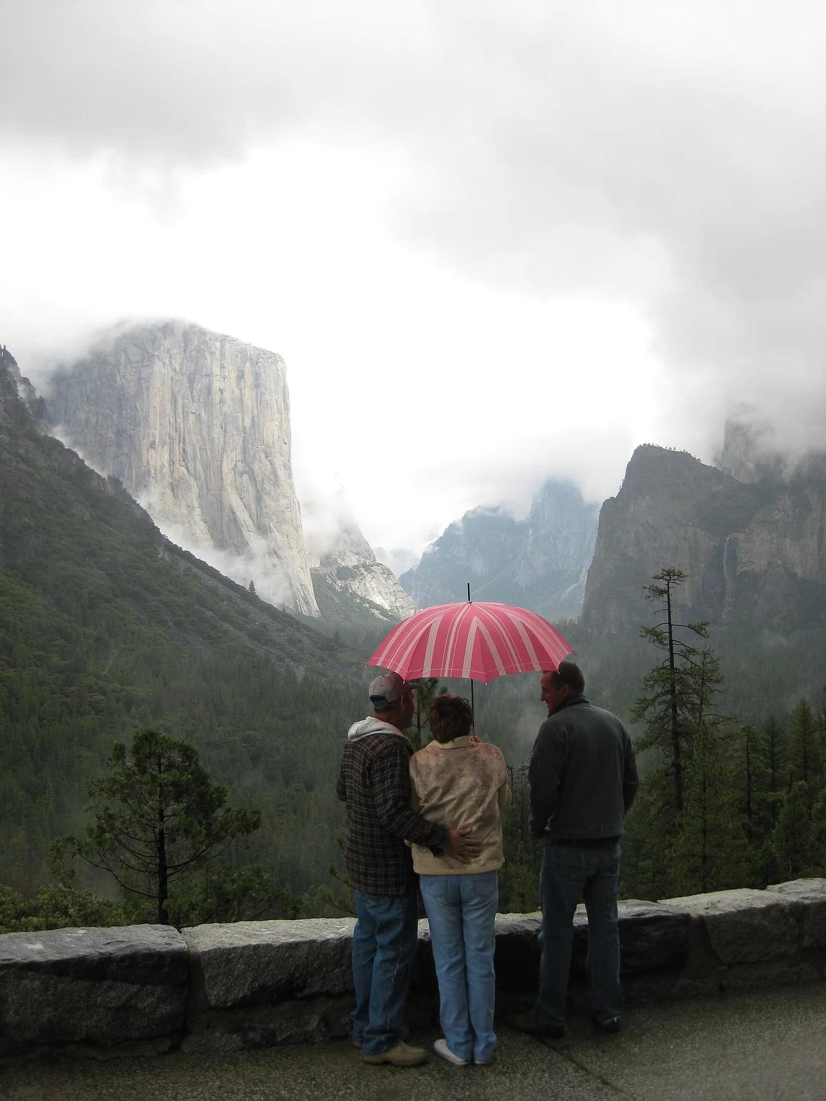
Tunnel View
Verified California viewpoint at 4,406 ft in Yosemite National Park (Yosemite & Central Sierra). Linked to Pohono Trail.
- Route
- 12.5 mi
- Elevation
- 4,406 ft
Browse & Discover
Canyon trails, waterfall walks, ridge traverses and high peaks.
621 of 2,051 places
Drag to pan. Double-click, pinch or scroll to zoom. Keyboard: arrow keys and +/−. Cards below remain available.
Loading map… Browse the spot cards below at any time.

Joshua Tree National Park
A short desert trail to the historic Barker Dam water-storage structure in Joshua Tree National Park.
Hannah Schwalbe / NPS · Public domain. Source & image licence

Angeles National Forest
The ruined mountain resort of the Mount Lowe Railway, on a front-range promontory above Altadena at the top of the Lower Sam Merrill Trail.
Lennonrodgers at en.wikipedia · Public domain. Source & image licence

Angeles National Forest
A high saddle and five-way trail junction on the Cucamonga Wilderness ridge, at the top of the steady climb up Icehouse Canyon.
Jason Hollinger · CC BY 2.0. Source & image licence

Joshua Tree National Park
One of the best-preserved stamp mills in Joshua Tree National Park, at the site of the Lost Horse gold mine.
Joseph from Cabin On The Road, USA · CC BY-SA 2.0. Source & image licence
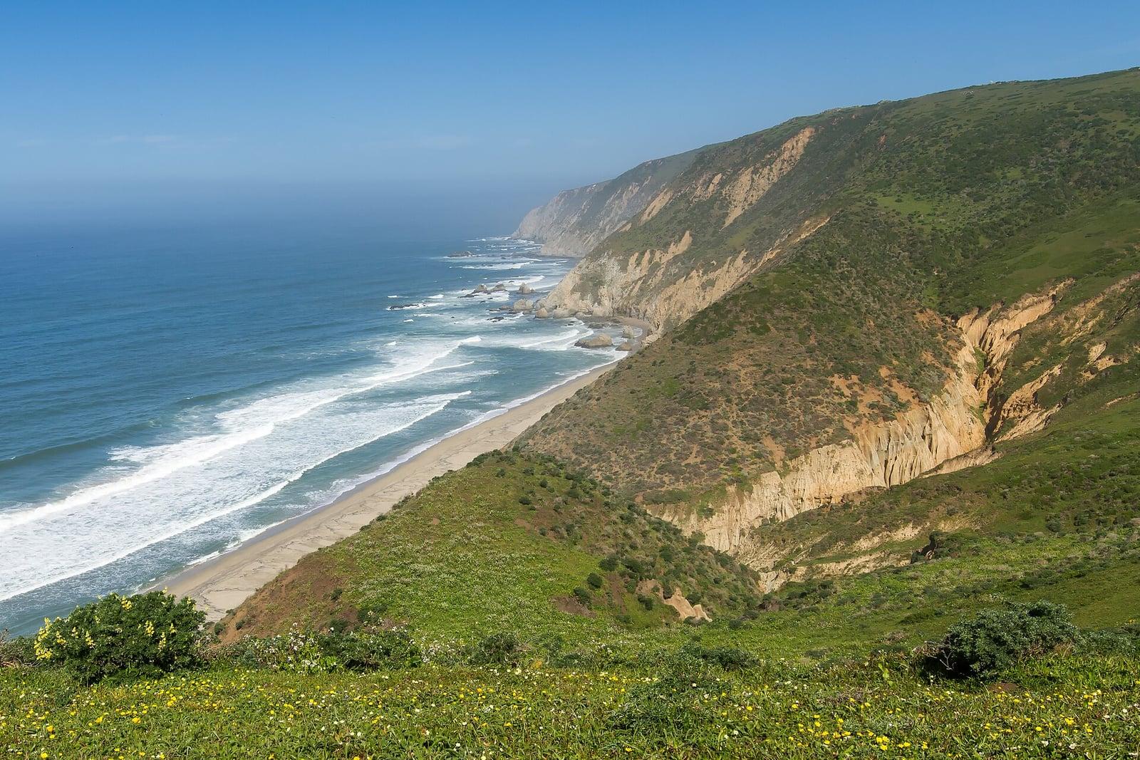
Point Reyes National Seashore
The northern tip of the Point Reyes peninsula, reached across the open bluffs of the Tomales Point Tule Elk Reserve.
Frank Schulenburg · CC BY-SA 4.0. Source & image licence

Santa Monica Mountains National Recreation Area
The ruins of the Roberts family ranch house at the end of the canyon-floor trail in Solstice Canyon, beside a small seasonal waterfall.
George Heras / Santa Monica Mountains National Recreation Area · Public domain. Source & image licence

Pfeiffer Big Sur State Park
An overlook above the Big Sur River valley, looking north over the redwoods toward Point Sur and the Pacific.
King of Hearts · CC BY-SA 3.0. Source & image licence
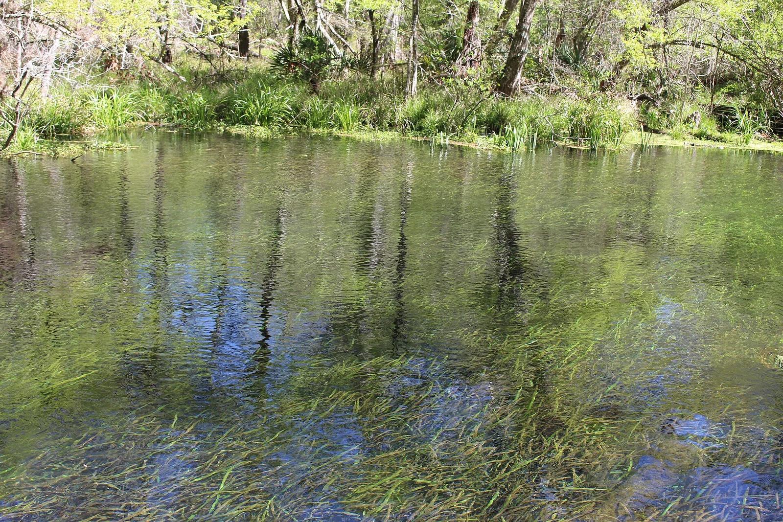
Ichetucknee Springs State Park · Florida & Southeast · Florida
A crystal-clear spring-fed river maintaining a constant 72 degrees year-round, shaded by cypress trees and home to Florida manatees.
Photo: Michael Rivera · CC BY-SA 4.0
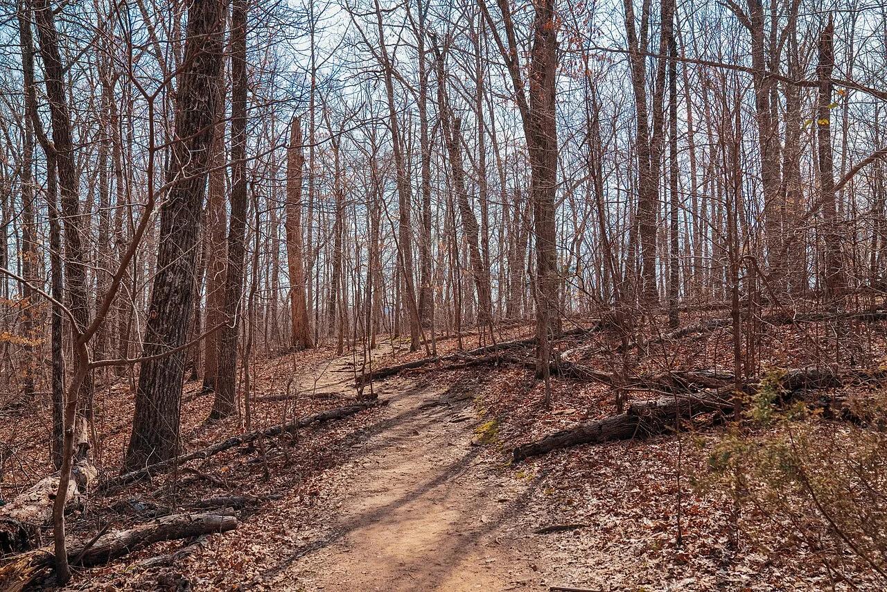
Ozark-St. Francis National Forest · South & Gulf Coast · Arkansas
Iconic beak-shaped sandstone prow jutting 100 feet out over the forested Upper Buffalo Wilderness of the Ozark Mountains.
Photo: Tony Webster from Minneapolis, Minnesota, United States · CC BY-SA 2.0
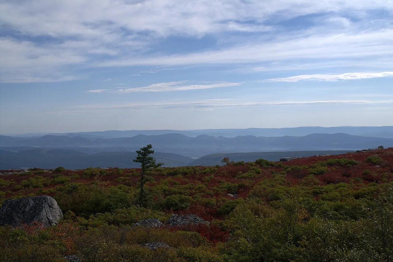
Dolly Sods Wilderness (Monongahela NF) · Appalachian & Blue Ridge · West Virginia
Sub-arctic Canadian tundra plateau at 4,000 feet featuring wind-flagged one-sided red spruces, blueberry barrens, and puddingstone boulders.
Photo: Aneta Kaluzna · CC BY-SA 2.5
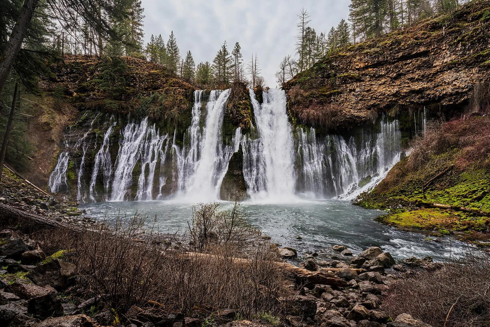
McArthur-Burney Falls Memorial State Park · Shasta Cascade
The 'Eighth Wonder of the World' (Teddy Roosevelt): a spectacular 129-foot spring-fed waterfall surrounded by pine campgrounds and picnic areas.
Photo: JonMallard10 · CC BY 4.0
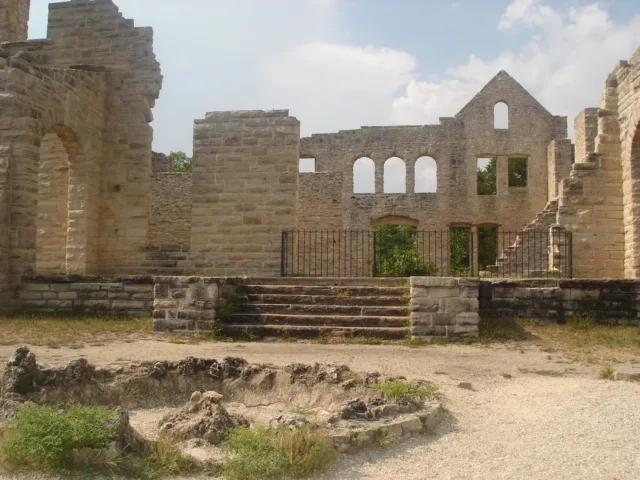
Ha Ha Tonka State Park · Midwest & Great Lakes · Missouri
Turquoise Ozark karst spring, sinkholes, natural bridge, and stone castle ruins perched 250 feet above the Lake of the Ozarks.
Photo: Paul Knittel from St. Louis, United States · CC BY 2.0
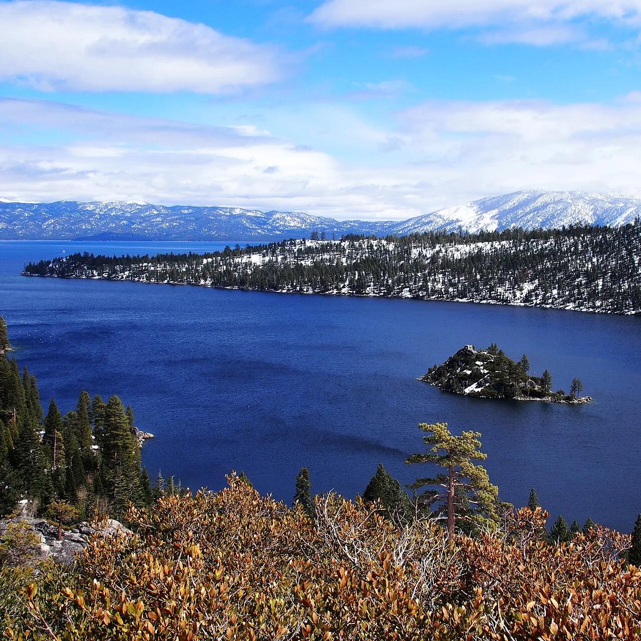
D.L. Bliss & Emerald Bay State Parks (Lake Tahoe) · Tahoe & Northern Sierra
Granite cliffside footpath hugging the cobalt-and-emerald waters of Lake Tahoe above Fannette Island and Vikingsholm Castle.
Photo: TJH1976 · Public domain

Acadia National Park · New England & Adirondacks · Maine
Traces pink granite coastal headlands from Sand Beach past the booming sea-surge of Thunder Hole to Otter Cliff.
Photo: w:User:Michael180 (User:ThePlaz on Commons) · CC BY-SA 2.5
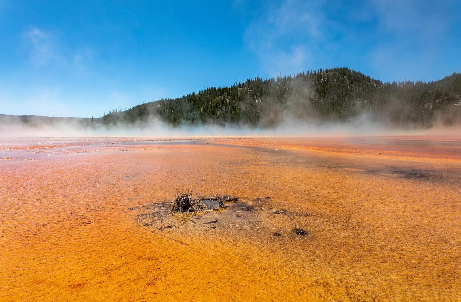
Yellowstone National Park · Yellowstone, Tetons & Northern Rockies · Wyoming
Elevated viewpoint looking down onto the rainbow-colored bacterial mats and steaming azure center of Grand Prismatic Spring.
Photo: Dietmar Rabich · CC BY-SA 4.0