Peak
Inyo National Forest · Yosemite & Central Sierra
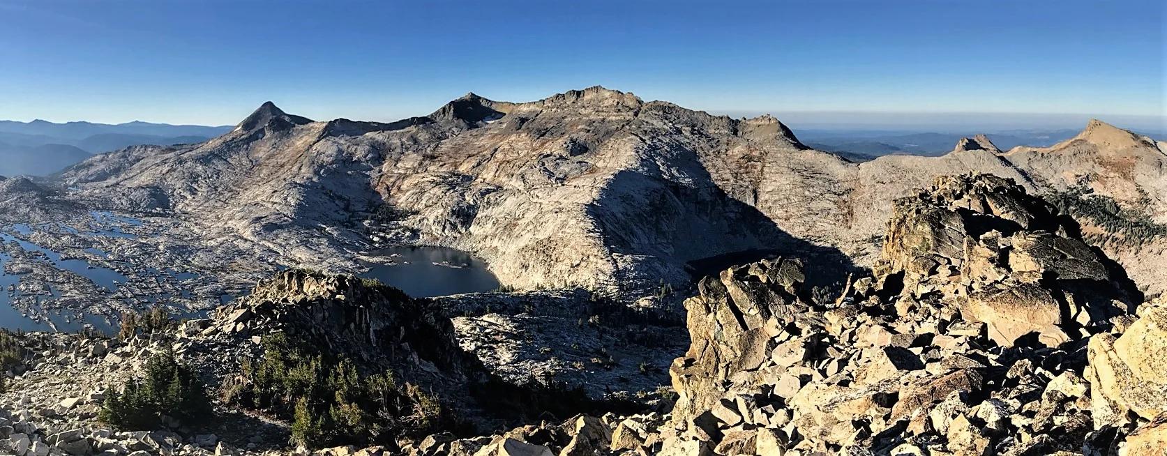
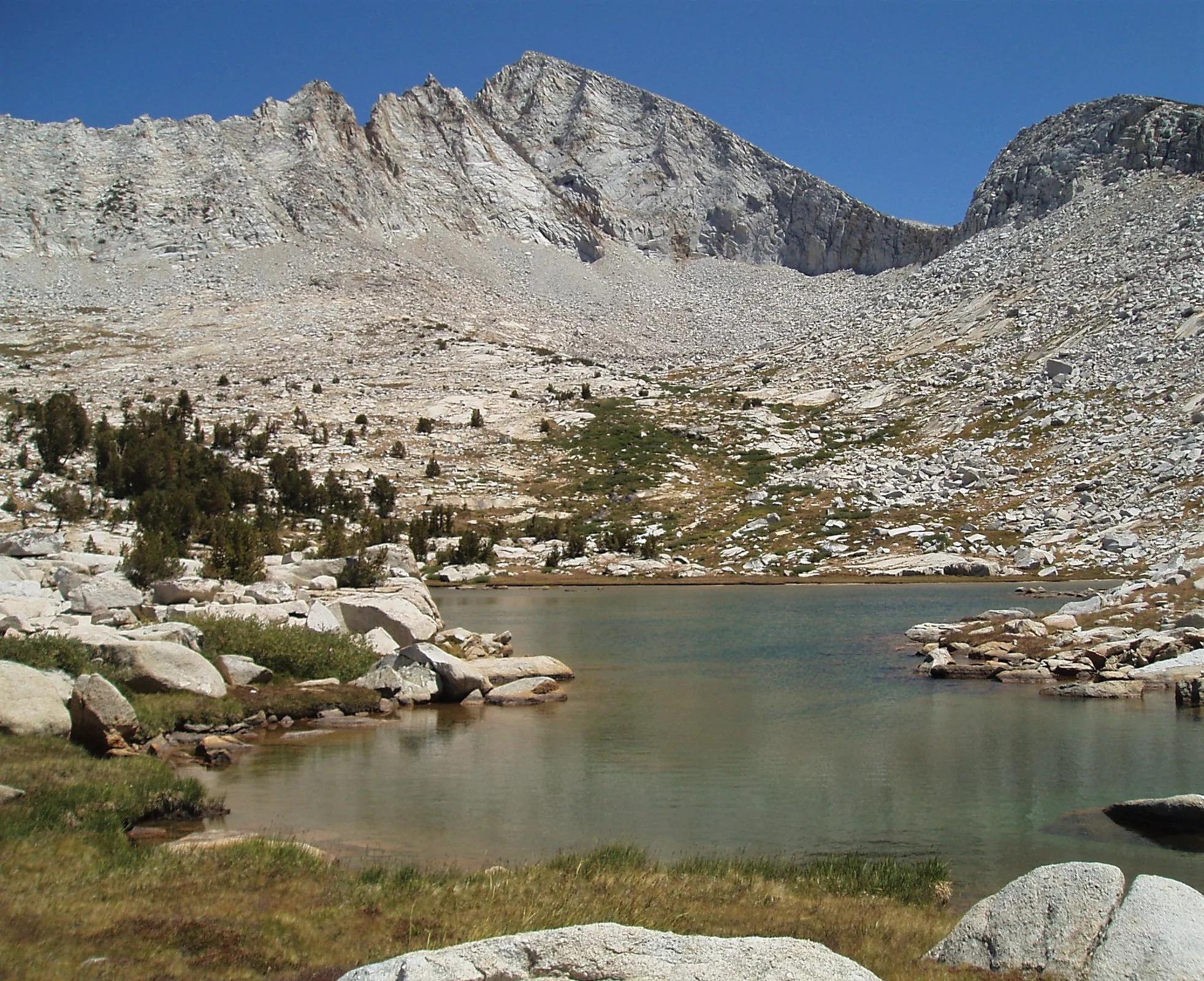
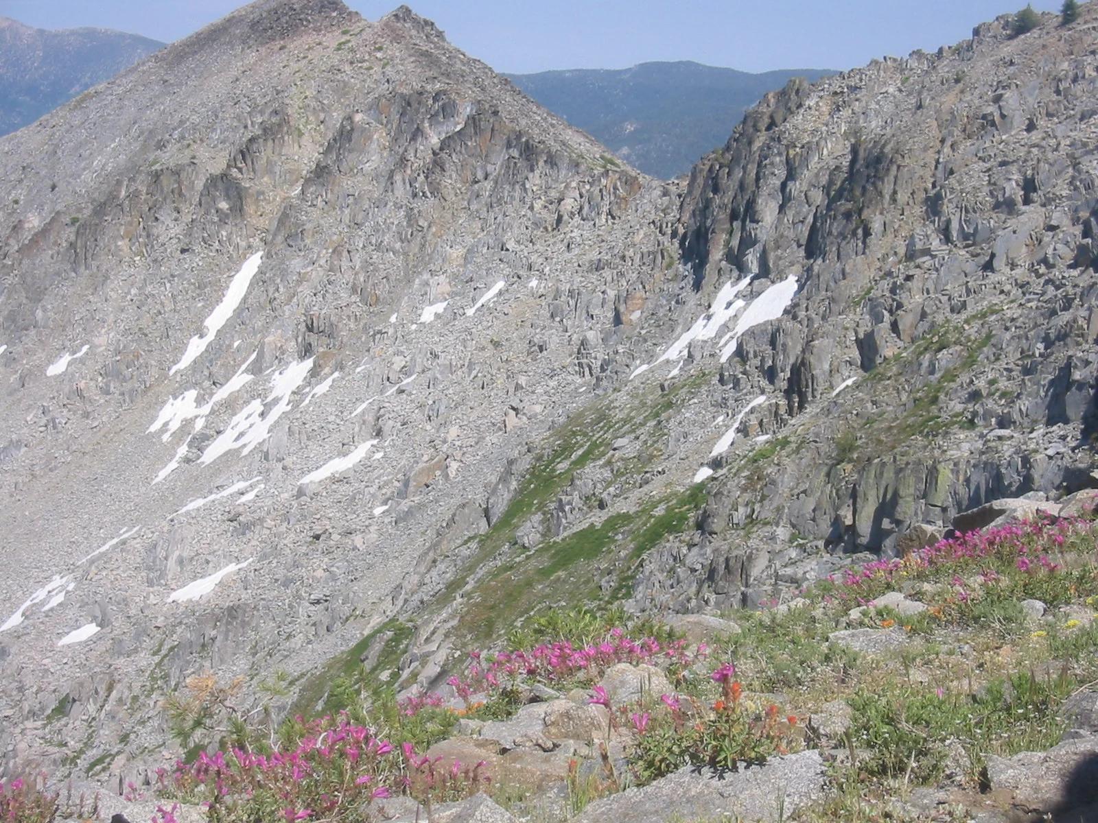
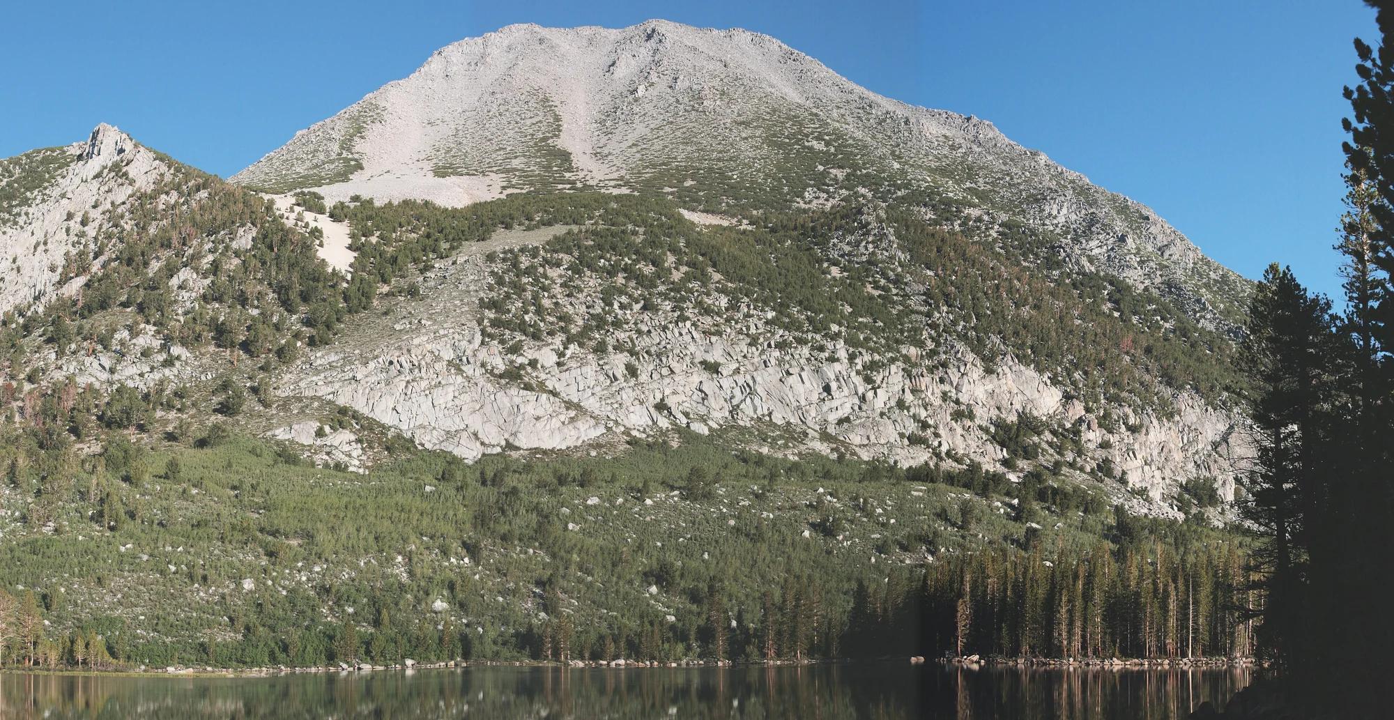
Mount Morgan
Verified California peak at 12,999 ft in Inyo National Forest (Yosemite & Central Sierra).
- Route
- 2.9 mi
- Climb
- 361 ft
Browse & Discover
Filter by activity, state, region, dog policy, or route effort — or use the interactive map below to find waterfalls, trails, beaches, bikeways, skateparks, and campgrounds near any location.
1,108 of 2,051 places
Drag to pan. Double-click, pinch or scroll to zoom. Keyboard: arrow keys and +/−. Cards below remain available.
Loading map… Browse the spot cards below at any time.

Eaton Canyon Natural Area
The waterfall at the head of lower Eaton Canyon, reached by a wide wash walk from the Eaton Canyon Nature Center and a final creekside scramble.
[scott.medling or en:user:scott.medling user:scott.medling from California, United States] · CC BY-SA 2.0. Source & image licence

Angeles National Forest
The ruined mountain resort of the Mount Lowe Railway, on a front-range promontory above Altadena at the top of the Lower Sam Merrill Trail.
Lennonrodgers at en.wikipedia · Public domain. Source & image licence

Escondido Canyon Park
A multi-tiered waterfall in Escondido Canyon above Malibu. The maintained trail ends at the base of the mossy lower tier.
Santa Monica Mountains National Recreation Area · Public domain. Source & image licence

Inyo National Forest
A chain of small alpine lakes at the head of Little Lakes Valley in the John Muir Wilderness, below the 13,000-foot peaks of the Bear Creek Spire cirque.
Jane S. Richardson (talk · contribs) · CC BY-SA 3.0. Source & image licence

Angeles National Forest
A high saddle and five-way trail junction on the Cucamonga Wilderness ridge, at the top of the steady climb up Icehouse Canyon.
Jason Hollinger · CC BY 2.0. Source & image licence

Mount Tamalpais Watershed
A winter-and-spring cascade on Cataract Creek just below the Laurel Dell picnic area, reached downhill along the Cataract Trail from Rock Spring.
Richard Wood · CC BY-SA 3.0. Source & image licence

Angeles National Forest
A waterfall of about fifty feet filling the head of a narrow, shaded canyon, a short walk upstream from Millard Campground.
Region 5 Photography · Public domain. Source & image licence

Mission Peak Regional Preserve
The bare grassland summit above Fremont, marked by the Mission Peeker sighting pole and climbed by the Hidden Valley Trail from Stanford Avenue.
Oleg Alexandrov · CC BY-SA 3.0. Source & image licence

Angeles National Forest
The highest summit of the San Gabriel Mountains, reached from Baldy Notch along the exposed Devils Backbone ridge.
Darkest tree · CC BY-SA 4.0. Source & image licence

Inyo National Forest
A quiet lake in the Ansel Adams Wilderness beneath Parker Peak, reached through sage and an aspen-lined creek canyon off the June Lake Loop.
Mark Gunn from Novato, California, USA · CC BY 2.0. Source & image licence

Santa Monica Mountains National Recreation Area
The highest point in the Santa Monica Mountains, climbed from the Mishe Mokwa trailhead along the Backbone Trail at Circle X Ranch.
Wasquewhat · CC BY-SA 4.0. Source & image licence

Angeles National Forest
A 50-foot single drop into a shallow plunge pool, 1.7 mi up Big Santa Anita Canyon. Shaded the entire way in. The work is all on the walk out.
U.S. Department of Agriculture / USDA USFS · CC BY 2.0. Source & image licence

Santa Monica Mountains National Recreation Area
The ruins of the Roberts family ranch house at the end of the canyon-floor trail in Solstice Canyon, beside a small seasonal waterfall.
George Heras / Santa Monica Mountains National Recreation Area · Public domain. Source & image licence
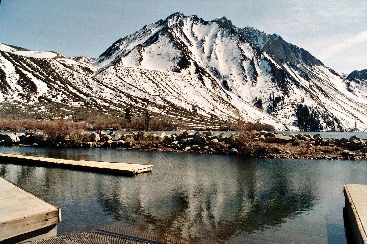
Inyo National Forest · Yosemite & Central Sierra
Verified California peak at 12,241 ft in Inyo National Forest (Yosemite & Central Sierra).
Photo: The original uploader was Geographer at English Wikipedia . · CC BY 1.0
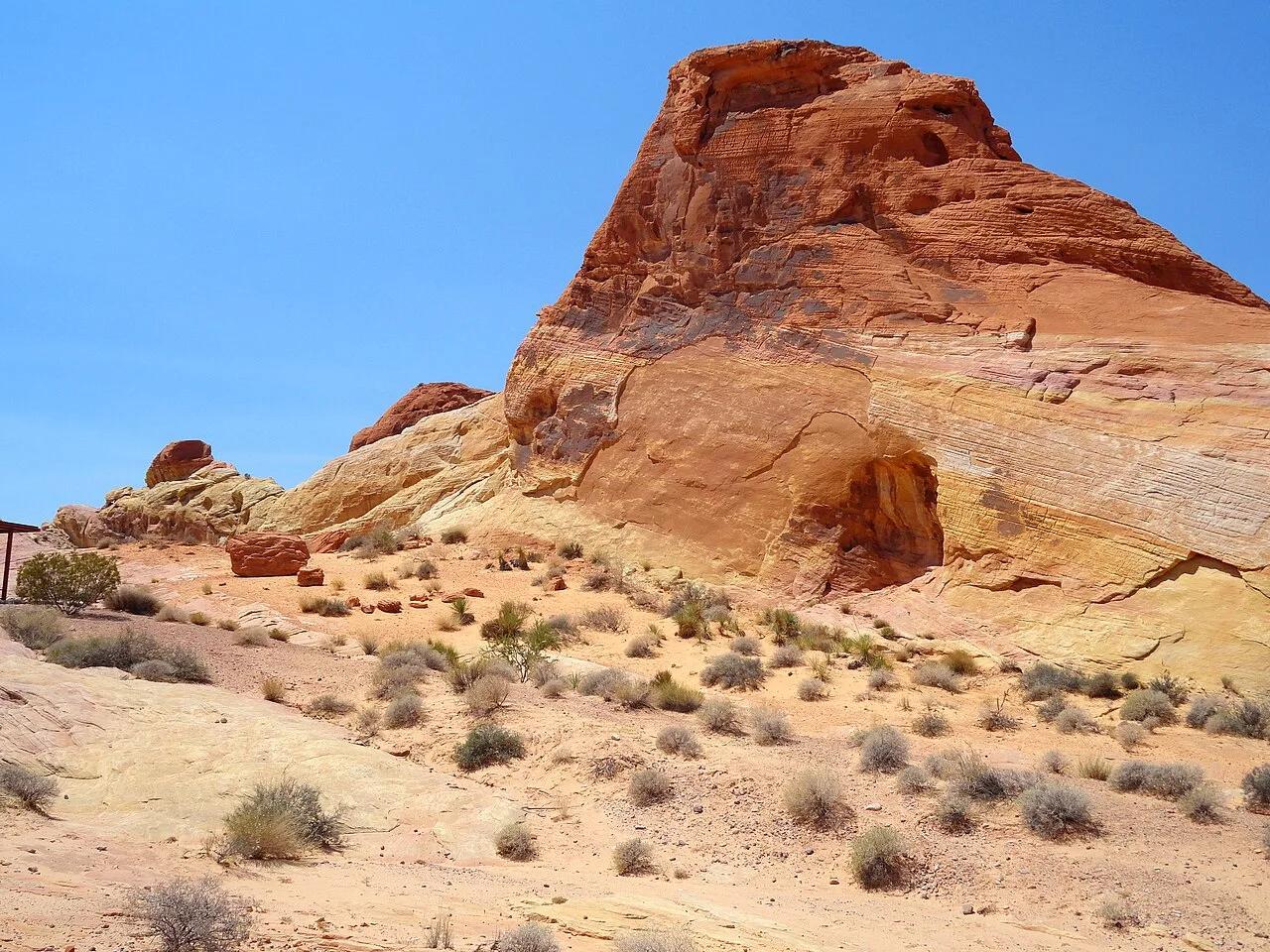
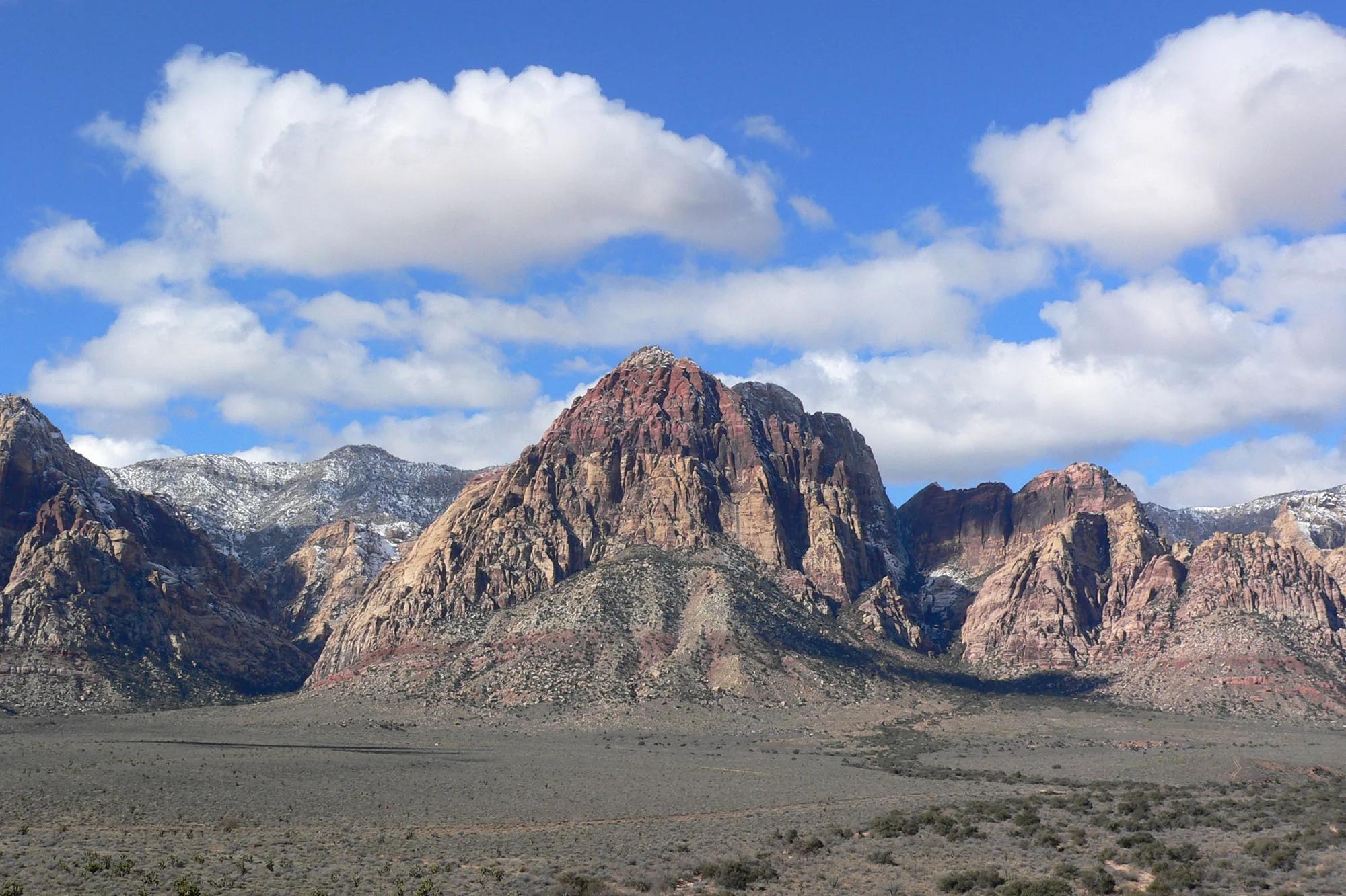
Valley of Fire State Park · Great Basin & Nevada · Nevada
Contrast of cream, pink, and crimson Aztec Sandstone domes leading through a cool narrow slot canyon in the Mojave Desert.
Photo: Fabio Achilli from Milano, Italy · CC BY 2.0
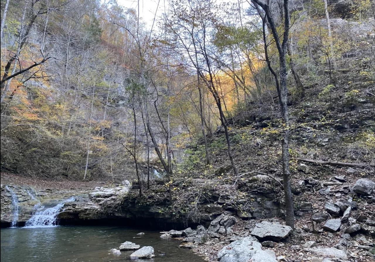
Walls of Jericho Forever Wild Tract (Estillfork) · Appalachian & Blue Ridge · Alabama
200-foot bowl-shaped limestone canyon carved by Hurricane Creek, featuring natural travertine swimming holes and a roaring cave waterfall.
Photo: Dan Chapman/USFWS · Public domain
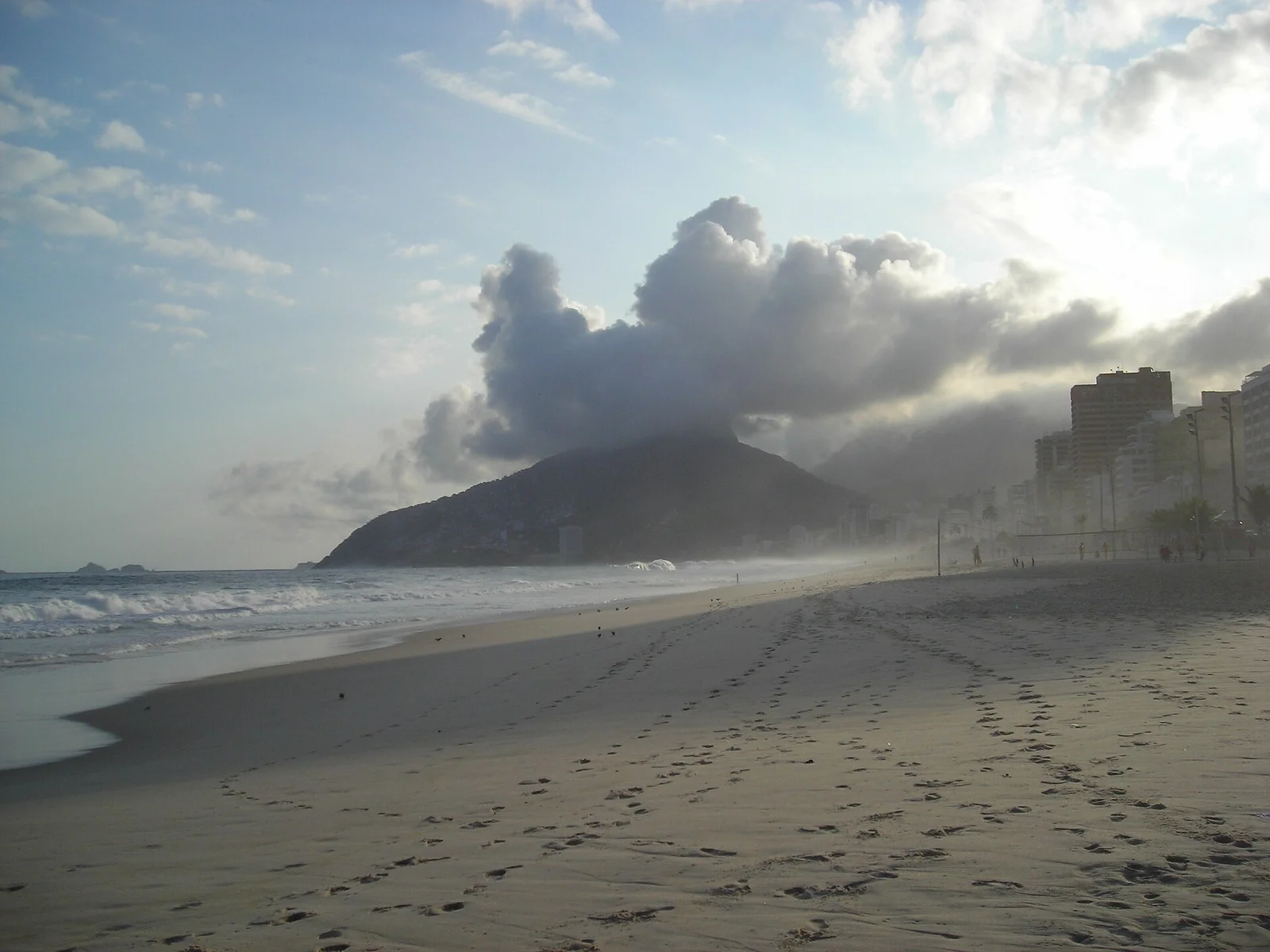
Parque Natural Municipal Penhasco Dois Irmãos · Costa Rica, Brazil & Latin America · Brazil
Iconic twin granite peaks bookending Rio's South Zone, reached via a jungle ridge scramble that unveils supreme views over Ipanema, Leblon, and Corcovado.
Photo: nico normand · CC BY-SA 3.0
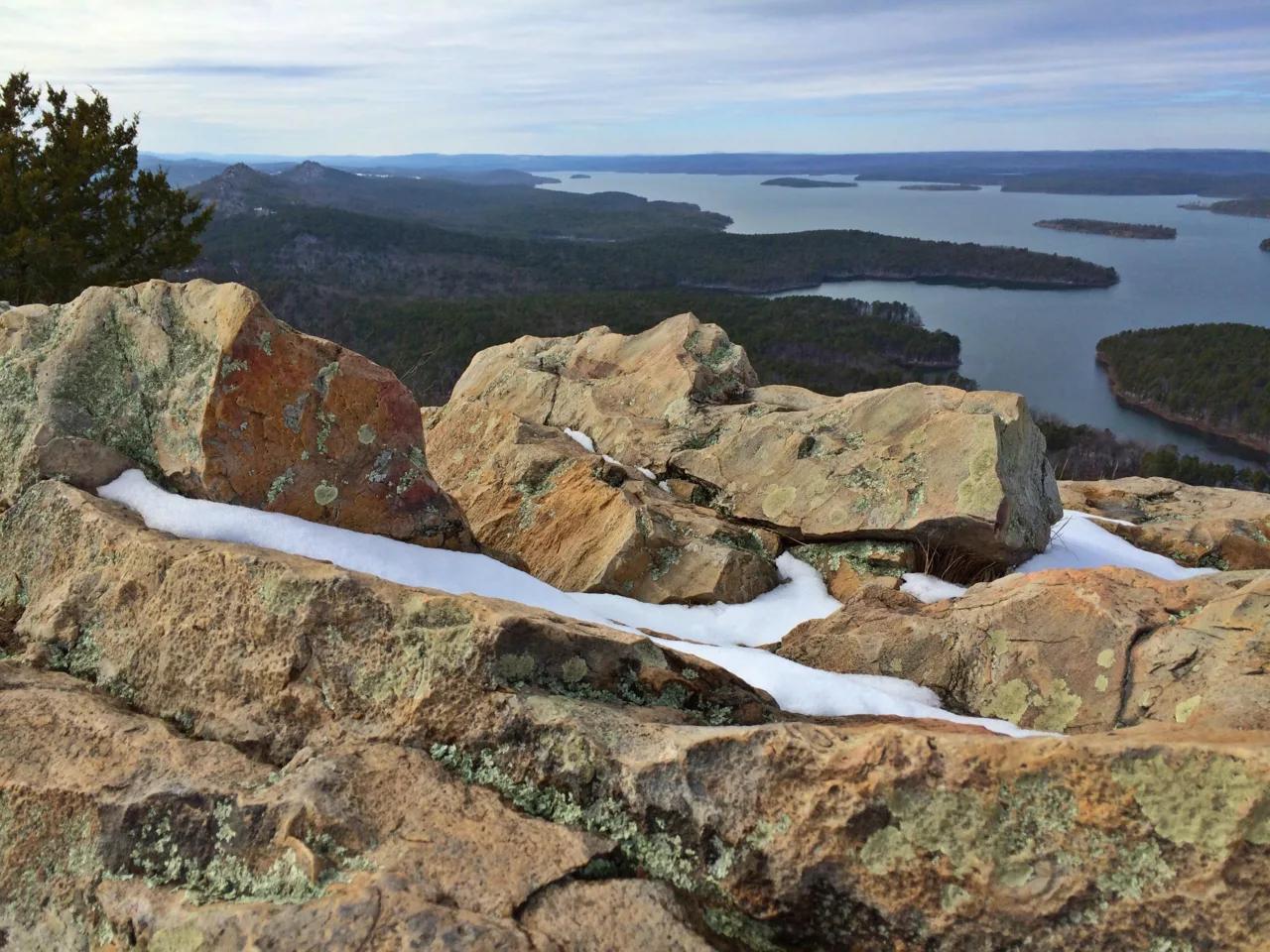
Pinnacle Mountain State Park (Little Rock) · South & Gulf Coast · Arkansas
Steep Jackfork Sandstone boulder cone rising 1,011 feet directly above the Arkansas River and Lake Maumelle, accompanied by Monument Trails mountain biking.
Photo: Jason Ronza · CC BY-SA 4.0
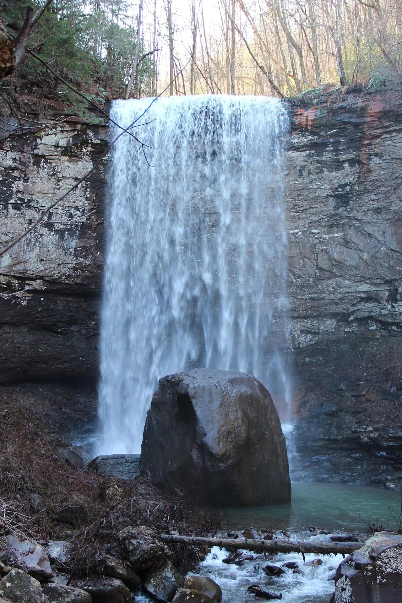
Cloudland Canyon State Park (Lookout Mountain) · Appalachian & Blue Ridge · Georgia
600-step steel staircase descending into a 1,000-foot sandstone gorge on the western edge of Lookout Mountain to twin plunging waterfalls.
Photo: Thomsonmg2000 · Public domain
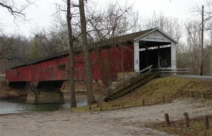
Shades State Park / Pine Hills Nature Preserve · West Central Indiana · Indiana
Deep sandstone ravines along Sugar Creek featuring Devil's Punchbowl waterfall basin and the dramatic 100-foot knife-edge ridge of Turkey Backbone.
Photo: AlHart · Public domain
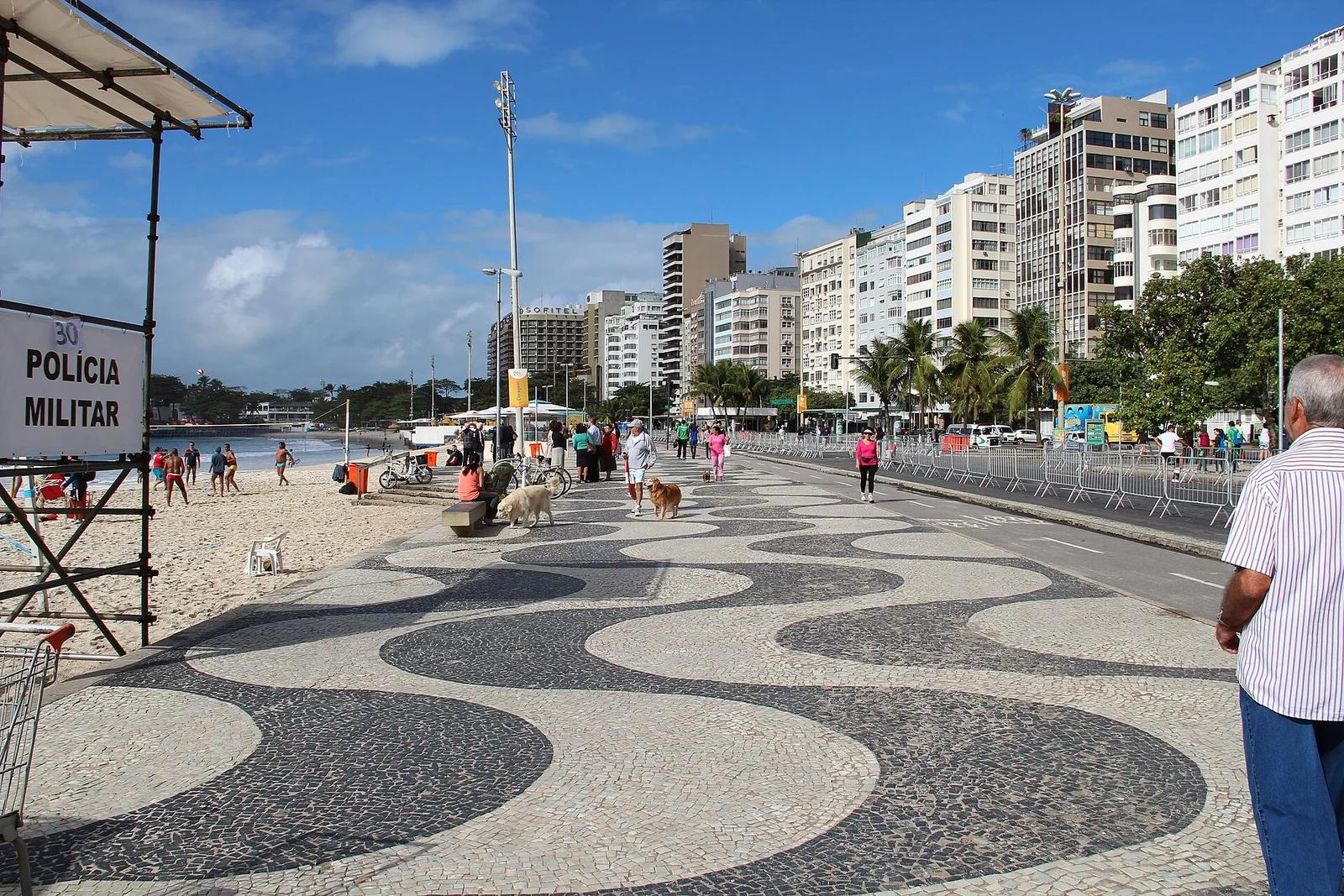
Copacabana Coastal Zone · Costa Rica, Brazil & Latin America · Brazil
Four kilometres of sweeping golden Atlantic sands bordered by Roberto Burle Marx's black-and-white wave mosaic calçadão, alive with beach volleyball and ocean running.
Photo: Marinelson Almeida - Traveling by Brazil · CC BY 2.0
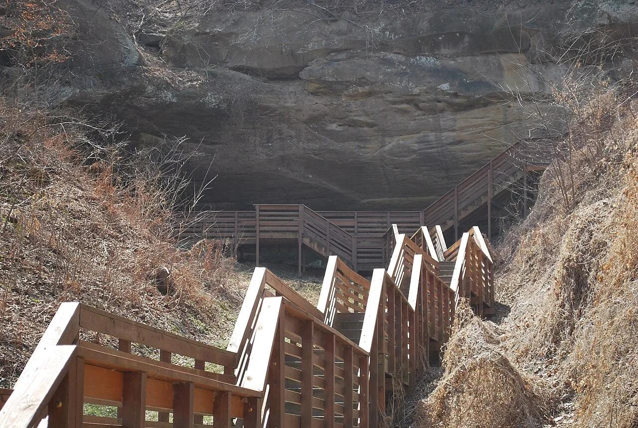
Indian Cave State Park (Shubert) · Southeast Nebraska · Nebraska
Massive sandstone cavern bearing prehistoric Native American petroglyphs nestled along 200-foot hardwood bluffs overlooking the Missouri River.
Photo: DickClarkMises · Public domain
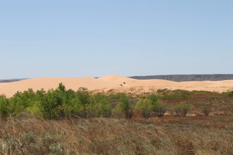
Little Sahara State Park (Waynoka) · Northwest Oklahoma · Oklahoma
Over 1,600 acres of towering rolling quartz sand dunes up to 75 feet high, formed from terrace deposits of the prehistoric Cimarron River.
Photo: Matt Howry from Ardmore, OK, USA · CC BY 2.0
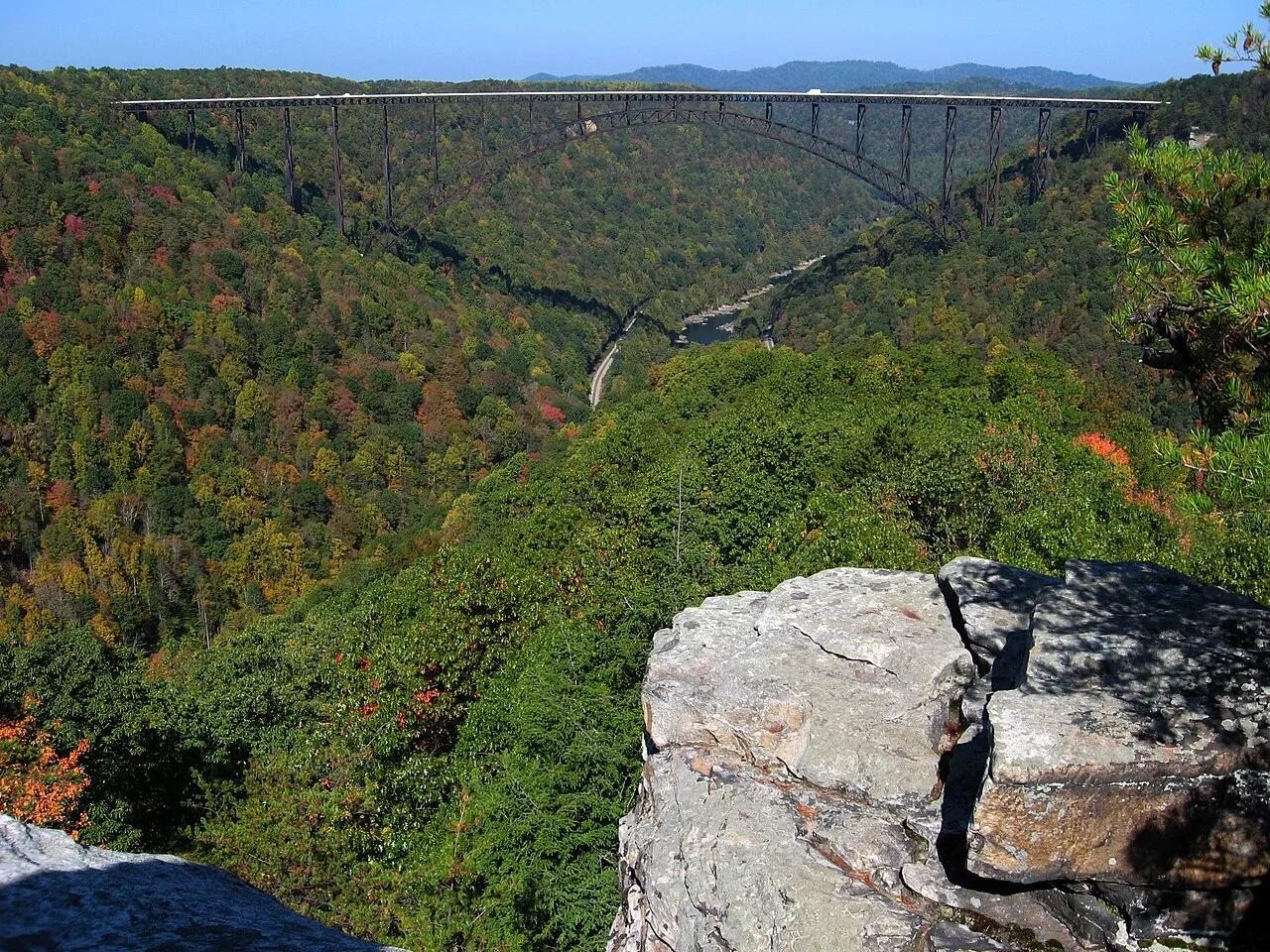
New River Gorge National Park and Preserve · Appalachian & Blue Ridge · West Virginia
Narrow Nuttall sandstone rock finger jutting into the gorge with a dead-center profile view of the 3,030-foot New River Gorge steel arch bridge.
Photo: NPS photo/Dave Bieri · Public domain
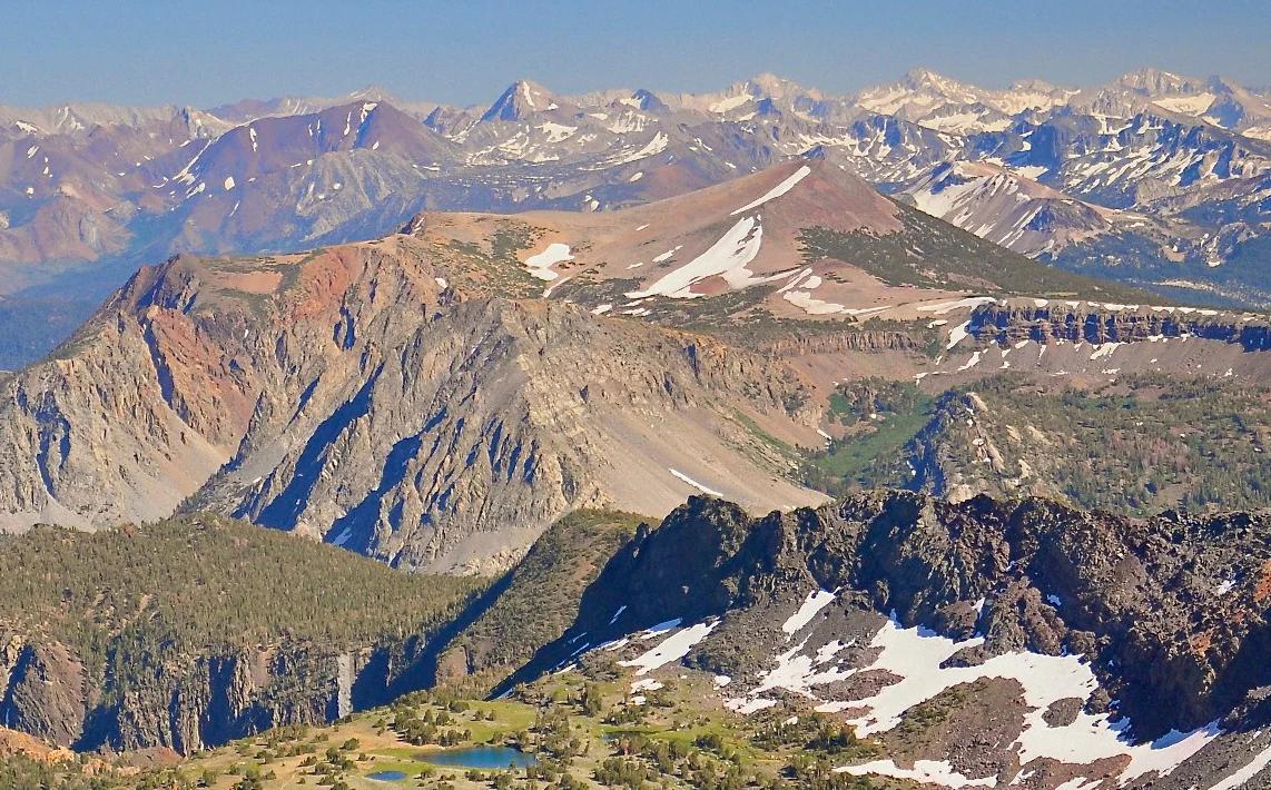
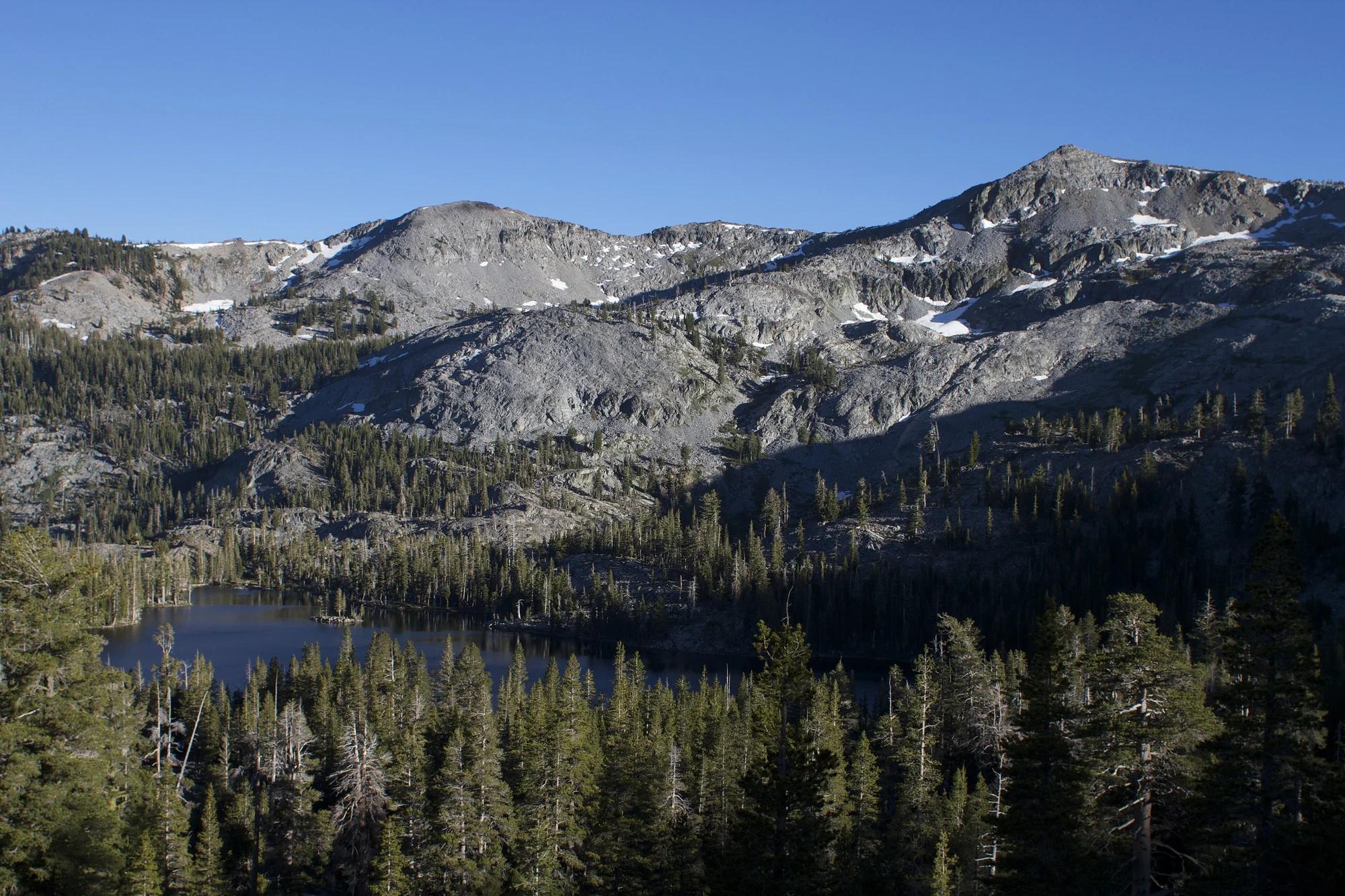
Inyo National Forest · Yosemite & Central Sierra
Verified California peak at 11,555 ft in Inyo National Forest (Yosemite & Central Sierra).
Photo: File:Alger Lakes Ansel Adams Wilderness.jpg : Steve Dunleavy from Lake Tahoe, NV, United States cropping: Hike395 · CC BY 2.0
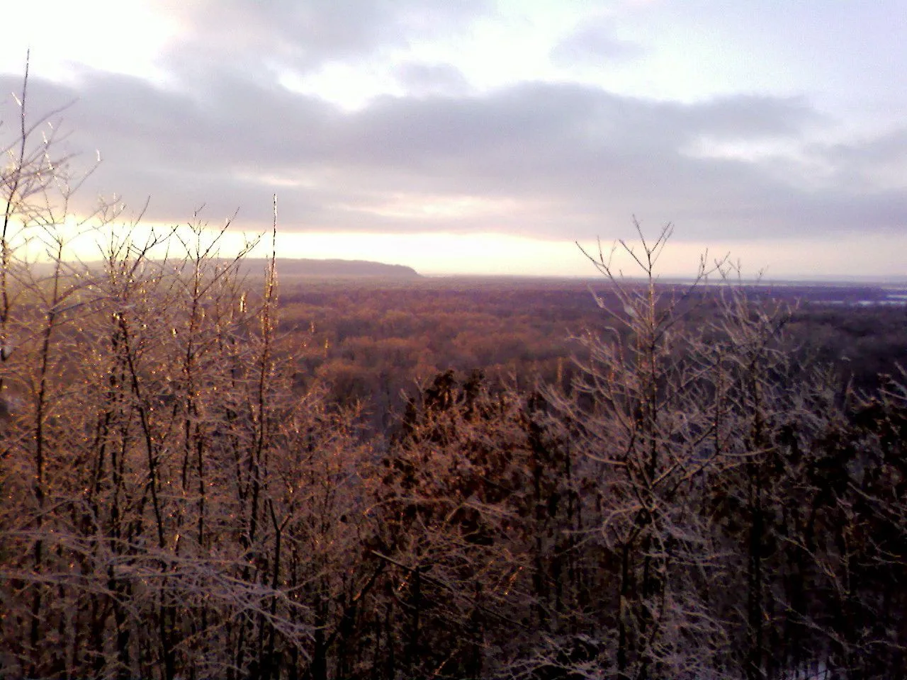
Shawnee National Forest (Murphysboro) · Southern Illinois / Shawnee · Illinois
Adventurous descent through a steep box canyon where ancient creek waters have carved foot-holds directly into slick sandstone beneath 300-foot bluffs.
Photo: randwill · CC BY 2.0
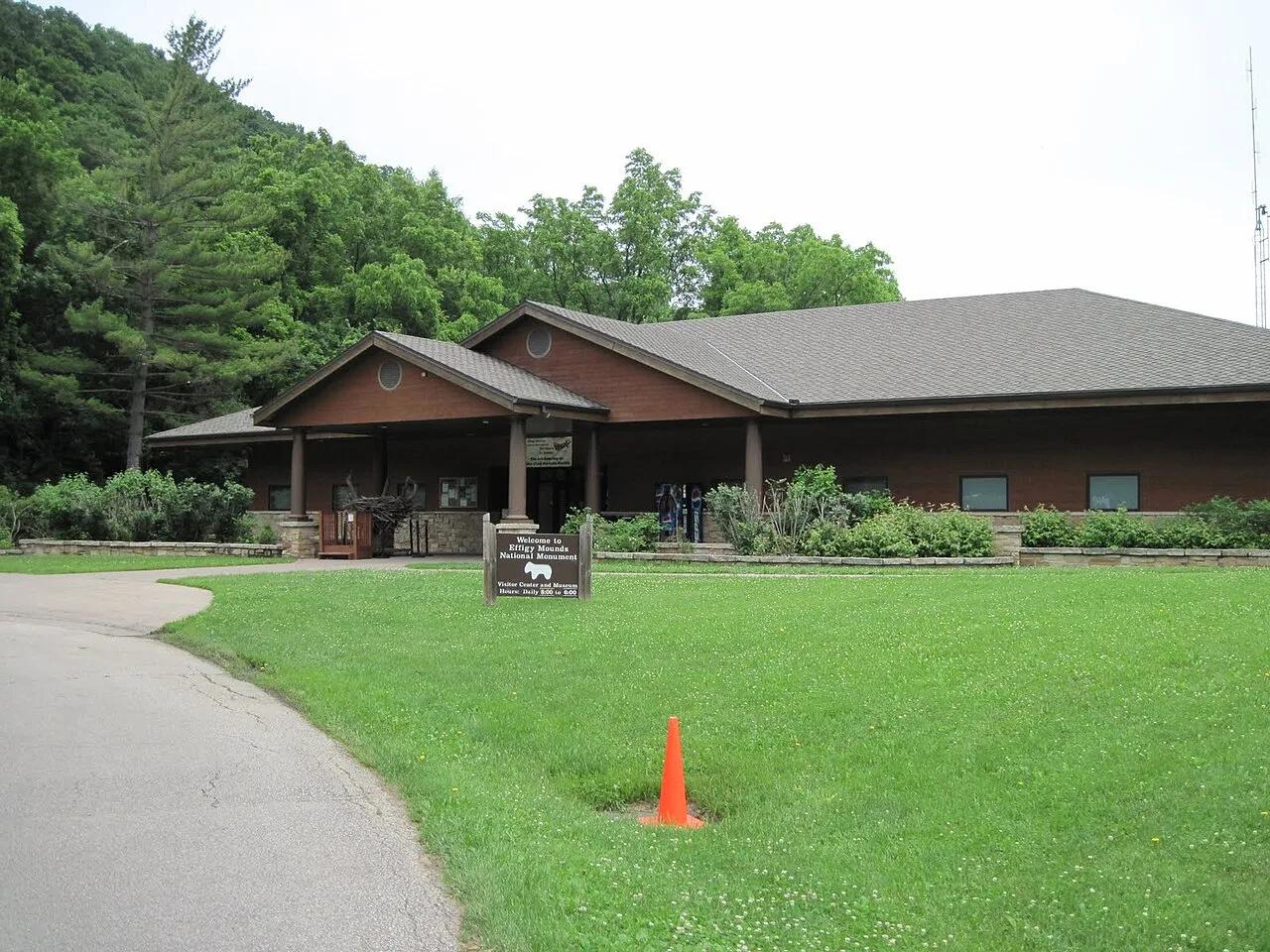
Effigy Mounds National Monument · Upper Mississippi Valley · Iowa
Sacred American Indian effigy earthworks shaped like bears and birds atop forested Mississippi River bluffs overlooking the Yellow River delta.
Photo: SkybirdForever · CC BY-SA 3.0
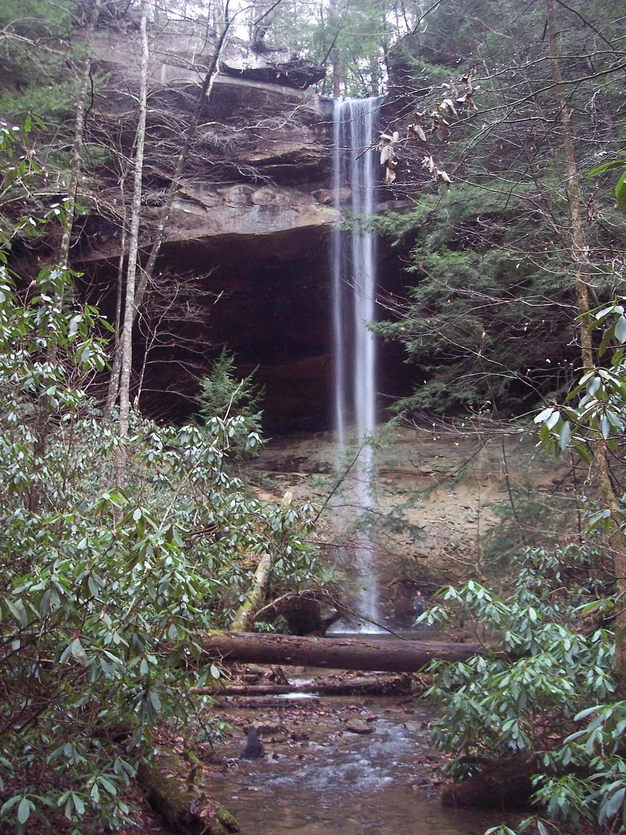
Big South Fork National River and Recreation Area (Whitley City) · Appalachian & Blue Ridge · Kentucky
Kentucky's highest waterfall—a 113-foot plunge framed by a massive sandstone rock shelter you can walk completely behind.
Photo: Mason Brock (Masebrock) · Public domain
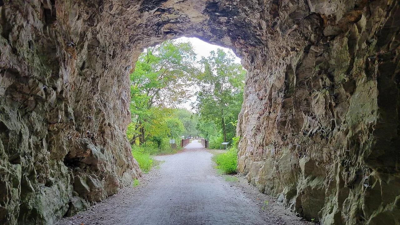
Katy Trail State Park (Rocheport) · Mid-Missouri · Missouri
Iconic rail-trail section hugging soaring 200-foot Burlington limestone bluffs along the Missouri River, passing Lewis and Clark pictographs and the 1893 stone tunnel.
Photo: RuralResurrection · CC BY 4.0
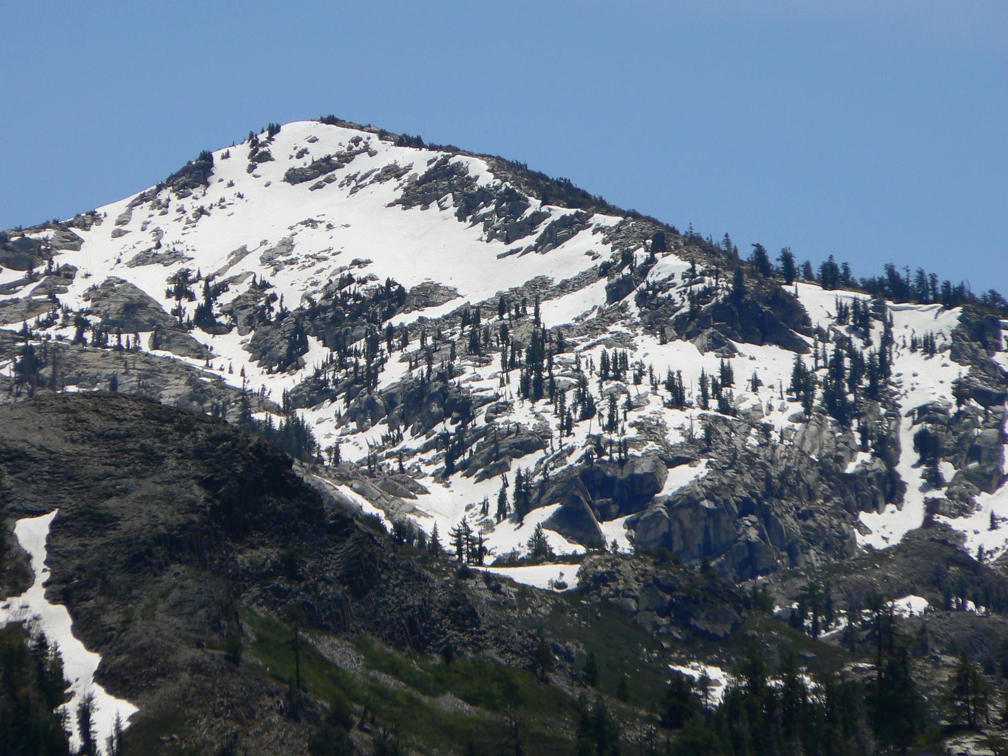
Eldorado National Forest · Lake Tahoe & Northern Sierra
Verified California peak at 8,855 ft in Eldorado National Forest (Lake Tahoe & Northern Sierra).
Photo: Nick Ares from Auburn, CA, United States · CC BY-SA 2.0
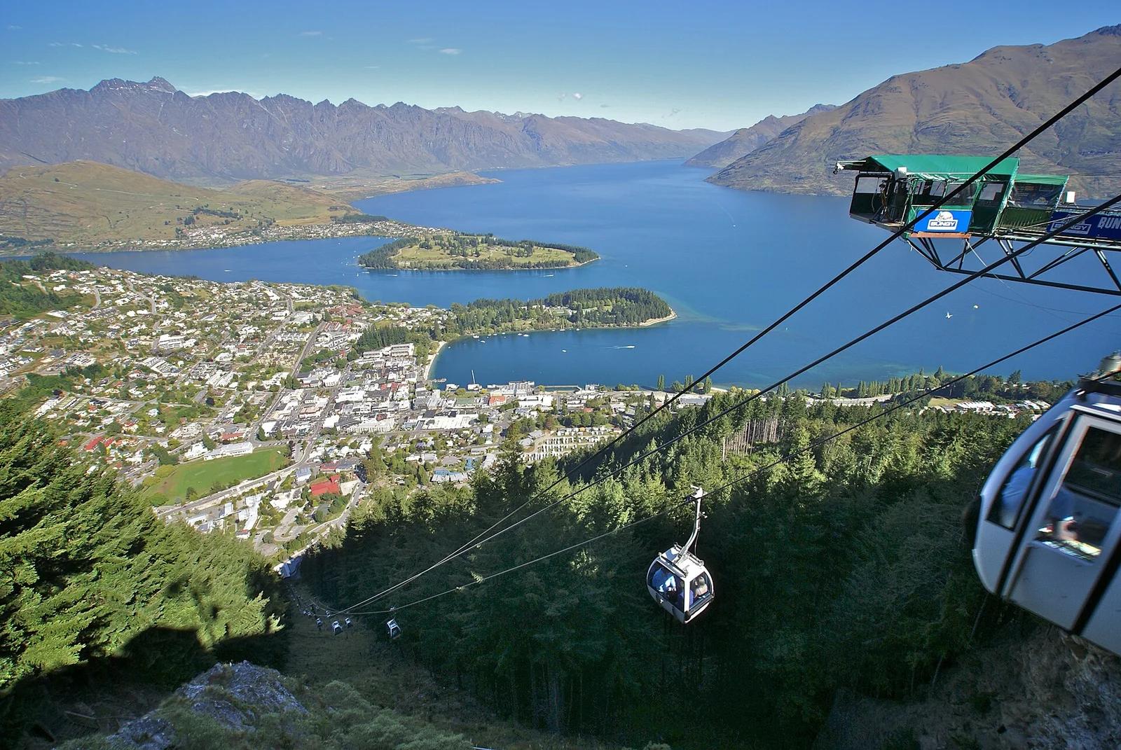
Bob's Peak / Ben Lomond Reserve · New Zealand
Southern Hemisphere downhill mountain bike mecca accessed via Skyline Gondola, featuring over 30 kilometres of world-class flow trails dropping 450 vertical metres.
Photo: Matthias Klappenbach · CC BY 2.0