Mount Tom State Reservation · Pioneer Valley · Massachusetts
Mount Tom Traprock Ridge & Goat Peak
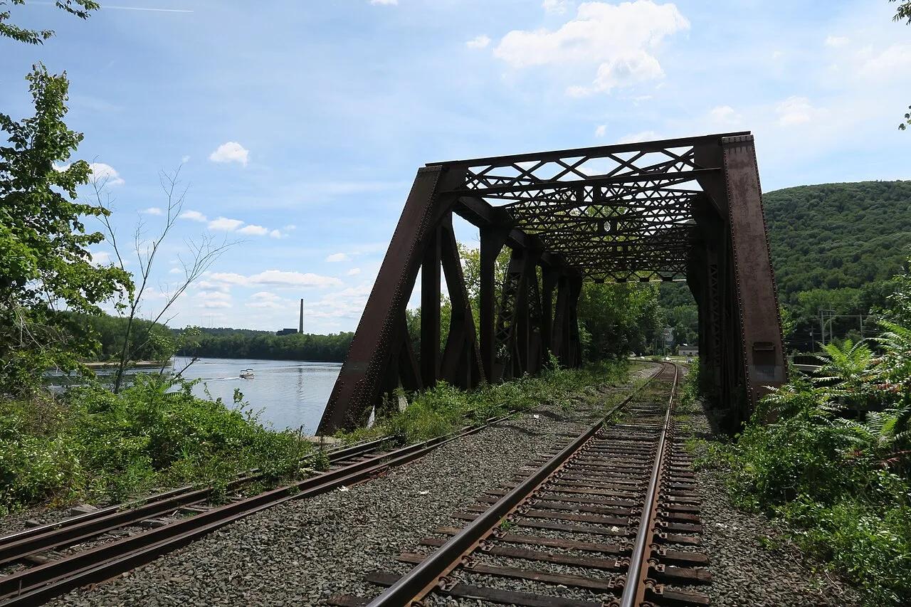
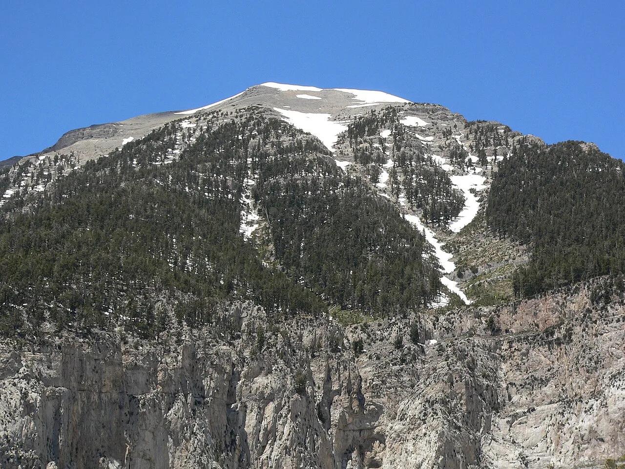
Sheer basalt columnar traprock cliffs rise 1,000 feet above the Connecticut River oxbow along the New England Scenic Trail.
- Route
- 5.3 mi
- Climb
- 1,115 ft
Browse & Discover
Filter by activity, state, region, dog policy, or route effort — or use the interactive map below to find waterfalls, trails, beaches, bikeways, skateparks, and campgrounds near any location.
1,108 of 2,051 places
Drag to pan. Double-click, pinch or scroll to zoom. Keyboard: arrow keys and +/−. Cards below remain available.
Loading map… Browse the spot cards below at any time.

Eaton Canyon Natural Area
The waterfall at the head of lower Eaton Canyon, reached by a wide wash walk from the Eaton Canyon Nature Center and a final creekside scramble.
[scott.medling or en:user:scott.medling user:scott.medling from California, United States] · CC BY-SA 2.0. Source & image licence

Angeles National Forest
The ruined mountain resort of the Mount Lowe Railway, on a front-range promontory above Altadena at the top of the Lower Sam Merrill Trail.
Lennonrodgers at en.wikipedia · Public domain. Source & image licence

Escondido Canyon Park
A multi-tiered waterfall in Escondido Canyon above Malibu. The maintained trail ends at the base of the mossy lower tier.
Santa Monica Mountains National Recreation Area · Public domain. Source & image licence

Inyo National Forest
A chain of small alpine lakes at the head of Little Lakes Valley in the John Muir Wilderness, below the 13,000-foot peaks of the Bear Creek Spire cirque.
Jane S. Richardson (talk · contribs) · CC BY-SA 3.0. Source & image licence

Angeles National Forest
A high saddle and five-way trail junction on the Cucamonga Wilderness ridge, at the top of the steady climb up Icehouse Canyon.
Jason Hollinger · CC BY 2.0. Source & image licence

Mount Tamalpais Watershed
A winter-and-spring cascade on Cataract Creek just below the Laurel Dell picnic area, reached downhill along the Cataract Trail from Rock Spring.
Richard Wood · CC BY-SA 3.0. Source & image licence

Angeles National Forest
A waterfall of about fifty feet filling the head of a narrow, shaded canyon, a short walk upstream from Millard Campground.
Region 5 Photography · Public domain. Source & image licence

Mission Peak Regional Preserve
The bare grassland summit above Fremont, marked by the Mission Peeker sighting pole and climbed by the Hidden Valley Trail from Stanford Avenue.
Oleg Alexandrov · CC BY-SA 3.0. Source & image licence

Angeles National Forest
The highest summit of the San Gabriel Mountains, reached from Baldy Notch along the exposed Devils Backbone ridge.
Darkest tree · CC BY-SA 4.0. Source & image licence

Inyo National Forest
A quiet lake in the Ansel Adams Wilderness beneath Parker Peak, reached through sage and an aspen-lined creek canyon off the June Lake Loop.
Mark Gunn from Novato, California, USA · CC BY 2.0. Source & image licence

Santa Monica Mountains National Recreation Area
The highest point in the Santa Monica Mountains, climbed from the Mishe Mokwa trailhead along the Backbone Trail at Circle X Ranch.
Wasquewhat · CC BY-SA 4.0. Source & image licence

Angeles National Forest
A 50-foot single drop into a shallow plunge pool, 1.7 mi up Big Santa Anita Canyon. Shaded the entire way in. The work is all on the walk out.
U.S. Department of Agriculture / USDA USFS · CC BY 2.0. Source & image licence

Santa Monica Mountains National Recreation Area
The ruins of the Roberts family ranch house at the end of the canyon-floor trail in Solstice Canyon, beside a small seasonal waterfall.
George Heras / Santa Monica Mountains National Recreation Area · Public domain. Source & image licence

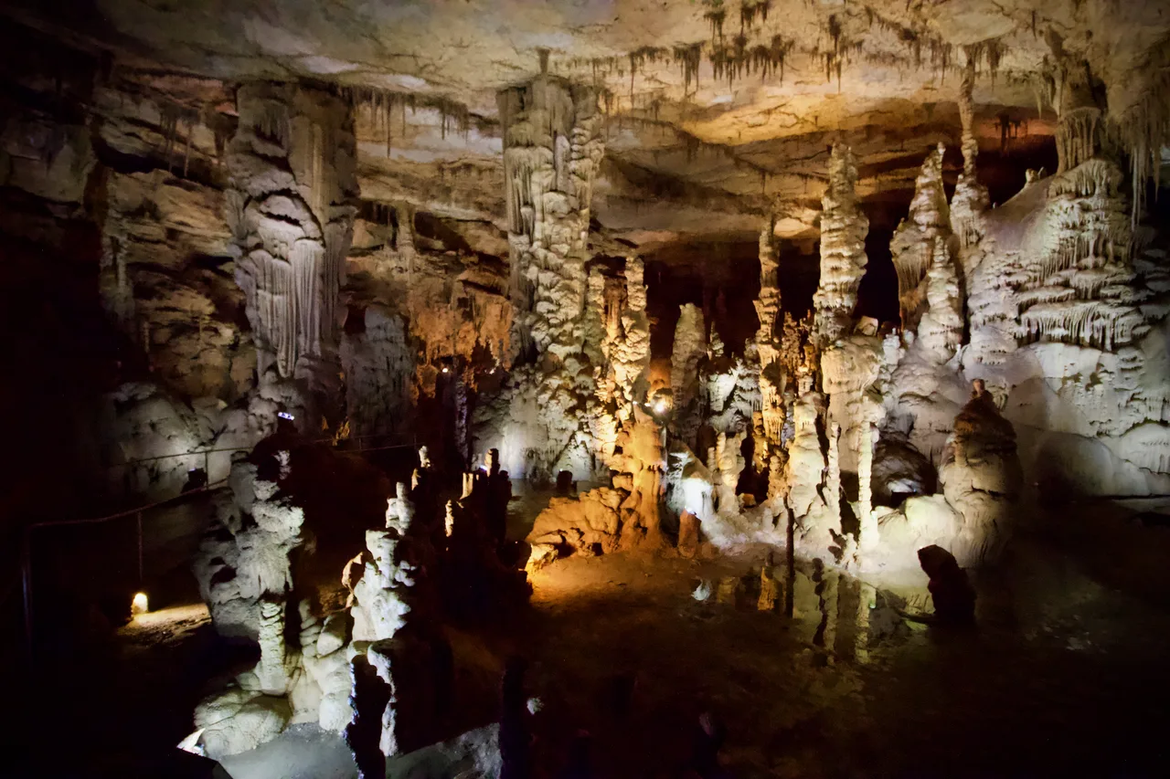
Cathedral Caverns State Park (Woodville) · Appalachian & Blue Ridge · Alabama
Massive 126-foot-wide, 25-foot-high cavern entrance opening into a subterranean limestone canyon housing a 45-foot stalagmite and underground waterfall.
Photo: Diegoandrade · CC BY-SA 4.0

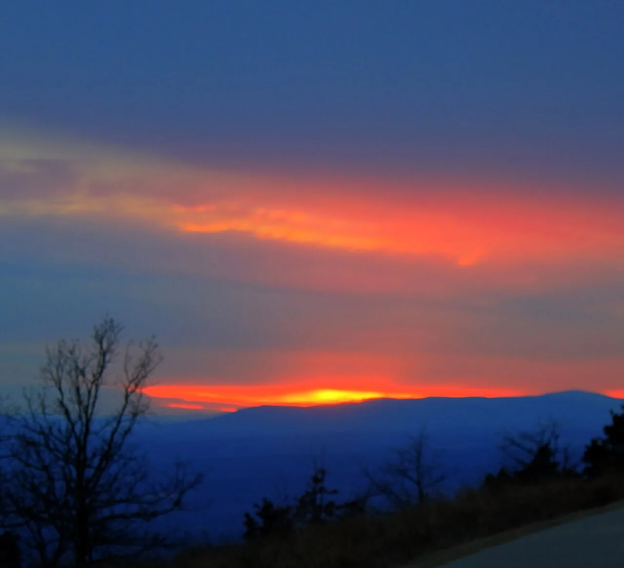
Mount Magazine State Park (Ozark-St. Francis NF) · South & Gulf Coast · Arkansas
Highest point in Arkansas (2,753 ft) crowned by sheer sandstone hang-gliding cliffs overlooking the Petit Jean River Valley.
Photo: Yinan Chen · Public domain

Jekyll Island State Park (Golden Isles) · Atlantic & Gulf Coasts · Georgia
Sun-bleached ancient live oak and pine skeletons sculpted across the northern Atlantic shore of Jekyll Island, connected by a 22-mile paved island bikeway.
Photo: DiscoA340 · CC BY-SA 4.0

Falls of the Ohio State Park · Ohio River / Clarksville · Indiana
One of the world's largest naturally exposed 390-million-year-old Devonian fossil coral beds, accessible directly on foot across Ohio River limestone ledges.
Photo: Darkstarcrashes · CC BY-SA 4.0

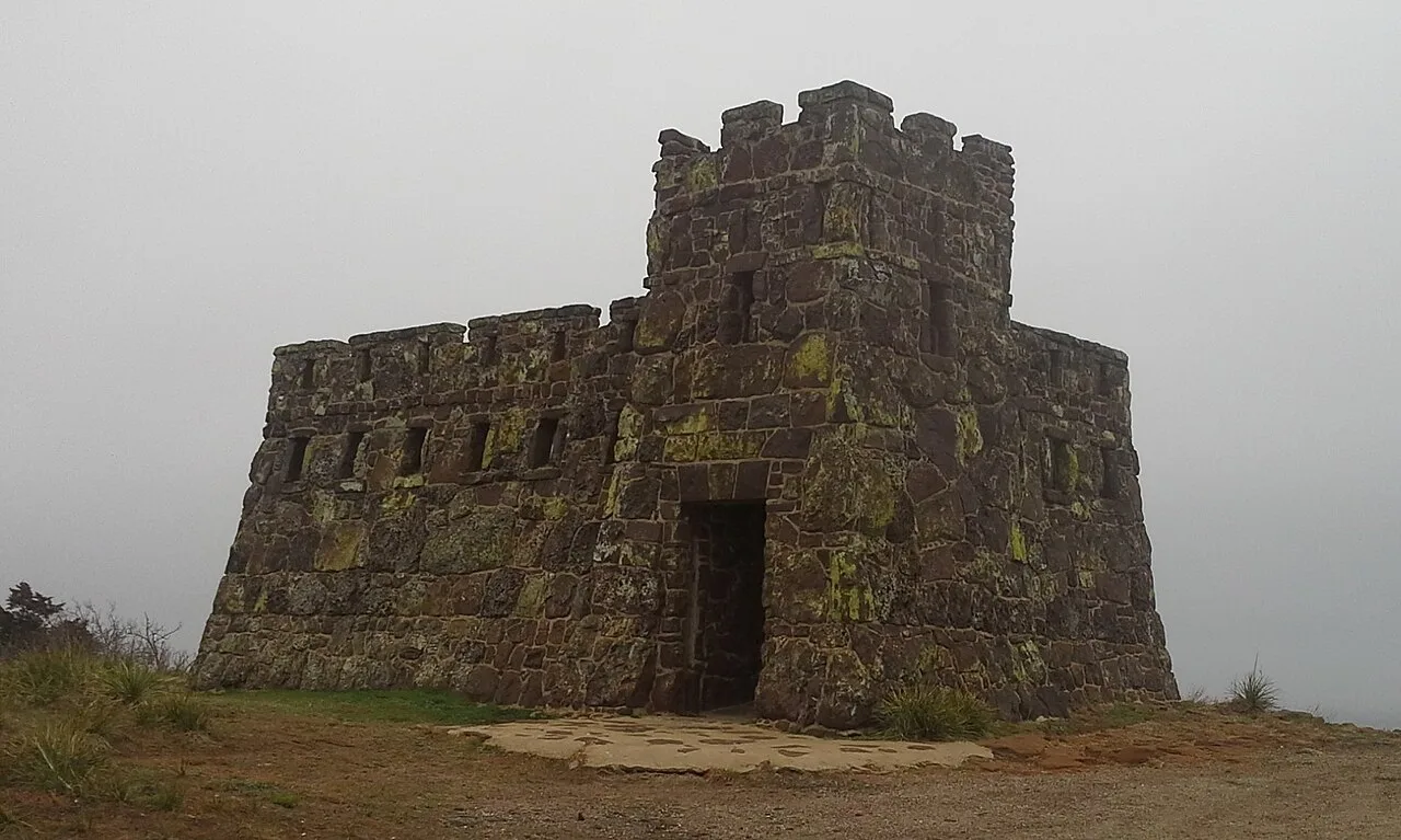
Coronado Heights Park (Lindsborg) · Smoky Hills · Kansas
WPA sandstone castle perched 300 feet above the Smoky Hill River valley where Spanish explorer Coronado looked in vain for the golden Seven Cities of Cíbola.
Photo: Swampyank · CC BY-SA 3.0

Sugarloaf Mountain Natural Landmark · Piedmont / Frederick County · Maryland
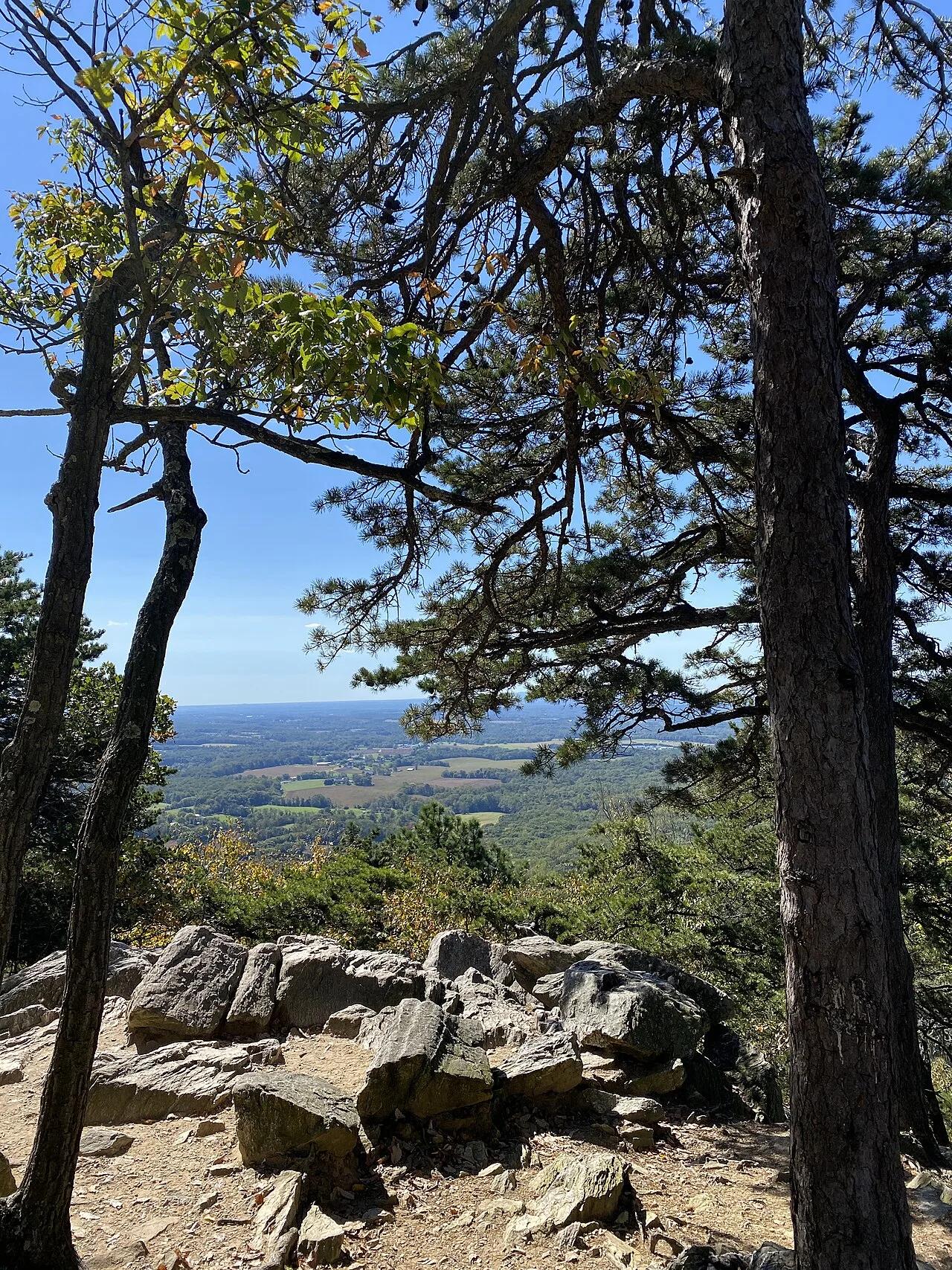
An isolated quartzite monadnock rising 800 feet above the surrounding farmland with sweeping views of the Blue Ridge and Monocacy River.
Photo: TheTurducken · CC BY 2.0

Lake McConaughy State Recreation Area (Ogallala) · Western Nebraska · Nebraska
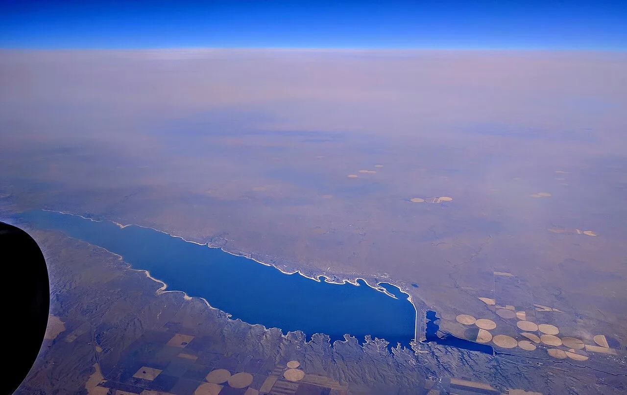
Nebraska's 'Big Water' reservoir, famed for over 20 miles of pristine white sand beaches along crystal blue waters framed by Kingsley Dam.
Photo: Dicklyon · CC BY-SA 4.0

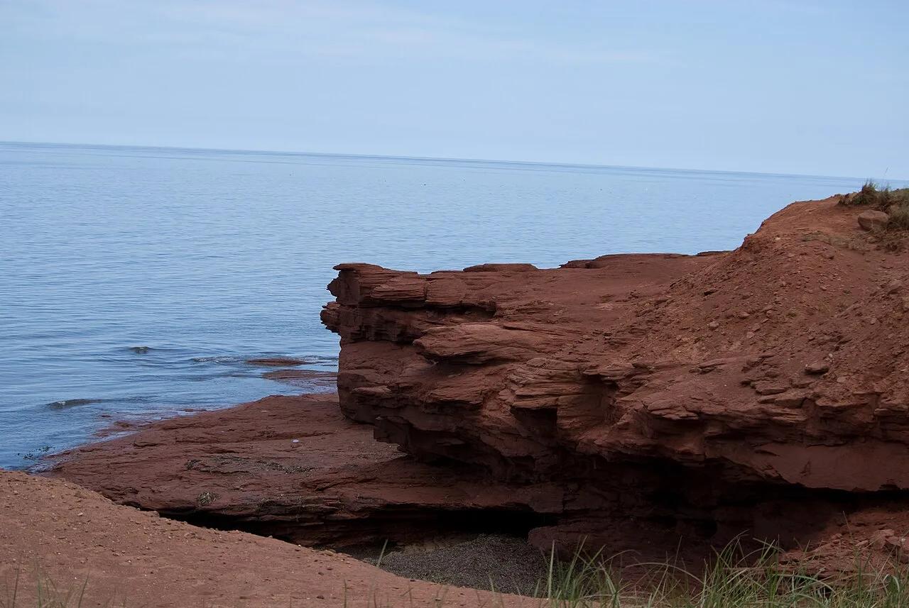
Prince Edward Island National Park · Atlantic Canada · Canada
Floating boardwalks across freshwater ponds, parabolic coastal sand dunes, and red Carboniferous sandstone sea cliffs along the Gulf of St. Lawrence.
Photo: CP Hoffman from Washington, DC, United States · CC BY-SA 2.0

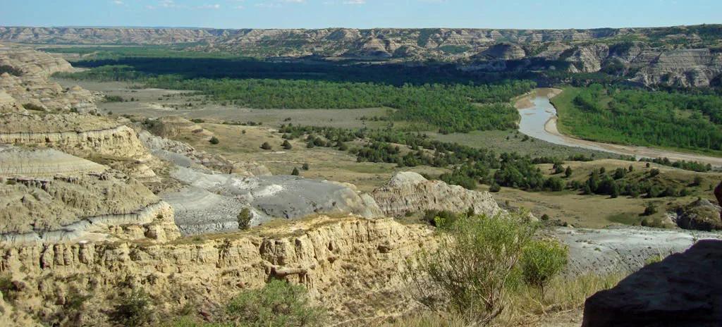
Little Missouri State Park (Killdeer) · Great Plains & Heartland · North Dakota
6,400 acres of rugged badlands hoodoos, bentonite clay domes, and juniper coulees overlooking the winding Little Missouri River.
Photo: National Park Service; uploaded by User:Finetooth · Public domain

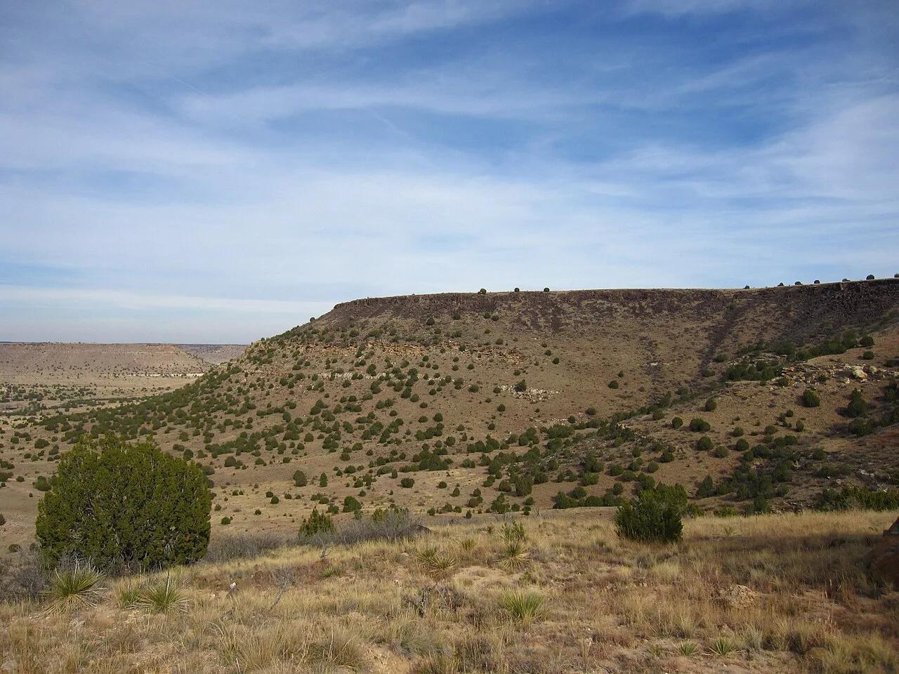
Black Mesa State Park & Nature Preserve (Kenton) · Panhandle · Oklahoma
The highest point in Oklahoma (4,973 feet) atop a dramatic black basalt volcanic lava flow mesa on the tri-state border with Colorado and New Mexico.
Photo: Chris M · CC BY 2.0

Devils Fork State Park (Salem) · Appalachian & Blue Ridge · South Carolina
7,500-acre mountain-rimmed emerald reservoir fed by four Appalachian rivers and waterfall coves accessible only by kayak or boat.
Photo: P. Hughes · CC BY 4.0

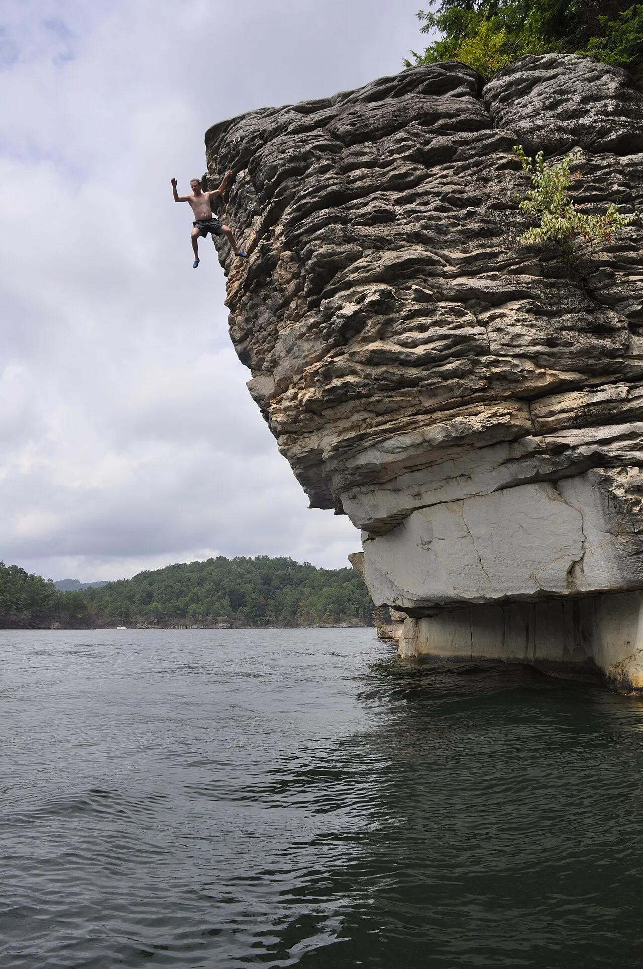
Summersville Lake State Park · Appalachian & Blue Ridge · West Virginia
The 'Little Bahamas of the East'—crystal-clear emerald reservoir framed by 100-foot golden Nuttall sandstone cliffs explored by kayak and cliff trail.
Photo: Jarek Tuszyński · CC BY-SA 4.0

Golden Gate Park · San Francisco Bay Area
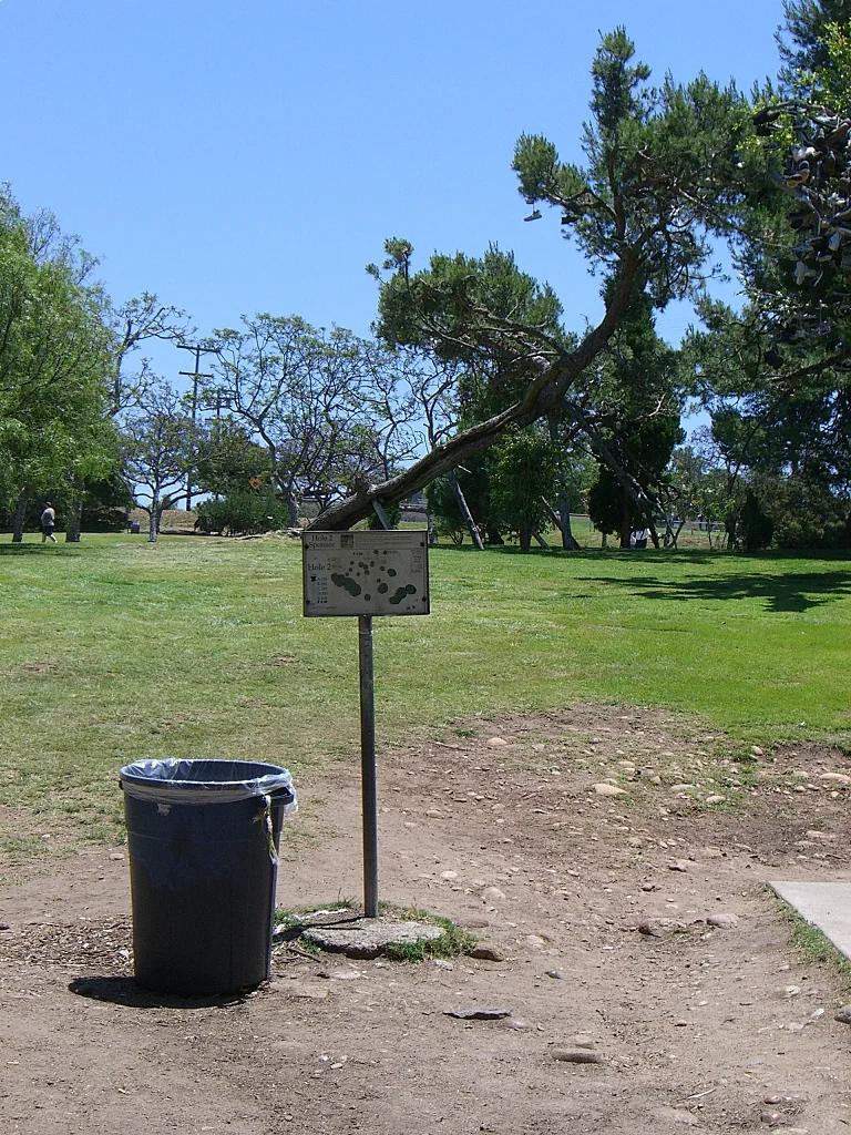
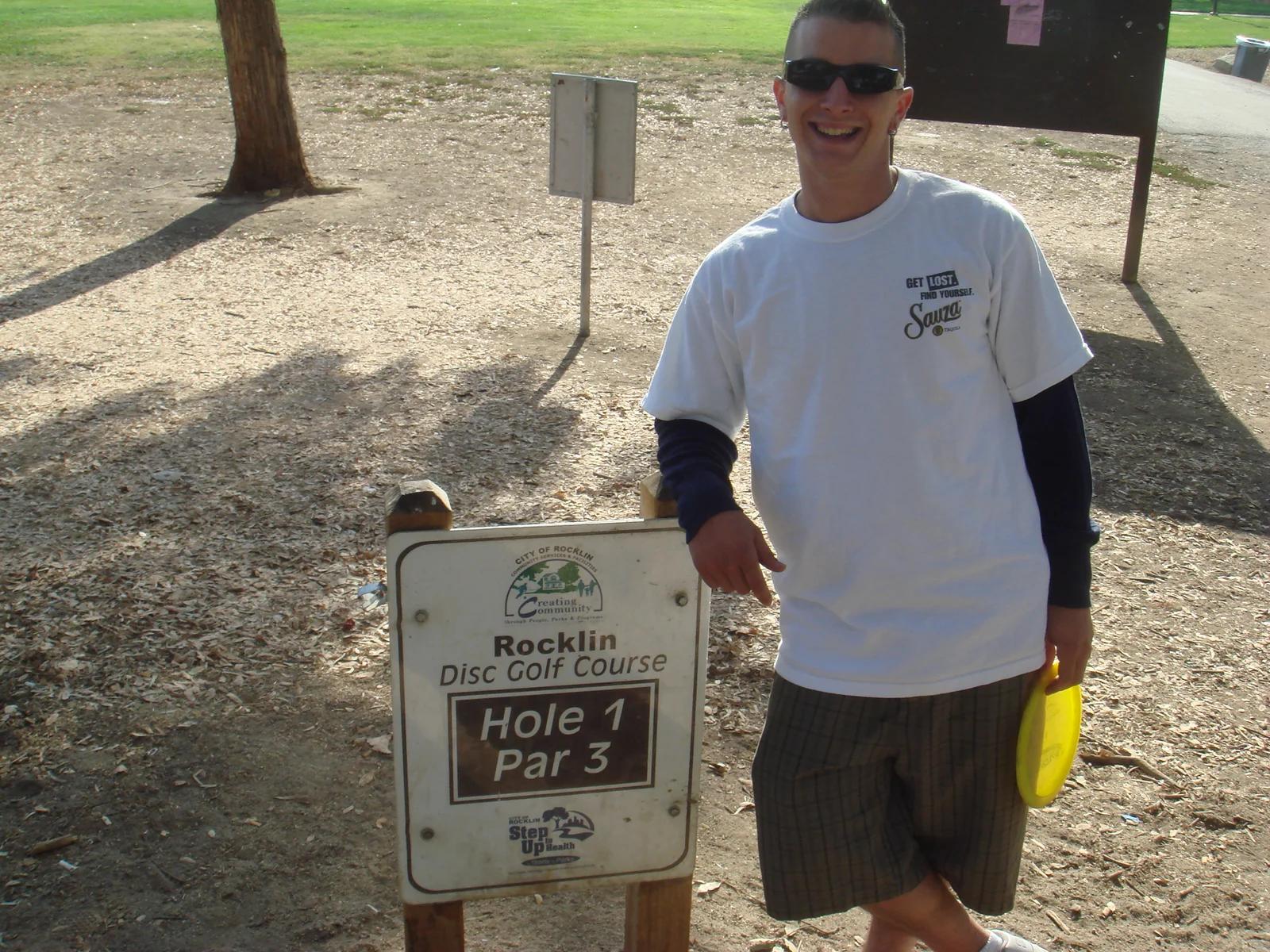
Premier 18-hole championship disc golf course weaving through Monterey cypress and eucalyptus groves in San Francisco's flagship park.
Photo: Steve Ganz · CC BY 2.0

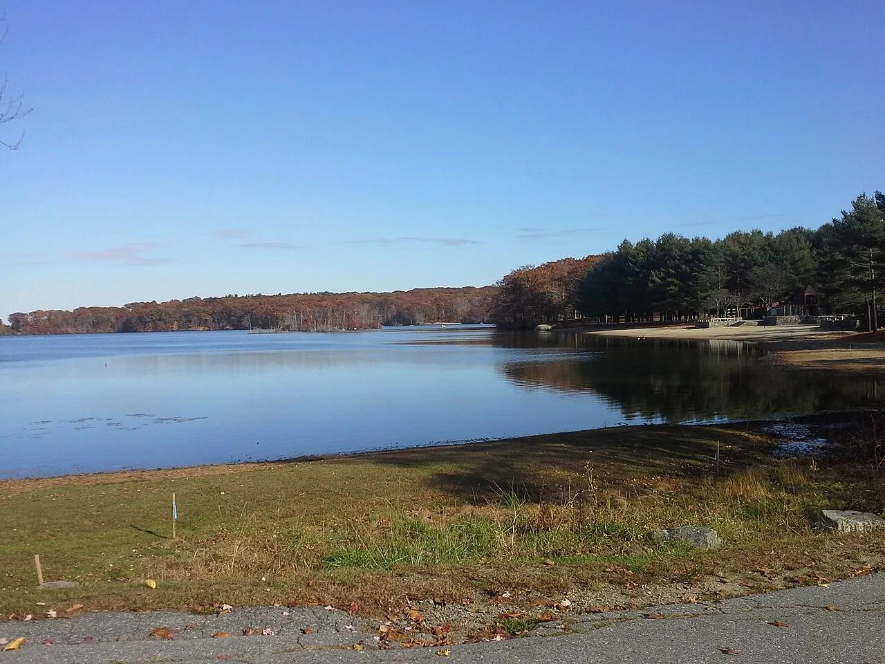
Lums Pond State Park (Bear) · Northeast & New England · Delaware
Delaware's largest freshwater millpond encircled by a 7.5-mile flat hiking/biking loop, championship disc golf course, and calm paddling coves.
Photo: Moon Rhythm from living under the milky way · CC BY 2.0

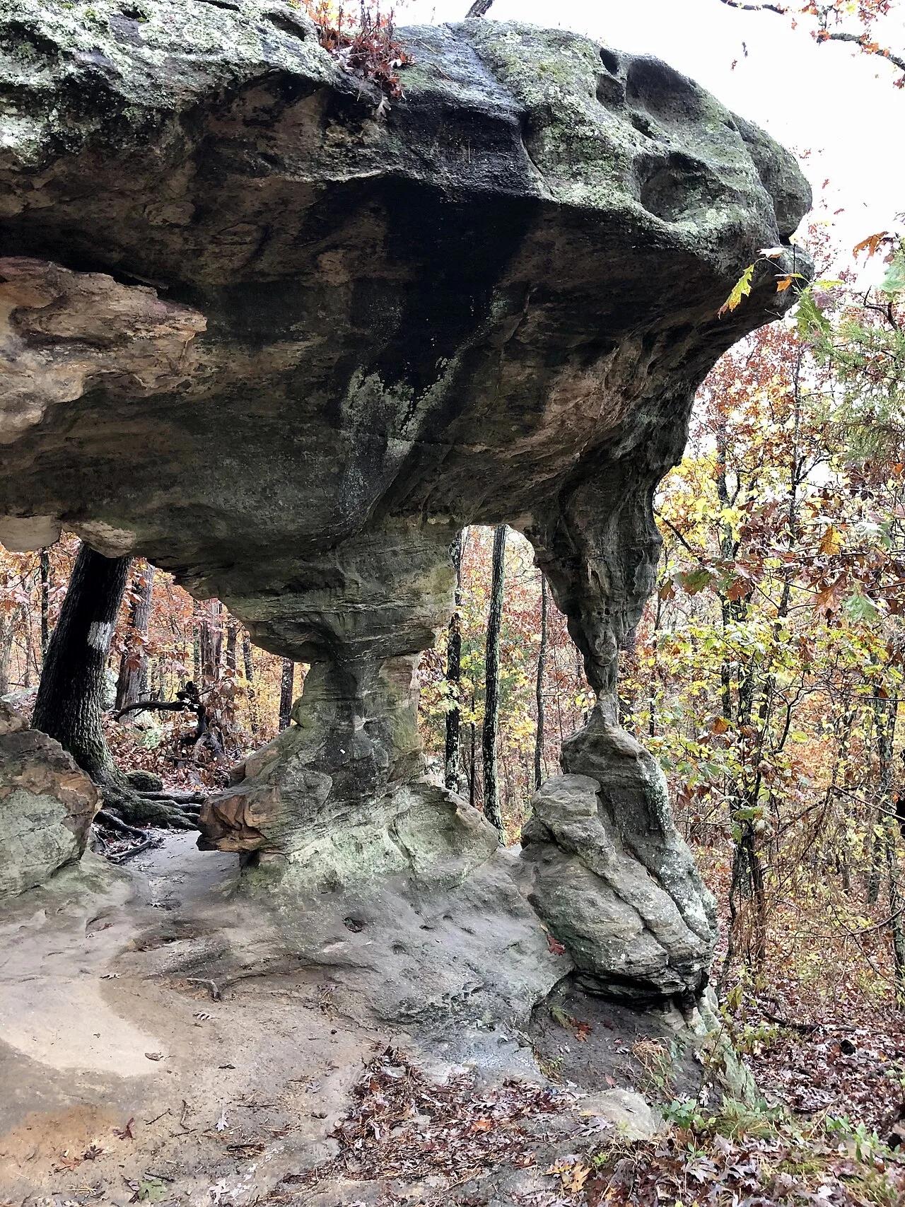
Shawnee National Forest (Ozark) · Southern Illinois / Shawnee · Illinois
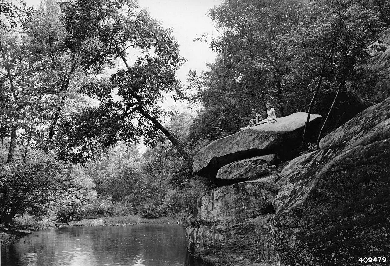
Spectacular sandstone canyon featuring clear stream swimming pools, a 125-foot natural stone bridge, and the soaring fin of Devil's Backbone.
Photo: Unknown authorUnknown author or not provided · Public domain

Hitchcock Nature Center (Pottawattamie County) · Loess Hills · Iowa
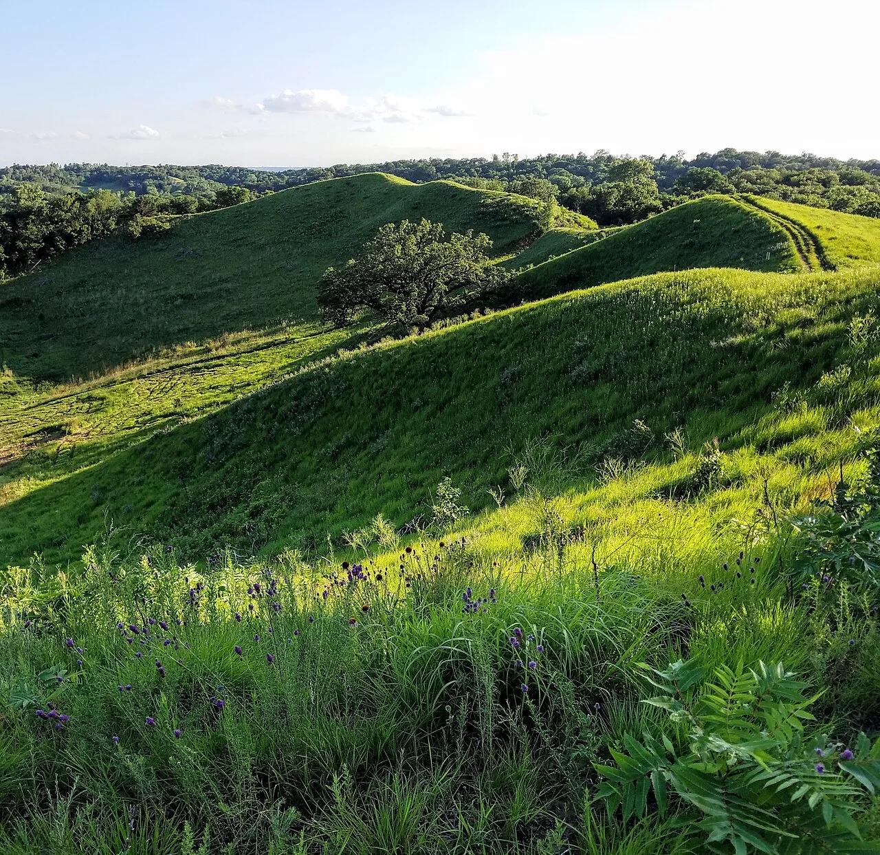
Knife-edge windblown silt ridges rising 200 feet above the Missouri River floodplain, famous for fall raptor migrations and HawkWatch tower views.
Photo: cassi saari · CC BY-SA 4.0

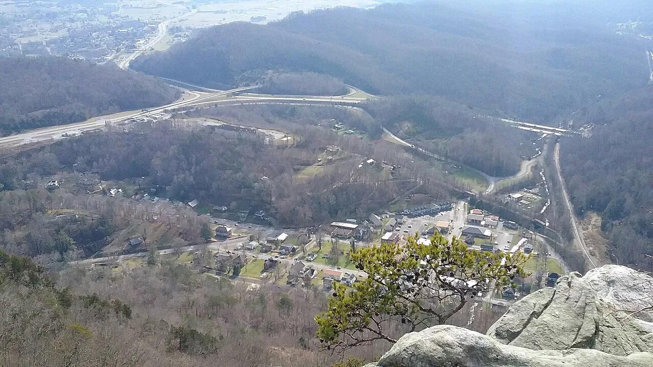
Cumberland Gap National Historical Park · Appalachian & Blue Ridge · Kentucky
2,440-foot limestone cliff overlook above the historic Wilderness Road gap where Kentucky, Virginia, and Tennessee meet.
Photo: Bneu2013 · CC BY-SA 4.0

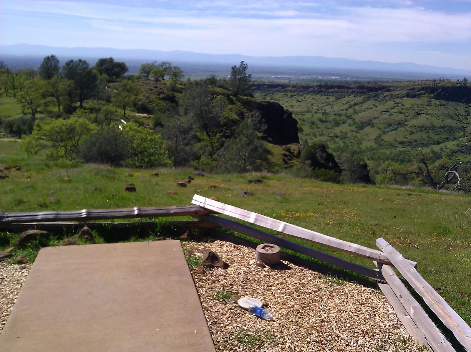
Upper Bidwell Park · Sacramento Valley
Dramatic cliffside course perched on the volcanic rims of Upper Bidwell Park, overlooking Iron Canyon and Big Chico Creek.
Photo: Doug Orleans from Somerville, MA, USA · CC BY-SA 2.0

Grand Isle State Park · Atlantic & Gulf Coasts · Louisiana
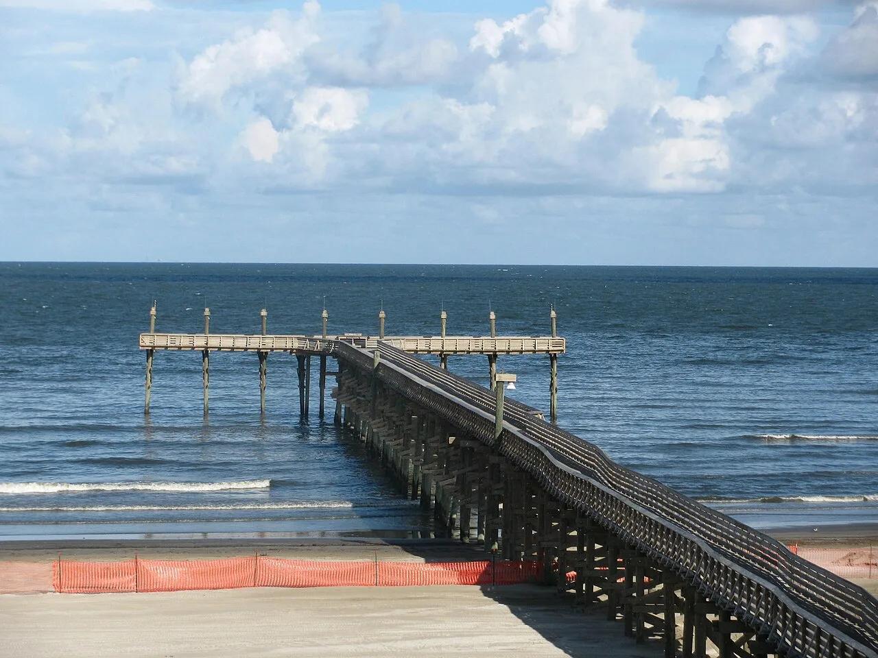
Louisiana's only inhabited barrier island, offering a mile of Gulf of Mexico surf beach, live-oak chenier birding trails, and a 400-foot fishing pier.
Photo: Rebecca Milby · CC BY 2.0