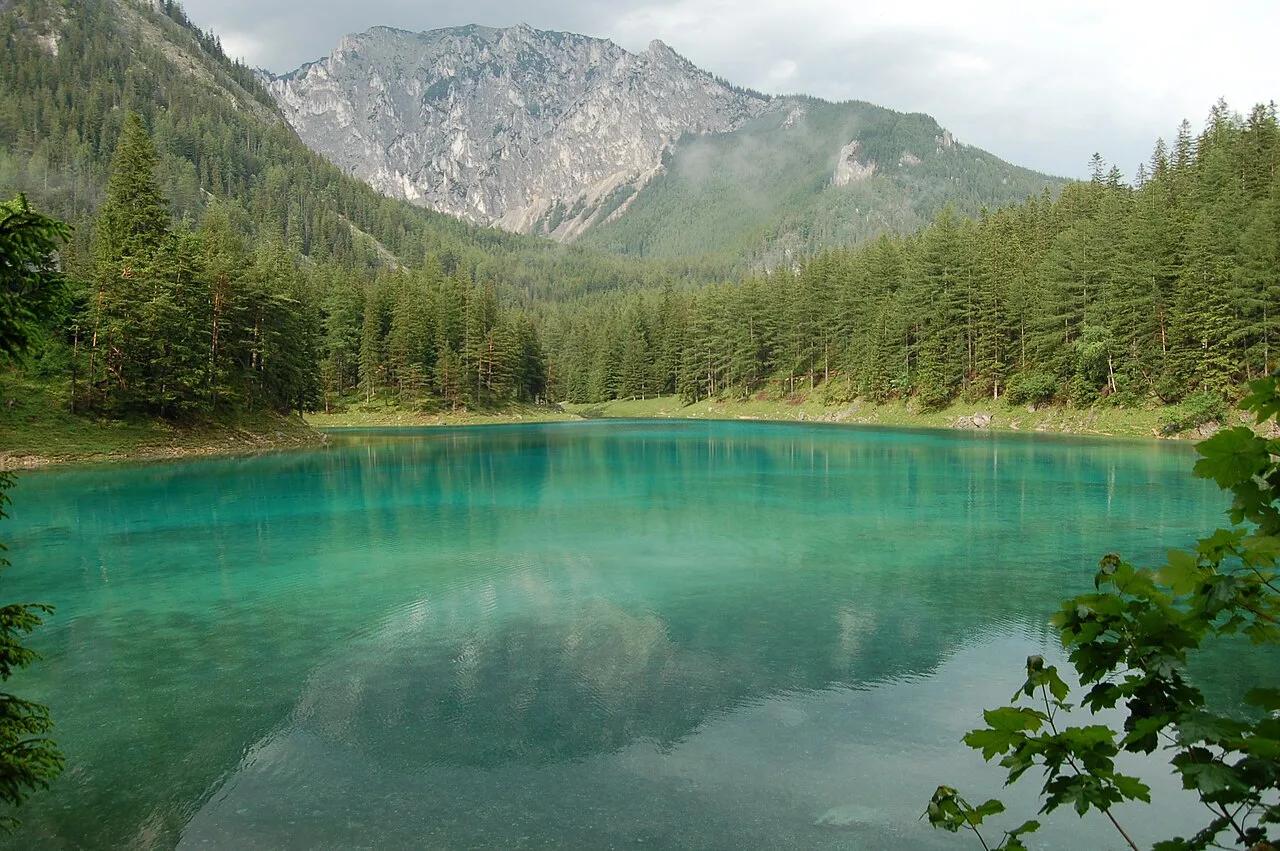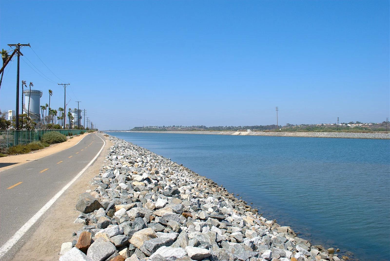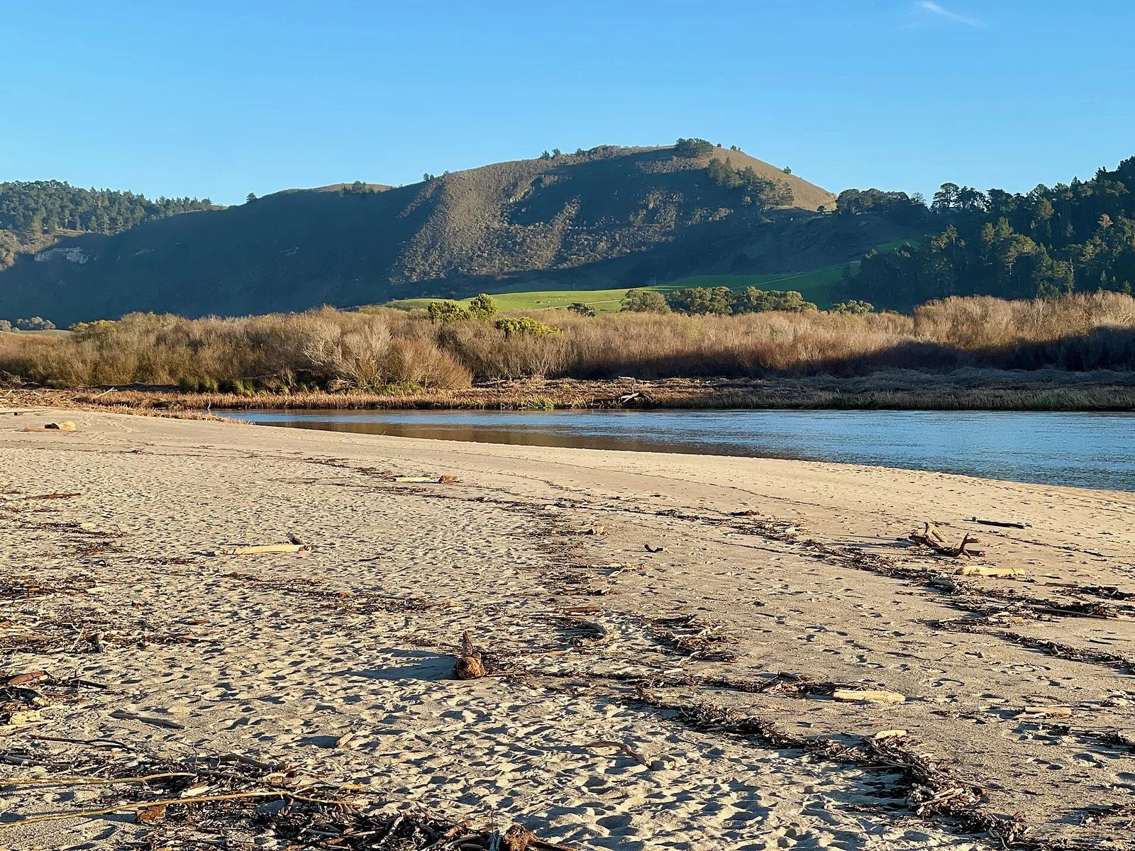
Monterey Bay Coastal Park · Central Coast
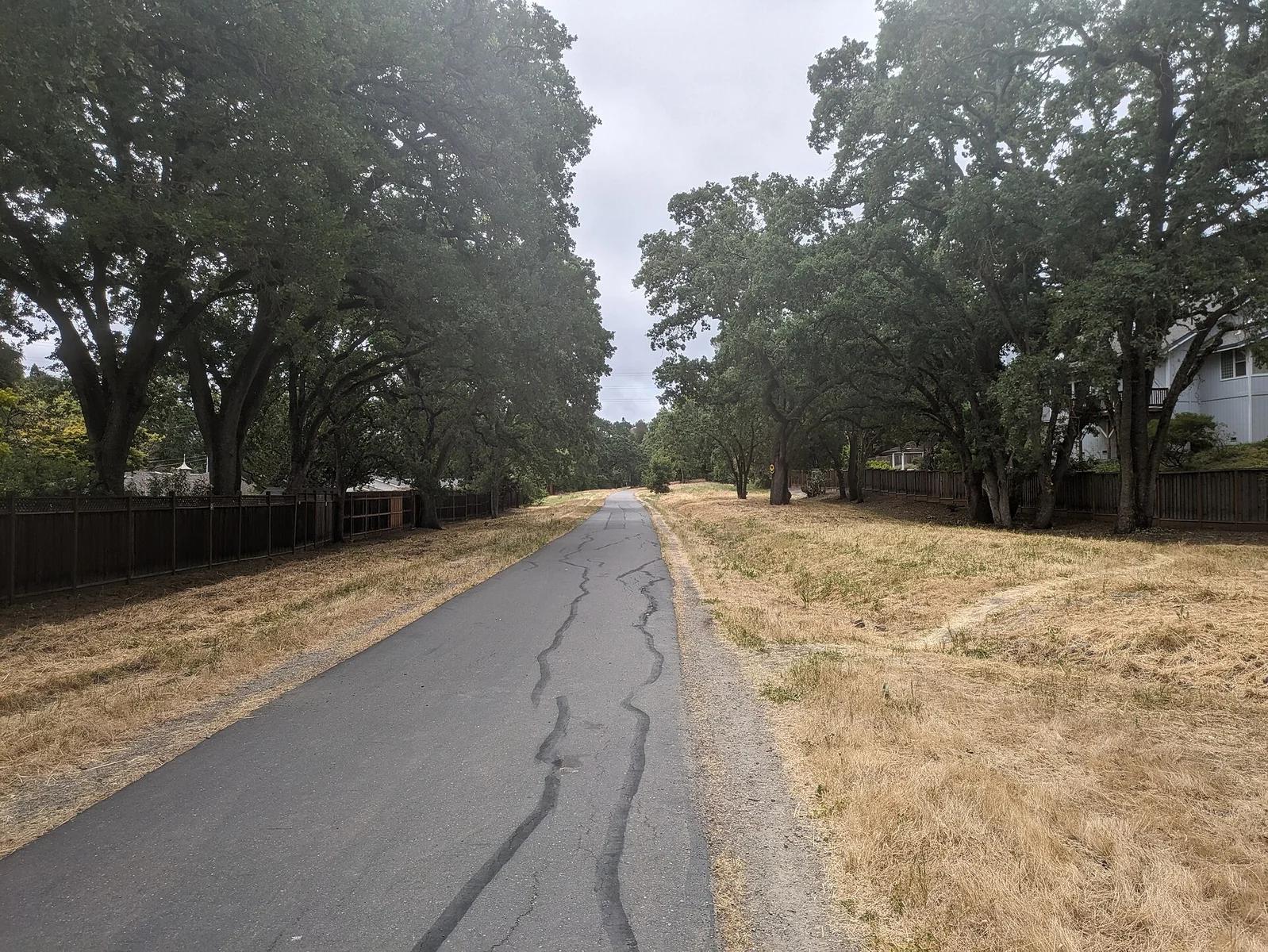
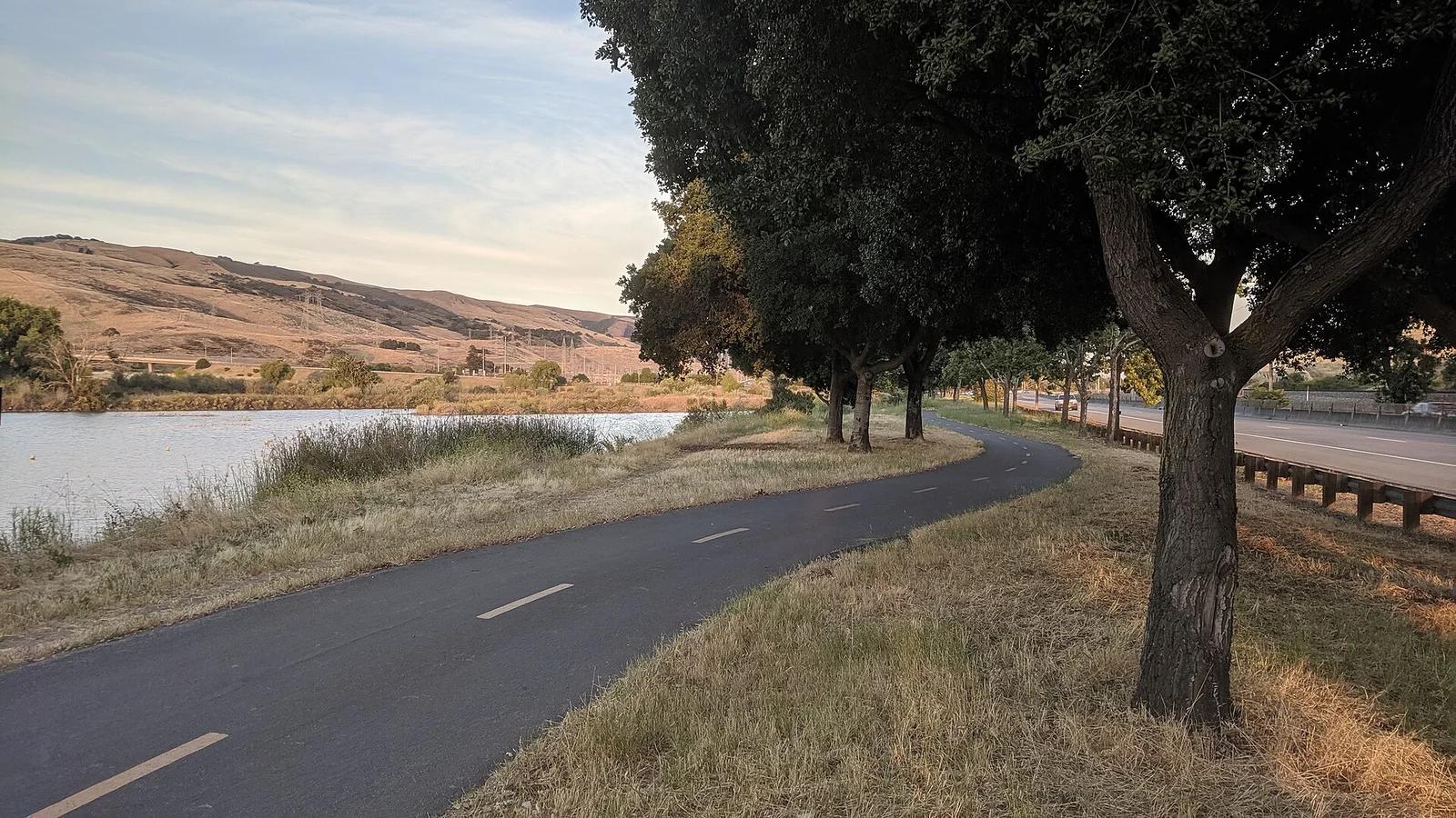
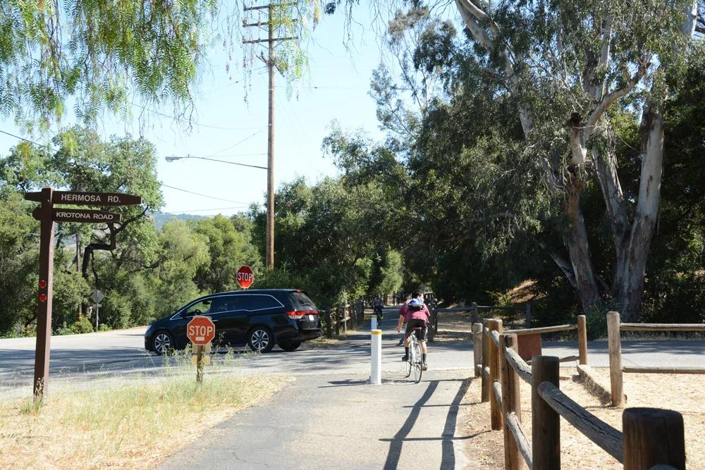
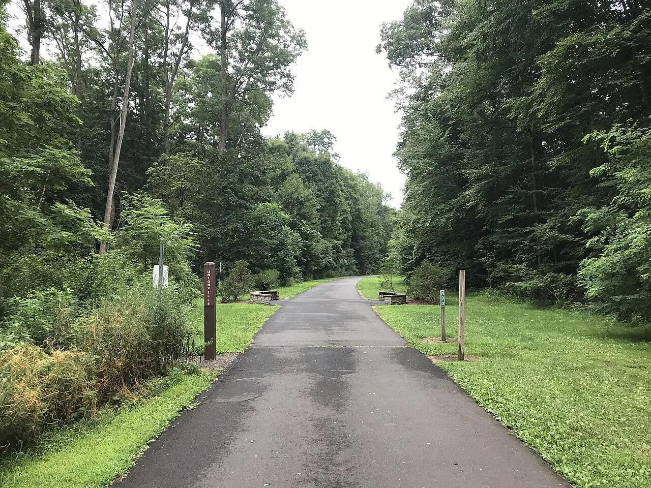
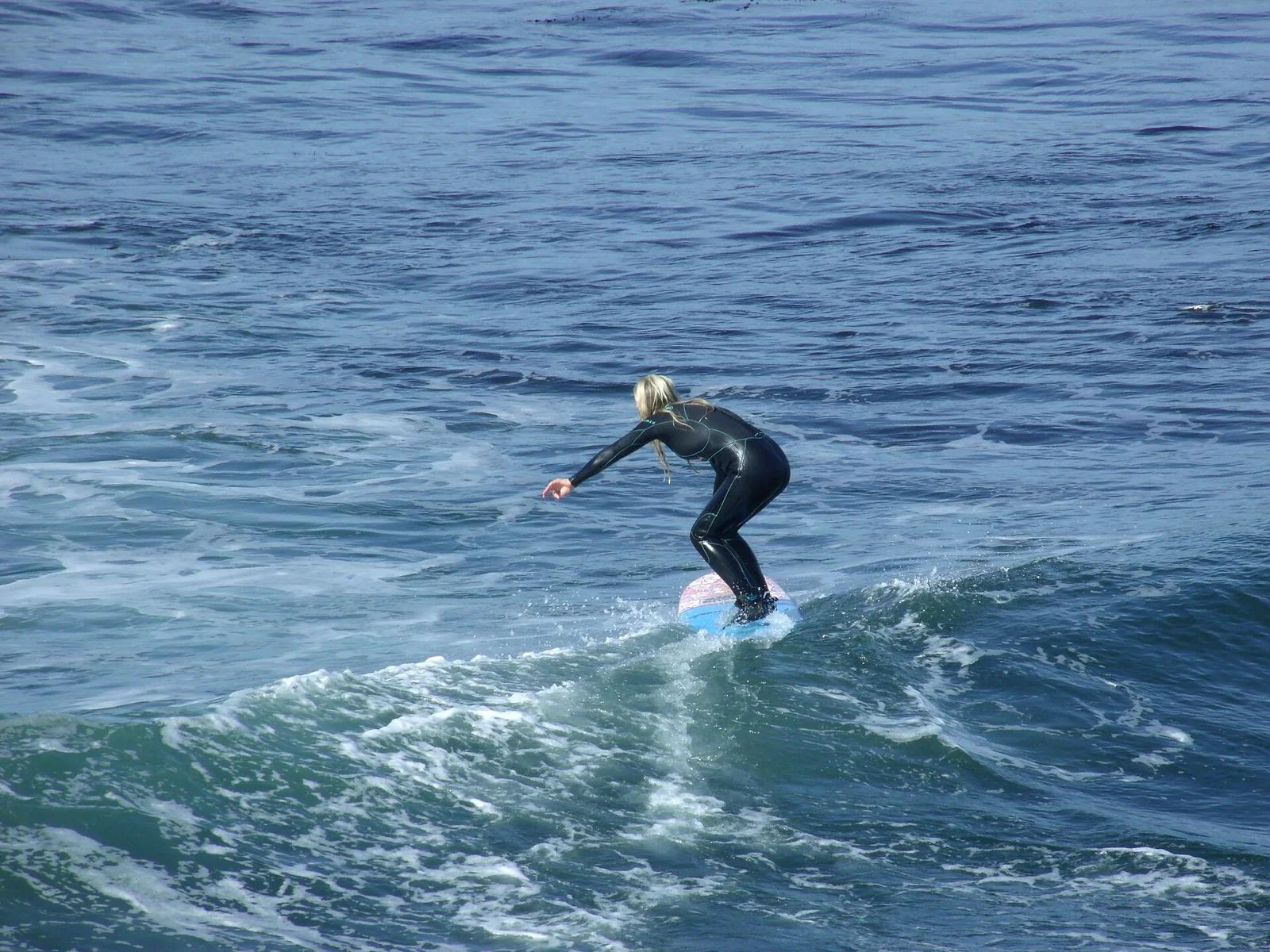
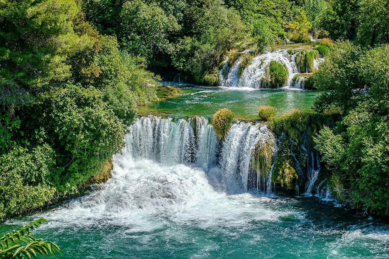
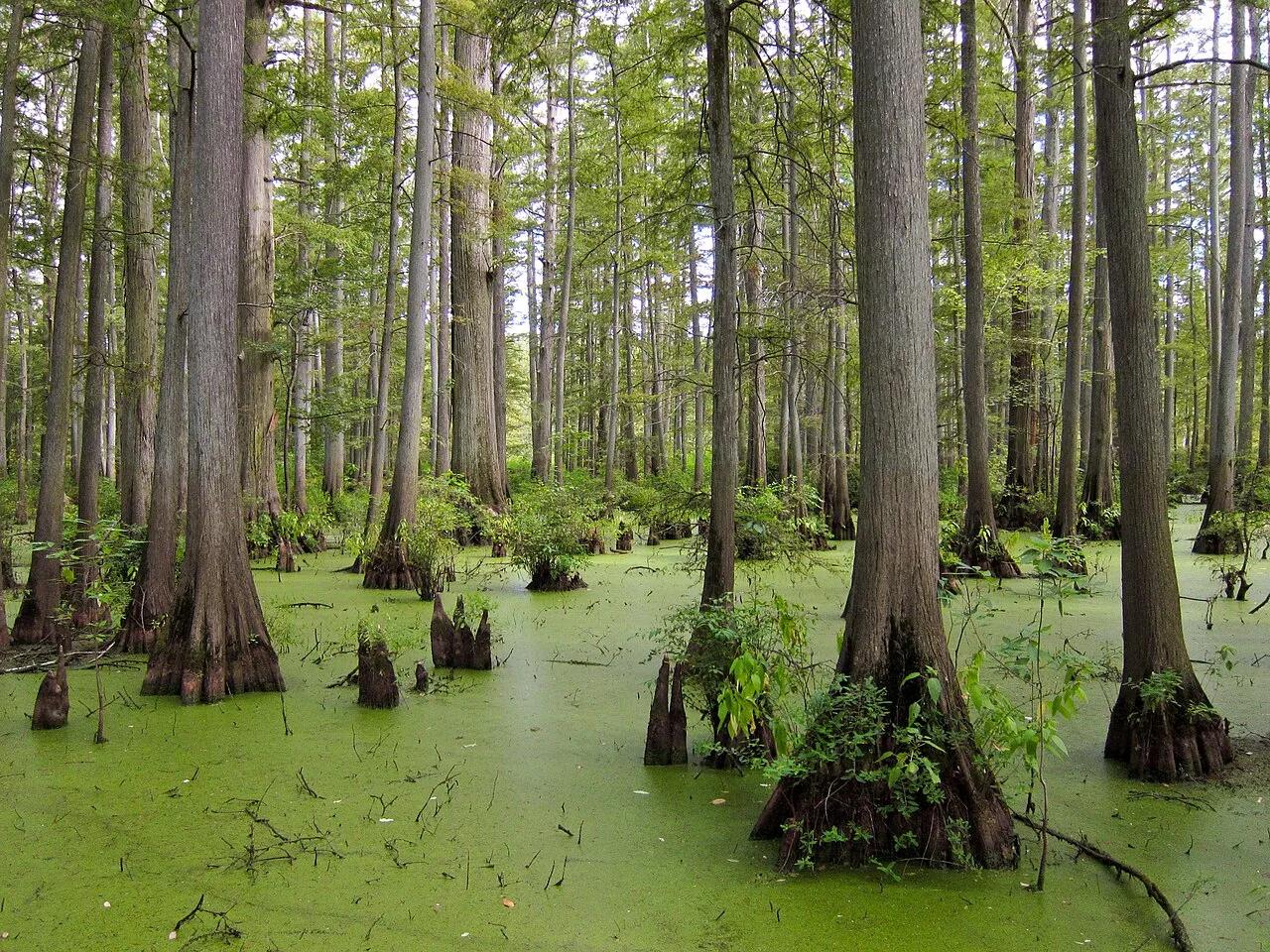
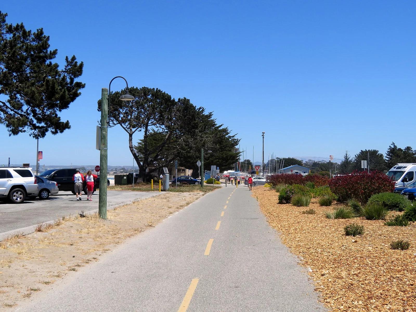
Monterey Bay Coastal Recreation Trail
Spectacular 18-mile waterfront trail traversing Cannery Row, Old Fisherman's Wharf, Pacific Grove coastline, and the Monterey Bay sanctuary.
- Route
- 9.9 mi
- Climb
- 459 ft
Browse & Discover
Filter by activity, state, region, dog policy, or route effort — or use the interactive map below to find waterfalls, trails, beaches, bikeways, skateparks, and campgrounds near any location.
1,108 of 2,051 places
Drag to pan. Double-click, pinch or scroll to zoom. Keyboard: arrow keys and +/−. Cards below remain available.
Loading map… Browse the spot cards below at any time.

Eaton Canyon Natural Area
The waterfall at the head of lower Eaton Canyon, reached by a wide wash walk from the Eaton Canyon Nature Center and a final creekside scramble.
[scott.medling or en:user:scott.medling user:scott.medling from California, United States] · CC BY-SA 2.0. Source & image licence

Angeles National Forest
The ruined mountain resort of the Mount Lowe Railway, on a front-range promontory above Altadena at the top of the Lower Sam Merrill Trail.
Lennonrodgers at en.wikipedia · Public domain. Source & image licence

Escondido Canyon Park
A multi-tiered waterfall in Escondido Canyon above Malibu. The maintained trail ends at the base of the mossy lower tier.
Santa Monica Mountains National Recreation Area · Public domain. Source & image licence

Inyo National Forest
A chain of small alpine lakes at the head of Little Lakes Valley in the John Muir Wilderness, below the 13,000-foot peaks of the Bear Creek Spire cirque.
Jane S. Richardson (talk · contribs) · CC BY-SA 3.0. Source & image licence

Angeles National Forest
A high saddle and five-way trail junction on the Cucamonga Wilderness ridge, at the top of the steady climb up Icehouse Canyon.
Jason Hollinger · CC BY 2.0. Source & image licence

Mount Tamalpais Watershed
A winter-and-spring cascade on Cataract Creek just below the Laurel Dell picnic area, reached downhill along the Cataract Trail from Rock Spring.
Richard Wood · CC BY-SA 3.0. Source & image licence

Angeles National Forest
A waterfall of about fifty feet filling the head of a narrow, shaded canyon, a short walk upstream from Millard Campground.
Region 5 Photography · Public domain. Source & image licence

Mission Peak Regional Preserve
The bare grassland summit above Fremont, marked by the Mission Peeker sighting pole and climbed by the Hidden Valley Trail from Stanford Avenue.
Oleg Alexandrov · CC BY-SA 3.0. Source & image licence

Angeles National Forest
The highest summit of the San Gabriel Mountains, reached from Baldy Notch along the exposed Devils Backbone ridge.
Darkest tree · CC BY-SA 4.0. Source & image licence

Inyo National Forest
A quiet lake in the Ansel Adams Wilderness beneath Parker Peak, reached through sage and an aspen-lined creek canyon off the June Lake Loop.
Mark Gunn from Novato, California, USA · CC BY 2.0. Source & image licence

Santa Monica Mountains National Recreation Area
The highest point in the Santa Monica Mountains, climbed from the Mishe Mokwa trailhead along the Backbone Trail at Circle X Ranch.
Wasquewhat · CC BY-SA 4.0. Source & image licence

Angeles National Forest
A 50-foot single drop into a shallow plunge pool, 1.7 mi up Big Santa Anita Canyon. Shaded the entire way in. The work is all on the walk out.
U.S. Department of Agriculture / USDA USFS · CC BY 2.0. Source & image licence

Santa Monica Mountains National Recreation Area
The ruins of the Roberts family ranch house at the end of the canyon-floor trail in Solstice Canyon, beside a small seasonal waterfall.
George Heras / Santa Monica Mountains National Recreation Area · Public domain. Source & image licence

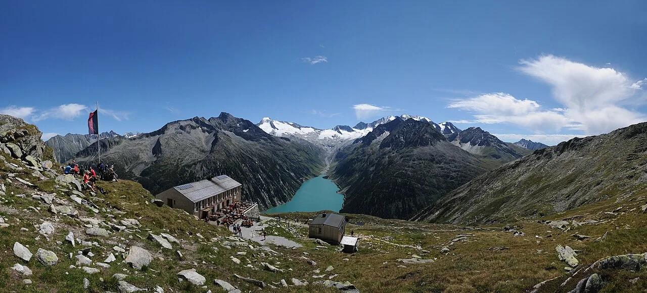
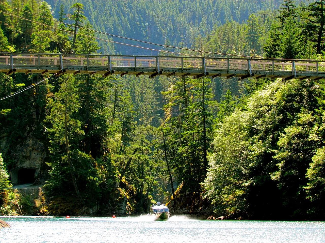
Zillertal Alps High Mountain Nature Park · European Alps · Austria
Stone alpine climb above turquoise Schlegeis Reservoir to a famous wooden suspension footbridge framing the glaciated Zillertal crest.
Photo: böhringer friedrich · CC BY-SA 2.5

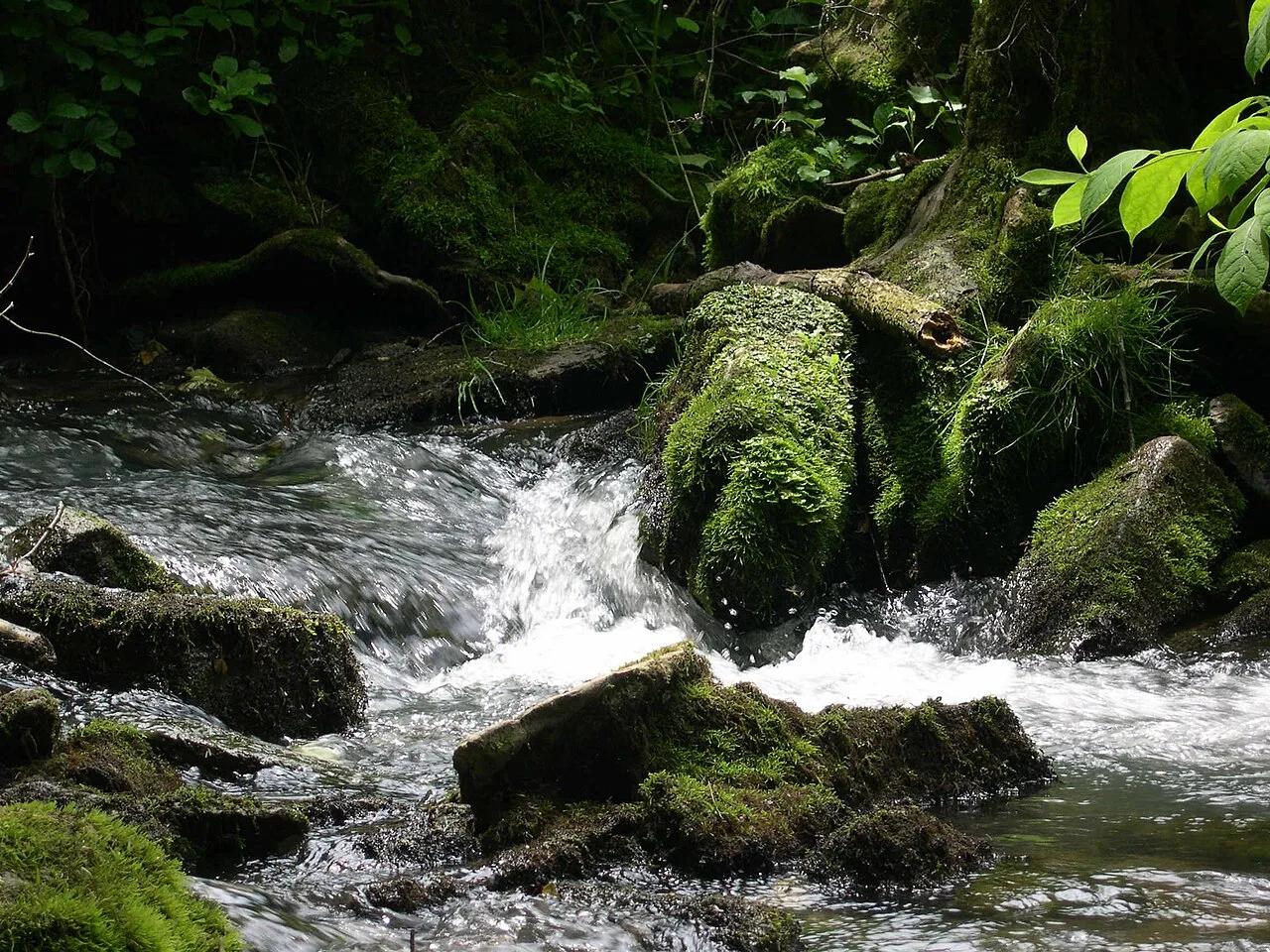
Spring Mill State Park (Mitchell) · Midwest & Great Lakes · Indiana
Subterranean karst stream rushing out of the monumental limestone mouth of Donaldson Cave through virgin old-growth white oak forest.
Photo: No machine-readable author provided. Rosebud3606 assumed (based on copyright ... · Public domain

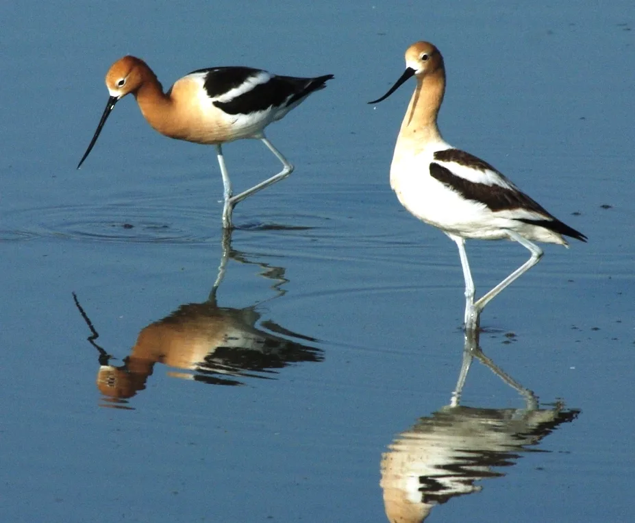
Cheyenne Bottoms Wildlife Area (Great Bend) · Central Kansas · Kansas
The largest inland marsh in the contiguous United States (41,000 acres), serving as a globally crucial migration stop for hundreds of thousands of shorebirds.
Photo: Raymond M. Coveney, … · CC BY-SA 3.0

Ouachita National Forest (Talihina) · Ouachita Mountains · Oklahoma
Panoramic ridgecrest spine of the ancient Ouachita Mountains along the Talimena National Scenic Byway, commanding vistas across emerald oak-pine valleys.
Photo: Unknown authorUnknown author or not provided · Public domain

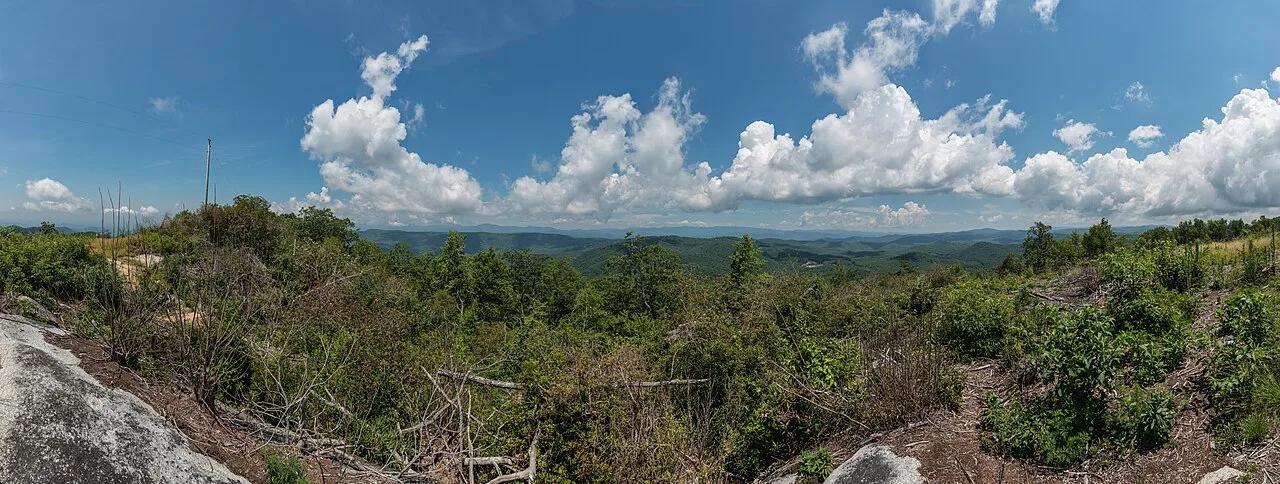
Foothills Trail / Jocassee Gorges · Appalachian & Blue Ridge · South Carolina
Highest point in South Carolina (3,553 ft) straddling the North Carolina border, anchored by a 360-degree Blue Ridge observation deck on the 77-mile Foothills Trail.
Photo: DXR · CC BY-SA 4.0

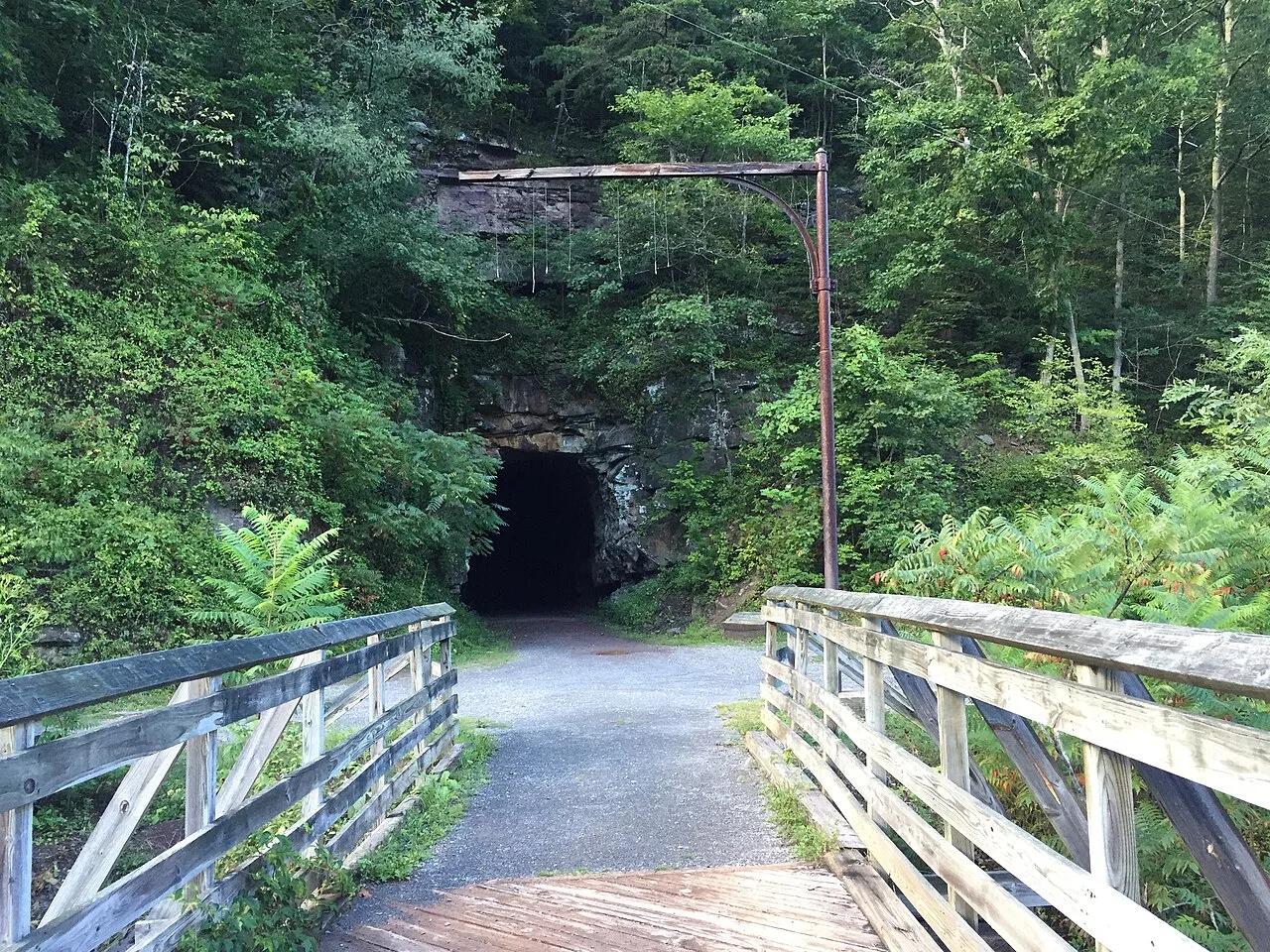
Greenbrier River Trail State Park · Appalachian & Blue Ridge · West Virginia
78-mile crushed-limestone rail-trail hugging the free-flowing Greenbrier River through two mountain tunnels and 35 bridges.
Photo: Brian M. Powell · CC BY-SA 4.0

Cache River State Natural Area (Belknap) · Midwest & Great Lakes · Illinois
Floating boardwalk into a 1,000-year-old Tupelo and Bald Cypress wetland sanctuary at the northernmost edge of the Gulf Coastal Plain.
Photo: Miguel.v · CC BY-SA 3.0

Preparation Canyon State Park (Moorhead) · Great Plains & Heartland · Iowa
Knife-edge windblown glacial silt ridges rising 200 feet above the Missouri River Valley—a landform rare outside China's Yellow River plateau.
Photo: Unknown authorUnknown author or not provided · Public domain

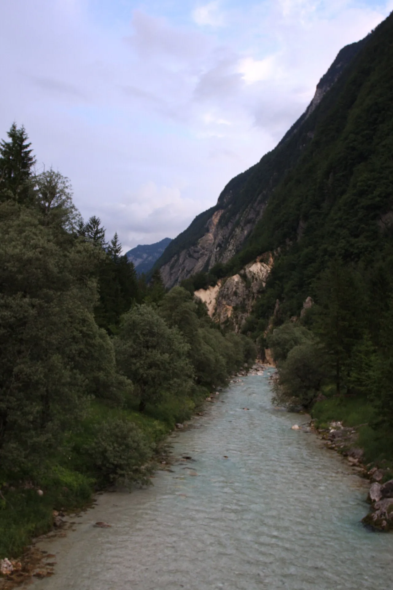
Paklenica National Park (Velebit Mountains) · Mediterranean Europe · Croatia
700-meter-high limestone cliffs of Anića Kuk rising above a rushing mountain stream just two kilometers from the Adriatic coast.
Photo: Pudelek (Marcin Szala) · CC BY-SA 3.0

Land Between the Lakes National Recreation Area · Appalachian & Blue Ridge · Kentucky
170,000-acre peninsula between Kentucky Lake and Lake Barkley featuring lakeside boardwalks, elk-and-bison prairie, and North/South singletrack.
Photo: Lasermanmcgee · CC BY-SA 4.0

Ozark National Scenic Riverways (Akers) · Midwest & Great Lakes · Missouri
120-million-gallon-per-day turquoise cave spring emerging beneath 1930s stone walls built directly over the mouth of a cool karst cavern on the Current River.
Photo: Kbh3rd · CC BY-SA 3.0

Beaver Ranch Community Park · Colorado & Rocky Mountains · Colorado
One of the highest-rated mountain disc golf courses in the world, with dramatic elevation changes among pine forests.
Photo: Jeffrey Beall · CC BY 4.0

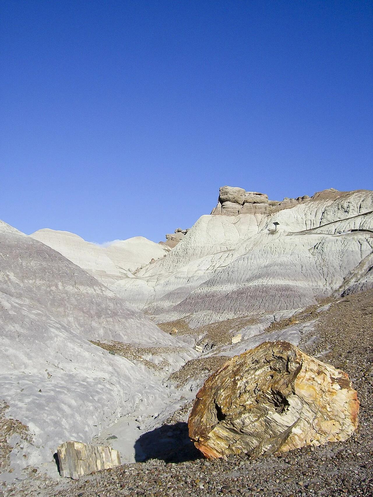
Petrified Forest National Park · American Southwest · Arizona
Paved pathway descending along a razorback spine into amethyst, blue, and lavender Triassic bentonite badlands studded with 225-million-year-old petrified logs.
Photo: Diego Delso · CC BY-SA 4.0