Viewpoint
Bureau of Land Management · Northern New Mexico · New Mexico
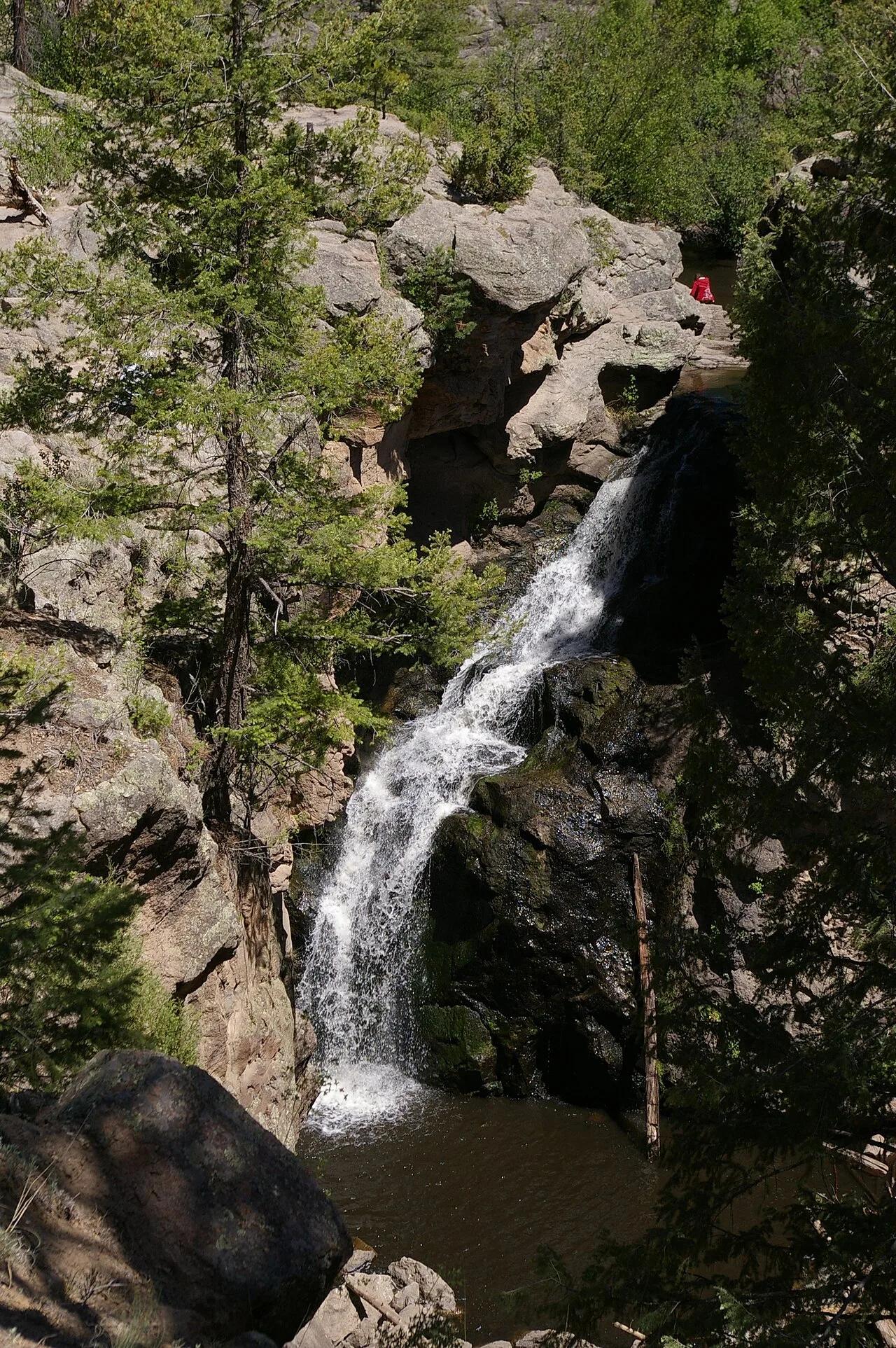
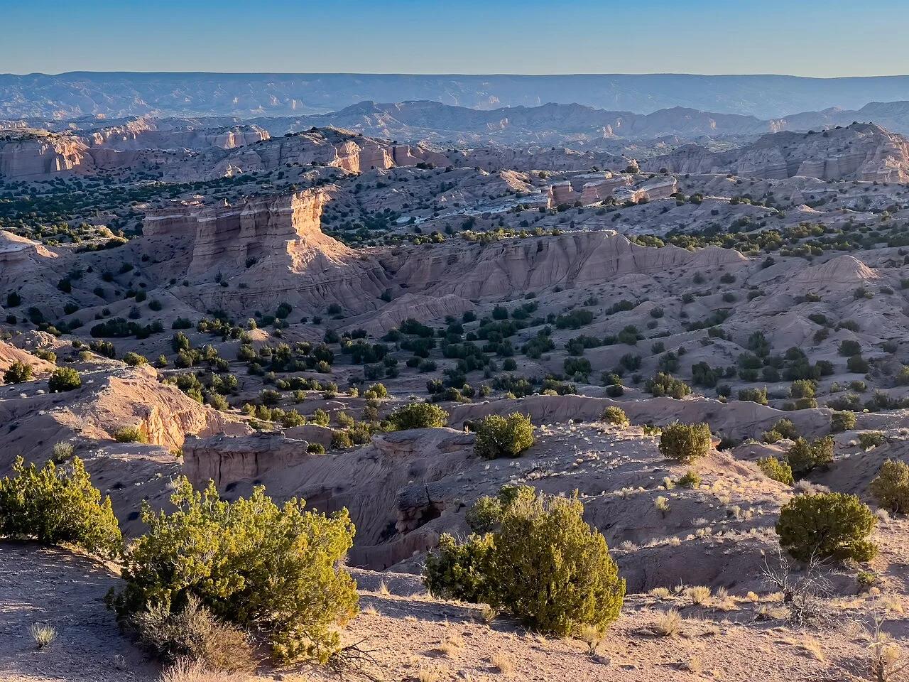
Nambé Badlands
Dramatic eroded siltstone badlands, sculpted caprocks, and labyrinthine arroyos north of Santa Fe.
- Route
- 3.8 mi
- Climb
- 459 ft
Browse & Discover
Filter by activity, state, region, dog policy, or route effort — or use the interactive map below to find waterfalls, trails, beaches, bikeways, skateparks, and campgrounds near any location.
968 of 2,051 places
Drag to pan. Double-click, pinch or scroll to zoom. Keyboard: arrow keys and +/−. Cards below remain available.
Loading map… Browse the spot cards below at any time.

Eaton Canyon Natural Area
The waterfall at the head of lower Eaton Canyon, reached by a wide wash walk from the Eaton Canyon Nature Center and a final creekside scramble.
[scott.medling or en:user:scott.medling user:scott.medling from California, United States] · CC BY-SA 2.0. Source & image licence

Angeles National Forest
The ruined mountain resort of the Mount Lowe Railway, on a front-range promontory above Altadena at the top of the Lower Sam Merrill Trail.
Lennonrodgers at en.wikipedia · Public domain. Source & image licence

Escondido Canyon Park
A multi-tiered waterfall in Escondido Canyon above Malibu. The maintained trail ends at the base of the mossy lower tier.
Santa Monica Mountains National Recreation Area · Public domain. Source & image licence

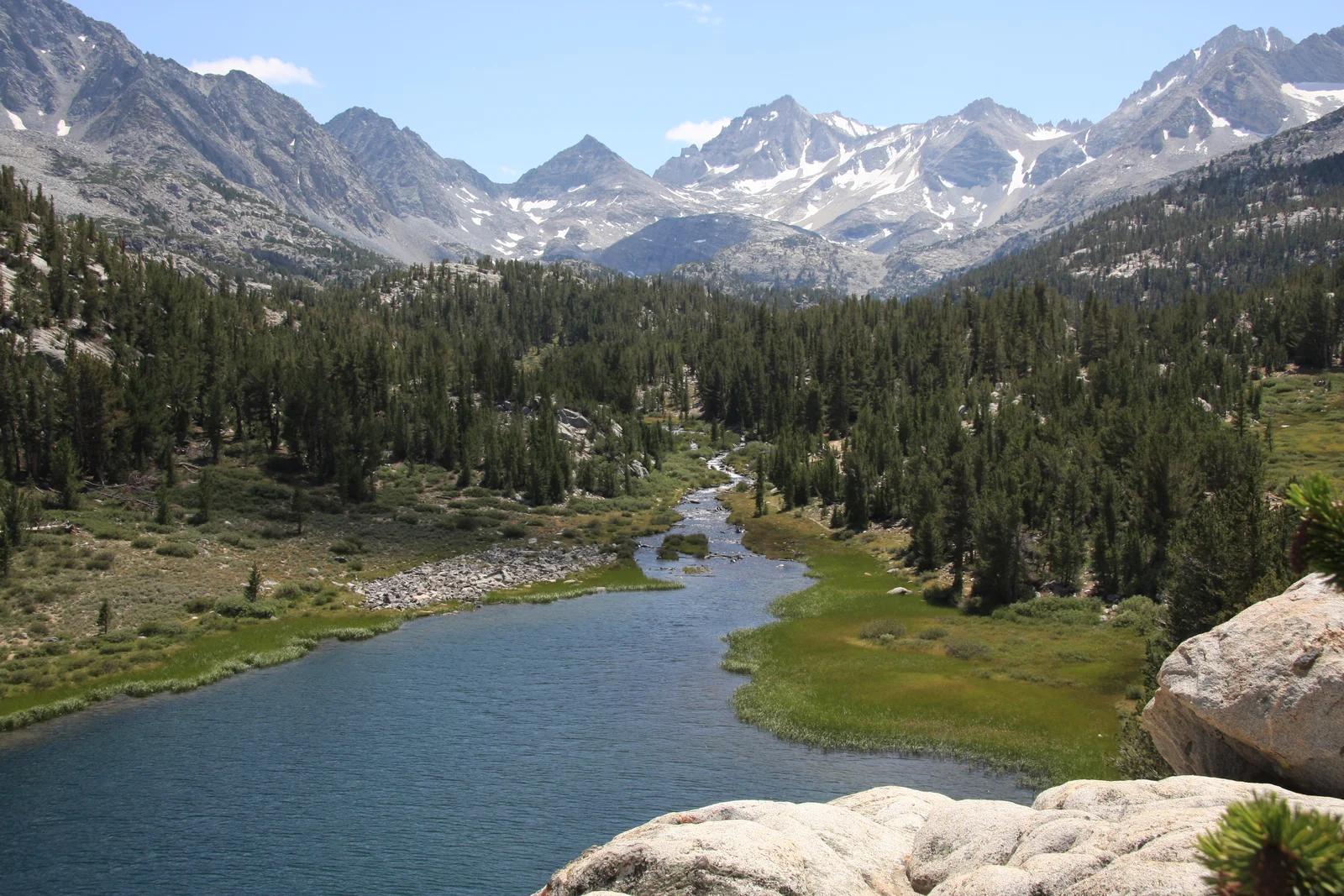
Inyo National Forest
A chain of small alpine lakes at the head of Little Lakes Valley in the John Muir Wilderness, below the 13,000-foot peaks of the Bear Creek Spire cirque.
Jane S. Richardson (talk · contribs) · CC BY-SA 3.0. Source & image licence

Angeles National Forest
A high saddle and five-way trail junction on the Cucamonga Wilderness ridge, at the top of the steady climb up Icehouse Canyon.
Jason Hollinger · CC BY 2.0. Source & image licence

Mount Tamalpais Watershed
A winter-and-spring cascade on Cataract Creek just below the Laurel Dell picnic area, reached downhill along the Cataract Trail from Rock Spring.
Richard Wood · CC BY-SA 3.0. Source & image licence

Angeles National Forest
A waterfall of about fifty feet filling the head of a narrow, shaded canyon, a short walk upstream from Millard Campground.
Region 5 Photography · Public domain. Source & image licence

Mission Peak Regional Preserve
The bare grassland summit above Fremont, marked by the Mission Peeker sighting pole and climbed by the Hidden Valley Trail from Stanford Avenue.
Oleg Alexandrov · CC BY-SA 3.0. Source & image licence

Angeles National Forest
The highest summit of the San Gabriel Mountains, reached from Baldy Notch along the exposed Devils Backbone ridge.
Darkest tree · CC BY-SA 4.0. Source & image licence

Inyo National Forest
A quiet lake in the Ansel Adams Wilderness beneath Parker Peak, reached through sage and an aspen-lined creek canyon off the June Lake Loop.
Mark Gunn from Novato, California, USA · CC BY 2.0. Source & image licence

Santa Monica Mountains National Recreation Area
The highest point in the Santa Monica Mountains, climbed from the Mishe Mokwa trailhead along the Backbone Trail at Circle X Ranch.
Wasquewhat · CC BY-SA 4.0. Source & image licence

Angeles National Forest
A 50-foot single drop into a shallow plunge pool, 1.7 mi up Big Santa Anita Canyon. Shaded the entire way in. The work is all on the walk out.
U.S. Department of Agriculture / USDA USFS · CC BY 2.0. Source & image licence

Santa Monica Mountains National Recreation Area
The ruins of the Roberts family ranch house at the end of the canyon-floor trail in Solstice Canyon, beside a small seasonal waterfall.
George Heras / Santa Monica Mountains National Recreation Area · Public domain. Source & image licence
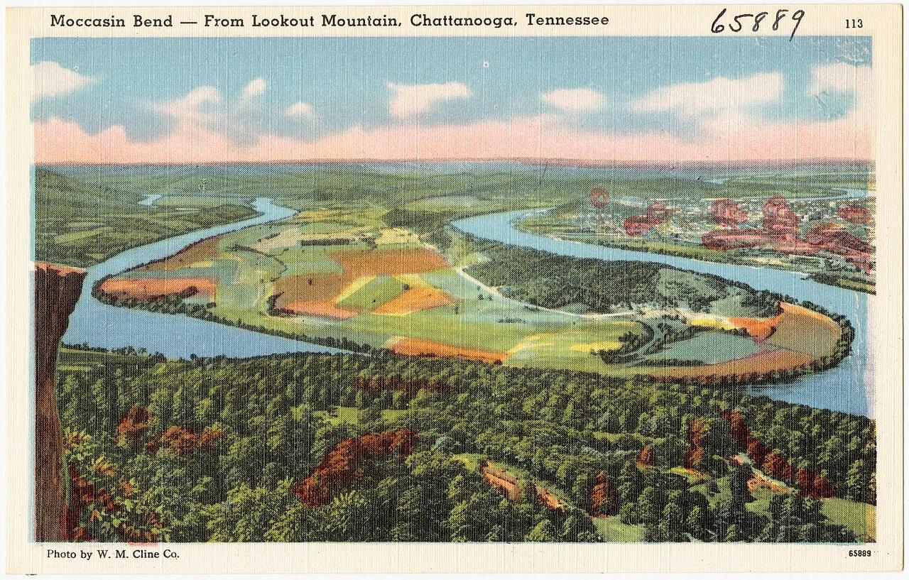
Chickamauga and Chattanooga National Military Park · Appalachian & Blue Ridge · Tennessee
West-facing sandstone cliff ledge high atop Lookout Mountain looking down on the Moccasin Bend horseshoe of the Tennessee River.
Photo: Pub. by W. M. Cline Co., Chattanooga, Tennessee · Public domain
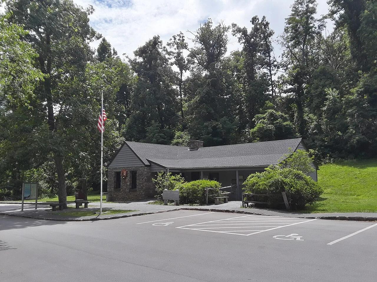
George Washington National Forest / Blue Ridge Parkway · Appalachian & Blue Ridge · Virginia
Jagged greenstone cliff outcrop at the northern gateway of the Blue Ridge Parkway overlooking both the Shenandoah and Rockfish valleys.
Photo: Ser Amantio di Nicolao · Public domain
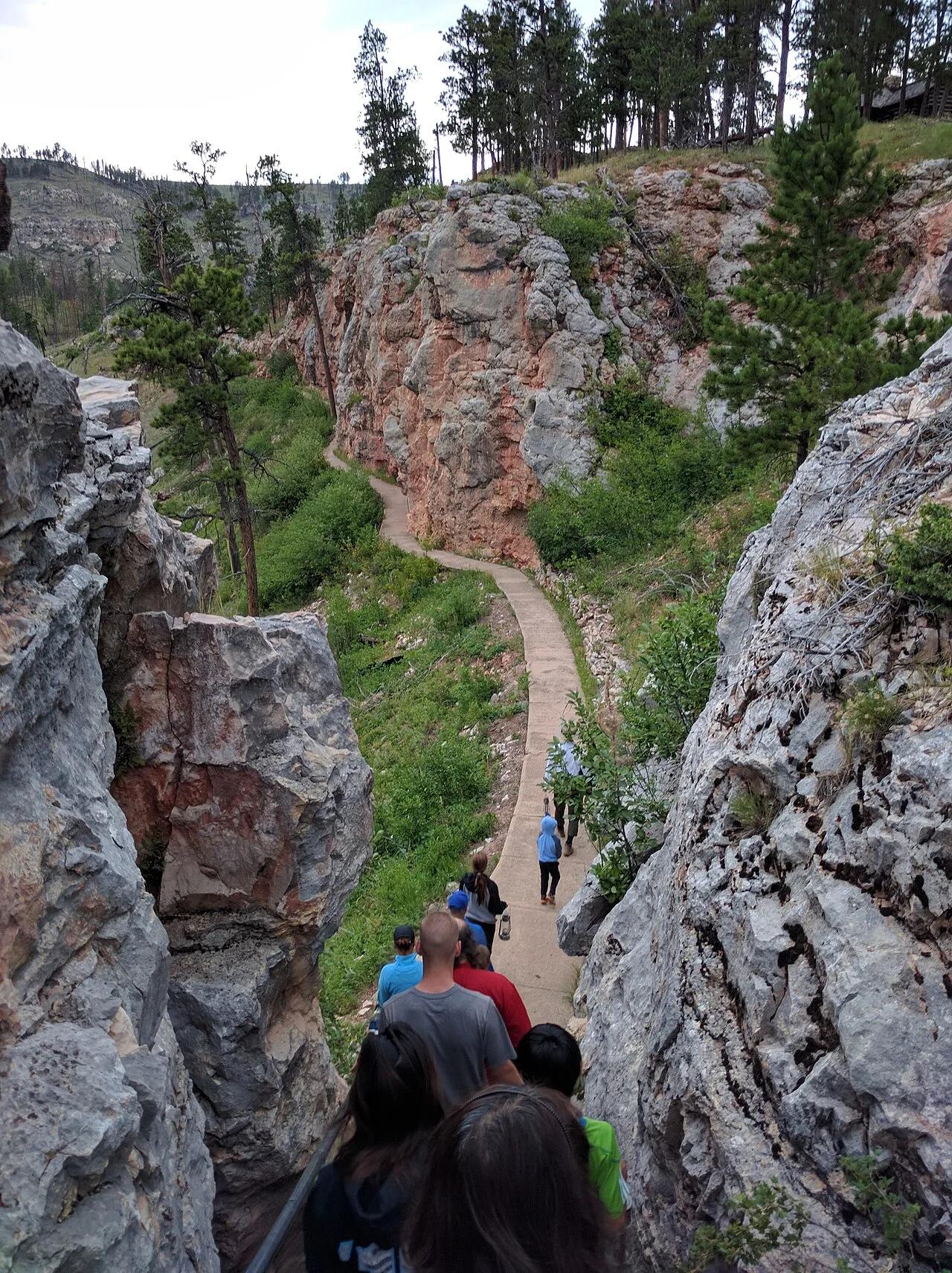
Jewel Cave National Monument (Custer) · Black Hills · South Dakota
The world's third longest cave system with over 215 surveyed miles of calcite spar crystals, framed above ground by Ponderosa pine canyon trails.
Photo: Runner1928 · CC BY-SA 4.0
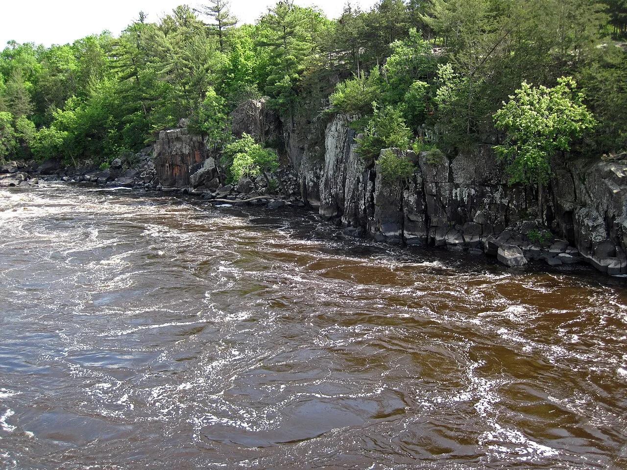
Interstate State Park (St. Croix Falls) · Midwest & Great Lakes · Wisconsin
World's deepest concentration of glacial whirlpool potholes drilled into billion-year-old black basalt lava cliffs above the St. Croix National Scenic Riverway.
Photo: James St. John · CC BY 2.0
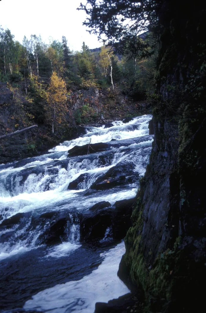
Chugach National Forest · Kenai Peninsula · Alaska
Broad canyon cascade where thousands of sockeye salmon leap up raging rapids while brown and black bears fish the falls.
Photo: Department of the Interior. U.S. Fish and Wildlife Service. National Conserva... · Public domain
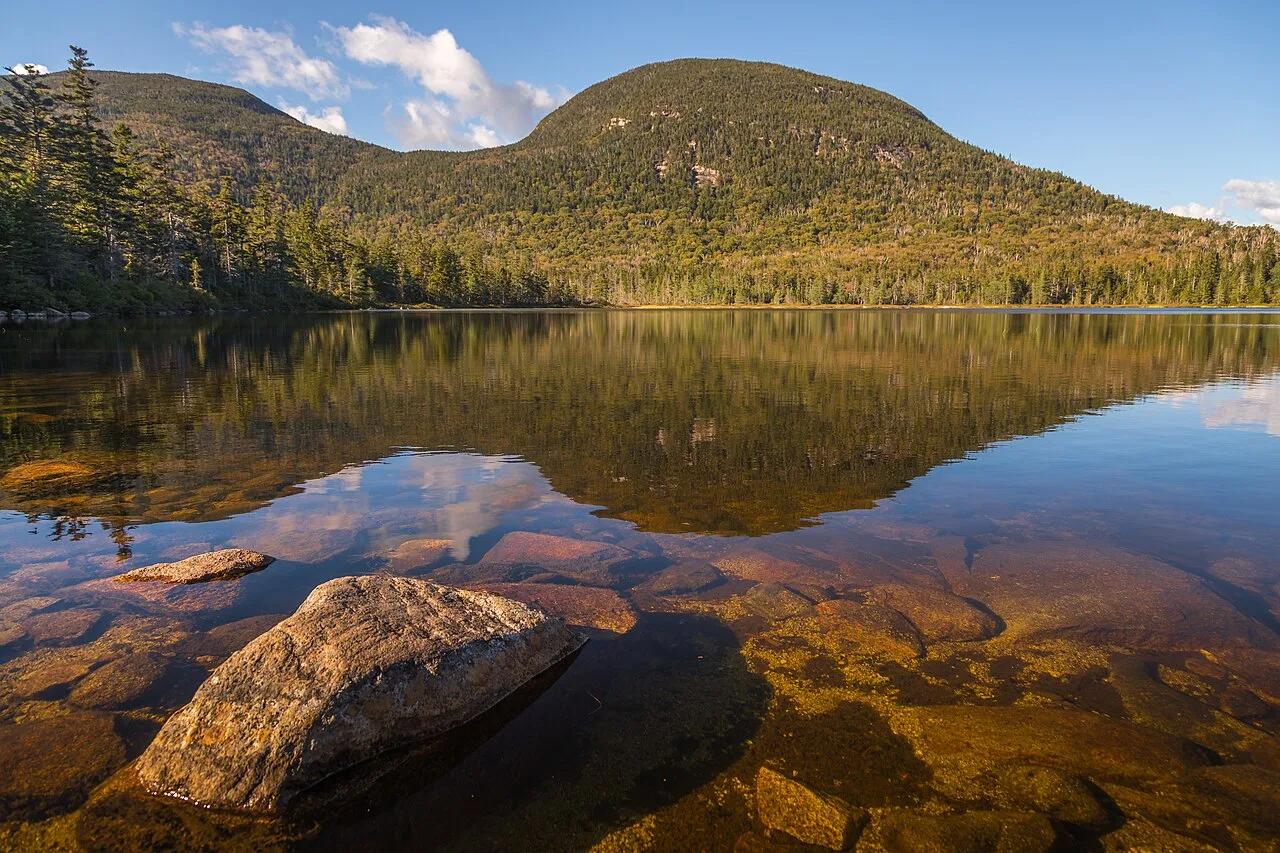
Franconia Notch State Park (White Mountain NF) · Northeast & New England · New Hampshire
High-elevation bog-ringed mountain tarn with a classic AMC backcountry hut reflecting the sweeping granite crest of Franconia Ridge.
Photo: Christian Collins · CC BY-SA 2.0
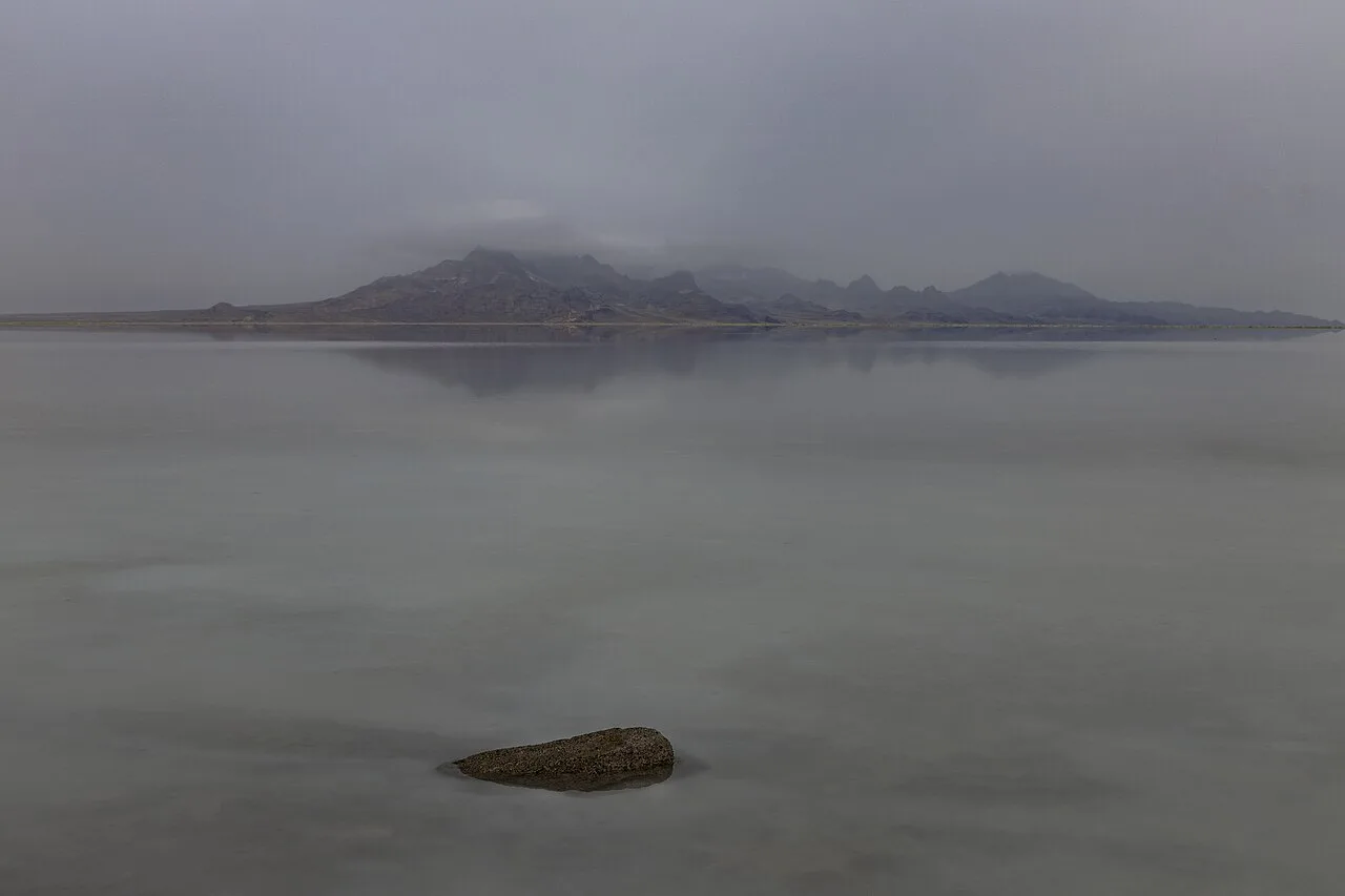
Bonneville Salt Flats Special Recreation Management Area · American Southwest · Utah
30,000-acre expanse of blinding-white polygonal halite salt crust left behind by Pleistocene Lake Bonneville.
Photo: Janusz Sobolewski from Mississauga, Ontario, Canada · CC BY 2.0
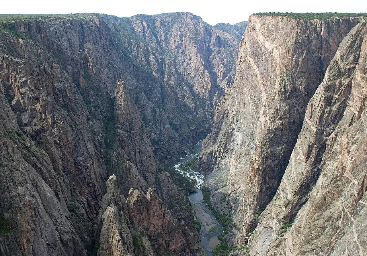
Black Canyon of the Gunnison National Park · Rocky Mountains · Colorado
Colorado's tallest sheer cliff—2,250 feet of dark Precambrian gneiss laced with pink pegmatite dikes above the Gunnison River.
Photo: NPS/Lisa Lynch · Public domain
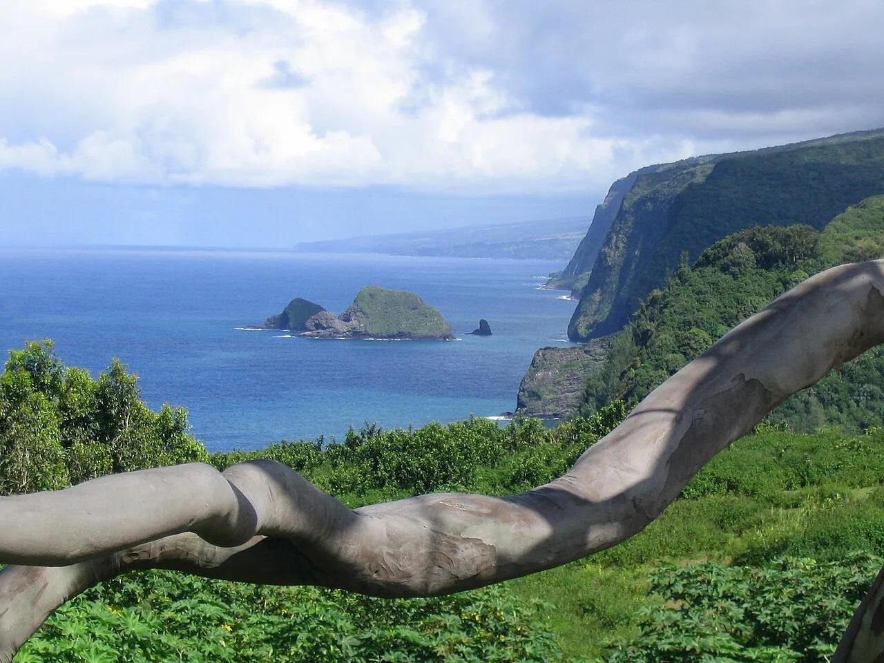
North Kohala Coast (Hawai'i Island) · Hawaiian Islands · Hawaii
Steep coastal cliff trail descending into the northernmost Kohala amphitheater valley and ironwood-fringed black sand surf beach.
Photo: Mickaw2 at English Wikipedia · Public domain
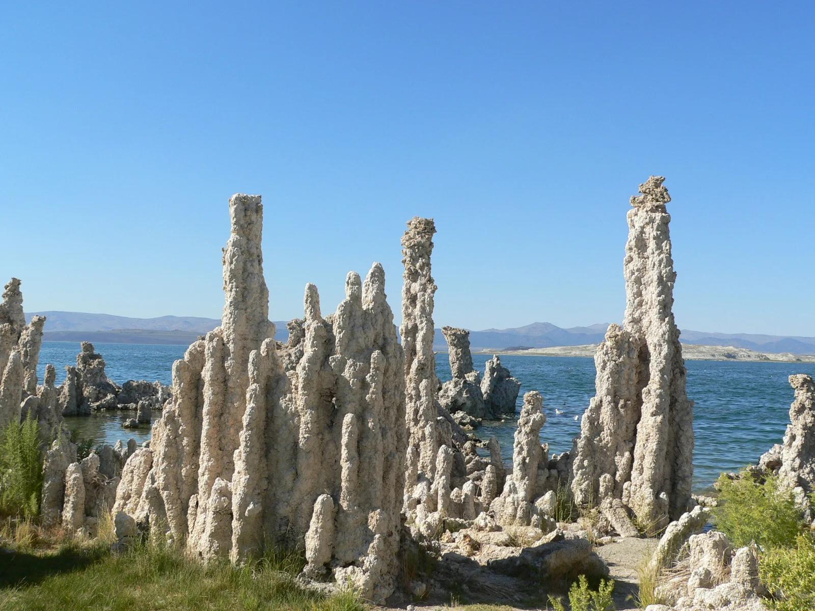
Mono Lake Tufa State Natural Reserve · Eastern Sierra
Surreal limestone tufa spires rising like alien towers from an ancient hyper-saline lake against the backdrop of the Sierra Nevada escarpment.
Photo: Yukinobu Zengame from Cupertino, United States · CC BY 2.0
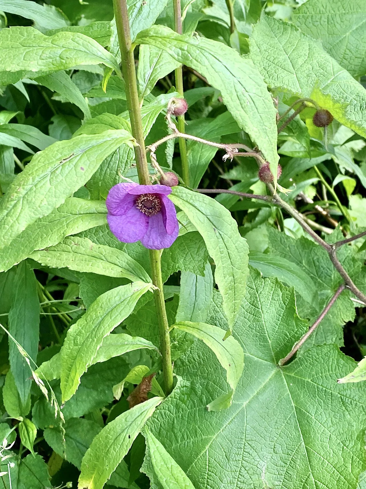
Blue Ridge Parkway / Grandfather Mountain · Appalachian & Blue Ridge · North Carolina
Cantilevered wooden boardwalk protecting rare high-altitude sedge and heller's blazing star across jagged Grandfather Mountain rocky crags.
Photo: w_lemay · CC BY-SA 2.0
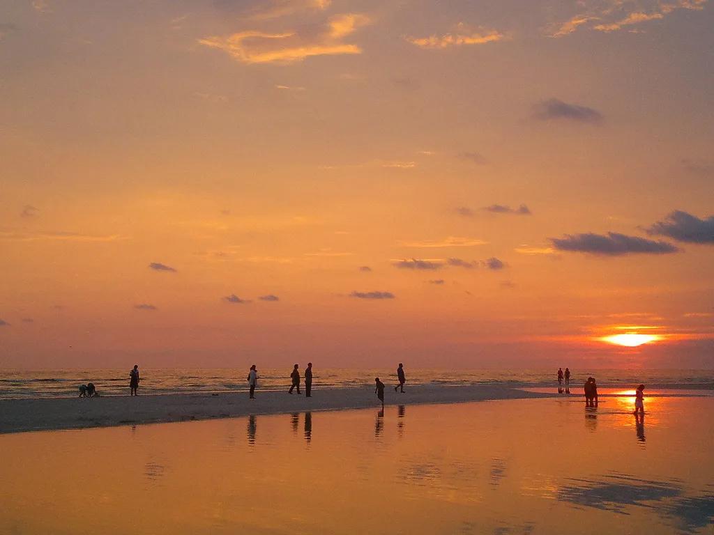
Honeymoon Island State Park (Dunedin) · Atlantic & Gulf Coasts · Florida
Paved Gulf Coast rail-trail and turquoise causeway crossing St. Joseph Sound to osprey-nested slash pine forests and shell beaches.
Photo: jonathan c. wheeler · CC BY-SA 3.0
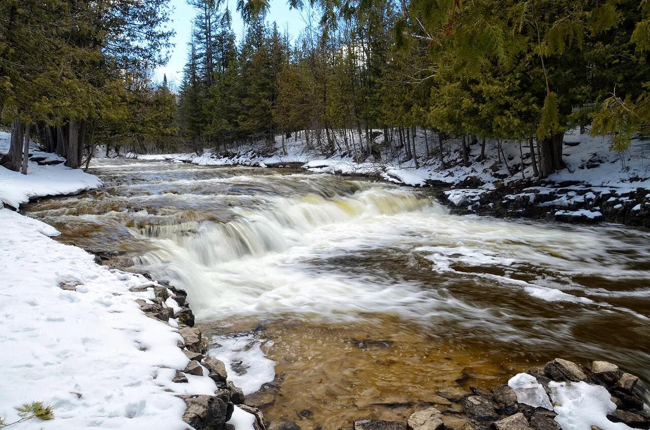
Ocqueoc Falls State Forest Campground · Northern Lower Peninsula · Michigan
The only universally accessible waterfall in the United States and the largest waterfall in Michigan's Lower Peninsula, cascading over limestone bedrock ledges.
Photo: Tony Faiola from Mid-Michigan, U.S.A. · CC BY 2.0
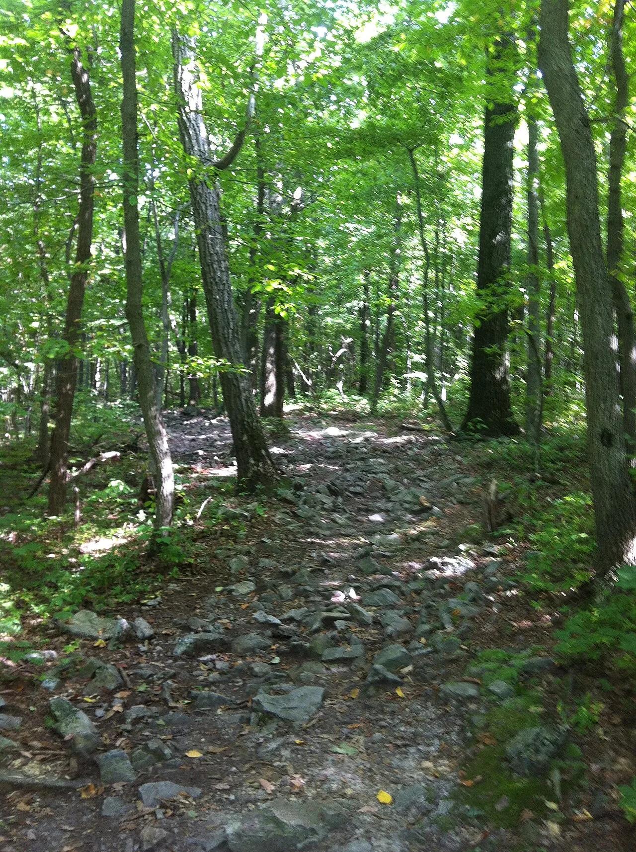
Appalachian National Scenic Trail (Hamburg) · Berks County / Blue Mountain · Pennsylvania
One of the most famous vistas on the Pennsylvania Appalachian Trail, jutting over the Lehigh Valley on a dramatic quartzite ledge.
Photo: Relock2 · CC BY-SA 4.0
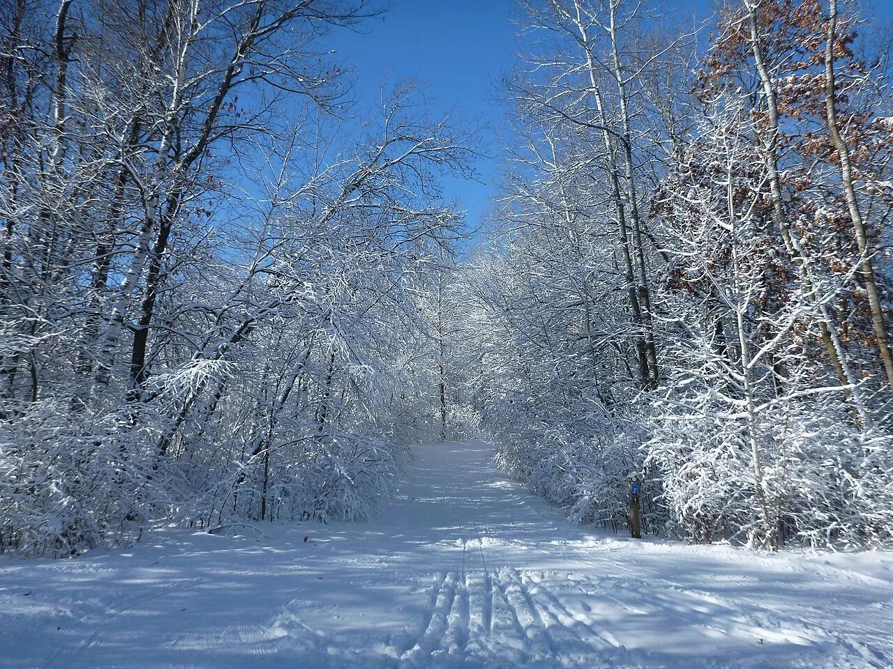
Lebanon Hills Regional Park (Dakota County) · Twin Cities South · Minnesota
Over 2,000 acres of glacial kettle lakes, hardwood knolls, and rolling singletrack trails offering prime mountain biking, paddling, and hiking.
Photo: Mgust · CC BY-SA 4.0
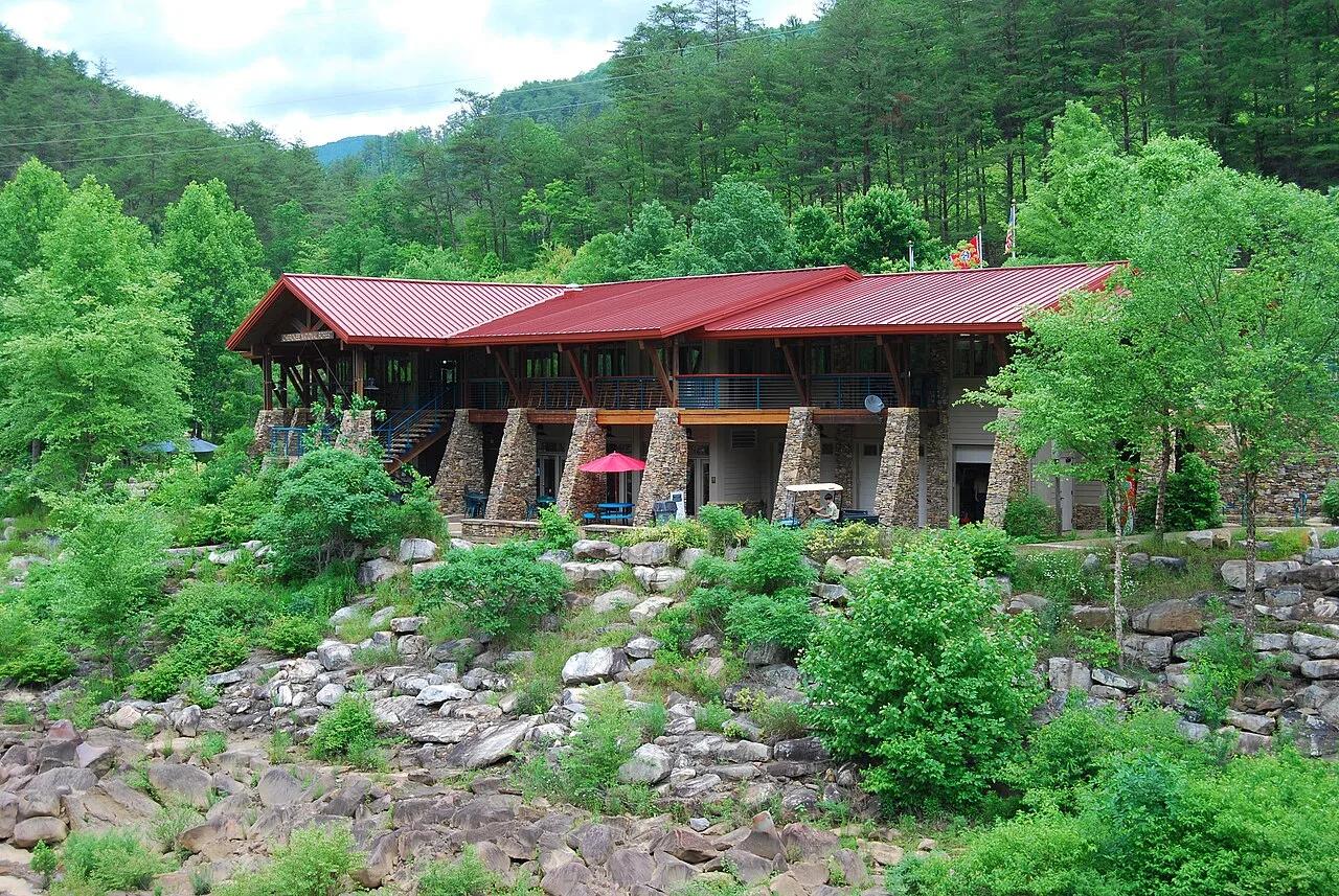
Cherokee National Forest (Ocoee River Gorge) · Appalachian & Blue Ridge · Tennessee
1996 Olympic slalom boulder rapids and suspension footbridge in the copper-walled Ocoee River Gorge, linked to the Tanasi mountain bike network.
Photo: Parkerdr · CC BY-SA 3.0
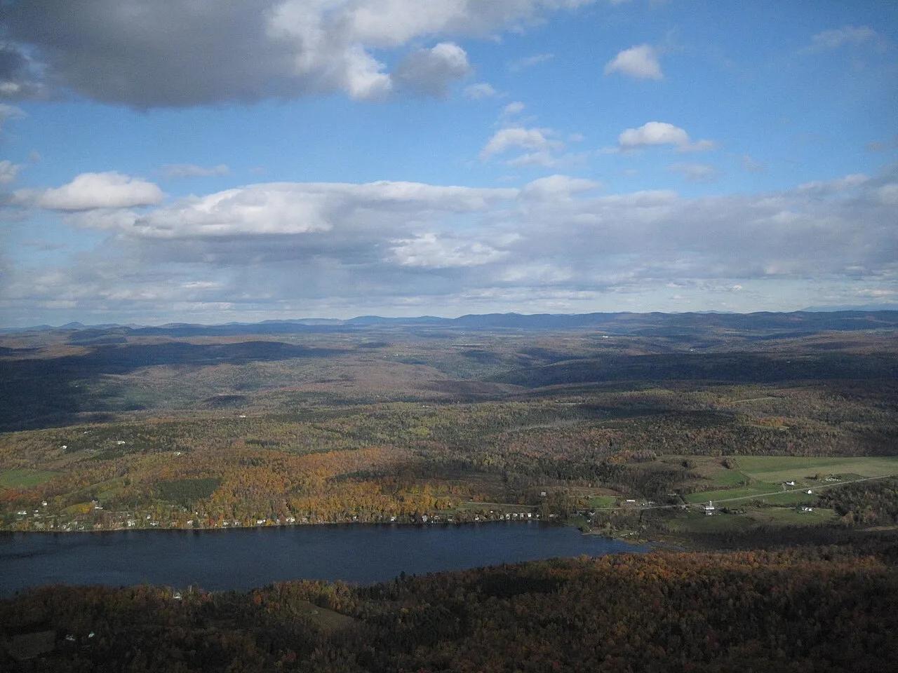
Smugglers' Notch Disc Golf Center · Northeast & New England · Vermont
World-renowned technical sugar-maple and birch forest 18-hole disc golf course hosting the Green Mountain Championship.
Photo: Connie from Cambridge, MA, USA · CC BY 2.0
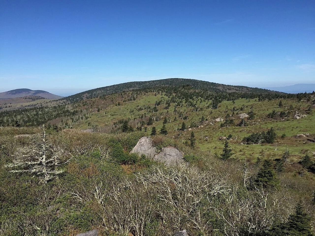
Mount Rogers National Recreation Area · Appalachian & Blue Ridge · Virginia
High-elevation red spruce-Fraser fir sky island and rhyolite boulder balds grazed by wild Grayson Highlands ponies along the Appalachian Trail.
Photo: Famartin · CC BY-SA 4.0
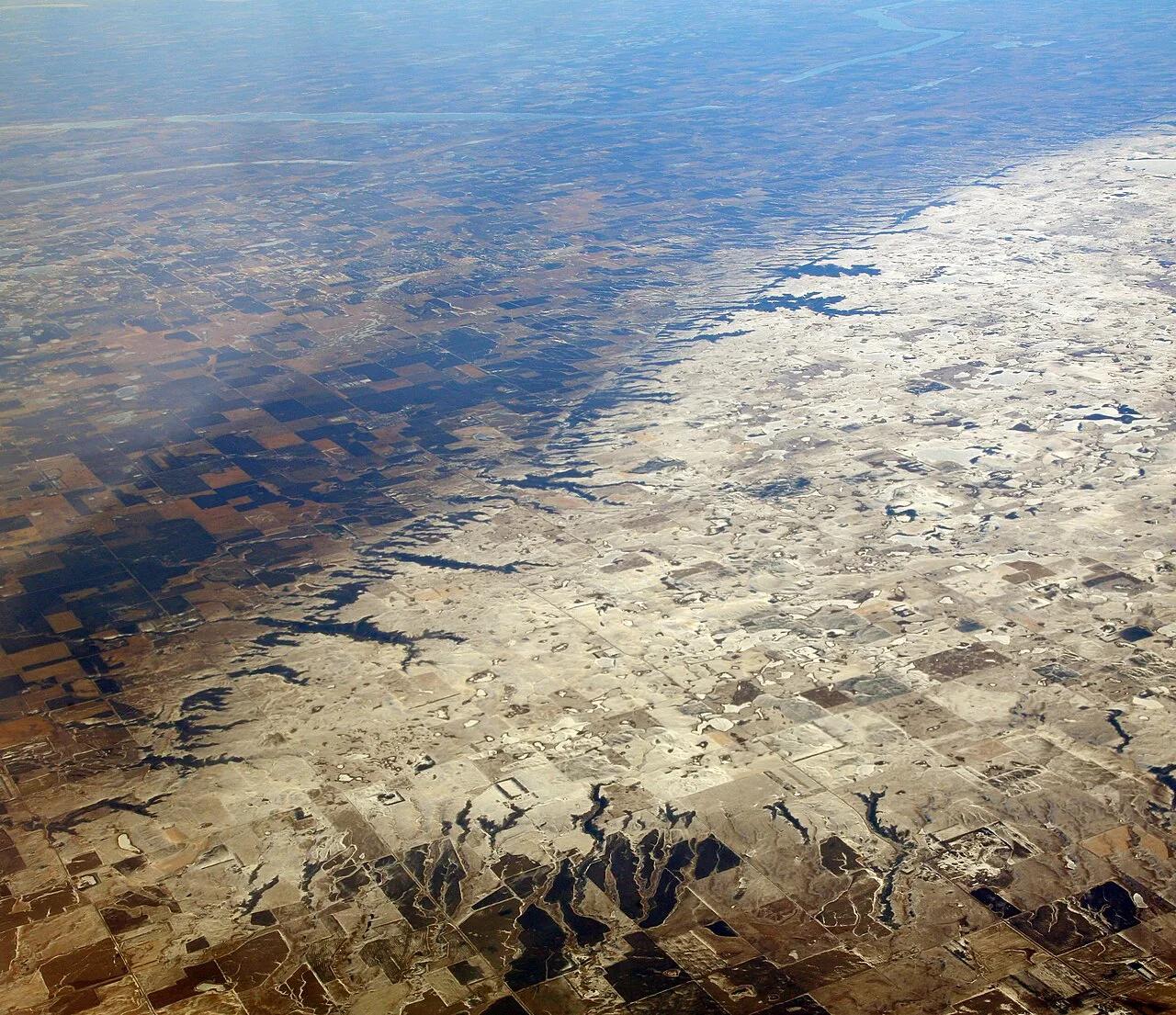
Sica Hollow State Park (Coteau des Prairies) · Great Plains & Heartland · South Dakota
Iron-oxide-stained crimson springs and maple-basswood ravines cutting into the eastern escarpment of the Coteau des Prairies plateau.
Photo: Doc Searls · CC BY 2.0
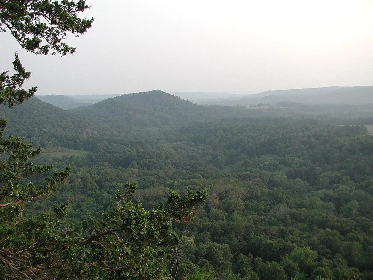
Wildcat Mountain State Park & Kickapoo Valley Reserve (Ontario) · Midwest & Great Lakes · Wisconsin
The crookedest river in the Midwest, meandering through Driftless sandstone overhangs, maidenhair fern cliffs, and red pine ledges.
Photo: Dandog77 · CC BY-SA 3.0