Lake
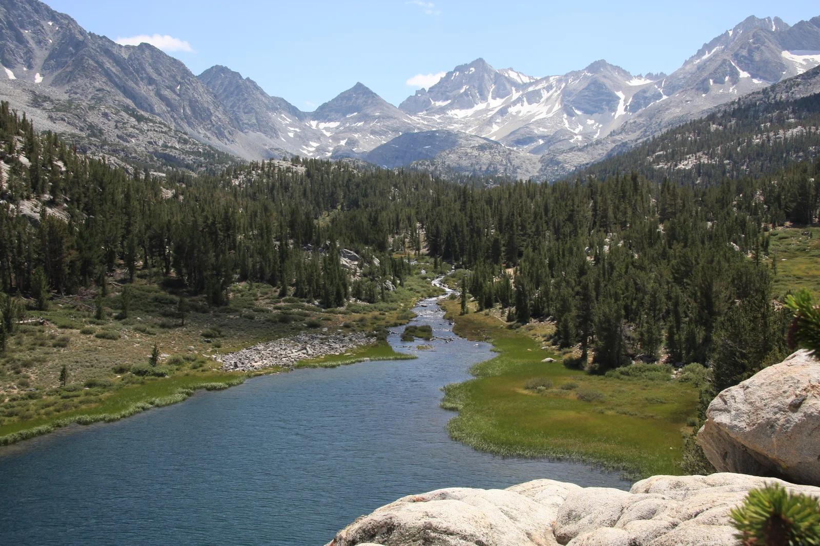
John Muir Wilderness / Inyo NF · Eastern Sierra
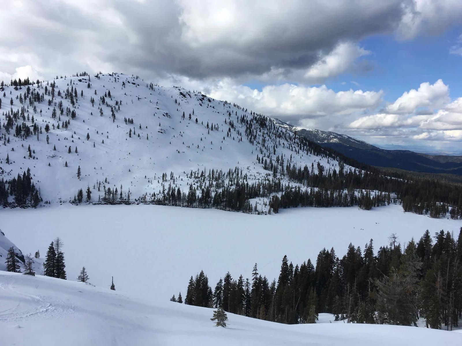
Little Lakes Valley
A breathtaking high-elevation valley stringing together glistening tarns and wildflower meadows beneath 13,000-foot peaks.
- Route
- 7.2 mi
- Climb
- 1,001 ft
Browse & Discover
Filter by activity, state, region, dog policy, or route effort — or use the interactive map below to find waterfalls, trails, beaches, bikeways, skateparks, and campgrounds near any location.
1,108 of 2,051 places
Drag to pan. Double-click, pinch or scroll to zoom. Keyboard: arrow keys and +/−. Cards below remain available.
Loading map… Browse the spot cards below at any time.

Eaton Canyon Natural Area
The waterfall at the head of lower Eaton Canyon, reached by a wide wash walk from the Eaton Canyon Nature Center and a final creekside scramble.
[scott.medling or en:user:scott.medling user:scott.medling from California, United States] · CC BY-SA 2.0. Source & image licence

Angeles National Forest
The ruined mountain resort of the Mount Lowe Railway, on a front-range promontory above Altadena at the top of the Lower Sam Merrill Trail.
Lennonrodgers at en.wikipedia · Public domain. Source & image licence

Escondido Canyon Park
A multi-tiered waterfall in Escondido Canyon above Malibu. The maintained trail ends at the base of the mossy lower tier.
Santa Monica Mountains National Recreation Area · Public domain. Source & image licence

Inyo National Forest
A chain of small alpine lakes at the head of Little Lakes Valley in the John Muir Wilderness, below the 13,000-foot peaks of the Bear Creek Spire cirque.
Jane S. Richardson (talk · contribs) · CC BY-SA 3.0. Source & image licence

Angeles National Forest
A high saddle and five-way trail junction on the Cucamonga Wilderness ridge, at the top of the steady climb up Icehouse Canyon.
Jason Hollinger · CC BY 2.0. Source & image licence

Mount Tamalpais Watershed
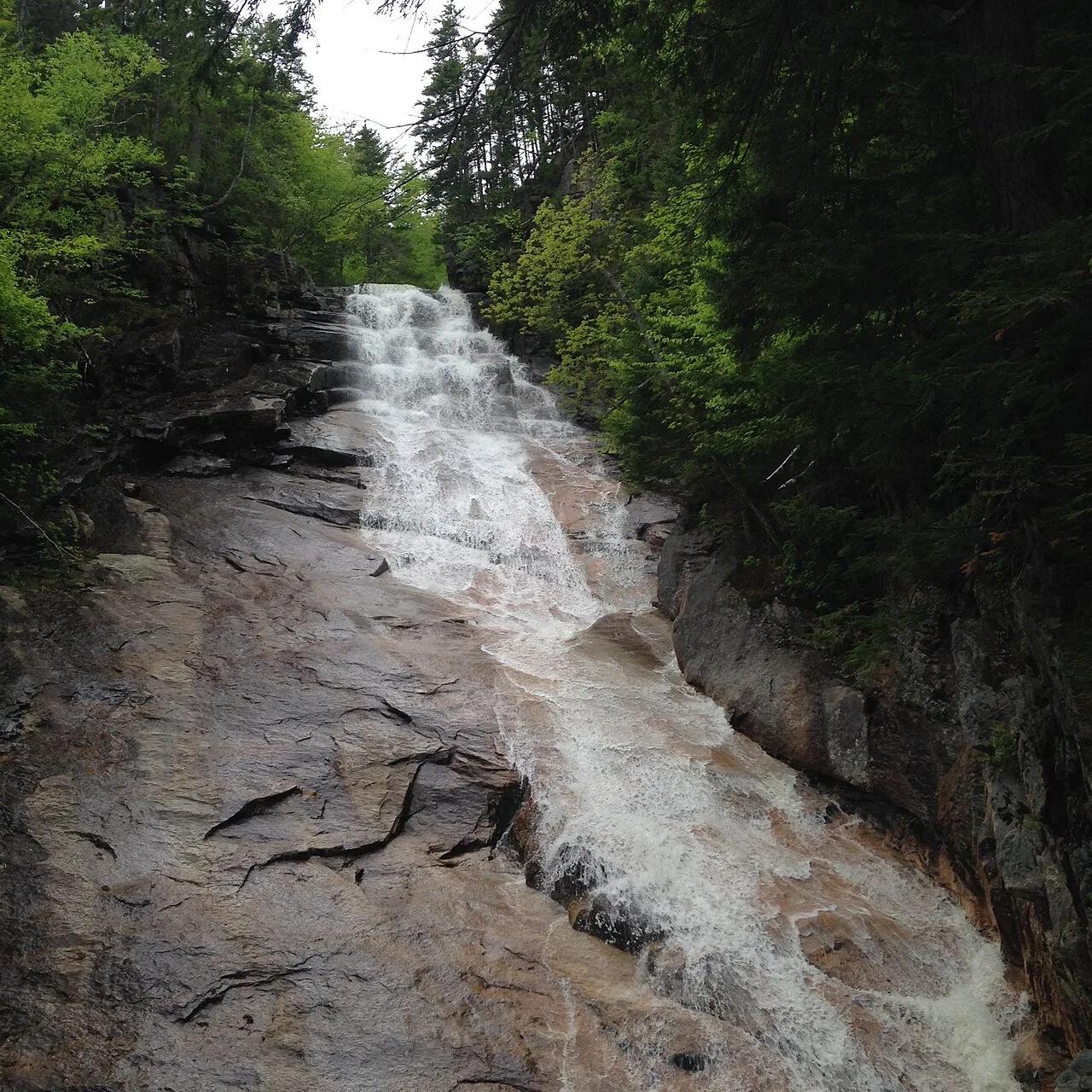
A winter-and-spring cascade on Cataract Creek just below the Laurel Dell picnic area, reached downhill along the Cataract Trail from Rock Spring.
Richard Wood · CC BY-SA 3.0. Source & image licence

Angeles National Forest
A waterfall of about fifty feet filling the head of a narrow, shaded canyon, a short walk upstream from Millard Campground.
Region 5 Photography · Public domain. Source & image licence

Mission Peak Regional Preserve
The bare grassland summit above Fremont, marked by the Mission Peeker sighting pole and climbed by the Hidden Valley Trail from Stanford Avenue.
Oleg Alexandrov · CC BY-SA 3.0. Source & image licence

Angeles National Forest
The highest summit of the San Gabriel Mountains, reached from Baldy Notch along the exposed Devils Backbone ridge.
Darkest tree · CC BY-SA 4.0. Source & image licence

Inyo National Forest
A quiet lake in the Ansel Adams Wilderness beneath Parker Peak, reached through sage and an aspen-lined creek canyon off the June Lake Loop.
Mark Gunn from Novato, California, USA · CC BY 2.0. Source & image licence

Santa Monica Mountains National Recreation Area
The highest point in the Santa Monica Mountains, climbed from the Mishe Mokwa trailhead along the Backbone Trail at Circle X Ranch.
Wasquewhat · CC BY-SA 4.0. Source & image licence

Angeles National Forest
A 50-foot single drop into a shallow plunge pool, 1.7 mi up Big Santa Anita Canyon. Shaded the entire way in. The work is all on the walk out.
U.S. Department of Agriculture / USDA USFS · CC BY 2.0. Source & image licence

Santa Monica Mountains National Recreation Area
The ruins of the Roberts family ranch house at the end of the canyon-floor trail in Solstice Canyon, beside a small seasonal waterfall.
George Heras / Santa Monica Mountains National Recreation Area · Public domain. Source & image licence
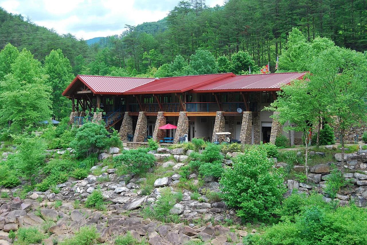
Cherokee National Forest (Ocoee River Gorge) · Appalachian & Blue Ridge · Tennessee
1996 Olympic slalom boulder rapids and suspension footbridge in the copper-walled Ocoee River Gorge, linked to the Tanasi mountain bike network.
Photo: Parkerdr · CC BY-SA 3.0
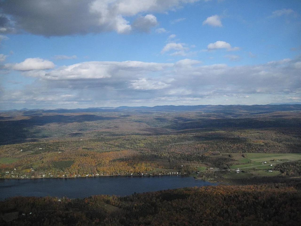
Smugglers' Notch Disc Golf Center · Northeast & New England · Vermont
World-renowned technical sugar-maple and birch forest 18-hole disc golf course hosting the Green Mountain Championship.
Photo: Connie from Cambridge, MA, USA · CC BY 2.0
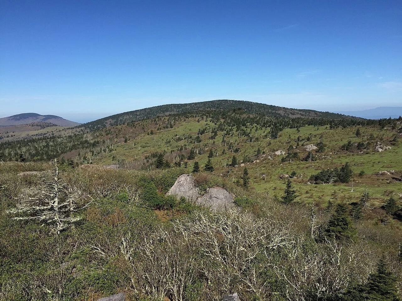
Mount Rogers National Recreation Area · Appalachian & Blue Ridge · Virginia
High-elevation red spruce-Fraser fir sky island and rhyolite boulder balds grazed by wild Grayson Highlands ponies along the Appalachian Trail.
Photo: Famartin · CC BY-SA 4.0
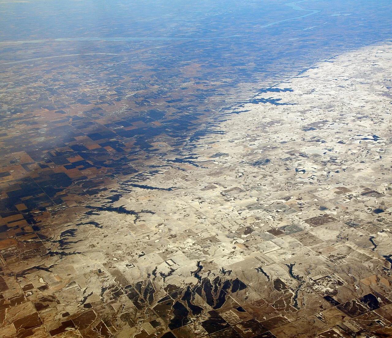
Sica Hollow State Park (Coteau des Prairies) · Great Plains & Heartland · South Dakota
Iron-oxide-stained crimson springs and maple-basswood ravines cutting into the eastern escarpment of the Coteau des Prairies plateau.
Photo: Doc Searls · CC BY 2.0
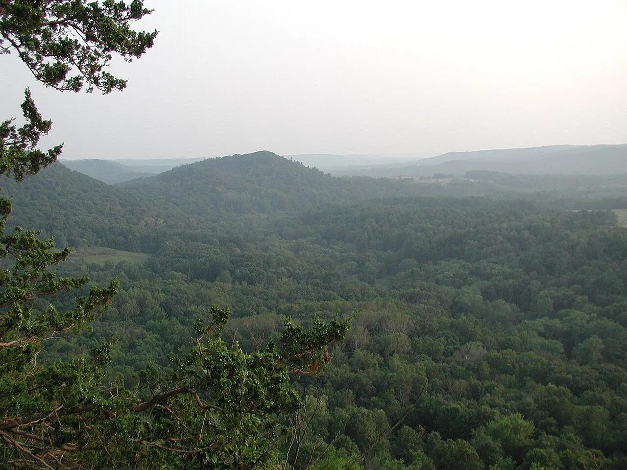
Wildcat Mountain State Park & Kickapoo Valley Reserve (Ontario) · Midwest & Great Lakes · Wisconsin
The crookedest river in the Midwest, meandering through Driftless sandstone overhangs, maidenhair fern cliffs, and red pine ledges.
Photo: Dandog77 · CC BY-SA 3.0
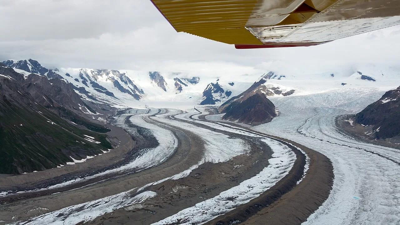
Wrangell-St. Elias National Park & Preserve (McCarthy) · Alaska
Walk directly onto the brilliant blue ice pools and moulins of the Root Glacier beneath 16,390-foot Mount Blackburn in America's largest national park.
Photo: Christoph Strässler from Oberdorf BL, Schweiz · CC BY-SA 2.0
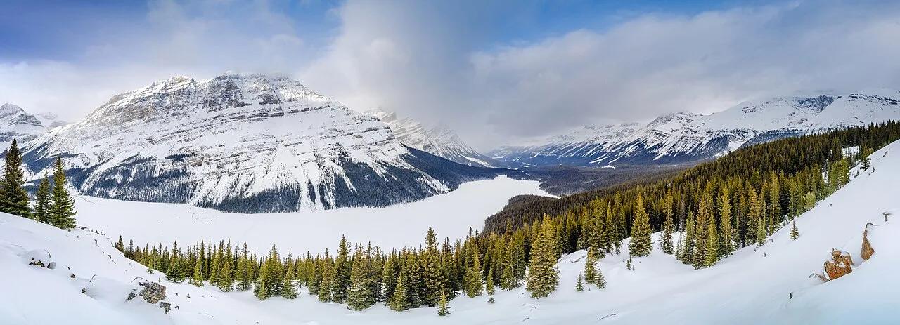
Banff National Park (Icefields Parkway) · Canadian Rockies & BC · Canada
The highest viewpoint on the Icefields Parkway overlooking wolf-head-shaped Peyto Lake glowing neon cyan from Peyto Glacier rock flour.
Photo: Jakub Fryš · CC BY-SA 4.0
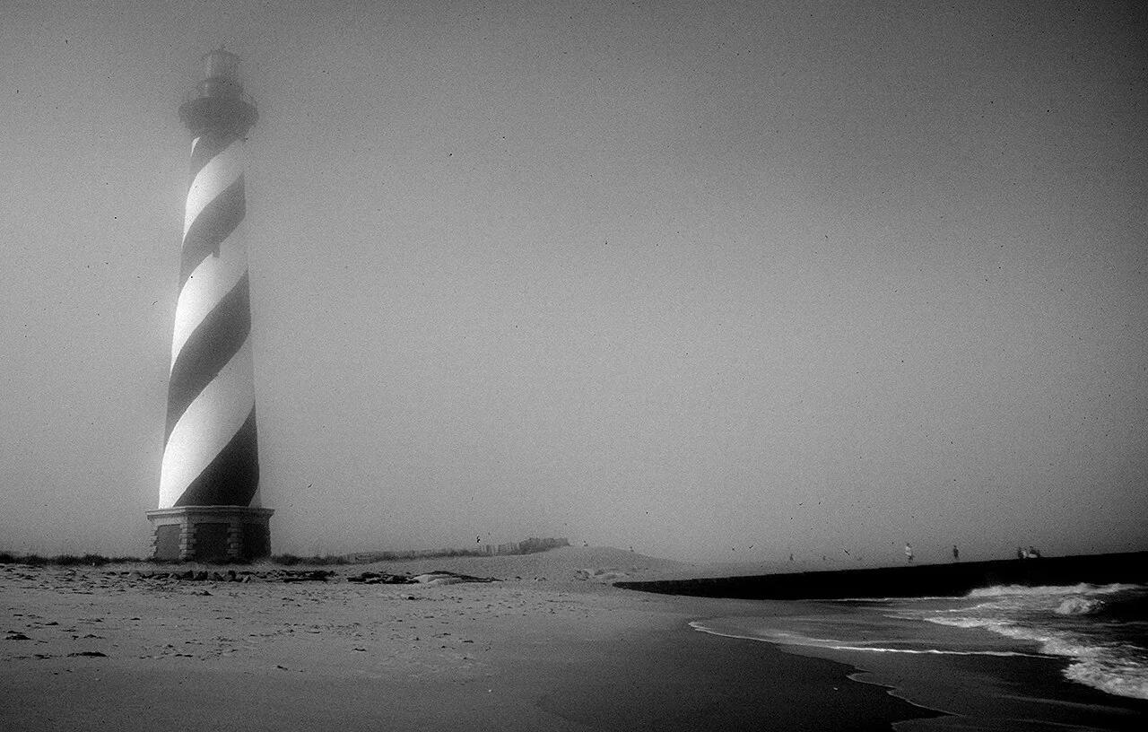
Cape Hatteras National Seashore (Outer Banks) · Atlantic & Gulf Coasts · North Carolina
America's tallest brick lighthouse (198 ft) standing above powerful Atlantic surf breaks and the maritime live-oak dunes of Buxton Woods.
Photo: Jon Gudorf Photography · CC BY-SA 2.0
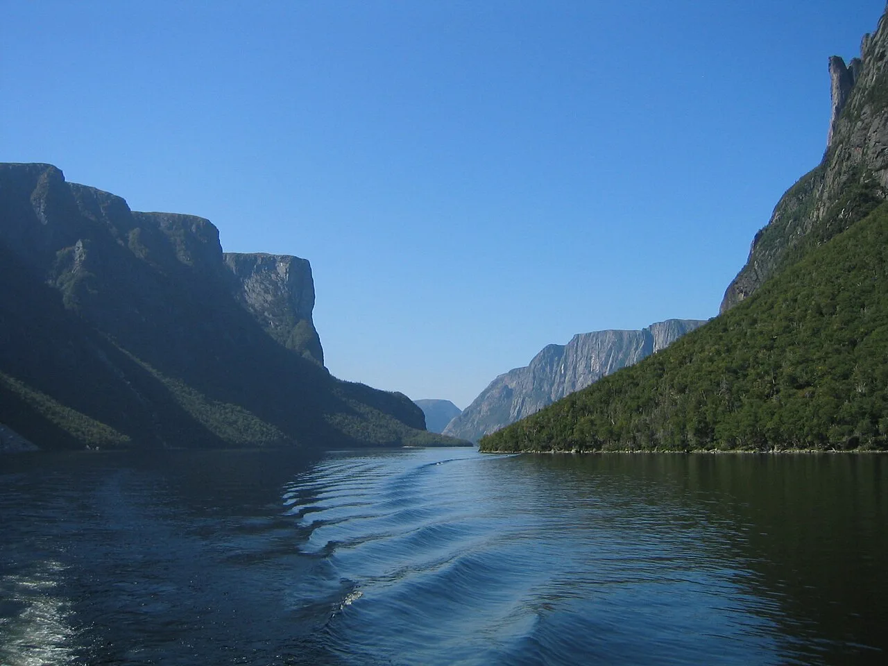
Gros Morne National Park (UNESCO World Heritage) · Atlantic Canada · Canada
Exposed ochre peridotite Earth-mantle mountains and a landlocked 600-meter-walled freshwater fjord carved by continental glaciers.
Photo: Jcmurphy at English Wikipedia · Public domain
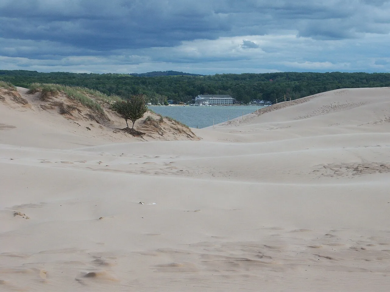
Silver Lake State Park · West Michigan · Michigan
Nearly 3,000 acres of rolling living Sahara-like sand dunes nestled between silver Lake and Lake Michigan, framed by the historic 1874 Little Sable lighthouse.
Photo: NOAA Great Lakes Environmental Research Laboratory · CC BY-SA 2.0
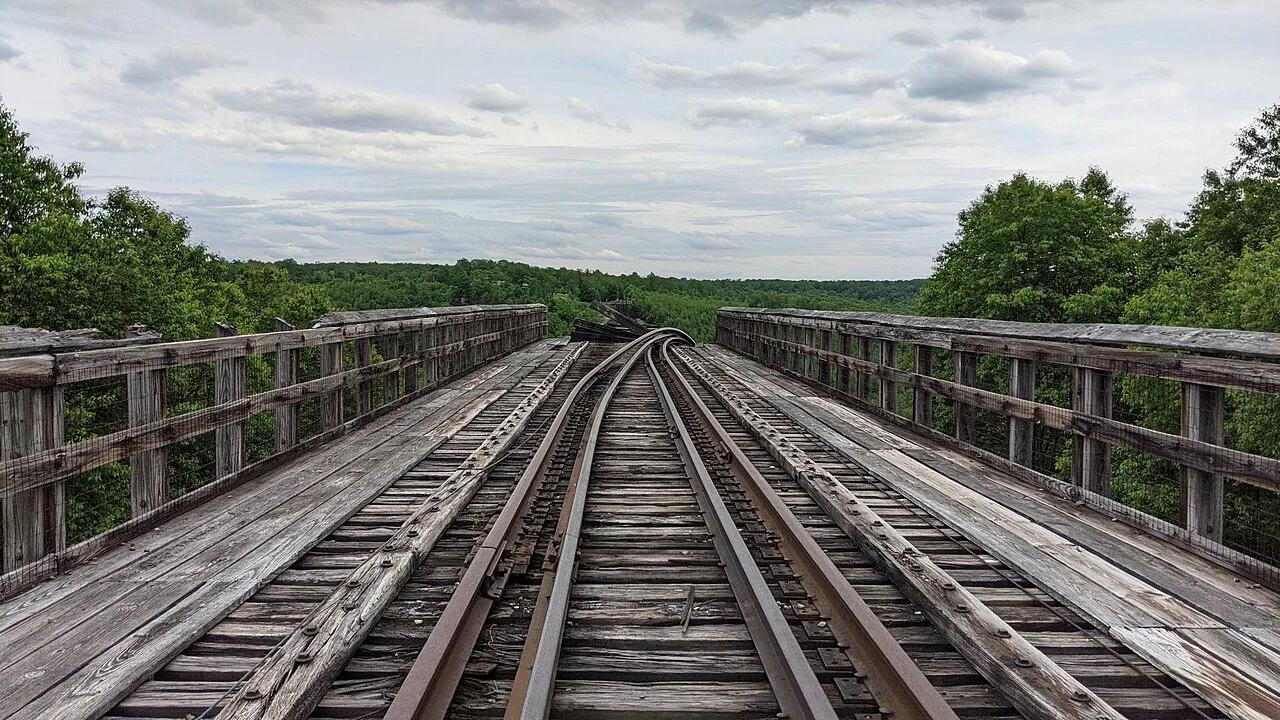
Kinzua Bridge State Park · PA Wilds / Allegheny Plateau · Pennsylvania
Walk 600 feet out onto a 225-foot-high historic railroad viaduct skywalk with a glass floor looking directly into the Kinzua Gorge.
Photo: MasterDoggo · CC BY-SA 4.0
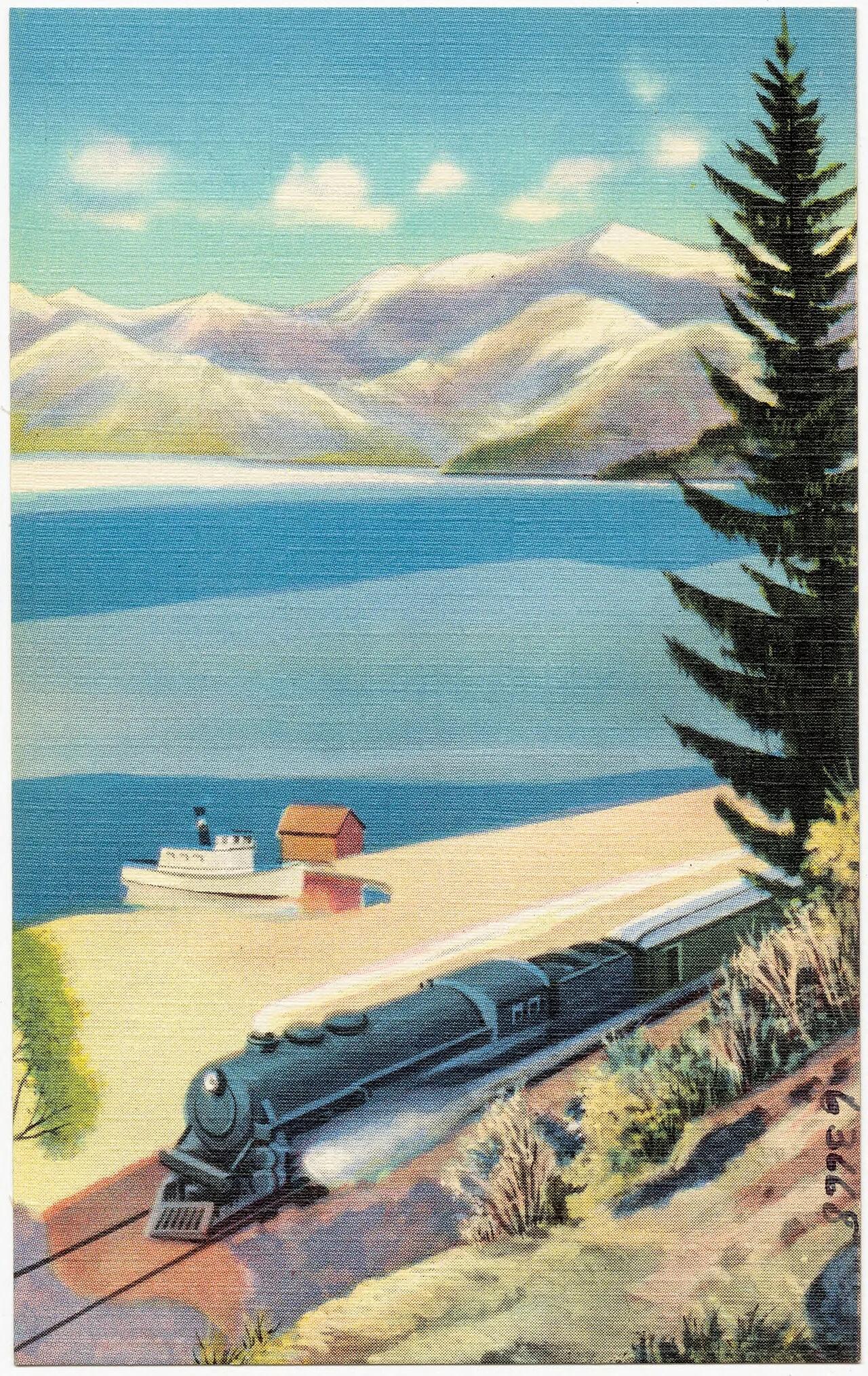
Farragut State Park (Athol) · Rocky Mountains · Idaho
Five distinct 18-hole championship disc golf courses (Northstar, Cutthroat, Wreckreator, Highpoint, Little Black Bear) beside glacier-carved Lake Pend Oreille.
Photo: Northern Pacific, Yellowstone Park Line · Public domain
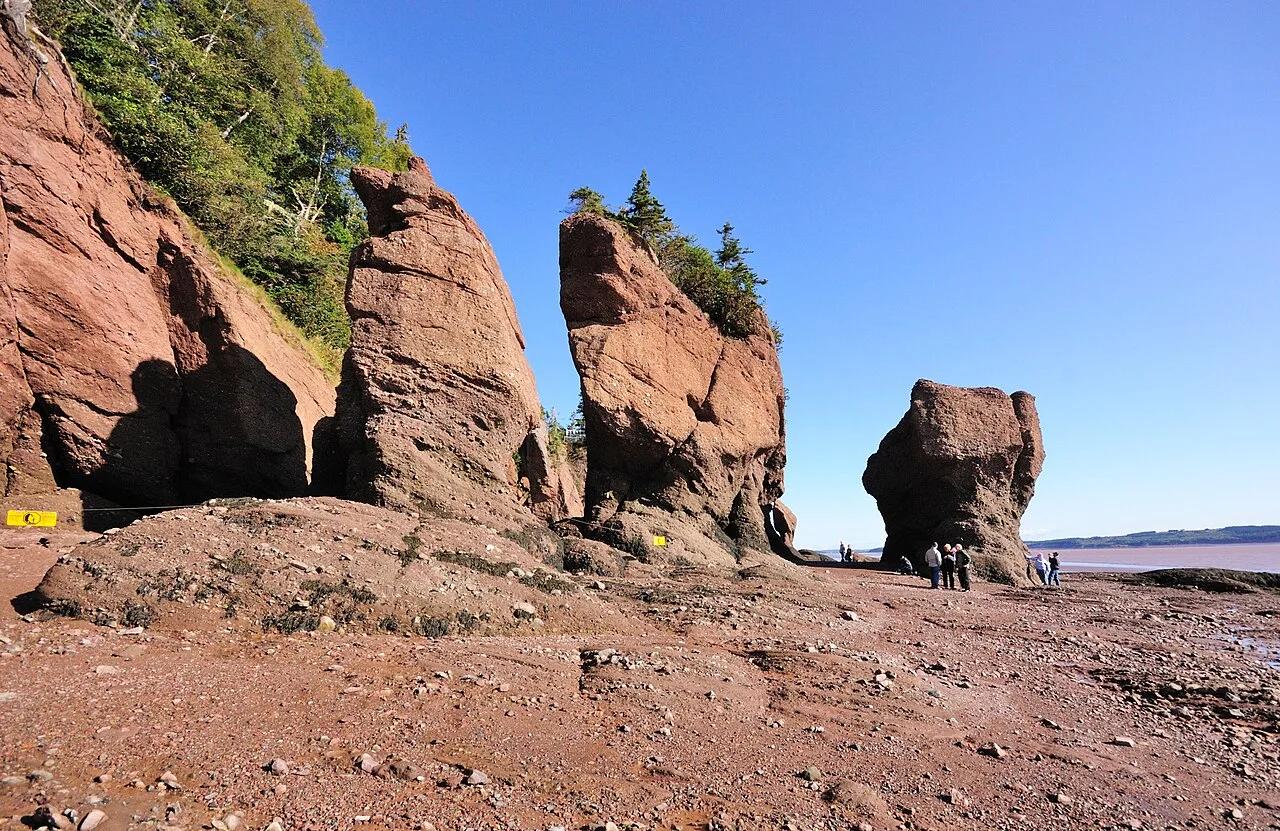
Hopewell Rocks Provincial Park (Bay of Fundy) · Atlantic Canada · Canada
Balsam-fir-topped sandstone sea stacks sculpted by the highest tides on Earth (up to 16 meters / 52 feet), explored by foot at low tide and kayak at high tide.
Photo: Wladyslaw · CC BY-SA 3.0
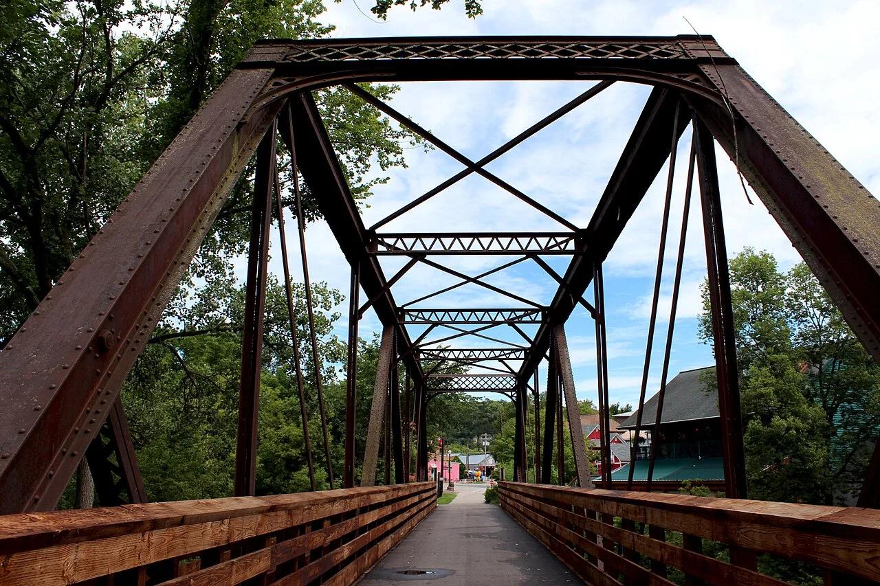
Driftless Area Karst Valley · Midwest & Great Lakes · Minnesota
42-mile paved rail-trail winding beneath 300-foot unglaciated limestone bluffs, Amish farms, and coldwater trout streams along the Root River.
Photo: Lanesboro Arts · CC BY-SA 4.0
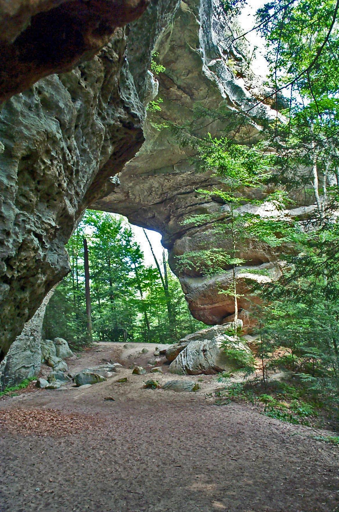
Big South Fork National River and Recreation Area · Appalachian & Blue Ridge · Tennessee
One of the largest natural sandstone bridge complexes in the Eastern United States, featuring 103-foot-high South Arch and 93-foot-wide North Arch.
Photo: NPS Staff · Public domain
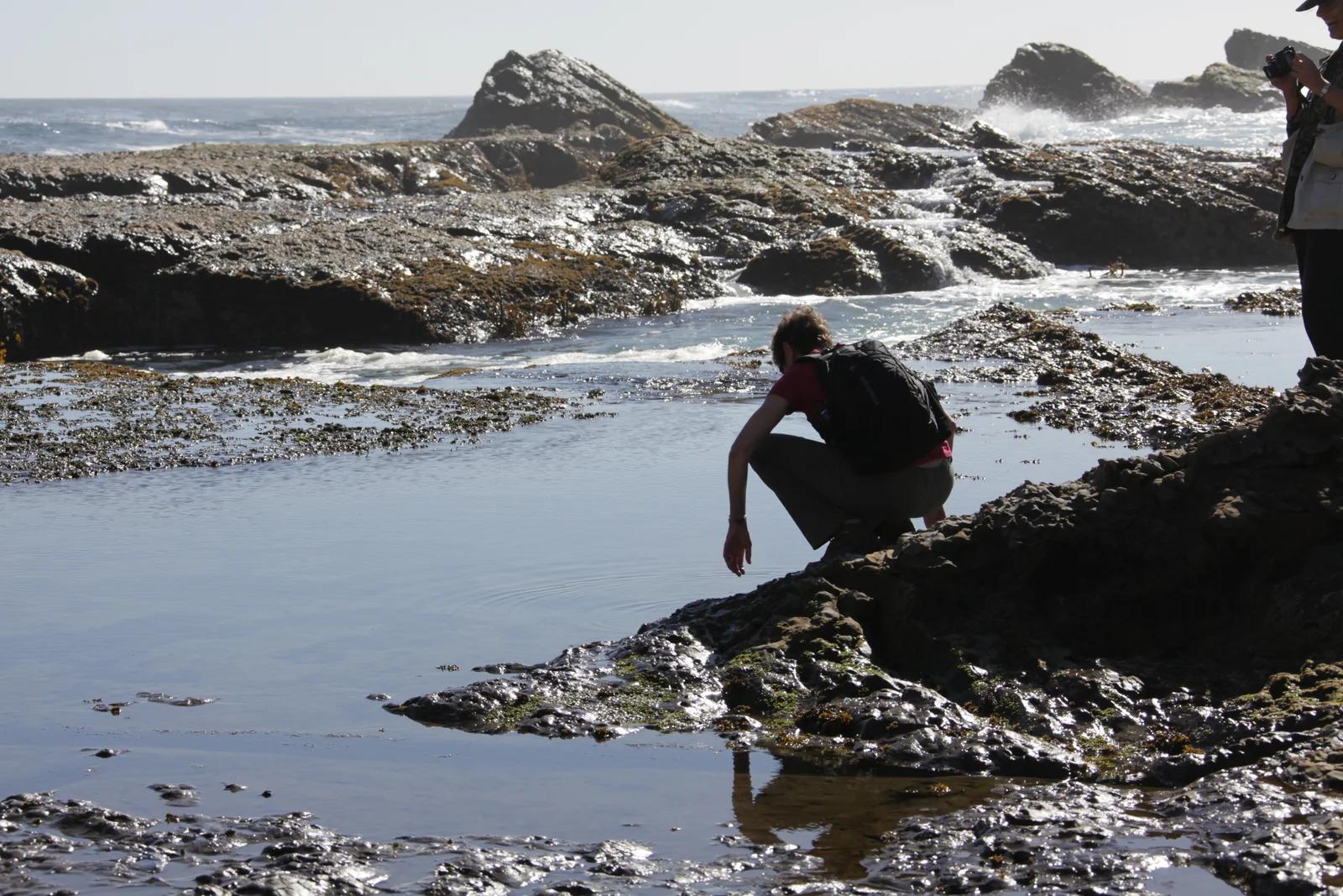
California Coastal National Monument / BLM · Redwood Empire & North Coast
Windswept sea bluffs, blowholes, and offshore sea arches protecting diverse marine wildlife along the rugged Mendocino coastline.
Photo: U.S. Department of the Interior · CC BY-SA 2.0
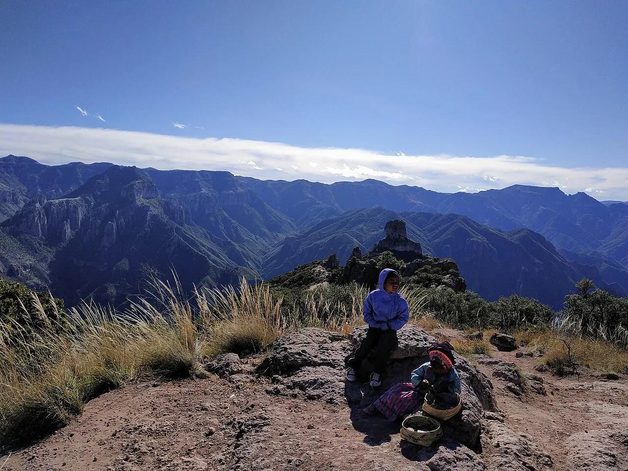
Parque de Aventura Barrancas del Cobre (Sierra Tarahumara) · Mexico & Central America · Mexico
System of six interlocking Sierra Madre Occidental canyons deeper and four times larger in area than the Grand Canyon.
Photo: Adrian · CC BY-SA 4.0
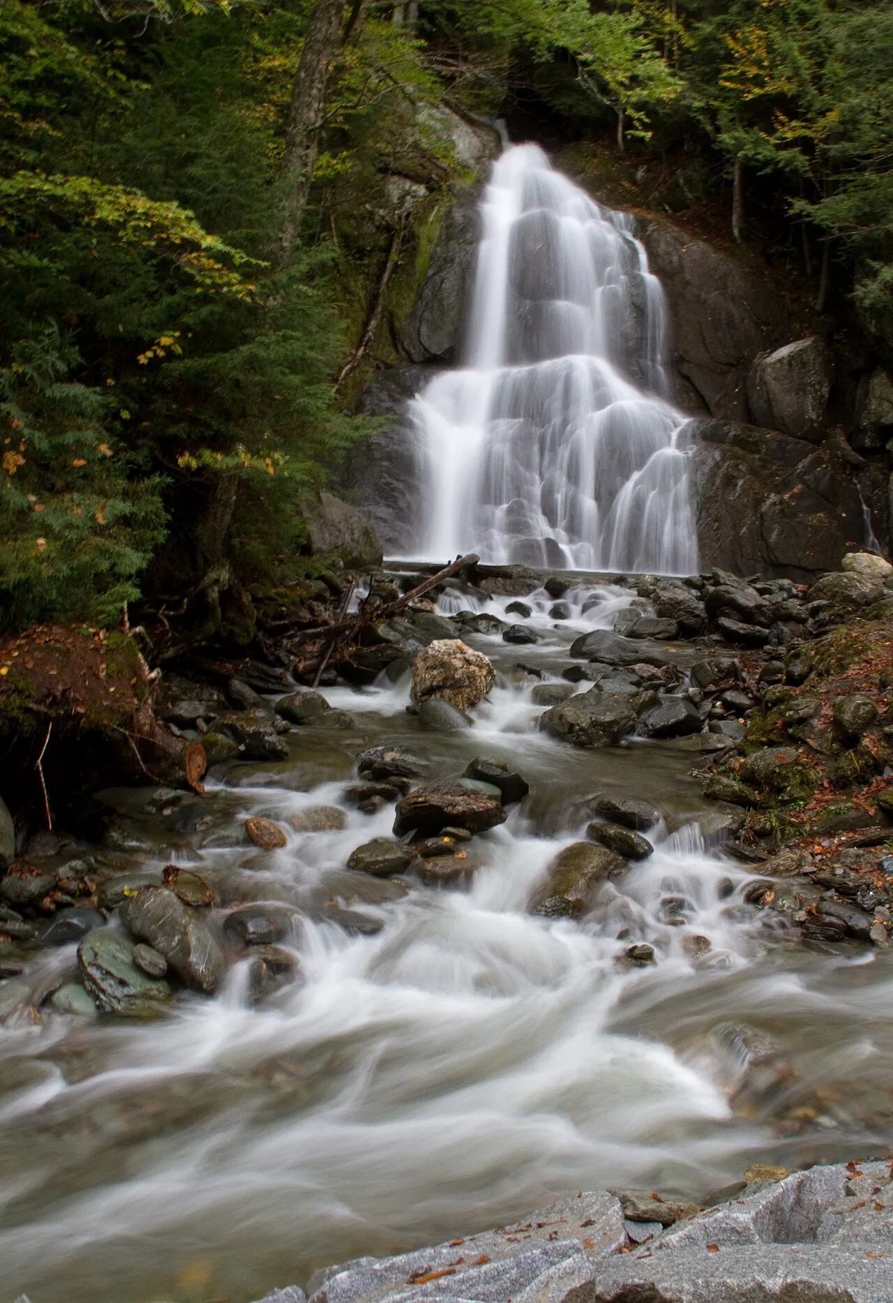
Green Mountain National Forest (Warren) · Northeast & New England · Vermont
Sculpted green-schist bedrock chutes and deep emerald plunge pools along the Mad River in central Vermont.
Photo: Tony Hisgett from Birmingham, UK · CC BY 2.0
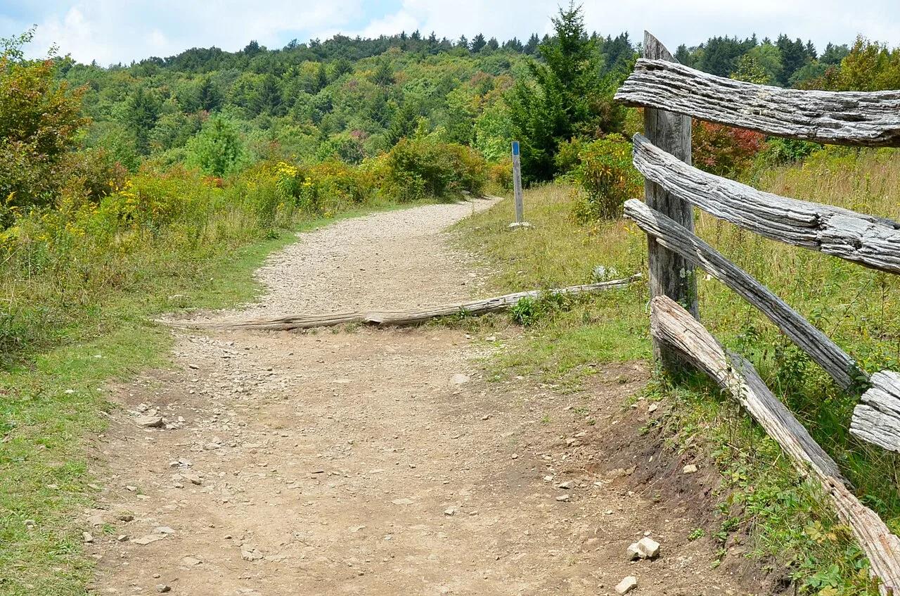
Grayson Highlands State Park / Jefferson NF · Appalachian & Blue Ridge · Virginia
High-elevation granite outcrops and wind-swept subalpine meadows where wild herds of ponies graze along the Appalachian Trail.
Photo: Virginia State Parks · CC BY 2.0
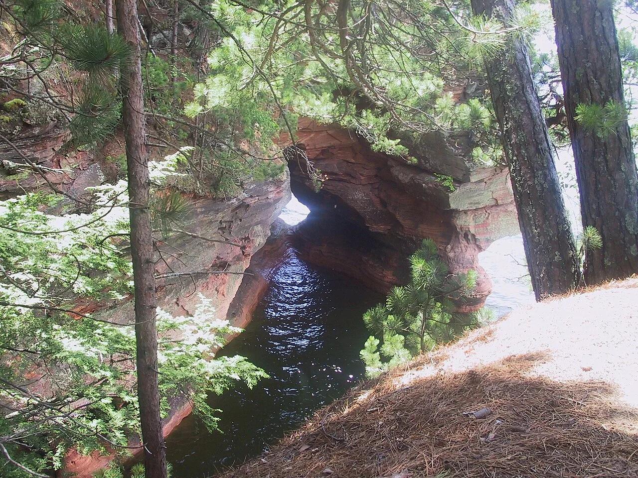
Apostle Islands National Lakeshore (Cornucopia) · Midwest & Great Lakes · Wisconsin
Wave-carved red Devils Island sandstone arches, vaulted chambers, and pillar caves along the crystal waters of Lake Superior.
Photo: Markheffron2 · CC BY-SA 3.0