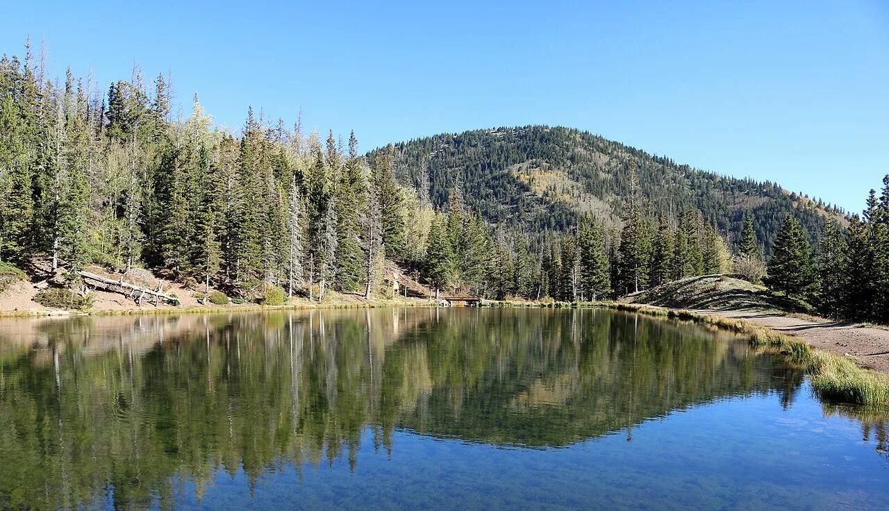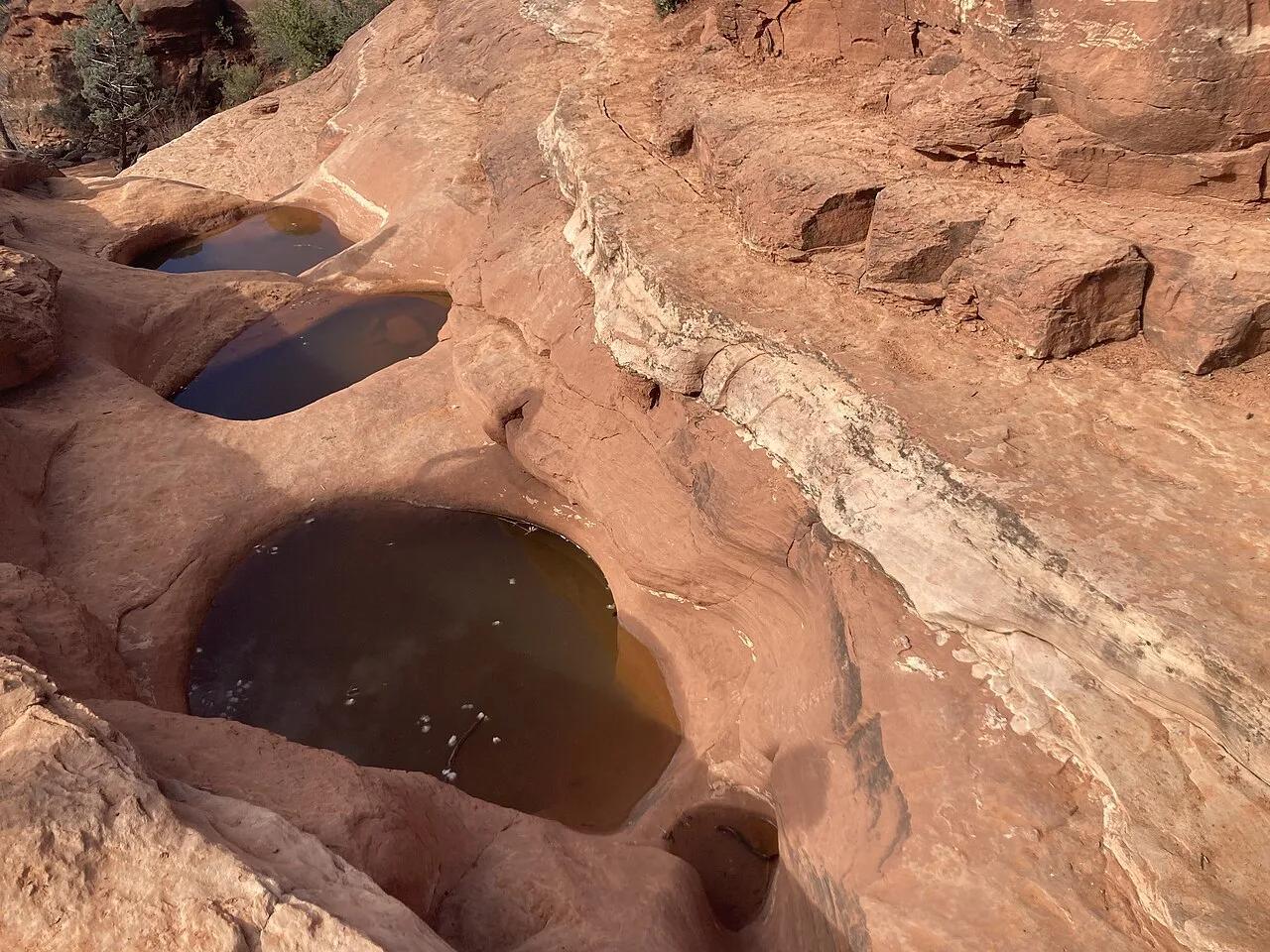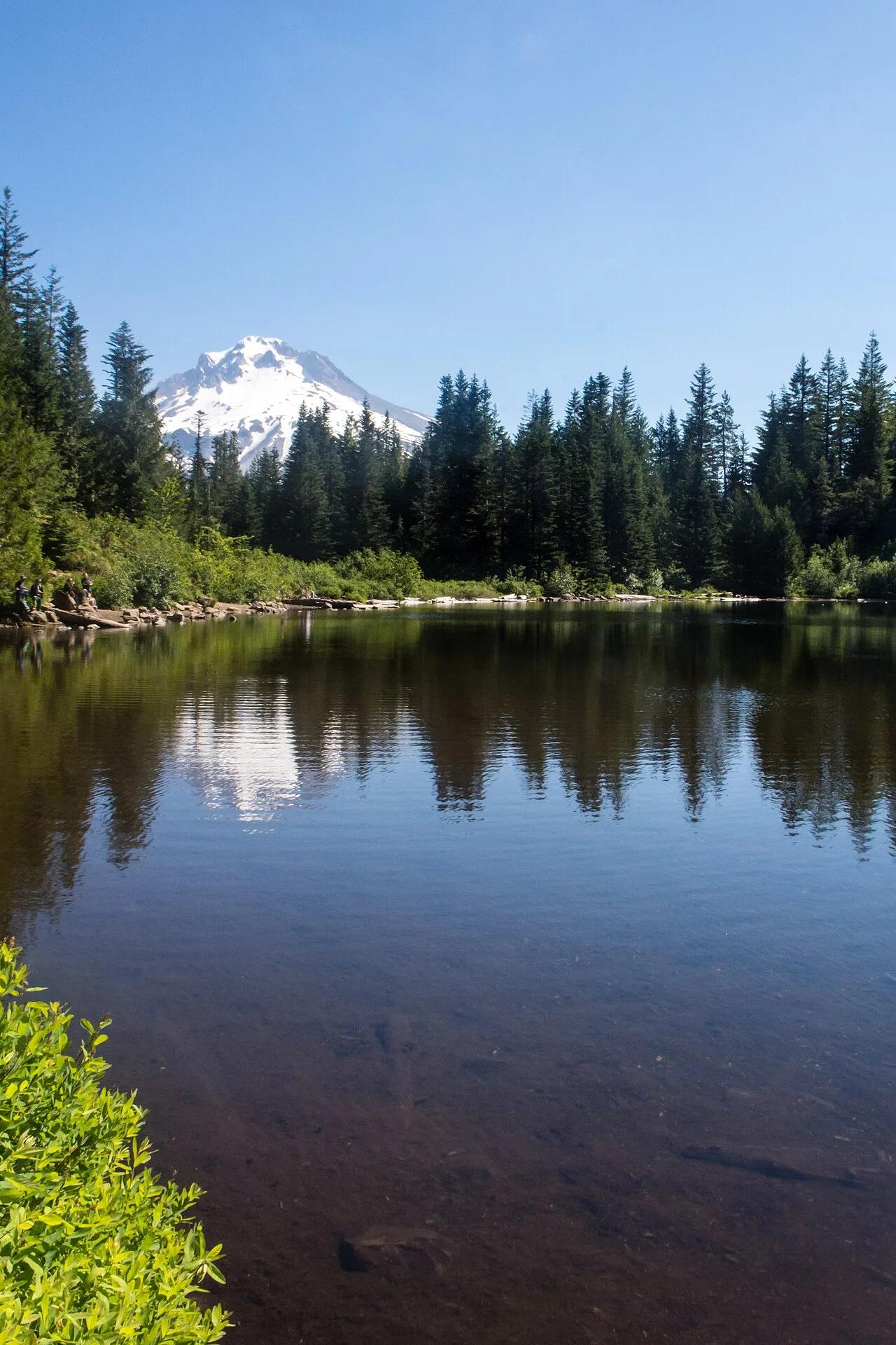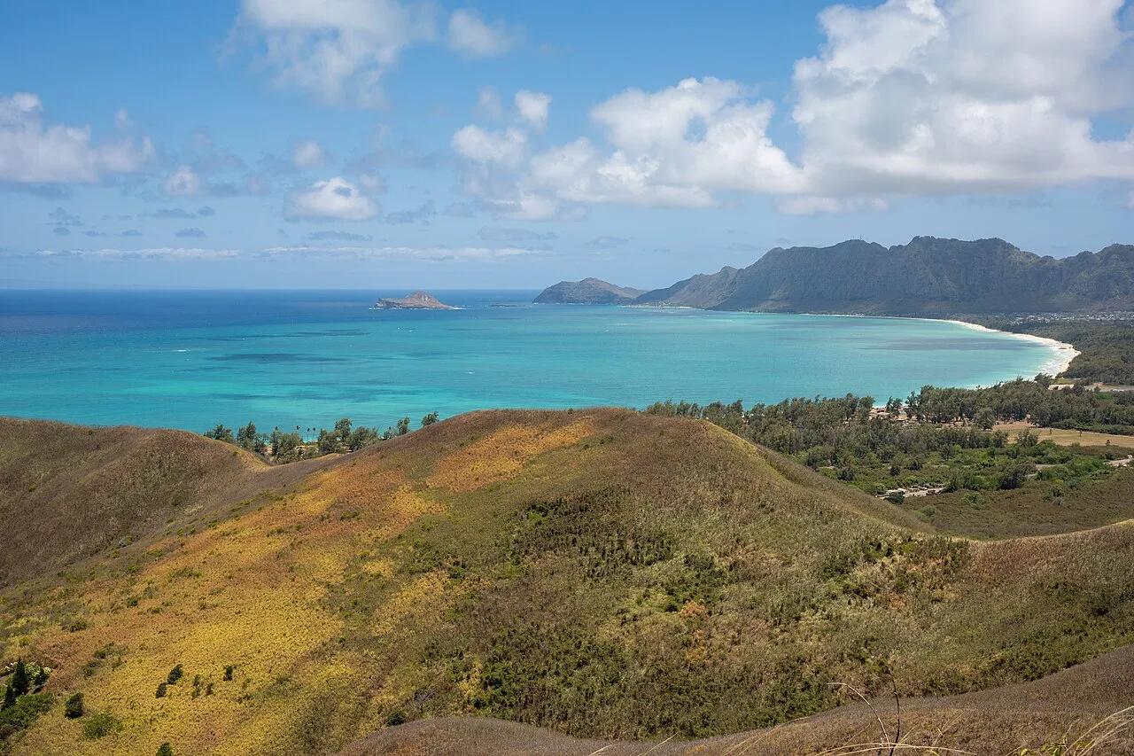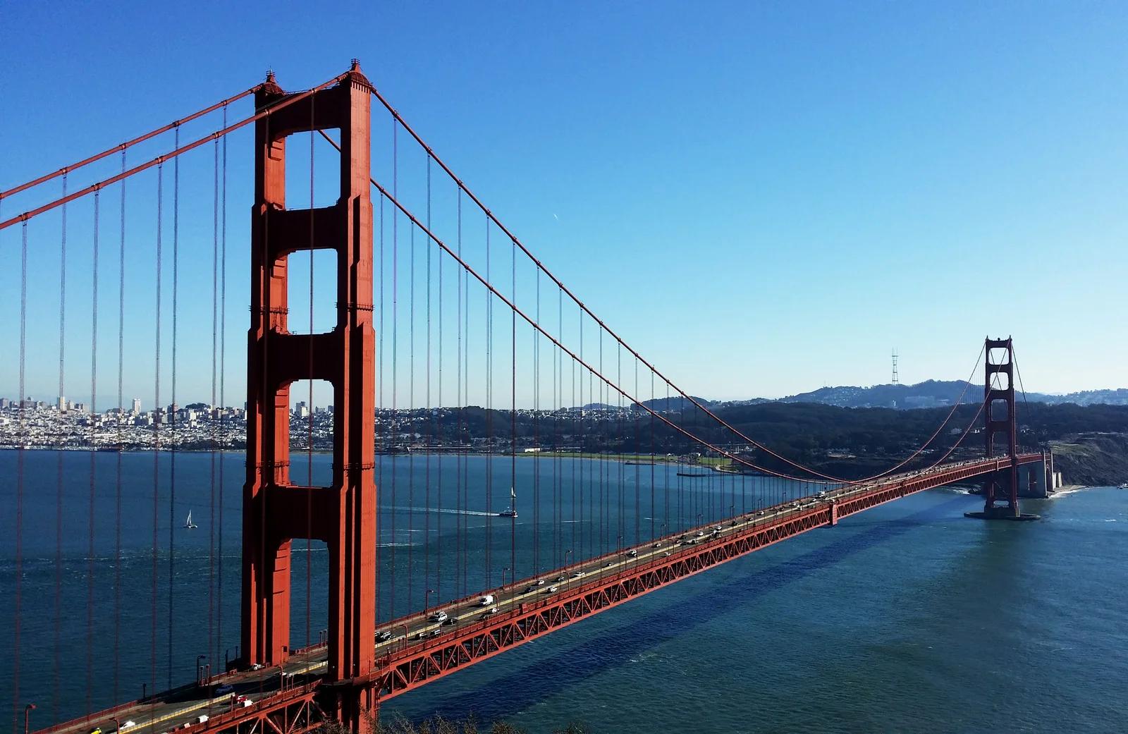
Viewpoint
Golden Gate National Recreation Area · San Francisco Bay Area
Battery Spencer
A 19th-century concrete gun battery perched atop the Marin Headlands offering the ultimate panorama of the Golden Gate Bridge and SF.
- Route
- 0.5 mi
- Climb
- 49 ft
Browse & Discover
Filter by activity, state, region, dog policy, or route effort — or use the interactive map below to find waterfalls, trails, beaches, bikeways, skateparks, and campgrounds near any location.
1,108 of 2,051 places
Drag to pan. Double-click, pinch or scroll to zoom. Keyboard: arrow keys and +/−. Cards below remain available.
Loading map… Browse the spot cards below at any time.

Eaton Canyon Natural Area
The waterfall at the head of lower Eaton Canyon, reached by a wide wash walk from the Eaton Canyon Nature Center and a final creekside scramble.
[scott.medling or en:user:scott.medling user:scott.medling from California, United States] · CC BY-SA 2.0. Source & image licence

Angeles National Forest
The ruined mountain resort of the Mount Lowe Railway, on a front-range promontory above Altadena at the top of the Lower Sam Merrill Trail.
Lennonrodgers at en.wikipedia · Public domain. Source & image licence

Escondido Canyon Park
A multi-tiered waterfall in Escondido Canyon above Malibu. The maintained trail ends at the base of the mossy lower tier.
Santa Monica Mountains National Recreation Area · Public domain. Source & image licence

Inyo National Forest
A chain of small alpine lakes at the head of Little Lakes Valley in the John Muir Wilderness, below the 13,000-foot peaks of the Bear Creek Spire cirque.
Jane S. Richardson (talk · contribs) · CC BY-SA 3.0. Source & image licence

Angeles National Forest
A high saddle and five-way trail junction on the Cucamonga Wilderness ridge, at the top of the steady climb up Icehouse Canyon.
Jason Hollinger · CC BY 2.0. Source & image licence

Mount Tamalpais Watershed
A winter-and-spring cascade on Cataract Creek just below the Laurel Dell picnic area, reached downhill along the Cataract Trail from Rock Spring.
Richard Wood · CC BY-SA 3.0. Source & image licence

Angeles National Forest
A waterfall of about fifty feet filling the head of a narrow, shaded canyon, a short walk upstream from Millard Campground.
Region 5 Photography · Public domain. Source & image licence

Mission Peak Regional Preserve
The bare grassland summit above Fremont, marked by the Mission Peeker sighting pole and climbed by the Hidden Valley Trail from Stanford Avenue.
Oleg Alexandrov · CC BY-SA 3.0. Source & image licence

Angeles National Forest
The highest summit of the San Gabriel Mountains, reached from Baldy Notch along the exposed Devils Backbone ridge.
Darkest tree · CC BY-SA 4.0. Source & image licence

Inyo National Forest
A quiet lake in the Ansel Adams Wilderness beneath Parker Peak, reached through sage and an aspen-lined creek canyon off the June Lake Loop.
Mark Gunn from Novato, California, USA · CC BY 2.0. Source & image licence

Santa Monica Mountains National Recreation Area
The highest point in the Santa Monica Mountains, climbed from the Mishe Mokwa trailhead along the Backbone Trail at Circle X Ranch.
Wasquewhat · CC BY-SA 4.0. Source & image licence

Angeles National Forest
A 50-foot single drop into a shallow plunge pool, 1.7 mi up Big Santa Anita Canyon. Shaded the entire way in. The work is all on the walk out.
U.S. Department of Agriculture / USDA USFS · CC BY 2.0. Source & image licence

Santa Monica Mountains National Recreation Area
The ruins of the Roberts family ranch house at the end of the canyon-floor trail in Solstice Canyon, beside a small seasonal waterfall.
George Heras / Santa Monica Mountains National Recreation Area · Public domain. Source & image licence
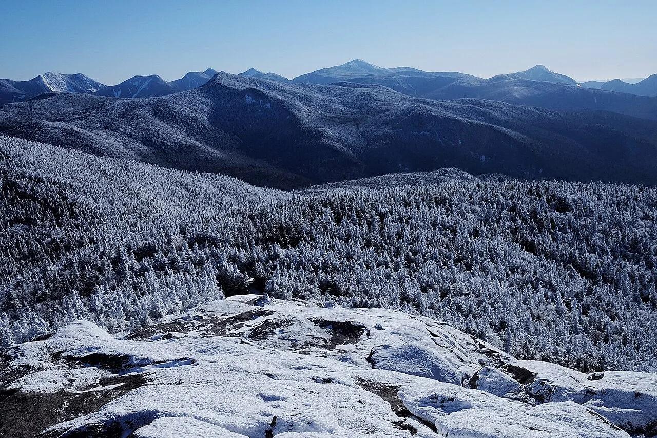
Adirondack High Peaks Wilderness · Adirondacks · New York
A sweeping, 4,098-foot open bedrock peak delivering uninterrupted 360-degree panoramas of Lake Placid and the Adirondack High Peaks.
Photo: stillwellmike · CC BY-SA 2.0
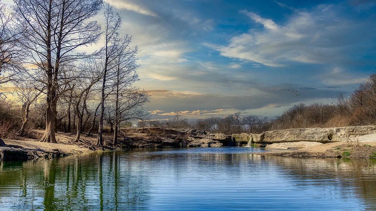
McKinney Falls State Park · Austin & Central Texas · Texas
Upper and Lower limestone shelf waterfalls cascading over ancient volcanic debris and Cretaceous limestone into wide swimming basins in Austin's backyard.
Photo: G. Lamar · CC BY 2.0
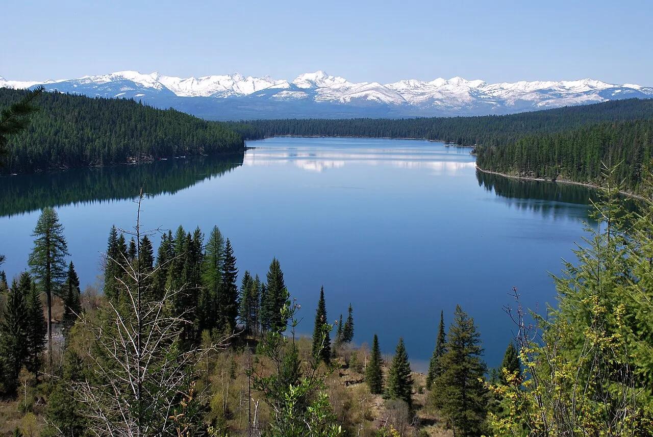
Flathead National Forest · Glacier Country · Montana
Lakeside forested path climbing to a roaring cascade tumbling down limestone crags of the Swan Range.
Photo: Forest Service Northern Region from Missoula, MT, USA · Public domain
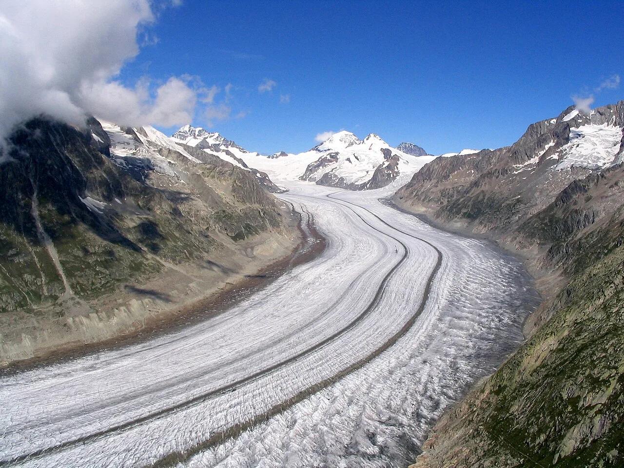
Swiss Alps Jungfrau-Aletsch UNESCO World Heritage · European Alps · Switzerland
High-alpine ridge trail tracing the 20-kilometer sweeping ice curve of the largest glacier in the European Alps.
Photo: Dirk Beyer · CC BY-SA 3.0
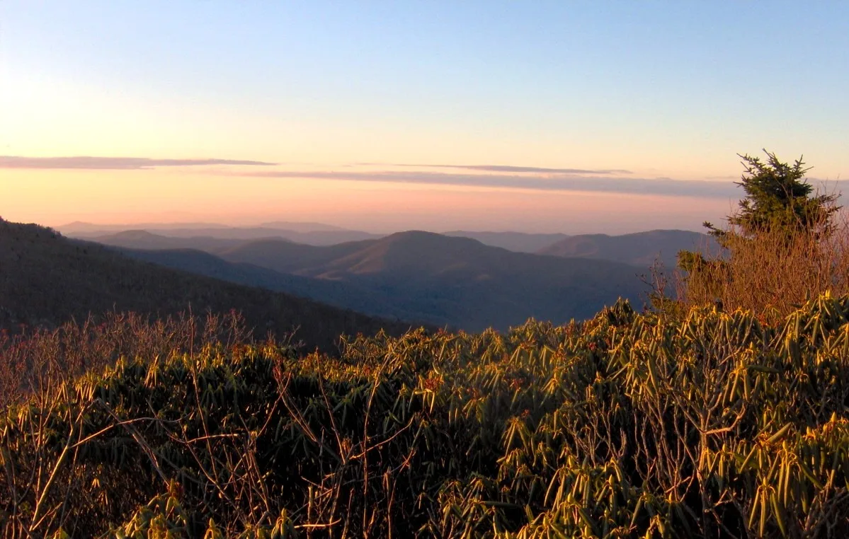
Pisgah & Cherokee National Forests (Carvers Gap) · Appalachian & Blue Ridge · North Carolina
Grassy 5,800-foot southern Appalachian grassy balds ablaze with Catawba rhododendron blooms and 360-degree views of the Black Mountains.
Photo: Brian Stansberry · CC BY 2.5
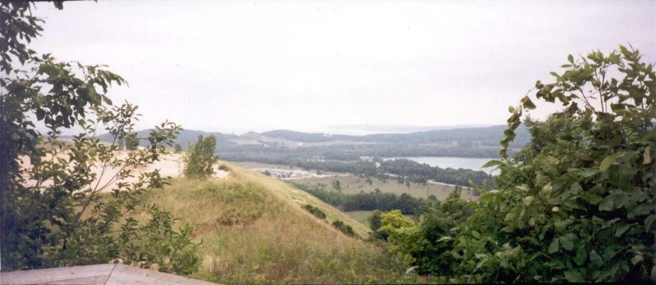
Sleeping Bear Dunes National Lakeshore · Midwest & Great Lakes · Michigan
22-mile paved multi-use bikeway curving past the Dune Climb, Glen Lake's turquoise waters, and the historic barns of Port Oneida.
Photo: Chris Light · CC BY-SA 4.0
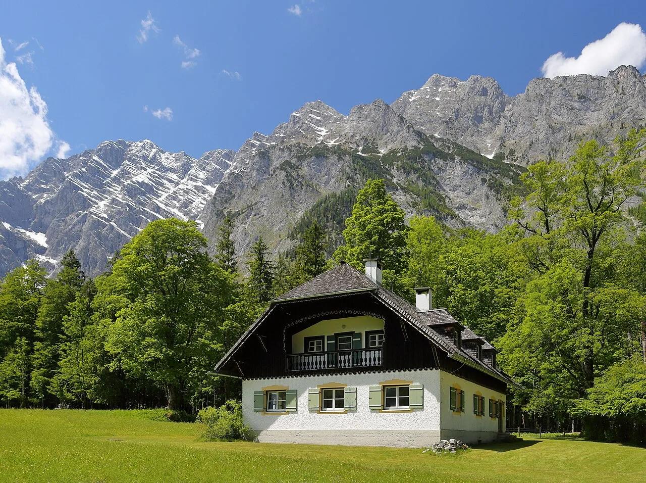
Berchtesgaden National Park · European Alps · Germany
Fjord-like emerald alpine lake beneath the 1,800-meter vertical limestone Watzmann Ostwand and Germany's highest waterfall, Röthbachfall.
Photo: Martin Falbisoner · CC BY-SA 4.0
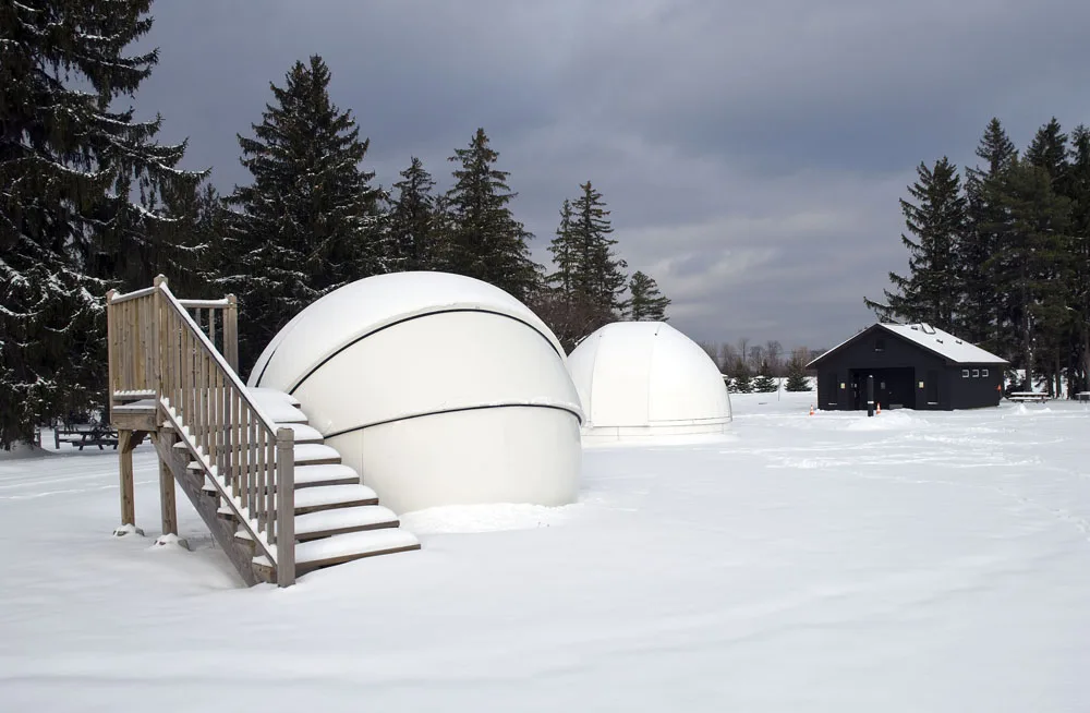
Cherry Springs State Park · PA Wilds / Potter County · Pennsylvania
A Gold-Tier International Dark Sky Park perched atop an isolated 2,300-foot Allegheny plateau where the Milky Way casts shadows.
Photo: Curt Weinhold · CC BY-SA 3.0
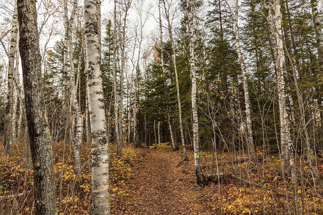
East Bethel Pine Barrens · Midwest & Great Lakes · Minnesota
27 manicured holes carved through towering red pine corridors, water hazards, and island greens north of Minneapolis.
Photo: Tony Webster from San Francisco, California · CC BY-SA 2.0
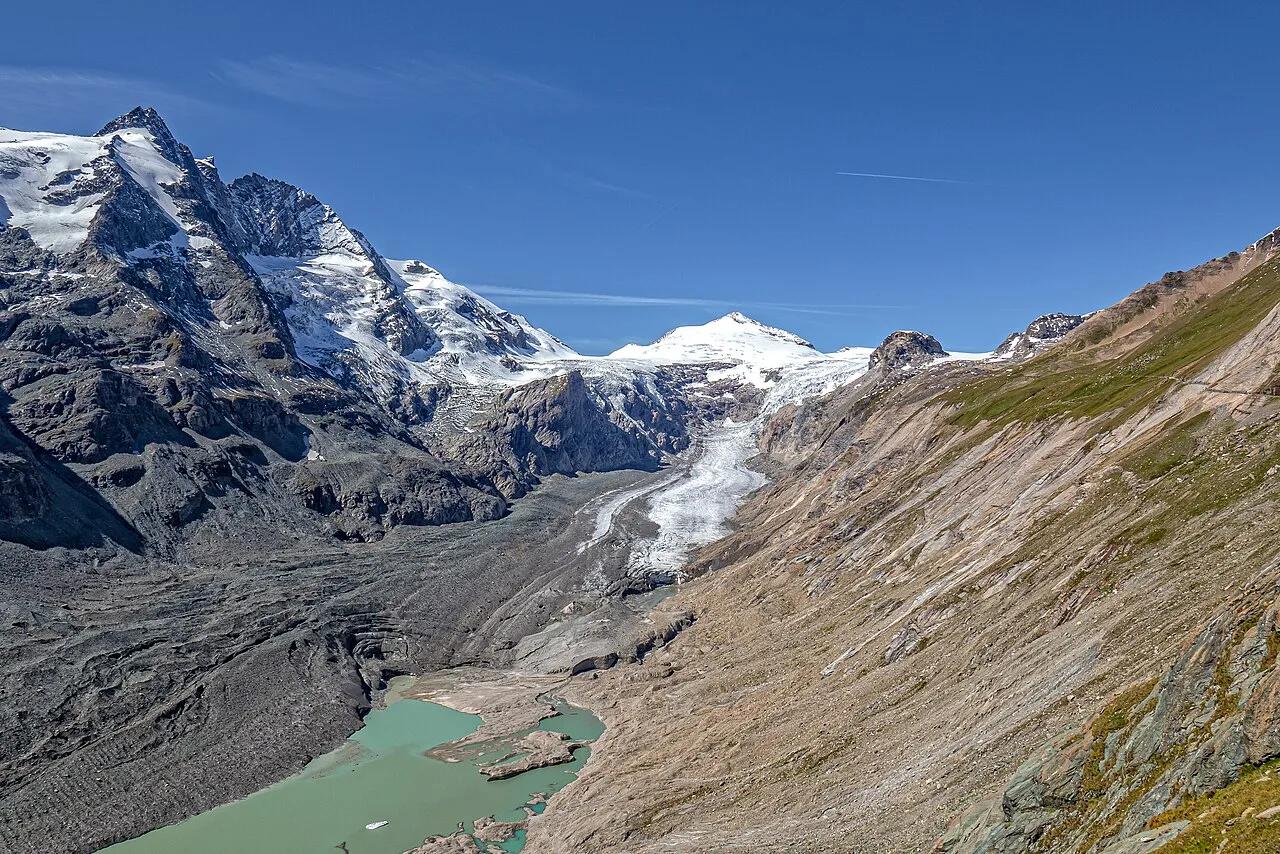
Hohe Tauern National Park (Grossglockner High Alpine Road) · European Alps · Austria
Panoramic rock-tunnel promenade facing Austria's highest peak, 3,798-meter Grossglockner, and the 8-kilometer Pasterze Glacier.
Photo: Frans Berkelaar · CC BY 2.0
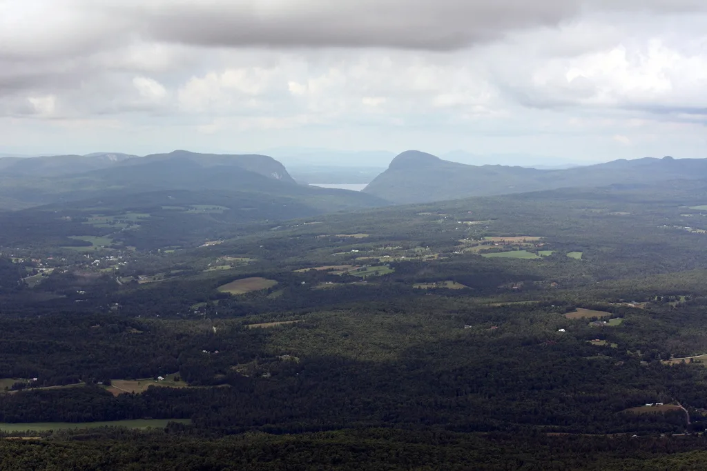
East Burke / Northeast Kingdom · Northeast & New England · Vermont
Over 100 miles of velvety sugar-maple forest singletrack and rolling pasture ridgelines overlooking Burke Mountain.
Photo: Jcantroot · Public domain
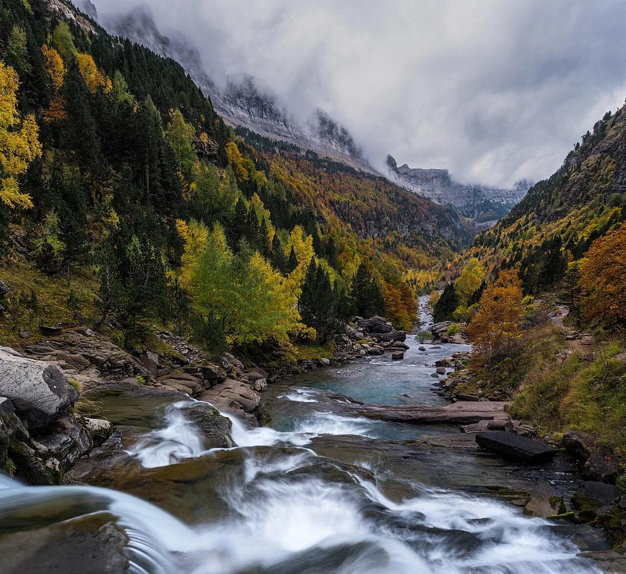
Parque Nacional de Ordesa y Monte Perdido (Pyrenees UNESCO) · Mediterranean Europe · Spain
800-meter-high glaciated limestone canyon walls, beech-fir forests, and stepped Gradas de Soaso waterfalls beneath 3,355-meter Monte Perdido.
Photo: Moahim · CC BY-SA 4.0
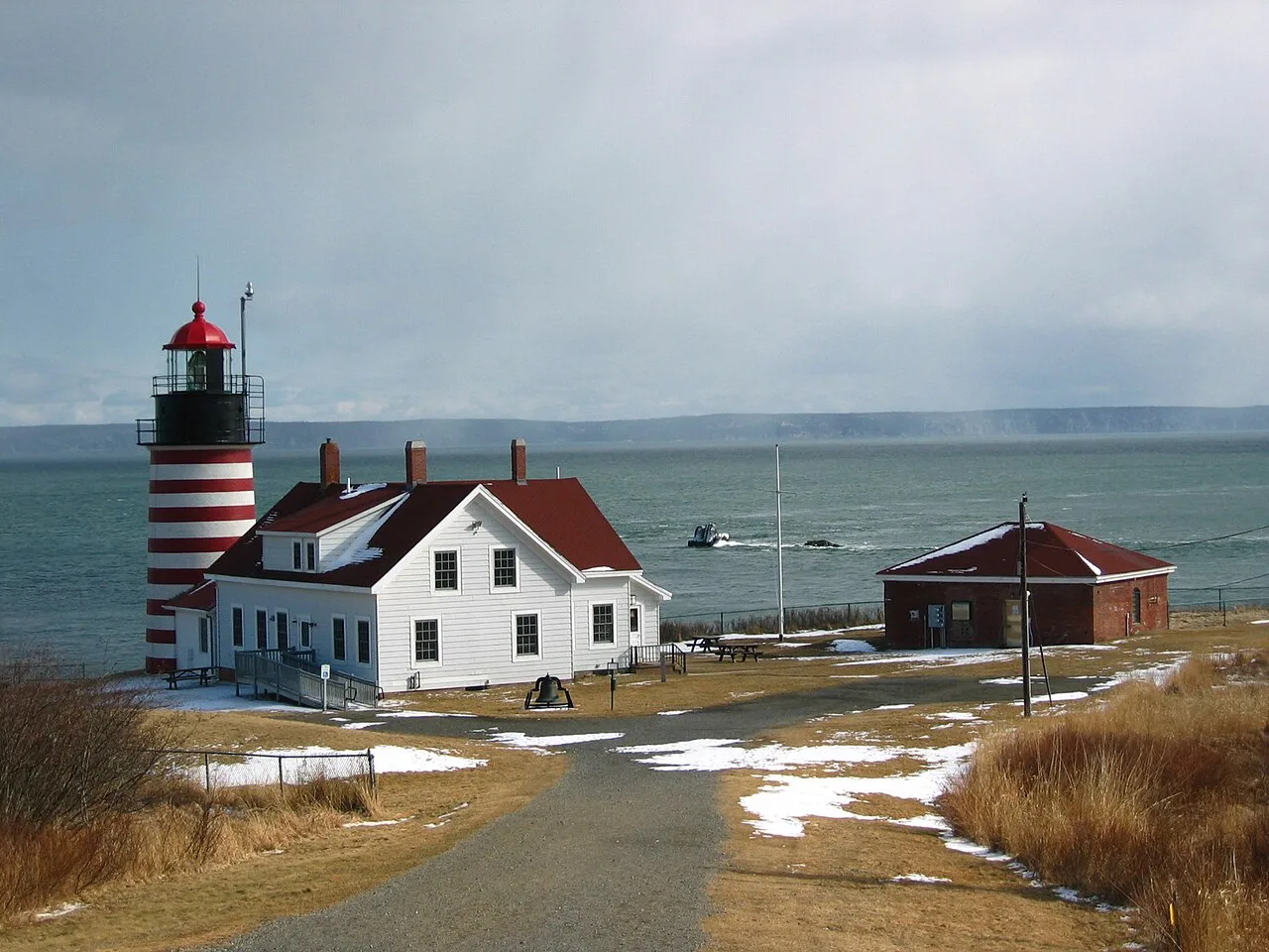
Quoddy Head State Park (Lubec) · Northeast & New England · Maine
Candy-striped lighthouse at the easternmost point of the United States, with basalt cliff trails above the Bay of Fundy tides and a sub-arctic coastal plateau bog.
Photo: M. Trindade Deramo · Public domain