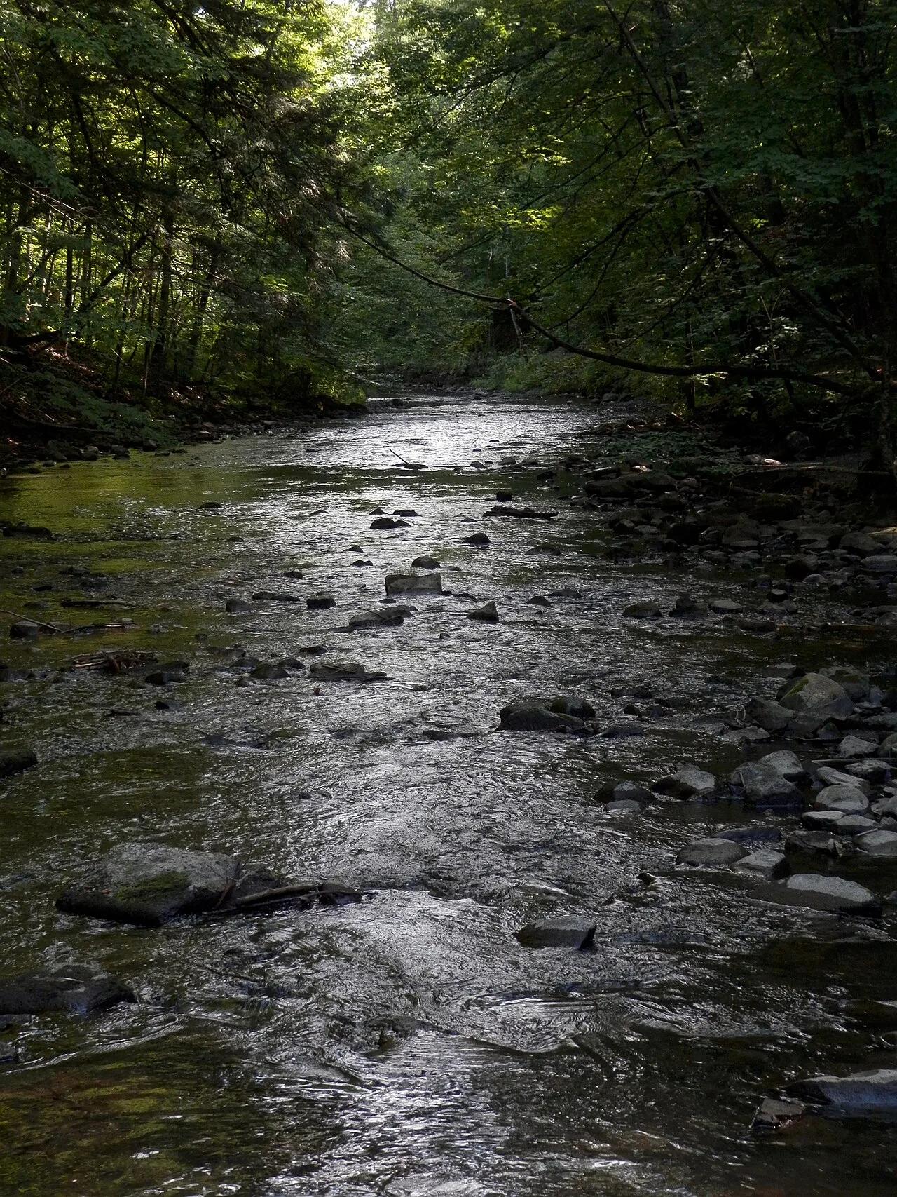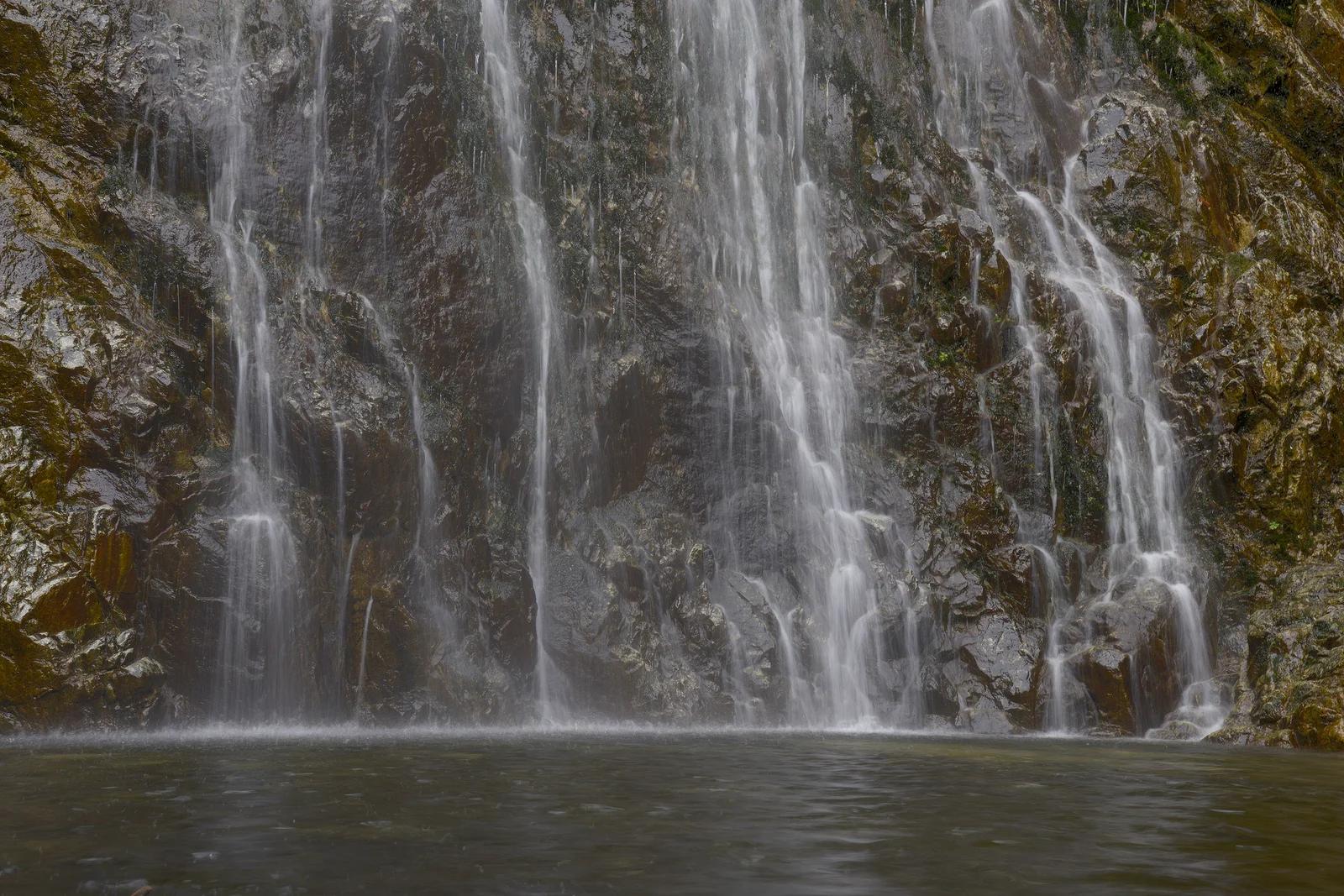
Waterfall
San Bernardino National Forest · Southern California
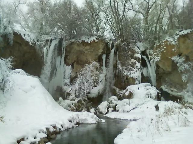
Bonita Falls
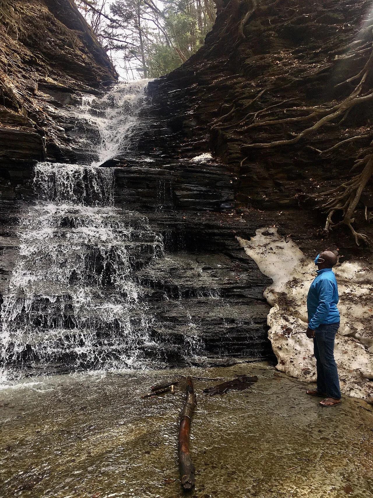
A 100-foot waterfall cascading over a sheer amphitheater in the San Gabriel Mountains near Lytle Creek.
- Route
- 1.5 mi
- Climb
- 299 ft
Browse & Discover
Filter by activity, state, region, dog policy, or route effort — or use the interactive map below to find waterfalls, trails, beaches, bikeways, skateparks, and campgrounds near any location.
1,108 of 2,051 places
Drag to pan. Double-click, pinch or scroll to zoom. Keyboard: arrow keys and +/−. Cards below remain available.
Loading map… Browse the spot cards below at any time.

Eaton Canyon Natural Area
The waterfall at the head of lower Eaton Canyon, reached by a wide wash walk from the Eaton Canyon Nature Center and a final creekside scramble.
[scott.medling or en:user:scott.medling user:scott.medling from California, United States] · CC BY-SA 2.0. Source & image licence

Angeles National Forest
The ruined mountain resort of the Mount Lowe Railway, on a front-range promontory above Altadena at the top of the Lower Sam Merrill Trail.
Lennonrodgers at en.wikipedia · Public domain. Source & image licence

Escondido Canyon Park
A multi-tiered waterfall in Escondido Canyon above Malibu. The maintained trail ends at the base of the mossy lower tier.
Santa Monica Mountains National Recreation Area · Public domain. Source & image licence

Inyo National Forest
A chain of small alpine lakes at the head of Little Lakes Valley in the John Muir Wilderness, below the 13,000-foot peaks of the Bear Creek Spire cirque.
Jane S. Richardson (talk · contribs) · CC BY-SA 3.0. Source & image licence

Angeles National Forest
A high saddle and five-way trail junction on the Cucamonga Wilderness ridge, at the top of the steady climb up Icehouse Canyon.
Jason Hollinger · CC BY 2.0. Source & image licence

Mount Tamalpais Watershed
A winter-and-spring cascade on Cataract Creek just below the Laurel Dell picnic area, reached downhill along the Cataract Trail from Rock Spring.
Richard Wood · CC BY-SA 3.0. Source & image licence

Angeles National Forest
A waterfall of about fifty feet filling the head of a narrow, shaded canyon, a short walk upstream from Millard Campground.
Region 5 Photography · Public domain. Source & image licence

Mission Peak Regional Preserve
The bare grassland summit above Fremont, marked by the Mission Peeker sighting pole and climbed by the Hidden Valley Trail from Stanford Avenue.
Oleg Alexandrov · CC BY-SA 3.0. Source & image licence

Angeles National Forest
The highest summit of the San Gabriel Mountains, reached from Baldy Notch along the exposed Devils Backbone ridge.
Darkest tree · CC BY-SA 4.0. Source & image licence

Inyo National Forest
A quiet lake in the Ansel Adams Wilderness beneath Parker Peak, reached through sage and an aspen-lined creek canyon off the June Lake Loop.
Mark Gunn from Novato, California, USA · CC BY 2.0. Source & image licence

Santa Monica Mountains National Recreation Area
The highest point in the Santa Monica Mountains, climbed from the Mishe Mokwa trailhead along the Backbone Trail at Circle X Ranch.
Wasquewhat · CC BY-SA 4.0. Source & image licence

Angeles National Forest
A 50-foot single drop into a shallow plunge pool, 1.7 mi up Big Santa Anita Canyon. Shaded the entire way in. The work is all on the walk out.
U.S. Department of Agriculture / USDA USFS · CC BY 2.0. Source & image licence

Santa Monica Mountains National Recreation Area
The ruins of the Roberts family ranch house at the end of the canyon-floor trail in Solstice Canyon, beside a small seasonal waterfall.
George Heras / Santa Monica Mountains National Recreation Area · Public domain. Source & image licence
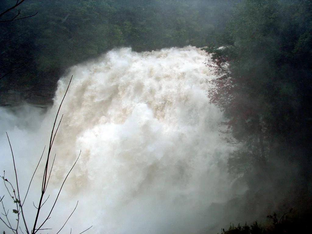
Gorges State Park / Pisgah National Forest · Appalachian & Blue Ridge · North Carolina
150-foot thundering granite cataract throwing permanent rainbow mist across a temperate rainforest gorge, upstream from a natural rock waterslide.
Photo: Wncoutdoors · CC BY-SA 3.0
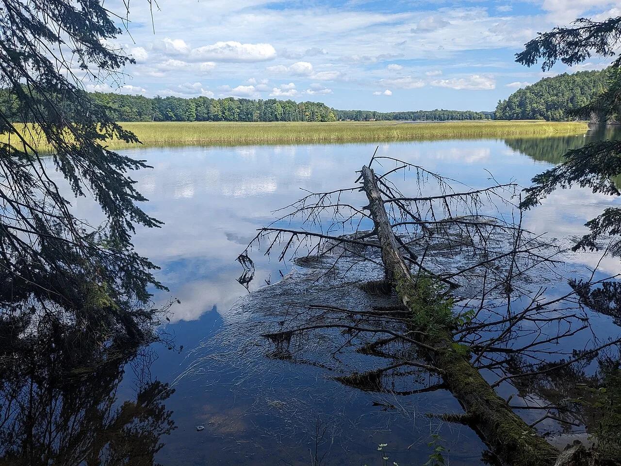
Huron-Manistee National Forests (Oscoda) · Midwest & Great Lakes · Michigan
300-step boardwalk descending 200-foot glacial sand bluffs to natural coldwater springs feeding the Au Sable River canoe corridor.
Photo: Mtn-graphic · CC BY-SA 4.0
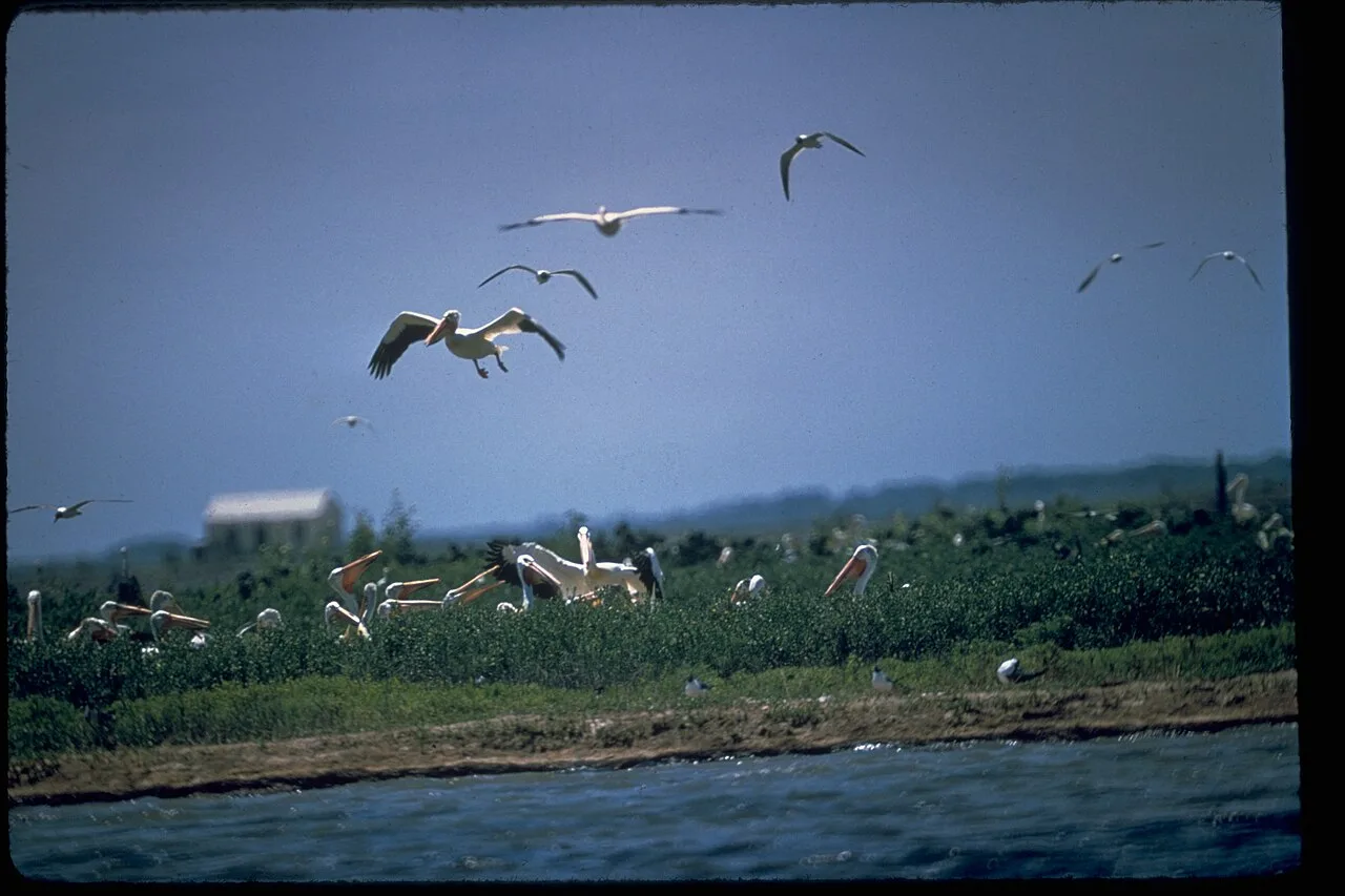
Padre Island National Seashore · Gulf Coast · Texas
The longest undeveloped barrier island in the world, featuring 70 miles of protected Gulf dunes, sea turtle nesting grounds, and shell-strewn sandbars.
Photo: National Park Service Digital Image Archives · Public domain
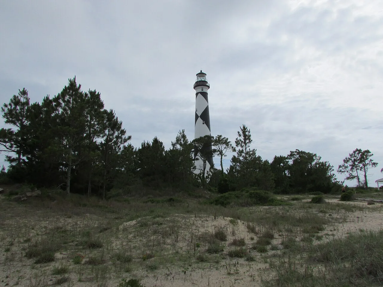
Cape Lookout National Seashore (Outer Banks) · Atlantic & Gulf Coasts · North Carolina
56 miles of undeveloped boat-access barrier island beaches beneath the iconic black-and-white diamond Cape Lookout Lighthouse.
Photo: DrStew82 · CC BY-SA 4.0
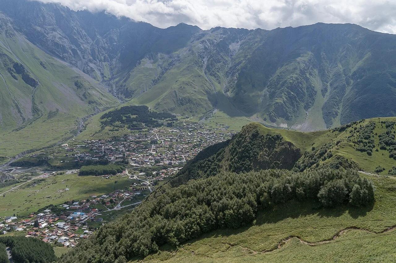
Kazbegi National Park (Greater Caucasus) · Central Europe · Georgia
14th-century stone mountain sanctuary perched on an alpine ridge beneath the 5,054-meter ice dome of Mount Kazbek (Mkinvartsveri).
Photo: Alexkom000 · CC BY 4.0
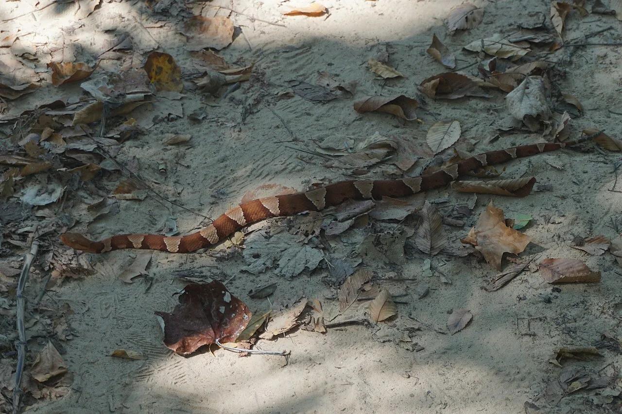
Dinosaur Valley State Park · North Texas Hill Country · Texas
Walk directly alongside fossilized 113-million-year-old sauropod and theropod dinosaur footprints embedded in the limestone bed of the Paluxy River.
Photo: Michael Barera · CC BY-SA 4.0
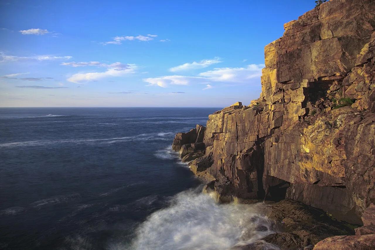
Acadia National Park (Mount Desert Island) · Northeast & New England · Maine
Spruce-fir coastal forest campground linked by footpath to the pink granite sea cliffs of Otter Point and Gorham Mountain.
Photo: National Park Service / Matthew Lambert (Acadia Youth Technology Team) deriva... · Public domain
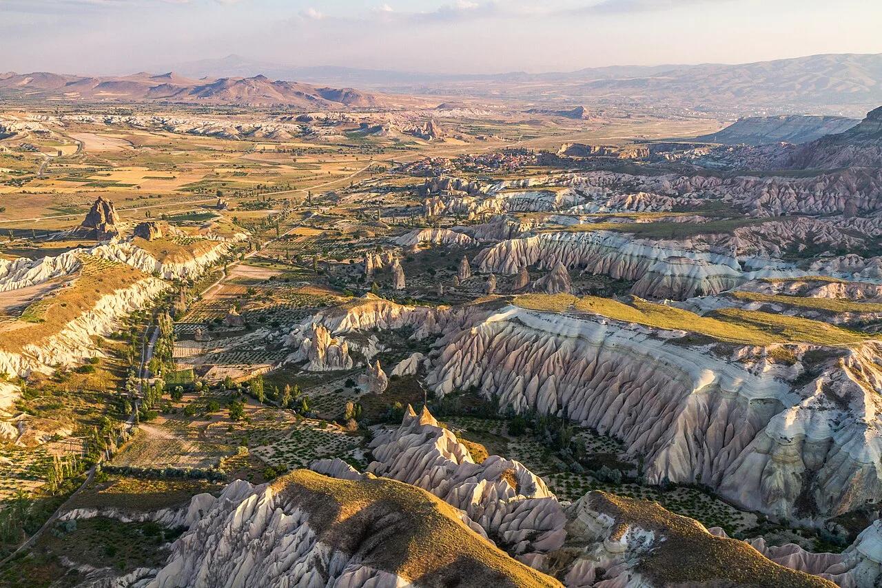
Göreme Historical National Park (UNESCO World Heritage) · Mediterranean Europe · Turkey
Sculpted pink-and-rose volcanic ignimbrite canyons, hoodoo fairy chimneys, and rock-cut Byzantine cave chapels.
Photo: Benh LIEU SONG (Flickr) · CC BY-SA 4.0
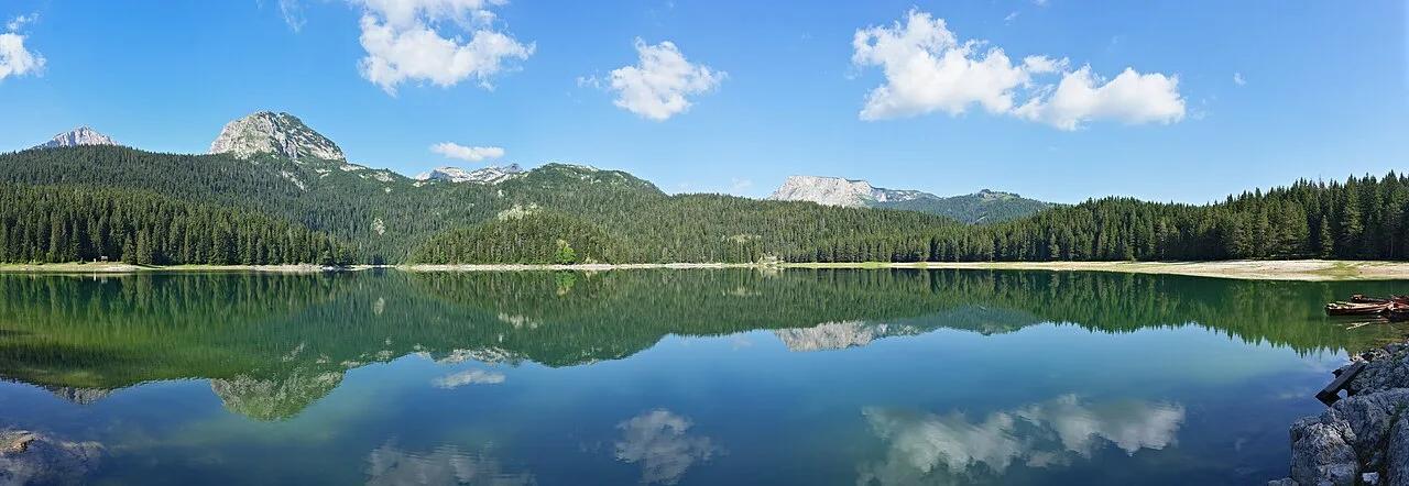
Durmitor National Park (UNESCO World Heritage) · Mediterranean Europe · Montenegro
Twin glacial interconnected lakes ringed by black pine forests beneath the 2,523-meter folded limestone tooth of Međed and Bobotov Kuk.
Photo: Ingo Mehling · CC BY-SA 4.0
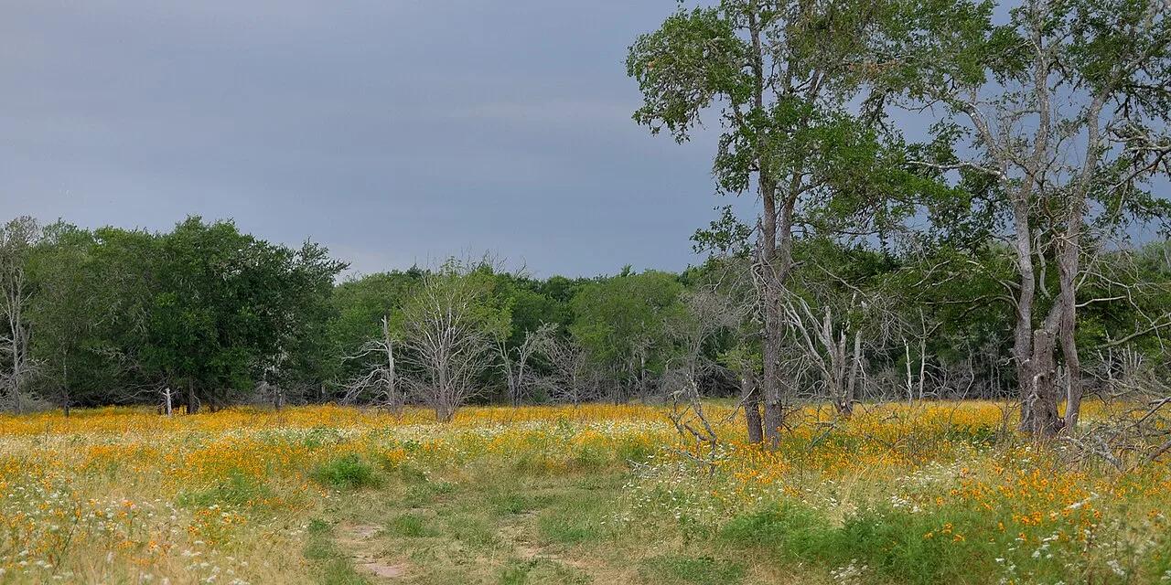
Lost Maples State Natural Area · Texas Hill Country · Texas
Deep Edwards Plateau canyon sheltering rare relict bigtooth maples that blaze brilliant red in autumn, crowned by weathered limestone monolith Monkey Rock.
Photo: William L. Farr · CC BY-SA 4.0