Viewpoint
Bureau of Land Management · Uintah Basin · Utah
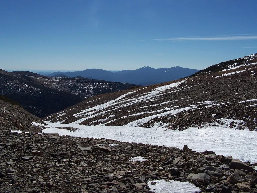
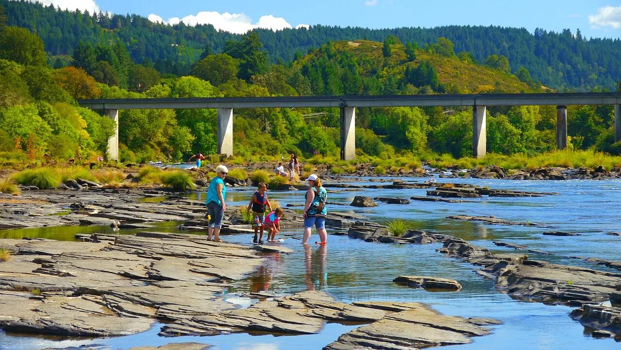
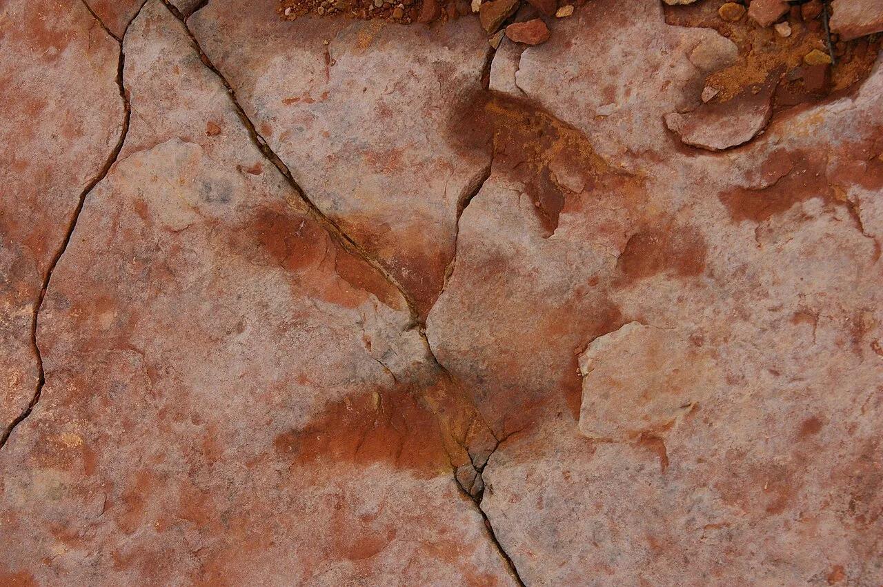
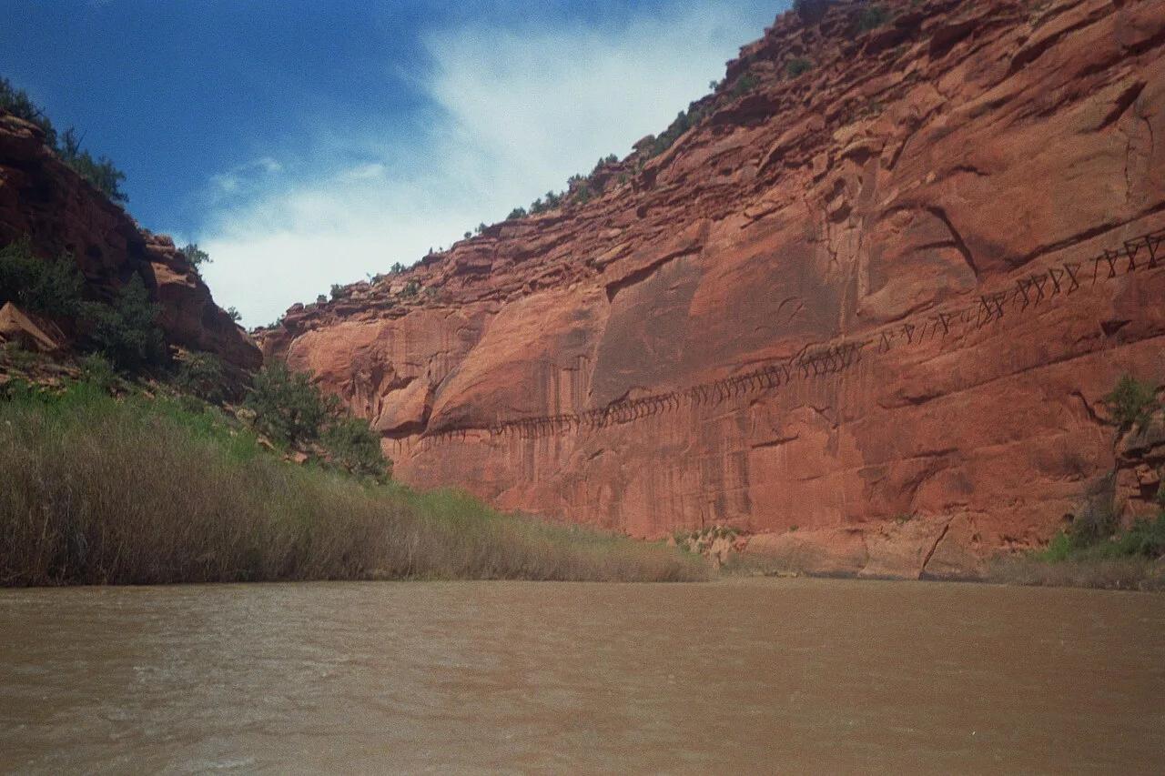
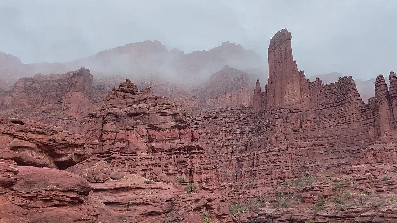
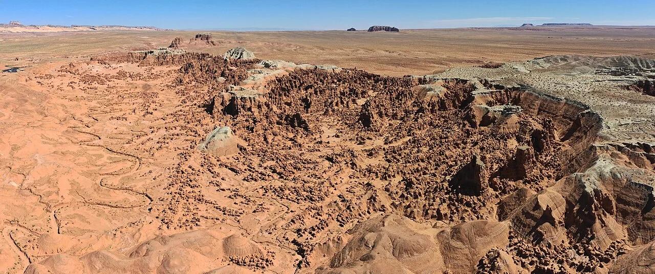
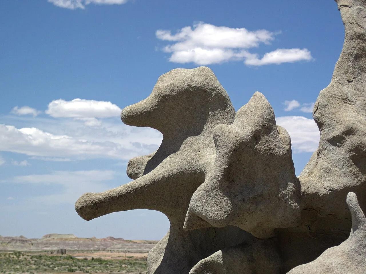
Fantasy Canyon
Intricately weathered Eocene sandstone labyrinth nicknamed Nature's China Cabinet for its delicate pinnacles and gargoyles.
- Route
- 0.6 mi
- Climb
- 49 ft
Browse & Discover
Filter by activity, state, region, dog policy, or route effort — or use the interactive map below to find waterfalls, trails, beaches, bikeways, skateparks, and campgrounds near any location.
1,108 of 2,051 places
Drag to pan. Double-click, pinch or scroll to zoom. Keyboard: arrow keys and +/−. Cards below remain available.
Loading map… Browse the spot cards below at any time.

Eaton Canyon Natural Area
The waterfall at the head of lower Eaton Canyon, reached by a wide wash walk from the Eaton Canyon Nature Center and a final creekside scramble.
[scott.medling or en:user:scott.medling user:scott.medling from California, United States] · CC BY-SA 2.0. Source & image licence

Angeles National Forest
The ruined mountain resort of the Mount Lowe Railway, on a front-range promontory above Altadena at the top of the Lower Sam Merrill Trail.
Lennonrodgers at en.wikipedia · Public domain. Source & image licence

Escondido Canyon Park
A multi-tiered waterfall in Escondido Canyon above Malibu. The maintained trail ends at the base of the mossy lower tier.
Santa Monica Mountains National Recreation Area · Public domain. Source & image licence

Inyo National Forest
A chain of small alpine lakes at the head of Little Lakes Valley in the John Muir Wilderness, below the 13,000-foot peaks of the Bear Creek Spire cirque.
Jane S. Richardson (talk · contribs) · CC BY-SA 3.0. Source & image licence

Angeles National Forest
A high saddle and five-way trail junction on the Cucamonga Wilderness ridge, at the top of the steady climb up Icehouse Canyon.
Jason Hollinger · CC BY 2.0. Source & image licence

Mount Tamalpais Watershed
A winter-and-spring cascade on Cataract Creek just below the Laurel Dell picnic area, reached downhill along the Cataract Trail from Rock Spring.
Richard Wood · CC BY-SA 3.0. Source & image licence

Angeles National Forest
A waterfall of about fifty feet filling the head of a narrow, shaded canyon, a short walk upstream from Millard Campground.
Region 5 Photography · Public domain. Source & image licence

Mission Peak Regional Preserve
The bare grassland summit above Fremont, marked by the Mission Peeker sighting pole and climbed by the Hidden Valley Trail from Stanford Avenue.
Oleg Alexandrov · CC BY-SA 3.0. Source & image licence

Angeles National Forest
The highest summit of the San Gabriel Mountains, reached from Baldy Notch along the exposed Devils Backbone ridge.
Darkest tree · CC BY-SA 4.0. Source & image licence

Inyo National Forest
A quiet lake in the Ansel Adams Wilderness beneath Parker Peak, reached through sage and an aspen-lined creek canyon off the June Lake Loop.
Mark Gunn from Novato, California, USA · CC BY 2.0. Source & image licence

Santa Monica Mountains National Recreation Area
The highest point in the Santa Monica Mountains, climbed from the Mishe Mokwa trailhead along the Backbone Trail at Circle X Ranch.
Wasquewhat · CC BY-SA 4.0. Source & image licence

Angeles National Forest
A 50-foot single drop into a shallow plunge pool, 1.7 mi up Big Santa Anita Canyon. Shaded the entire way in. The work is all on the walk out.
U.S. Department of Agriculture / USDA USFS · CC BY 2.0. Source & image licence

Santa Monica Mountains National Recreation Area
The ruins of the Roberts family ranch house at the end of the canyon-floor trail in Solstice Canyon, beside a small seasonal waterfall.
George Heras / Santa Monica Mountains National Recreation Area · Public domain. Source & image licence
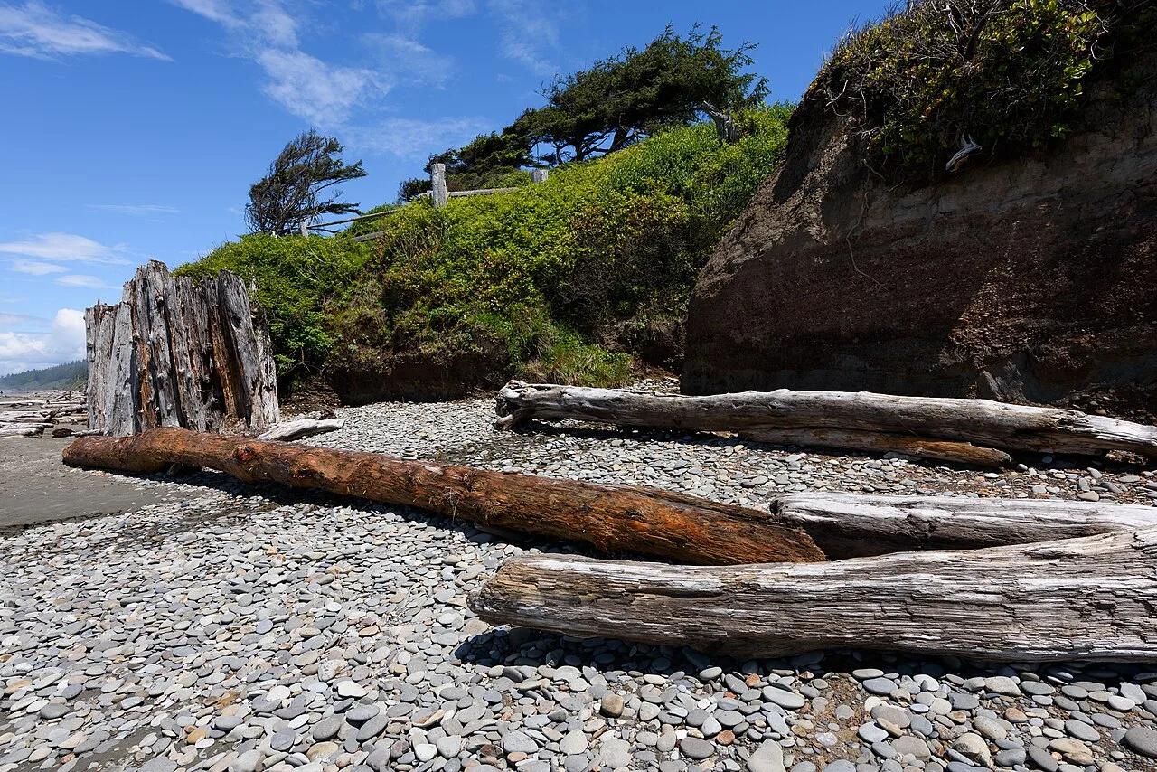
Olympic National Park · Olympic Peninsula · Washington
Coastal sandstone bluff campsites perched above pounding Pacific surf, giant Sitka spruce driftwood, and the Tree of Life root cave.
Photo: King of Hearts · CC BY-SA 4.0
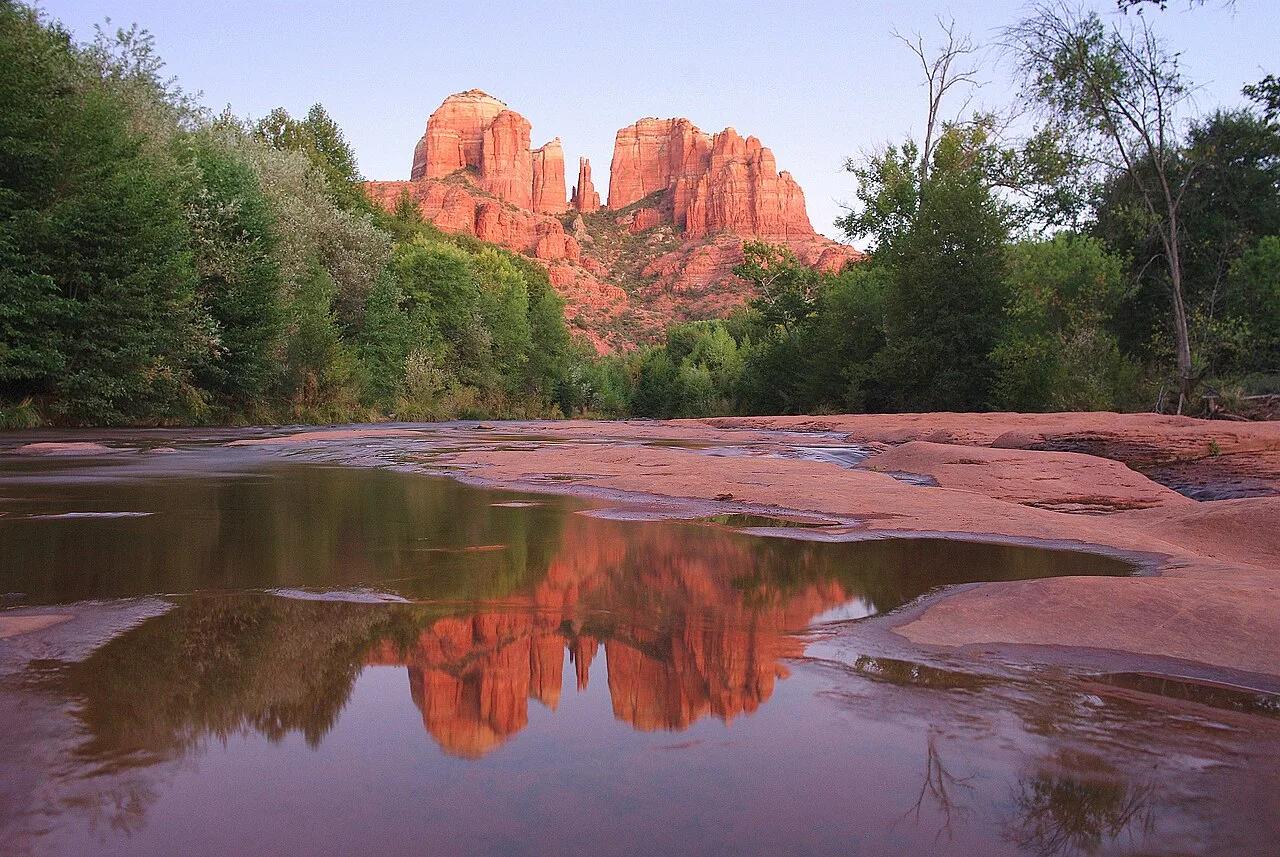
Coconino National Forest (Sedona) · Grand Canyon & Northern Arizona · Arizona
Steep red Schnebly Hill sandstone ledges and short rock-chimney scramble to a dramatic saddle framed by crimson spires.
Photo: Adam Baker from Houston / Moscow / Toulouse (travel a lot) · CC BY 2.0
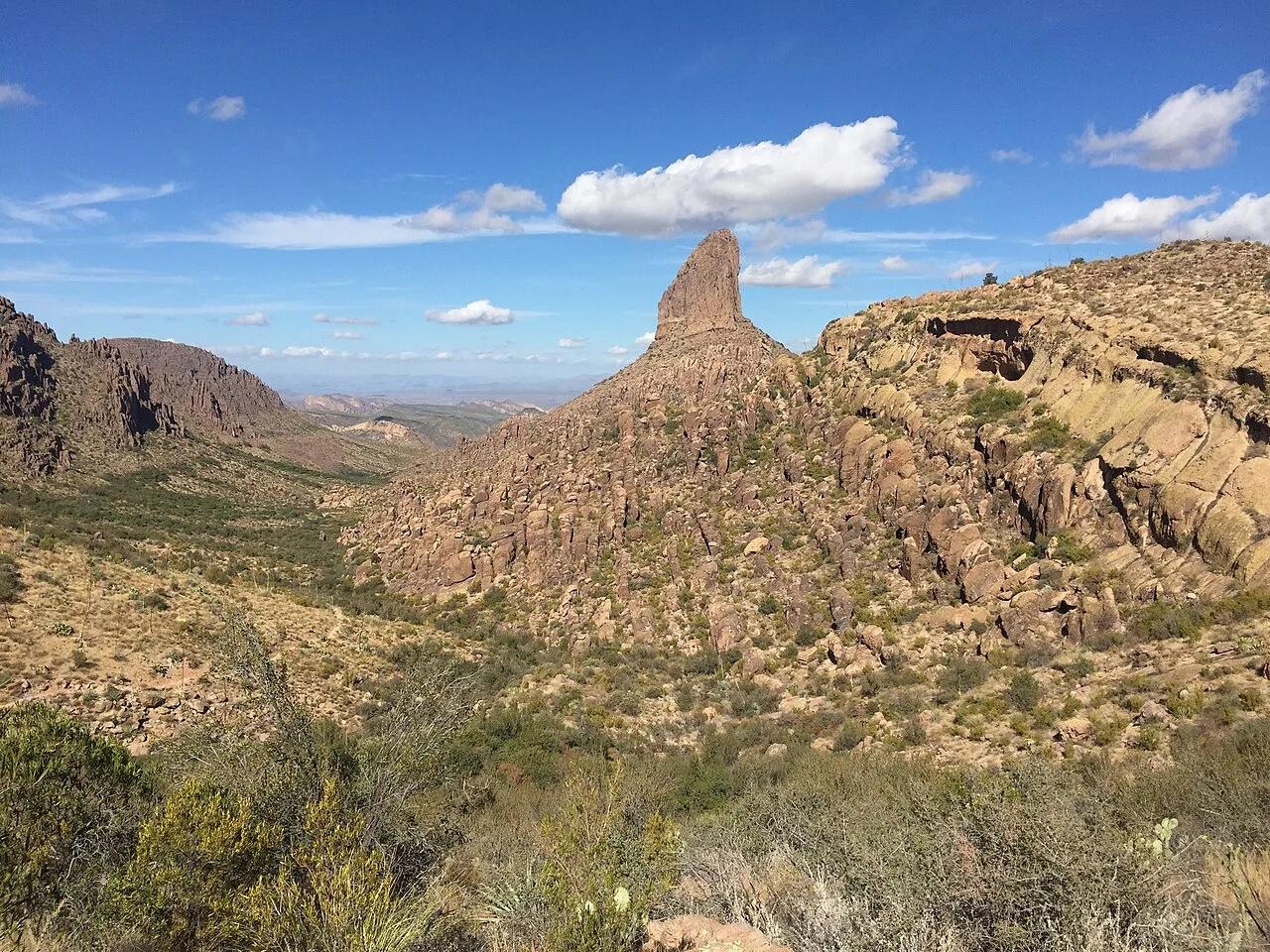
Tonto National Forest (Superstition Wilderness) · Southwest & Sonoran Desert · Arizona
Sonoran saguaro canyon climbing to a breezy volcanic tuff saddle directly facing the 4,555-foot spire of Weavers Needle.
Photo: Andrew Z. Colvin · CC BY-SA 4.0
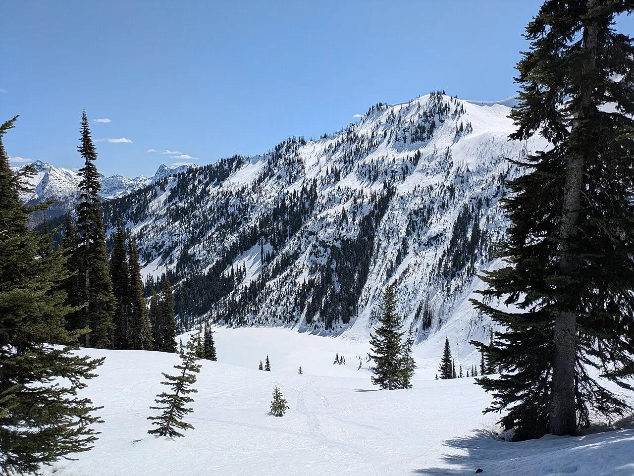
Okanogan-Wenatchee National Forest / North Cascades · Pacific Northwest · Washington
Golden autumn larch needles and glacier-carved horn peaks encircling emerald Lake Ann and Rainy Lake at 6,650 feet.
Photo: Buidhe · CC BY-SA 4.0
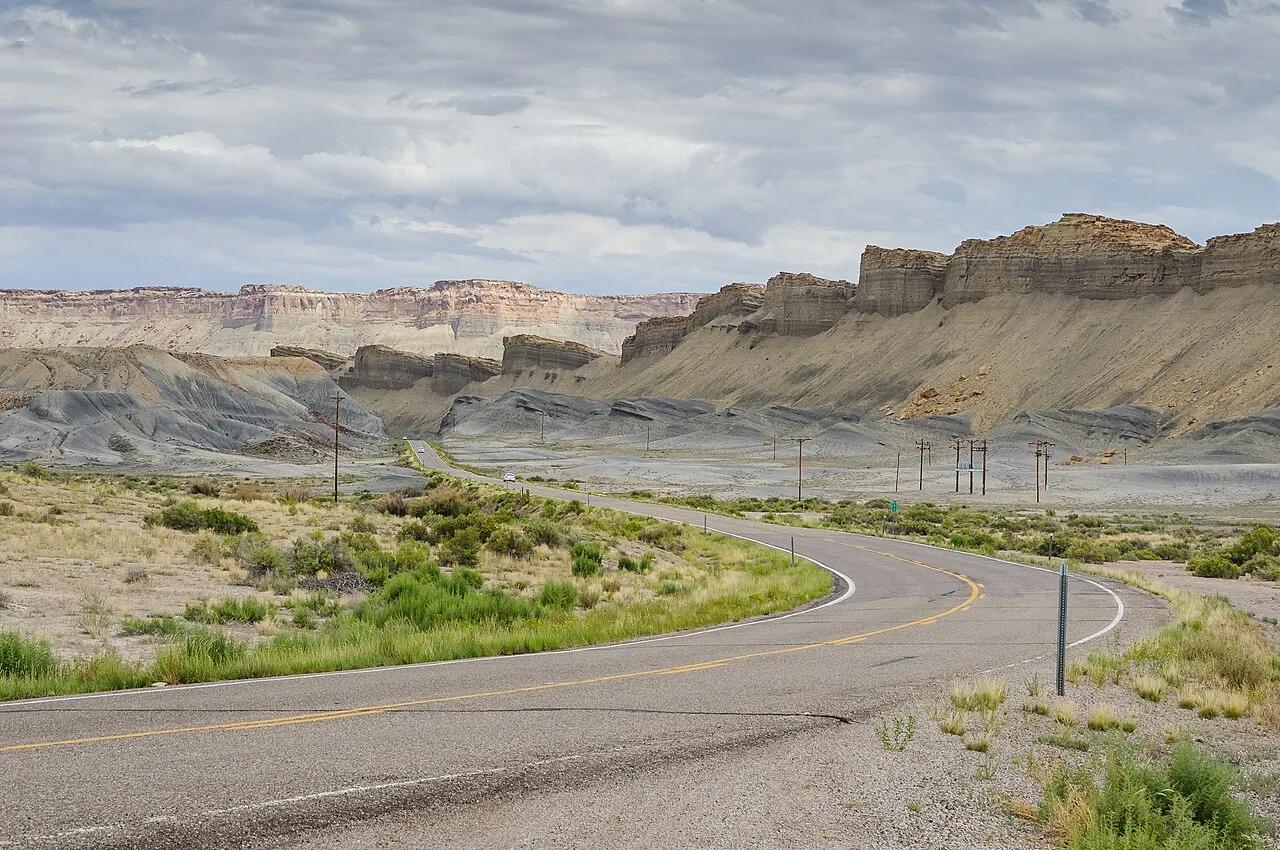
Big Cottonwood Canyon (Wasatch-Cache NF) · Rocky Mountains · Utah
High-altitude 18-hole mountain disc golf course descending from 9,000 feet through aspen glades and wildflower ski bowls in Big Cottonwood Canyon.
Photo: DXR · CC BY-SA 3.0
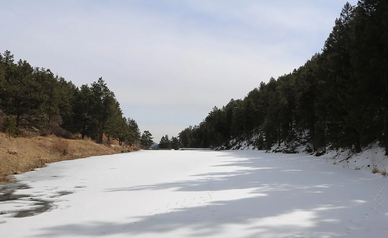
Pike National Forest (Buffalo Creek Recreation Area) · Rocky Mountains · Colorado
Fast decomposed-Pikes-Peak-granite flow singletrack winding through dramatic boulder formations and South Platte River views.
Photo: Jeffrey Beall · CC BY 4.0
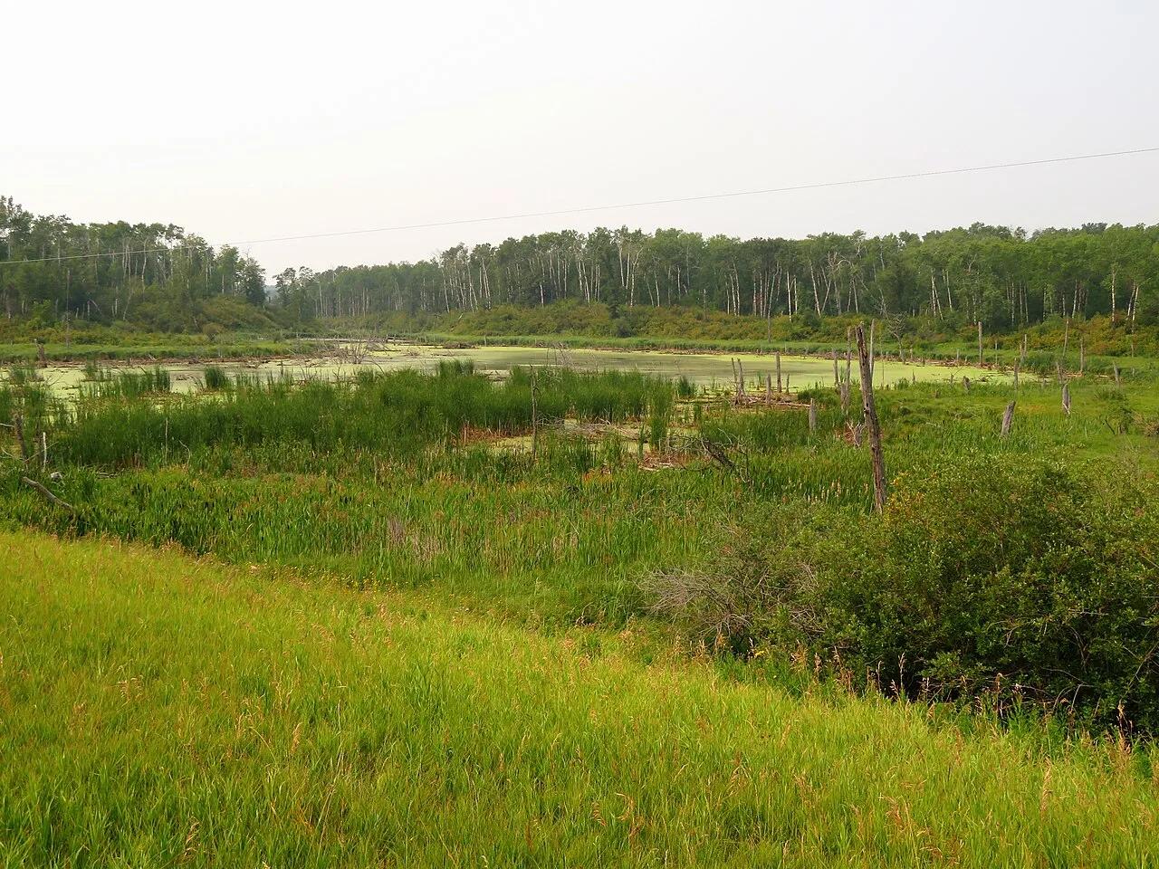
Wasatch Mountains (Park City / Deer Valley) · Rocky Mountains · Utah
Iconic 22-mile high-elevation singletrack traverse staying cleanly around 8,000 feet through golden aspen groves and historic silver-mining trestles.
Photo: Ken Lund · CC BY-SA 2.0
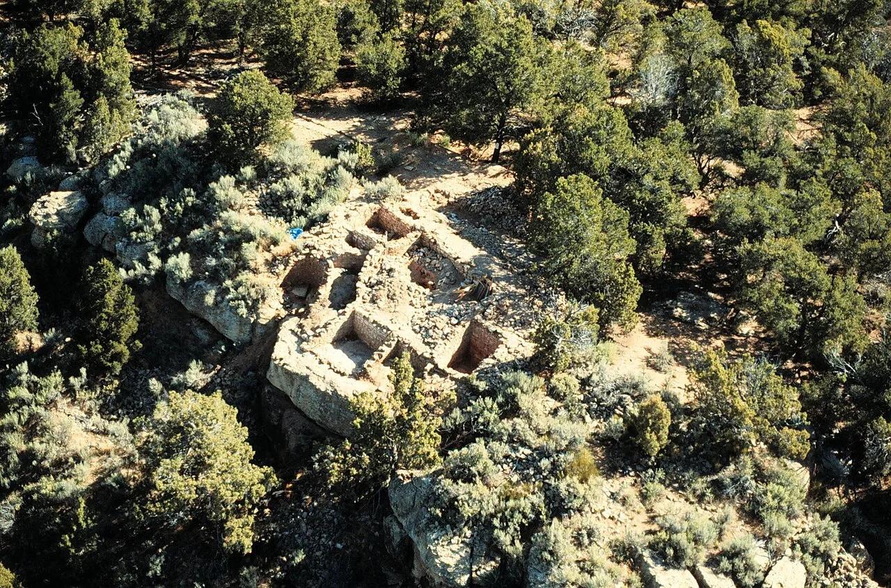
BLM Tres Rios Field Office (Cortez) · American Southwest · Colorado
29-mile desert sandstone and piñon-juniper mountain bike playground famous for the rollercoaster whoops of the Rib Cage canyon.
Photo: Unknown authorUnknown author or not provided · Public domain
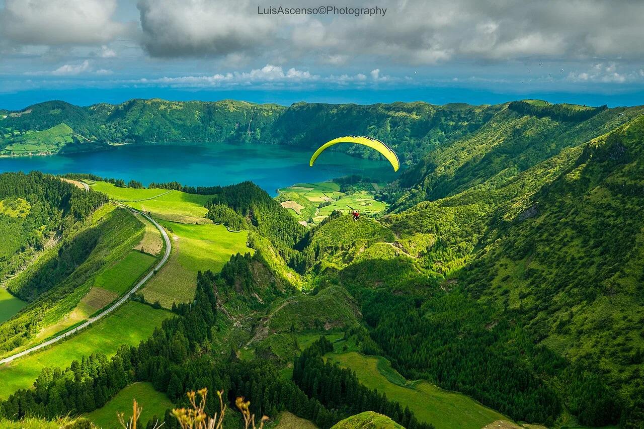
Parque Natural de São Miguel · Mediterranean Europe · Portugal
Hydrangea-lined volcanic caldera rim overlooking the connected emerald Lagoa Verde and sapphire Lagoa Azul in the middle of the Atlantic.
Photo: Luis Ascenso from Lisbon, Portugal · CC BY 2.0
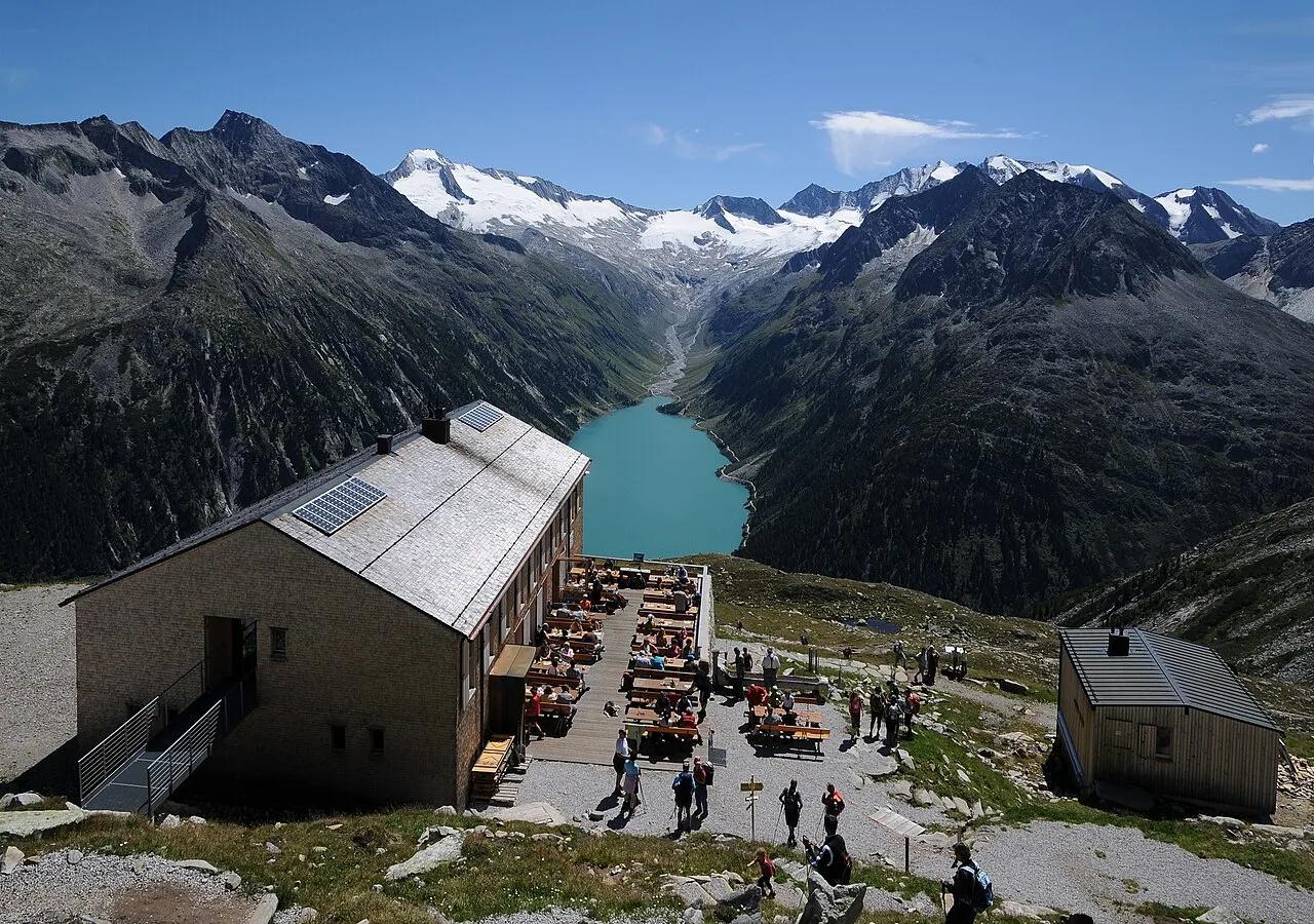
High Alps Nature Park Zillertal · European Alps · Austria
High-alpine suspension footbridge spanning a mountain stream at 2,389 meters with a dramatic vertical backdrop of turquoise Lake Schlegeis.
Photo: böhringer friedrich · CC BY-SA 2.5
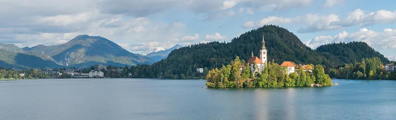
Julian Alps Biosphere Reserve (Bled) · Central Europe · Slovenia
Forest staircase to the 685-meter Mala Osojnica viewpoint overlooking Bled Island church and medieval clifftop castle against the Karawanks.
Photo: Krzysztof Golik · CC BY-SA 4.0
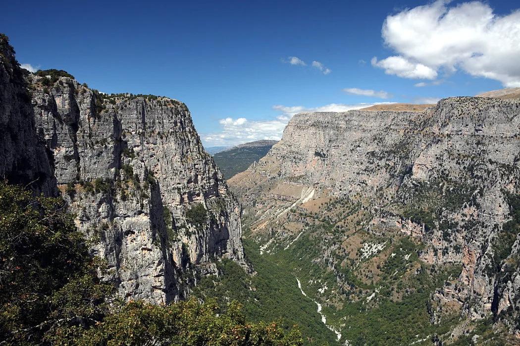
Vikos–Aoös National Park (Zagori UNESCO Site) · Mediterranean Europe · Greece
One of the deepest canyons on Earth relative to its width, carved 900 meters into Pindus limestone with Ottoman stone arch bridges and emerald Voidomatis springs.
Photo: Nikos A. Kanellopoulos · CC BY 3.0
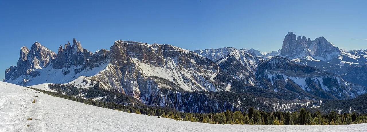
Puez-Odle Nature Park (Dolomites UNESCO) · European Alps · Italy
2,518-meter emerald alpine pasture tilted dramatically toward the jagged diagonal Dolomite blades of the Fermeda and Odle group.
Photo: This Photo was taken by Wolfgang Moroder. Feel free to use my photos, but ple... · CC BY-SA 3.0
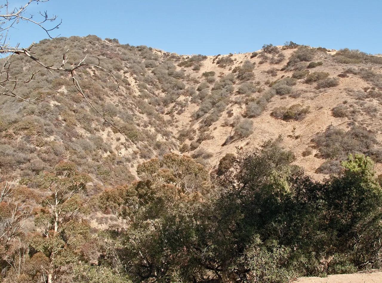
Runyon Canyon Park · Santa Monica Mountains
Park in Runyon Canyon Park (Santa Monica Mountains), about 7 miles northwest of downtown Los Angeles. Typical outing is 2.7 miles with 650 ft of climb. Popular with local hikers and Los Angeles hiking Meetup groups.
Photo: Downtowngal · CC BY-SA 3.0
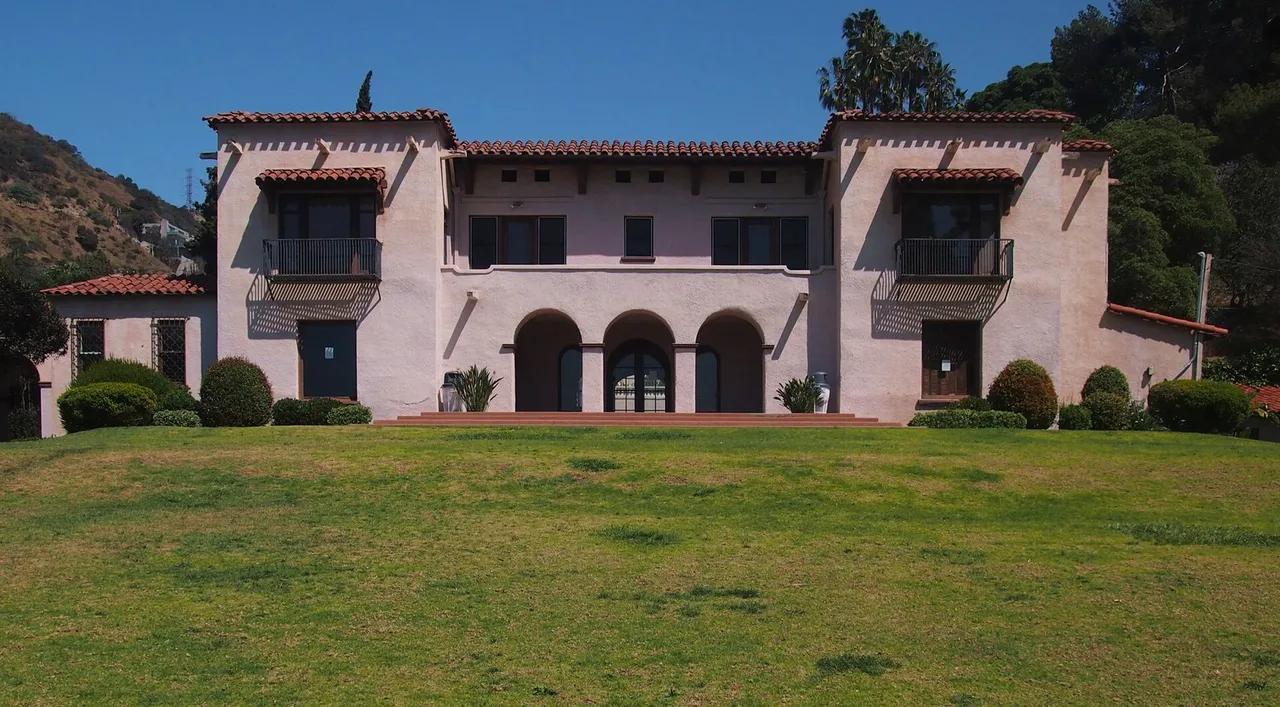
Wattles Mansion Park · Santa Monica Mountains
Park in Wattles Mansion Park (Santa Monica Mountains), about 7 miles northwest of downtown Los Angeles. Typical outing is 1.5 miles with 380 ft of climb. Popular with local hikers and Los Angeles hiking Meetup groups.
Photo: McGhiever · CC BY-SA 4.0

Griffith Park · Santa Monica Mountains
Park in Griffith Park (Santa Monica Mountains), about 7 miles northwest of downtown Los Angeles. Typical outing is 5.2 miles with 1,100 ft of climb. Popular with local hikers and Los Angeles hiking Meetup groups.
Photo: Downtowngal · CC BY-SA 4.0
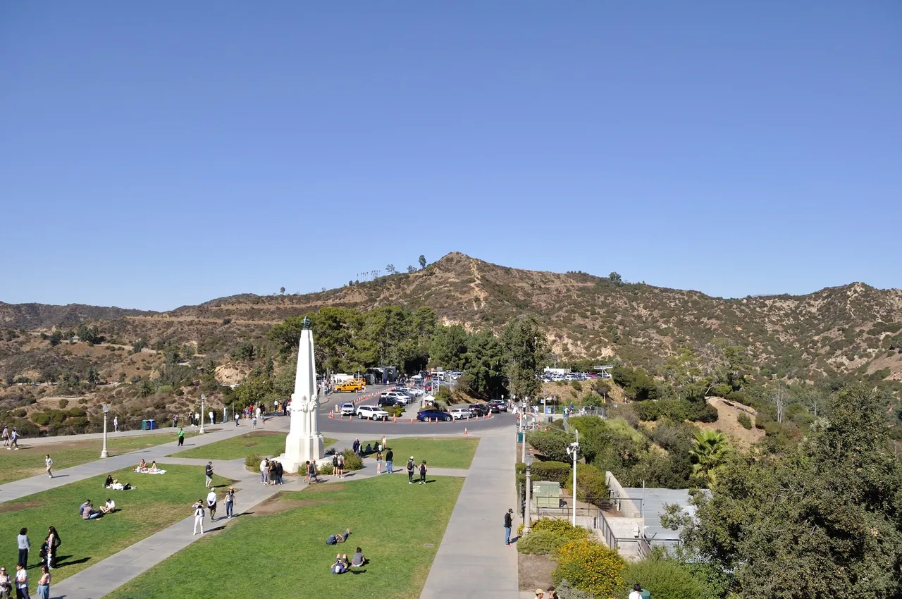
Griffith Park · Santa Monica Mountains
Hilltop in Griffith Park (Santa Monica Mountains), about 7 miles northwest of downtown Los Angeles. Typical outing is 5.0 miles with 1,050 ft of climb. Popular with local hikers and Los Angeles hiking Meetup groups.
Photo: The Fun Chronicles · Public domain
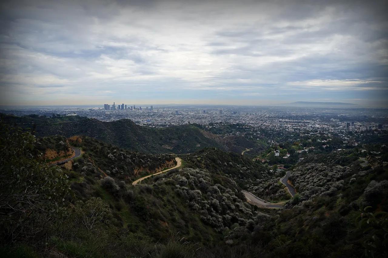
Griffith Park · Santa Monica Mountains
Hilltop in Griffith Park (Santa Monica Mountains), about 7 miles northwest of downtown Los Angeles. Typical outing is 6.0 miles with 1,120 ft of climb. Popular with local hikers and Los Angeles hiking Meetup groups.
Photo: James Gubera · CC BY 2.0