Peak
Inyo National Forest · Yosemite & Central Sierra
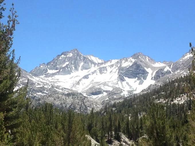
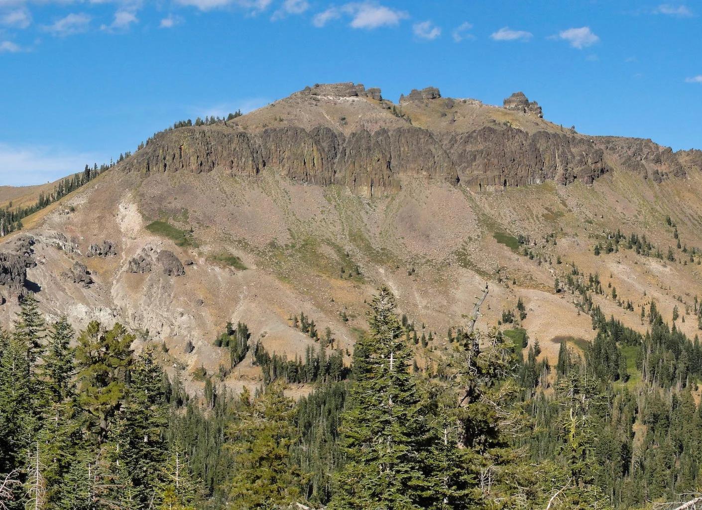
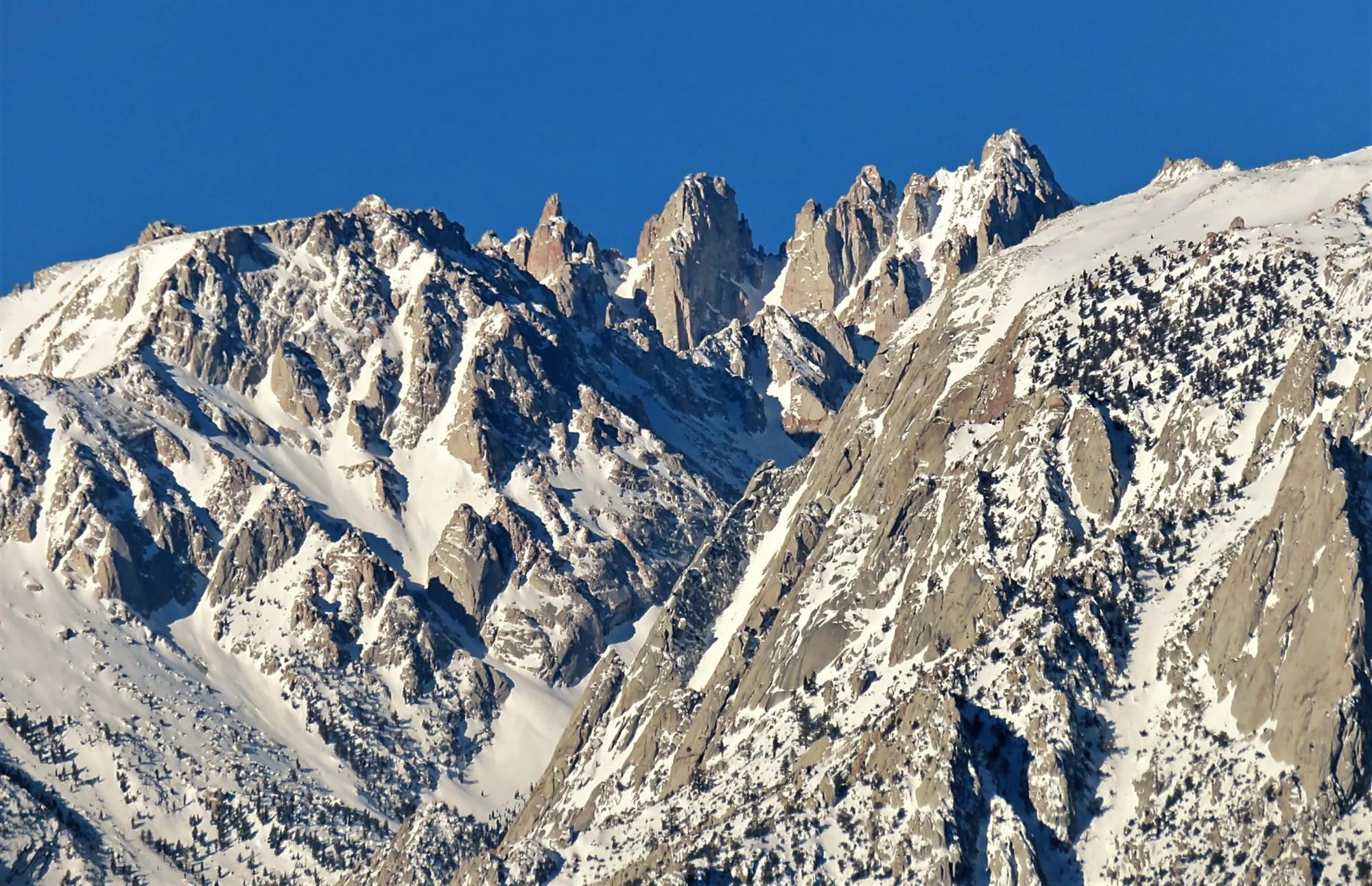
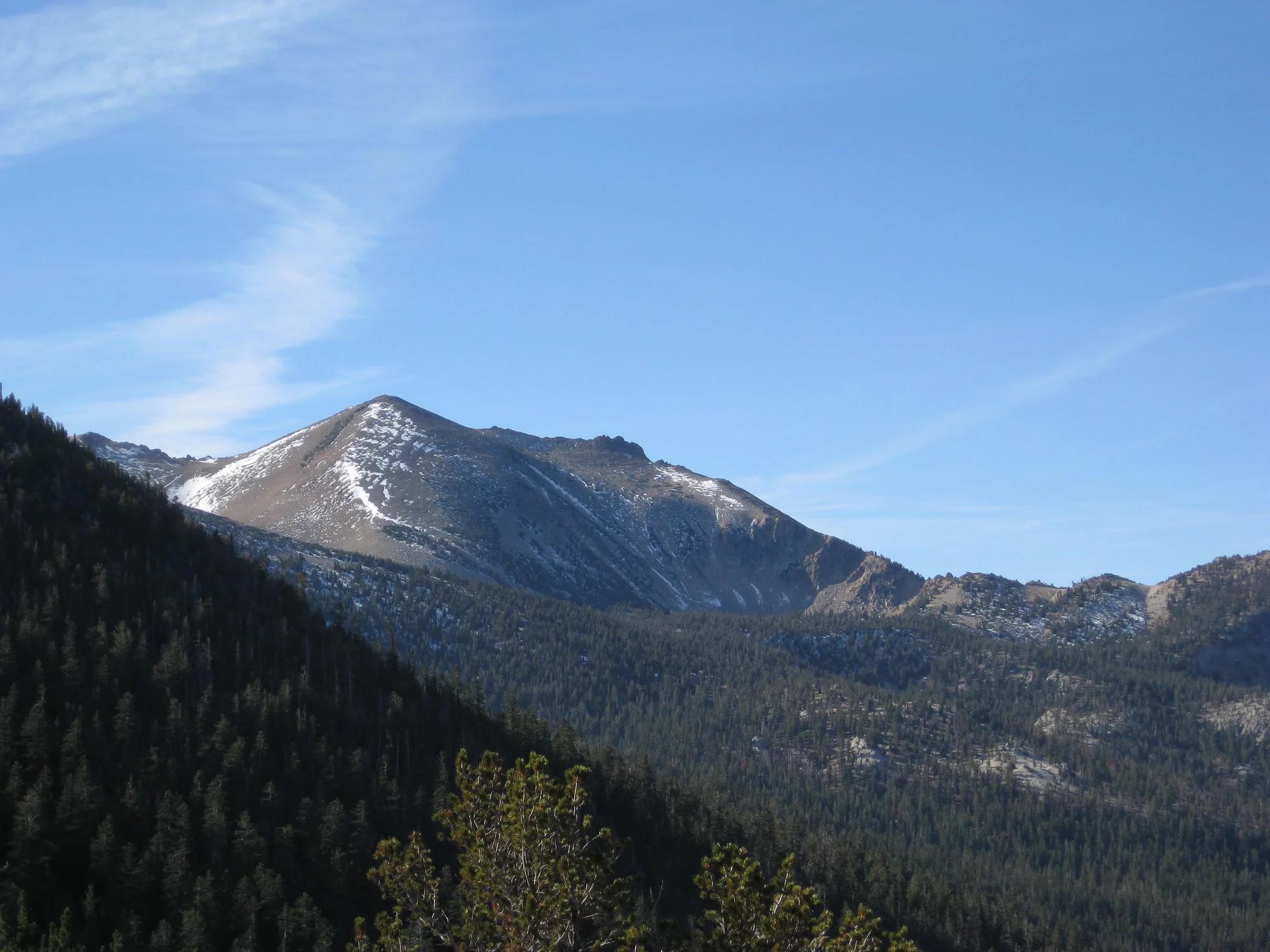
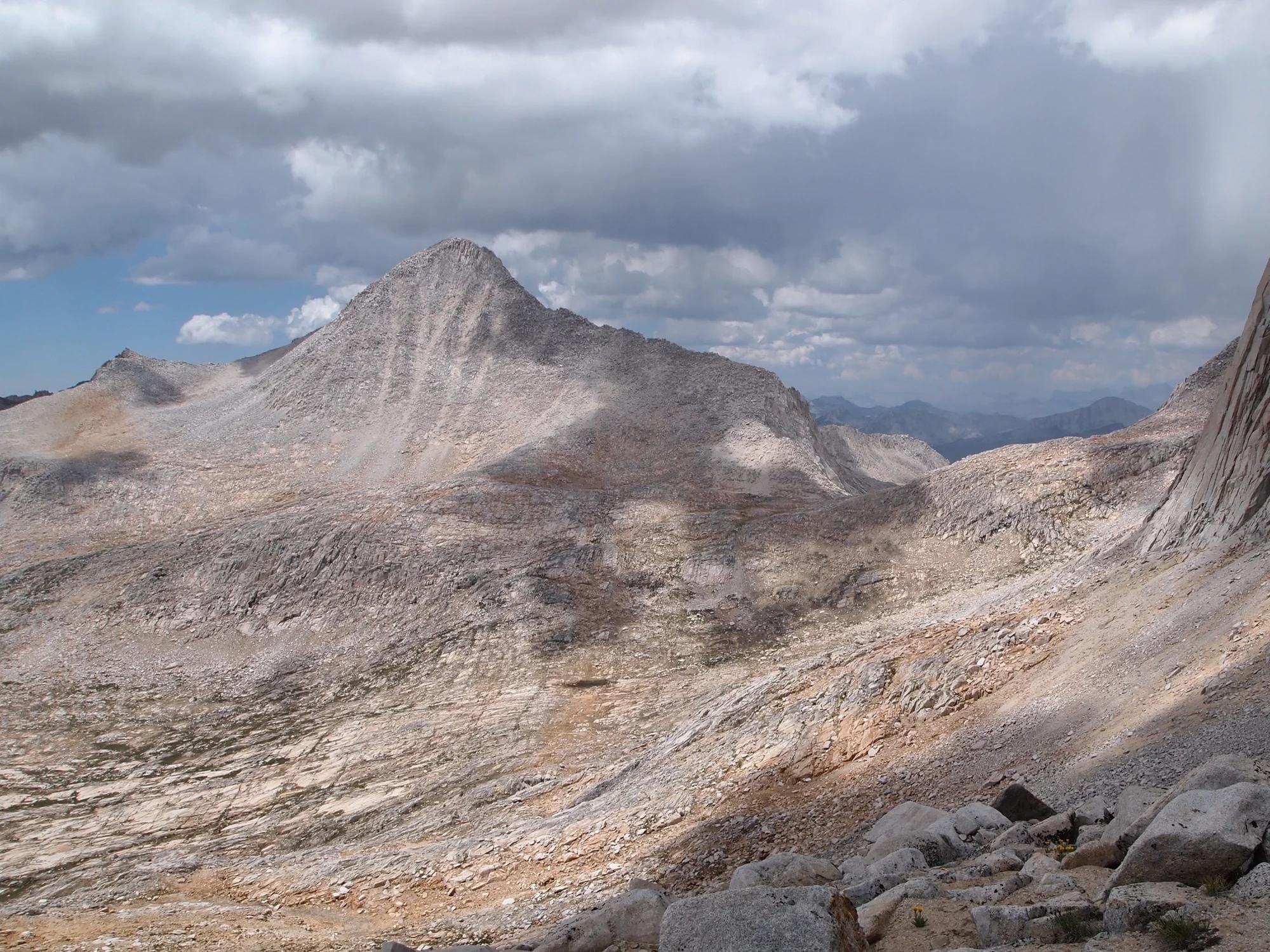
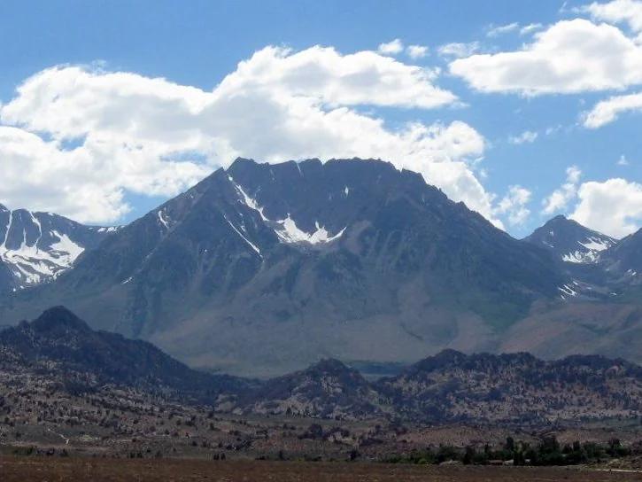
Basin Mountain
Verified California peak at 13,169 ft in Inyo National Forest (Yosemite & Central Sierra).
- Route
- 2.9 mi
- Climb
- 361 ft
Browse & Discover
Filter by activity, state, region, dog policy, or route effort — or use the interactive map below to find waterfalls, trails, beaches, bikeways, skateparks, and campgrounds near any location.
968 of 2,051 places
Drag to pan. Double-click, pinch or scroll to zoom. Keyboard: arrow keys and +/−. Cards below remain available.
Loading map… Browse the spot cards below at any time.

Eaton Canyon Natural Area
The waterfall at the head of lower Eaton Canyon, reached by a wide wash walk from the Eaton Canyon Nature Center and a final creekside scramble.
[scott.medling or en:user:scott.medling user:scott.medling from California, United States] · CC BY-SA 2.0. Source & image licence

Angeles National Forest
The ruined mountain resort of the Mount Lowe Railway, on a front-range promontory above Altadena at the top of the Lower Sam Merrill Trail.
Lennonrodgers at en.wikipedia · Public domain. Source & image licence

Escondido Canyon Park
A multi-tiered waterfall in Escondido Canyon above Malibu. The maintained trail ends at the base of the mossy lower tier.
Santa Monica Mountains National Recreation Area · Public domain. Source & image licence

Inyo National Forest
A chain of small alpine lakes at the head of Little Lakes Valley in the John Muir Wilderness, below the 13,000-foot peaks of the Bear Creek Spire cirque.
Jane S. Richardson (talk · contribs) · CC BY-SA 3.0. Source & image licence

Angeles National Forest
A high saddle and five-way trail junction on the Cucamonga Wilderness ridge, at the top of the steady climb up Icehouse Canyon.
Jason Hollinger · CC BY 2.0. Source & image licence

Mount Tamalpais Watershed
A winter-and-spring cascade on Cataract Creek just below the Laurel Dell picnic area, reached downhill along the Cataract Trail from Rock Spring.
Richard Wood · CC BY-SA 3.0. Source & image licence

Angeles National Forest
A waterfall of about fifty feet filling the head of a narrow, shaded canyon, a short walk upstream from Millard Campground.
Region 5 Photography · Public domain. Source & image licence

Mission Peak Regional Preserve
The bare grassland summit above Fremont, marked by the Mission Peeker sighting pole and climbed by the Hidden Valley Trail from Stanford Avenue.
Oleg Alexandrov · CC BY-SA 3.0. Source & image licence

Angeles National Forest
The highest summit of the San Gabriel Mountains, reached from Baldy Notch along the exposed Devils Backbone ridge.
Darkest tree · CC BY-SA 4.0. Source & image licence

Inyo National Forest
A quiet lake in the Ansel Adams Wilderness beneath Parker Peak, reached through sage and an aspen-lined creek canyon off the June Lake Loop.
Mark Gunn from Novato, California, USA · CC BY 2.0. Source & image licence

Santa Monica Mountains National Recreation Area
The highest point in the Santa Monica Mountains, climbed from the Mishe Mokwa trailhead along the Backbone Trail at Circle X Ranch.
Wasquewhat · CC BY-SA 4.0. Source & image licence

Angeles National Forest
A 50-foot single drop into a shallow plunge pool, 1.7 mi up Big Santa Anita Canyon. Shaded the entire way in. The work is all on the walk out.
U.S. Department of Agriculture / USDA USFS · CC BY 2.0. Source & image licence

Santa Monica Mountains National Recreation Area
The ruins of the Roberts family ranch house at the end of the canyon-floor trail in Solstice Canyon, beside a small seasonal waterfall.
George Heras / Santa Monica Mountains National Recreation Area · Public domain. Source & image licence
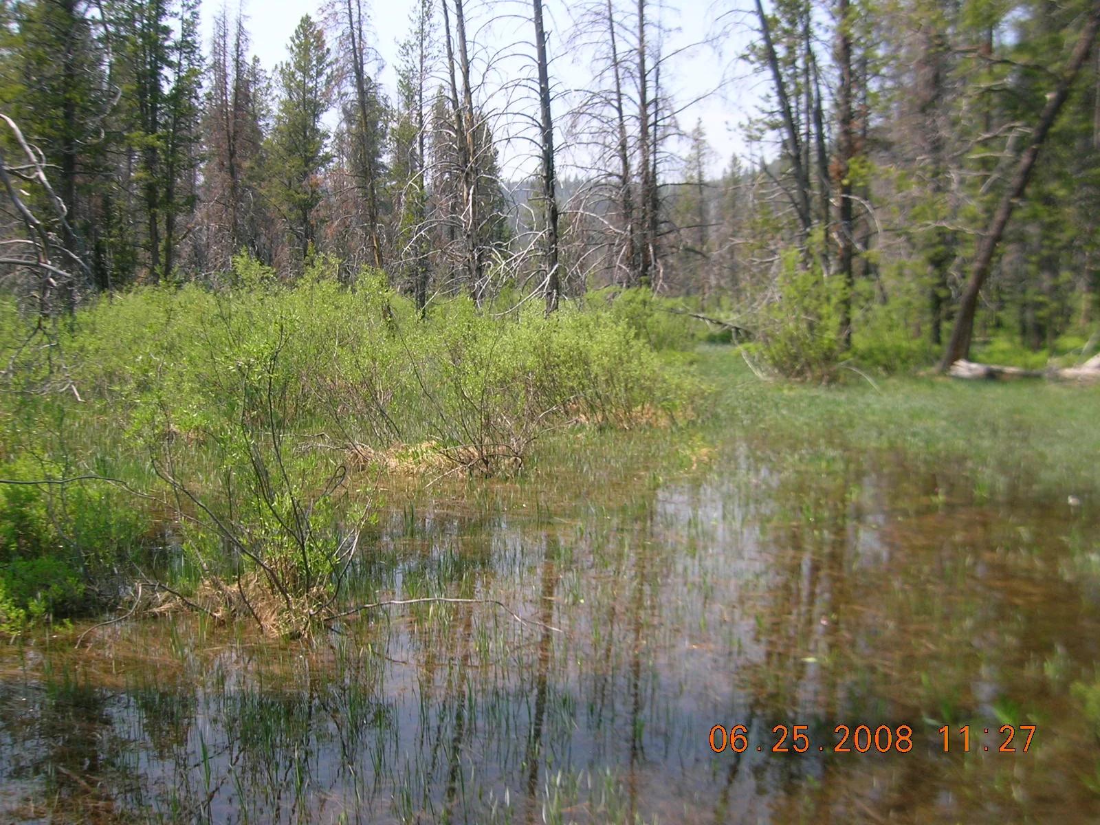
Sawtooth National Recreation Area · Yellowstone, Tetons & Northern Rockies · Idaho
A crystal-clear subalpine lake mirroring the jagged granite spires of McGown Peak, renowned for paddling and lakeside camping.
Photo: Fredlyfish4 at English Wikipedia · Public domain
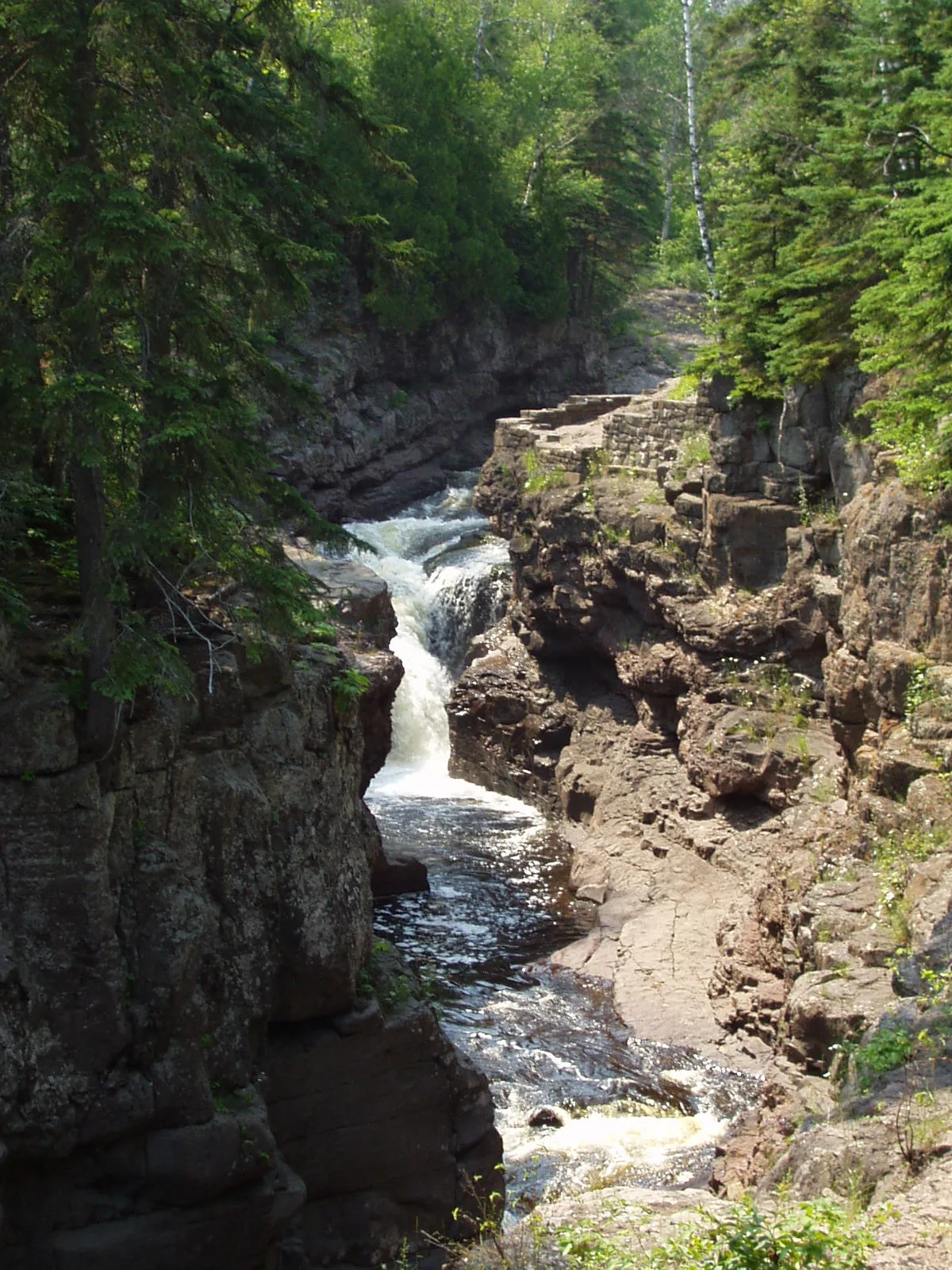
Temperance River State Park (North Shore) · Midwest & Great Lakes · Minnesota
Narrow basalt river gorge carved with boiling giant potholes dropping straight into Lake Superior without a sandbar.
Photo: Rufus Sarsaparilla at en.wikipedia · Public domain
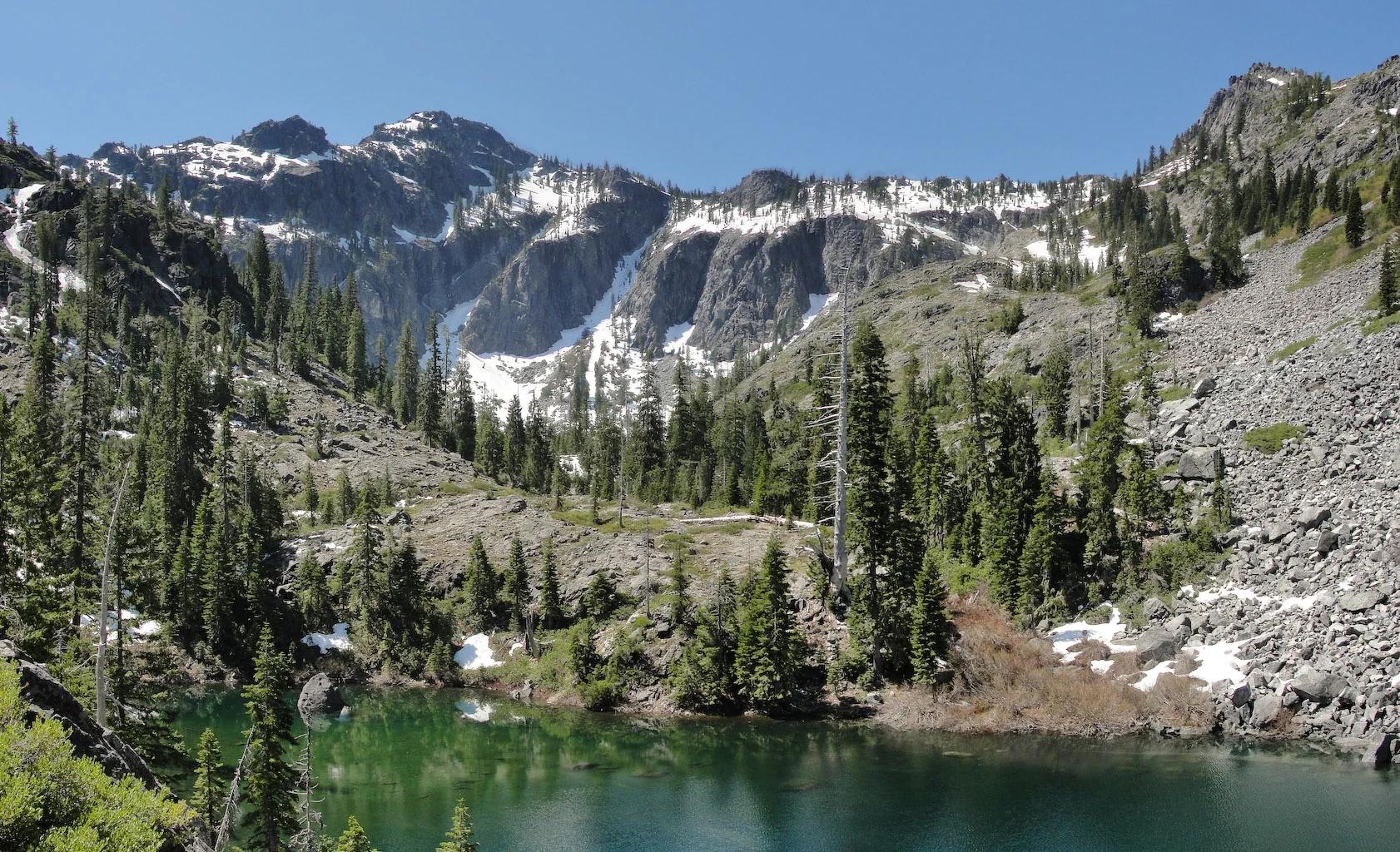
Six Rivers National Forest · Redwood & North Coast
Verified California peak at 6,407 ft in Six Rivers National Forest (Redwood & North Coast).
Photo: Miguel Vieira from Walnut Creek, CA, USA · CC BY 2.0
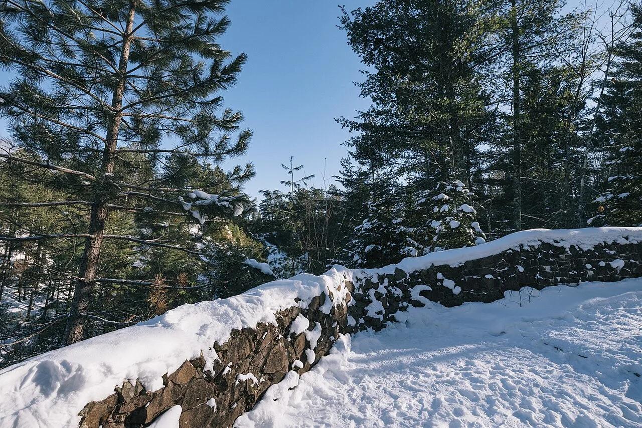
Pattison State Park · Lake Superior South Shore · Wisconsin
The highest waterfall in Wisconsin at 165 feet, plunging over dark basalt lava cliffs into a steep red-sandstone canyon along the Black River.
Photo: Tony Webster from Minneapolis, Minnesota, United States · CC BY-SA 2.0
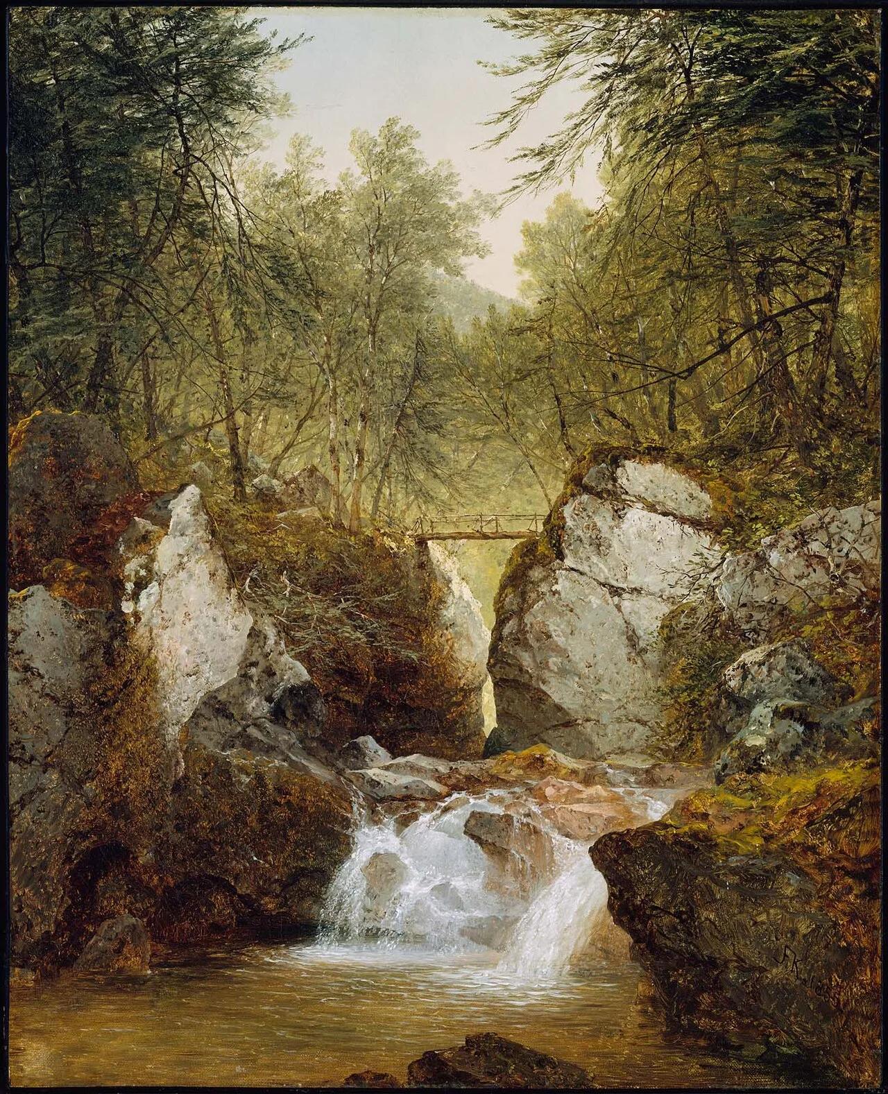
Bash Bish Falls State Park (Taconic Mountains) · Northeast & New England · Massachusetts
80-foot split-boulder twin waterfall crashing into an emerald mountain pool on the Massachusetts/New York border.
Photo: John Frederick Kensett · Public domain
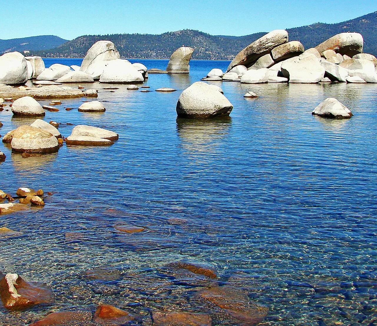
Lake Tahoe Nevada State Park (Incline Village to Sand Harbor) · Great Basin & Nevada · Nevada
3-mile paved over-water bikeway cantilevering above Lake Tahoe's turquoise granite boulder coves between Incline Village and Sand Harbor.
Photo: Don Graham from Redlands, CA, USA - God bless it! · CC BY-SA 2.0
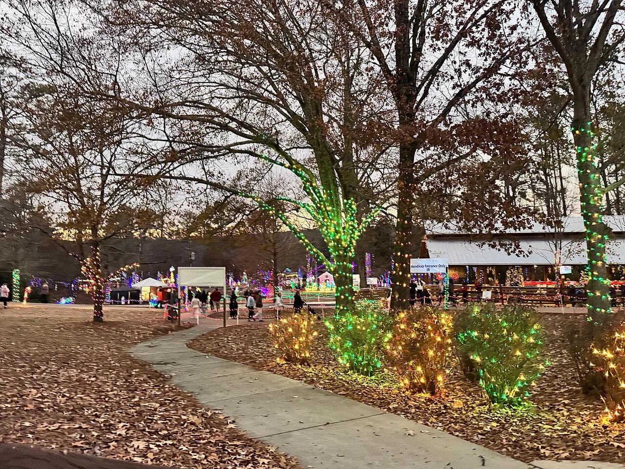
Noccalula Falls Park (Gadsden / Lookout Mountain) · Appalachian & Blue Ridge · Alabama
90-foot waterfall plunging over a curved Lookout Mountain sandstone ledge with a recessed cavern walk directly behind the falling water.
Photo: Harrison Keely · CC BY 4.0
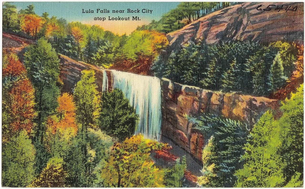
Lula Lake Land Trust (Lookout Mountain) · Appalachian & Blue Ridge · Georgia
Crystal emerald plunge basin and 120-foot Rock Creek waterfall preserved on the eastern rim of Lookout Mountain.
Photo: "Tichnor Quality Views," Reg. U. S. Pat. Off. Made Only by Tichnor Bros., Inc... · Public domain
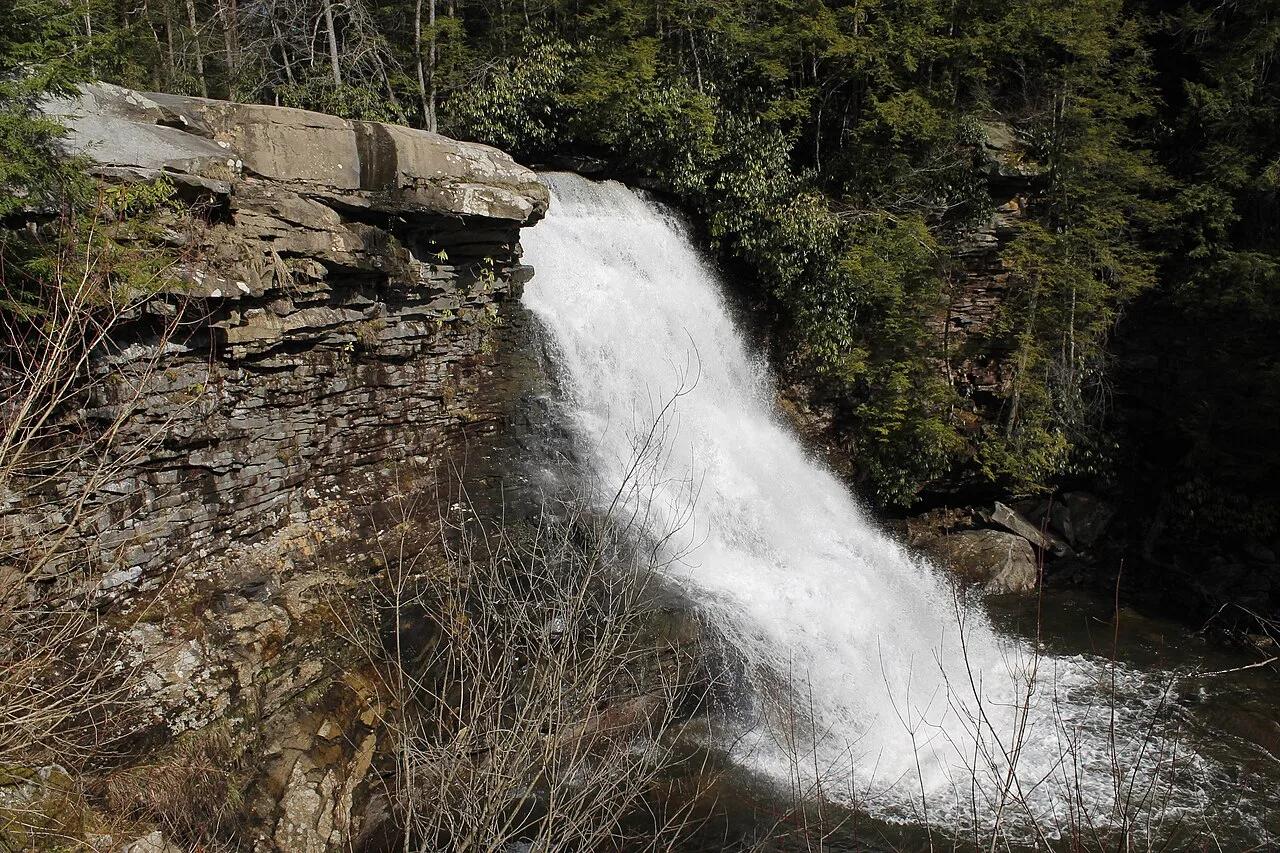
Swallow Falls State Park · Garrett County / Allegheny Plateau · Maryland
Maryland's highest free-falling waterfall plunges 53 feet into the Youghiogheny River surrounded by 300-year-old virgin hemlocks.
Photo: Bohemian Baltimore · CC BY-SA 4.0
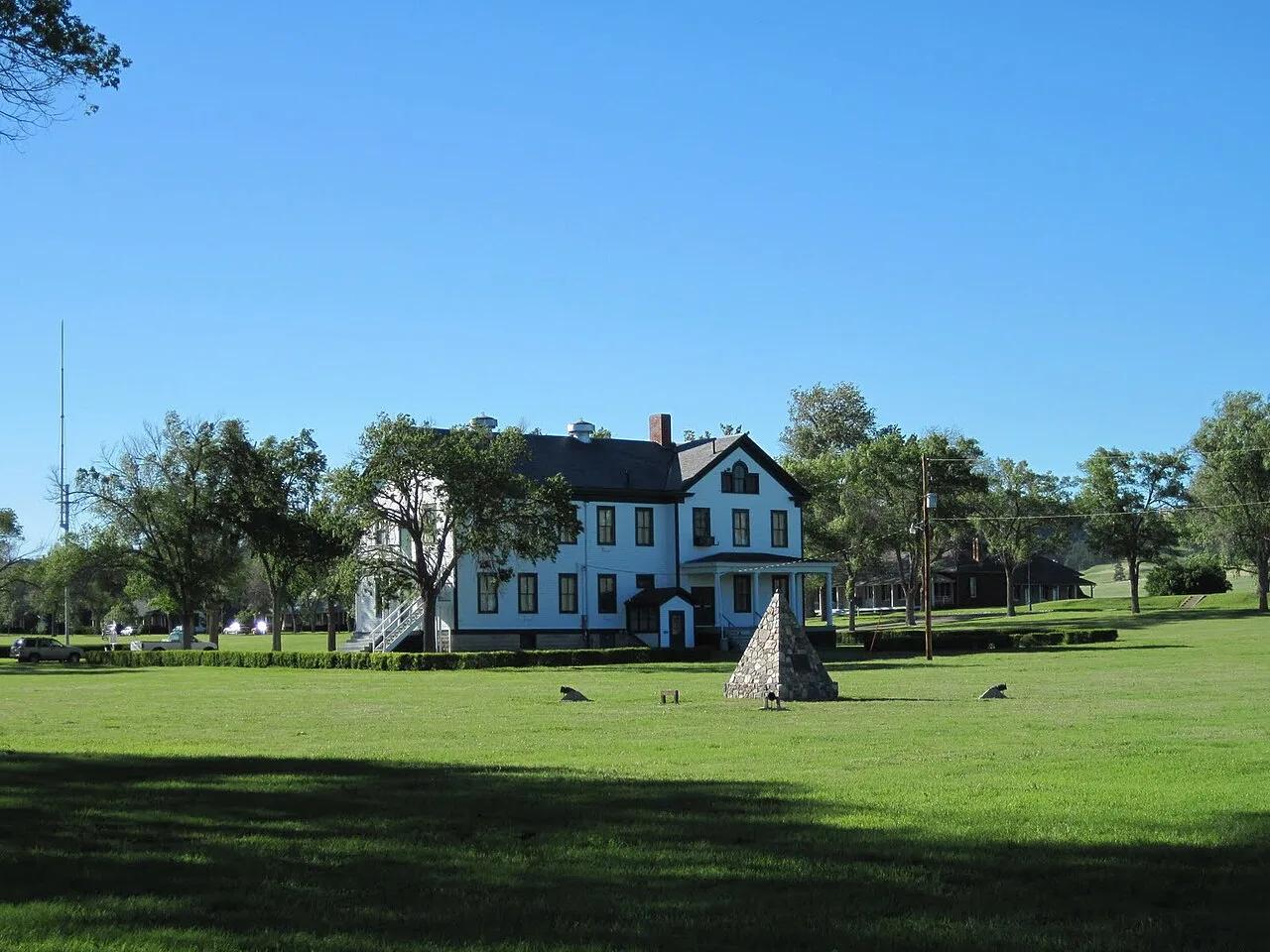
Fort Robinson State Park (Crawford) · Pine Ridge · Nebraska
Dramatic 500-foot cream-colored Arikaree sandstone buttes soaring above the high plains where Crazy Horse surrendered, threaded by scenic trails.
Photo: SkybirdForever · CC BY-SA 3.0
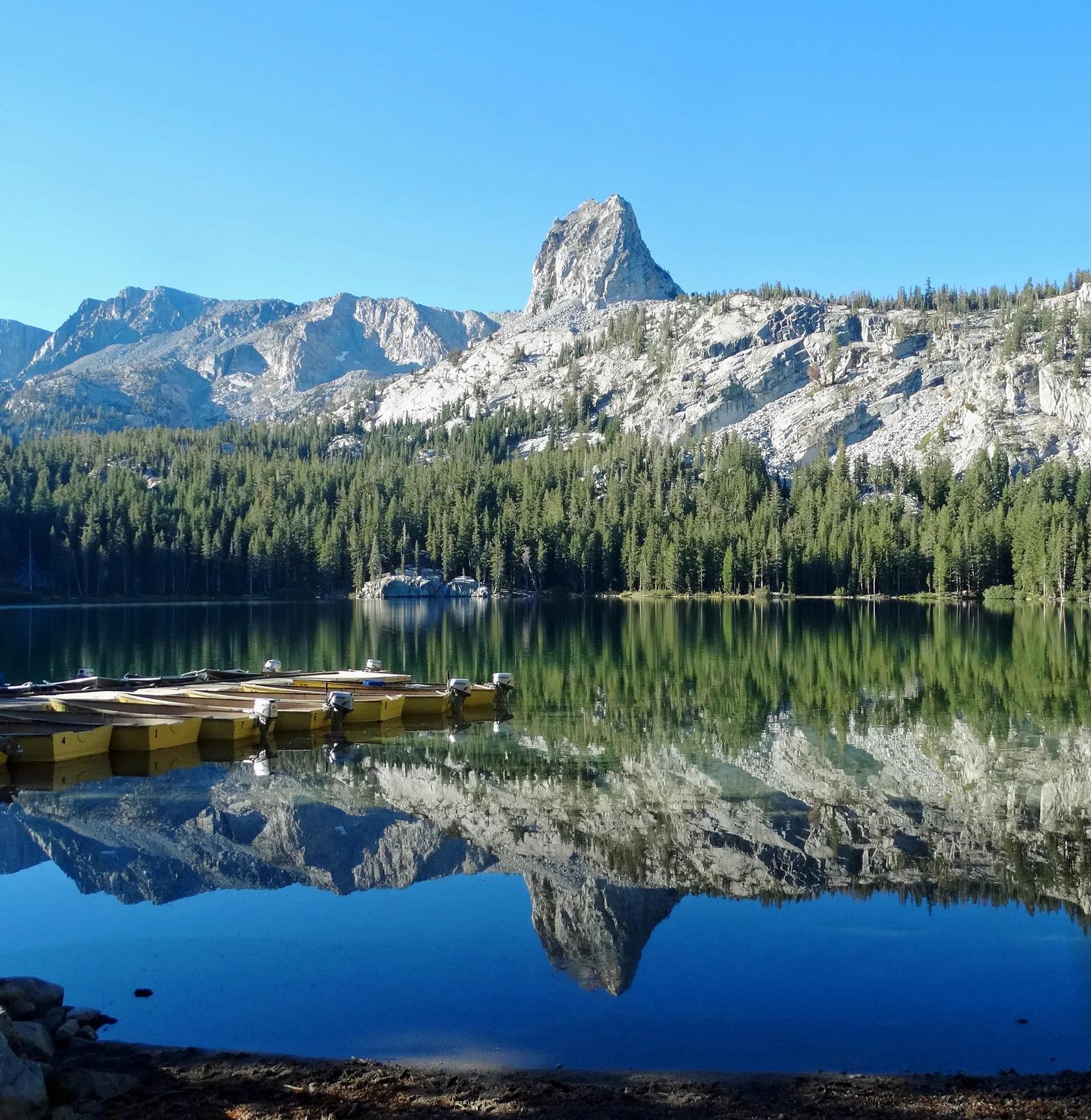
Inyo National Forest · Yosemite & Central Sierra
Verified California peak at 10,305 ft in Inyo National Forest (Yosemite & Central Sierra).
Photo: Don Graham from Redlands, CA, USA - God bless it! · CC BY-SA 2.0
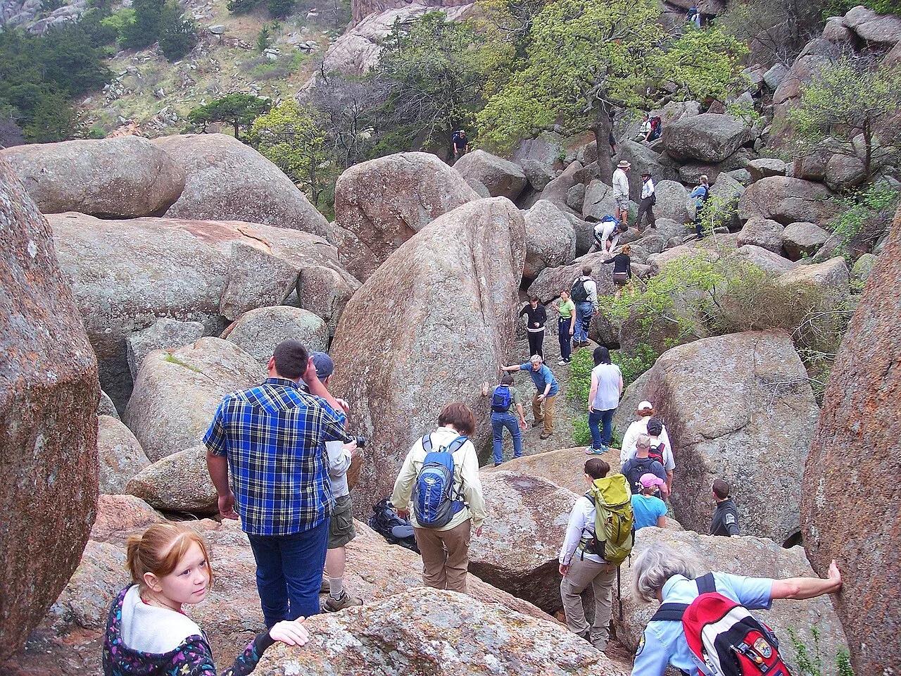
Wichita Mountains Wildlife Refuge (Charon's Garden) · Wichita Mountains · Oklahoma
Bizarre twin granite boulders perched like crab eyes atop a towering rock needle in the wild backcountry of the Charon's Garden Wilderness.
Photo: Photo David Smith U.S. Fish and Wildlife Service Headquarters · Public domain
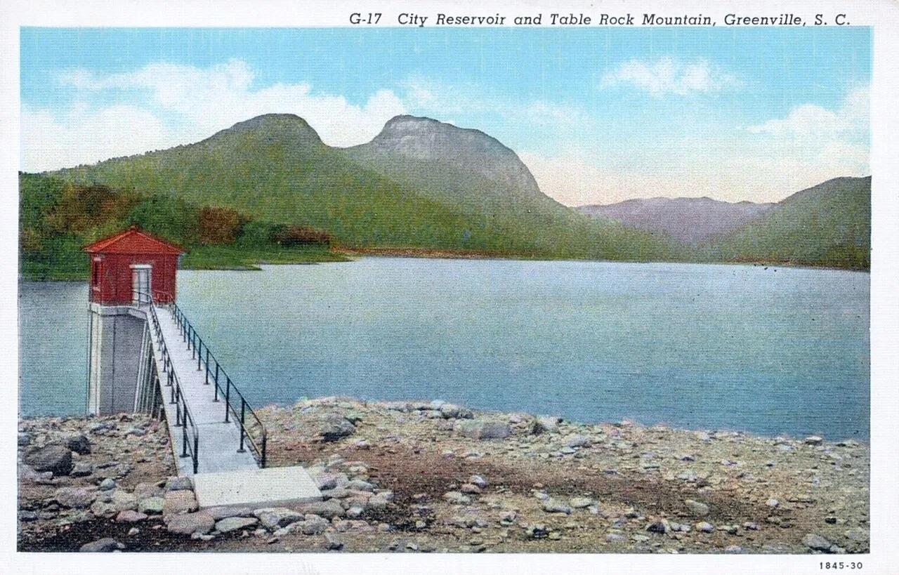
Caesars Head State Park (Mountain Bridge Wilderness) · Appalachian & Blue Ridge · South Carolina
Granite gneiss headland overlooking the Piedmont at 3,266 feet, linked to a cable suspension bridge directly above 420-foot Raven Cliff Falls.
Photo: Asheville Post Card Co. · Public domain
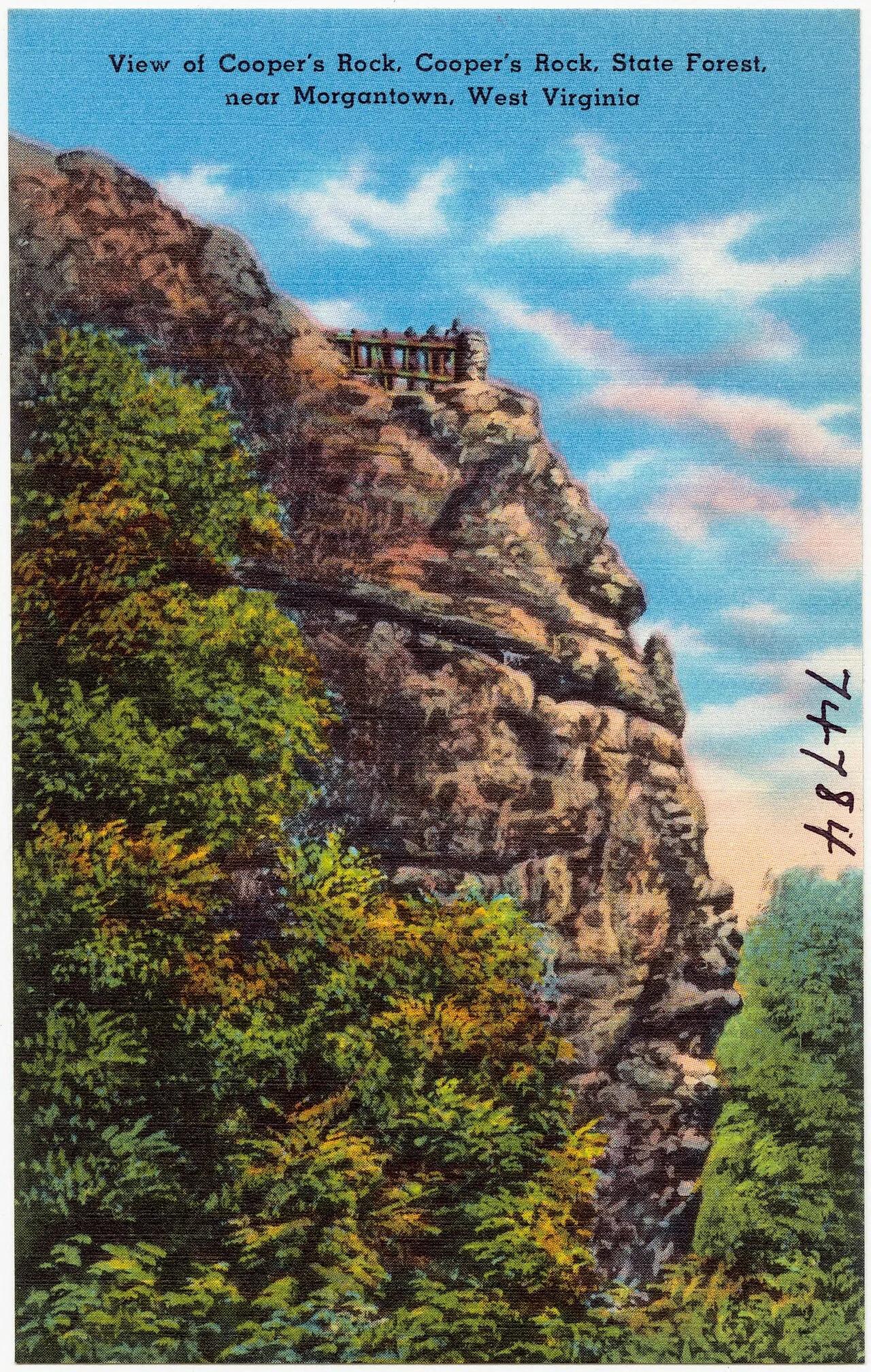
Coopers Rock State Forest · Appalachian & Blue Ridge · West Virginia
Cantilevered Pottsville sandstone cliff overlook perched 1,200 feet above the forested Cheat River Gorge.
Photo: Pub. by Photo Crafters Inc., Morgantown, W. VA. "Tichnor Quality Views," Reg.... · Public domain
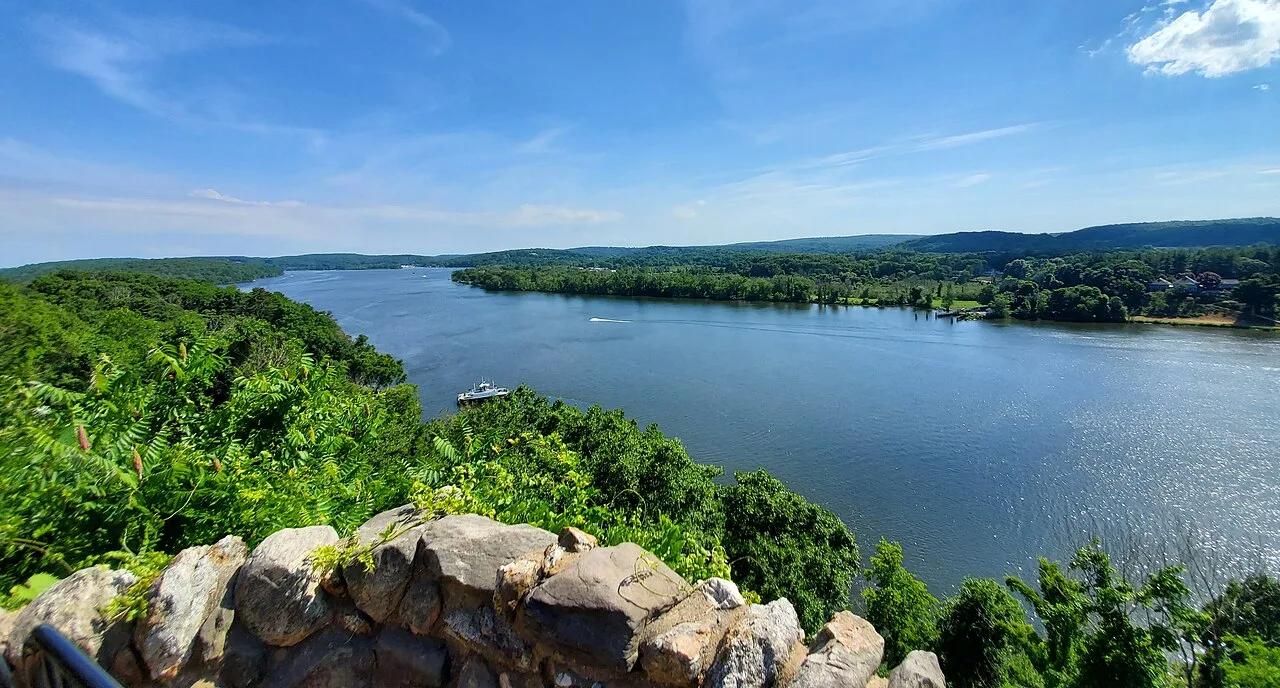
Gillette Castle State Park · Lower Connecticut River Valley · Connecticut
A medieval-style fieldstone castle built atop the Seventh Sister hill commanding panoramic vistas of the tidal Connecticut River.
Photo: It'sOnlyMakeBelieve · CC BY-SA 4.0
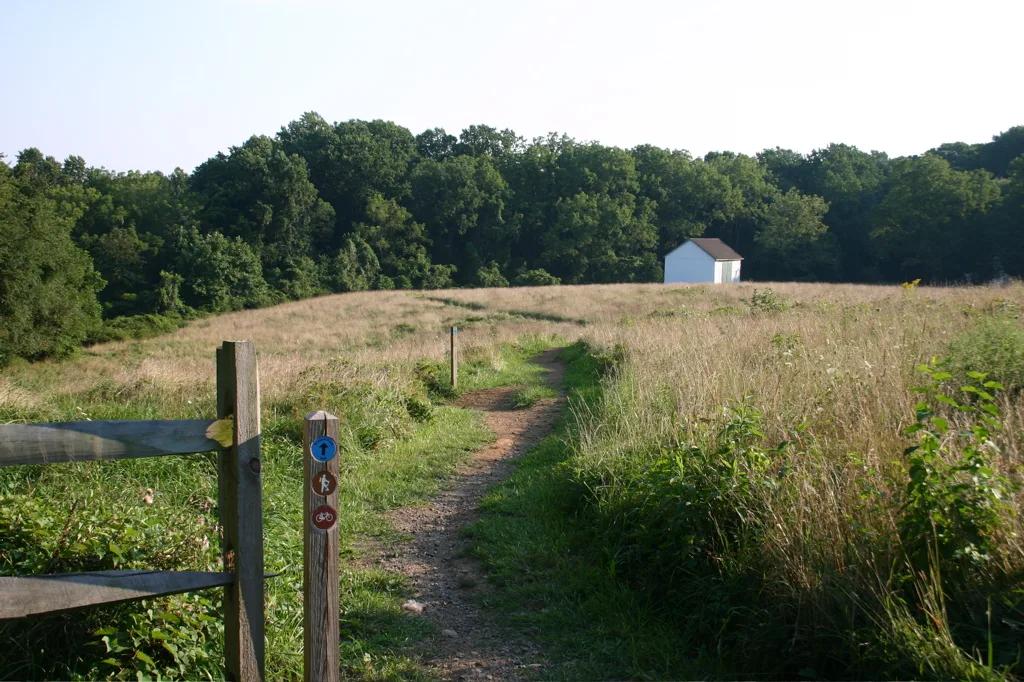
White Clay Creek State Park · Piedmont / New Castle County · Delaware
Piedmont stream valleys and hemlock ravines leading to the historic 1892 stone monument marking the DE-PA-MD boundary point.
Photo: Pixelguru at English Wikipedia · Public domain
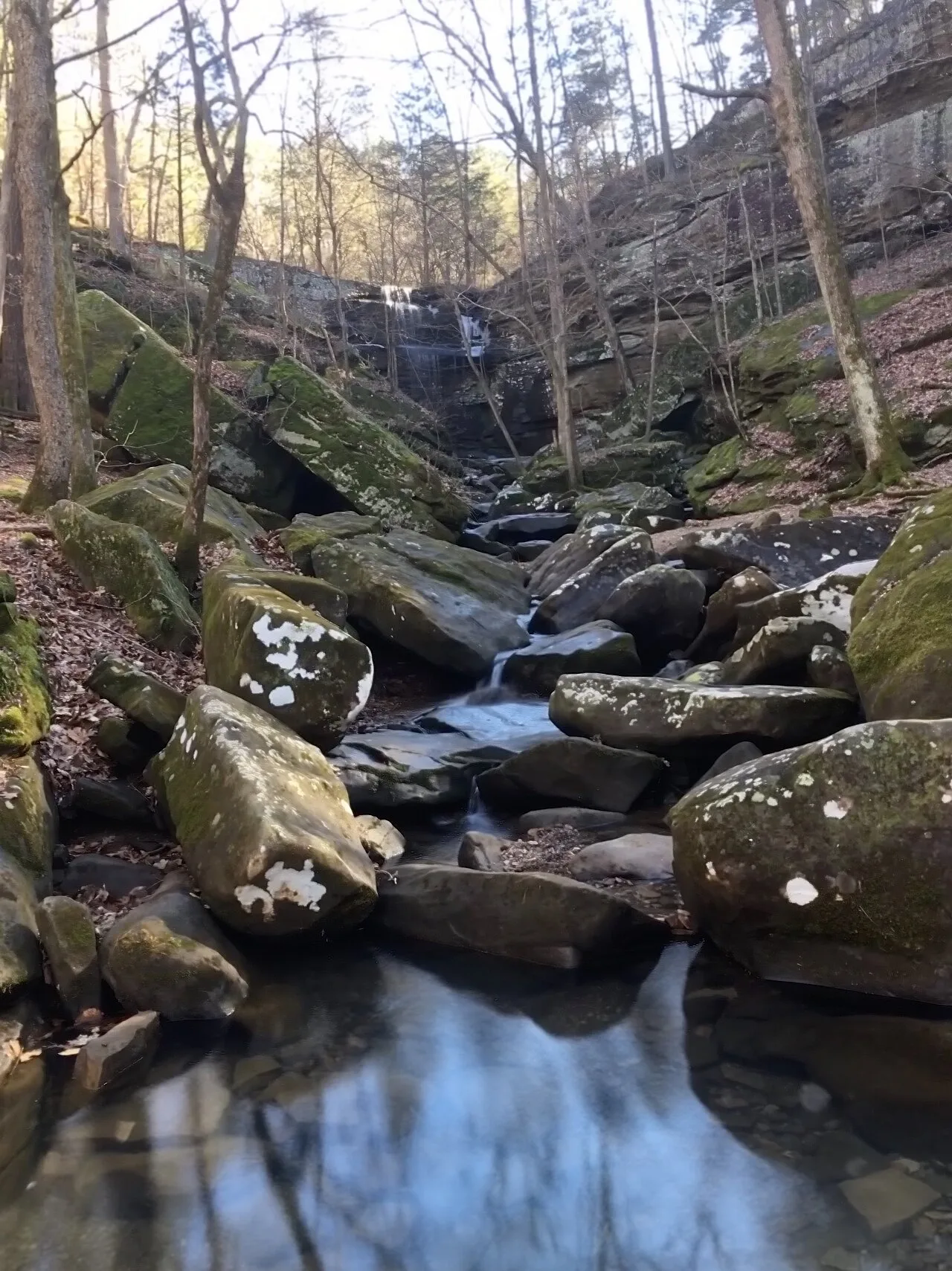
Shawnee National Forest (Burden Falls Wilderness) · Southern Illinois / Shawnee · Illinois
Illinois's largest waterfall complex, dropping over a series of sandstone ledges including an upper 20-foot drop and a thunderous 80-foot gorge plunge.
Photo: Mrostrichman · CC BY-SA 4.0

Backbone State Park (Dundee) · Northeast Iowa · Iowa
Iowa's oldest state park (1919), centering on a dramatic narrow bedrock ridge of Silurian dolomite flanked on three sides by the Maquoketa River loop.
Photo: Kevin Schuchmann · CC BY-SA 3.0