Summit
Mission Trails Regional Park · Southern California
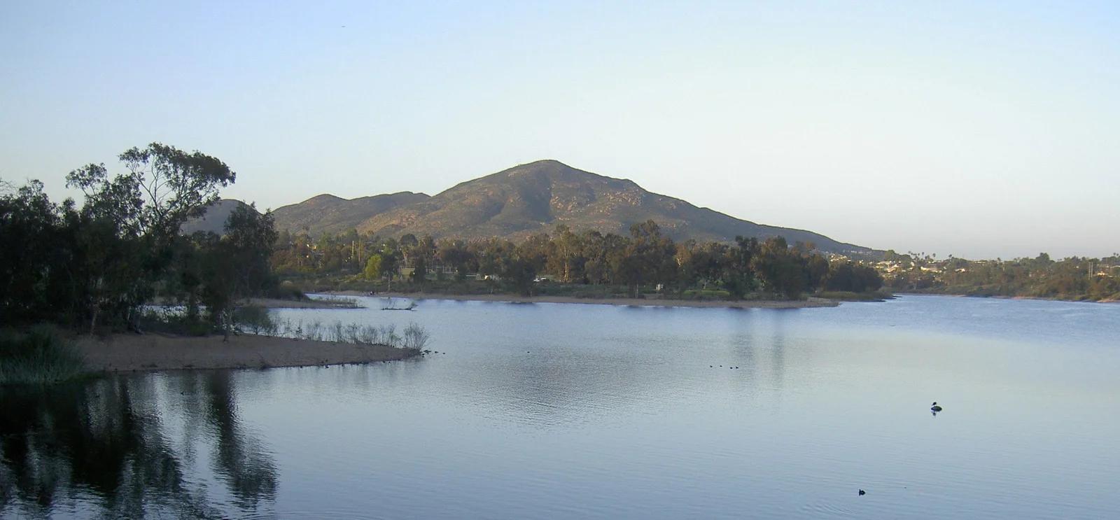
Cowles Mountain
The highest point within the City of San Diego at 1,592 feet, offering 360-degree views from Mexico to the Pacific Ocean.
- Route
- 3 mi
- Climb
- 951 ft
Browse & Discover
Filter by activity, state, region, dog policy, or route effort — or use the interactive map below to find waterfalls, trails, beaches, bikeways, skateparks, and campgrounds near any location.
365 of 2,051 places
Drag to pan. Double-click, pinch or scroll to zoom. Keyboard: arrow keys and +/−. Cards below remain available.
Loading map… Browse the spot cards below at any time.

Eaton Canyon Natural Area
The waterfall at the head of lower Eaton Canyon, reached by a wide wash walk from the Eaton Canyon Nature Center and a final creekside scramble.
[scott.medling or en:user:scott.medling user:scott.medling from California, United States] · CC BY-SA 2.0. Source & image licence

Angeles National Forest
The ruined mountain resort of the Mount Lowe Railway, on a front-range promontory above Altadena at the top of the Lower Sam Merrill Trail.
Lennonrodgers at en.wikipedia · Public domain. Source & image licence

Escondido Canyon Park
A multi-tiered waterfall in Escondido Canyon above Malibu. The maintained trail ends at the base of the mossy lower tier.
Santa Monica Mountains National Recreation Area · Public domain. Source & image licence

Inyo National Forest
A chain of small alpine lakes at the head of Little Lakes Valley in the John Muir Wilderness, below the 13,000-foot peaks of the Bear Creek Spire cirque.
Jane S. Richardson (talk · contribs) · CC BY-SA 3.0. Source & image licence

Angeles National Forest
A high saddle and five-way trail junction on the Cucamonga Wilderness ridge, at the top of the steady climb up Icehouse Canyon.
Jason Hollinger · CC BY 2.0. Source & image licence

Mount Tamalpais Watershed
A winter-and-spring cascade on Cataract Creek just below the Laurel Dell picnic area, reached downhill along the Cataract Trail from Rock Spring.
Richard Wood · CC BY-SA 3.0. Source & image licence

Angeles National Forest
A waterfall of about fifty feet filling the head of a narrow, shaded canyon, a short walk upstream from Millard Campground.
Region 5 Photography · Public domain. Source & image licence

Mission Peak Regional Preserve
The bare grassland summit above Fremont, marked by the Mission Peeker sighting pole and climbed by the Hidden Valley Trail from Stanford Avenue.
Oleg Alexandrov · CC BY-SA 3.0. Source & image licence

Angeles National Forest
The highest summit of the San Gabriel Mountains, reached from Baldy Notch along the exposed Devils Backbone ridge.
Darkest tree · CC BY-SA 4.0. Source & image licence

Inyo National Forest
A quiet lake in the Ansel Adams Wilderness beneath Parker Peak, reached through sage and an aspen-lined creek canyon off the June Lake Loop.
Mark Gunn from Novato, California, USA · CC BY 2.0. Source & image licence

Santa Monica Mountains National Recreation Area
The highest point in the Santa Monica Mountains, climbed from the Mishe Mokwa trailhead along the Backbone Trail at Circle X Ranch.
Wasquewhat · CC BY-SA 4.0. Source & image licence

Angeles National Forest
A 50-foot single drop into a shallow plunge pool, 1.7 mi up Big Santa Anita Canyon. Shaded the entire way in. The work is all on the walk out.
U.S. Department of Agriculture / USDA USFS · CC BY 2.0. Source & image licence

Santa Monica Mountains National Recreation Area
The ruins of the Roberts family ranch house at the end of the canyon-floor trail in Solstice Canyon, beside a small seasonal waterfall.
George Heras / Santa Monica Mountains National Recreation Area · Public domain. Source & image licence
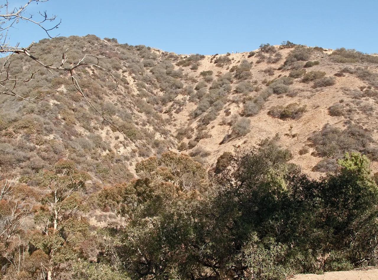
Runyon Canyon Park · Santa Monica Mountains
Park in Runyon Canyon Park (Santa Monica Mountains), about 7 miles northwest of downtown Los Angeles. Typical outing is 2.7 miles with 650 ft of climb. Popular with local hikers and Los Angeles hiking Meetup groups.
Photo: Downtowngal · CC BY-SA 3.0
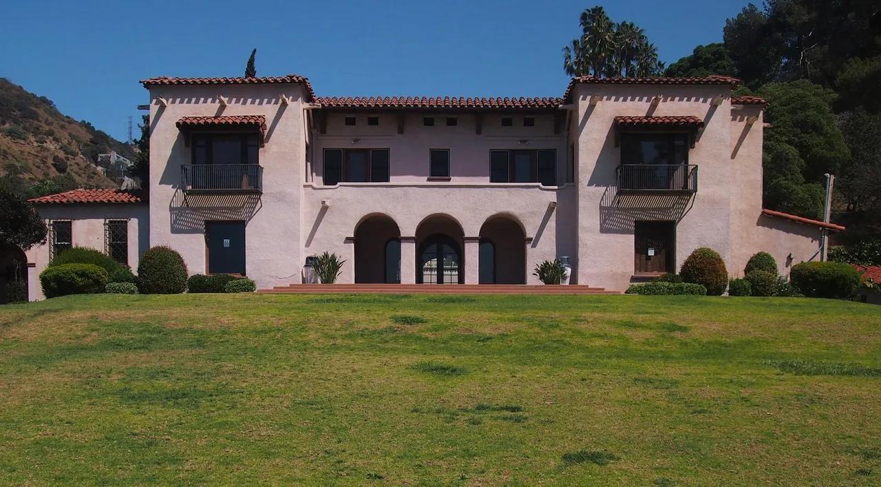
Wattles Mansion Park · Santa Monica Mountains
Park in Wattles Mansion Park (Santa Monica Mountains), about 7 miles northwest of downtown Los Angeles. Typical outing is 1.5 miles with 380 ft of climb. Popular with local hikers and Los Angeles hiking Meetup groups.
Photo: McGhiever · CC BY-SA 4.0

Griffith Park · Santa Monica Mountains
Park in Griffith Park (Santa Monica Mountains), about 7 miles northwest of downtown Los Angeles. Typical outing is 5.2 miles with 1,100 ft of climb. Popular with local hikers and Los Angeles hiking Meetup groups.
Photo: Downtowngal · CC BY-SA 4.0
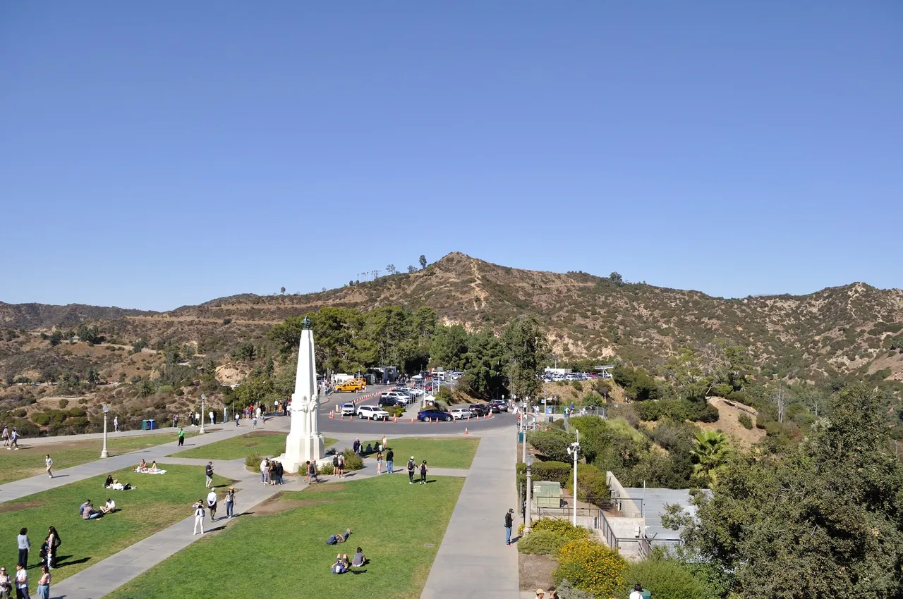
Griffith Park · Santa Monica Mountains
Hilltop in Griffith Park (Santa Monica Mountains), about 7 miles northwest of downtown Los Angeles. Typical outing is 5.0 miles with 1,050 ft of climb. Popular with local hikers and Los Angeles hiking Meetup groups.
Photo: The Fun Chronicles · Public domain
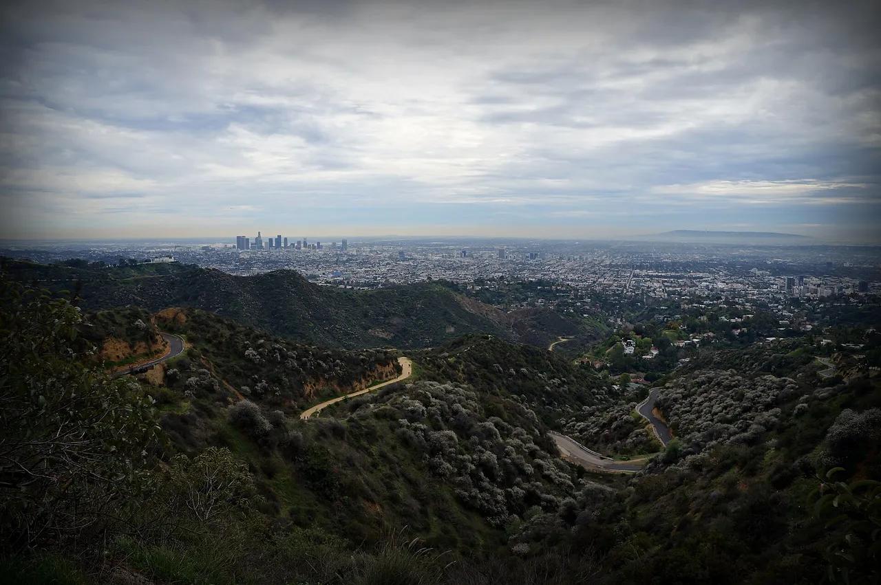
Griffith Park · Santa Monica Mountains
Hilltop in Griffith Park (Santa Monica Mountains), about 7 miles northwest of downtown Los Angeles. Typical outing is 6.0 miles with 1,120 ft of climb. Popular with local hikers and Los Angeles hiking Meetup groups.
Photo: James Gubera · CC BY 2.0
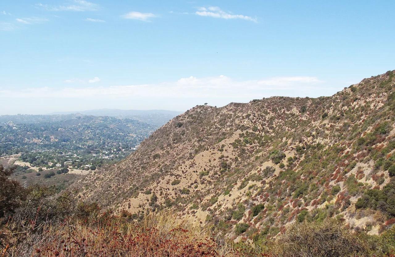
Griffith Park · Santa Monica Mountains
Hilltop in Griffith Park (Santa Monica Mountains), about 8 miles northwest of downtown Los Angeles. Typical outing is 3.0 miles with 870 ft of climb. Popular with local hikers and Los Angeles hiking Meetup groups.
Photo: Downtowngal · CC BY-SA 3.0
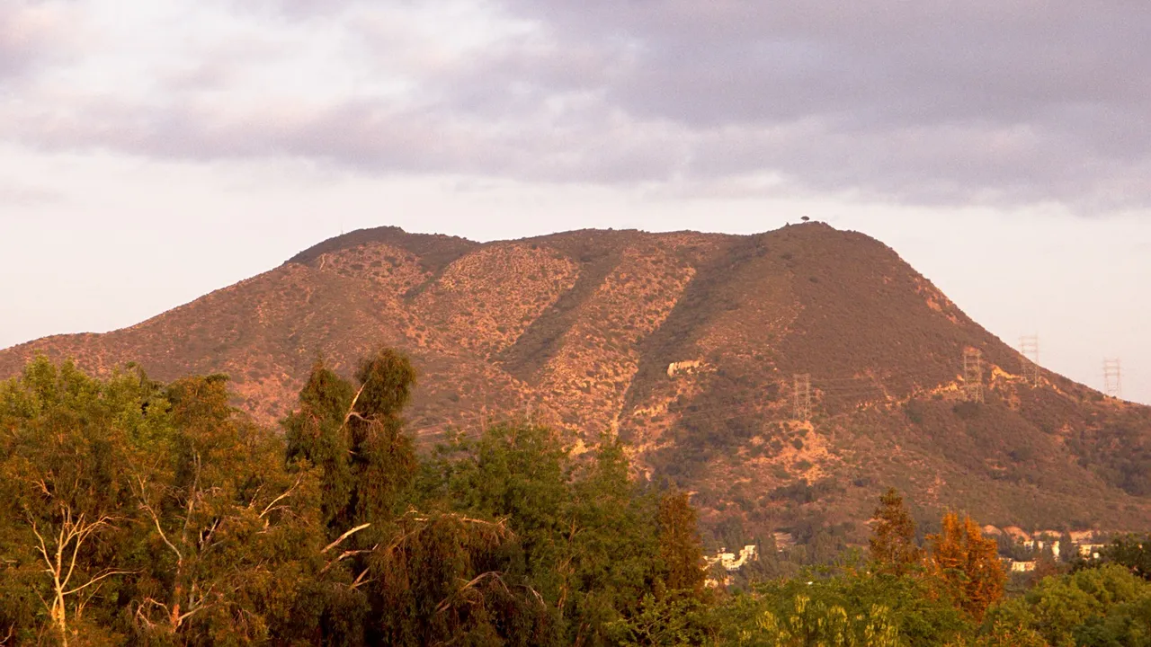
Griffith Park · Santa Monica Mountains
Hilltop in Griffith Park (Santa Monica Mountains), about 7 miles northwest of downtown Los Angeles. Typical outing is 3.6 miles with 1,020 ft of climb. Popular with local hikers and Los Angeles hiking Meetup groups.
Photo: Junkyardsparkle · Public domain
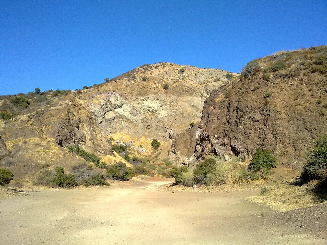
Griffith Park · Santa Monica Mountains
Viewpoint in Griffith Park (Santa Monica Mountains), about 6 miles northwest of downtown Los Angeles. Typical outing is 0.8 miles with 120 ft of climb. Popular with local hikers and Los Angeles hiking Meetup groups.
Photo: Al Pavangkanan · CC BY 2.0
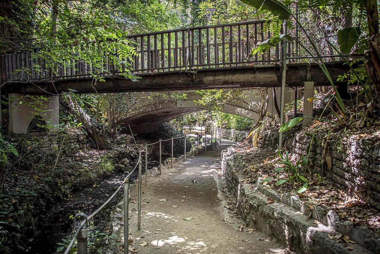
Griffith Park · Santa Monica Mountains
Walking and hiking route in Griffith Park (Santa Monica Mountains), about 5 miles northwest of downtown Los Angeles. Typical outing is 1.6 miles with 240 ft of climb. Popular with local hikers and Los Angeles hiking Meetup groups.
Photo: Afpeach · CC BY-SA 4.0
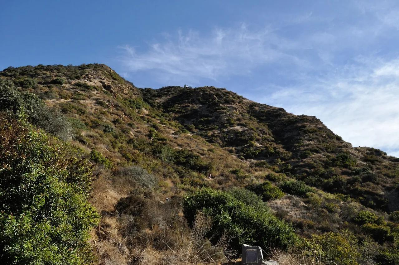
Griffith Park · Santa Monica Mountains
Viewpoint in Griffith Park (Santa Monica Mountains), about 7 miles northwest of downtown Los Angeles. Typical outing is 1.8 miles with 420 ft of climb. Popular with local hikers and Los Angeles hiking Meetup groups.
Photo: The Fun Chronicles · Public domain

Griffith Park · Santa Monica Mountains
Walking and hiking route in Griffith Park (Santa Monica Mountains), about 6 miles northwest of downtown Los Angeles. Typical outing is 2.2 miles with 310 ft of climb. Popular with local hikers and Los Angeles hiking Meetup groups.
Photo: Patrick Kajirian · CC BY 3.0
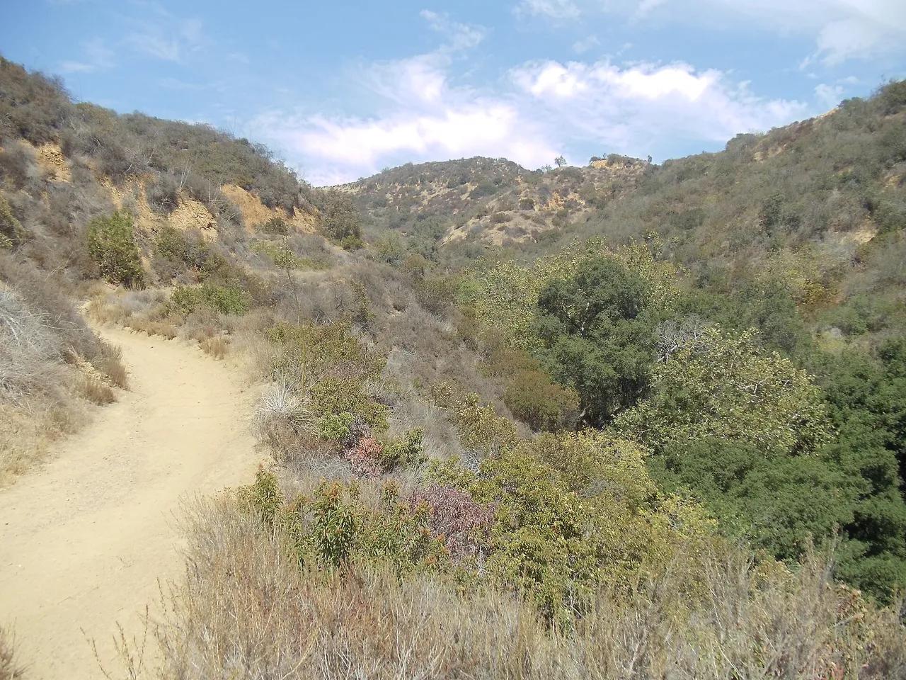
Franklin Canyon Park · Santa Monica Mountains
Nature preserve in Franklin Canyon Park (Santa Monica Mountains), about 11 miles northwest of downtown Los Angeles. Typical outing is 3.0 miles with 450 ft of climb. Popular with local hikers and Los Angeles hiking Meetup groups.
Photo: Zigzig20s · CC BY-SA 3.0
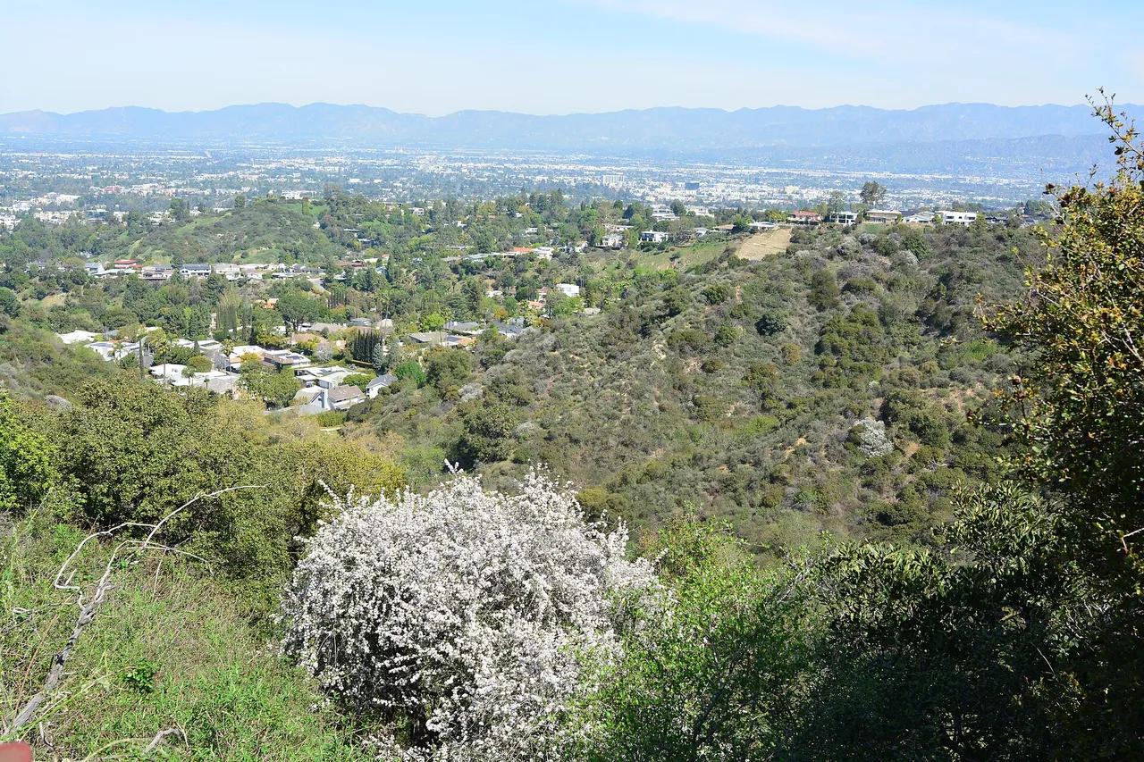
Fryman Canyon Park · Santa Monica Mountains
Park in Fryman Canyon Park (Santa Monica Mountains), about 10 miles northwest of downtown Los Angeles. Typical outing is 3.1 miles with 510 ft of climb. Popular with local hikers and Los Angeles hiking Meetup groups.
Photo: Joe Mabel · CC BY-SA 4.0
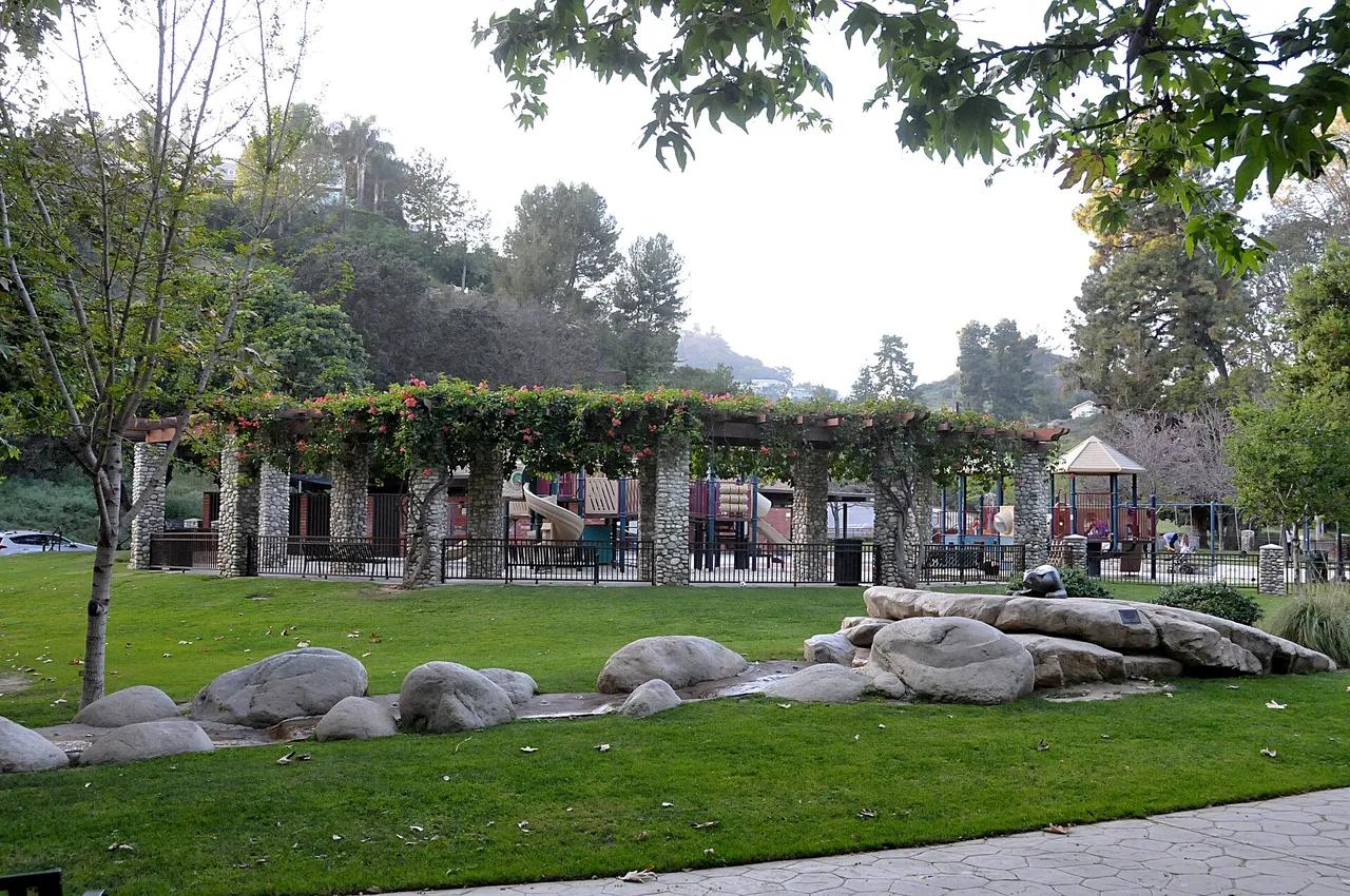
Coldwater Canyon Park · Santa Monica Mountains
Nature preserve in Coldwater Canyon Park (Santa Monica Mountains), about 11 miles northwest of downtown Los Angeles. Typical outing is 2.8 miles with 460 ft of climb. Popular with local hikers and Los Angeles hiking Meetup groups.
Photo: Toglenn · CC BY-SA 3.0
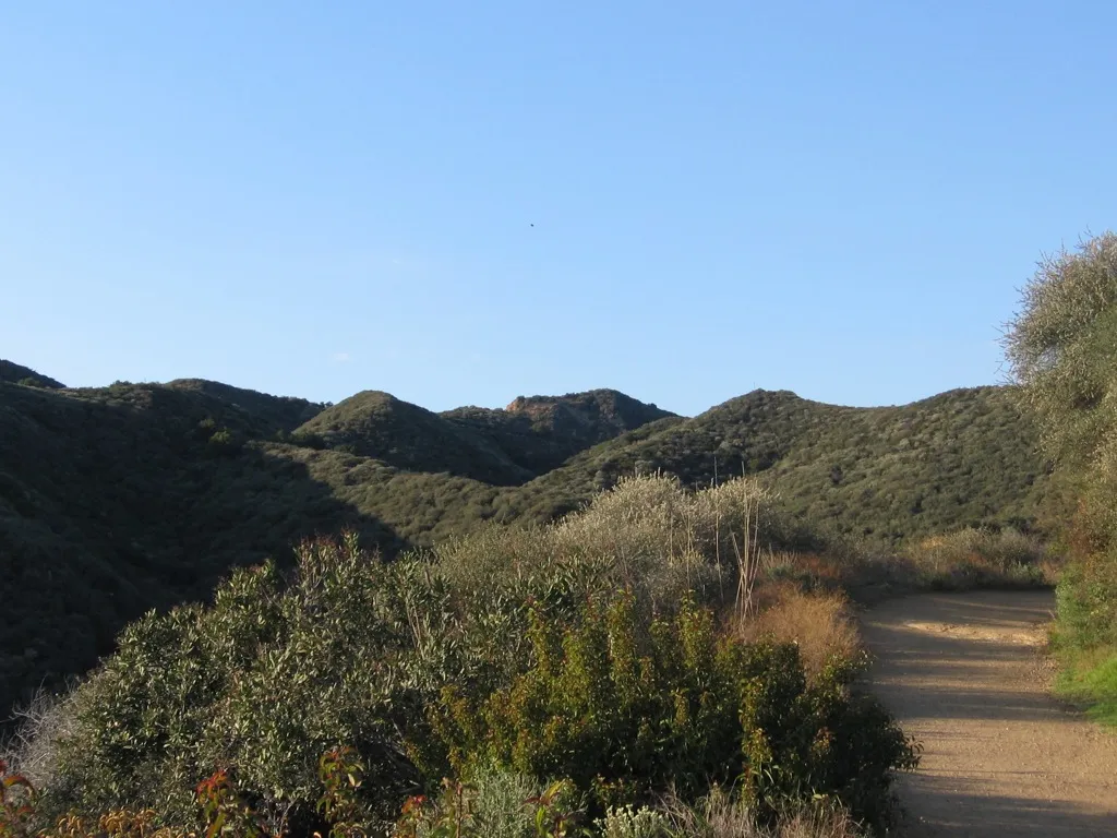
Will Rogers State Historic Park · Santa Monica Mountains
Park in Will Rogers State Historic Park (Santa Monica Mountains), about 15 miles west of downtown Los Angeles. Typical outing is 2.2 miles with 380 ft of climb. Popular with local hikers and Los Angeles hiking Meetup groups.
Photo: Kayamon (talk) · CC BY-SA 3.0
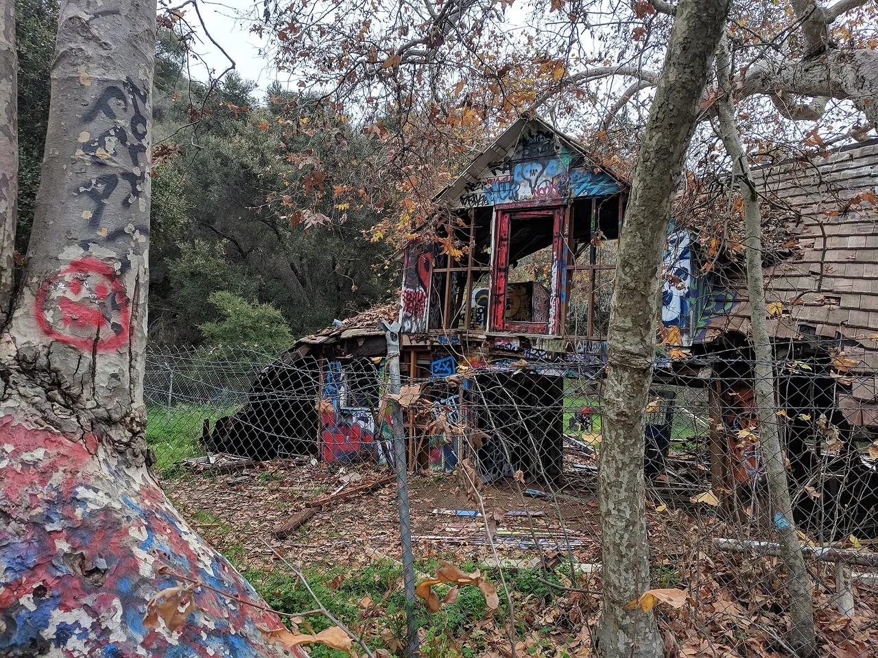
Topanga State Park · Santa Monica Mountains
Walking and hiking route in Topanga State Park (Santa Monica Mountains), about 15 miles west of downtown Los Angeles. Typical outing is 3.8 miles with 620 ft of climb. Popular with local hikers and Los Angeles hiking Meetup groups.
Photo: Oeoi · CC BY-SA 4.0
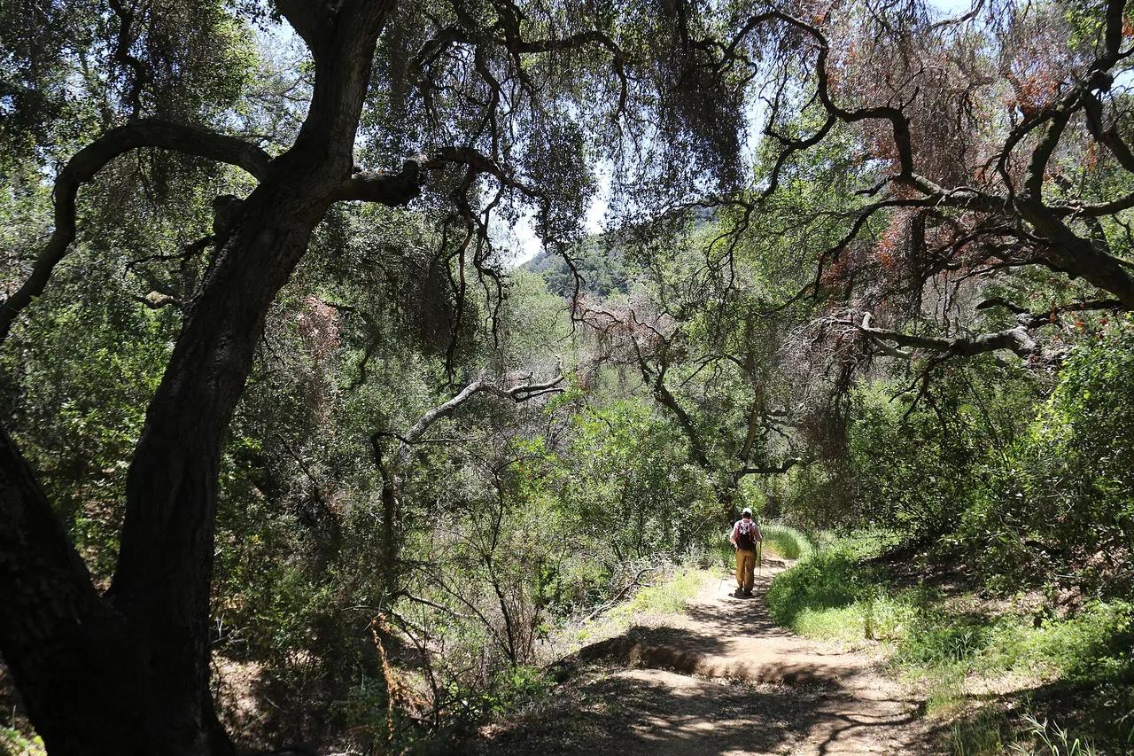
Santa Monica Mountains National Recreation Area · Santa Monica Mountains
Walking and hiking route in Santa Monica Mountains National Recreation Area (Santa Monica Mountains), about 15 miles west of downtown Los Angeles. Typical outing is 8.2 miles with 980 ft of climb. Popular with local hikers and Los Angeles hiking Meetup groups.
Photo: Santa Monica Mountains National Recreation Area · Public domain
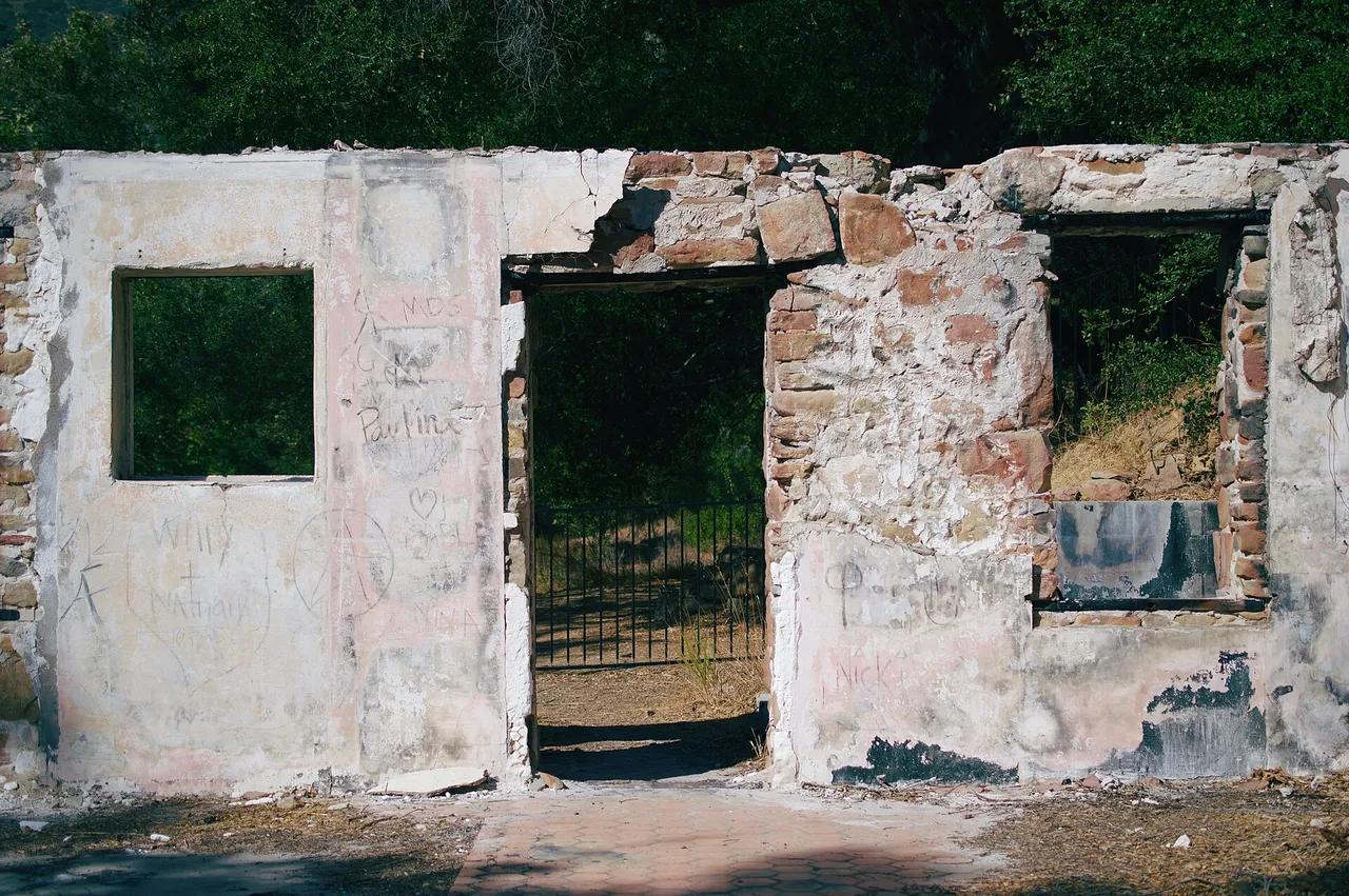
Santa Monica Mountains National Recreation Area · Santa Monica Mountains
Nature preserve in Santa Monica Mountains National Recreation Area (Santa Monica Mountains), about 29 miles west of downtown Los Angeles. Typical outing is 3.2 miles with 620 ft of climb. Popular with local hikers and Los Angeles hiking Meetup groups.
Photo: Levi Clancy · CC BY-SA 4.0
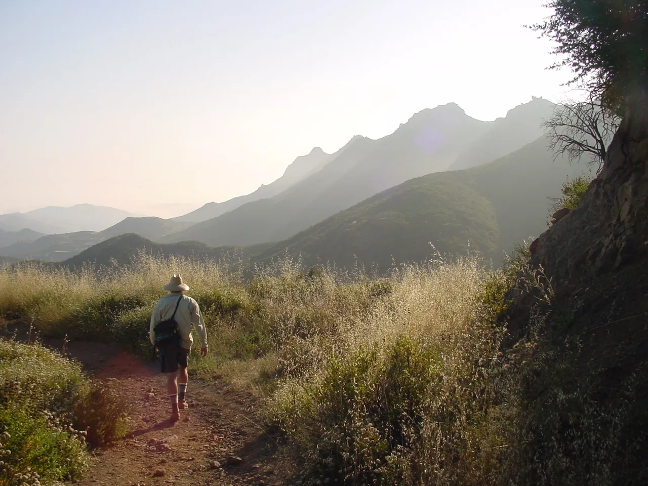
Escondido Canyon Park · Santa Monica Mountains
A multi-tiered waterfall in Escondido Canyon above Malibu. The maintained trail ends at the base of the mossy lower tier.
Photo: Santa Monica Mountains National Recreation Area · Public domain
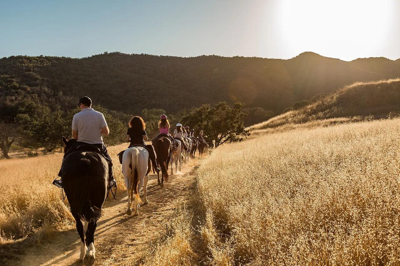
Santa Monica Mountains National Recreation Area · Santa Monica Mountains
Park in Santa Monica Mountains National Recreation Area (Santa Monica Mountains), about 28 miles west of downtown Los Angeles. Typical outing is 2.5 miles with 530 ft of climb. Popular with local hikers and Los Angeles hiking Meetup groups.
Photo: Santa Monica Mountains National Recreation Area · Public domain
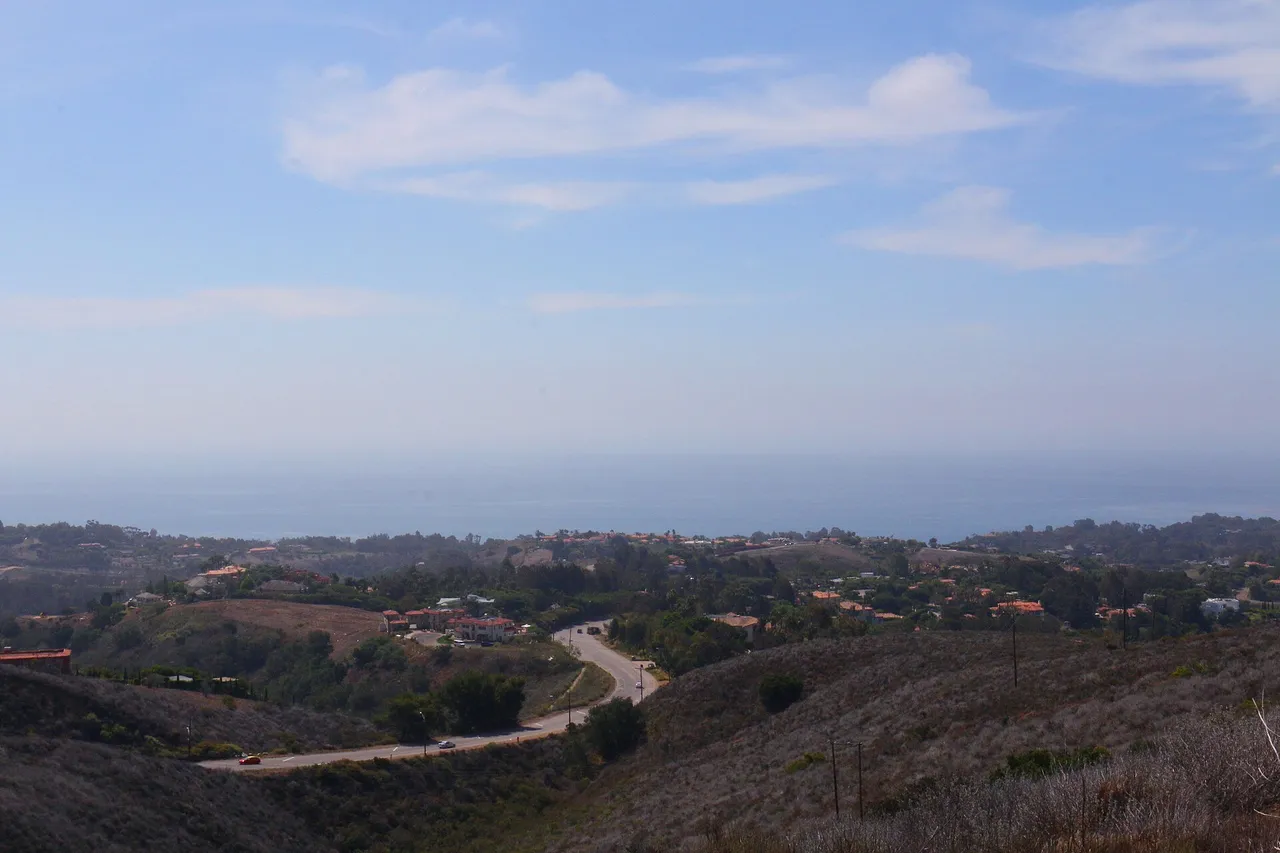
Santa Monica Mountains National Recreation Area · Santa Monica Mountains
Nature preserve in Santa Monica Mountains National Recreation Area (Santa Monica Mountains), about 33 miles west of downtown Los Angeles. Typical outing is 5.6 miles with 940 ft of climb. Popular with local hikers and Los Angeles hiking Meetup groups.
Photo: Santa Monica Mountains National Recreation Area · Public domain
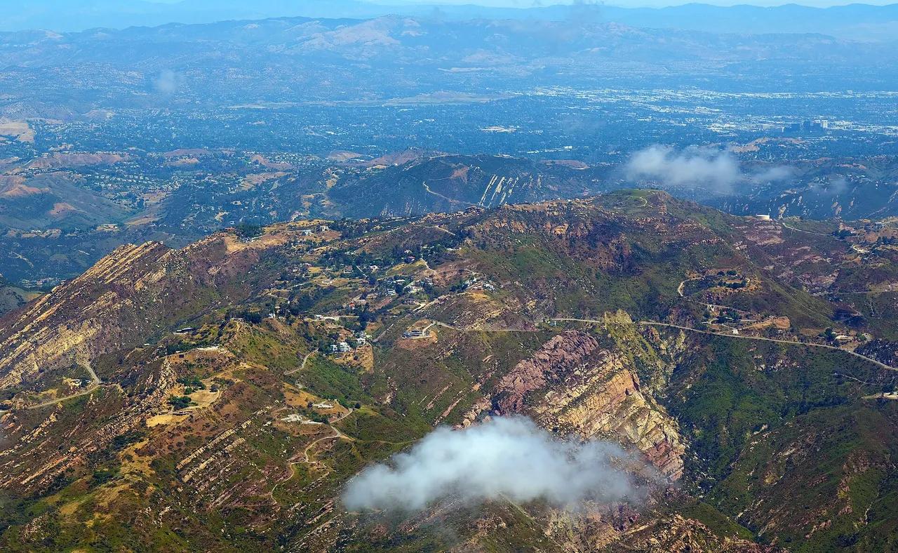
Charmlee Wilderness Park · Santa Monica Mountains
Nature preserve in Charmlee Wilderness Park (Santa Monica Mountains), about 36 miles west of downtown Los Angeles. Typical outing is 3.0 miles with 460 ft of climb. Popular with local hikers and Los Angeles hiking Meetup groups.
Photo: Don Ramey Logan · CC BY-SA 4.0
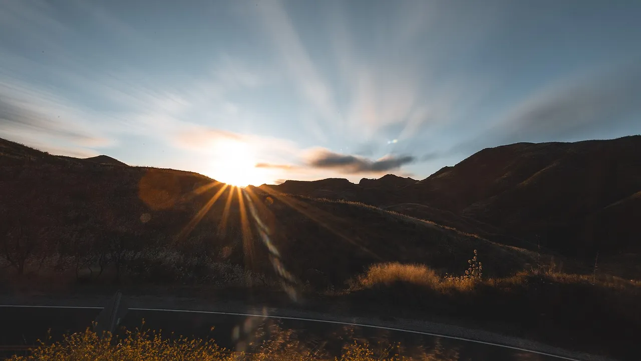
Santa Monica Mountains National Recreation Area · Santa Monica Mountains
Hilltop in Santa Monica Mountains National Recreation Area (Santa Monica Mountains), about 40 miles west of downtown Los Angeles. Typical outing is 6.1 miles with 1,075 ft of climb. Popular with local hikers and Los Angeles hiking Meetup groups.
Photo: Santa Monica Mountains National Recreation Area · Public domain
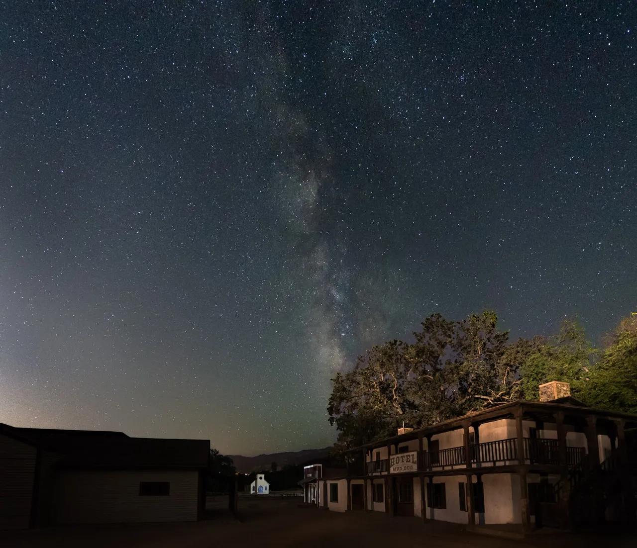
Santa Monica Mountains National Recreation Area · Santa Monica Mountains
Park in Santa Monica Mountains National Recreation Area (Santa Monica Mountains), about 30 miles west of downtown Los Angeles. Typical outing is 3.0 miles with 380 ft of climb. Popular with local hikers and Los Angeles hiking Meetup groups.
Photo: Santa Monica Mountains National Recreation Area · Public domain
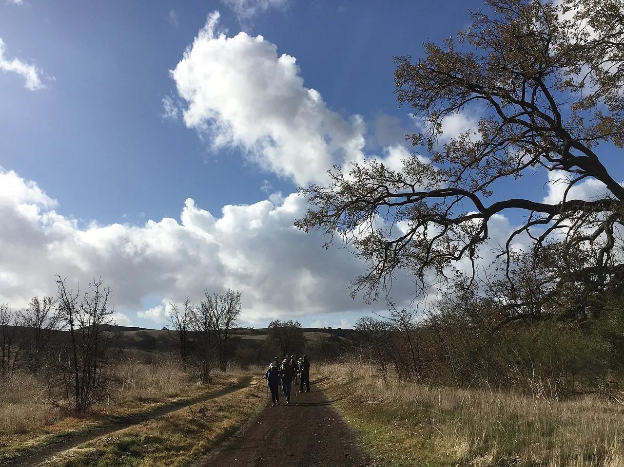
Santa Monica Mountains National Recreation Area · Santa Monica Mountains
Nature preserve in Santa Monica Mountains National Recreation Area (Santa Monica Mountains), about 29 miles west of downtown Los Angeles. Typical outing is 4.6 miles with 540 ft of climb. Popular with local hikers and Los Angeles hiking Meetup groups.
Photo: Santa Monica Mountains National Recreation Area · Public domain
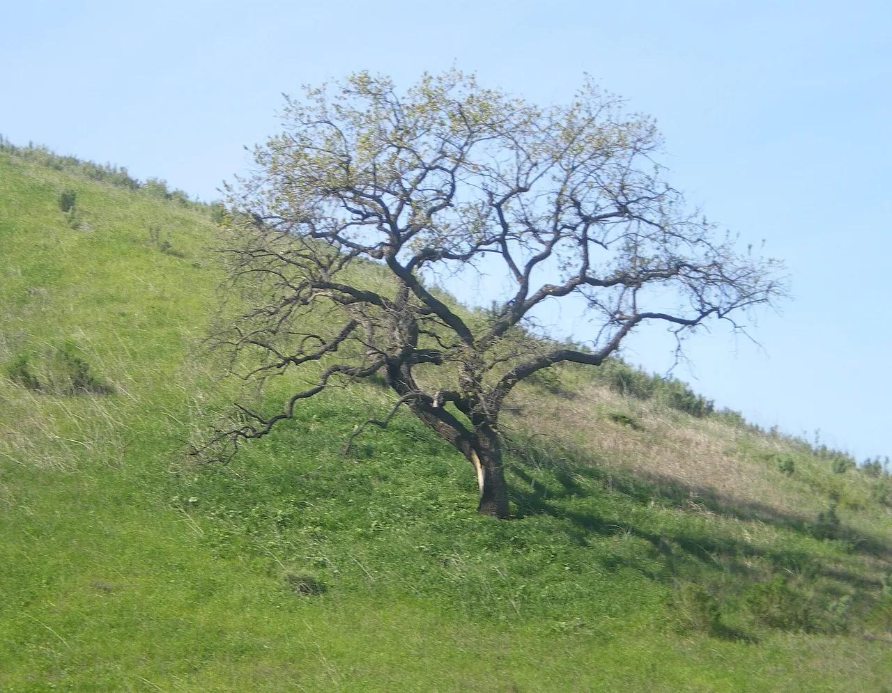
Upper Las Virgenes Canyon Open Space Preserve · Santa Monica Mountains
Nature preserve in Upper Las Virgenes Canyon Open Space Preserve (Santa Monica Mountains), about 28 miles west of downtown Los Angeles. Typical outing is 4.5 miles with 520 ft of climb. Popular with local hikers and Los Angeles hiking Meetup groups.
Photo: Cbl62 (talk) · CC BY-SA 3.0
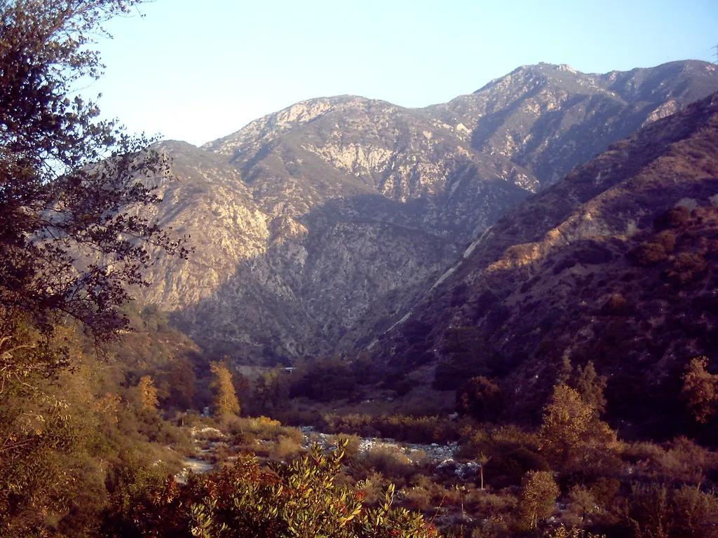
Eaton Canyon Natural Area · San Gabriel Mountains
Waterfall in Eaton Canyon Natural Area (San Gabriel Mountains), about 12 miles northeast of downtown Los Angeles. Typical outing is 3.5 miles with 380 ft of climb. Popular with local hikers and Los Angeles hiking Meetup groups.
Photo: D Sneiders from Temple City, USA · CC BY-SA 2.0
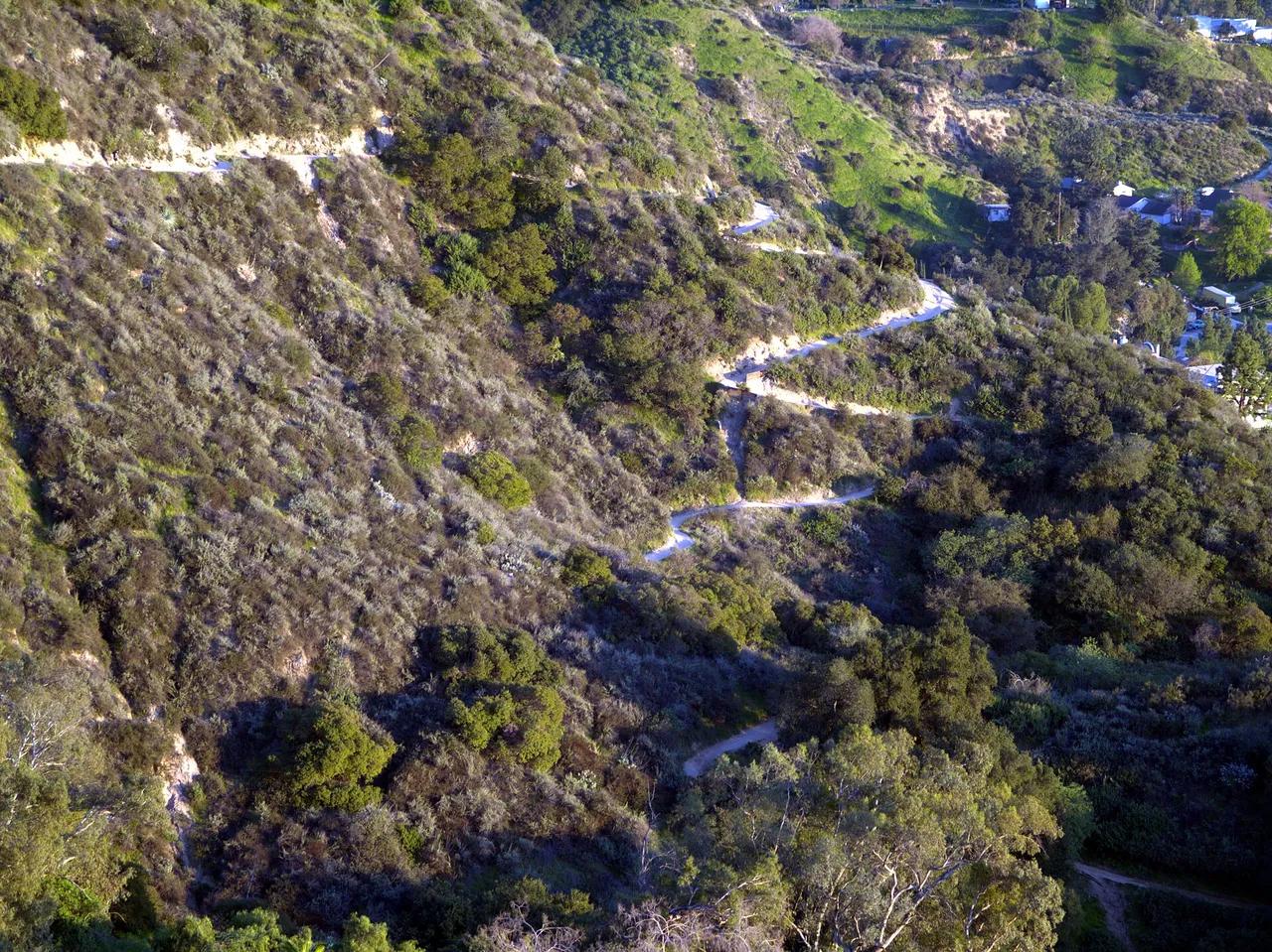
Angeles National Forest · San Gabriel Mountains
Viewpoint in Angeles National Forest (San Gabriel Mountains), about 13 miles northeast of downtown Los Angeles. Typical outing is 5.4 miles with 1,400 ft of climb. Popular with local hikers and Los Angeles hiking Meetup groups.
Photo: Weedwhacker128 · Public domain