Waterfall
Chimney Rock State Park · Appalachian & Blue Ridge · North Carolina
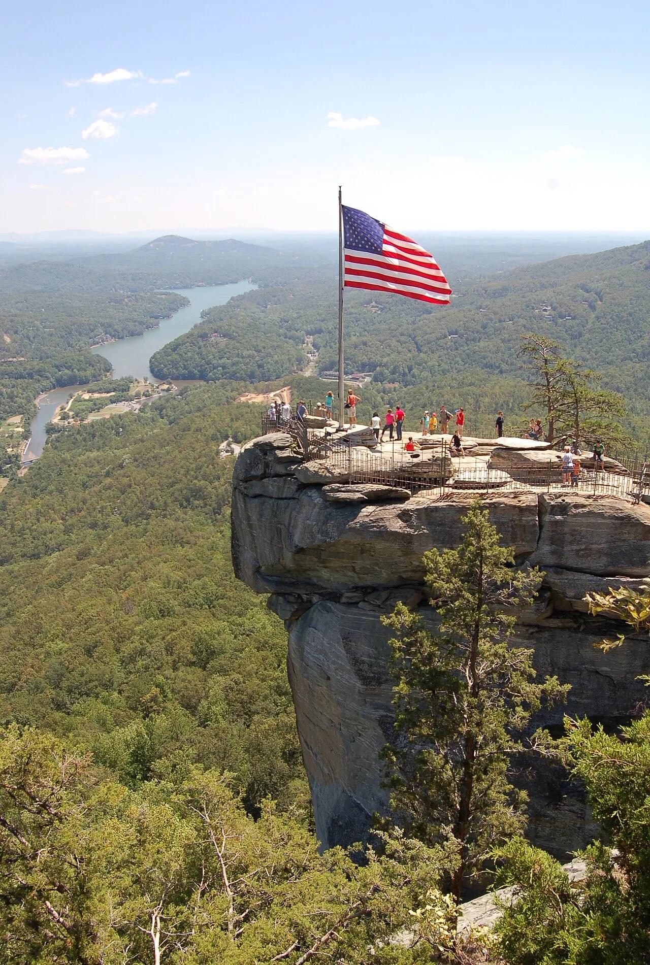
Chimney Rock & Hickory Nut Falls
315-foot granite monolith overlooking Lake Lure paired with the 404-foot plunge of Hickory Nut Falls.
- Route
- 2.8 mi
- Climb
- 607 ft
Browse & Discover
Overlooks, natural arches, sea caves, groves and wildlife reserves.
994 of 2,051 places
Drag to pan. Double-click, pinch or scroll to zoom. Keyboard: arrow keys and +/−. Cards below remain available.
Loading map… Browse the spot cards below at any time.

Joshua Tree National Park
A short desert trail to the historic Barker Dam water-storage structure in Joshua Tree National Park.
Hannah Schwalbe / NPS · Public domain. Source & image licence

Eaton Canyon Natural Area
The waterfall at the head of lower Eaton Canyon, reached by a wide wash walk from the Eaton Canyon Nature Center and a final creekside scramble.
[scott.medling or en:user:scott.medling user:scott.medling from California, United States] · CC BY-SA 2.0. Source & image licence

Angeles National Forest
The ruined mountain resort of the Mount Lowe Railway, on a front-range promontory above Altadena at the top of the Lower Sam Merrill Trail.
Lennonrodgers at en.wikipedia · Public domain. Source & image licence

Escondido Canyon Park
A multi-tiered waterfall in Escondido Canyon above Malibu. The maintained trail ends at the base of the mossy lower tier.
Santa Monica Mountains National Recreation Area · Public domain. Source & image licence

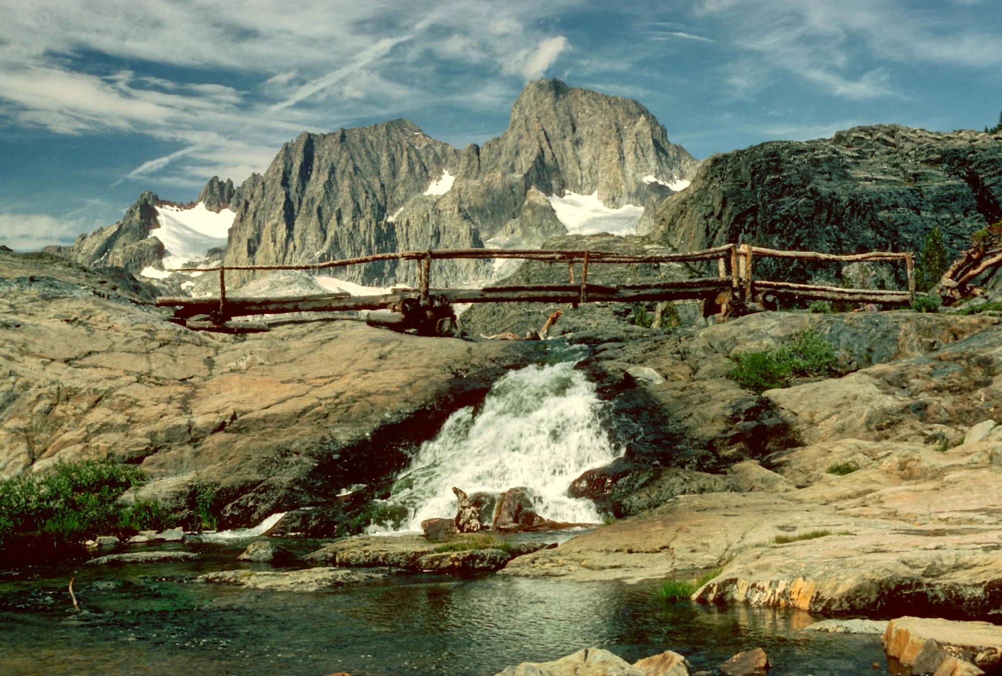
Inyo National Forest
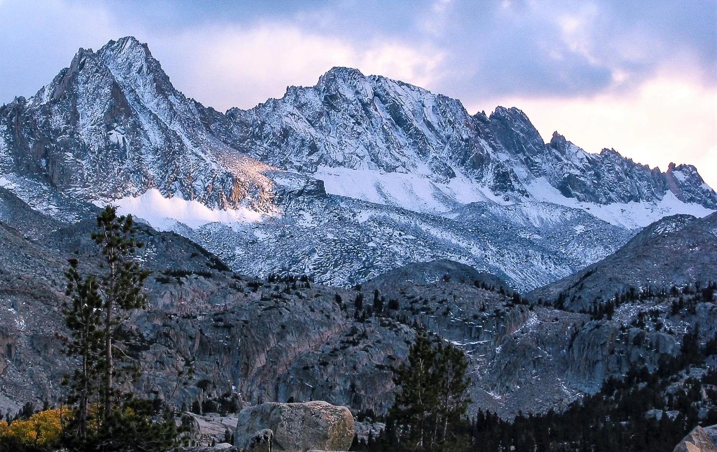
A chain of small alpine lakes at the head of Little Lakes Valley in the John Muir Wilderness, below the 13,000-foot peaks of the Bear Creek Spire cirque.
Jane S. Richardson (talk · contribs) · CC BY-SA 3.0. Source & image licence

Mount Tamalpais Watershed
A winter-and-spring cascade on Cataract Creek just below the Laurel Dell picnic area, reached downhill along the Cataract Trail from Rock Spring.
Richard Wood · CC BY-SA 3.0. Source & image licence

Joshua Tree National Park
One of the best-preserved stamp mills in Joshua Tree National Park, at the site of the Lost Horse gold mine.
Joseph from Cabin On The Road, USA · CC BY-SA 2.0. Source & image licence

Angeles National Forest
A waterfall of about fifty feet filling the head of a narrow, shaded canyon, a short walk upstream from Millard Campground.
Region 5 Photography · Public domain. Source & image licence

Inyo National Forest
A quiet lake in the Ansel Adams Wilderness beneath Parker Peak, reached through sage and an aspen-lined creek canyon off the June Lake Loop.
Mark Gunn from Novato, California, USA · CC BY 2.0. Source & image licence

Pfeiffer Big Sur State Park
A 60-foot waterfall on Pfeiffer-Redwood Creek, reached through the redwoods of Pfeiffer Big Sur State Park on a trail twice rebuilt — after the 2008 Basin Complex Fire and again after 2023 storm damage.
Joe Mabel · CC BY-SA 4.0. Source & image licence

Angeles National Forest
A 50-foot single drop into a shallow plunge pool, 1.7 mi up Big Santa Anita Canyon. Shaded the entire way in. The work is all on the walk out.
U.S. Department of Agriculture / USDA USFS · CC BY 2.0. Source & image licence

Santa Monica Mountains National Recreation Area
The ruins of the Roberts family ranch house at the end of the canyon-floor trail in Solstice Canyon, beside a small seasonal waterfall.
George Heras / Santa Monica Mountains National Recreation Area · Public domain. Source & image licence

Pfeiffer Big Sur State Park
An overlook above the Big Sur River valley, looking north over the redwoods toward Point Sur and the Pacific.
King of Hearts · CC BY-SA 3.0. Source & image licence
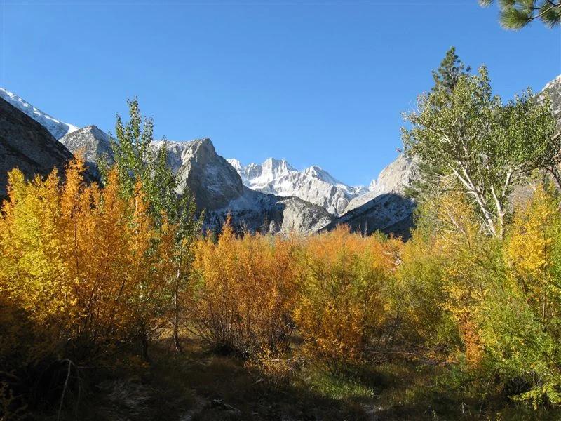
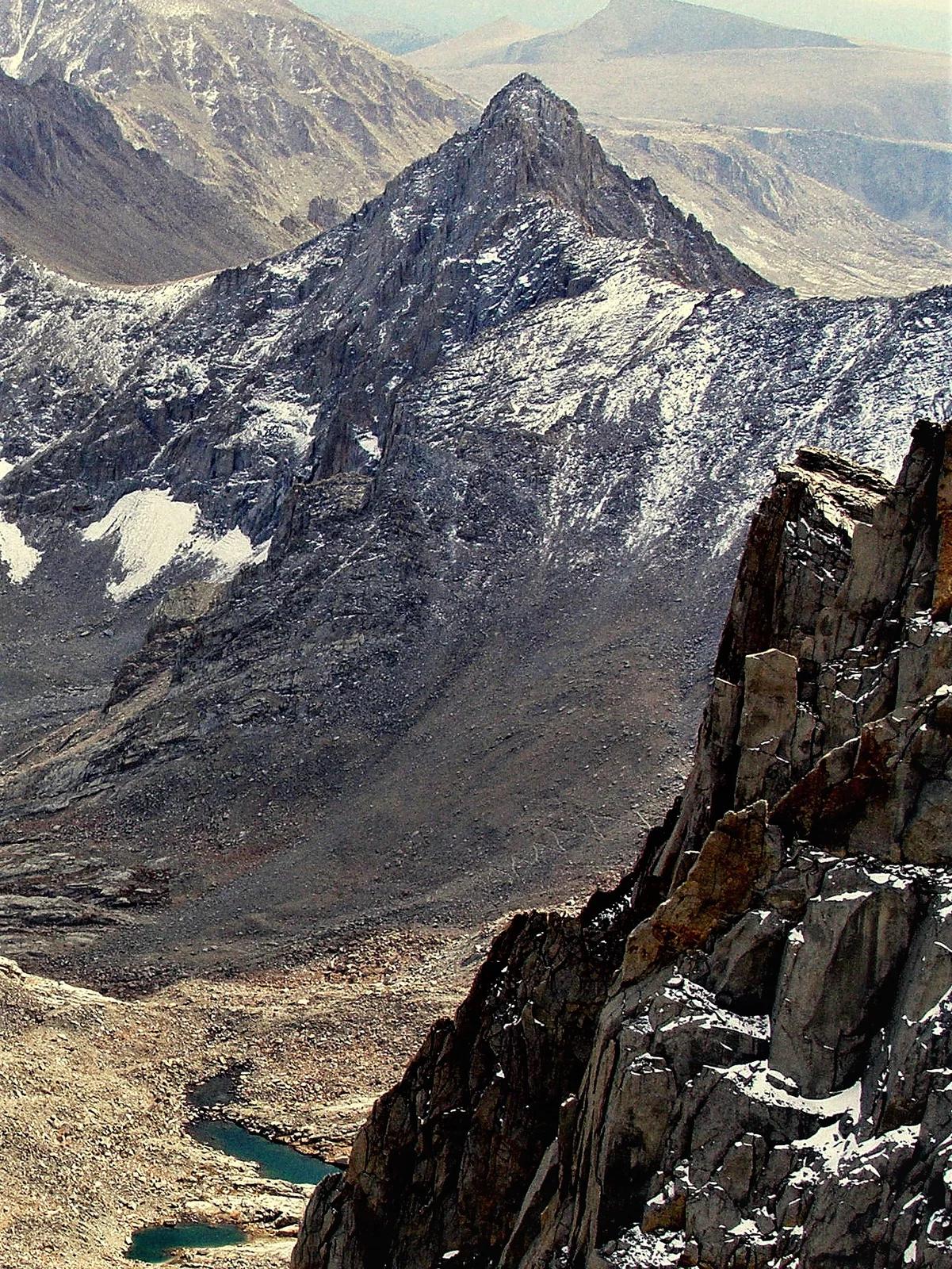
Sequoia and Kings Canyon National Parks · Yosemite & Central Sierra
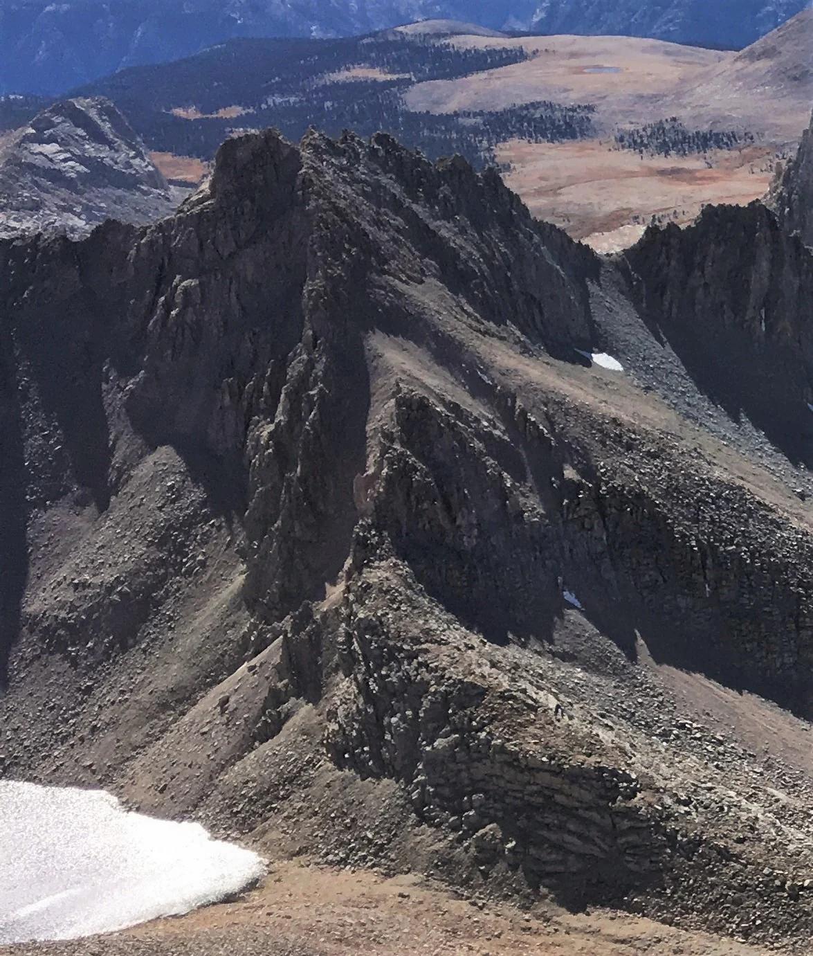
Verified California peak at 13,928 ft in Sequoia and Kings Canyon National Parks (Yosemite & Central Sierra).
Photo: Justin.Johnsen ( talk · contribs ) ( Justin at Flickr ) · CC BY 2.0
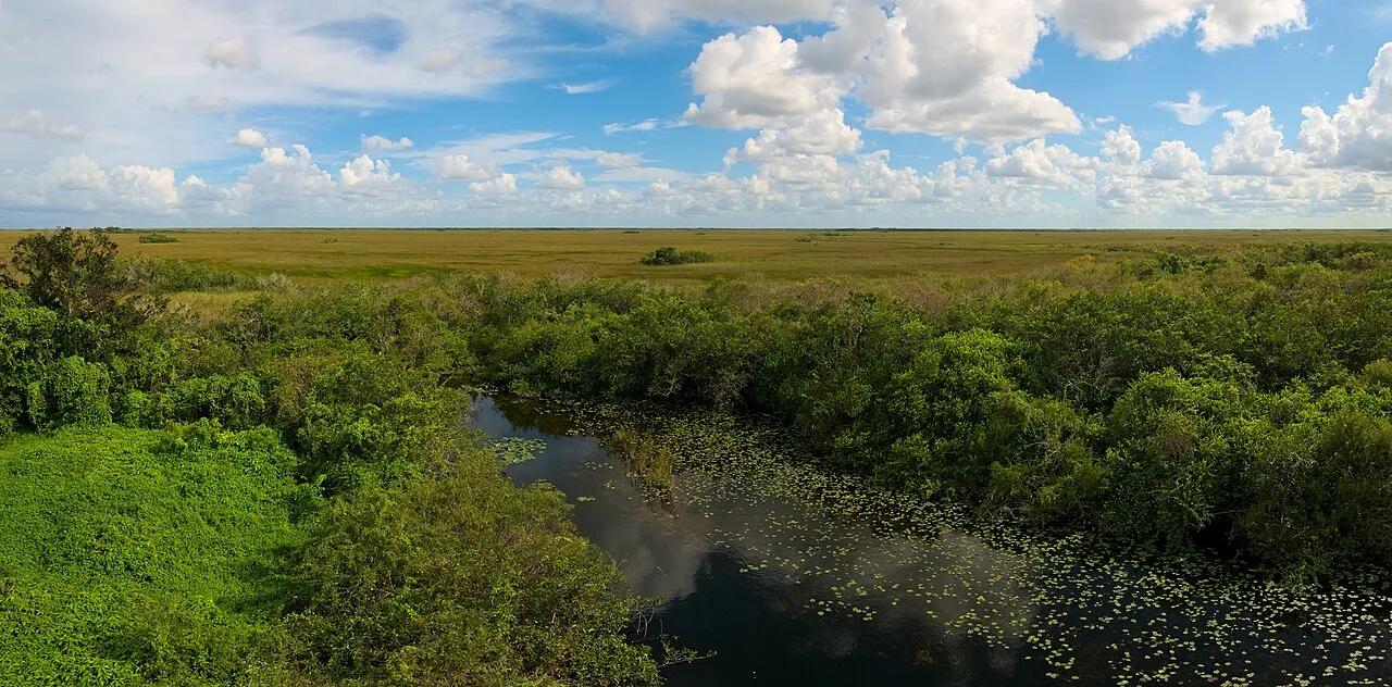
Everglades National Park · Atlantic & Gulf Coasts · Florida
15-mile paved loop cutting straight into the Shark River Slough sawgrass prairie alongside basking American alligators, wood storks, and a 65-foot spiral tower.
Photo: Daniel Kraft · CC BY-SA 3.0
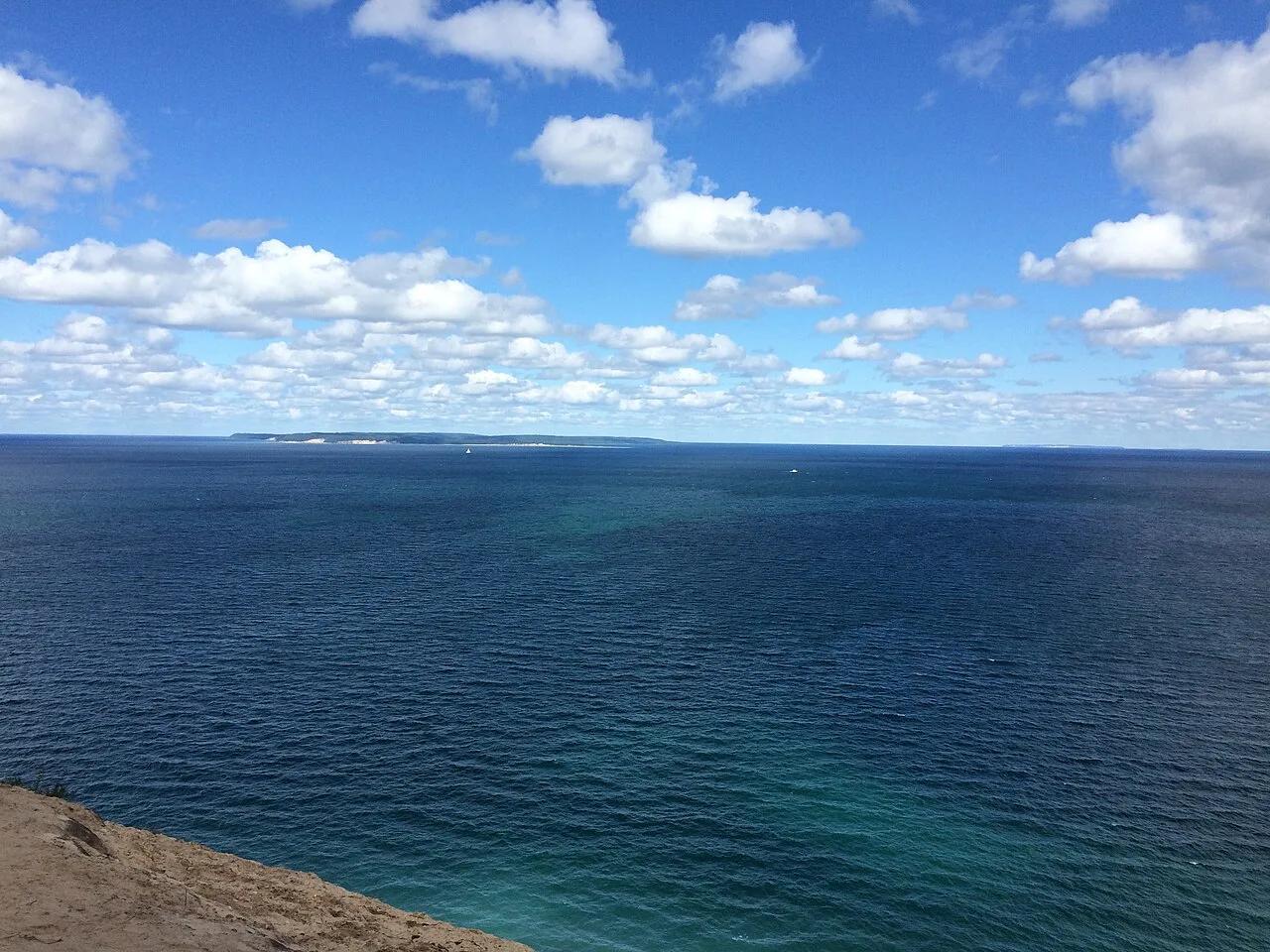
Sleeping Bear Dunes National Lakeshore · Northern Lower Peninsula · Michigan
Perched sand dune trail ascending through beech-maple hardwood forest to a dizzying 400-foot sandy bluff over the Caribbean-blue waters of Lake Michigan and the Manitou Islands.
Photo: NOAA Great Lakes Environmental Research Laboratory · CC BY-SA 2.0
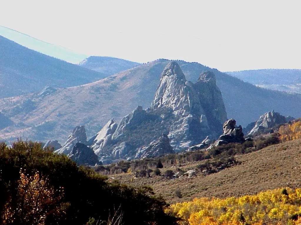
City of Rocks National Reserve · Rocky Mountains · Idaho
Oligocene and Archean granite monoliths up to 600 feet tall where Oregon Trail emigrants carved their names in axle grease.
Photo: Wallace Keck, Park Superintendent, City of Rocks National Reserve. Idaho · Public domain
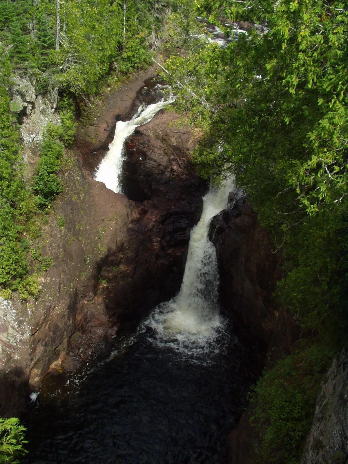
Judge C.R. Magney State Park · North Shore · Minnesota
Geological marvel where the Brule River splits in two—half crashing into a 50-foot pool while the other half disappears forever down an unfathomable pothole.
Photo: Rufus Sarsaparilla at English Wikipedia · Public domain
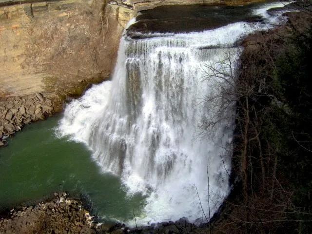
Burgess Falls State Park (Sparta) · Appalachian & Blue Ridge · Tennessee
Four cascading waterfalls along the Falling Water River descending 250 feet through a sheer limestone gorge into Center Hill Lake.
Photo: Brian Stansberry · CC BY 3.0
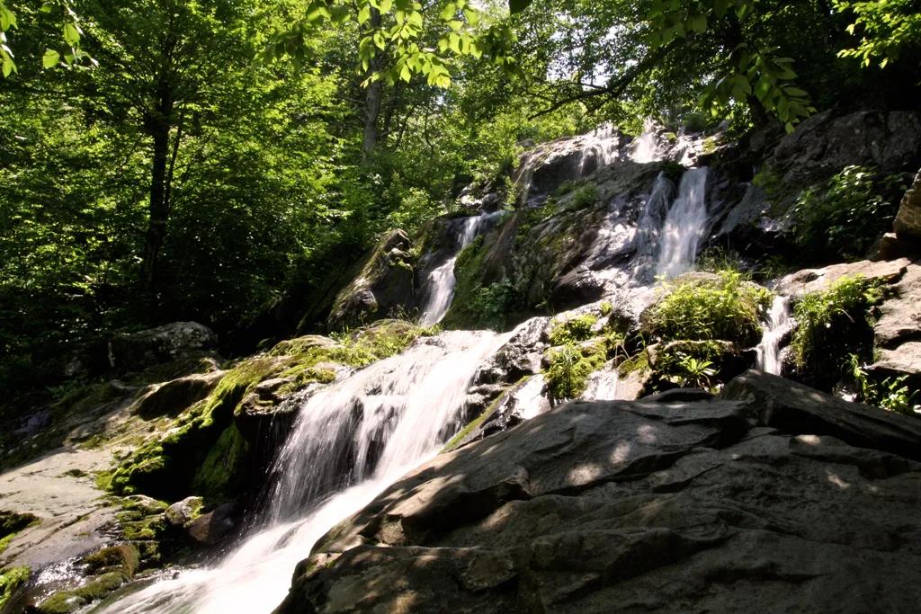
Shenandoah National Park (Skyline Drive MP 50.7) · Appalachian & Blue Ridge · Virginia
70-foot cascading greenstone waterfall fed by Hogcamp Branch—the closest waterfall to Skyline Drive in Shenandoah National Park.
Photo: W. Grotophorst · Public domain
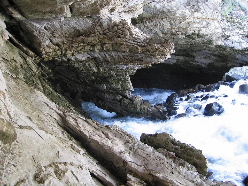
Sinks Canyon State Park (Lander) · Rocky Mountains · Wyoming
Karst canyon where the Middle Fork Popo Agie River vanishes into a Madison Limestone cavern and reappears in a trout-filled pool downstream.
Photo: Brian Harms Brian Harms · CC BY-SA 3.0

Custer State Park / Norbeck Wildlife Preserve · Black Hills · South Dakota
A granite spire summit scramble navigating a narrow rock cleft to look directly across at the iconic granite pinnacles of the Cathedral Spires and Black Elk Peak.
Photo: User:Jsoo1 · CC BY-SA 3.0
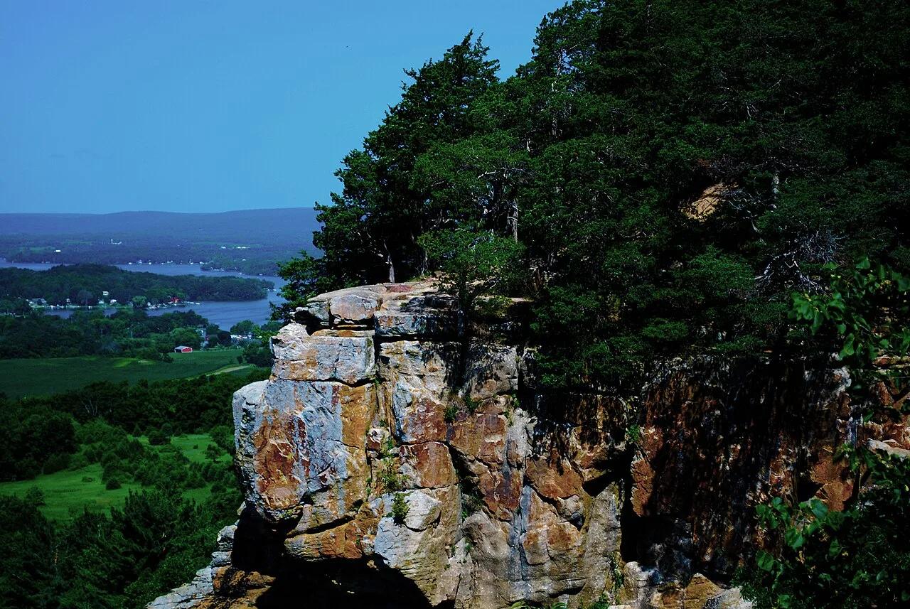
Ice Age National Scenic Trail (Lodi) · Driftless Area · Wisconsin
Prominent 400-foot flat-topped sandstone and dolomite butte crowned by red cedar glades and panoramic 360-degree views of the Wisconsin River valley.
Photo: Wackybadger · CC BY-SA 3.0
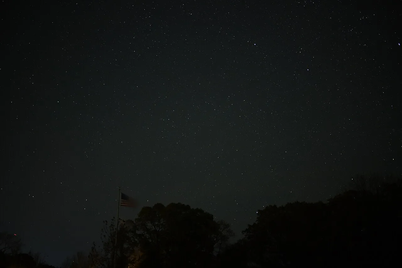
Halibut Point State Park & Reservation · Cape Ann / North Shore · Massachusetts
A 60-foot water-filled granite quarry abuts open coastal ledges with expansive views to Mount Agamenticus in Maine.
Photo: 4300streetcar · CC BY 4.0
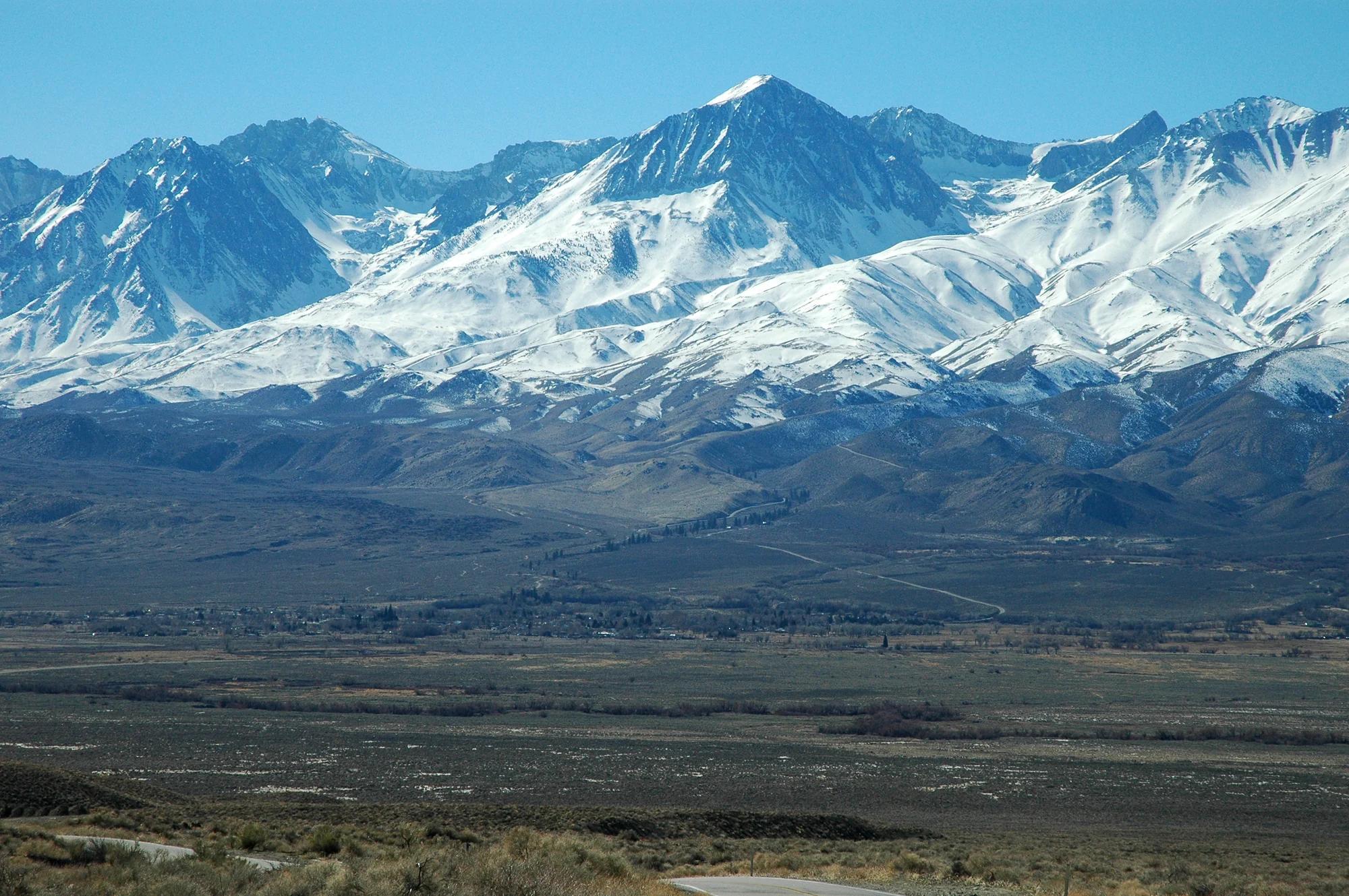
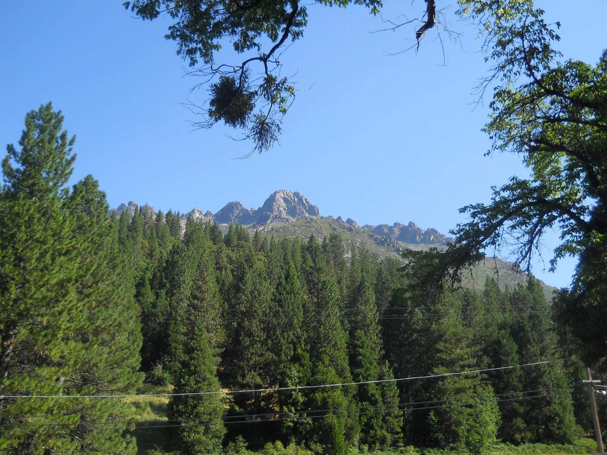
Los Padres National Forest · Central Coast
Verified California peak at 6,814 ft in Los Padres National Forest (Central Coast).
Photo: Clinton Steeds from Los Angeles, USA · CC BY 2.0
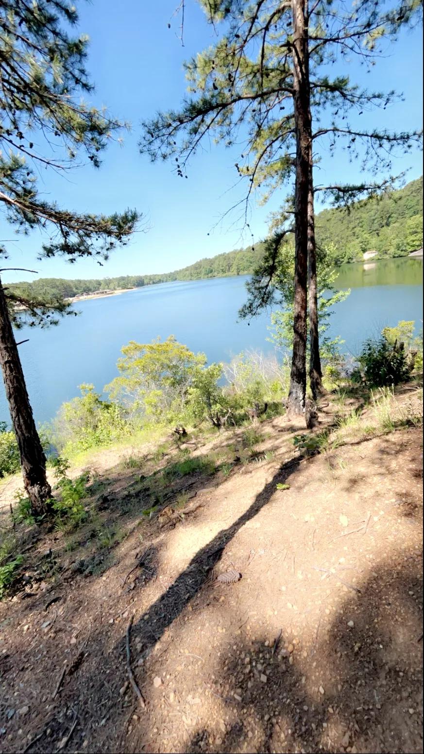
Oak Mountain State Park (Pelham) · Appalachian & Blue Ridge · Alabama
Spring-fed 65-foot sandstone waterfall and high Double Oak Mountain cliff overlook in Alabama's largest state park, paired with IMBA Red Trail singletrack.
Photo: Ghyoungb01 · Public domain
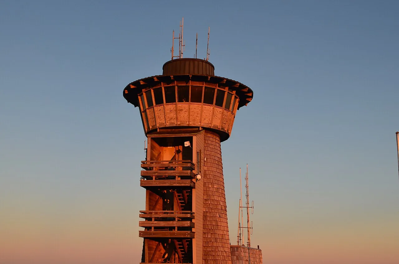
Chattahoochee-Oconee National Forest · Appalachian & Blue Ridge · Georgia
Highest natural point in Georgia (4,784 ft), where a steep stunted-oak and rhododendron trail climbs to a 360-degree four-state observation deck.
Photo: Anthony Rizzo · CC BY-SA 4.0
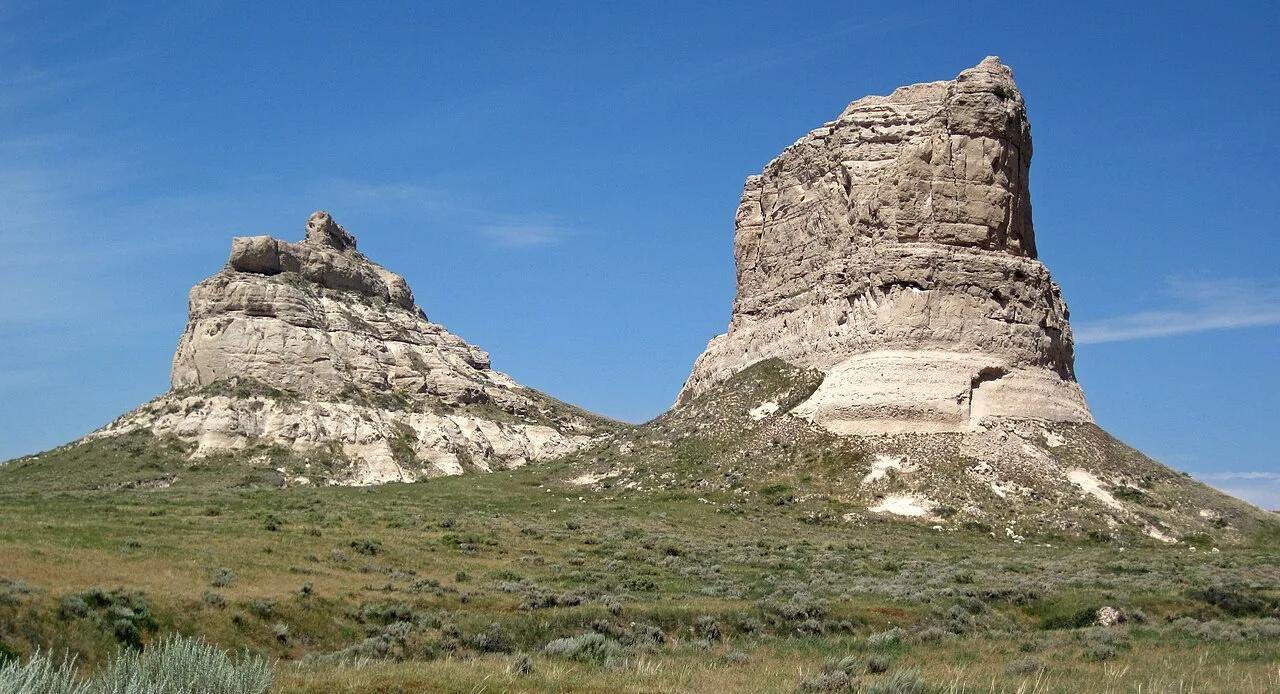
Courthouse and Jail Rocks State Historical Site (Bridgeport) · Panhandle · Nebraska
Monumental 400-foot Brule clay and sandstone monoliths visible for 40 miles that served as celebrated milestones for Oregon and Mormon Trail pioneers.
Photo: James St. John · CC BY 2.0