Peak
Yosemite National Park · Yosemite & Central Sierra
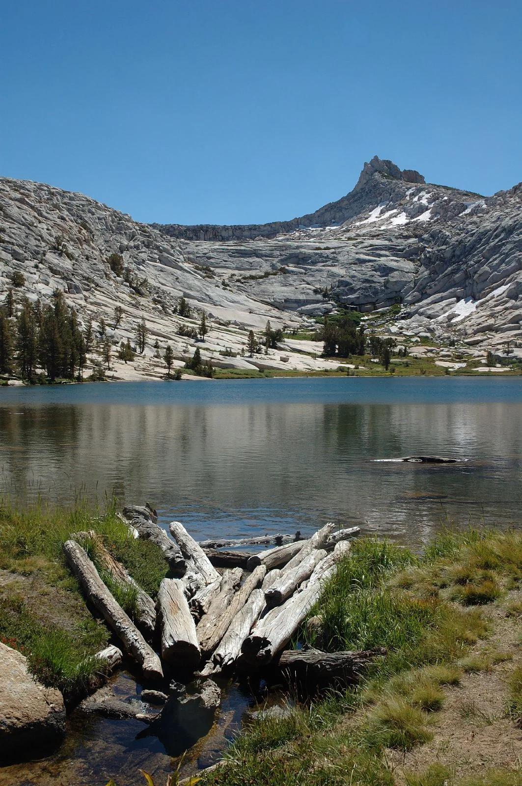
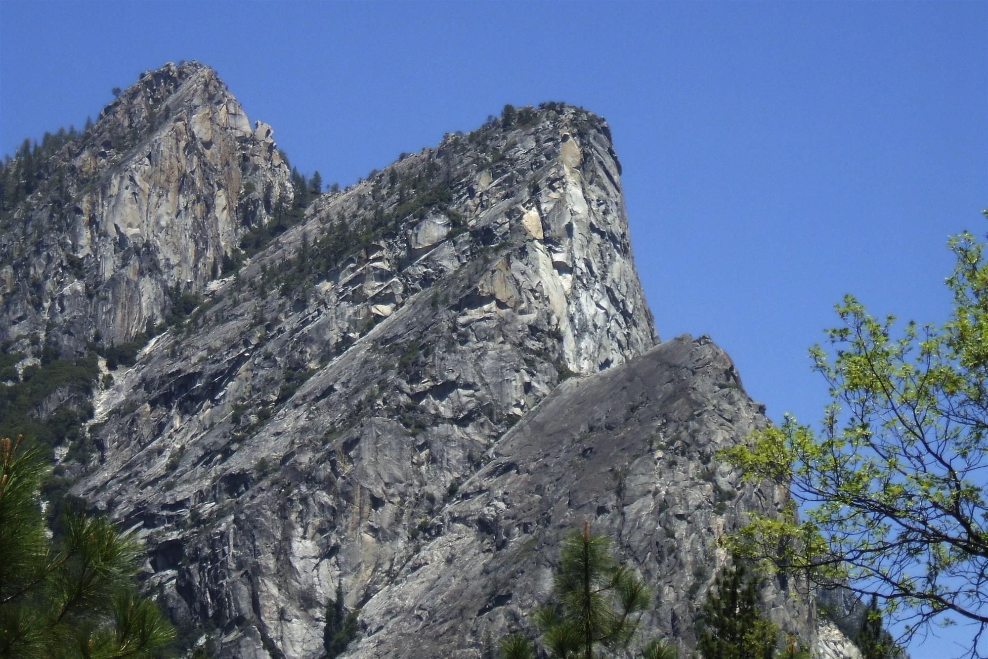
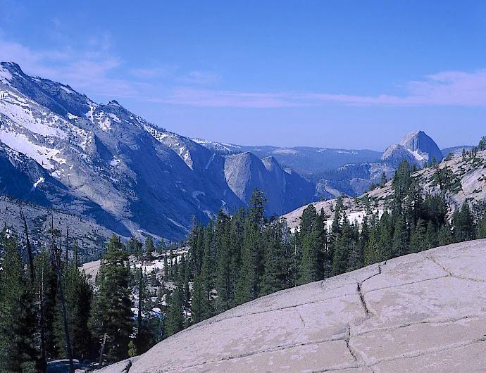
Olmsted Point
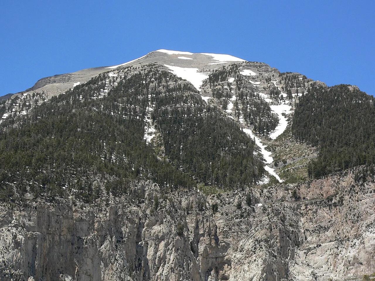
Verified California peak at 8,419 ft in Yosemite National Park (Yosemite & Central Sierra). Linked to Snow Creek Trail.
- Route
- 9.2 mi
- Elevation
- 8,419 ft
Browse & Discover
Overlooks, natural arches, sea caves, groves and wildlife reserves.
994 of 2,051 places
Drag to pan. Double-click, pinch or scroll to zoom. Keyboard: arrow keys and +/−. Cards below remain available.
Loading map… Browse the spot cards below at any time.

Joshua Tree National Park
A short desert trail to the historic Barker Dam water-storage structure in Joshua Tree National Park.
Hannah Schwalbe / NPS · Public domain. Source & image licence

Eaton Canyon Natural Area
The waterfall at the head of lower Eaton Canyon, reached by a wide wash walk from the Eaton Canyon Nature Center and a final creekside scramble.
[scott.medling or en:user:scott.medling user:scott.medling from California, United States] · CC BY-SA 2.0. Source & image licence

Angeles National Forest
The ruined mountain resort of the Mount Lowe Railway, on a front-range promontory above Altadena at the top of the Lower Sam Merrill Trail.
Lennonrodgers at en.wikipedia · Public domain. Source & image licence

Escondido Canyon Park
A multi-tiered waterfall in Escondido Canyon above Malibu. The maintained trail ends at the base of the mossy lower tier.
Santa Monica Mountains National Recreation Area · Public domain. Source & image licence

Inyo National Forest
A chain of small alpine lakes at the head of Little Lakes Valley in the John Muir Wilderness, below the 13,000-foot peaks of the Bear Creek Spire cirque.
Jane S. Richardson (talk · contribs) · CC BY-SA 3.0. Source & image licence

Mount Tamalpais Watershed
A winter-and-spring cascade on Cataract Creek just below the Laurel Dell picnic area, reached downhill along the Cataract Trail from Rock Spring.
Richard Wood · CC BY-SA 3.0. Source & image licence

Joshua Tree National Park
One of the best-preserved stamp mills in Joshua Tree National Park, at the site of the Lost Horse gold mine.
Joseph from Cabin On The Road, USA · CC BY-SA 2.0. Source & image licence

Angeles National Forest
A waterfall of about fifty feet filling the head of a narrow, shaded canyon, a short walk upstream from Millard Campground.
Region 5 Photography · Public domain. Source & image licence

Inyo National Forest
A quiet lake in the Ansel Adams Wilderness beneath Parker Peak, reached through sage and an aspen-lined creek canyon off the June Lake Loop.
Mark Gunn from Novato, California, USA · CC BY 2.0. Source & image licence

Pfeiffer Big Sur State Park
A 60-foot waterfall on Pfeiffer-Redwood Creek, reached through the redwoods of Pfeiffer Big Sur State Park on a trail twice rebuilt — after the 2008 Basin Complex Fire and again after 2023 storm damage.
Joe Mabel · CC BY-SA 4.0. Source & image licence

Angeles National Forest
A 50-foot single drop into a shallow plunge pool, 1.7 mi up Big Santa Anita Canyon. Shaded the entire way in. The work is all on the walk out.
U.S. Department of Agriculture / USDA USFS · CC BY 2.0. Source & image licence

Santa Monica Mountains National Recreation Area
The ruins of the Roberts family ranch house at the end of the canyon-floor trail in Solstice Canyon, beside a small seasonal waterfall.
George Heras / Santa Monica Mountains National Recreation Area · Public domain. Source & image licence

Pfeiffer Big Sur State Park
An overlook above the Big Sur River valley, looking north over the redwoods toward Point Sur and the Pacific.
King of Hearts · CC BY-SA 3.0. Source & image licence
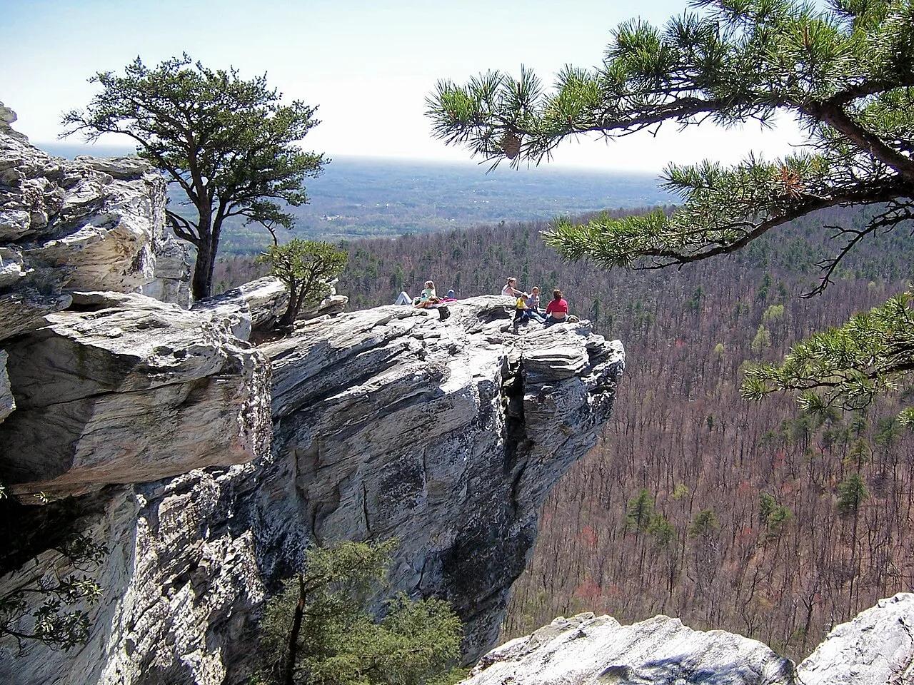
Hanging Rock State Park (Sauratown Mountains) · Appalachian & Blue Ridge · North Carolina
Isolated quartzite monadnock cliffs rising above the Piedmont with five spring-fed mountain waterfalls including Lower Cascades and Tory's Den.
Photo: Jacalyn Engler from Greensboro, United States · CC BY-SA 2.0
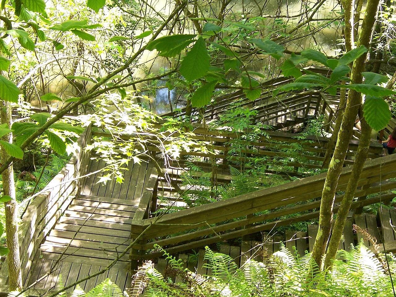
Devil's Millhopper Geological State Park (Gainesville) · Atlantic & Gulf Coasts · Florida
120-foot-deep, 500-foot-wide collapsed limestone karst sinkhole harboring a cool Appalachian-style miniature rainforest fed by 12 rim waterfalls.
Photo: Ken Watford · Public domain
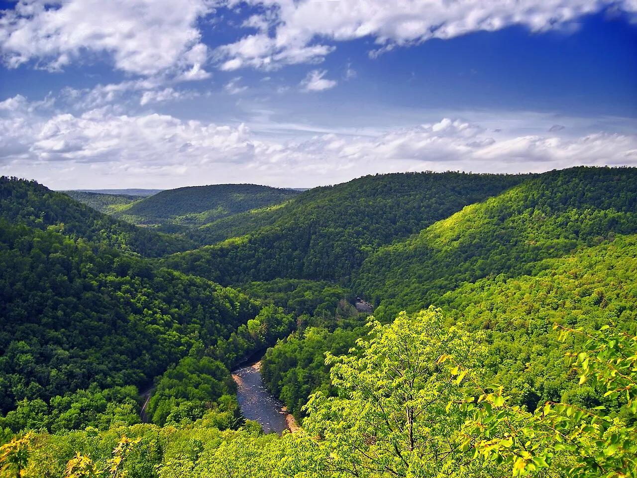
Worlds End State Park / Loyalsock State Forest · Endless Mountains · Pennsylvania
An S-shaped canyon carved 1,000 feet deep through the Endless Mountains plateau by the rushing waters of Loyalsock Creek.
Photo: Nicholas · CC BY 2.0
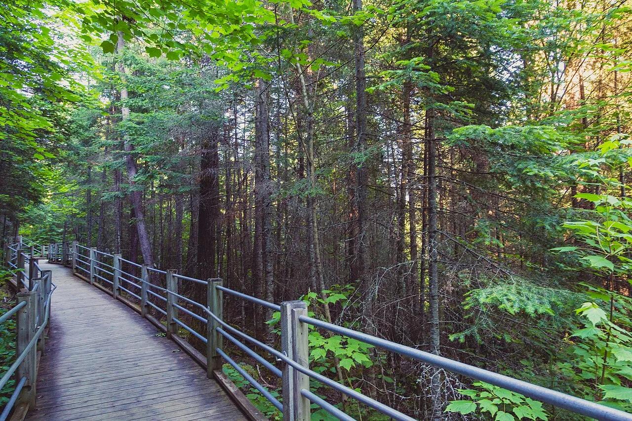
Grand Portage State Park · Arrowhead · Minnesota
Thunderous 120-foot waterfall roaring across a diabase sill on the US-Canada international border, navigated by an accessible riverside boardwalk.
Photo: Tony Webster from Minneapolis, Minnesota, United States · CC BY-SA 2.0
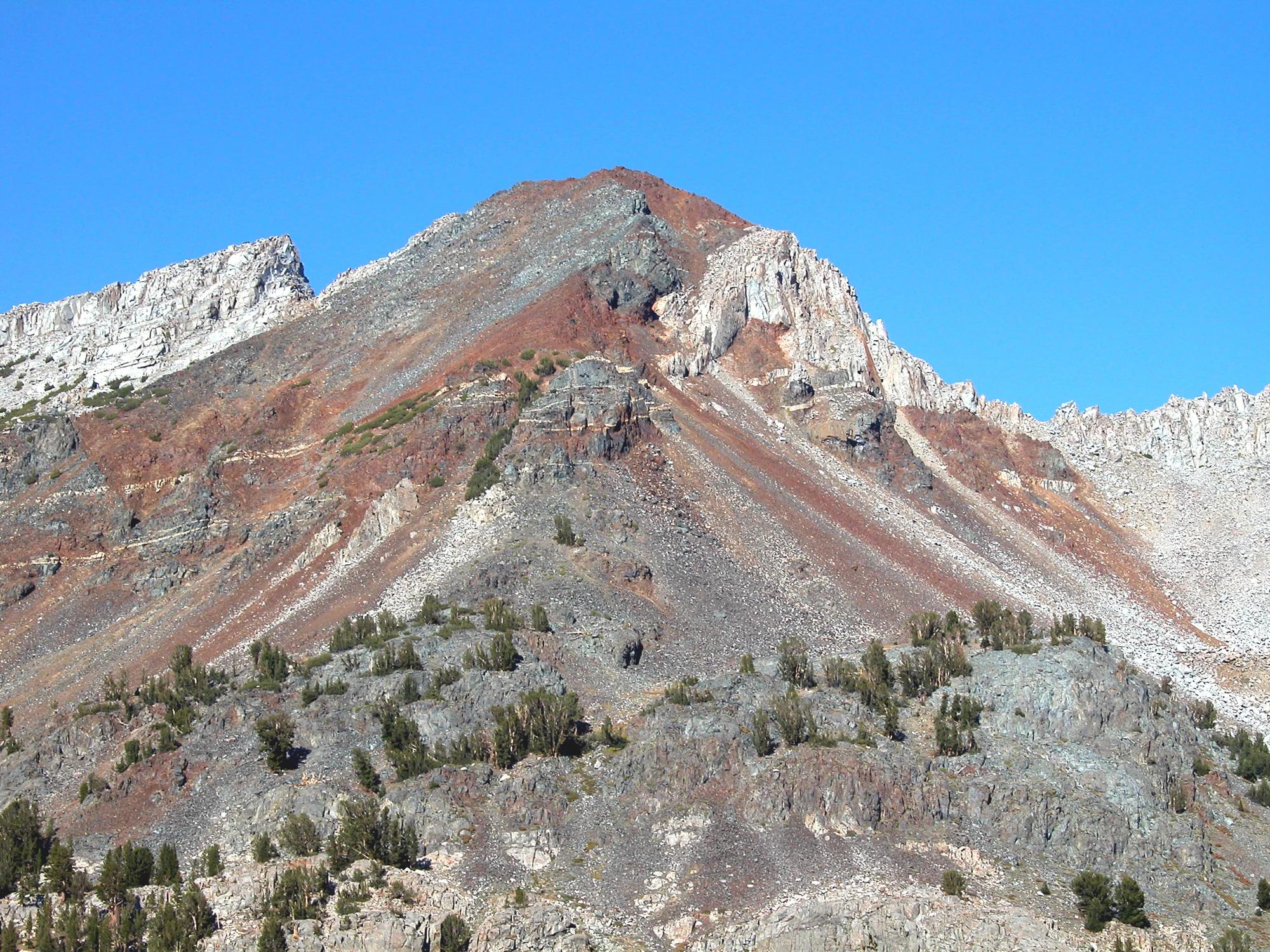
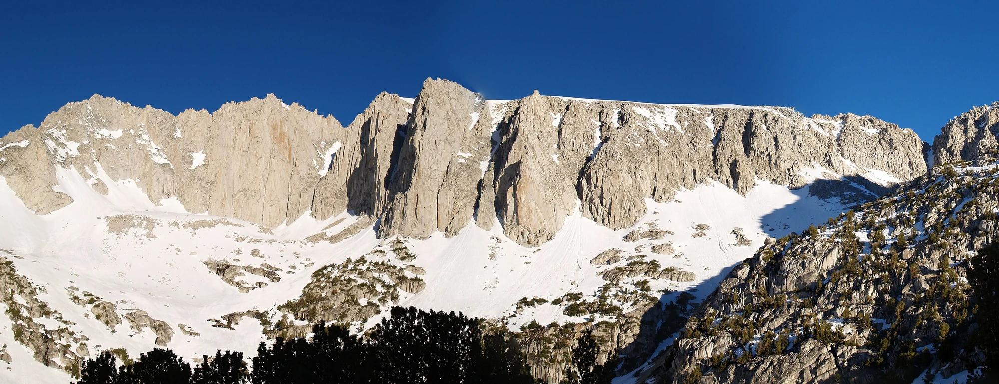
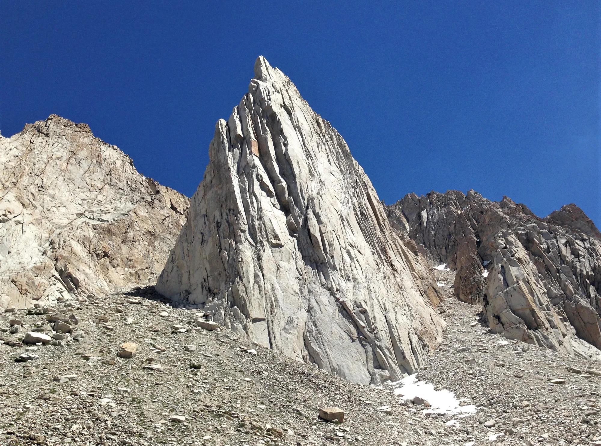
Inyo National Forest · Yosemite & Central Sierra
Verified California peak at 11,759 ft in Inyo National Forest (Yosemite & Central Sierra).
Photo: Feist, Michael - FunnyFence - catchthefuture · CC BY-SA 2.0
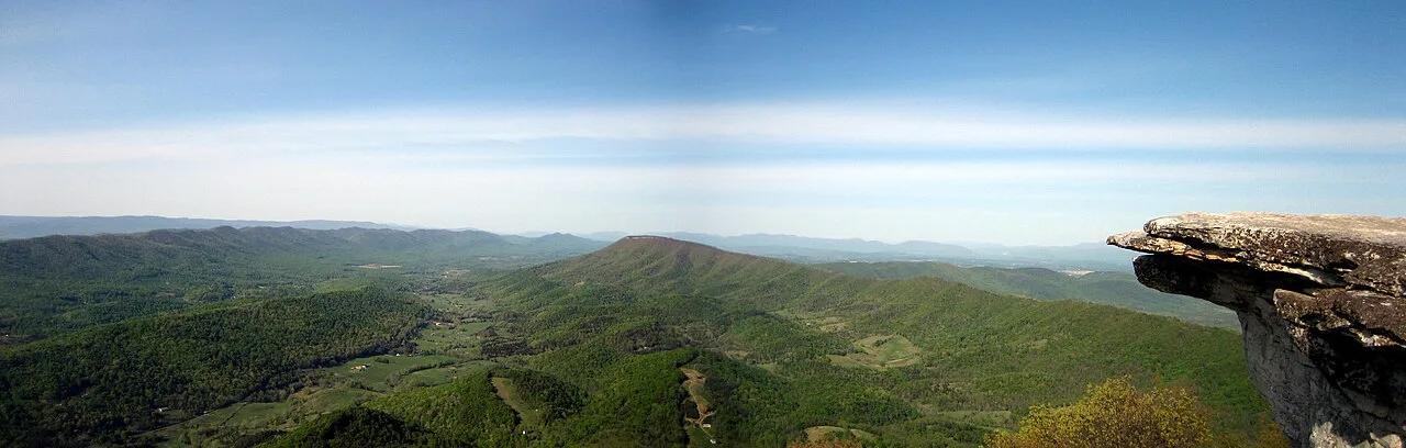
Jefferson National Forest (Catawba) · Appalachian & Blue Ridge · Virginia
35-foot vertical spire of Tuscarora quartzite jutting from the knife-edge crest of Cove Mountain along Virginia's Triple Crown.
Photo: Something Original (talk) · CC BY-SA 3.0
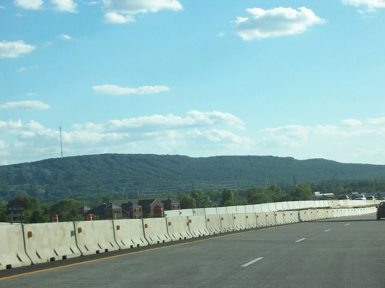
Rib Mountain State Park · Central Wisconsin · Wisconsin
Ancient 1.7-billion-year-old quartzite monadnock rising 800 feet above the Wisconsin River plains, offering 30-mile vistas from its historic observation tower.
Photo: User:Royalbroil · CC BY-SA 2.5
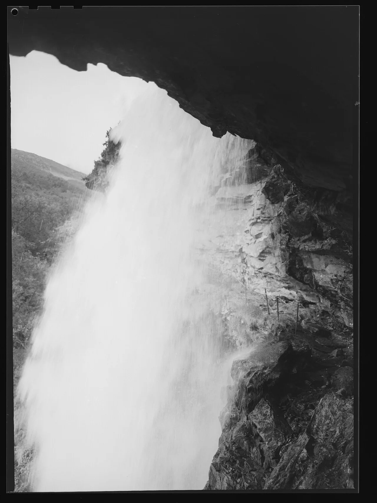
West Norwegian Fjords UNESCO World Heritage · Nordic & Arctic · Norway
Sherpa-built stone steps above Geirangerfjord leading to a thundering alpine waterfall with a safe rock ledge directly behind the curtain.
Photo: Jac Brun · Public domain
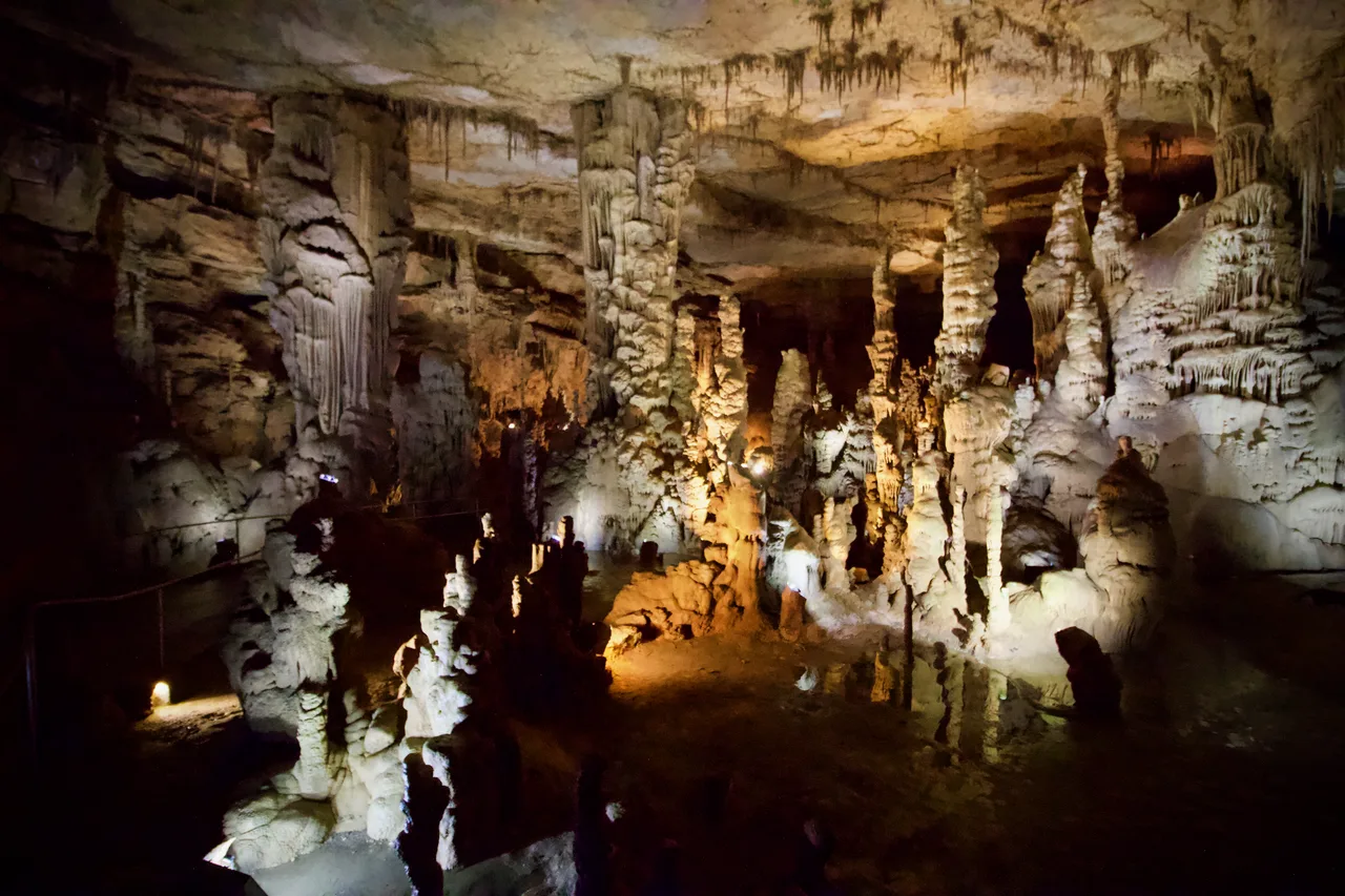
Cathedral Caverns State Park (Woodville) · Appalachian & Blue Ridge · Alabama
Massive 126-foot-wide, 25-foot-high cavern entrance opening into a subterranean limestone canyon housing a 45-foot stalagmite and underground waterfall.
Photo: Diegoandrade · CC BY-SA 4.0
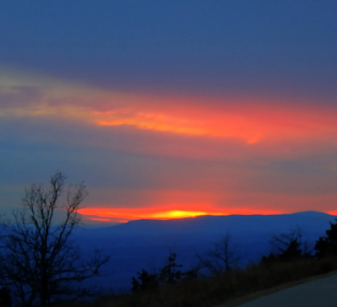
Mount Magazine State Park (Ozark-St. Francis NF) · South & Gulf Coast · Arkansas
Highest point in Arkansas (2,753 ft) crowned by sheer sandstone hang-gliding cliffs overlooking the Petit Jean River Valley.
Photo: Yinan Chen · Public domain
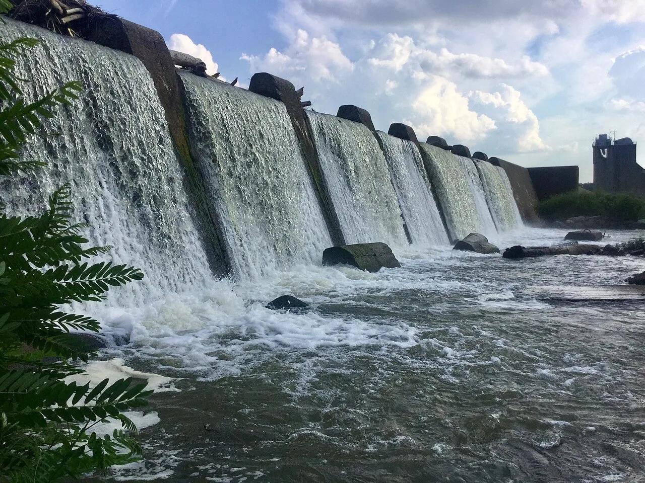
Falls of the Ohio State Park · Ohio River / Clarksville · Indiana
One of the world's largest naturally exposed 390-million-year-old Devonian fossil coral beds, accessible directly on foot across Ohio River limestone ledges.
Photo: Darkstarcrashes · CC BY-SA 4.0
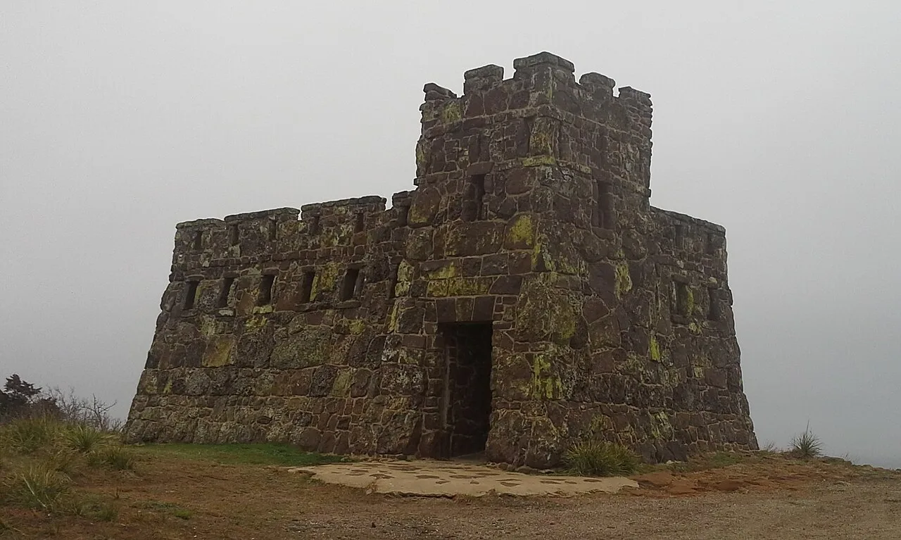
Coronado Heights Park (Lindsborg) · Smoky Hills · Kansas
WPA sandstone castle perched 300 feet above the Smoky Hill River valley where Spanish explorer Coronado looked in vain for the golden Seven Cities of Cíbola.
Photo: Swampyank · CC BY-SA 3.0
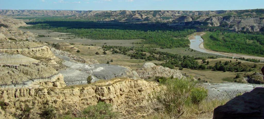
Little Missouri State Park (Killdeer) · Great Plains & Heartland · North Dakota
6,400 acres of rugged badlands hoodoos, bentonite clay domes, and juniper coulees overlooking the winding Little Missouri River.
Photo: National Park Service; uploaded by User:Finetooth · Public domain
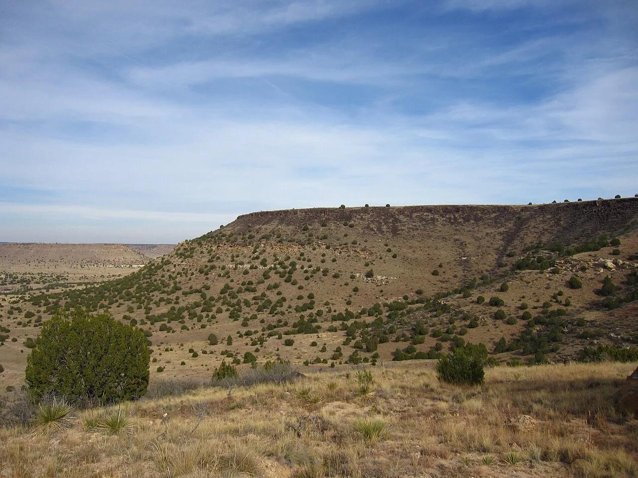
Black Mesa State Park & Nature Preserve (Kenton) · Panhandle · Oklahoma
The highest point in Oklahoma (4,973 feet) atop a dramatic black basalt volcanic lava flow mesa on the tri-state border with Colorado and New Mexico.
Photo: Chris M · CC BY 2.0
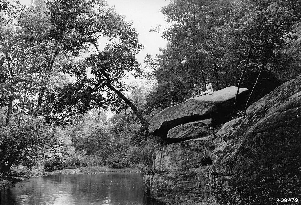
Shawnee National Forest (Ozark) · Southern Illinois / Shawnee · Illinois
Spectacular sandstone canyon featuring clear stream swimming pools, a 125-foot natural stone bridge, and the soaring fin of Devil's Backbone.
Photo: Unknown authorUnknown author or not provided · Public domain
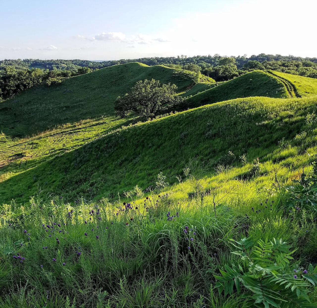
Hitchcock Nature Center (Pottawattamie County) · Loess Hills · Iowa
Knife-edge windblown silt ridges rising 200 feet above the Missouri River floodplain, famous for fall raptor migrations and HawkWatch tower views.
Photo: cassi saari · CC BY-SA 4.0
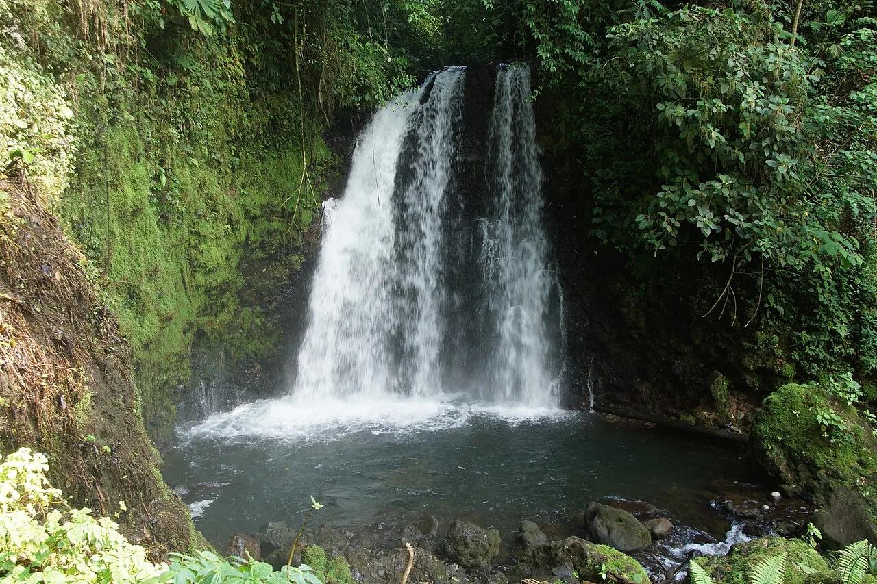
Tenorio Volcano National Park · Mexico & Central America · Costa Rica
Cloud-forest waterfall plunging into a neon sky-blue lagoon where two volcanic mineral rivers mix at the Teñideros.
Photo: rob Stoeltje from loenen, netherlands · CC BY 2.0
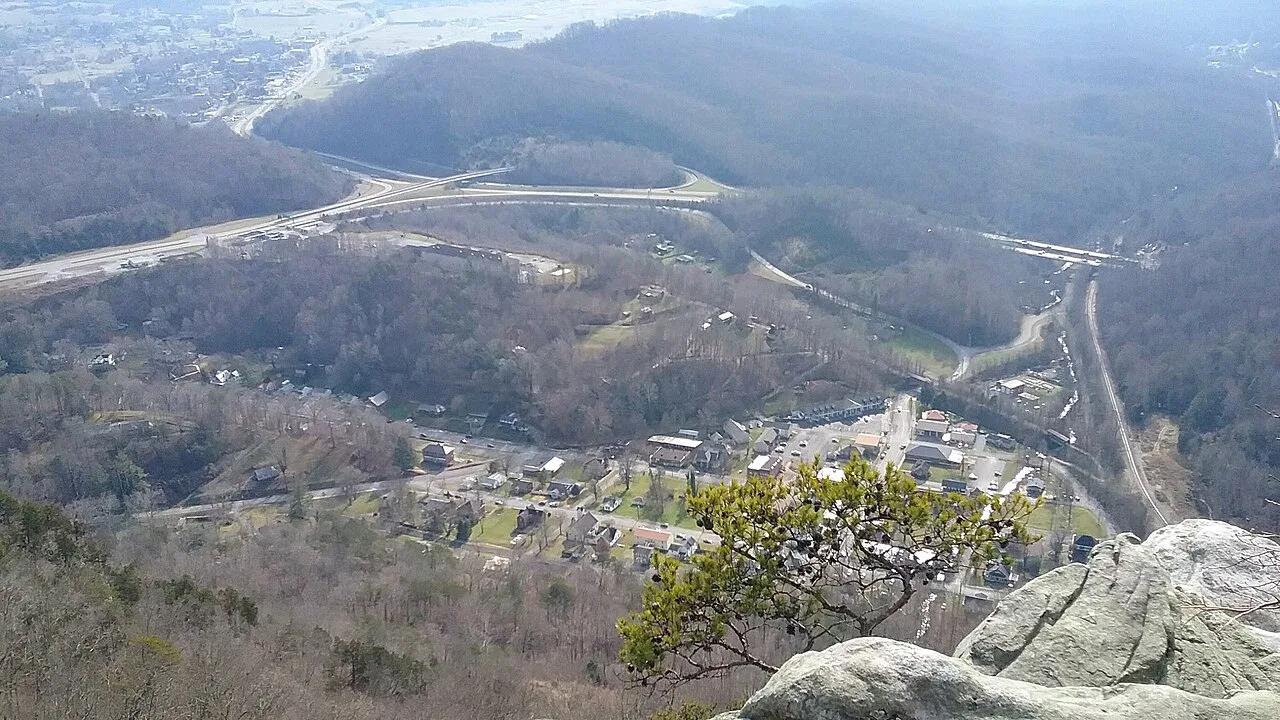
Cumberland Gap National Historical Park · Appalachian & Blue Ridge · Kentucky
2,440-foot limestone cliff overlook above the historic Wilderness Road gap where Kentucky, Virginia, and Tennessee meet.
Photo: Bneu2013 · CC BY-SA 4.0
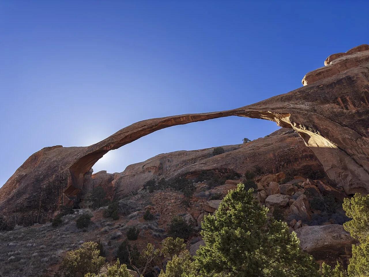
Arches National Park (Moab) · Colorado Plateau · Utah
Slickrock sandstone fins connecting eight natural arches—anchored by 306-foot Landscape Arch, the longest natural rock span in North America.
Photo: GyozaDumpling · CC BY 4.0
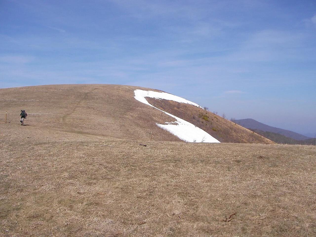
Pisgah National Forest · Appalachian & Blue Ridge · North Carolina
350-acre open mountaintop meadow along the Appalachian Trail offering unobstructed views from Mount Mitchell to the Great Smoky Mountains.
Photo: User:Washedwithblood7 · Public domain