Cheaha State Park / Talladega National Forest · South & Gulf Coast · Alabama
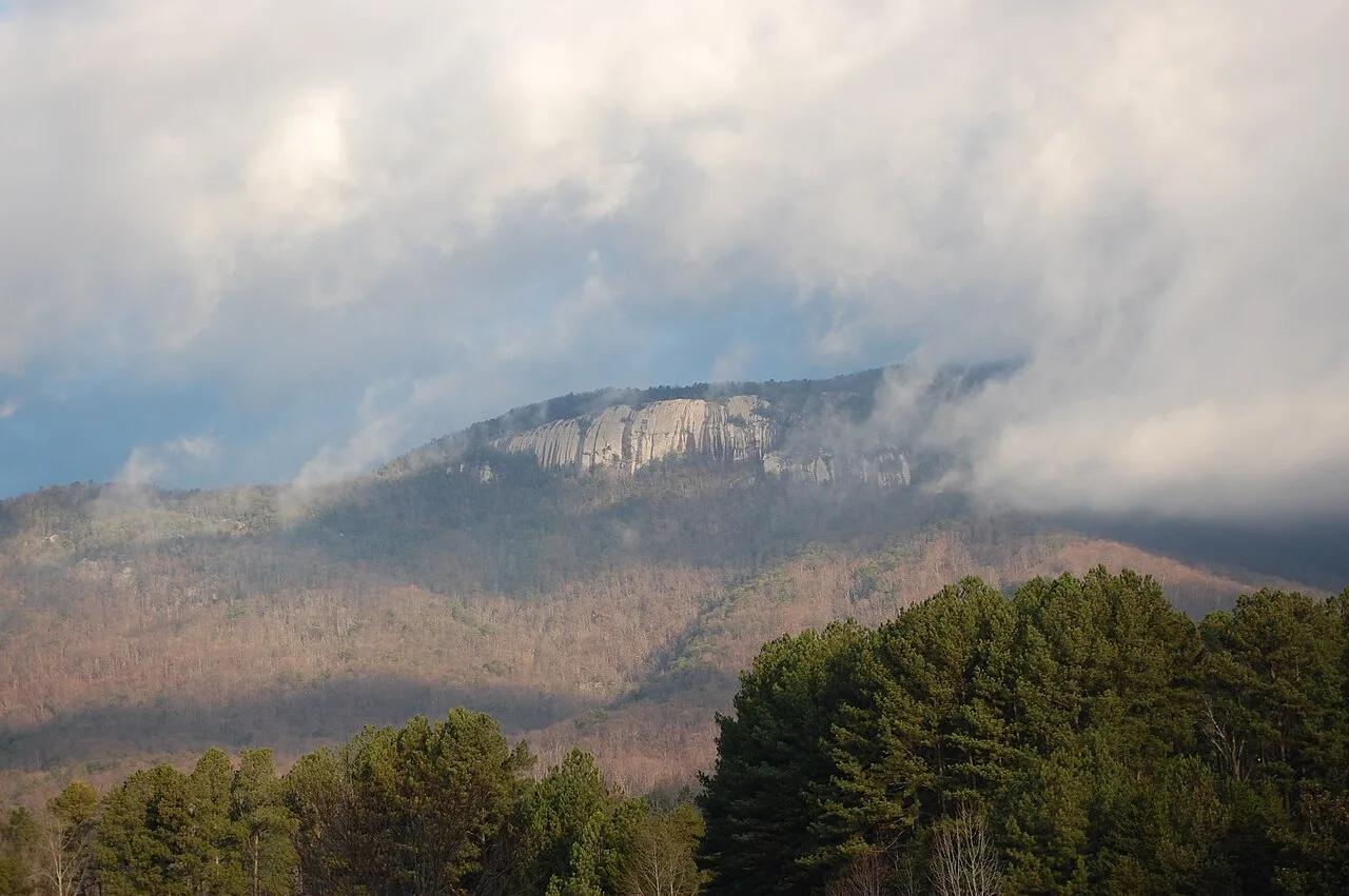
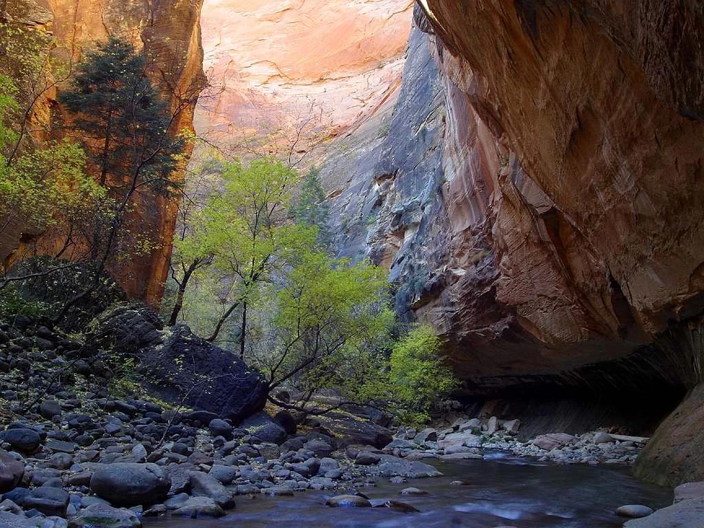
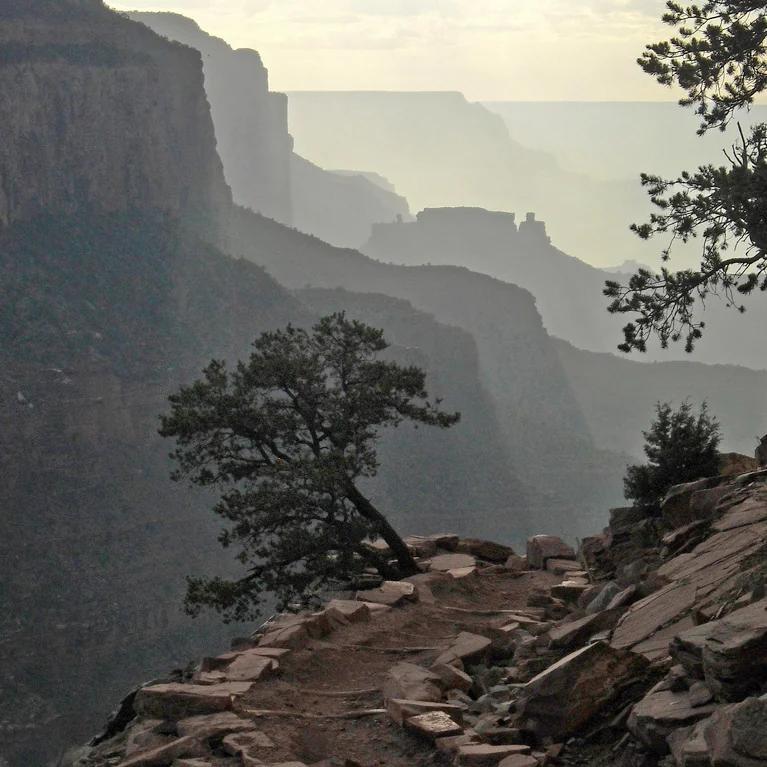
Mount Cheaha & Pulpit Rock Overlook
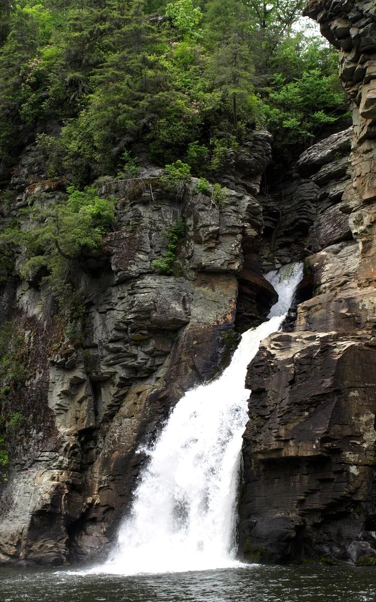
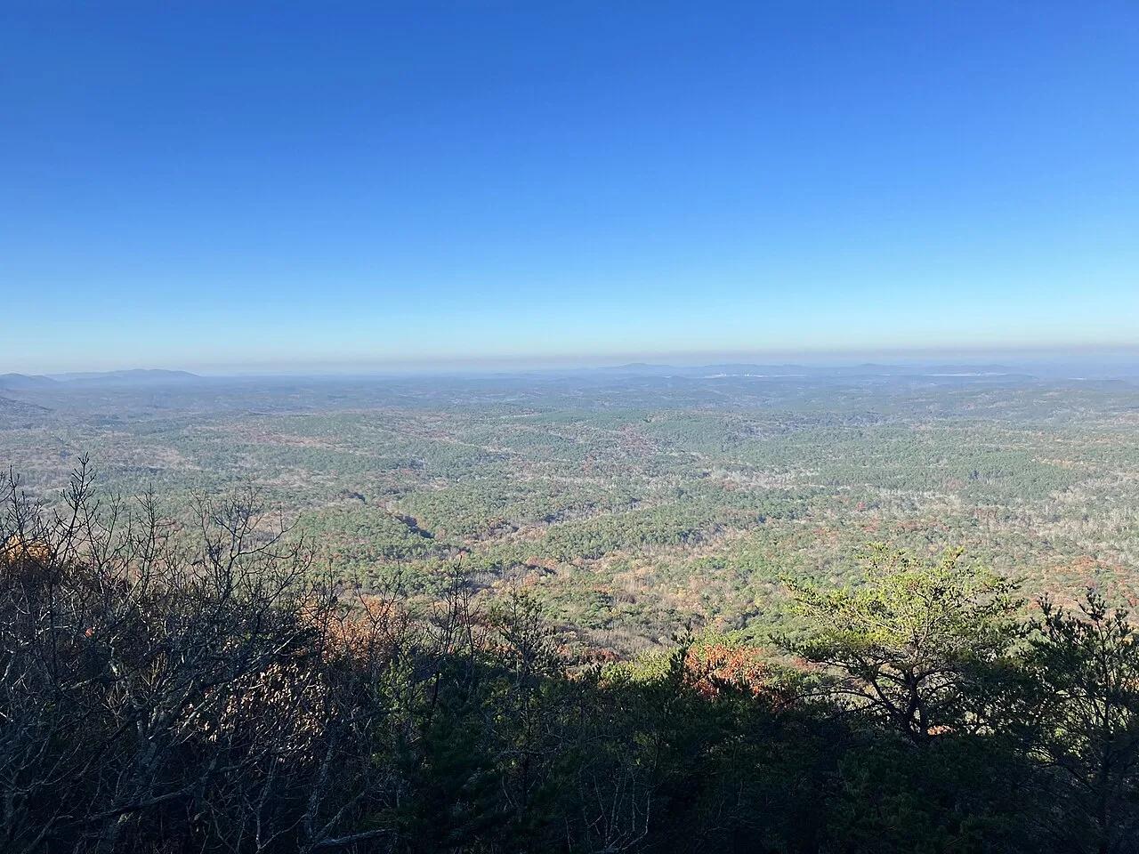
The highest point in Alabama—quartzite cliff ledges looking out across the unbroken Talladega National Forest.
- Route
- 1.4 mi
- Climb
- 213 ft
Browse & Discover
Overlooks, natural arches, sea caves, groves and wildlife reserves.
994 of 2,051 places
Drag to pan. Double-click, pinch or scroll to zoom. Keyboard: arrow keys and +/−. Cards below remain available.
Loading map… Browse the spot cards below at any time.

Joshua Tree National Park
A short desert trail to the historic Barker Dam water-storage structure in Joshua Tree National Park.
Hannah Schwalbe / NPS · Public domain. Source & image licence

Eaton Canyon Natural Area
The waterfall at the head of lower Eaton Canyon, reached by a wide wash walk from the Eaton Canyon Nature Center and a final creekside scramble.
[scott.medling or en:user:scott.medling user:scott.medling from California, United States] · CC BY-SA 2.0. Source & image licence

Angeles National Forest
The ruined mountain resort of the Mount Lowe Railway, on a front-range promontory above Altadena at the top of the Lower Sam Merrill Trail.
Lennonrodgers at en.wikipedia · Public domain. Source & image licence

Escondido Canyon Park
A multi-tiered waterfall in Escondido Canyon above Malibu. The maintained trail ends at the base of the mossy lower tier.
Santa Monica Mountains National Recreation Area · Public domain. Source & image licence

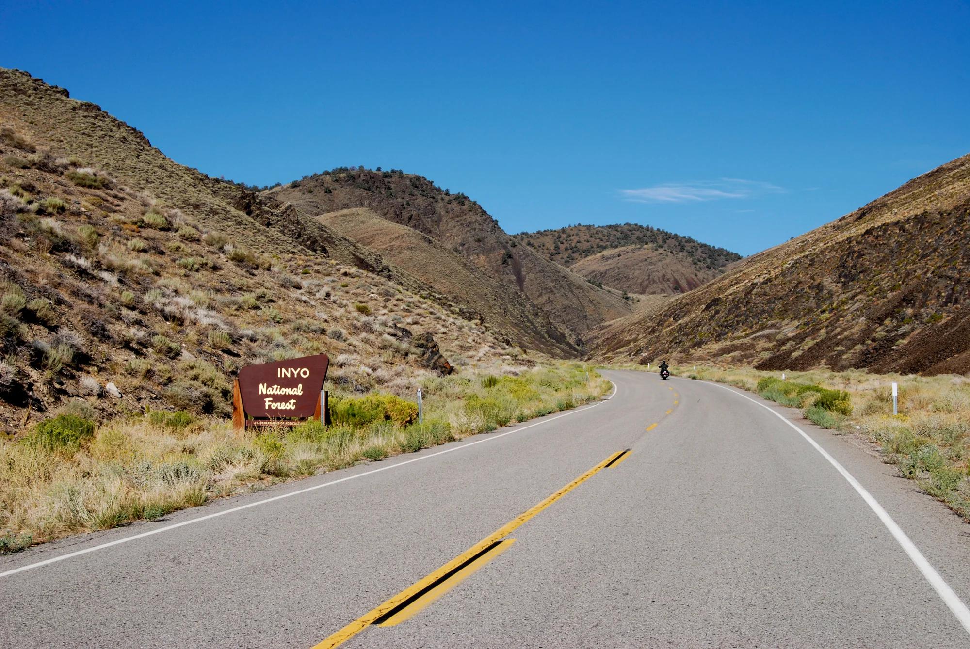
Inyo National Forest
A chain of small alpine lakes at the head of Little Lakes Valley in the John Muir Wilderness, below the 13,000-foot peaks of the Bear Creek Spire cirque.
Jane S. Richardson (talk · contribs) · CC BY-SA 3.0. Source & image licence

Mount Tamalpais Watershed
A winter-and-spring cascade on Cataract Creek just below the Laurel Dell picnic area, reached downhill along the Cataract Trail from Rock Spring.
Richard Wood · CC BY-SA 3.0. Source & image licence

Joshua Tree National Park
One of the best-preserved stamp mills in Joshua Tree National Park, at the site of the Lost Horse gold mine.
Joseph from Cabin On The Road, USA · CC BY-SA 2.0. Source & image licence

Angeles National Forest
A waterfall of about fifty feet filling the head of a narrow, shaded canyon, a short walk upstream from Millard Campground.
Region 5 Photography · Public domain. Source & image licence

Inyo National Forest
A quiet lake in the Ansel Adams Wilderness beneath Parker Peak, reached through sage and an aspen-lined creek canyon off the June Lake Loop.
Mark Gunn from Novato, California, USA · CC BY 2.0. Source & image licence

Pfeiffer Big Sur State Park
A 60-foot waterfall on Pfeiffer-Redwood Creek, reached through the redwoods of Pfeiffer Big Sur State Park on a trail twice rebuilt — after the 2008 Basin Complex Fire and again after 2023 storm damage.
Joe Mabel · CC BY-SA 4.0. Source & image licence

Angeles National Forest
A 50-foot single drop into a shallow plunge pool, 1.7 mi up Big Santa Anita Canyon. Shaded the entire way in. The work is all on the walk out.
U.S. Department of Agriculture / USDA USFS · CC BY 2.0. Source & image licence

Santa Monica Mountains National Recreation Area
The ruins of the Roberts family ranch house at the end of the canyon-floor trail in Solstice Canyon, beside a small seasonal waterfall.
George Heras / Santa Monica Mountains National Recreation Area · Public domain. Source & image licence

Pfeiffer Big Sur State Park
An overlook above the Big Sur River valley, looking north over the redwoods toward Point Sur and the Pacific.
King of Hearts · CC BY-SA 3.0. Source & image licence

Ozark-St. Francis National Forest · South & Gulf Coast · Arkansas
Iconic beak-shaped sandstone prow jutting 100 feet out over the forested Upper Buffalo Wilderness of the Ozark Mountains.
Photo: Tony Webster from Minneapolis, Minnesota, United States · CC BY-SA 2.0

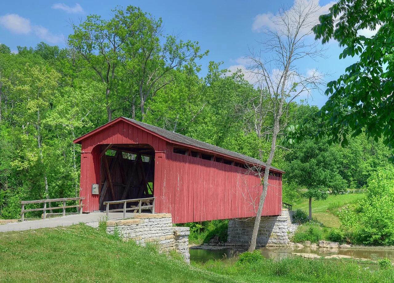
Cataract Falls State Recreation Area (Cagles Mill Lake) · Central Indiana · Indiana
The largest waterfall by water volume in Indiana, dropping over Upper and Lower tiered limestone ledges spanned by a historic 1876 covered bridge.
Photo: Rodney Campbell · CC BY 2.0

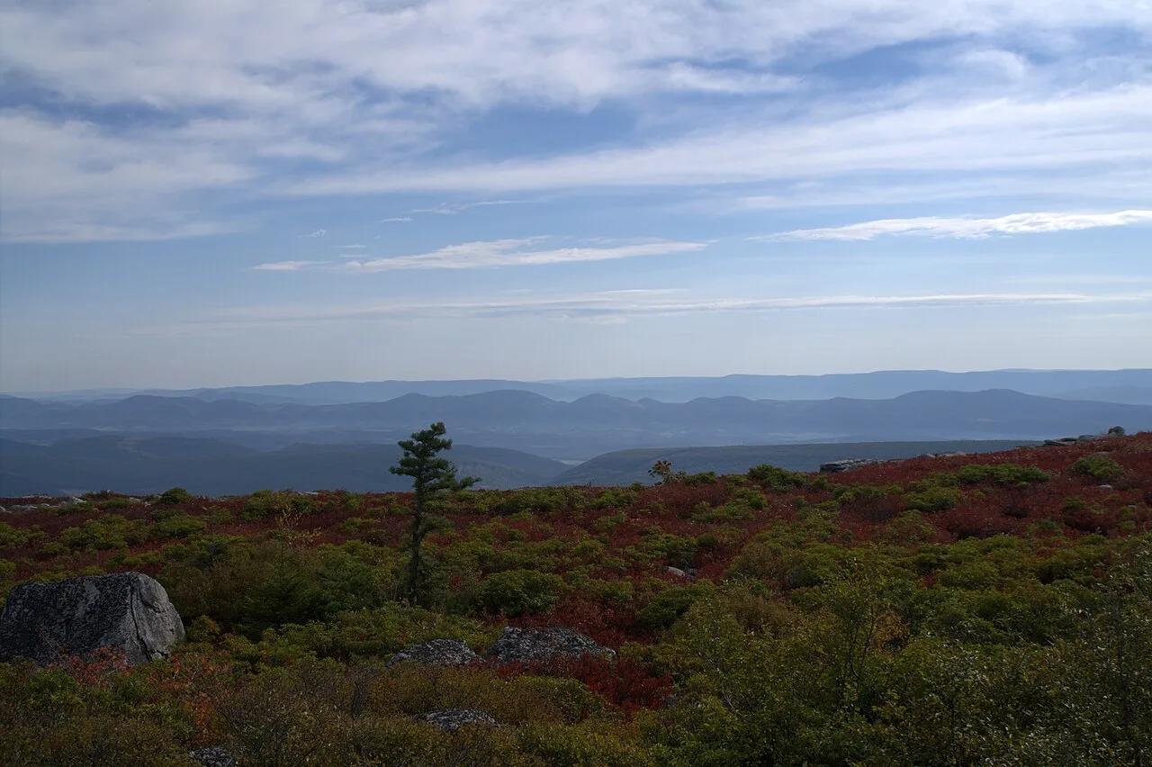
Dolly Sods Wilderness (Monongahela NF) · Appalachian & Blue Ridge · West Virginia
Sub-arctic Canadian tundra plateau at 4,000 feet featuring wind-flagged one-sided red spruces, blueberry barrens, and puddingstone boulders.
Photo: Aneta Kaluzna · CC BY-SA 2.5

Ha Ha Tonka State Park · Midwest & Great Lakes · Missouri
Turquoise Ozark karst spring, sinkholes, natural bridge, and stone castle ruins perched 250 feet above the Lake of the Ozarks.
Photo: Paul Knittel from St. Louis, United States · CC BY 2.0

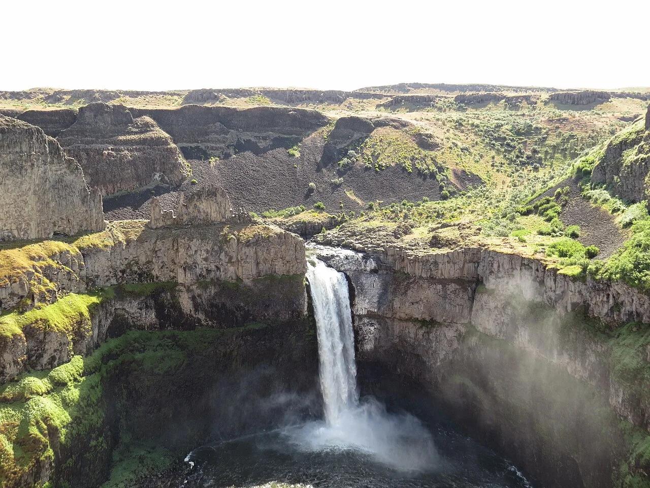
Palouse Falls State Park (LaCrosse) · Pacific Northwest · Washington
Washington's official state waterfall—a 198-foot cataract plunging into a circular Missoula Floods columnar basalt amphitheater.
Photo: Mcjenkins · CC BY-SA 4.0

Acadia National Park · New England & Adirondacks · Maine
Traces pink granite coastal headlands from Sand Beach past the booming sea-surge of Thunder Hole to Otter Cliff.
Photo: w:User:Michael180 (User:ThePlaz on Commons) · CC BY-SA 2.5

Samaria National Park · Mediterranean & Iberia · Greece
Europe's longest limestone canyon, descending from the Omalos plateau through the famous 'Iron Gates' pinch to the Libyan Sea at Agia Roumeli.
Photo: Robert Linsdell from St. Andrews, Canada · CC BY 2.0