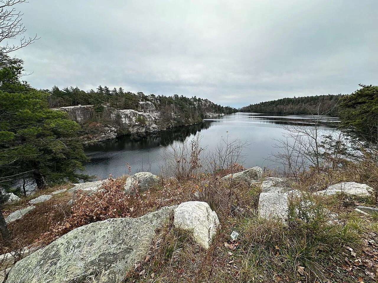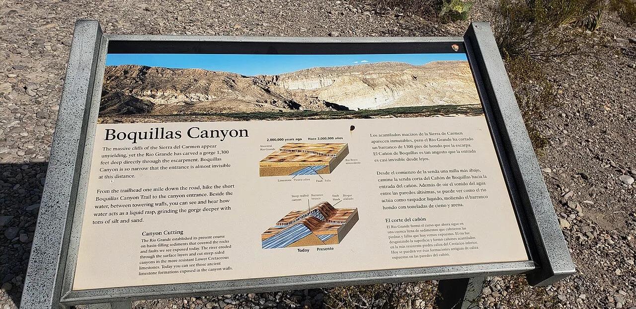
Canyon
Big Bend National Park · Big Bend · Texas
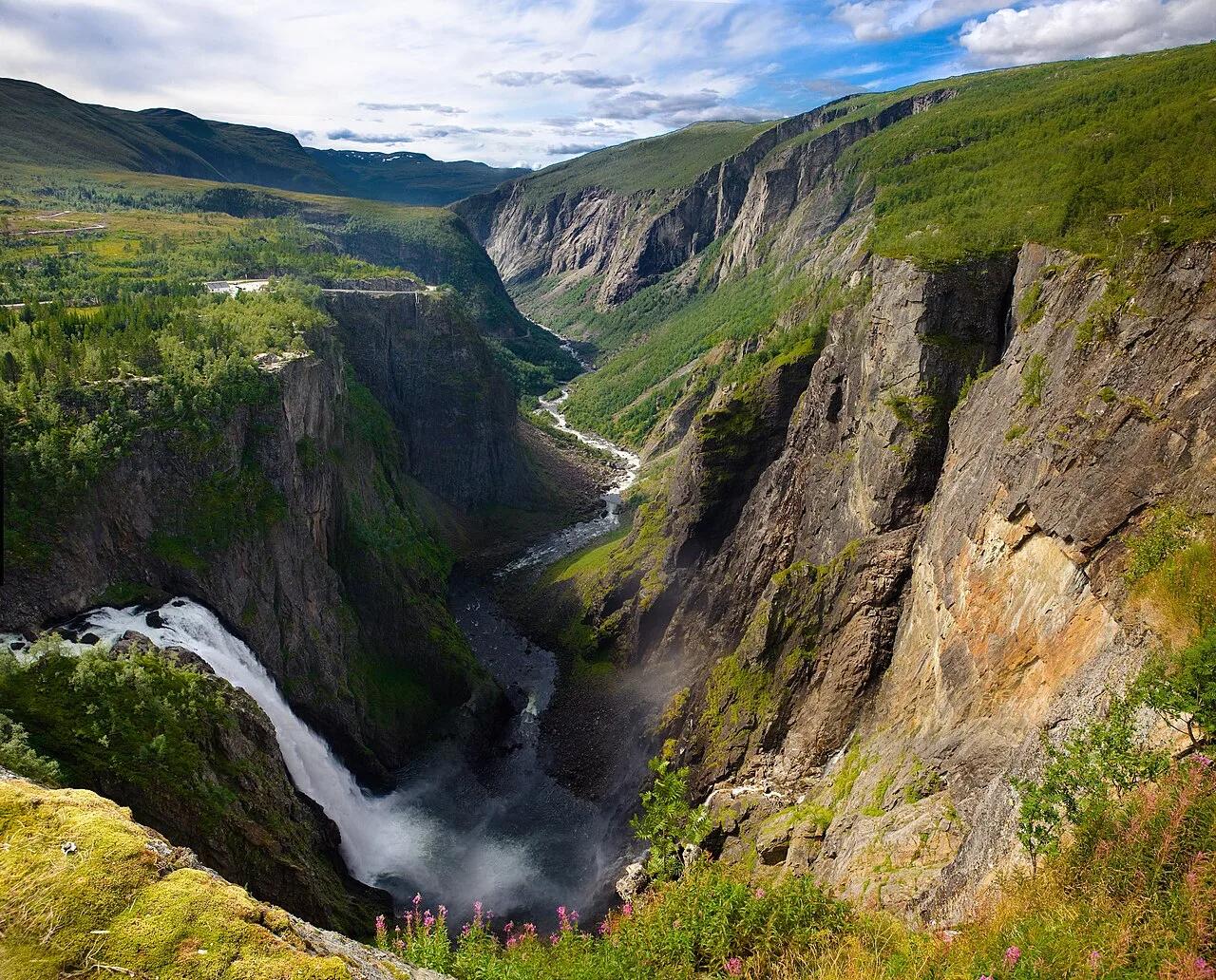
Boquillas Canyon & Rio Grande
Towering 1,200-foot limestone cliffs framing the Rio Grande border waters, deep caves, and golden sand dunes at the eastern end of the park.
- Route
- 1.5 mi
- Climb
- 230 ft
Browse & Discover
Overlooks, natural arches, sea caves, groves and wildlife reserves.
994 of 2,051 places
Drag to pan. Double-click, pinch or scroll to zoom. Keyboard: arrow keys and +/−. Cards below remain available.
Loading map… Browse the spot cards below at any time.

Joshua Tree National Park
A short desert trail to the historic Barker Dam water-storage structure in Joshua Tree National Park.
Hannah Schwalbe / NPS · Public domain. Source & image licence

Eaton Canyon Natural Area
The waterfall at the head of lower Eaton Canyon, reached by a wide wash walk from the Eaton Canyon Nature Center and a final creekside scramble.
[scott.medling or en:user:scott.medling user:scott.medling from California, United States] · CC BY-SA 2.0. Source & image licence

Angeles National Forest
The ruined mountain resort of the Mount Lowe Railway, on a front-range promontory above Altadena at the top of the Lower Sam Merrill Trail.
Lennonrodgers at en.wikipedia · Public domain. Source & image licence

Escondido Canyon Park
A multi-tiered waterfall in Escondido Canyon above Malibu. The maintained trail ends at the base of the mossy lower tier.
Santa Monica Mountains National Recreation Area · Public domain. Source & image licence

Inyo National Forest
A chain of small alpine lakes at the head of Little Lakes Valley in the John Muir Wilderness, below the 13,000-foot peaks of the Bear Creek Spire cirque.
Jane S. Richardson (talk · contribs) · CC BY-SA 3.0. Source & image licence

Mount Tamalpais Watershed
A winter-and-spring cascade on Cataract Creek just below the Laurel Dell picnic area, reached downhill along the Cataract Trail from Rock Spring.
Richard Wood · CC BY-SA 3.0. Source & image licence

Joshua Tree National Park
One of the best-preserved stamp mills in Joshua Tree National Park, at the site of the Lost Horse gold mine.
Joseph from Cabin On The Road, USA · CC BY-SA 2.0. Source & image licence

Angeles National Forest
A waterfall of about fifty feet filling the head of a narrow, shaded canyon, a short walk upstream from Millard Campground.
Region 5 Photography · Public domain. Source & image licence

Inyo National Forest
A quiet lake in the Ansel Adams Wilderness beneath Parker Peak, reached through sage and an aspen-lined creek canyon off the June Lake Loop.
Mark Gunn from Novato, California, USA · CC BY 2.0. Source & image licence

Pfeiffer Big Sur State Park
A 60-foot waterfall on Pfeiffer-Redwood Creek, reached through the redwoods of Pfeiffer Big Sur State Park on a trail twice rebuilt — after the 2008 Basin Complex Fire and again after 2023 storm damage.
Joe Mabel · CC BY-SA 4.0. Source & image licence

Angeles National Forest
A 50-foot single drop into a shallow plunge pool, 1.7 mi up Big Santa Anita Canyon. Shaded the entire way in. The work is all on the walk out.
U.S. Department of Agriculture / USDA USFS · CC BY 2.0. Source & image licence

Santa Monica Mountains National Recreation Area
The ruins of the Roberts family ranch house at the end of the canyon-floor trail in Solstice Canyon, beside a small seasonal waterfall.
George Heras / Santa Monica Mountains National Recreation Area · Public domain. Source & image licence

Pfeiffer Big Sur State Park
An overlook above the Big Sur River valley, looking north over the redwoods toward Point Sur and the Pacific.
King of Hearts · CC BY-SA 3.0. Source & image licence
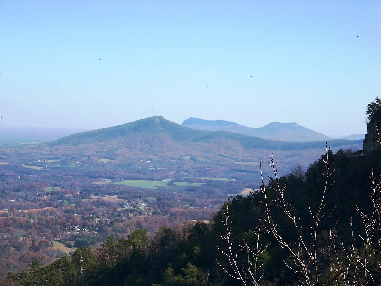
Pilot Mountain State Park · Appalachian & Blue Ridge · North Carolina
Iconic 200-foot circular quartzite monadnock knob crowned by vertical cliffs and vegetated ledges rising 1,400 feet above the Yadkin Valley.
Photo: Idawriter · CC BY-SA 3.0
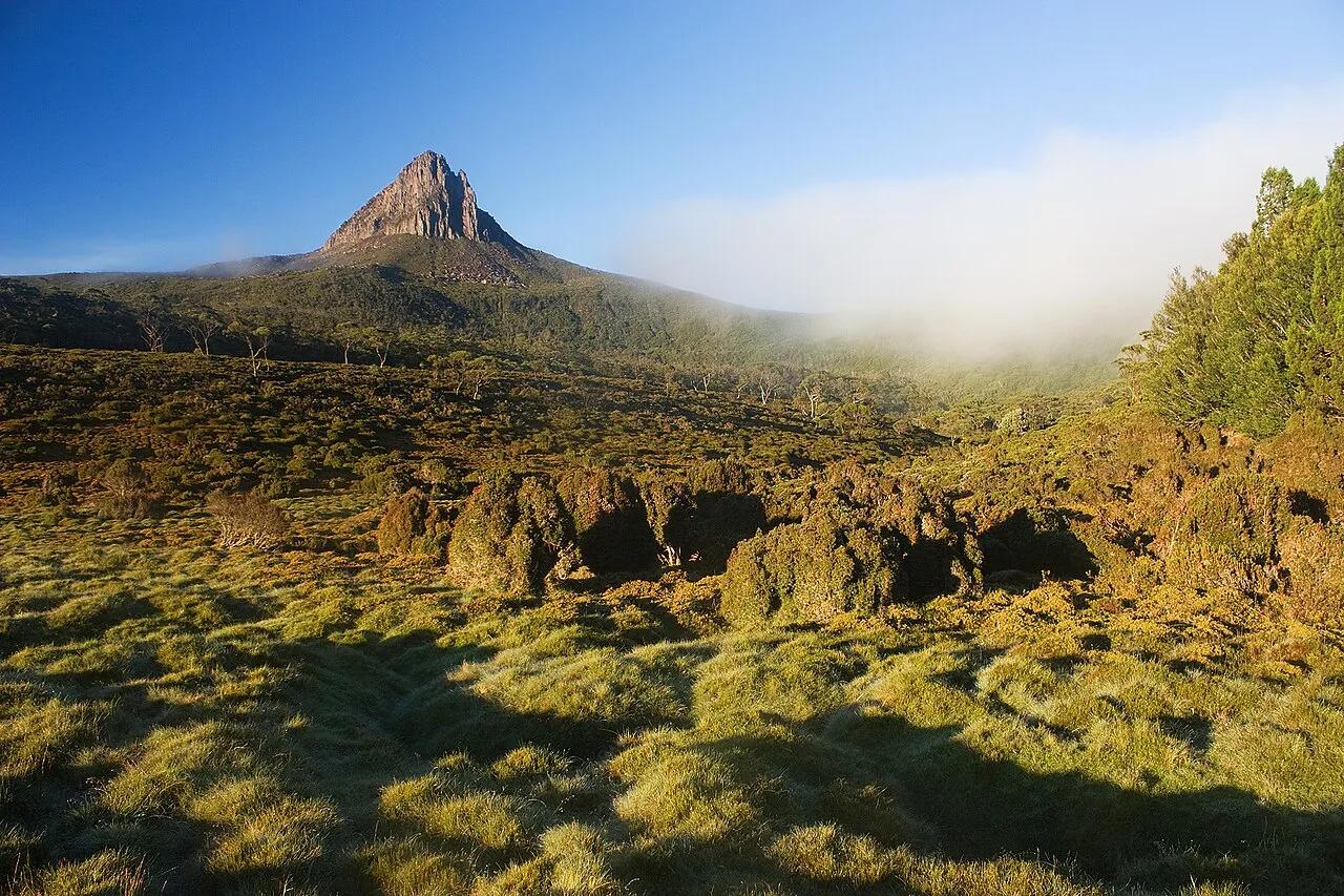
Barn Bluff Park (Red Wing) · Mississippi River Valley · Minnesota
Iconic 340-foot limestone bluff soaring above the Mississippi River with native goat prairie slopes, falcon nesting ledges, and views of Lake Pepin.
Photo: JJ Harrison (https://www.jjharrison.com.au/) · CC BY-SA 3.0
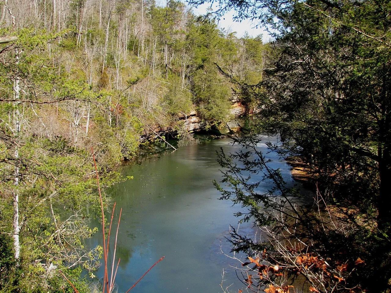
Radnor Lake State Natural Area (Nashville) · Appalachian & Blue Ridge · Tennessee
1,368-acre protected Class II Natural Area sanctuary of car-free lakeside boardwalks, bald eagle observation decks, and steep Overton Hills ridges.
Photo: Brian Stansberry · CC BY 3.0
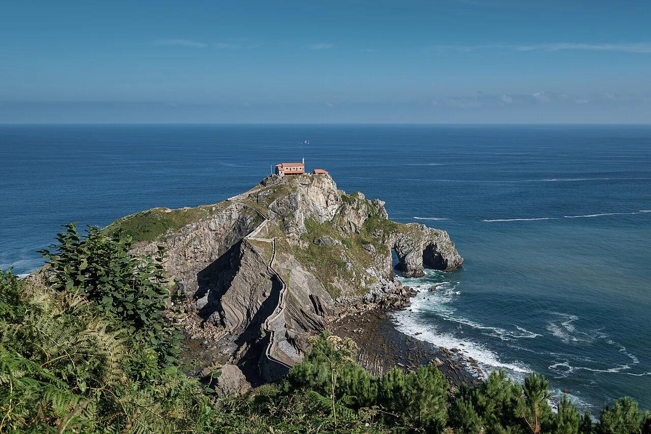
Biotopo Protegido de Gaztelugatxe (Bermeo) · Mediterranean Europe · Spain
241-step stone causeway snaking across wave-battered Bay of Biscay sea arches to a 10th-century island hermitage.
Photo: Jules Verne Times Two · CC BY-SA 4.0
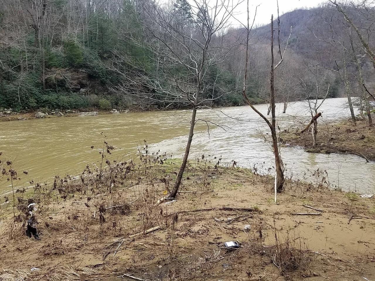
Breaks Interstate Park · Appalachian & Blue Ridge · Virginia
5-mile, 1,600-foot-deep sandstone gorge where the Russell Fork River cuts a horseshoe around the 1,000-foot Pyramid Rock towers.
Photo: Bpluke01 · CC BY-SA 4.0
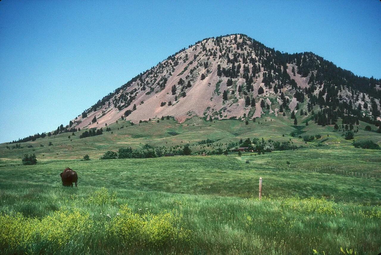
Bear Butte State Park (Sturgis) · Northern Black Hills · South Dakota
Sacred Lakota and Cheyenne volcanic laccolith rising 1,253 feet solitary above the surrounding Great Plains, adorned with prayer cloths.
Photo: JERRYE & ROY KLOTZ MD · CC BY-SA 3.0
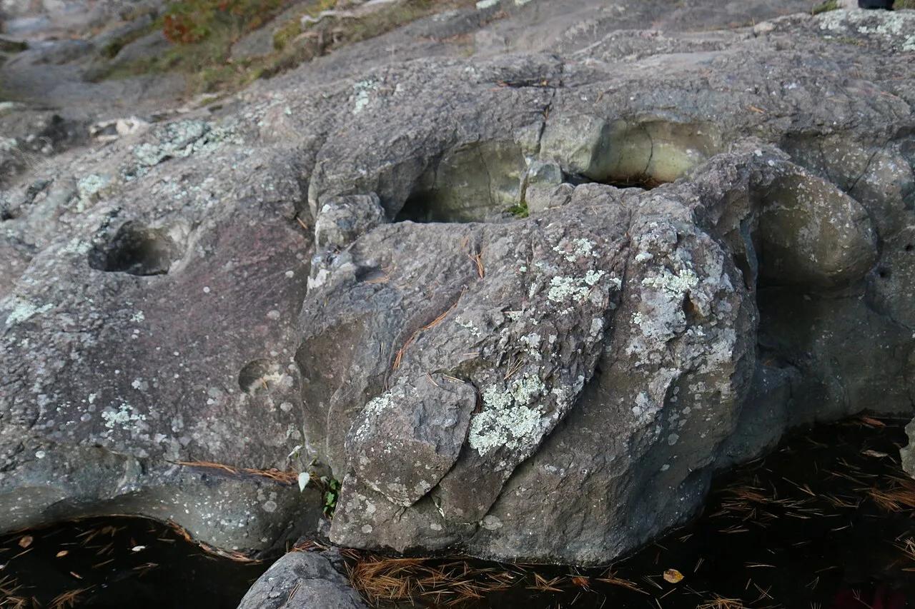
Interstate State Park (Wisconsin) · St. Croix Valley · Wisconsin
Towering columnar basalt Palisades overlooking the St. Croix River gorge, riddled with world-famous swirling glacial potholes ground out by ice age torrents.
Photo: Royalbroil · CC BY-SA 4.0
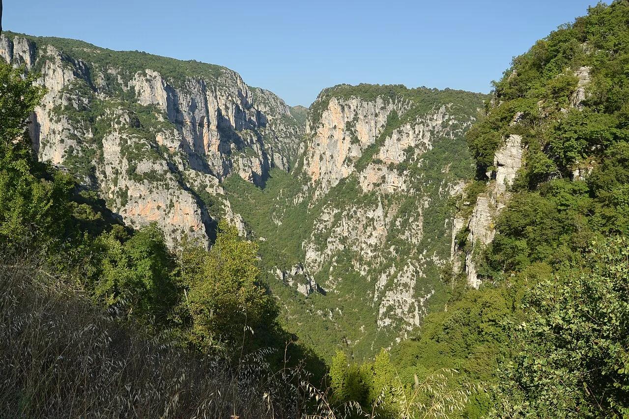
Vikos-Aoös National Park (Pindus Mountains) · Mediterranean Europe · Greece
The world's deepest gorge relative to its width, spanning 1,000-meter limestone walls above the ice-blue Voidomatis River and stone arch bridges.
Photo: Pudelek · CC BY-SA 4.0
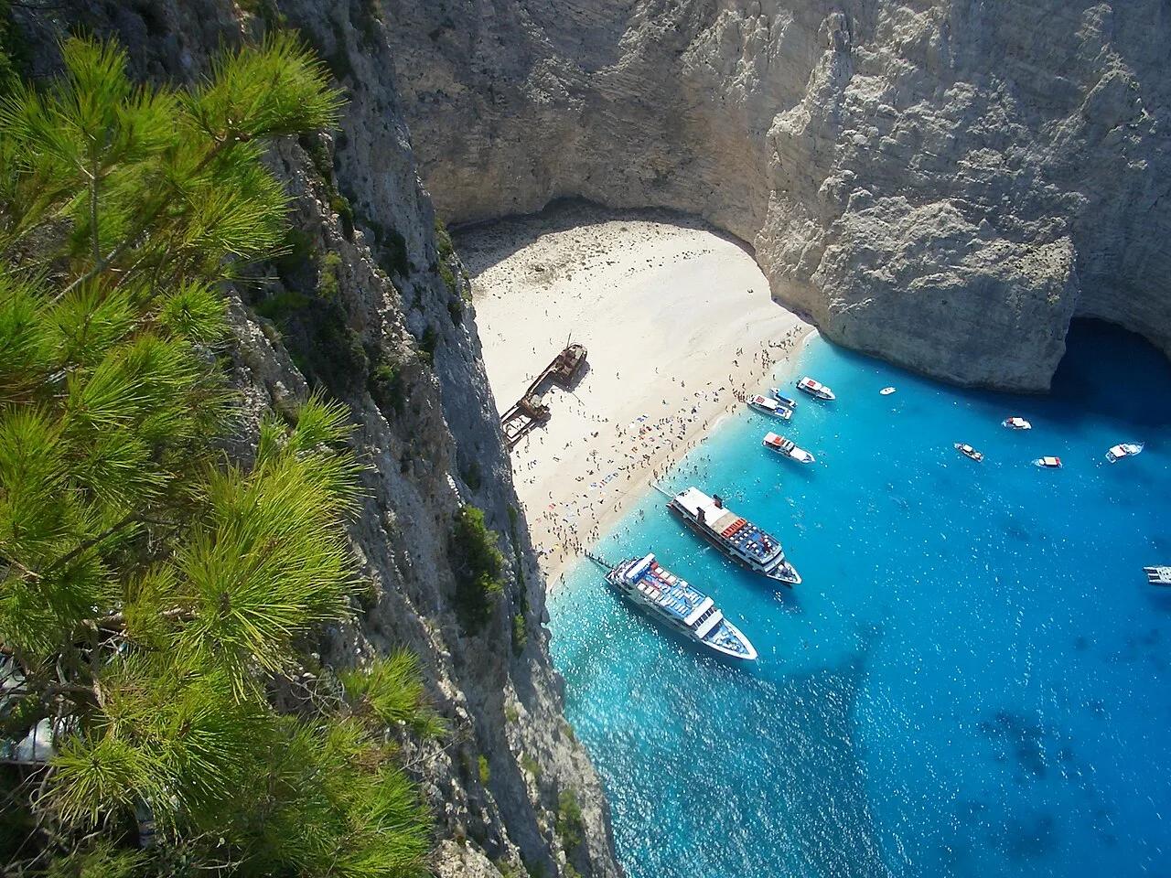
Volimes Northwest Coast · Mediterranean Europe · Greece
650-foot sheer white limestone sea cliffs encircling an electric-blue Ionian cove accessible by clifftop footpath.
Photo: No machine-readable author provided. MGD assumed (based on copyright claims). · Public domain
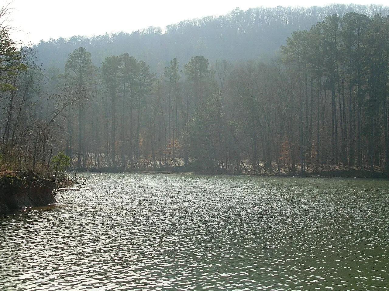
Buck's Pocket State Park (Sand Mountain) · Appalachian & Blue Ridge · Alabama
800-foot sheer sandstone pocket canyon carved into the edge of Sand Mountain overlooking Little Sauty Creek and Lake Guntersville.
Photo: benuski from Richmond, VA, USA · CC BY-SA 2.0
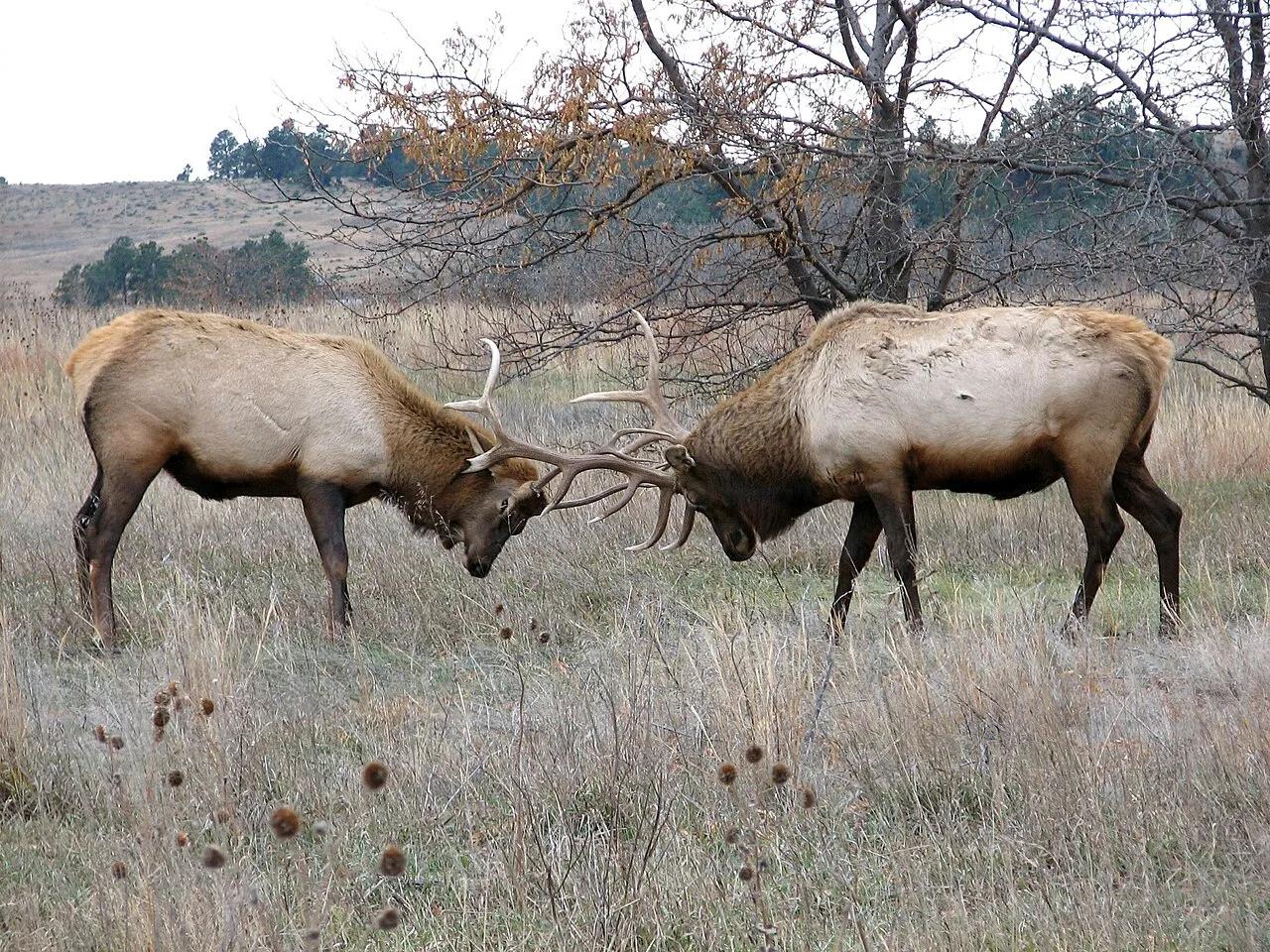
Fort Niobrara National Wildlife Refuge (Valentine) · Great Plains & Heartland · Nebraska
Spring-fed canyon waterfall and easy 9-mile scenic river float past Brule clay cliffs, ponderosa pines, and paper birches.
Photo: U.S. Fish and Wildlife Service Headquarters · Public domain
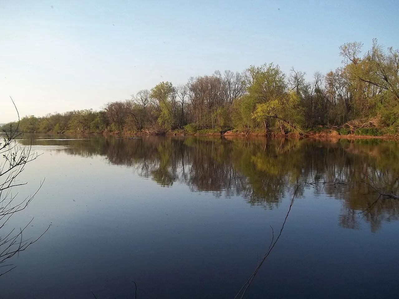
D&R Canal State Park (Princeton to Frenchtown) · Northeast & New England · New Jersey
70-mile crushed-stone linear park bikeway and flatwater canoe canal tracing historic 1830s stone locktender houses.
Photo: Gary Miotla · CC BY 3.0
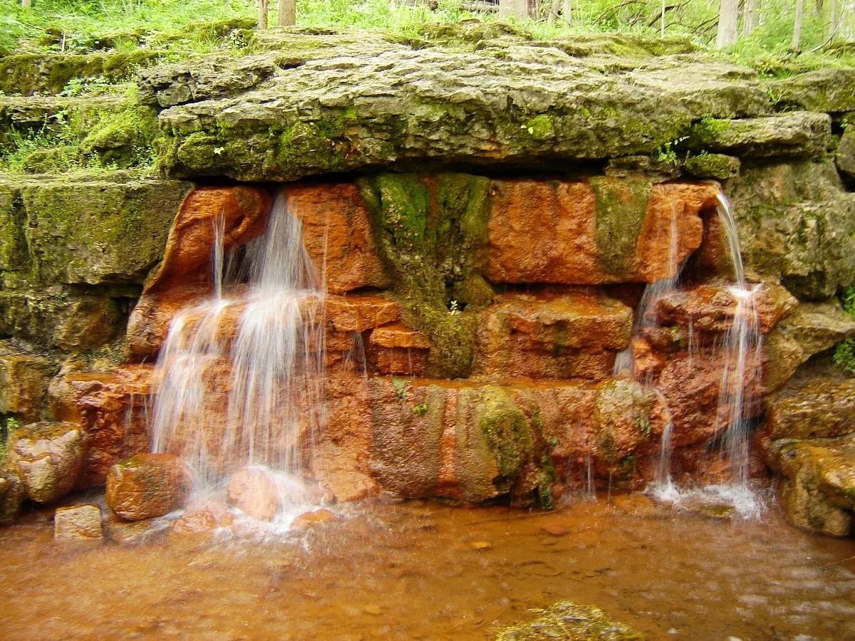
Glen Helen Nature Preserve & John Bryan State Park · Midwest & Great Lakes · Ohio
Iron-rich orange travertine spring mound, Talus Trail limestone cliffs, and Little Miami Scenic Bikeway through a 1,000-acre gorge.
Photo: Ilona Loser · CC BY-SA 3.0
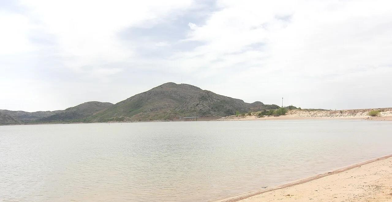
Quartz Mountain State Park (Lone Wolf) · Great Plains & Heartland · Oklahoma
500-million-year-old Cambrian pink granite dome rising above southwestern Oklahoma plains and the sparkling waters of Lake Altus-Lugert.
Photo: Geotechnogeek · CC BY-SA 3.0
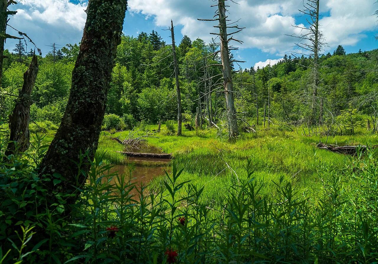
Monongahela National Forest · Appalachian & Blue Ridge · West Virginia
Half-mile raised boardwalk across four boreal-relic sphagnum peat bogs filled with pitcher plants, sundews, and orchids at 3,400 feet.
Photo: Forest Service Photography · Public domain
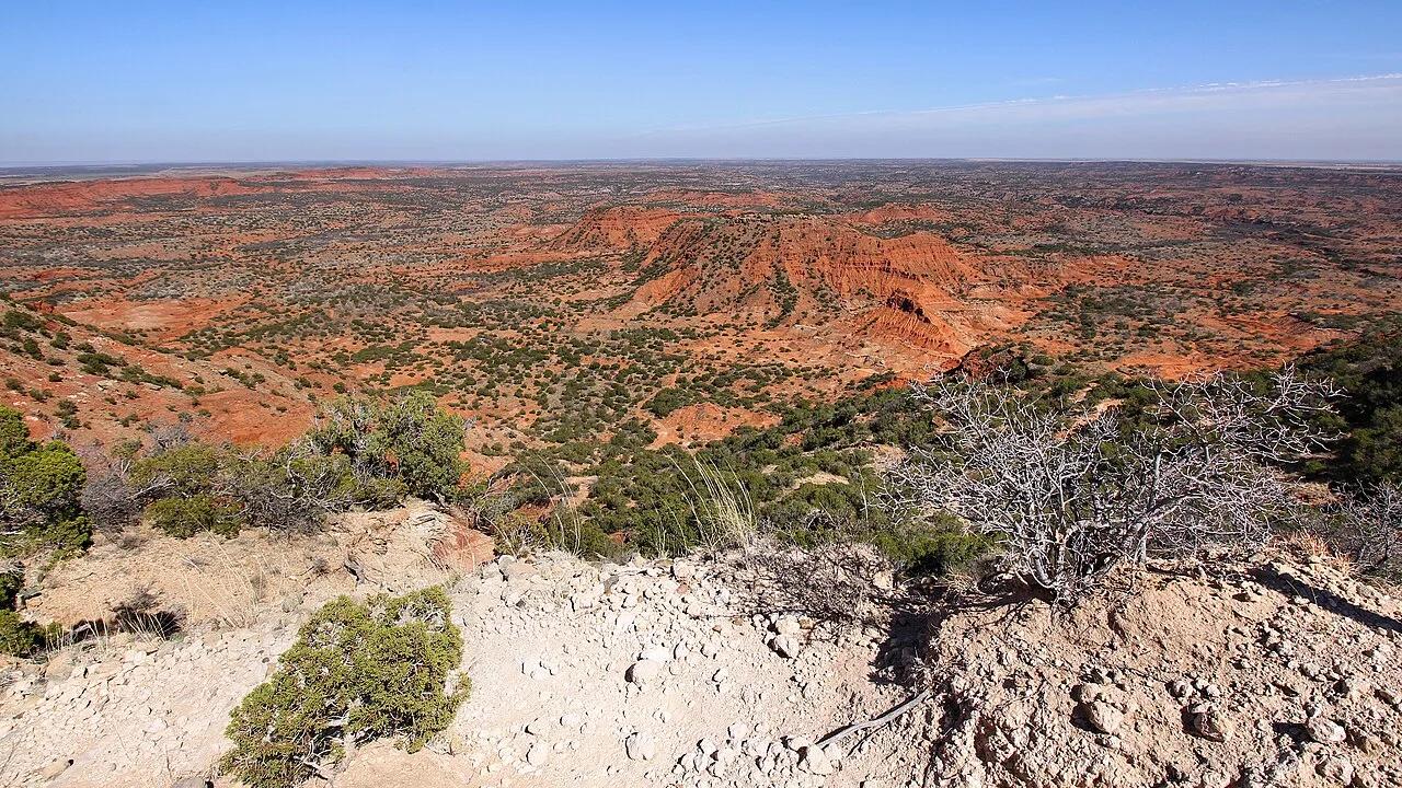
Caprock Canyons State Park · Texas Panhandle · Texas
Challenging climb along the high red sandstone escarpment overlooking the canyon rim, home to the official Texas State Bison Herd and secluded Fern Cave.
Photo: Larry D. Moore · CC BY 4.0
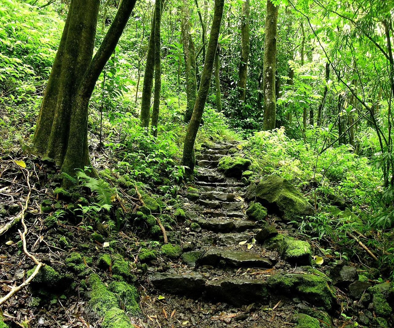
Haleakalā National Park (Kīpahulu District, Maui) · Hawaiian Islands · Hawaii
Boardwalk through a singing giant bamboo forest above Ohe'o Gulch to the 400-foot sheer lava cliff of Waimoku Falls.
Photo: Angela Sevin from SF Bay Area, US · CC BY 2.0
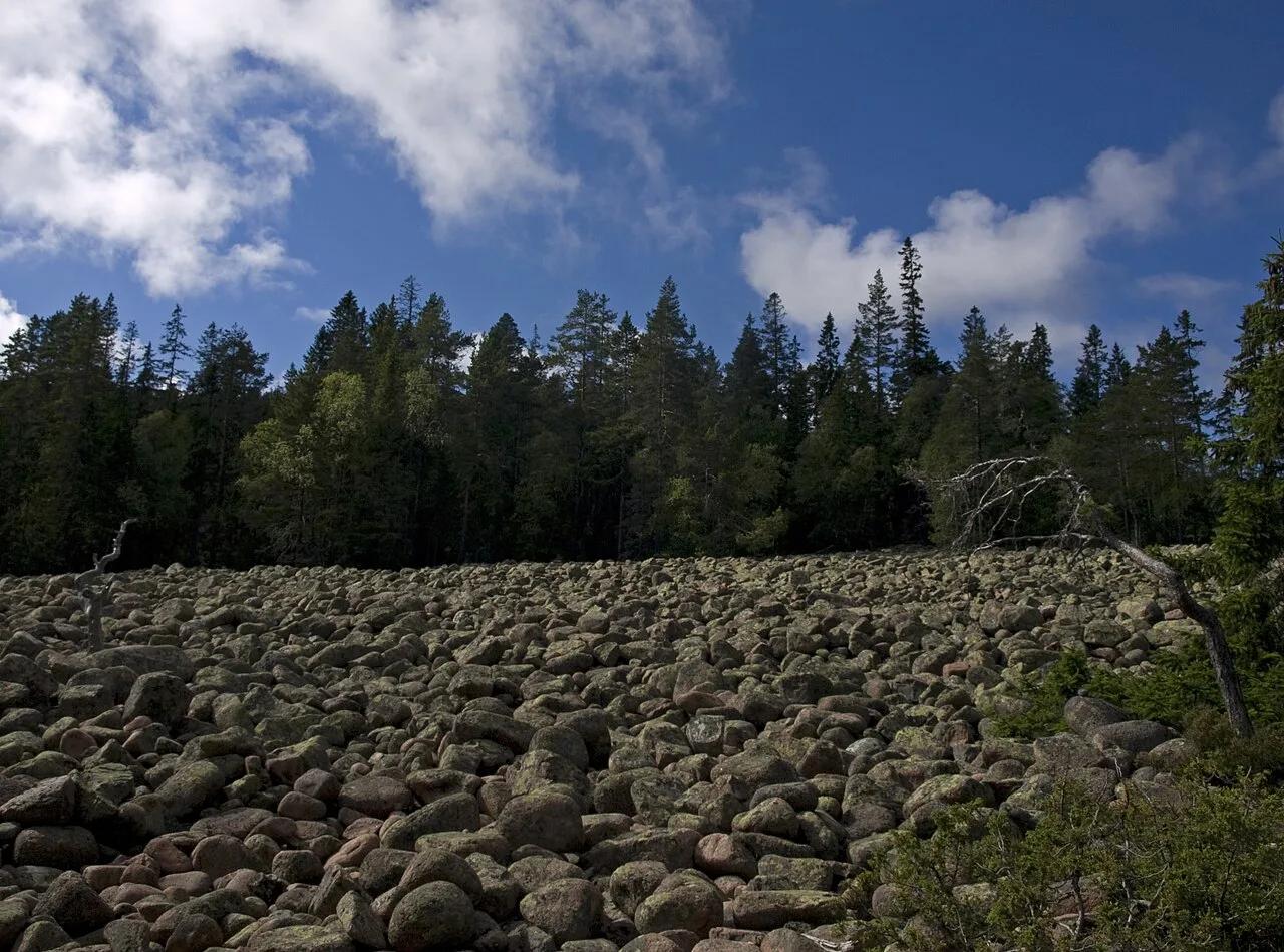
Skuleskogen National Park (Höga Kusten UNESCO) · Nordic & Arctic · Sweden
200-meter-long, 30-meter-deep red Nordingrå granite fissure sliced through the world's fastest post-glacial rebounding coastline.
Photo: Ymblanter · CC BY-SA 4.0