Viewpoint
Anza-Borrego Desert State Park · Southern California Deserts
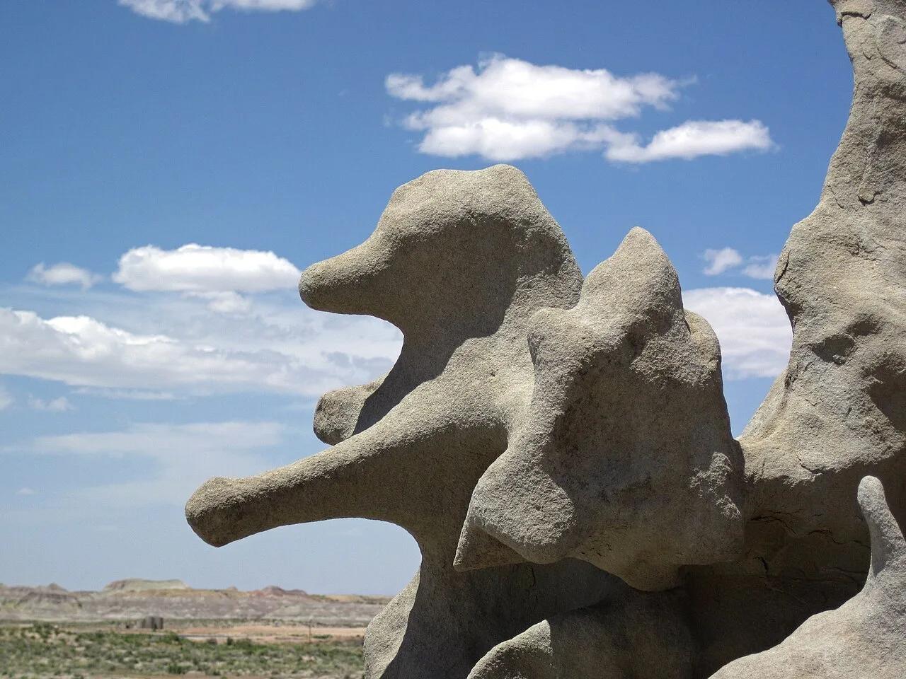
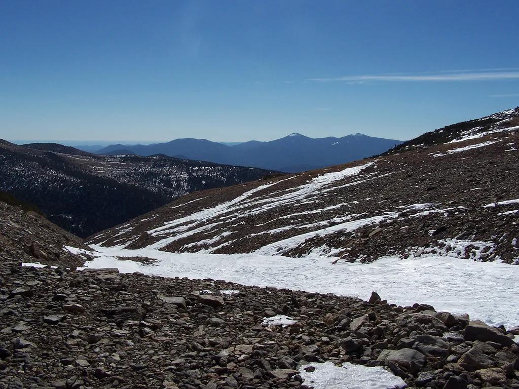
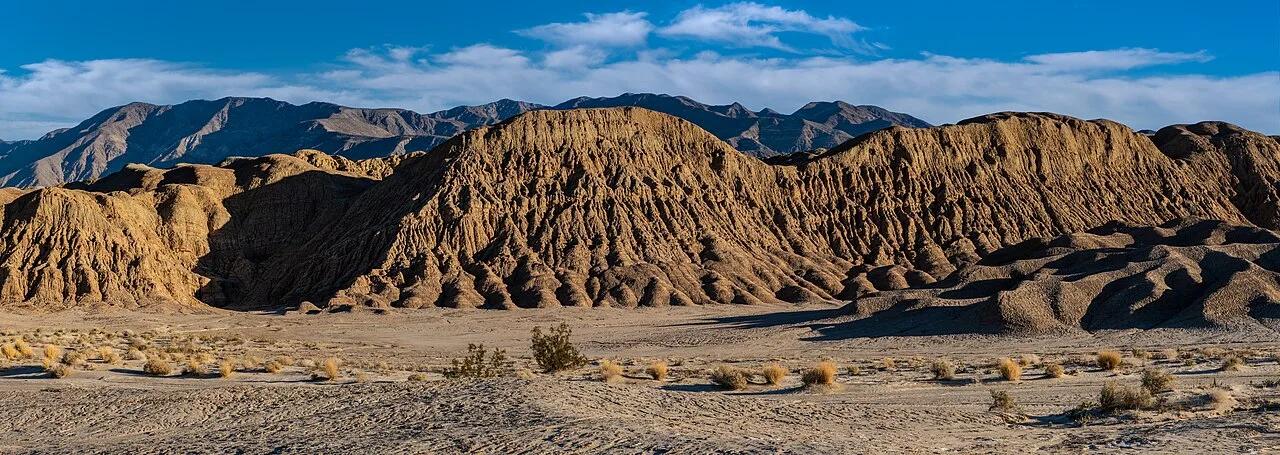
Fonts Point (California Badlands)
Gold-and-ochre eroded Pliocene badlands stretching across the Borrego Sink beneath the 8,700-foot Santa Rosa Mountains.
- Route
- 0.7 mi
- Climb
- 66 ft
Browse & Discover
Overlooks, natural arches, sea caves, groves and wildlife reserves.
994 of 2,051 places
Drag to pan. Double-click, pinch or scroll to zoom. Keyboard: arrow keys and +/−. Cards below remain available.
Loading map… Browse the spot cards below at any time.

Joshua Tree National Park
A short desert trail to the historic Barker Dam water-storage structure in Joshua Tree National Park.
Hannah Schwalbe / NPS · Public domain. Source & image licence

Eaton Canyon Natural Area
The waterfall at the head of lower Eaton Canyon, reached by a wide wash walk from the Eaton Canyon Nature Center and a final creekside scramble.
[scott.medling or en:user:scott.medling user:scott.medling from California, United States] · CC BY-SA 2.0. Source & image licence

Angeles National Forest
The ruined mountain resort of the Mount Lowe Railway, on a front-range promontory above Altadena at the top of the Lower Sam Merrill Trail.
Lennonrodgers at en.wikipedia · Public domain. Source & image licence

Escondido Canyon Park
A multi-tiered waterfall in Escondido Canyon above Malibu. The maintained trail ends at the base of the mossy lower tier.
Santa Monica Mountains National Recreation Area · Public domain. Source & image licence

Inyo National Forest
A chain of small alpine lakes at the head of Little Lakes Valley in the John Muir Wilderness, below the 13,000-foot peaks of the Bear Creek Spire cirque.
Jane S. Richardson (talk · contribs) · CC BY-SA 3.0. Source & image licence

Mount Tamalpais Watershed
A winter-and-spring cascade on Cataract Creek just below the Laurel Dell picnic area, reached downhill along the Cataract Trail from Rock Spring.
Richard Wood · CC BY-SA 3.0. Source & image licence

Joshua Tree National Park
One of the best-preserved stamp mills in Joshua Tree National Park, at the site of the Lost Horse gold mine.
Joseph from Cabin On The Road, USA · CC BY-SA 2.0. Source & image licence

Angeles National Forest
A waterfall of about fifty feet filling the head of a narrow, shaded canyon, a short walk upstream from Millard Campground.
Region 5 Photography · Public domain. Source & image licence

Inyo National Forest
A quiet lake in the Ansel Adams Wilderness beneath Parker Peak, reached through sage and an aspen-lined creek canyon off the June Lake Loop.
Mark Gunn from Novato, California, USA · CC BY 2.0. Source & image licence

Pfeiffer Big Sur State Park
A 60-foot waterfall on Pfeiffer-Redwood Creek, reached through the redwoods of Pfeiffer Big Sur State Park on a trail twice rebuilt — after the 2008 Basin Complex Fire and again after 2023 storm damage.
Joe Mabel · CC BY-SA 4.0. Source & image licence

Angeles National Forest
A 50-foot single drop into a shallow plunge pool, 1.7 mi up Big Santa Anita Canyon. Shaded the entire way in. The work is all on the walk out.
U.S. Department of Agriculture / USDA USFS · CC BY 2.0. Source & image licence

Santa Monica Mountains National Recreation Area
The ruins of the Roberts family ranch house at the end of the canyon-floor trail in Solstice Canyon, beside a small seasonal waterfall.
George Heras / Santa Monica Mountains National Recreation Area · Public domain. Source & image licence

Pfeiffer Big Sur State Park
An overlook above the Big Sur River valley, looking north over the redwoods toward Point Sur and the Pacific.
King of Hearts · CC BY-SA 3.0. Source & image licence
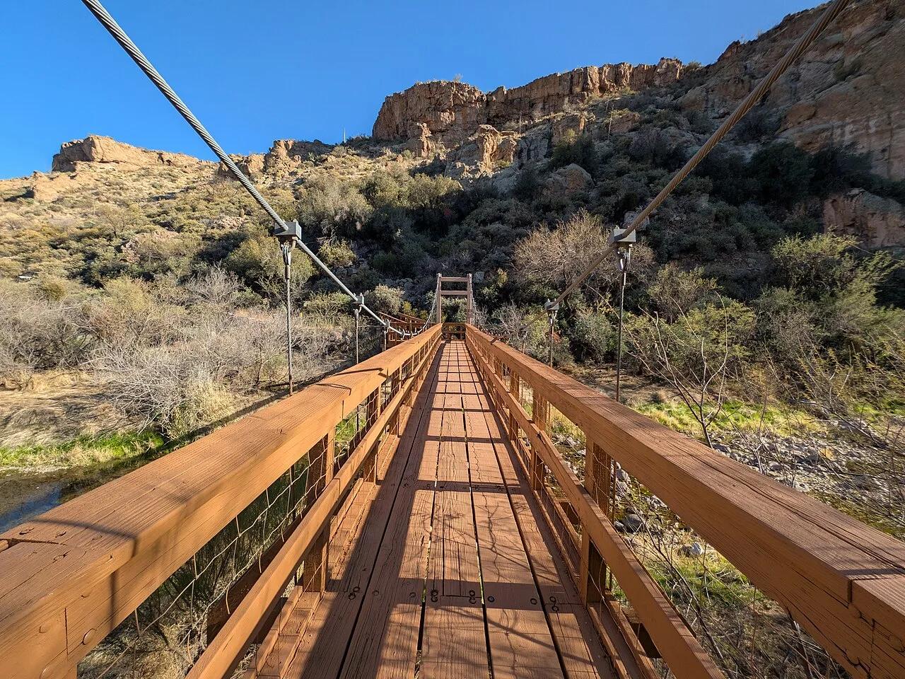
Boyce Thompson Arboretum State Park · Central Arizona · Arizona
Historic 372-acre botanical sanctuary showcasing 4,000 desert plant species beneath the volcanic crags of Picketpost Mountain.
Photo: Krzysztof Ziarnek, Kenraiz · CC BY-SA 4.0
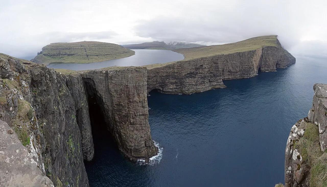
Faroe Islands North Atlantic Coast · Nordic & Arctic · Denmark (Faroe Islands)
Optical-illusion freshwater lake perched on sheer basalt sea cliffs above the roaring North Atlantic and Bøsdalafossur ocean waterfall.
Photo: kallerna · CC BY-SA 4.0
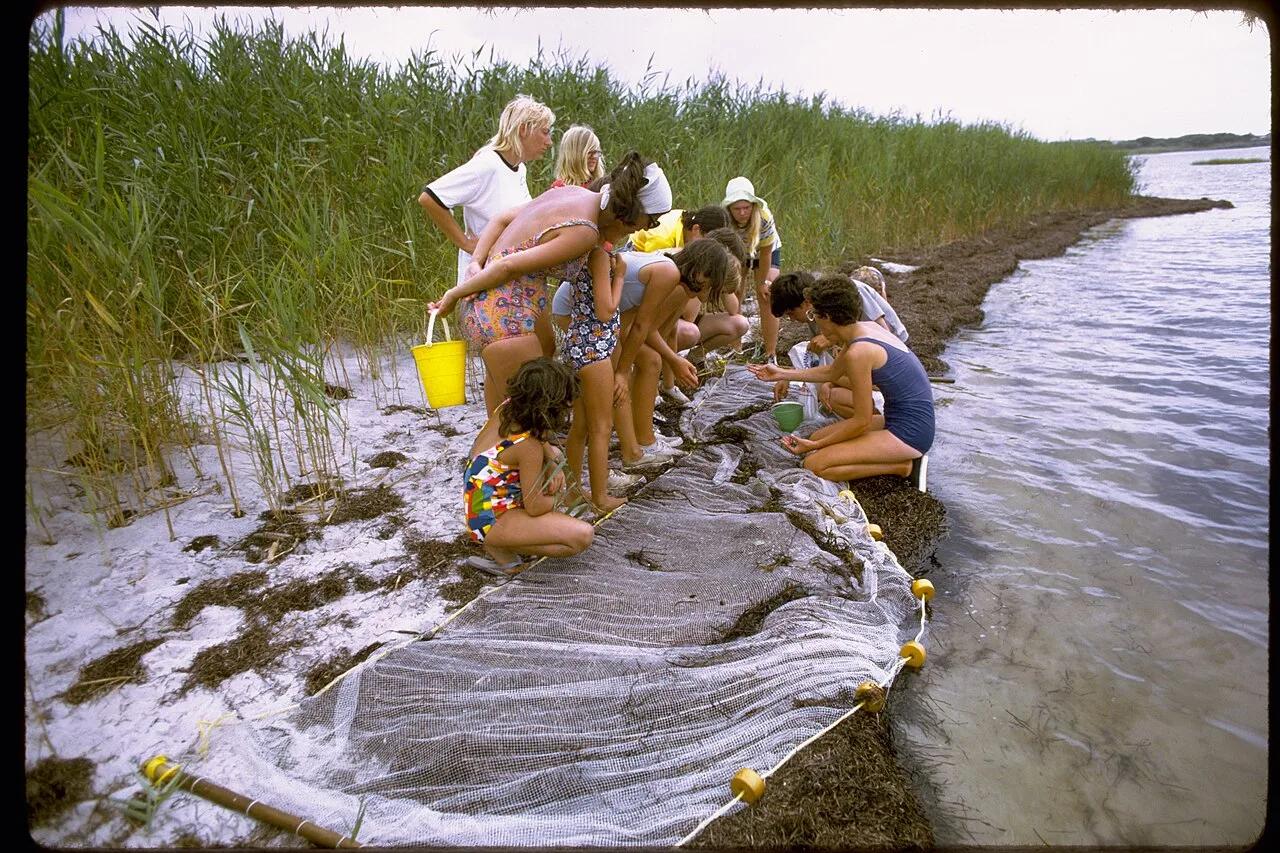
Fire Island National Seashore · Long Island · New York
A 300-year-old maritime American holly canopy growing completely below sea level behind barrier dunes on the Atlantic shoreline.
Photo: National Park Service Digital Image Archives · Public domain
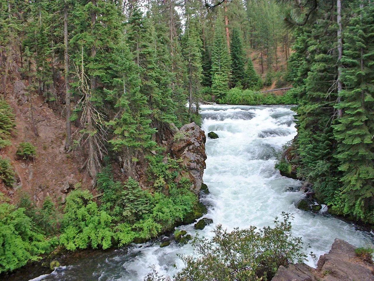
Newberry National Volcanic Monument / Deschutes NF · Pacific Northwest · Oregon
Ponderosa pine singletrack and mountain bike trail tracing Class V volcanic basalt rapids where the Deschutes River squeezes against a 6,000-year-old lava flow.
Photo: PJ Blalock · Public domain
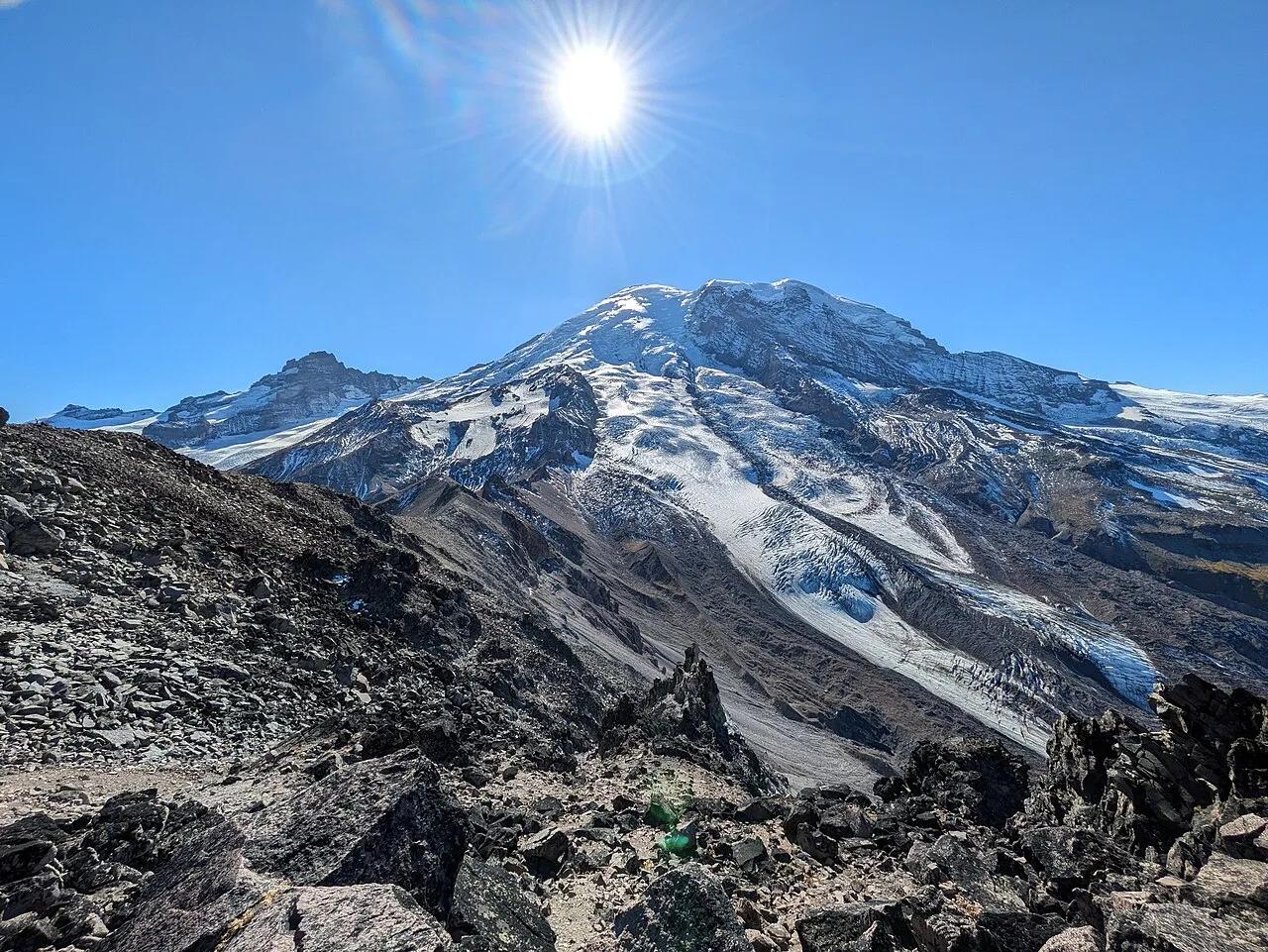
Mount Rainier National Park · Pacific Northwest · Washington
Arctic-alpine tundra ridgeline at 7,400 feet where hikers stand eye-to-eye with the towering ice cliffs of Emmons Glacier and Mount Rainier.
Photo: Buidhe · CC BY-SA 4.0
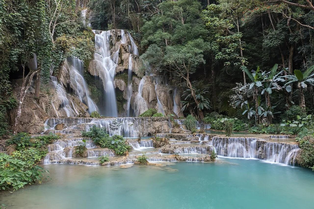
Tat Kuang Si Park & Jungle Reserve · Southeast Asia · Laos
60-meter vertical limestone cataract feeding a staircase of milky-turquoise calcium-carbonate swimming basins inside old-growth jungle.
Photo: Basile Morin · CC BY-SA 4.0
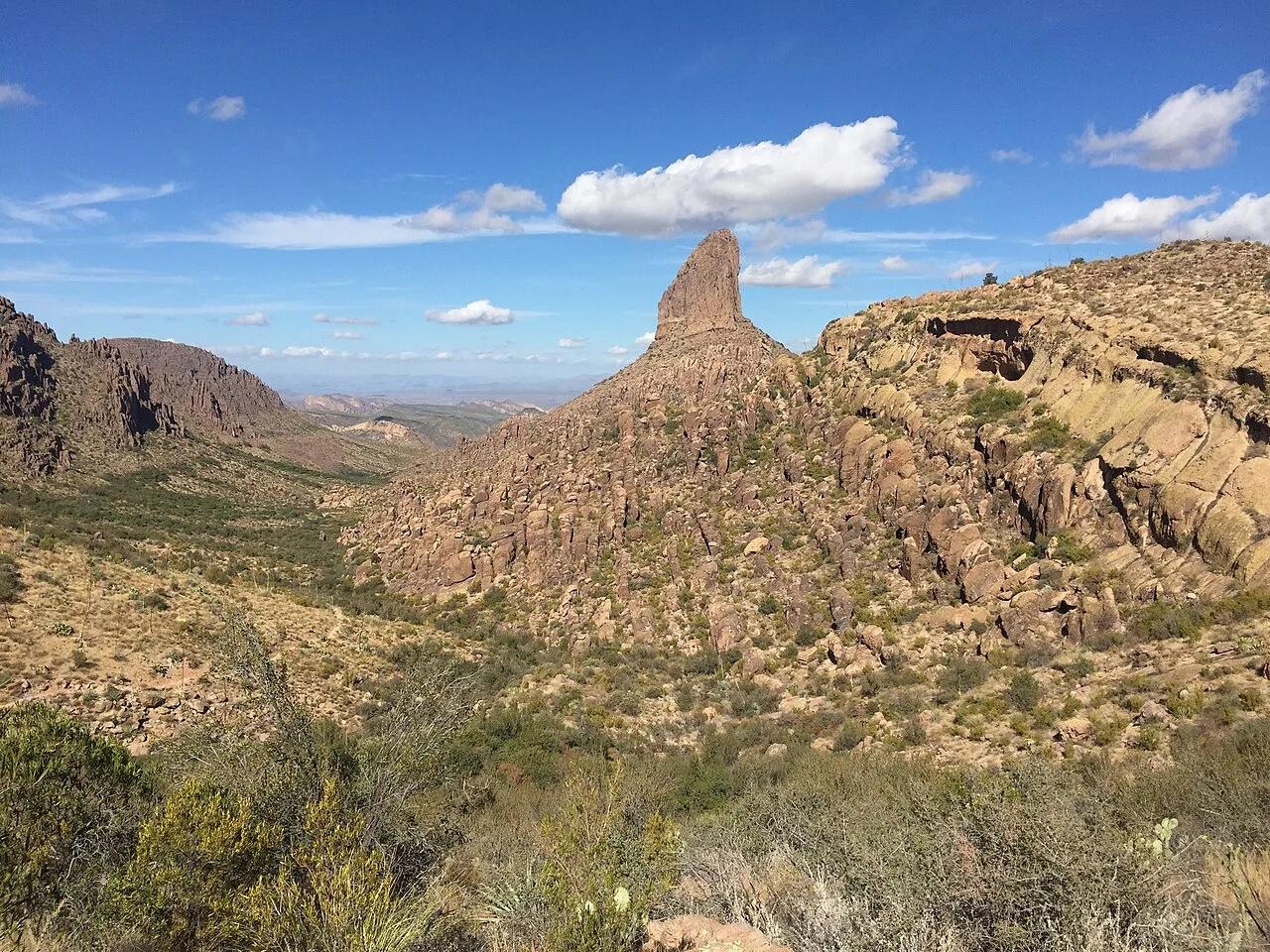
Tonto National Forest (Superstition Wilderness) · Southwest & Sonoran Desert · Arizona
Sonoran saguaro canyon climbing to a breezy volcanic tuff saddle directly facing the 4,555-foot spire of Weavers Needle.
Photo: Andrew Z. Colvin · CC BY-SA 4.0
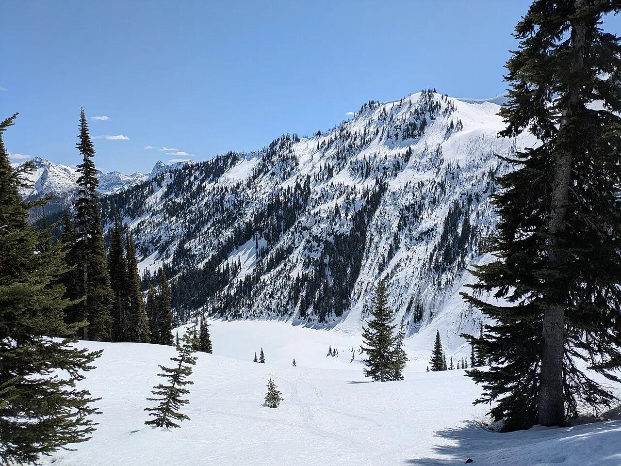
Okanogan-Wenatchee National Forest / North Cascades · Pacific Northwest · Washington
Golden autumn larch needles and glacier-carved horn peaks encircling emerald Lake Ann and Rainy Lake at 6,650 feet.
Photo: Buidhe · CC BY-SA 4.0
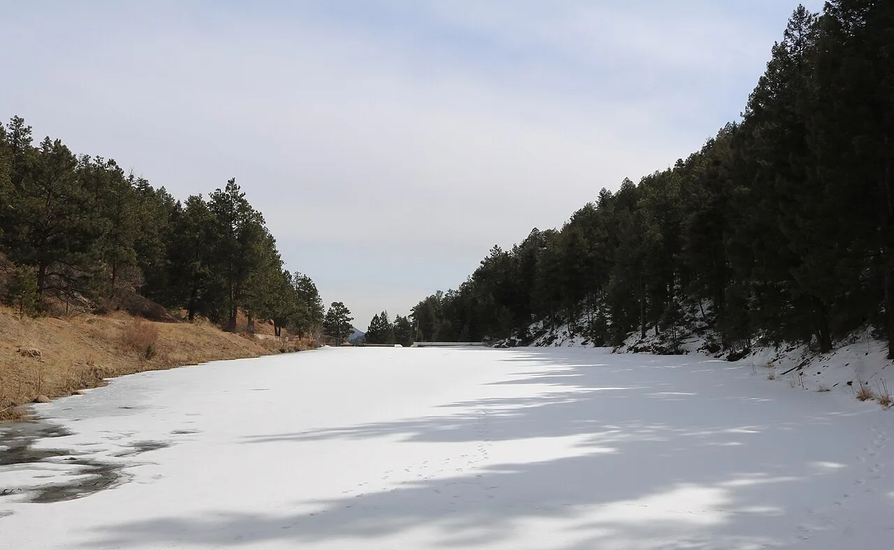
Pike National Forest (Buffalo Creek Recreation Area) · Rocky Mountains · Colorado
Fast decomposed-Pikes-Peak-granite flow singletrack winding through dramatic boulder formations and South Platte River views.
Photo: Jeffrey Beall · CC BY 4.0
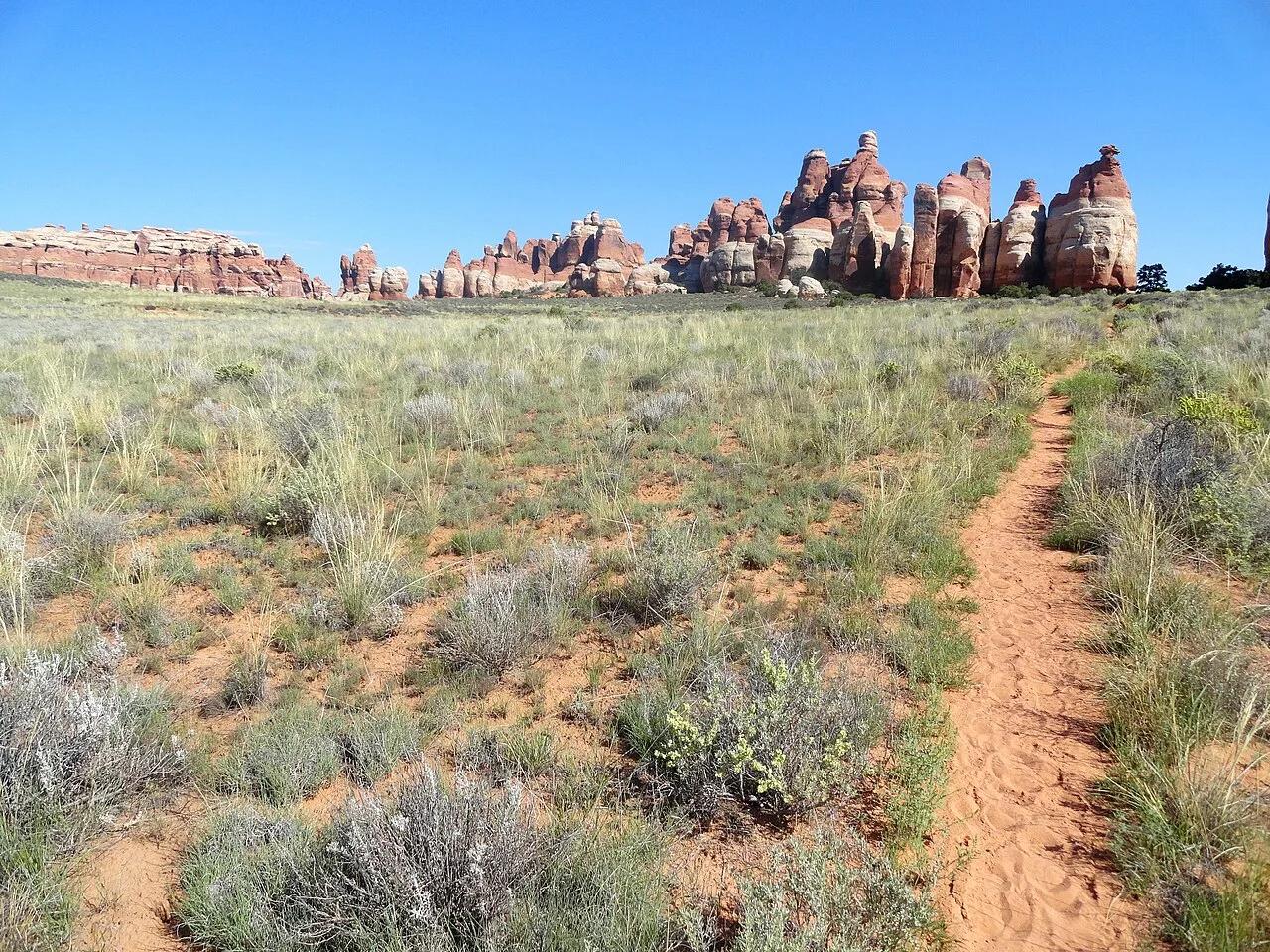
Canyonlands National Park · Colorado Plateau · Utah
Ring of banded pink-and-white Cedar Mesa sandstone spires encircling a high desert meadow, linked by a 5-foot-wide bedrock fissure.
Photo: Fabio Achilli from Milano, Italy · CC BY 2.0
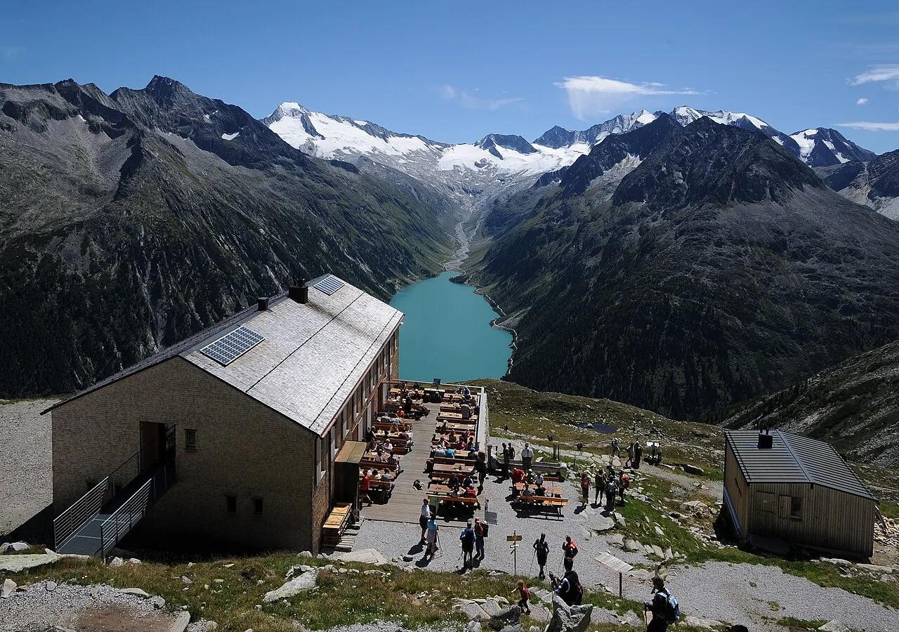
High Alps Nature Park Zillertal · European Alps · Austria
High-alpine suspension footbridge spanning a mountain stream at 2,389 meters with a dramatic vertical backdrop of turquoise Lake Schlegeis.
Photo: böhringer friedrich · CC BY-SA 2.5
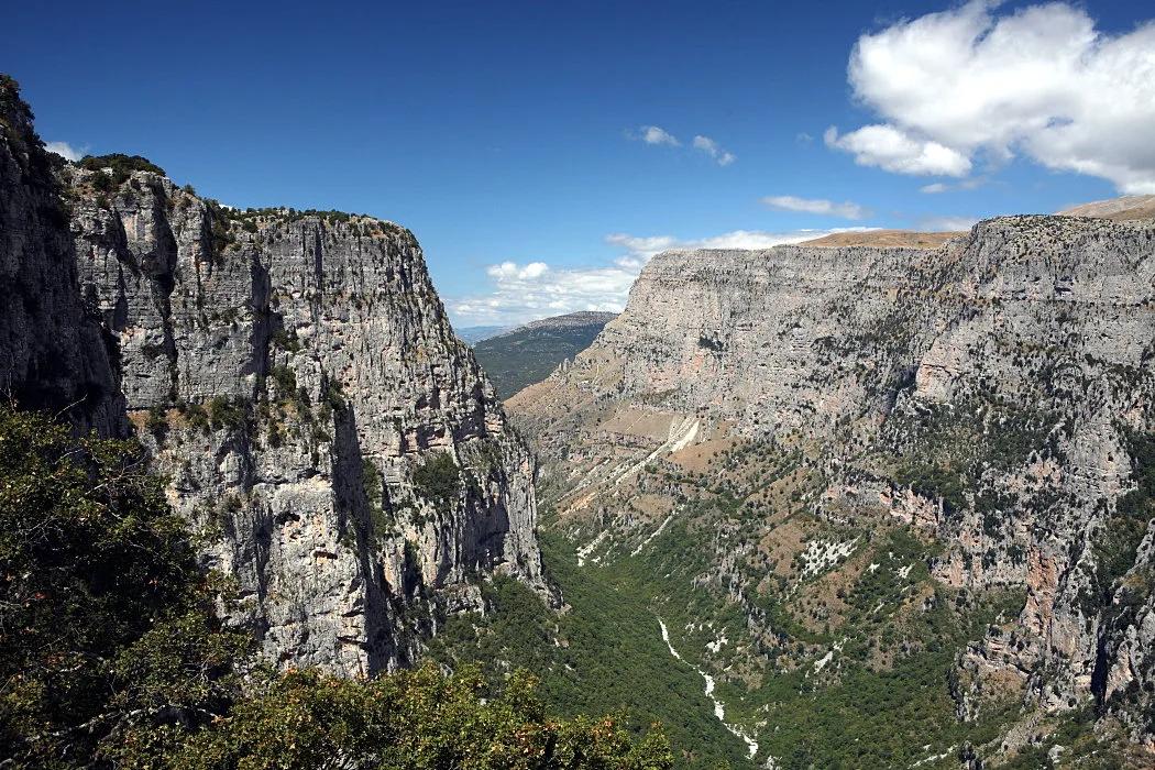
Vikos–Aoös National Park (Zagori UNESCO Site) · Mediterranean Europe · Greece
One of the deepest canyons on Earth relative to its width, carved 900 meters into Pindus limestone with Ottoman stone arch bridges and emerald Voidomatis springs.
Photo: Nikos A. Kanellopoulos · CC BY 3.0