Bike route
Cuyahoga Valley National Park · Midwest & Great Lakes · Ohio
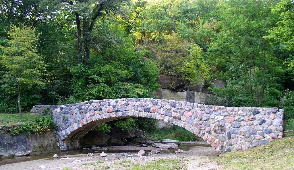
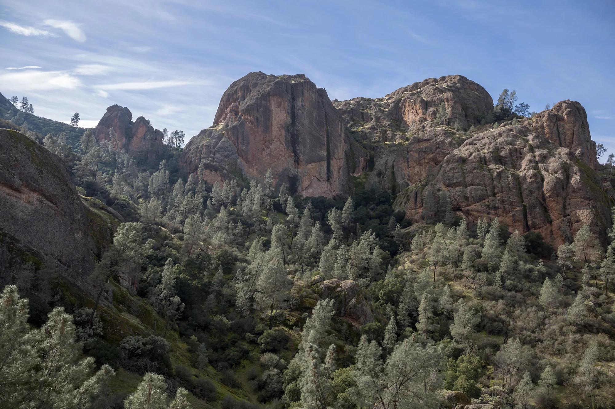
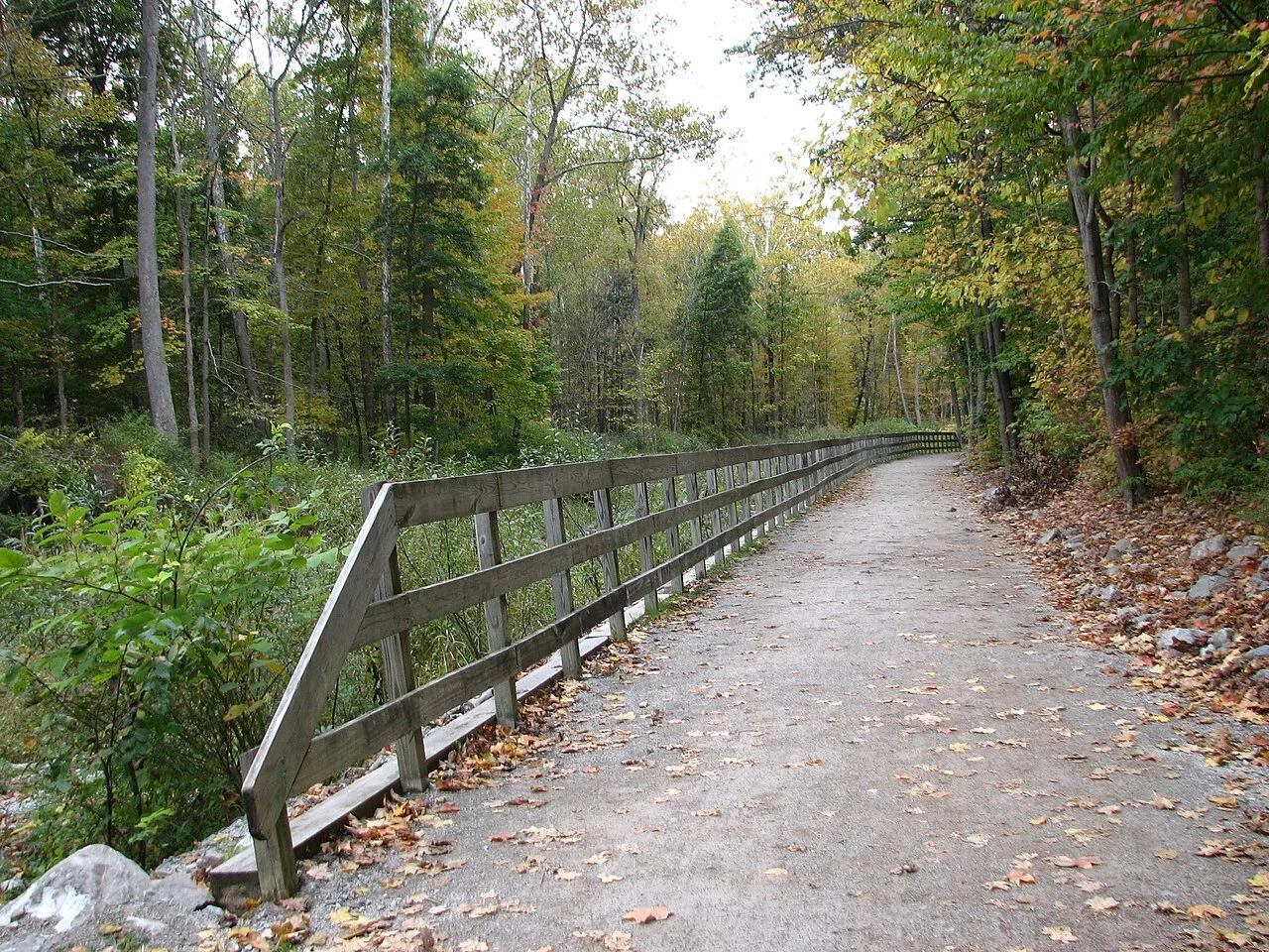
Ohio & Erie Canal Towpath Trail (Ledges)
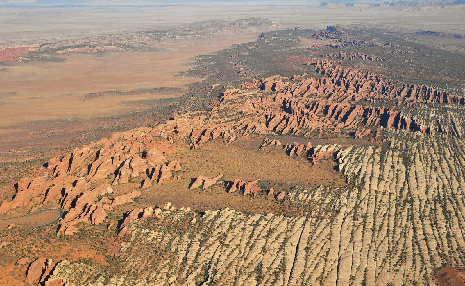
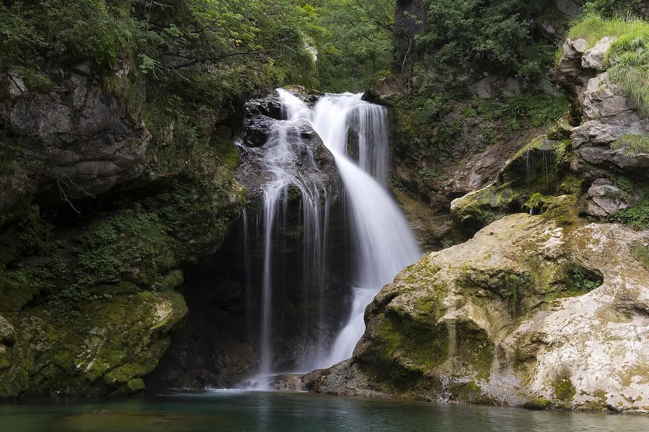
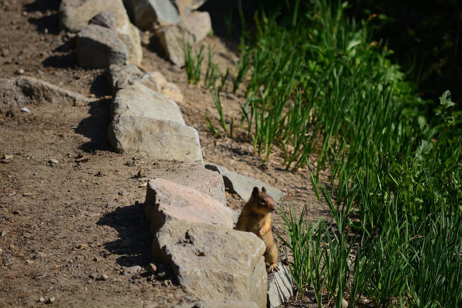
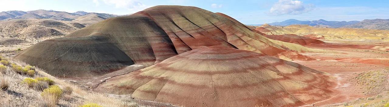
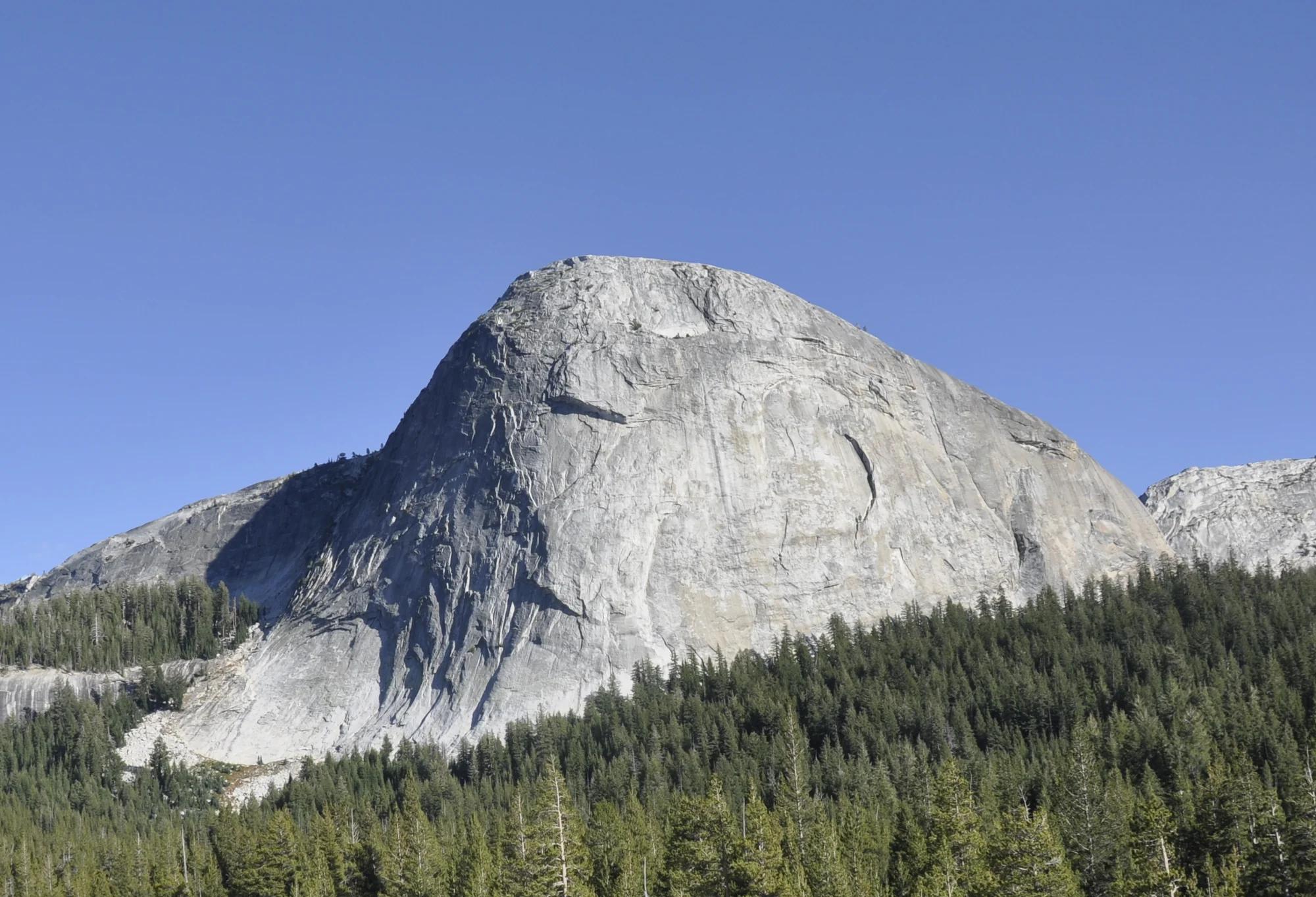
Historic canal towpath bikeway paired with the moss-covered Sharon Conglomerate cliffs of the Ritchie Ledges.
- Route
- 9 mi
- Climb
- 295 ft
Browse & Discover
Overlooks, natural arches, sea caves, groves and wildlife reserves.
994 of 2,051 places
Drag to pan. Double-click, pinch or scroll to zoom. Keyboard: arrow keys and +/−. Cards below remain available.
Loading map… Browse the spot cards below at any time.

Joshua Tree National Park
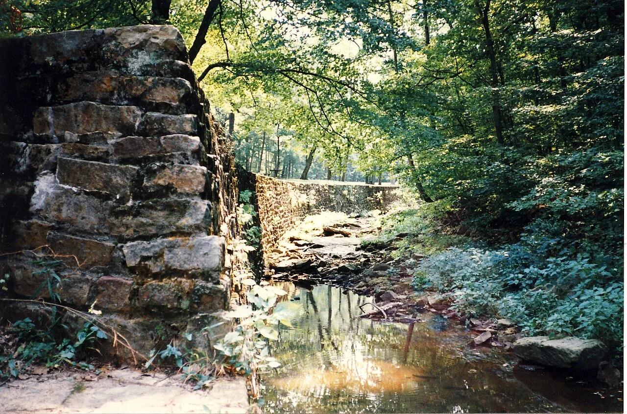
A short desert trail to the historic Barker Dam water-storage structure in Joshua Tree National Park.
Hannah Schwalbe / NPS · Public domain. Source & image licence

Eaton Canyon Natural Area
The waterfall at the head of lower Eaton Canyon, reached by a wide wash walk from the Eaton Canyon Nature Center and a final creekside scramble.
[scott.medling or en:user:scott.medling user:scott.medling from California, United States] · CC BY-SA 2.0. Source & image licence

Angeles National Forest
The ruined mountain resort of the Mount Lowe Railway, on a front-range promontory above Altadena at the top of the Lower Sam Merrill Trail.
Lennonrodgers at en.wikipedia · Public domain. Source & image licence

Escondido Canyon Park
A multi-tiered waterfall in Escondido Canyon above Malibu. The maintained trail ends at the base of the mossy lower tier.
Santa Monica Mountains National Recreation Area · Public domain. Source & image licence

Inyo National Forest
A chain of small alpine lakes at the head of Little Lakes Valley in the John Muir Wilderness, below the 13,000-foot peaks of the Bear Creek Spire cirque.
Jane S. Richardson (talk · contribs) · CC BY-SA 3.0. Source & image licence

Mount Tamalpais Watershed
A winter-and-spring cascade on Cataract Creek just below the Laurel Dell picnic area, reached downhill along the Cataract Trail from Rock Spring.
Richard Wood · CC BY-SA 3.0. Source & image licence

Joshua Tree National Park
One of the best-preserved stamp mills in Joshua Tree National Park, at the site of the Lost Horse gold mine.
Joseph from Cabin On The Road, USA · CC BY-SA 2.0. Source & image licence

Angeles National Forest
A waterfall of about fifty feet filling the head of a narrow, shaded canyon, a short walk upstream from Millard Campground.
Region 5 Photography · Public domain. Source & image licence

Inyo National Forest
A quiet lake in the Ansel Adams Wilderness beneath Parker Peak, reached through sage and an aspen-lined creek canyon off the June Lake Loop.
Mark Gunn from Novato, California, USA · CC BY 2.0. Source & image licence

Pfeiffer Big Sur State Park
A 60-foot waterfall on Pfeiffer-Redwood Creek, reached through the redwoods of Pfeiffer Big Sur State Park on a trail twice rebuilt — after the 2008 Basin Complex Fire and again after 2023 storm damage.
Joe Mabel · CC BY-SA 4.0. Source & image licence

Angeles National Forest
A 50-foot single drop into a shallow plunge pool, 1.7 mi up Big Santa Anita Canyon. Shaded the entire way in. The work is all on the walk out.
U.S. Department of Agriculture / USDA USFS · CC BY 2.0. Source & image licence

Santa Monica Mountains National Recreation Area
The ruins of the Roberts family ranch house at the end of the canyon-floor trail in Solstice Canyon, beside a small seasonal waterfall.
George Heras / Santa Monica Mountains National Recreation Area · Public domain. Source & image licence

Pfeiffer Big Sur State Park
An overlook above the Big Sur River valley, looking north over the redwoods toward Point Sur and the Pacific.
King of Hearts · CC BY-SA 3.0. Source & image licence
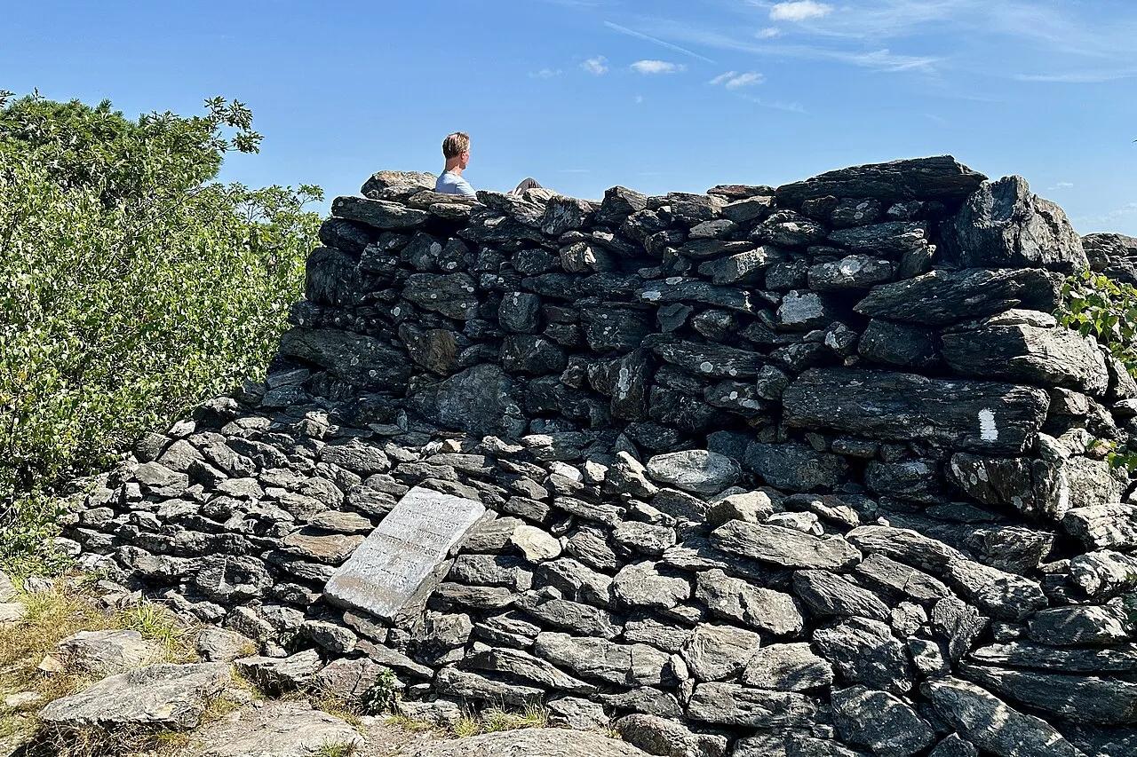
Appalachian Trail / Mount Riga State Park · Litchfield Hills / Northwest CT · Connecticut
Connecticut's highest mountain summit at 2,316 feet topped by a stone pyramid cairn looking out across New York and Massachusetts.
Photo: Zeete · CC BY-SA 4.0
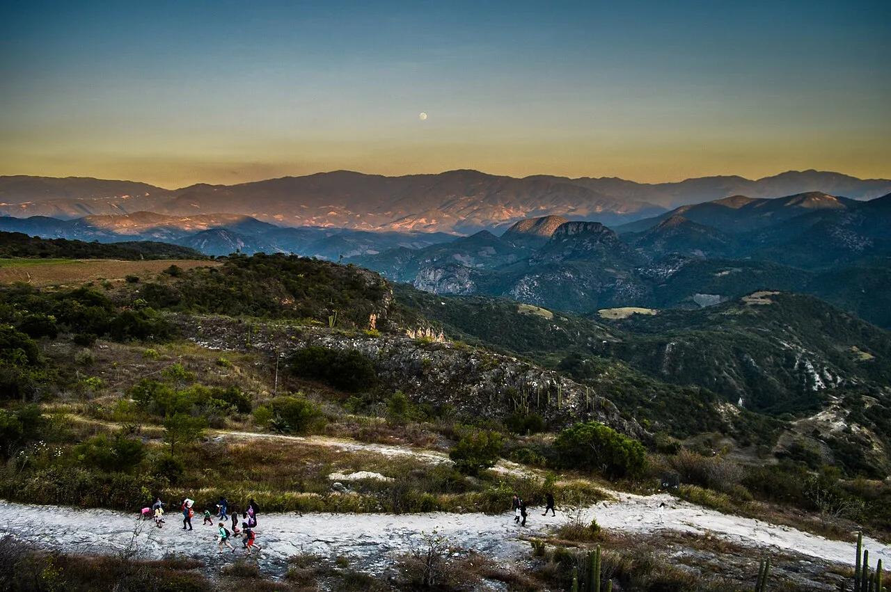
San Lorenzo Albarradas (Sierra Mixe) · Mexico & Central America · Mexico
Calcified travertine cliff formations resembling frozen white waterfalls, crowned with natural mineral infinity pools.
Photo: Nataly Gómez Gómez · CC BY-SA 4.0
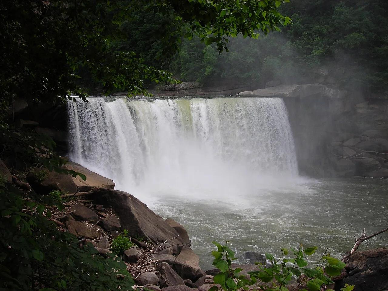
Cumberland Falls State Resort Park · Appalachian & Blue Ridge · Kentucky
125-foot-wide curtain waterfall on the Cumberland River—one of the only places on Earth that produces a regular lunar rainbow (moonbow).
Photo: No machine-readable author provided. Blinutne assumed (based on copyright cla... · CC BY-SA 3.0
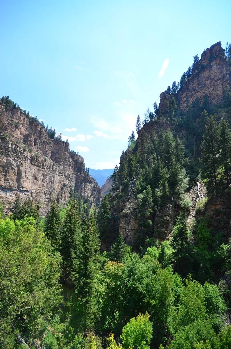
White River National Forest · Colorado & Rocky Mountains · Colorado
A geological wonder perched on Glenwood Canyon's cliff rim, featuring turquoise waters fed by Spouting Rock waterfalls.
Photo: Sayamindu Dasgupta from Cambridge, MA, United States · CC BY-SA 2.0
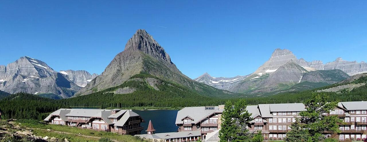
Glacier National Park (Many Glacier) · Northern Rockies · Montana
Stairstep chain of turquoise glacial lakes—Swiftcurrent, Josephine, and Lower Grinnell—leading to the iceberg-dotted basin of Grinnell Glacier.
Photo: MONGO · CC BY-SA 4.0
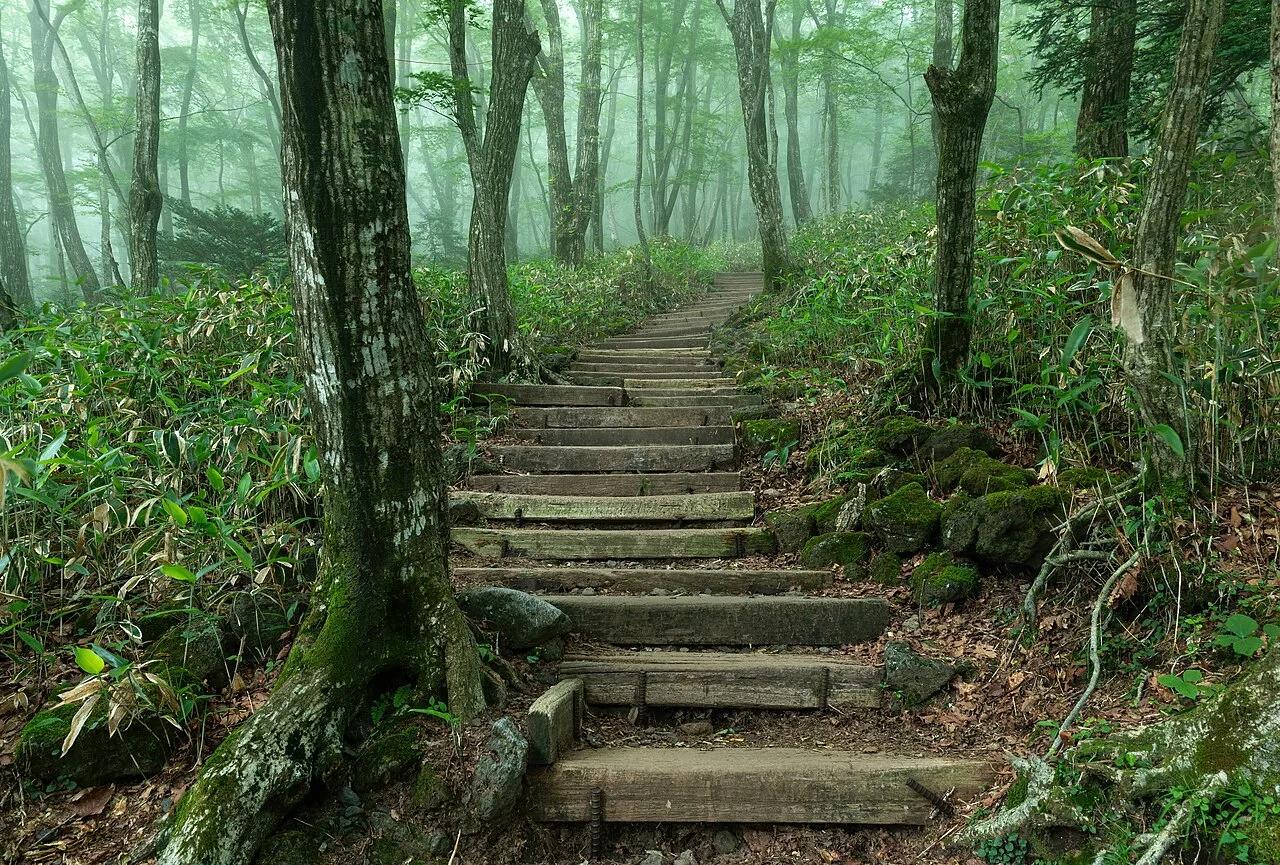
Hallasan National Park (Jeju UNESCO Global Geopark) · East Asia · South Korea
South Korea's highest peak—a shield volcano crowned by the White Deer Crater Lake in the center of Jeju Island.
Photo: Basile Morin · CC BY-SA 4.0
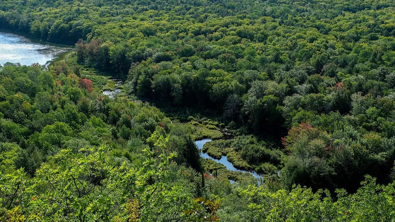
Porcupine Mountains Wilderness State Park · Midwest & Great Lakes · Michigan
Old-growth northern hardwood wilderness valley and Carp River lakes viewed from a sheer basalt ridge in Michigan's Upper Peninsula.
Photo: Sharon Mollerus · CC BY 2.0
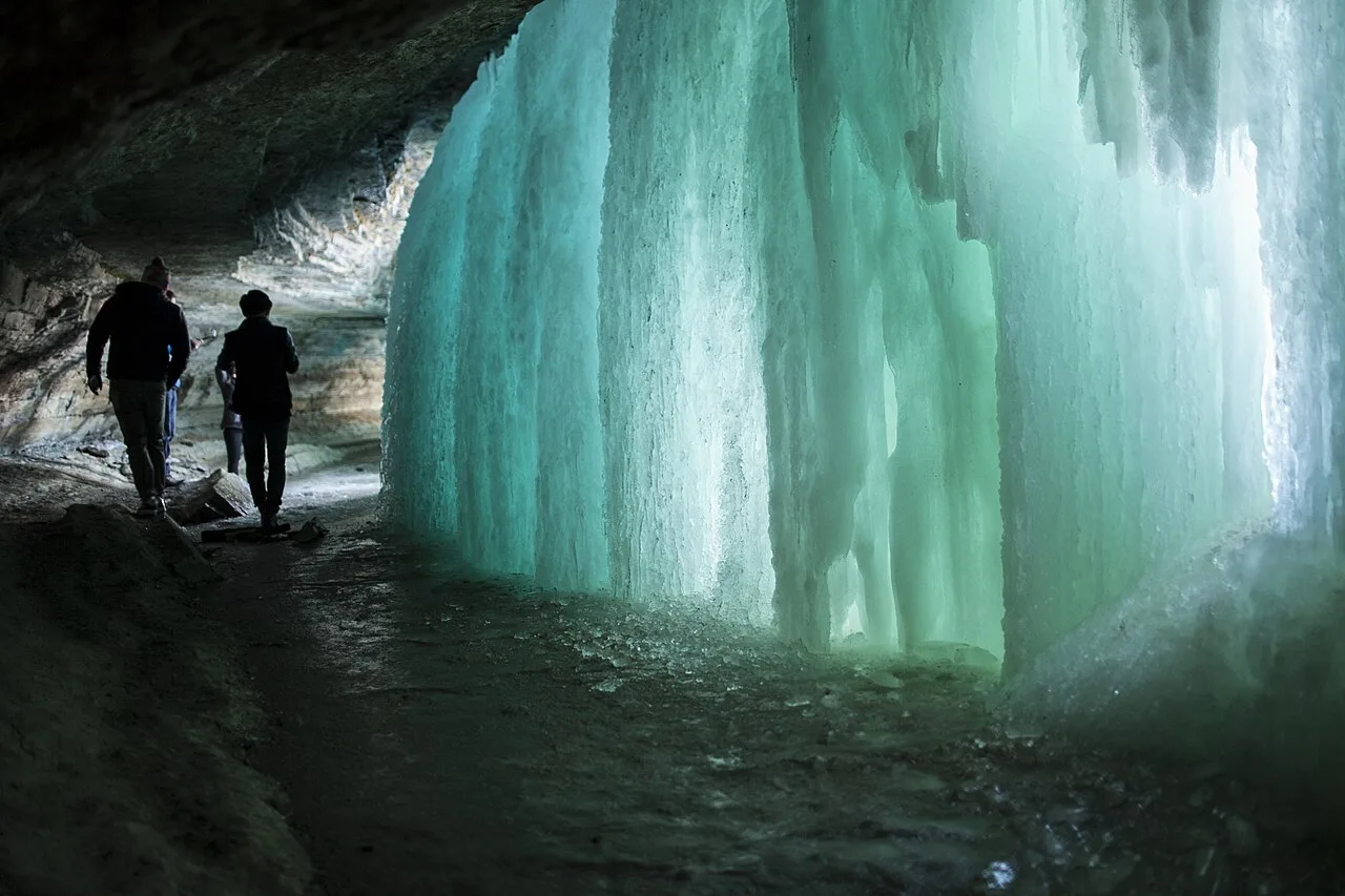
Minnehaha Regional Park (Grand Rounds Scenic Byway) · Midwest & Great Lakes · Minnesota
53-foot urban limestone waterfall where Minnehaha Creek joins the Mississippi River along Minneapolis's 51-mile Grand Rounds bikeway.
Photo: Albert Leung from MPLS · CC BY 2.0
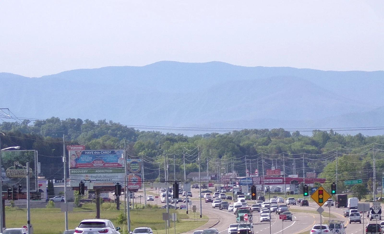
Great Smoky Mountains National Park · Blue Ridge & Great Smoky Mountains · Tennessee
The highest point in Tennessee (6,643 ft), crowned with a futuristic spiral concrete observation tower above misty spruce-fir forests.
Photo: Username11236 · CC BY-SA 4.0