Peak
Tahoe National Forest · Lake Tahoe & Northern Sierra
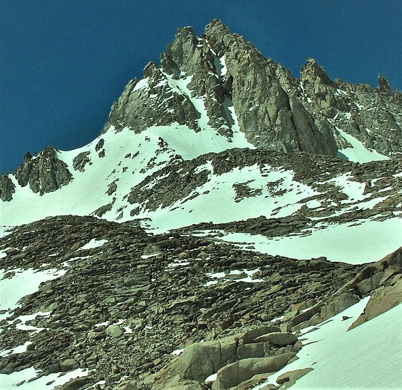
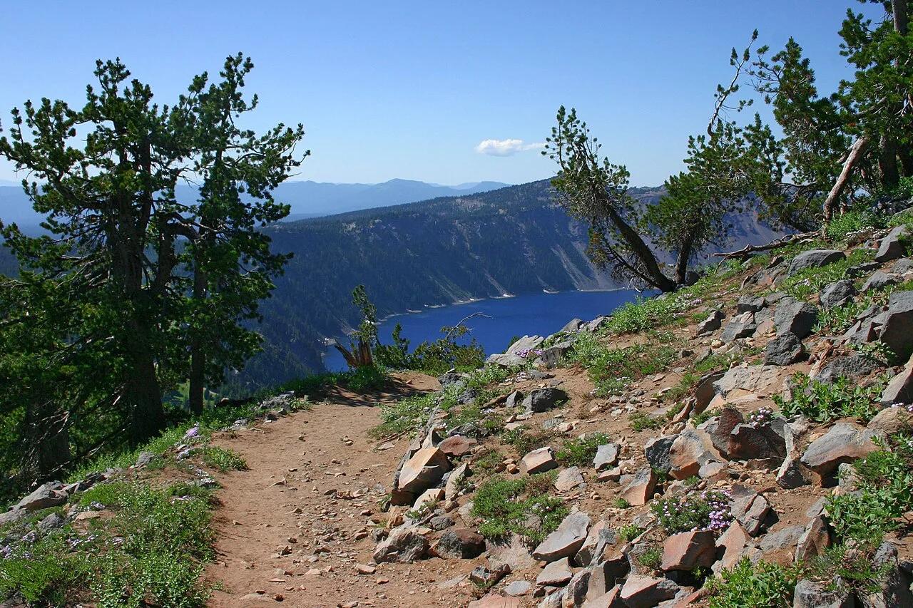
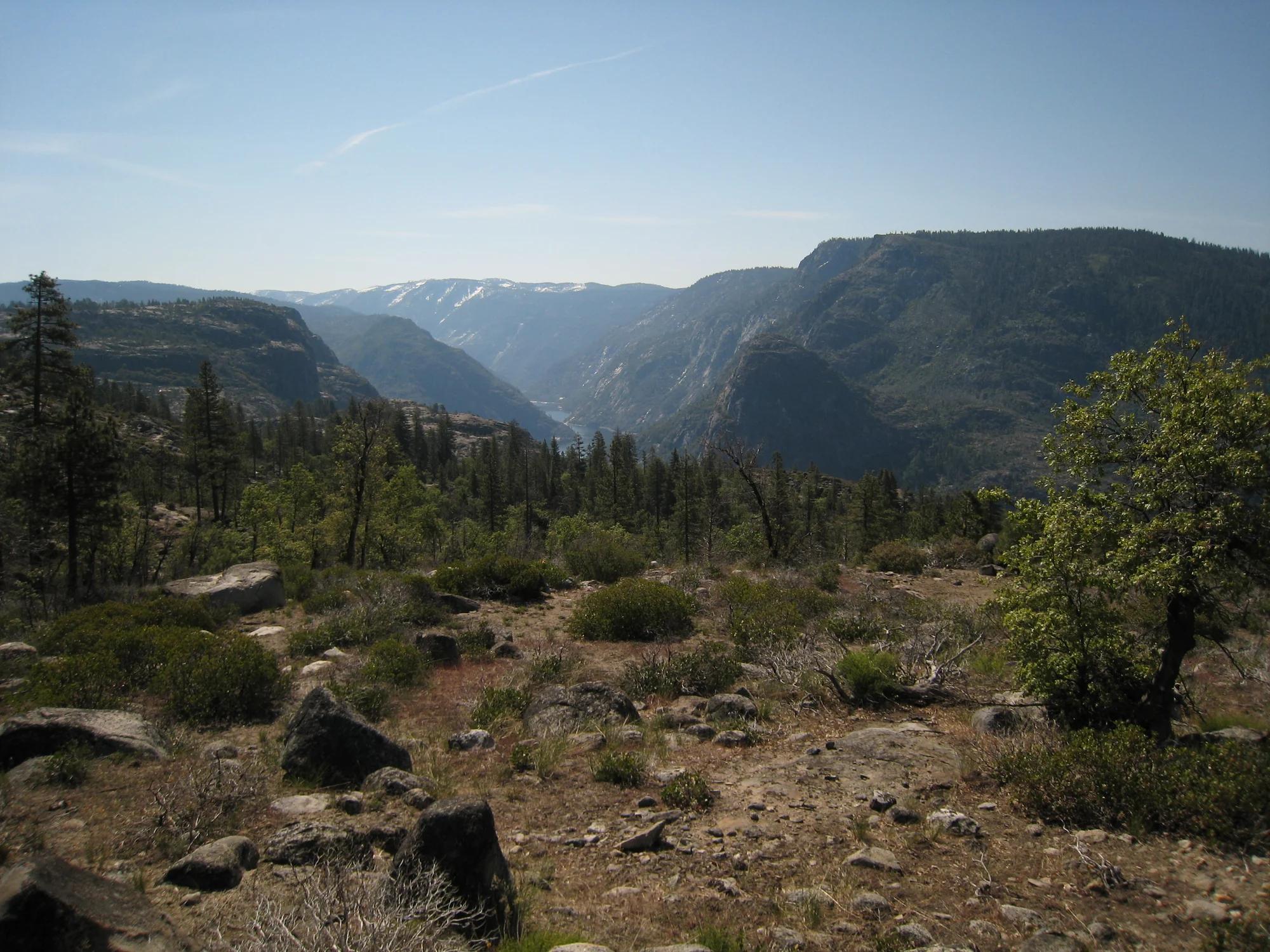
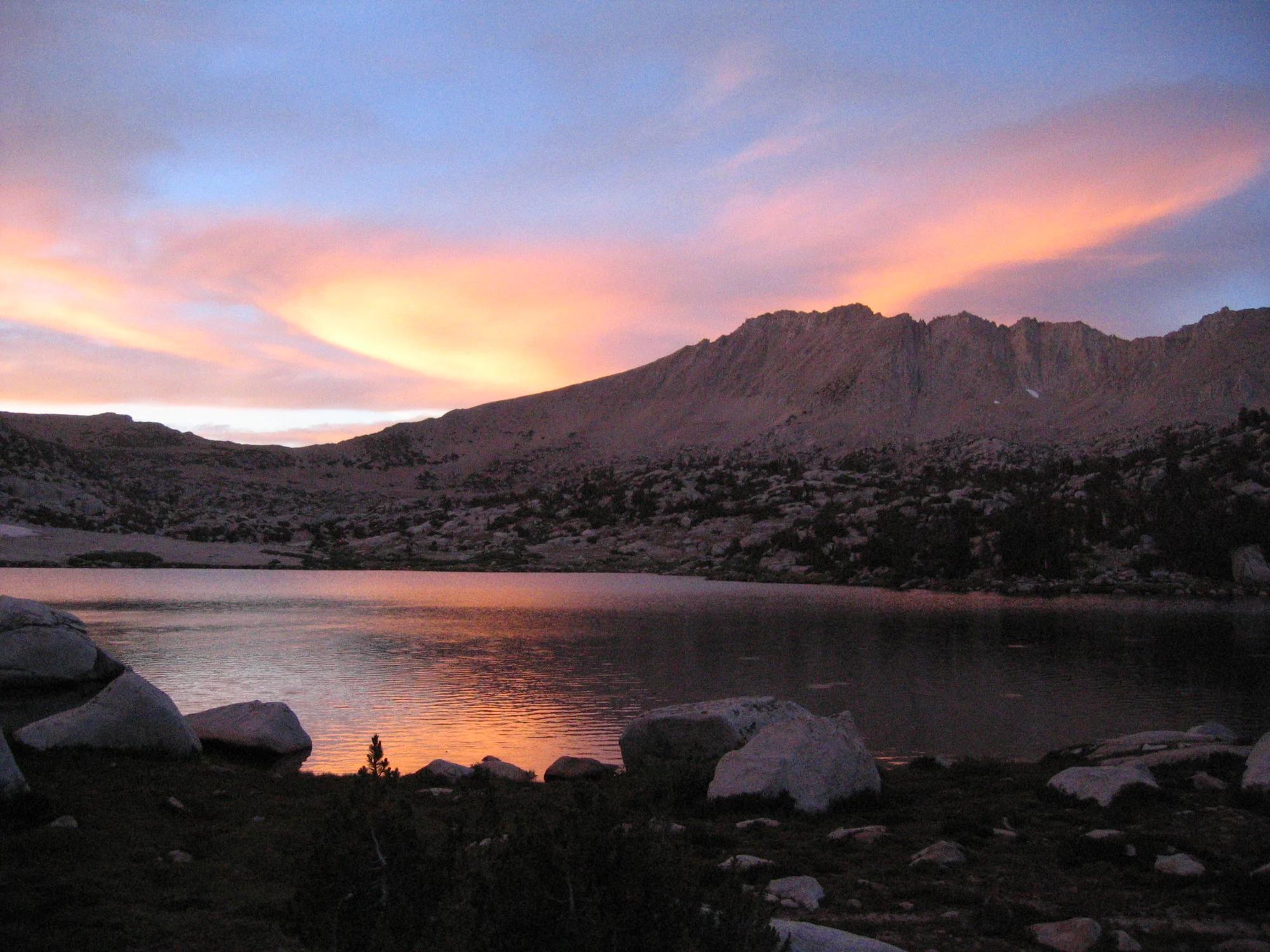
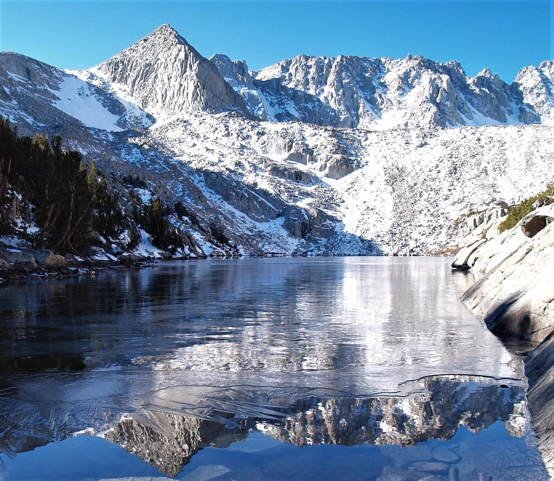
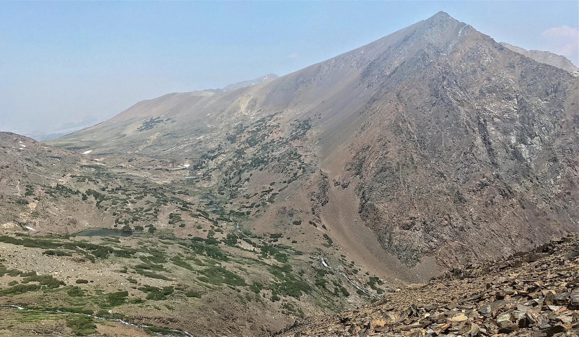
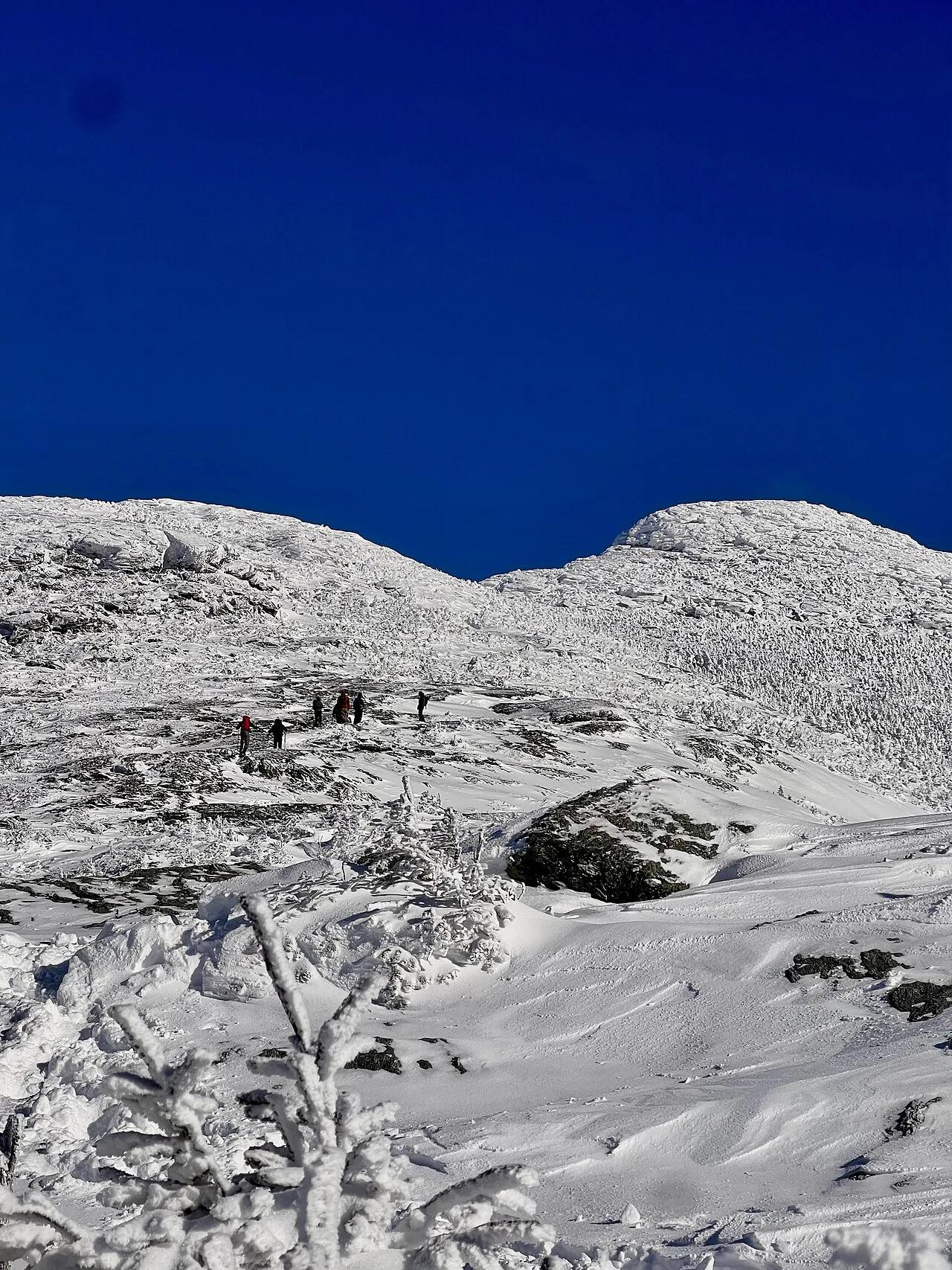
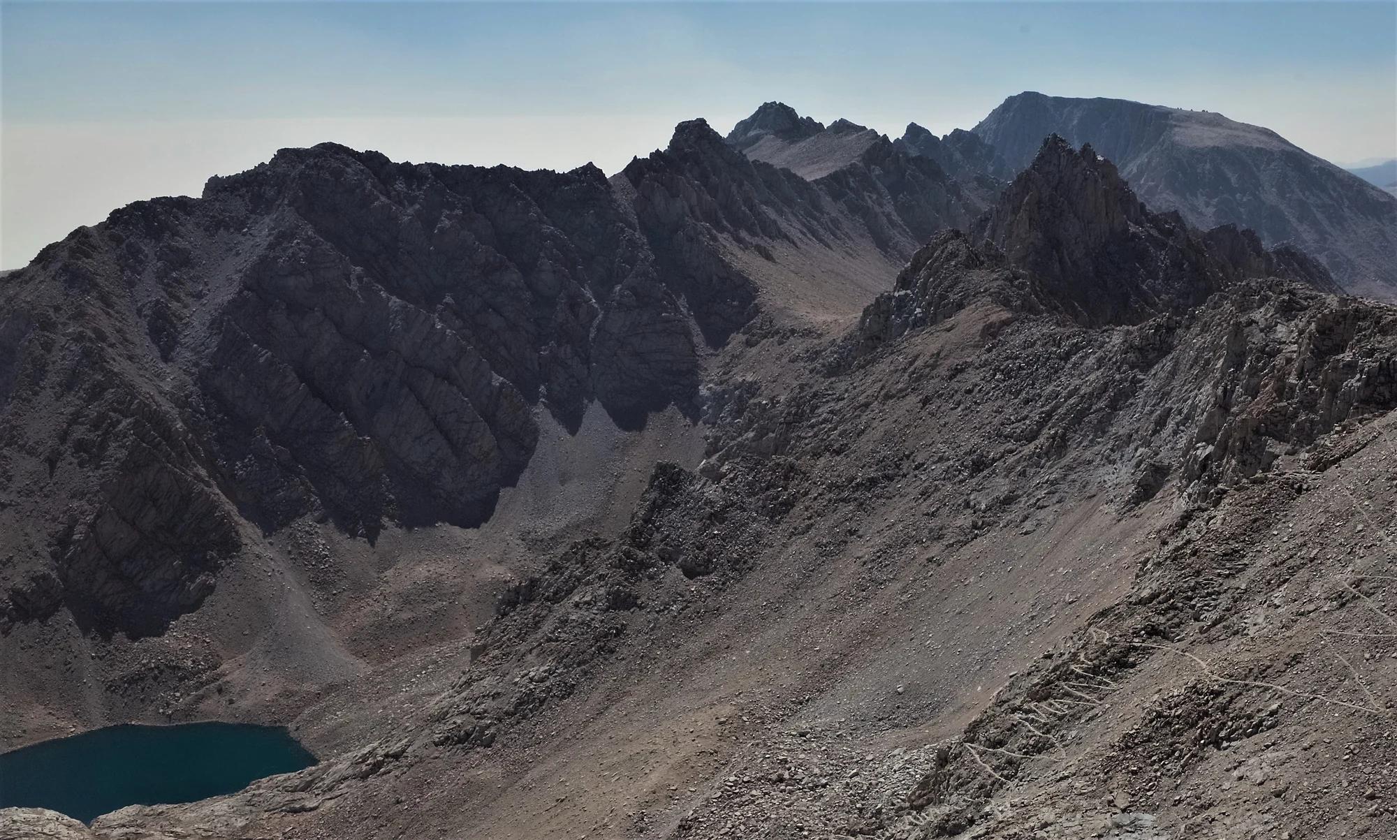
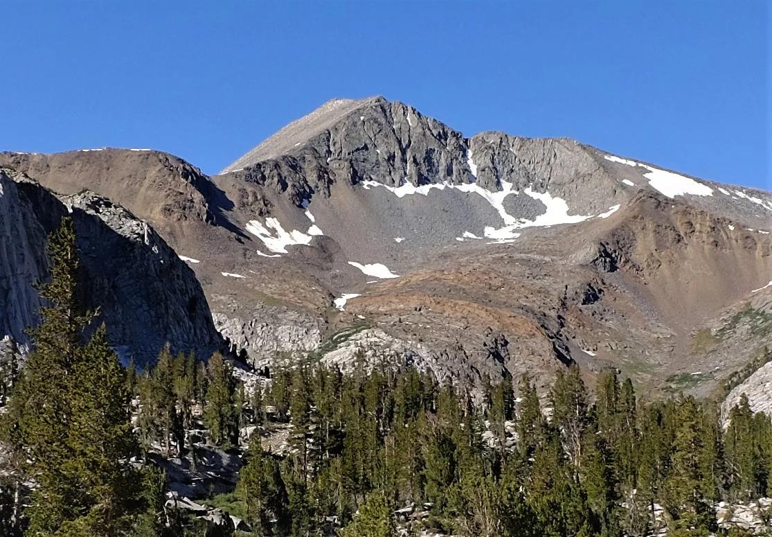
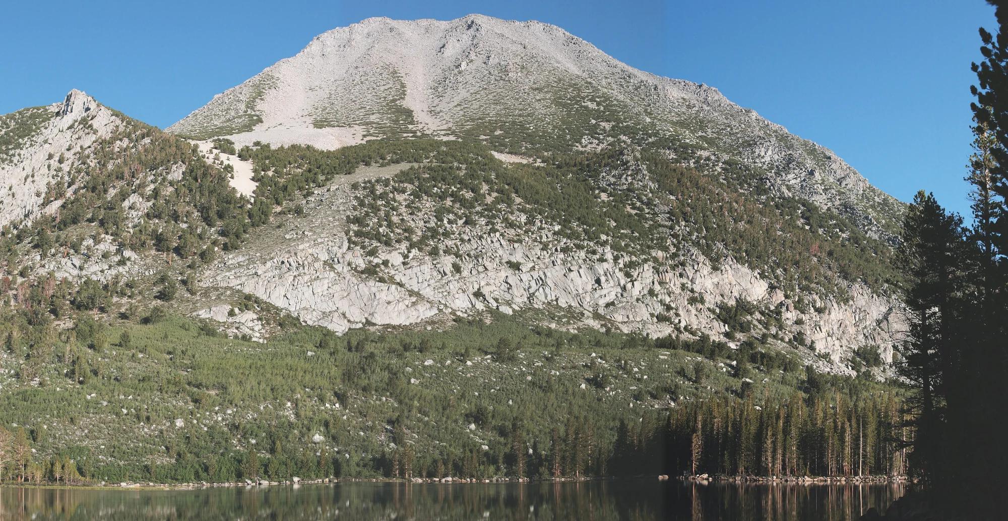
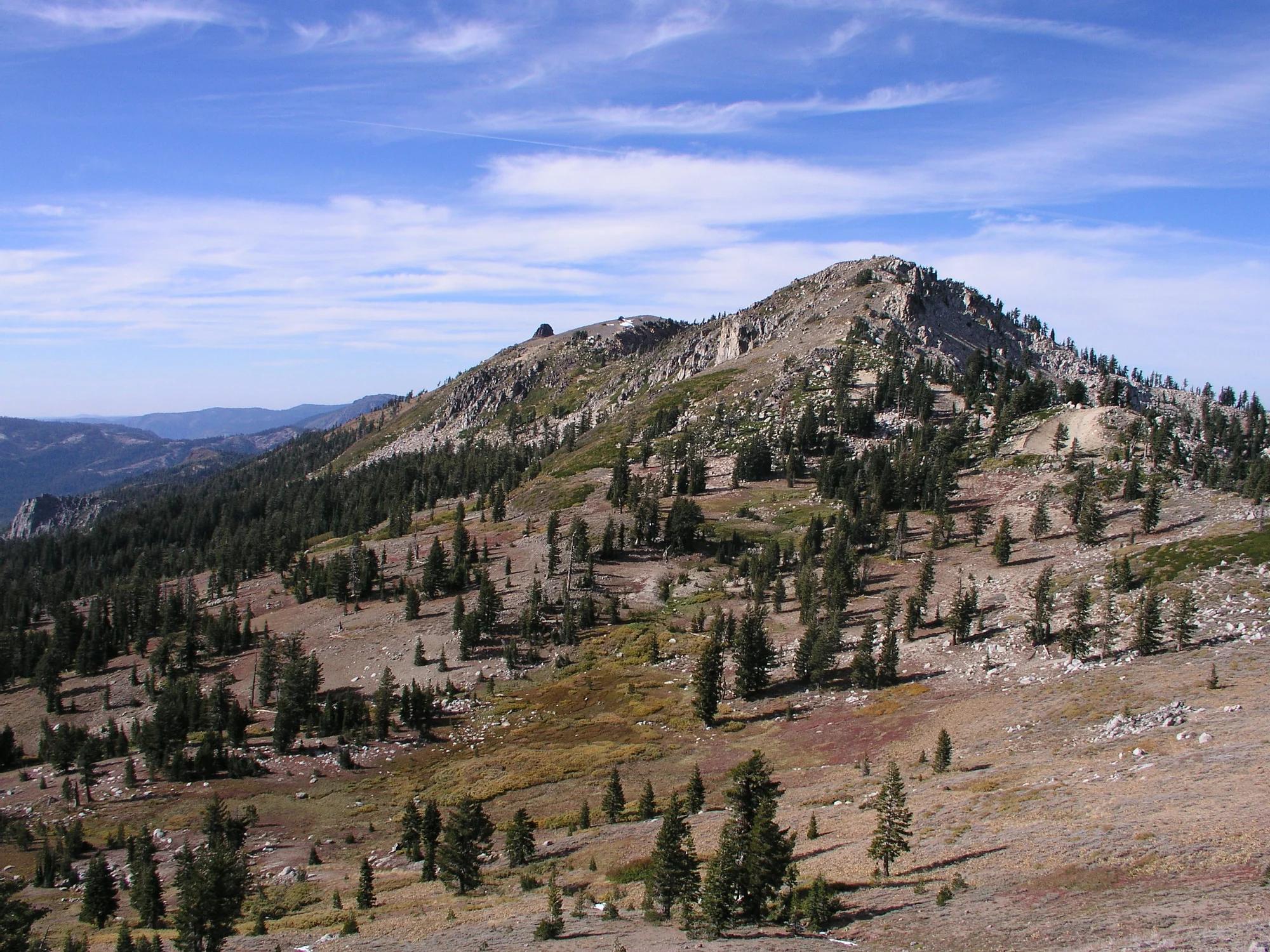
Granite Chief
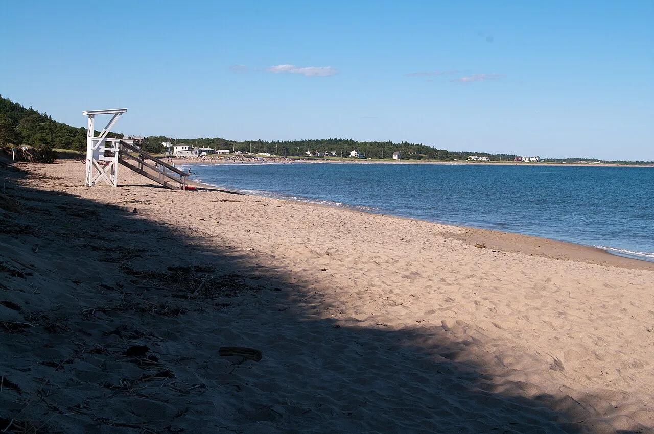
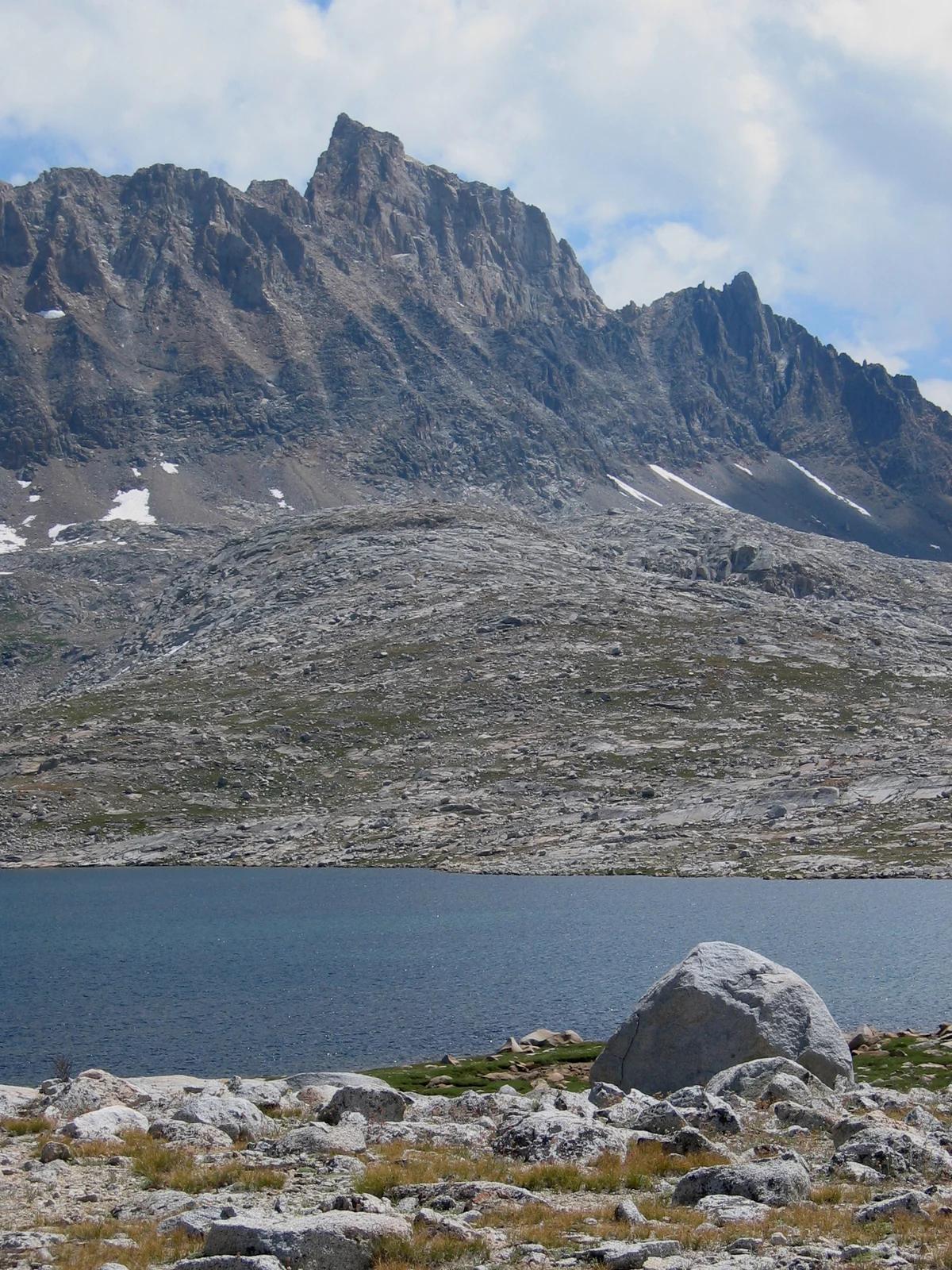
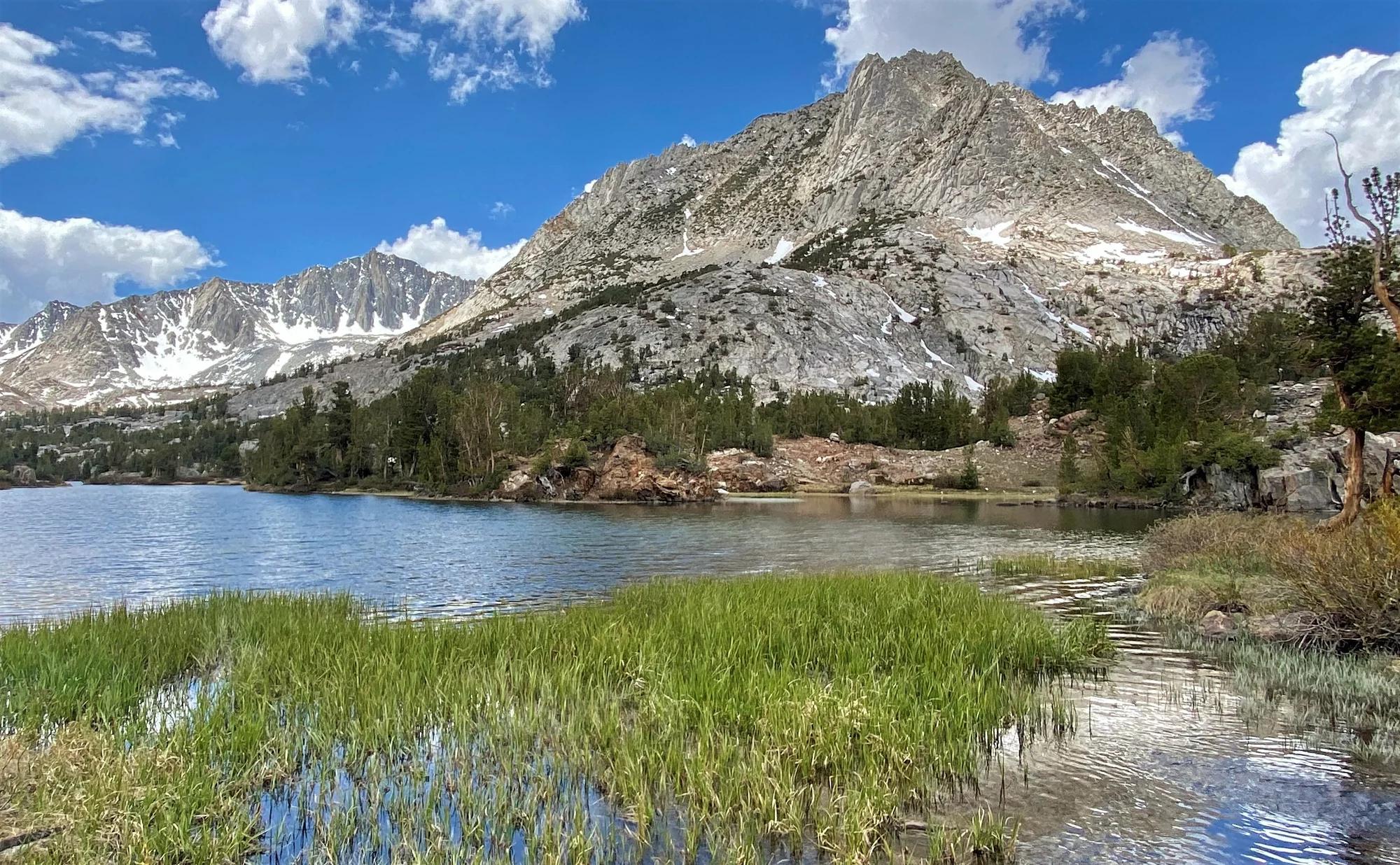
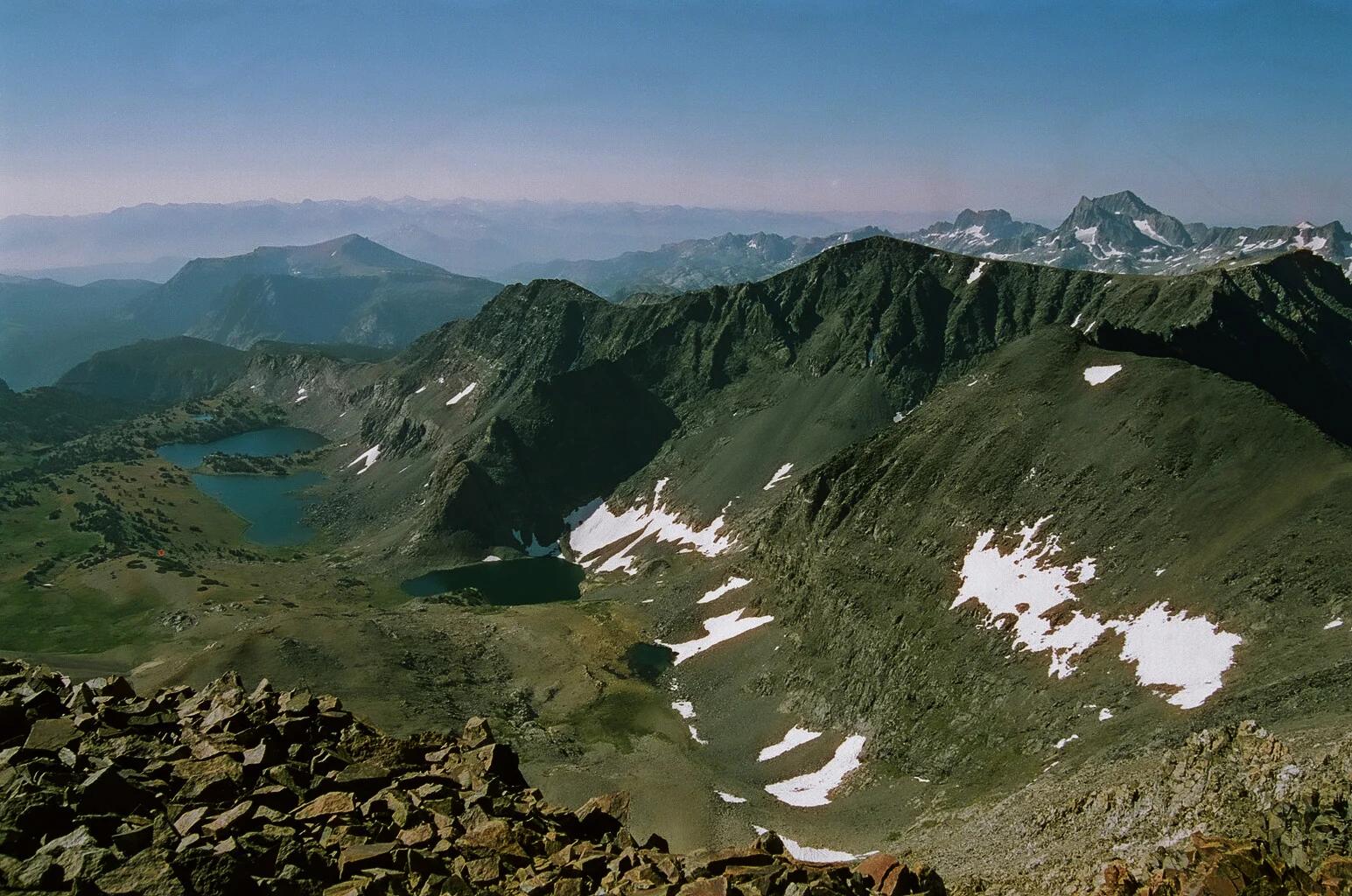
Verified California peak at 9,019 ft in Tahoe National Forest (Lake Tahoe & Northern Sierra). Linked to Western States 100 Endurance Run.
- Route
- 99 mi
- Elevation
- 9,019 ft
Browse & Discover
Canyon trails, waterfall walks, ridge traverses and high peaks.
1,216 of 2,051 places
Drag to pan. Double-click, pinch or scroll to zoom. Keyboard: arrow keys and +/−. Cards below remain available.
Loading map… Browse the spot cards below at any time.

Joshua Tree National Park
A short desert trail to the historic Barker Dam water-storage structure in Joshua Tree National Park.
Hannah Schwalbe / NPS · Public domain. Source & image licence

Eaton Canyon Natural Area
The waterfall at the head of lower Eaton Canyon, reached by a wide wash walk from the Eaton Canyon Nature Center and a final creekside scramble.
[scott.medling or en:user:scott.medling user:scott.medling from California, United States] · CC BY-SA 2.0. Source & image licence

Angeles National Forest
The ruined mountain resort of the Mount Lowe Railway, on a front-range promontory above Altadena at the top of the Lower Sam Merrill Trail.
Lennonrodgers at en.wikipedia · Public domain. Source & image licence

Escondido Canyon Park
A multi-tiered waterfall in Escondido Canyon above Malibu. The maintained trail ends at the base of the mossy lower tier.
Santa Monica Mountains National Recreation Area · Public domain. Source & image licence

Inyo National Forest
A chain of small alpine lakes at the head of Little Lakes Valley in the John Muir Wilderness, below the 13,000-foot peaks of the Bear Creek Spire cirque.
Jane S. Richardson (talk · contribs) · CC BY-SA 3.0. Source & image licence

Mount Tamalpais Watershed
A winter-and-spring cascade on Cataract Creek just below the Laurel Dell picnic area, reached downhill along the Cataract Trail from Rock Spring.
Richard Wood · CC BY-SA 3.0. Source & image licence

Joshua Tree National Park
One of the best-preserved stamp mills in Joshua Tree National Park, at the site of the Lost Horse gold mine.
Joseph from Cabin On The Road, USA · CC BY-SA 2.0. Source & image licence

Angeles National Forest
A waterfall of about fifty feet filling the head of a narrow, shaded canyon, a short walk upstream from Millard Campground.
Region 5 Photography · Public domain. Source & image licence

Inyo National Forest
A quiet lake in the Ansel Adams Wilderness beneath Parker Peak, reached through sage and an aspen-lined creek canyon off the June Lake Loop.
Mark Gunn from Novato, California, USA · CC BY 2.0. Source & image licence

Pfeiffer Big Sur State Park
A 60-foot waterfall on Pfeiffer-Redwood Creek, reached through the redwoods of Pfeiffer Big Sur State Park on a trail twice rebuilt — after the 2008 Basin Complex Fire and again after 2023 storm damage.
Joe Mabel · CC BY-SA 4.0. Source & image licence

Angeles National Forest
A 50-foot single drop into a shallow plunge pool, 1.7 mi up Big Santa Anita Canyon. Shaded the entire way in. The work is all on the walk out.
U.S. Department of Agriculture / USDA USFS · CC BY 2.0. Source & image licence

Santa Monica Mountains National Recreation Area
The ruins of the Roberts family ranch house at the end of the canyon-floor trail in Solstice Canyon, beside a small seasonal waterfall.
George Heras / Santa Monica Mountains National Recreation Area · Public domain. Source & image licence

Pfeiffer Big Sur State Park
An overlook above the Big Sur River valley, looking north over the redwoods toward Point Sur and the Pacific.
King of Hearts · CC BY-SA 3.0. Source & image licence
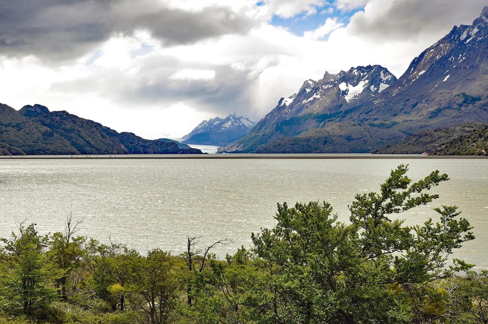
Torres del Paine National Park · Patagonia & Southern Andes · Chile
Colossal tongue of the Southern Patagonian Ice Field calving giant azure icebergs into Lago Grey, traversed by high swaying canyon suspension bridges.
Photo: P. Hughes · CC BY 4.0
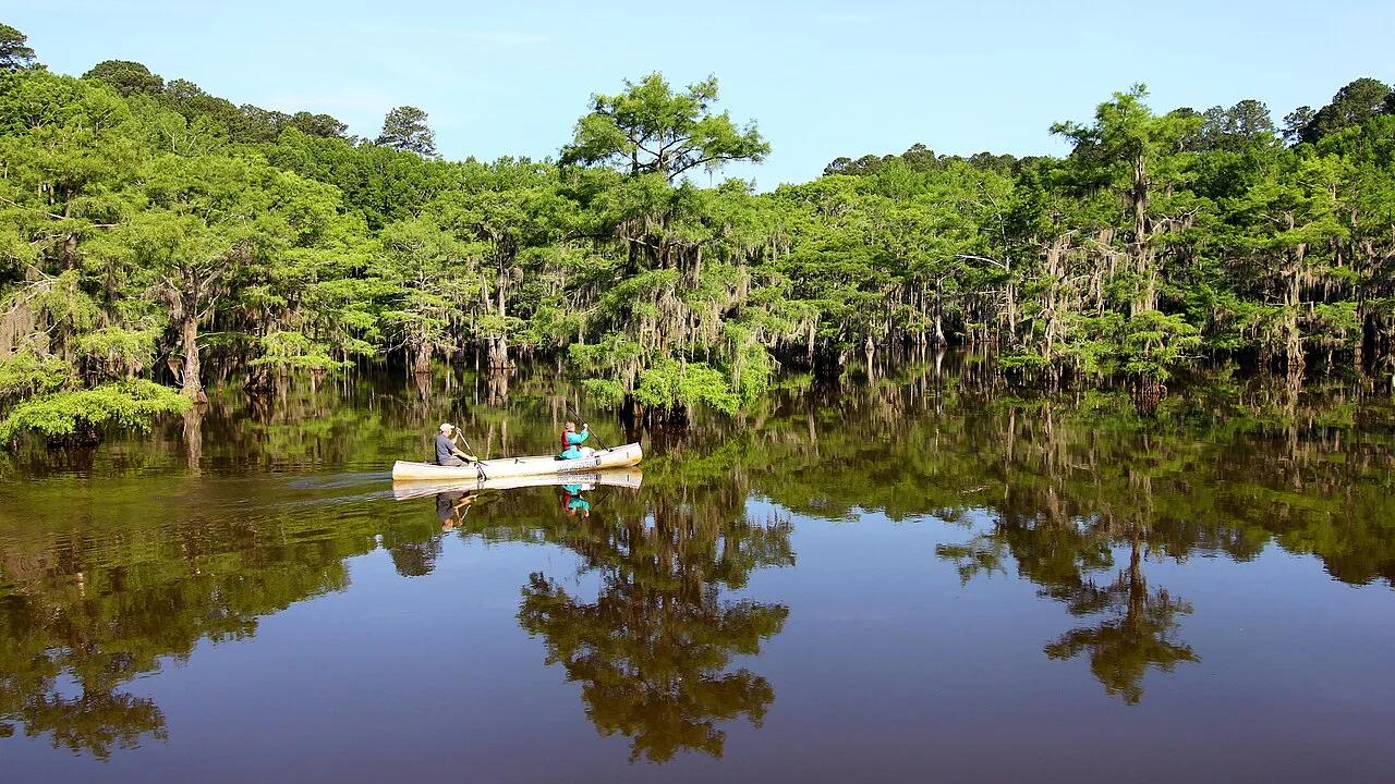
Caddo Lake State Park · Piney Woods · Texas
Eerie, primordial freshwater labyrinth of ancient bald cypress trees draped in Spanish moss, lily pads, and historic paddle trails on the Texas-Louisiana border.
Photo: Larry D. Moore · CC BY 4.0
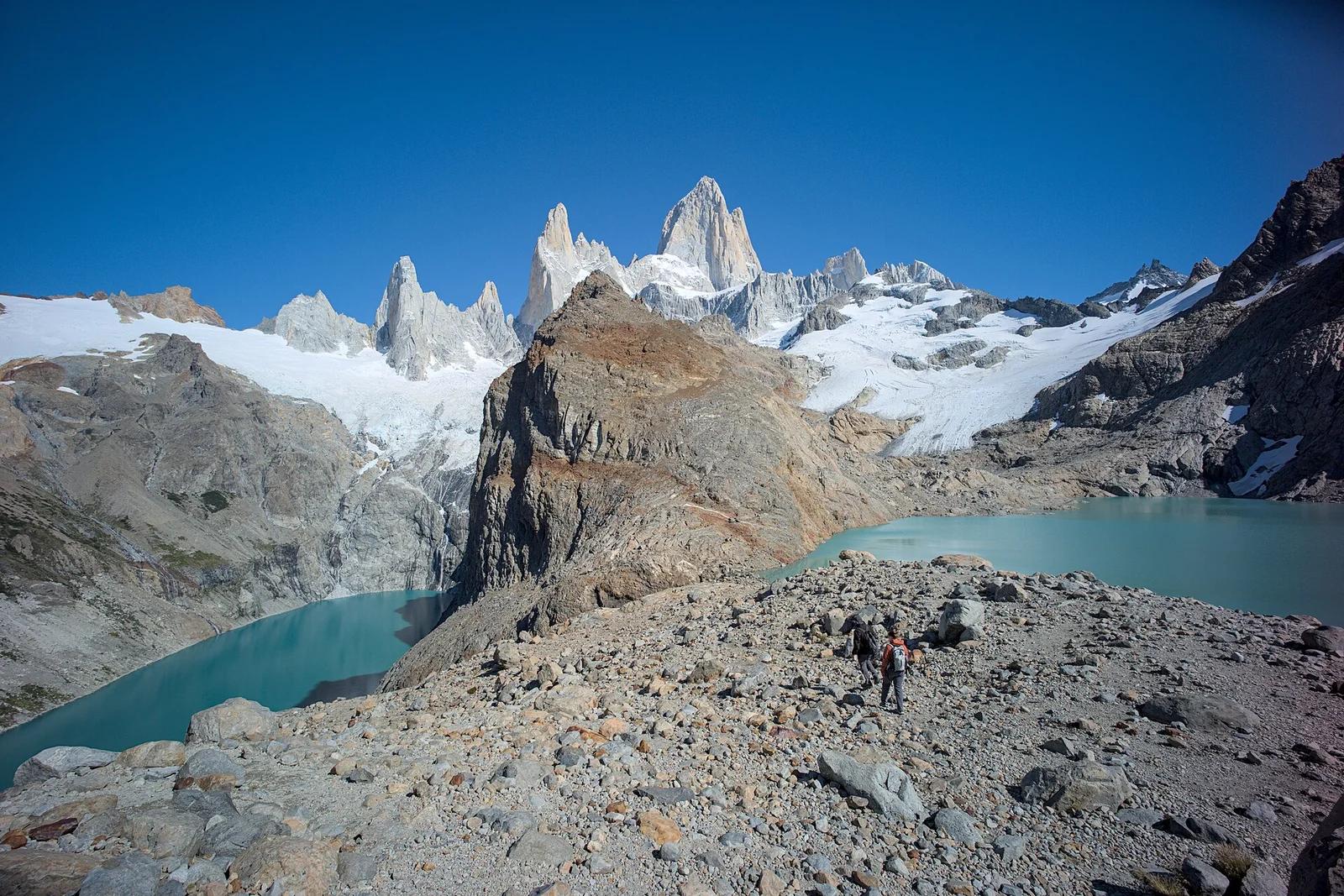
Los Glaciares National Park · Patagonia & Southern Andes · Argentina
The holy grail of Patagonian hiking: an alpine glacial tarn resting at the direct foot of Monte Fitz Roy's fang-like 3,405-metre granite towers.
Photo: Gedankenstuecke · CC BY-SA 4.0
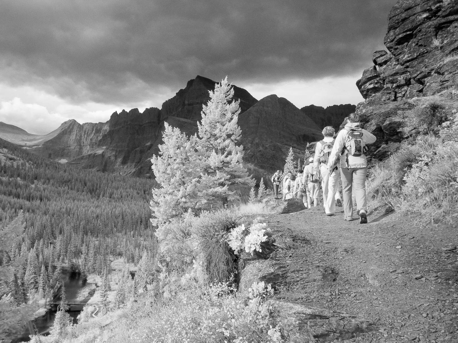
Glacier National Park · Yellowstone, Tetons & Northern Rockies · Montana
Ascends the Many Glacier Valley past emerald lakes to the terminus moraine and floating icebergs of Upper Grinnell Lake.
Photo: Greg Willis from Denver, CO, usa · CC BY-SA 2.0
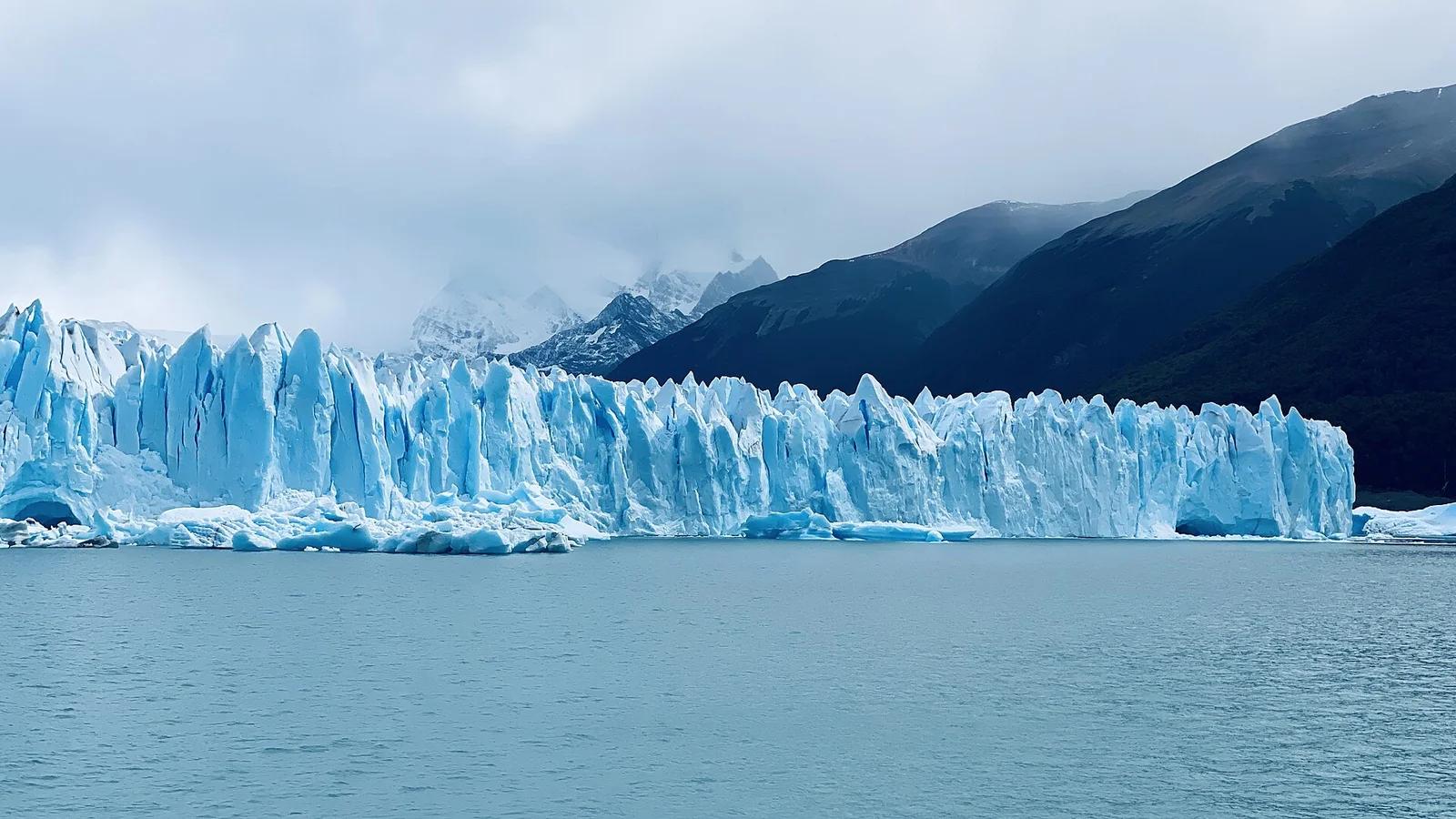
Los Glaciares National Park · Patagonia & Southern Andes · Argentina
A roaring 30-kilometre advancing ice river with a 70-metre front wall, watched from multi-tiered steel catwalks where towering ice seracs crash into Lago Argentino.
Photo: lamblukas · CC BY 2.0
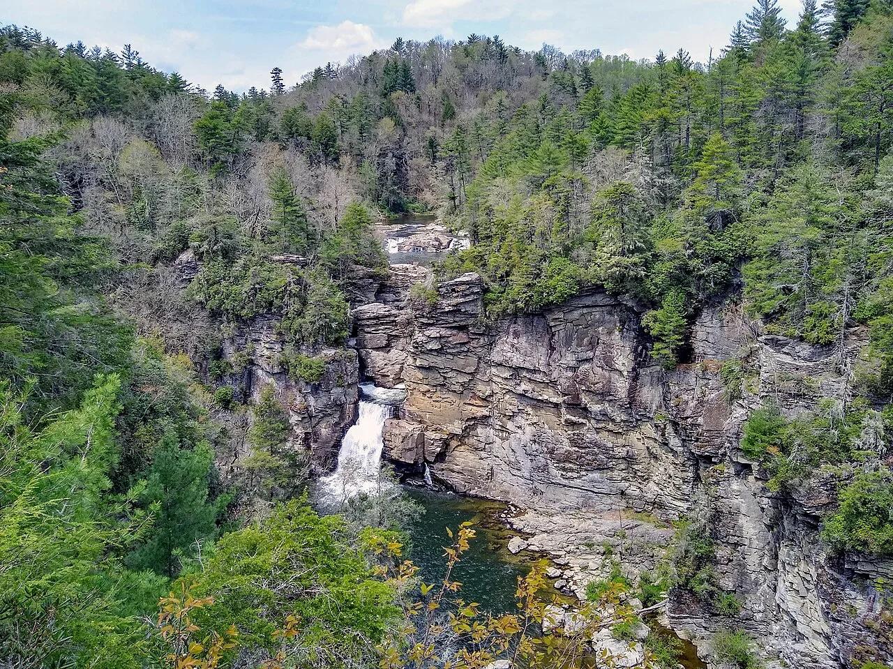
Blue Ridge Parkway / Pisgah National Forest · Appalachian & Blue Ridge · North Carolina
Three-tiered waterfall roaring into the 2,000-foot-deep Linville Gorge—the 'Grand Canyon of the Southern Appalachians.'
Photo: P. Hughes · CC BY-SA 4.0
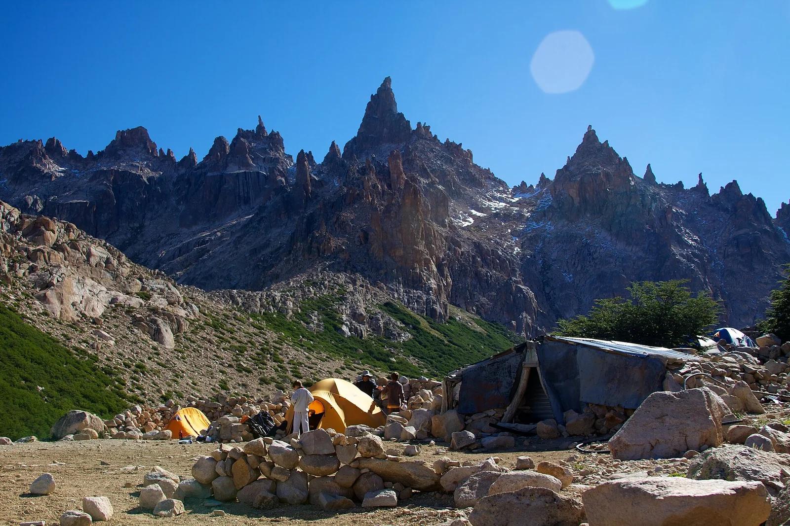
Nahuel Huapi National Park · Patagonia & Southern Andes · Argentina
Beloved alpine stone mountain hut on the shores of Laguna Toncek, encircled by orange granite needle spires famed worldwide among climbers.
Photo: McKay Savage from London, UK · CC BY 2.0
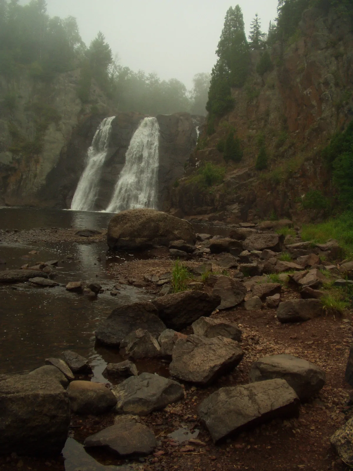
Tettegouche State Park · North Shore · Minnesota
The highest waterfall entirely within Minnesota at 60 feet, roaring through a jagged basalt canyon crossed by an iconic suspension bridge.
Photo: Rufus Sarsaparilla at English Wikipedia · Public domain
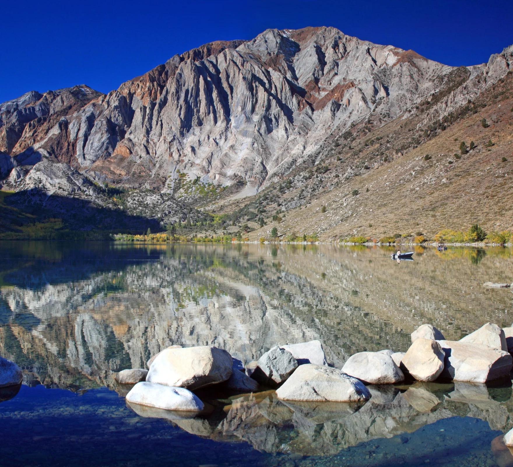
Inyo National Forest · Yosemite & Central Sierra
Verified California peak at 11,824 ft in Inyo National Forest (Yosemite & Central Sierra).
Photo: Frank Kovalchek from Anchorage, Alaska, USA · CC BY 2.0
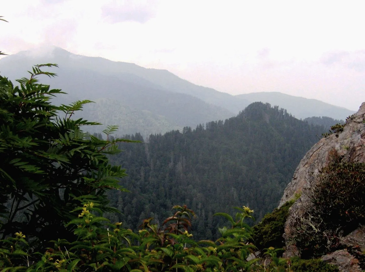
Great Smoky Mountains National Park · Appalachian & Blue Ridge · Tennessee
Dramatic Anakeesta slate crag exposed by the 1925 logging fire and 1929 cloudburst, jutting out over the North Carolina/Tennessee divide.
Photo: Brian Stansberry · CC BY 2.5
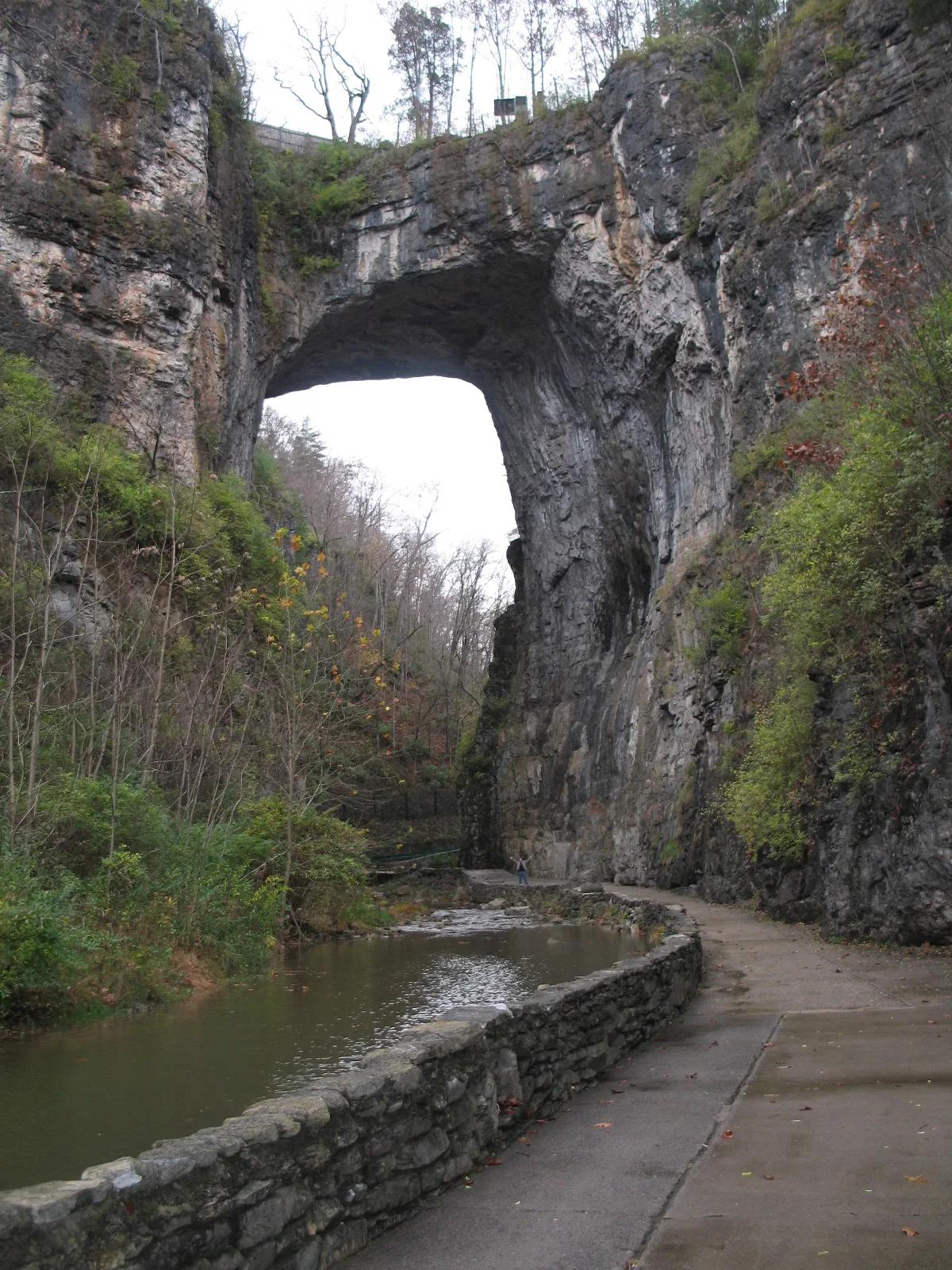
Natural Bridge State Park · Appalachian & Blue Ridge · Virginia
215-foot-high natural Ordovician limestone bridge carved by Cedar Creek in the Shenandoah Valley.
Photo: Originally uploaded by Bill (Transferred by rohith_goura) · CC BY 2.5
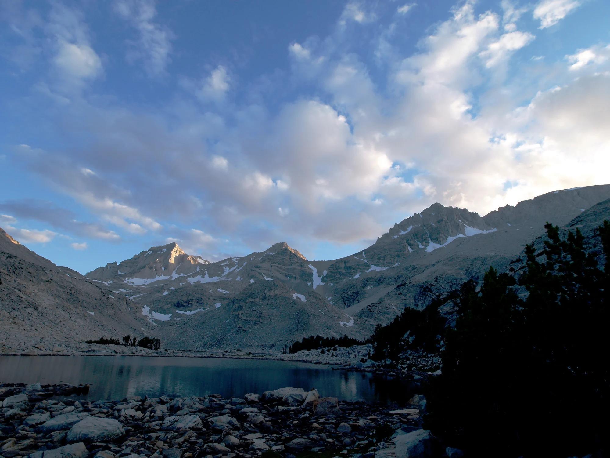
Inyo National Forest · Yosemite & Central Sierra
Verified California peak at 13,458 ft in Inyo National Forest (Yosemite & Central Sierra).
Photo: Jonathan Fox from Carson City, United States · CC BY-SA 2.0
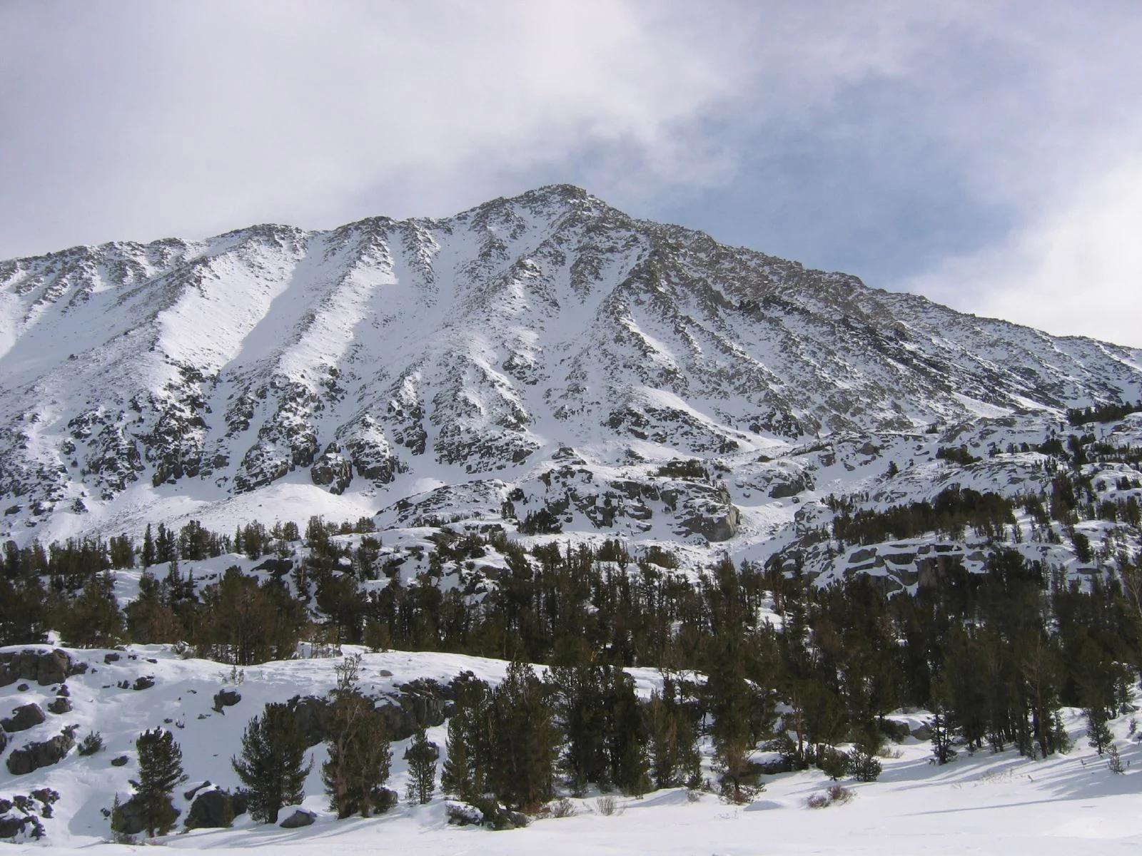
Inyo National Forest · Yosemite & Central Sierra
Verified California peak at 13,734 ft in Inyo National Forest (Yosemite & Central Sierra).
Photo: Gregory Bryson from San Diego, CA, USA · CC BY 2.0
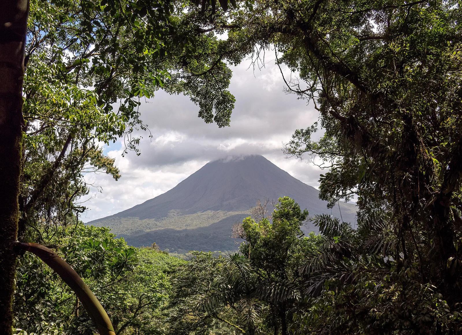
Arenal Volcano National Park · Costa Rica, Brazil & Latin America · Costa Rica
Iconic symmetrical stratovolcano rising dramatically above lush rainforest canopies, hanging bridges, and the 70-metre plunge pool of La Fortuna Waterfall.
Photo: Rhododendrites · CC BY-SA 4.0
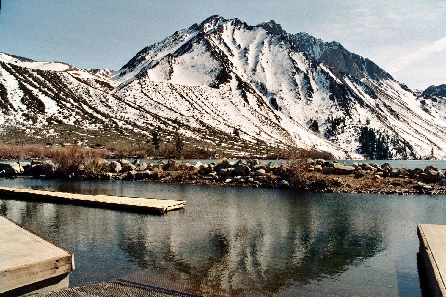
Inyo National Forest · Yosemite & Central Sierra
Verified California peak at 12,241 ft in Inyo National Forest (Yosemite & Central Sierra).
Photo: The original uploader was Geographer at English Wikipedia . · CC BY 1.0
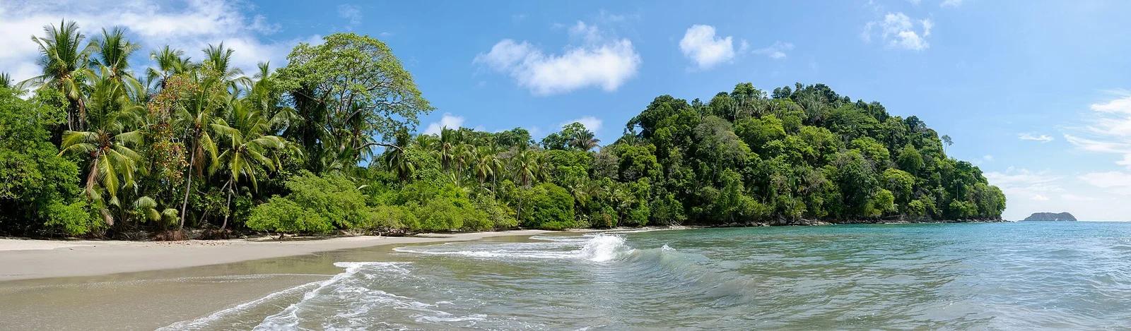
Manuel Antonio National Park · Costa Rica, Brazil & Latin America · Costa Rica
Where primary coastal rainforest meets secluded white-sand Pacific beaches, populated by sloths, capuchin monkeys, and rich tropical tidepools.
Photo: Christophe Meneboeuf · CC BY-SA 3.0