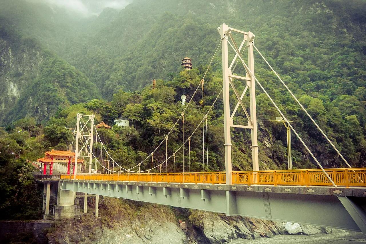
Canyon
Taroko National Park · East Asia · Taiwan
Shakadang Turquoise River & Swallow Grotto (Taroko Gorge)
1,000-meter marble canyon walls and hand-chiseled cliff tunnels above the neon-blue Liwu and Shakadang rivers.
- Route
- 5.3 mi
- Climb
- 410 ft
Browse & Discover
Canyon trails, waterfall walks, ridge traverses and high peaks.
1,216 of 2,051 places
Drag to pan. Double-click, pinch or scroll to zoom. Keyboard: arrow keys and +/−. Cards below remain available.
Loading map… Browse the spot cards below at any time.

Joshua Tree National Park
A short desert trail to the historic Barker Dam water-storage structure in Joshua Tree National Park.
Hannah Schwalbe / NPS · Public domain. Source & image licence

Eaton Canyon Natural Area
The waterfall at the head of lower Eaton Canyon, reached by a wide wash walk from the Eaton Canyon Nature Center and a final creekside scramble.
[scott.medling or en:user:scott.medling user:scott.medling from California, United States] · CC BY-SA 2.0. Source & image licence

Angeles National Forest
The ruined mountain resort of the Mount Lowe Railway, on a front-range promontory above Altadena at the top of the Lower Sam Merrill Trail.
Lennonrodgers at en.wikipedia · Public domain. Source & image licence

Escondido Canyon Park
A multi-tiered waterfall in Escondido Canyon above Malibu. The maintained trail ends at the base of the mossy lower tier.
Santa Monica Mountains National Recreation Area · Public domain. Source & image licence

Inyo National Forest
A chain of small alpine lakes at the head of Little Lakes Valley in the John Muir Wilderness, below the 13,000-foot peaks of the Bear Creek Spire cirque.
Jane S. Richardson (talk · contribs) · CC BY-SA 3.0. Source & image licence

Mount Tamalpais Watershed
A winter-and-spring cascade on Cataract Creek just below the Laurel Dell picnic area, reached downhill along the Cataract Trail from Rock Spring.
Richard Wood · CC BY-SA 3.0. Source & image licence

Joshua Tree National Park
One of the best-preserved stamp mills in Joshua Tree National Park, at the site of the Lost Horse gold mine.
Joseph from Cabin On The Road, USA · CC BY-SA 2.0. Source & image licence

Angeles National Forest
A waterfall of about fifty feet filling the head of a narrow, shaded canyon, a short walk upstream from Millard Campground.
Region 5 Photography · Public domain. Source & image licence

Inyo National Forest
A quiet lake in the Ansel Adams Wilderness beneath Parker Peak, reached through sage and an aspen-lined creek canyon off the June Lake Loop.
Mark Gunn from Novato, California, USA · CC BY 2.0. Source & image licence

Pfeiffer Big Sur State Park
A 60-foot waterfall on Pfeiffer-Redwood Creek, reached through the redwoods of Pfeiffer Big Sur State Park on a trail twice rebuilt — after the 2008 Basin Complex Fire and again after 2023 storm damage.
Joe Mabel · CC BY-SA 4.0. Source & image licence

Angeles National Forest
A 50-foot single drop into a shallow plunge pool, 1.7 mi up Big Santa Anita Canyon. Shaded the entire way in. The work is all on the walk out.
U.S. Department of Agriculture / USDA USFS · CC BY 2.0. Source & image licence

Santa Monica Mountains National Recreation Area
The ruins of the Roberts family ranch house at the end of the canyon-floor trail in Solstice Canyon, beside a small seasonal waterfall.
George Heras / Santa Monica Mountains National Recreation Area · Public domain. Source & image licence

Pfeiffer Big Sur State Park
An overlook above the Big Sur River valley, looking north over the redwoods toward Point Sur and the Pacific.
King of Hearts · CC BY-SA 3.0. Source & image licence
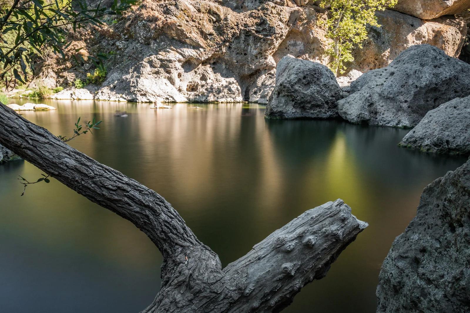
Malibu Creek State Park · Southern California
A freshwater swimming basin surrounded by dramatic volcanic cliffs in the heart of the Santa Monica Mountains.
Photo: Santa Monica Mountains National Recreation Area · Public domain
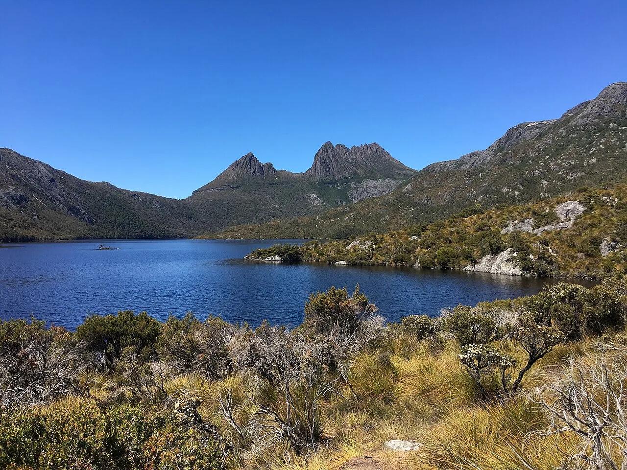
Cradle Mountain-Lake St Clair National Park (UNESCO) · Oceania · Australia
Jagged Jurassic dolerite spires mirrored in dark glacial Dove Lake, ringed by deciduous beech (fagus) and button-grass moorlands.
Photo: BennyG3255 · CC BY-SA 4.0
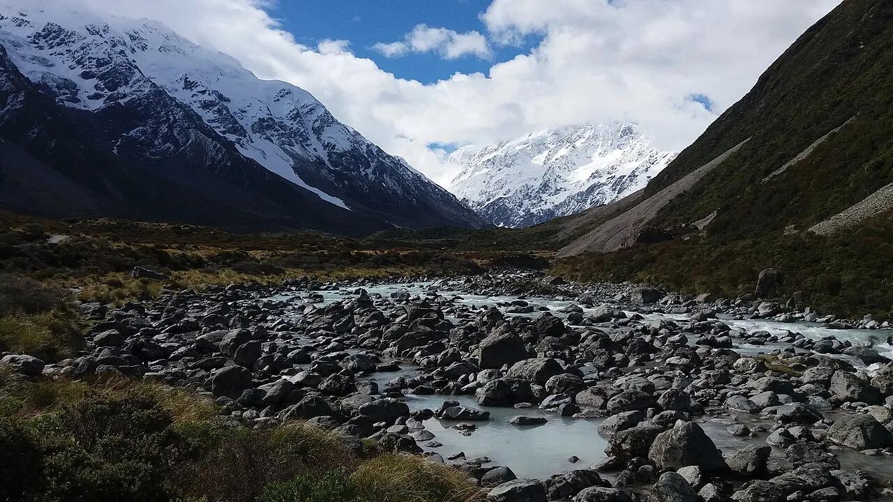
Aoraki / Mount Cook National Park (Southern Alps) · Oceania · New Zealand
Three dramatic swing bridges crossing the roaring Hooker River to an iceberg-filled proglacial lake facing 3,724-meter Aoraki / Mount Cook.
Photo: Bonito Coquito · CC BY-SA 4.0
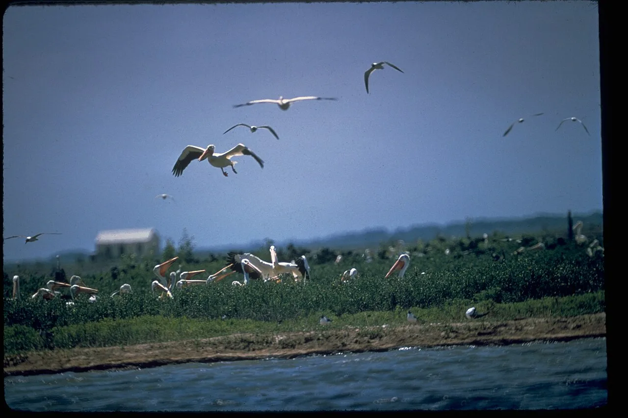
Padre Island National Seashore · Gulf Coast · Texas
The longest undeveloped barrier island in the world, featuring 70 miles of protected Gulf dunes, sea turtle nesting grounds, and shell-strewn sandbars.
Photo: National Park Service Digital Image Archives · Public domain
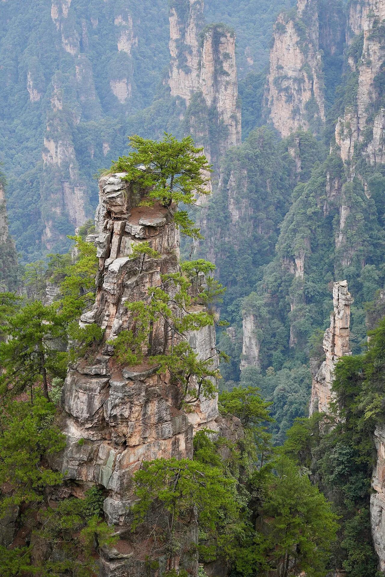
Zhangjiajie National Forest Park (UNESCO World Heritage) · East Asia · China
Over 3,000 vertical 200-meter Devonian quartz-sandstone pillars rising through subtropical mist along the Golden Whip Stream.
Photo: Lianguanlun · CC BY 4.0
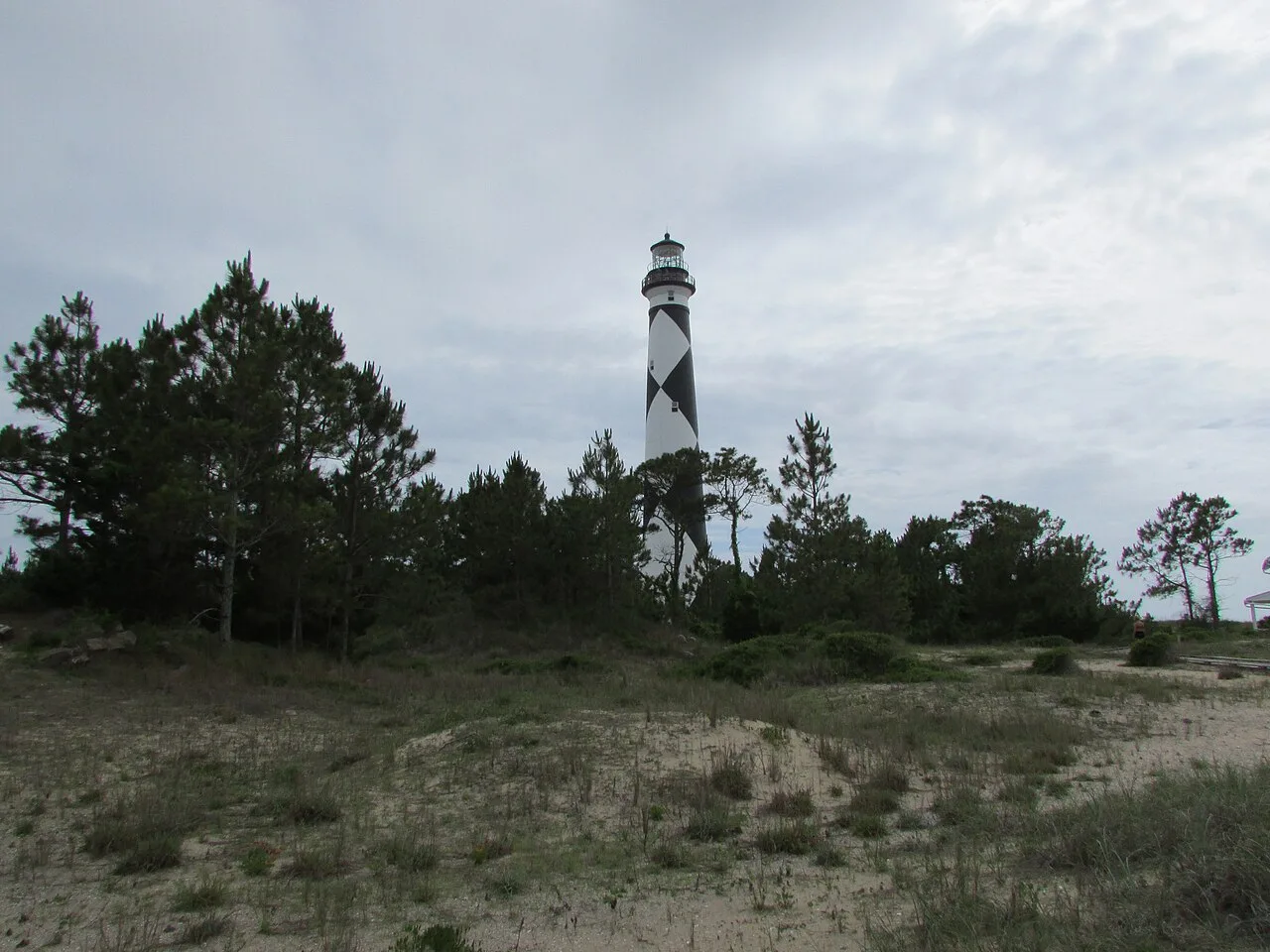
Cape Lookout National Seashore (Outer Banks) · Atlantic & Gulf Coasts · North Carolina
56 miles of undeveloped boat-access barrier island beaches beneath the iconic black-and-white diamond Cape Lookout Lighthouse.
Photo: DrStew82 · CC BY-SA 4.0
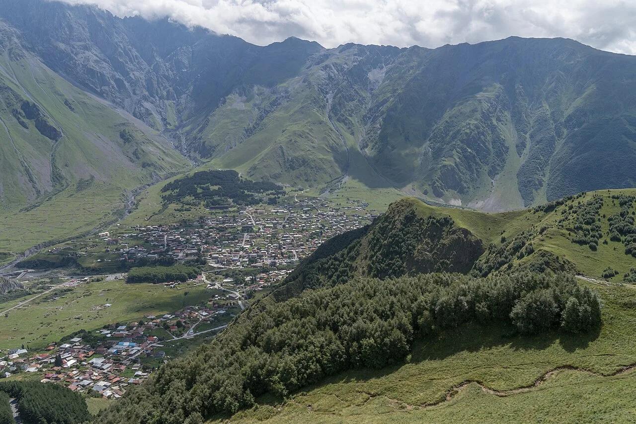
Kazbegi National Park (Greater Caucasus) · Central Europe · Georgia
14th-century stone mountain sanctuary perched on an alpine ridge beneath the 5,054-meter ice dome of Mount Kazbek (Mkinvartsveri).
Photo: Alexkom000 · CC BY 4.0
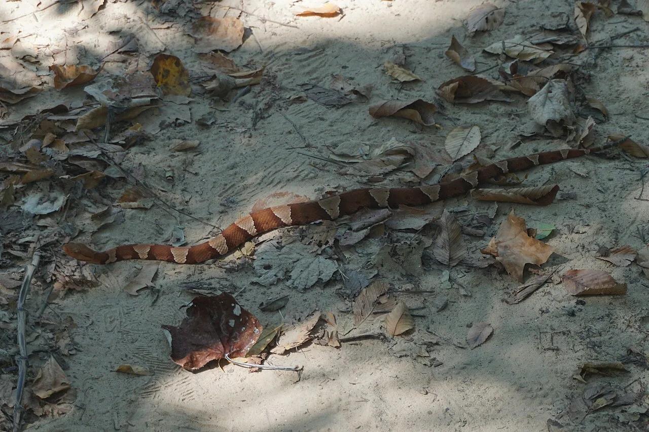
Dinosaur Valley State Park · North Texas Hill Country · Texas
Walk directly alongside fossilized 113-million-year-old sauropod and theropod dinosaur footprints embedded in the limestone bed of the Paluxy River.
Photo: Michael Barera · CC BY-SA 4.0
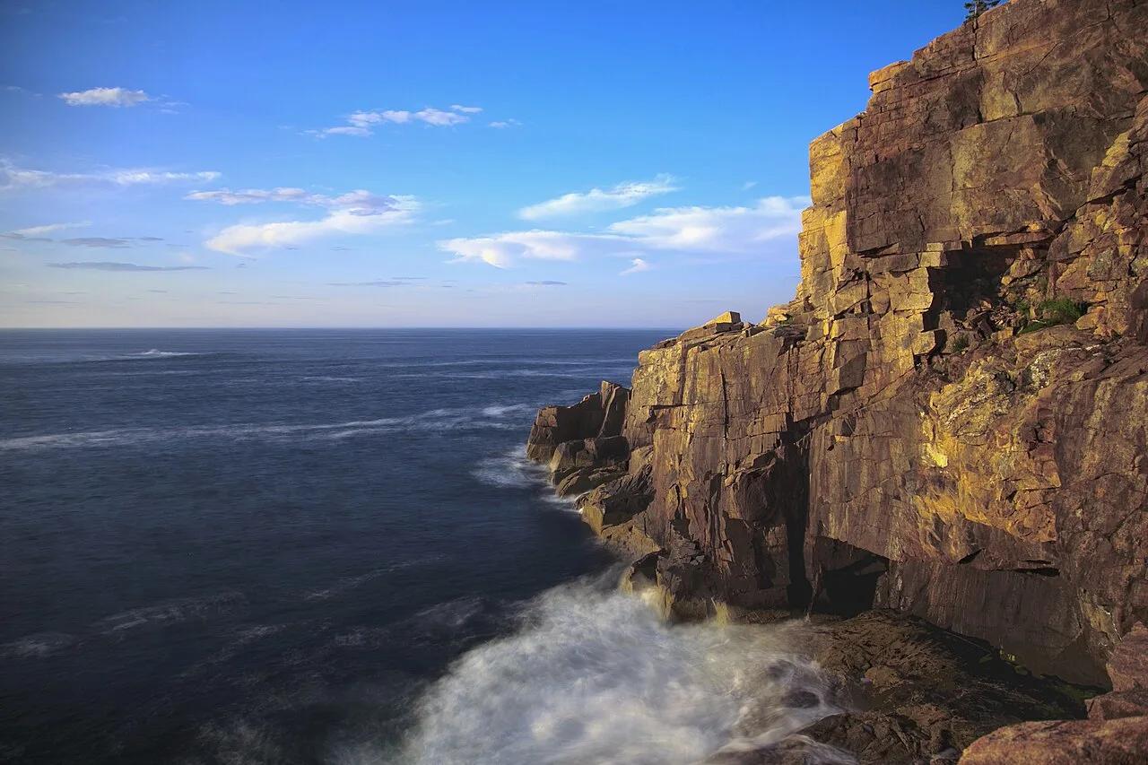
Acadia National Park (Mount Desert Island) · Northeast & New England · Maine
Spruce-fir coastal forest campground linked by footpath to the pink granite sea cliffs of Otter Point and Gorham Mountain.
Photo: National Park Service / Matthew Lambert (Acadia Youth Technology Team) deriva... · Public domain
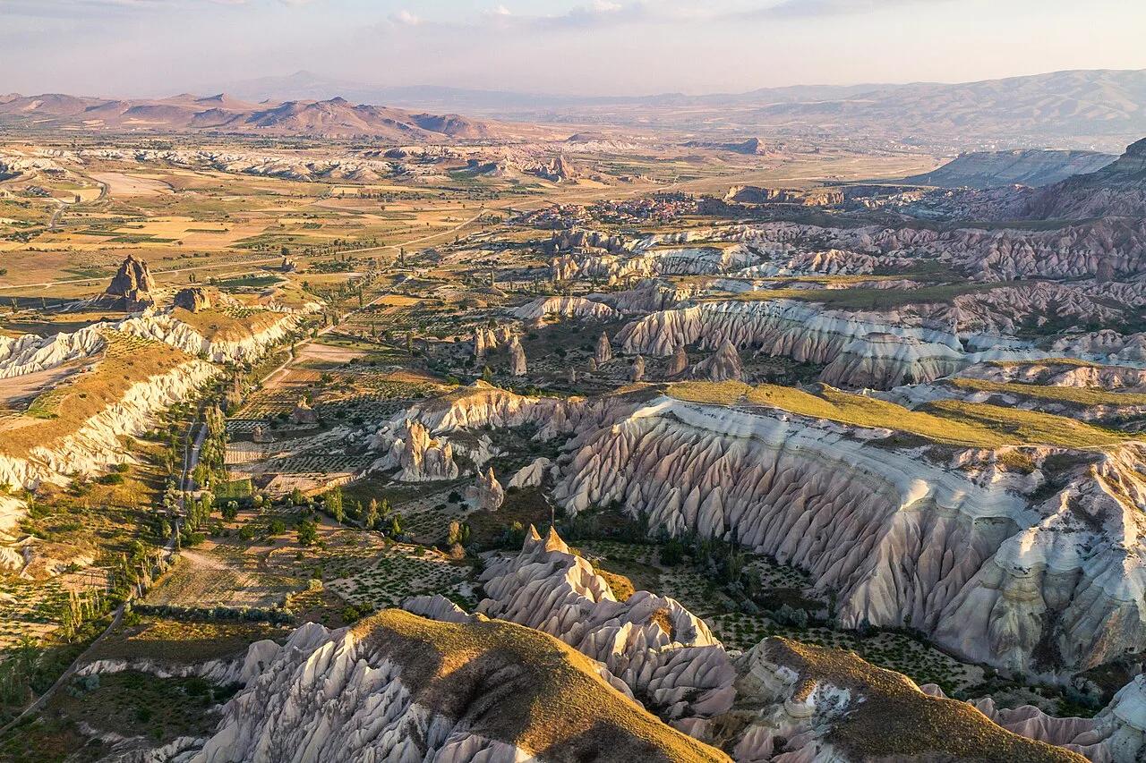
Göreme Historical National Park (UNESCO World Heritage) · Mediterranean Europe · Turkey
Sculpted pink-and-rose volcanic ignimbrite canyons, hoodoo fairy chimneys, and rock-cut Byzantine cave chapels.
Photo: Benh LIEU SONG (Flickr) · CC BY-SA 4.0