Hiking trail
2 photosAcadia National Park · New England & Adirondacks · Maine
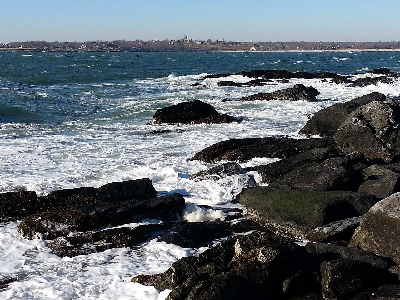
Ocean Path & Thunder Hole
Traces pink granite coastal headlands from Sand Beach past the booming sea-surge of Thunder Hole to Otter Cliff.
- Route
- 2.2 mi
- Climb
- 118 ft
Browse & Discover
Canyon trails, waterfall walks, ridge traverses and high peaks.
694 of 2,051 places
Drag to pan. Double-click, pinch or scroll to zoom. Keyboard: arrow keys and +/−. Cards below remain available.
Loading map… Browse the spot cards below at any time.

Joshua Tree National Park
A short desert trail to the historic Barker Dam water-storage structure in Joshua Tree National Park.
Hannah Schwalbe / NPS · Public domain. Source & image licence

Angeles National Forest
The ruined mountain resort of the Mount Lowe Railway, on a front-range promontory above Altadena at the top of the Lower Sam Merrill Trail.
Lennonrodgers at en.wikipedia · Public domain. Source & image licence

Angeles National Forest
A high saddle and five-way trail junction on the Cucamonga Wilderness ridge, at the top of the steady climb up Icehouse Canyon.
Jason Hollinger · CC BY 2.0. Source & image licence

Joshua Tree National Park
One of the best-preserved stamp mills in Joshua Tree National Park, at the site of the Lost Horse gold mine.
Joseph from Cabin On The Road, USA · CC BY-SA 2.0. Source & image licence
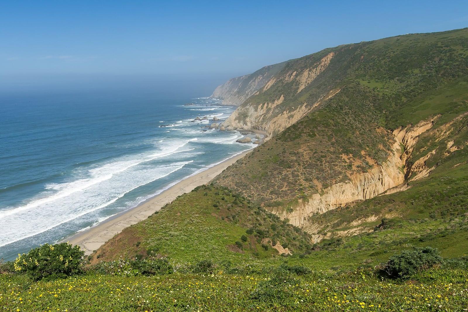
Point Reyes National Seashore
The northern tip of the Point Reyes peninsula, reached across the open bluffs of the Tomales Point Tule Elk Reserve.
Frank Schulenburg · CC BY-SA 4.0. Source & image licence

Santa Monica Mountains National Recreation Area
The ruins of the Roberts family ranch house at the end of the canyon-floor trail in Solstice Canyon, beside a small seasonal waterfall.
George Heras / Santa Monica Mountains National Recreation Area · Public domain. Source & image licence

Pfeiffer Big Sur State Park
An overlook above the Big Sur River valley, looking north over the redwoods toward Point Sur and the Pacific.
King of Hearts · CC BY-SA 3.0. Source & image licence
Acadia National Park · New England & Adirondacks · Maine
Traces pink granite coastal headlands from Sand Beach past the booming sea-surge of Thunder Hole to Otter Cliff.
Photo: w:User:Michael180 (User:ThePlaz on Commons) · CC BY-SA 2.5
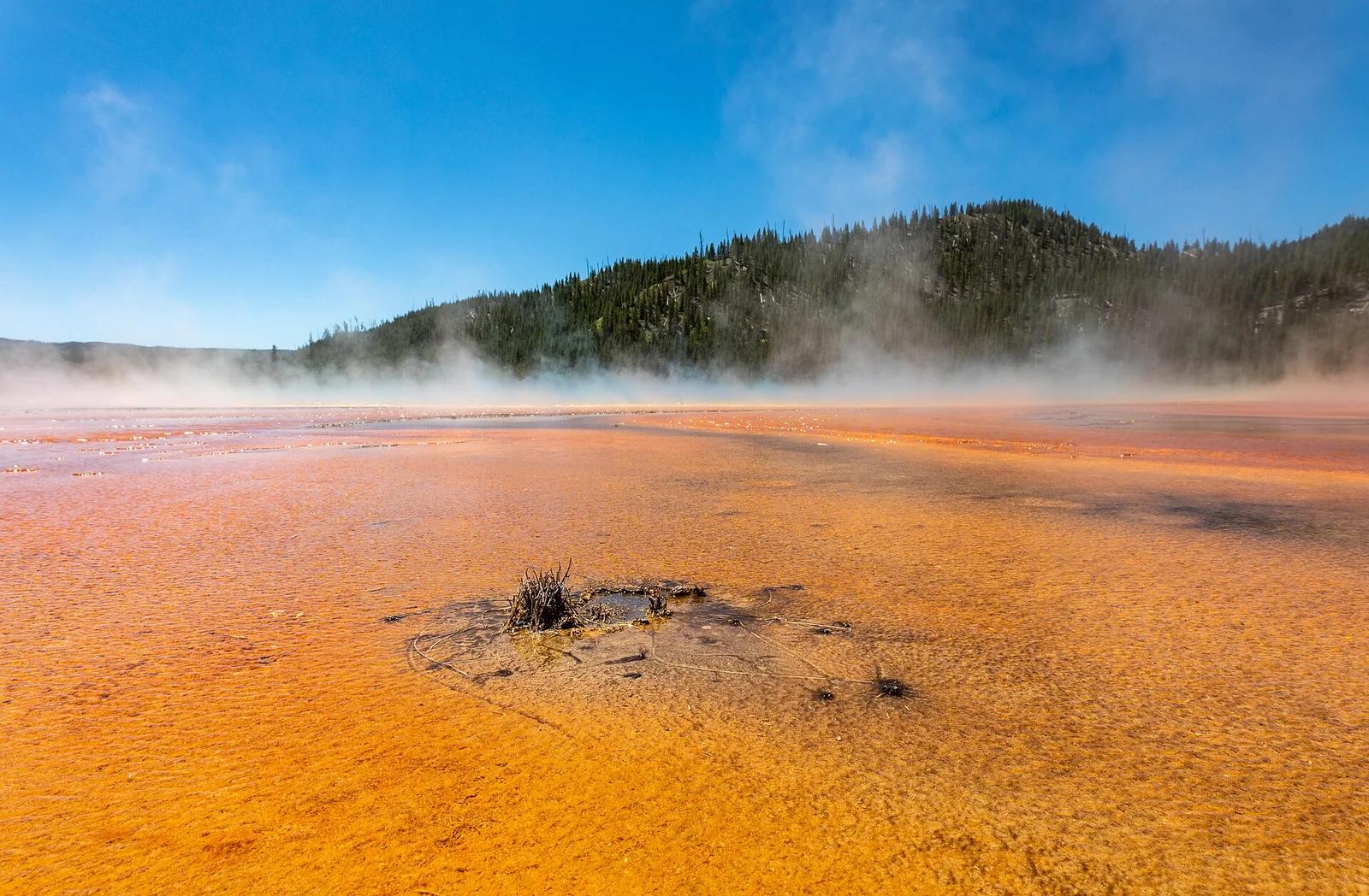
Yellowstone National Park · Yellowstone, Tetons & Northern Rockies · Wyoming
Elevated viewpoint looking down onto the rainbow-colored bacterial mats and steaming azure center of Grand Prismatic Spring.
Photo: Dietmar Rabich · CC BY-SA 4.0
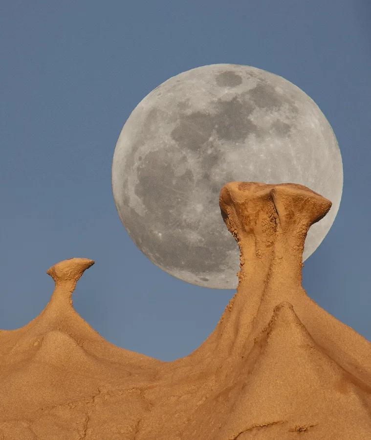
Bisti / De-Na-Zin Wilderness (BLM) · American Southwest · New Mexico
Surreal badlands of Balanced Rock, Cracked Eggs, and petrified logs eroded from Cretaceous shale and sandstone.
Photo: John Fowler from Placitas, NM, USA · CC BY 2.0
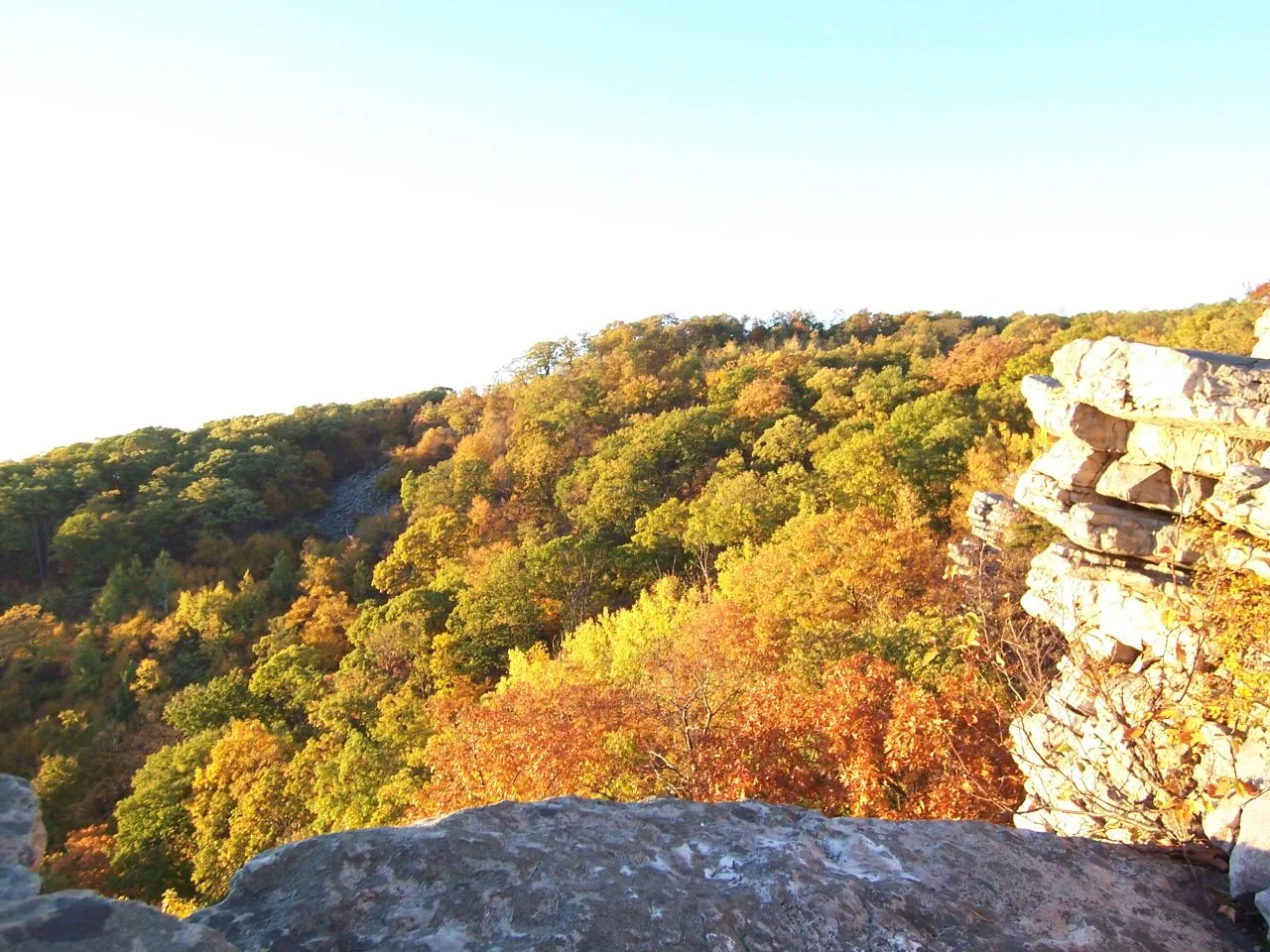
South Mountain State Park / Appalachian Trail · Western Maryland · Maryland
A dramatic 1,700-foot quartzite cliff platform on South Mountain overlooking Greenbrier Lake and the sprawling Cumberland Valley.
Photo: Flickr user: Bob Carney McHenry (Maryland) https://www.flickr.com/people/gotbob/ · CC BY 2.0
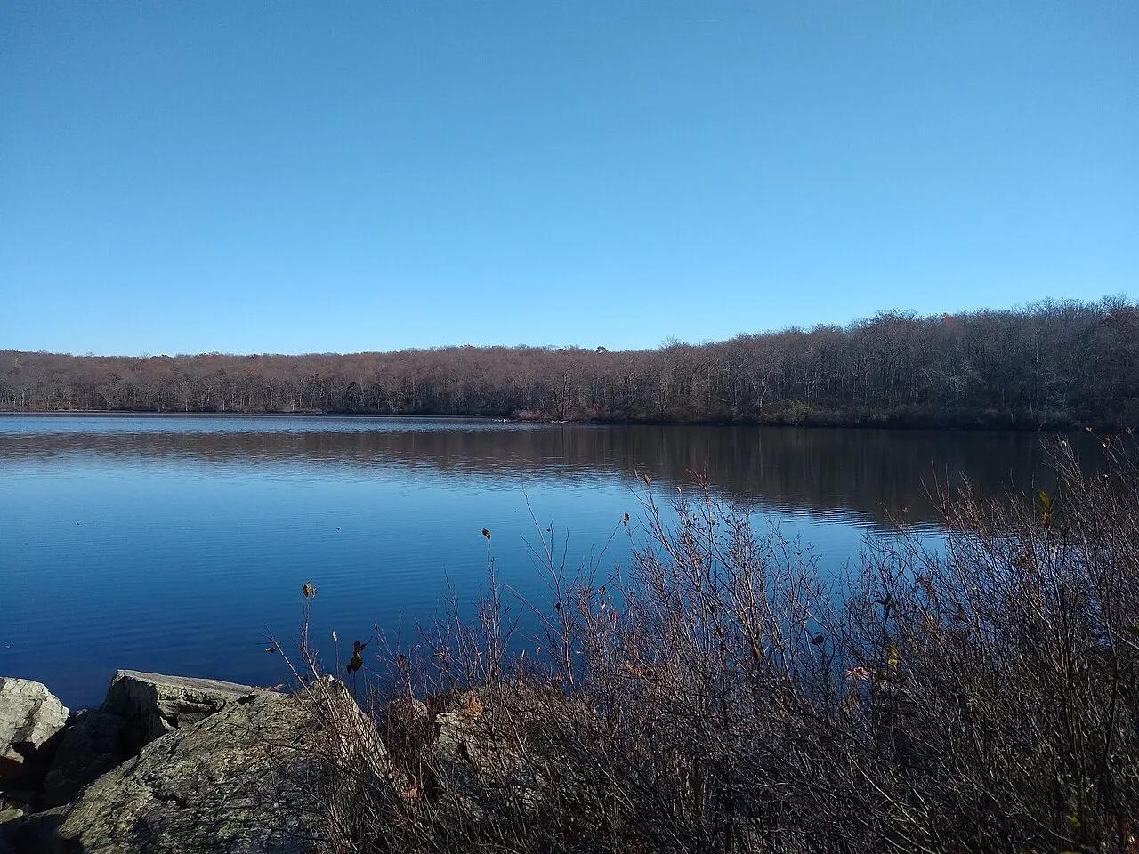
Worthington State Forest / Delaware Water Gap · Skylands / Kittatinny Ridge · New Jersey
A 28-acre pristine glacial tarn perched 1,000 feet above the Delaware River on the Appalachian National Scenic Trail.
Photo: Vanalii · CC BY-SA 4.0
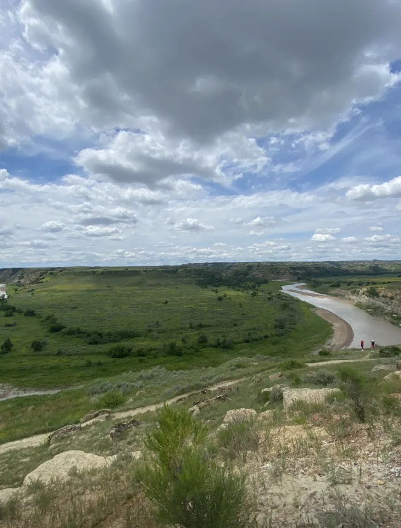
Theodore Roosevelt National Park (South Unit) · Badlands · North Dakota
Wind-sculpted sand and clay ridge overlooking an immense oxbow meander of the Little Missouri River, renowned as the premier sunset vista in the park.
Photo: Cedar Tree · CC BY-SA 4.0
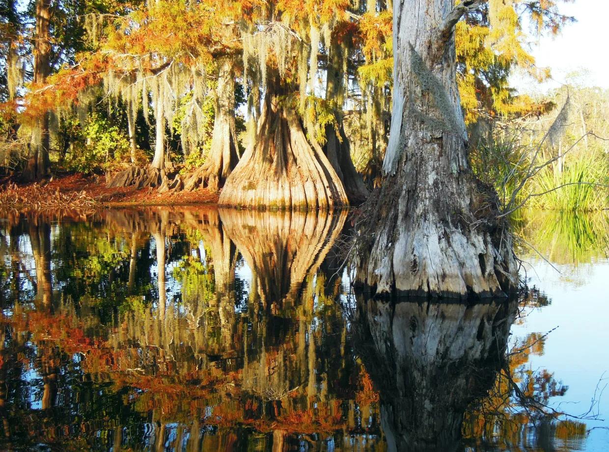
Chicot State Park (Ville Platte) · South & Gulf Coast · Louisiana
20-mile Circumferential hiking/mountain-bike trail and 8-mile marked canoe loop encircling a 2,000-acre cypress-tupelo lake and beech-magnolia hills.
Photo: jillian.e · CC BY 2.0
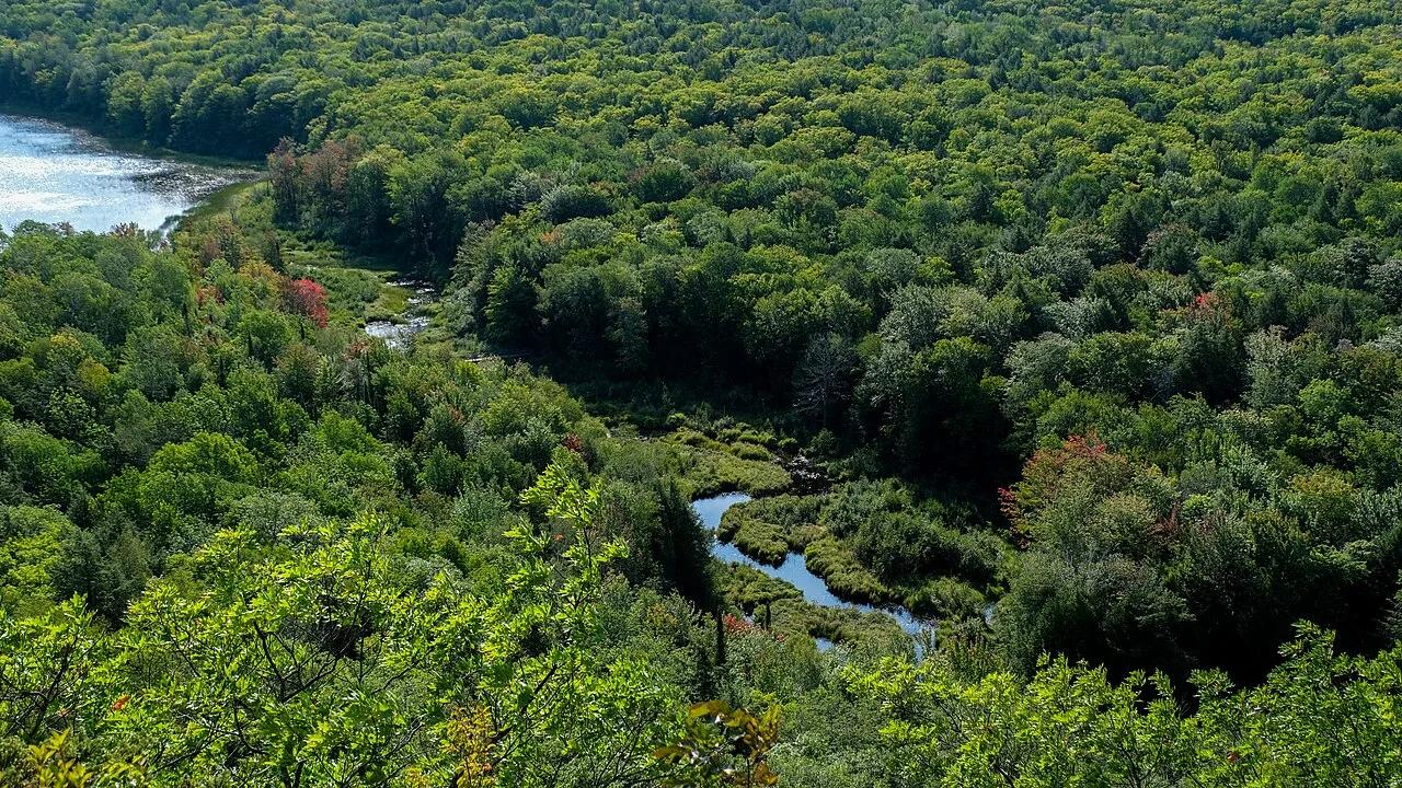
Porcupine Mountains Wilderness State Park · Midwest & Great Lakes · Michigan
Old-growth northern hardwood wilderness valley and Carp River lakes viewed from a sheer basalt ridge in Michigan's Upper Peninsula.
Photo: Sharon Mollerus · CC BY 2.0
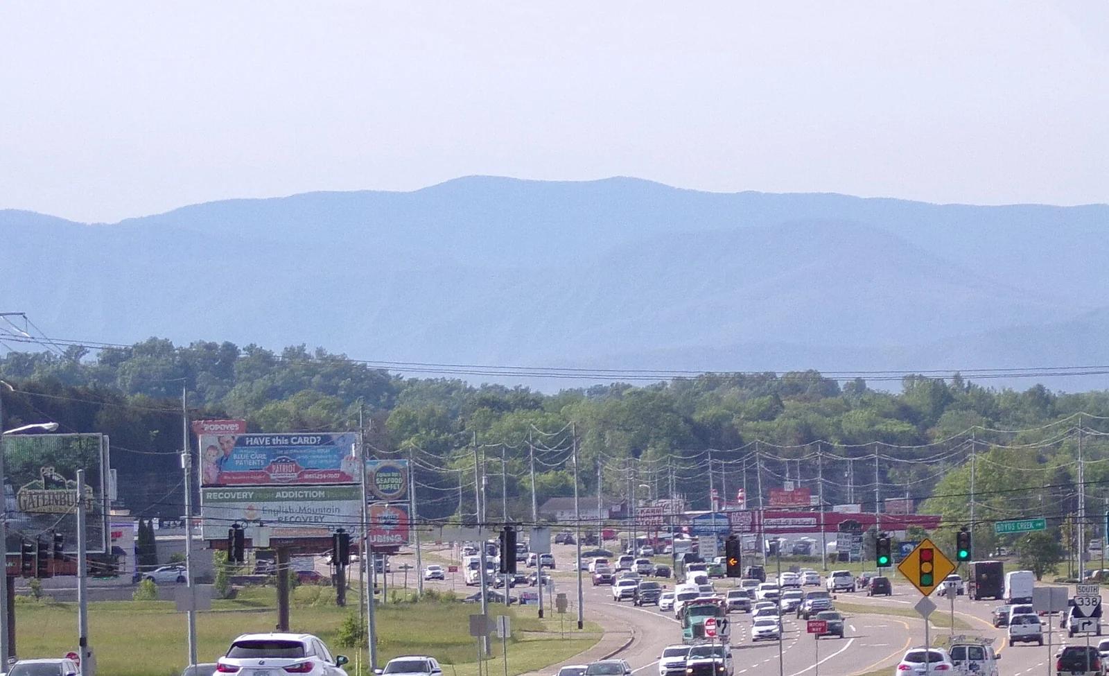
Great Smoky Mountains National Park · Blue Ridge & Great Smoky Mountains · Tennessee
The highest point in Tennessee (6,643 ft), crowned with a futuristic spiral concrete observation tower above misty spruce-fir forests.
Photo: Username11236 · CC BY-SA 4.0