Viewpoint
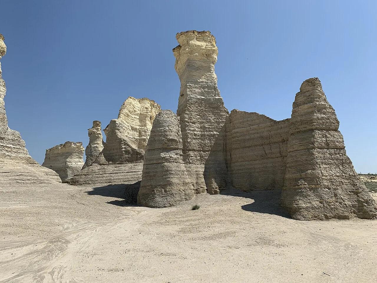
Smoky Hill Chalk National Natural Landmark · Great Plains & Heartland · Kansas
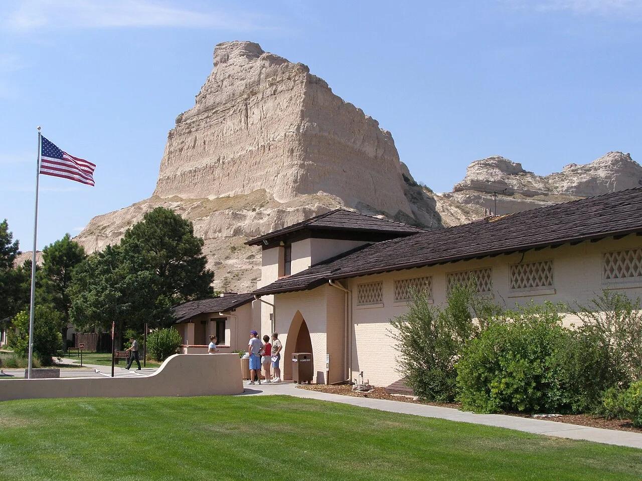
Monument Rocks (Chalk Pyramids)
80-foot Niobrara Chalk arches, buttes, and spires rising out of the shortgrass prairie of western Kansas.
- Route
- 1 mi
- Climb
- 66 ft
Browse & Discover
Filter by activity, state, region, dog policy, or route effort — or use the interactive map below to find waterfalls, trails, beaches, bikeways, skateparks, and campgrounds near any location.
1,108 of 2,051 places
Drag to pan. Double-click, pinch or scroll to zoom. Keyboard: arrow keys and +/−. Cards below remain available.
Loading map… Browse the spot cards below at any time.

Eaton Canyon Natural Area
The waterfall at the head of lower Eaton Canyon, reached by a wide wash walk from the Eaton Canyon Nature Center and a final creekside scramble.
[scott.medling or en:user:scott.medling user:scott.medling from California, United States] · CC BY-SA 2.0. Source & image licence

Angeles National Forest
The ruined mountain resort of the Mount Lowe Railway, on a front-range promontory above Altadena at the top of the Lower Sam Merrill Trail.
Lennonrodgers at en.wikipedia · Public domain. Source & image licence

Escondido Canyon Park
A multi-tiered waterfall in Escondido Canyon above Malibu. The maintained trail ends at the base of the mossy lower tier.
Santa Monica Mountains National Recreation Area · Public domain. Source & image licence

Inyo National Forest
A chain of small alpine lakes at the head of Little Lakes Valley in the John Muir Wilderness, below the 13,000-foot peaks of the Bear Creek Spire cirque.
Jane S. Richardson (talk · contribs) · CC BY-SA 3.0. Source & image licence

Angeles National Forest
A high saddle and five-way trail junction on the Cucamonga Wilderness ridge, at the top of the steady climb up Icehouse Canyon.
Jason Hollinger · CC BY 2.0. Source & image licence

Mount Tamalpais Watershed
A winter-and-spring cascade on Cataract Creek just below the Laurel Dell picnic area, reached downhill along the Cataract Trail from Rock Spring.
Richard Wood · CC BY-SA 3.0. Source & image licence

Angeles National Forest
A waterfall of about fifty feet filling the head of a narrow, shaded canyon, a short walk upstream from Millard Campground.
Region 5 Photography · Public domain. Source & image licence

Mission Peak Regional Preserve
The bare grassland summit above Fremont, marked by the Mission Peeker sighting pole and climbed by the Hidden Valley Trail from Stanford Avenue.
Oleg Alexandrov · CC BY-SA 3.0. Source & image licence

Angeles National Forest
The highest summit of the San Gabriel Mountains, reached from Baldy Notch along the exposed Devils Backbone ridge.
Darkest tree · CC BY-SA 4.0. Source & image licence

Inyo National Forest
A quiet lake in the Ansel Adams Wilderness beneath Parker Peak, reached through sage and an aspen-lined creek canyon off the June Lake Loop.
Mark Gunn from Novato, California, USA · CC BY 2.0. Source & image licence

Santa Monica Mountains National Recreation Area
The highest point in the Santa Monica Mountains, climbed from the Mishe Mokwa trailhead along the Backbone Trail at Circle X Ranch.
Wasquewhat · CC BY-SA 4.0. Source & image licence

Angeles National Forest
A 50-foot single drop into a shallow plunge pool, 1.7 mi up Big Santa Anita Canyon. Shaded the entire way in. The work is all on the walk out.
U.S. Department of Agriculture / USDA USFS · CC BY 2.0. Source & image licence

Santa Monica Mountains National Recreation Area
The ruins of the Roberts family ranch house at the end of the canyon-floor trail in Solstice Canyon, beside a small seasonal waterfall.
George Heras / Santa Monica Mountains National Recreation Area · Public domain. Source & image licence
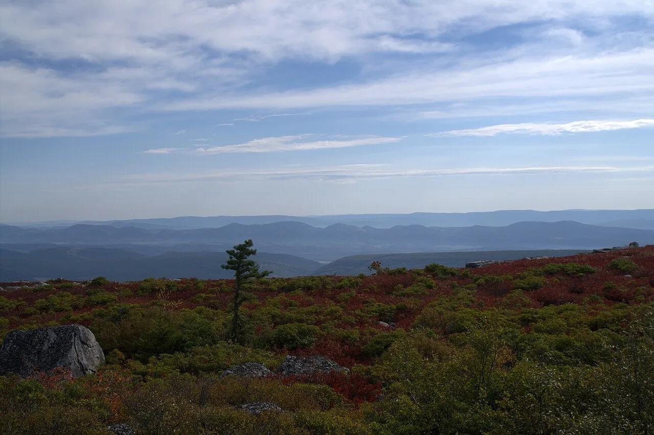
Dolly Sods Wilderness (Monongahela NF) · Appalachian & Blue Ridge · West Virginia
Sub-arctic Canadian tundra plateau at 4,000 feet featuring wind-flagged one-sided red spruces, blueberry barrens, and puddingstone boulders.
Photo: Aneta Kaluzna · CC BY-SA 2.5
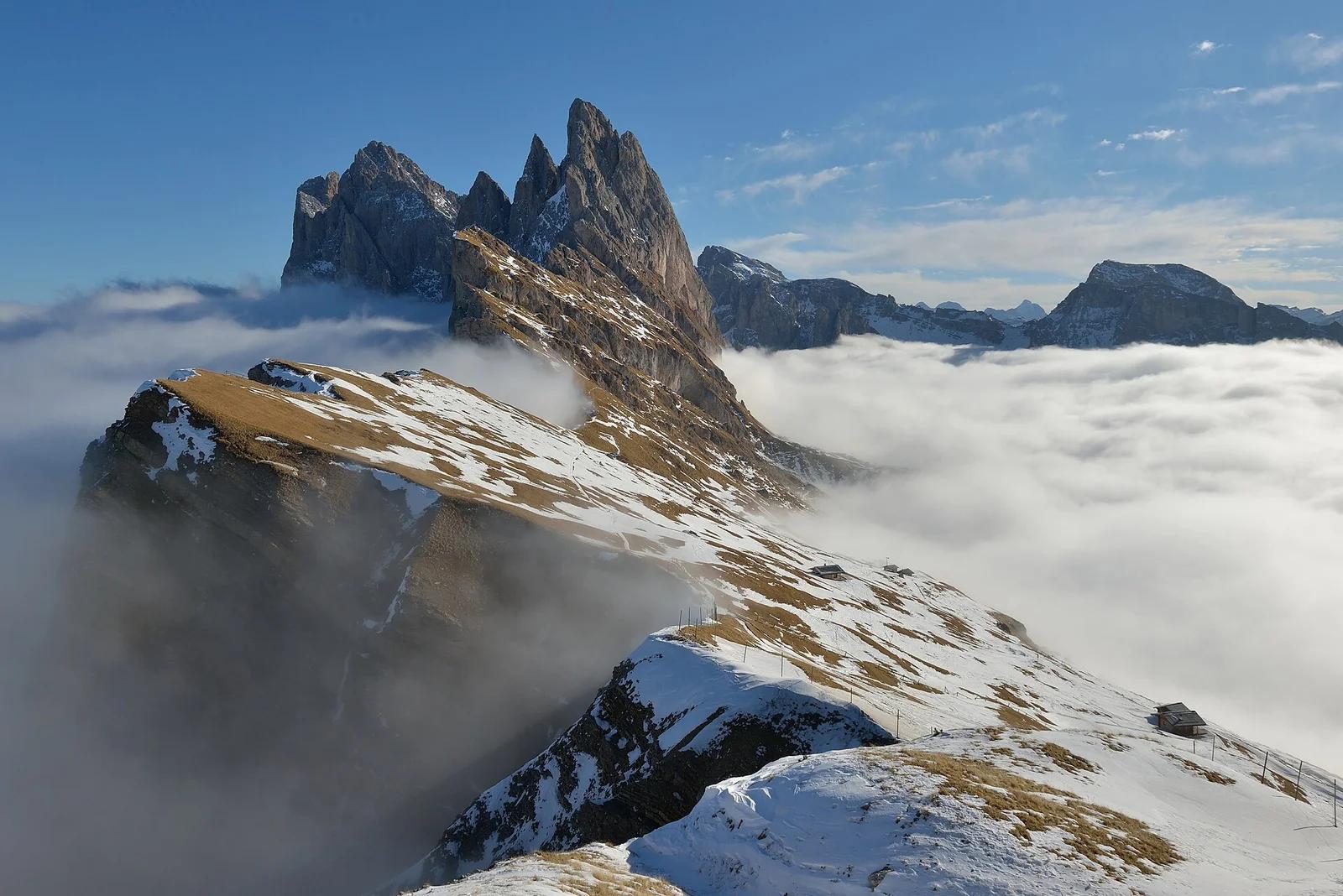
Puez-Geisler Nature Park · Dolomites & Italy · Italy
Staggering angled knife-edge escarpment dropping precipitously down to Val di Funes, with serrated Geisler / Odle peaks piercing the sky.
Photo: This Photo was taken by Wolfgang Moroder. Feel free to use my photos, but please mention me as the author and send me a message. This image is not in the public domain. Please respect the copyright protection. It may only be used according to the rules mentioned here. This specifically excludes use in social media, if applicable terms of the licenses listed here are not appropriate. Please do not upload an updated image here without consultation with the Author. The author would like to make corrections only at his own source. This ensures that the changes are preserved.Please if you think that any changes should be required, please inform the author.Otherwise you can upload a new image with a new name. Please use one of the templates derivative or extract. · CC BY-SA 3.0
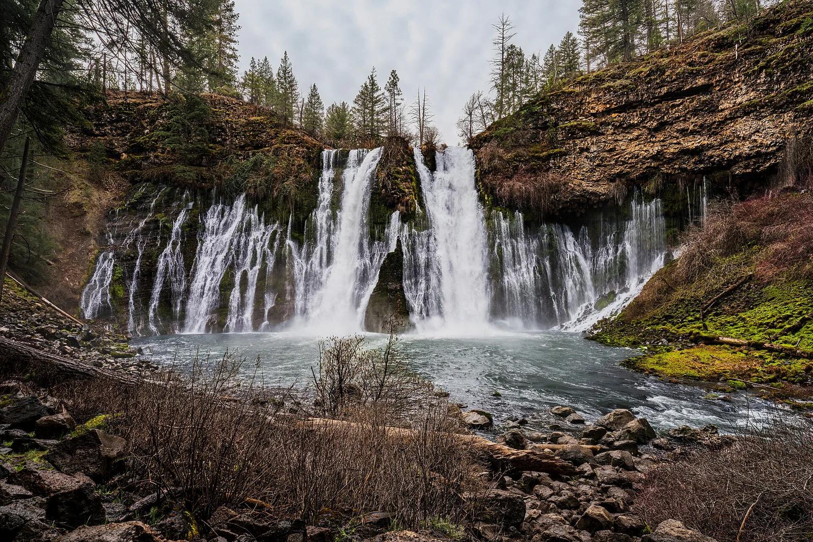
McArthur-Burney Falls Memorial State Park · Shasta Cascade
The 'Eighth Wonder of the World' (Teddy Roosevelt): a spectacular 129-foot spring-fed waterfall surrounded by pine campgrounds and picnic areas.
Photo: JonMallard10 · CC BY 4.0
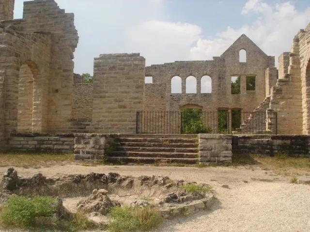
Ha Ha Tonka State Park · Midwest & Great Lakes · Missouri
Turquoise Ozark karst spring, sinkholes, natural bridge, and stone castle ruins perched 250 feet above the Lake of the Ozarks.
Photo: Paul Knittel from St. Louis, United States · CC BY 2.0
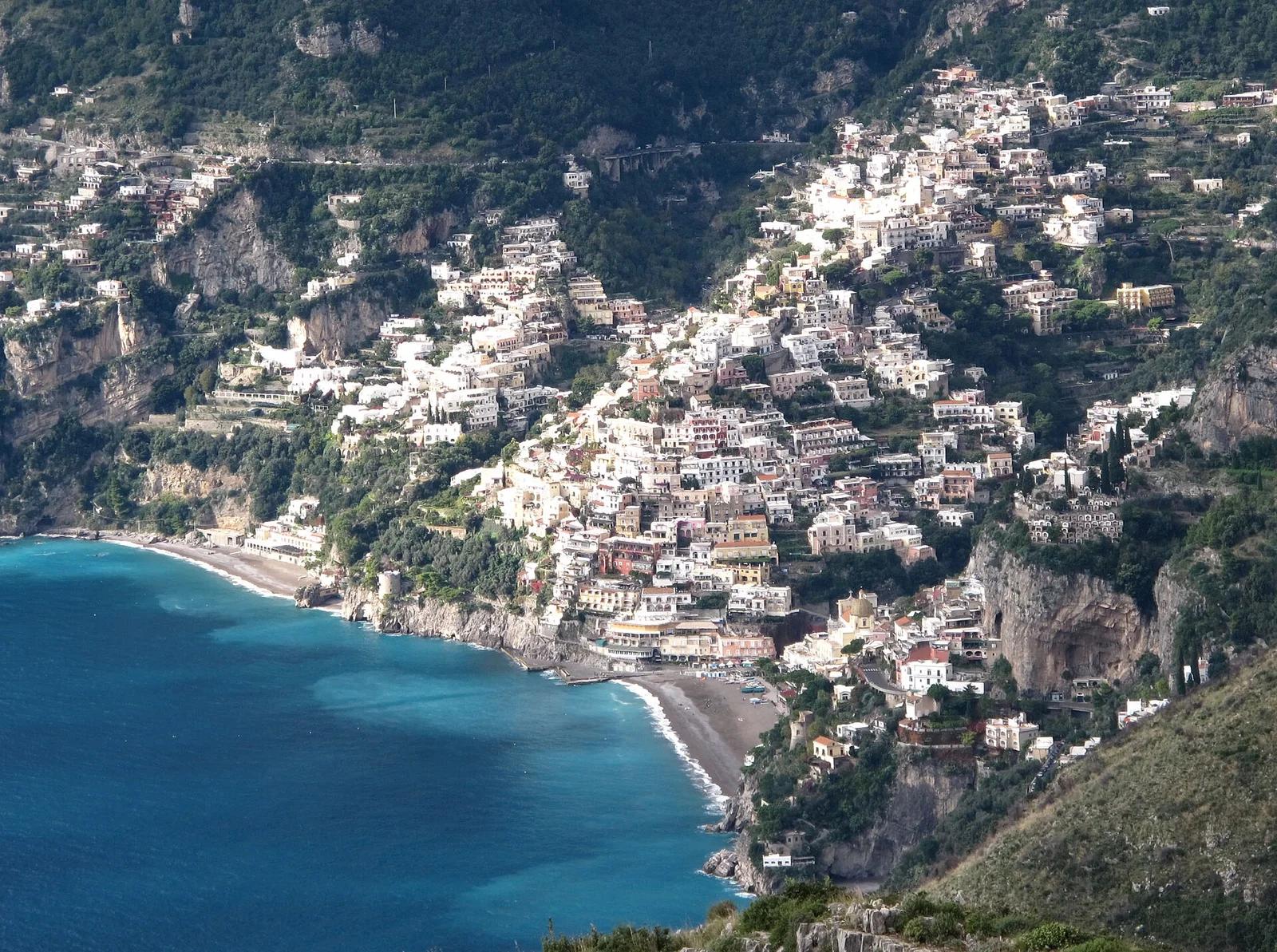
Amalfi Coast Protected Area · Mediterranean & Iberia · Italy
Breathtaking high cliff path carved into the Lattari Mountains, giving sweeping bird's-eye views over Positano, the Gulf of Salerno, and Capri.
Photo: Gilbert Bochenek · CC BY-SA 3.0
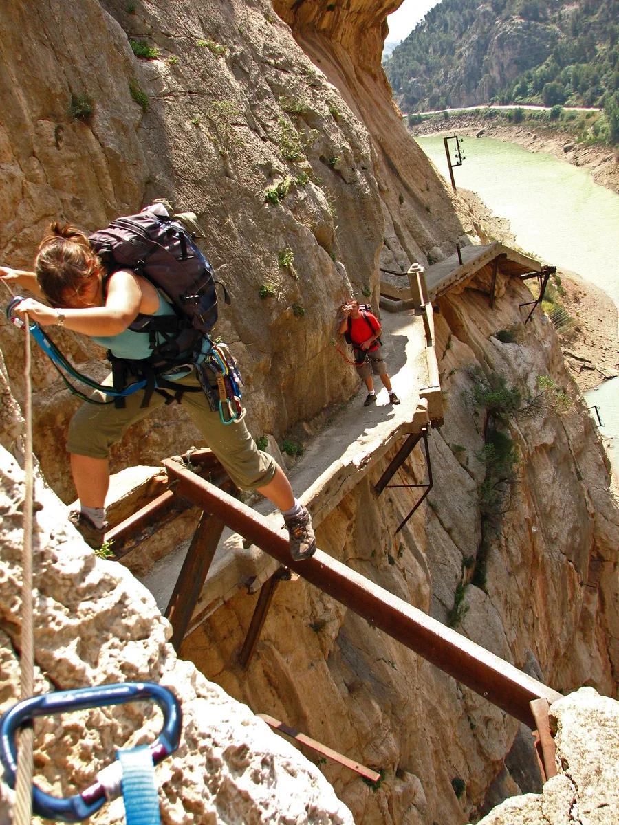
Desfiladero de los Gaitanes Natural Area · Mediterranean & Iberia · Spain
Aerial boardwalk pinned 100 metres above the churning Guadalhorce River through a razor-thin limestone gorge, concluding on a thrilling suspension bridge.
Photo: User Gabirulo on Flickr · CC BY-SA 2.0
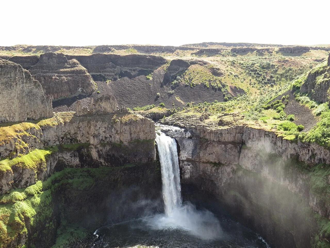
Palouse Falls State Park (LaCrosse) · Pacific Northwest · Washington
Washington's official state waterfall—a 198-foot cataract plunging into a circular Missoula Floods columnar basalt amphitheater.
Photo: Mcjenkins · CC BY-SA 4.0
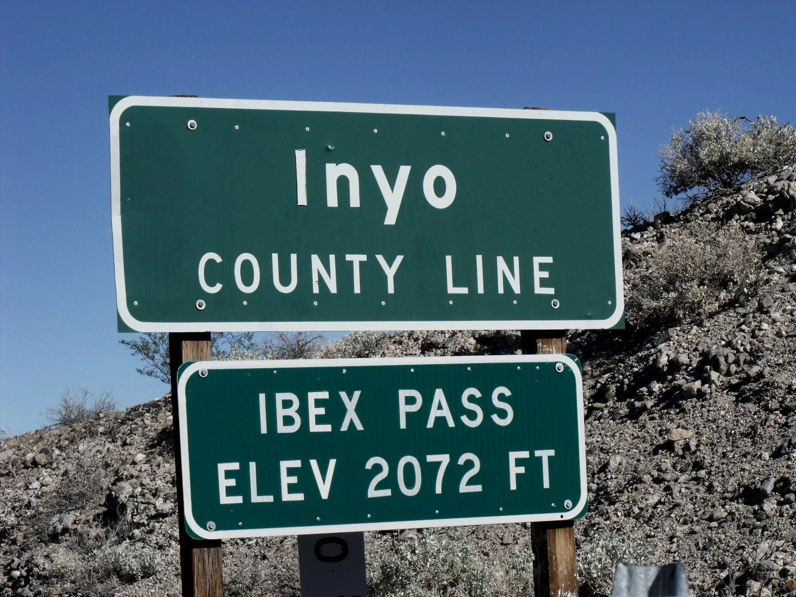
Eastern Sierra
Verified California saddle at 2,072 ft in Eastern Sierra.
Photo: Scottthezombie ( talk ) · CC BY-SA 3.0

Acadia National Park · New England & Adirondacks · Maine
Traces pink granite coastal headlands from Sand Beach past the booming sea-surge of Thunder Hole to Otter Cliff.
Photo: w:User:Michael180 (User:ThePlaz on Commons) · CC BY-SA 2.5