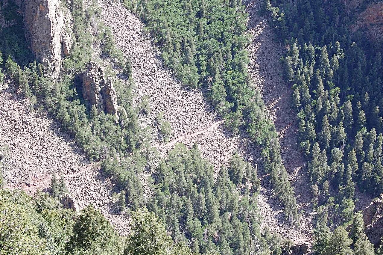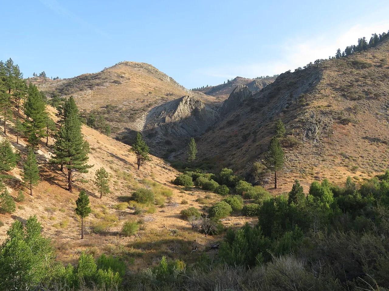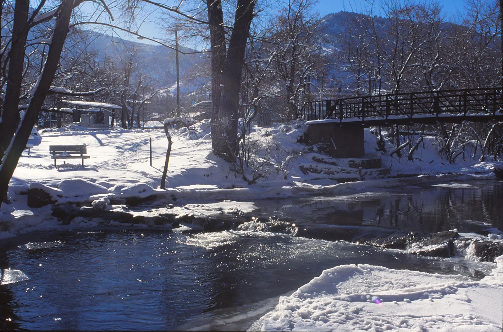
Hiking trail
Boulder Creek Path · Colorado & Rocky Mountains · Colorado
Boulder Creek Path Cycling
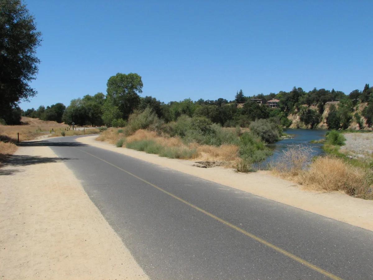
A multi-use paved cycling and walking greenway flowing from the foothills of Boulder Canyon through downtown to the plains.
- Route
- 7 mi
- Climb
- 279 ft
Browse & Discover
Filter by activity, state, region, dog policy, or route effort — or use the interactive map below to find waterfalls, trails, beaches, bikeways, skateparks, and campgrounds near any location.
1,108 of 2,051 places
Drag to pan. Double-click, pinch or scroll to zoom. Keyboard: arrow keys and +/−. Cards below remain available.
Loading map… Browse the spot cards below at any time.

Eaton Canyon Natural Area
The waterfall at the head of lower Eaton Canyon, reached by a wide wash walk from the Eaton Canyon Nature Center and a final creekside scramble.
[scott.medling or en:user:scott.medling user:scott.medling from California, United States] · CC BY-SA 2.0. Source & image licence

Angeles National Forest
The ruined mountain resort of the Mount Lowe Railway, on a front-range promontory above Altadena at the top of the Lower Sam Merrill Trail.
Lennonrodgers at en.wikipedia · Public domain. Source & image licence

Escondido Canyon Park
A multi-tiered waterfall in Escondido Canyon above Malibu. The maintained trail ends at the base of the mossy lower tier.
Santa Monica Mountains National Recreation Area · Public domain. Source & image licence

Inyo National Forest
A chain of small alpine lakes at the head of Little Lakes Valley in the John Muir Wilderness, below the 13,000-foot peaks of the Bear Creek Spire cirque.
Jane S. Richardson (talk · contribs) · CC BY-SA 3.0. Source & image licence

Angeles National Forest
A high saddle and five-way trail junction on the Cucamonga Wilderness ridge, at the top of the steady climb up Icehouse Canyon.
Jason Hollinger · CC BY 2.0. Source & image licence

Mount Tamalpais Watershed
A winter-and-spring cascade on Cataract Creek just below the Laurel Dell picnic area, reached downhill along the Cataract Trail from Rock Spring.
Richard Wood · CC BY-SA 3.0. Source & image licence

Angeles National Forest
A waterfall of about fifty feet filling the head of a narrow, shaded canyon, a short walk upstream from Millard Campground.
Region 5 Photography · Public domain. Source & image licence

Mission Peak Regional Preserve
The bare grassland summit above Fremont, marked by the Mission Peeker sighting pole and climbed by the Hidden Valley Trail from Stanford Avenue.
Oleg Alexandrov · CC BY-SA 3.0. Source & image licence

Angeles National Forest
The highest summit of the San Gabriel Mountains, reached from Baldy Notch along the exposed Devils Backbone ridge.
Darkest tree · CC BY-SA 4.0. Source & image licence

Inyo National Forest
A quiet lake in the Ansel Adams Wilderness beneath Parker Peak, reached through sage and an aspen-lined creek canyon off the June Lake Loop.
Mark Gunn from Novato, California, USA · CC BY 2.0. Source & image licence

Santa Monica Mountains National Recreation Area
The highest point in the Santa Monica Mountains, climbed from the Mishe Mokwa trailhead along the Backbone Trail at Circle X Ranch.
Wasquewhat · CC BY-SA 4.0. Source & image licence

Angeles National Forest
A 50-foot single drop into a shallow plunge pool, 1.7 mi up Big Santa Anita Canyon. Shaded the entire way in. The work is all on the walk out.
U.S. Department of Agriculture / USDA USFS · CC BY 2.0. Source & image licence

Santa Monica Mountains National Recreation Area
The ruins of the Roberts family ranch house at the end of the canyon-floor trail in Solstice Canyon, beside a small seasonal waterfall.
George Heras / Santa Monica Mountains National Recreation Area · Public domain. Source & image licence
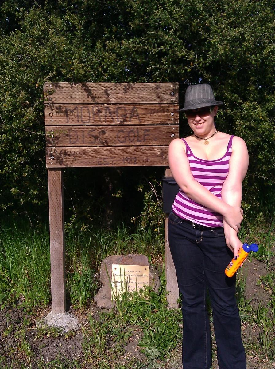
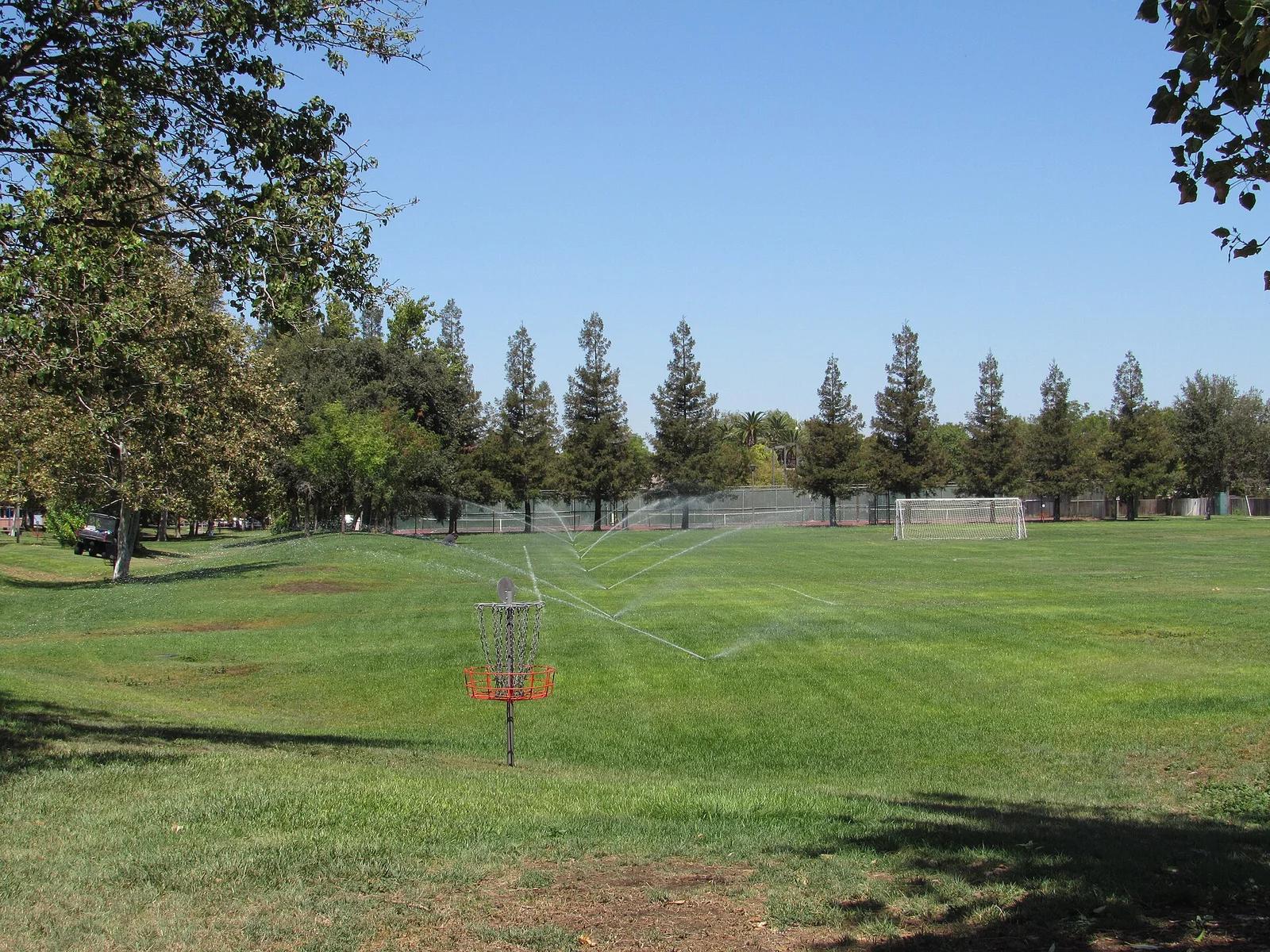
Moraga Commons Park · San Francisco Bay Area
Scenic rolling East Bay hills course with challenging elevation changes, heritage eucalyptus, and oak-lined grassy fairways.
Photo: Doug Orleans from Somerville, MA, USA · CC BY-SA 2.0
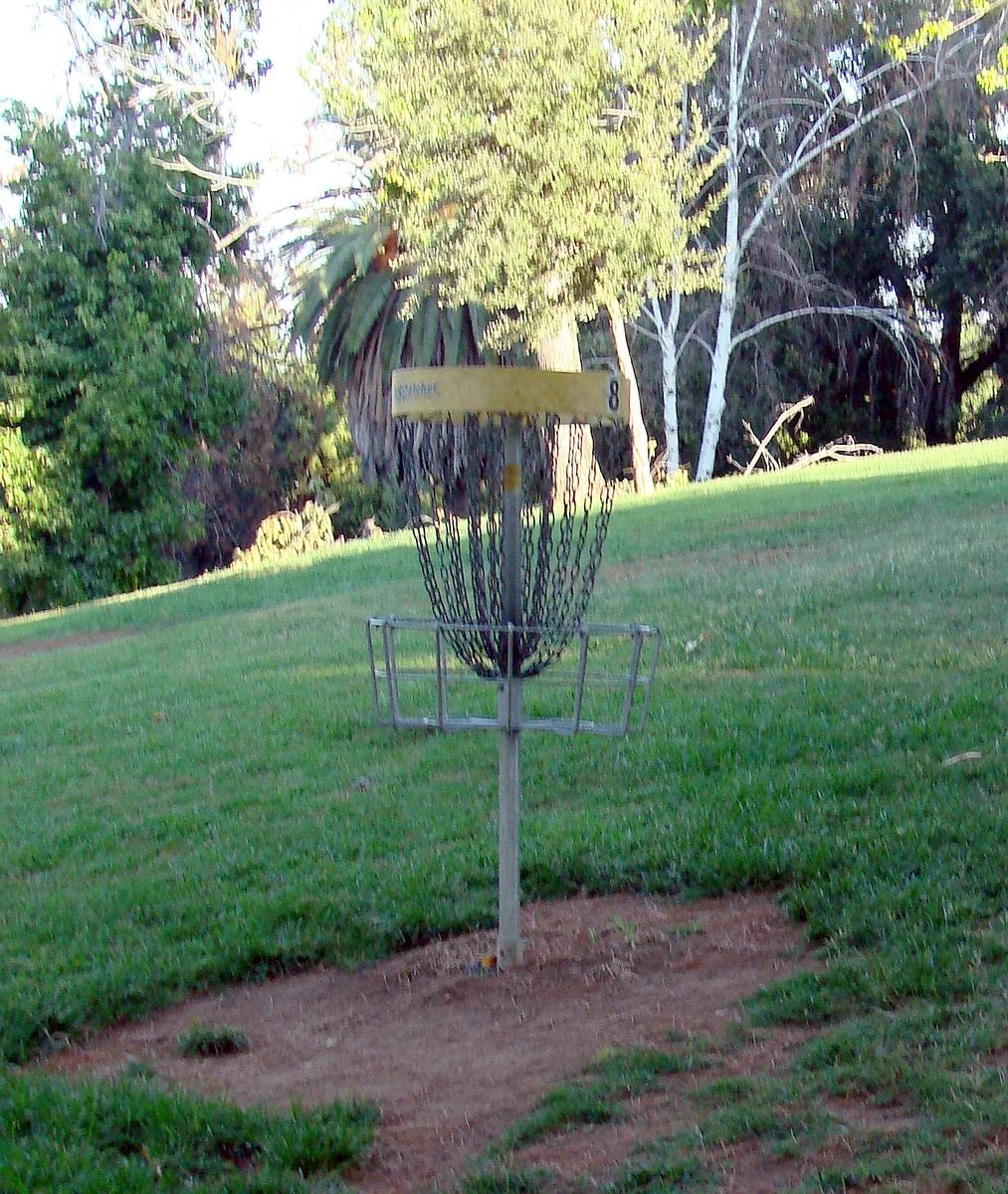
Ford Park · Inland Empire
Inland Empire city course featuring mature shaded shade trees, gentle grass slopes, and water hazards flanking two serene duck ponds.
Photo: inkknife_2000 (7.5 million views +) · CC BY-SA 2.0
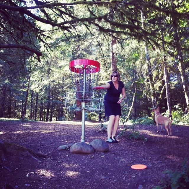
Milo McIver State Park · Pacific Northwest · Oregon
The revered venue for the Beaver State Fling, boasting 36 championship holes rolling along the banks of the Clackamas River.
Photo: David Burn from Austin, TX, USA · CC BY-SA 2.0
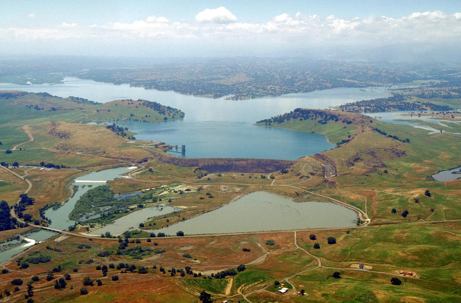
Black Butte Lake Recreation Area · Sacramento Valley
Challenging wilderness course situated along the volcanic basalt shores and blue oak woodlands of Black Butte Lake.
Photo: Michael Nevins, U.S. Army Corps of Engineers · Public domain
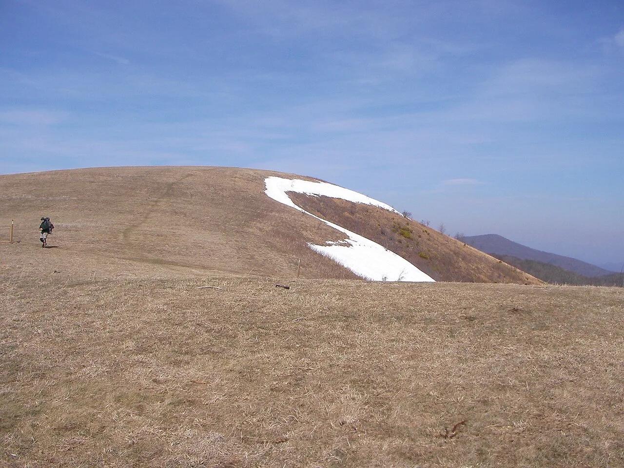
Pisgah National Forest · Appalachian & Blue Ridge · North Carolina
350-acre open mountaintop meadow along the Appalachian Trail offering unobstructed views from Mount Mitchell to the Great Smoky Mountains.
Photo: User:Washedwithblood7 · Public domain
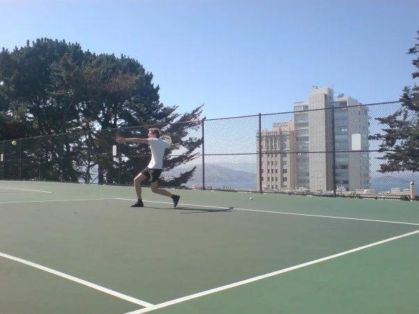
George Sterling Park · San Francisco Bay Area
Stunning rooftop-style public courts on Russian Hill named for the tennis champion, offering unmatched views of Alcatraz and San Francisco Bay.
Photo: Stefan.soderlindh · CC BY-SA 3.0
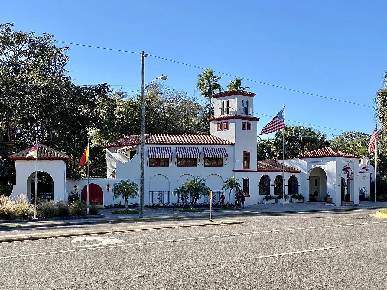
Anastasia State Park (St. Augustine) · Atlantic & Gulf Coasts · Florida
Four miles of pristine Atlantic surf beach, tidal Salt Run kayaking lagoon, and 1670s coquina shellrock quarries shaded by maritime hammocks.
Photo: w_lemay · CC BY-SA 2.0
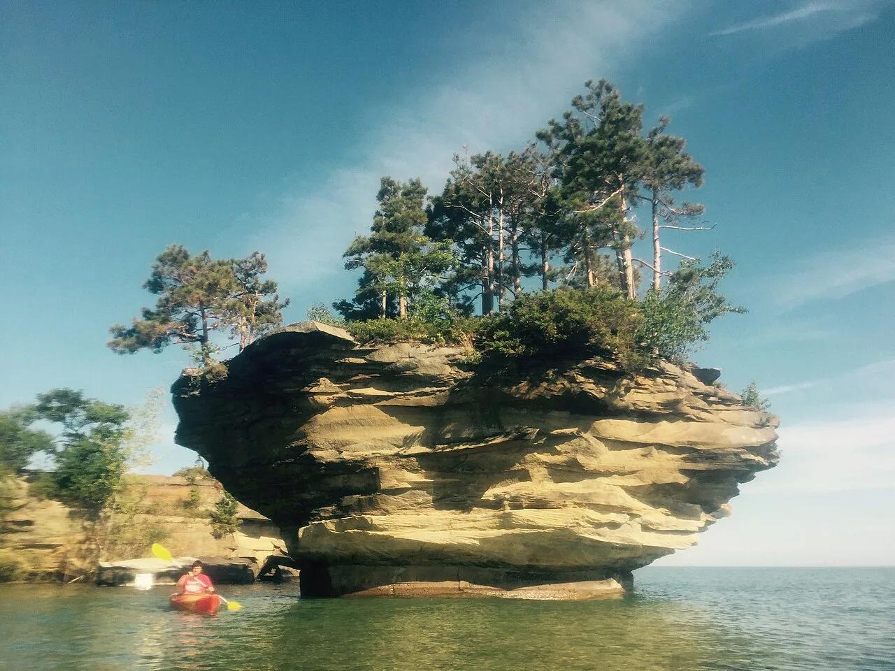
Pointe Aux Barques / Port Austin Waters · The Thumb · Michigan
Spectacular mushroom-shaped sea stack carved by Lake Huron wave action, crowned with 20-foot trees and reachable only by kayak along limestone sea caves.
Photo: thumbwind · CC BY 2.0
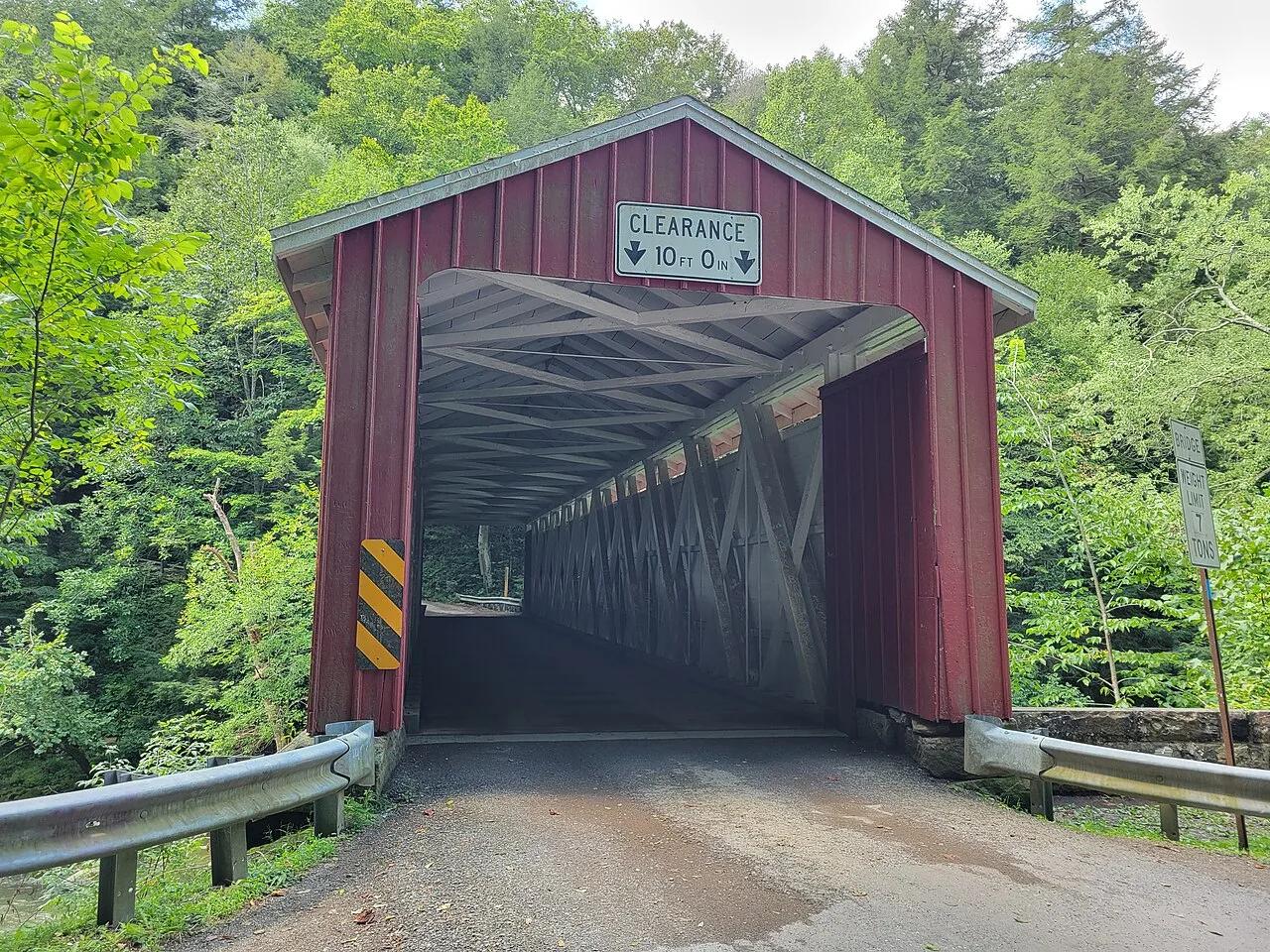
McConnells Mill State Park · Western Pennsylvania · Pennsylvania
A National Natural Landmark gorge featuring 100-foot sandstone cliffs, Class IV-V rapids, Alpha Falls, and an operating 1852 gristmill.
Photo: Simplysites · CC BY 4.0
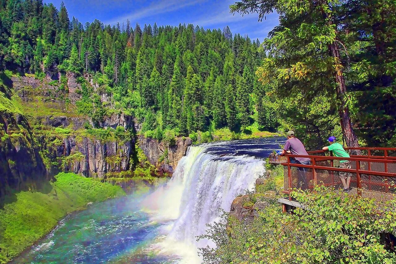
Caribou-Targhee National Forest · Eastern Idaho · Idaho
Last remaining major waterfalls on the Columbia River system undisturbed by damming, crashing over 100 feet of ancient volcanic rock.
Photo: Brenton Cooper from North Ogden, USA · CC BY 2.0
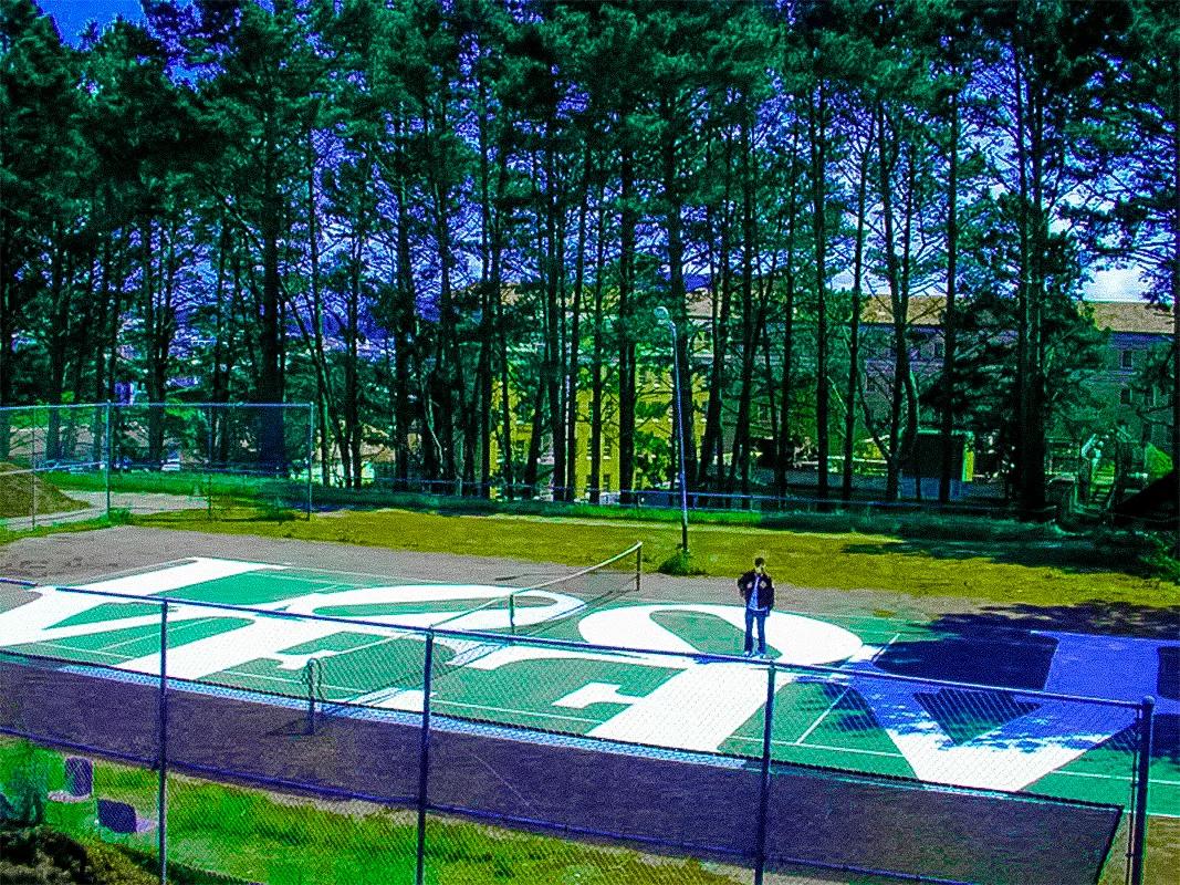
Presidio of San Francisco · San Francisco Bay Area
Scenic historic park courts in the Presidio sheltered by towering eucalyptus and cypress trees, featuring tennis and pickleball play.
Photo: Erik Seidenglanz · CC0 1.0
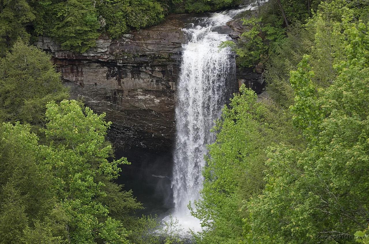
South Cumberland State Park · Appalachian & Blue Ridge · Tennessee
60-foot waterfall plunging into a deep turquoise hemlock-shaded swimming hole crossed by a suspension footbridge along the Fiery Gizzard Trail.
Photo: Casey Fleser (Flickr user somegeekintn) · CC BY 2.0
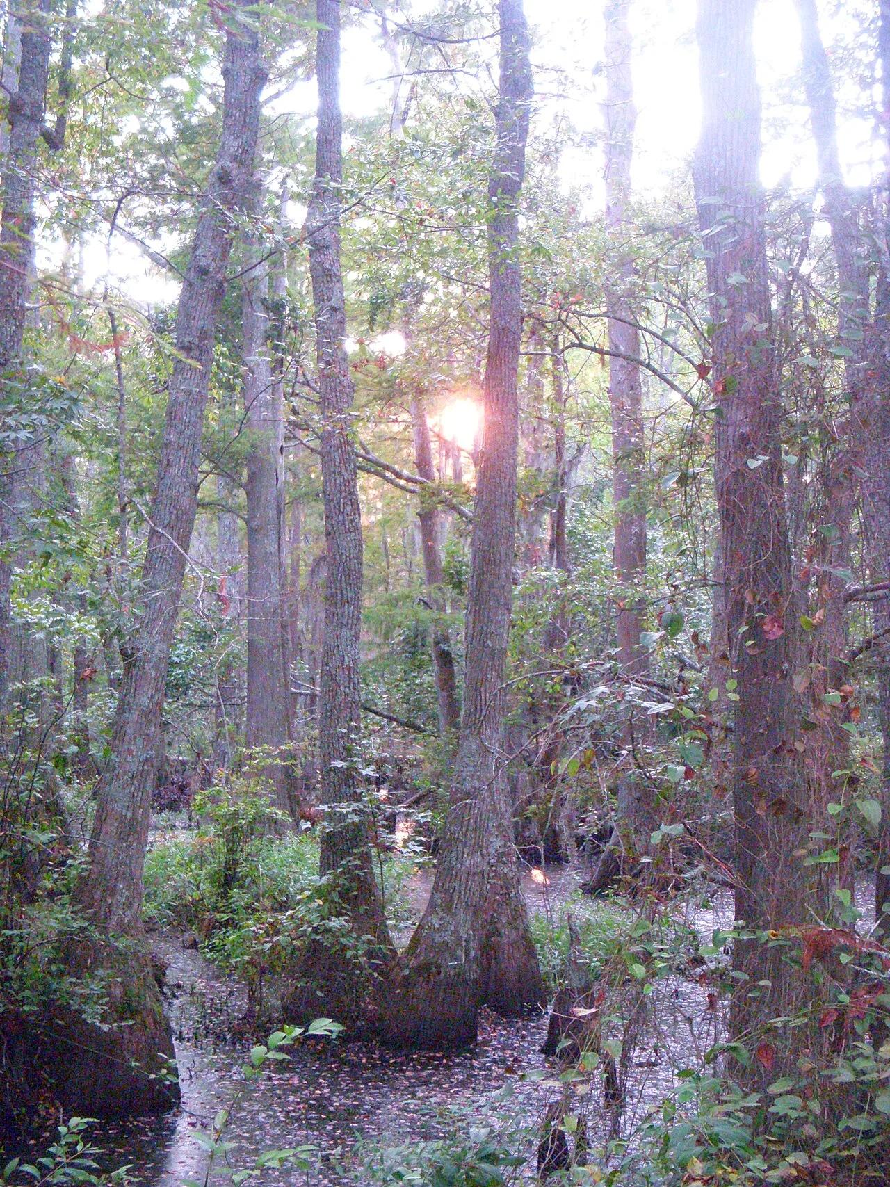
First Landing State Park (Virginia Beach) · Atlantic & Gulf Coasts · Virginia
Spanish-moss-draped bald cypress lagoons, Chesapeake Bay sand beaches, and the 6-mile Cape Henry bike trail at the mouth of the bay.
Photo: Virginia State Parks staff · CC BY 2.0
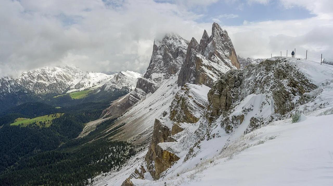
Puez-Odle Nature Park (Dolomites UNESCO) · European Alps · Italy
Iconic tilted green alpine meadow sweeping up to the jagged 2,500-meter dolomite sawtooth blades of the Odle/Geisler group.
Photo: This Photo was taken by Wolfgang Moroder. Feel free to use my photos, but ple... · CC BY-SA 3.0
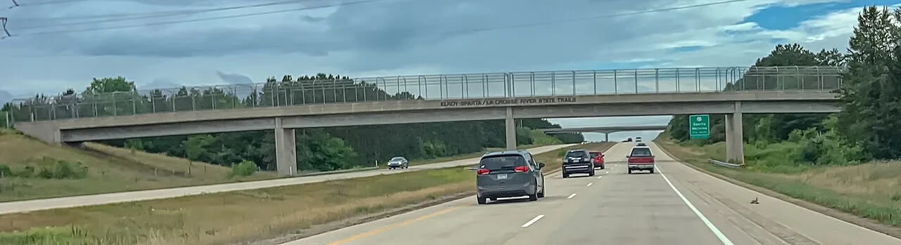
Elroy-Sparta State Trail · Driftless Area · Wisconsin
America's first rails-to-trails conversion, stretching 32 miles through Wisconsin farmland and three historic hand-carved stone tunnels up to 3,810 feet long.
Photo: Wikideas1 · Public domain
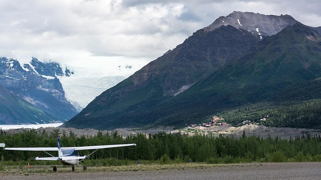
Wrangell-St. Elias National Park and Preserve · Wrangell-St. Elias · Alaska
Incredible wilderness trek from the 14-story historic copper mill directly onto the white ice, blue pools, and moulins of Root Glacier.
Photo: Christoph Strässler from Oberdorf BL, Schweiz · CC BY-SA 2.0
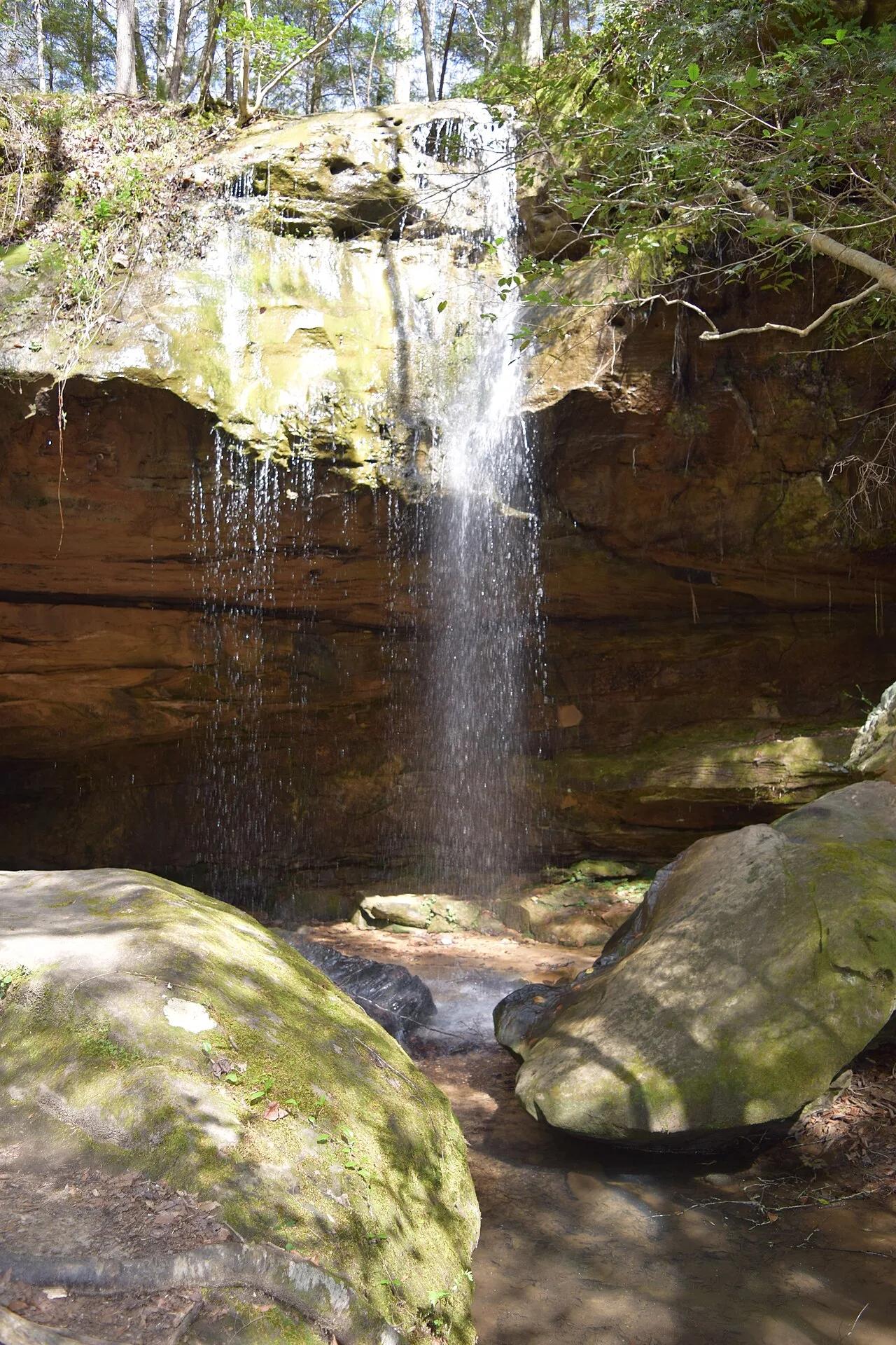
Bankhead National Forest (Land of 1,000 Waterfalls) · Appalachian & Blue Ridge · Alabama
Spring-fed curved sandstone amphitheater waterfall hidden inside the mossy hemlock box canyons of the Sipsey Wilderness.
Photo: Fredlyfish4 · CC BY-SA 4.0
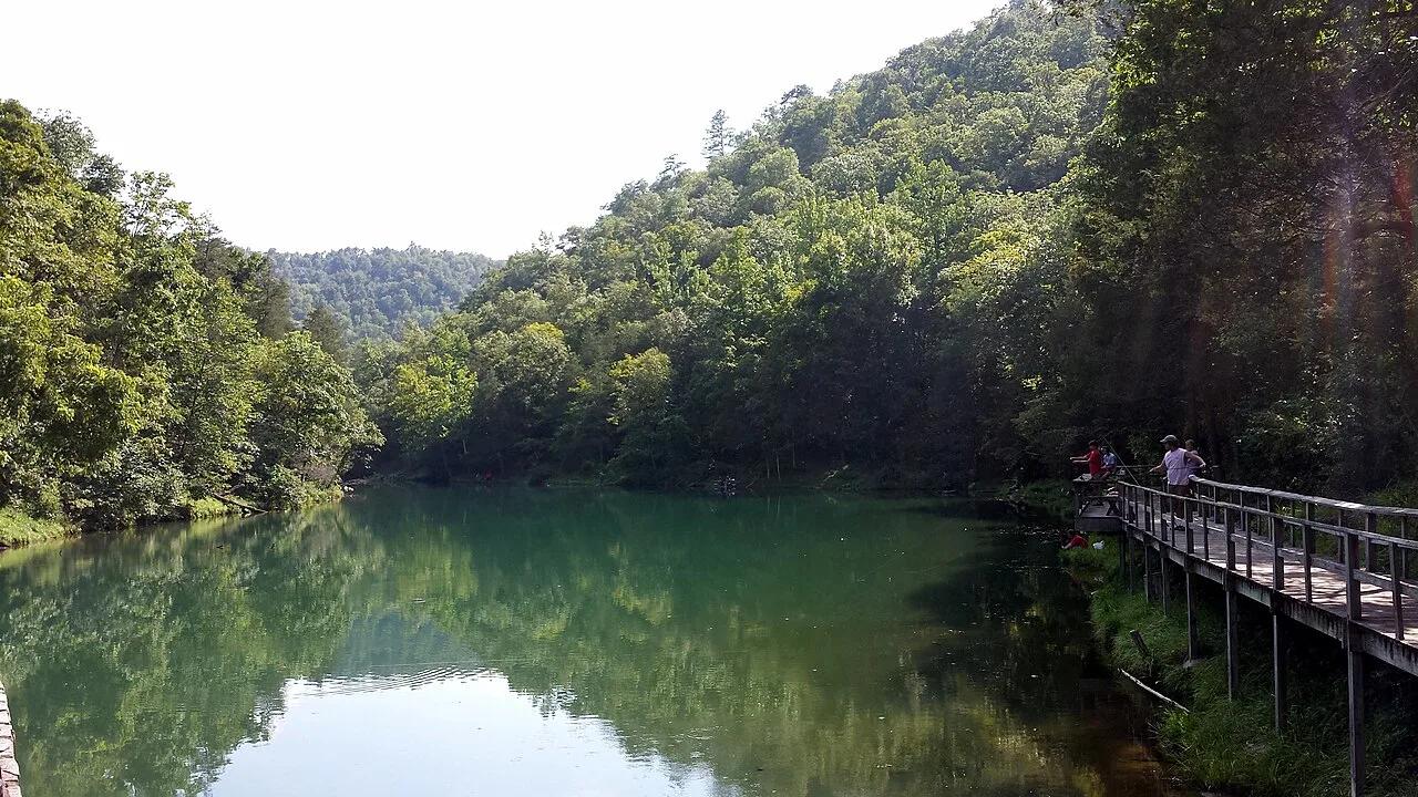
Ozark-St. Francis National Forest (Fifty-Six) · South & Gulf Coast · Arkansas
Turquoise spring emerging from a living limestone cavern and cascading over a historic 1930s CCC stone mill dam into trout-filled Mirror Lake.
Photo: Brandonrush · CC BY-SA 4.0