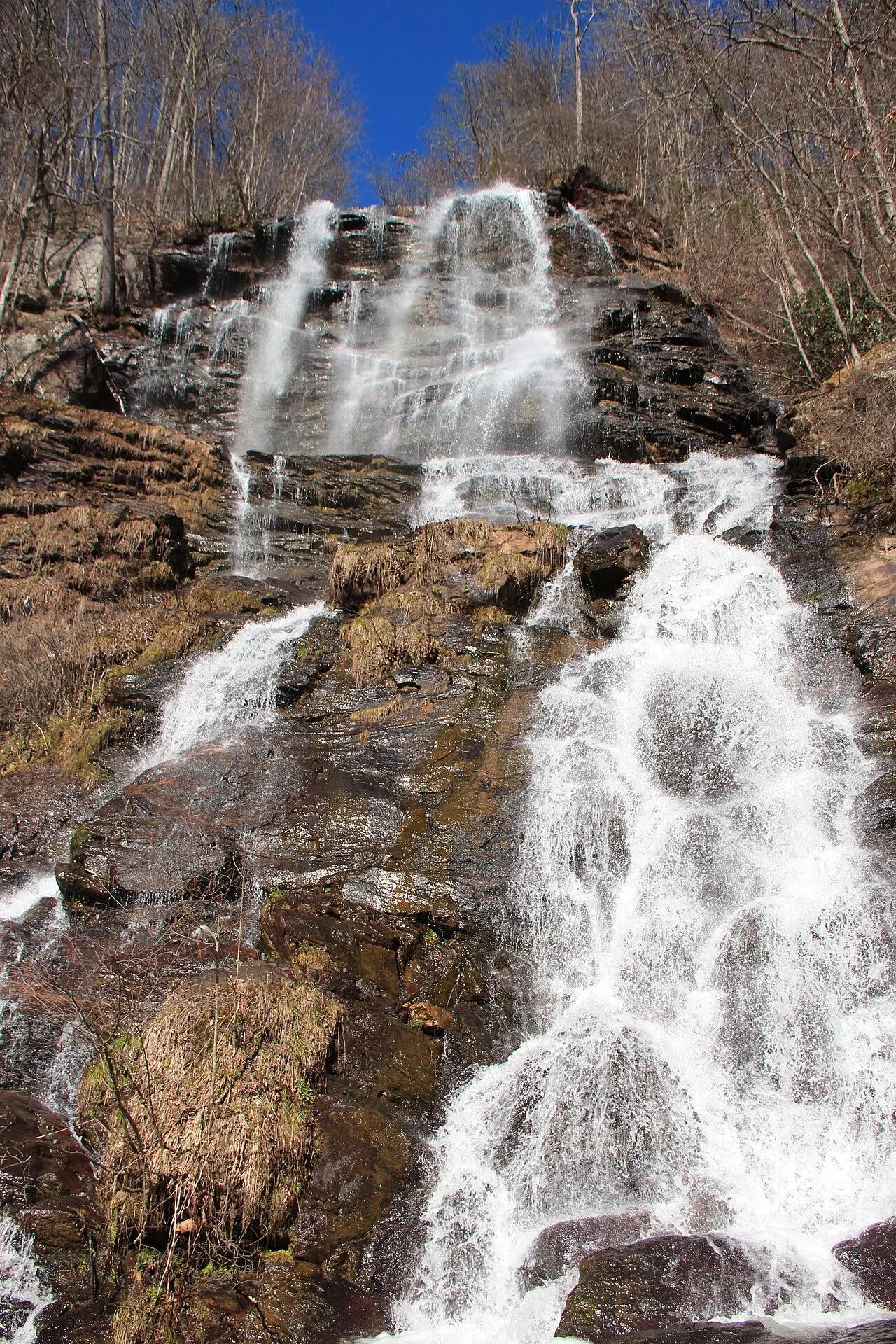
Amicalola Falls State Park · Appalachian & Blue Ridge · Georgia
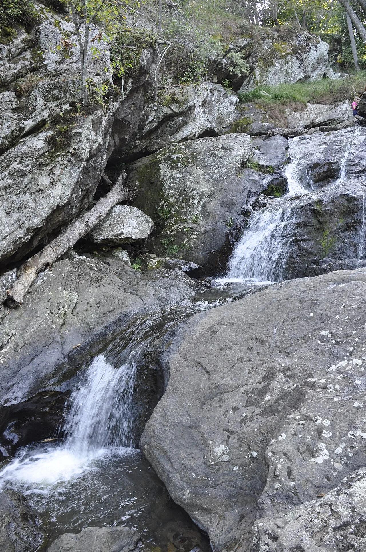
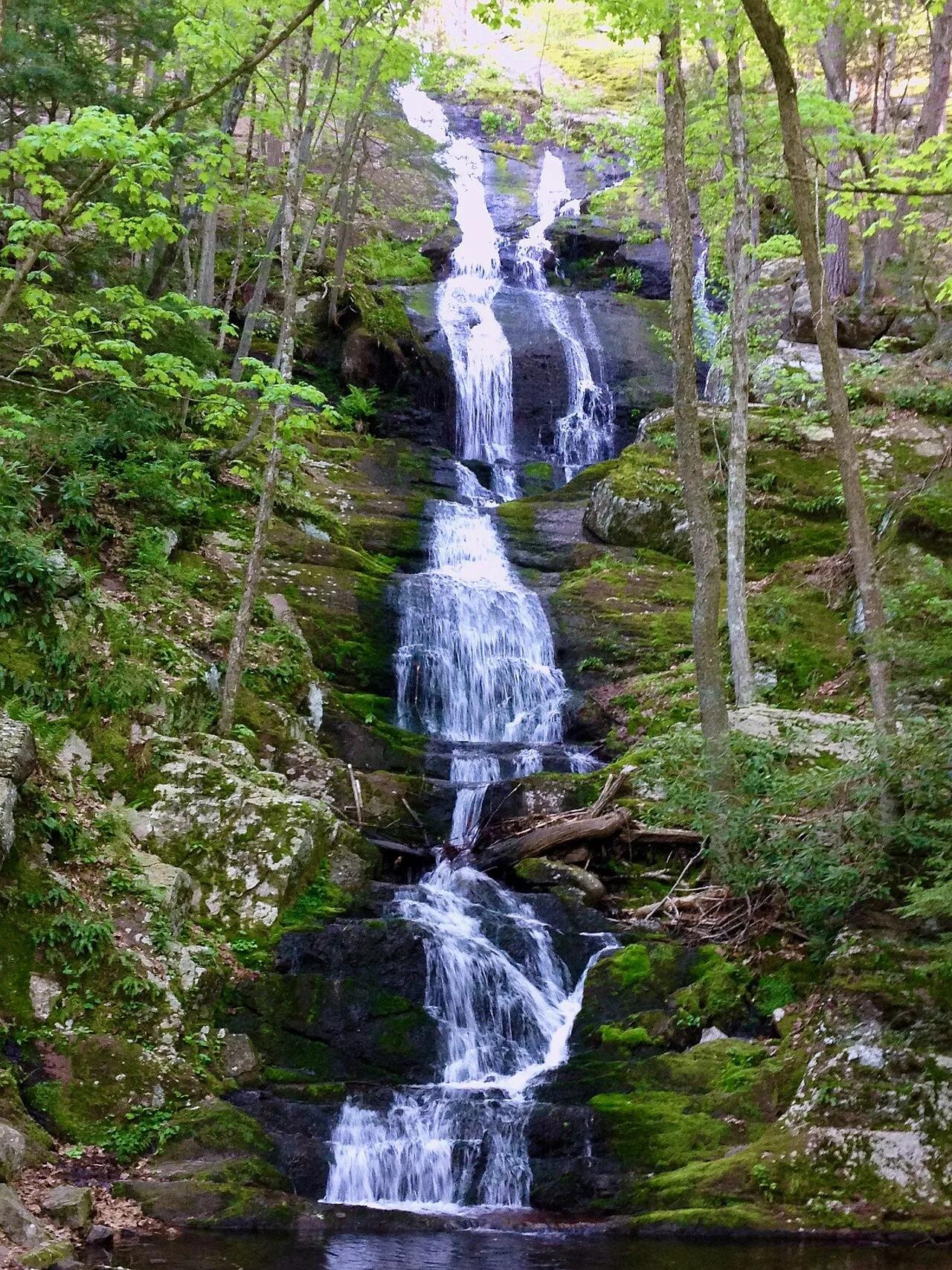
Amicalola Falls (Appalachian Approach Trail)
729-foot cascading waterfall—the tallest in Georgia—marking the gateway to the Appalachian Trail approach.
- Route
- 2.1 mi
- Climb
- 738 ft
Browse & Discover
Filter by activity, state, region, dog policy, or route effort — or use the interactive map below to find waterfalls, trails, beaches, bikeways, skateparks, and campgrounds near any location.
968 of 2,051 places
Drag to pan. Double-click, pinch or scroll to zoom. Keyboard: arrow keys and +/−. Cards below remain available.
Loading map… Browse the spot cards below at any time.

Eaton Canyon Natural Area
The waterfall at the head of lower Eaton Canyon, reached by a wide wash walk from the Eaton Canyon Nature Center and a final creekside scramble.
[scott.medling or en:user:scott.medling user:scott.medling from California, United States] · CC BY-SA 2.0. Source & image licence

Angeles National Forest
The ruined mountain resort of the Mount Lowe Railway, on a front-range promontory above Altadena at the top of the Lower Sam Merrill Trail.
Lennonrodgers at en.wikipedia · Public domain. Source & image licence

Escondido Canyon Park
A multi-tiered waterfall in Escondido Canyon above Malibu. The maintained trail ends at the base of the mossy lower tier.
Santa Monica Mountains National Recreation Area · Public domain. Source & image licence

Inyo National Forest
A chain of small alpine lakes at the head of Little Lakes Valley in the John Muir Wilderness, below the 13,000-foot peaks of the Bear Creek Spire cirque.
Jane S. Richardson (talk · contribs) · CC BY-SA 3.0. Source & image licence

Angeles National Forest
A high saddle and five-way trail junction on the Cucamonga Wilderness ridge, at the top of the steady climb up Icehouse Canyon.
Jason Hollinger · CC BY 2.0. Source & image licence

Mount Tamalpais Watershed
A winter-and-spring cascade on Cataract Creek just below the Laurel Dell picnic area, reached downhill along the Cataract Trail from Rock Spring.
Richard Wood · CC BY-SA 3.0. Source & image licence

Angeles National Forest
A waterfall of about fifty feet filling the head of a narrow, shaded canyon, a short walk upstream from Millard Campground.
Region 5 Photography · Public domain. Source & image licence

Mission Peak Regional Preserve
The bare grassland summit above Fremont, marked by the Mission Peeker sighting pole and climbed by the Hidden Valley Trail from Stanford Avenue.
Oleg Alexandrov · CC BY-SA 3.0. Source & image licence

Angeles National Forest
The highest summit of the San Gabriel Mountains, reached from Baldy Notch along the exposed Devils Backbone ridge.
Darkest tree · CC BY-SA 4.0. Source & image licence

Inyo National Forest
A quiet lake in the Ansel Adams Wilderness beneath Parker Peak, reached through sage and an aspen-lined creek canyon off the June Lake Loop.
Mark Gunn from Novato, California, USA · CC BY 2.0. Source & image licence

Santa Monica Mountains National Recreation Area
The highest point in the Santa Monica Mountains, climbed from the Mishe Mokwa trailhead along the Backbone Trail at Circle X Ranch.
Wasquewhat · CC BY-SA 4.0. Source & image licence

Angeles National Forest
A 50-foot single drop into a shallow plunge pool, 1.7 mi up Big Santa Anita Canyon. Shaded the entire way in. The work is all on the walk out.
U.S. Department of Agriculture / USDA USFS · CC BY 2.0. Source & image licence

Santa Monica Mountains National Recreation Area
The ruins of the Roberts family ranch house at the end of the canyon-floor trail in Solstice Canyon, beside a small seasonal waterfall.
George Heras / Santa Monica Mountains National Recreation Area · Public domain. Source & image licence

Rock City Park National Natural Landmark (Minneapolis, KS) · Great Plains & Heartland · Kansas
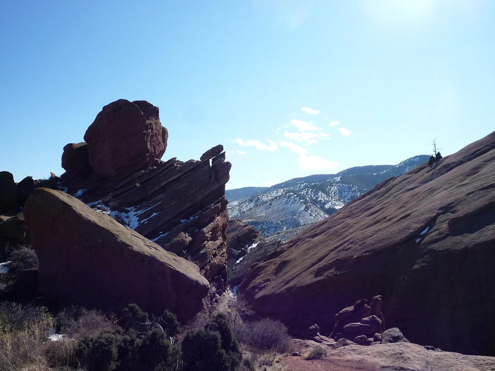
200 spherical Dakota Sandstone concretions up to 27 feet in diameter scattered across native Smoky Hills prairie.
Photo: Department of the Interior. Bureau of Indian Affairs. Standing Rock Agency. 9... · Public domain

Chimney Rock National Historic Site · Great Plains & Heartland · Nebraska
325-foot Brule clay and volcanic ash spire rising above the North Platte Valley—the most famous landmark on the Oregon, California, and Mormon Trails.
Photo: King of Hearts · CC BY-SA 4.0

Shasta-Trinity National Forest · Shasta & Trinity
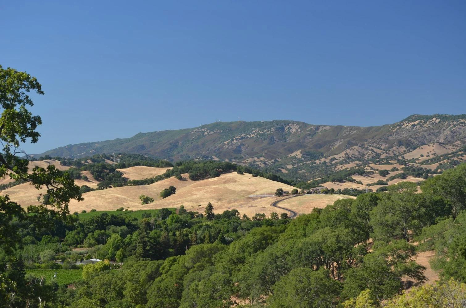
Verified California peak at 8,944 ft in Shasta-Trinity National Forest (Shasta & Trinity).
Photo: Jeffrey Pang from Jersey City, NJ, USA · CC BY 2.0

Wichita Mountains Wildlife Refuge (Cache) · Wichita Mountains · Oklahoma
Granite canyon where West Cache Creek carves through rugged pink cliffs to form a series of tumbling waterfalls and a legendary deep swimming gorge.
Photo: Unknown authorUnknown author or not provided · Public domain

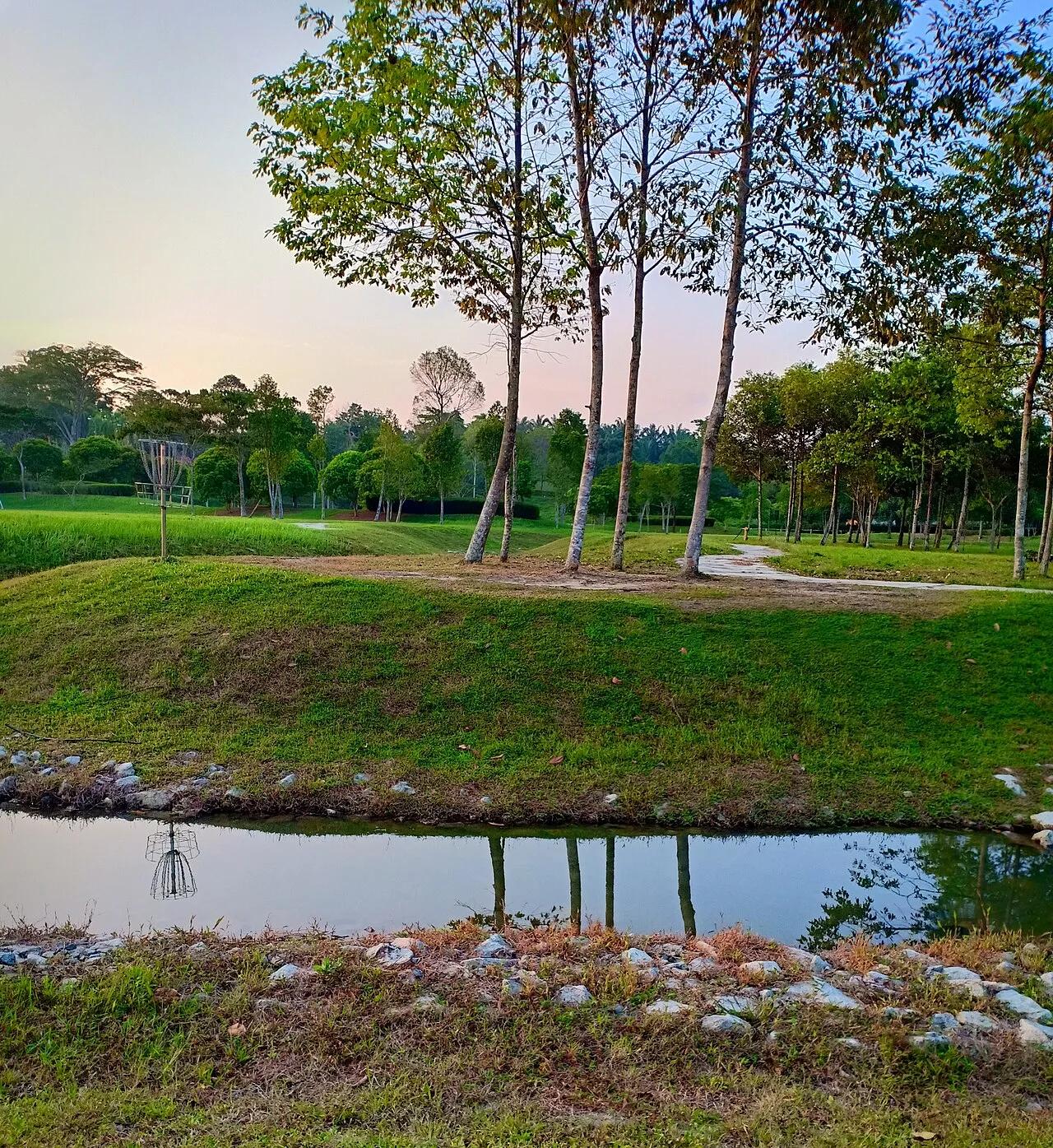
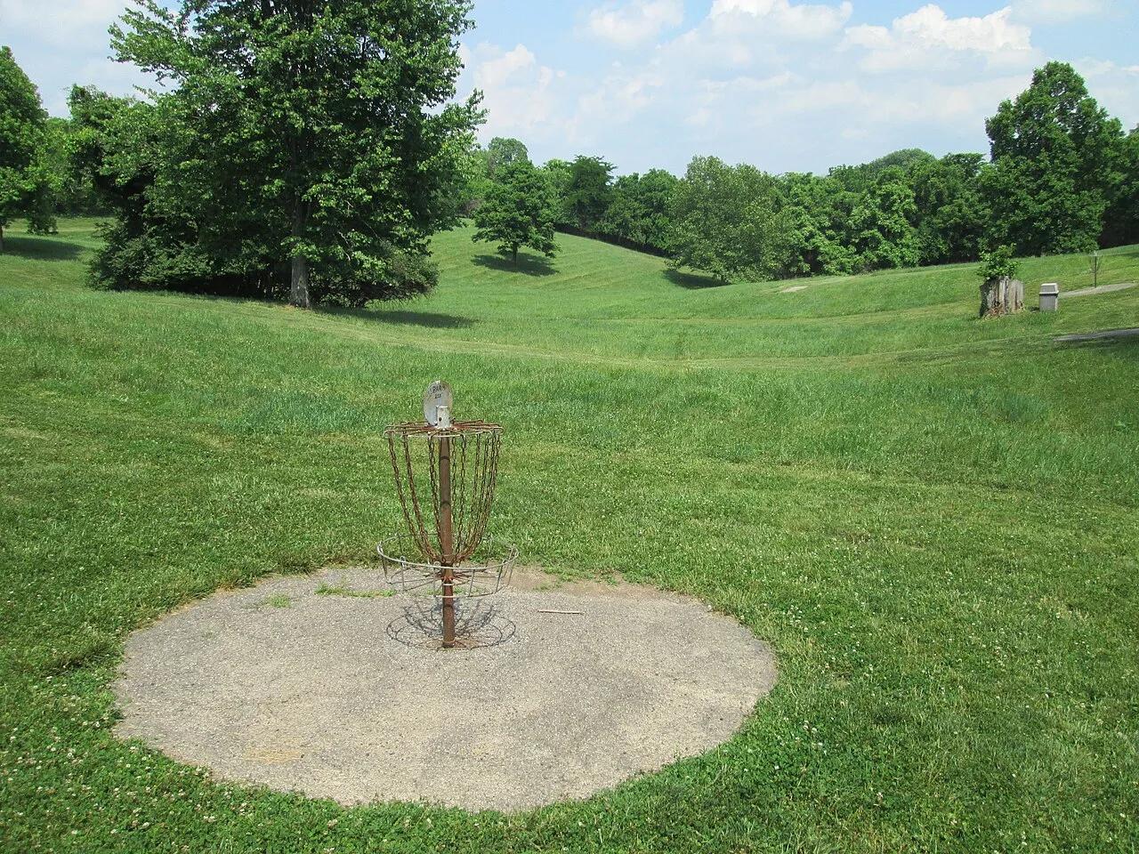
Winthrop University Recreation Complex (Rock Hill) · Appalachian & Blue Ridge · South Carolina
Home of the United States Disc Golf Championship (USDGC) since 1999—iconic lakeside championship disc golf layout.
Photo: Sirspinzalot · CC BY-SA 4.0

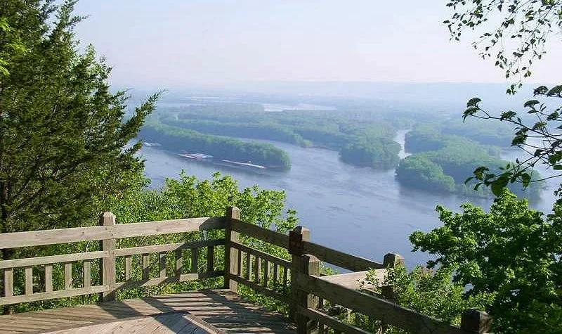
Pikes Peak State Park (McGregor) · Driftless Area · Iowa
Soaring 500-foot dolomite bluff delivering magnificent panoramas of the Wisconsin and Mississippi River confluence, paired with Bridal Veil Falls boardwalk.
Photo: McGhiever · CC BY-SA 3.0

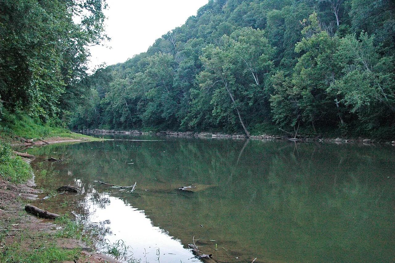
Mammoth Cave National Park · Appalachian & Blue Ridge · Kentucky
300-foot-deep collapsed karst sinkhole where an underground river surfaces briefly between limestone cliffs before vanishing back into the earth.
Photo: James St. John · CC BY 2.0

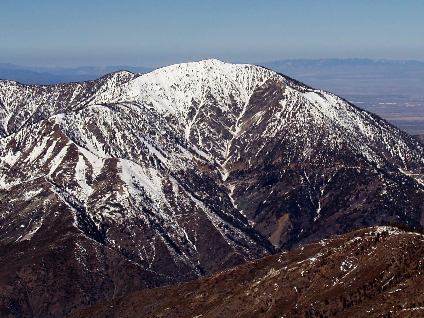
Angeles National Forest · San Gabriel Mountains
Verified California peak at 9,383 ft in Angeles National Forest (San Gabriel Mountains). Linked to PCT - California Section D.
Photo: The original uploader was Jakerome at English Wikipedia ./ Simonov · CC BY-SA 2.0

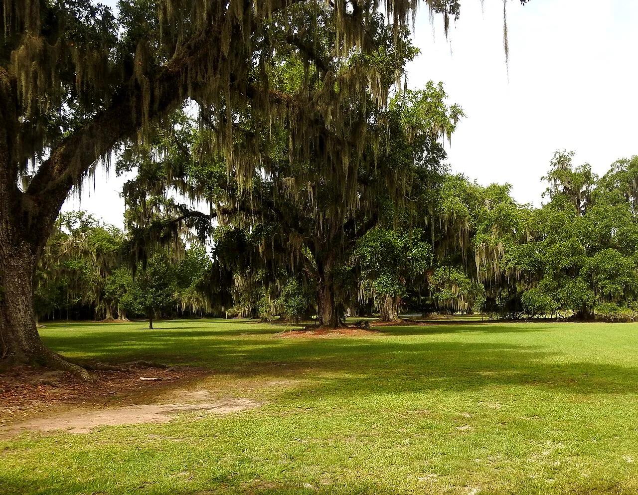
Fontainebleau State Park (Mandeville / Lake Pontchartrain) · Atlantic & Gulf Coasts · Louisiana
400-year-old live oak alleys, sandy Lake Pontchartrain beach, and marsh boardwalks connected to the 31-mile paved Tammany Trace bikeway.
Photo: Mark Holloway · CC BY 2.0

San Diego Coast & Mountains
Verified California peak at 1,558 ft in San Diego Coast & Mountains.
Photo: Lisa Brewster from San Francisco, USA · CC BY-SA 2.0

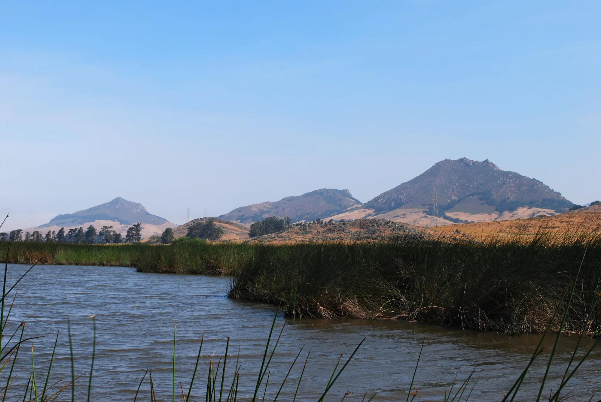
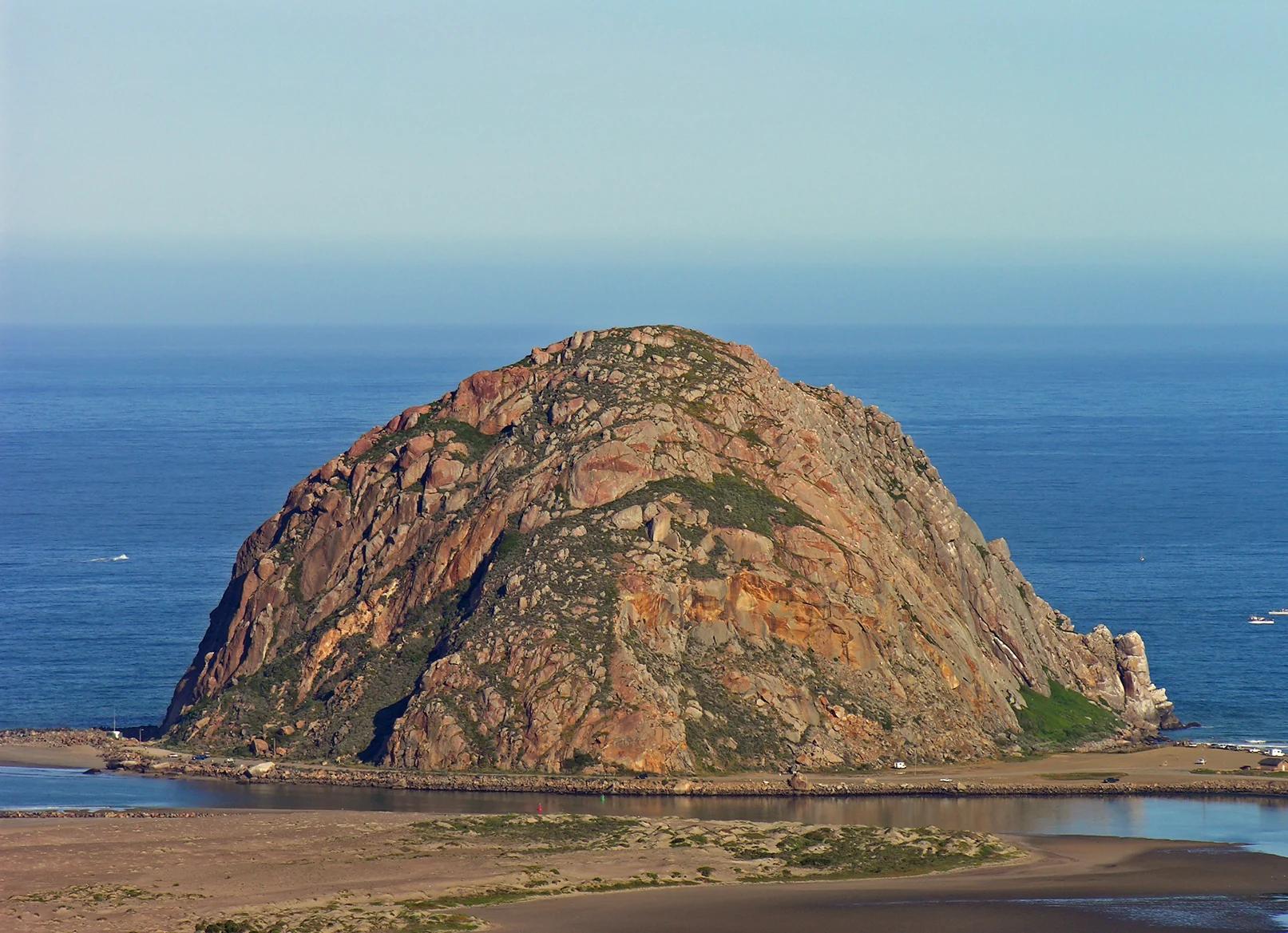
Central Coast
Verified California peak at 581 ft in Central Coast.
Photo: No machine-readable author provided. Kjkolb assumed (based on copyright claims). · CC BY 2.5

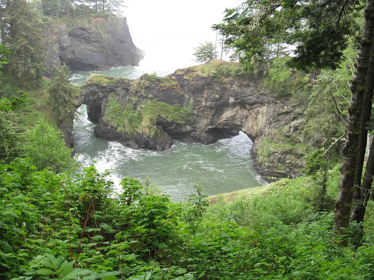
Samuel H. Boardman State Scenic Corridor (Brookings) · Pacific Northwest · Oregon
Twin Sitka-spruce-crowned sea arches spanning an emerald Pacific blowhole cove along Oregon's rugged southern coast.
Photo: Dougtone · CC BY-SA 2.0

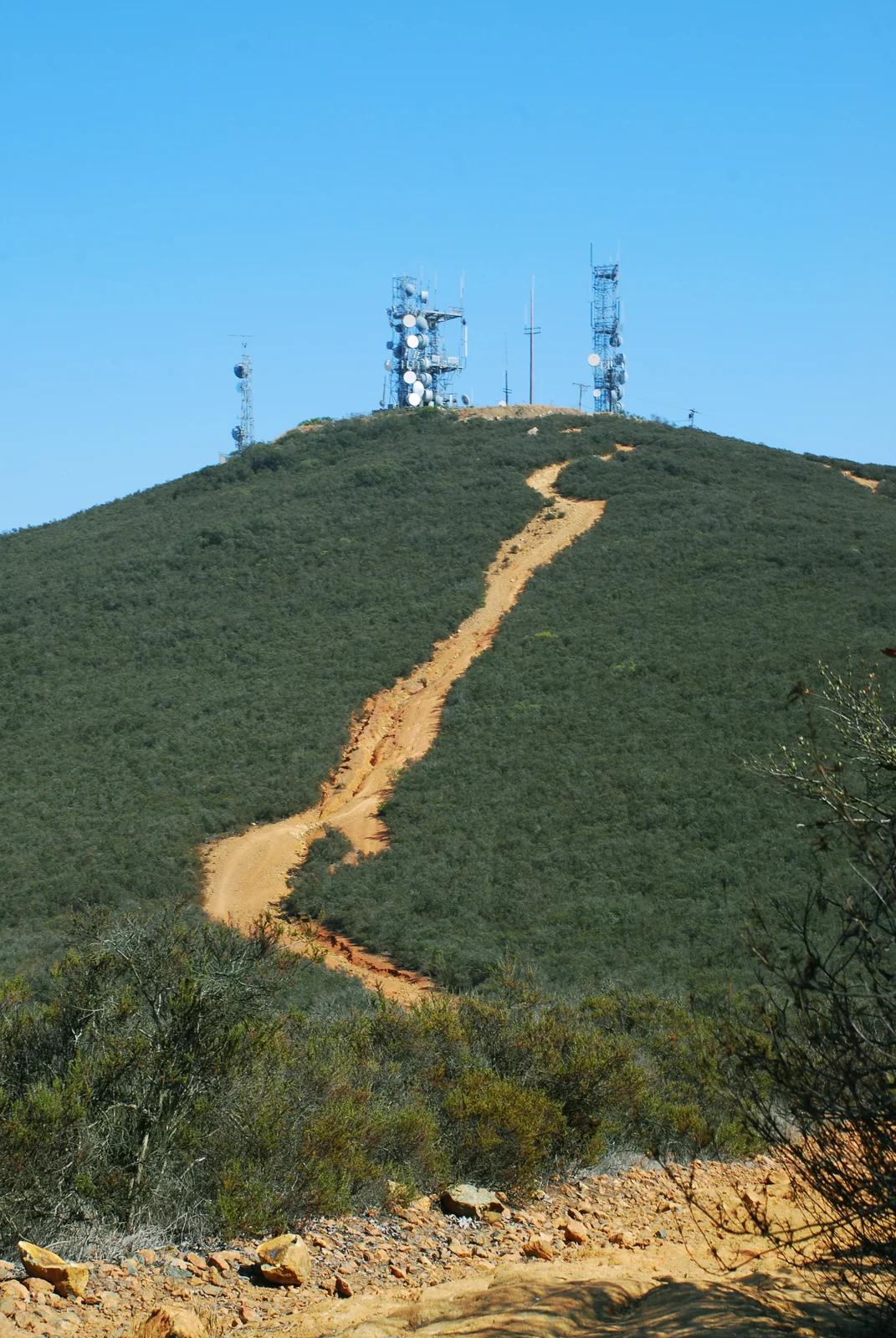
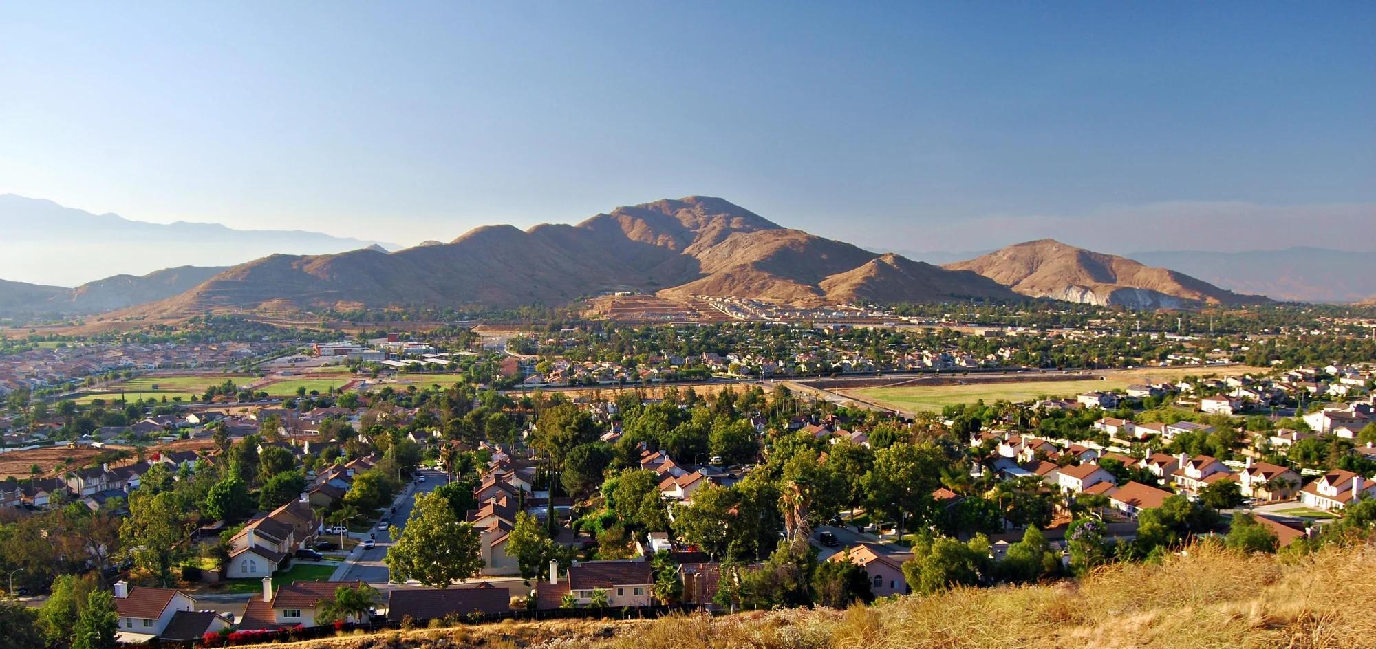
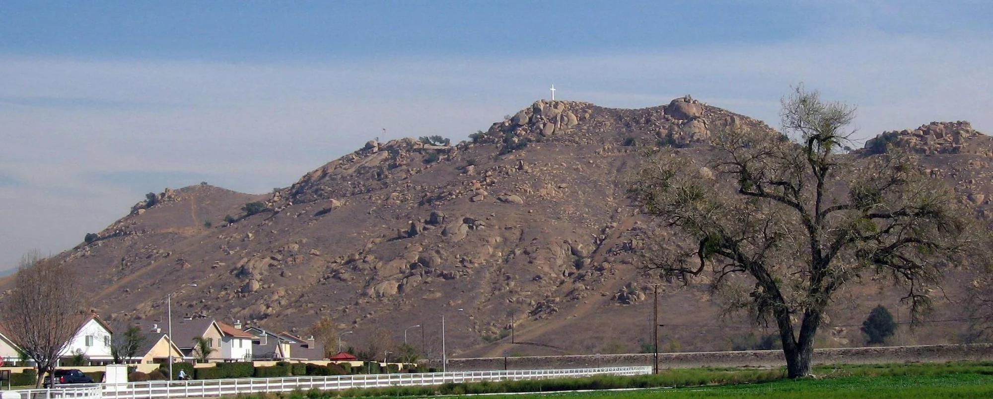
Southern California Mountains
Verified California peak at 1,329 ft in Southern California Mountains.
Photo: No machine-readable author provided. Takwish assumed (based on copyright claims). · CC BY-SA 2.5

Hornets Nest Park (Charlotte) · Appalachian & Blue Ridge · North Carolina
World-renowned Charlotte championship disc golf course ('The Nest'), regular host of the Disc Golf Pro Tour Championship.
Photo: Worksafe · CC BY-SA 4.0

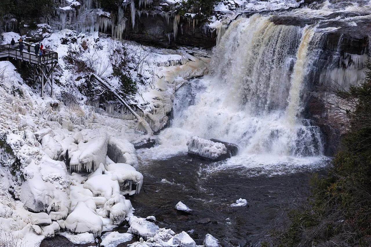
Ohiopyle State Park (Laurel Highlands) · Northeast & New England · Pennsylvania
30-foot bridal-veil waterfall you can walk behind, alongside Youghiogheny River whitewater and the Great Allegheny Passage bike trail.
Photo: bobistraveling · CC BY 2.0