Hiking trail
5 photosGrand Canyon National Park · Grand Canyon & Arizona · Arizona
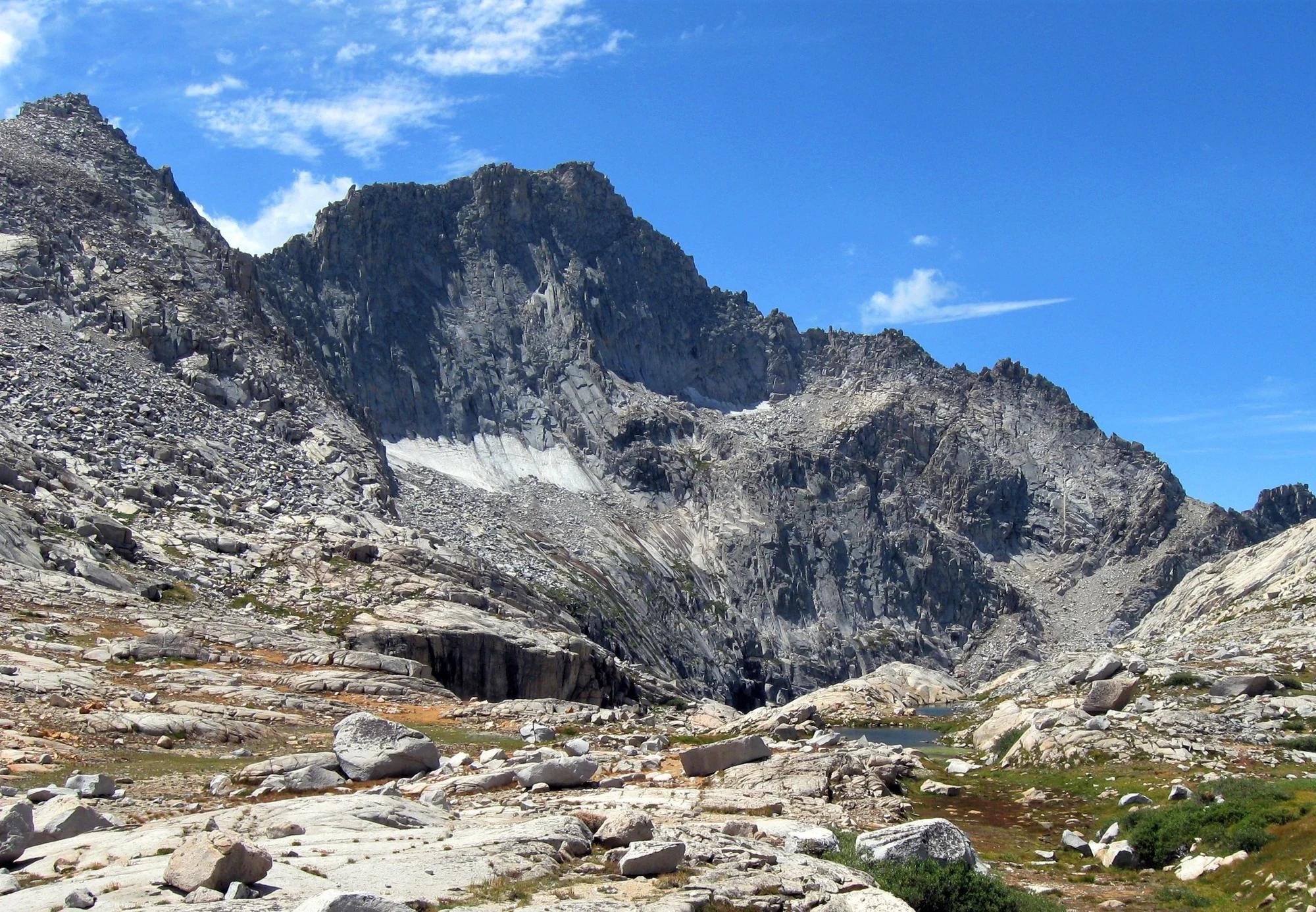
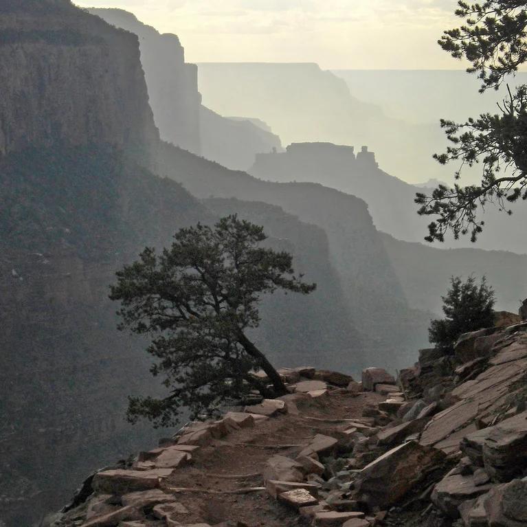
South Kaibab Trail to Ooh Aah Point
An exhilarating ridge-line descent delivering unobstructed panoramic views of the inner canyon gorge.
- Route
- 1.8 mi
- Climb
- 755 ft
Browse & Discover
Filter by activity, state, region, dog policy, or route effort — or use the interactive map below to find waterfalls, trails, beaches, bikeways, skateparks, and campgrounds near any location.
1,181 of 2,051 places
Drag to pan. Double-click, pinch or scroll to zoom. Keyboard: arrow keys and +/−. Cards below remain available.
Loading map… Browse the spot cards below at any time.

Joshua Tree National Park
A short desert trail to the historic Barker Dam water-storage structure in Joshua Tree National Park.
Hannah Schwalbe / NPS · Public domain. Source & image licence

Eaton Canyon Natural Area
The waterfall at the head of lower Eaton Canyon, reached by a wide wash walk from the Eaton Canyon Nature Center and a final creekside scramble.
[scott.medling or en:user:scott.medling user:scott.medling from California, United States] · CC BY-SA 2.0. Source & image licence

Angeles National Forest
The ruined mountain resort of the Mount Lowe Railway, on a front-range promontory above Altadena at the top of the Lower Sam Merrill Trail.
Lennonrodgers at en.wikipedia · Public domain. Source & image licence

Escondido Canyon Park
A multi-tiered waterfall in Escondido Canyon above Malibu. The maintained trail ends at the base of the mossy lower tier.
Santa Monica Mountains National Recreation Area · Public domain. Source & image licence

Inyo National Forest
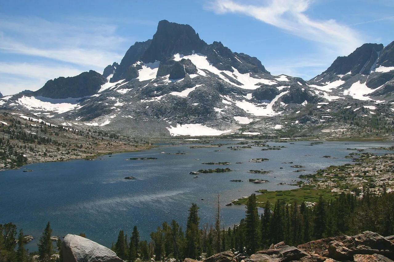
A chain of small alpine lakes at the head of Little Lakes Valley in the John Muir Wilderness, below the 13,000-foot peaks of the Bear Creek Spire cirque.
Jane S. Richardson (talk · contribs) · CC BY-SA 3.0. Source & image licence

Mount Tamalpais Watershed
A winter-and-spring cascade on Cataract Creek just below the Laurel Dell picnic area, reached downhill along the Cataract Trail from Rock Spring.
Richard Wood · CC BY-SA 3.0. Source & image licence

Joshua Tree National Park
One of the best-preserved stamp mills in Joshua Tree National Park, at the site of the Lost Horse gold mine.
Joseph from Cabin On The Road, USA · CC BY-SA 2.0. Source & image licence

Angeles National Forest
A waterfall of about fifty feet filling the head of a narrow, shaded canyon, a short walk upstream from Millard Campground.
Region 5 Photography · Public domain. Source & image licence

Inyo National Forest
A quiet lake in the Ansel Adams Wilderness beneath Parker Peak, reached through sage and an aspen-lined creek canyon off the June Lake Loop.
Mark Gunn from Novato, California, USA · CC BY 2.0. Source & image licence

Pfeiffer Big Sur State Park
A 60-foot waterfall on Pfeiffer-Redwood Creek, reached through the redwoods of Pfeiffer Big Sur State Park on a trail twice rebuilt — after the 2008 Basin Complex Fire and again after 2023 storm damage.
Joe Mabel · CC BY-SA 4.0. Source & image licence

Angeles National Forest
A 50-foot single drop into a shallow plunge pool, 1.7 mi up Big Santa Anita Canyon. Shaded the entire way in. The work is all on the walk out.
U.S. Department of Agriculture / USDA USFS · CC BY 2.0. Source & image licence

Santa Monica Mountains National Recreation Area
The ruins of the Roberts family ranch house at the end of the canyon-floor trail in Solstice Canyon, beside a small seasonal waterfall.
George Heras / Santa Monica Mountains National Recreation Area · Public domain. Source & image licence

Pfeiffer Big Sur State Park
An overlook above the Big Sur River valley, looking north over the redwoods toward Point Sur and the Pacific.
King of Hearts · CC BY-SA 3.0. Source & image licence
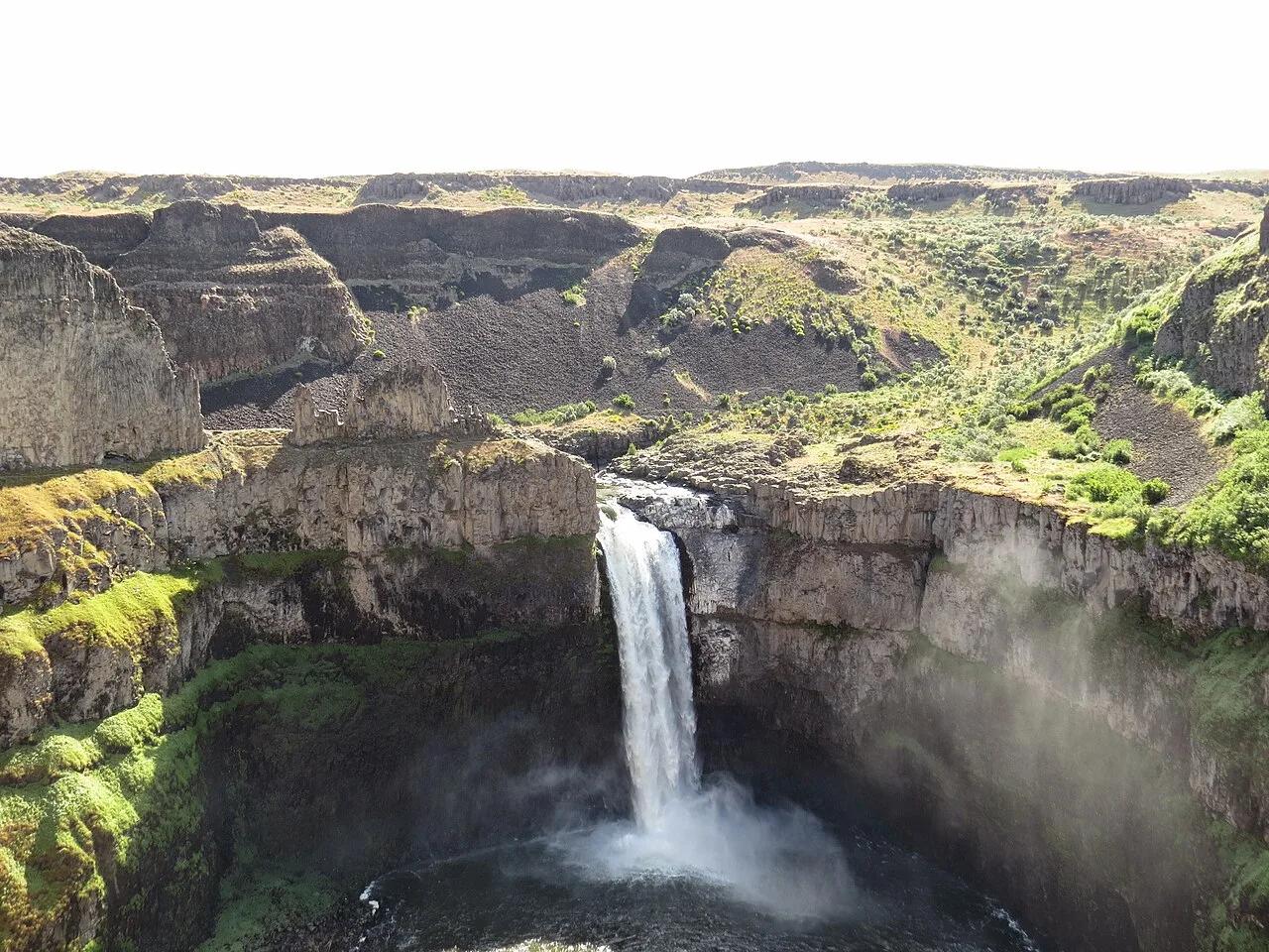
Palouse Falls State Park (LaCrosse) · Pacific Northwest · Washington
Washington's official state waterfall—a 198-foot cataract plunging into a circular Missoula Floods columnar basalt amphitheater.
Photo: Mcjenkins · CC BY-SA 4.0
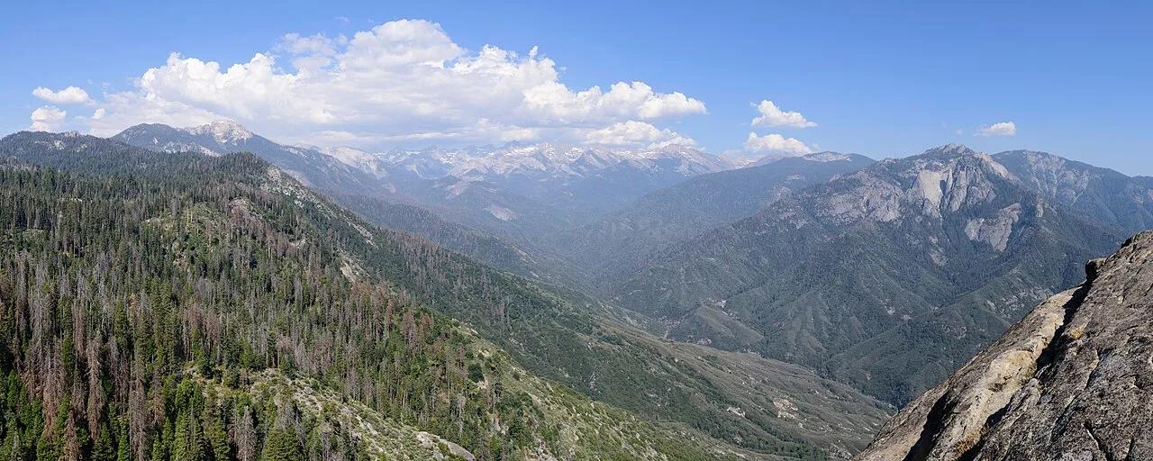
Sequoia National Park · Southern Sierra
350 stone-carved steps ascending a monolithic granite fin above the Kaweah River gorge, paired with giant sequoia groves around General Sherman.
Photo: King of Hearts · CC BY-SA 4.0
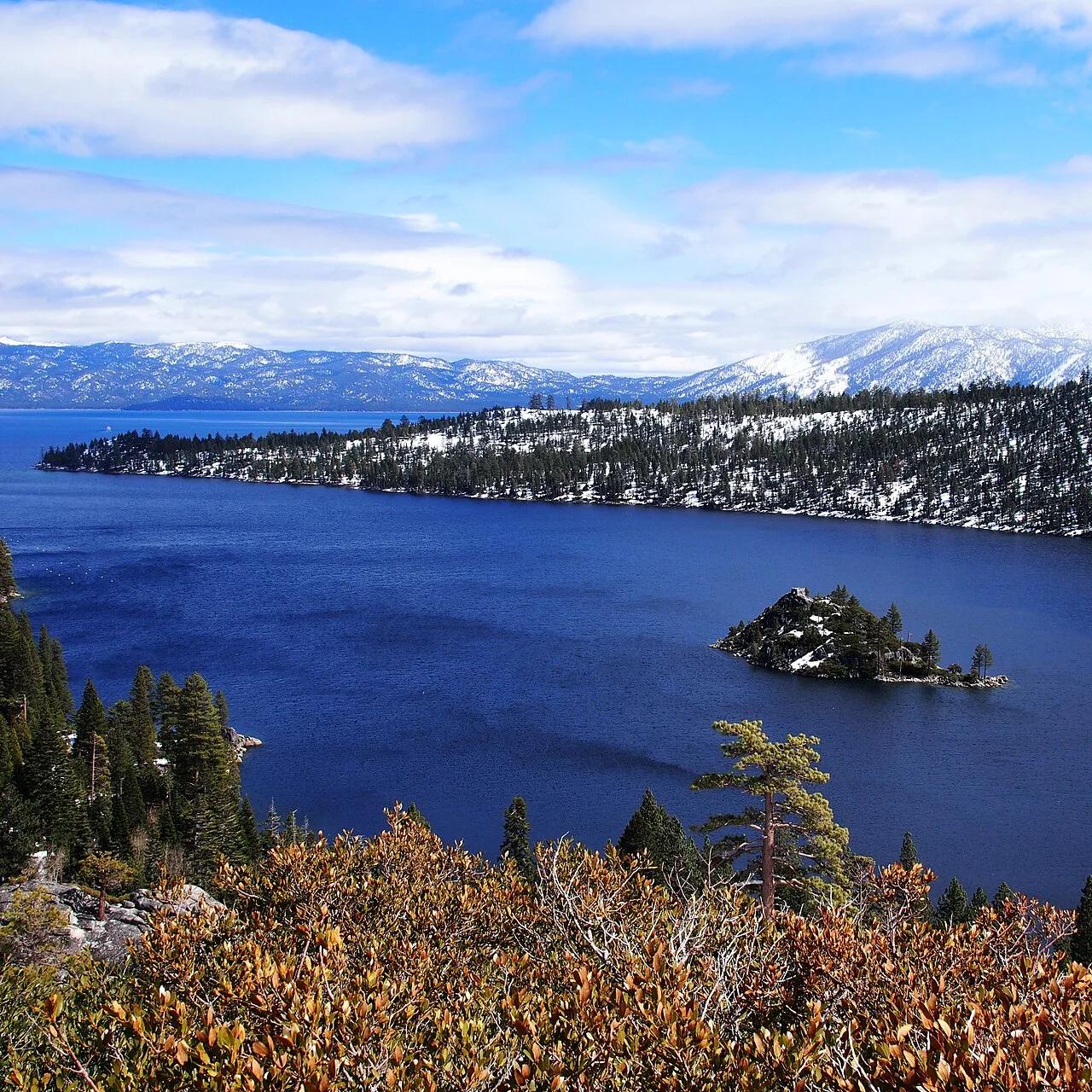
D.L. Bliss & Emerald Bay State Parks (Lake Tahoe) · Tahoe & Northern Sierra
Granite cliffside footpath hugging the cobalt-and-emerald waters of Lake Tahoe above Fannette Island and Vikingsholm Castle.
Photo: TJH1976 · Public domain

Acadia National Park · New England & Adirondacks · Maine
Traces pink granite coastal headlands from Sand Beach past the booming sea-surge of Thunder Hole to Otter Cliff.
Photo: w:User:Michael180 (User:ThePlaz on Commons) · CC BY-SA 2.5
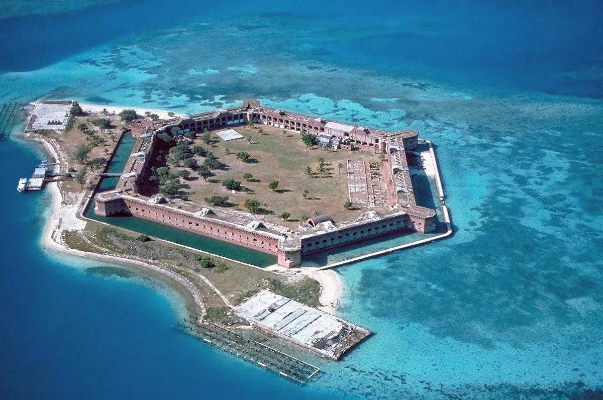
Dry Tortugas National Park (70 Miles West of Key West) · Atlantic & Gulf Coasts · Florida
Remote coral atoll and turquoise snorkeling moat encircling 19th-century Fort Jefferson in the Gulf of Mexico.
Photo: U.S. National Park Service · Public domain
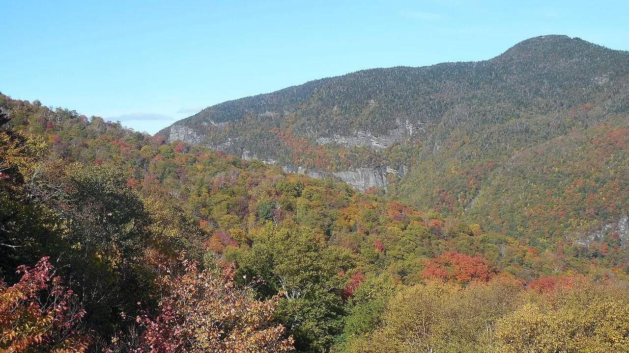
Smugglers' Notch Resort (Jeffersonville) · Northeast & New England · Vermont
Open alpine meadow 18-hole Pro Tour championship disc golf course framed by the Green Mountains and Sterling Range.
Photo: Niranjan Arminius · CC BY-SA 4.0
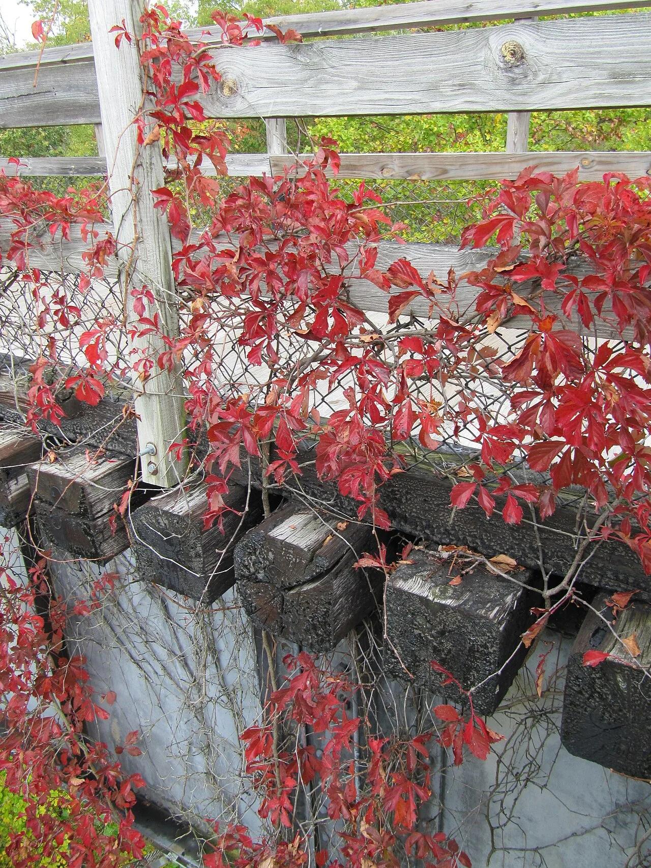
Mount Rogers National Recreation Area · Appalachian & Blue Ridge · Virginia
17-mile downhill rail-trail ride across 30 wooden trestle bridges along rushing Whitetop Laurel Creek from Whitetop Station to Damascus.
Photo: Virginia State Parks staff · CC BY 2.0
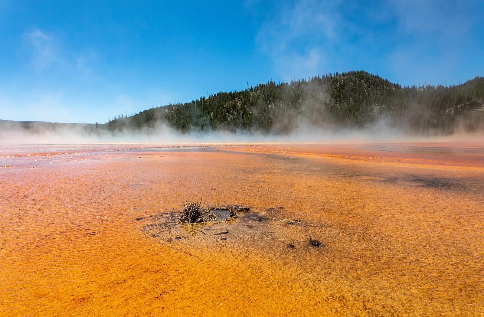
Yellowstone National Park · Yellowstone, Tetons & Northern Rockies · Wyoming
Elevated viewpoint looking down onto the rainbow-colored bacterial mats and steaming azure center of Grand Prismatic Spring.
Photo: Dietmar Rabich · CC BY-SA 4.0
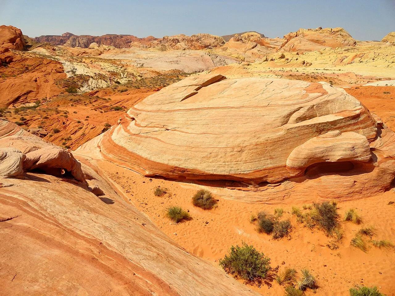
Valley of Fire State Park (Overton) · Great Basin & Desert Southwest · Nevada
Swirling ribbons of crimson, pink, and saffron Aztec sandstone paired with a narrow slot canyon and historic film ruin.
Photo: Fabio Achilli from Milano, Italy · CC BY 2.0