Hiking trail
Glacier National Park · Glacier Country · Montana
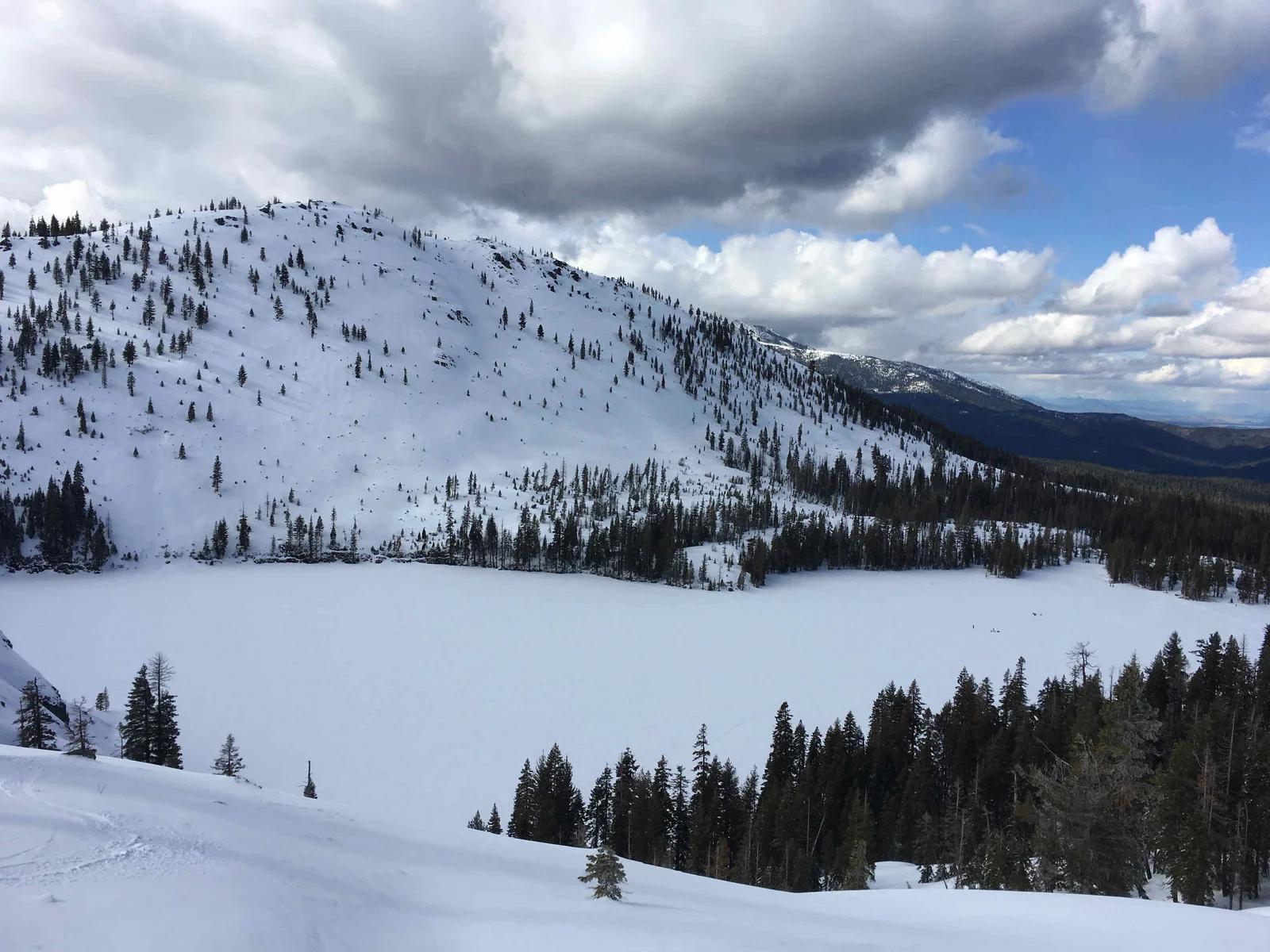
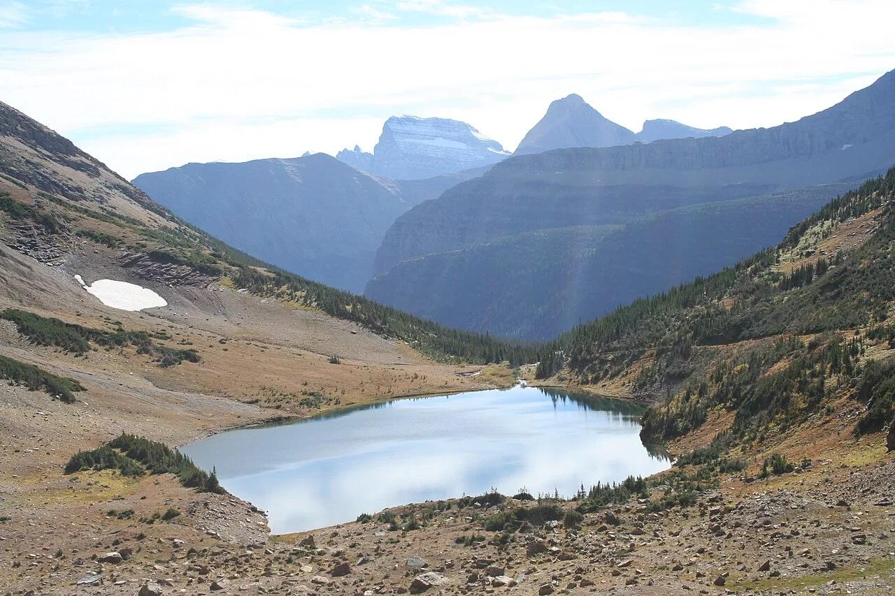
Ptarmigan Tunnel Trail
Historic 183-foot pedestrian tunnel carved directly through the knife-edge Ptarmigan Wall revealing breathtaking valley vistas.
- Route
- 10.7 mi
- Climb
- 2,297 ft
Browse & Discover
Filter by activity, state, region, dog policy, or route effort — or use the interactive map below to find waterfalls, trails, beaches, bikeways, skateparks, and campgrounds near any location.
1,365 of 2,051 places
Drag to pan. Double-click, pinch or scroll to zoom. Keyboard: arrow keys and +/−. Cards below remain available.
Loading map… Browse the spot cards below at any time.

Joshua Tree National Park
A short desert trail to the historic Barker Dam water-storage structure in Joshua Tree National Park.
Hannah Schwalbe / NPS · Public domain. Source & image licence

Eaton Canyon Natural Area
The waterfall at the head of lower Eaton Canyon, reached by a wide wash walk from the Eaton Canyon Nature Center and a final creekside scramble.
[scott.medling or en:user:scott.medling user:scott.medling from California, United States] · CC BY-SA 2.0. Source & image licence

Angeles National Forest
The ruined mountain resort of the Mount Lowe Railway, on a front-range promontory above Altadena at the top of the Lower Sam Merrill Trail.
Lennonrodgers at en.wikipedia · Public domain. Source & image licence

Escondido Canyon Park
A multi-tiered waterfall in Escondido Canyon above Malibu. The maintained trail ends at the base of the mossy lower tier.
Santa Monica Mountains National Recreation Area · Public domain. Source & image licence

Inyo National Forest
A chain of small alpine lakes at the head of Little Lakes Valley in the John Muir Wilderness, below the 13,000-foot peaks of the Bear Creek Spire cirque.
Jane S. Richardson (talk · contribs) · CC BY-SA 3.0. Source & image licence

Mount Tamalpais Watershed
A winter-and-spring cascade on Cataract Creek just below the Laurel Dell picnic area, reached downhill along the Cataract Trail from Rock Spring.
Richard Wood · CC BY-SA 3.0. Source & image licence

Joshua Tree National Park
One of the best-preserved stamp mills in Joshua Tree National Park, at the site of the Lost Horse gold mine.
Joseph from Cabin On The Road, USA · CC BY-SA 2.0. Source & image licence

Angeles National Forest
A waterfall of about fifty feet filling the head of a narrow, shaded canyon, a short walk upstream from Millard Campground.
Region 5 Photography · Public domain. Source & image licence

Inyo National Forest
A quiet lake in the Ansel Adams Wilderness beneath Parker Peak, reached through sage and an aspen-lined creek canyon off the June Lake Loop.
Mark Gunn from Novato, California, USA · CC BY 2.0. Source & image licence

Pfeiffer Big Sur State Park
A 60-foot waterfall on Pfeiffer-Redwood Creek, reached through the redwoods of Pfeiffer Big Sur State Park on a trail twice rebuilt — after the 2008 Basin Complex Fire and again after 2023 storm damage.
Joe Mabel · CC BY-SA 4.0. Source & image licence

Angeles National Forest
A 50-foot single drop into a shallow plunge pool, 1.7 mi up Big Santa Anita Canyon. Shaded the entire way in. The work is all on the walk out.
U.S. Department of Agriculture / USDA USFS · CC BY 2.0. Source & image licence

Santa Monica Mountains National Recreation Area
The ruins of the Roberts family ranch house at the end of the canyon-floor trail in Solstice Canyon, beside a small seasonal waterfall.
George Heras / Santa Monica Mountains National Recreation Area · Public domain. Source & image licence

Pfeiffer Big Sur State Park
An overlook above the Big Sur River valley, looking north over the redwoods toward Point Sur and the Pacific.
King of Hearts · CC BY-SA 3.0. Source & image licence
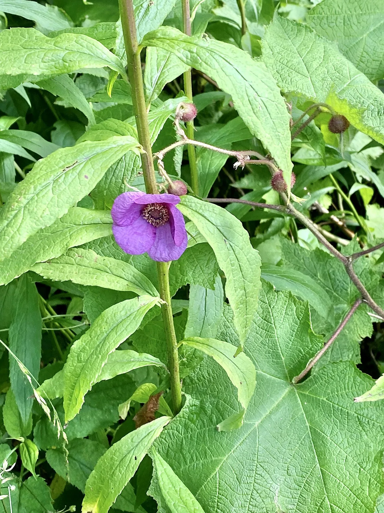
Blue Ridge Parkway / Grandfather Mountain · Appalachian & Blue Ridge · North Carolina
Cantilevered wooden boardwalk protecting rare high-altitude sedge and heller's blazing star across jagged Grandfather Mountain rocky crags.
Photo: w_lemay · CC BY-SA 2.0
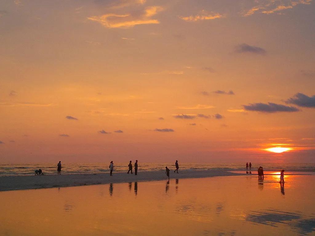
Honeymoon Island State Park (Dunedin) · Atlantic & Gulf Coasts · Florida
Paved Gulf Coast rail-trail and turquoise causeway crossing St. Joseph Sound to osprey-nested slash pine forests and shell beaches.
Photo: jonathan c. wheeler · CC BY-SA 3.0
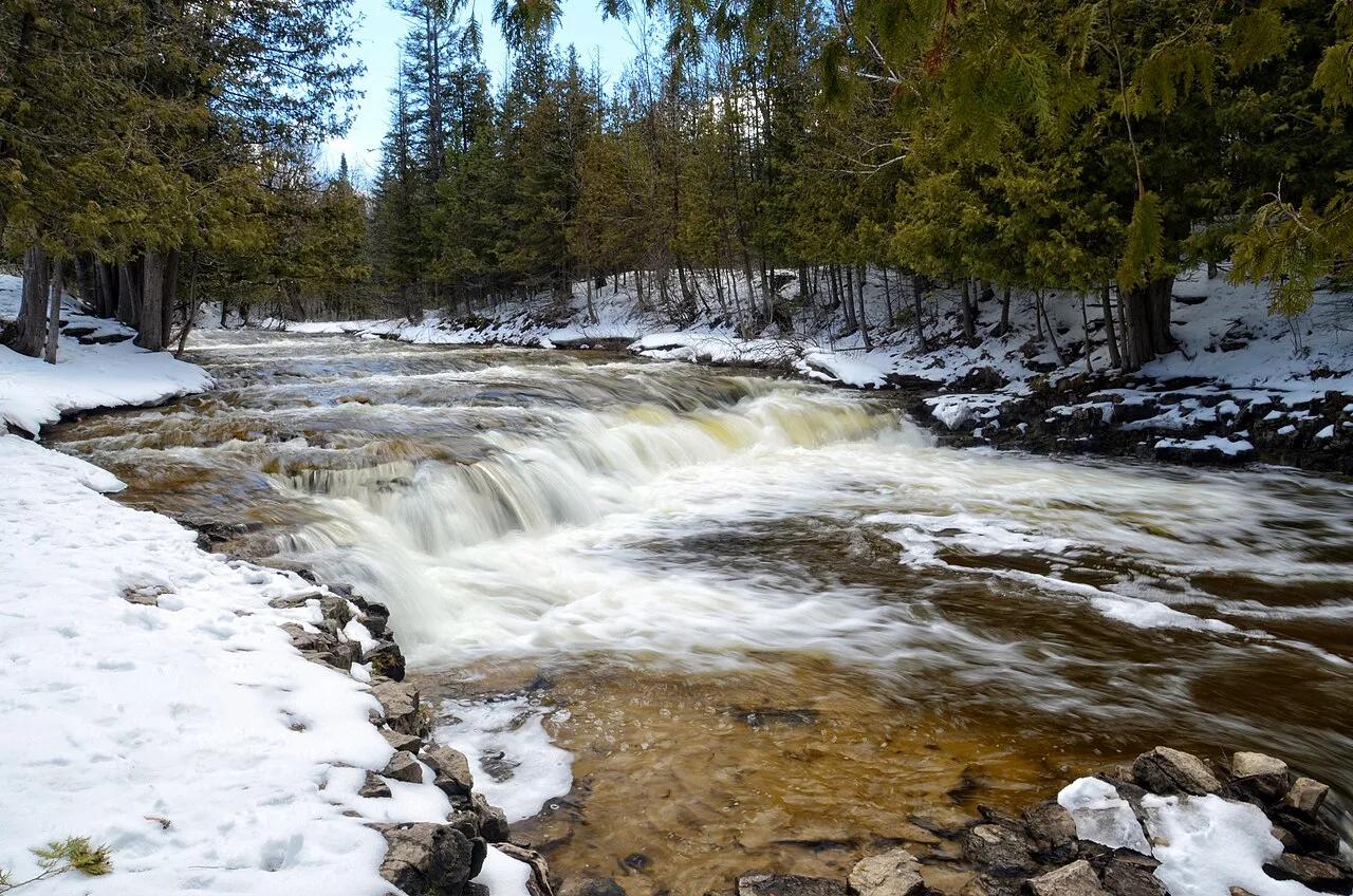
Ocqueoc Falls State Forest Campground · Northern Lower Peninsula · Michigan
The only universally accessible waterfall in the United States and the largest waterfall in Michigan's Lower Peninsula, cascading over limestone bedrock ledges.
Photo: Tony Faiola from Mid-Michigan, U.S.A. · CC BY 2.0
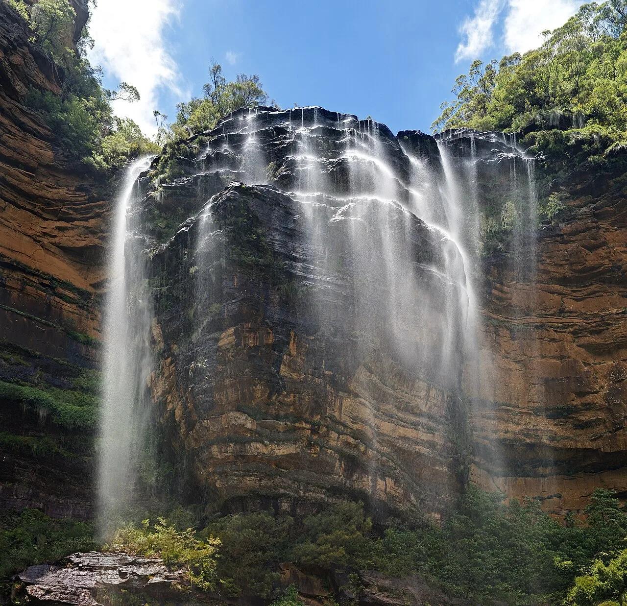
Blue Mountains National Park (UNESCO World Heritage) · Oceania · Australia
187-meter three-tiered sandstone waterfall and hand-carved 1908 cliff ledge trail overlooking the eucalyptus-filled Jamison Valley.
Photo: Diliff · CC BY-SA 3.0
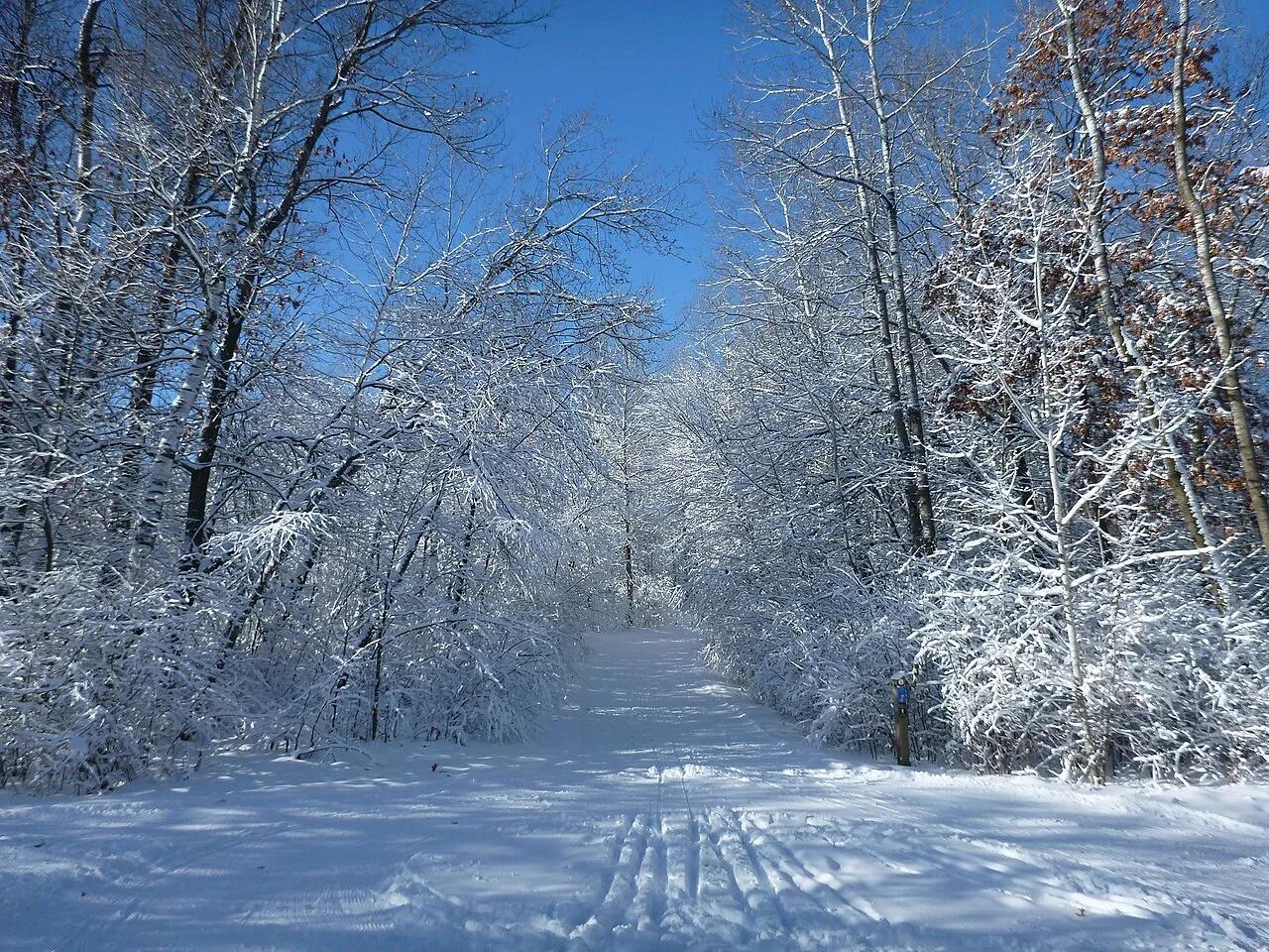
Lebanon Hills Regional Park (Dakota County) · Twin Cities South · Minnesota
Over 2,000 acres of glacial kettle lakes, hardwood knolls, and rolling singletrack trails offering prime mountain biking, paddling, and hiking.
Photo: Mgust · CC BY-SA 4.0
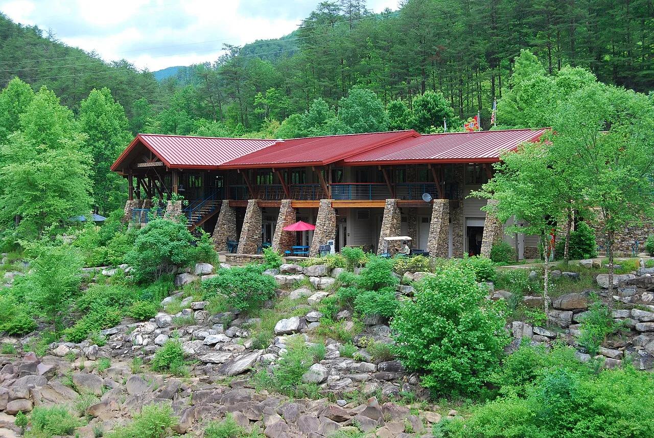
Cherokee National Forest (Ocoee River Gorge) · Appalachian & Blue Ridge · Tennessee
1996 Olympic slalom boulder rapids and suspension footbridge in the copper-walled Ocoee River Gorge, linked to the Tanasi mountain bike network.
Photo: Parkerdr · CC BY-SA 3.0
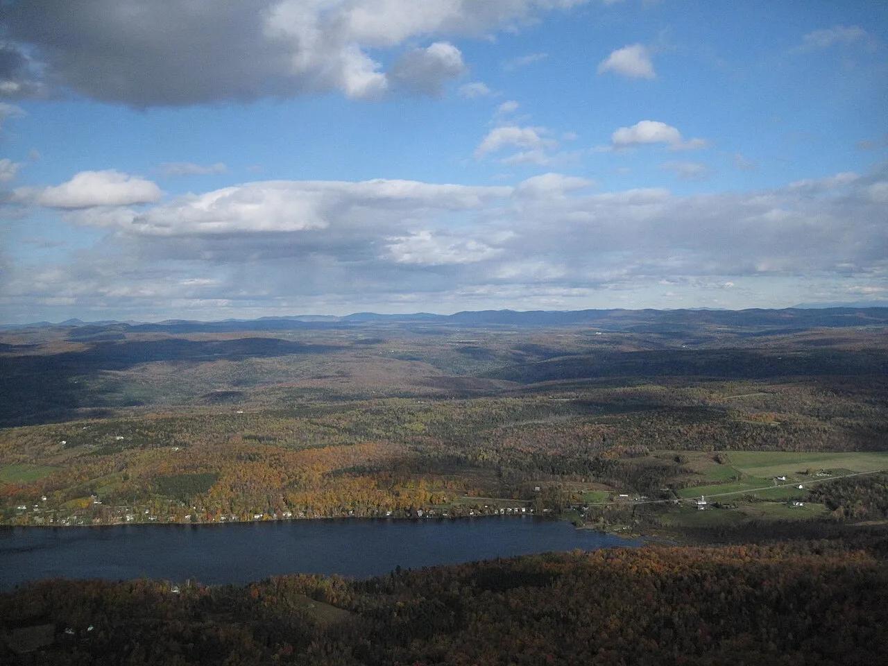
Smugglers' Notch Disc Golf Center · Northeast & New England · Vermont
World-renowned technical sugar-maple and birch forest 18-hole disc golf course hosting the Green Mountain Championship.
Photo: Connie from Cambridge, MA, USA · CC BY 2.0
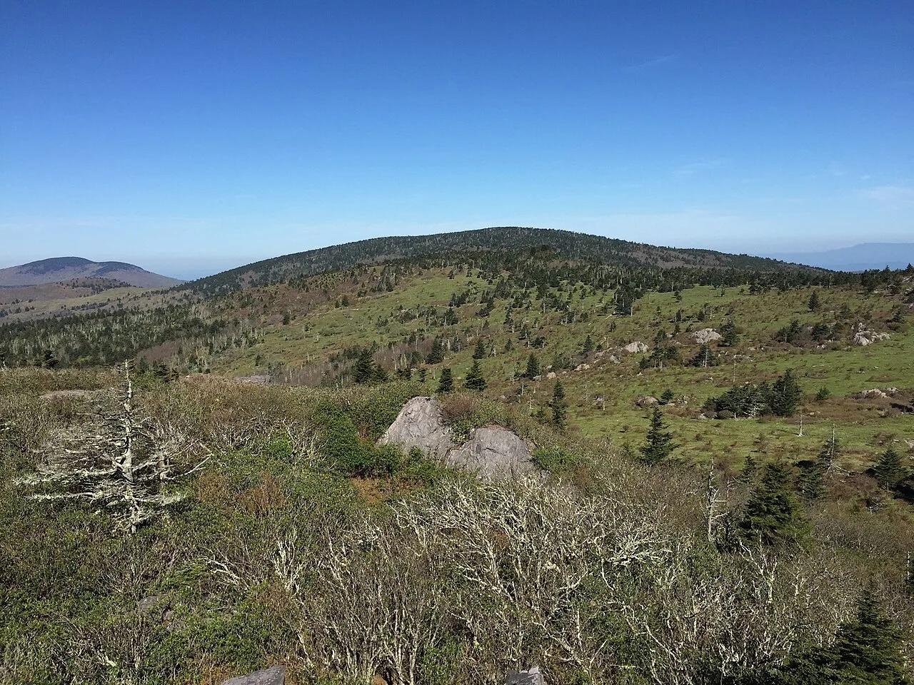
Mount Rogers National Recreation Area · Appalachian & Blue Ridge · Virginia
High-elevation red spruce-Fraser fir sky island and rhyolite boulder balds grazed by wild Grayson Highlands ponies along the Appalachian Trail.
Photo: Famartin · CC BY-SA 4.0
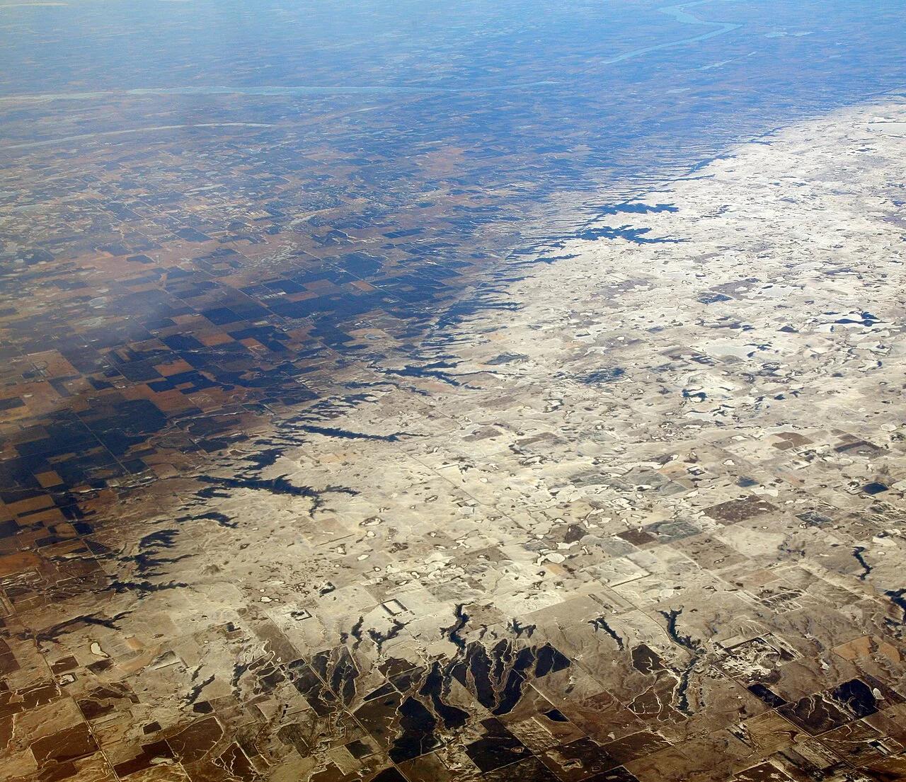
Sica Hollow State Park (Coteau des Prairies) · Great Plains & Heartland · South Dakota
Iron-oxide-stained crimson springs and maple-basswood ravines cutting into the eastern escarpment of the Coteau des Prairies plateau.
Photo: Doc Searls · CC BY 2.0
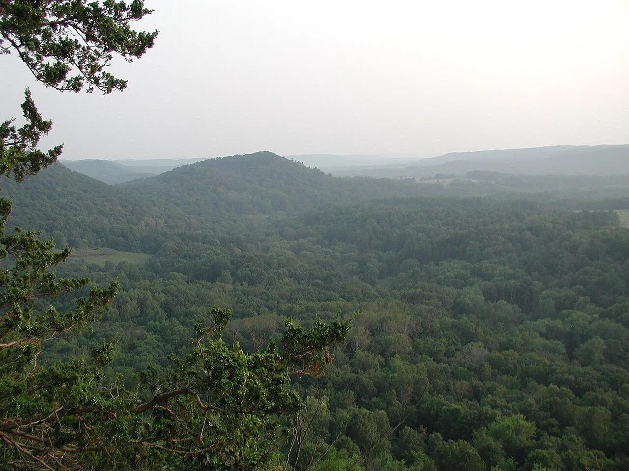
Wildcat Mountain State Park & Kickapoo Valley Reserve (Ontario) · Midwest & Great Lakes · Wisconsin
The crookedest river in the Midwest, meandering through Driftless sandstone overhangs, maidenhair fern cliffs, and red pine ledges.
Photo: Dandog77 · CC BY-SA 3.0
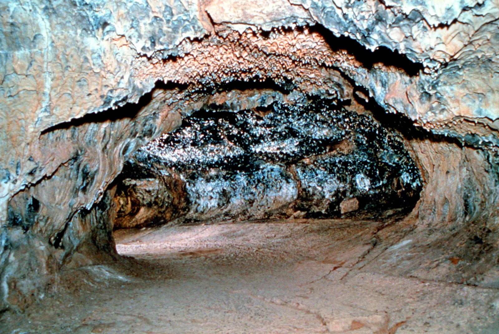
Lassen National Forest · Shasta-Cascades
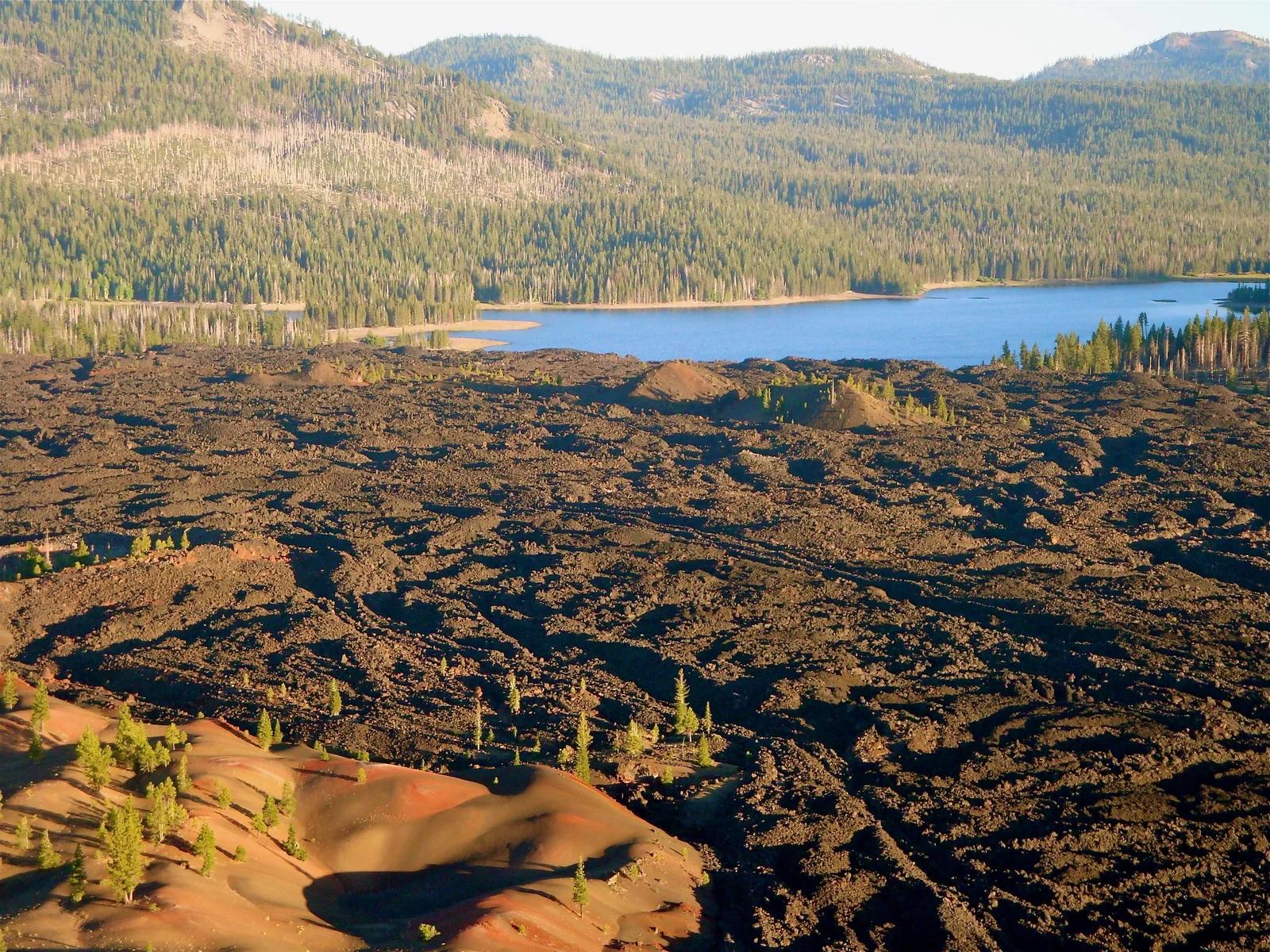
An underground lava tube formed roughly 20,000 years ago where hikers explore dark basalt tunnels with flashlights.
Photo: Unknown authorUnknown author or not provided · Public domain
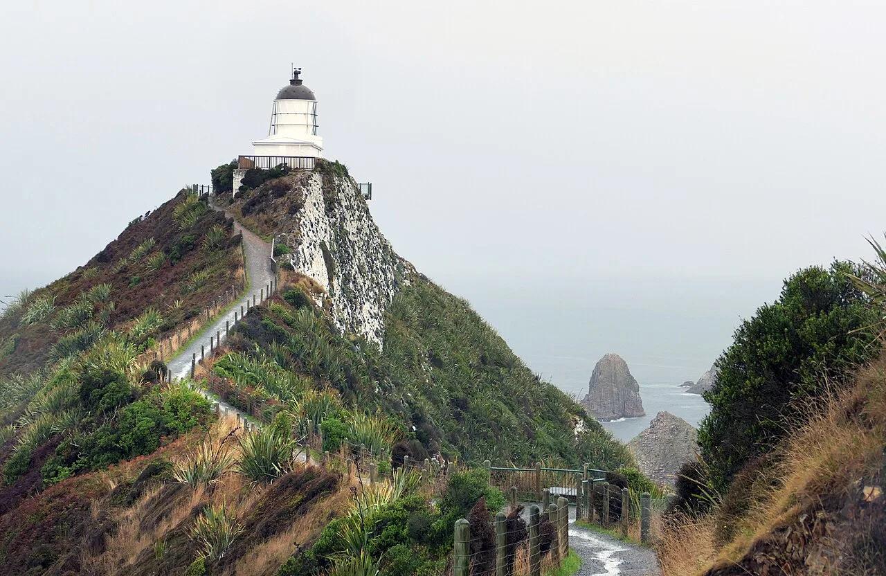
Catlins Conservation Park · Oceania · New Zealand
Knife-edge clifftop footpath to an 1869 stone lighthouse perched above wave-swept rocky 'nugget' islets and fur seal colonies.
Photo: Bernard Spragg. NZ from Christchurch, New Zealand · Public domain
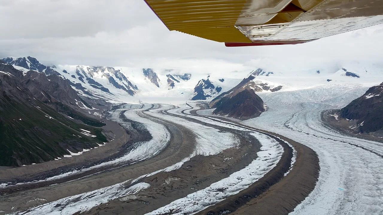
Wrangell-St. Elias National Park & Preserve (McCarthy) · Alaska
Walk directly onto the brilliant blue ice pools and moulins of the Root Glacier beneath 16,390-foot Mount Blackburn in America's largest national park.
Photo: Christoph Strässler from Oberdorf BL, Schweiz · CC BY-SA 2.0
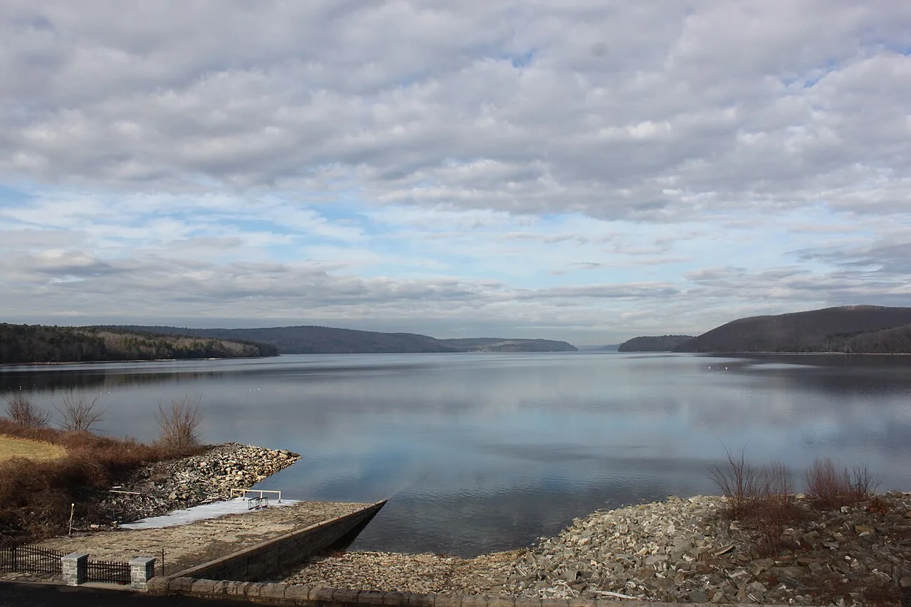
Quabbin Reservoir Reservation (DCR) · Central Massachusetts · Massachusetts
A 39-square-mile pristine drinking water reservoir surrounded by 80,000 acres of protected wilderness and nesting bald eagles.
Photo: engineerchange · CC BY 2.0
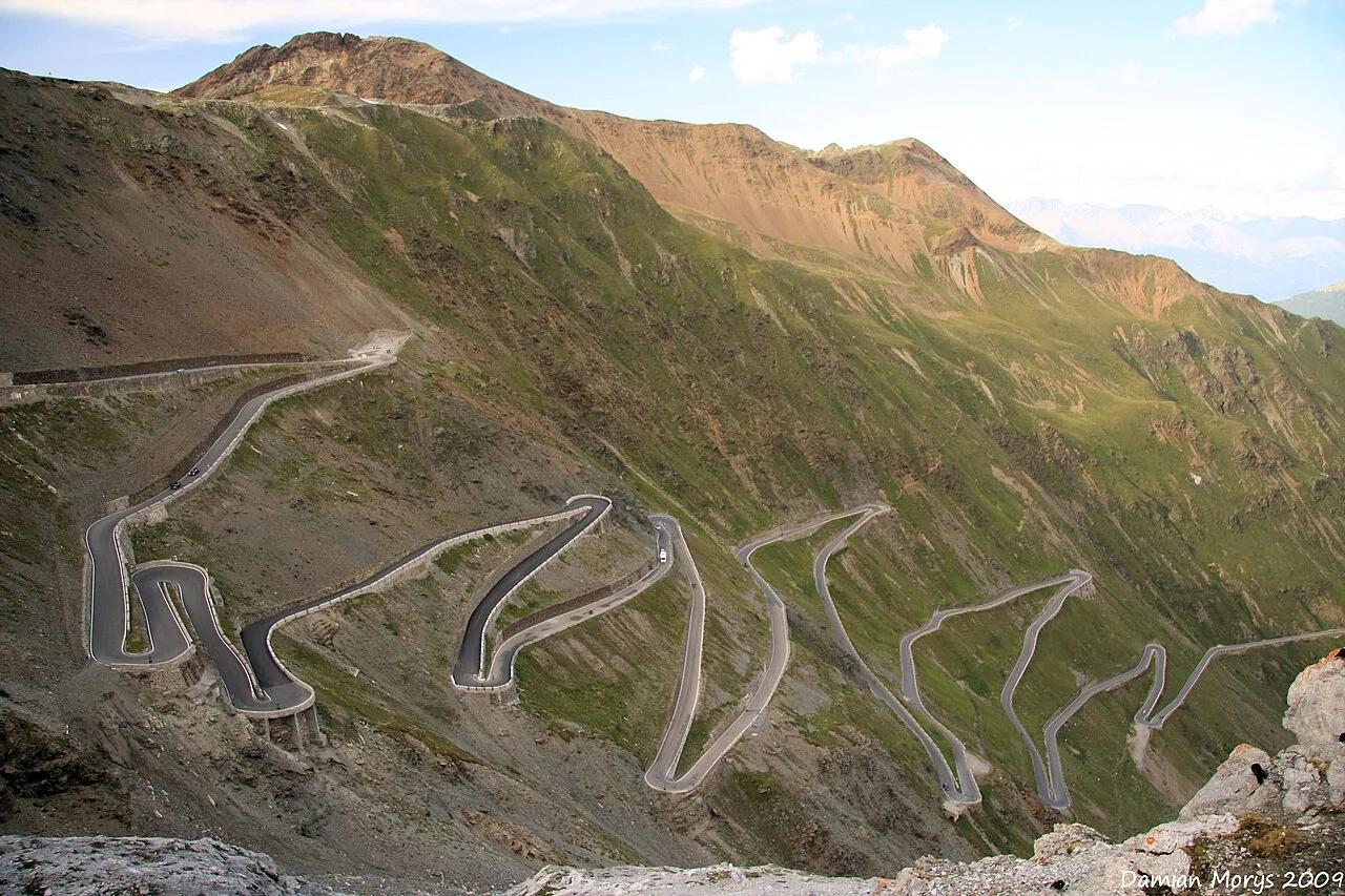
Stelvio National Park · European Alps · Italy
Legendary 2,757-meter alpine mountain pass ascending 48 numbered stone switchbacks beneath the Ortler glaciers.
Photo: Damian Morys from New York City, United States · CC BY 2.0
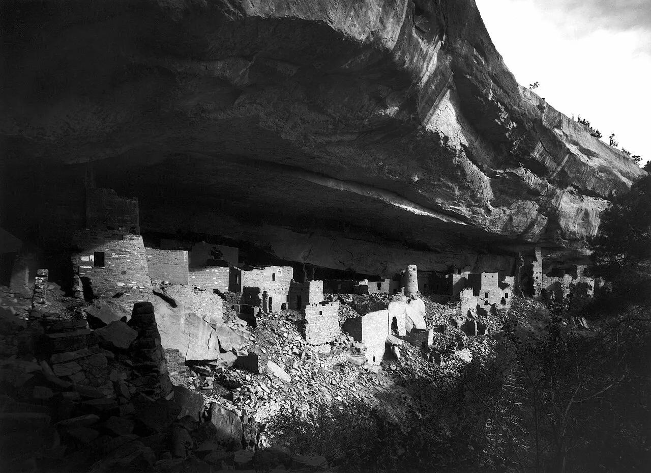
Mesa Verde National Park · American Southwest · Colorado
The largest ancestral Pueblo cliff dwelling in North America, tucked into a massive sandstone canyon alcove.
Photo: Gustaf Nordenskiöld, edit of en:Image:Mesa Verde - Cliff Palace in 1891.jpg b... · Public domain